When I arrived in Dawson Creek, I was dog tired from driving. I’d pushed it almost 500 miles that day, all the way from a tiny town called 100 Mile House, where I’d stayed in a cheap motel after crossing the border north of Seattle. According to my carefully planned lodging budget, I was supposed to hunt for a campground and pitch a tent that night, but honestly, that was the LAST thing I wanted to do, so I sprang for a motel instead. (Budget? We don’t got no budget. We don’t need no steenking budget!) They were asking $135 Canadian for a room at the Super 8, so I checked into a mom and pop place down the street, where I got a $79 single that was decent enough.
The Alaska Highway!
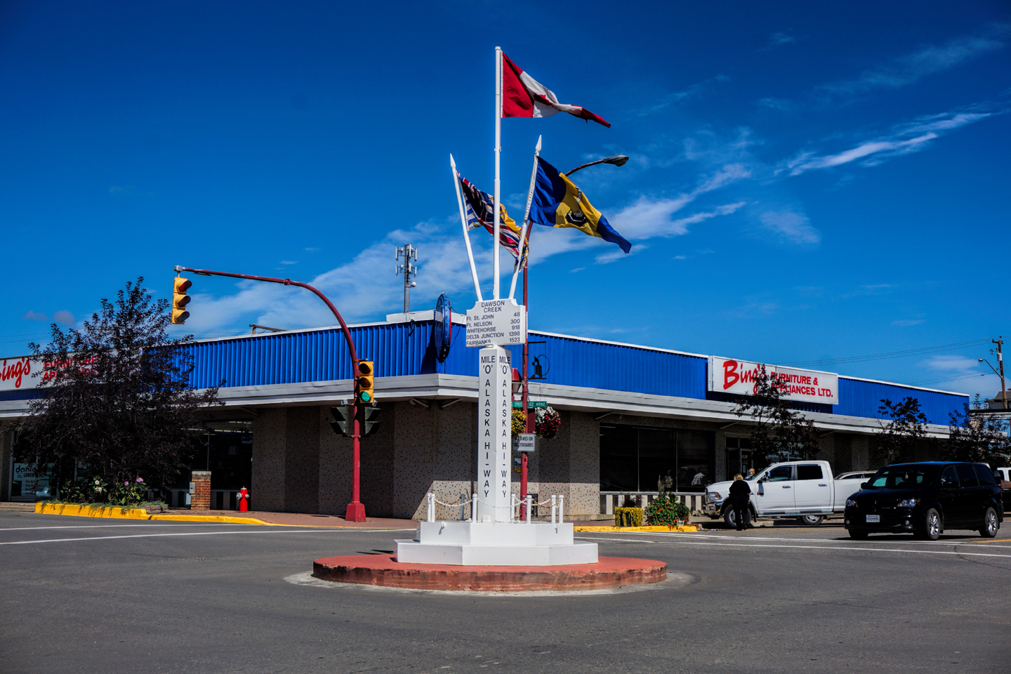
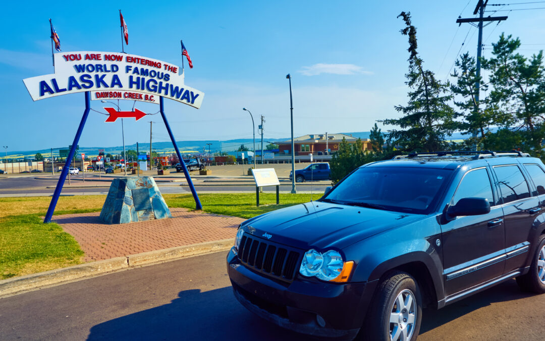
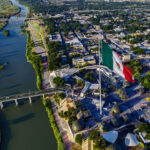
Mile 0 of the Alaska Highway
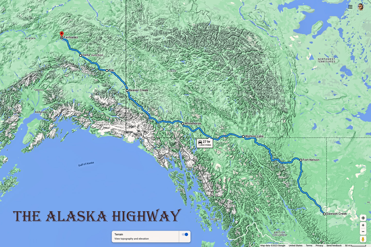
Click Maps and Photos for an expanded view.
The wi-fi was pretty iffy. That seemed to be a problem almost everywhere I stayed in Canada. I finally got it to work, but only (when I stood on one leg 😉 ) in a particular spot in their parking lot. I managed to get some messages sent to family and friends using my phone, though I was never able to connect with my laptop, because the signal was just too weak.
I drove to the Visitor’s Center, where I took some obligatory photos by the “World Famous Alaska Highway” sign before going inside for road information. I learned that just two days before, the highway near Fort Nelson had been closed for almost 24 hours after a huge forest fire jumped the road. When it re-opened, traffic was reduced to alternating one way, with backed-up lines of vehicles led through the smoke by pilot cars. According to the Visitor’s center, all that was better now. I did some laundry at my motel, had some dinner, and stayed up too late, thrown off by the extended daylight. I hadn’t even started on the Al-Can yet, and this was already the farthest north I’d ever been.
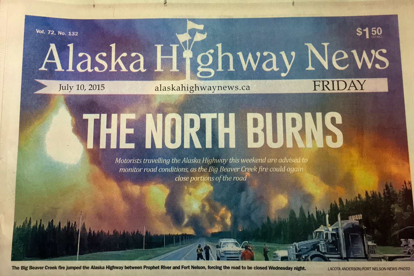
Local newspaper in Dawson Creek, reporting a major fire along the Alaska Highway the week I was there.
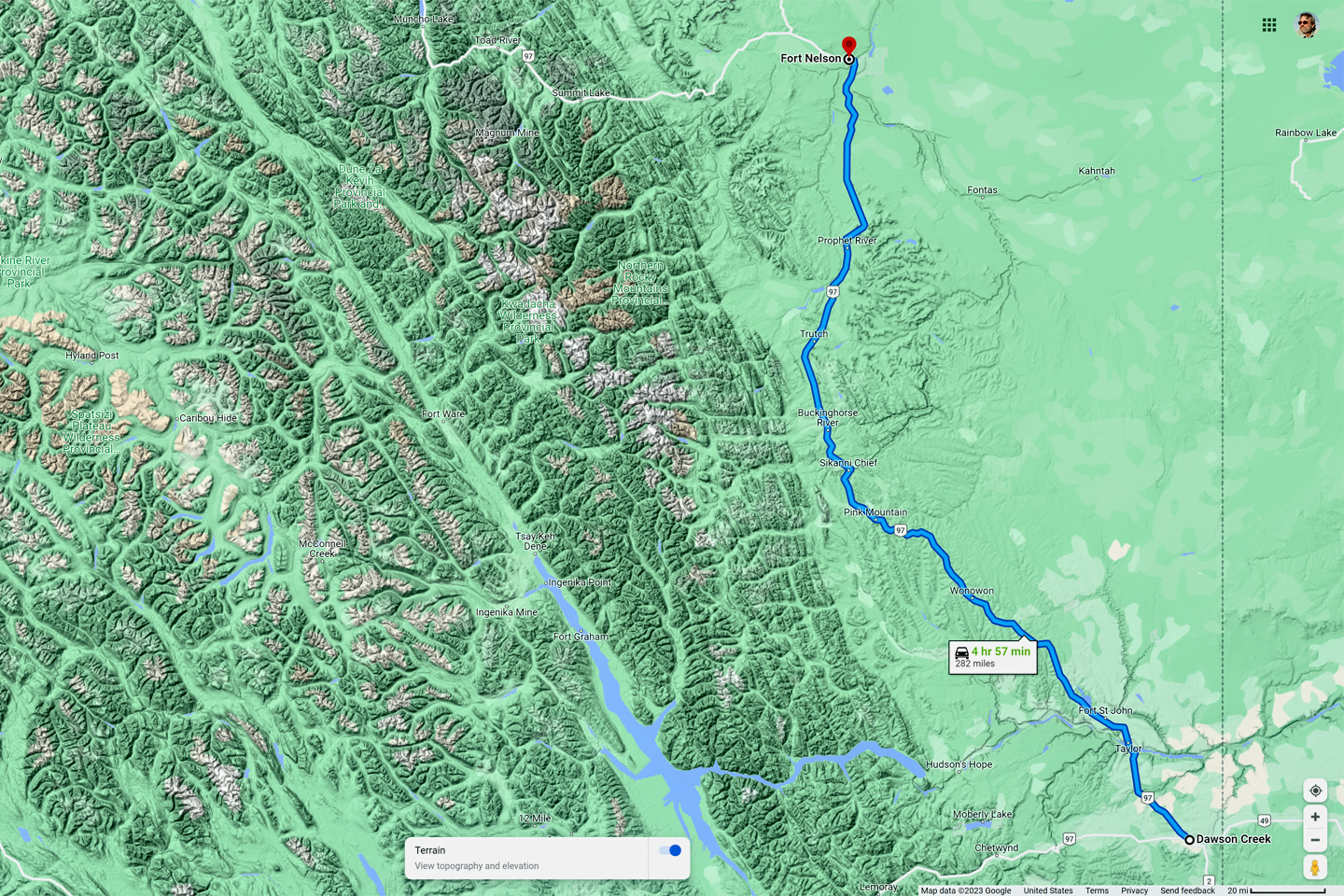
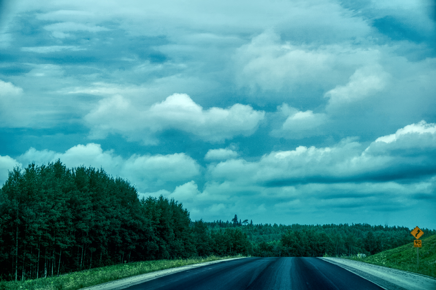
First leg of the Alaska Highway: Dawson Creek to Fort Nelson: 282 miles, approximately 6 hours
Checked out of my motel and had some breakfast. There was a classic car rally going on that weekend, with old cars from all over western Canada—muscle cars, ‘40’s coupes, all sorts of cool wheels. There was a guy from Alberta staying at my motel who had a pristine ’66 Mustang. I talked to him about it for a bit, bragging a little about the ’71 Camaro that’s been in my family since 1972, stock original and still running like a champ. “They don’t make ’em like that anymore, eh?” said the man from Alberta. I smiled at that; his subtle accent was like a Canadian cliché. Canada has always been its own country, but most of the differences between Canada and the U.S. are as subtle as that accent. They have most of the same chains—McDonald’s, A&W, Super 8 Motels, even H&R Block income tax services, but when you peel off the modern day façade, you know for certain that you’re not in Kansas anymore. Canadians are justifiably proud to be Canadians—never make the mistake of lumping them into a homogenized bucket with U.S. Americans.
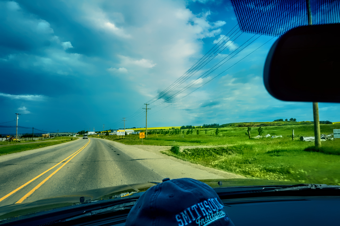
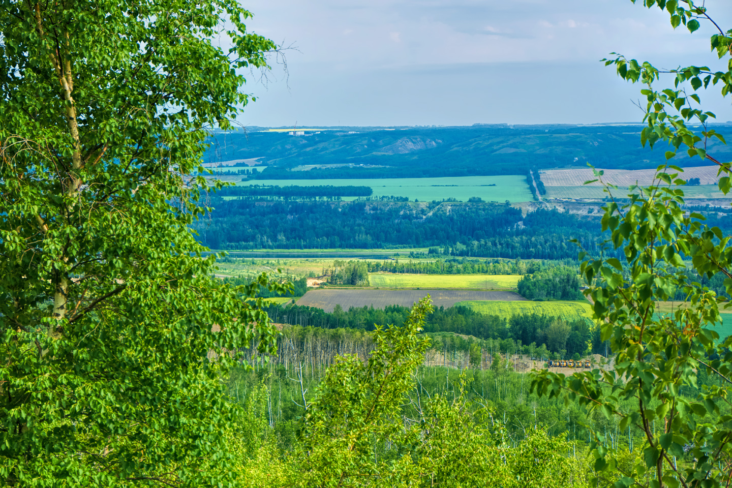
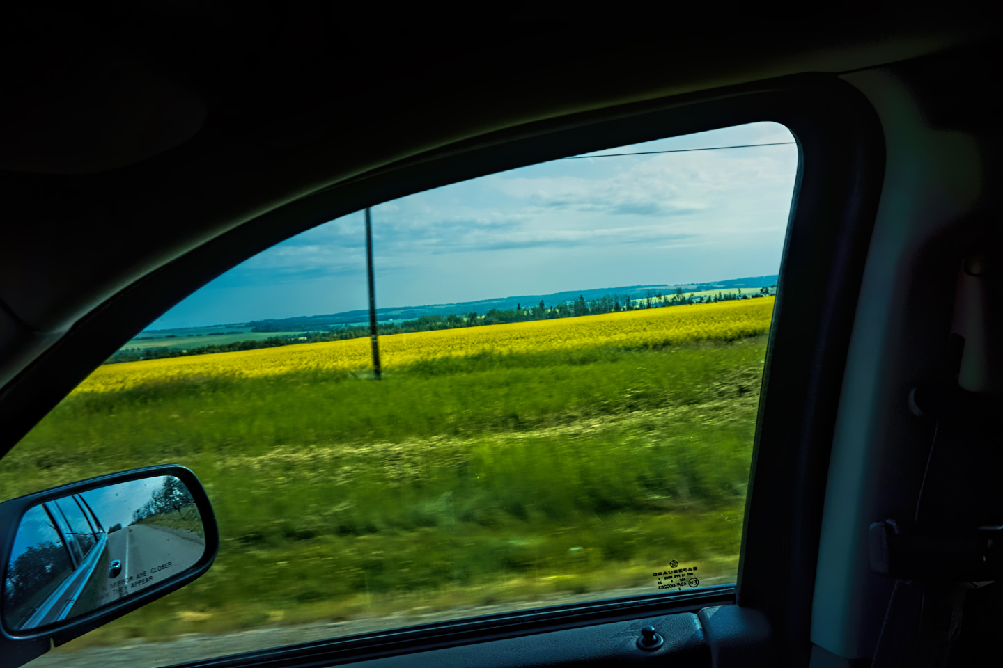
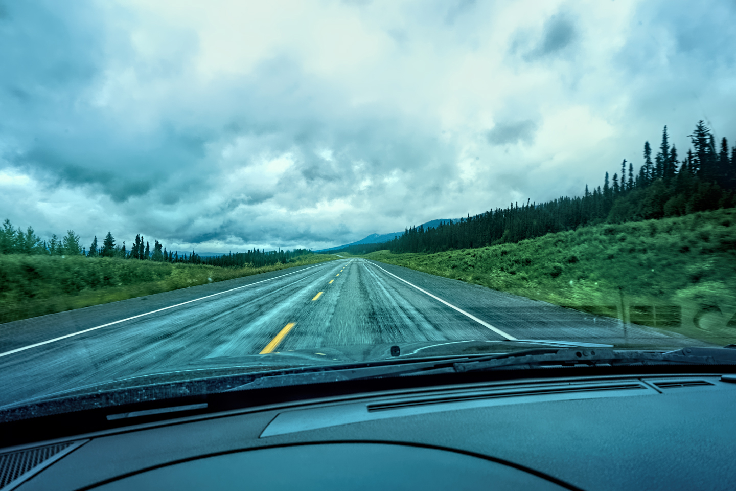
After breakfast, I was off, on the actual Alaska Highway! The first 50 mile stretch was basically an extension of Dawson Creek. Farms, bright yellow Canola fields, livestock. Most local vehicles on the road were huge super heavy duty four wheel drive dual axle pickups—apparently the ride of choice for local boys.
Past Fort St. John, the terrain got a lot wilder. No more towns, very few people, and very little traffic. Saw a few U.S. license plates, Michigan, California, Oregon, South Carolina; people that were obviously headed to Alaska!
At one spot where traffic was stopped dead for a construction delay, the car in front of me had Arizona plates, so I got out and chatted with the driver—a very cool old dude named Christopher, driving a Toyota pickup pulling a small trailer, just him and his friendly little dog. He was from Alaska, and wished he’d kept his Alaska license plates. He’d been a union electrician in Alaska, and was forced into mandatory retirement at age 55. Now he winters in Arizona, and returns to the north most every summer to work his gold claims in the Klondike. He actually had a portable dredge lashed to the top of his vehicle, and while we were chatting, he brought out a rock to show me.
“Okay,” I said, holding it in my hand. “What am I looking at?”
He laughed, and said, “It’s heavy, isn’t it?” I had to admit that it was. Then he showed me some shiny gold flecks in it, and explained that it would take effort to process, but it was nevertheless good ore. Delay ended, I passed him up, zoomed away, and he waved. He’s done the drive at least two dozen times. Said most people think it’s crazy to drive to Alaska, but the road is so much better now, there’s really nothing to it anymore. His first trip was back in 1972. It was a whole different story back then.
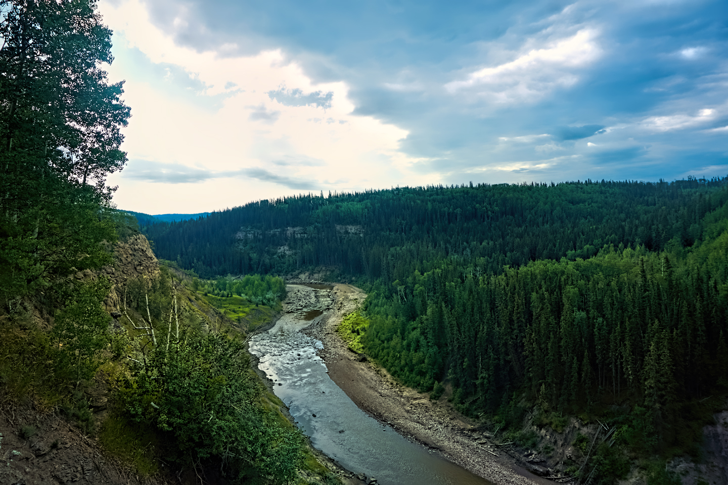
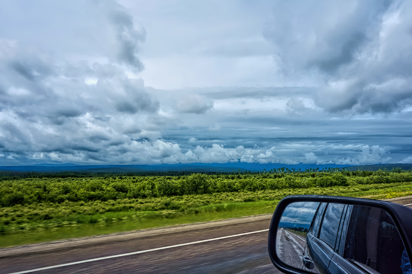
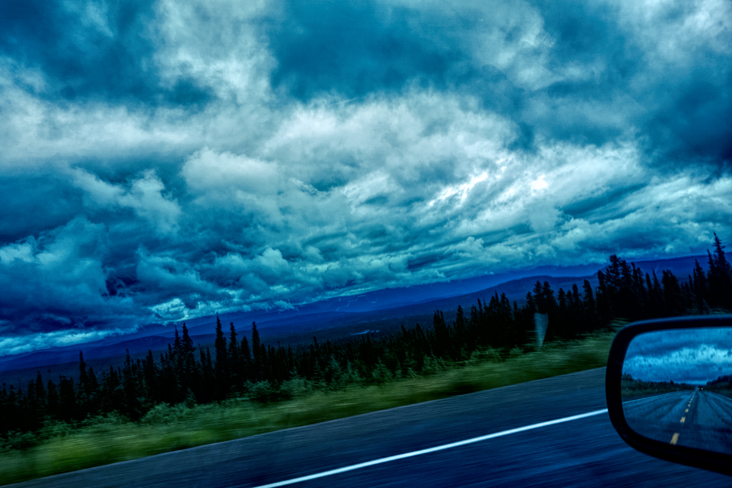
The road I saw was amazing, wide open vistas, but then the clouds lowered and it started raining steadily. Off to my left, the Rockies, as I headed ever further north. I was approaching the area south of Fort Nelson that had been actively burning two days earlier. When I started from Dawson, an electronic sign warned of poor visibility from km 395 to km 440 (something like that).
Adjusting to thinking in metric was tricky after all these years, and I was still a little slow, calculating the relative value of a “looney,” the Canadian Dollar, (though I got that one down pat pretty quickly!)
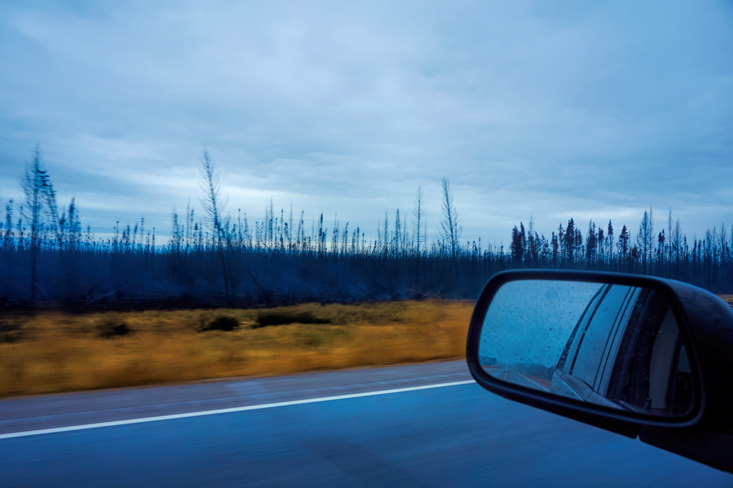
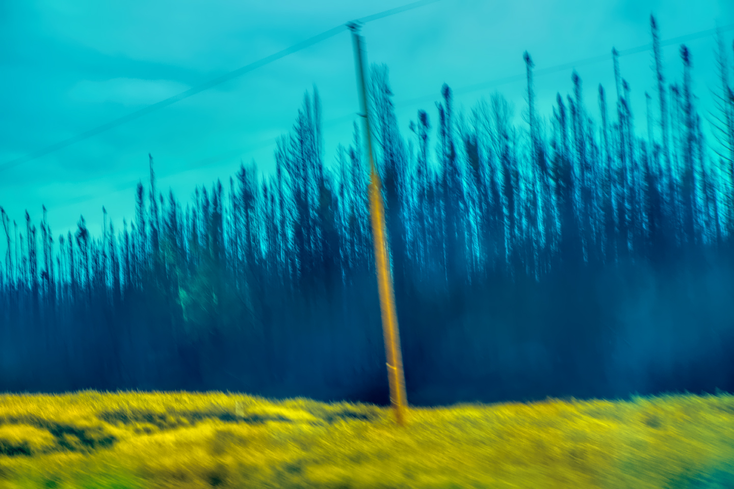
Burned forest land south of Fort Nelson, still smoldering
By the time I reached the burn area, the steady rain had pretty well extinguished the fire, but it was still smoldering and very smoky. A terrible thing, 8,000 hectares or more burned.
I arrived in Fort Nelson about 1:30. It seemed much too early to stop, especially when you figure it’s light until almost 10—but the next stretch of road crosses the Rockies, and my book said it takes 8 to 10 more hours to reach Watson Lake, Yukon—the next town of any size. That was definitely more than I wanted to attempt in one day.
I found a room, and spent the afternoon sitting around reading maps and guidebooks. Can’t so much as send a text here without being connected to Wi-Fi, and since my cheap room didn’t have it, I went to the local Tim Horton’s (a Canadian fast food chain) four different times just to use their network. Unfortunately, all it would allow me to do was send and receive texts—no email, no internet. I felt so disconnected! Also had trouble with both of my credit cards—Visa Fraud alerted on the fact that my cards were being used in Canada, so I had to verify transactions. I did so, but one of my cards was still getting declined everywhere. It was going to take a phone call to straighten that out, and calls were a dollar a minute, even with AT&T’s International “Passport” plan. (In this era of virtually unlimited free phone calls, that plan was like highway robbery!)
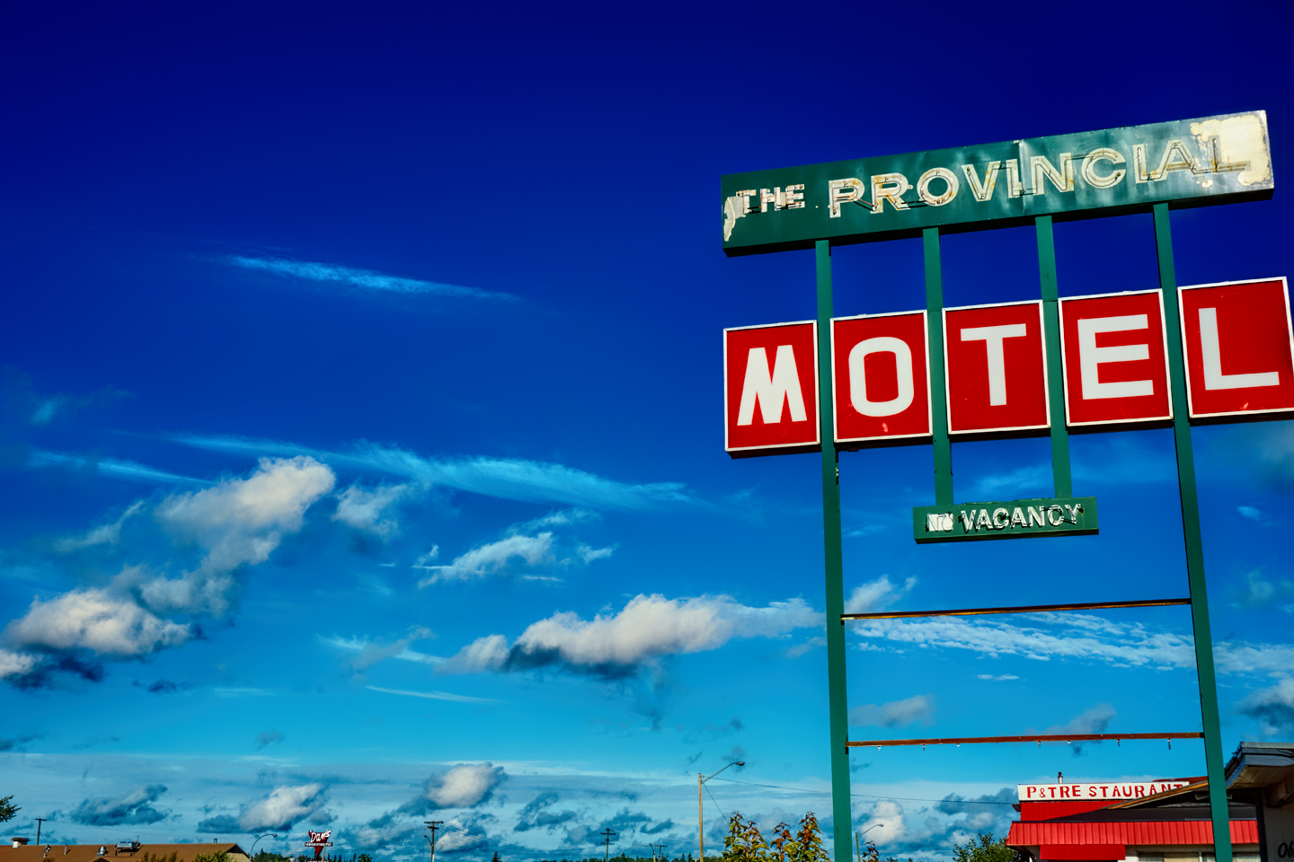
Fort Nelson was, I hate to say it, about as dull as dishwater from the perspective of a stranger passing through; cold, rainy, and grey, my motel long past its prime.
Late in the day, the rain stopped and the skies cleared completely. Hopefully a good omen for tomorrow, purported to be the most scenic part of the route, but slow going, with steep, hairpin curves. My kind of road, and something to look forward to!
Click any photo in this post to stop the slide shows and expand the images to full screen.
To return to the Prelude, or to continue reading the next part of the series, click the buttons below:
Some of the text and many of the photos in my Alaska Highway series first appeared on RoadTrip America’s website. A few years ago, I posted a detailed account of my entire 57 day, 13,000 mile “Mother of All Road Trips,” and RTA has kept that account available in their archive of Field Reports. If you’d like to read it, the link below will take you there:
MORE ABOUT THE ALASKA HIGHWAY:
This is an interactive Table of Contents. Click the pictures to open the pages.
Alaska Road Trip

The Alaska Highway: Prelude: The Road to Dawson Creek
Even if you start in Seattle, the closest American city, it’s still more than 800 miles to Dawson Creek, wending your way that much further north, so far north that there will be a noticeable change in the hours of daylight. It’s the latitude that distinguishes the north country, including every bit of Alaska. Dawson Creek is where it all begins.
<<CLICK to Read More>>

The Alaska Highway: Day 1: Dawson Creek to Fort Nelson
Past Fort St. John, the terrain got a lot wilder. No more towns, very few people, and very little traffic. Saw a few U.S. license plates, Michigan, California, Oregon, South Carolina; people that were obviously headed to Alaska!
<<CLICK to Read More>>

The Alaska Highway: Day 2: Fort Nelson to Whitehorse
Every time I rounded a curve in the road there was another stupendous vista; it was nothing short of astonishing! I was literally yipping out loud, and a couple of times I actually pulled over and stopped while I pounded on my chest to “re-start” my heart!
<<CLICK to Read More>>

The Alaska Highway: Day 3: Whitehorse to Beaver Creek
Approaching the mountains, I started pulling over with serious frequency, taking LOTS of photos! Mountains, clouds, lakes, flowers—I was pretty sure I must have died and gone to heaven, but I couldn’t for the life of me remember the fiery crash.
<<CLICK to Read More>>

The Alaska Highway: Day 4: Beaver Creek to Fairbanks
Delta Junction, the end of the Al-Can, was only 200 miles away, and the border? Twenty miles, maybe half an hour, and I was finally going to cross into Alaska! I’d been on the road more than three weeks, and in just half a day more, I’d be in Fairbanks.
<<CLICK to Read More>>

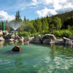
Chena Hot Springs: A Fairbanks Original
The Chena hot spring puts out steaming water at a temperature of 150 degrees, producing enough power to meet all the needs of the resort, as well as filling the hot springs pools used by the guests. In addition to the lodge and restaurant, they offer camping and horseback riding, and they have exhibits featuring sled dogs, greenhouses, ice sculptures, and geothermal energy.
<<CLICK to Read More>>

Two-Foot High Kick: World Eskimo Indian Olympics
Contestants take a running leap, then they make this crazy jackknife move, touch the ball suspended high above the floor with both feet, then come back down and stick the landing. If that sounds difficult? You have no idea.
<<CLICK to Read More>>

Dreaming of Denali
When I drove my Jeep to Alaska that first summer after I retired, my main goal, the single most important thing I wanted to do, was to see Denali, the biggest mountain in North America.
<<CLICK to Read More>>

Follow the Fireweed
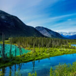
Visualize a summertime journey through that part of the world, a world filled with mountains and glaciers and boreal forests, ice blue rivers, turquoise lakes, and billowing clouds that fill the sky. Imagine your vision as a beautiful piece of music. The fundamental, underlying theme of that symphony would be a gently rising swell of perfect harmony, pinkish lavender in its hue.
<<CLICK to Read More>>

Kenai Fjords National Park: Seabirds, Glaciers, and Whales on the Wild Coast of Alaska
At this latitude, during the summer months, the sun stays low in the sky all day, and never really goes down. The traditional “golden hour” when the light is best for landscape photos is extended accordingly, and there are more opportunities for great shots than you’ll know what to do with.
<<CLICK to Read More>>

Kenai Fjords National Park: Exit Glacier: Up Close and Personal
Compared to the huge tidewater glaciers that flow directly into the sea along the coast of Kenai Fjords, Exit Glacier is just a baby–a baby that’s getting smaller every year–but it’s still big enough to permanently alter the landscape through which it passes.
<<CLICK to Read More>>

Alaska Road Trip: Driving Alaska’s Grand Circle
Most of the major towns in Alaska, as well as three of the state’s incredible National Parks, can all be reached by driving Alaska’s Grand Circle: a loop route beginning in Tok that utilizes all four segments (1082 miles) of Alaska’s Interstate Highway system.
<<CLICK to Read More>>

Alaska Road Trip: The Grand Circle: From Tok to Denali
There are no icy mountains looming on the horizon, and Fairbanks is nowhere near Alaska’s ruggedly beautiful coast. The true beauty in Alaska’s second city is found below the surface, in the spirit and resiliance of the people who make the place their home.
<<CLICK to Read More>>

Alaska Road Trip: The Grand Circle: Anchorage and the Kenai Peninsula
The massive ice field in the park’s wild interior has spawned dozens of glaciers which, over the course of many millenia, have carved the landscape into fjords so heart-breakingly beautiful, humpback whales swim all the way from Hawaii just to cavort in the deep blue water.

Alaska Road Trip: The Grand Circle: Wrangell-St. Elias National Park
So, just exactly how big is Wrangell-St. Elias National Park? You could combine Yellowstone with Yosemite, throw in the entire country of Switzerland, and you still wouldn’t match it in terms of size.
<<CLICK to Read More>>

Alaska Road Trip: Driving to the Top of the World
The rough dirt road gave way to a newly paved modern highway. This was it, the Top of the World, and right on cue, the haze peeled back, just enough to give me a glimpse of the beauty my friends assured me would be there…
<<CLICK to Read More>>

There’s nothing like a good road trip. Whether you’re flying solo or with your family, on a motorcycle or in an RV, across your state or across the country, the important thing is that you’re out there, away from your town, your work, your routine, meeting new people, seeing new sights, building the best kind of memories while living your life to the fullest.
Are you a veteran road tripper who loves grand vistas, or someone who’s never done it, but would love to try? Either way, you should consider making the Southwestern U.S. the scene of your own next adventure.
A few years ago I wrote a book about road trips in Arizona and New Mexico that’s a lot like this website, packed with interesting information, and illustrated with beautiful photographs. Check it out! You can find it on Amazon, and at all other major booksellers.

ALASKA ROAD TRIP:
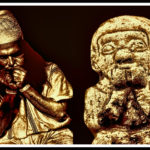
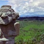
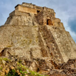
MEXICAN ROAD TRIP (IN THE LAND OF THE MAYA):
ARIZONA AND NEW MEXICO:
SOUTH AMERICA:
PHOTOGRAPHY:
Recent Comments