
DAY 26:
From: SAN MIGUEL DE ALLENDE
To: MONCLOVA
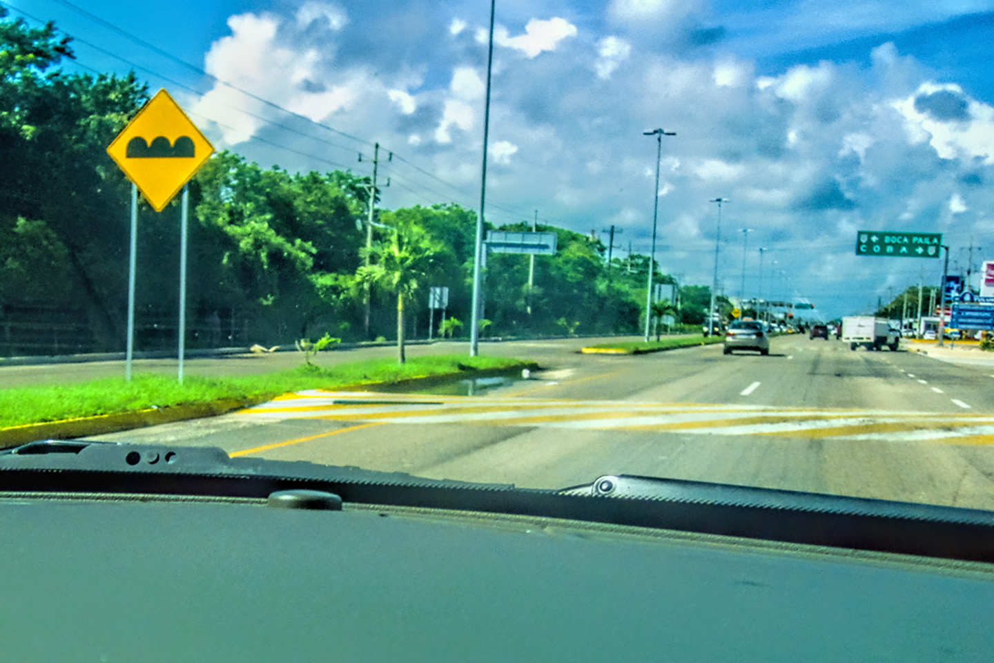
Day 26! It was a hard thing to believe, and a sad thing to contemplate, but we were about to come to the end of our epic adventure in Mexico. We spent the last three days celebrating the Dia de los Muertos in San Miguel de Allende, and that was the perfect Grand Finale, some of the best fun either of us had ever had. Now, unfortunately, the fun was over. Michael had a plane to catch in Austin, Texas, some 864 miles away, and we had just two days to get him there. Any way you slice it, 864 miles is a long drive, and when you’re in Mexico for most of that distance, it’s even longer! I’d spent some time studying the route we planned to take, and I’d talked to some of the expats in San Miguel, people who had made the drive themselves, and recently. The consensus of opinion pointed to Piedras Negras as the best crossing point. Downtown Nuevo Laredo, which is where we crossed the border on our way south, is considered one of the worst crossing points, largely because the town of Nuevo Laredo, as well as MX-85, the highway connecting Nuevo Laredo to Monterrey, that whole area has been the scene of countless violent incidents, including gun battles, robberies, kidnappings, and carjackings; so many, in fact, that the local press refers to MX-85 as the “Highway of Death.” When we passed that way on Day 1 of our road trip, we had no idea that we were driving into a war zone, and we obviously got lucky, because we slid through without any trouble. I saw no reason to tempt the fates a second time, even though going through Piedras Negras meant driving 75 miles out of our way, adding an extra hour and a half to our already long drive.
We checked out of the San Ramon right after an early breakfast. We were already on the highway out of town: all we had to do was turn left instead of right at the entrance to the hotel, and then keep driving north until sundown. It was a good road all the way: MX-51 and MX-110 for the first 23 miles, and then MX-57 all the rest of the way to the border. We drove almost the exact same route on our way south at the beginning of the trip, so we knew what to expect.
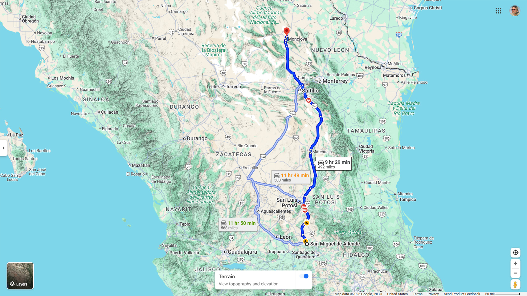
San Miguel de Allende to Monclova
I figured that if we kept up a steady pace for the next ten hours, we could get as far as Monclova, some 500 miles away. That would leave us just 150 miles more to the border, and from the border to Austin another couple of hundred, most of that on a fast Interstate freeway. Barring any delays, I expected to arrive in the Texas capital with time to spare.
“What do you think?” I asked Mike, as we drove away from the San Ramon.
“I think I’m going to miss Mexico,” he replied. “This has been the best road trip ever.”
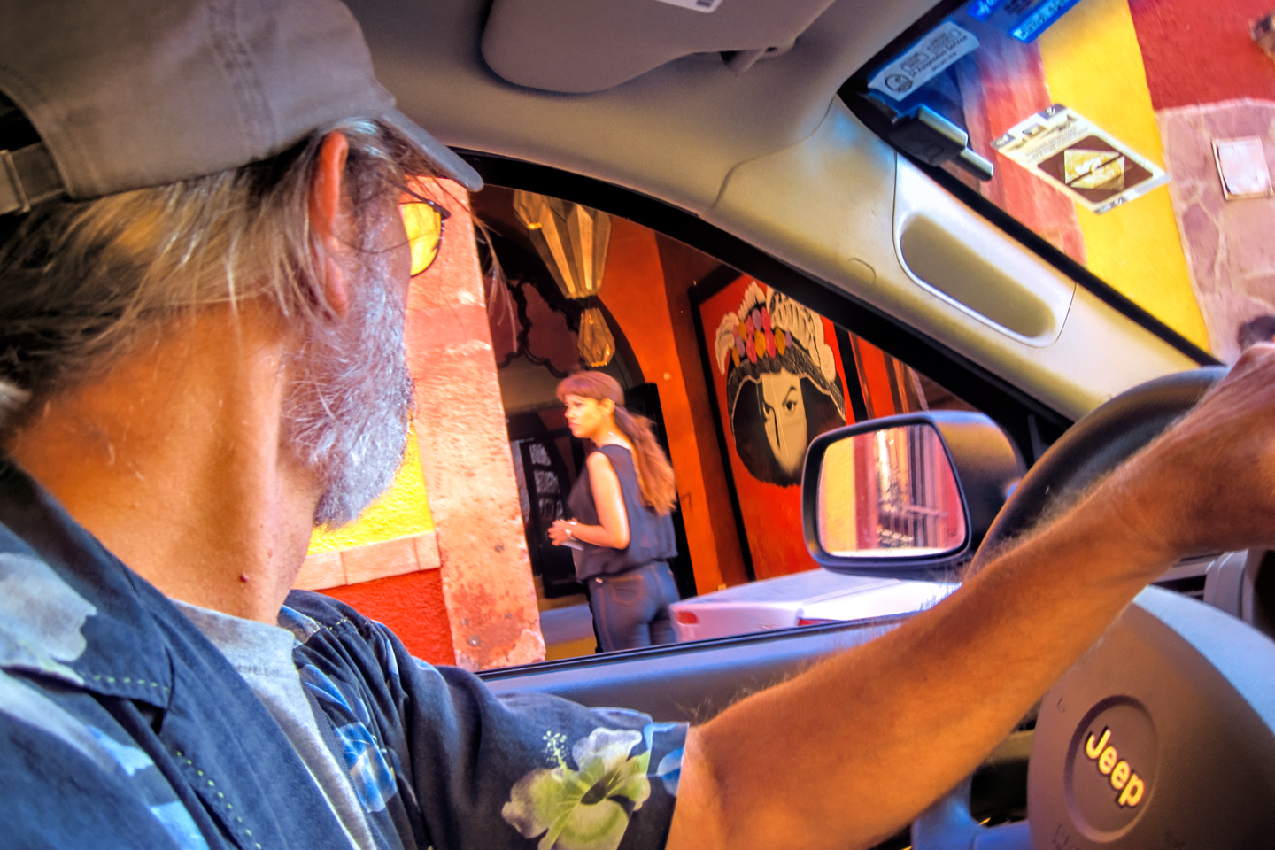
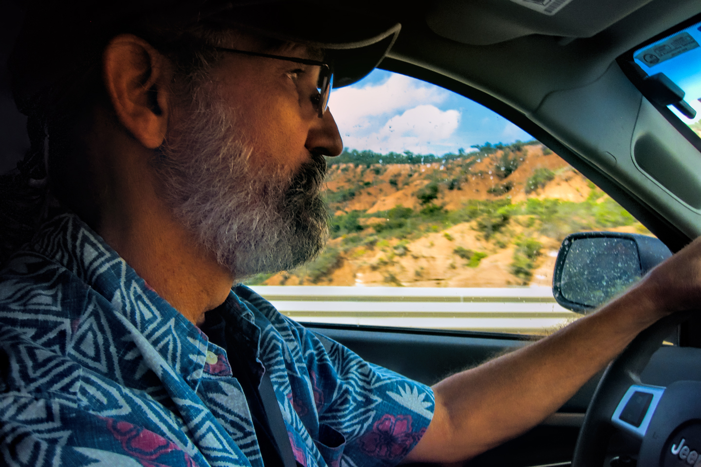
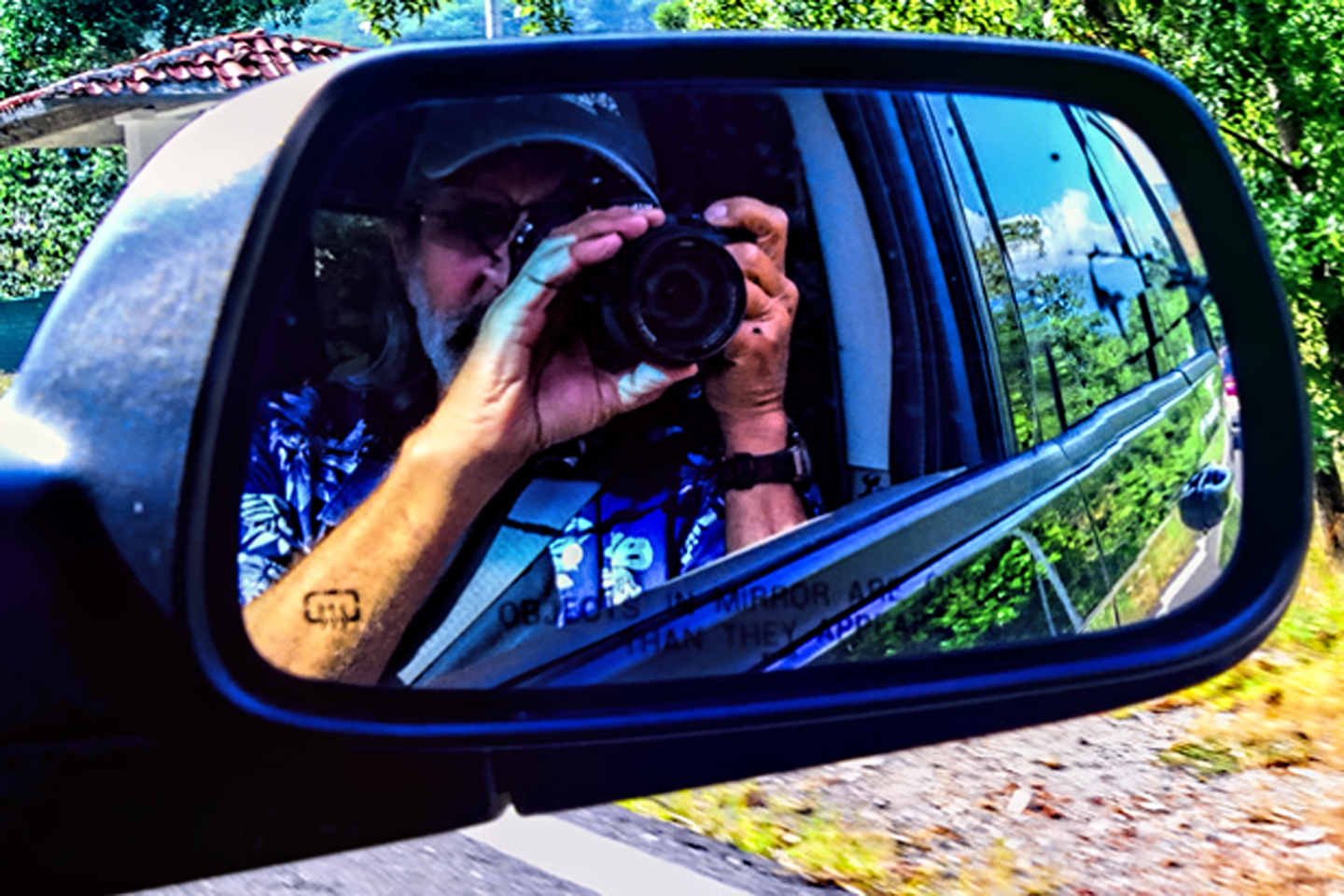
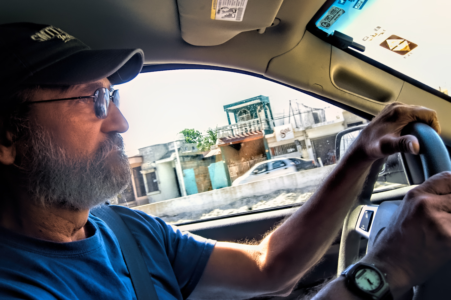
“Find us some good tunes,” I said, handing him my phone, which was plugged in to the Jeep’s stereo. I had more than 9,000 songs in my music library, so choosing the soundtrack running in the background was an enjoyable part of our daily routine. As I recall it, Michael usually chose well. He and I had been friends since all the way back in high school. (Sixty years!) That gave us a lot of shared experience, and many mutual acquaintances to talk about on our long drive north that day, cruising along on a wave of bittersweet nostalgia.
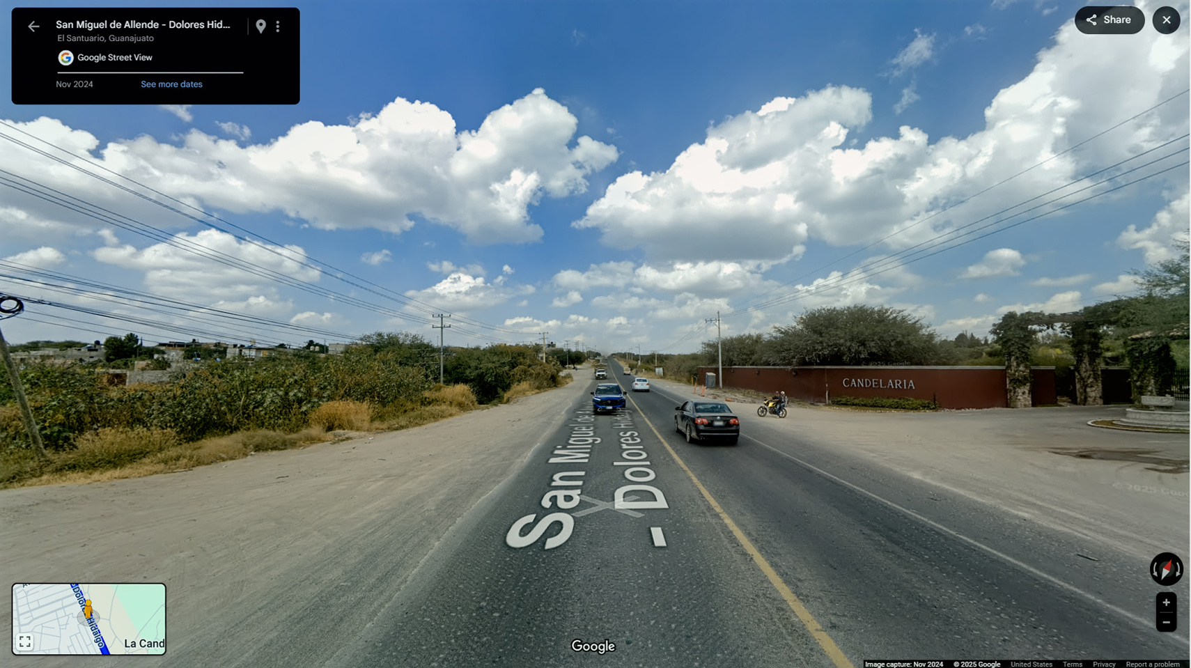
Leaving San Miguel de Allende, headed north on MX-51
That first 23 miles, on the smaller roads, was flat and straight, with no surprises. Thinking back on the thousands of miles we’d already driven on Mexican highways, the rest of the trip was going to be a snooze. Once we hit MX-57, we would be on the best road available, all the way to the border, with no navigation required. The only potential wrinkle was the state of Coahuila, one of several that were classified as dangerous for travelers during the time of our trip. We figured we’d be safe enough as long as we stuck to the toll road, and traveled only during daylight hours.
Note that in 2024, Coahuila was upgraded from Level 3 (Reconsider Travel) to Level 2 (Exercise Increased Caution), as the security situation for travelers has actually improved during the most recent reporting periods.
RUN FOR THE BORDER
on MX 57
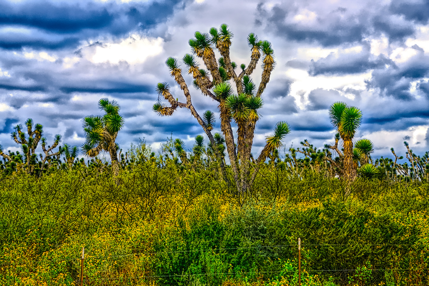
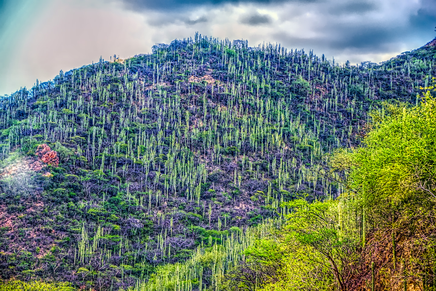
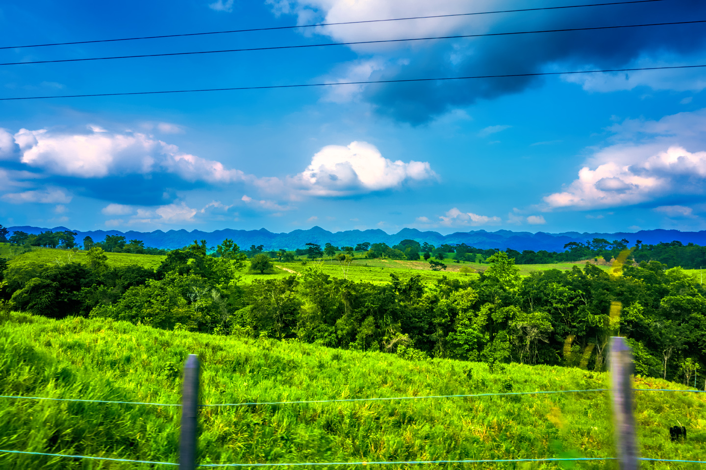
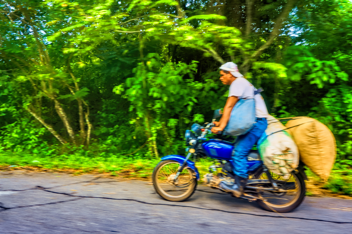
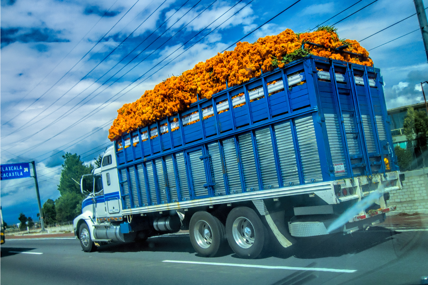
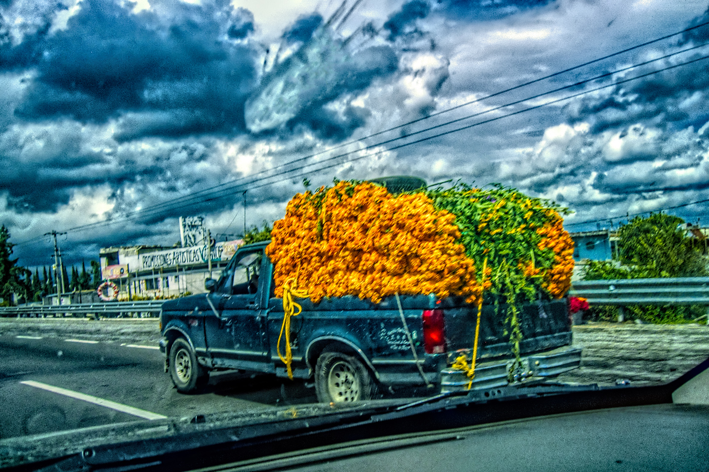
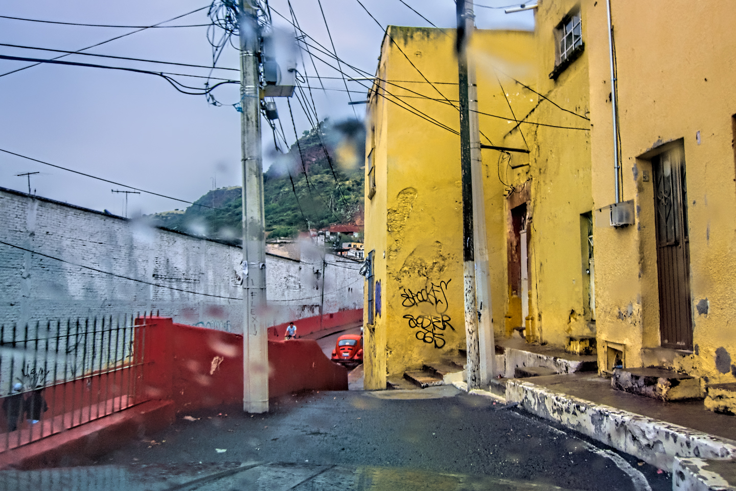
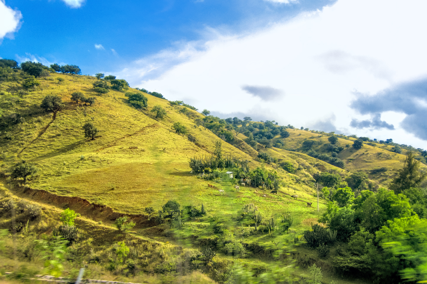
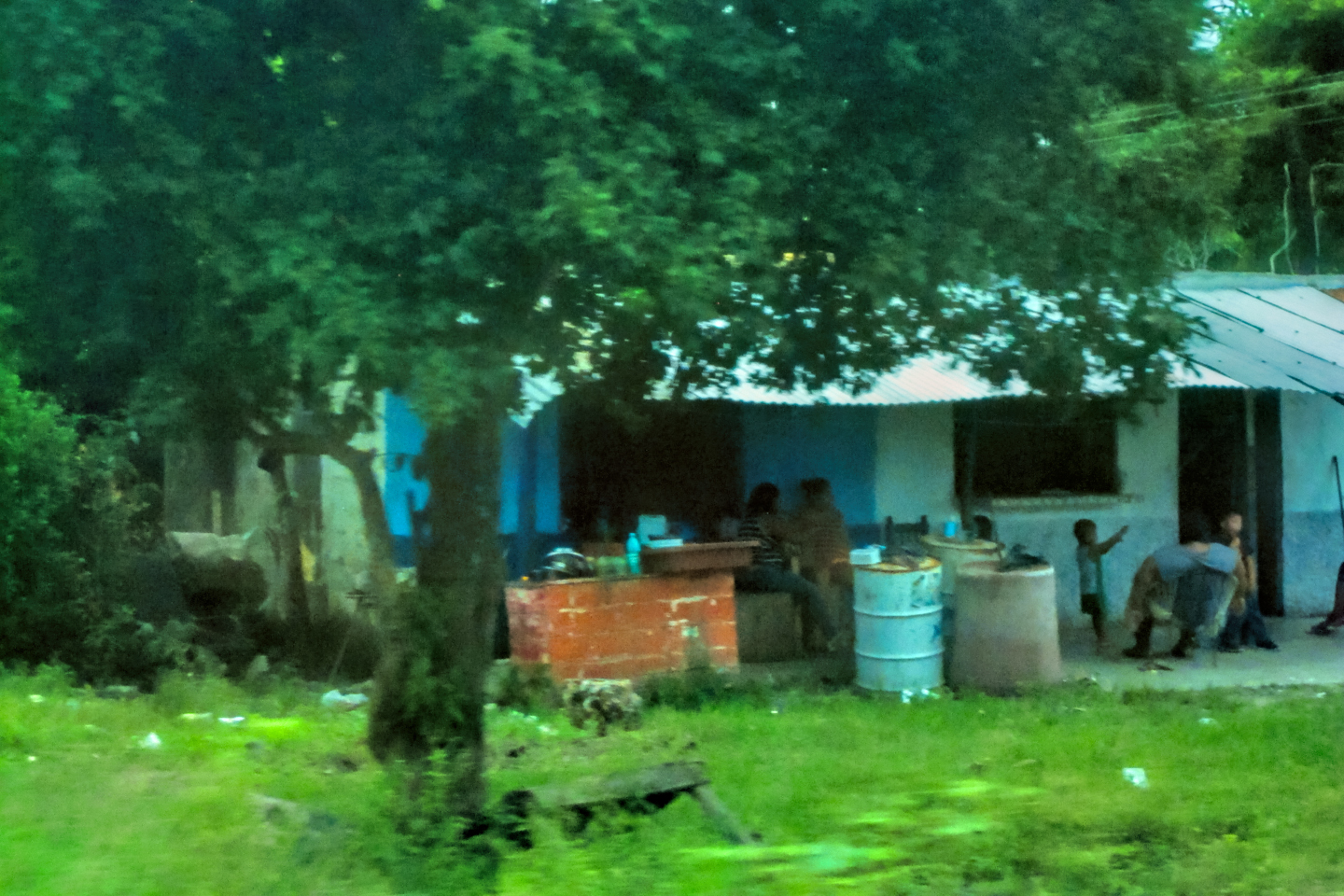
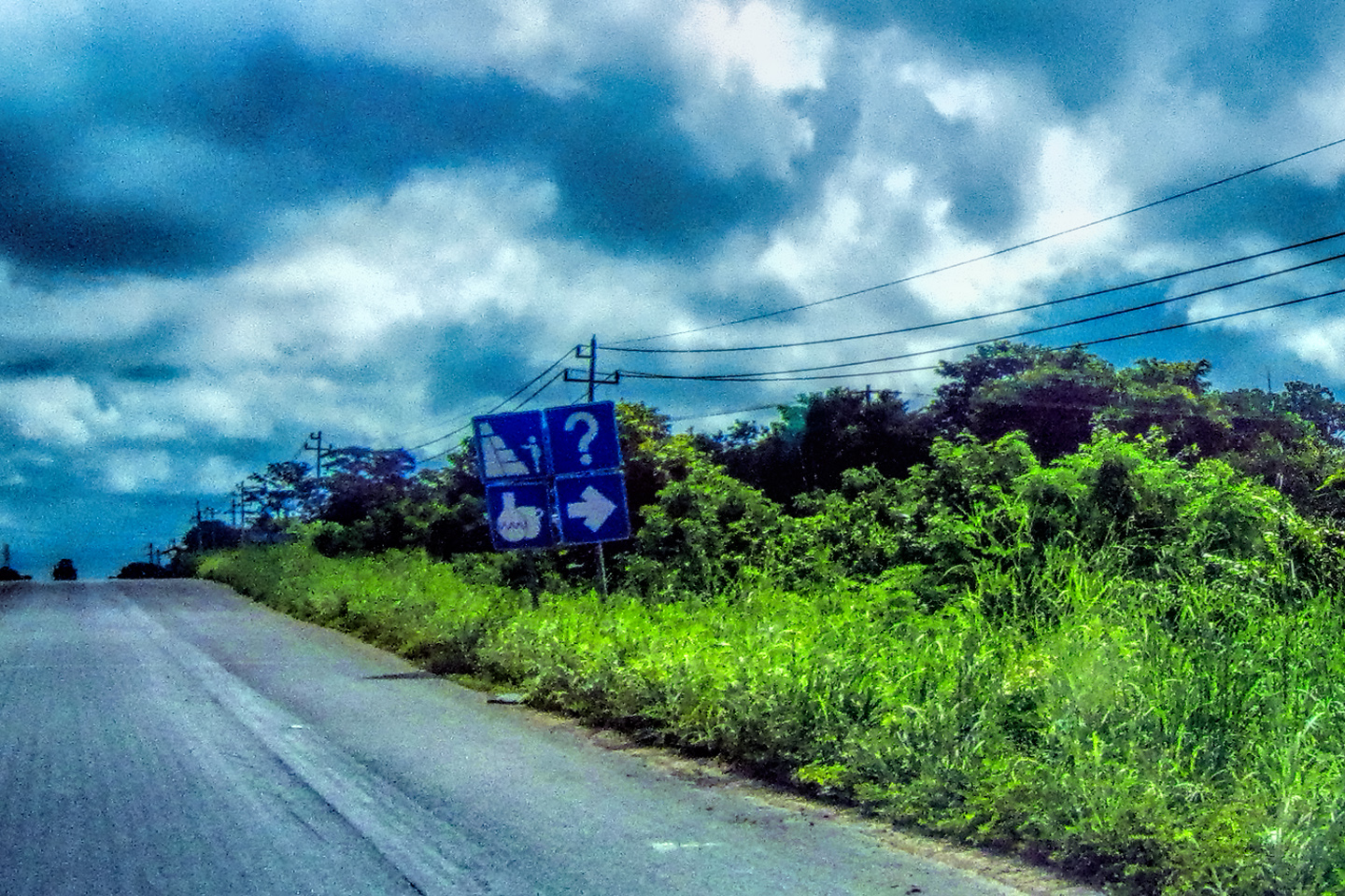
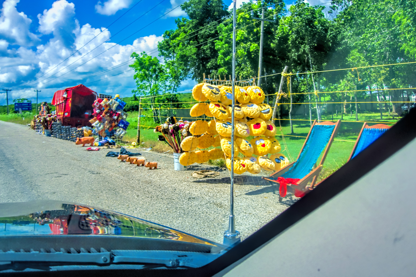
San Luis Potosi, the first major town, was 100 miles north of San Miguel de Allende, and to get there, we traveled through the Bajio Region, in the eastern portion of the state of Guanajuato. The Bajio is a high altitude basin within the Mexican Plateau, known for agriculture and a mild climate. The terrain was high plains and rolling hills, with swaths of irrigated farmland producing crops like corn and beans.

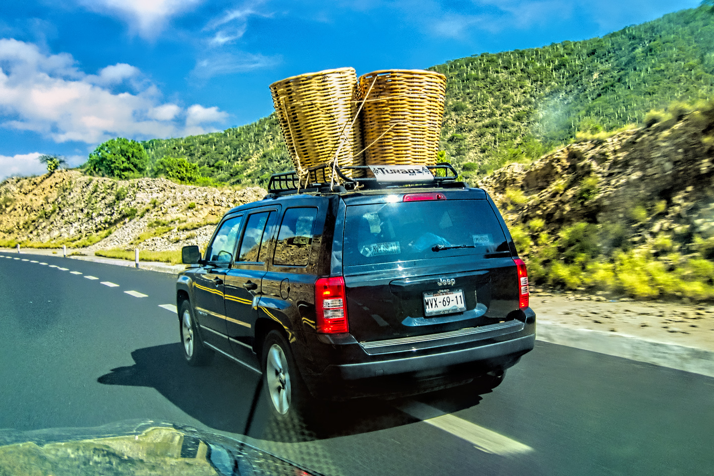
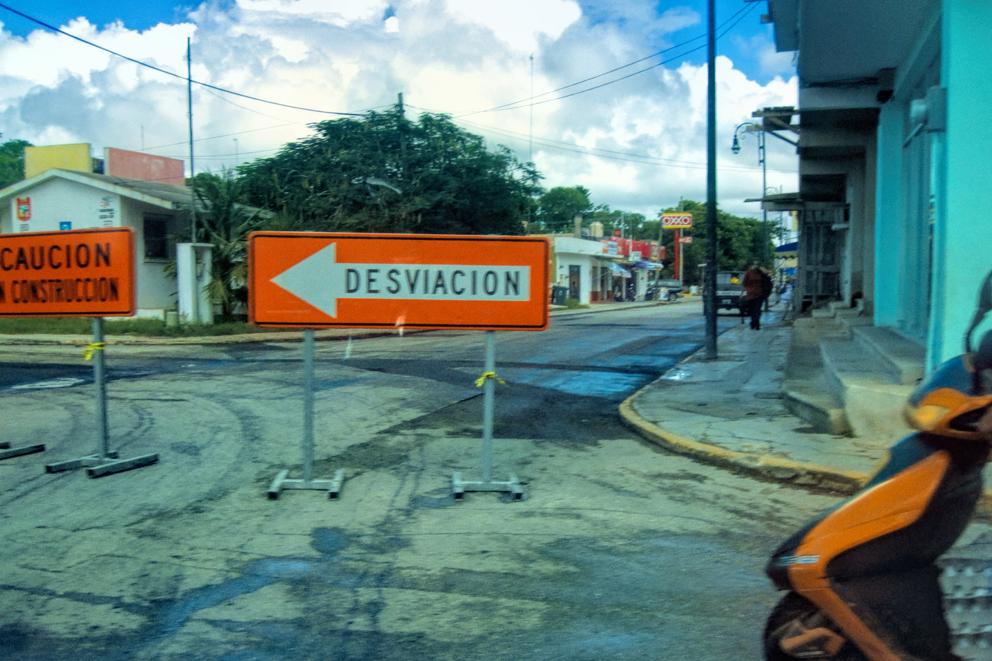
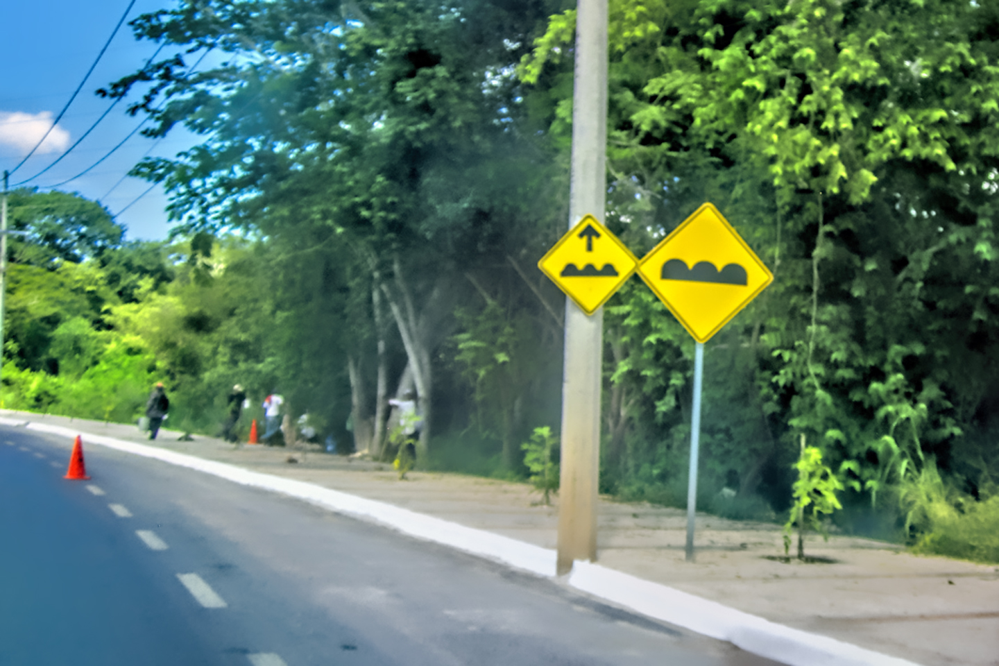
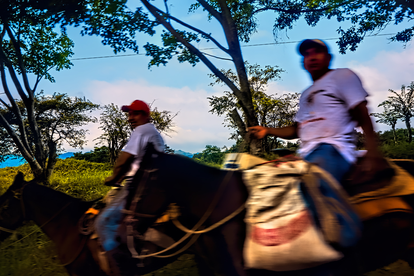
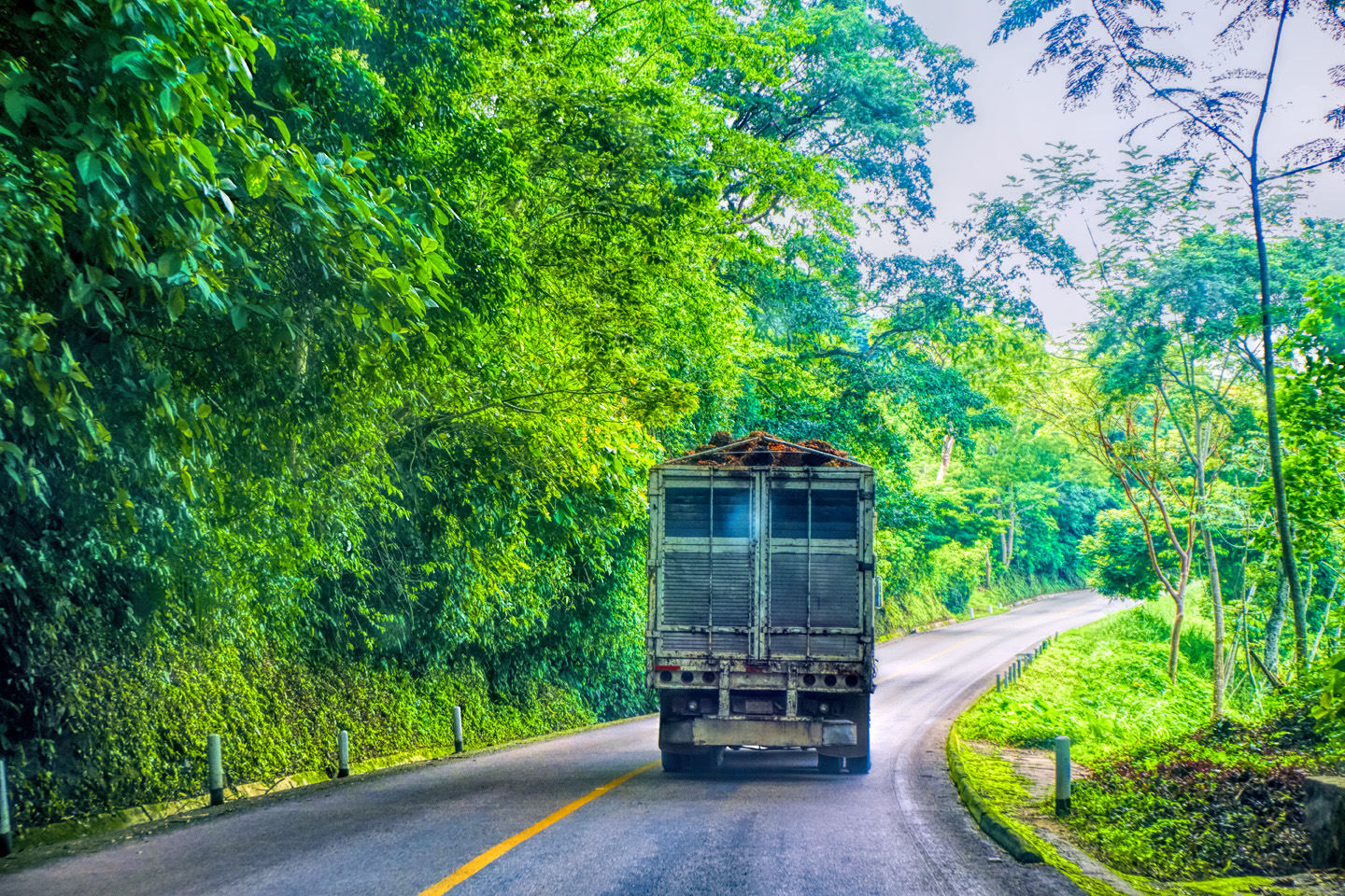
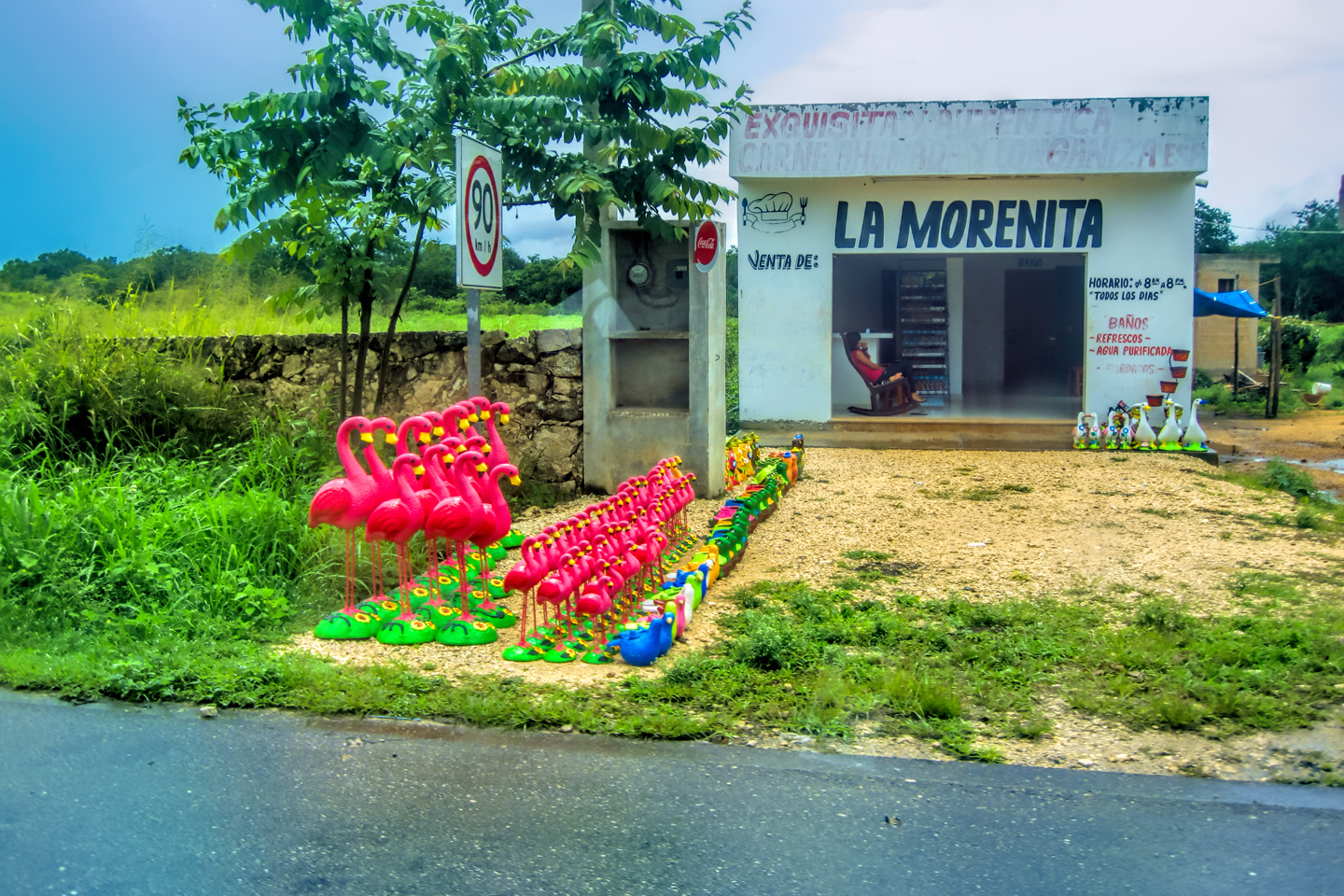
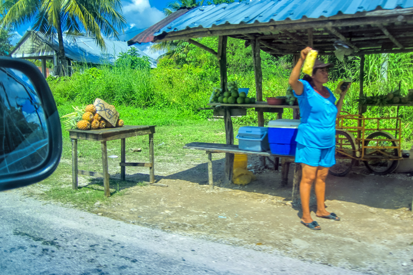
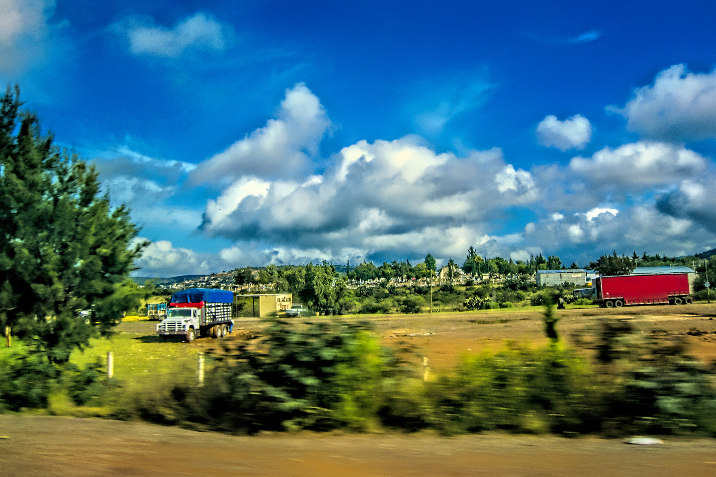
Scenes along the road leaving San Miguel de Allende

Scenes along MX 57 from San Miguel to San Luis Potosi
I was sorry that we weren’t able to stop in San Luis Potosi. The city has an important place in Mexico’s history, and it’s loaded with Colonial era architecture. There has always been significant wealth here, in the form of one of the world’s largest silver deposits. “Potosi” was appended to the city’s name out of hope that the mines would rival the mountain of silver discovered by the conquistadores in Potosi, Bolivia. They never matched Bolivia–but they’ve been digging up silver and gold by the boatload for centuries.

City of San Luis Potosi-Panorama


In any case, we sailed right past the city on the toll road, and what little we saw of the place was off in the distance. The city and its surroundings appear to be relatively flat, despite an average elevation of around 6,000 feet. As we drove north toward Matehuala, the next major town along the way, the terrain rose a little in altitude, and the surrounding area, mostly grasslands, started getting a little drier.

Cathedral of the Immaculate Conception, Matehuala: Started in 1898, and never quite finished.
Matehuala was another major city where all we did was drive-by and wave. It was more of a mile marker for our purpose, a funny name on the road signs. One of the more interesting things I discovered about the place was that name, thought to be derived from an Indian war cry which, roughly translated, means: “Don’t come here!”
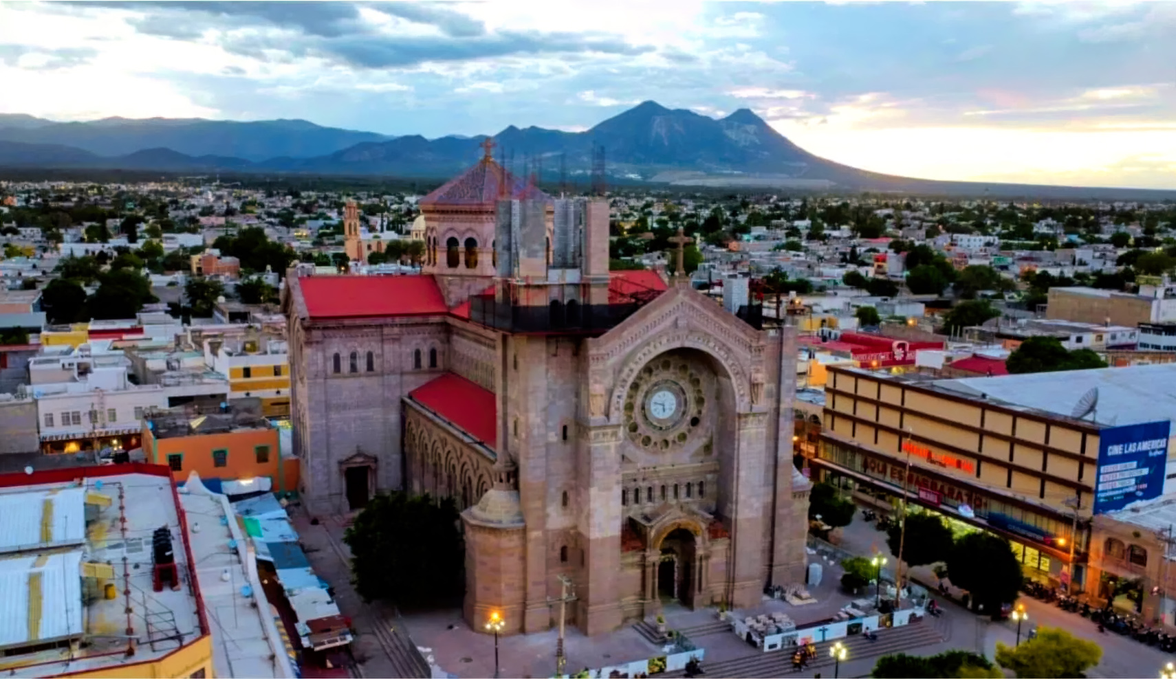
Matehuala, and the Cathedral of the Immaculate Conception
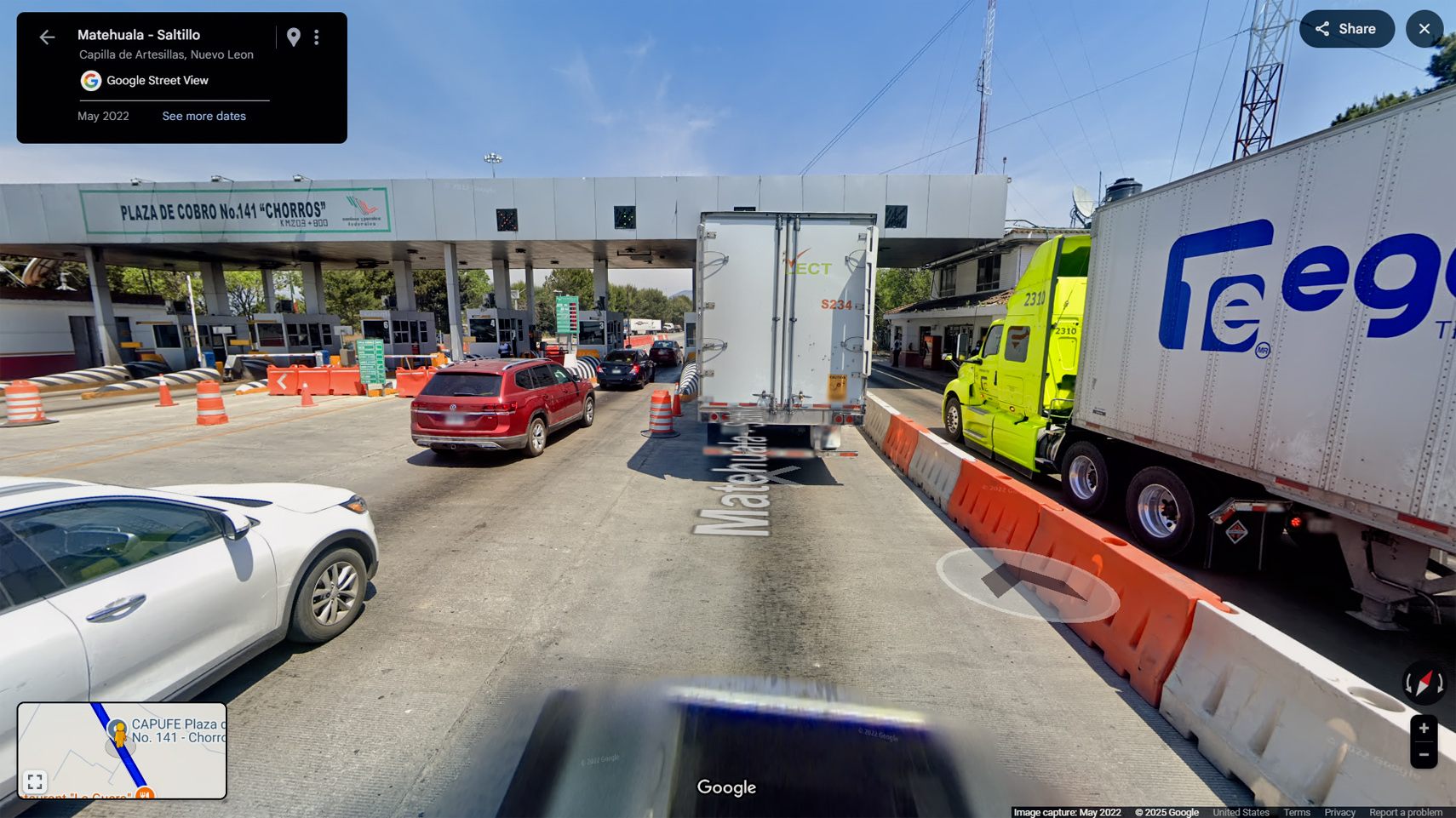
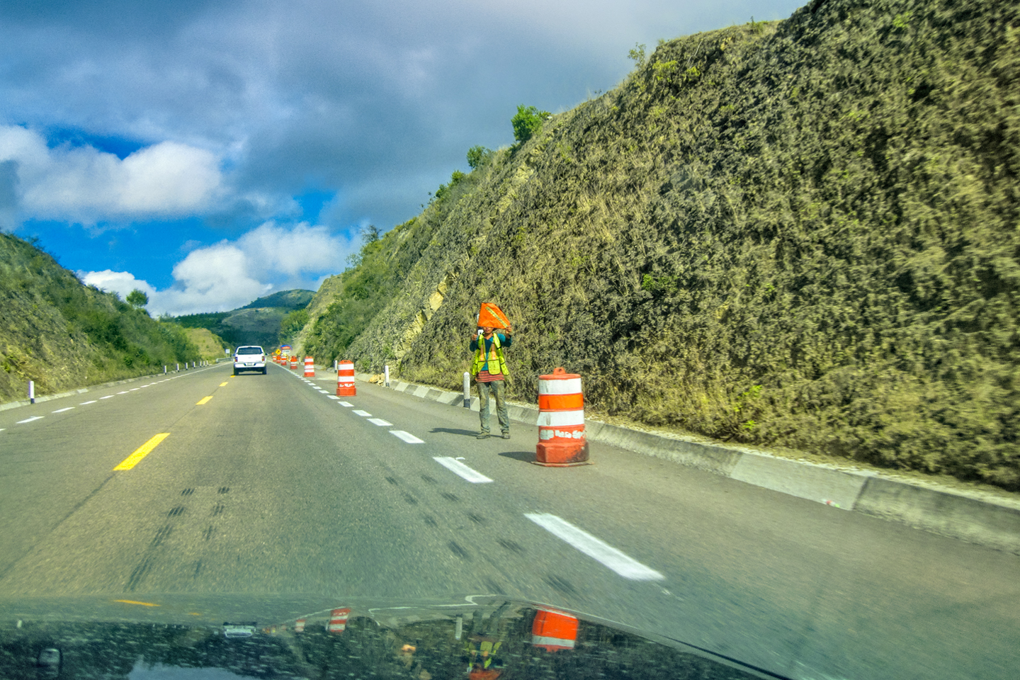
Toll Plaza north of Matehuala
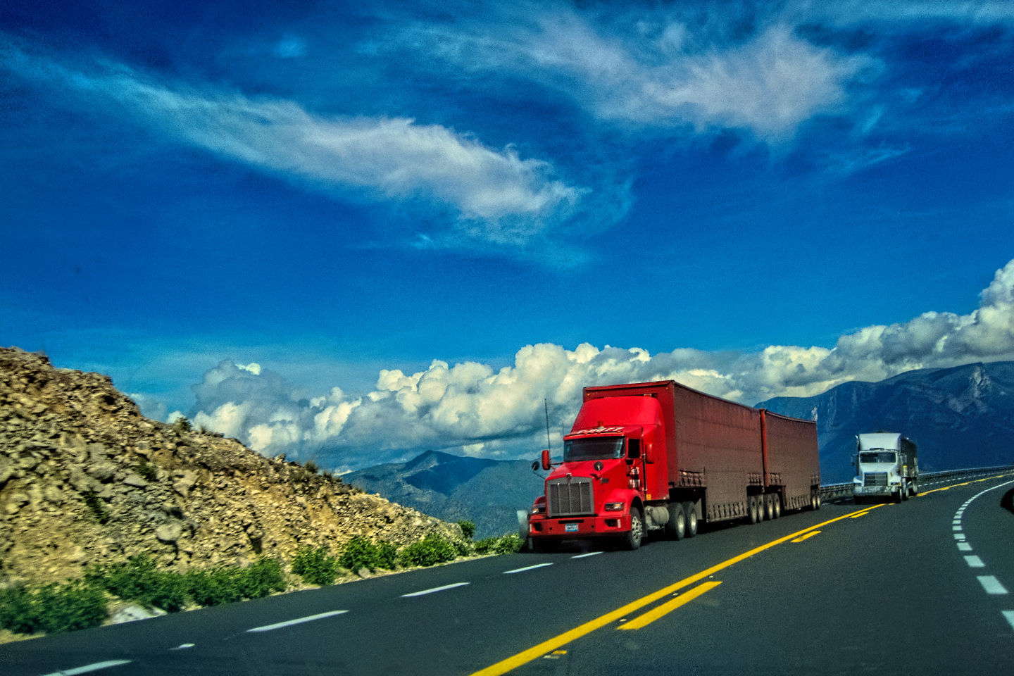
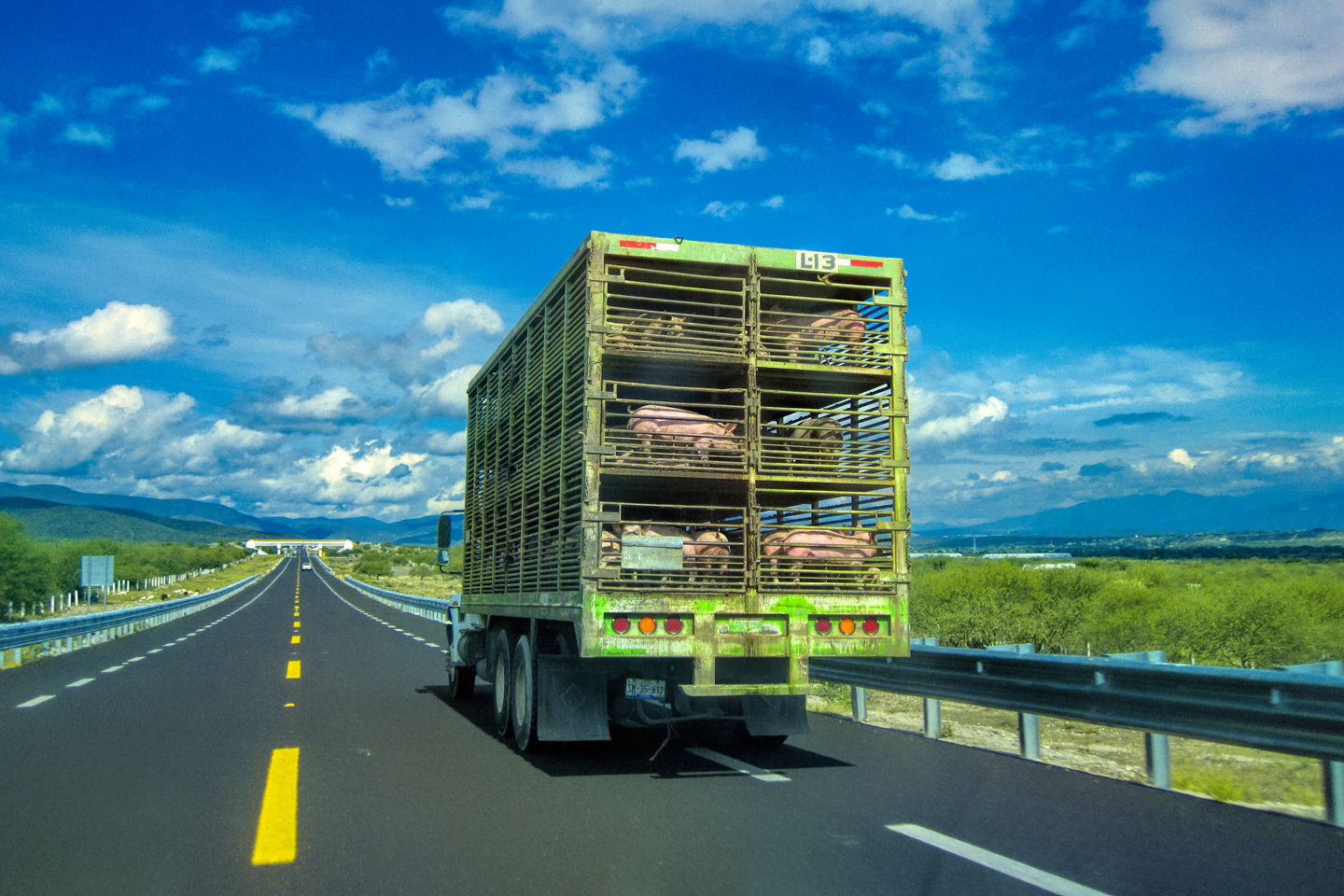
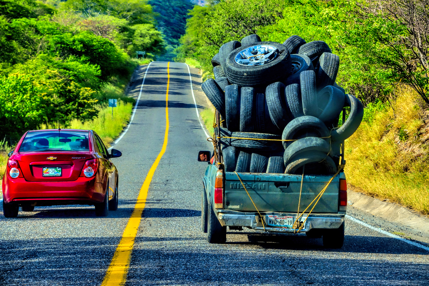
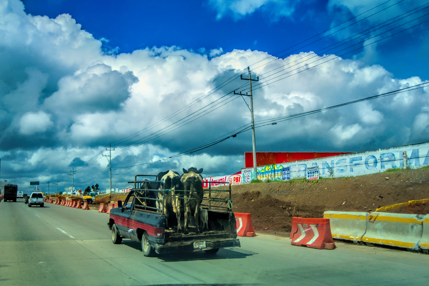
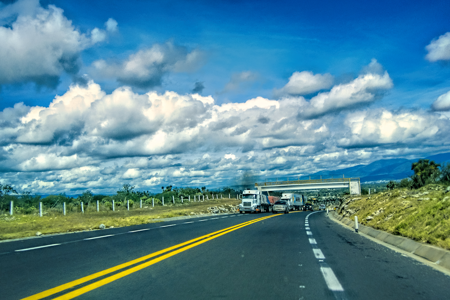
The drive north from Matehuala was more of a snooze than a cruise. Straight, flat roads, not much in the way of scenery, and sparsely populated, little going on to break up the monotony. On the plus side, we were really chewing up the miles!
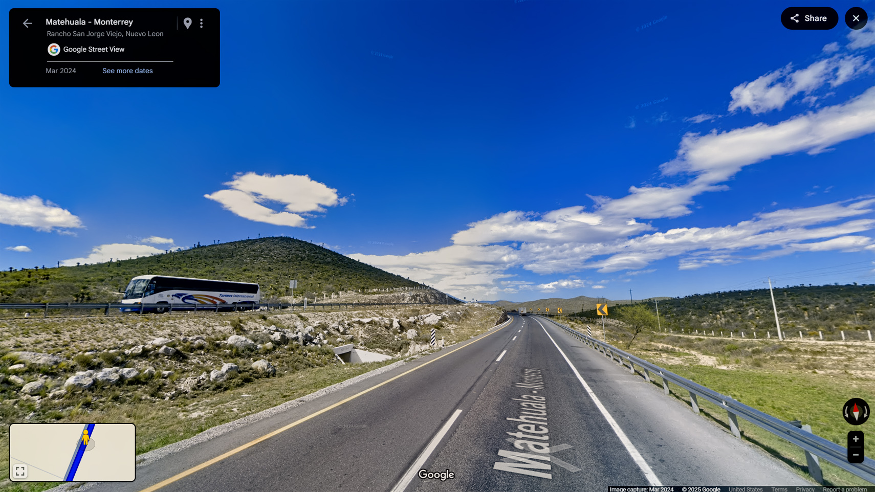

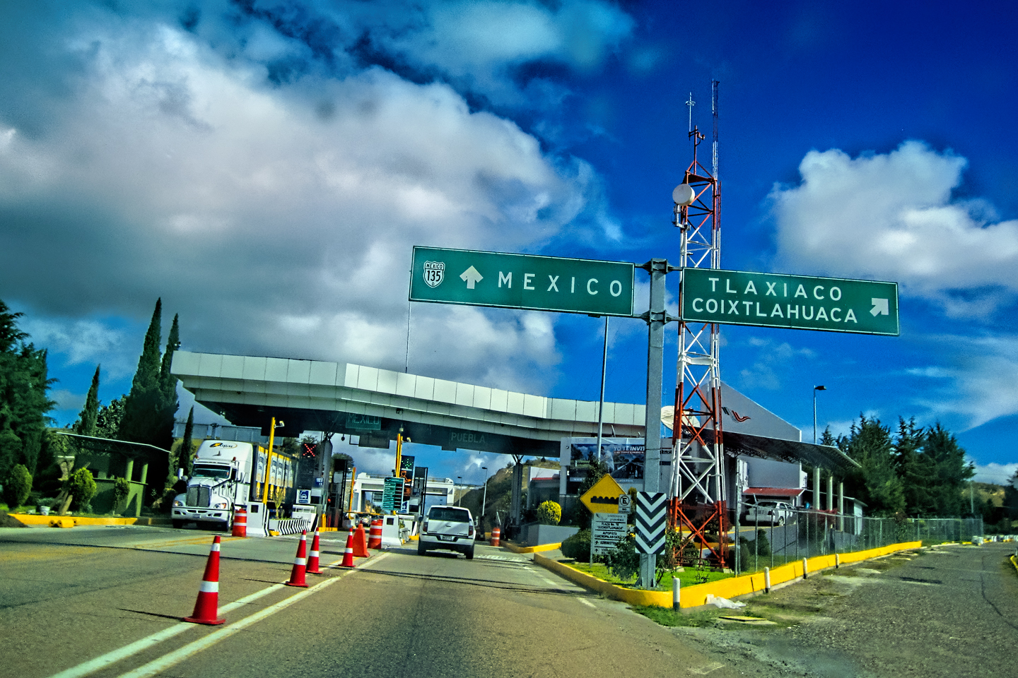
Saltillo was the next major way point, yet another interesting city we couldn’t take time to visit. On the second day of our road trip, we’d driven the same roads that we drove today. We’d passed through Saltillo, but, just like today, we were in too much of a hurry to stop. Saltillo was our crossroads: if we turned east here, we’d be retracing our previous route to the border at Nuevo Laredo (along the Highway of Death). This time, we knew better, so we turned north, toward Monclova, and Piedras Negras.
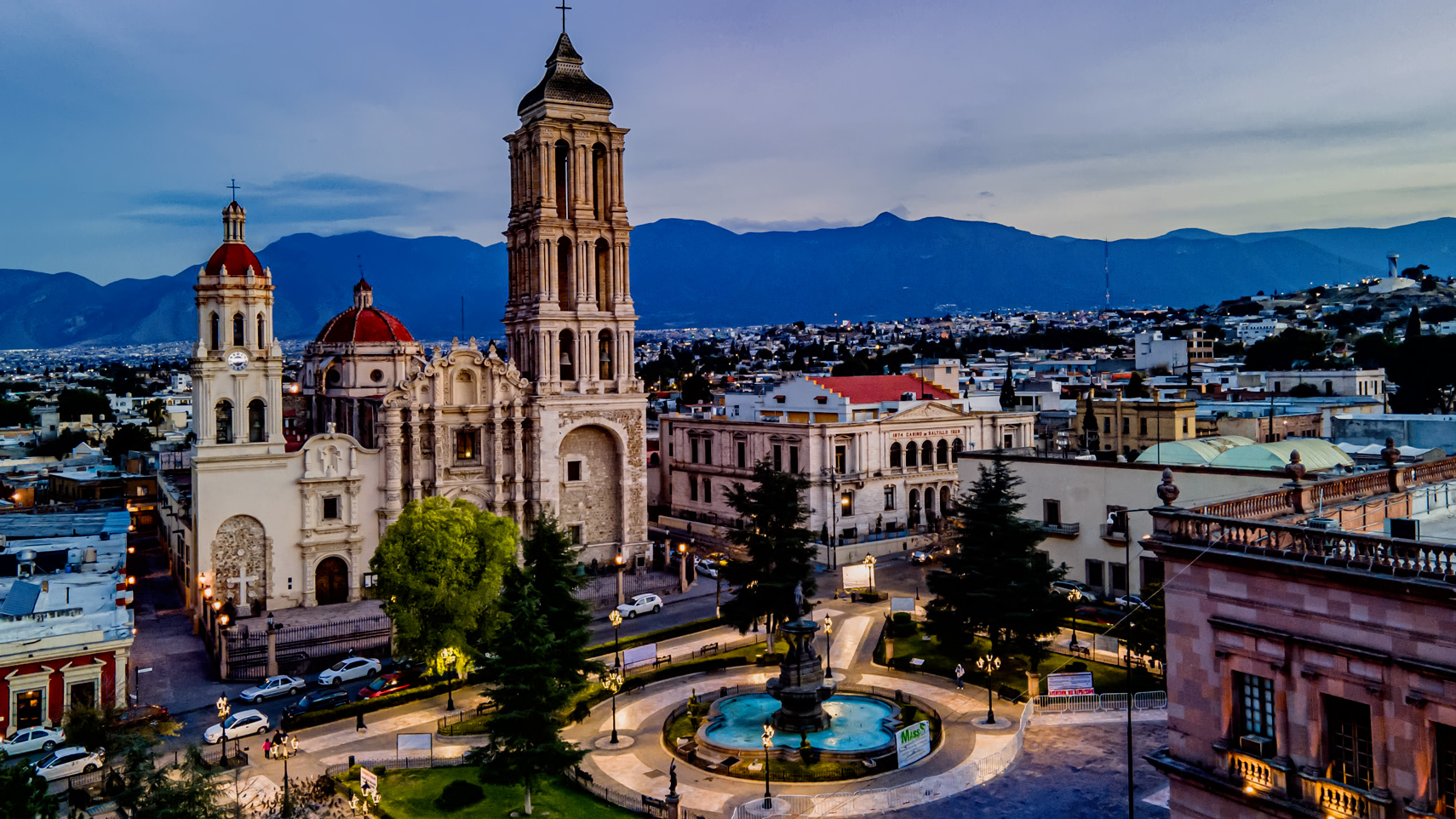
Cathedral of Saltillo

Leaving Saltillo
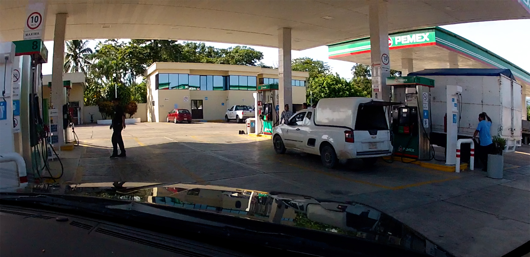
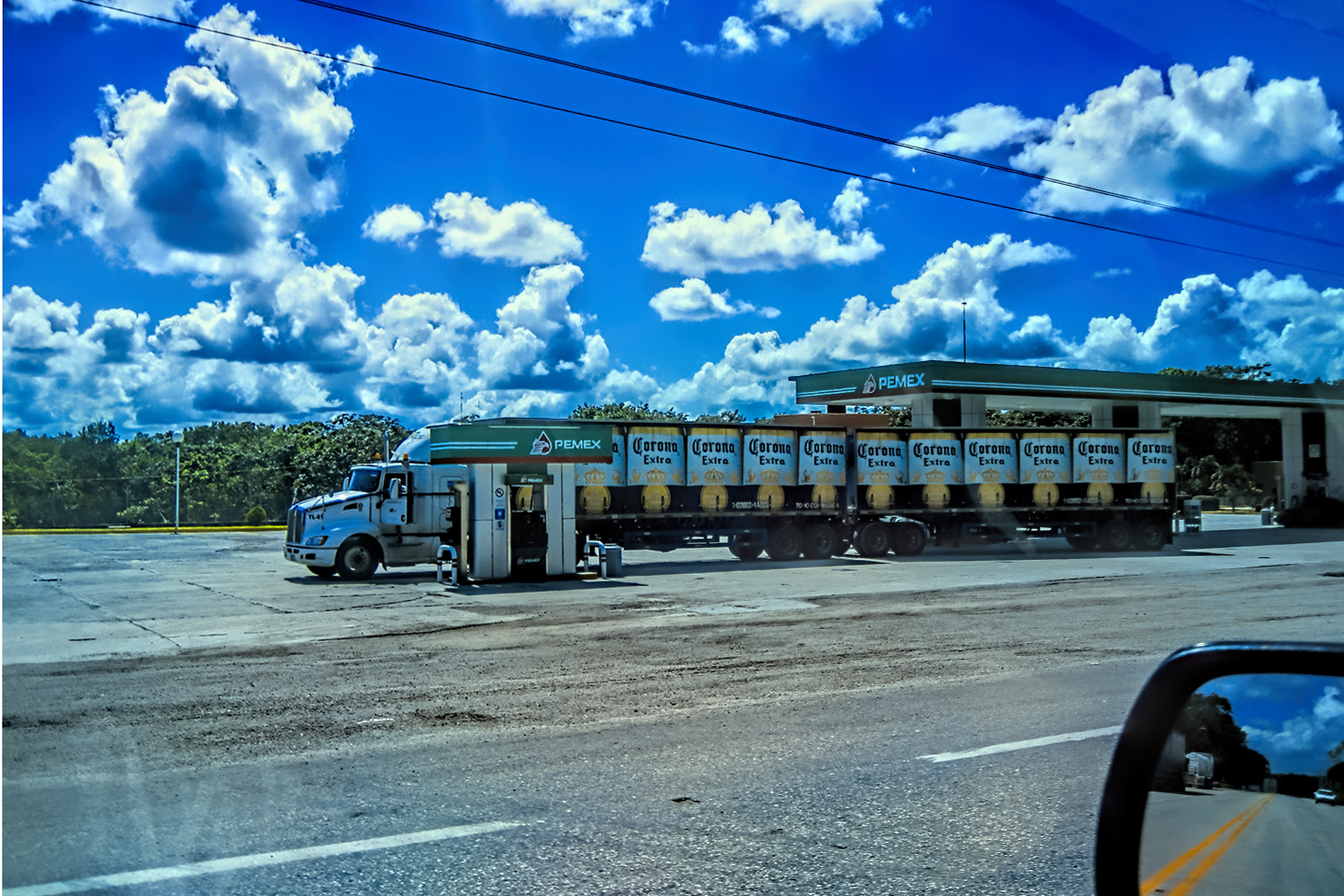
GAS SCAM
It was on the highway north of Saltillo that we got snookered one last time. I stopped for fuel at a Pemex station, and I was descended upon by a pair of service station attendants working as a team. One of them took my order, to “llenalo con magna,” (fill it with regular).
He walked back to the pumps, while his partner distracted me, aggressively trying to sell me some sort of miracle fuel additive. Moments later, the first guy came back, sheepishly admitting to having made a mistake. He’d started to fill my tank with Premium, rather than Regular, and he claimed he’d already dispensed 200 Pesos worth before he realized his error. Did I want to fill it the rest of the way with Premium, or should he finish it off with Regular, and add the two totals together? I had him finish with Regular, and when my tank was full, he combined the two sales, and charged me for 22 gallons of gas. The only problem with that? I have an 18 gallon tank. It was obvious that most, if not all of that 200 Pesos showing on the Premium pump dial was left over from the previous customer’s transaction. By distracting me, they made sure I didn’t notice that the pump had NOT been reset back to zero.
This is an EXTREMELY common scam at Mexican gas stations, and this was the first and only time on our road trip that I got taken by it. The attendant “forgets” to reset the dials on the pump after the previous customer leaves. If you don’t notice, he’ll simply start fueling. Your total is inflated by the amount of the previous transaction, and the attendant slyly pockets the overcharge.
There is no self-service at Mexican gas stations. All fuel is dispensed by attendants who will also clean your windows, check your tire pressure, and perform other small services, a throwback to the good old days, before do-it-all-yourself became the standard. The honest pump jockeys will always point out the zeroes on the pump dial before they start fueling. “Cero cero!” (Zero zero!) is a phrase you hear almost every time you stop for gas; proof of the attendant’s good character.
MONCLOVA

Monclova, Coahuila, steel smelters smoking away
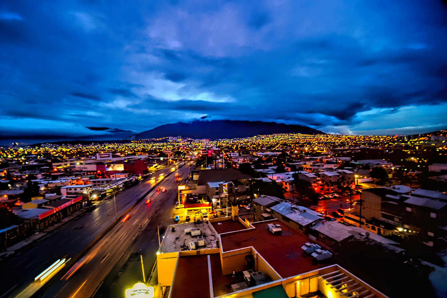
We rolled into Monclova in late afternoon, and decided we’d gone far enough for the day. In 2015, the entire Estado of Coahuila was under a Level 3 advisory, so we were compelled to stick with the basic rules: don’t deviate from the main road, (MX-57), and don’t drive at night. The closer we got to the border, the more important those rules became. Monclova is an older Mexican City, but the infrastructure at its core is mostly modern and relatively new. We ended up at a boring, business class chain hotel called the Fiesta Inn, which set us back $82.00–the most expensive hotel charge on our entire month long road trip. Monclova is the steel capital of Mexico, so it’s the site of major industry that befouls the atmosphere even as it enriches the community.
FIESTA INN
Centrally located, the Fiesta Inn had all the amenities you might expect at a business class hotel in the U.S. The clientele was mostly men in suits with Houston accents, transacting a bit of trans-national business that most probably involved steel. (Duh!) All Mike and I needed was a place to sleep, and the Fiesta Inn served that purpose well enough!
<<CLICK HERE>> for more information on Fiesta Inn

We were 150 miles from the border, which was three hours of driving, barring any delays. I was excited to be going home, and, at the same time, sad to be leaving Mexico. I would have loved to have kept traveling longer, but Michael had to get back, and when you got down to it, so did I. Since my retirement, a few short months earlier, I’d spent more time in my Jeep than I had in my house. It was past time for me to settle down and get my life organized.
We had some sort of mediocre Mexican food at the hotel, and crashed early, resting up for the last big push!
DAY 27:
From: MONCLOVA
To: PIEDRAS NEGRAS, EAGLE PASS, AND AUSTIN
THE END OF THE ADVENTURE!
We hit the road right after breakfast. I was a little nervous about the border crossing, remembering the old days, when it was not uncommon for U.S. Customs to literally dismantle a vehicle returning from an extended stay in Mexico, seeking spaces where contraband might be hidden. Being respectable (ahem) Senior Citizens, we weren’t likely to raise any red flags, and we most certainly weren’t carrying anything that might get us in trouble. Even so, I was looking forward to putting the border behind us.
Our last 150 miles was pure Chihuahuan desert, part of the largest desert in North America. It Isn’t as lush as the Sonoran desert in Arizona, but it’s still familiar terrain. The arid landscapes of the western U.S. will always feel like home to me.

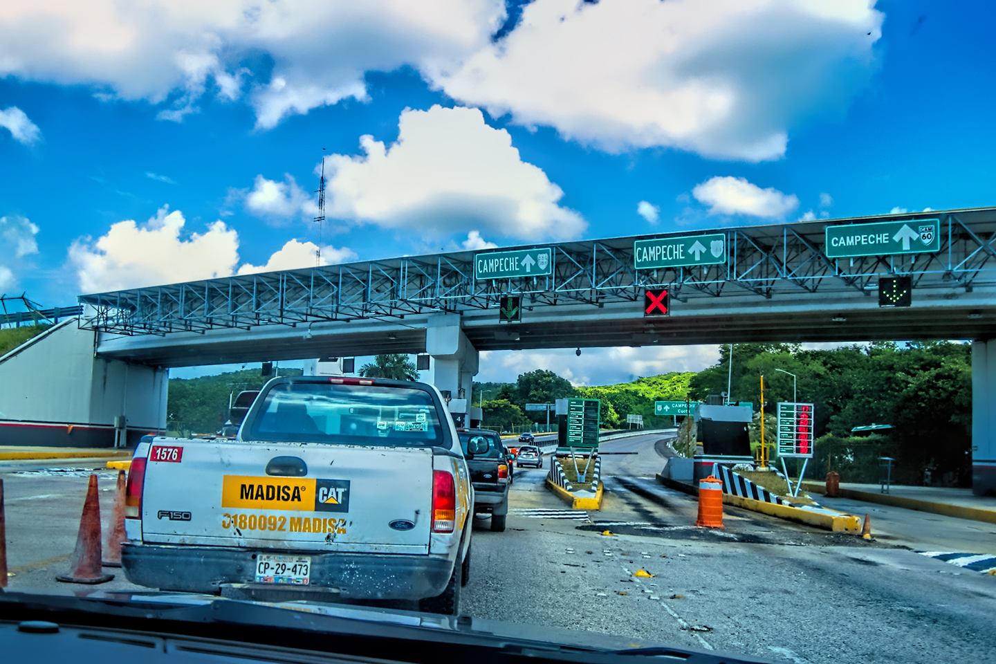
PIEDRAS NEGRAS
The miles passed quickly, and, and almost before we knew it, we were exiting the Toll Road in Piedras Negras.
Down in Piedras Negras, you gotta watch yourself; There’s a whole lotta hungry people, lookin’ to share some wealth…
Aside from that brief mention in the song “Safe Side,” by James McMurtry, Piedras Negras is perhaps best known as the birthplace of the Nacho. For us, on that November day in 2015, it was simply the safest alternative for exiting Mexico, and returning to the U.S.A.

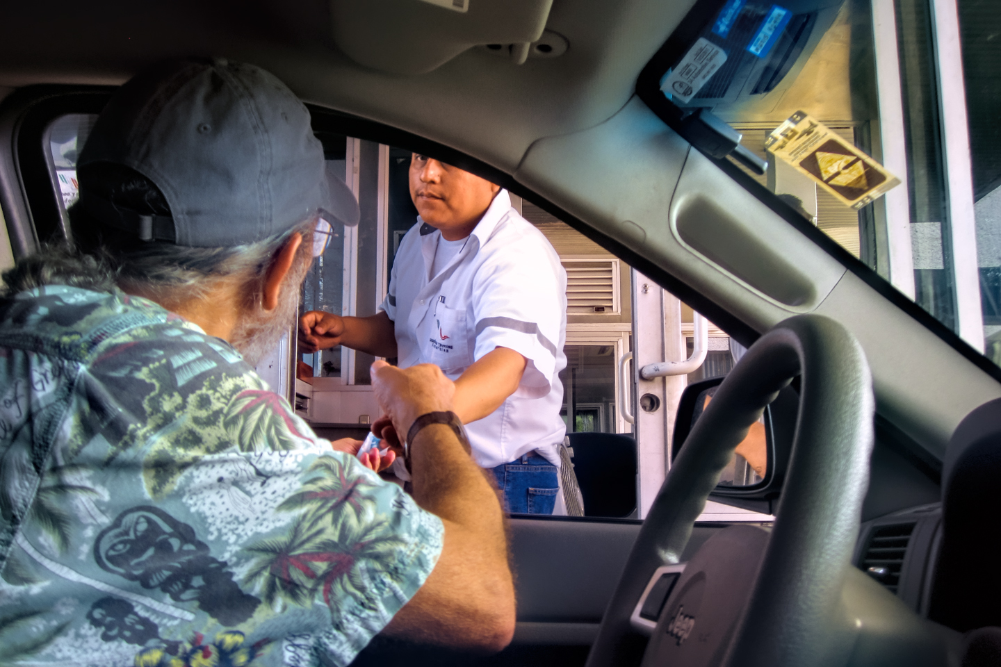
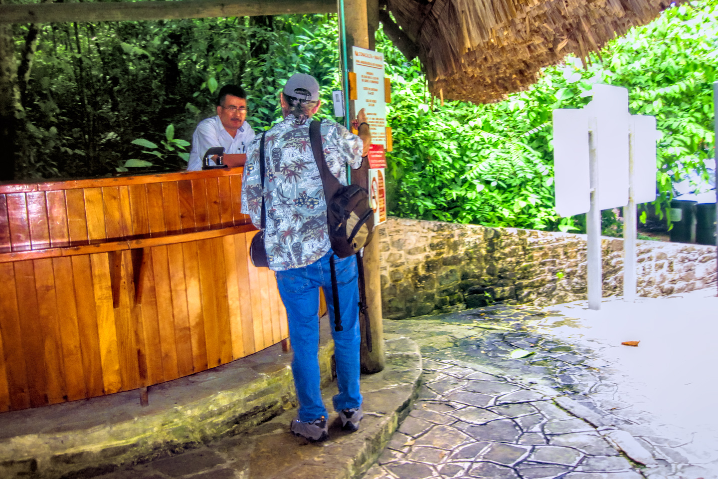
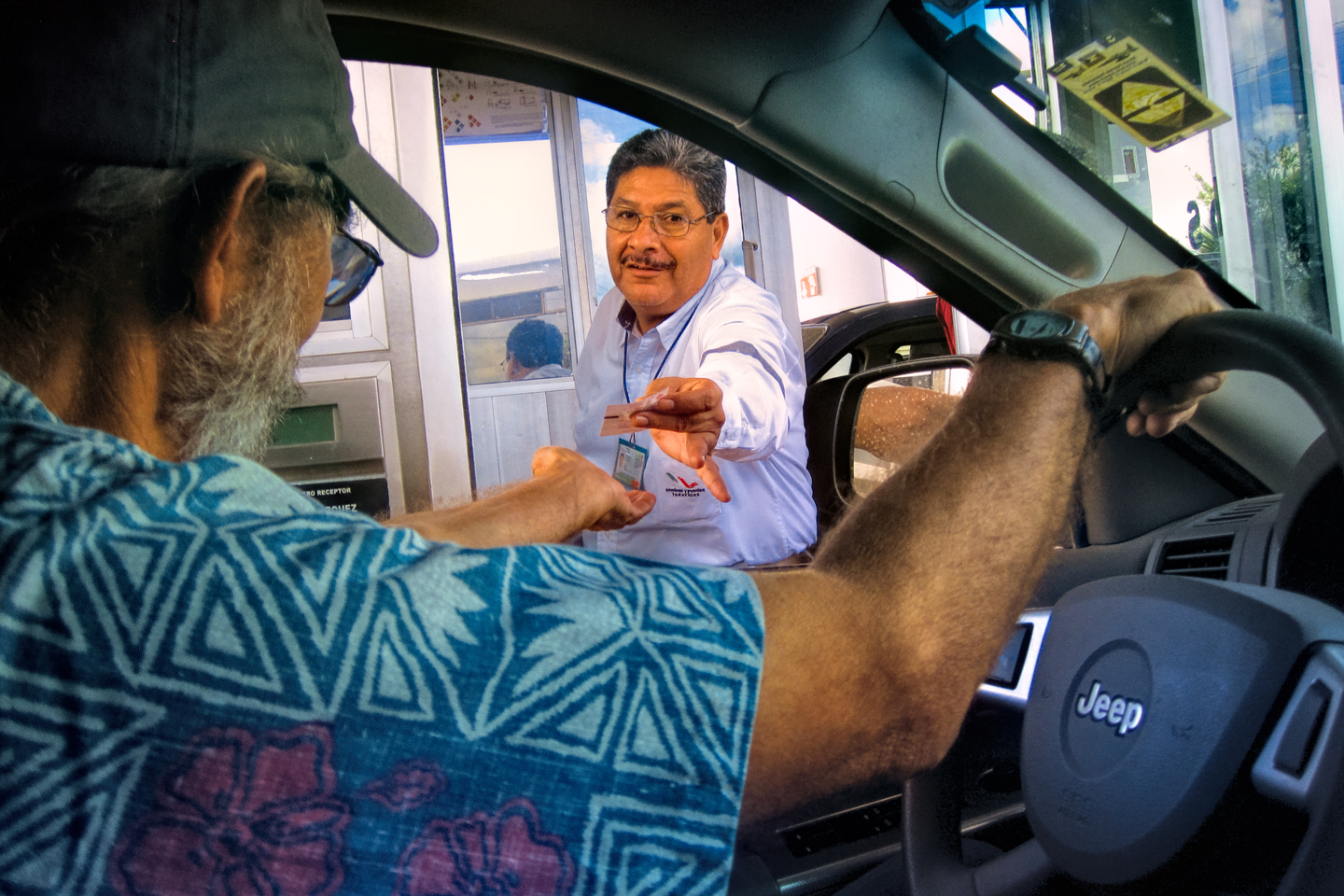
When we first entered Mexico, 27 days earlier, we secured a Temporary Import Permit (a T.I.P.), which granted me permission to drive my foreign-plated vehicle beyond the free zone while traveling in Mexico as a tourist. To obtain the permit, I had to post a $400 cash bond, in the form of a $400 charge on my Visa credit card. You get that money back when you leave Mexico and cancel your T.I.P. They simply reverse the original charge.
If you fail to cancel your T.I.P. before leaving Mexico, you’ll lose more than just your $400 deposit. They will also cancel your insurance, and you’ll be prohibited from using the Temporary Import Permit program to bring any other vehicles into Mexico in the future.
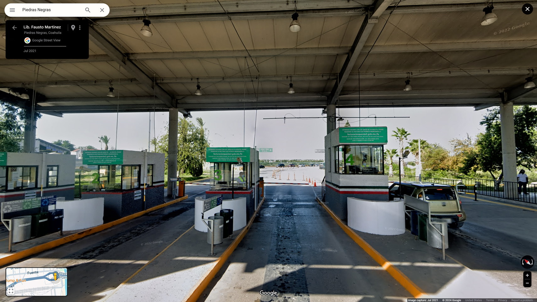
Banjercito is the military bank that handles the permit fees and deposits for all vehicles imported under this program. I paid my $400 at their branch in Nuevo Laredo, with the understanding that I’d be able to get my money refunded at any Banjercito branch that was within 50 miles of the border. As it happened, they had a branch right near the foot of the bridge in Piedras Negras, one of several government offices located in a distinctive round building.


Signs directed me to park in a special lot off to the right, and there were additional signs identifying a sidewalk leading to the building entrance. There were just two people ahead of us, so we only had to wait about five minutes. That was quite a difference from our experience in Nuevo Laredo, where lines were long, and every aspect of the process took forever.
A young woman seated at a desk reviewed my paperwork, then accompanied me outside to where my Jeep was parked. She double-checked the V.I.N. # of my vehicle, and then she scraped off the window decal, using a razor blade scraper. Back inside the building, she ran my credit card to reverse the charge on my $400 deposit–and that was that. She wished us a “Buen viaje,” and we were free to leave.
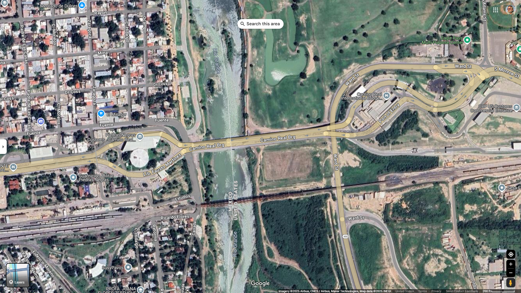
Satellite view of the bridge over the Rio Grande at Piedras Negras, Coahuila
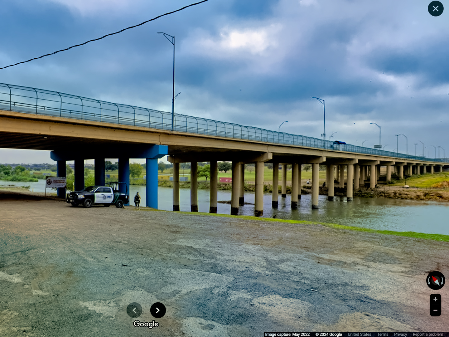

Customs Inspection, Eagle Pass. Texas
There was no reason to delay any further, so we followed the signs toward Eagle Pass. A short bridge crossed the river (the storied Rio Grande), and led directly to the Inspection lanes for U.S. Customs and Border Patrol. We presented our passports to an inspector in a glass booth, and answered a few questions about where we’d been. All I had to declare was a hat and a T-shirt, Mike had the same, plus a few “Day of the Dead” souvenirs. The guy in the booth said, “Welcome back to the U.S.,” and waved us on, without even bothering to check our luggage, much less any of the hidden spaces in my vehicle.
Eagle Pass was a quiet little border town when we passed through it, but that was ten years ago, all the way back in 2015. More recently, Eagle Pass became synonymous with the worst aspects of the migrant crisis on our southern border. Thousands of people were crossing the river here every single day, creating an unprecedented humanitarian crisis on both sides of the border, straining local resources to the breaking point. In the last six months or so, those numbers have dropped to less than 5o people per day, a historic low, largely the result of policy changes and agressive enforcement.
We still had a four hour drive ahead of us, so we gassed up the Jeep (self service, naturally), ate fast-food hamburgers, and hit the road. We made it to Austin just in time to meet some friends for dinner. (Pizza, as I recall), and the next morning, I dropped Mike at the airport, in plenty of time to catch his flight.
**************************************
Mike and I had a blast on our Mexican Road Trip. Sure, there was the Officer Plata incident and the Zapatistas, and dozens of minor aggravations, but there were also fourteen sets of Mayan ruins, fabulous festivals in Merida and San Miguel, colonial cities galore, and all those wonderful mountain roads. Any regrets? Maybe one or two, but if I was ever given the chance, I’d do it all again, without a moment’s hesitation.
This post is the last in a series of sixteen articles, telling the tale of our Mexican Road Trip in great detail. (More than 50,000 words of text, and literally thousands of photographs.). If you haven’t seen the rest of the series, you should check it out, beginning with my planning guide:

The photo collage below features additional photos taken on the road in Mexico by my inestimable shotgun rider, Michael Fritz. Click any image to expand them to full screen:
(Unless otherwise noted, all other images are my (or Michael’s) original work, and are protected by copyright. They may not be duplicated for commercial purposes.)
Click any photo to expand the image to full screen
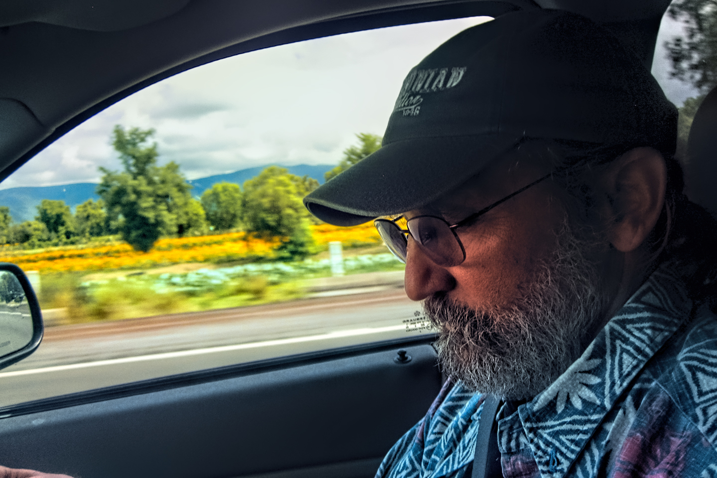
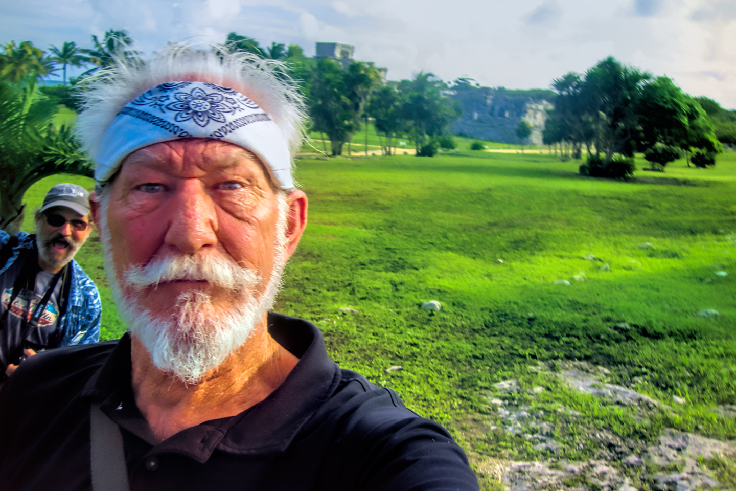
Michael Fritz, “Elmo,” 1949-2025
READ MORE LIKE THIS:
This is an interactive Table of Contents. Click the thumbnails to open the pages.
ON THE ROAD IN MEXICO
MEXICAN ROAD TRIP: HOW TO PLAN AND PREPARE FOR A DRIVE TO THE YUCATAN
The published threat levels are a “full-stop” deal breaker for the average tourist. That’s unfortunate, because Mexican road trips are fantastic! Yes, there are risks, but all you have to do to reduce those risks to to an acceptable level is follow a few simple guidelines.
<<CLICK to Read More!>>

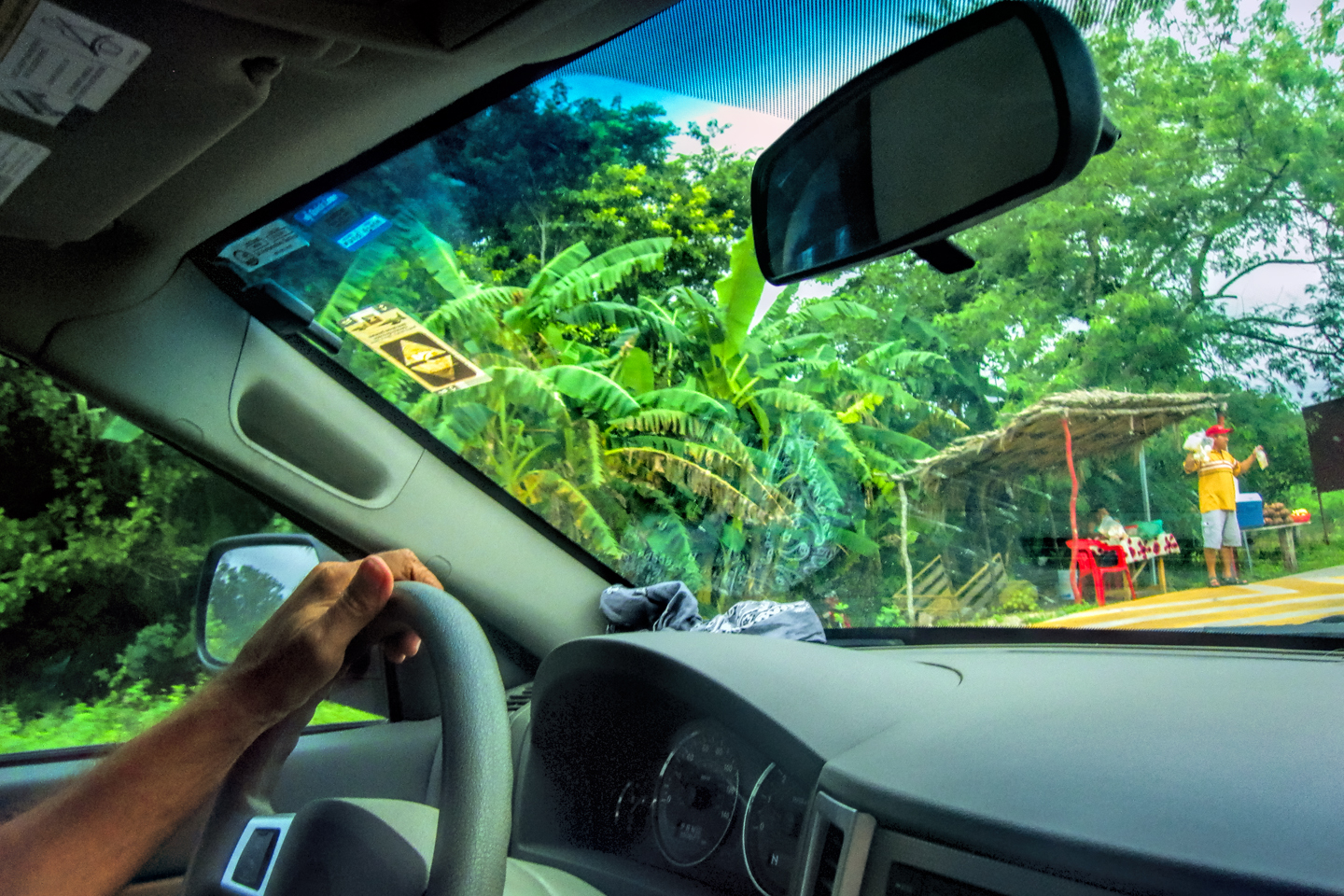
Mexican Road Trip: Heading South, From Laredo to Villahermosa
When it was our turn, soldiers in SWAT gear surrounded my Jeep, and an officer with a machine gun gestured for me to roll down my window. He asked me where we were going. I’d learned my lesson in customs, and knew better than to mention the Yucatan. “We’re going to Monterrey,” I said, without elaborating.
He checked our ID’s and our travel documents, then handed them back. “Don’t stop along the way,” he advised. “You need to get off this road and to a safe place as quickly as you can!”
<<CLICK to Read More!>>

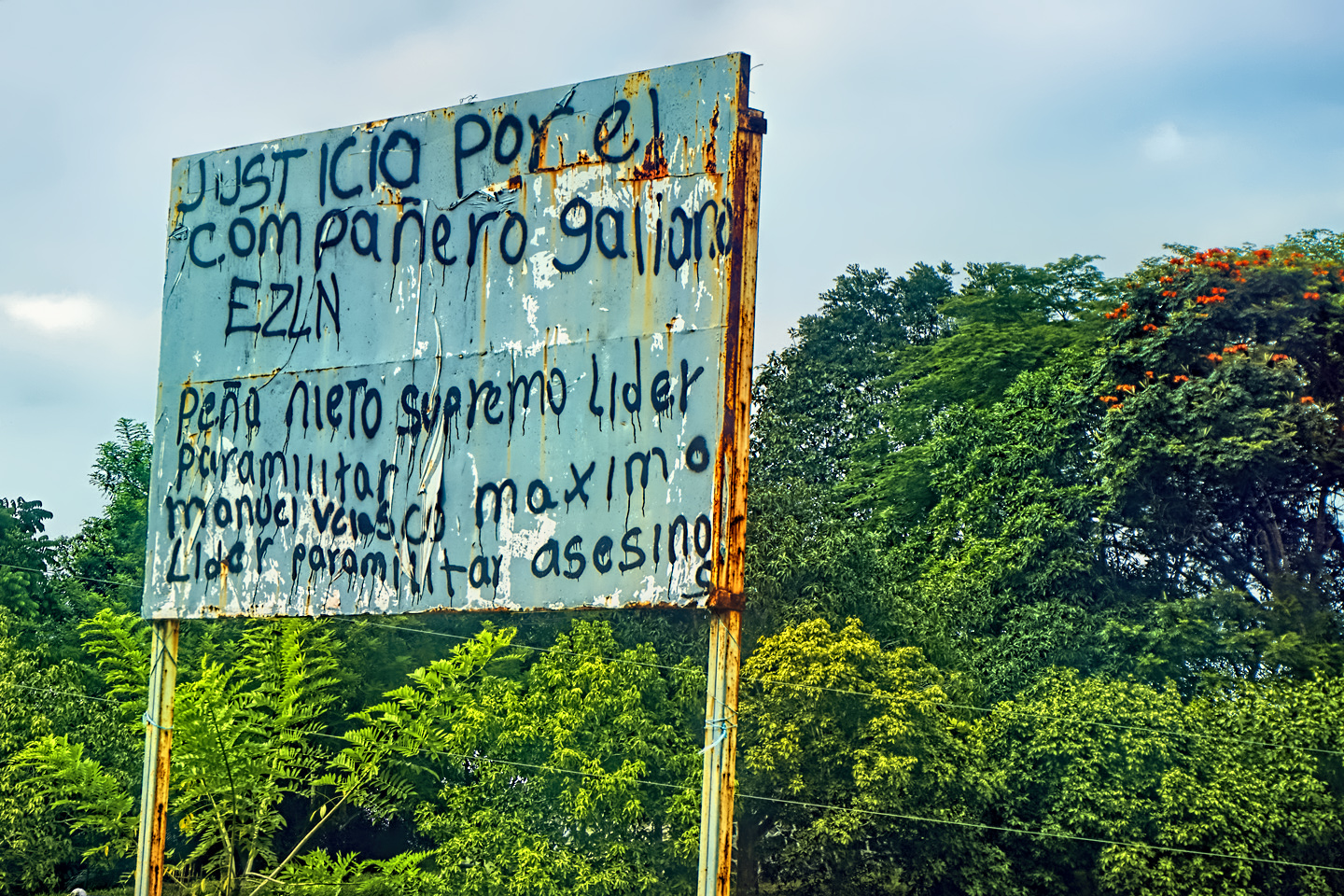
Mexican Road Trip: Zapatista Road Blocks in Chiapas
“Good morning,” I said. “We’re driving to Palenque. Will you allow us to pass?”
The leader of the group, a young Mayan lad, walked up beside my Jeep, and fixed me with a menacing glare. “The road is closed,” he said, keeping his hand on the hilt of his machete. “By order of the Ejército Zapatista de Liberación Nacional!”
“Is it closed to everyone?” I asked innocently. “How about if we pay a toll? How much would the toll be?”
He gave me an even more menacing glare. “That will cost you everything you’ve got,” he said gruffly, brandishing his machete, while his companions did the same.
<<CLICK to Read More!>>

Mexican Road Trip: Mayan Ruins and Waterfalls in the Lacandon Jungle
The next morning, we were waiting at the entrance to the Archaeological Park a half hour before they opened for the day. We were the only ones there, so they let us through early, and I had the glorious privelege of photographing that wonderful ruin in the golden light of early morning, without a single fellow tourist cluttering my view.
<<CLICK to Read More!>>

Mexican Road Trip: Merida and the Meridanos
Merida is the largest city in southern Mexico, with a population of almost a million. Statistically, Yucatan is the safest of Mexico’s states, and Merida is widely considered the safest of all Mexico’s cities.
<<CLICK to Read More!>>


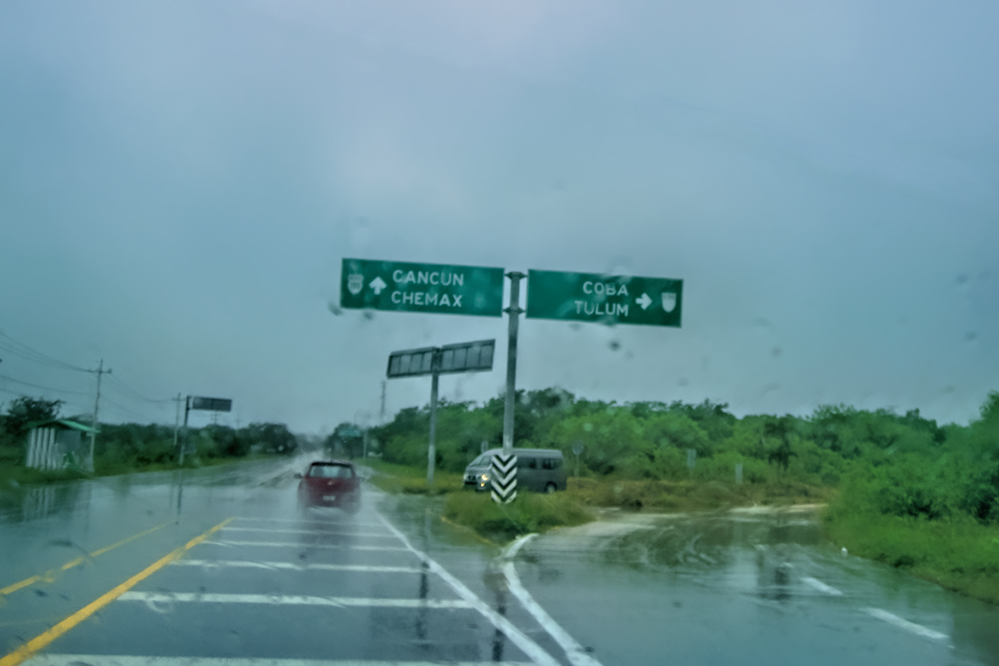
Mexican Road Trip: Cancún, Tulum, and the Riviera Maya
The millions of tourists who fly directly to Cancún from the U.S. or Canada are seeing the place out of context. They can’t possibly appreciate the fact that they’re 2,000 miles south of the border; a whole country, a whole culture, a whole history away from the U.S.A. Just looking around, on the surface? The second largest city in southern Mexico could easily pass for a beach town in Florida.
<<CLICK to Read More!>>

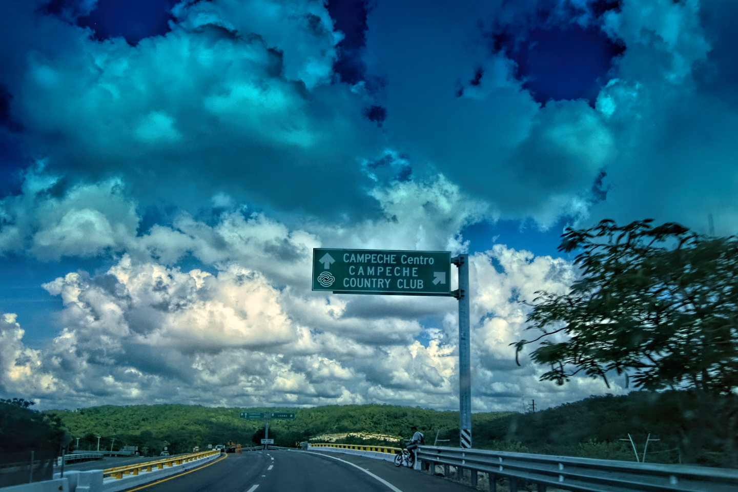
Mexican Road Trip: Circling the Yucatan, from Quintana Roo to Campeche
The Castillo at Muyil isn't huge, as Mayan pyramids go, topping out at just over 50 feet, but it’s definitely imposing. Try to imagine: the equivalent of a five story building, with a three story grand staircase, just appearing, out in the middle of nowhere? Boo-yah!
<<CLICK to Read More!>>

Mexican Road Trip: Edzná, and Campeche, Where They Dance La Guaranducha
La Guaranducha, a traditional dance from Campeche, is a celebration of life, community, and the joy of existence. On stage, there was a group of young men and women in traditional dress, but it was clear that the guys were little more than props, because all eyes were on the girls. So colorful, and so elegant, hiding coyly behind their pleated, folding hand fans.

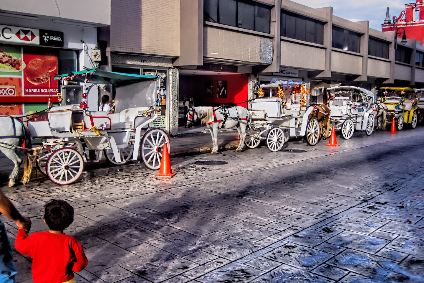
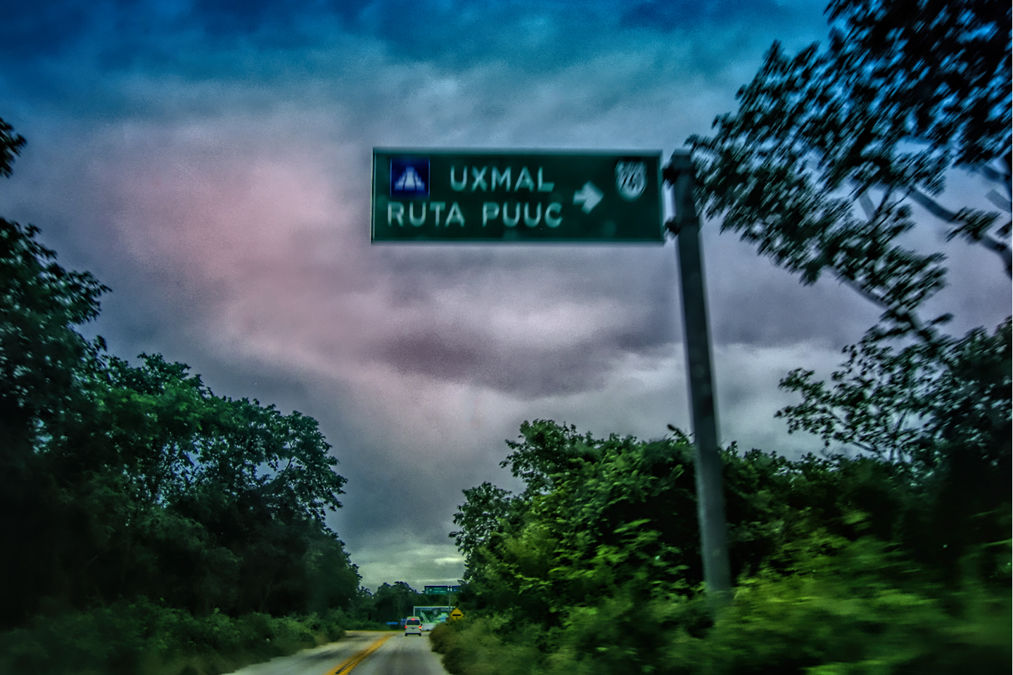
Mexican Road Trip: Adventures Along the Puuc Route
All of these communities in the Puuc region were allied, politically, culturally, economically, and socially. The Puuc was the cradle of the Golden Age of the Maya. Labna and Sayil were among the brightest jewels in the crown of a realm that never quite coalesced into an empire.
<<CLICK to Read More!>>

Mexican Road Trip: The Road to Bonampak
Rainwater seeping through the limestone walls of the temple soaked the Bonampak Murals with a mineral-rich solution that, each time it dried, left behind a sheen of translucent calcite. The built-up coating protected the paintings for more than 1200 years. As a result, we're left with the finest examples of ancient art from the Americas to have survived into our modern era.

Mexican Road Trip: Crossing the Chiapas Highlands, to San Cristobal de las Casas
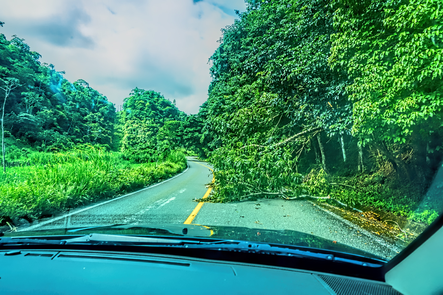
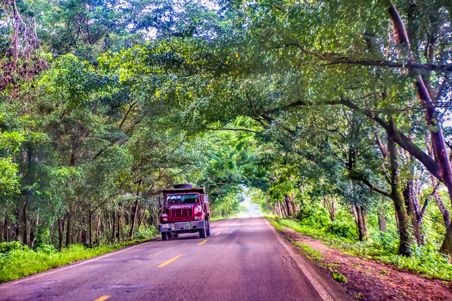
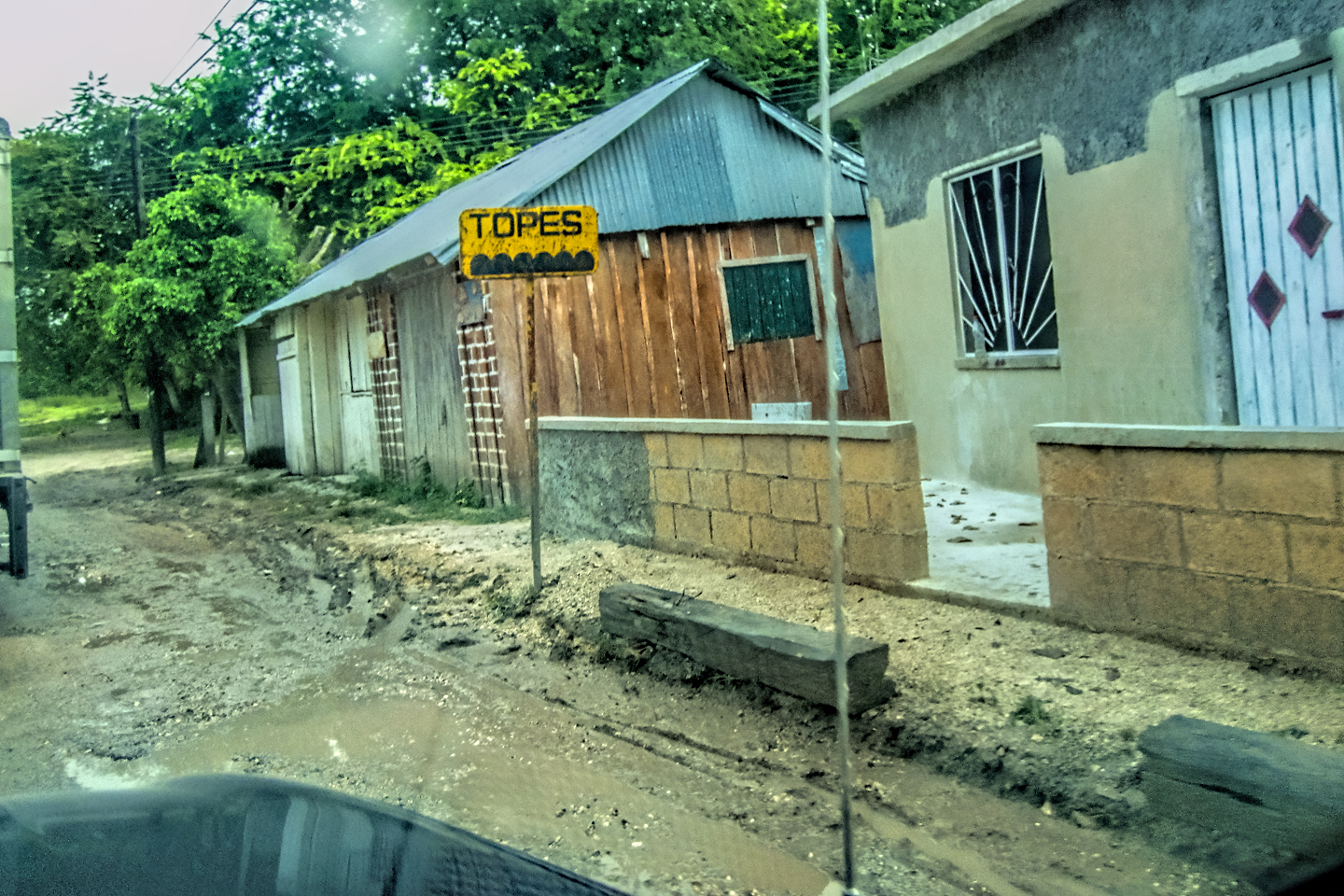
MX 199 crosses the Chiapas Highlands from Palenque to San Cristobal de las Casas. The distance is only 132 miles, but it's 132 miles of curvy mountain roads with switchbacks, steep grades, slow trucks, and villages chock-a-block with topes and bloqueos, unofficial road blocks. Everything I read, and everything I heard, described the drive as alternatively spectacular, dangerous, and fascinating, in seemingly equal measure.

Mexican Road Trip: Cruising the Sierra Madre, from San Cristobal to Oaxaca
Today, we’d be driving as far as the city of Oaxaca, 380 miles of curves, switchbacks, and rolling hills that would require at least ten hours of our full attention, crossing the Sierra Madre de Chiapas, and entering the rugged, agave-studded landscape of the Sierra Madre de Oaxaca. If you’d like to know what that was like, read on!

Mexican Road Trip: Flashing Lights in the Rear View: Officer Plata and La Mordida
As we drove away from the toll plaza, a State Police car that had been parked off to one side made a fast U-Turn and started following me. A moment later, he turned on his flashers and gave me a short blast on his siren, motioning for me to pull over. Two uniformed policemen got out, and approached me on the driver's side. One of them hung back, apparently checking out my license plate before making a phone call.
I wasn't sure if I was being stopped for some infraction, or if these guys were just fishing...

Mexican Road Trip: Three Days of the Dead in San Miguel de Allende
By mid-afternoon, the Jardin was beginning to fill with people. Painted faces were literally everywhere! It was like a costume party, but the venue wasn’t some hall or other indoor space, it was the whole entire town! Mike and I were definitely getting into the spirit of the thing–but we still drew the line at the notion of painting our beards...
Mexican Road Trip: Back to the Border: San Miguel de Allende to Eagle Pass
Saltillo was our crossroads: if we turned east here, we’d be retracing our previous route to the border at Nuevo Laredo--along the Highway of Death! This time, we knew better, so we turned north, toward Monclova, and Piedras Negras.


Southern Colonials: Merida, Campeche, and San Cristobal
Visiting the Spanish Colonial cities of Mexico is almost like traveling back in time. Narrow cobblestone streets wind between buildings, facades, and stately old mansions that date back three hundred years or more, along with beautiful plazas, parks, and soaring cathedrals, all of similar vintage.
<<CLICK to Read More!>>

San Miguel de Allende, Mexico's Colonial Gem
If you include the chilangos, (escapees from Mexico City), close to 20% of the population of San Miguel de Allende is from somewhere else, a figure that includes several thousand American retirees.
<<CLICK to Read More!>>

Day of the Dead in San Miguel de Allende
In San Miguel de Allende, they've adopted a variation on the American version of Halloween and made it a part of their Day of the Dead celebration. Costumed children circle the square seeking candy hand-outs from the crowd of onlookers. It's a wonderful, colorful parade that's all about the treats, with no tricks!
<<CLICK to Read More!>>
DIA DE LOS MUERTOS: A GALLERY OF PHOTOGRAPHS


IN THE LAND OF THE MAYA

Palenque: Mayan City in the Hills of Chiapas
Palenque! Just hearing the name conjures images of crumbling limestone pyramids rising up out of the jungle, of palaces and temples cloaked in mist, ornate stone carvings, colorful parrots and toucans flitting from tree to tree in the dense forest that constantly encroaches, threatening to swallow the place whole.
<<CLICK to Read More!>>

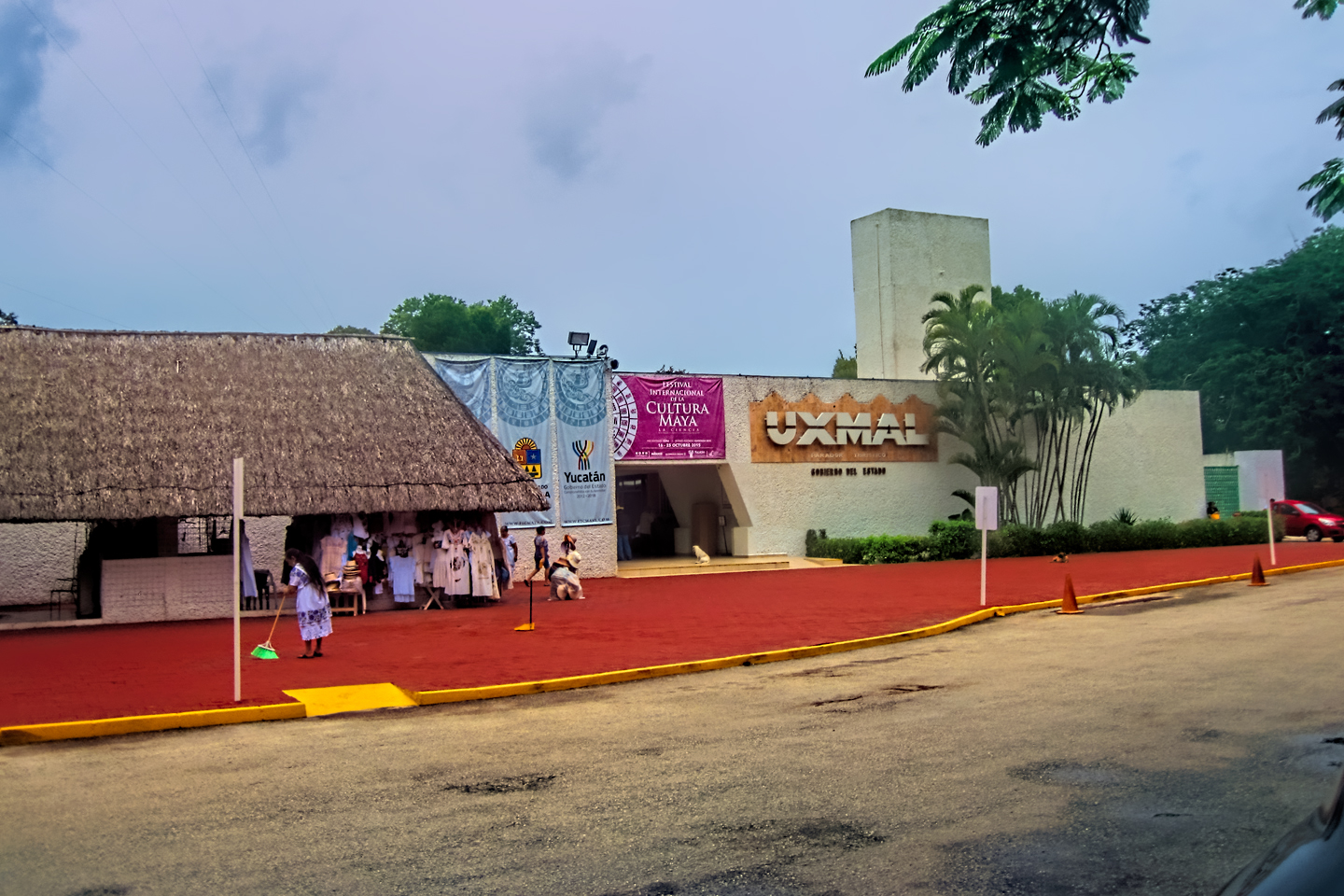
Uxmal: Architectural Perfection in the Land of the Maya
The Pyramid of the Magician is one of the most impressive monuments I've ever seen. There's a powerful energy in that spot--maybe something to do with all the blood that was spilled on the altars of human sacrifice at the top of those impossibly steep steps--but more than any building or other structure at any ancient ruin I've ever visited, more than any demonic ancient sculpture I've ever seen, that pyramid at Uxmal quite frankly scared the hell out of me!
<<CLICK to Read More!>>

The Mayan City of Edzná: First House of the Itzás
The Mayan Edzná is nothing less than epic, lyrical poetry, an extraordinary sonnet comprised of temples and palaces carved in stone that have stood, in regal grandeur, for more than a thousand years.
<<CLICK to Read More!>>

Photographer's Assignment: Chichén Itzá
To get the best photos, arrive at the park before it opens at 8 AM. There will only be a handful of other visitors, and you’ll have the place practically all to yourself for as much as two hours! Take your time composing your perfect shot.There won’t be a single selfie stick in sight.
<<CLICK to Read More!>>

Chichén Itzá: Requiem for the Feathered Serpent
The feathered serpent with the unquenchable thirst for blood may be gone now, or at least fallen out of favor, but as long as the ruins of this ancient city remain standing, he won’t be forgotten.
<<CLICK to Read More!>>

Tulum: The City that Greets the Dawn
Tulum is not all that large, as Mayan sites go, but its spectacular location, right on the east coast of the Yucatan Peninsula, makes it one of the best known, and definitely one of the most picturesque.
<<CLICK to Read More!>>

Cobá and Muyil: Mayan Cities in Quintana Roo
Cobá was a trading hub, positioned at the nexus of a network of raised stone and plaster causeways known as the sacbeob, the white roads, some of which extended for as much as 100 kilometers, connecting far-flung Mayan communities and helping to cement the influence of this powerful city.
<<CLICK to Read More!>>

Becan and Chicanná: Mayan Cities in the Rio Bec Style
Much about the Rio Bec architectural style was based on illusion: common elements include staircases that go nowhere and serve no function, false doorways into alcoves that end in blank walls, and buildings that appear to be temples, but are actually solid structures with no interior space.
<<CLICK to Read More!>>

The Puuc Hills: Apex of Mayan Architecture
The Puuc style was a whole new way of building. The craftsmanship was unsurpassed, and some of the monumental structures created in this period, most notably the Governor’s Palace at Uxmal, rank among the greatest architectural achievements of all time.
<<CLICK to Read More!>>

The Amazing Mayan Murals of Bonampak
Out of that handful of Mayan sites where mural paintings have survived, there is one in particular that stands head and shoulders above the rest. One very special place. Down by the Guatemalan border, in a remote corner of the Mexican State of Chiapas: a small Mayan ruin known as Bonampak.
<<CLICK to Read More!>>
This series of posts is dedicated to my old friend Mike Fritz (aka Elmo), my shotgun rider on my Mexican Road Trip. "Drive to the Yucatan and See Mayan Ruins" was at the top of my post-retirement bucket list, right after "Drive the Alaska Highway and see Denali." We checked off the whole Yucatan thing in a major way, and Mike was a heck of a good sport about it.
Michael passed away in February of 2025, after 75 years of a life well-lived. He was unique, and he'll be missed.

Michael Fritz ("Elmo") 1949-2025

There's nothing like a good road trip. Whether you're flying solo or with your family, on a motorcycle or in an RV, across your state or across the country, the important thing is that you're out there, away from your town, your work, your routine, meeting new people, seeing new sights, building the best kind of memories while living your life to the fullest.
Are you a veteran road tripper who loves grand vistas, or someone who's never done it, but would love to give it a try? Either way, you should consider making the Southwestern U.S. the scene of your own next adventure.
A few years ago I wrote a book about road trips in Arizona and New Mexico that's a lot like this website, packed with interesting information, and illustrated with beautiful photographs. Check it out! You can find it on Amazon, and at all other major booksellers.

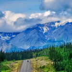
ALASKA ROAD TRIP:
MEXICAN ROAD TRIP (IN THE LAND OF THE MAYA):
ARIZONA AND NEW MEXICO:
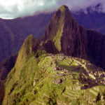
SOUTH AMERICA:
PHOTOGRAPHY:
TRIBAL LANDS:
ALASKA ROAD TRIP:
MEXICAN ROAD TRIP (IN THE LAND OF THE MAYA):
ARIZONA AND NEW MEXICO:
SOUTH AMERICA:
PHOTOGRAPHY:


Recent Comments