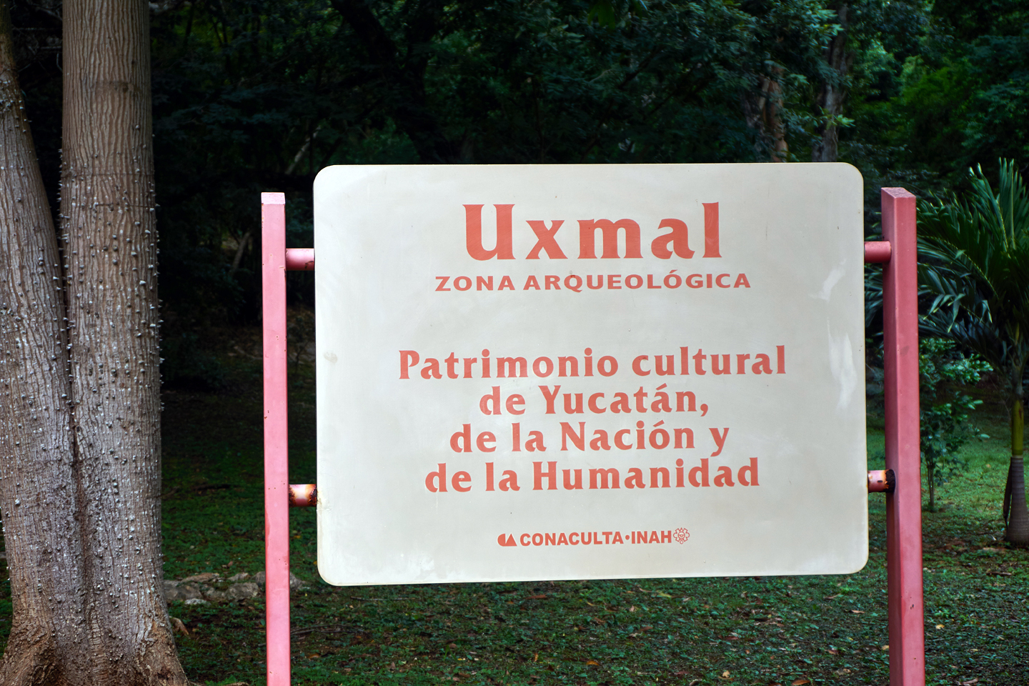
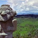
DAY 9: Uxmal: A Tough Act to Follow
Uxmal vs Chichén Itzá? There wasn’t really a competition between these two Mayan cities, it was more of a question that I’d been asking myself. I’d seen plenty of photographs of both, so I knew more or less what to expect, but I also knew that photographs never really capture the true nature of such places. The two Archaeological Parks, both UNESCO World Heritage Sites, are located relatively close together, so we planned to visit them back-to-back, and I was quite curious to compare them, and to decide for myself, which was the most impressive.
Uxmal is said to be the most wonderfully preserved and restored of all the Mayan cities, with some of the finest surviving examples of post-classic Mayan architecture. Chichén Itzá, on the other hand, has that perfect pyramid, the one called the Castillo, which was designated one of the new Wonders of the World, alongside Machu Picchu, the Great Wall of China, and the Taj Mahal. Chichén Itzá is by far the most popular Mayan site, receiving as many as two million visitors in an average year, while Uxmal peaks at around 300,000. The difference has nothing to do with the quality of the ruins, and everything to do with the relative distance to Cancun. Starting from the beaches of Margaritaville, Chichén Itzá is just three hours away on an air conditioned tour bus, six hours there and back. Add in some time at the ruins, it’s a perfect day trip, and you’re back at your hotel in time for Happy Hour. Uxmal, on the other hand, is four hours away, so you’re on a bus for eight hours, altogether, and you don’t even get a Wonder of the World. It should come as no surprise that most of the sun loving vacationers opt to skip it.
Day 9: From Merida to Uxmal
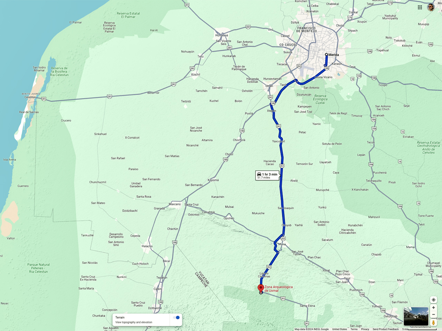
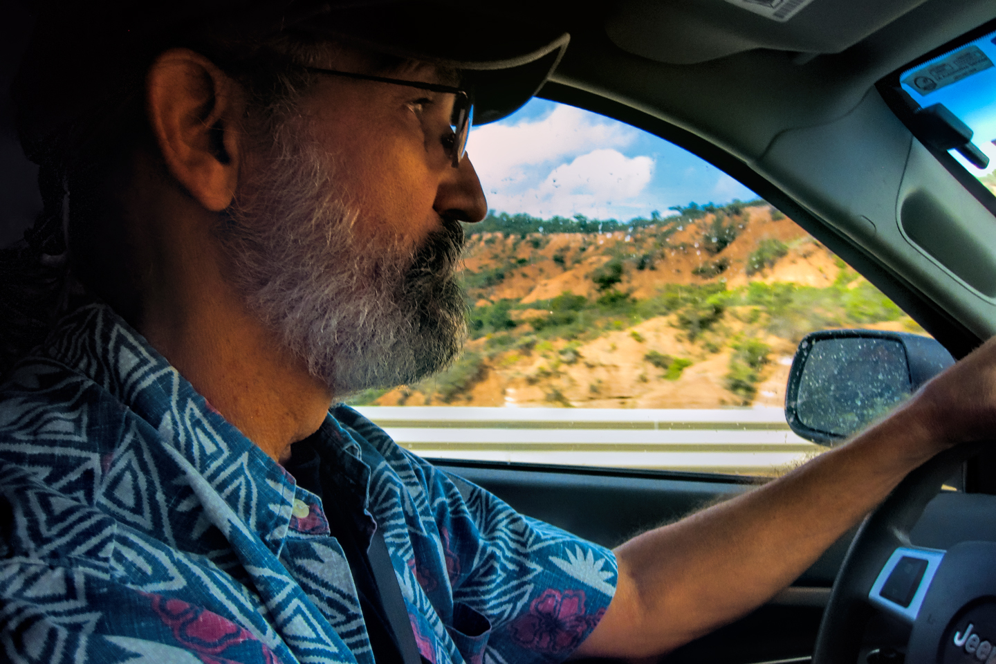
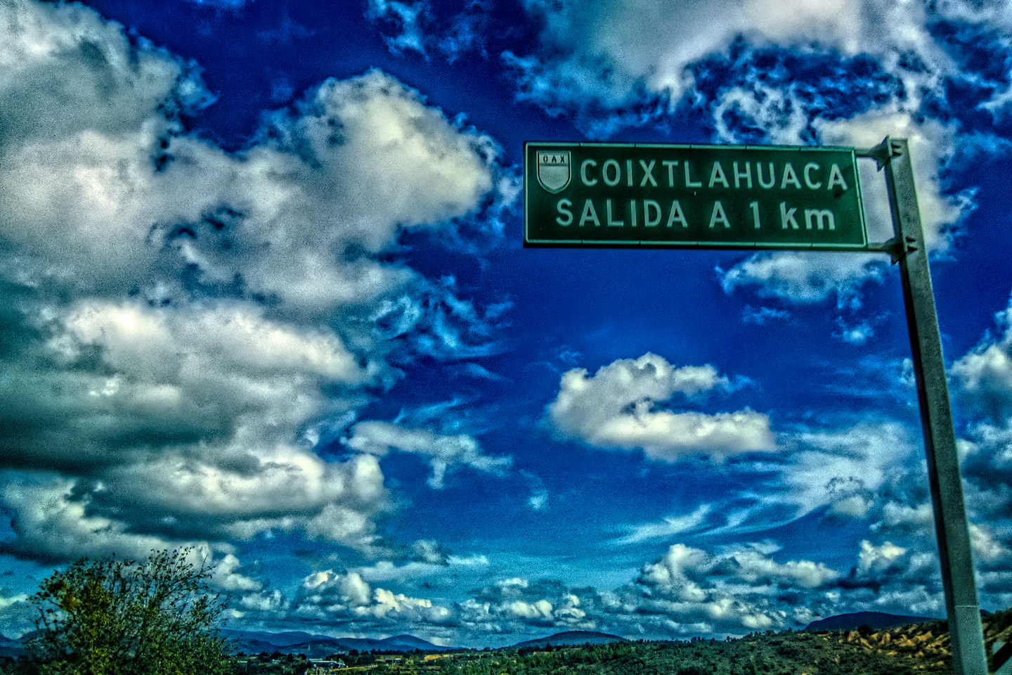
We were starting from Merida, so none of that applied to us. From Merida, Uxmal was actually the closer of the two, only an hour away to the south, so our plan was to drive down early, and try to get to the Park by 8:00 AM, when they first opened for the day, a tactic that worked quite well for us in Palenque.
We used Expedia.mx to find lodging in Merida, and we were so pleased with the result that we decided to try it again with Uxmal. There was no town or village near the ruins, but there were several hotels, including a relatively new one called the Uxmal Resort Maya. The rooms were quite reasonable, less than $50 per night for a double back in 2015. (This year-2024-the same room can be had for $62 per night. Still quite reasonable!)
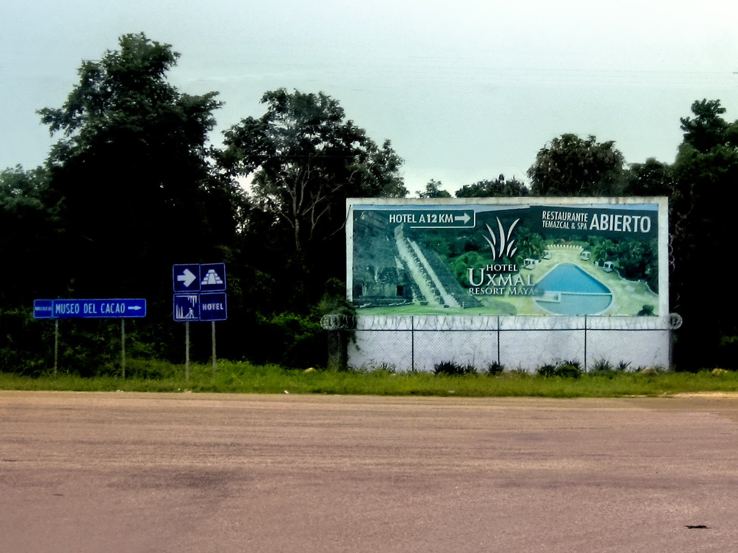
Uxmal Resort Maya, just minutes from the ruins
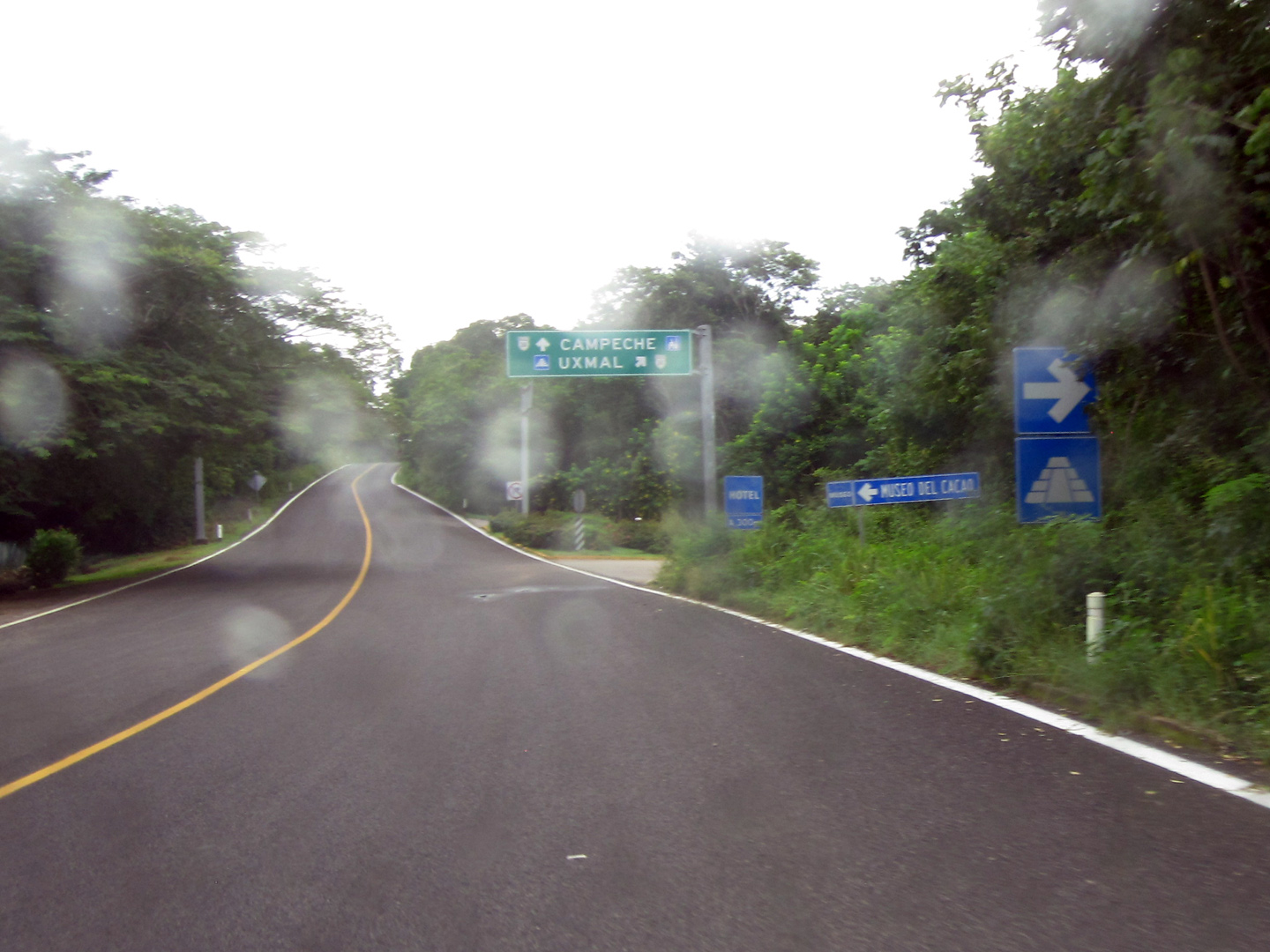
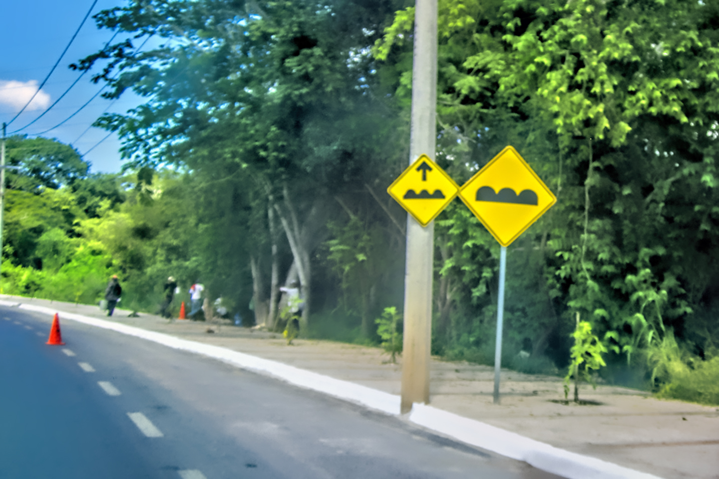
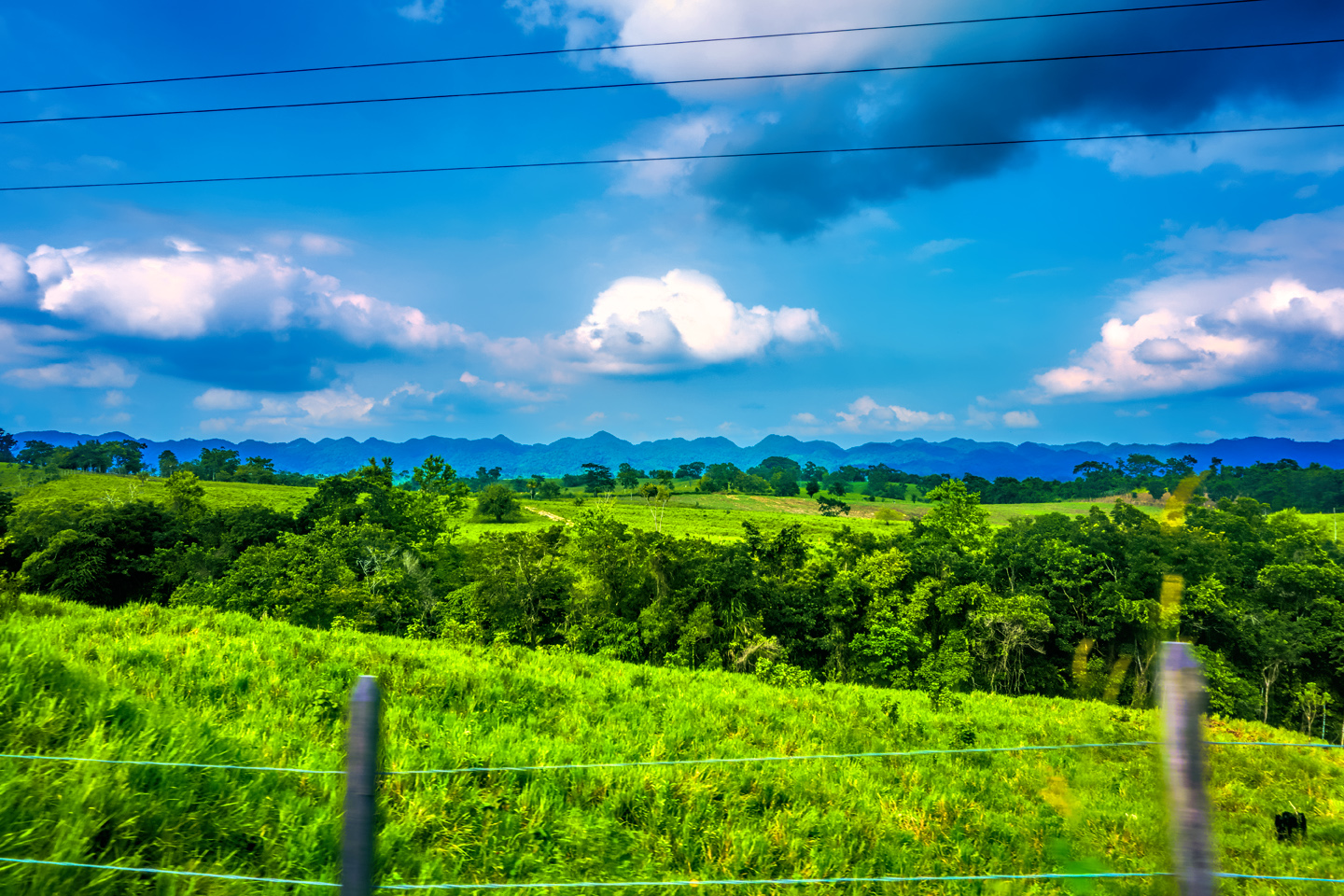
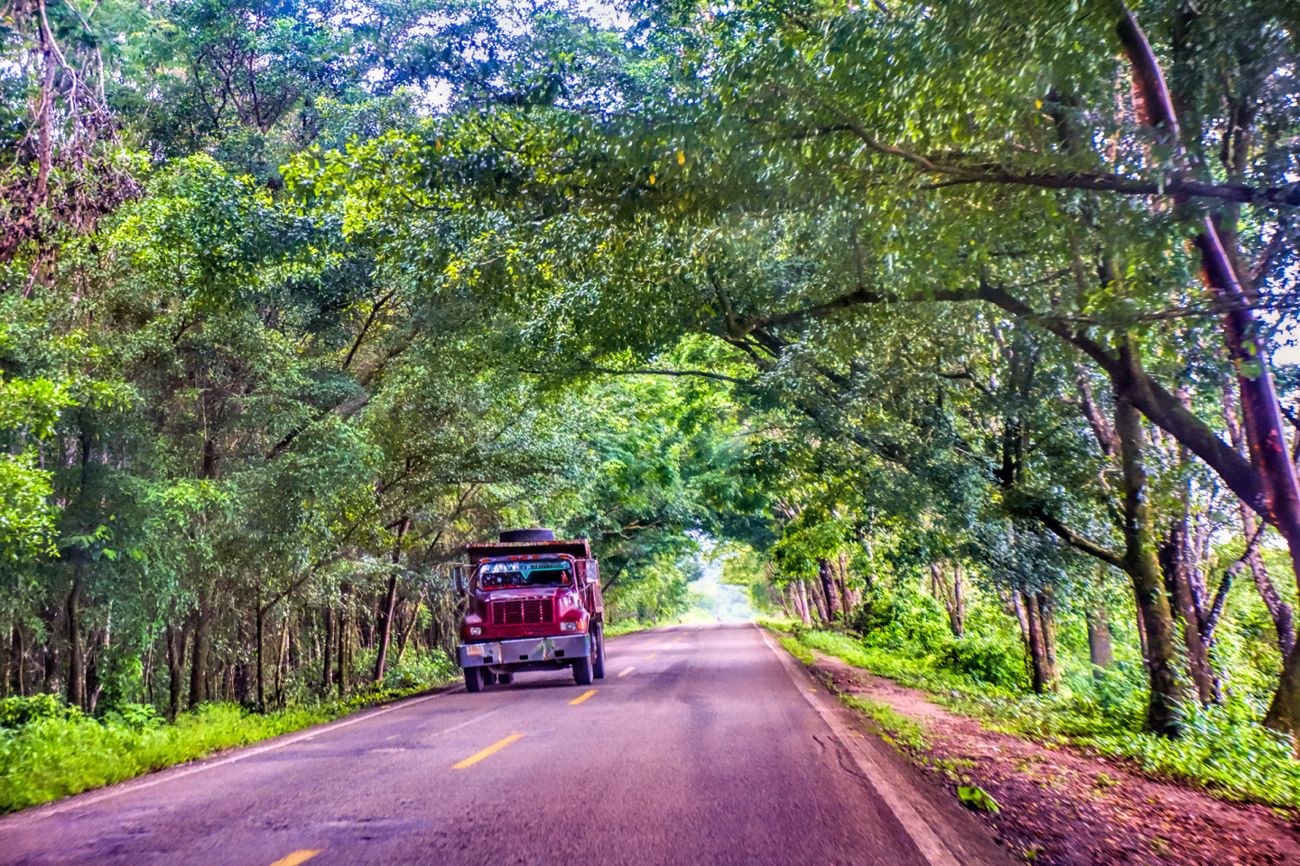
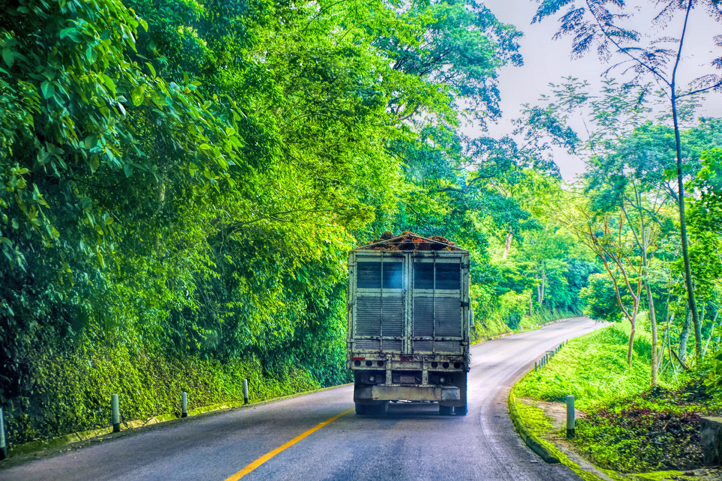
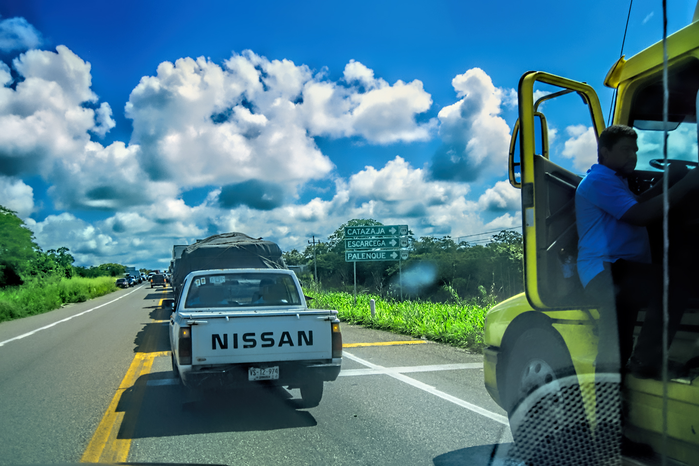
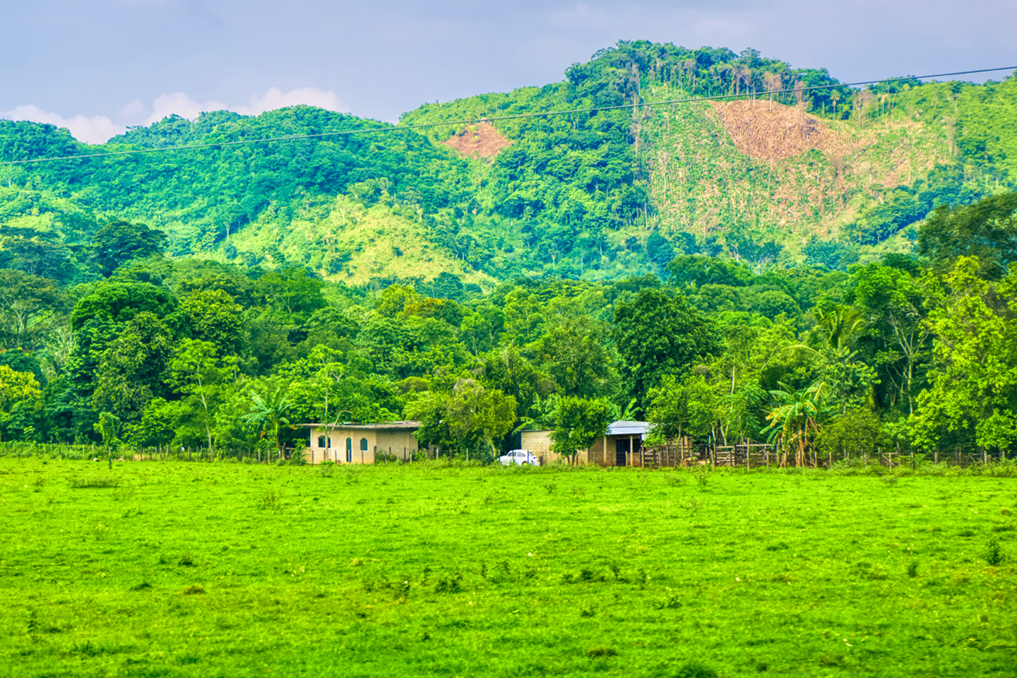
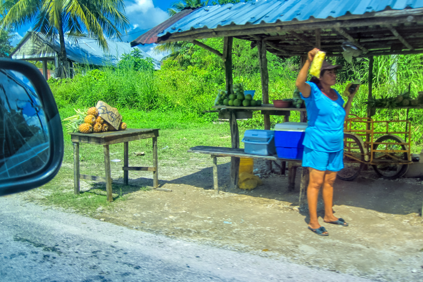
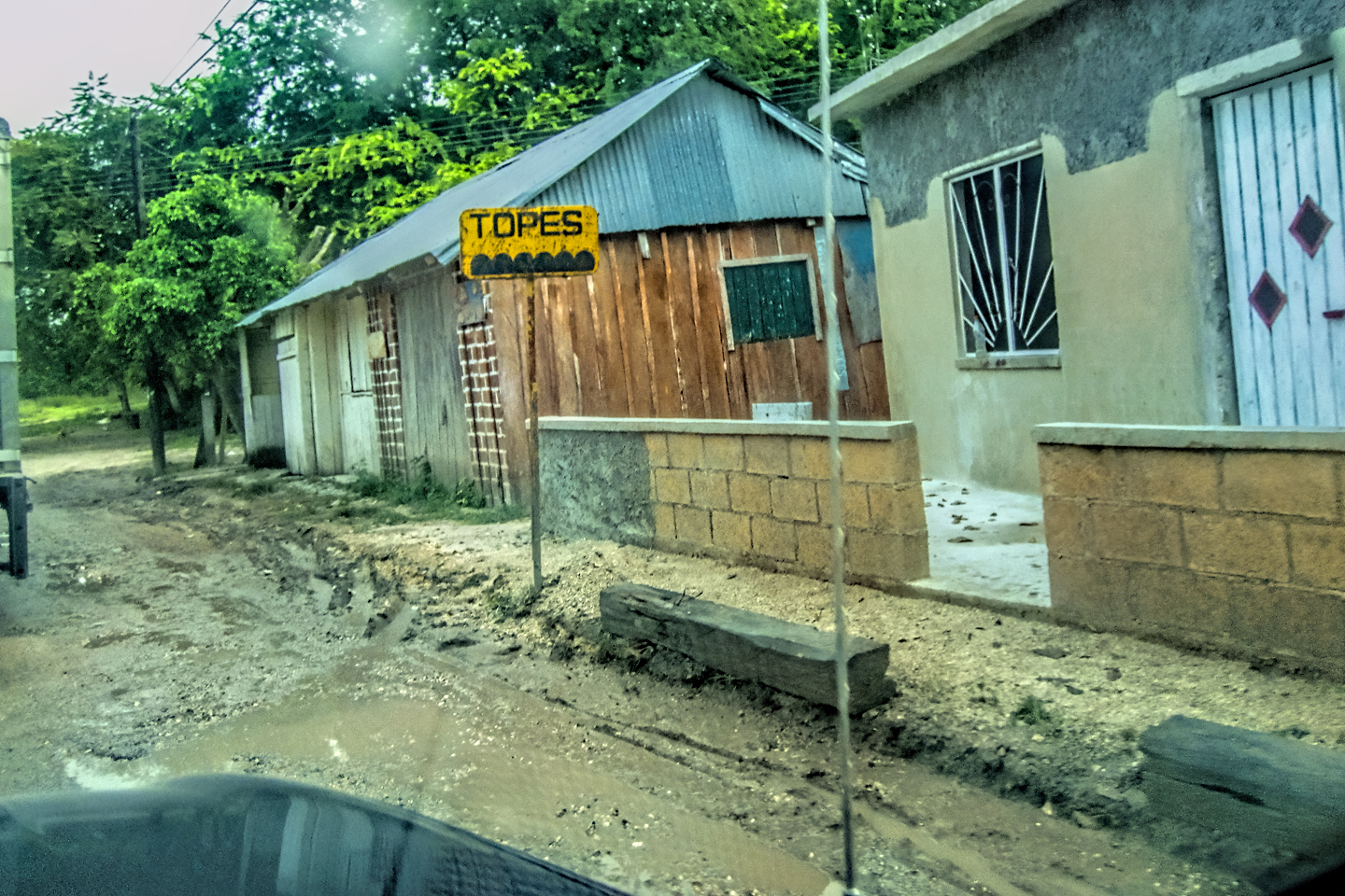
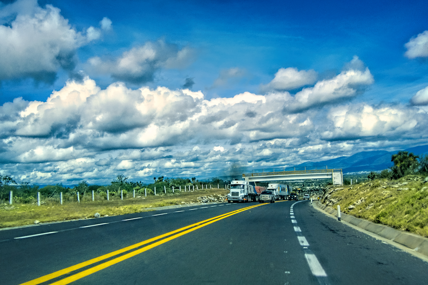
The drive down from Merida was a straight shot on MX 261, a State highway, complete with potholes, livestock in the road, and topes (killer speed bumps), but it still took less than an hour, and that put us ahead of schedule. The hotel was right along the way, and since we had time, we stopped to look it over. The place was even nicer than we expected, but there were surprisingly few guests, almost as if the hotel was so new, it hadn’t been discovered yet. October is the off season in the Yucatan. Everywhere we’d been was what you might call “lightly-touristed,” but this was extreme (and very much to our advantage).
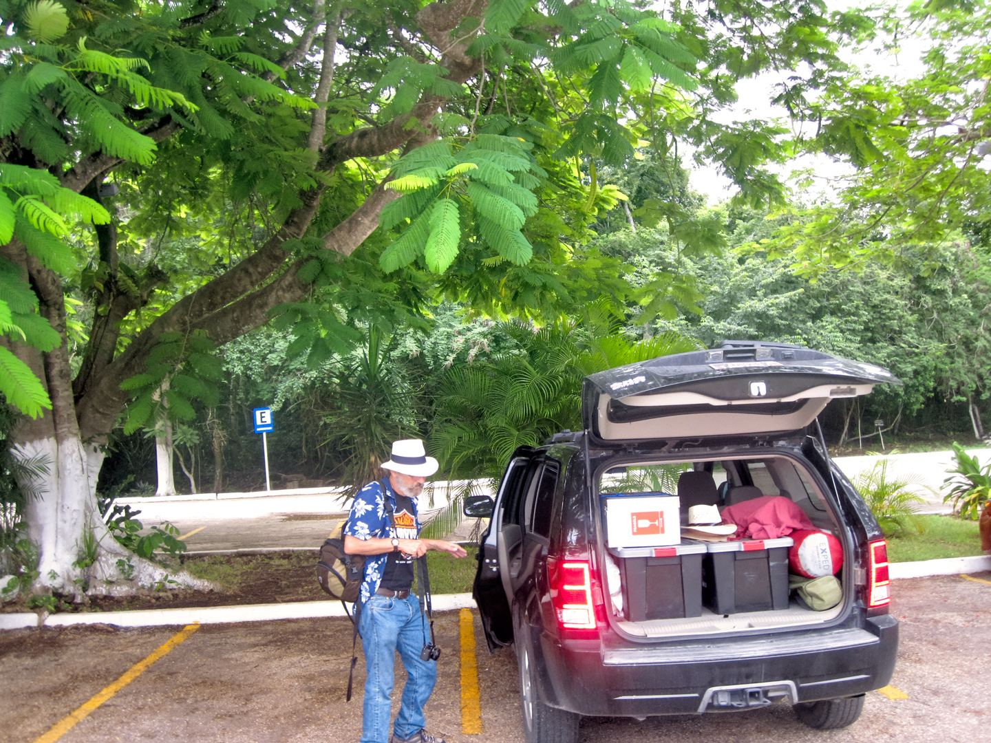
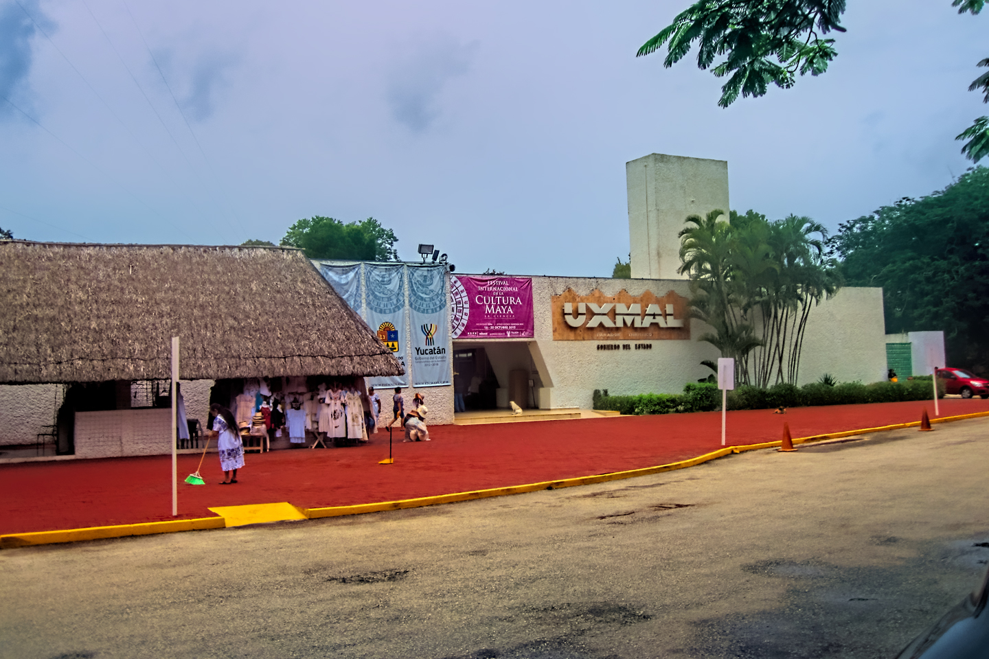
The drive back to the parking area at Uxmal. Through the doors of an unassuming building lie wonders that will blow your mind!
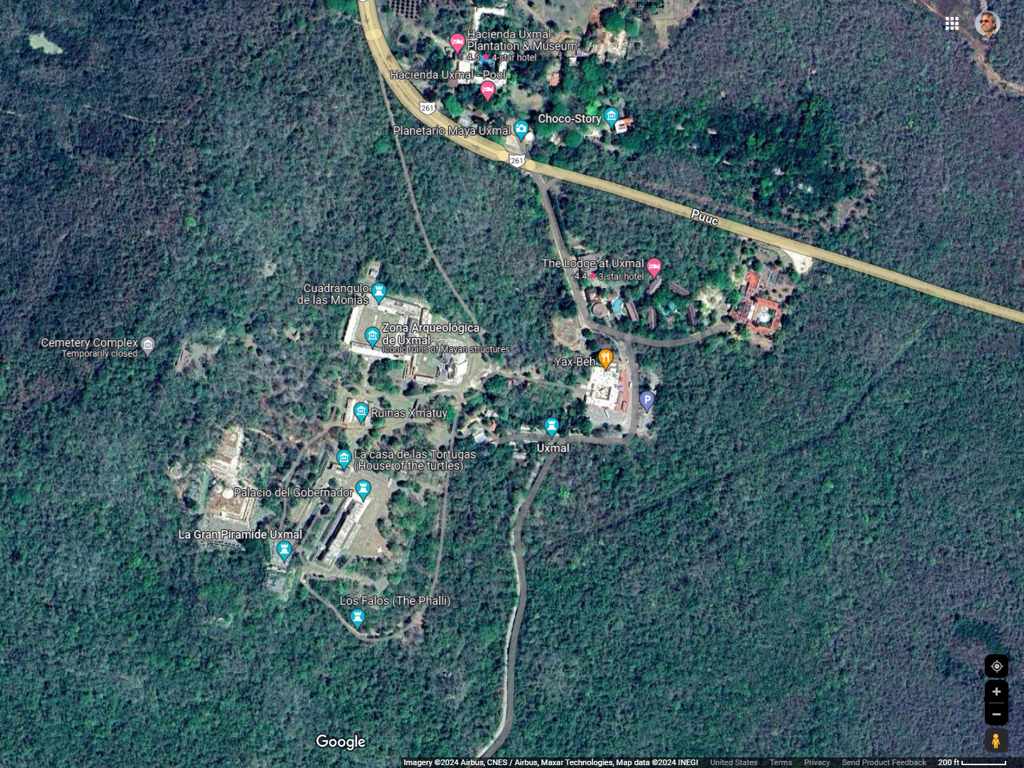
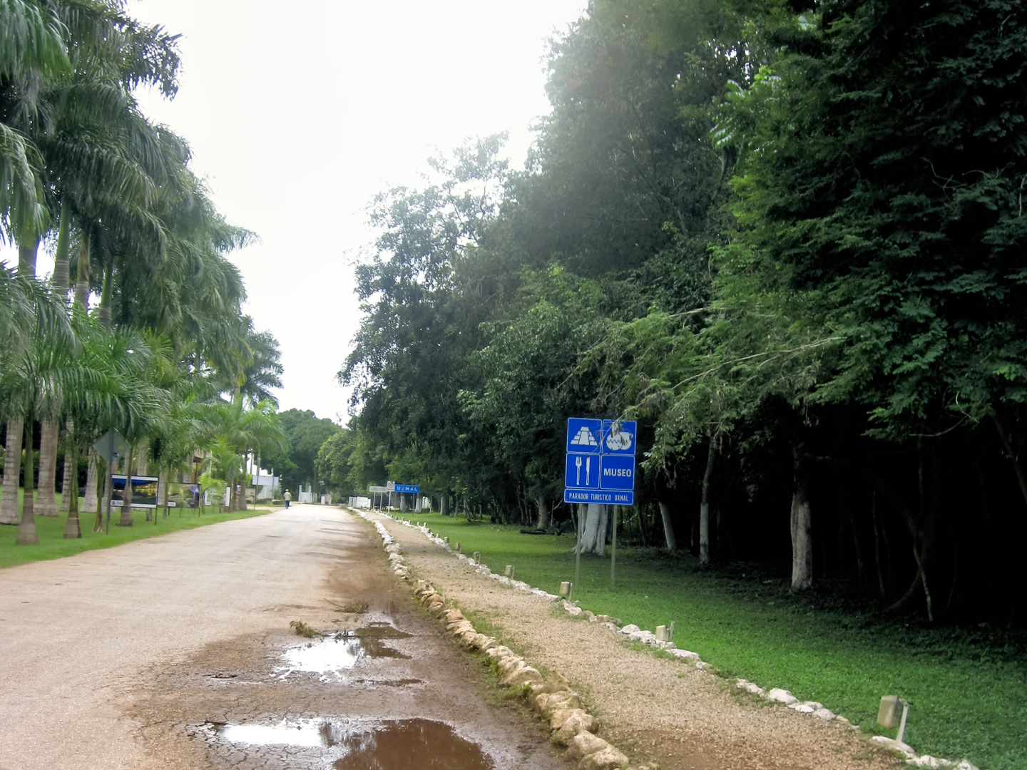
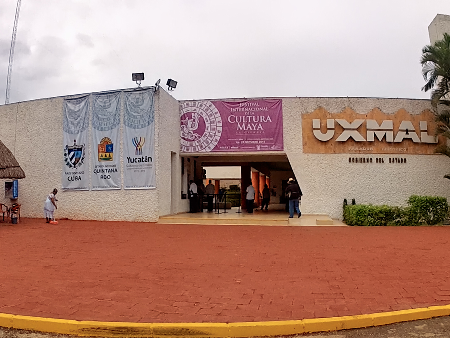
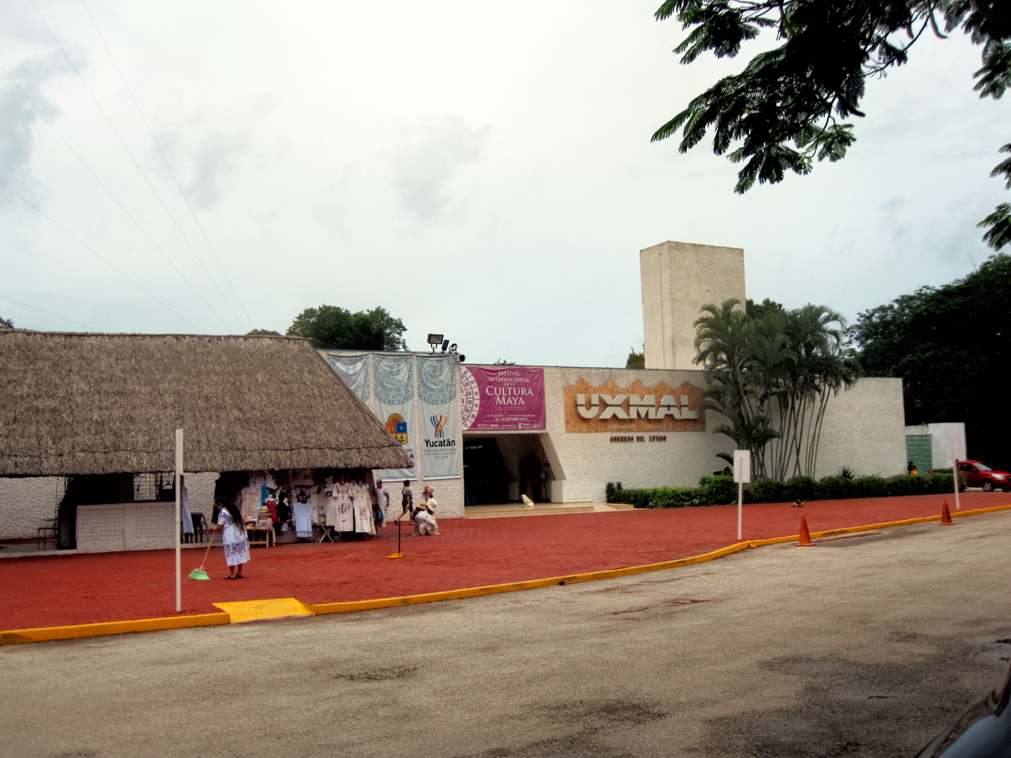
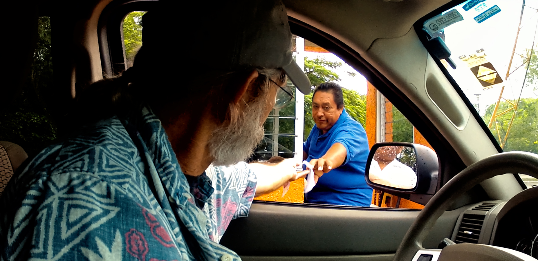
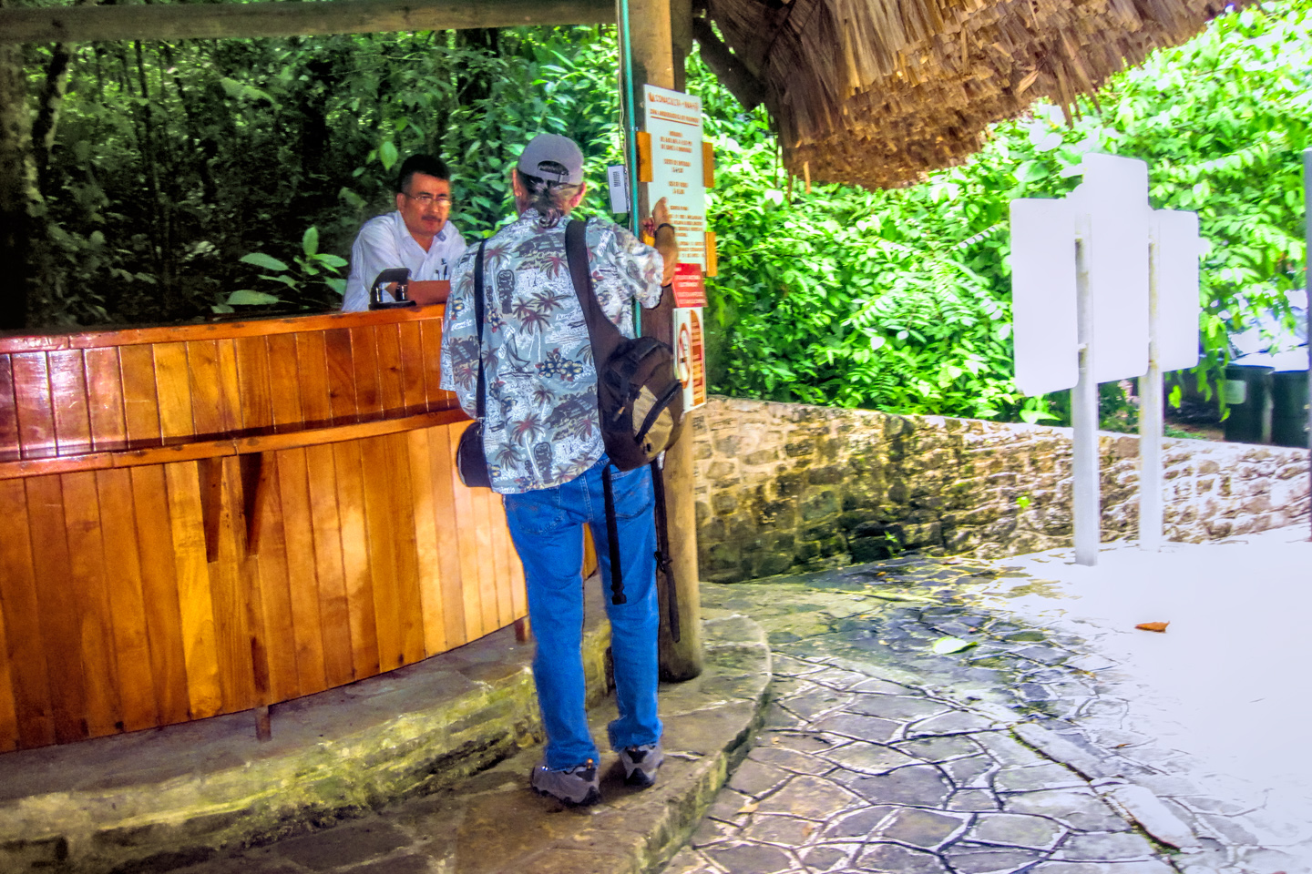
The Archeological Park was just minutes from the hotel, and we got there just as they opened the gates to the parking lot. Unlike our experience at Palenque, there were no hustlers lurking about, demanding payment for “keeping an eye” on my Jeep while we explored the ruins.
From the parking lot, the building where they sell the tickets looks a bit like the entrance to a shopping mall, or a multiplex, but the moment you step through the door, you’ll discover that it’s actually a time machine. That entryway is a portal to the world of the ancient Maya, a thousand years into the past.
CLICK PHOTOS AND MAPS TO EXPAND
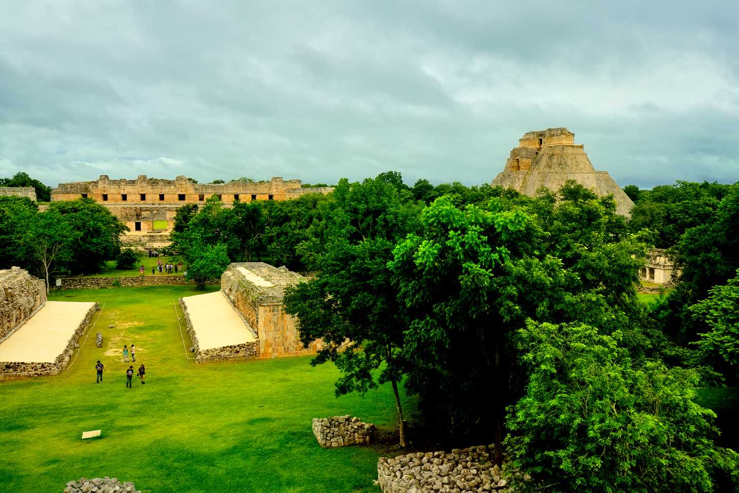
In its heyday, Uxmal was home to as many as 25,000 people, spread across a territory of several square miles. Today, there are building foundations, ruined temples, and other minor archaeological remains scattered about in every direction, much of it unexcavated, centered around a relatively small sector of the ancient city, the administrative and ceremonial complex at the heart of it.
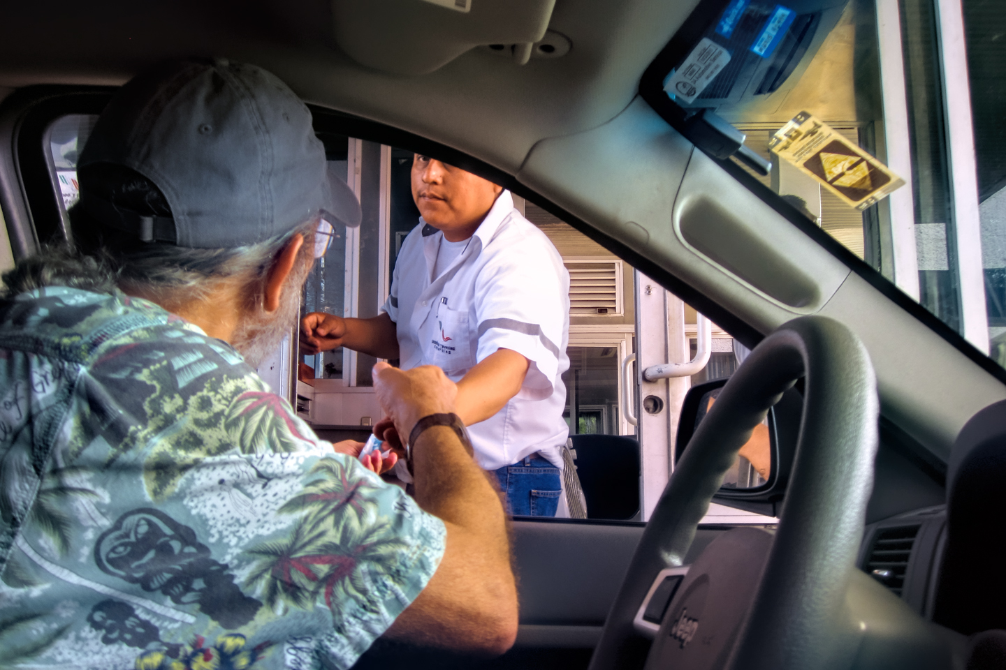
Back in 2015, we paid a buck and a half to park in the lot, along with our entrance fee of about $16 per person–twice what we paid at Palenque. (New taxes imposed by the State of Yucatan have raised that fee to a bit more than $30 per person in 2024.)
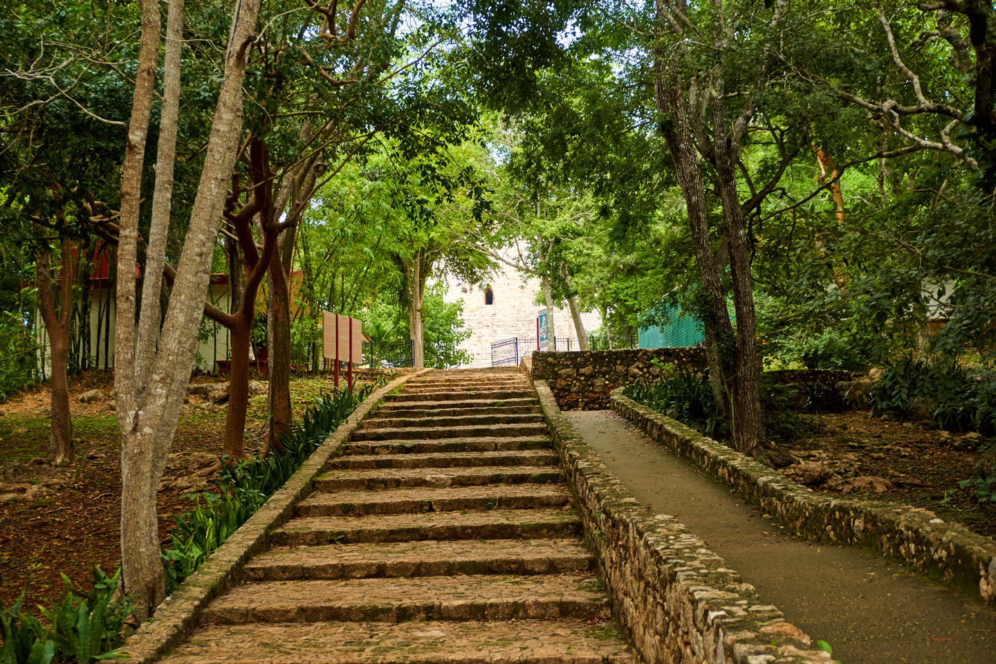
Walkway to the ruins, and a map of the archaeological zone
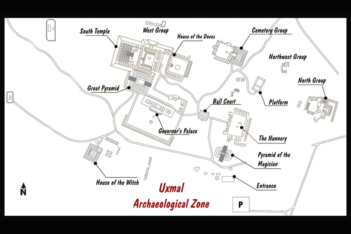
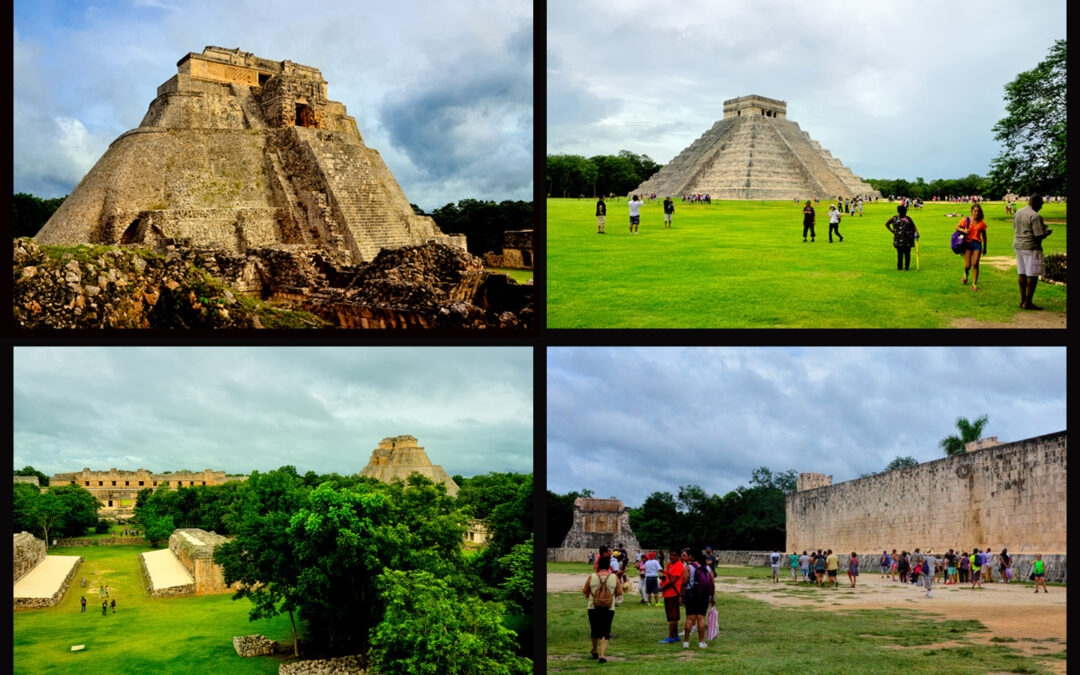
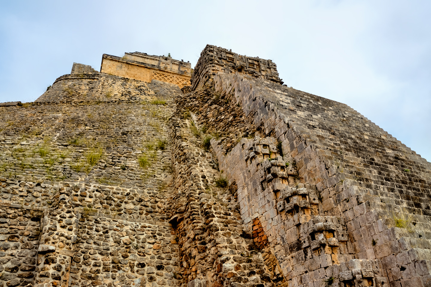
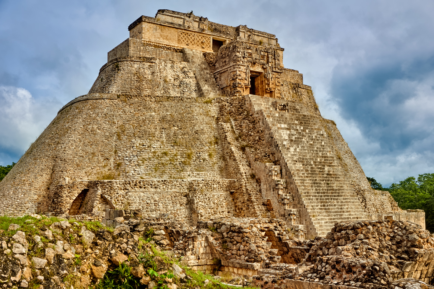
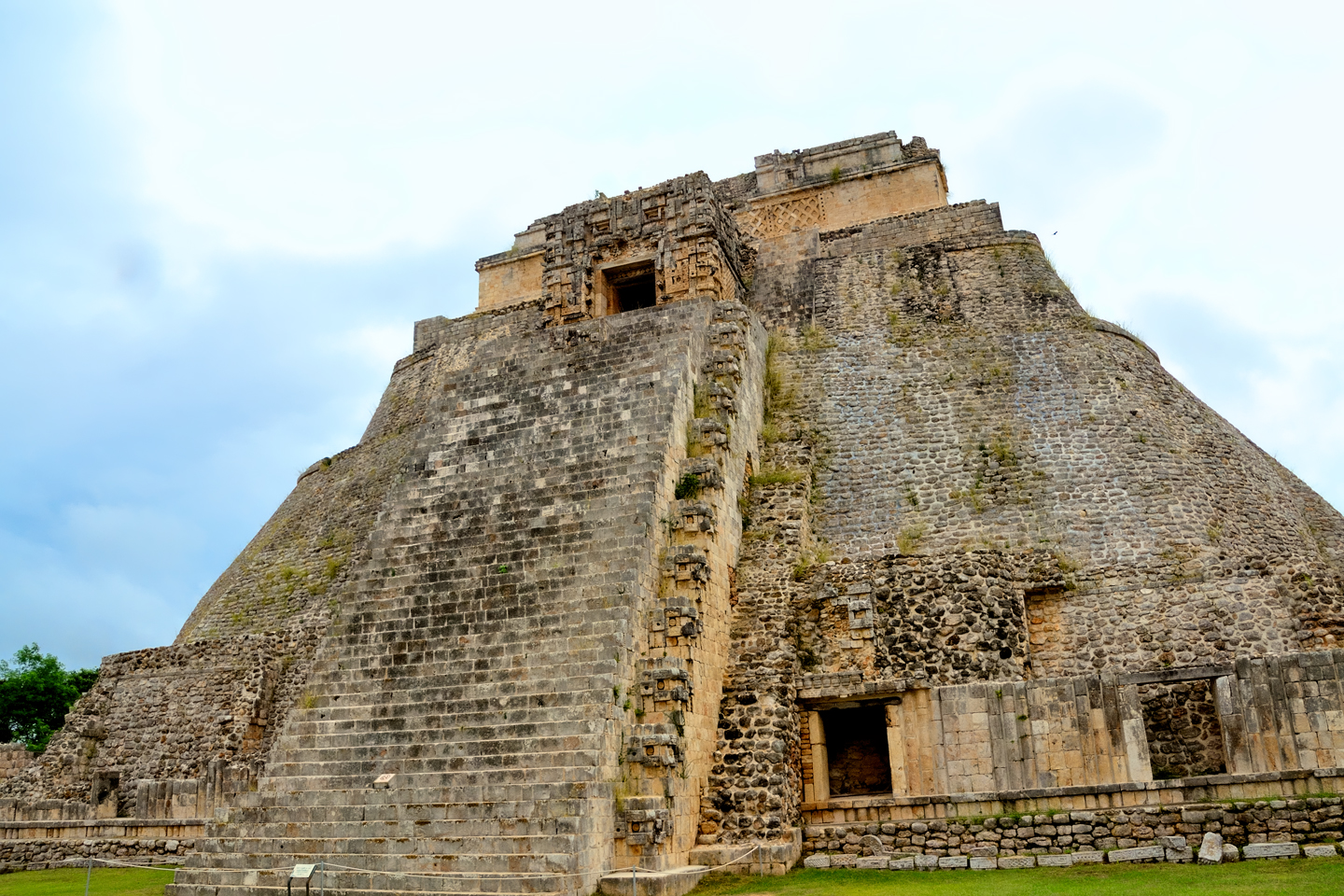
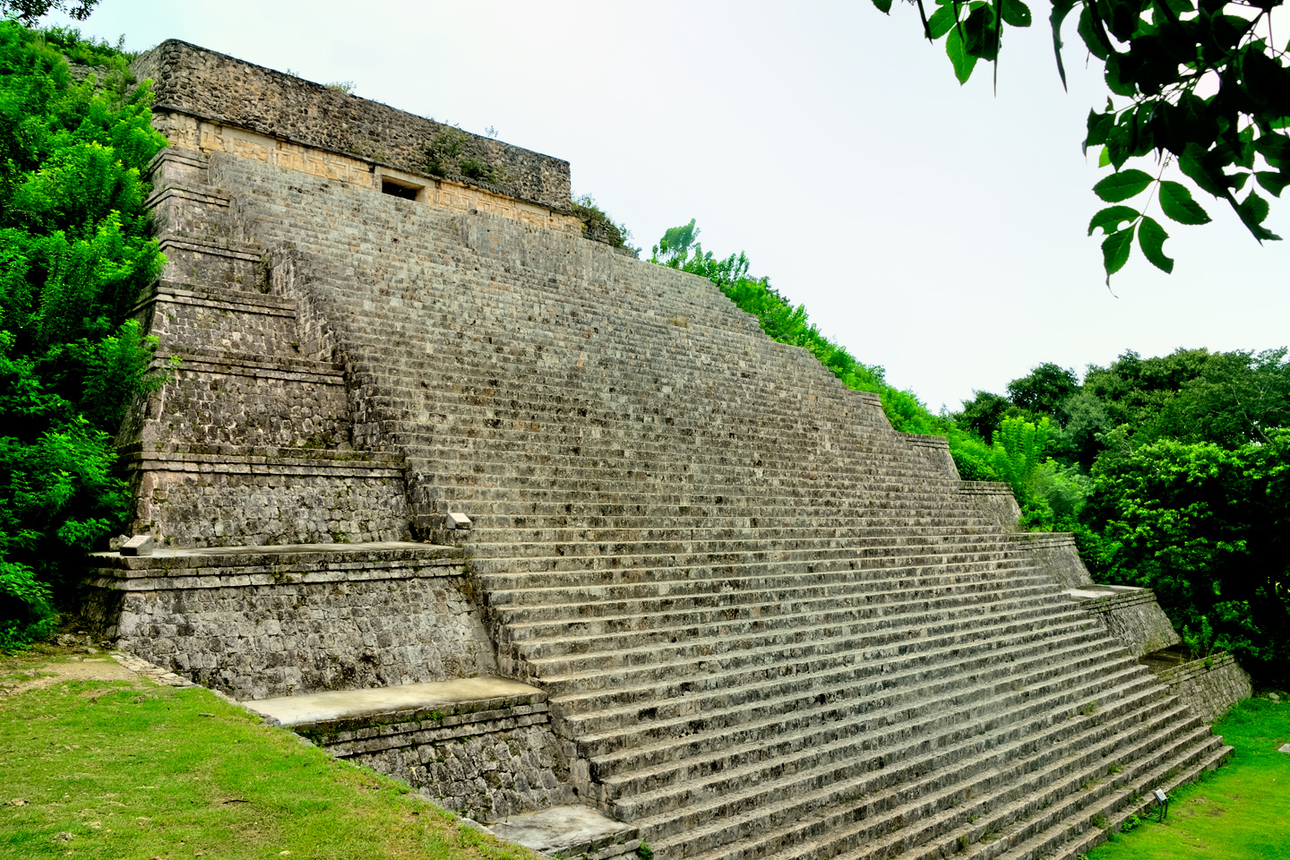
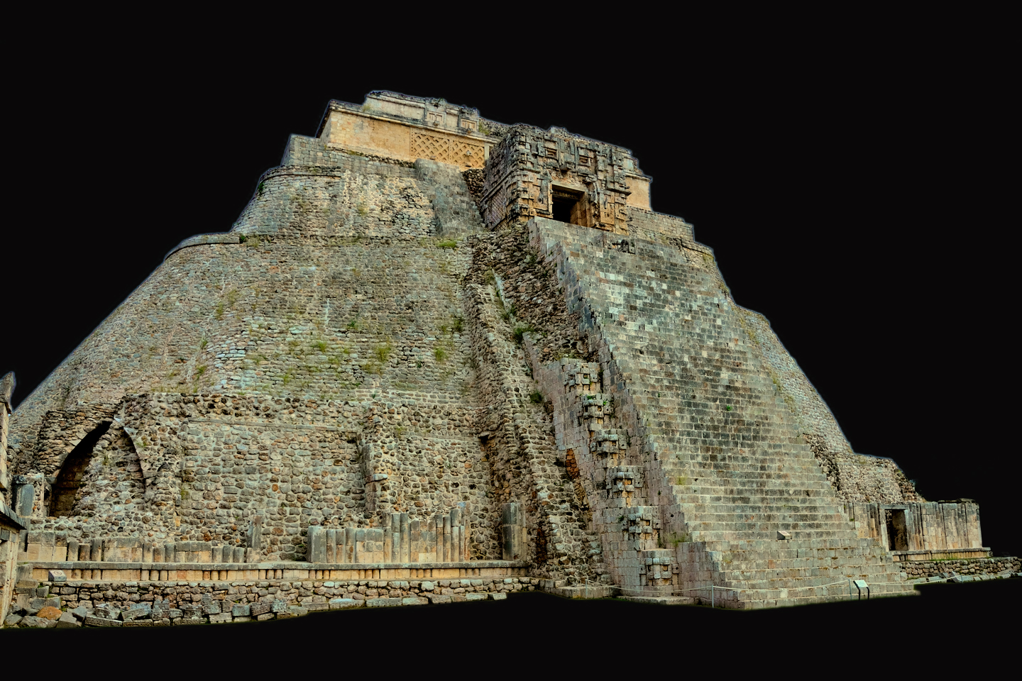
A tree-lined path with wide, shallow steps leads up a slight rise from the entrance, and the first thing you see after you walk out into the open is a pyramid, and not just any pyramid: rising 115 feet from an eliptical base, this thing is a monster, and what you’re looking at is the back side of it, which features a massive staircase climbing all the way up to the temple at the top.
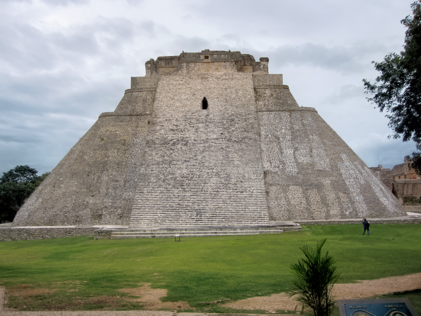
My first look at the Pyramid of the Magician. “Dwarfed” by the massive structure, I paused to take a quick photograph.
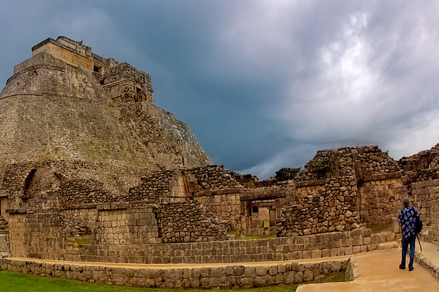
Several views of the Pyramid of the Magician, also known as the House of the Dwarf
Walking counterclockwise around the pyramid, you can see that it’s really five different temples built one atop the other. Legend has it that the structure was created in a single night by a magician, a dwarf with magical powers, but in reality, the building of it spanned several hundred years. I was in awe of that thing, deeply disturbed at the thought of all the lives used up during its construction, and all the blood spilled down those steps from the altars of human sacrifice at the top.
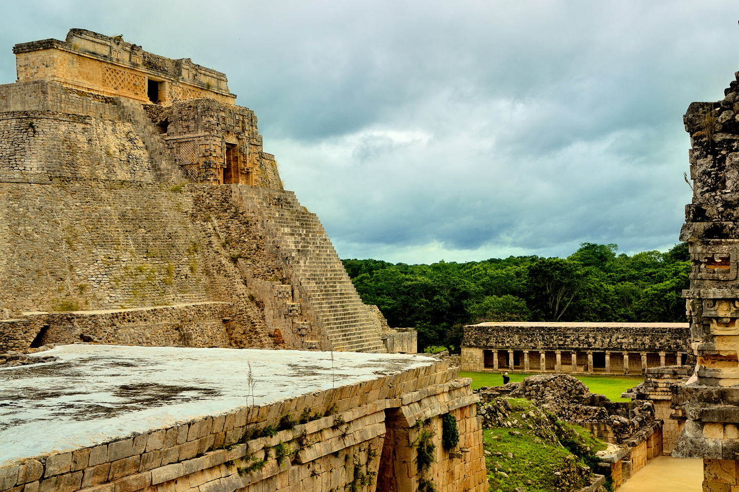
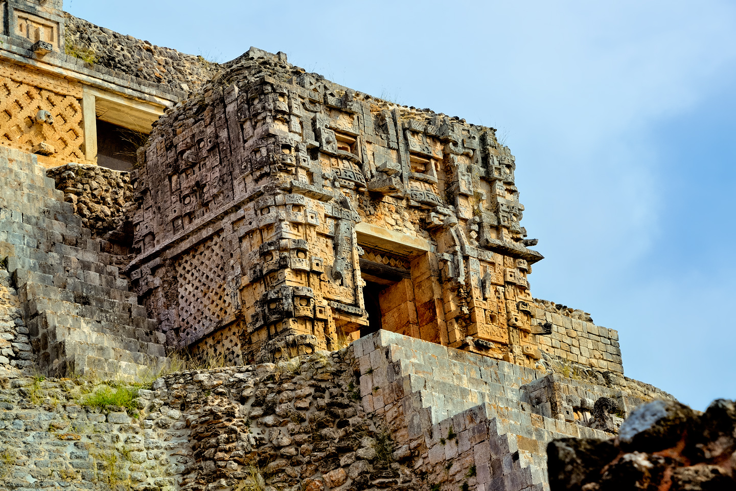
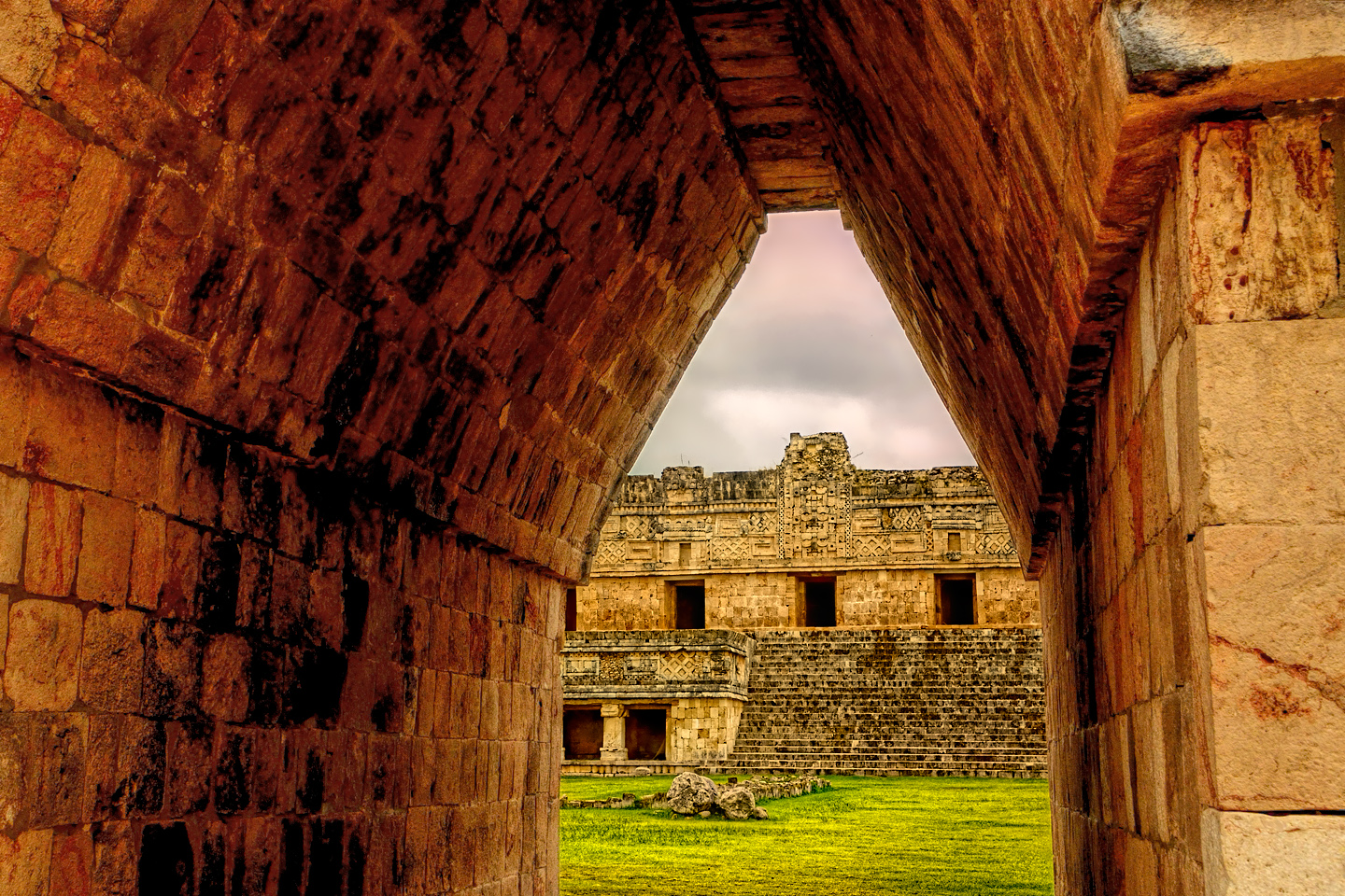
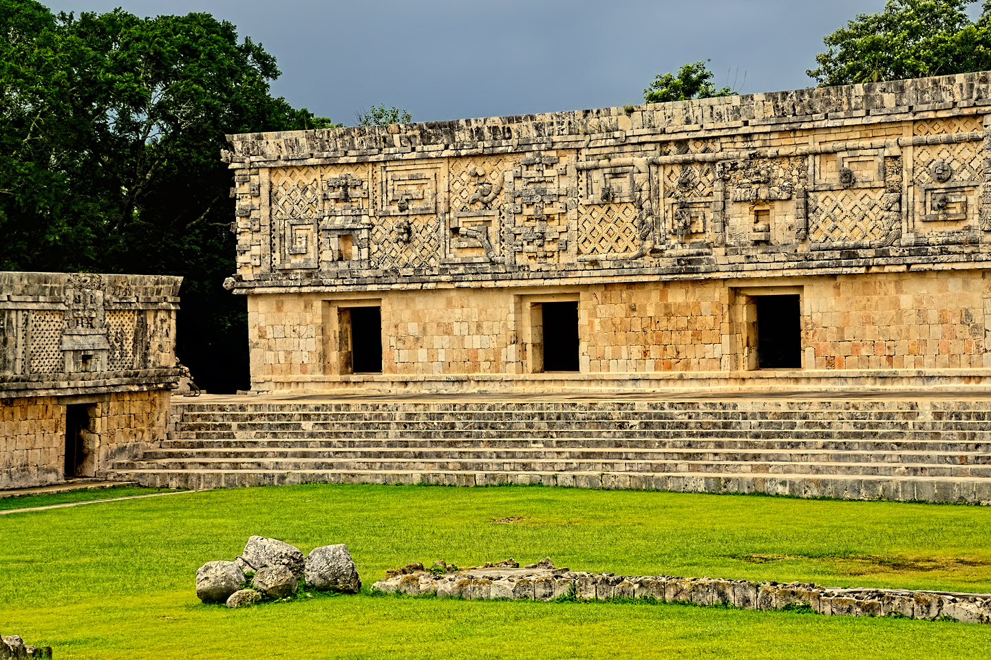
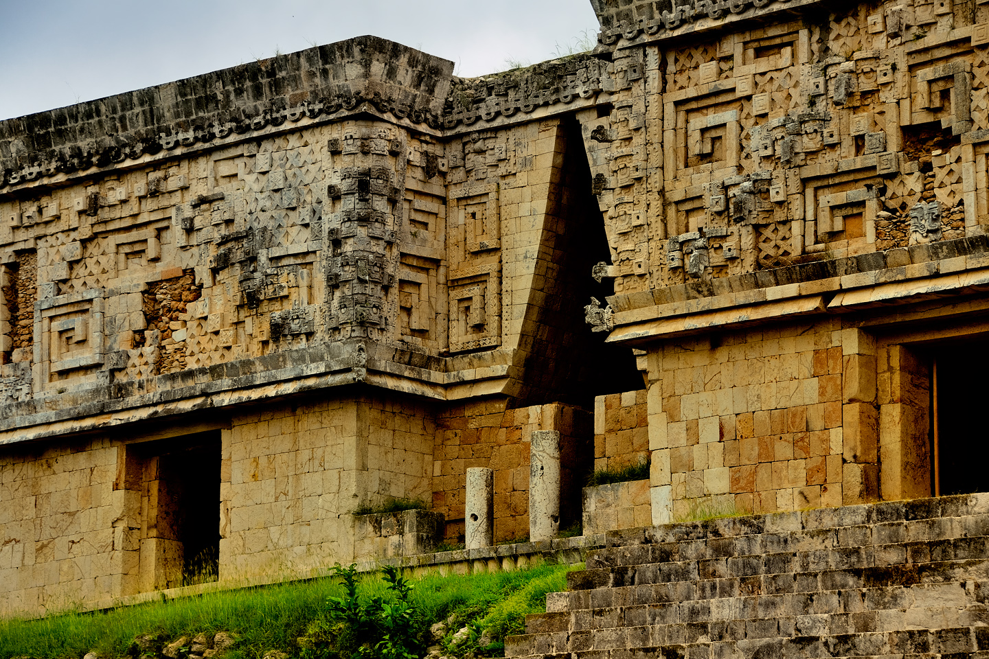
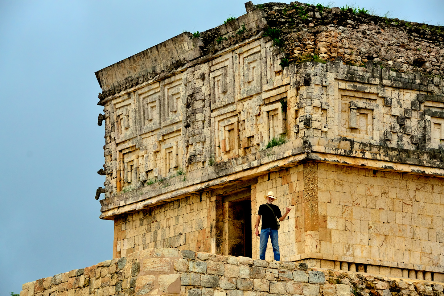
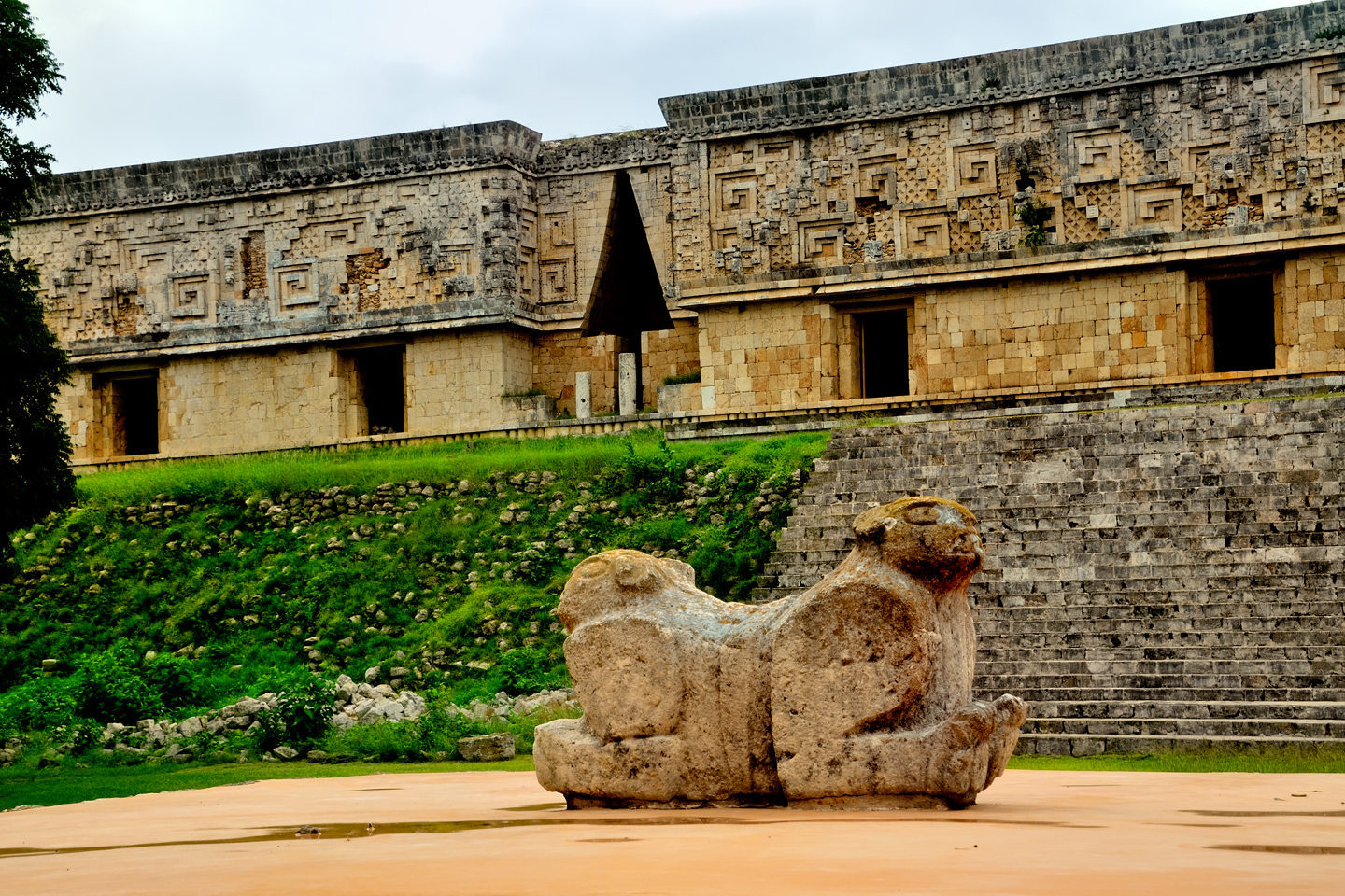
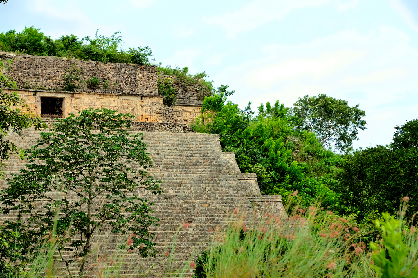
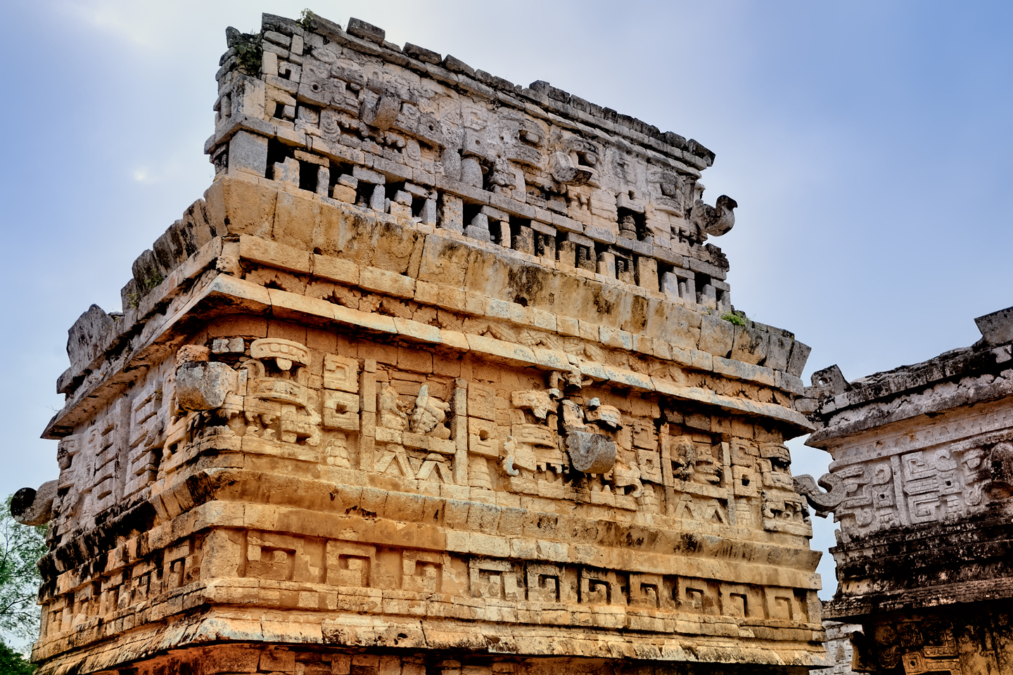
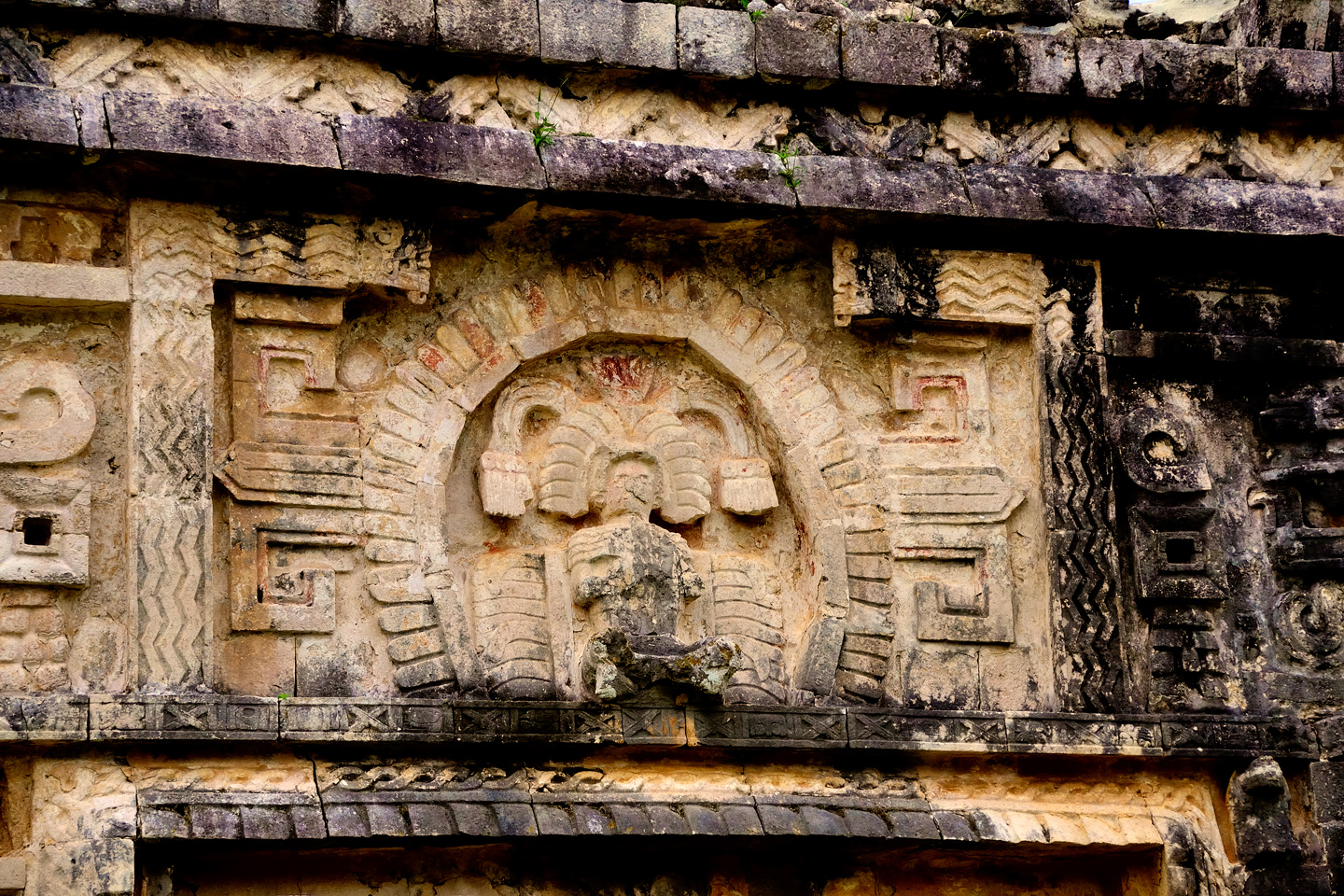
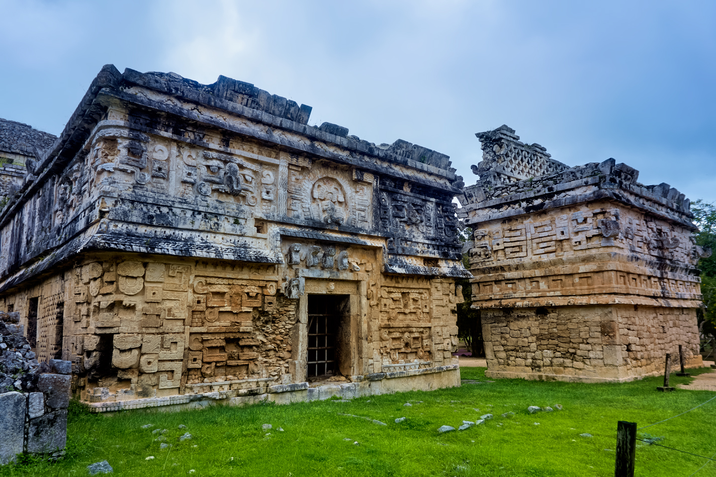
The area in front of the pyramid was a courtyard, a gathering place where the people once stood to watch the colorful, sometimes gruesome ceremonies taking place at the top of the structure. On the far side of the courtyard is a wall penetrated by an arch, and through the archway is another courtyard, this one known as the Nunnery Quadrangle. (The name was given by the Spaniards, who thought that the small rooms in the buildings resembled nun’s quarters in a convent.) The level of detail on the upper sections of these structures is extraordinary, a type of mosaic comprised of thousands of pieces of carved stone. This merger of art and architecture is known as the Puuc style, and Uxmal is where it developed, and reached its ultimate expression.
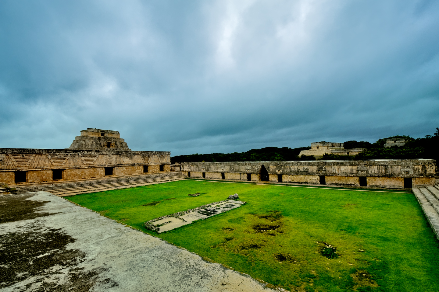
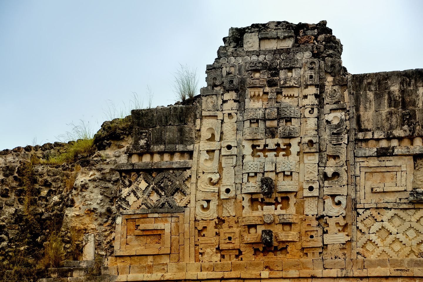
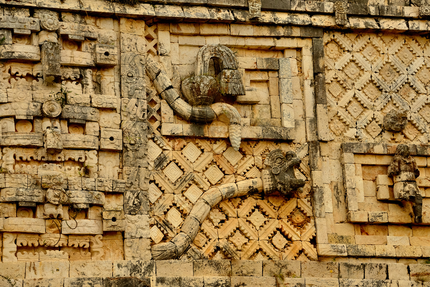
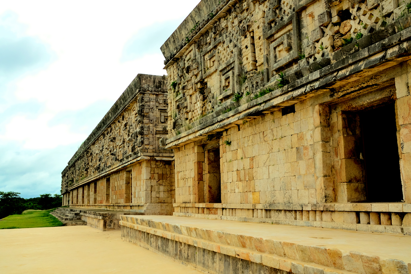
From the Nunnery, we made a beeline to the second most famous building at Uxmal: The Palace of the Governor (another name supplied by the Spanish, that might or might not reflect the original purpose of the structure). The Palace is actually three buildings joined together to form one massive edifice, 320 feet long, 40 feet wide, and 26 feet high. The mosaic frieze surrounding the upper section is 300 meters long, and was assembled from twenty thousand individually carved elements, some of which are as much as a yard long, weighing hundreds of pounds. Considering the complexity of the design, and the perfection of its execution, there are many experts who consider the Palace of the Governor to be one of the greatest architectural achievements of all time.
We spent the entire day exploring the ruins at Uxmal, and in that entire time, we saw no more than a few dozen other visitors. The “uncrowded” conditions at our hotel obviously carried over to the Archaeological Park, and I, for one, was loving it! Not that I have anything against my fellow tourists. It’s just that crowds have a way of spoiling the ambience at a place like Uxmal, and the fact that we had the place practically all to ourselves made the experience that much more enjoyable. I don’t know if this would be considered typical for mid-October; I think it’s more likely that we just got really lucky!
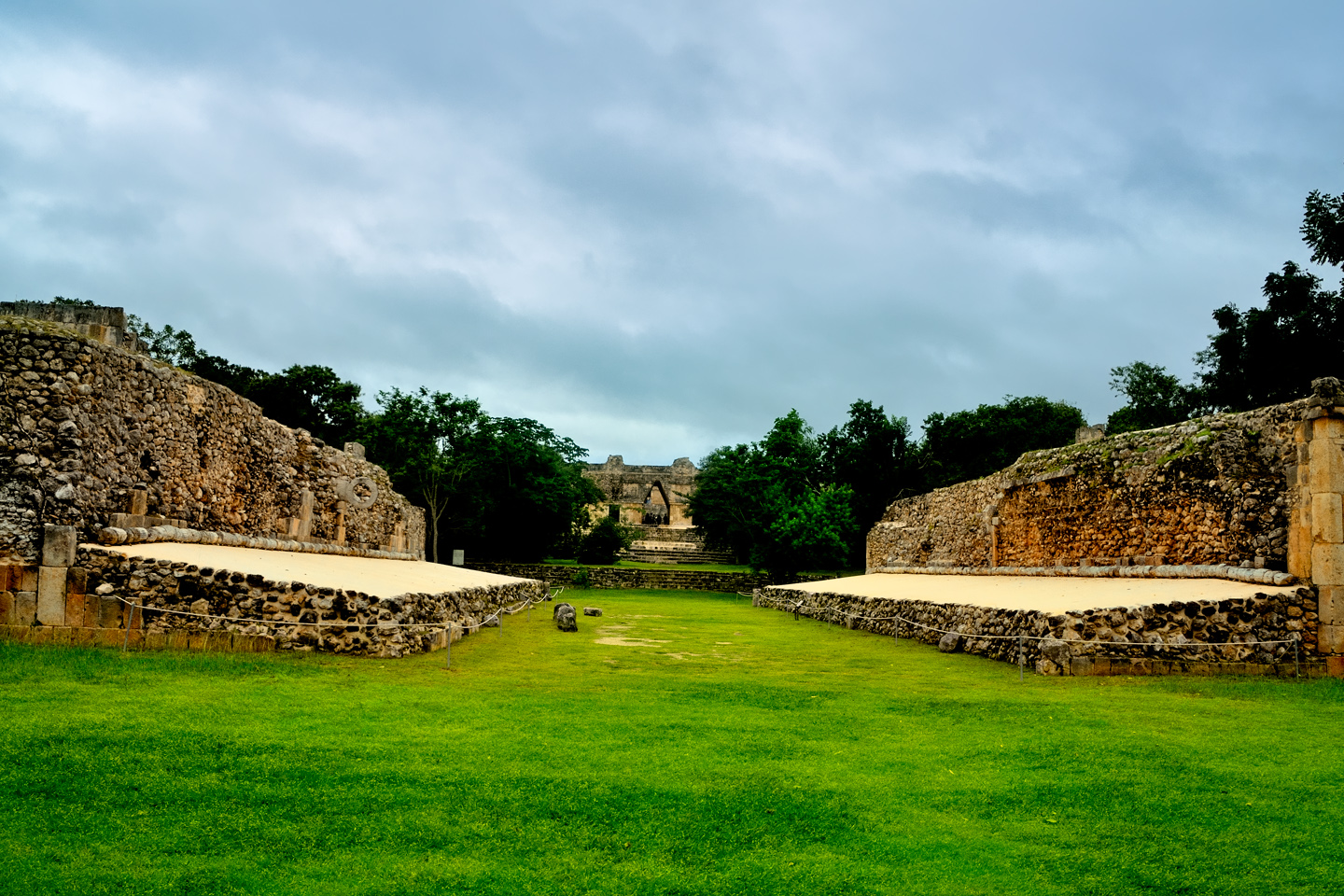
View of the Ball Court from the top of the Grand Pyramid. On the day we were there, we saw no more than a few dozen other visitors.
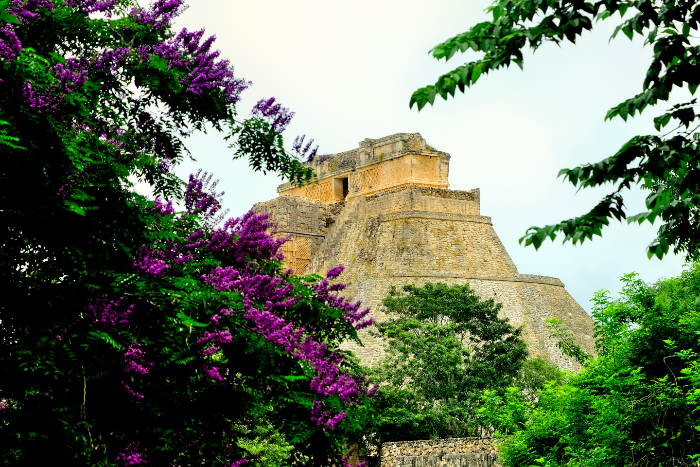
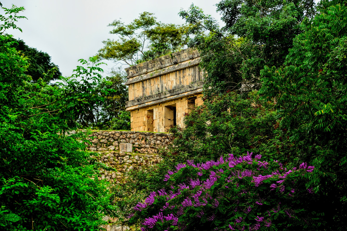
Flowering trees surround the temples and pyramids
The ruins are surrounded by thick tropical vegetation, and thanks to an especially wet rainy season, many of the trees were in bloom. Mayan cities are known to have been quite colorful, the buildings stuccoed and painted, many in bright shades of red. With a few rare exceptions, the pigment has long since flaked away, reduced to faint traces on the bare stone. I don’t know if the flowers are there at other times of year, but during my visit, they provided a beautiful contrast with the otherwise drab stone walls. The overall aspect of Uxmal is simply stunning, and the splashes of color from the flowering trees adds significantly to the beauty of it.
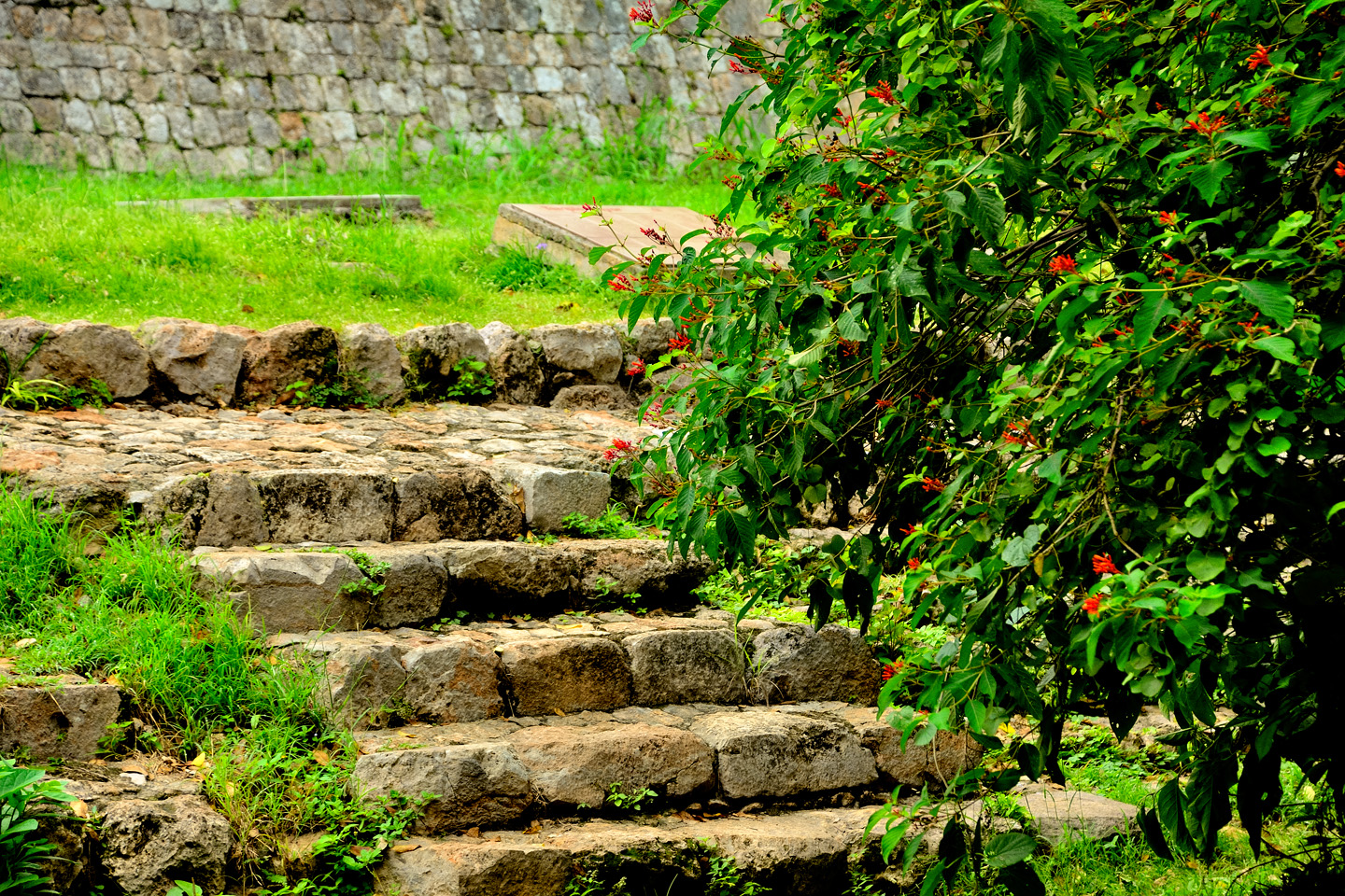
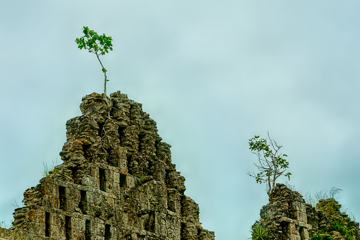
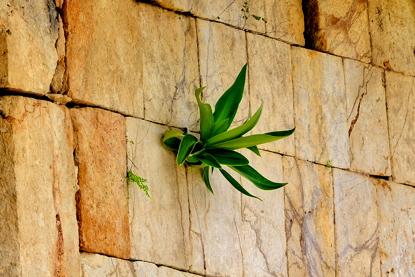
Like all Mayan cities, the jungle surrounding Uxmal is constantly encroaching, threatening to reclaim the ancient buildings. Uxmal has more funding and more staff than many of Mexico’s archaeological parks, but even with almost continuous maintenance, it’s impossible to keep up with the growth. Windblown seeds land in the cracks between the stones, and find just enough windblown soil to sprout. Add rain, and the next thing you know, you have tropical plants growing sideways out of the walls, faster than the landscaping crews can chop them away.
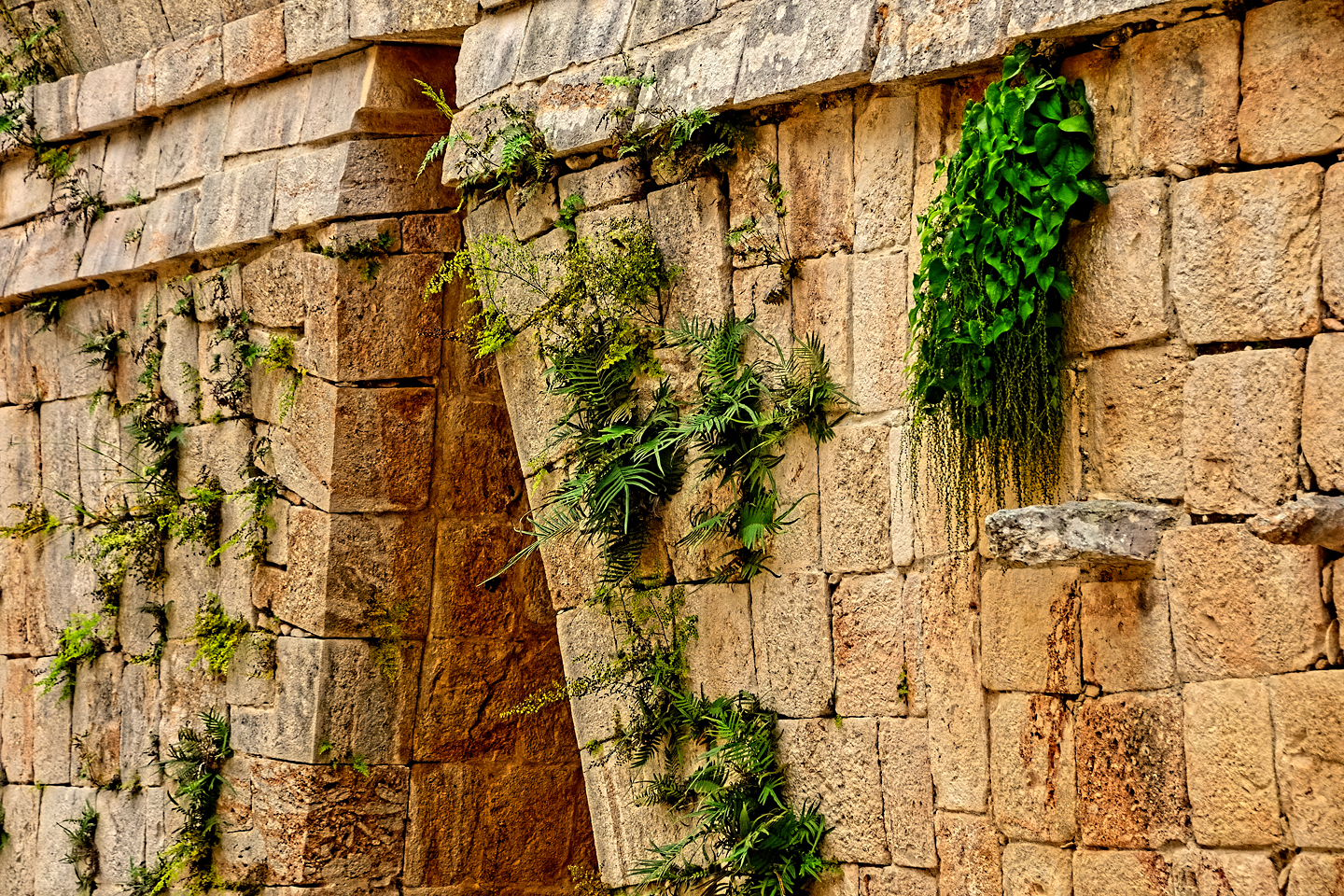
It takes no time at all for the jungle to reclaim these ruins
As impressed as I’d been with Palenque, Uxmal had that place beat by a mile. Everything about it seemed bigger, more elaborate, and our visit was perfect, with so few other tourists, and decent light for photos throughout the day.
The Great Pyramid, 90 feet high and 300 feet wide; in 2015, they still allowed visitors to climb it. As you can see, it’s damned steep!
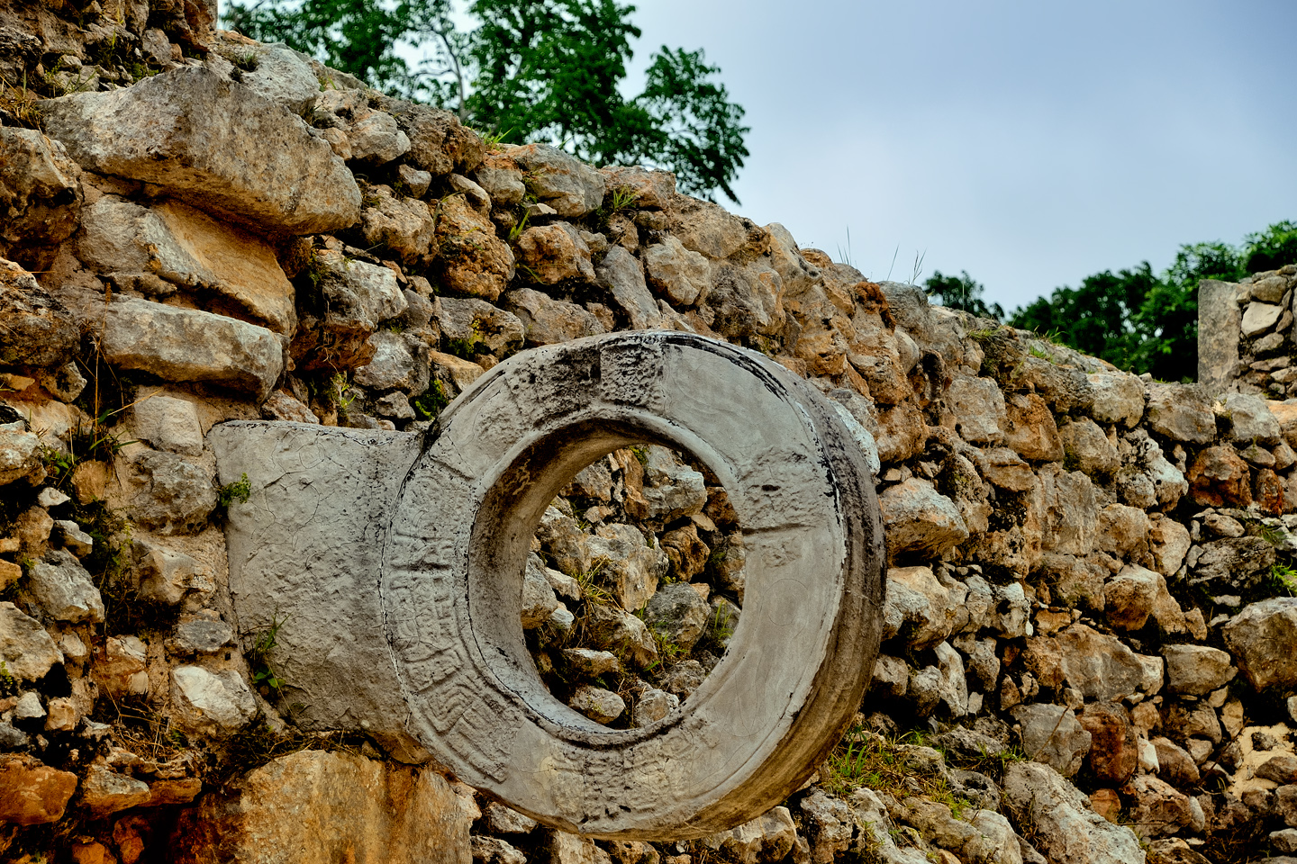
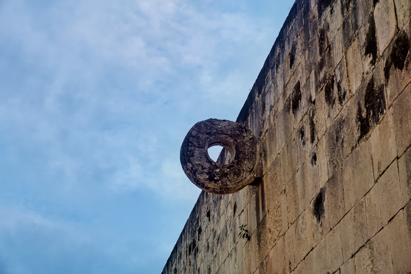
Uxmal had a court for the Mayan game, in which players knocked a rubber ball through a stone ring. (This ring is not the original!)
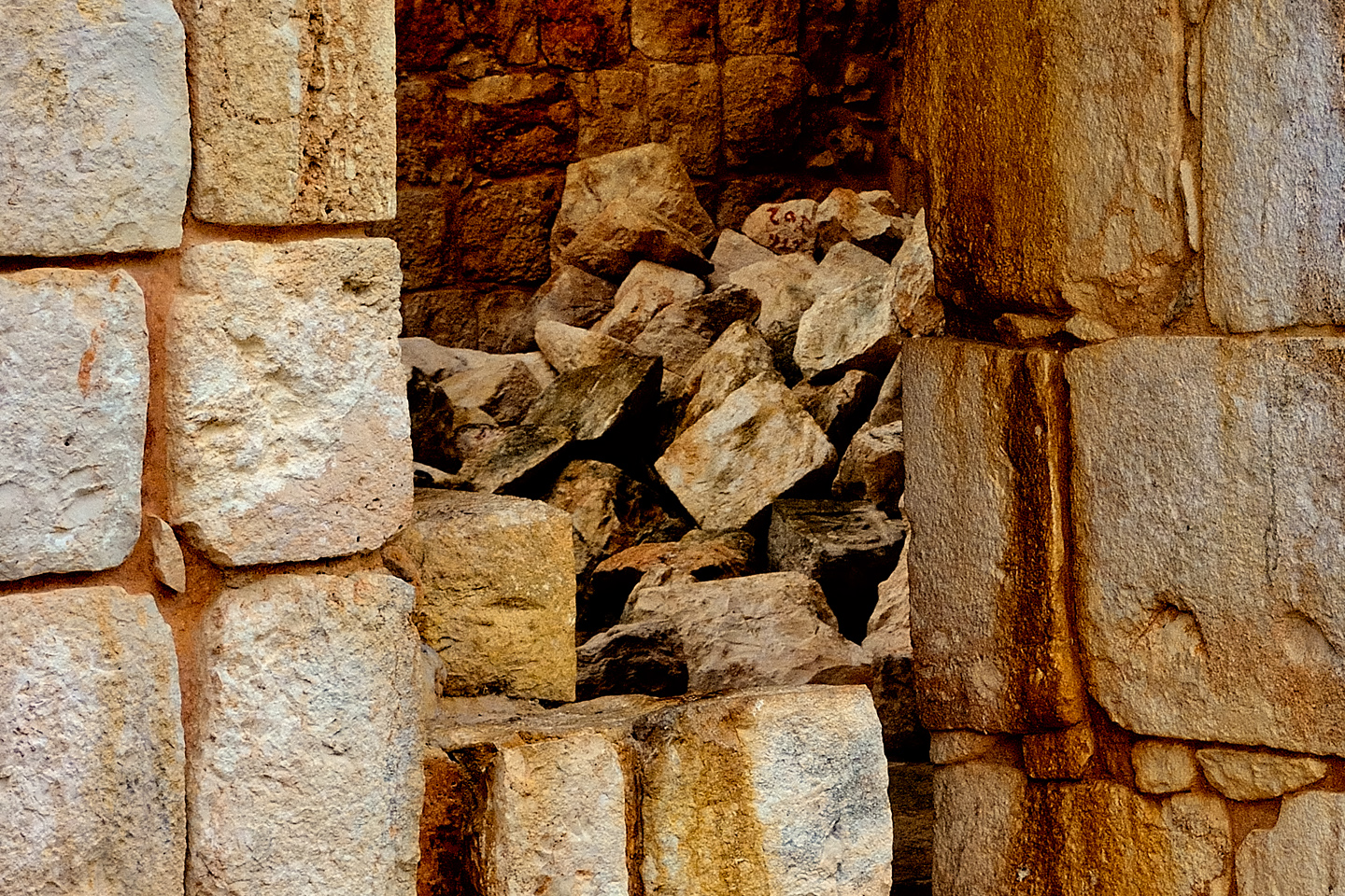
The restoration of the ruins is an ongoing process. In some areas, cut stone still litters the ground. These are modular segments that were mass produced for use in elaborate friezes.
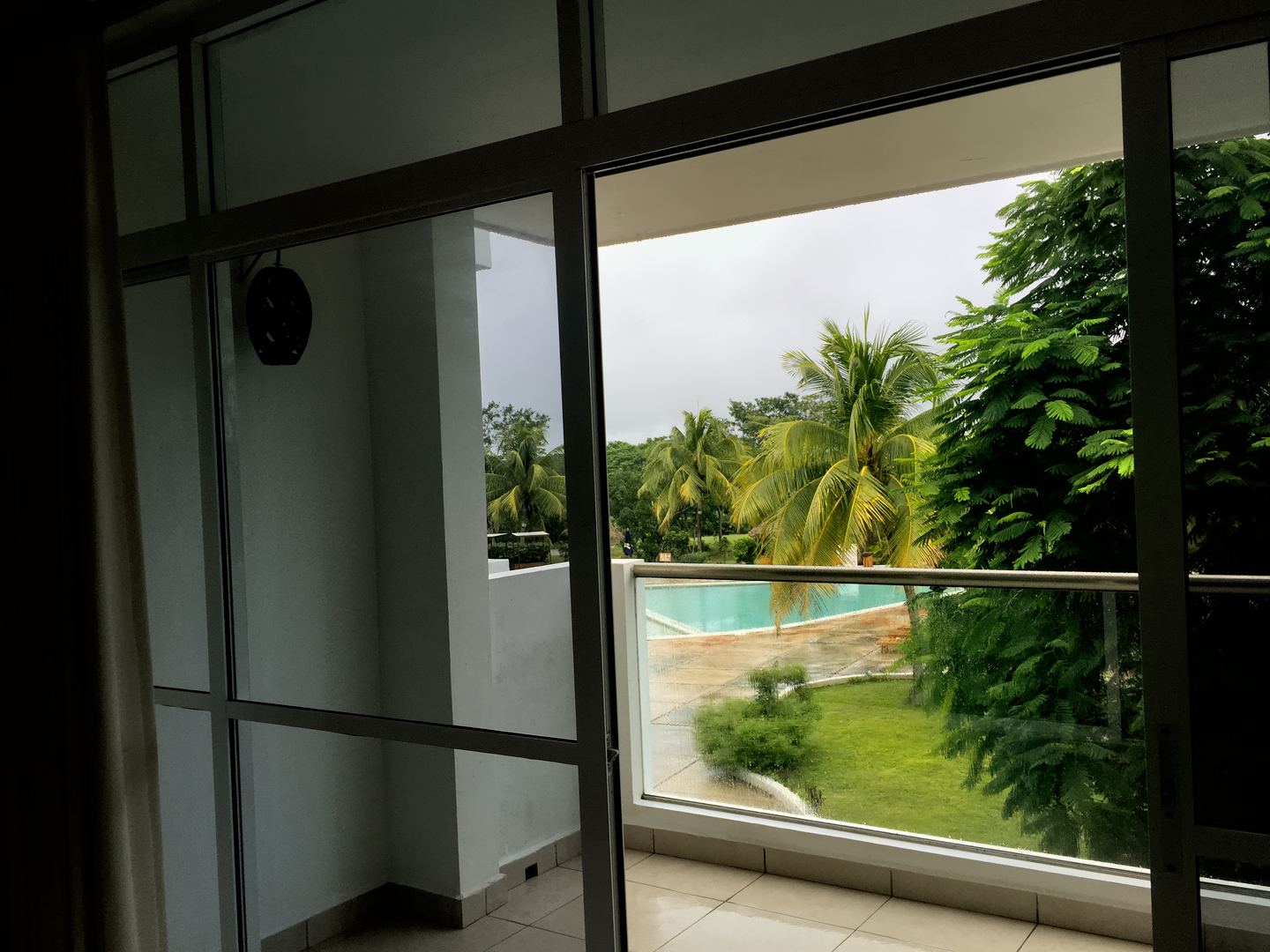
There was supposed to be a Festival of Luz y Sonido (Light and Sound), a sort of light show among the ruins with music and colored spotlights, scheduled at 9:00 PM. Unfortunately, it started pouring rain, right after we finished our dinner, and they ended up cancelling that evening’s performance. We hung out in our room instead, with our sliding glass door opened wide, content to watch the rain as it churned the water in the swimming pool into froth.
If I’ve piqued your interest about Uxmal, and you’d like more information, you might be interested in reading my earlier post: Uxmal: Architectural Perfection in the Land of the Maya. There’s more of everything, especially the history of the site, and there are many (many!) additional photos.

DAY 10: Moving on to
Chichen Itza!
Does it really live up to the hype?
Or is Uxmal actually more impressive?
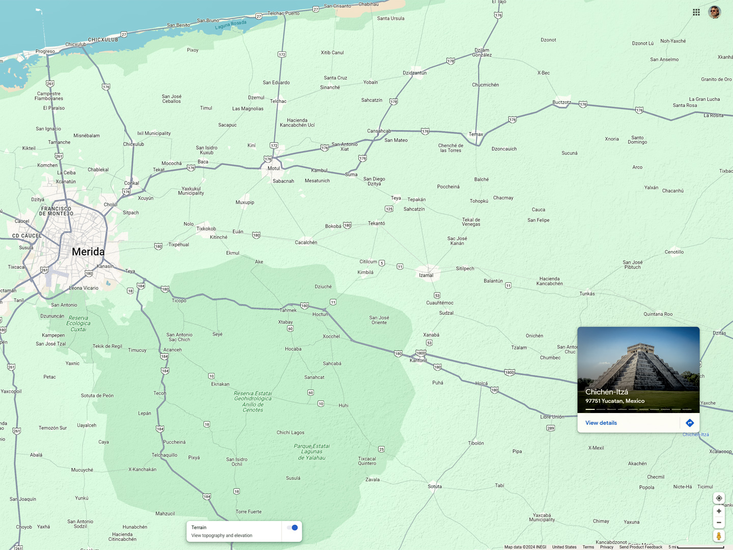
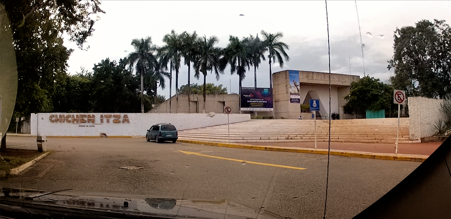
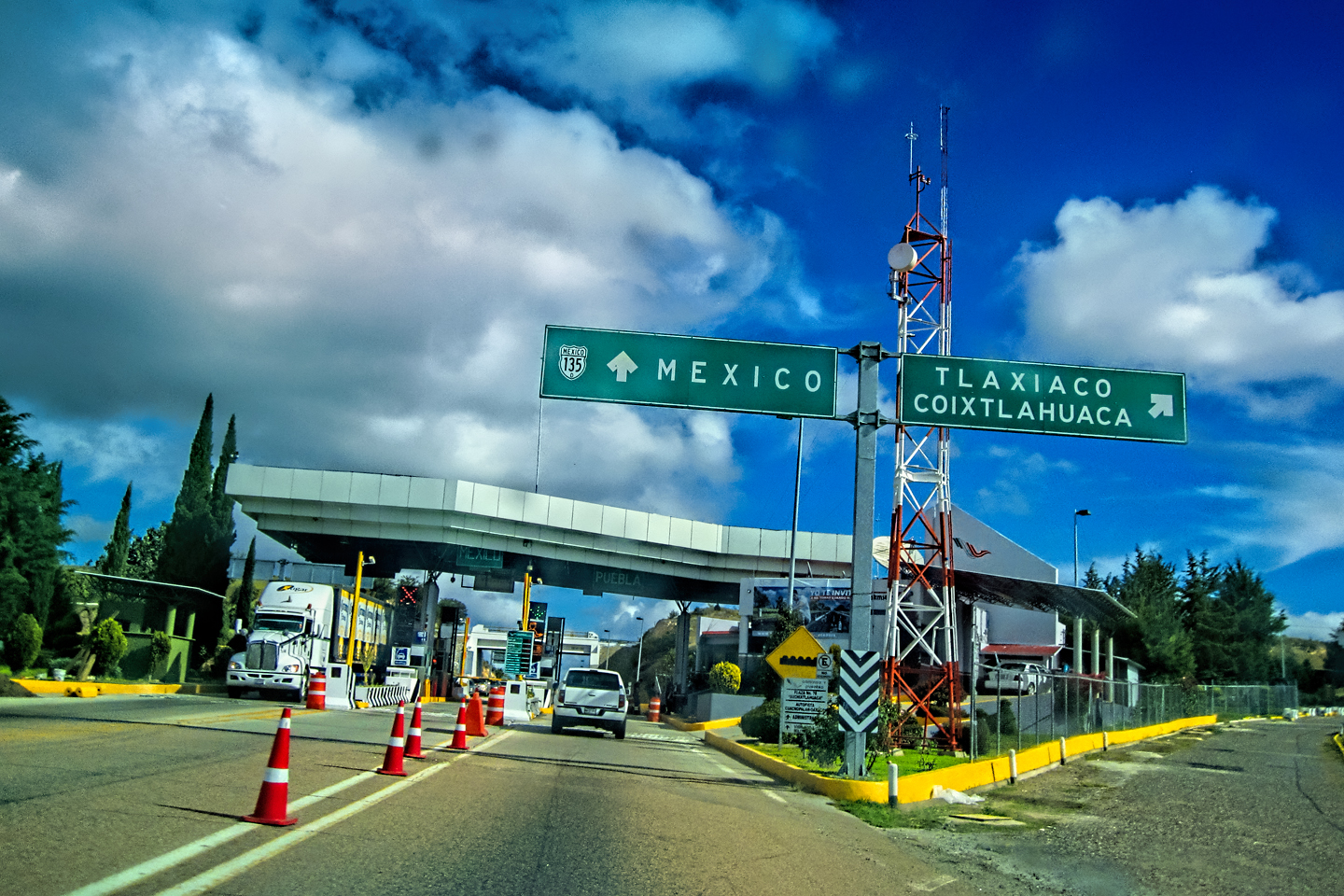
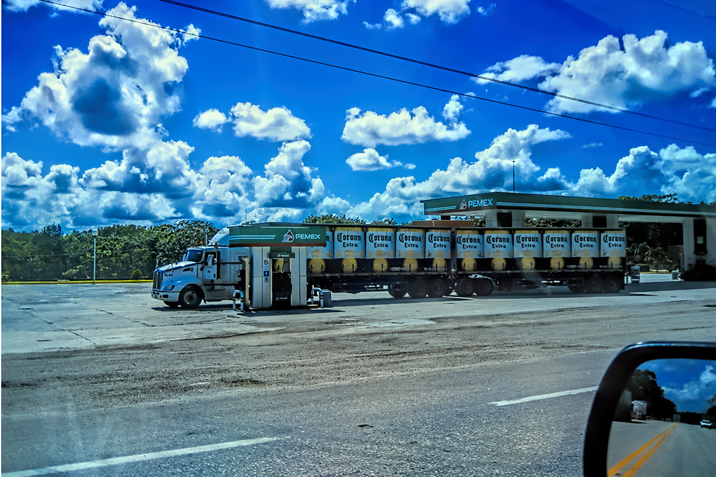
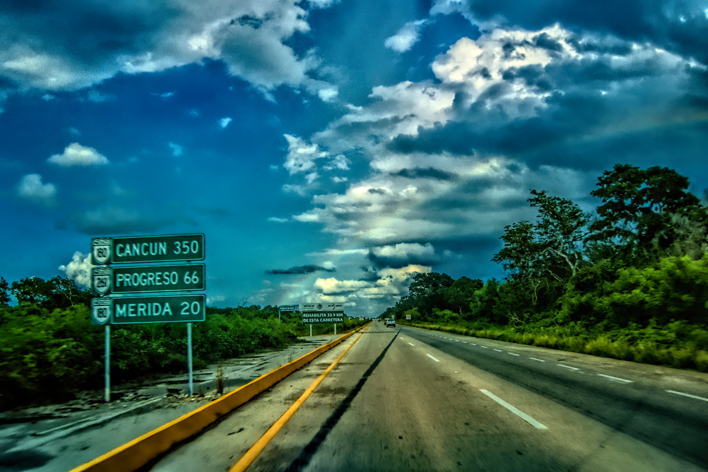
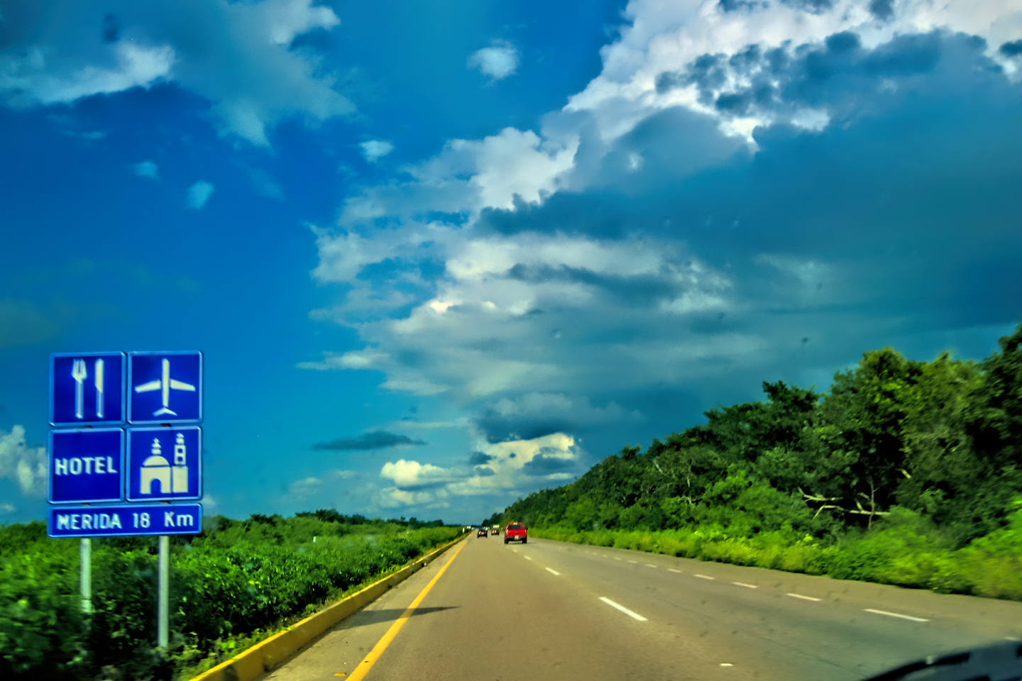
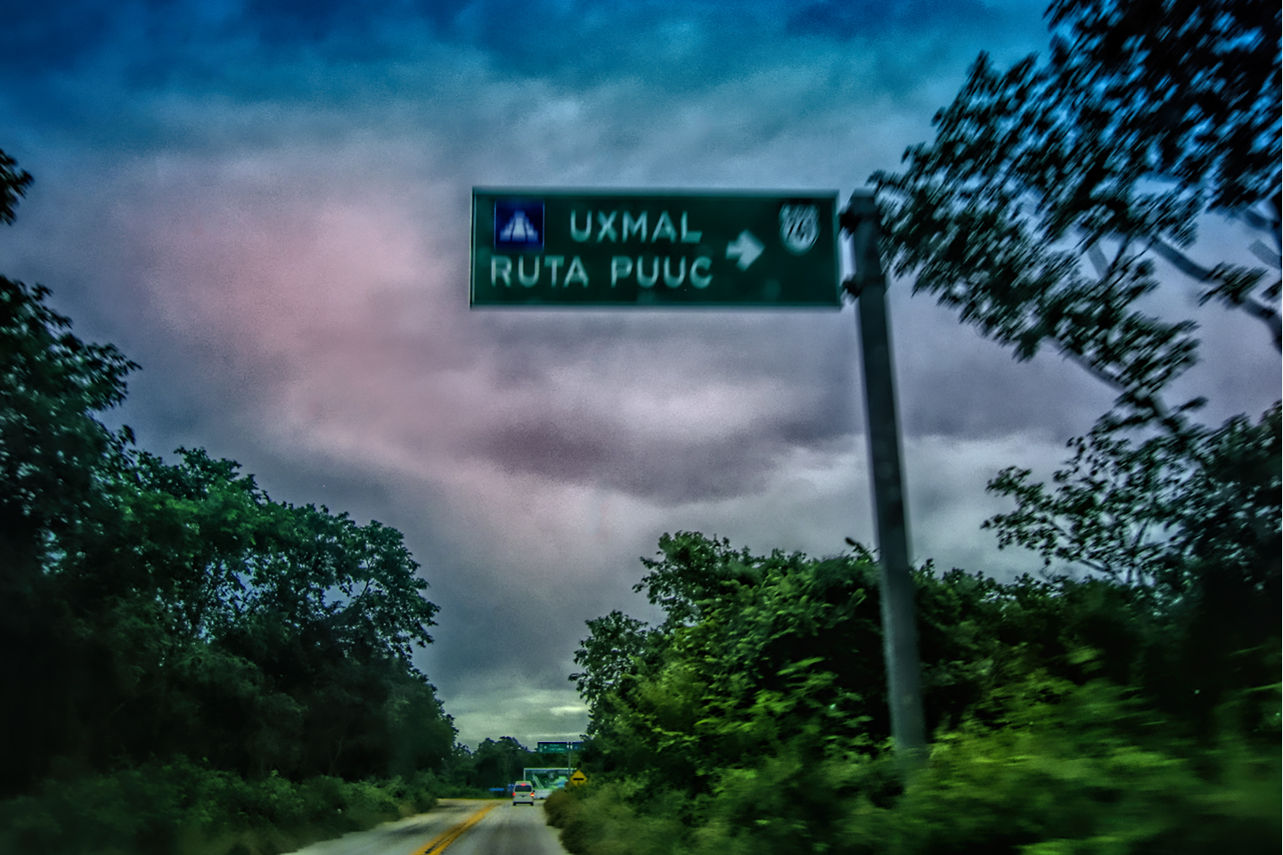
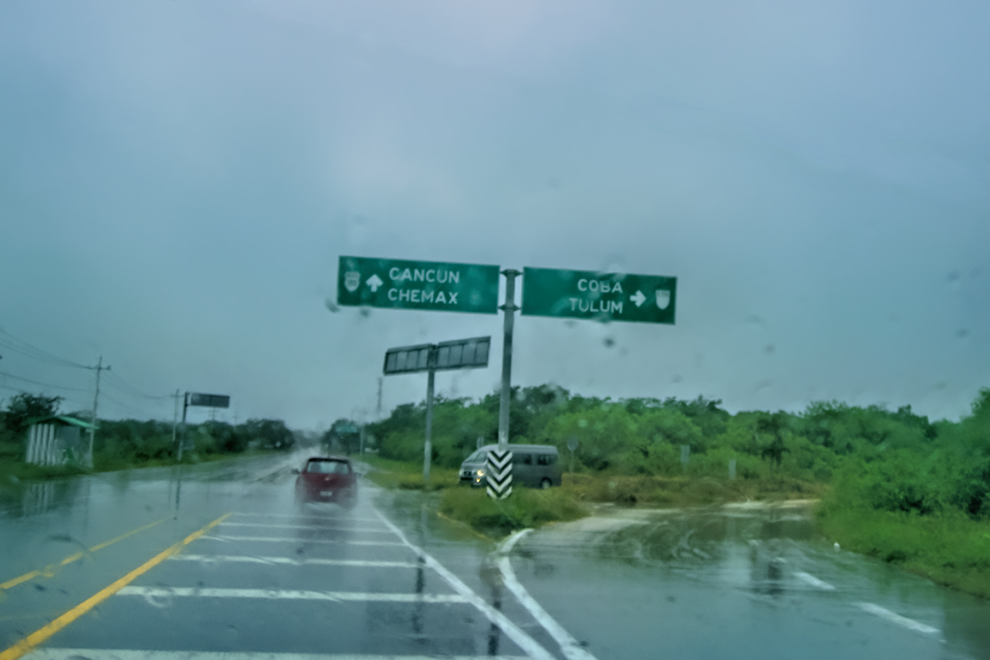
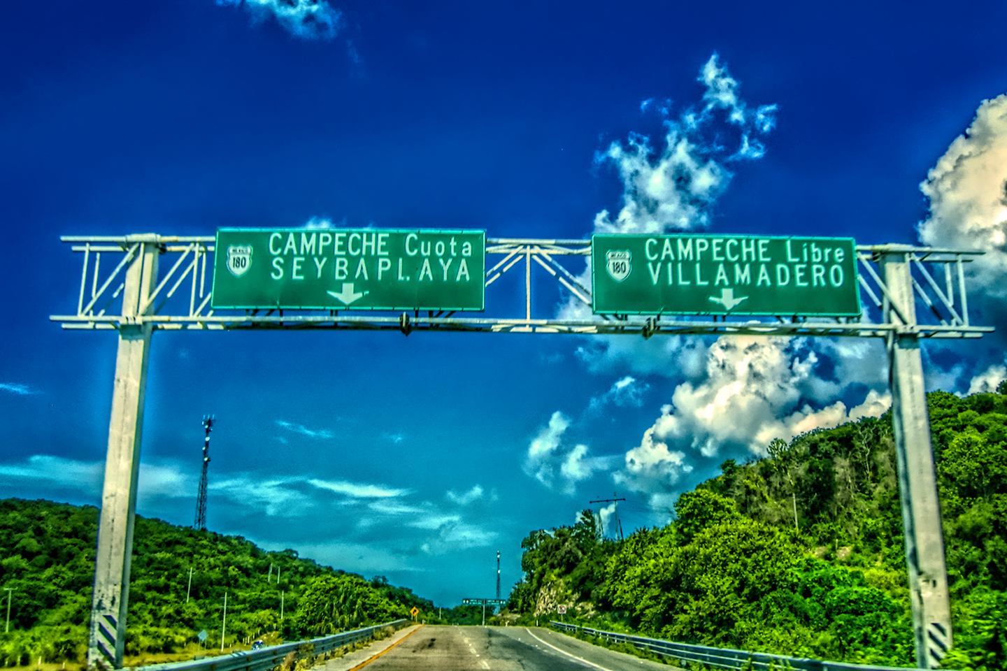
The morning of our tenth day, the sky was solid overcast and threatening rain, so there wasn’t going to be any morning light that might have made it worth going back to Uxmal for more photos. But that was okay. Our visit the day before went so well, there was really no need, so we checked out of our hotel right after breakfast, and set our sights ahead to our next major stop: Chichén Itzá! To get there, we reversed course on MX 261, back through the outskirts of Merida, and then headed east on MX 180, the well paved, mostly divided highway that leads from Merida to Cancun. The ruins are located more or less halfway between the two.
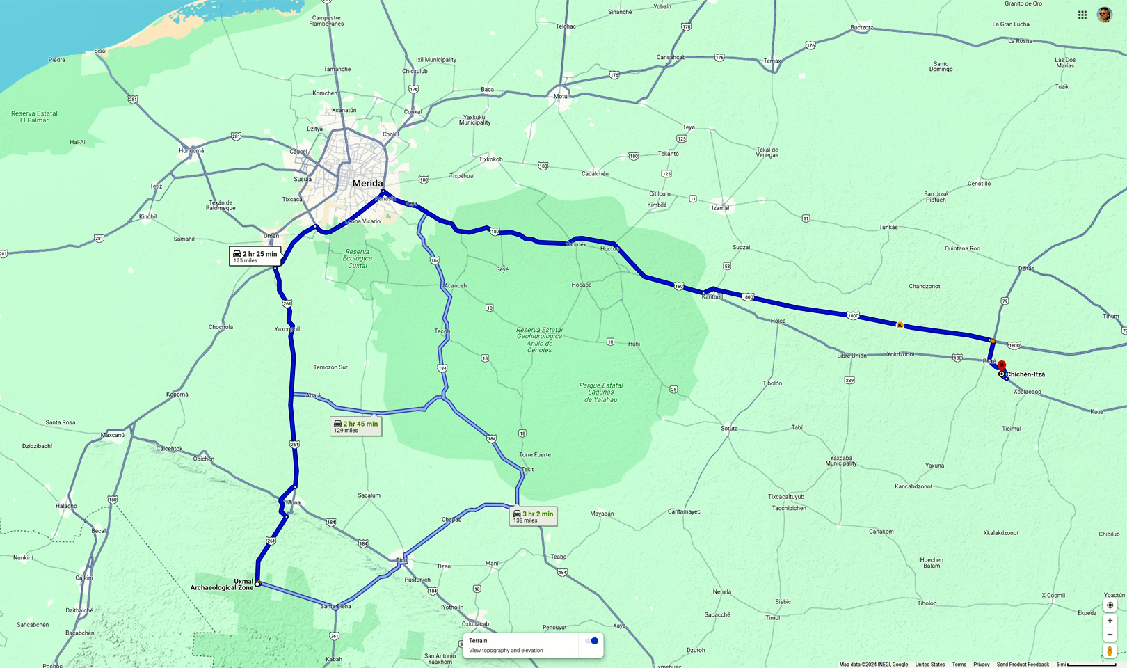
The route from Uxmal to Chichén Itzá
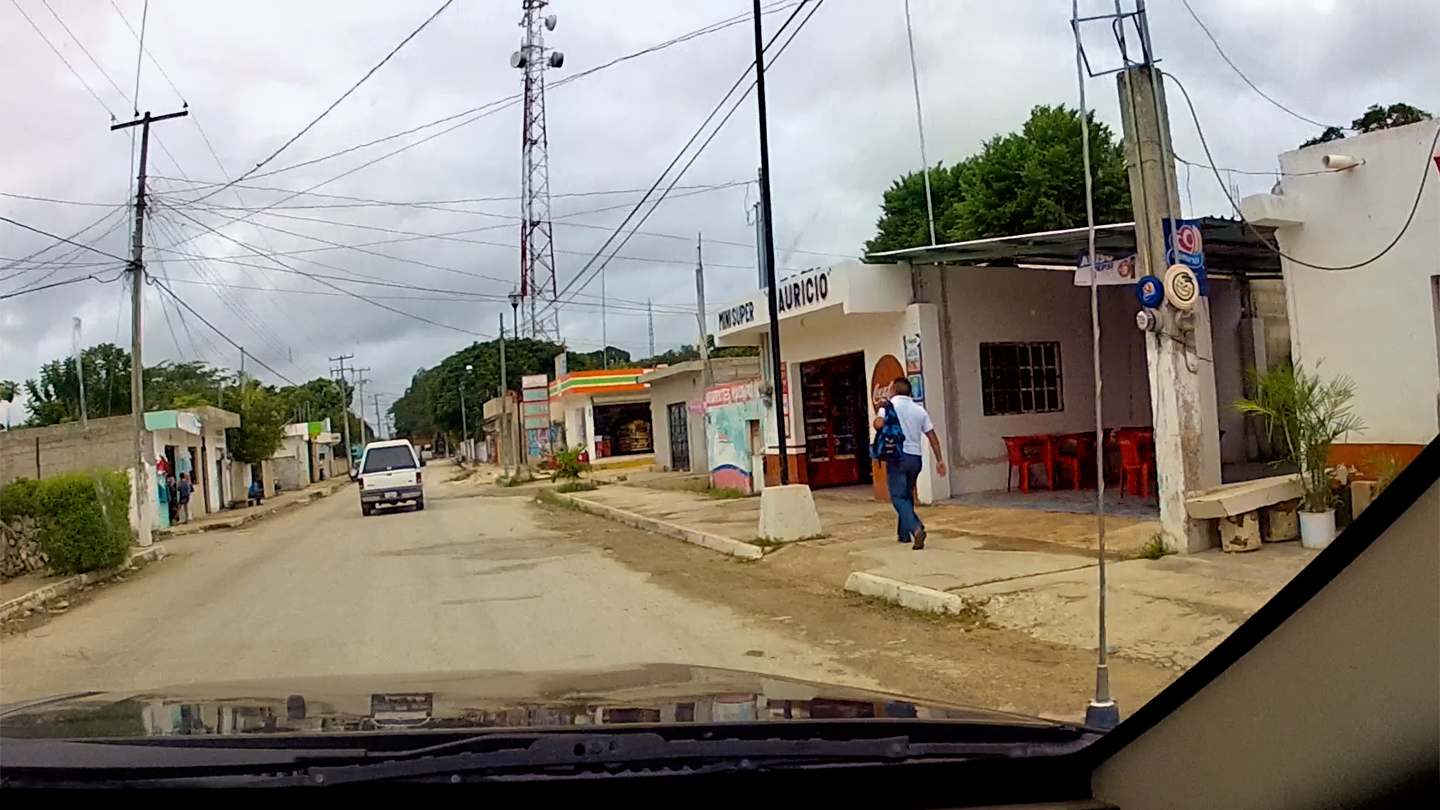
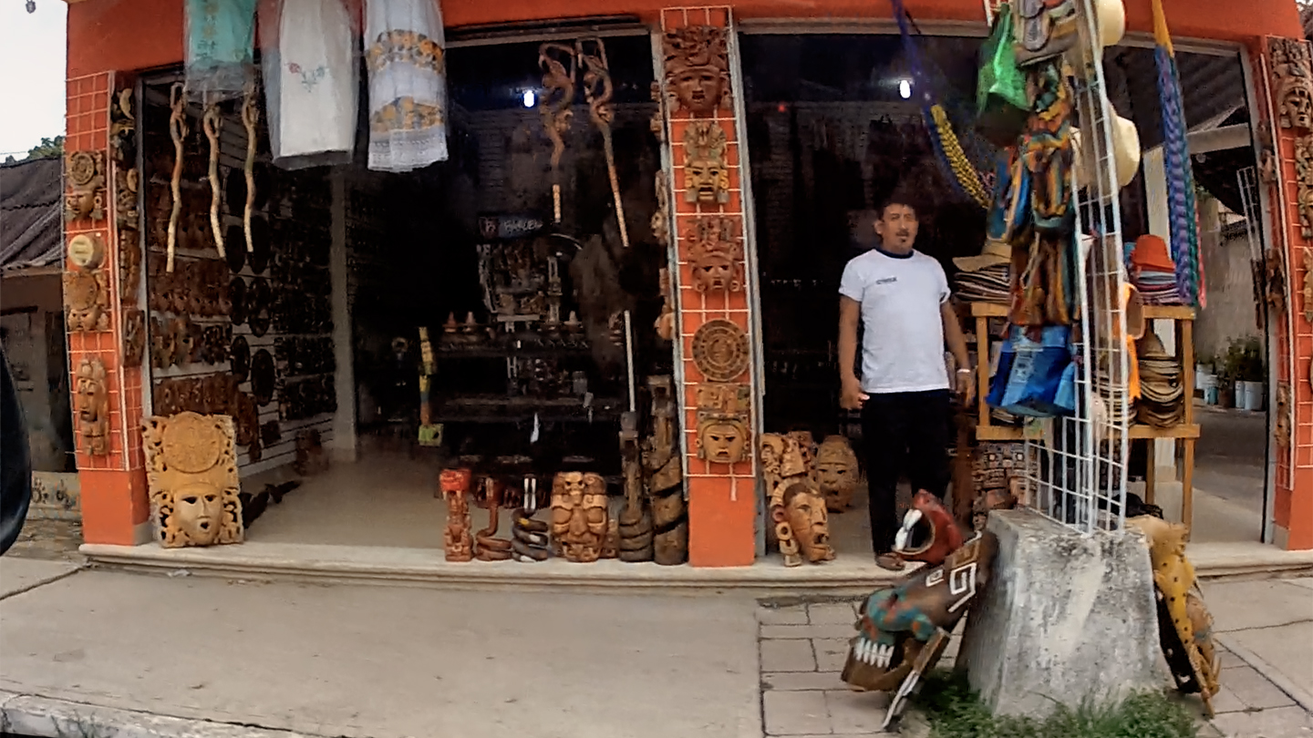
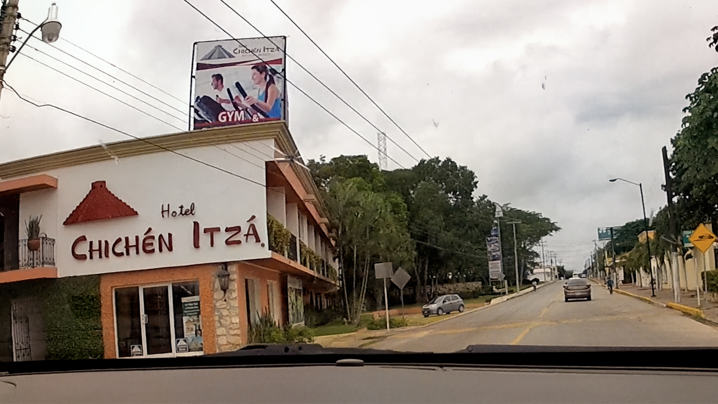
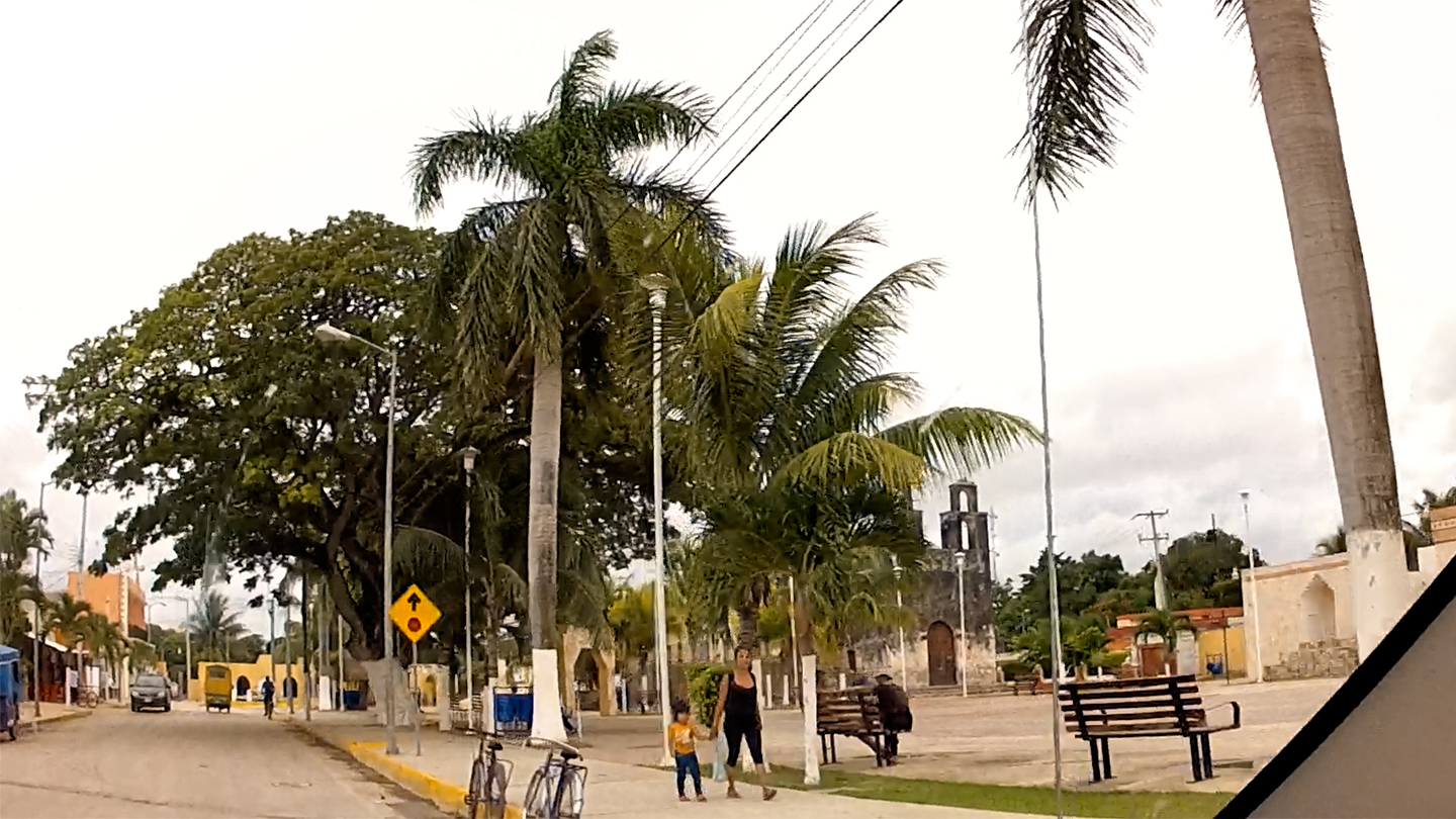
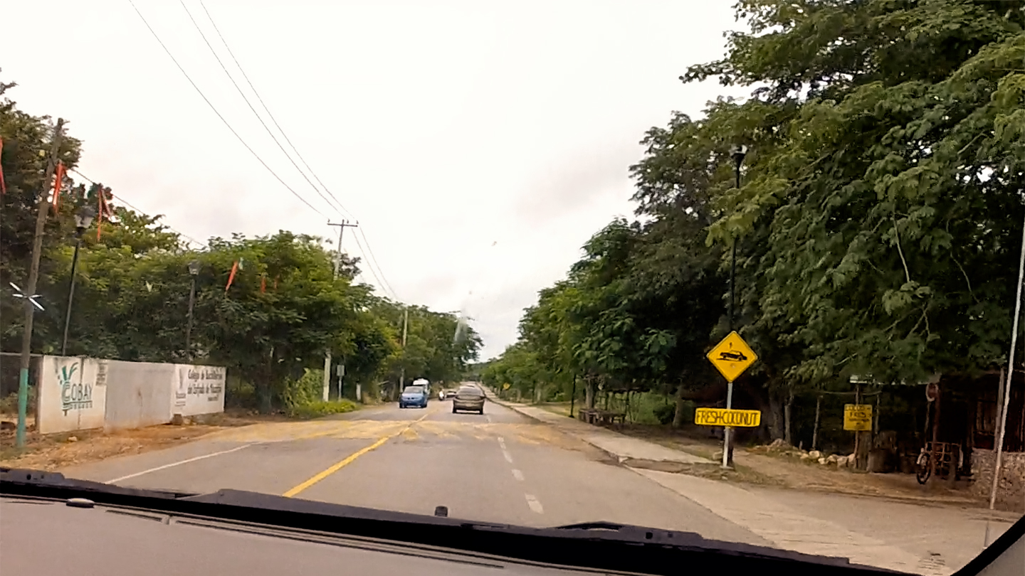
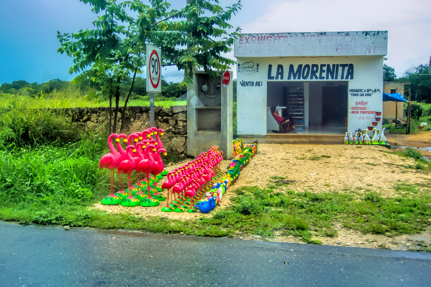
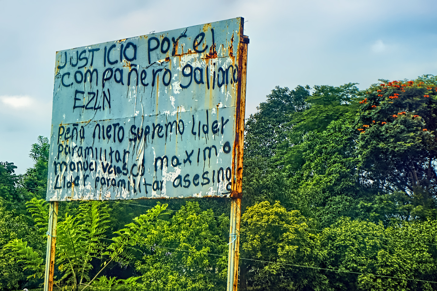
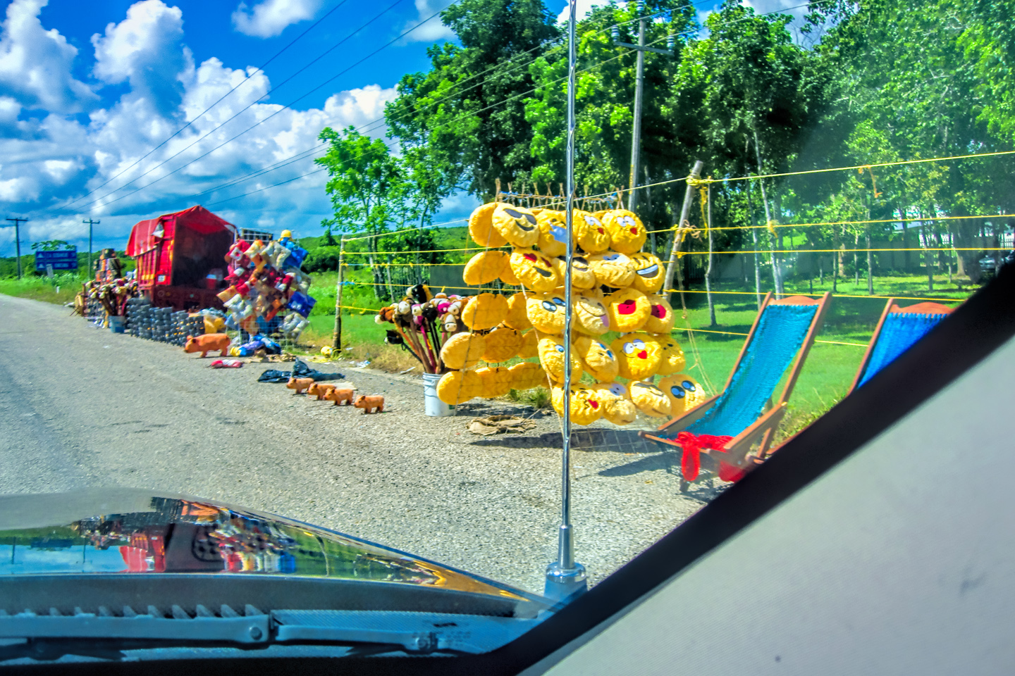
Scenes along the road in and around Piste, the small town nearest the archaeological park
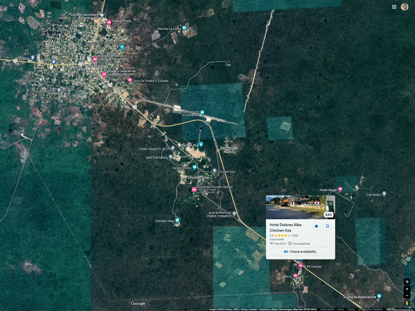
Location of Chichén Itzá relative to Merida, and to our hotel, along with a satellite view of the parking area. Note the many tour buses!
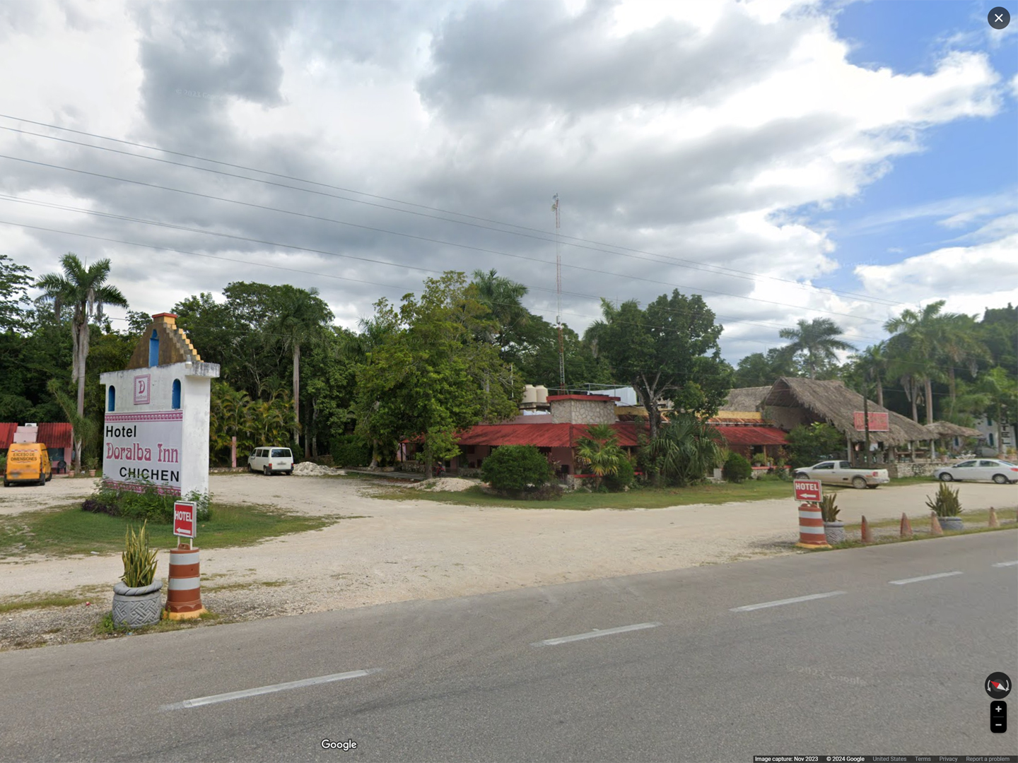
Our hotel In Merida, the Dolores Alba Inn, had a sister property near the Archaeological Park, the Doralba Inn Chichén Itzá, We’d reserved a room in advance, and it was a good thing we did, because unlike Uxmal, all the lodging in this area was fully occupied. The Doralba Chichén was different from their main location in the city. That one was old and historic, with a colonial era feel, while this one was newer, and more typically tropical, with thatched palapas on the grounds, and ceiling fans in the rooms. As usual, we were too early to check in, so we just stopped long enough to confirm our reservation, and after a quick lunch at the hotel restaurant, we drove to the ruins. Unlike Uxmal, the parking lot was full to overflowing, much of the space taken up by tour buses from Cancun.
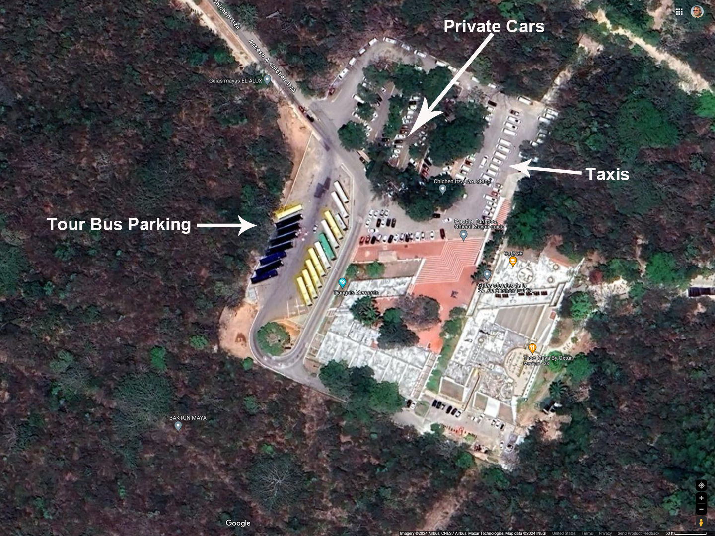
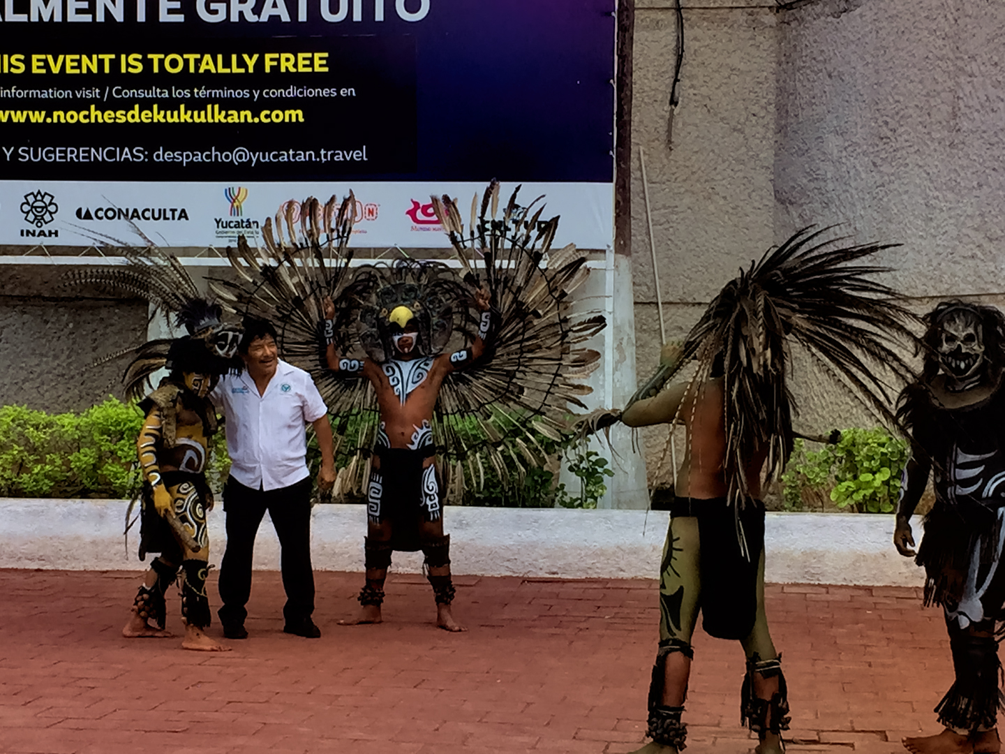
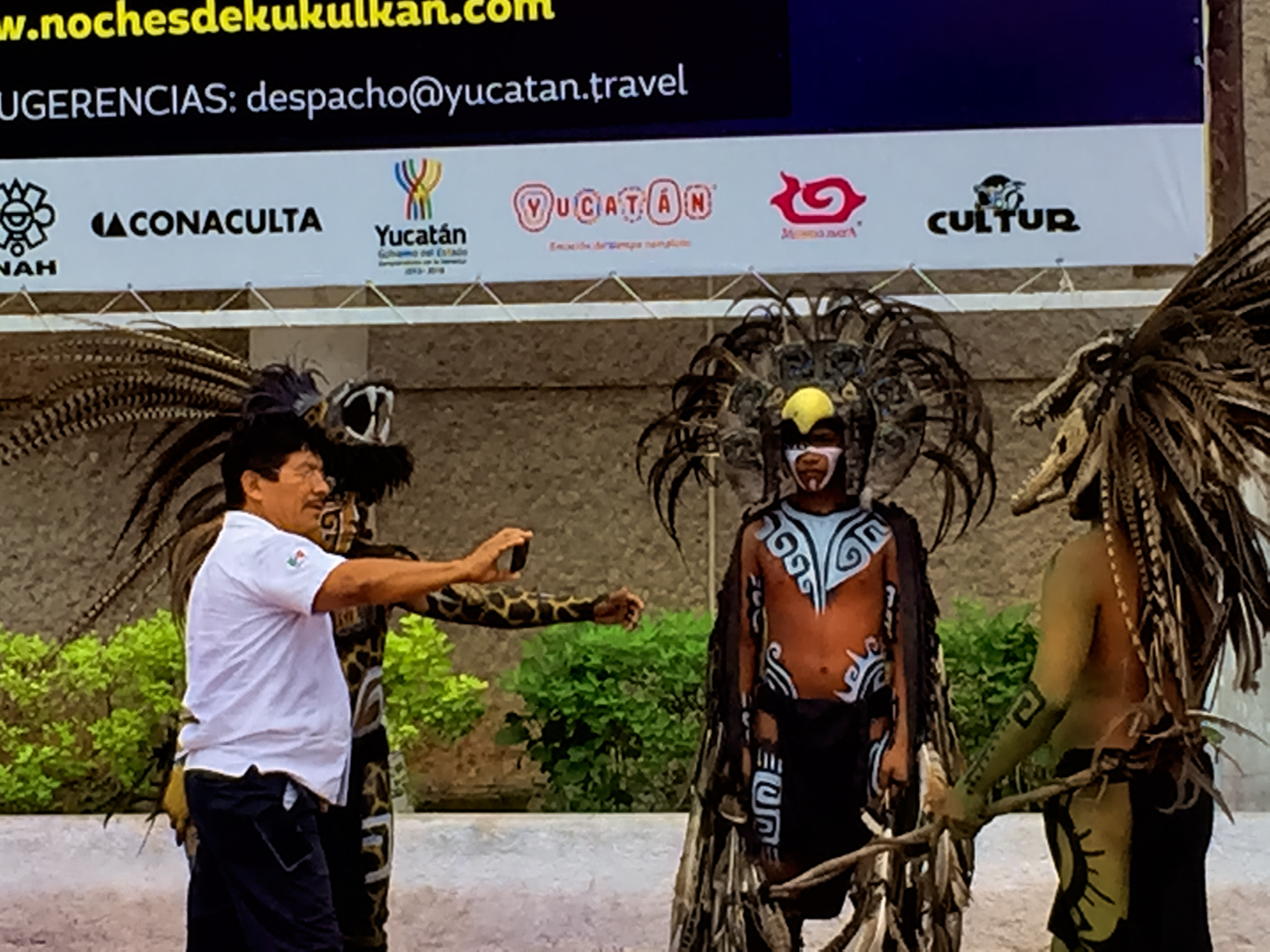
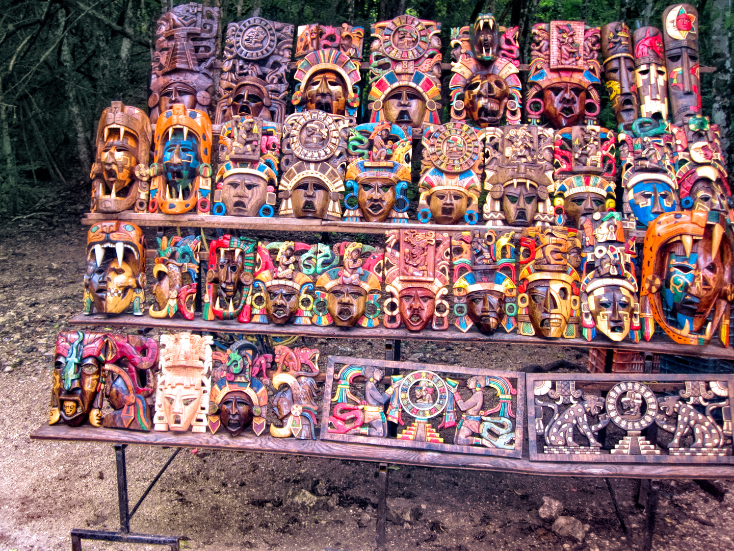
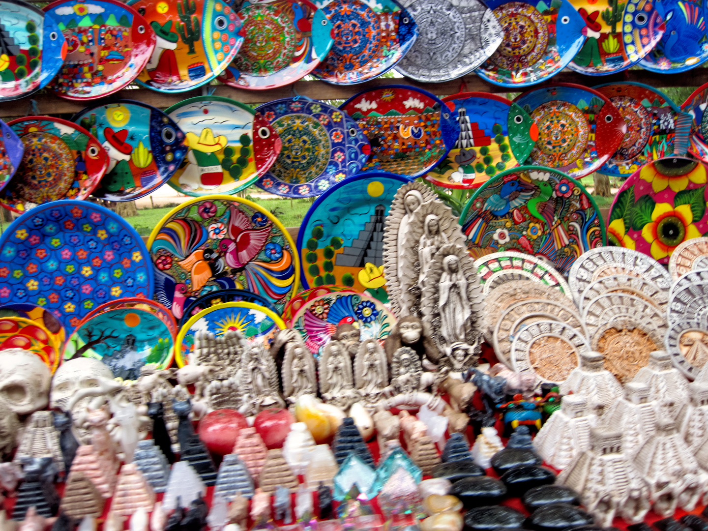
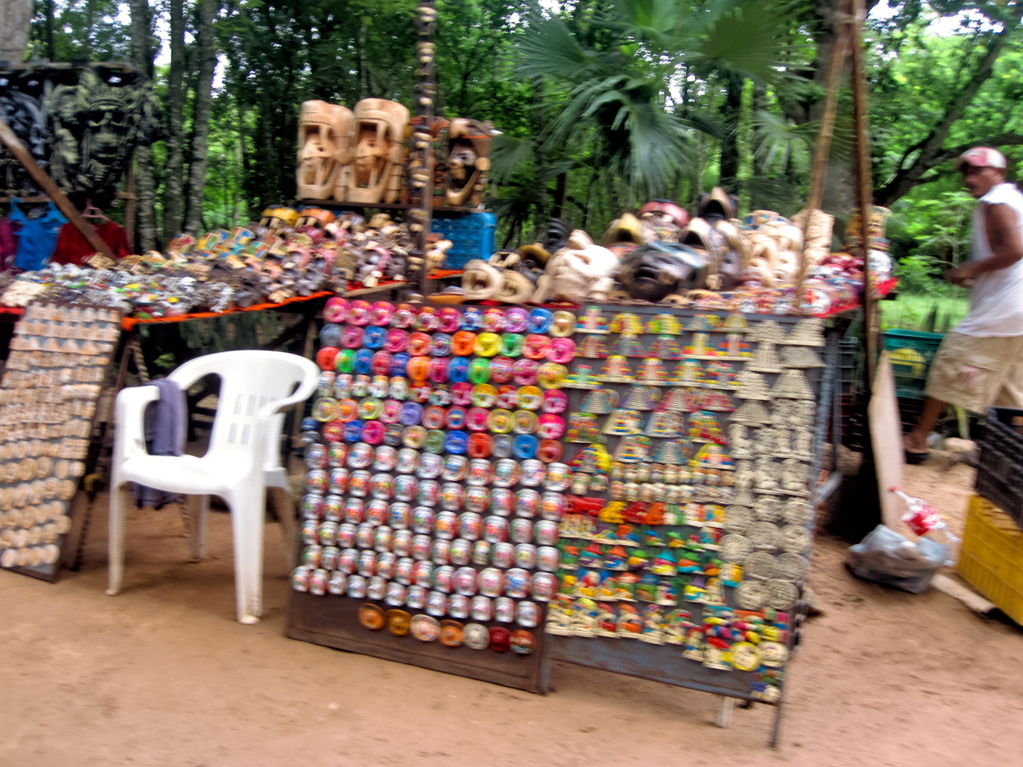
There was almost a carnival atmosphere by the entrance, with crowds of people milling about, boarding and unboarding buses, assembling into groups for the tours. A troop of performers with face paint and feathers posed for pictures with the tourists, and when you headed toward the ruins, you had to run a gauntlet of vendors selling everything from painted plates to sugar skulls, some of it interesting, and some of it seriously tacky.
In 2015, we paid about $25 apiece for admission to the archaeological park, and another $5.00 for parking. Just as at Uxmal, the State of Yucatan has since added an additional fee, which, along with inflation, triples what we paid before, to a whopping $76 per person in 2024. In 2015, admission to Chichén Itzá was double the cost of Uxmal, and today, the difference is even greater.
Scenes, signs, and merchandise near the entrance to the ruins of Chichén Itzá
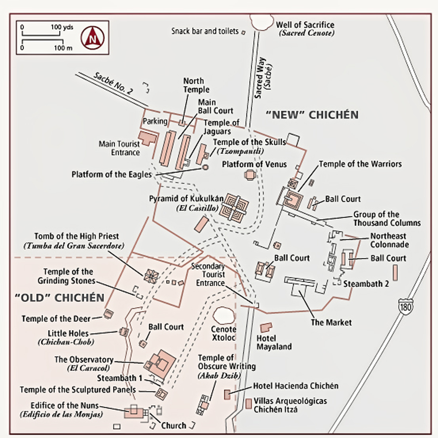
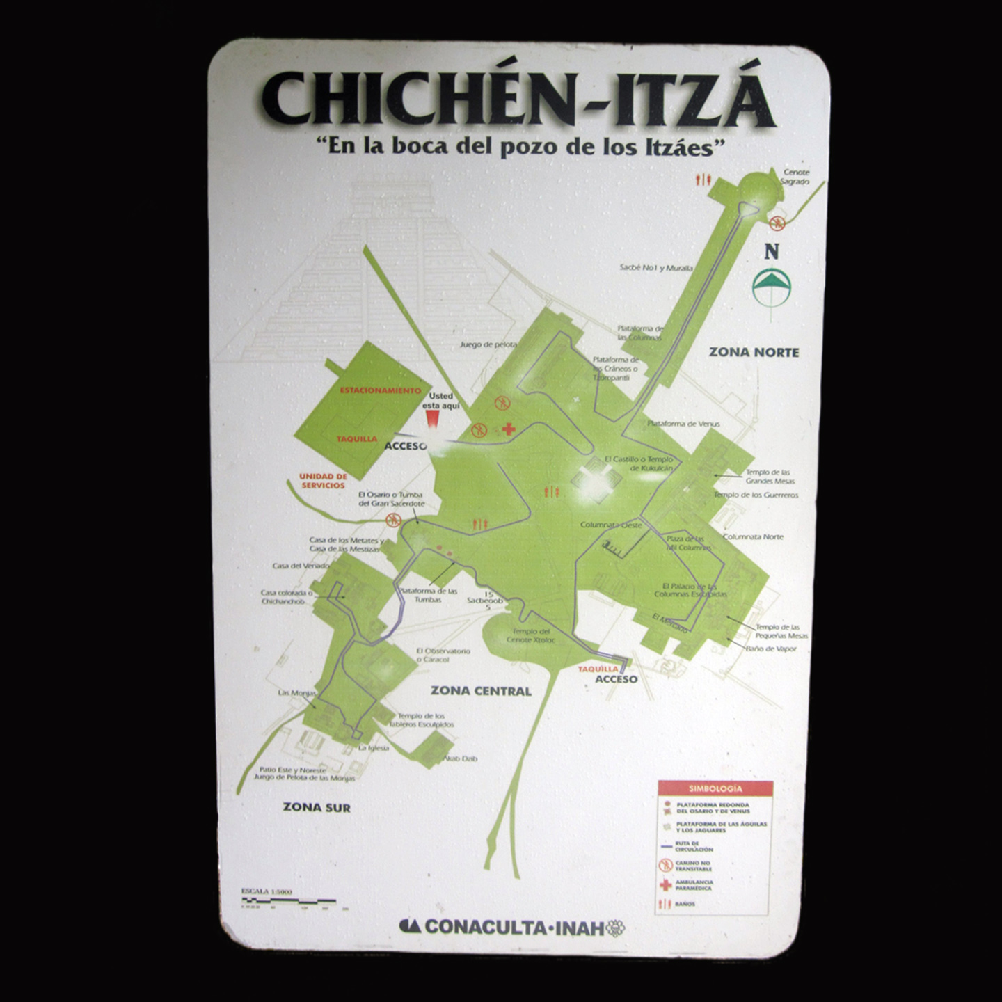
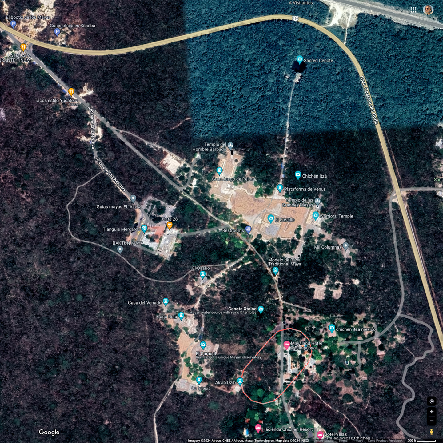
Maps and Satellite View of the ruins at Chichén Itzá
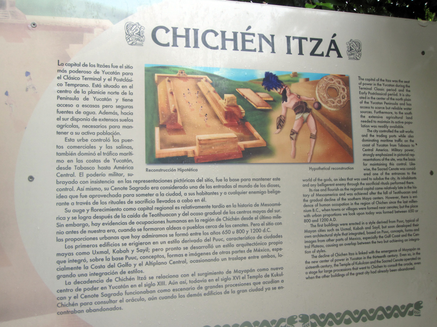
A sign by the entrance provided the basic layout of the park: “X” marks the spot for “You Are Here,” along with the relative location of the major buildings. I had a small guidebook in my camera bag, so I took a minute to match up the map in my book with the map on the sign. That done, we set off down the path, to a continuous chorus of “Ssst! Hey, Meester,” as all those people selling stuff tried to entice us to buy.
There were quite a few tourists walking back and forth, some on their own, but most of them bunched up in groups, following their tour guides like so many flocks of ducklings. I had to keep reminding myself that this was the off season, and I tried to imagine the place with double or triple the crowd, like Disneyland in July. Not a good image.
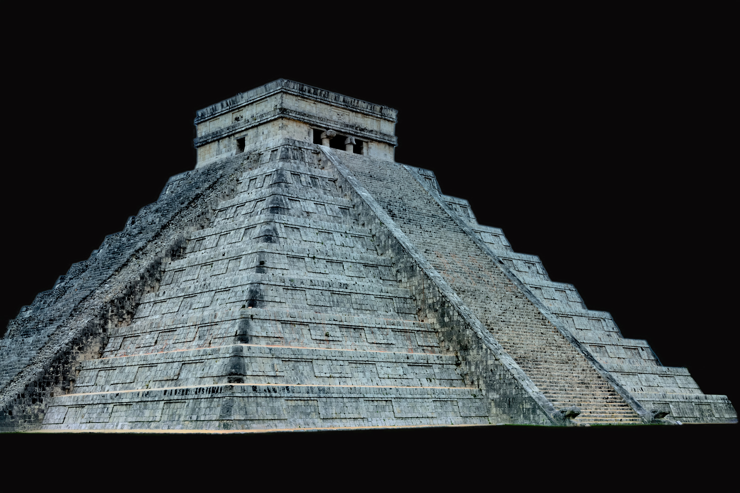
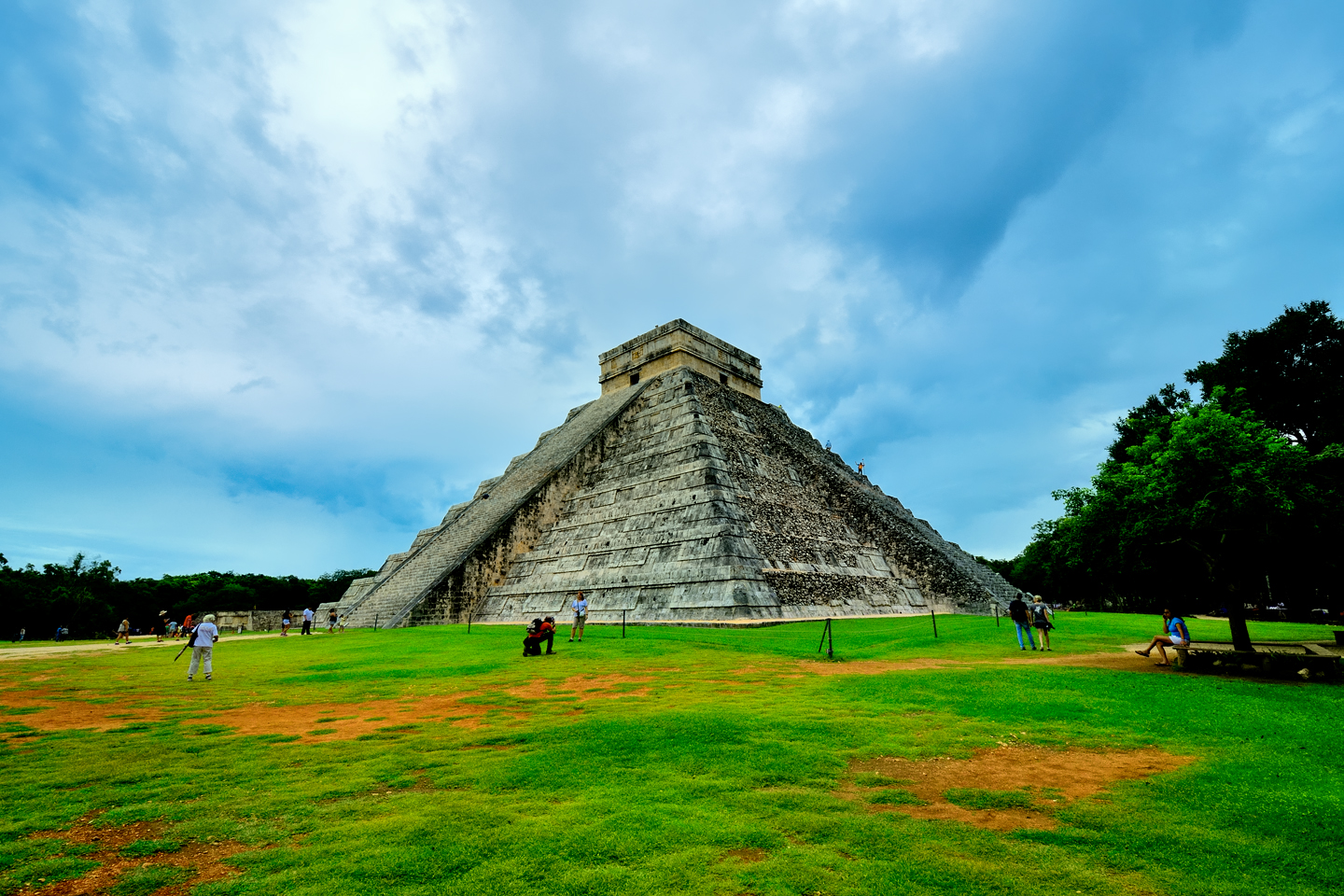
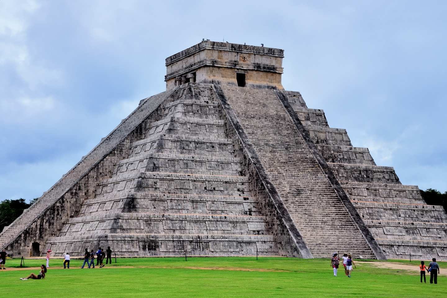
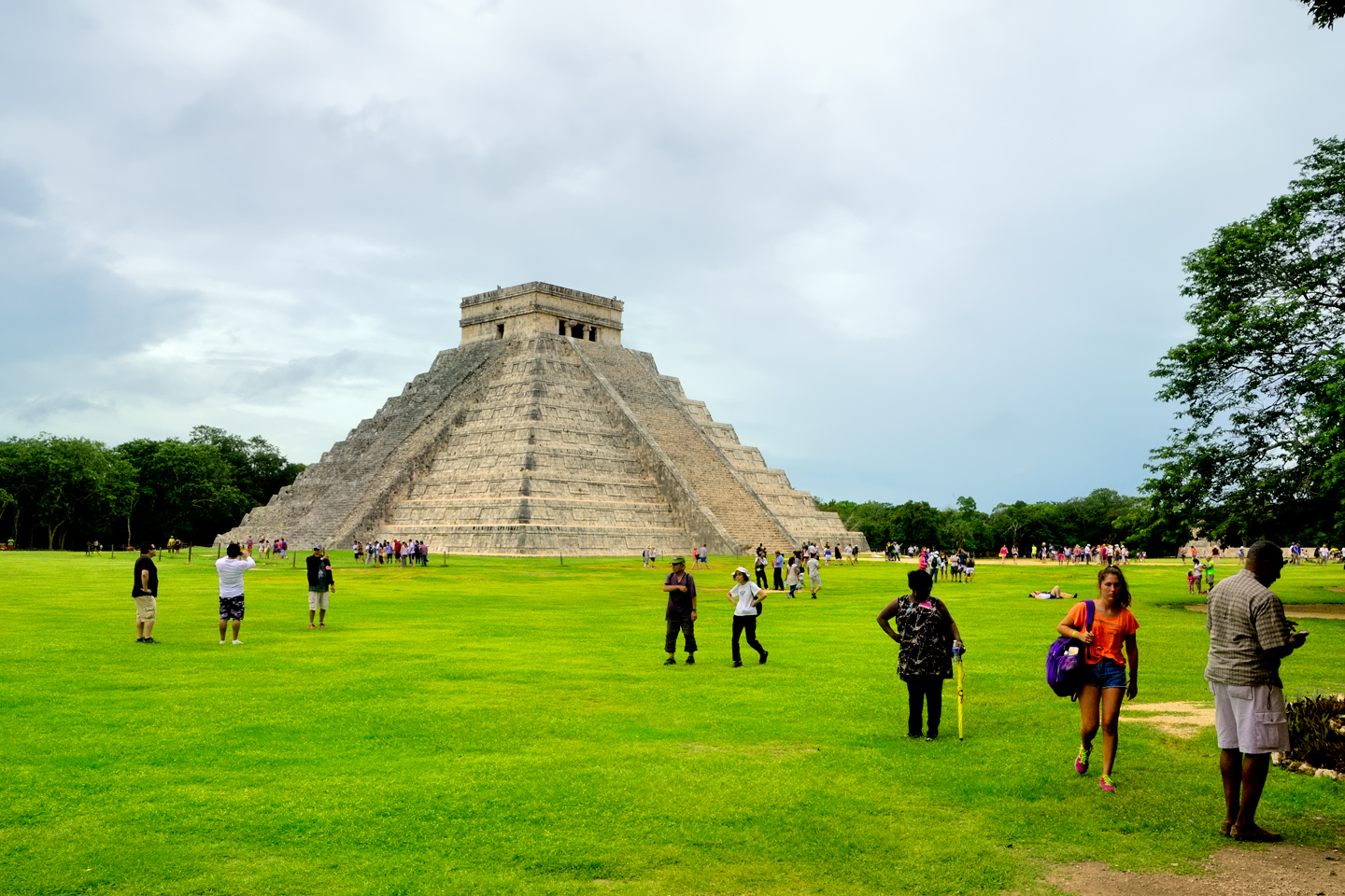
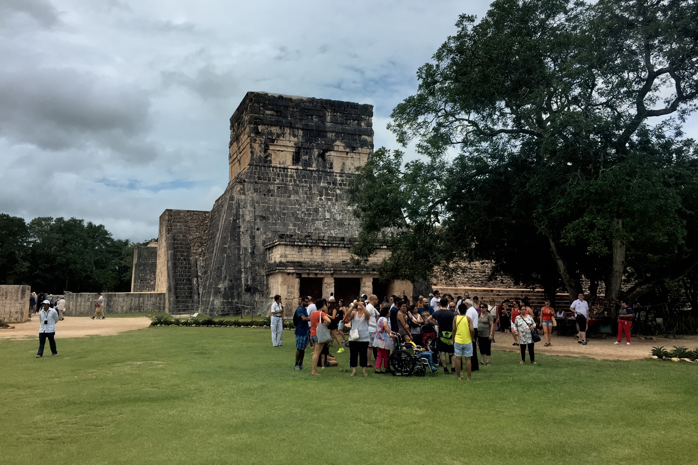
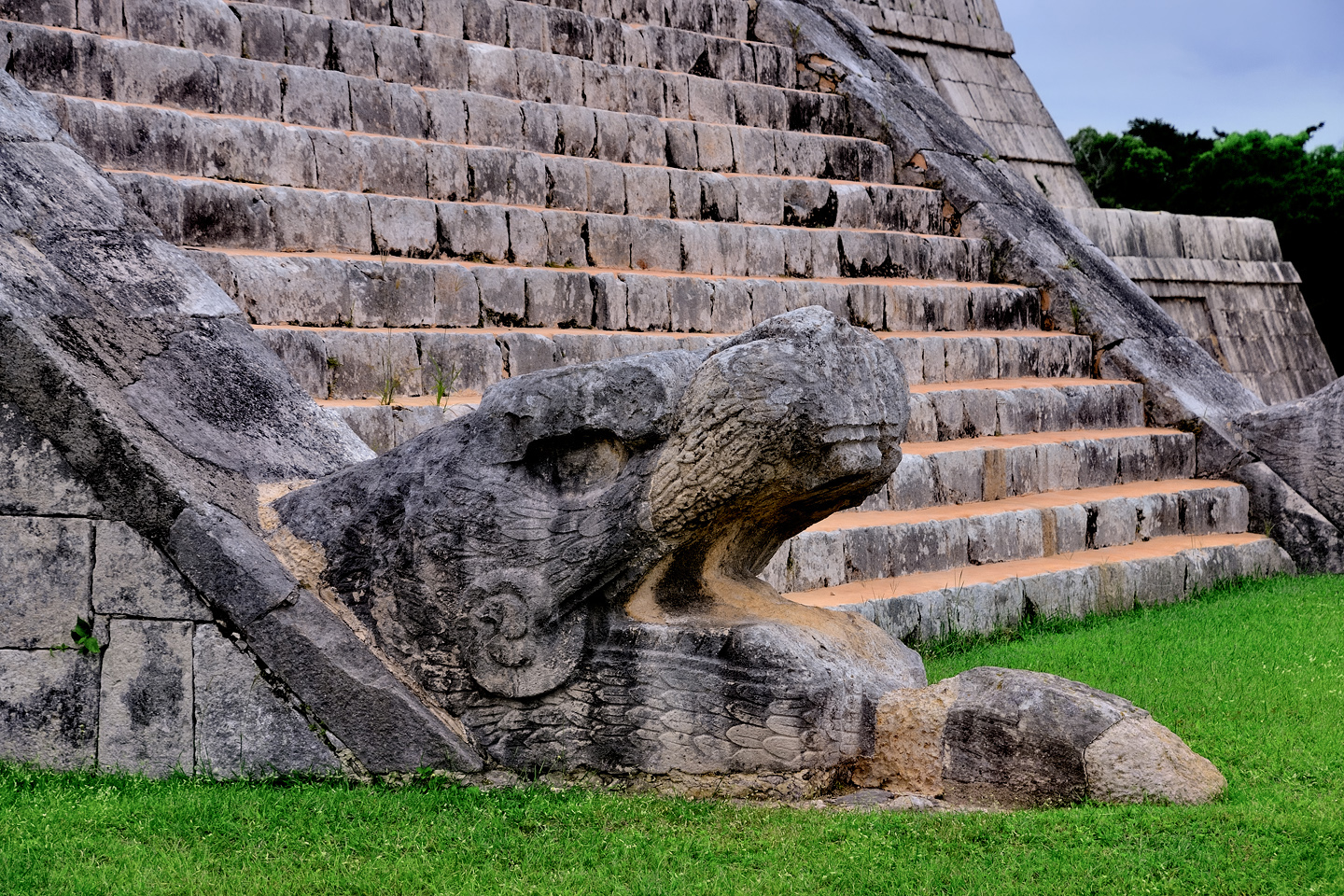
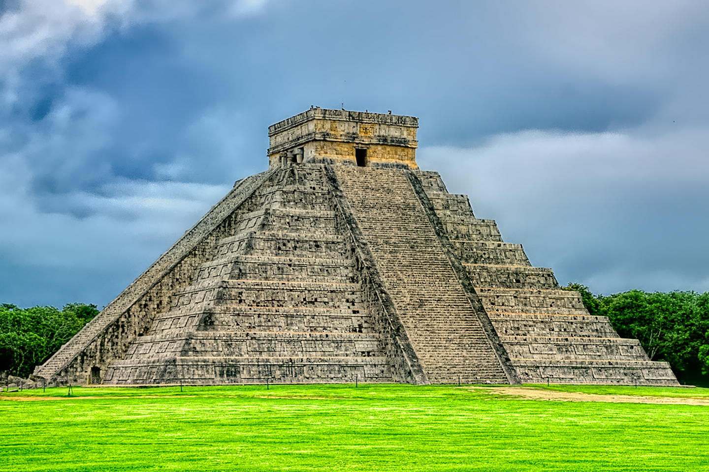
When we left the entry path and moved into the open, there it was: the Castillo, the famous Wonder of the World, in all its glory. The pyramid looked amazing, just like every photo I’d ever seen. There were rough areas on two of the four sides, but the other two sides were fully restored and geometrically perfect, an extraordinary accomplishment, given the relatively primitive building techniques used by the ancient Maya. (I did some research on that subject, and what I found was quite interesting. If you’d like to read the real story behind the vaunted “perfection” of the Castillo, see my earlier post: Chichén Itzá: Requiem for the Feathered Serpent).
The huge structure was surrounded by open space, and it was also surrounded with people. I started snapping pictures anyway, but it was impossible to compose a photo of the whole thing without getting at least a few brightly dressed tourists in the frame. “We need to come back tomorrow,” I said to Michael. “Right when they open for the day. I don’t know if we’ll have it to ourselves, like we did at Palenque and Uxmal, but it’s got to be better than this!”
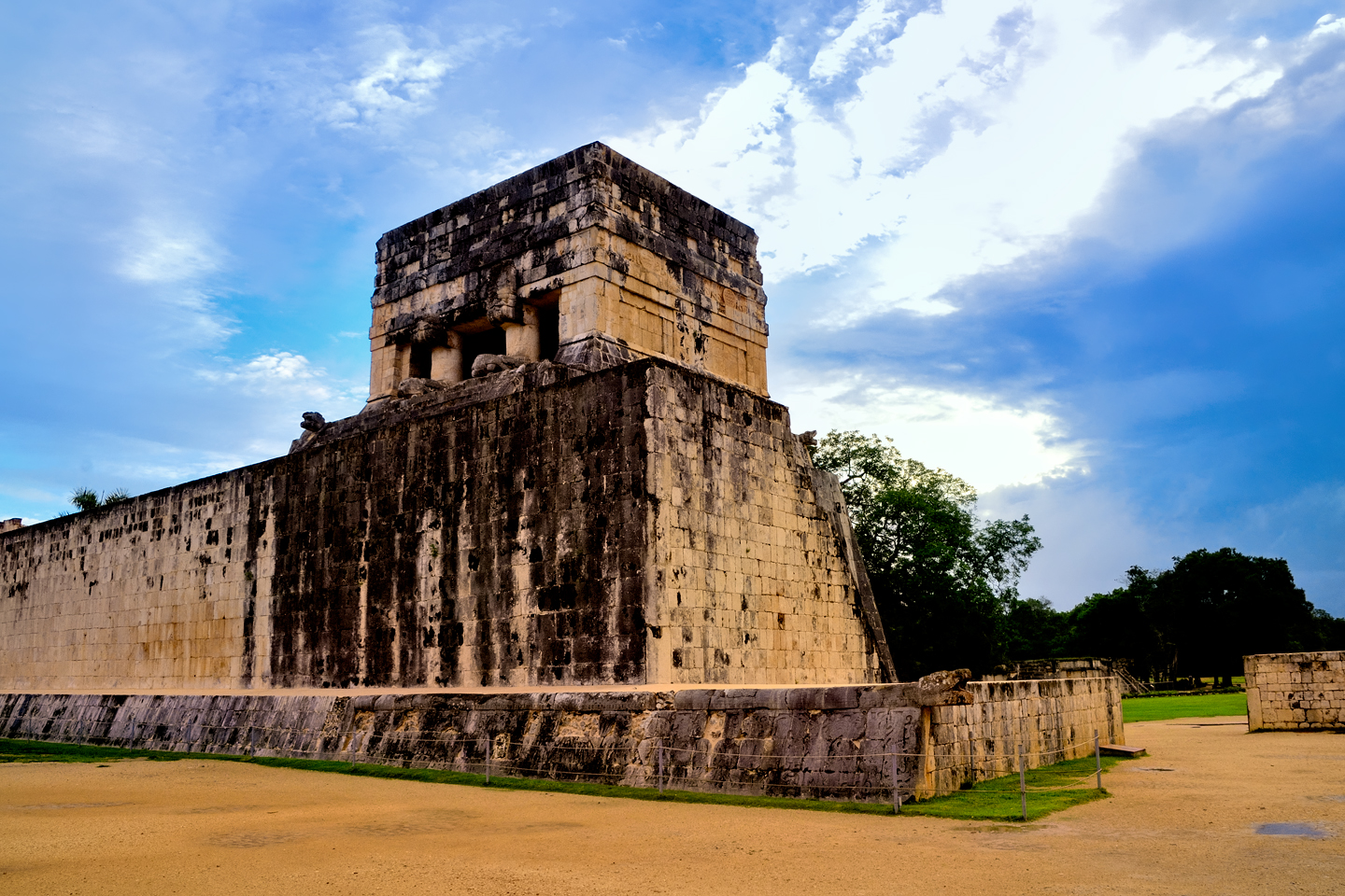
On our left as we walked into the central plaza was another famous attraction: the Grand Ball Court. Every Mayan city has a court for playing their ritual ball game, where opposing teams clad in leather armor tried to knock a heavy ball made of natural rubber through stone goal rings, without using their hands. Chichén Itzá’s ball court is the largest that’s ever been found, and it’s been very nicely restored, but it was tough to get a good photo. Just like the Castillo, the Ball Court was chock-a-block with tourists. Nice for providing a sense of scale, not so great if you’re trying to capture the ambience of an abandoned ancient city.
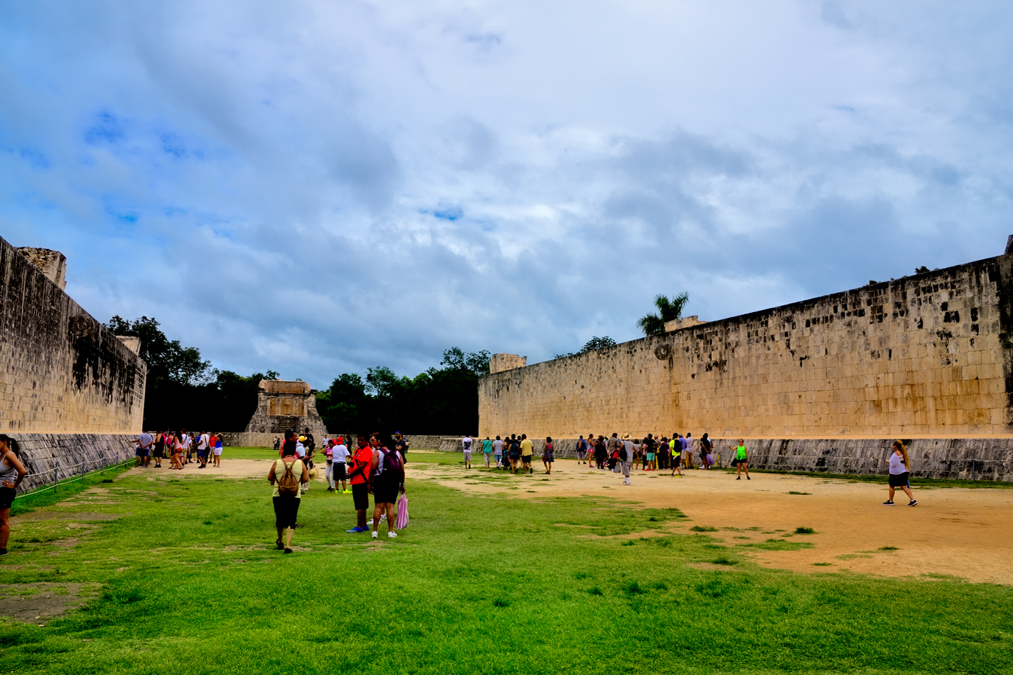
The Grand Ball Court, mid-afternoon in October (the off season)
I’ve been shooting pictures in crowded places for decades, and I know how to work around the people to capture images that don’t include them. Sometimes it’s just a matter of stepping to one side, and zooming in:
There are other situations where it’s not possible to find a vantage point that excludes the crowd. In those cases, I use my telephoto zoom to crop the composition in a way that focuses on an ‘uncrowded’ segment of the scene:
Sometimes, having people in your photos is a good thing. Editors looking for travel pieces often prefer pictures with people; better yet, if you have people interacting with the scenery, in ways that their readers can relate to. A few random tourists, properly spaced, can add a splash of color to a composition that might otherwise apear a bit drab and lifeless.
Too many people, on the other hand, really does spoil what might otherwise have been a much better photograph, from an artistic or documentary point of view. Since we were definitely planning to come back the next day, hopefully early enough to beat the crowd, I used my zoom lenses to focus on details, saving the wide shots for later. (For more tips on working around the crowds at Mayan ruins, check out my earlier post: Photographer’s Assignment: Chichén Itzá.)
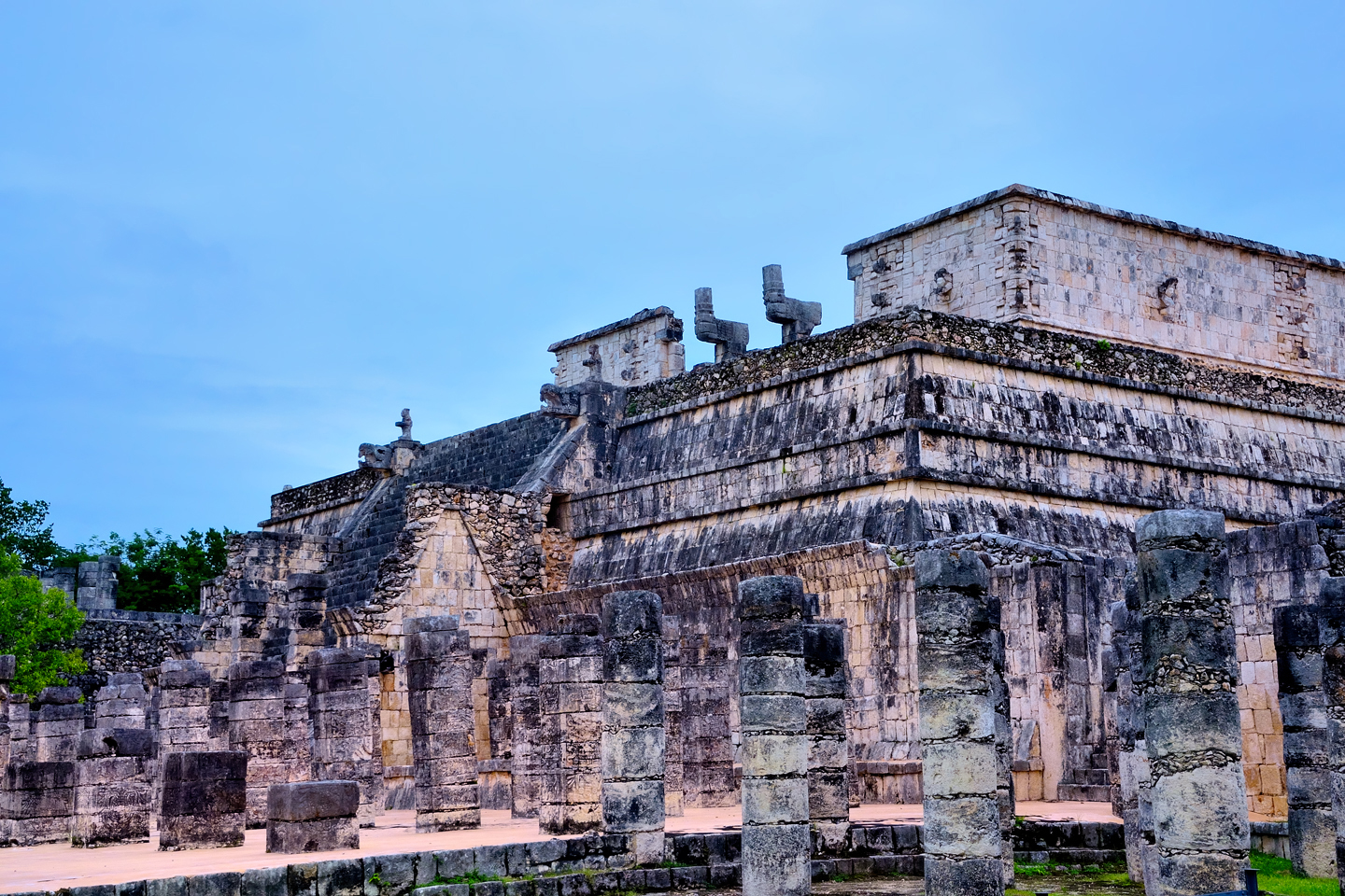
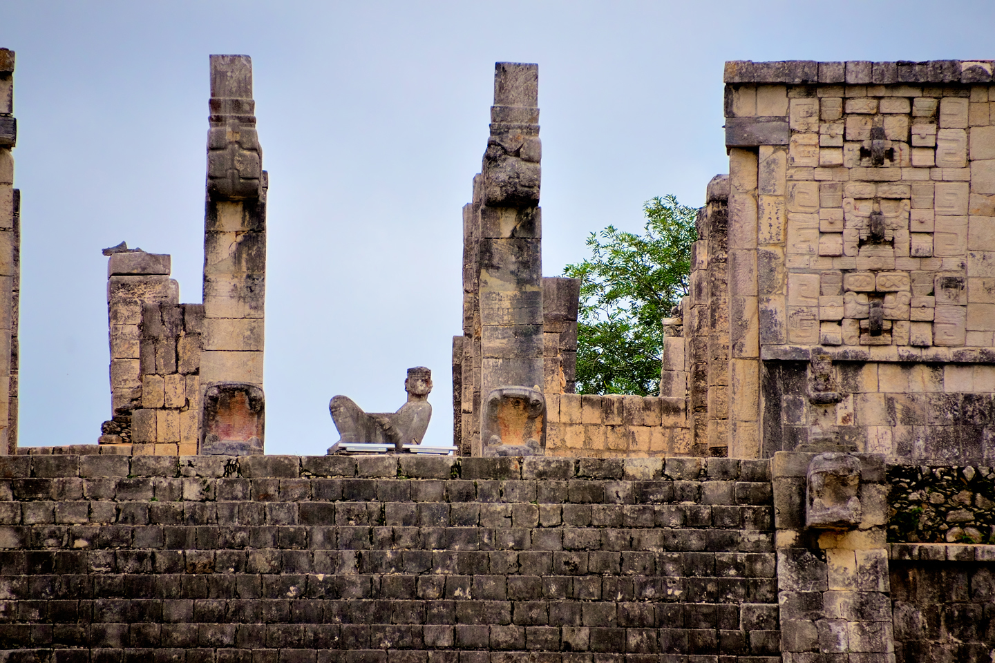
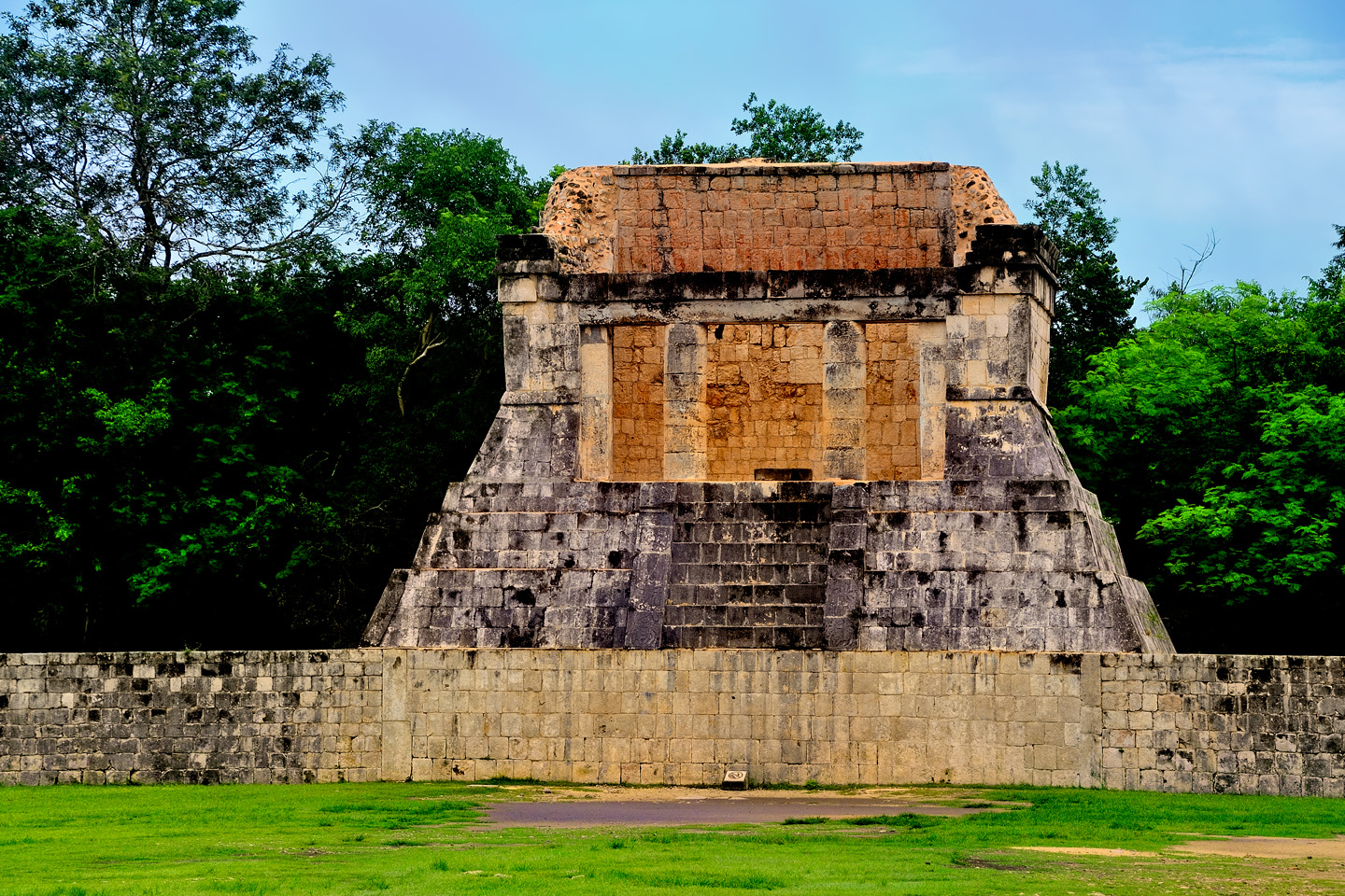
Since we’d arrived in the park relatively late in the day, we made no attempt to see everything, instead focusing our attention on the main plaza: the area surrounding the Castillo, and some of the adjacent structures. The second largest building at Chichén Itzá is the Temple of the Warriors, a high platform with steps leading up, and an iconic reclining “Chac Mool” sculpture at the top. There were plenty of people milling about in front of the temple, but nobody on the steps, because climbing is not allowed; in fact, throughout the park there are rope barriers in place, preventing visitors from getting too close to most of the buildings. That made it simple enough to step back and use my zoom to compose images with no tourists in view–in spite of the crowds.
They started moving people toward the exit a little before the 5:00 PM closing time–but I didn’t mind. I had what I needed, plenty of good closeups, along with a solid grasp of the layout, so that when we came back the next day, I’d know exactly where to go. The weather report called for rain over most of the next 24 hours. I kept my fingers crossed (as well as my toes), in hopes of completing our second visit to the ruins before it started.
Day 11: Chichén Itzá without the crowds!
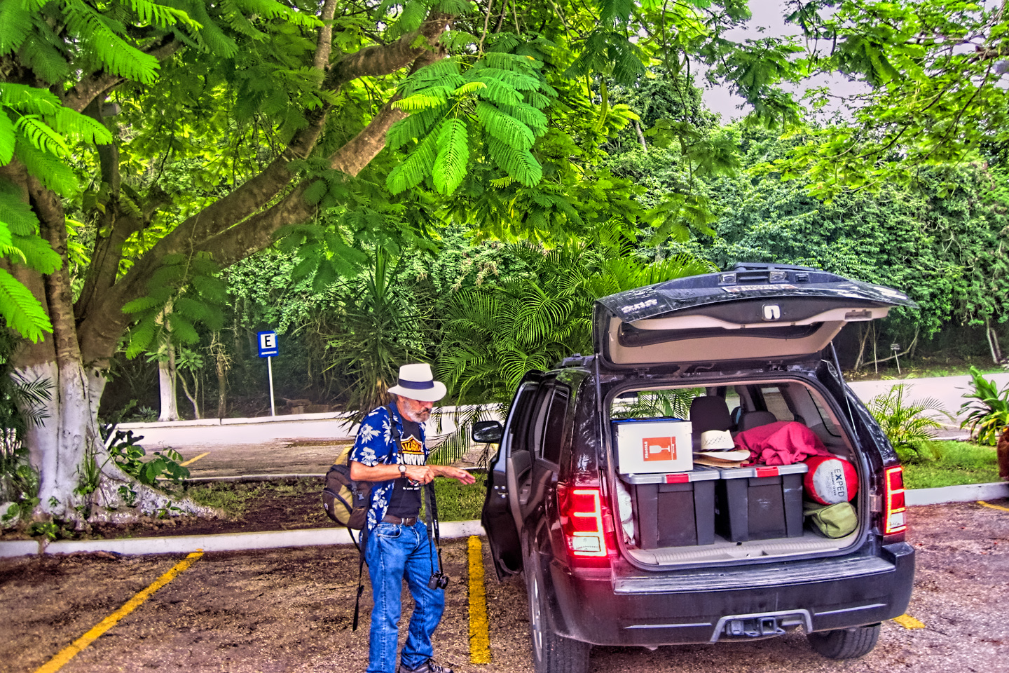
We were up early on Day 11, packed and checked out of our room by 7:30 AM. The sky was definitely threatening rain, but there was none falling just yet, so I crossed my eyes, to go along with my crossed fingers and toes, to forestall any downpours until after lunch. I was so determined to be first in line that we skipped breakfast, and drove straight to the archaeological park, arriving there at least 20 minutes before they opened.
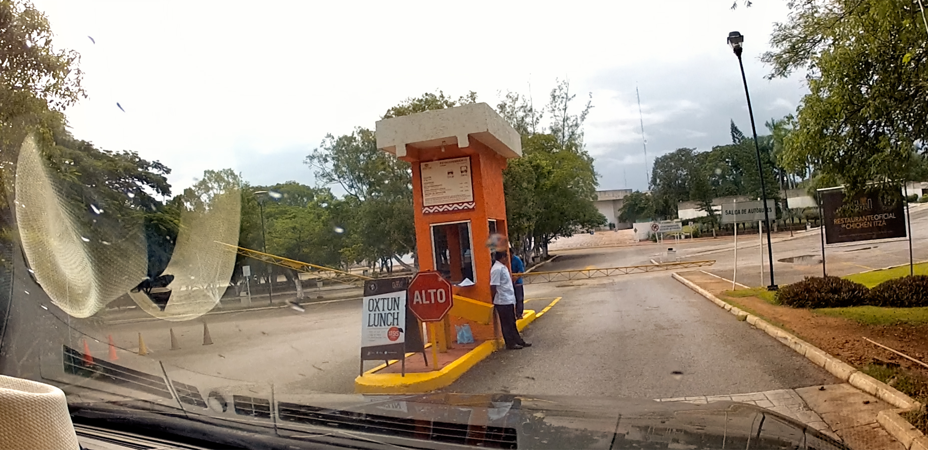
We waited, a bit impatiently, for the attendants to open the gate to the all but empty parking lot. The day before, we were lucky to find a single space in that lot, but this time, we had our pick. Once parked, we made a beeline for the ticket window just inside the entrance. Tickets are only good for a single day, so we had to pay another $25 apiece to get back in, but as far as I was concerned, it was going to be well worth it. Just one other person showed up for the opening, a young Canadian tourist who arrived in a taxi. He was actually more eager than we were: the second they opened the entry gate, he took off at a dead run, probably headed for the Castillo.
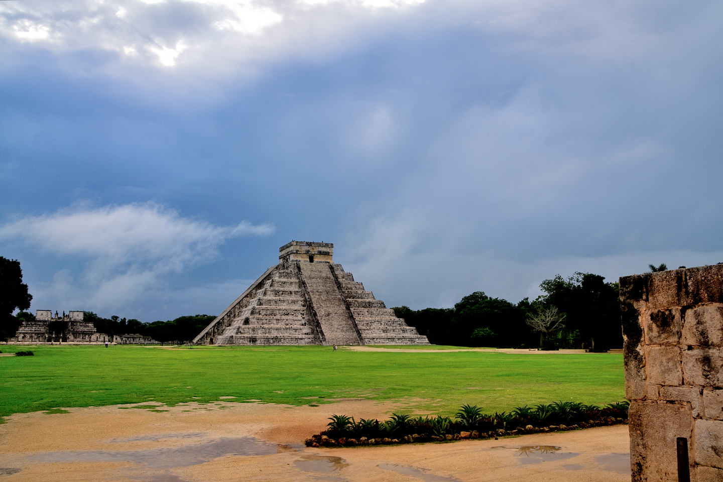
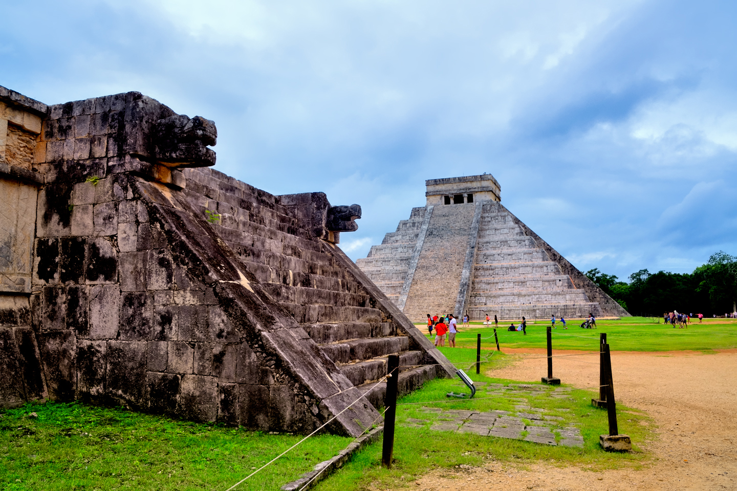
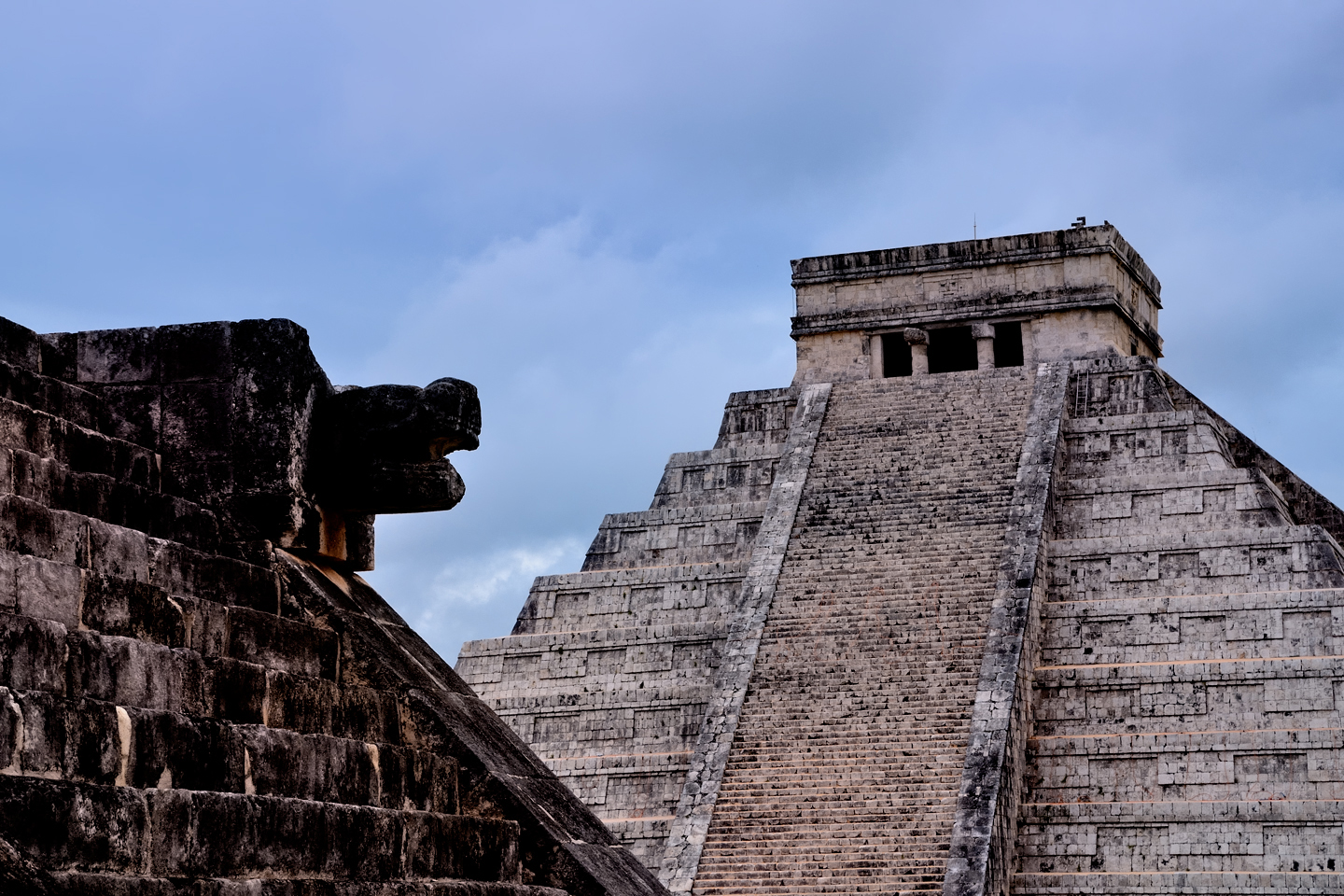
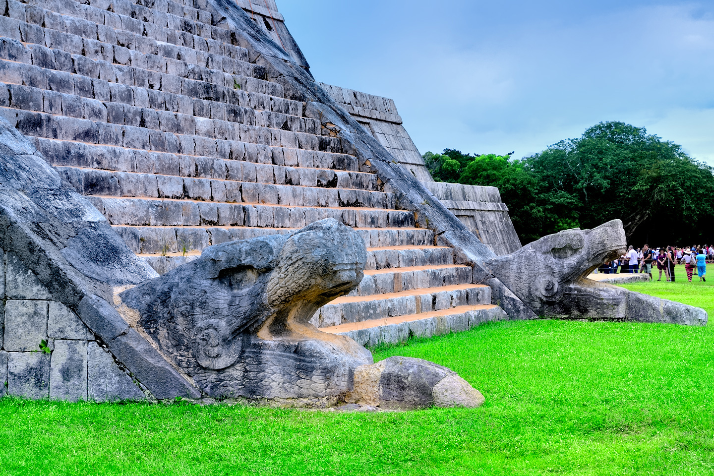
The Castillo, aka the Temple of Kukulkan, as it appears at 8 AM, before the buses arrive!
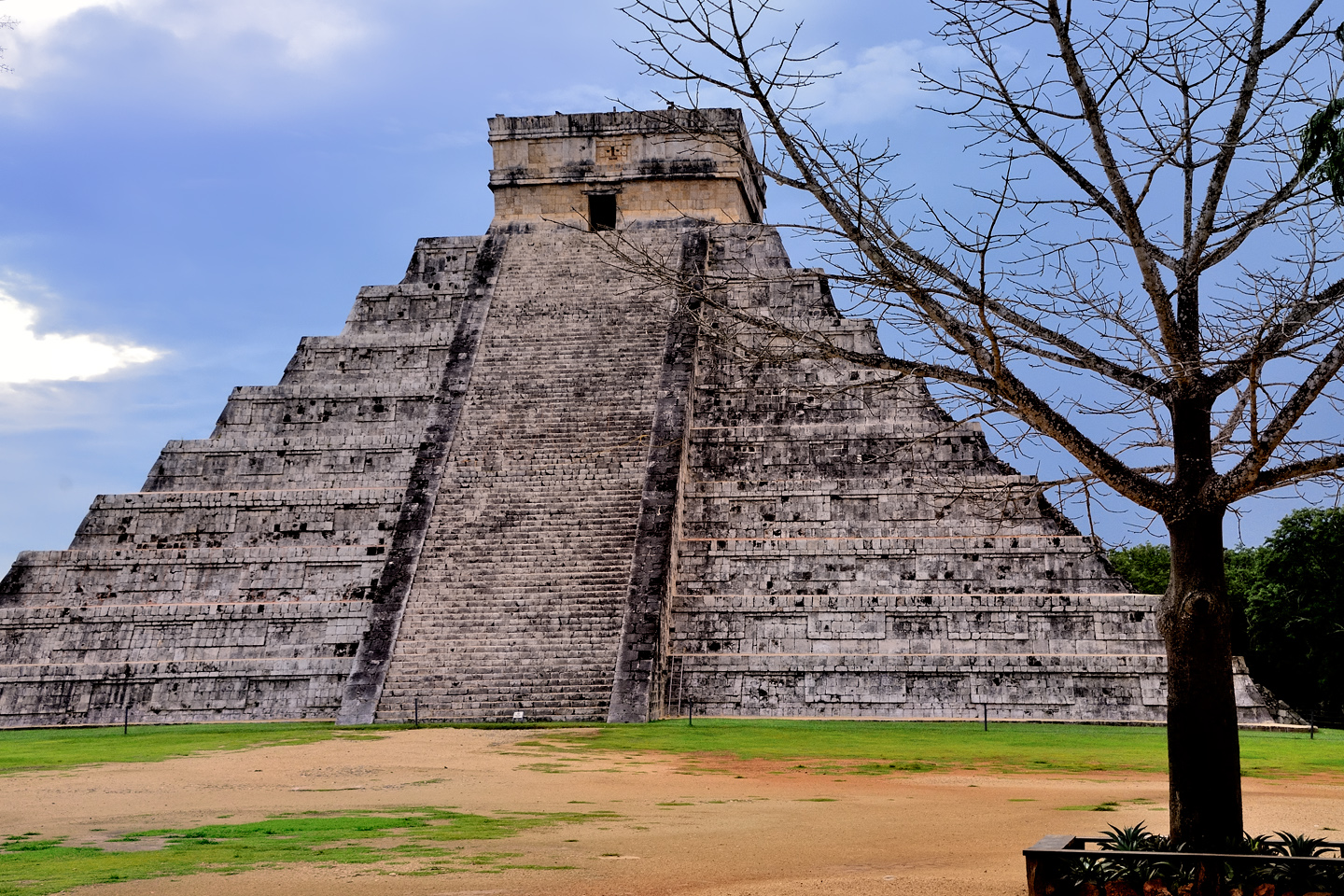
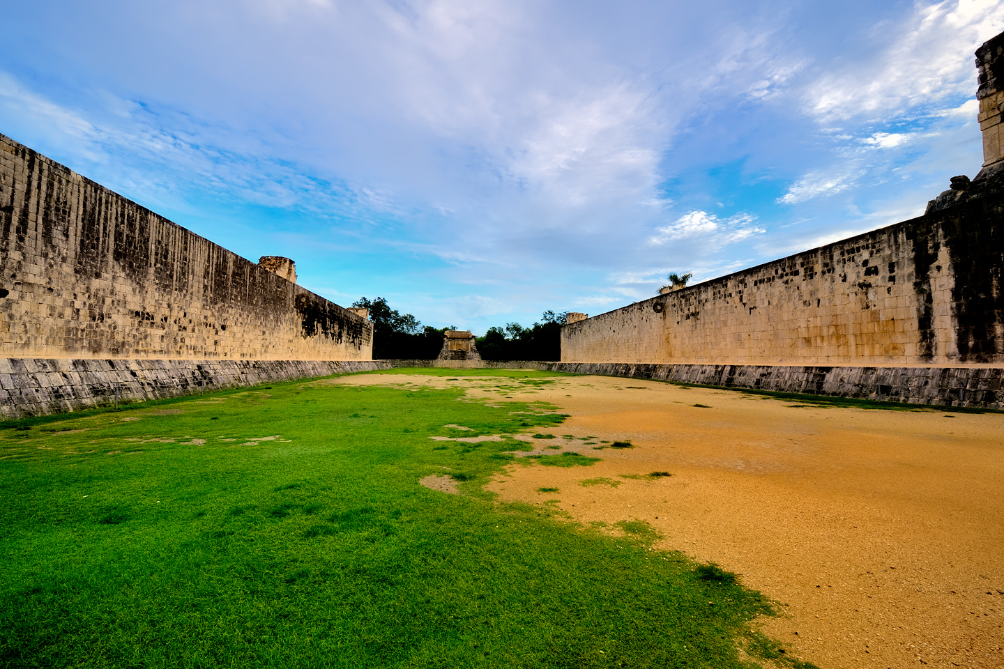
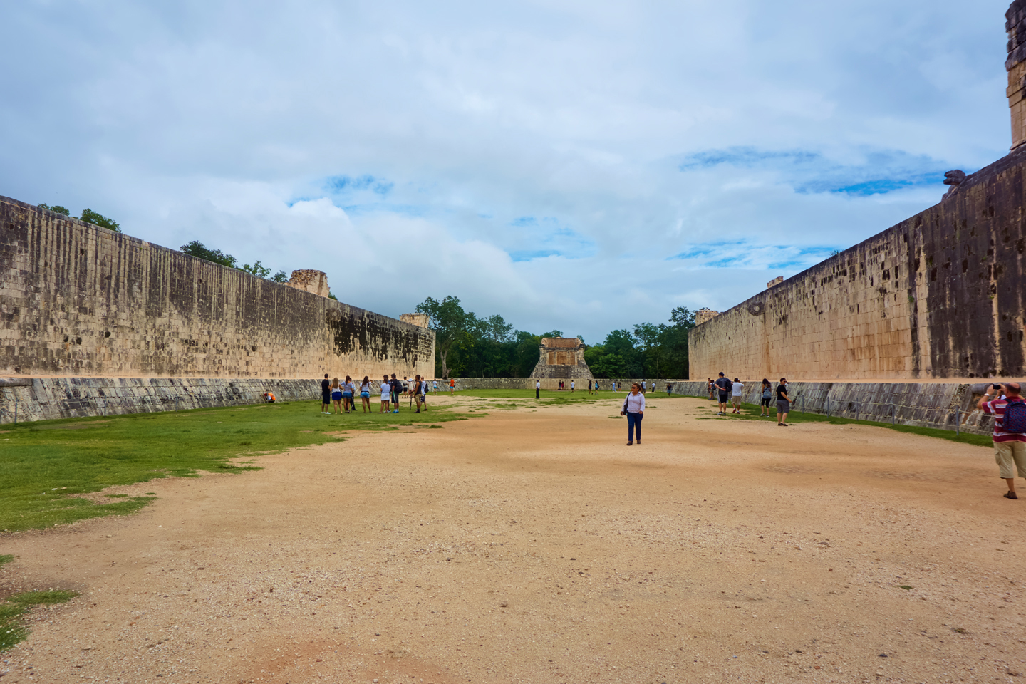
The light wasn’t as good this day, thanks to the heavy cloud cover, but the plaza was wide open, with not a single soul in sight (not even the Canadian sprinter). I took at least three dozen unobstructed photos of the big pyramid, and then I turned to the Grand Ball Court. Because it’s so near the entrance, that space is NEVER free of people during the day, but for us early birds, it was completely empty, and I was able to take as many photos as I liked, free of distractions.
The Ball Court is massive when compared to the courts at Palenque and Uxmal. The high, sheer-sided walls would have made it nearly impossible to score a goal here.
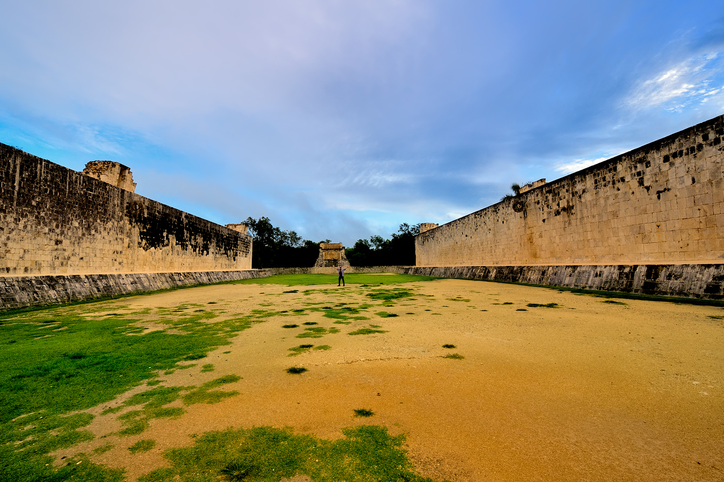
Several views of the Grand Ball Court, empty at 8 AM. Included is a photo with me, standing halfway back in the middle of the court, to provide a measure of scale.
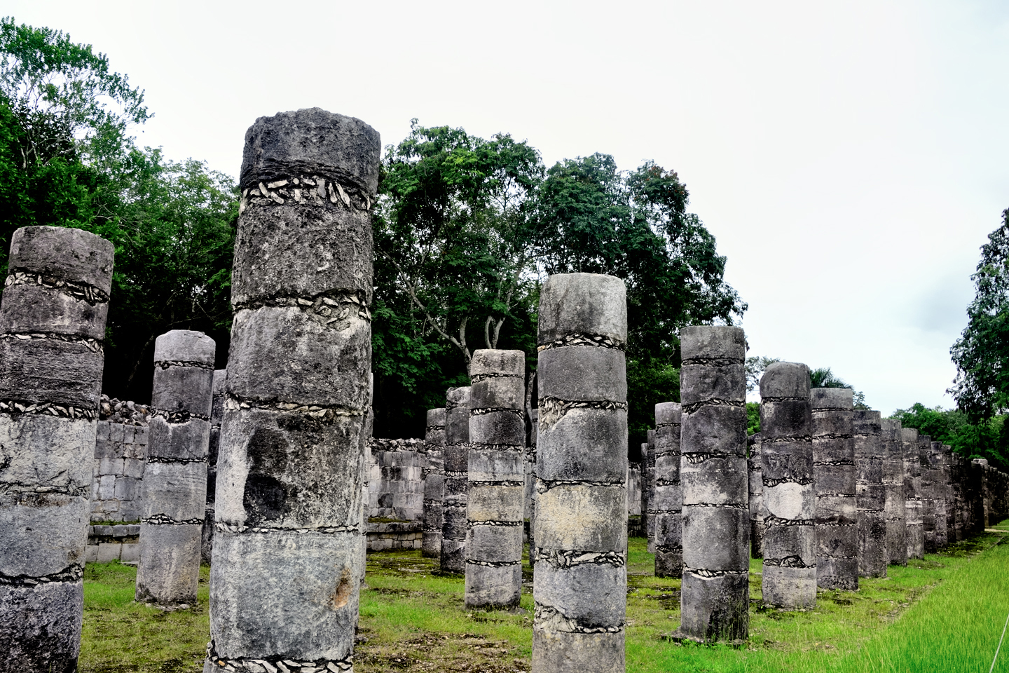
We had the whole place practically all to ourselves for at least an hour, and I made good use of the time, taking uncluttered photos of all the structures nearest the entrance. That done, we headed for the south forty, the section known as “Old” Chichén, which we had not visited the day before.
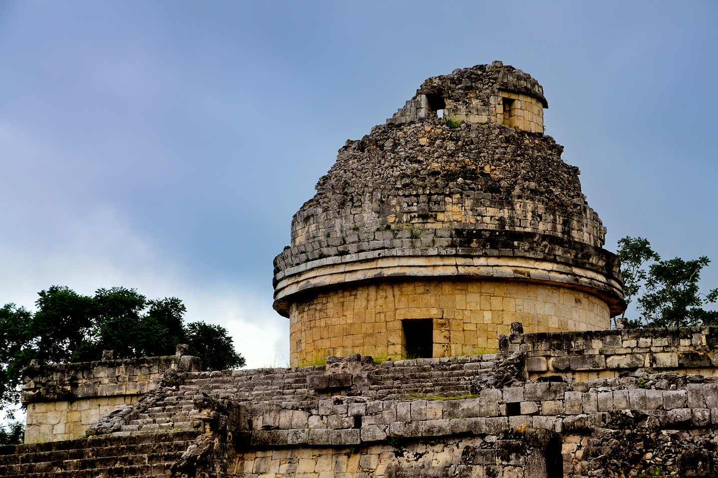
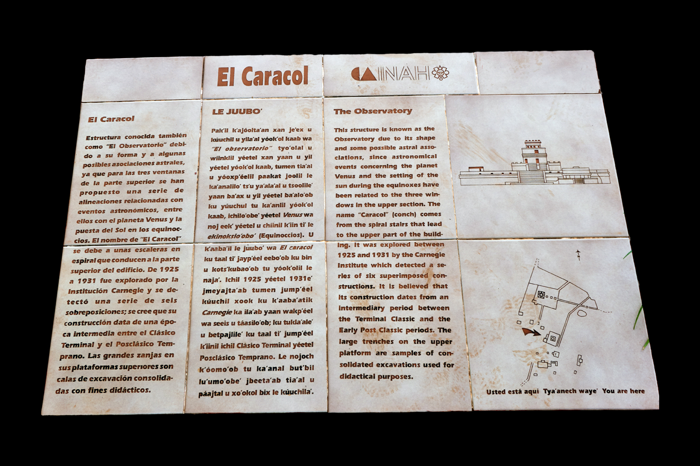
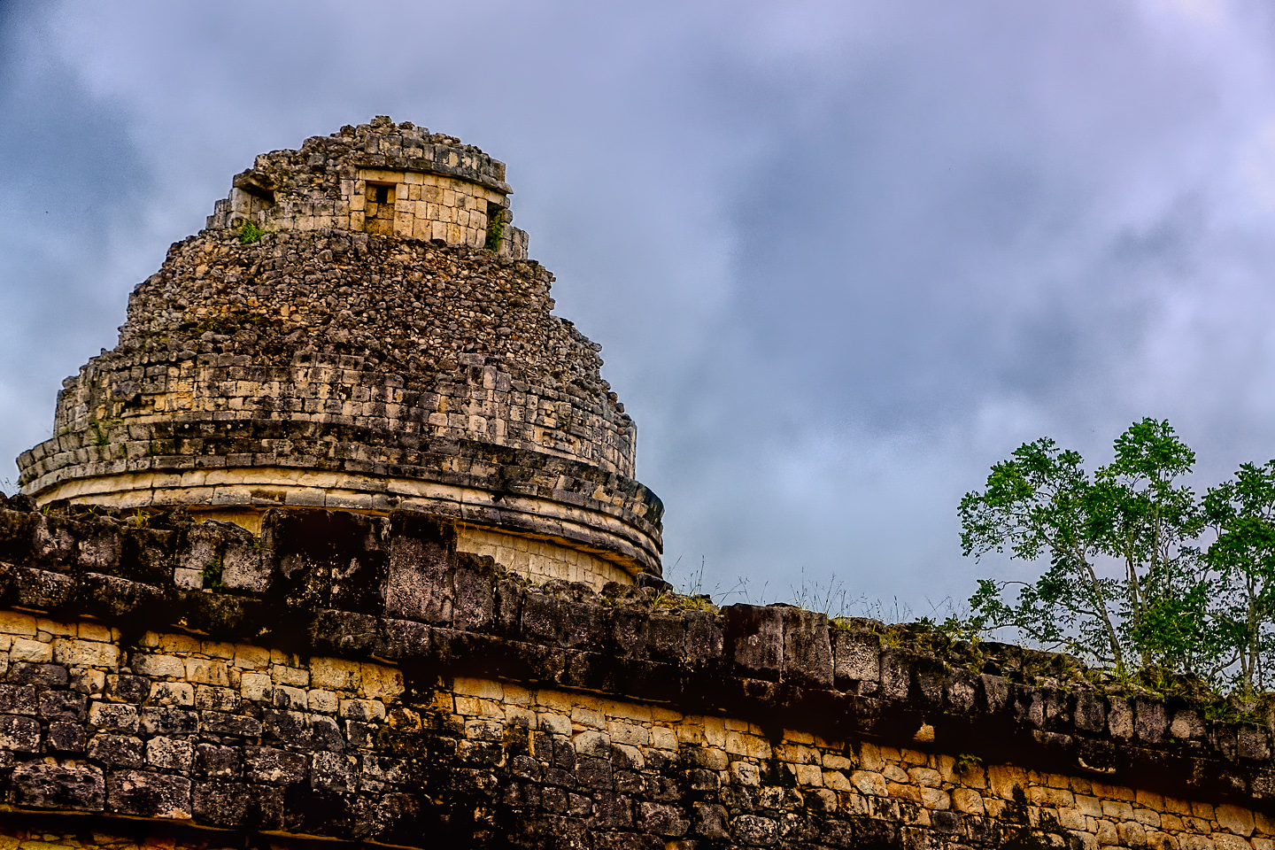
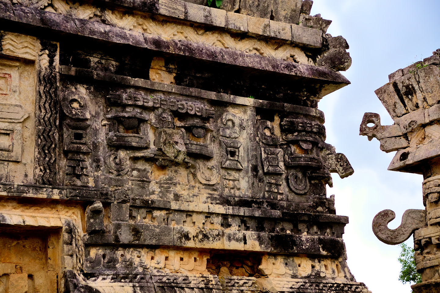
One of the best known attractions in Old Chichén was the building known as the Caracol, the Conch (or Snail), named for the spiral staircase in the center, reminiscent of the spiraling chambers inside of a Conch shell. The main section of the building is round, which is highly unusual in the world of the Maya. It’s thought that openings in the walls align with certain celestial events, so the Caracol in it’s original form, may have been an observatory, used by the Maya to predict solstices, crop cycles, and other dates important to their agrarian society.
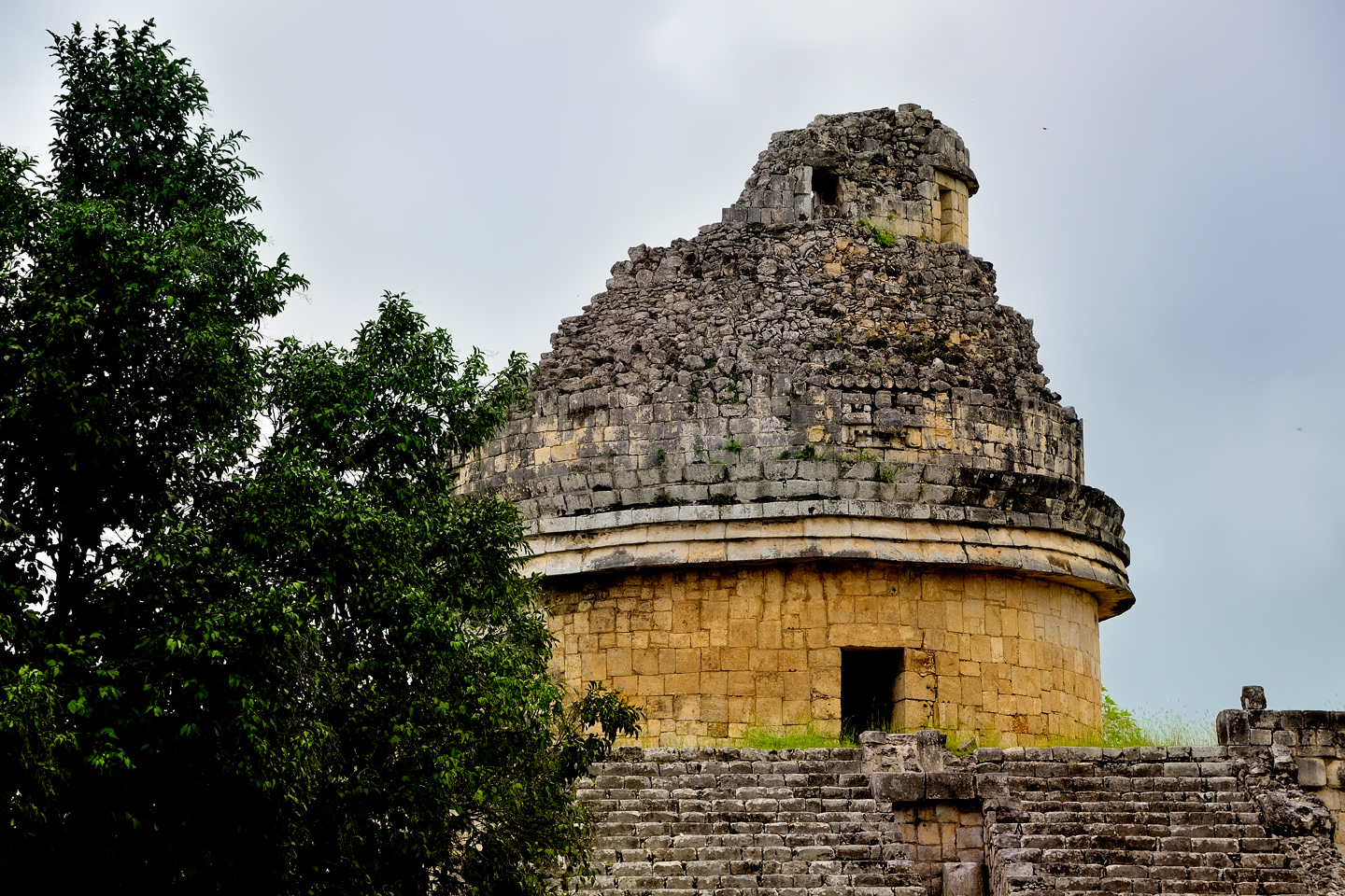
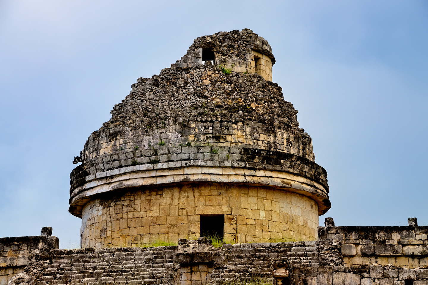
Several views of the Caracol, the Snail, an unusual round building thought to have been used as an observatory for marking certain celestial events.
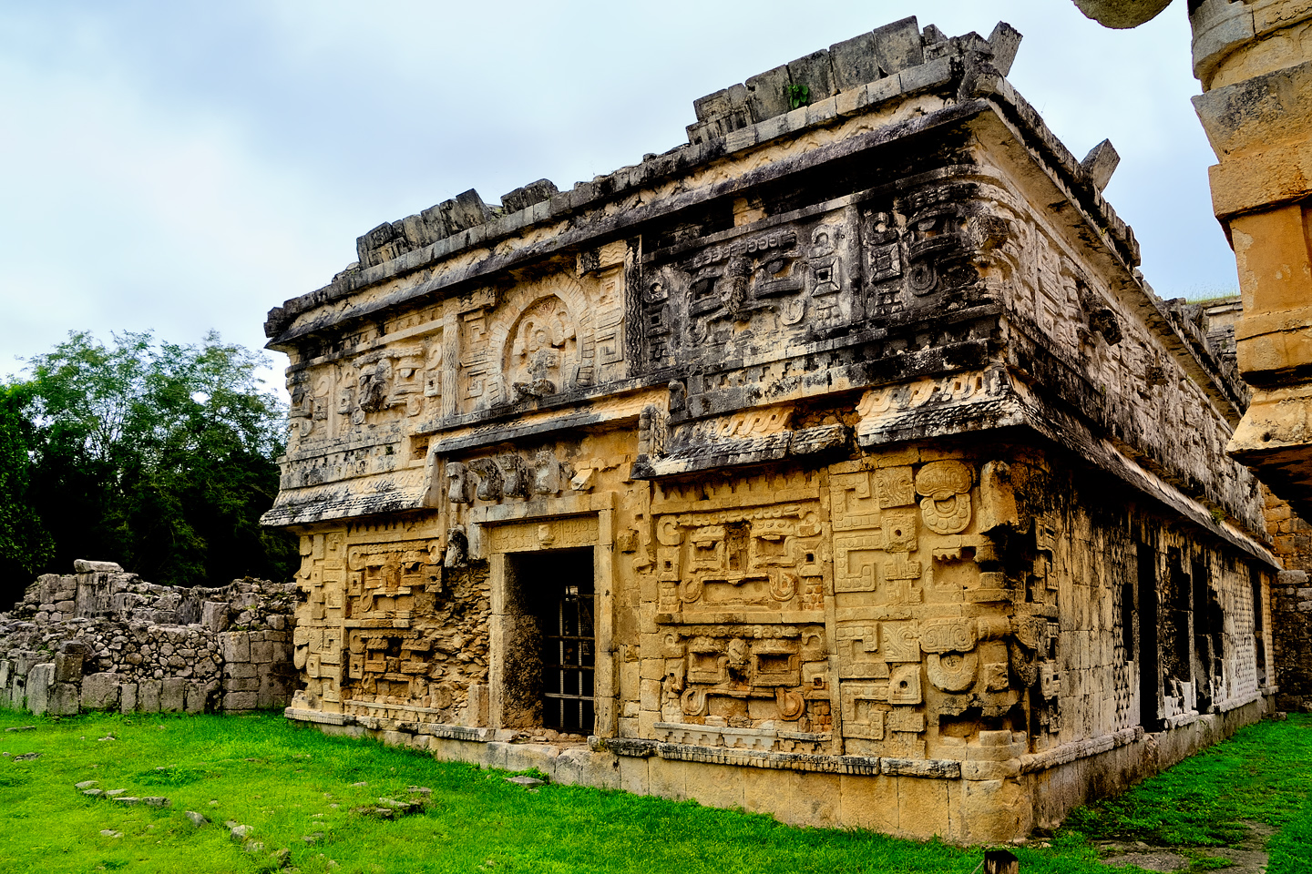
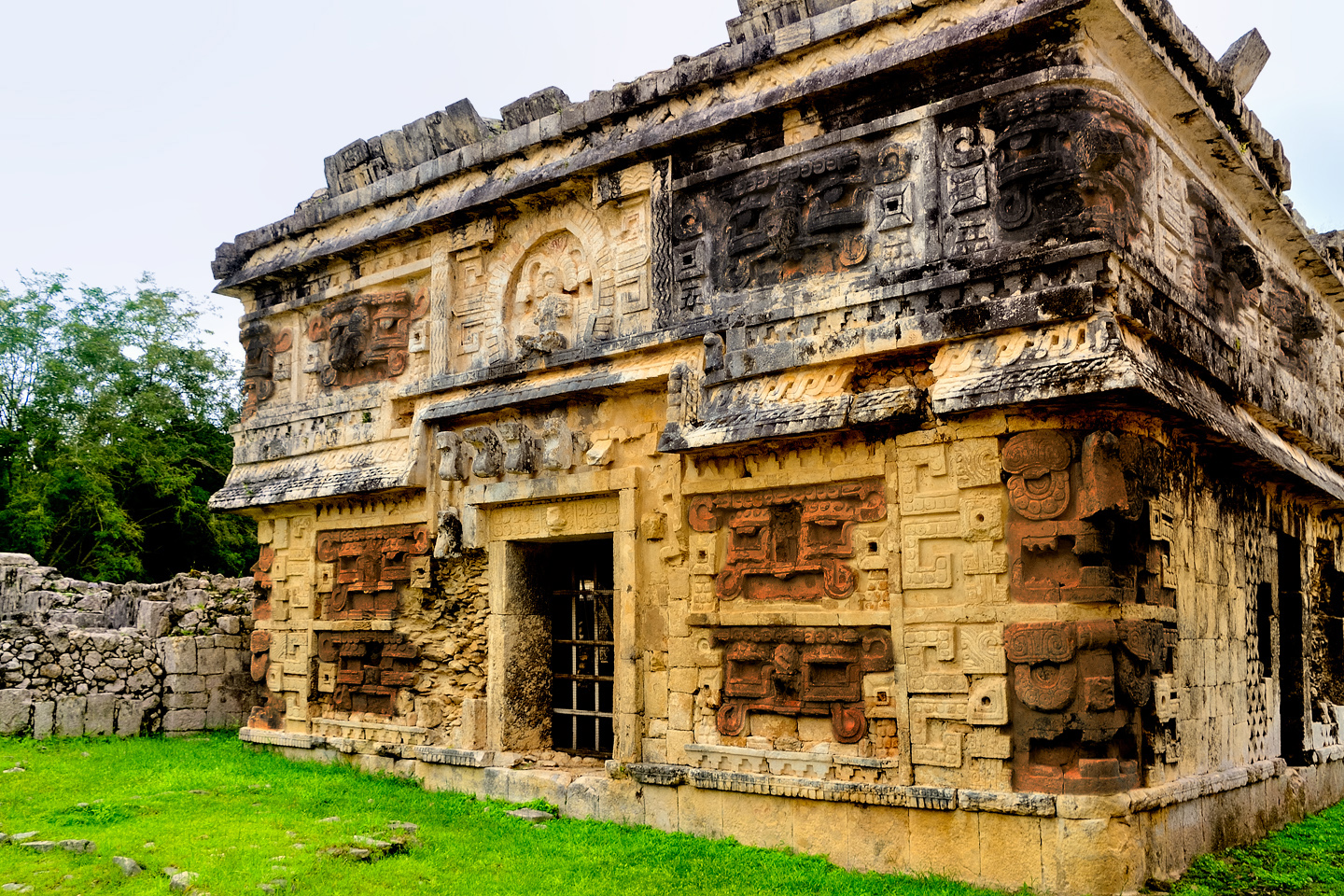
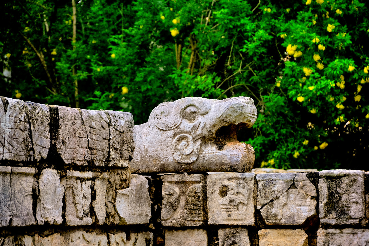
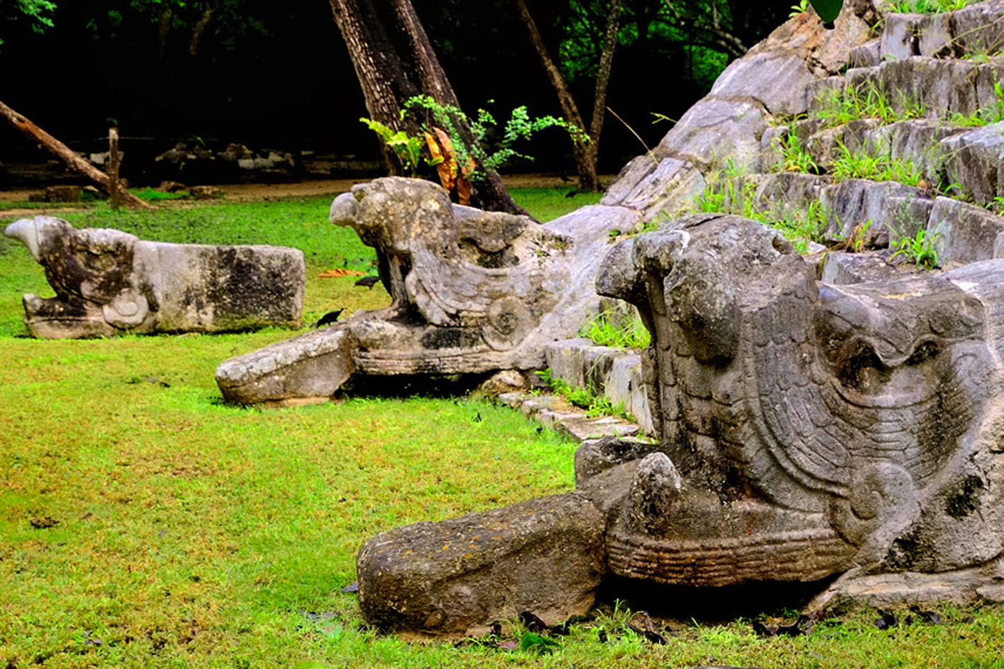
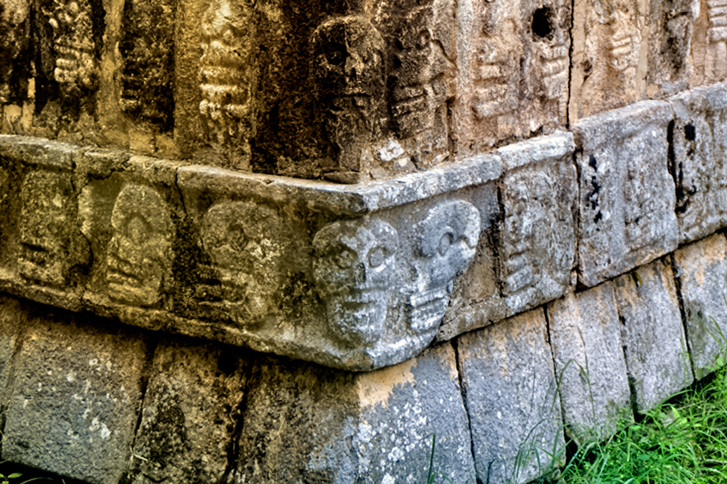
Chichén Itzá was built over the course of many hundreds of years. New temples were built atop older temples, and, depending on the era, the construction utilized a variety of architectural styles and building techniques. The main plaza, “New” Chichén, was the domain of Kukulkan, the feathered serpent, whose carved likeness seems to be everywhere. “Old” Chichén, built before the arrival of the Toltecs and their scaly deity, was the province of Chaac, the Mayan rain god, whose hooked proboscis protrudes from every corner of every building.
A building in Old Chichén known as the Iglesia, the church, a Puuc style structure featuring numerous depictions of Chaac, the big-nosed rain god
We walked back to the main plaza, and from there we followed the sacbe, the raised, stone bordered walkway that leads from the plaza to the Sacred Cenote, the Mayan well of Sacrifice. It was a little bit of a hike, from the south end of the complex all the way to the northernmost section. The Cenote was nothing more than a natural sinkhole in the limestone bedrock. It didn’t look like much, but in the age of the Maya, pools such as this were vitally important sources of fresh water, in a region without lakes, rivers, or streams.
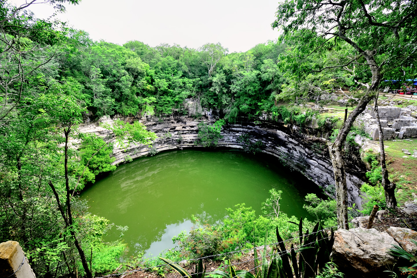
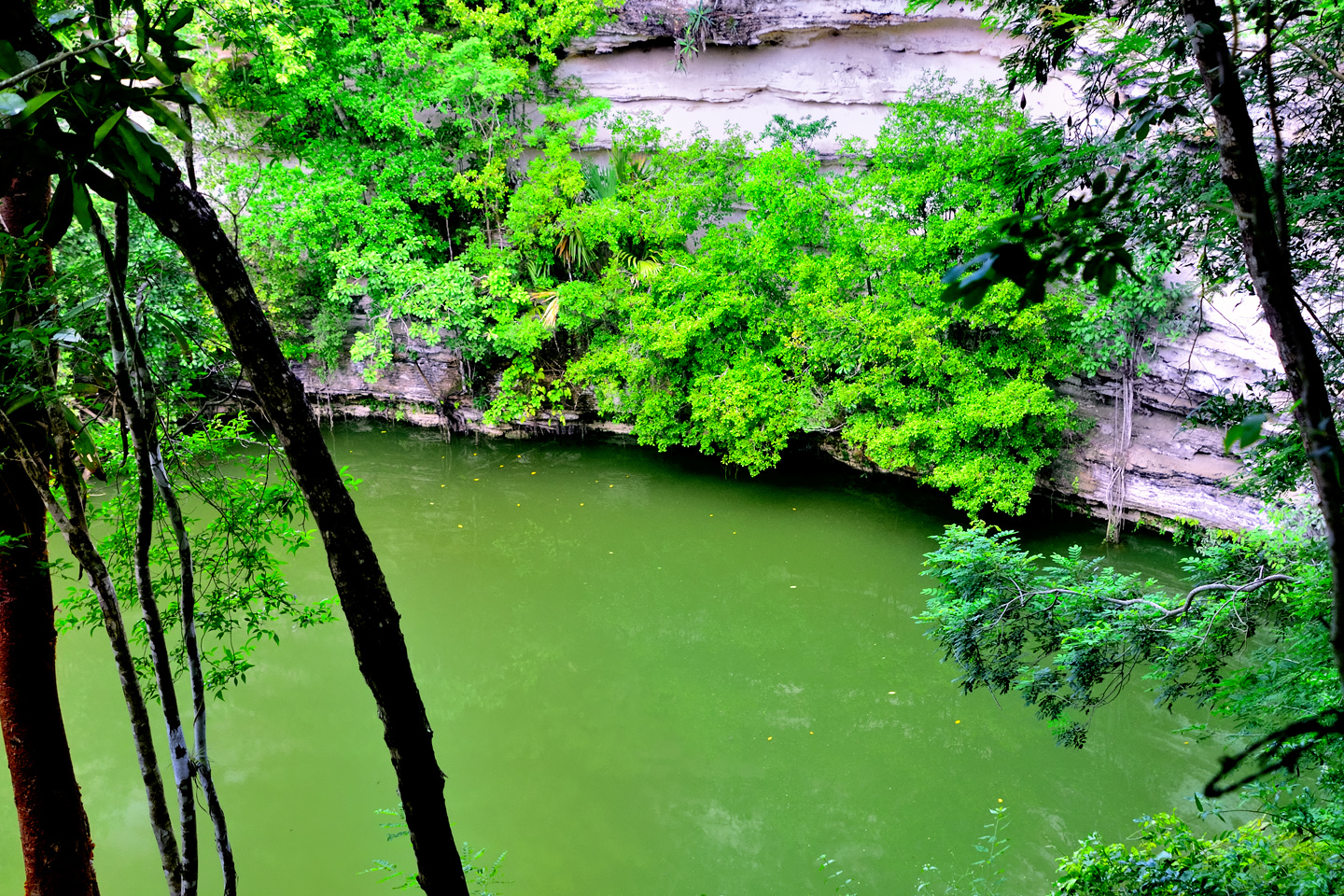
The Sacred Cenote at Chichén Itzá
This particular cenote served an additional purpose: it was considered a sacred portal that led directly to the underworld, and as such, was frequently used as a receptacle for sacrificial offerings, including human sacrifice. Pretty creepy!
About the time we finished checking out the Cenote, the first buses from Cancun pulled in to the lot, and disgorged the first batch of the day’s crop of visitors. Most of the new arrivals headed straight to the Snack Bar (and the Rest Rooms), while the rest charged toward the Castillo, at which point our “exclusive” photo session ground to a halt. The clouds were thicker than ever, and as we walked toward the exit, the first few drops of rain spattered down on us. It felt pretty good, to have timed our visit so perfectly!
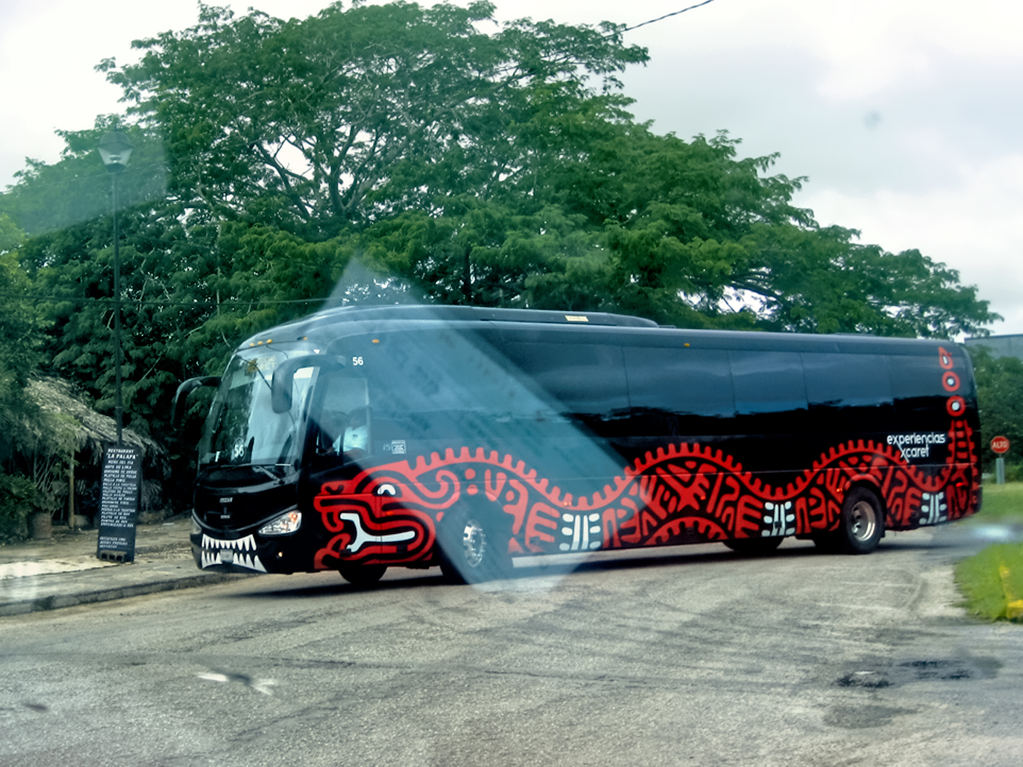
Typical Chichén Itzá tour bus, with a serpent motif. Before we left the parking lot, the attendant gave us driving directions to Cancun. (“Just keep to the right, and follow the signs!”)
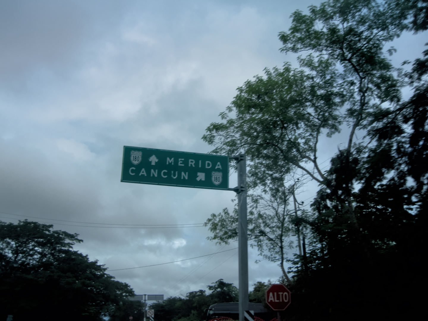
From Chichén Itzá, we were headed for Cancun, about a 2.5 hour drive on a paved divided highway. I wasn’t all that excited about going there, even though I’d never been. Cancun is a great place for vacations if you like beaches and nightclubs–but it was the wrong time of year for the former (the tail end of the rainy season), and, while I can’t really speak for Michael, my own days of partying in night clubs are pretty well behind me. Mostly, I was just curious to finally see the place for myself, after hearing about it for forty years!
As for Uxmal and Chichén Itzá, we’d seen enough of both Mayan cities to at least form an opinion. What was the final verdict? From the beginning, I’ll admit to being biased in favor of Uxmal, mostly because I found the crowds at Chichén Itzá such a turnoff. We’d successfully resolved that issue by going back a second time, before the daily herd of tour buses arrived. Stripped of that major difference, and focusing strictly on the ruins themselves, the competition pretty well evens out. Both sites are an incredible testament to the skill and the artistry of the builders, and each of them has unique features that you won’t see anywhere else. Anyone who is seriously interested in the Mayan Civilization owes it to themselves to visit both. The rest of you (90% of you, anyway) will ignore everything I’ve said, and you’ll follow the herd to Chichén Itzá. But, hey–it’s not like that’s a bad thing!
If you’d like to read more about Chichén Itzá, I have two earlier posts that delve more deeply into the details:

Photographer’s Assignment: Chichén Itzá
To get the best photos, arrive at the park before it opens at 8 AM. There will only be a handful of other visitors, and you’ll have the place practically all to yourself for as much as two hours! Take your time composing your perfect shot.There won’t be a single selfie stick in sight.
<<CLICK to Read More!>>

Chichén Itzá: Requiem for the Feathered Serpent
The feathered serpent with the unquenchable thirst for blood may be gone now, or at least fallen out of favor, but as long as the ruins of this ancient city remain standing, he won’t be forgotten.
<<CLICK to Read More!>>
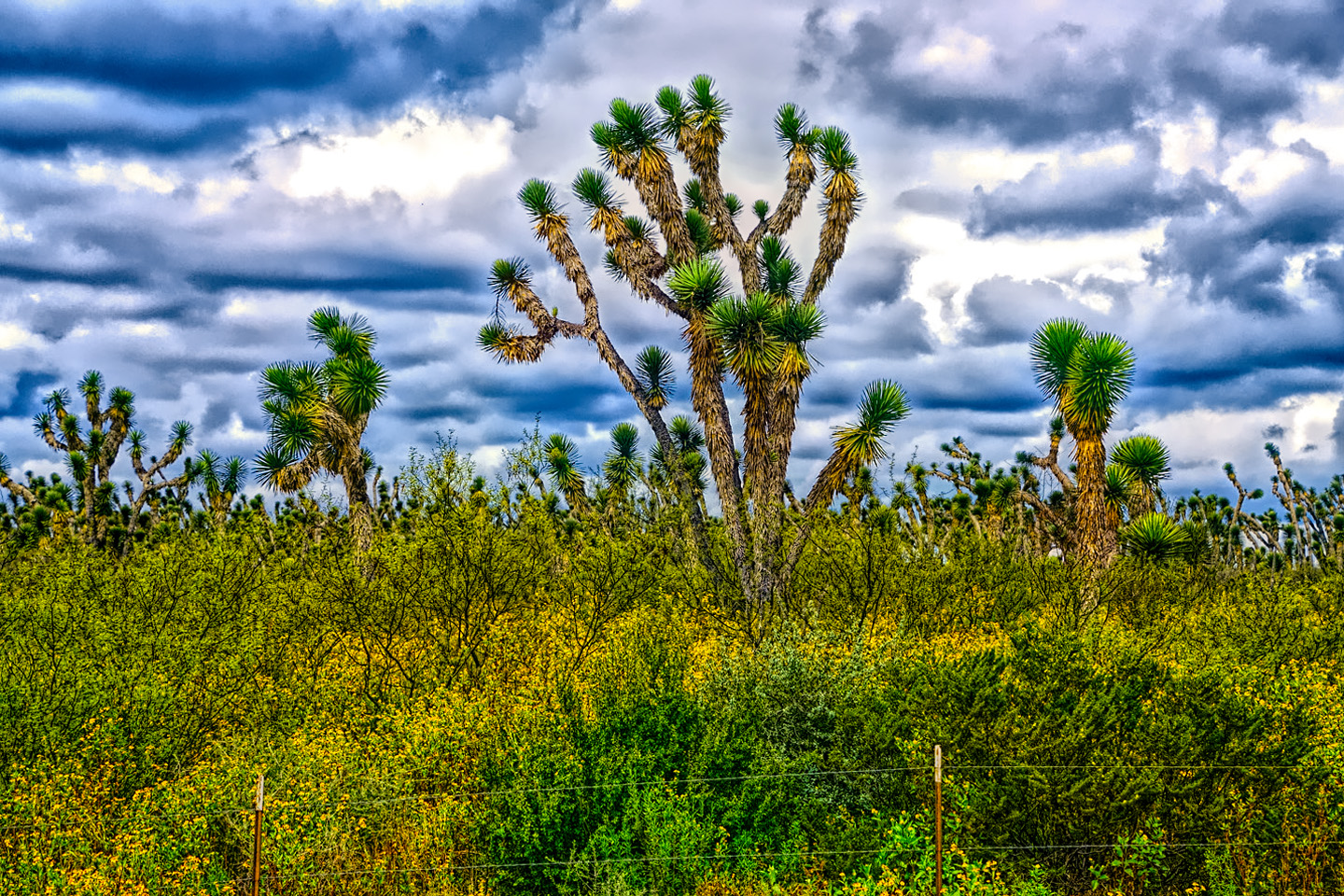
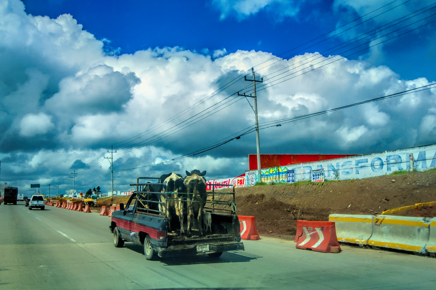
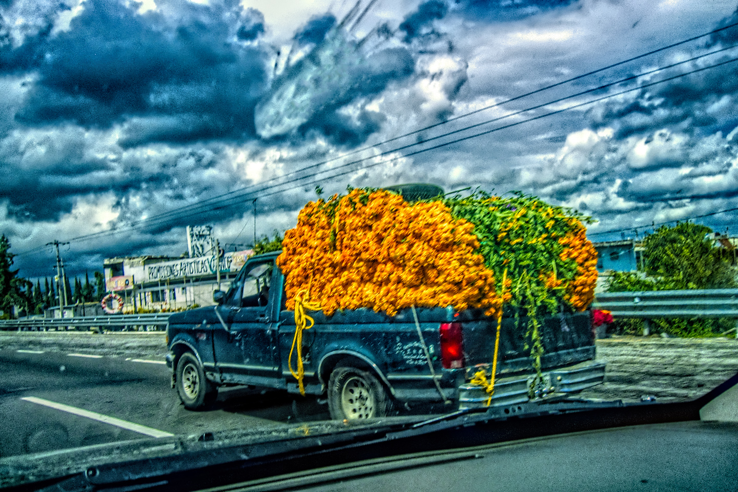
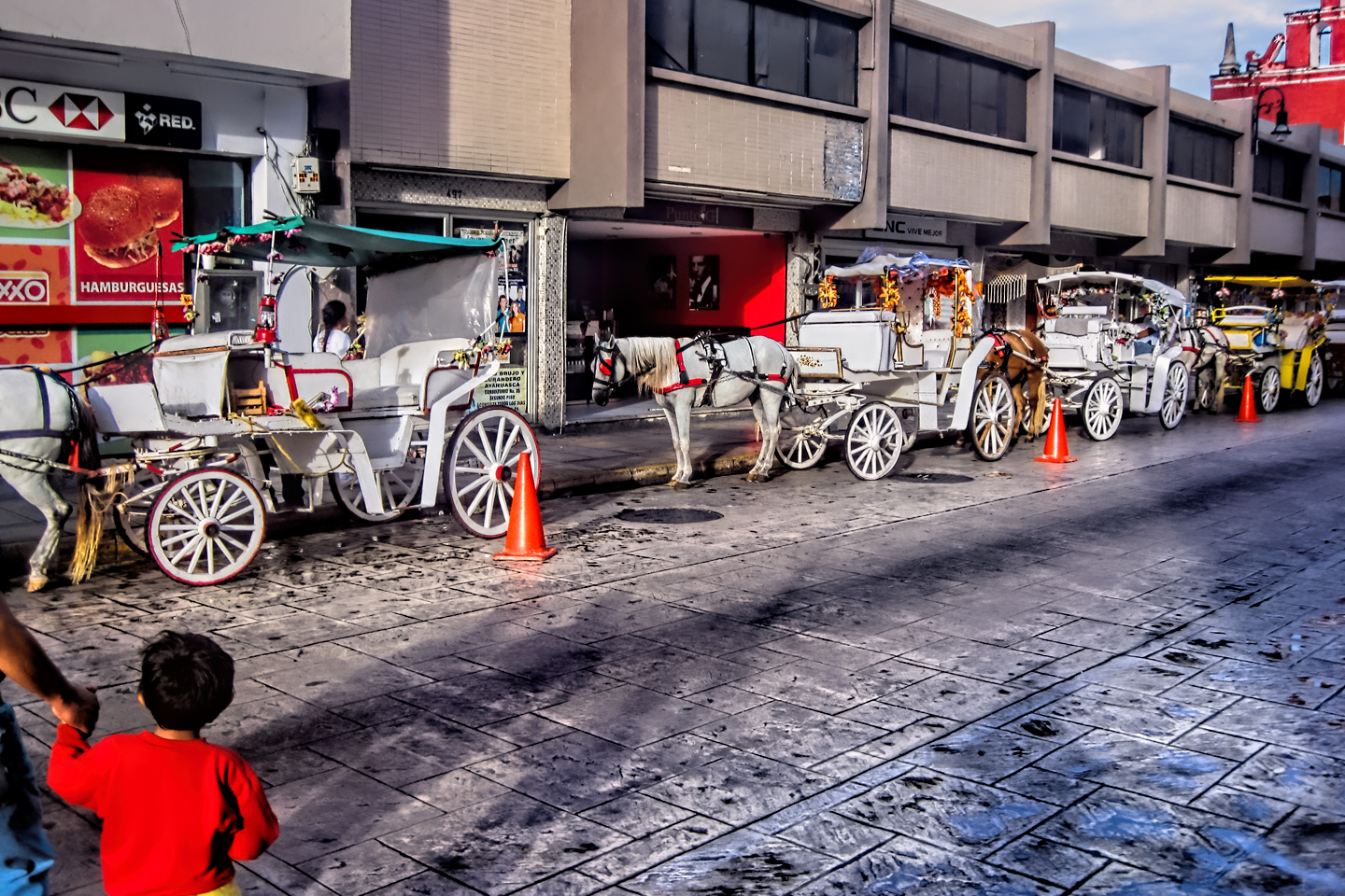
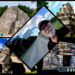
The photo collage below features additional photos taken on the road in Mexico by my inestimable shotgun rider, Michael Fritz.
(Unless otherwise noted, all other images are my original work, and are protected by copyright. They may not be duplicated for commercial purposes.)
Click any photo to expand the image to full screen
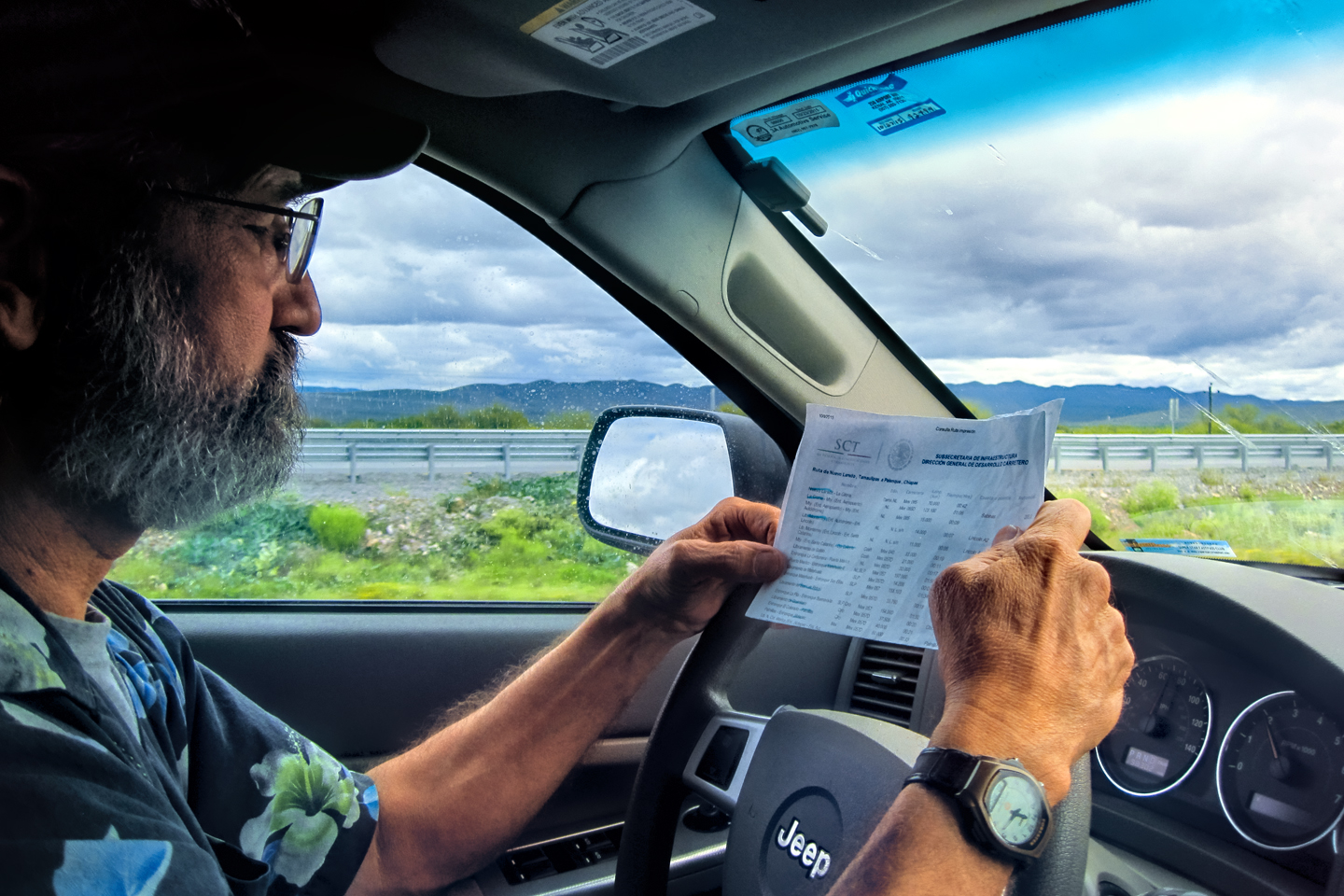
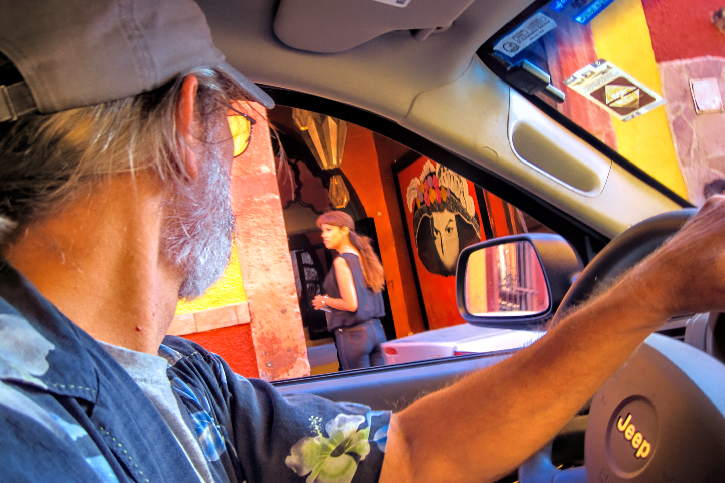
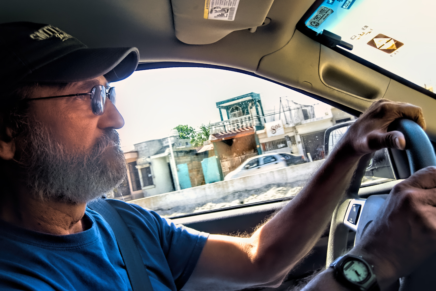
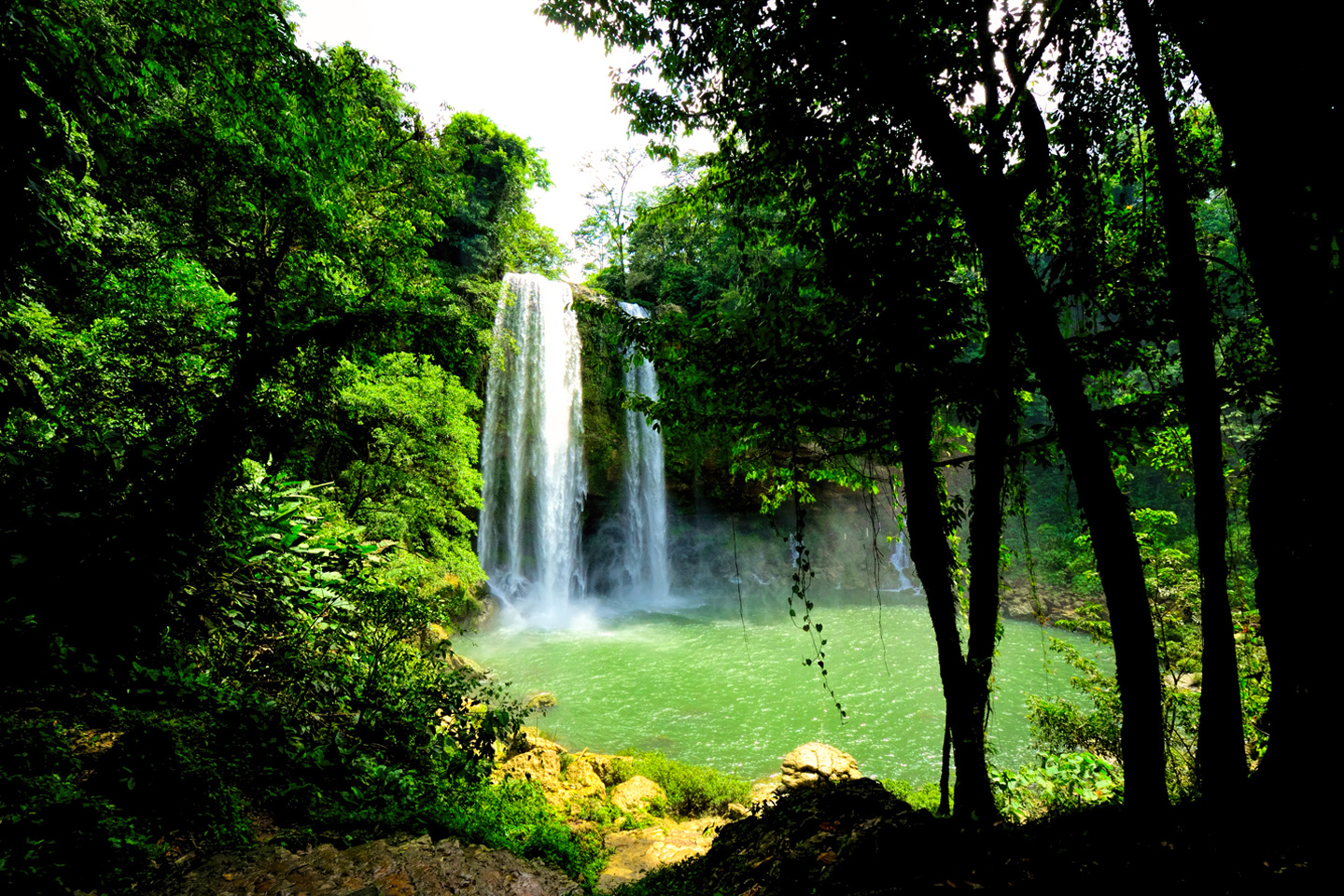
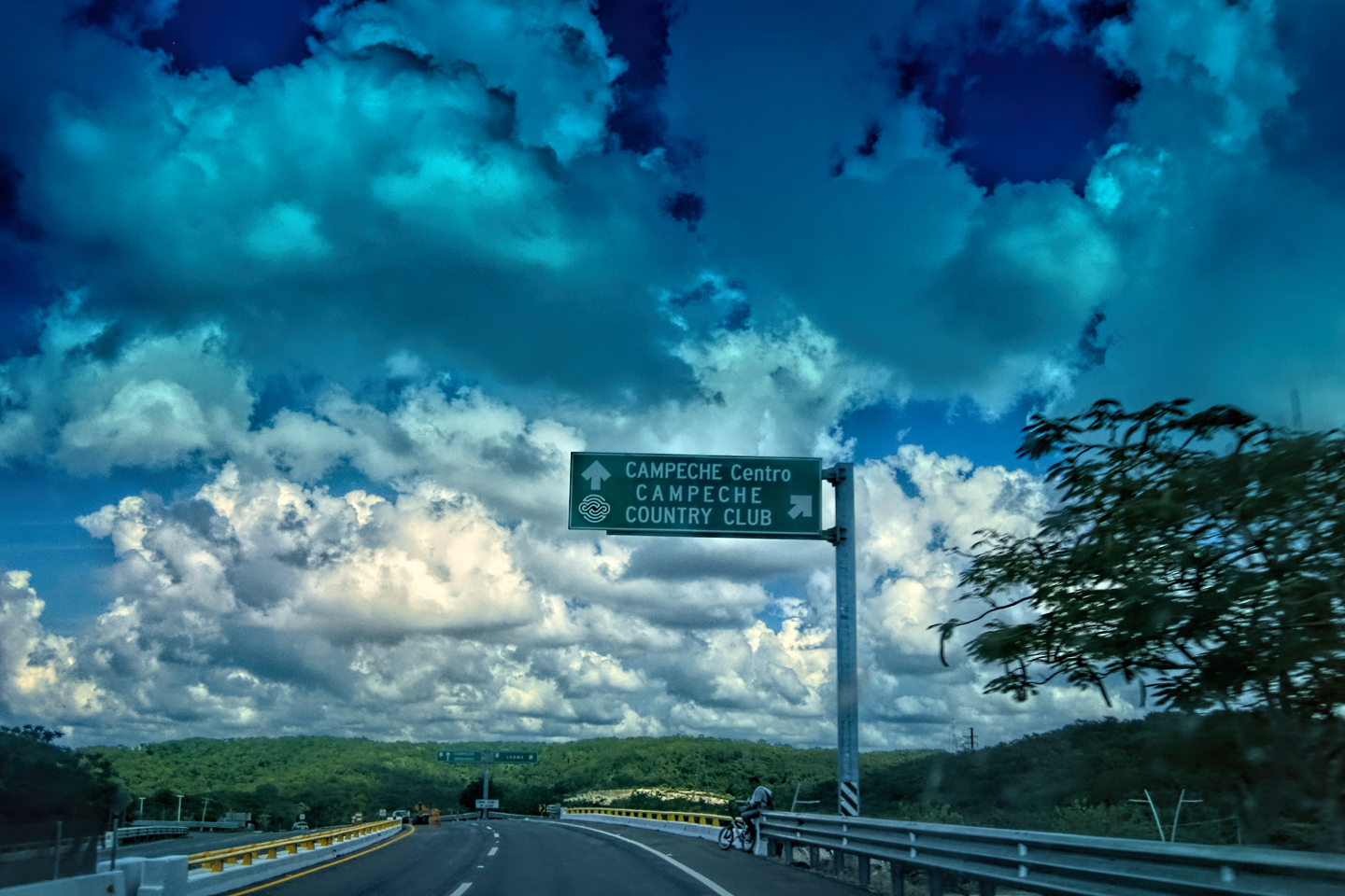
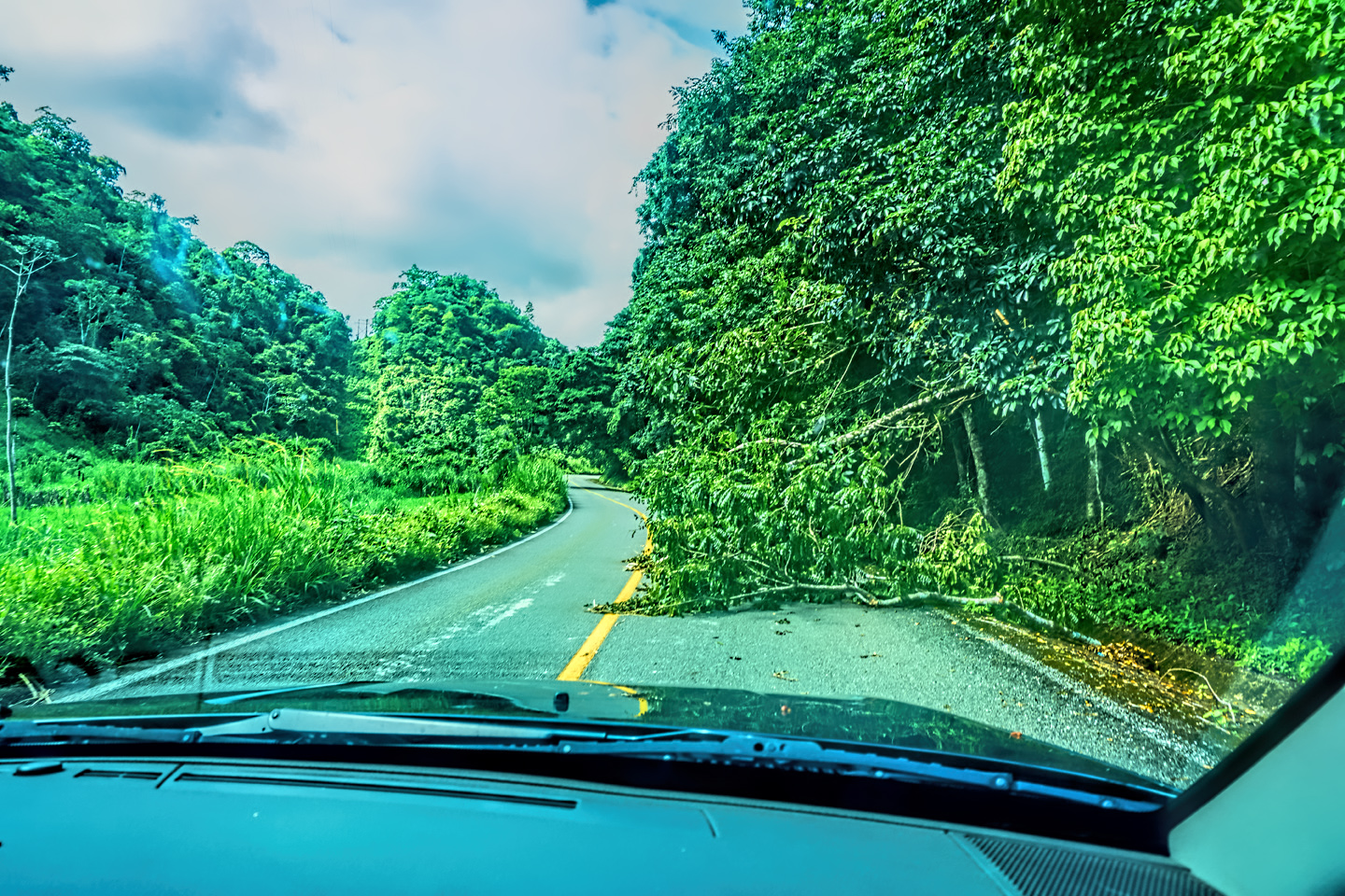
Michael Fritz. “Elmo,” 1949-2025
READ MORE LIKE THIS:
This is an interactive Table of Contents. Click the thumbnails to open the pages.
ON THE ROAD IN MEXICO

MEXICAN ROAD TRIP: HOW TO PLAN AND PREPARE FOR A DRIVE TO THE YUCATAN
The published threat levels are a “full-stop” deal breaker for the average tourist. That’s unfortunate, because Mexican road trips are fantastic! Yes, there are risks, but all you have to do to reduce those risks to to an acceptable level is follow a few simple guidelines.
<<CLICK to Read More!>>

Mexican Road Trip: Heading South, From Laredo to Villahermosa
When it was our turn, soldiers in SWAT gear surrounded my Jeep, and an officer with a machine gun gestured for me to roll down my window. He asked me where we were going. I’d learned my lesson in customs, and knew better than to mention the Yucatan. “We’re going to Monterrey,” I said, without elaborating.
He checked our ID’s and our travel documents, then handed them back. “Don’t stop along the way,” he advised. “You need to get off this road and to a safe place as quickly as you can!”
<<CLICK to Read More!>>

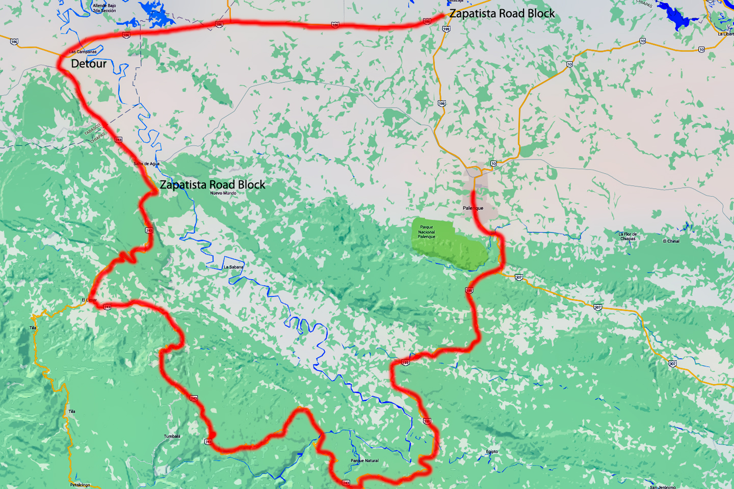
Mexican Road Trip: Zapatista Road Blocks in Chiapas
“Good morning,” I said. “We’re driving to Palenque. Will you allow us to pass?”
The leader of the group, a young Mayan lad, walked up beside my Jeep, and fixed me with a menacing glare. “The road is closed,” he said, keeping his hand on the hilt of his machete. “By order of the Ejército Zapatista de Liberación Nacional!”
“Is it closed to everyone?” I asked innocently. “How about if we pay a toll? How much would the toll be?”
He gave me an even more menacing glare. “That will cost you everything you’ve got,” he said gruffly, brandishing his machete, while his companions did the same.
<<CLICK to Read More!>>

Mexican Road Trip: Mayan Ruins and Waterfalls in the Lacandon Jungle
The next morning, we were waiting at the entrance to the Archaeological Park a half hour before they opened for the day. We were the only ones there, so they let us through early, and I had the glorious privelege of photographing that wonderful ruin in the golden light of early morning, without a single fellow tourist cluttering my view.
<<CLICK to Read More!>>

Mexican Road Trip: Merida and the Meridanos
Merida is the largest city in southern Mexico, with a population of almost a million. Statistically, Yucatan is the safest of Mexico’s states, and Merida is widely considered the safest of all Mexico’s cities.
<<CLICK to Read More!>>


Mexican Road Trip: Cancún, Tulum, and the Riviera Maya
The millions of tourists who fly directly to Cancún from the U.S. or Canada are seeing the place out of context. They can’t possibly appreciate the fact that they’re 2,000 miles south of the border; a whole country, a whole culture, a whole history away from the U.S.A. Just looking around, on the surface? The second largest city in southern Mexico could easily pass for a beach town in Florida.
<<CLICK to Read More!>>

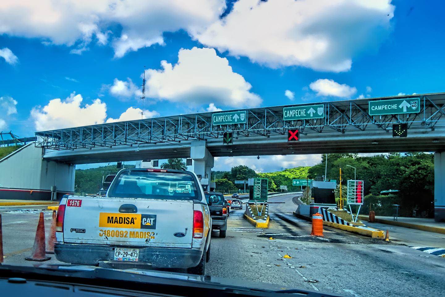
Mexican Road Trip: Circling the Yucatan, from Quintana Roo to Campeche
The Castillo at Muyil isn’t huge, as Mayan pyramids go, topping out at just over 50 feet, but it’s definitely imposing. Try to imagine: the equivalent of a five story building, with a three story grand staircase, just appearing, out in the middle of nowhere? Boo-yah!
<<CLICK to Read More!>>

Mexican Road Trip: Edzná, and Campeche, Where They Dance La Guaranducha
La Guaranducha, a traditional dance from Campeche, is a celebration of life, community, and the joy of existence. On stage, there was a group of young men and women in traditional dress, but it was clear that the guys were little more than props, because all eyes were on the girls. So colorful, and so elegant, hiding coyly behind their pleated, folding hand fans.

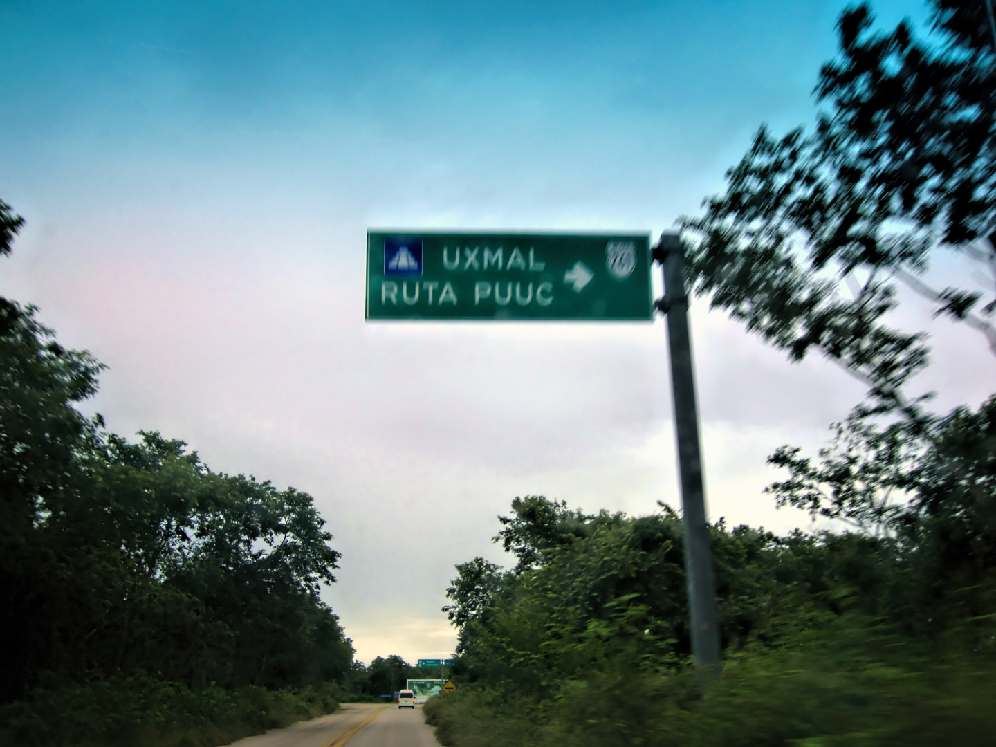
Mexican Road Trip: Adventures Along the Puuc Route
All of these communities in the Puuc region were allied, politically, culturally, economically, and socially. The Puuc was the cradle of the Golden Age of the Maya. Labna and Sayil were among the brightest jewels in the crown of a realm that never quite coalesced into an empire.
<<CLICK to Read More!>>

Mexican Road Trip: The Road to Bonampak
Rainwater seeping through the limestone walls of the temple soaked the Bonampak Murals with a mineral-rich solution that, each time it dried, left behind a sheen of translucent calcite. The built-up coating protected the paintings for more than 1200 years. As a result, we’re left with the finest examples of ancient art from the Americas to have survived into our modern era.

Mexican Road Trip: Crossing the Chiapas Highlands, to San Cristobal de las Casas
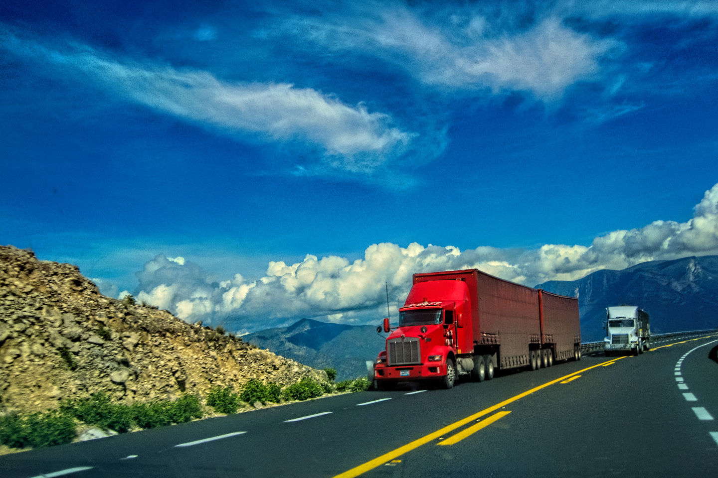
MX 199 crosses the Chiapas Highlands from Palenque to San Cristobal de las Casas. The distance is only 132 miles, but it’s 132 miles of curvy mountain roads with switchbacks, steep grades, slow trucks, and villages chock-a-block with topes and bloqueos, unofficial road blocks. Everything I read, and everything I heard, described the drive as alternatively spectacular, dangerous, and fascinating, in seemingly equal measure.

Mexican Road Trip: Cruising the Sierra Madre, from San Cristobal to Oaxaca
Today, we’d be driving as far as the city of Oaxaca, 380 miles of curves, switchbacks, and rolling hills that would require at least ten hours of our full attention, crossing the Sierra Madre de Chiapas, and entering the rugged, agave-studded landscape of the Sierra Madre de Oaxaca. If you’d like to know what that was like, read on!

Mexican Road Trip: Flashing Lights in the Rear View: Officer Plata and La Mordida
As we drove away from the toll plaza, a State Police car that had been parked off to one side made a fast U-Turn and started following me. A moment later, he turned on his flashers and gave me a short blast on his siren, motioning for me to pull over. Two uniformed policemen got out, and approached me on the driver’s side. One of them hung back, apparently checking out my license plate before making a phone call.
I wasn’t sure if I was being stopped for some infraction, or if these guys were just fishing…

Mexican Road Trip: Three Days of the Dead in San Miguel de Allende
By mid-afternoon, the Jardin was beginning to fill with people. Painted faces were literally everywhere! It was like a costume party, but the venue wasn’t some hall or other indoor space, it was the whole entire town! Mike and I were definitely getting into the spirit of the thing–but we still drew the line at the notion of painting our beards…
Mexican Road Trip: Back to the Border: San Miguel de Allende to Eagle Pass
Saltillo was our crossroads: if we turned east here, we’d be retracing our previous route to the border at Nuevo Laredo–along the Highway of Death! This time, we knew better, so we turned north, toward Monclova, and Piedras Negras.


Southern Colonials: Merida, Campeche, and San Cristobal
Visiting the Spanish Colonial cities of Mexico is almost like traveling back in time. Narrow cobblestone streets wind between buildings, facades, and stately old mansions that date back three hundred years or more, along with beautiful plazas, parks, and soaring cathedrals, all of similar vintage.
<<CLICK to Read More!>>

San Miguel de Allende, Mexico’s Colonial Gem
If you include the chilangos, (escapees from Mexico City), close to 20% of the population of San Miguel de Allende is from somewhere else, a figure that includes several thousand American retirees.
<<CLICK to Read More!>>

Day of the Dead in San Miguel de Allende
In San Miguel de Allende, they’ve adopted a variation on the American version of Halloween and made it a part of their Day of the Dead celebration. Costumed children circle the square seeking candy hand-outs from the crowd of onlookers. It’s a wonderful, colorful parade that’s all about the treats, with no tricks!
<<CLICK to Read More!>>
DIA DE LOS MUERTOS: A GALLERY OF PHOTOGRAPHS
<<CLICK to view Gallery>>


IN THE LAND OF THE MAYA

Palenque: Mayan City in the Hills of Chiapas
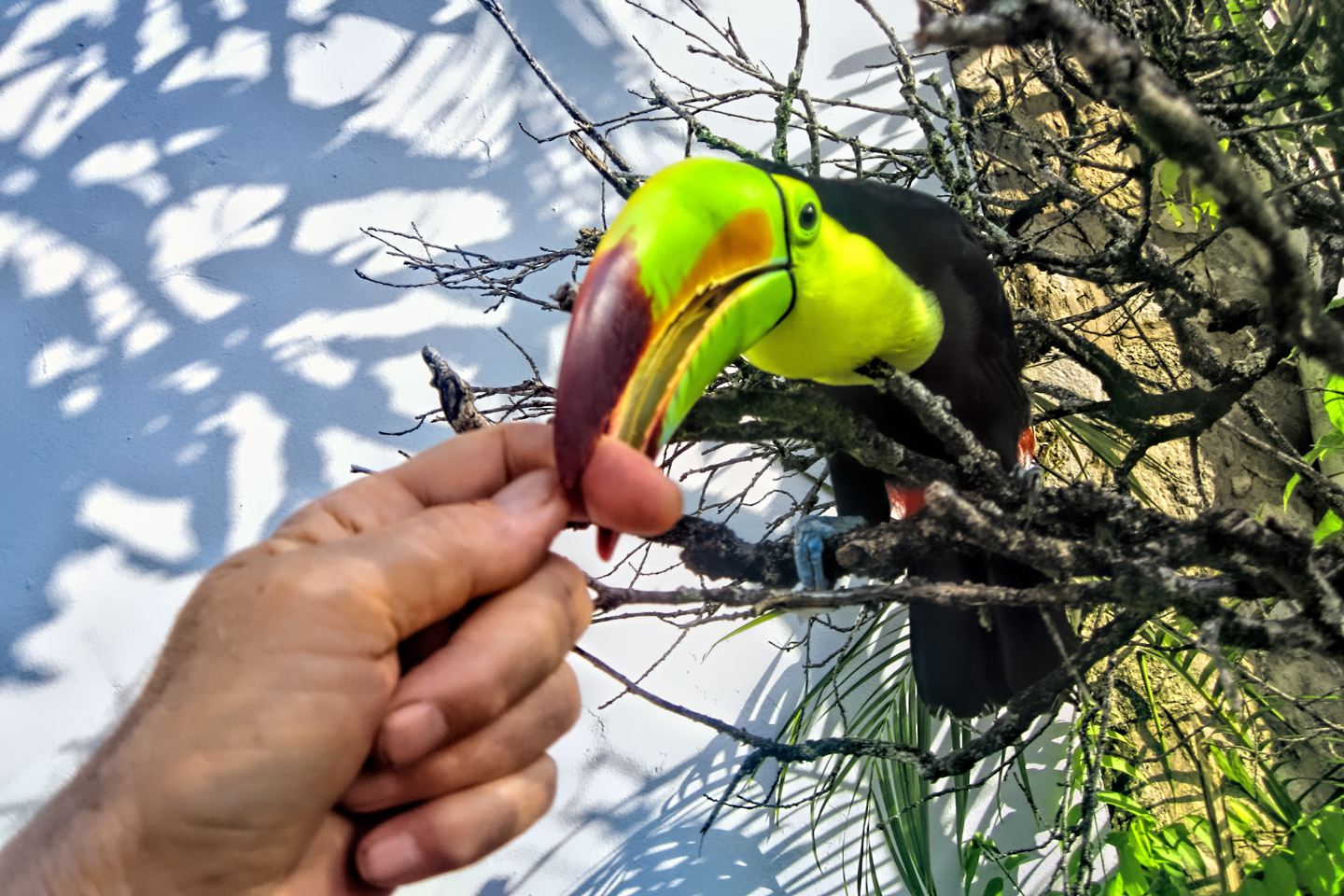
Palenque! Just hearing the name conjures images of crumbling limestone pyramids rising up out of the the jungle, of palaces and temples cloaked in mist, ornate stone carvings, colorful parrots and toucans flitting from tree to tree in the dense forest that constantly encroaches, threatening to swallow the place whole.
<<CLICK to Read More!>>

Uxmal: Architectural Perfection in the Land of the Maya
The Pyramid of the Magician is one of the most impressive monuments I’ve ever seen. There’s a powerful energy in that spot–maybe something to do with all the blood that was spilled on the altars of human sacrifice at the top of those impossibly steep steps–but more than any building or other structure at any ancient ruin I’ve ever visited, more than any demonic ancient sculpture I’ve ever seen, that pyramid at Uxmal quite frankly scared the hell out of me!
<<CLICK to Read More!>>

The Mayan City of Edzná: First House of the Itzás
The Mayan Edzná is nothing less than epic, lyrical poetry, an extraordinary sonnet comprised of temples and palaces carved in stone that have stood, in regal grandeur, for more than a thousand years.
<<CLICK to Read More!>>
Photographer’s Assignment: Chichén Itzá
To get the best photos, arrive at the park before it opens at 8 AM. There will only be a handful of other visitors, and you’ll have the place practically all to yourself for as much as two hours! Take your time composing your perfect shot.There won’t be a single selfie stick in sight.
<<CLICK to Read More!>>
Chichén Itzá: Requiem for the Feathered Serpent
The feathered serpent with the unquenchable thirst for blood may be gone now, or at least fallen out of favor, but as long as the ruins of this ancient city remain standing, he won’t be forgotten.
<<CLICK to Read More!>>

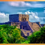
Tulum: The City that Greets the Dawn
Tulum is not all that large, as Mayan sites go, but its spectacular location, right on the east coast of the Yucatan Peninsula, makes it one of the best known, and definitely one of the most picturesque.
<<CLICK to Read More!>>

Cobá and Muyil: Mayan Cities in Quintana Roo
Cobá was a trading hub, positioned at the nexus of a network of raised stone and plaster causeways known as the sacbeob, the white roads, some of which extended for as much as 100 kilometers, connecting far-flung Mayan communities and helping to cement the influence of this powerful city.
<<CLICK to Read More!>>

Becan and Chicanná: Mayan Cities in the Rio Bec Style
Much about the Rio Bec architectural style was based on illusion: common elements include staircases that go nowhere and serve no function, false doorways into alcoves that end in blank walls, and buildings that appear to be temples, but are actually solid structures with no interior space.
<<CLICK to Read More!>>

The Puuc Hills: Apex of Mayan Architecture
The Puuc style was a whole new way of building. The craftsmanship was unsurpassed, and some of the monumental structures created in this period, most notably the Governor’s Palace at Uxmal, rank among the greatest architectural achievements of all time.
<<CLICK to Read More!>>

The Amazing Mayan Murals of Bonampak
Out of that handful of Mayan sites where mural paintings have survived, there is one in particular that stands head and shoulders above the rest. One very special place. Down by the Guatemalan border, in a remote corner of the Mexican State of Chiapas: a small Mayan ruin known as Bonampak.
<<CLICK to Read More!>>
A shout out to my old friend Mike Fritz (aka Mr. Whiskers), my shotgun rider on my Mexican Road Trip. “Drive to the Yucatan and See Mayan Ruins” was at the top of my post-retirement bucket list, right after “Drive the Alaska Highway and see Denali.” We checked off the whole Yucatan thing in a major way, and Mike was a heck of a good sport about it.
Road trips with old friends are the absolute best. We laugh and we laugh until we run out of breath, and laughter is good for the soul!


There’s nothing like a good road trip. Whether you’re flying solo or with your family, on a motorcycle or in an RV, across your state or across the country, the important thing is that you’re out there, away from your town, your work, your routine, meeting new people, seeing new sights, building the best kind of memories while living your life to the fullest.
Are you a veteran road tripper who loves grand vistas, or someone who’s never done it, but would love to give it a try? Either way, you should consider making the Southwestern U.S. the scene of your own next adventure.
A few years ago I wrote a book about road trips in Arizona and New Mexico that’s a lot like this website, packed with interesting information, and illustrated with beautiful photographs. Check it out! You can find it on Amazon, and at all other major booksellers.

ALASKA ROAD TRIP:
MEXICAN ROAD TRIP (IN THE LAND OF THE MAYA):
ARIZONA AND NEW MEXICO:
SOUTH AMERICA:
PHOTOGRAPHY:
TRIBAL LANDS:

Recent Comments