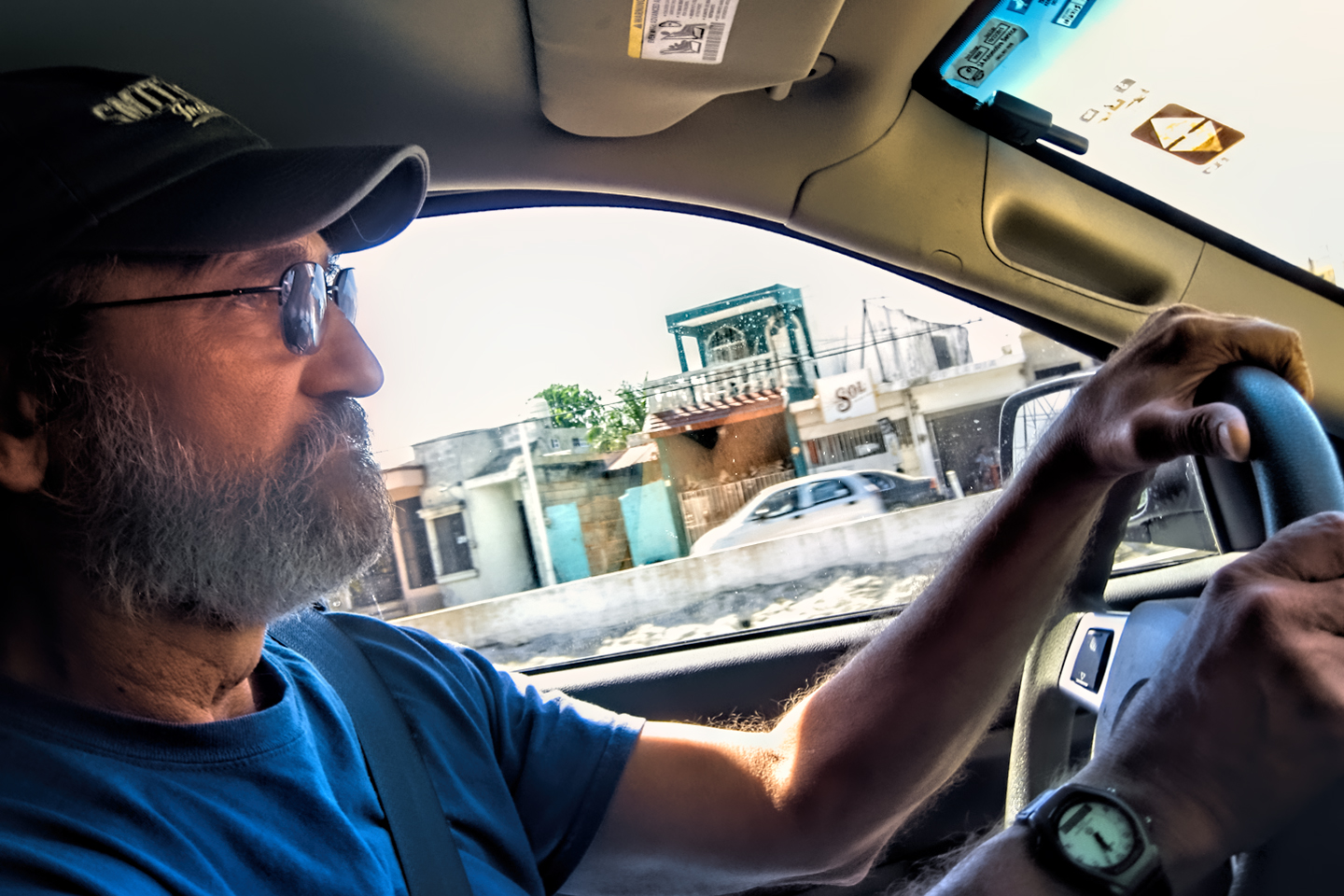
DAY 20: A World Class Drive!
From: PALENQUE
To: SAN CRISTOBAL DE LAS CASAS
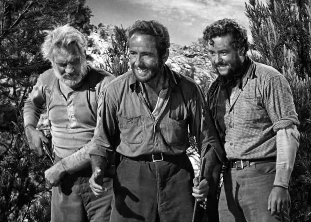
I’m probably dating myself when I say this, but when I think of the Sierra Madre, the mountain range in Mexico, the image that pops into my mind is all black and white and shades of gray, a backdrop for Humphrey Bogart and Walter Huston, grizzled prospectors digging for gold in an arid, rocky wilderness. The mountains used as a setting in The Treasure of the Sierra Madre, one of my all-time favorite movies, were actually the real thing, as most of the film was shot on location in the Mexican State of Durango. That means my mental image, drawn strictly from my memory of that old movie, is surprisingly accurate. But only as far as it goes.
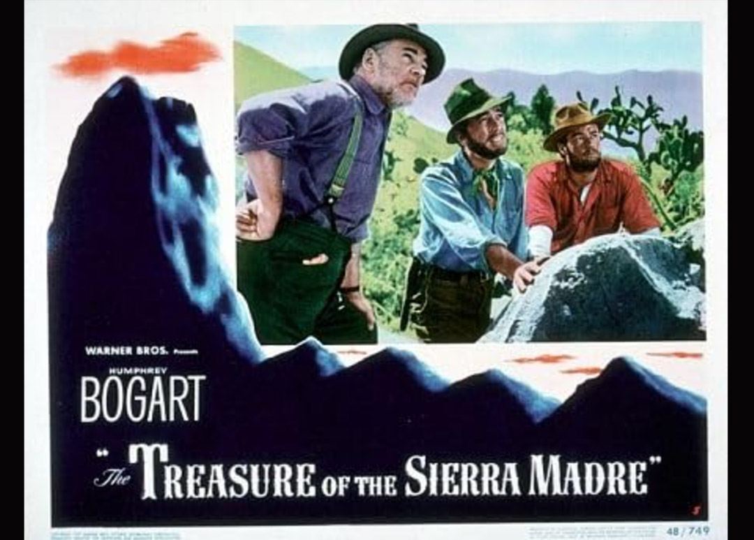
“The Treasure of the Sierra Madre,” 1948
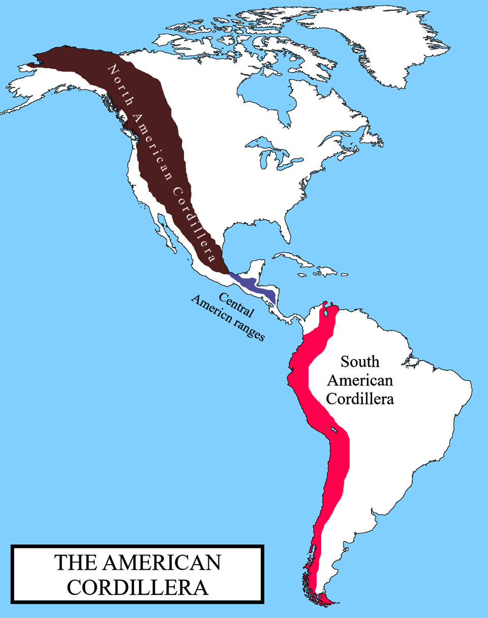
Here’s the deal: More than half of the mountains in Mexico, from the top all the way to the bottom, from the deserts to the jungles and all the volcanoes in between, are nominally considered the Sierra Madre, which is really just a sub-set of one of the world’s greatest mountain ranges: the American Cordillera, the longitudinal hump in the landscape that runs from Alaska all the way to Southern Chile. Once you cross the border into Mexico, the great range becomes the “Mother Mountains” and there are three distinct sections:
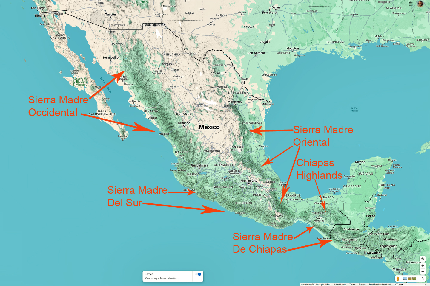
The Sierra Madre Occidental, which runs parallel to Mexico’s West Coast, from the border as far as the State of Michoacan.
The Sierra Madre Oriental, which parallels the Gulf Coast from the Rio Grande south as far as Puebla.
The Sierra Madre del Sur, which begins where the Sierra Madre Occidental leaves off, also parallel to the West Coast, extending from southern Michoacan to the Isthmus of Tehuantepec.
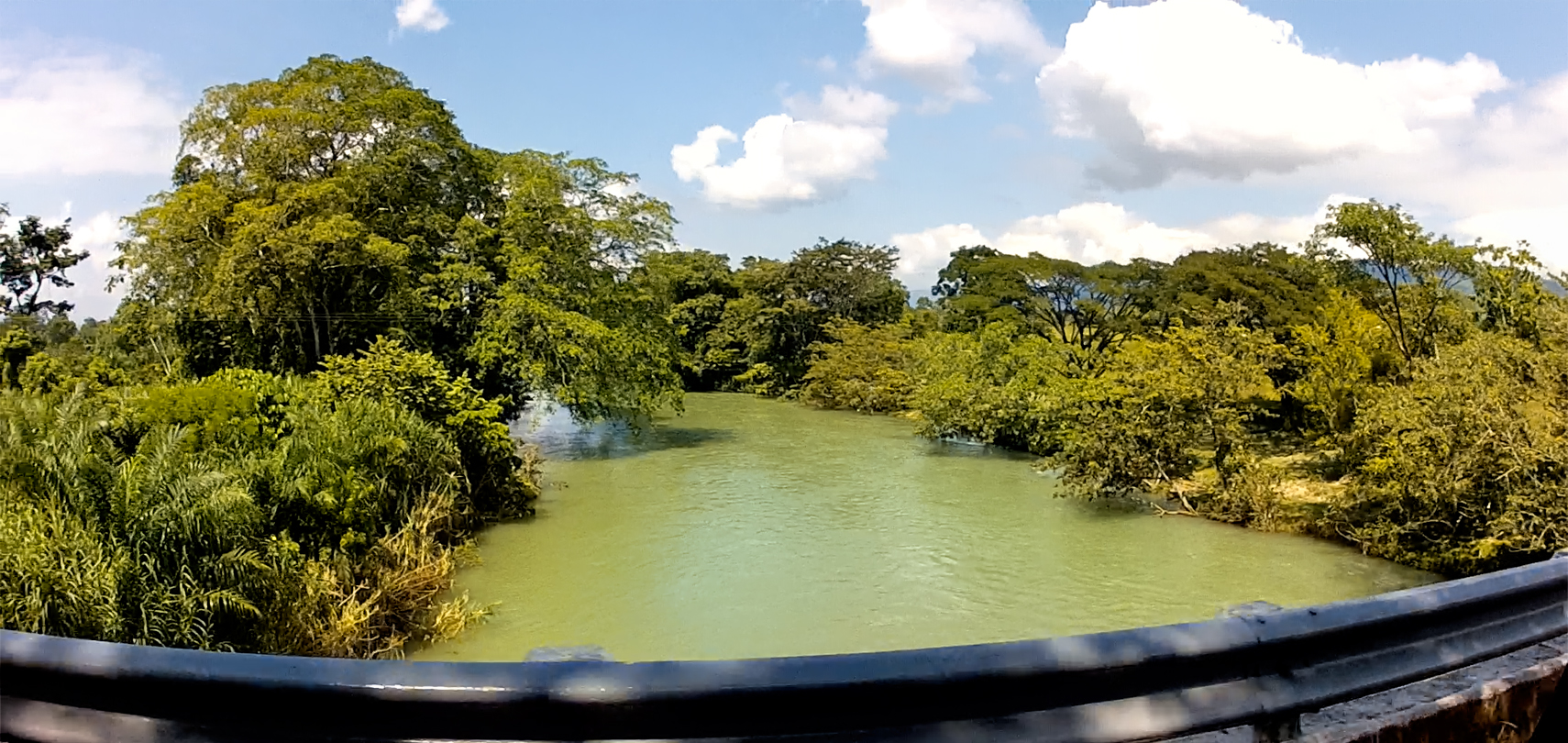
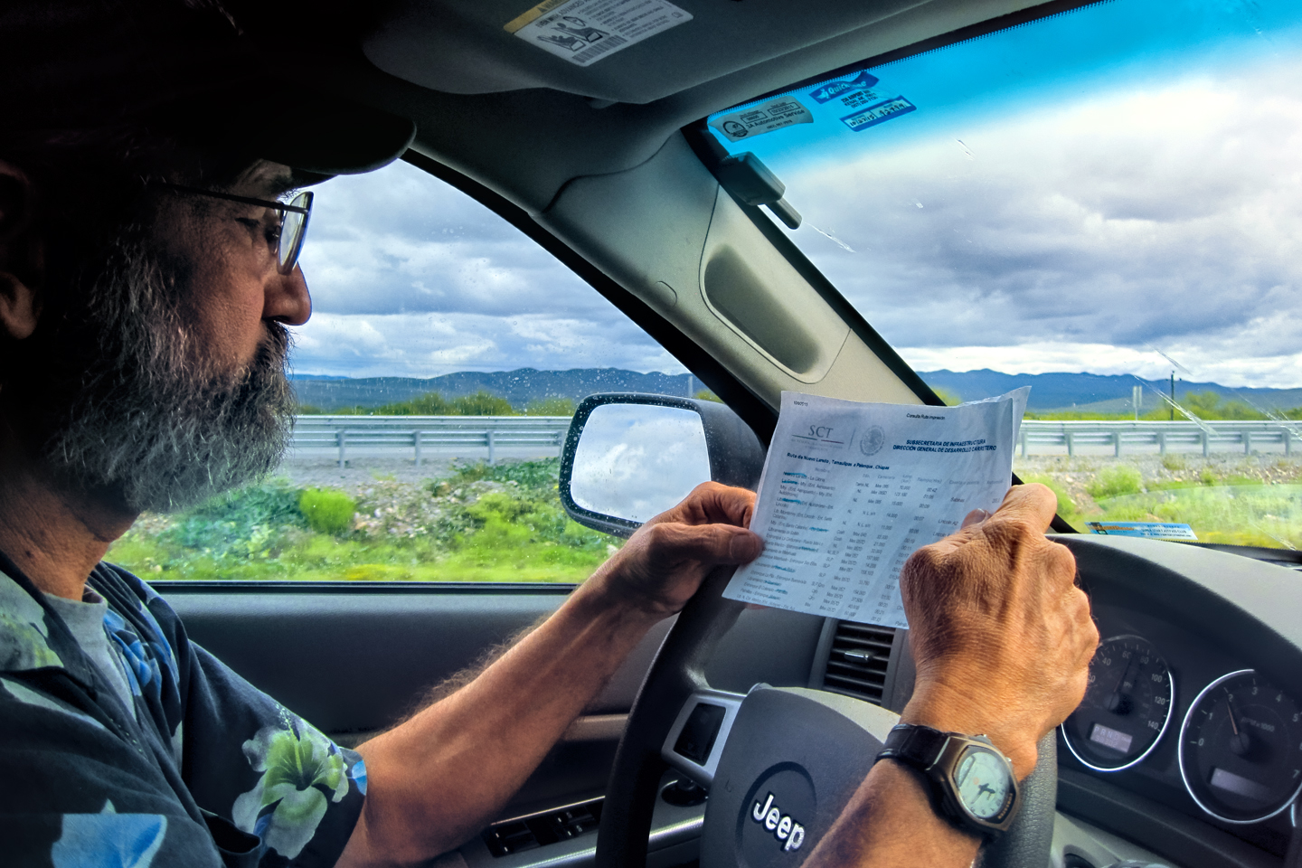
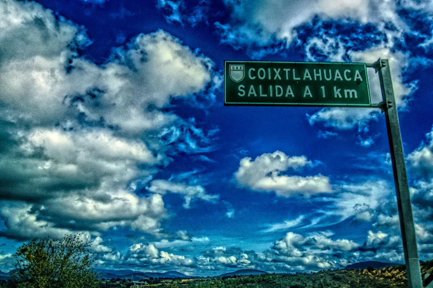
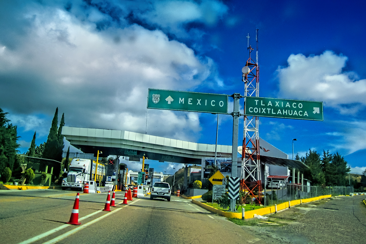
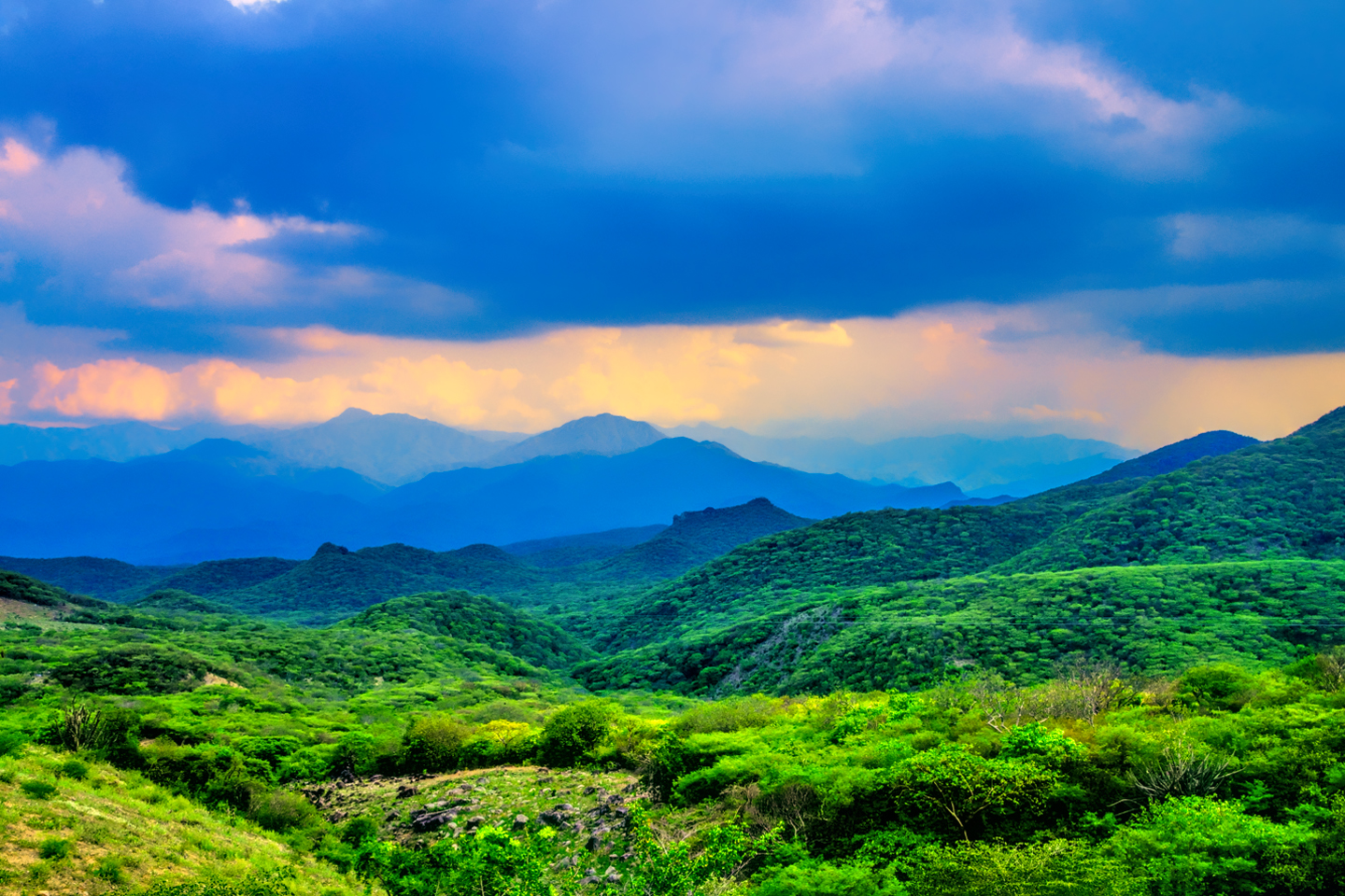
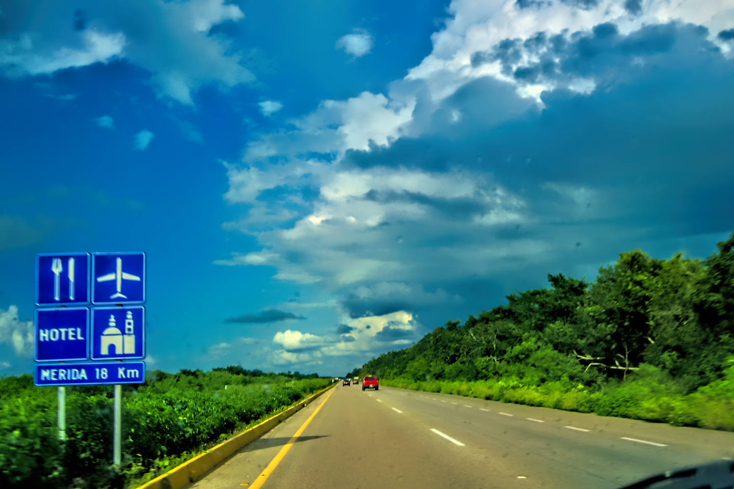
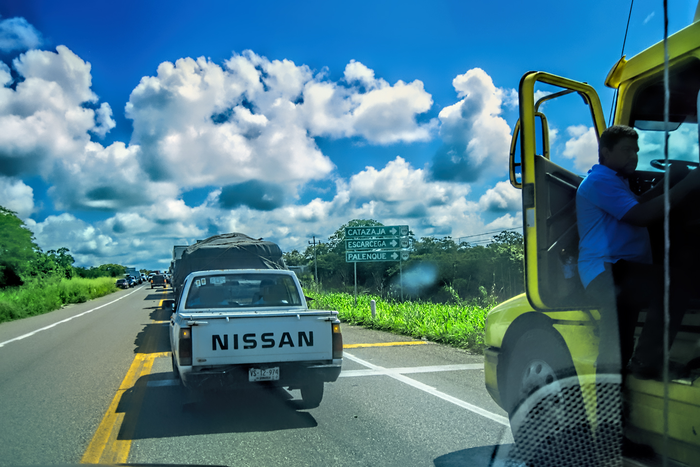
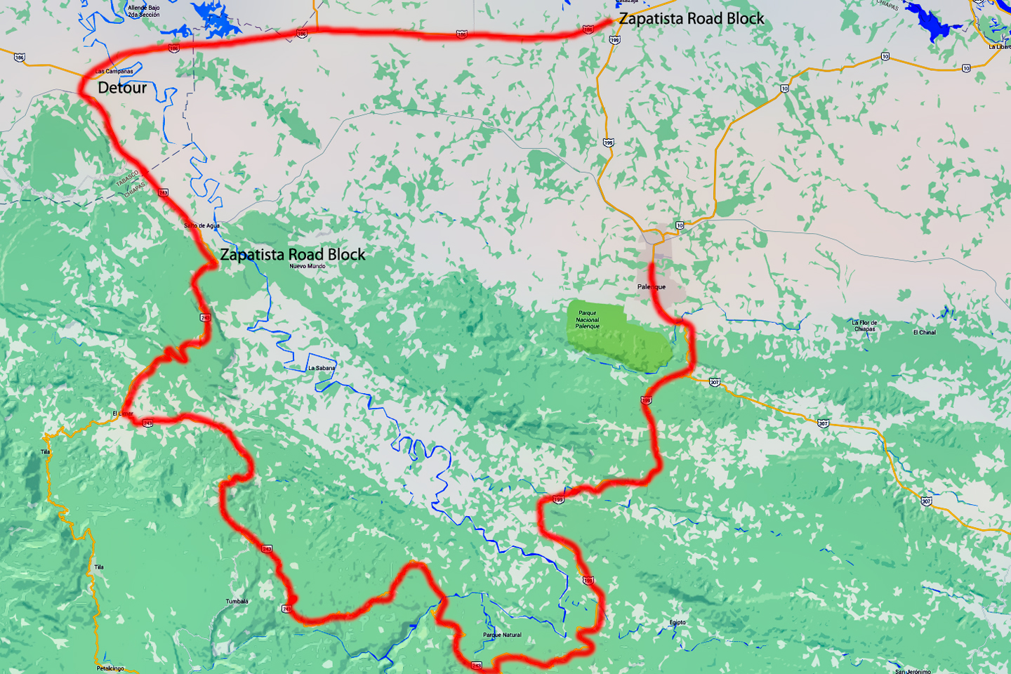
The Sierra Madre de Chiapas, which picks up where the Sierra Madre del Sur leaves off, is not typically considered a part of Mexico’s Sierra Madre system. This seperate range parallels the coast beginning in Oaxaca, then extends southward into Guatemala, El Salvador, and Honduras. (See map). There are actually two parts to the Sierra Madre de Chiapas: that coastal range, and, to the north, a mountainous plateau known as the Chiapas Highlands. MX 199, the route we planned to take, crosses the whole of the highlands from north to south. The distance from Palenque to San Cristobal de las Casas was only 132 miles, but it’s 132 miles of curvy mountain roads with switchbacks, steep grades, slow trucks, and villages chock-a-block with topes and bloqueos, unofficial road blocks. Google rated the drive at just over five hours, and it was likely to require at least that. Everything I read, and everything I heard, rated the drive as alternatively spectacular, dangerous, and fascinating, in seemingly equal measure.
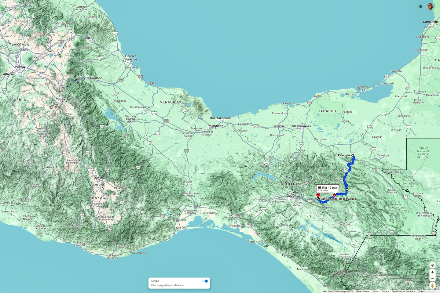
The Isthmus of Tehuantepec, where the distance from the Gulf of Mexico to the Pacific Ocean is just 137 miles. Map shows the relative location of MX 199 and the Chiapas Highlands.
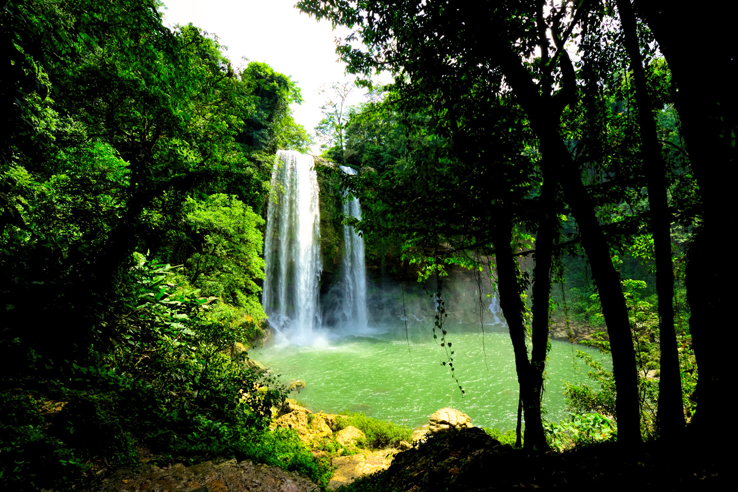
We already had a bit of first-hand experience with the road. We’d driven it from Palenque to the Misol-Ha waterfall, and from there we kept going south, most of the way to Ocosingo, where we ran into a Zapatista road block that completely shut down the highway. They wouldn’t let us through, so we were forced to turn around, all the way back to Palenque, and save the rest of the drive for another day. The first week of our Road Trip, we encountered no less than four of those road blocks, known as bloqueos, all of them affecting that same road, MX 199. (See my earlier post: Mexican Road Trip: Zapatista Road Blocks in Chiapas). At that time, back in 2015, they were strictly a form of political protest. By disrupting commerce, the Zapatista political movement hoped to focus government attention on their grievances, some social in nature, others economic, and the rest environmental, things like putting a stop to illegal mining and logging, banning the cultivation and consumption of drugs, and prohibiting any intrusion by the national government into local affairs. The movement had a relatively sophisticated platform that did a great job of stopping traffic, but it didn’t seem to be helping all that much, when it came to improving the lives of the ordinary people in the region.
In the years that have passed since my own visit to Chiapas, the bloqueos have persisted, but according to reports from recent travelers, their function has changed. Rather than stopping traffic to attract attention, today’s road blocks are more like toll booths, collecting a fee ranging from 50 to 100 Pesos from each vehicle using the highway. This has become a significant source of revenue for these rural communities, and the authorities, reluctant to start another Zapatista uprising, simply look the other way, tacitly allowing it to continue. There are so many of these unofficial toll booths that drivers are understandably frustrated, and things have gotten ugly. In one widely reported incident back in 2022, a Russian tourist was dragged from her vehicle and attacked by an angry, stick-wielding mob when she refused to pay the “cuota,” (the toll). Since then, and even before then, most of the tourists travelling between Palenque and San Cristobal de Las Casas choose to take a lengthy detour through Villahermosa and Tuxtla Guttierez. That route adds almost 150 miles and and several extra hours to the journey, but it has the advantage of avoiding all those roadblocks. Personally, I’m not opposed to the notion of an informal “tax” on travelers that benefits the local community. Groups of townspeople politely collecting tolls is hardly cause for alarm, but when the crowds hanging around the roadblocks turn into mobs and the mood gets angry? That’s another thing altogether, and in the case of MX 199, that really is a shame. On Day 20, when Mike and I made our drive to San Cristobal, there was none of that going on, and we were able to savor one of the coolest stretches of highway on our whole amazing Mexican Road Trip.
Read on, and I’ll tell you all about the day we spent
CROSSING THE CHIAPAS HIGHLANDS
on MX 199
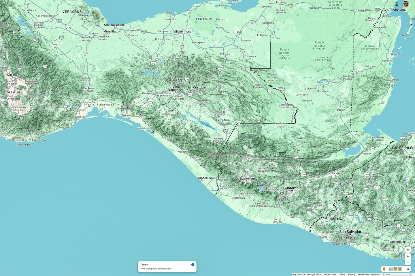
The Sierra Madre de Chiapas, and the Chiapas Highlands, showing MX 199, from Palenque to San Cristobal de las Casas
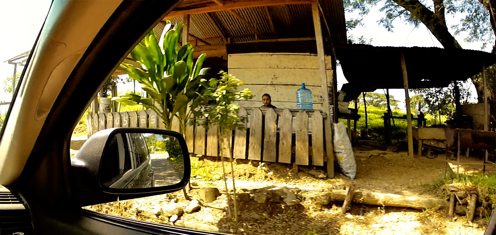
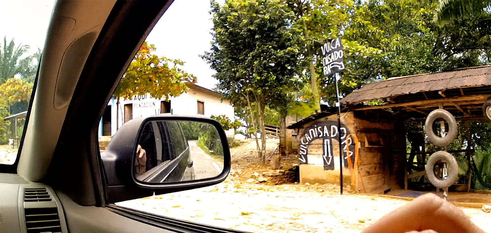
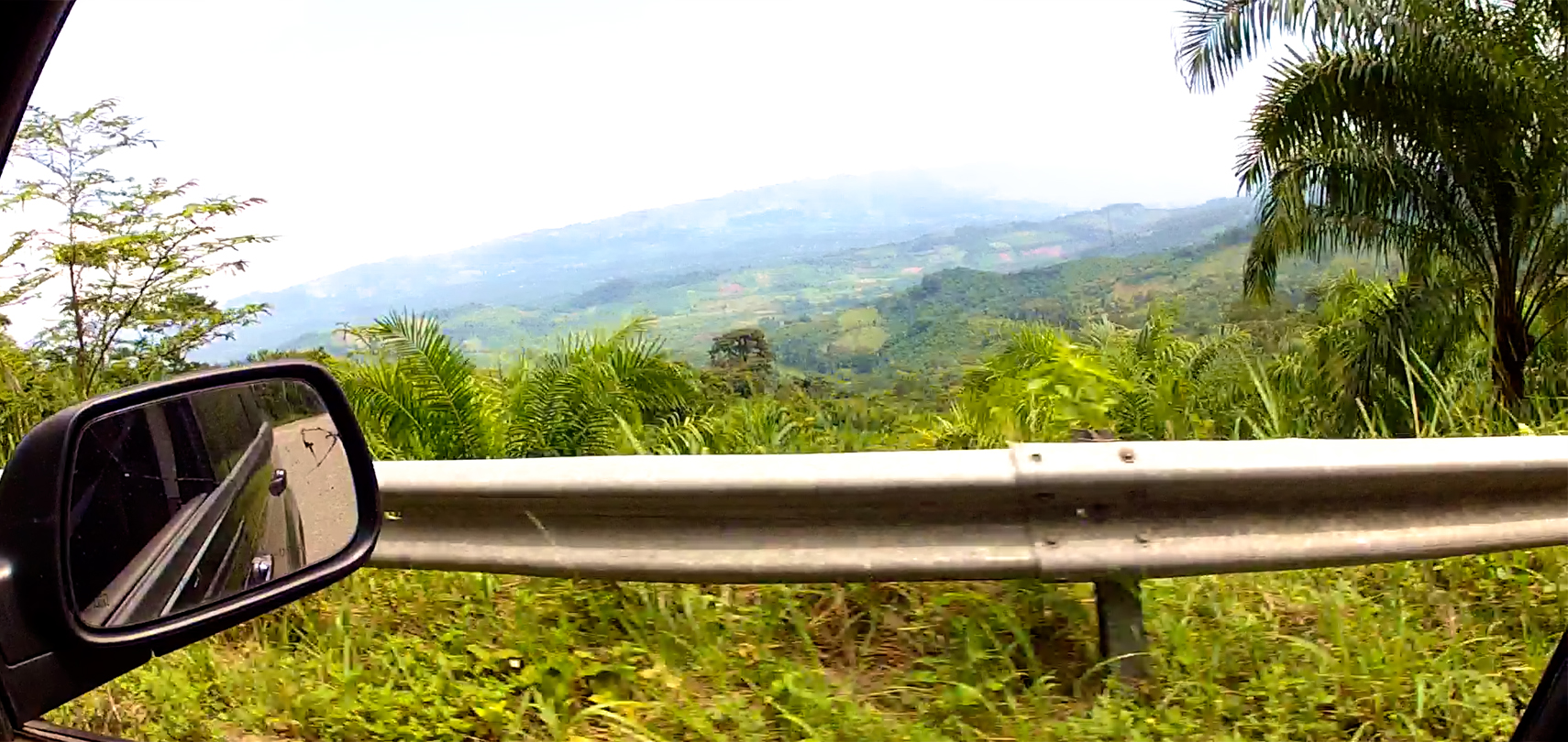
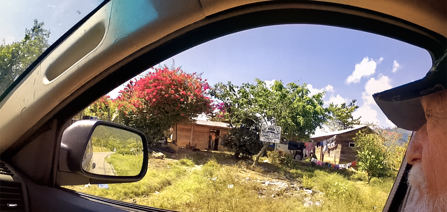
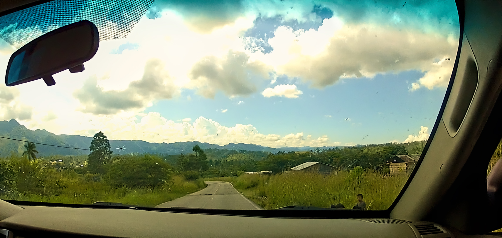
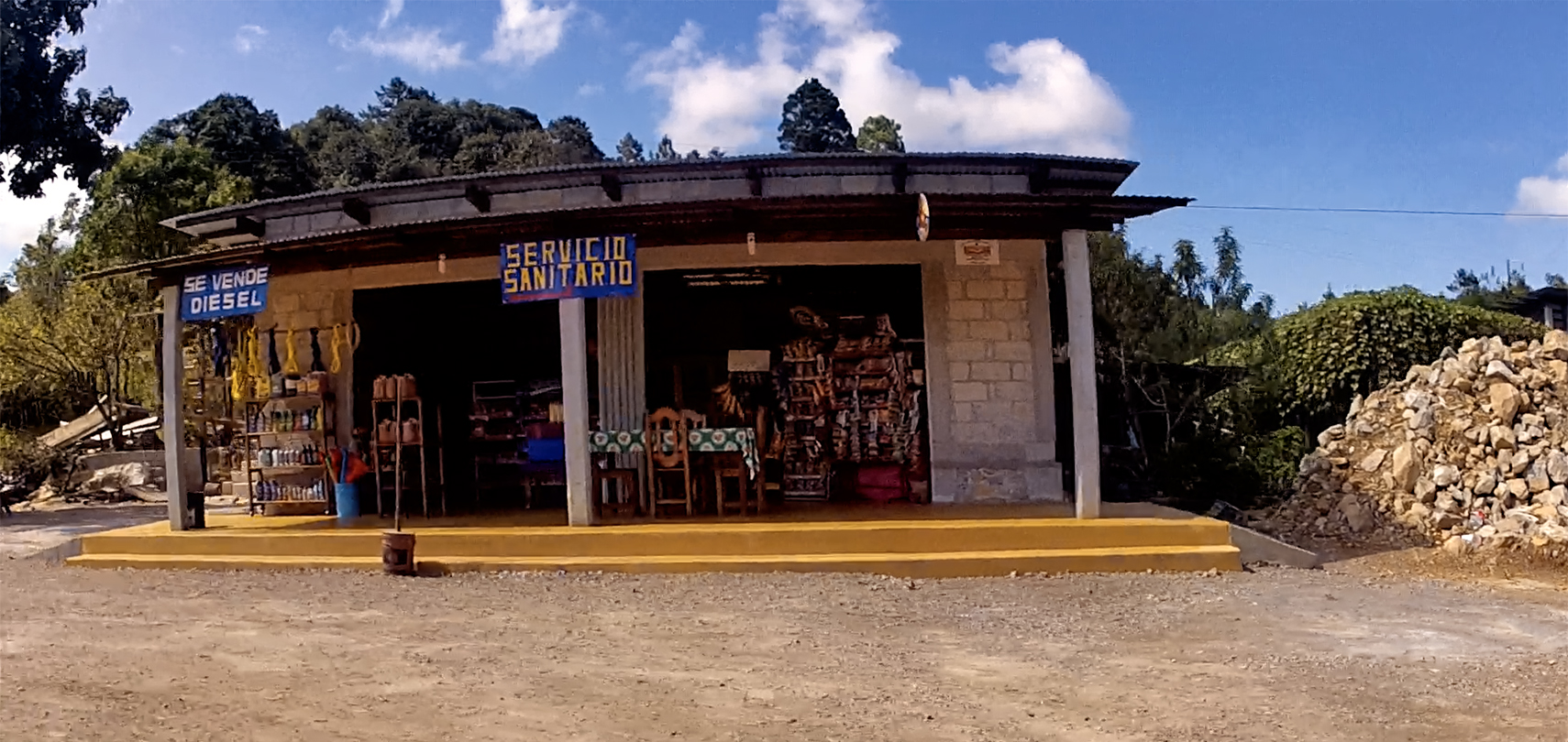
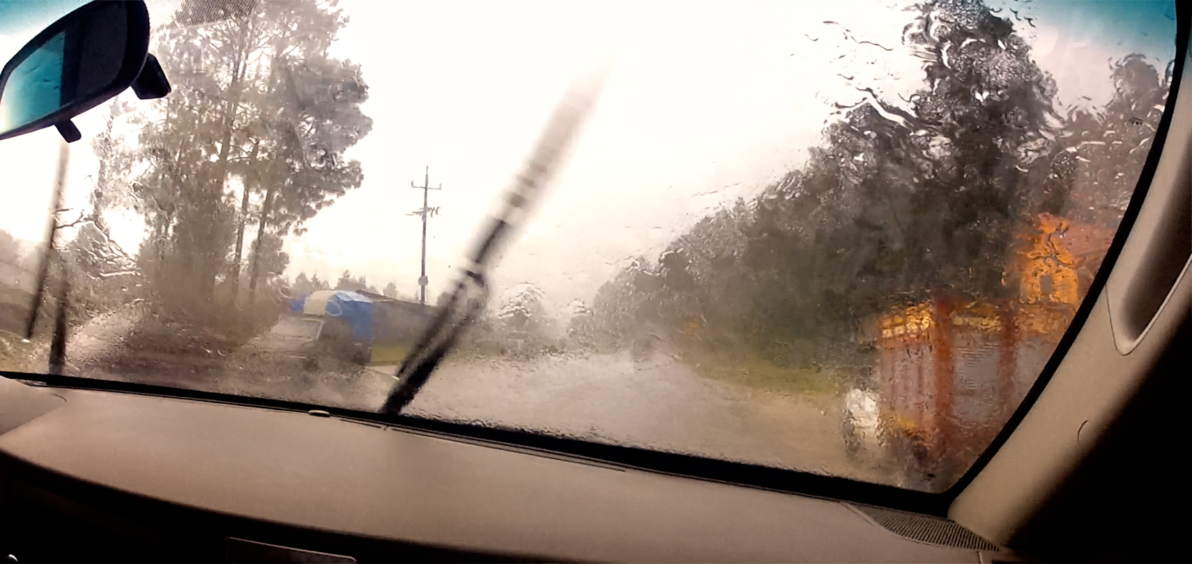
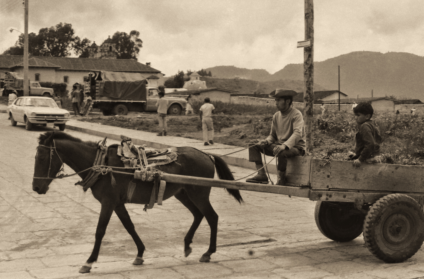
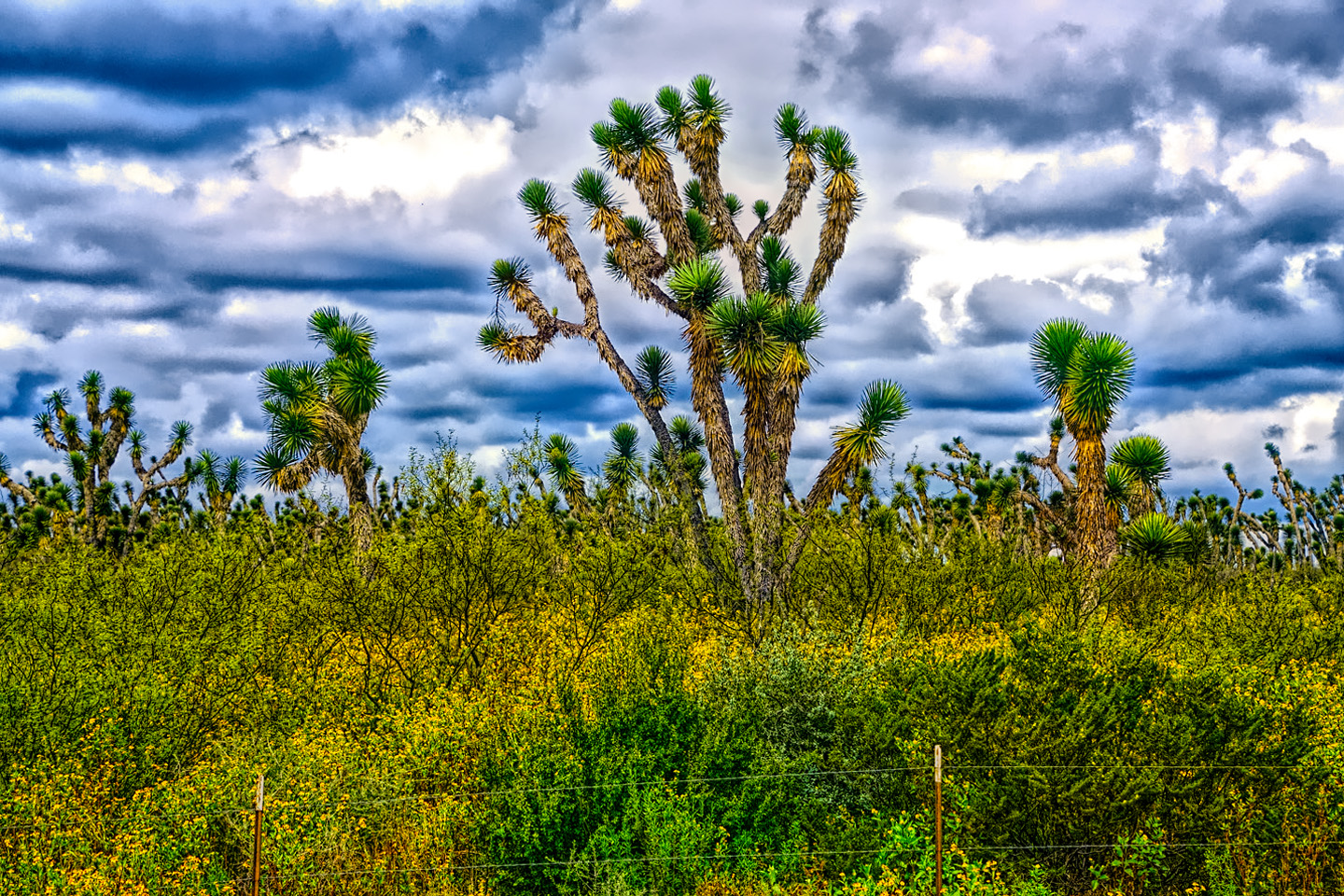
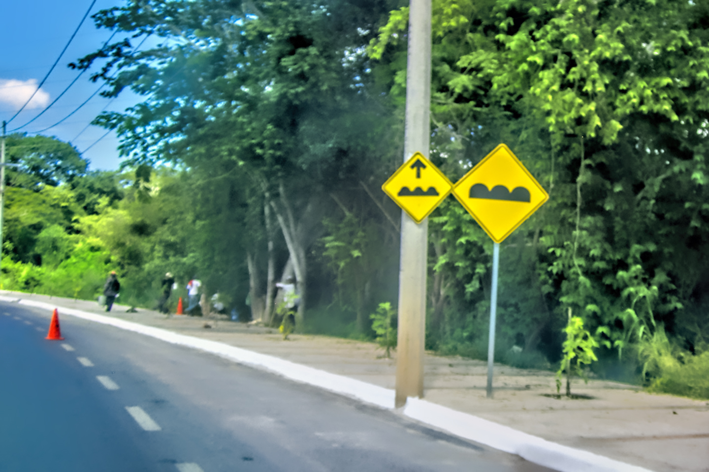
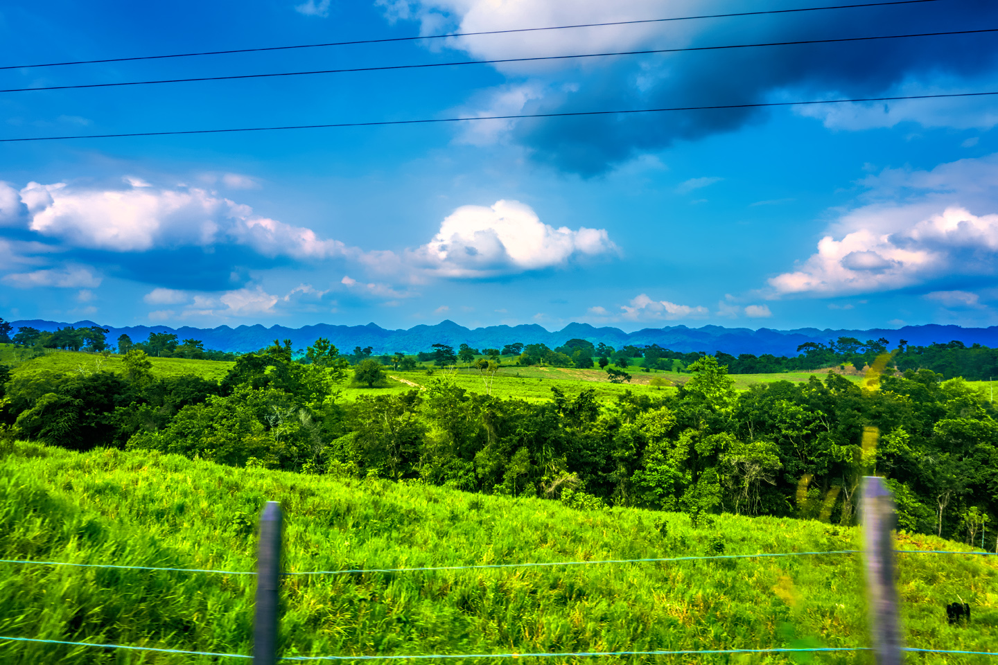
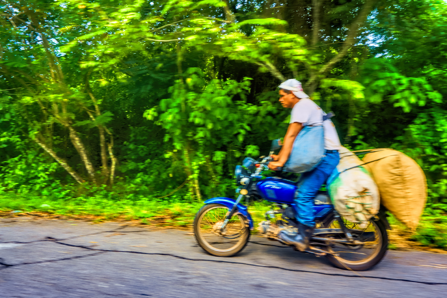
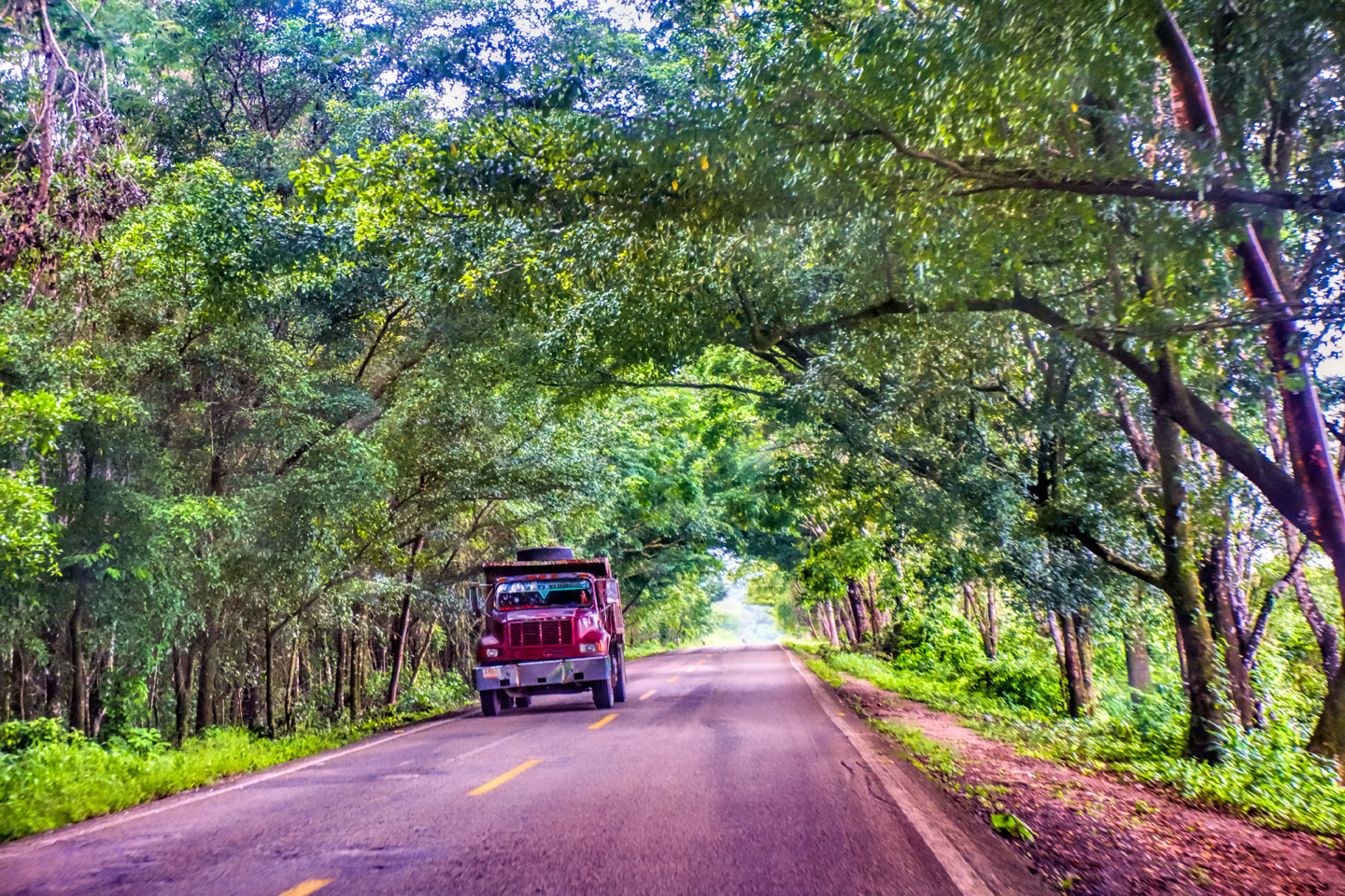
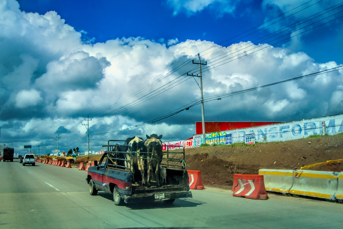
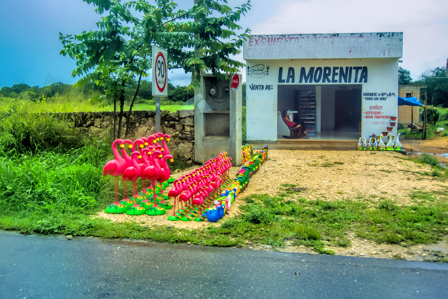
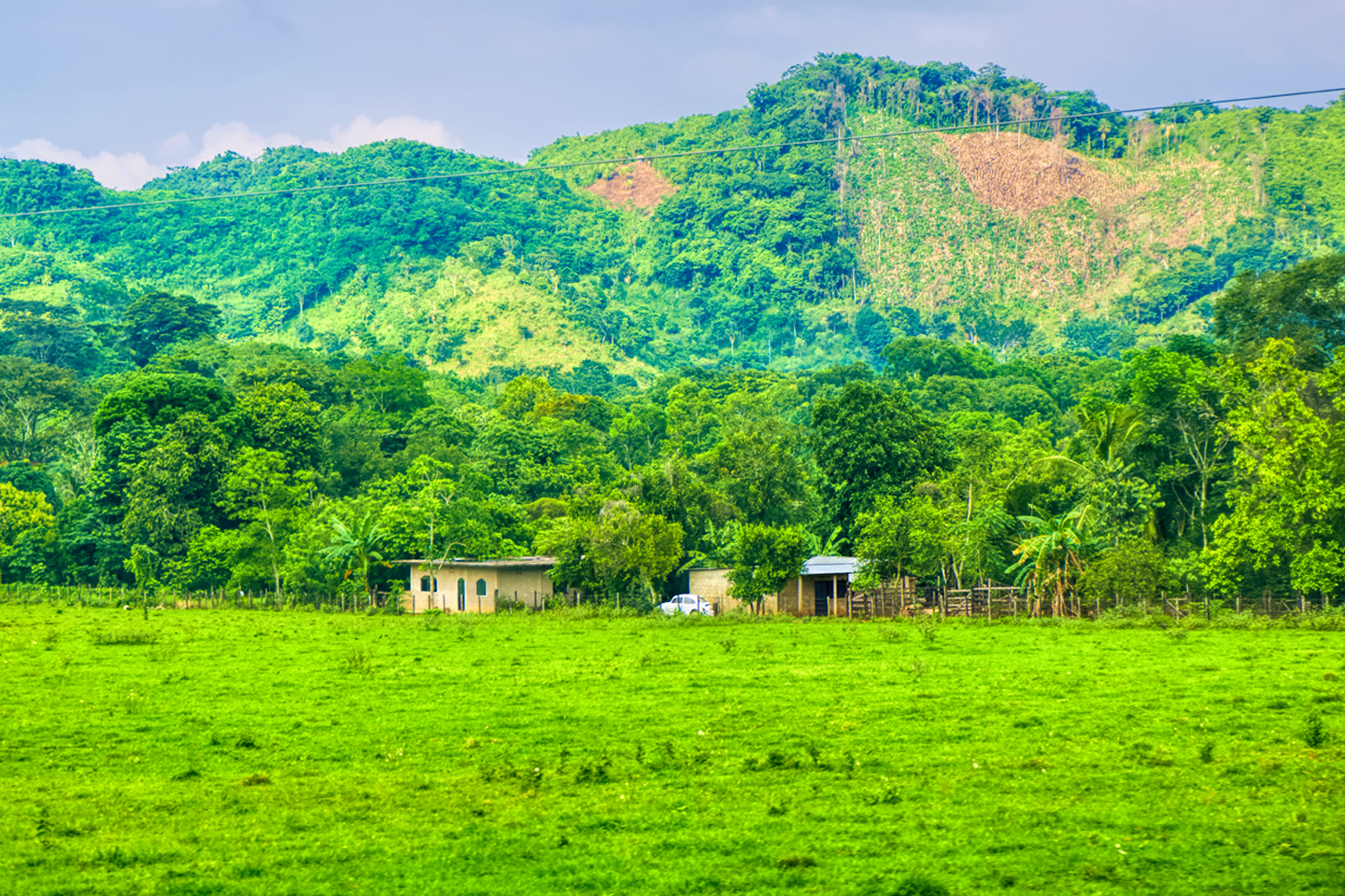
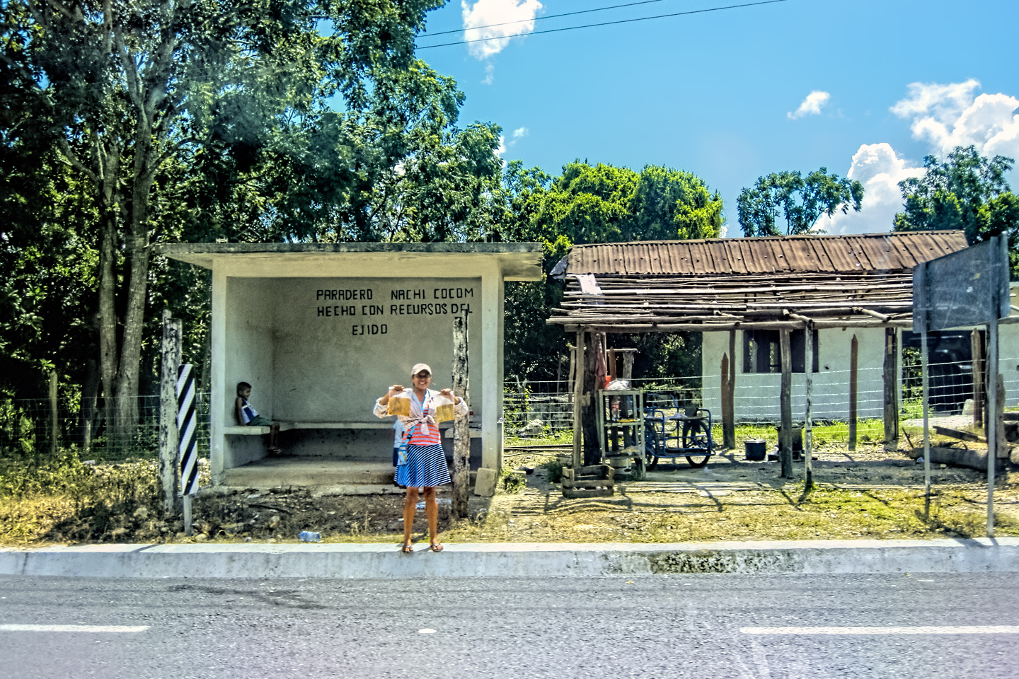
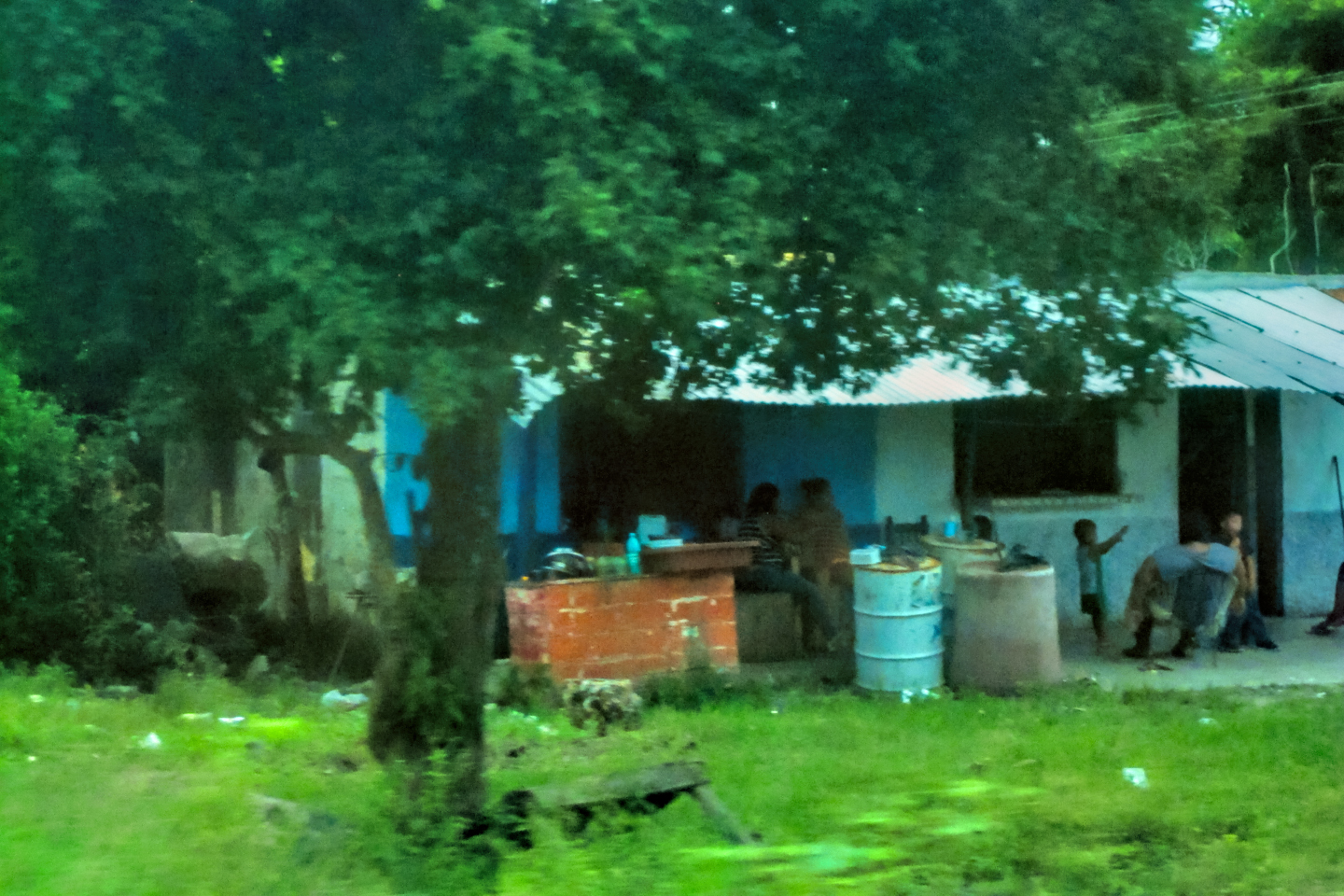
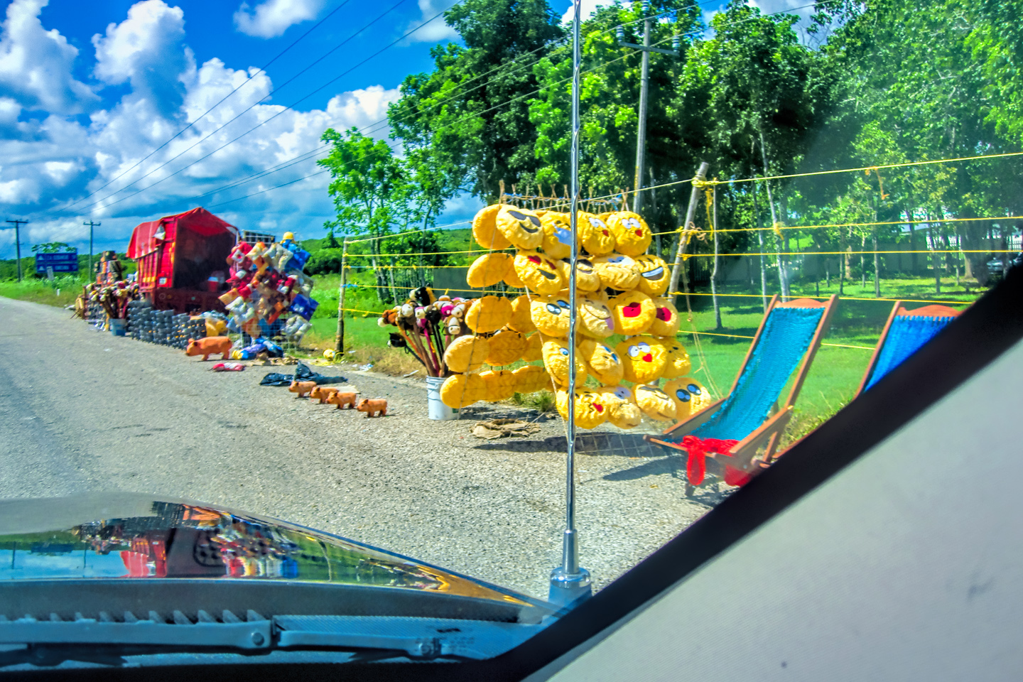
Like most rural highways in Mexico, MX 199 is the only paved road for miles around. Property with frontage along the right of way is considered prime real estate, if only due to ease of access, so even when there’s no actual town nearby, it’s not uncommon to see houses (and tire repair shops) on any flat section of easement wide enough to accommodate them. Driving south from Palenque, we saw many of these isolated homesteads spread out along the road.
CLICK PHOTOS AND MAPS TO EXPAND
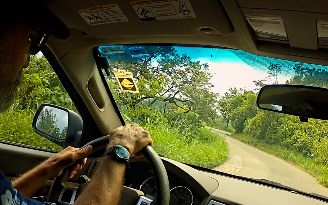
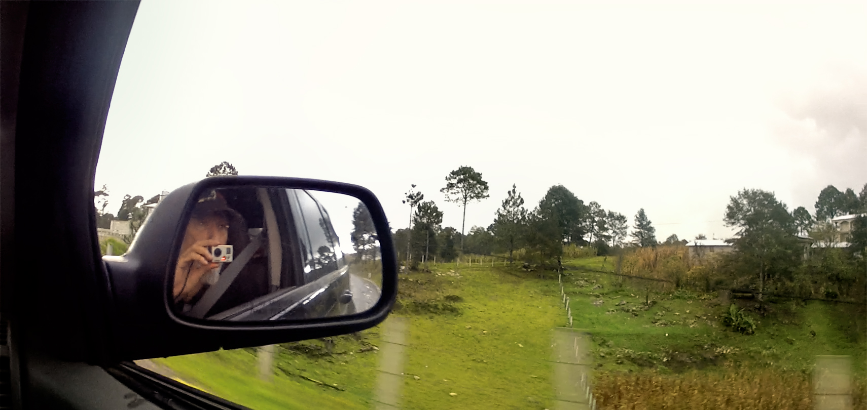
Note that most of the images in this post are screen grabs harvested from Michael Fritz’s GoPro videos, shot through the windows as we drove.
Isolated homes along the highway south of Palenque, near the Rio Tulia

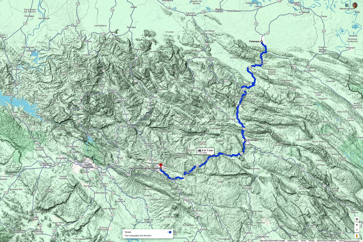
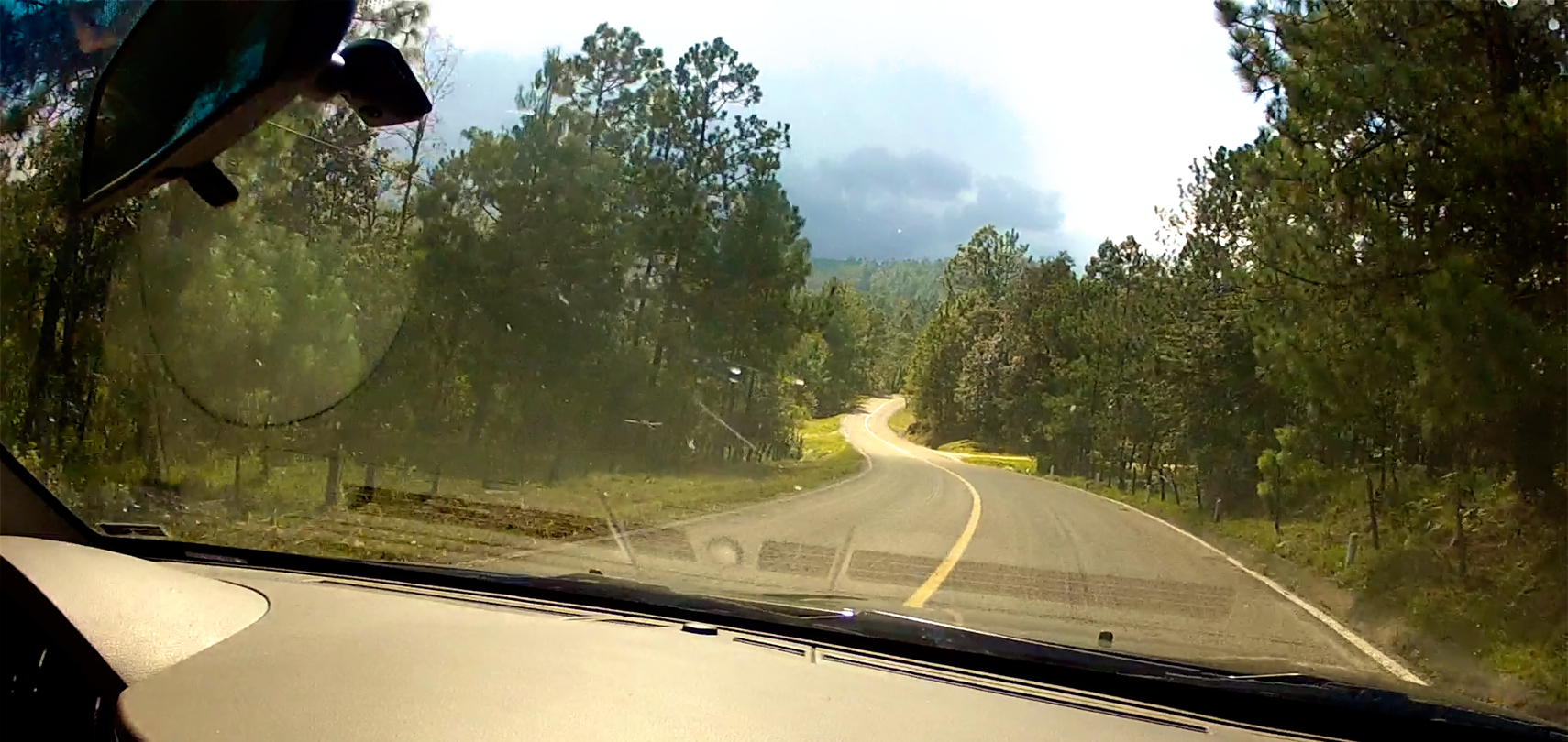
This first half of the route, between Palenque and Ocosingo, was already familiar to us, after our aborted attempt to make this same drive two weeks earlier. We’d actually driven it twice, there and back again, and I remembered the road very well, one switchback after another, following one overloaded truck after another as they struggled up (and down) the steep grades. A closeup view of the map reveals just how many narrow curves have to be negotiated along the way. It’s a bit like trailing a long strand of spaghetti that was caught in a tornado, and flash-frozen!
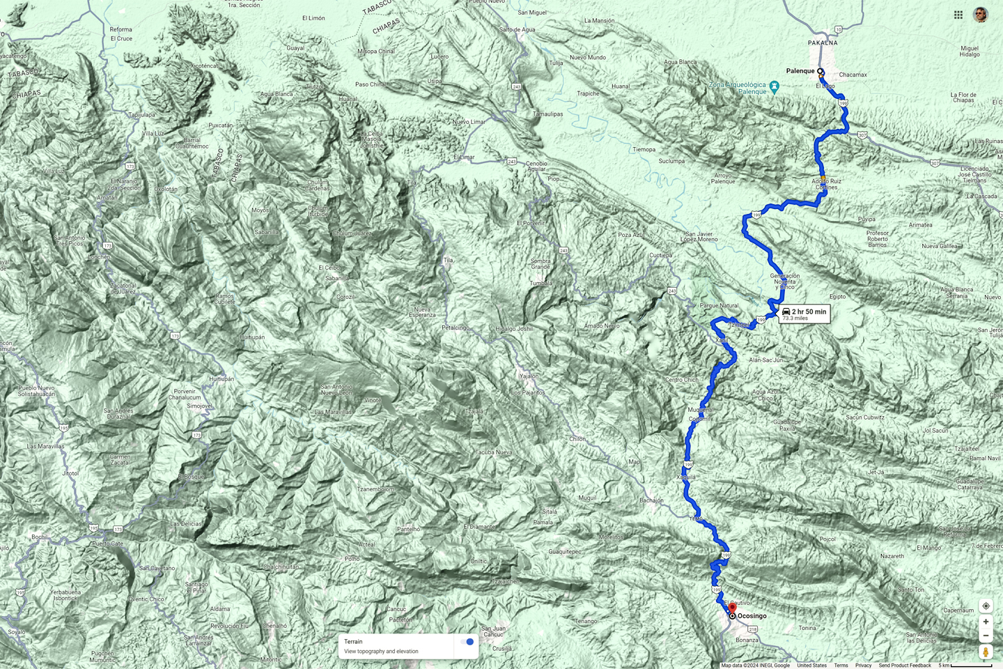
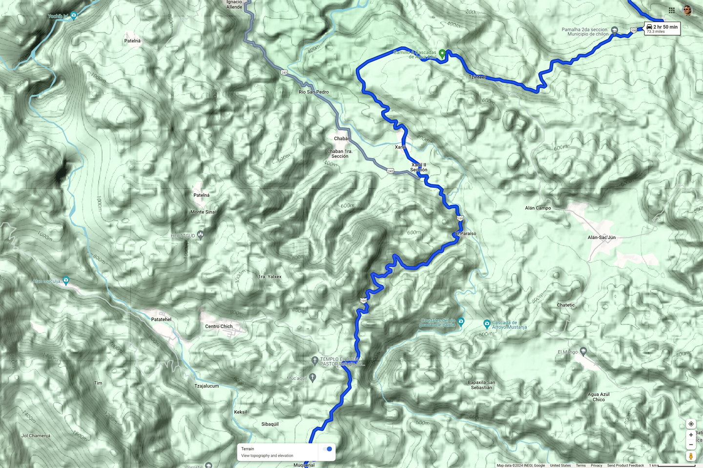
MX 199 from Palenque to Ocosingo, with a zoomed in view of the center section
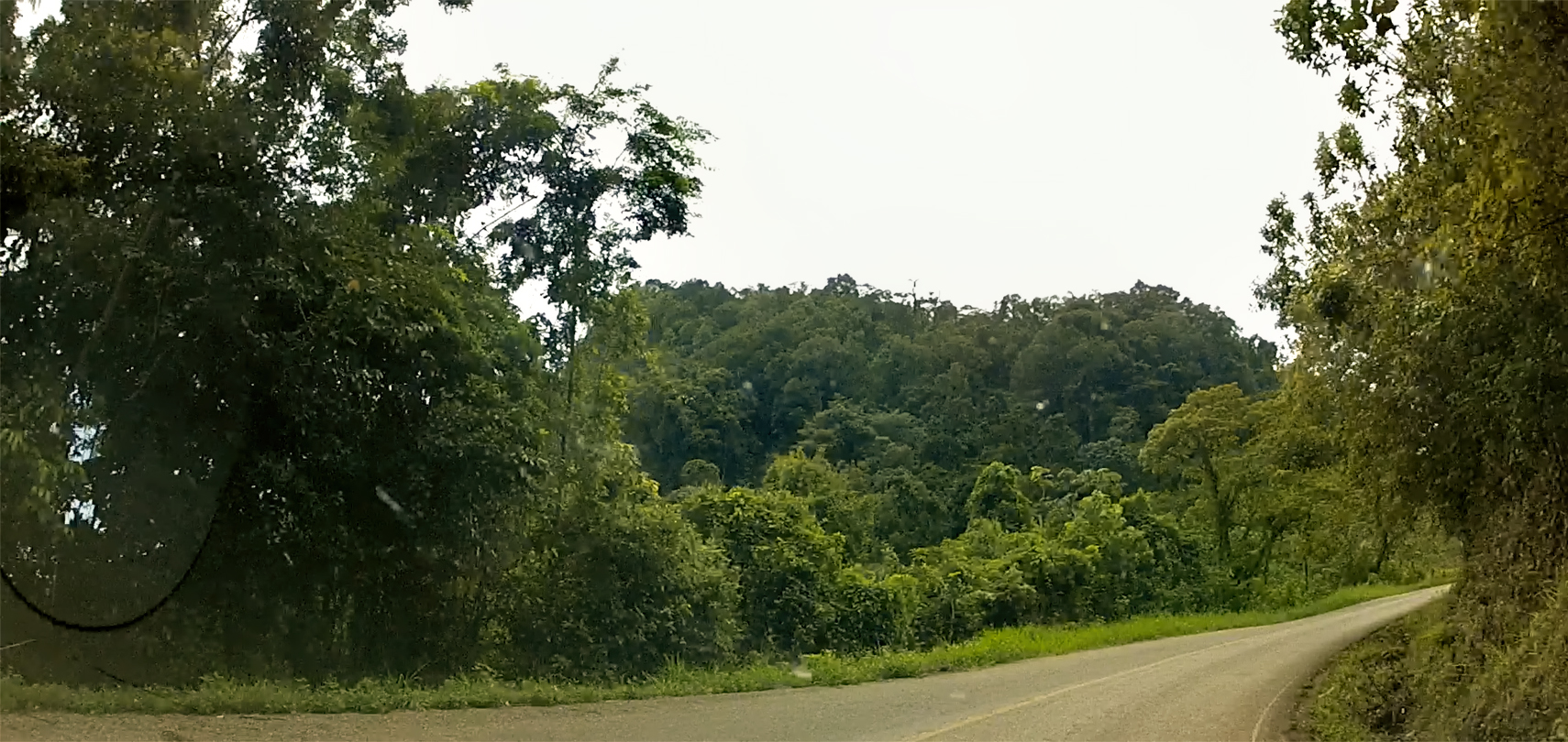
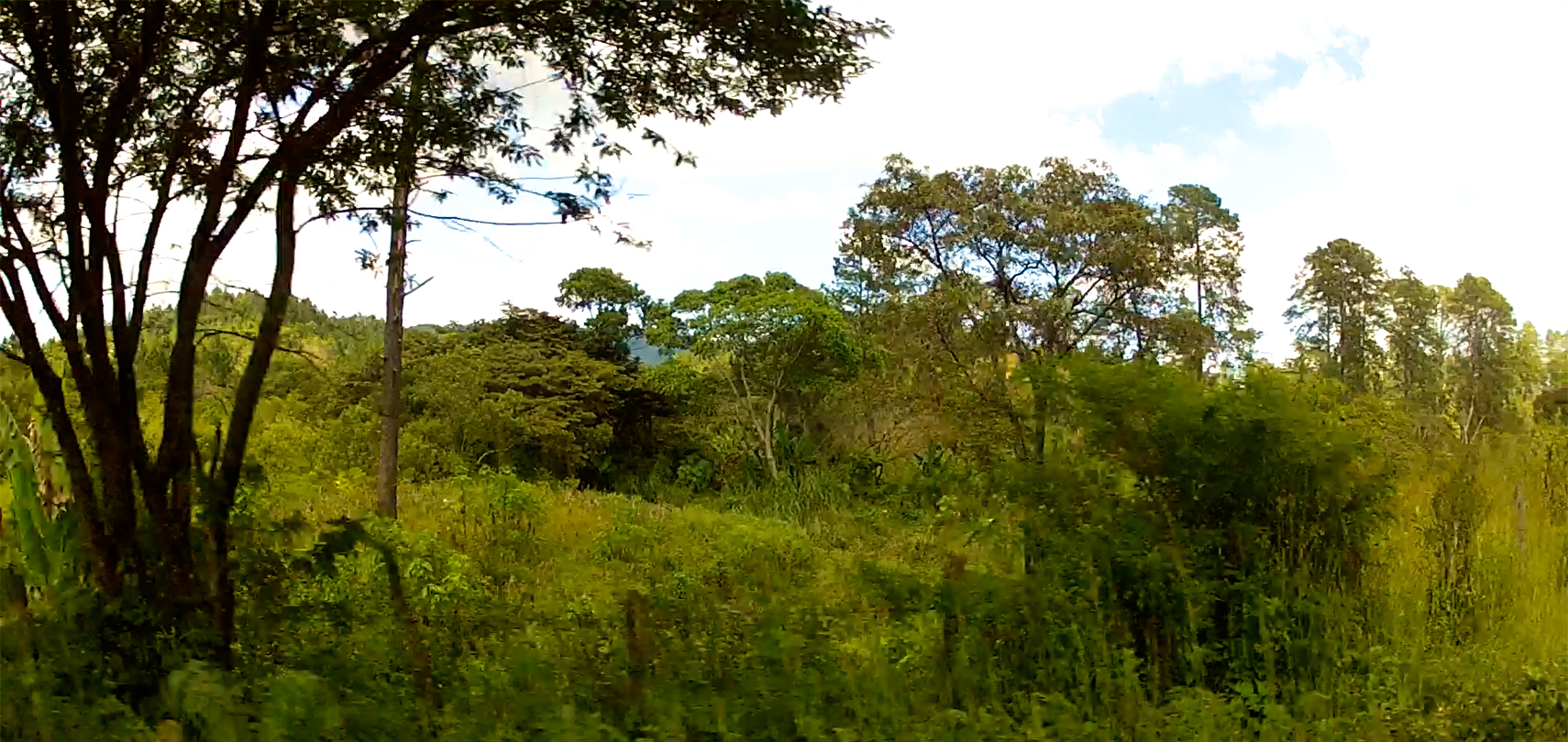
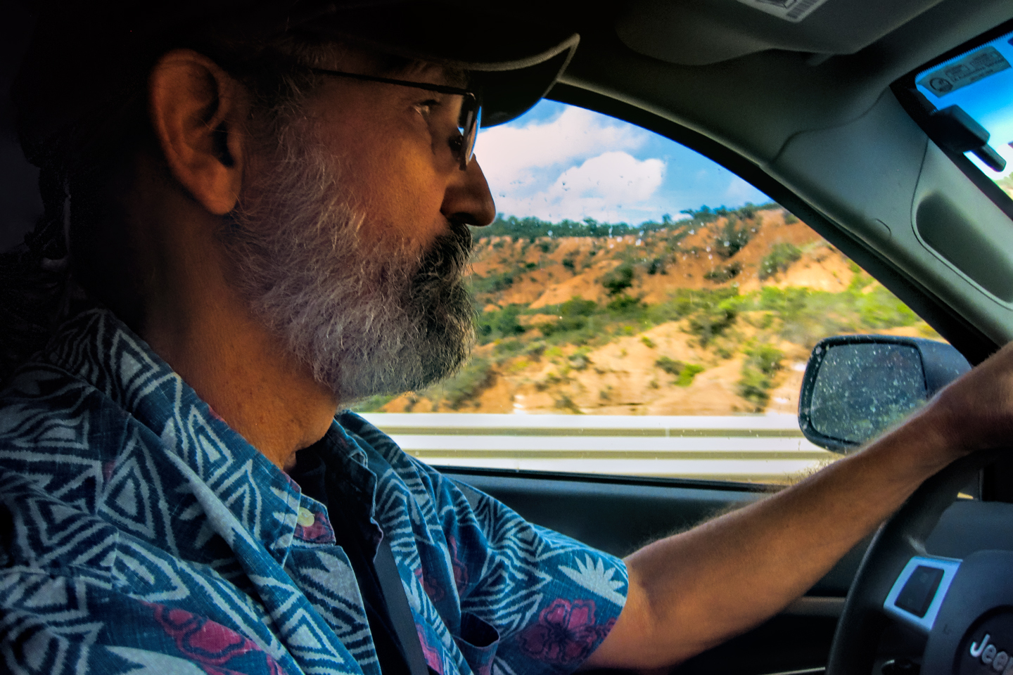
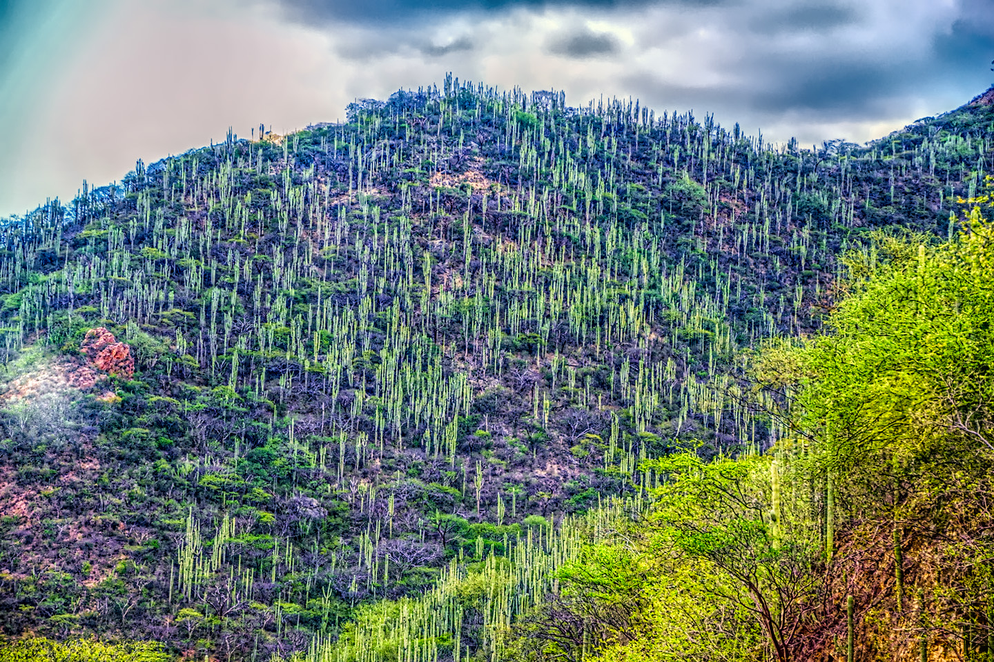
Driving mountain roads like MX 199 is my favorite kind of fun. After I finished college (half a century ago?!), I spent two years driving all over the northern Andes in a Dodge Powerwagon that I shipped to Colombia from the U.S., and those two years were some of the happiest times of my youth. The mountains of Chiapas were no match for the Colombian Andes, but with all the lush tropical vegetation, there were more than enough similarities to tickle my nostalgia bone. When the road was clear ahead of me, I sailed around those beautiful curves in a state of bliss.
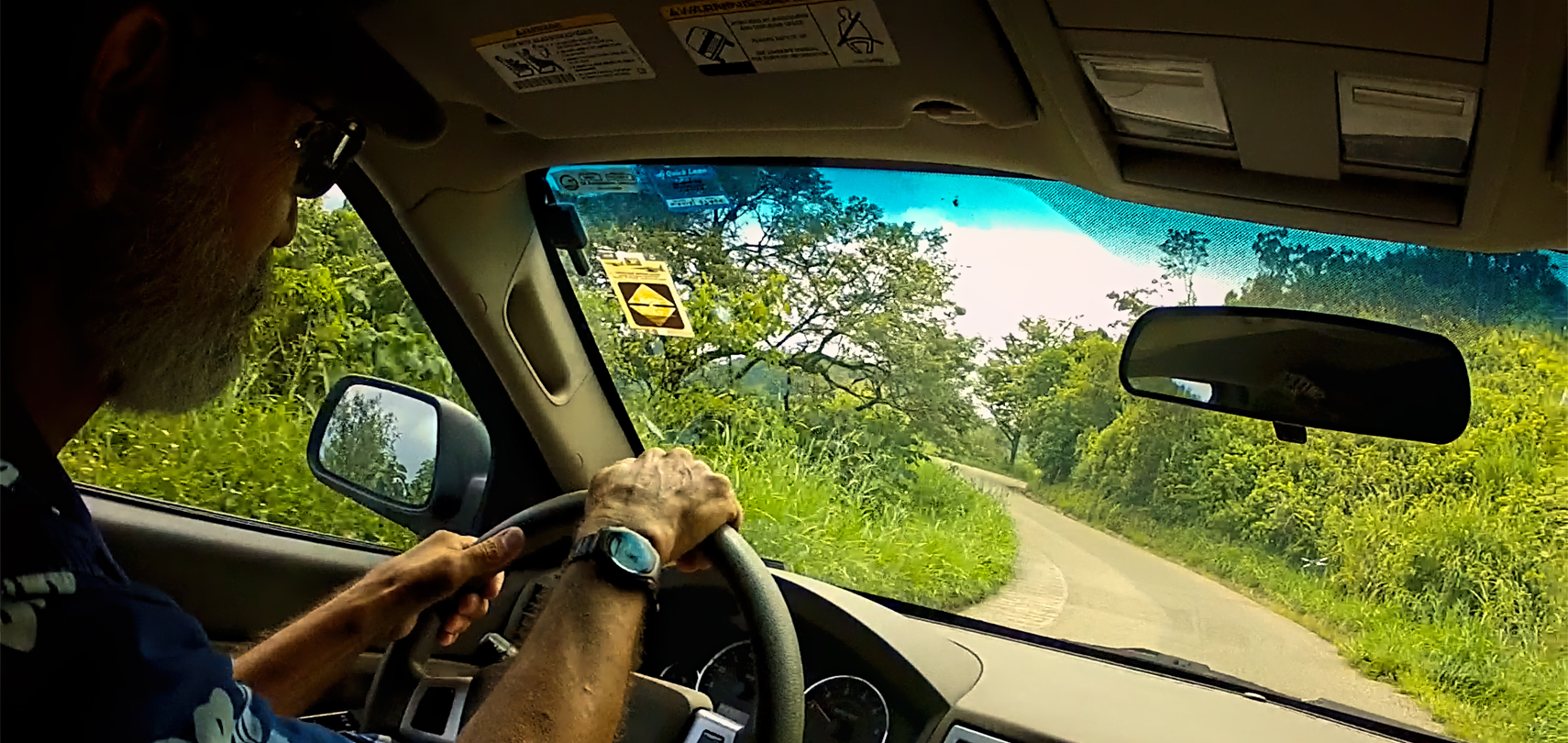
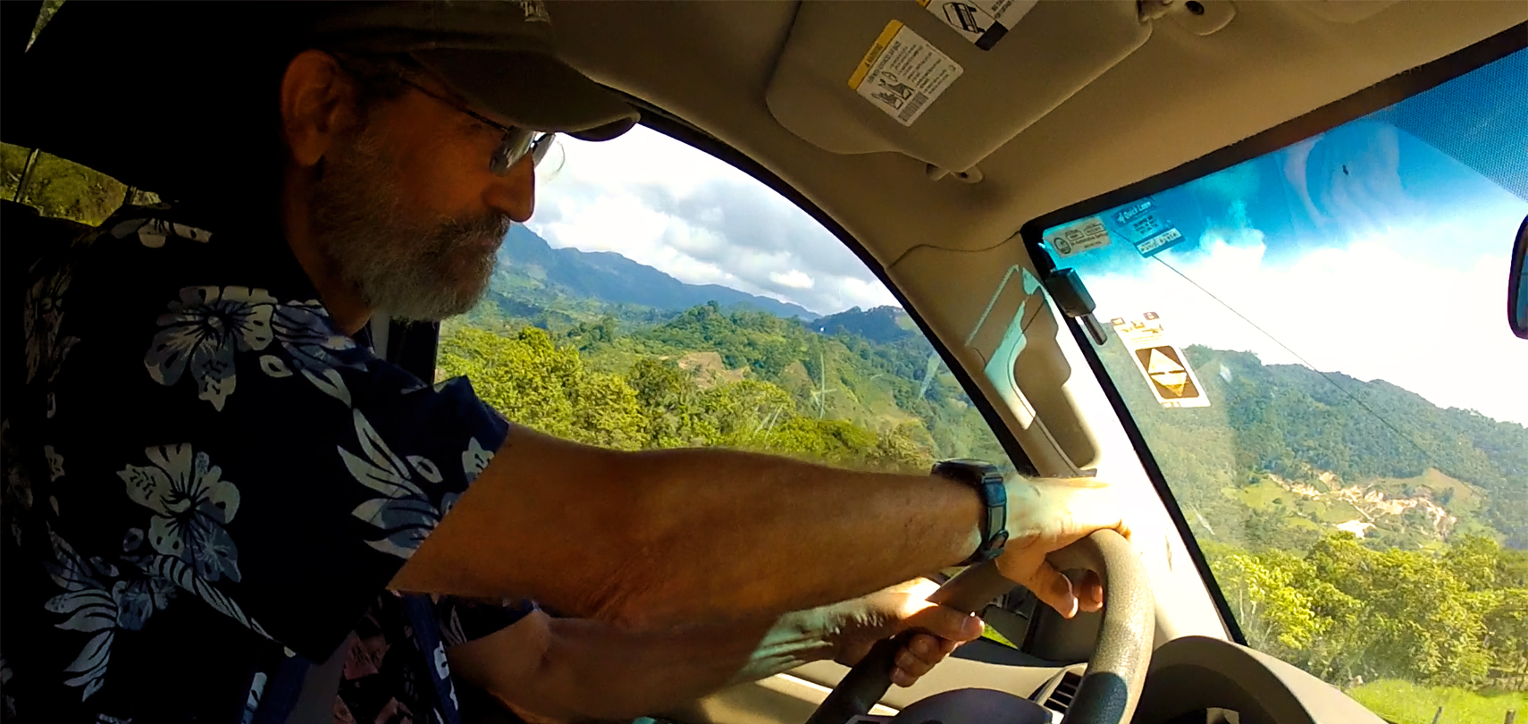
Scenes along the road, MX 199 between Palenque and Ocosingo: beautiful mountain curves, my favorite kind of fun!
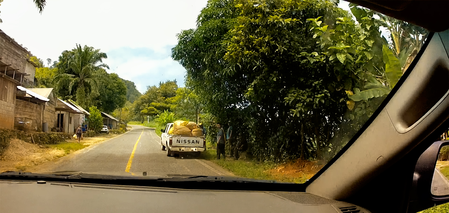
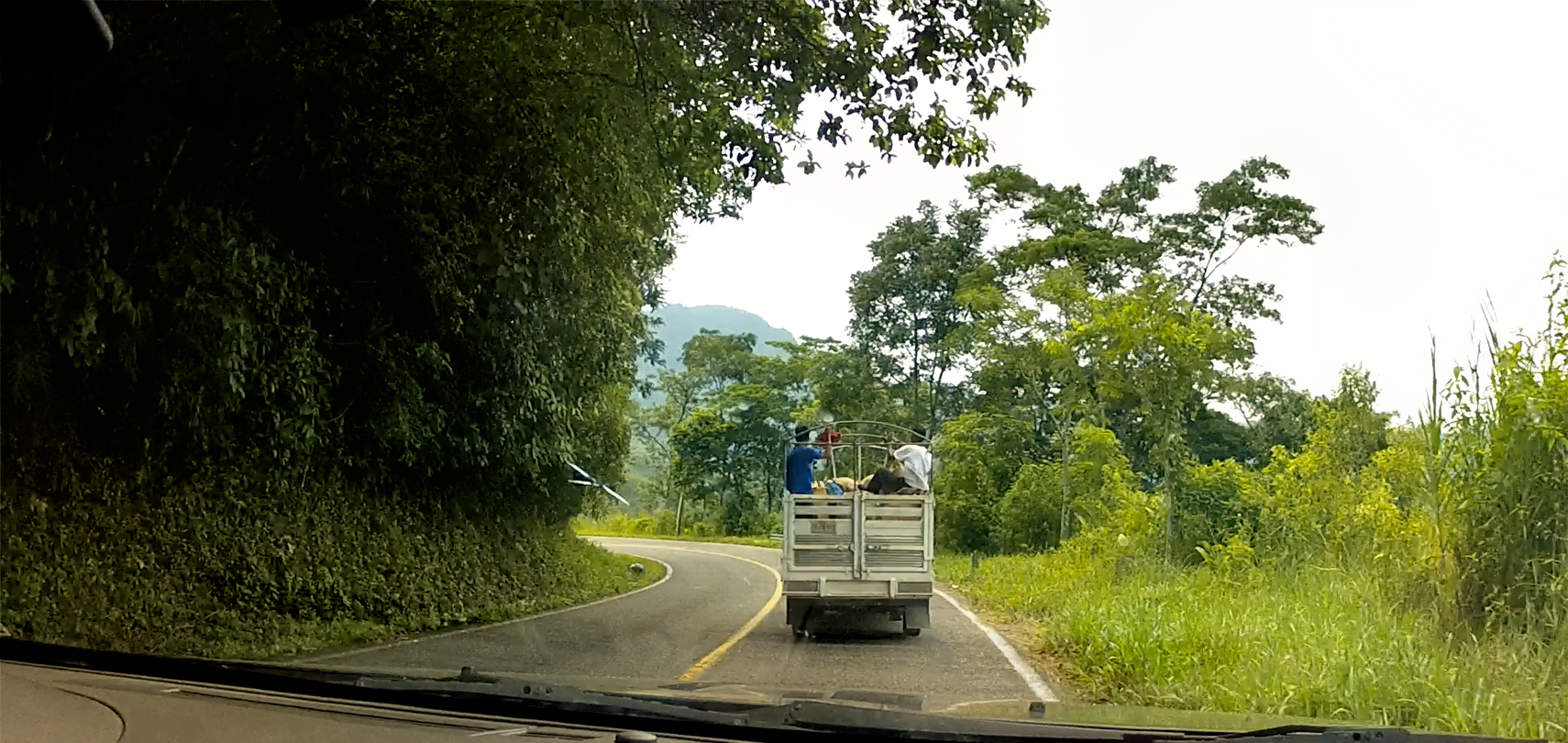
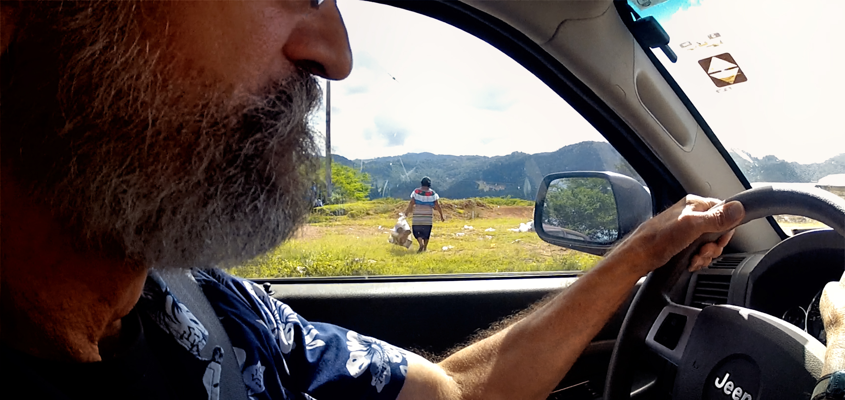
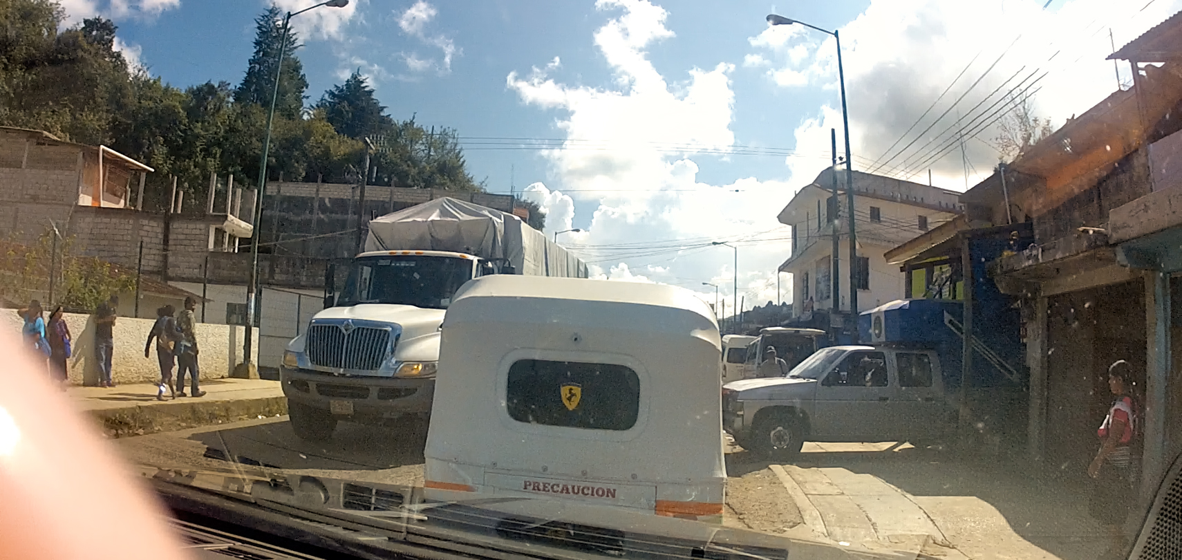
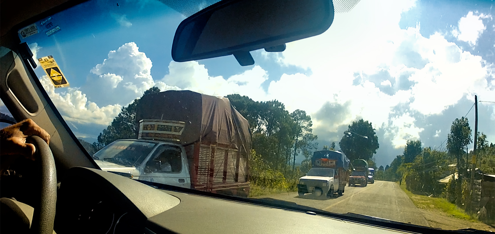
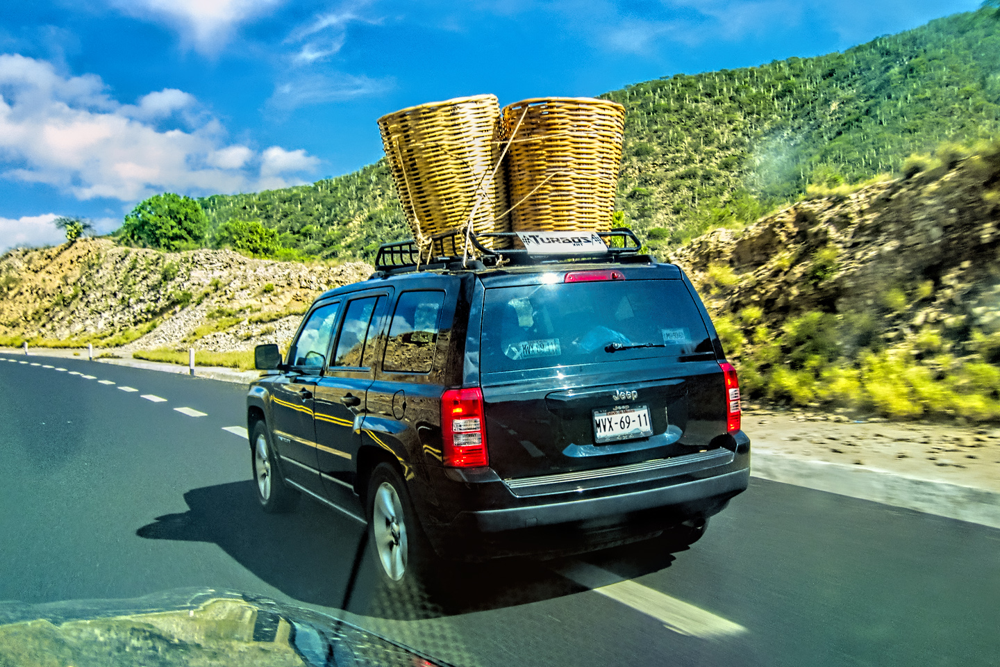
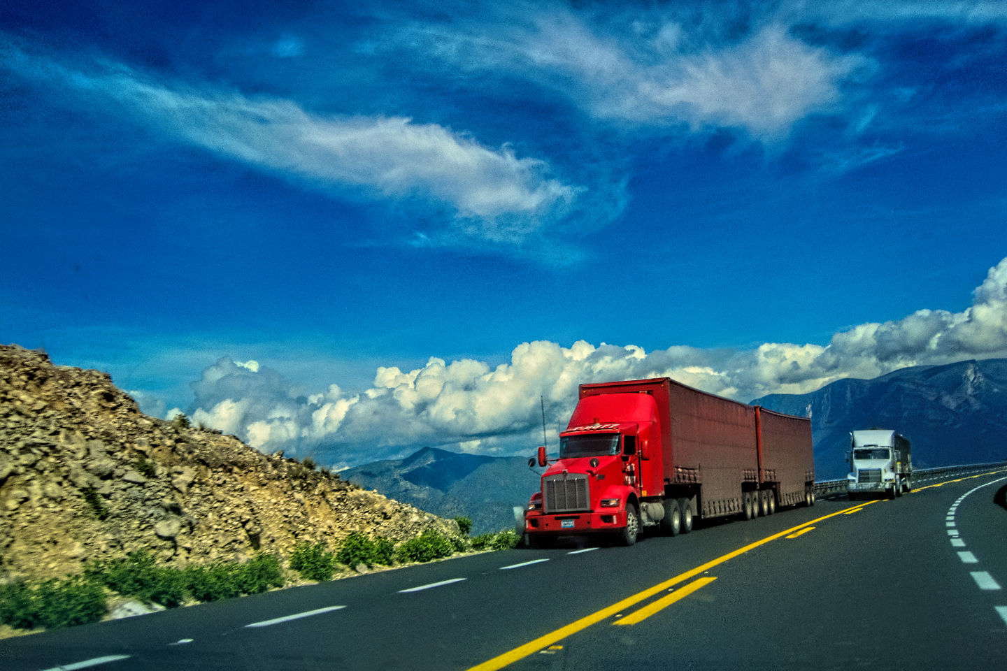
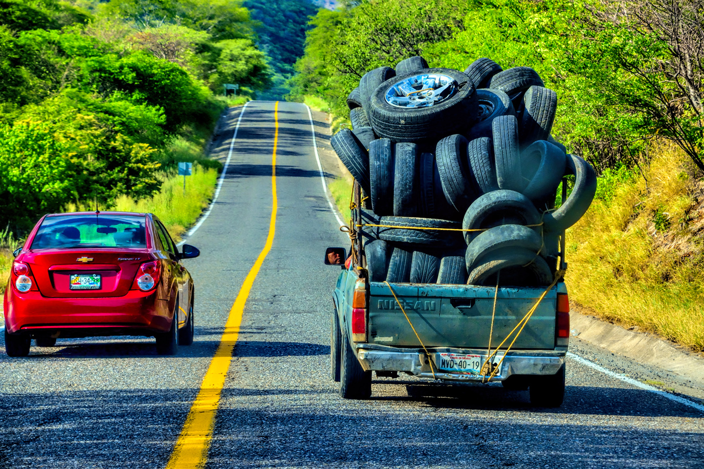
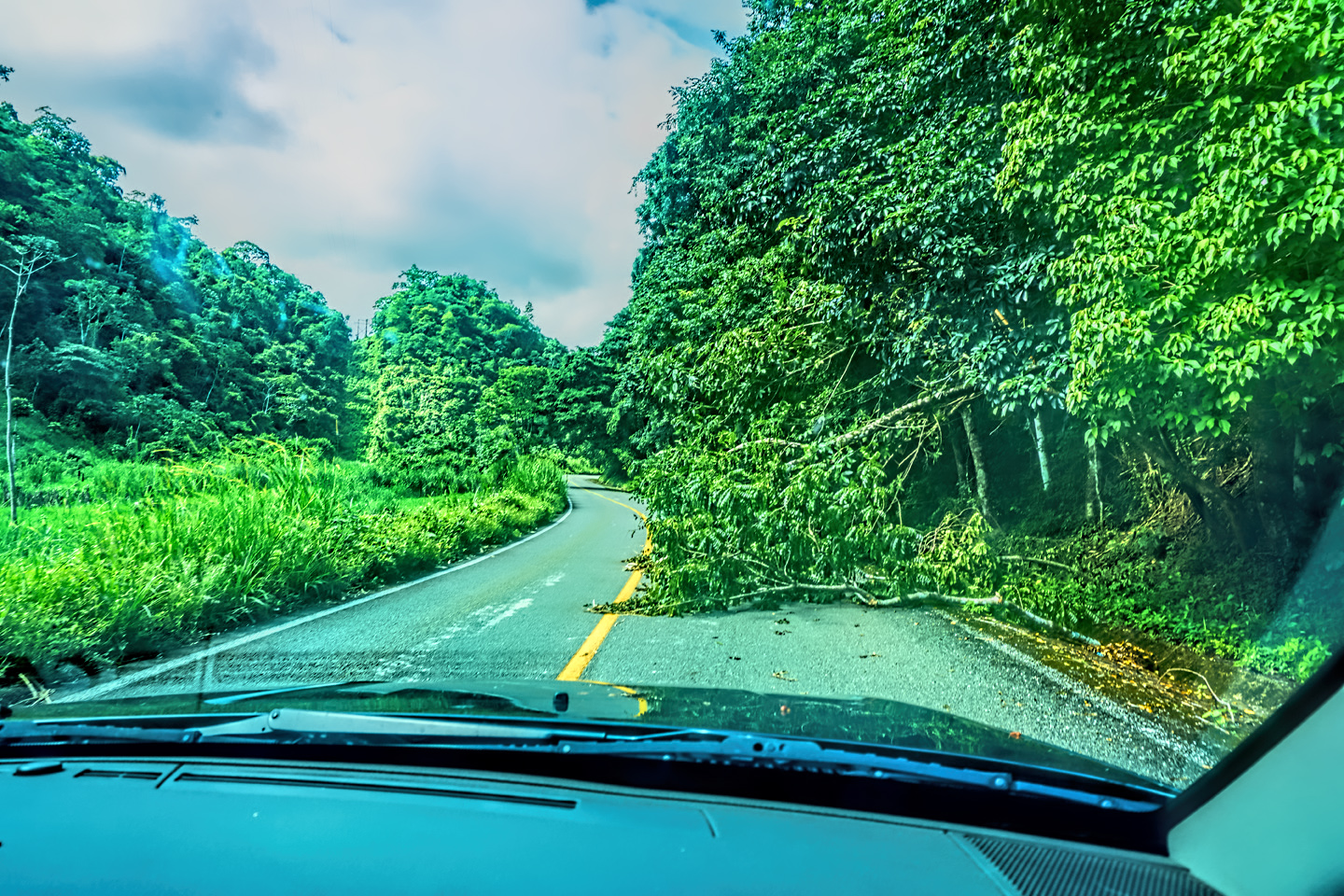
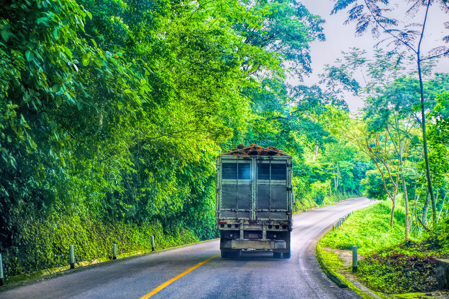
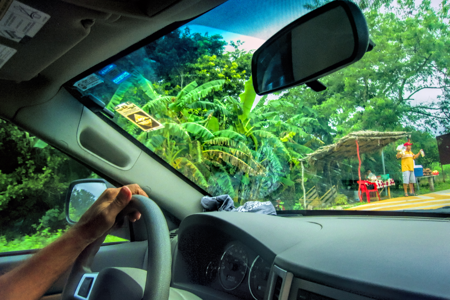
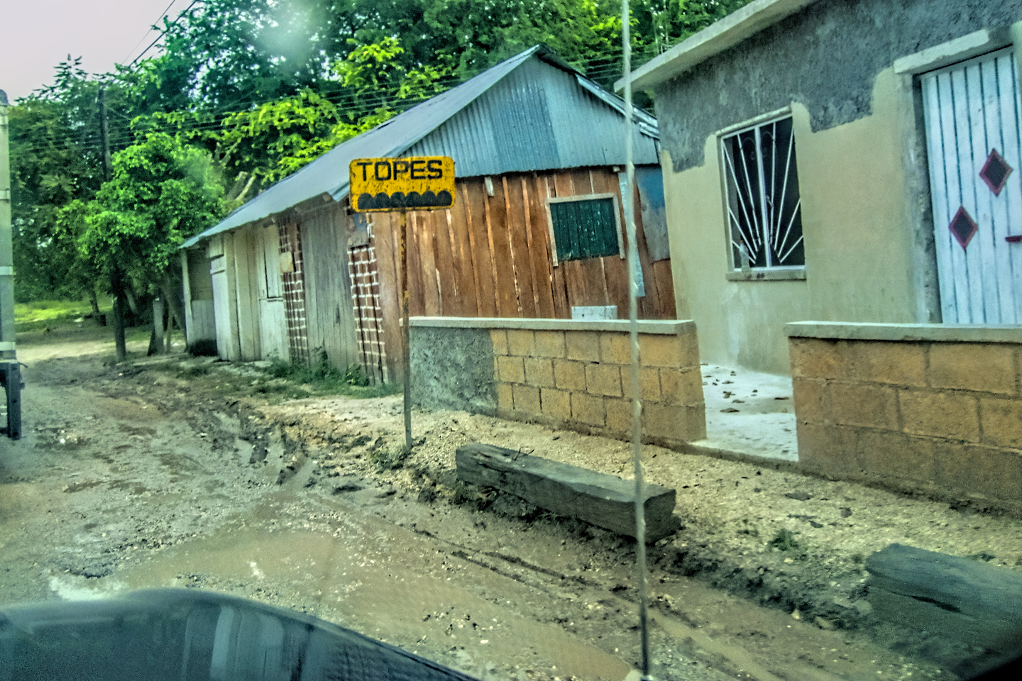
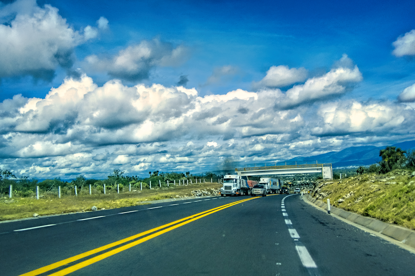
Pleasant memories and an enjoyable drive–that was actually a dangerous combination on this particular highway, because MX 199 requires your full and constant attention. You have to continuously scan the road ahead for pedestrians, topes, potholes, livestock, and other hazards of every description, all in the darndest places. Overloaded trucks took the hills so slowly, they may as well have been stopped in the middle of the road, so every blind curve required an extra measure of caution.
Slow trucks and random pedestrians are a constant concern.
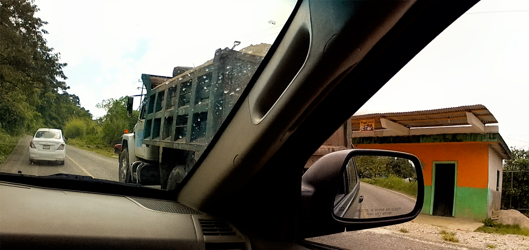
Passing those trucks became a minor obsession, but once I learned the rules of the road, that got a little easier. There’s no such thing as a passing lane, but if a truck in front of you moves over toward the right shoulder, and then puts on their left turn signal, they’re telling you that the road ahead is clear, and that it’s safe for you to pass.
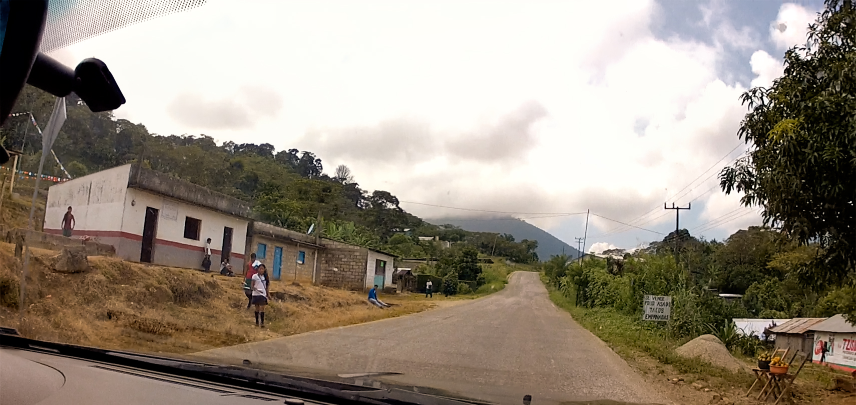
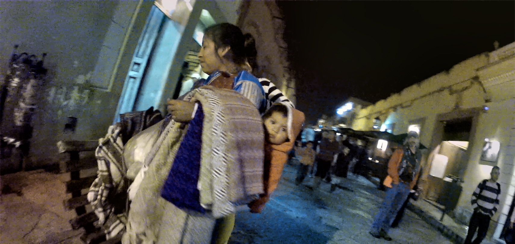
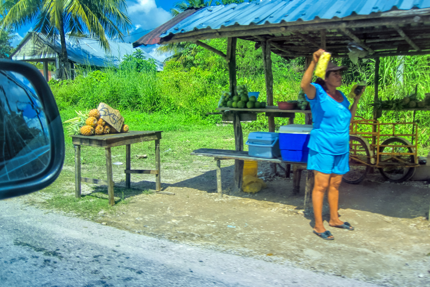
Some stretches were more populated than others, with houses side-by-side, and on both sides of the road. Still not quite a town, but definitely a unique community with its own sense of identity. In most parts of Mexico, we saw welcoming smiles from the people we passed in rural areas. In the Chiapas Highlands, we saw resentment. They were, for the most part, too polite to say it, but what they were all thinking was “Yanqui go home!”
CLICK PHOTOS TO EXPAND

Scenes along the road in Chiapas; clusters of homes, not quite a town
The famous Pan American Highway passes through San Cristobal de Las Casas on the way to Guatemala, but there aren’t all that many travelers attempting that route these days. There’s an ongoing problem with criminal gangs in some parts of Central America, so people who might otherwise have done that trip are mostly staying away.
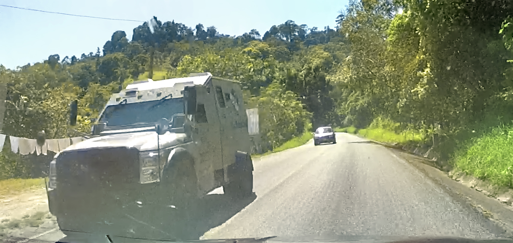
The vehicle in this photo is an exception. They’re engaged in a “Pan American Expedition” (according to a sign stenciled on the side of their rig), and they’ve found a unique solution to the worrisome crime problem: their camper is a converted armored car, complete with gun ports!
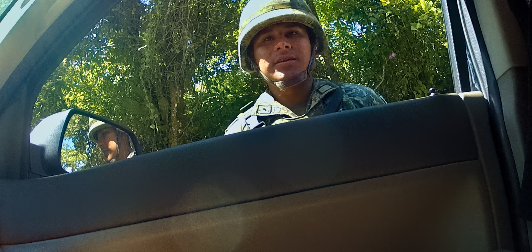
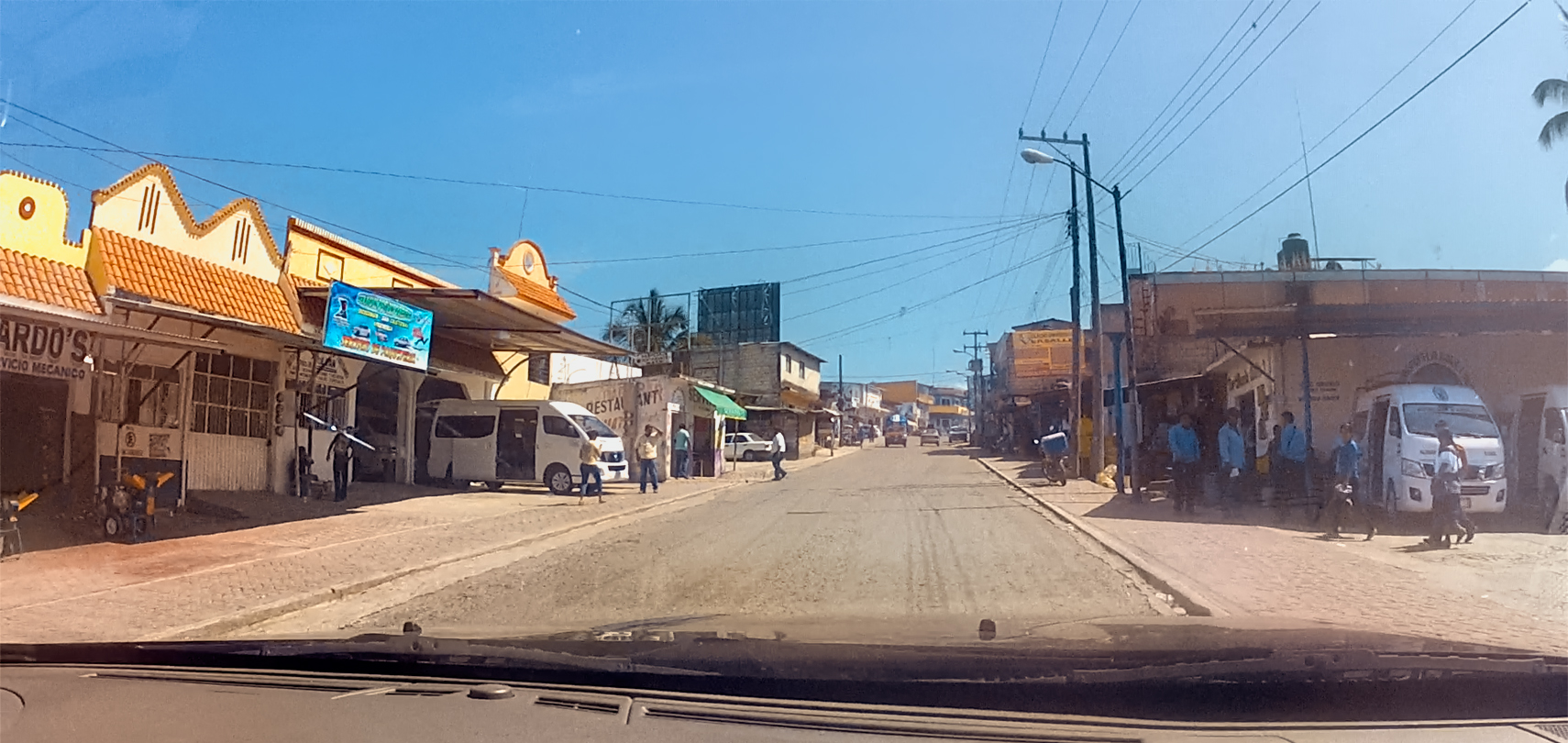
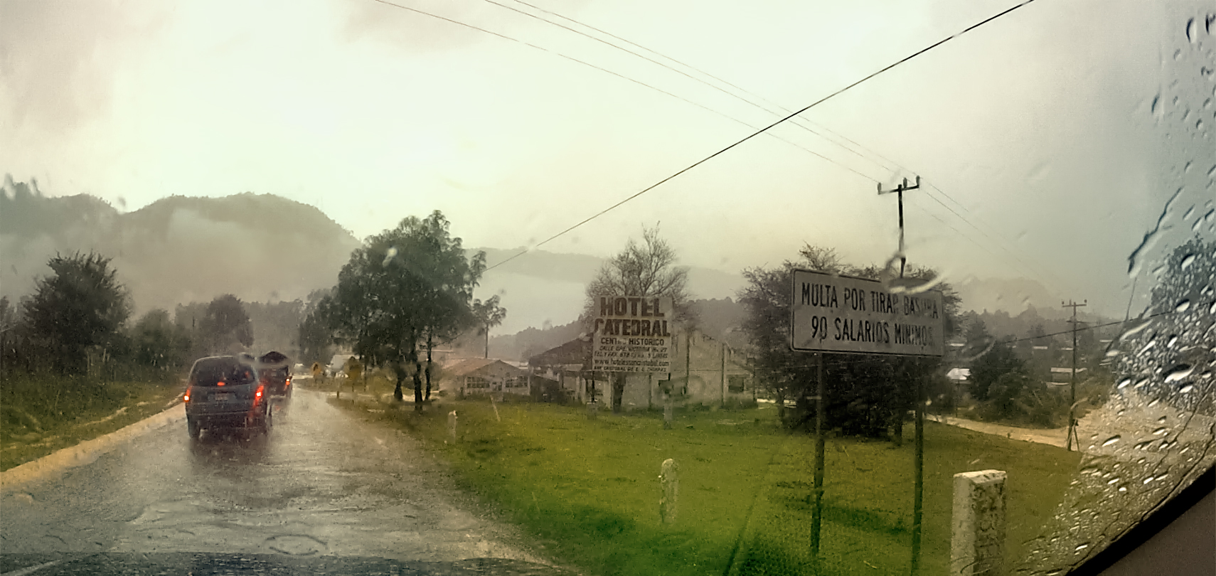
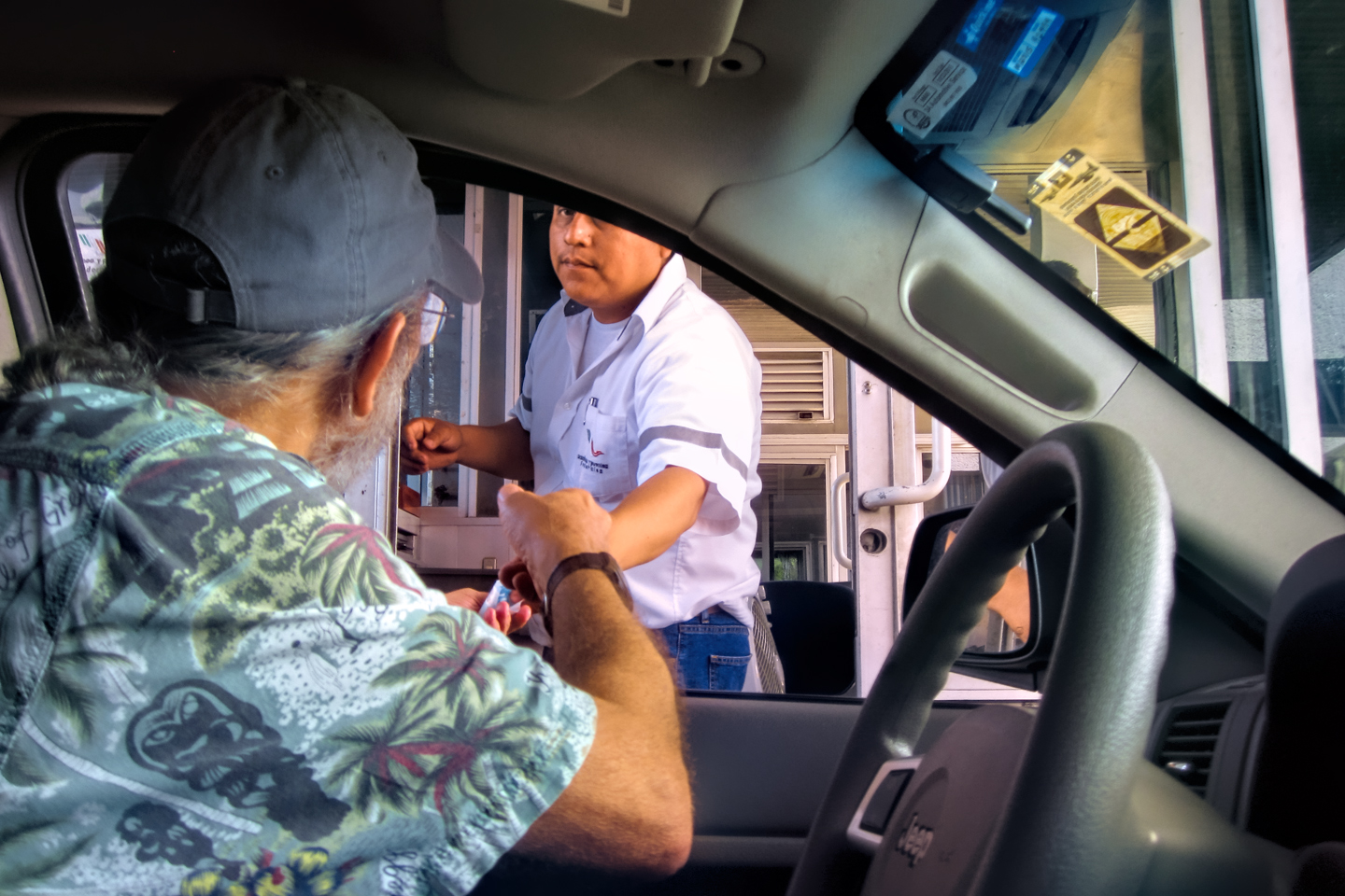
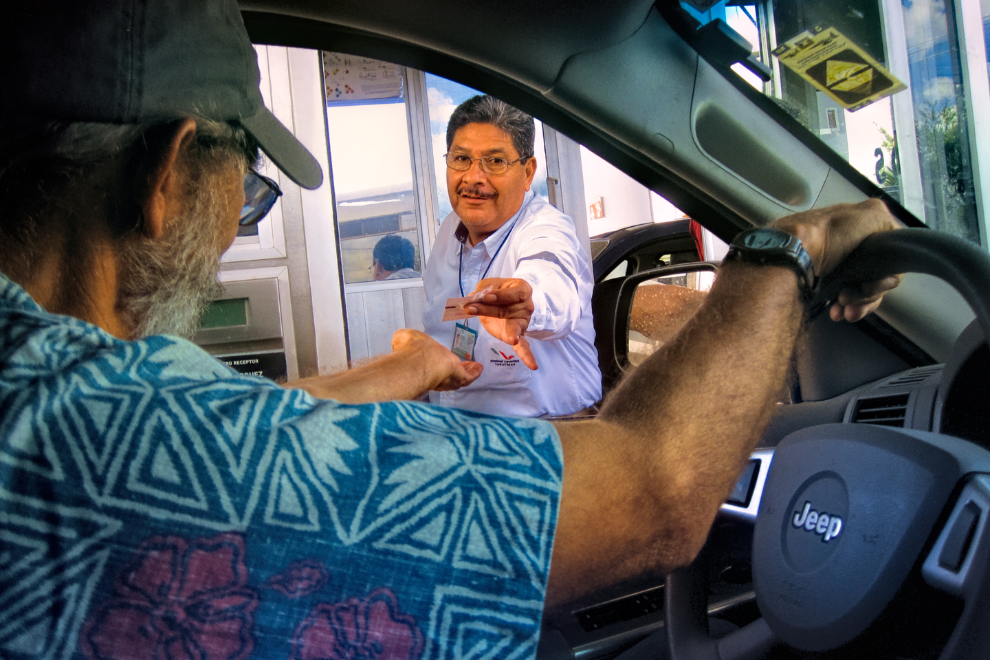
Approaching Ocosingo, the largest town along the route and the scene of frequent problems with the Zapatistas, we ran into the first military road block we’d seen along this road. The soldiers were polite, if curious, wanting to know where we were from, and where we were going.
OCOSINGO
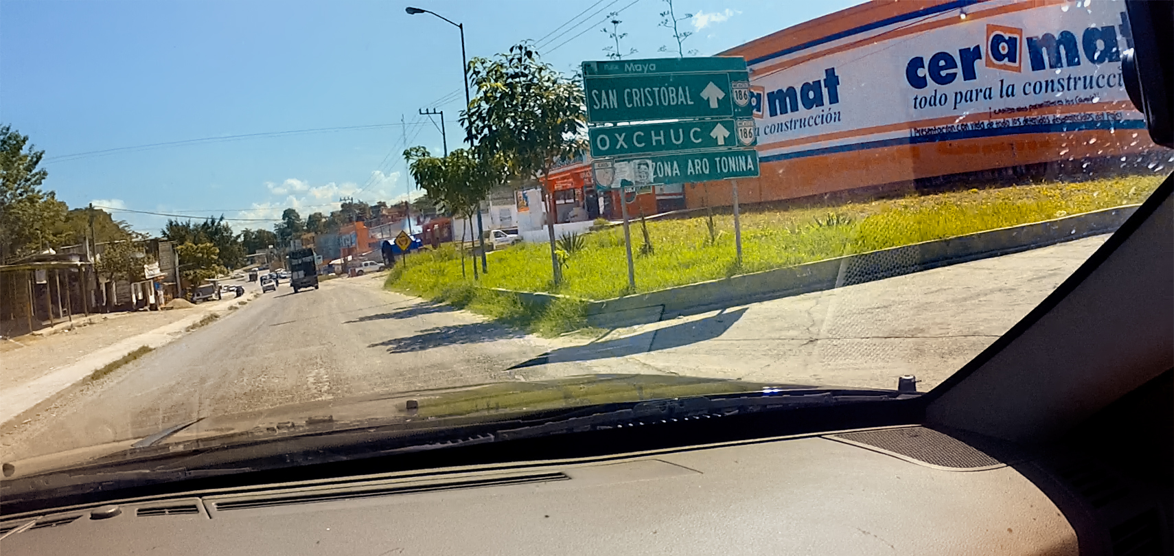
There was quite a lot happening in Ocosingo, the halfway point of this day’s drive. The town was bigger than I expected, with a population of 40,000 and many businesses. Ocosingo is the access point to Tonina, an important Mayan ruin, but, sadly, we just didn’t have time for it. We passed an unusual stone building: the Hotel Hacienda La Ilusion (The House of Illusion). Not sure how nice it was, as hotels go, but I was intrigued by the name!
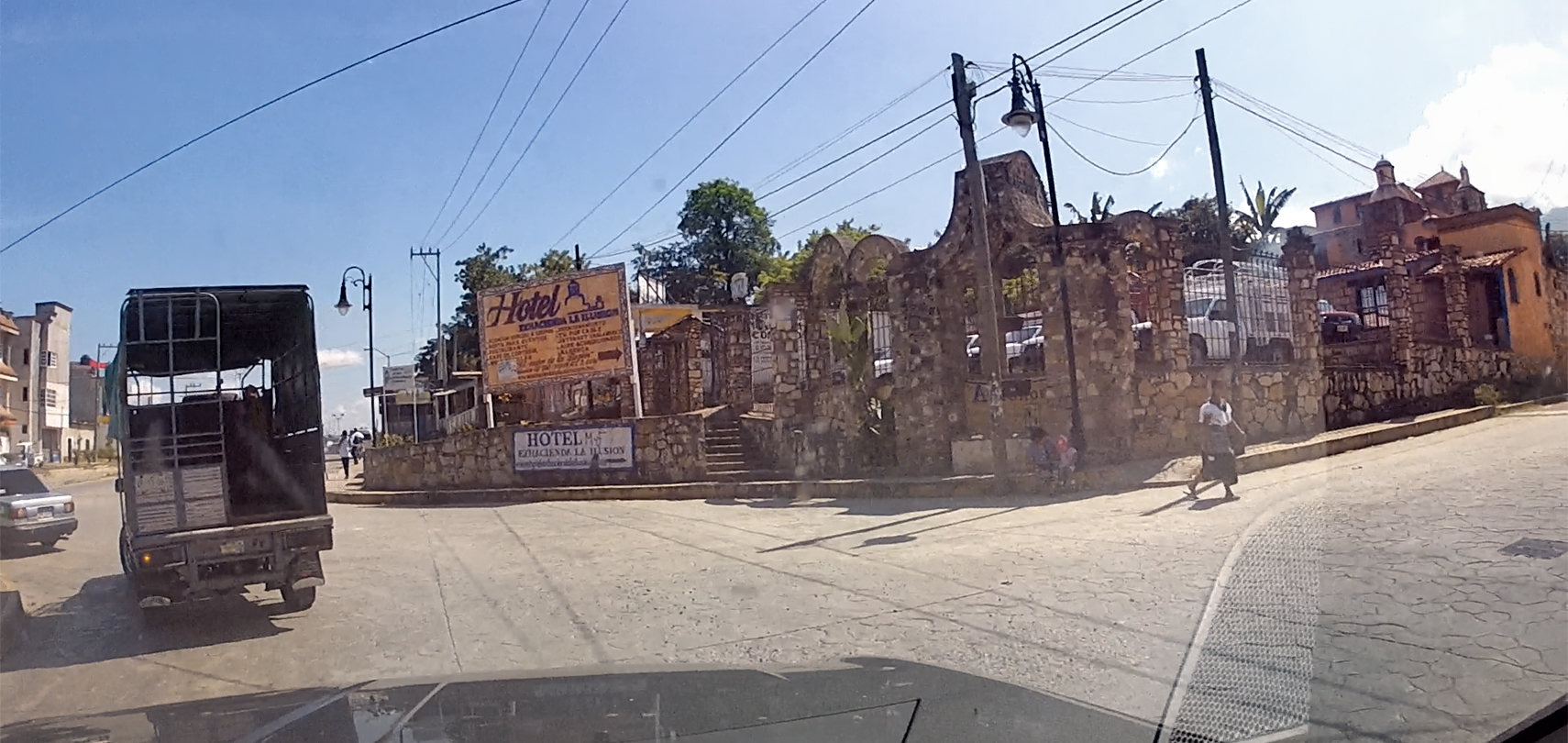
Street scenes in Ocosingo; Hotel Hacienda La Ilusion
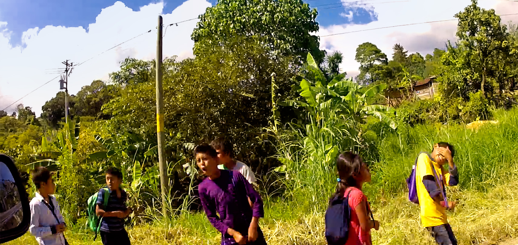
We passed a group of children walking home from school; the young gentleman in the purple shirt shouted an enthusiastic greeting consisting of a single word:
“PUTO!” (Loose translation: F**ker!)
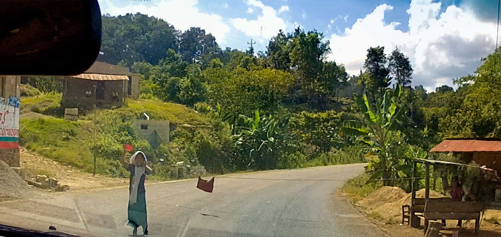
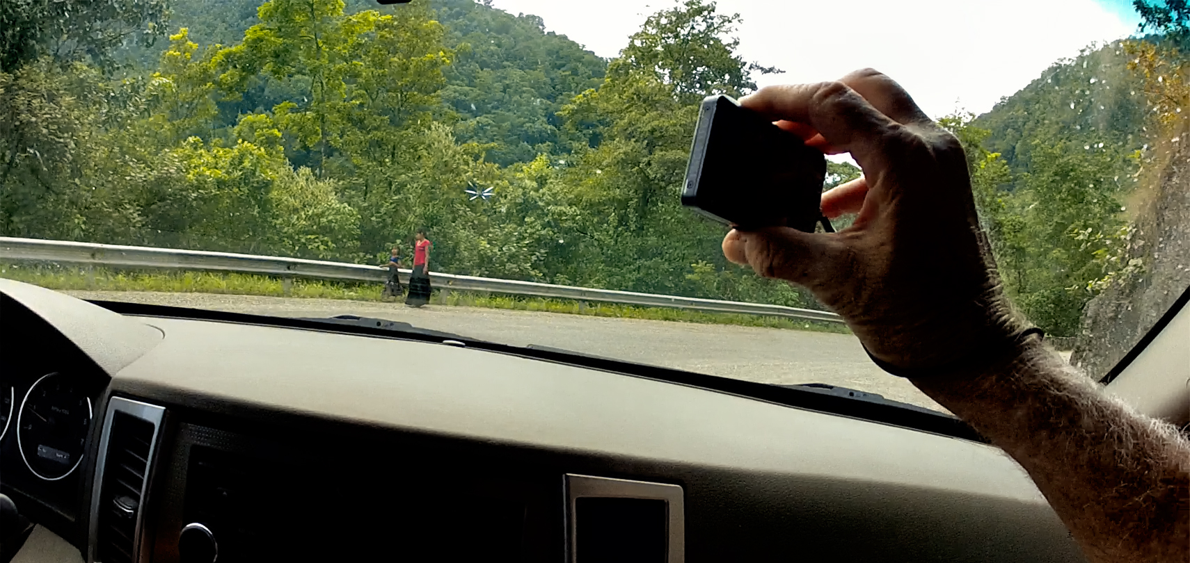
This young lady didn’t like us much, either, but her approach was far more pragmatic. She had a thin rope stretched across the road, with a red flag attached to insure that we’d see it. We stopped, and she demanded 20 Pesos to let us pass. I offered 10 Pesos, which she grumpily accepted.
CLICK PHOTOS AND MAPS TO EXPAND
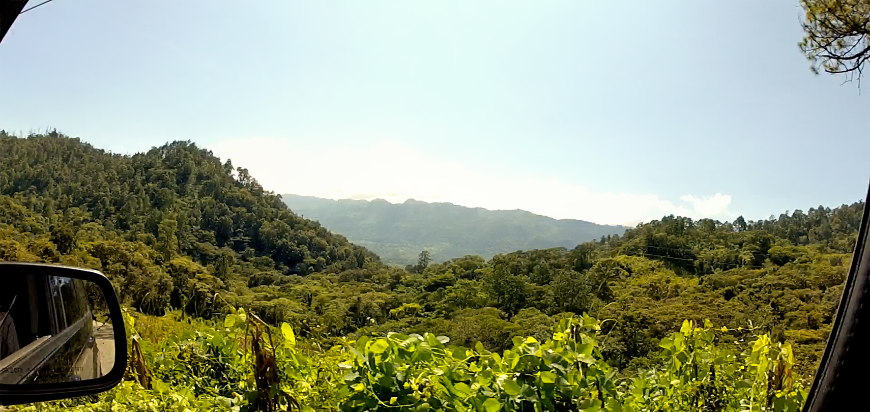
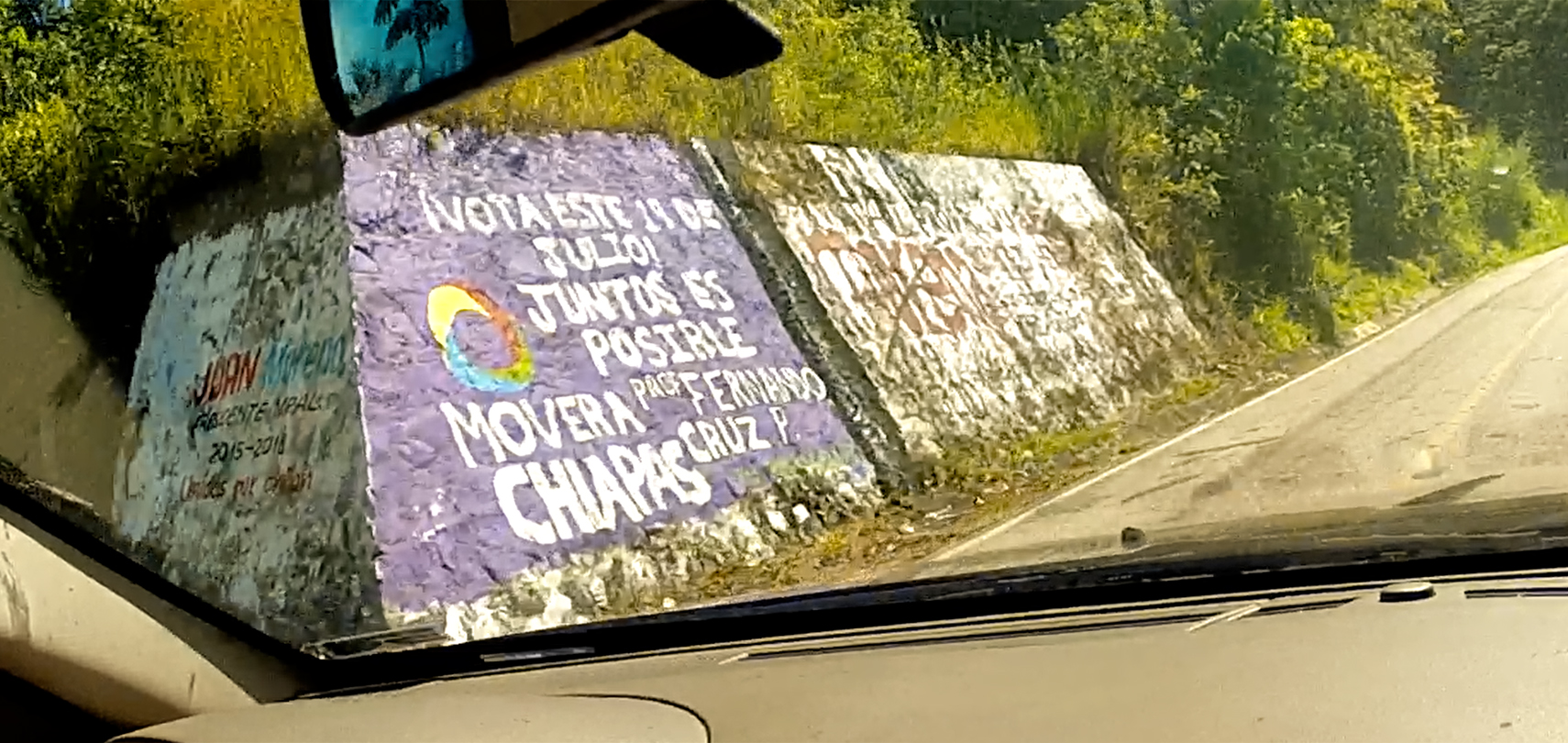
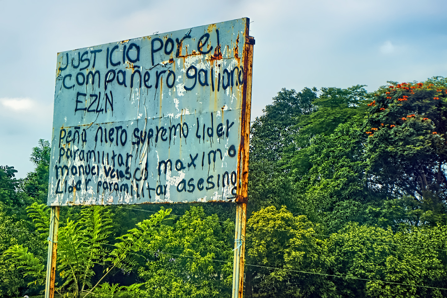
After Ocosingo, the terrain was a bit less rumpled, leaving more space for people. We passed through a series of small towns, including one that had a shrine emblazoned with the following: “APARECIO LA VIRGEN A LAS 8:00 DE LA MANANA EL DIA 12 DE DICIEMBRE DEL (2008).” Meaning that the Virgin Mary appeared in this very spot at 8:00 in the morning on December 12, 2008. That’s pretty darned specific! This is Zapatista territory, as evidenced by the protest signs on a rainbow colored bodega.
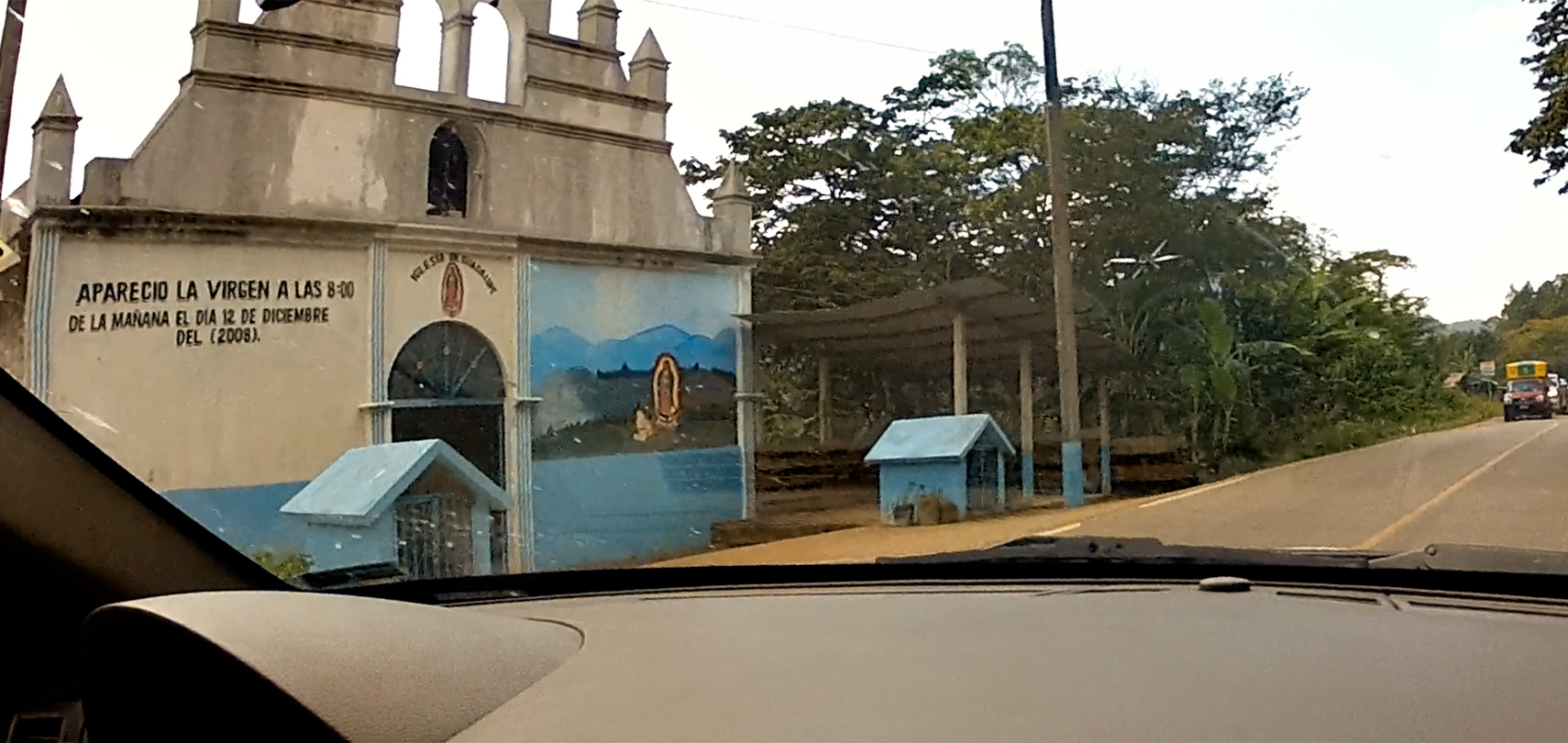
A Shrine commemorating the miraculous appearance of the Virgin Mary in this very spot: 8 AM, December 12, 2008.
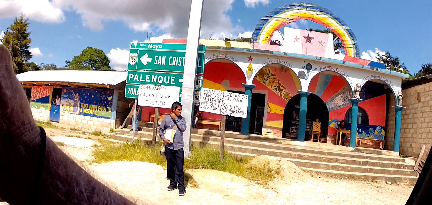
A grocery store/cafe, painted in rainbow colors and festooned with slogans inspired by the Zapatistas.
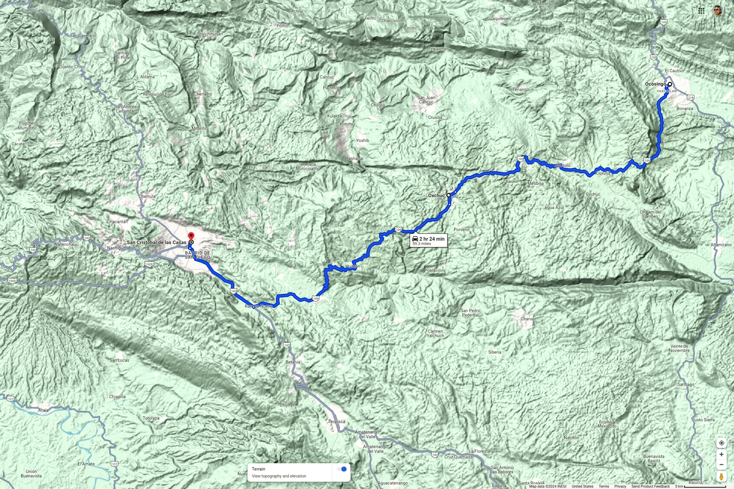
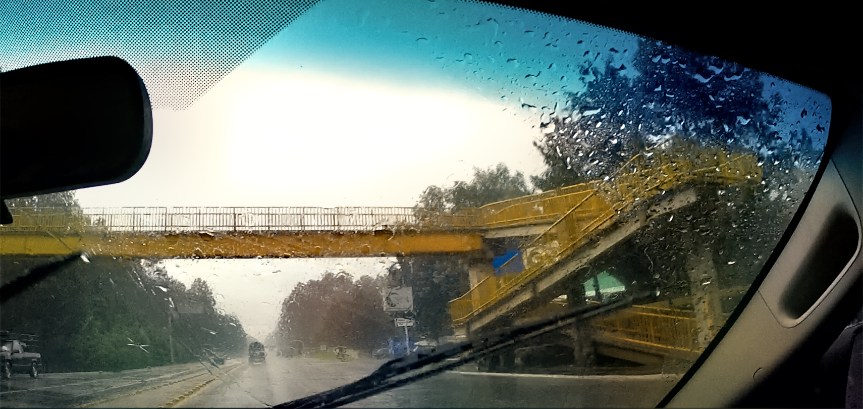
MX 199 from Ocosingo to San Cristobal de las Casas
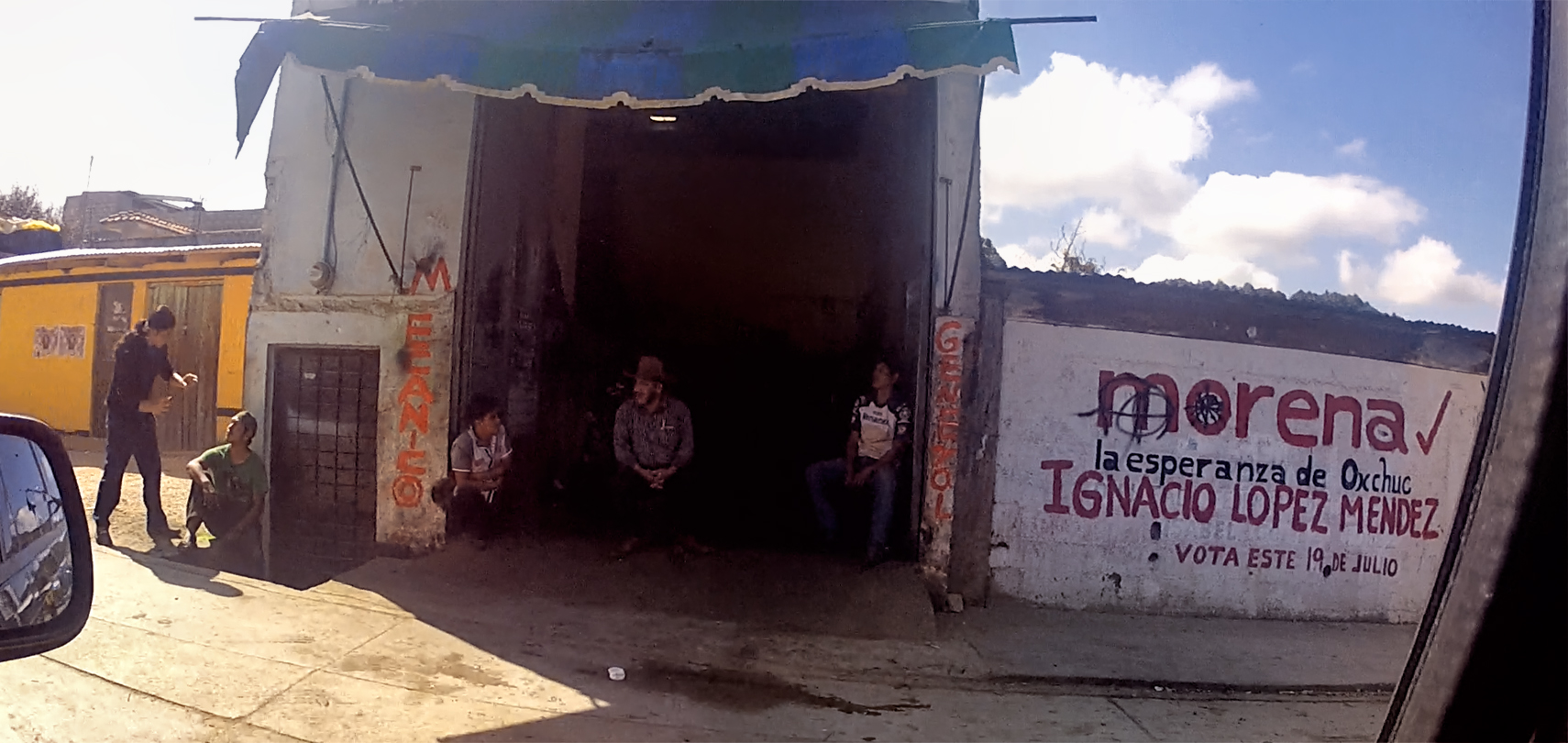
The Zapatista Army of National Liberation (ELZN), has been in business for three decades, since 1994, and these towns and villages in the Chiapas Highlands are the heartland of that movement. At one time, the Zapatistas took over the local government in Ocosingo, Oxchuc, and even in San Cristobal de las Casas. They are nowhere nearly as active currently, but their influence, and their core philosophy of “Here, the People Rule, and the Government Obeys,” still predominates in this fiercely independent region.
OXCHUC
Oxchuc was another good-sized town, about halfway between Ocosingo and San Cristobal. That place was Zapatista Central, and the scene of many protests and other incidents, including the previously mentioned attack on the Russian tourist who refused to pay the toll at their roadblock. When Mike and I passed through Oxchuc, there weren’t any roadblocks (not even the little ones, with ropes and strings), so we didn’t have any negative encounters.
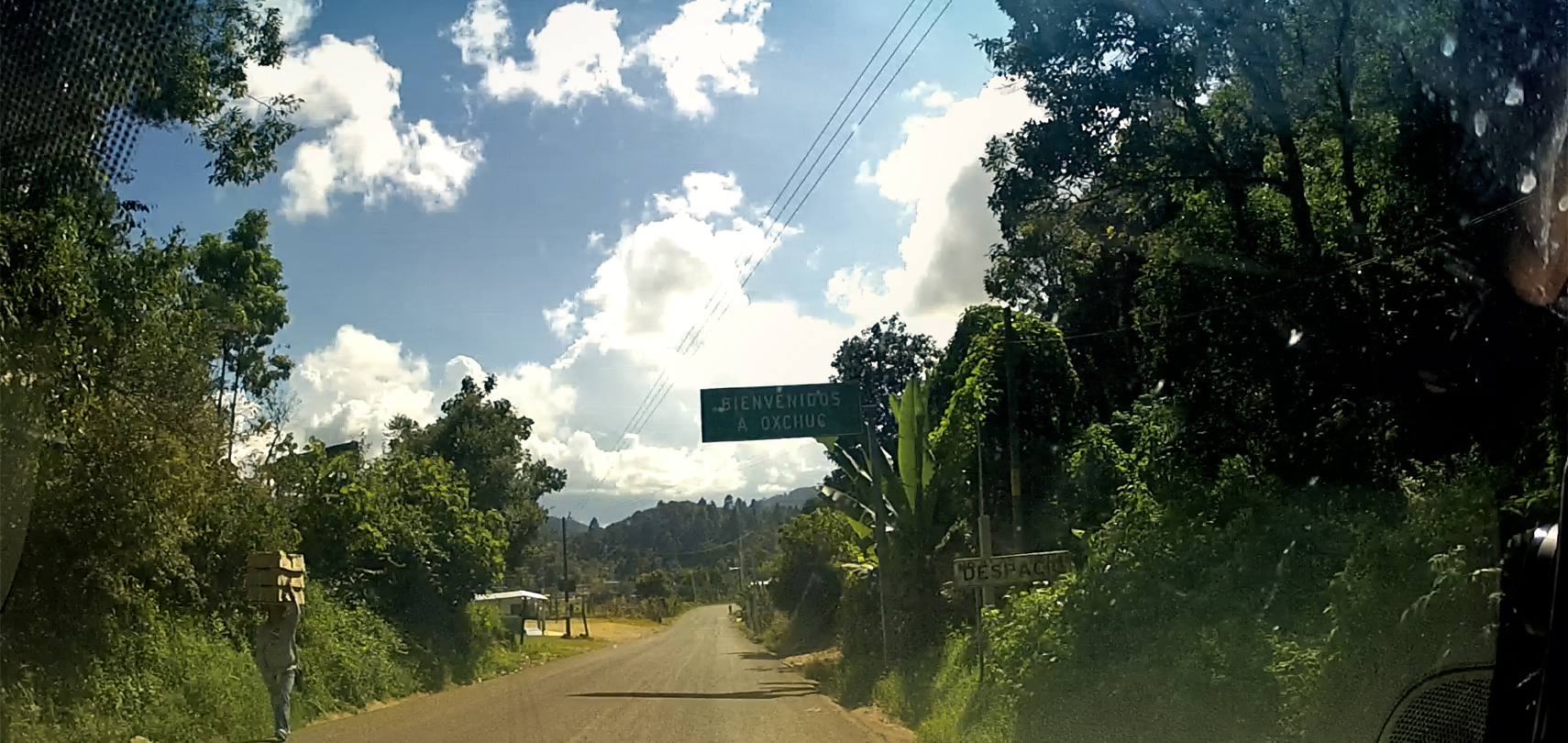
Highway Sign: Welcome to Oxchuc
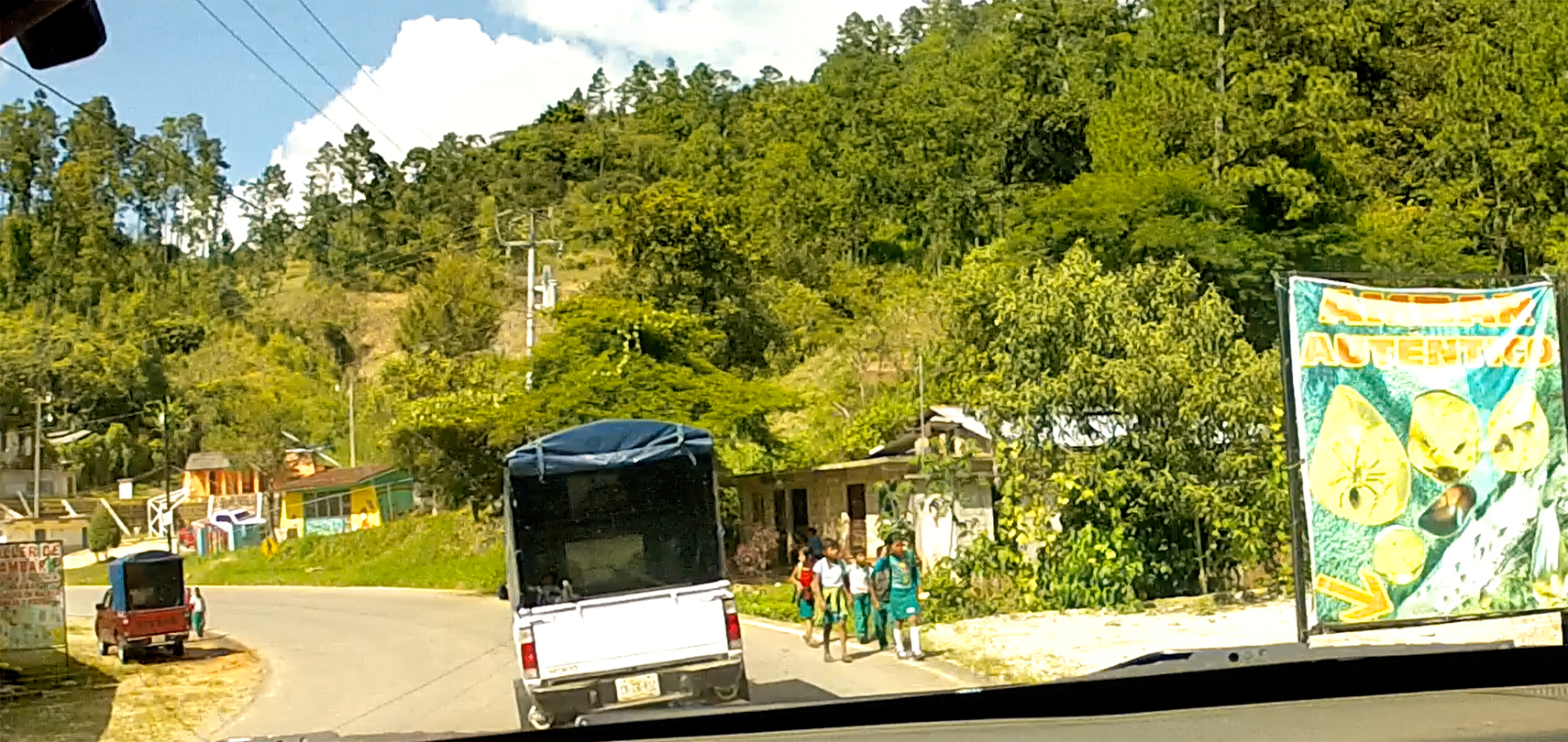
School children walking home in Oxchuc
Street scenes in Oxchuc, Chiapas

Surly dude in Oxchuc, crossing his arms to hide his holster
A pack of camionetas (small trucks) leaving Oxchuc
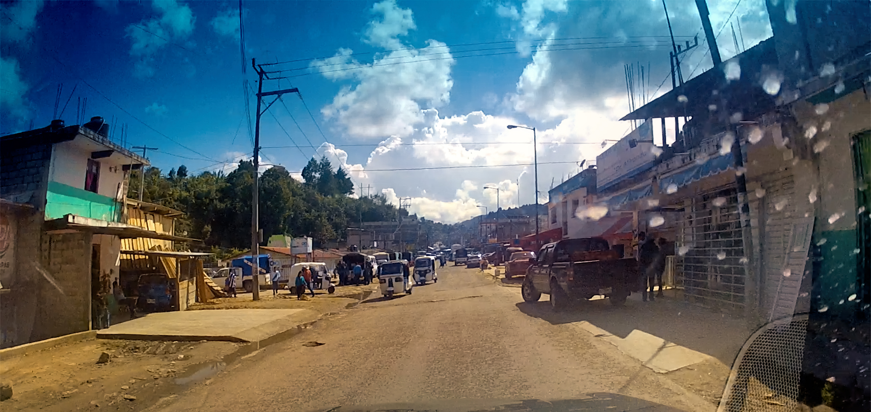
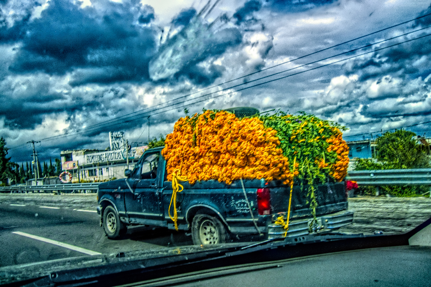
We did get a few surly glares. There was one dude in particular who appeared to be wearing a shoulder holster, but when he saw us driving by, he quickly crossed his arms to conceal it. Security guard? No uniform, so not likely. Mike and I speculated that he might be a cartel enforcer, supervising the loading or unloading of some sort of contraband. The downtown area in general was surprisingly congested; down every side street there were camionetas (little trucks) loading and unloading. Some carried cargo, others carried passengers, protected from the wind and rain by colorful canvas shells that formed a roof over the truck bed, and extended forward to provide additional protected cargo space above the cab. These trucks were clearly the vehicle of choice in the Chiapas Highlands, and we saw them everywhere along the road, sometimes traveling in packs.
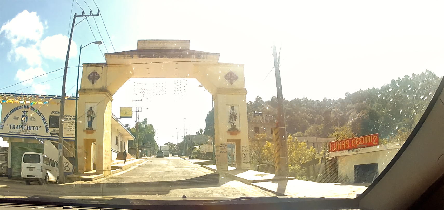
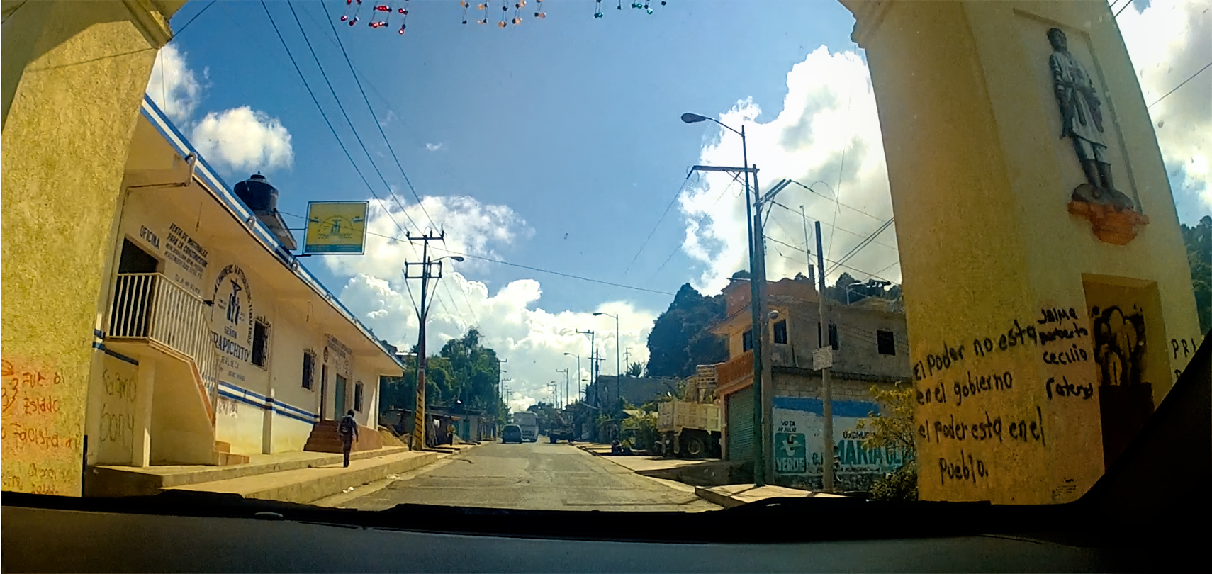
Arco de Bienvenida, the Arch of Welcome, Oxchuc, Chiapas
On the way out of town, we passed under the “Arco de Bienvenida,” the Welcome Arch, Oxchuc’s most recognizable landmark, and a convenient chokepoint for blocking traffic, any time the need arises (or whenever the mood strikes). There is spray-painted graffiti on the wall of the arch trumpeting the Zapatista credo: “El poder no esta en el gobierno, el poder esta en el pueblo.” Translation: “The power is not in the government, the power is in the people.”
CLICK PHOTOS TO EXPAND
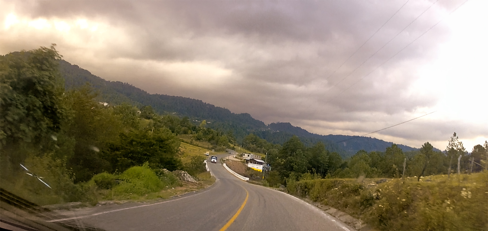
Up to this point in the drive we had good weather, but these were mountains, after all, and in the mountains, the weather is always subject to change. Clouds that had been building along the western horizon moved overhead and turned dark. We were finally getting close to our destination when the first fat drops hit our windshield.
Getting closer to San Cristobal de las Casas, rainy weather moving in from the west

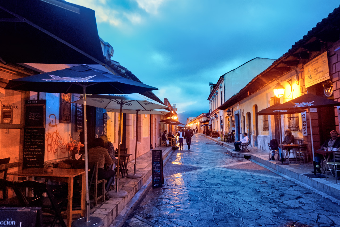
San Cristobal de las Casas is a mountain town, sitting at an altitude of more than 7200 feet. Even at tropical latitudes, that much elevation equates to cool weather in October, which was also the tail end of an active rainy season. Our first view of “the most magical of the Pueblos Magicos,” (as described by former Mexican President Felipe Calderon) came through a veil of frigid drizzle, to the beat of rapidly flapping windshield wipers.
Driving in to San Cristobal de las Casas through cold, drizzling rain
SAN CRISTOBAL DE LAS CASAS
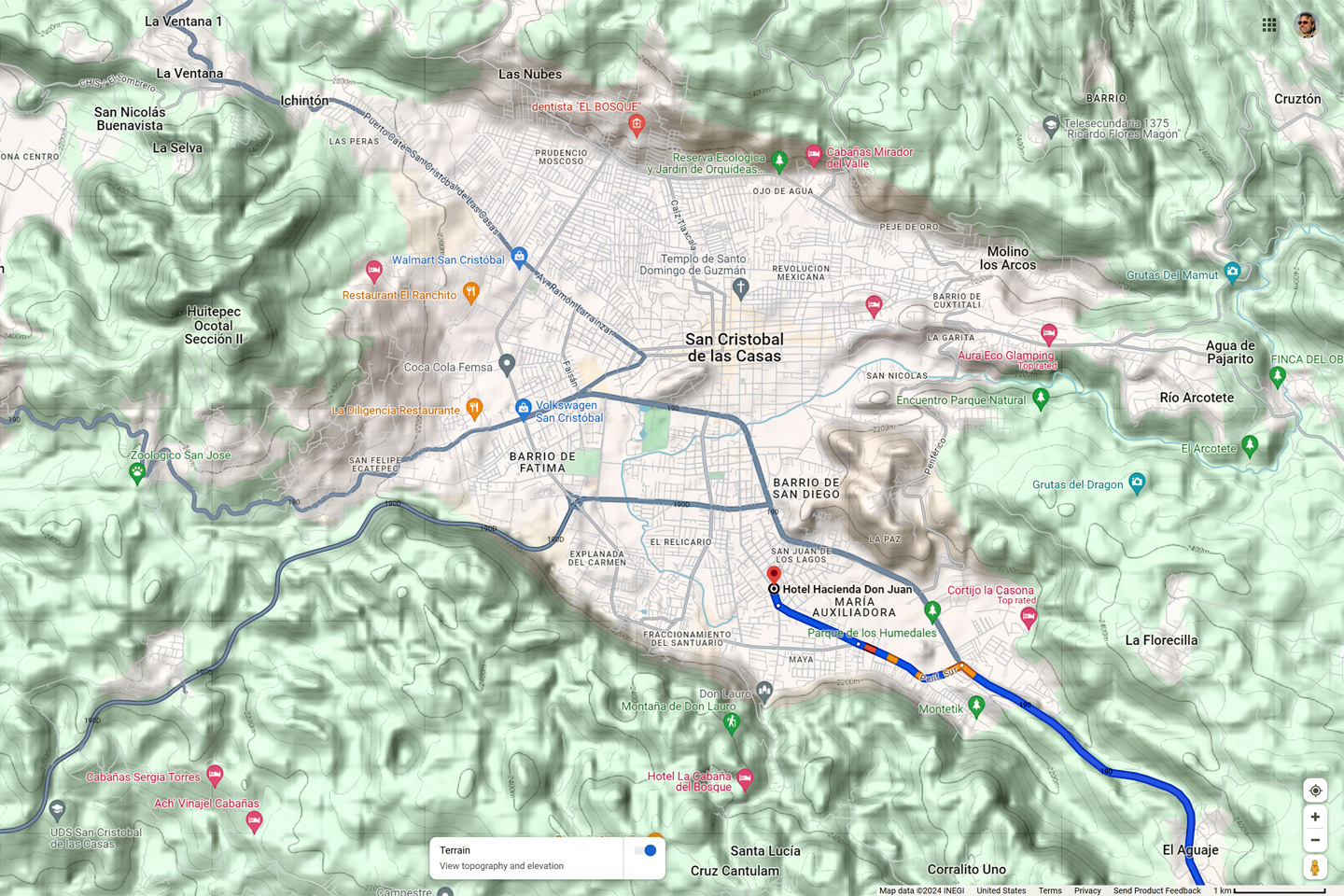
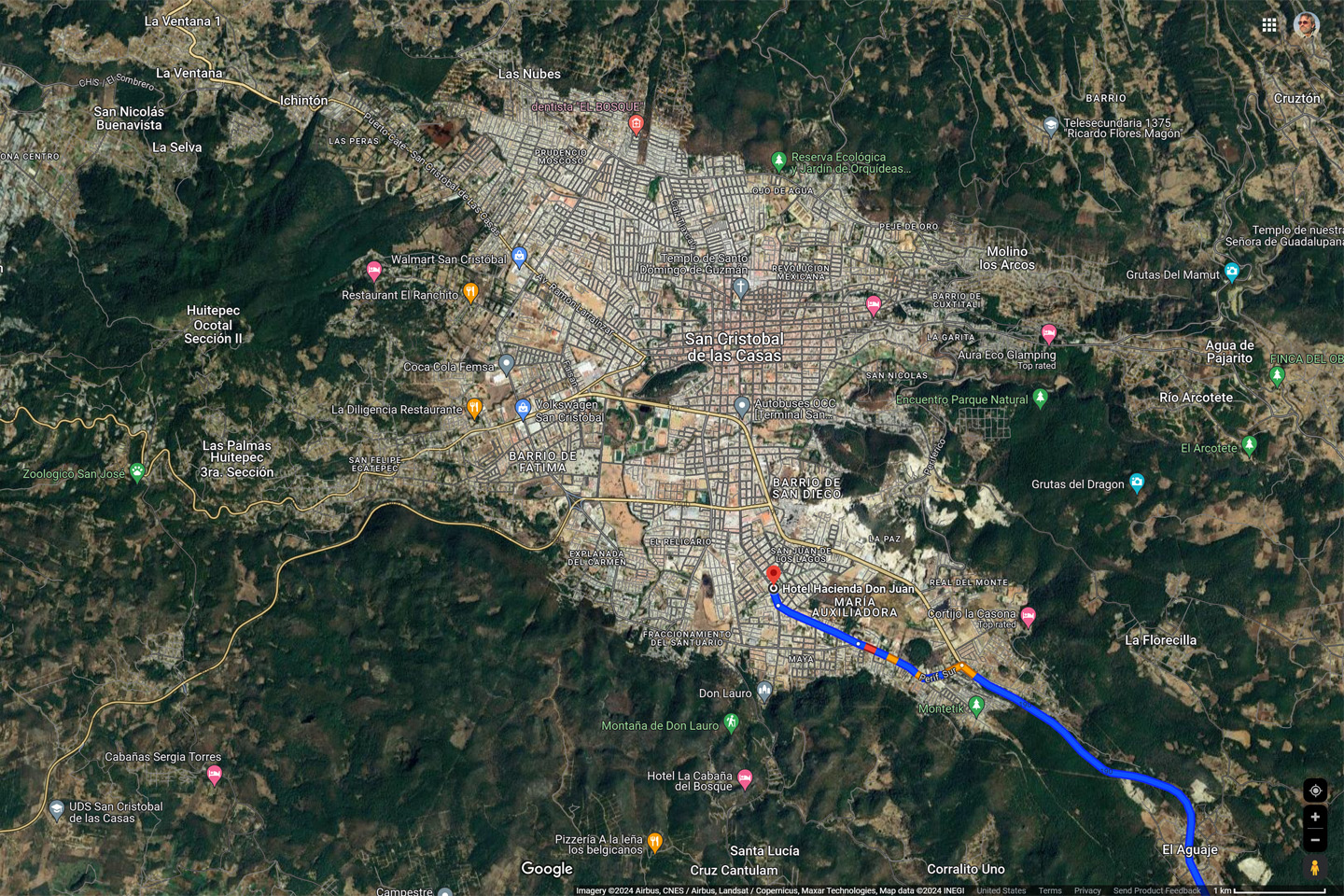
San Cristobal de las Casas, and location of Hotel Hacienda Don Juan
We entered the maze of narrow, mostly one-way streets, with rain falling steadily, and no clue where we were, or where we were going. I’d reserved us a hotel room through Expedia.Mx, a place called the Hotel Hacienda Don Juan. It sounded terrific on the website, but it was NOT in the center of town with the rest of the hotels, so finding it proved quite a challenge. We programmed the address into Mike’s phone and started following the turn-by-turn instructions. If we’d used the GPS from the beginning, it would have been easy, but starting where we did, Google had us driving down narrow alleys and over tiny one-way bridges intended for horse carts and pedestrians.
I assumed the GPS had malfunctioned, because there was no way in the world the route we’d just followed was going to lead us anywhere but lost. We popped out of another alley and onto a main street, and, much to my surprise, there it was!
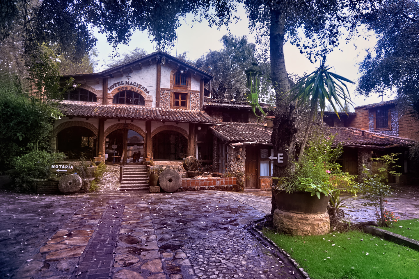
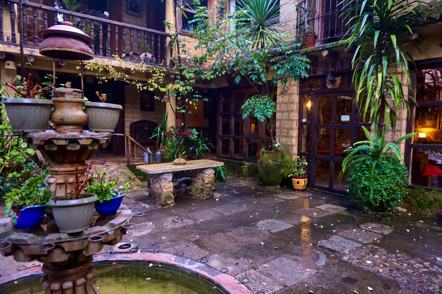
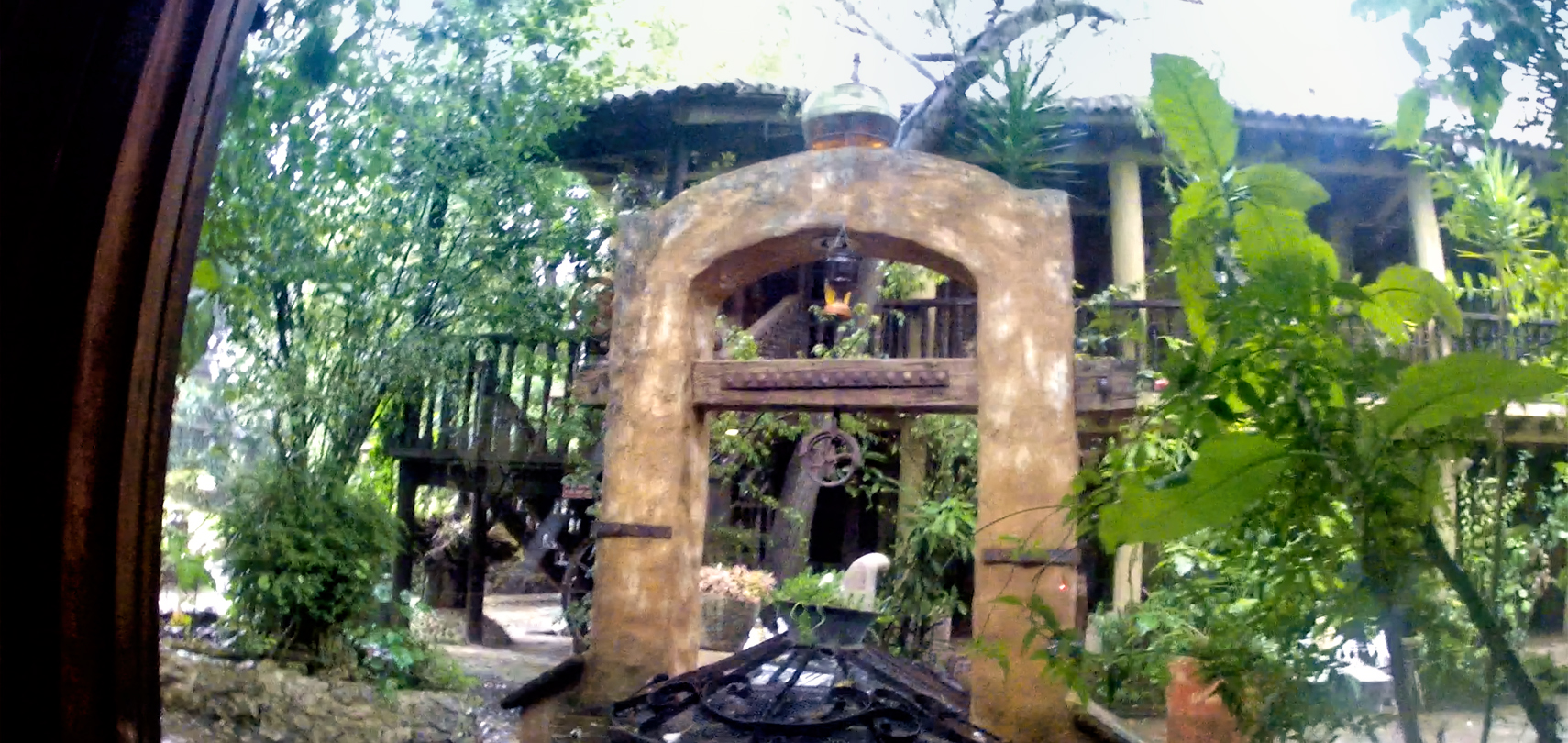
The grounds of the hotel were surrounded by a wall, so all you could see from the street was a long cobblestone drive through a tunnel of trees, leading back to a lushly landscaped courtyard. Still not quite believing that this was really the right spot, we drove in, and checked in, to what was probably the coolest hotel of our whole trip.
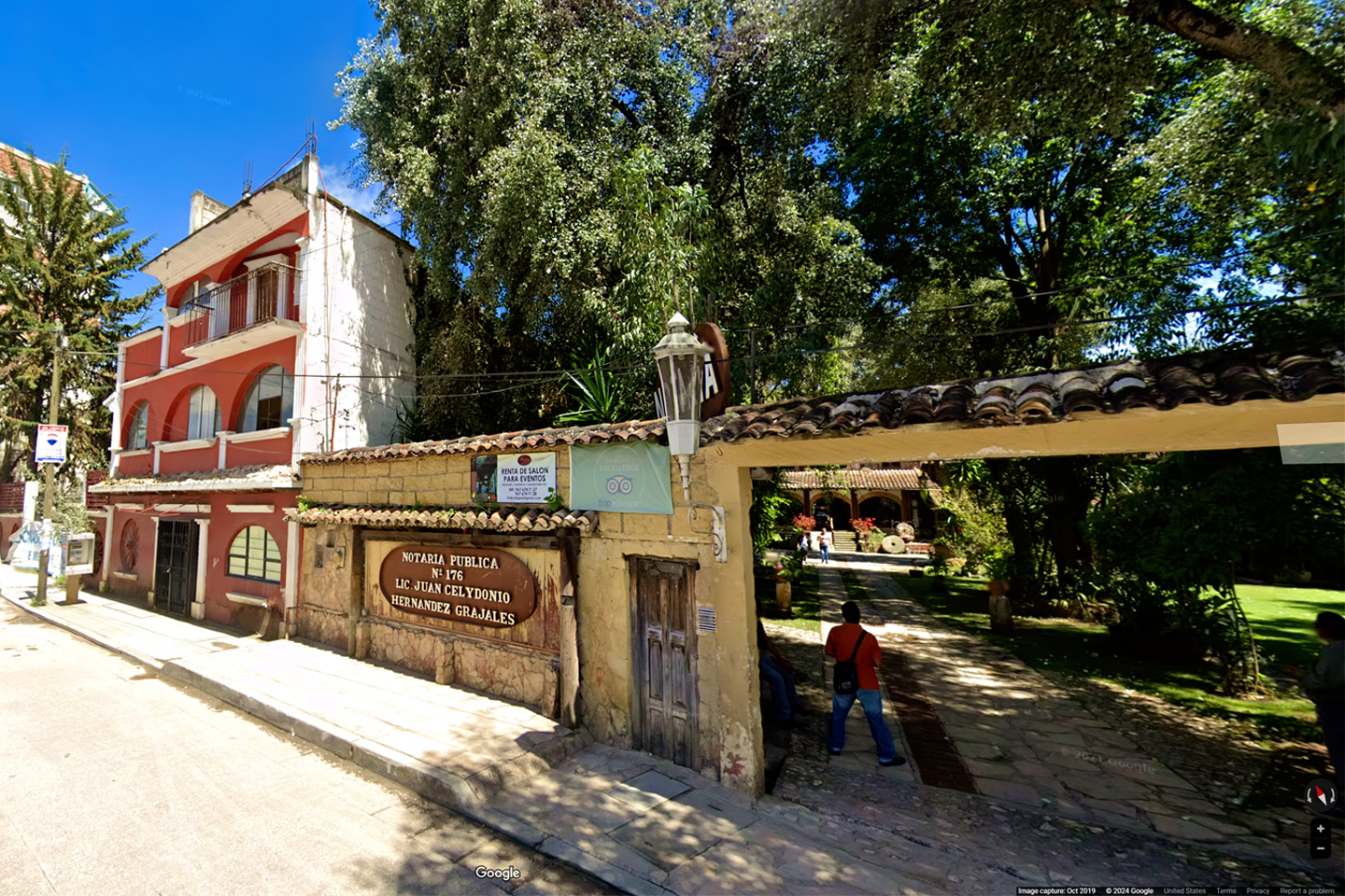
Street entrance, Hotel Hacienda Don Juan
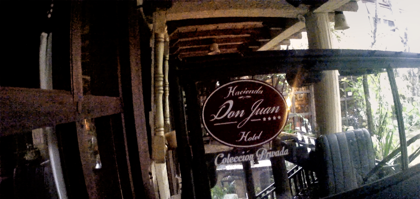
The hotel that we booked through Expedia was fantastic!
Hotel Hacienda Don Juan
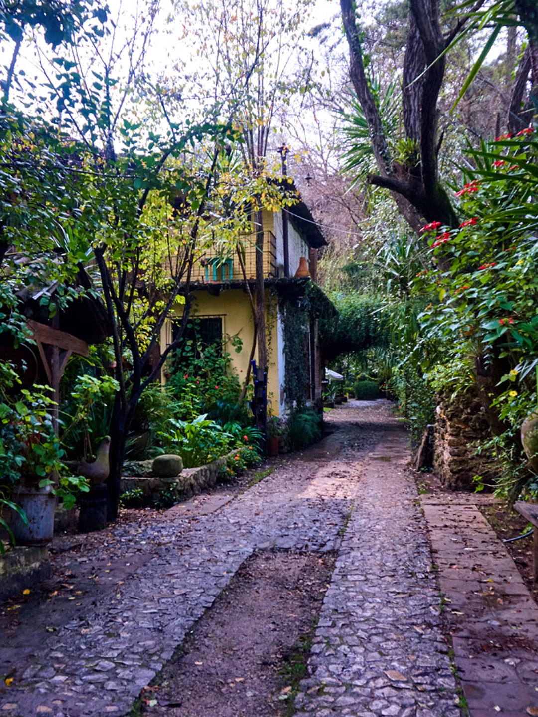
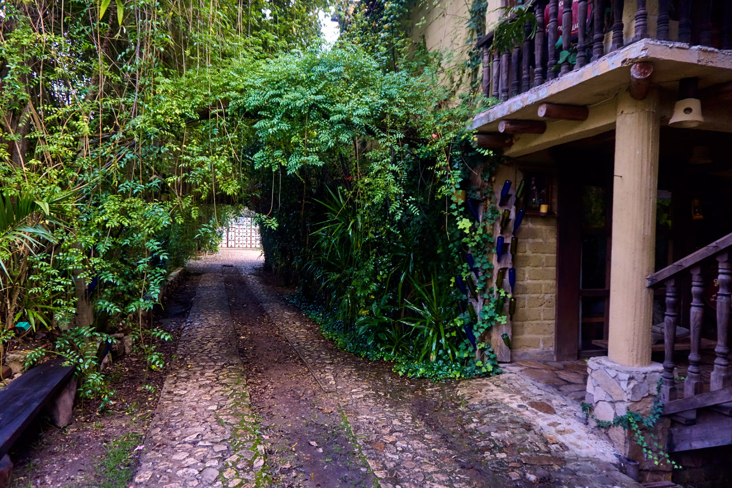
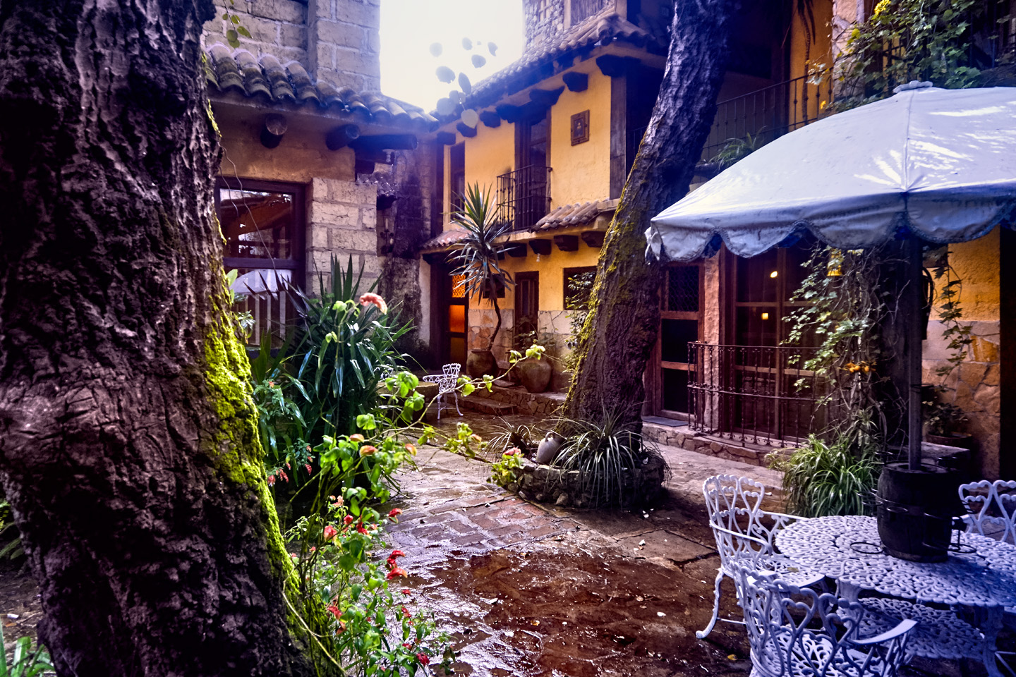
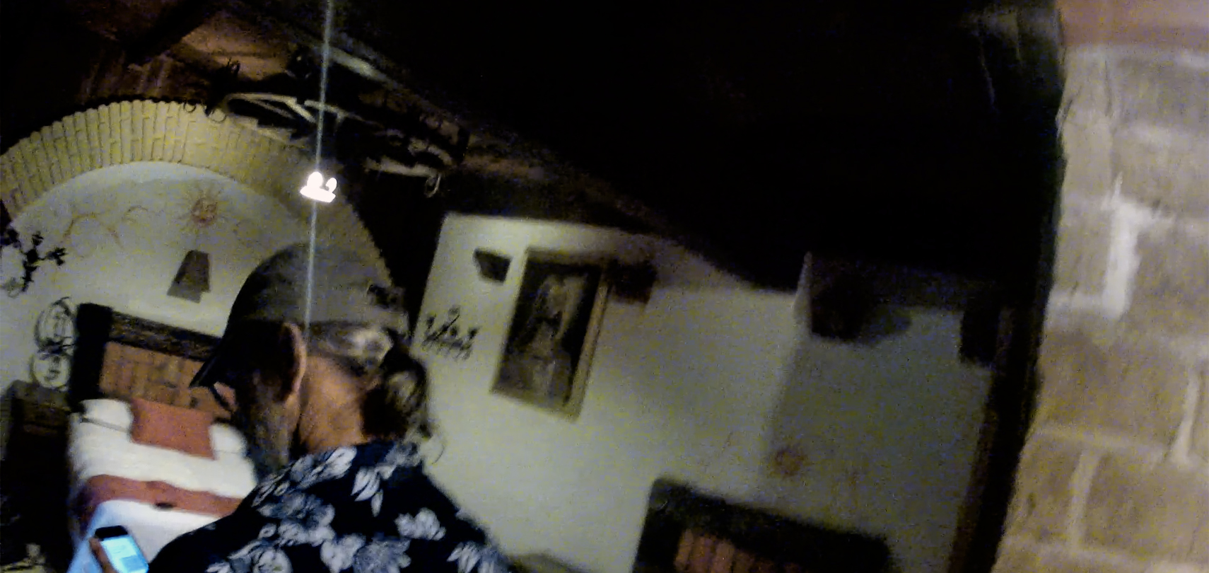
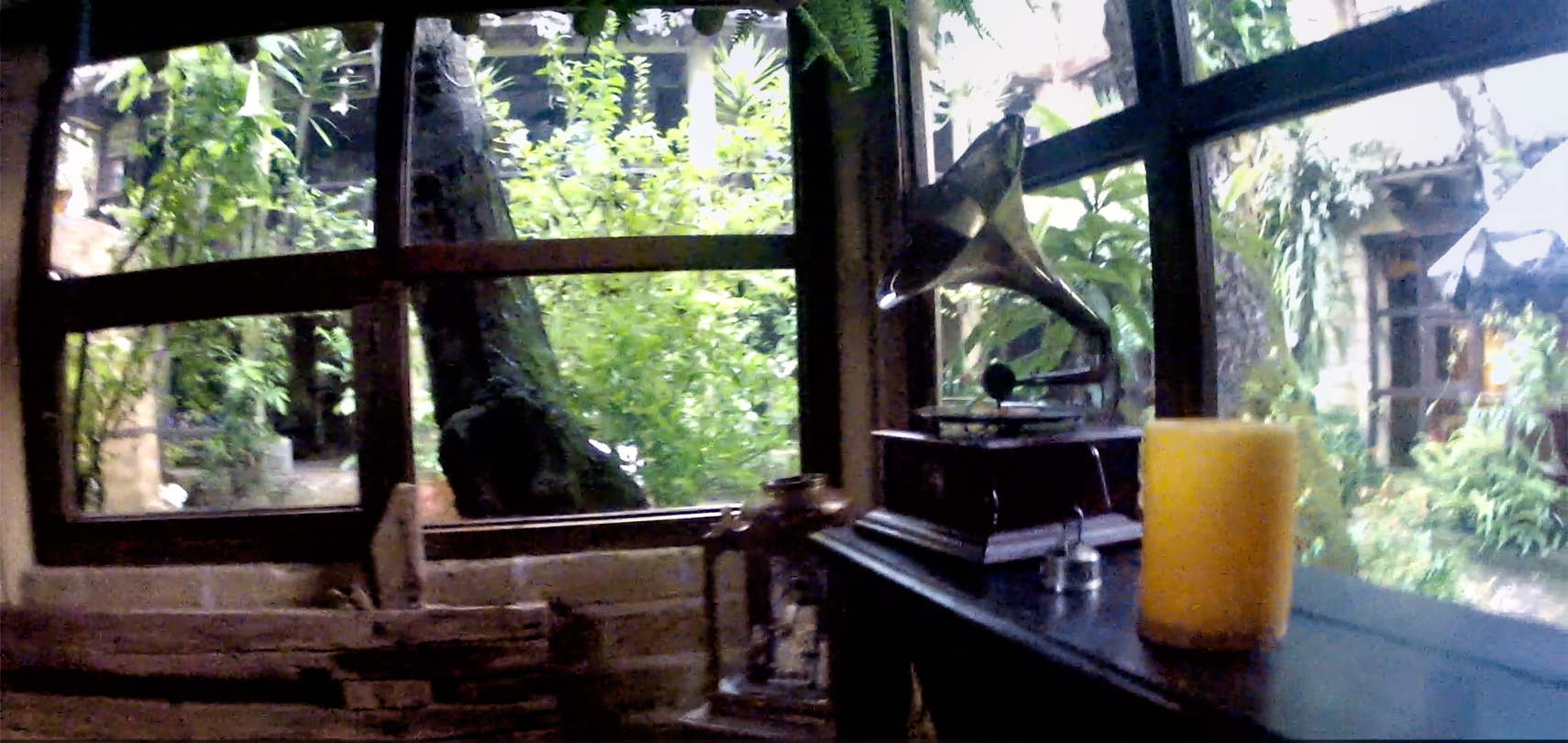
This place was a rare find, and a real treat. It was so far off the main drag, there’s no way in the world we would have ever even seen it, had it not been for Expedia. We paid just $56 per night for a double, including a full breakfast in their restaurant. Their prices have actually gone DOWN since our stay; in 2024, the same room (with breakfast) can be had for $42 per night! The place is a little rustic. The property was at one time part of a real Hacienda, and the buildings are more than 200 years old. What the hotel lacks in modern amenities, it makes up in Spanish Colonial charm!
CLICK PHOTOS TO EXPAND
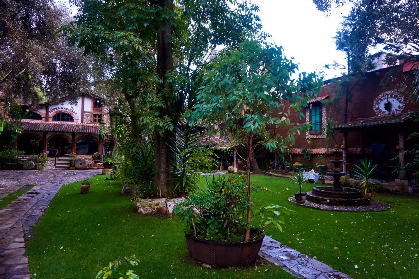
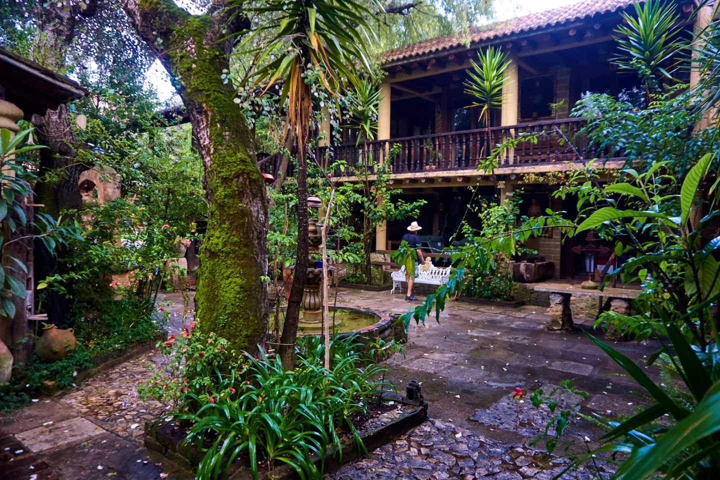
Scenes around the hotel and restaurant. There was a beautiful courtyard in front of the lobby, and an interior courtyard where our room was located. Night time temperatures dropped into the fifties, and I, for one, needed TWO wool blankets to stay warm!
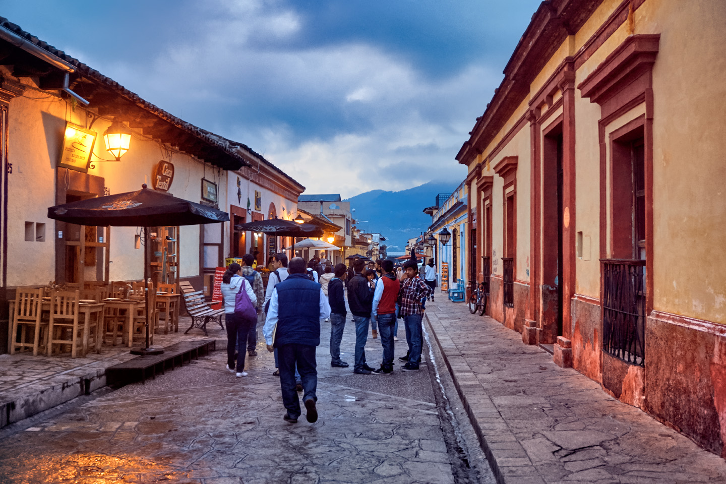
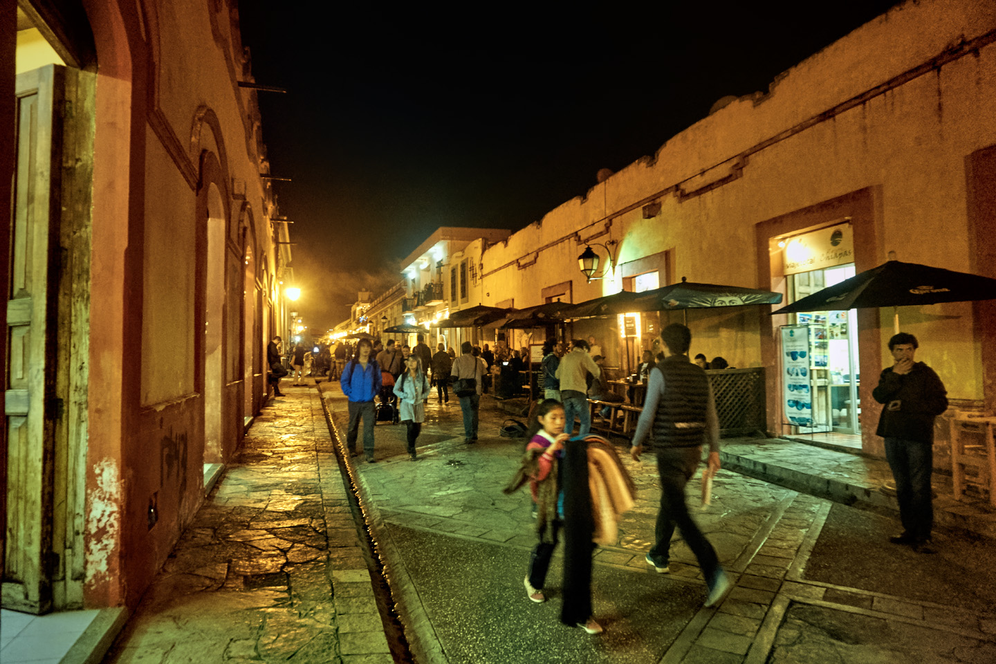
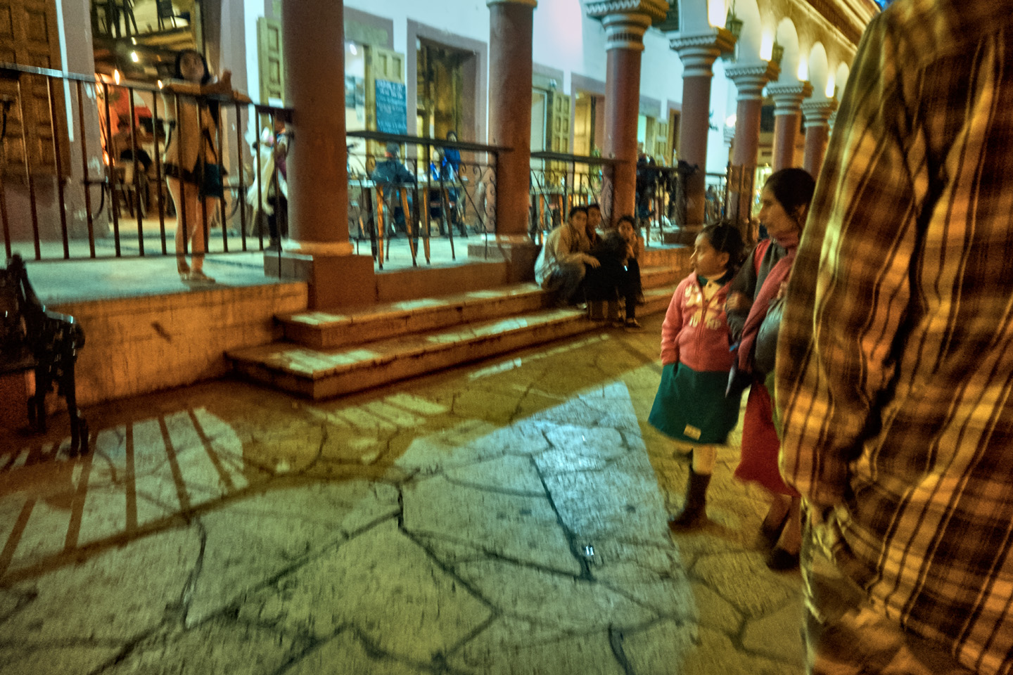
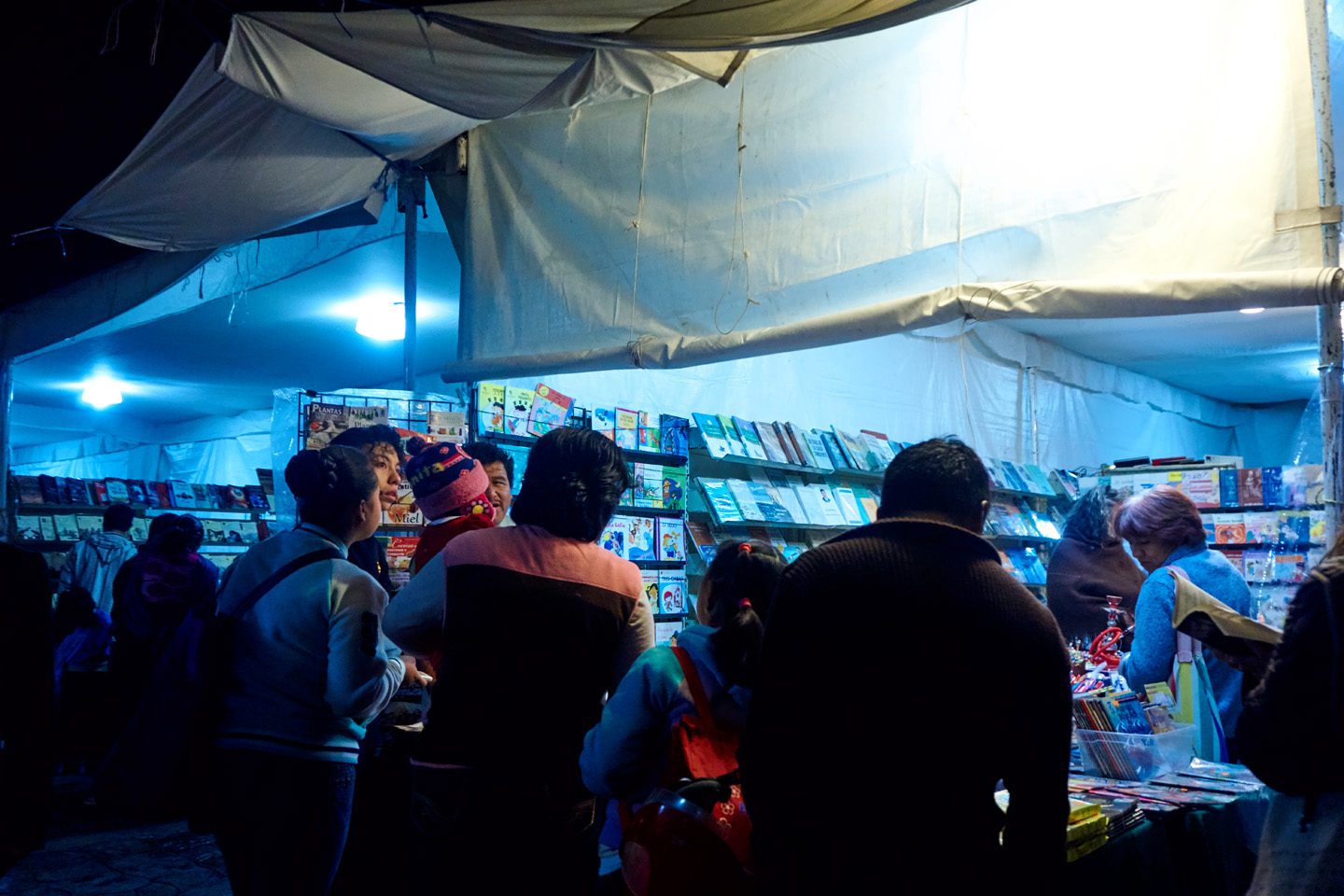
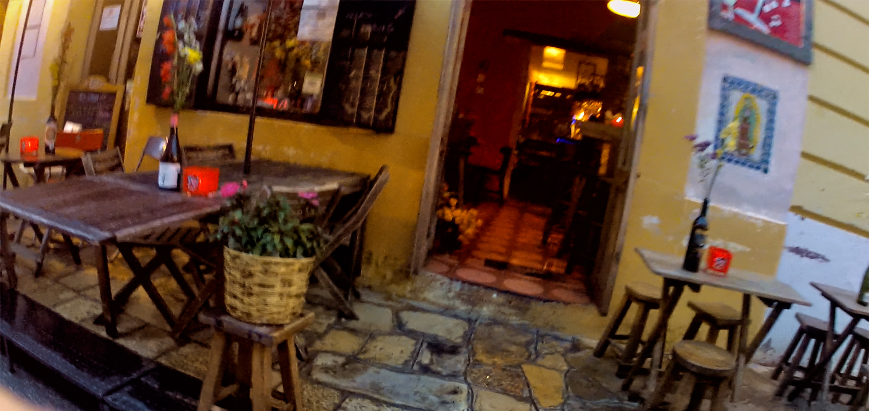
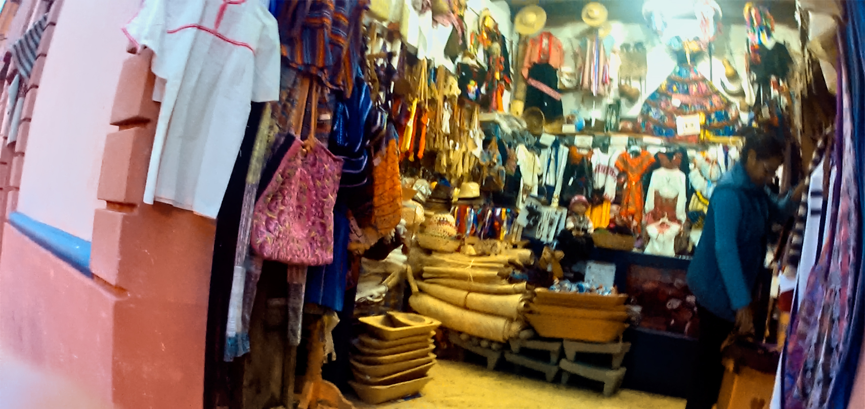
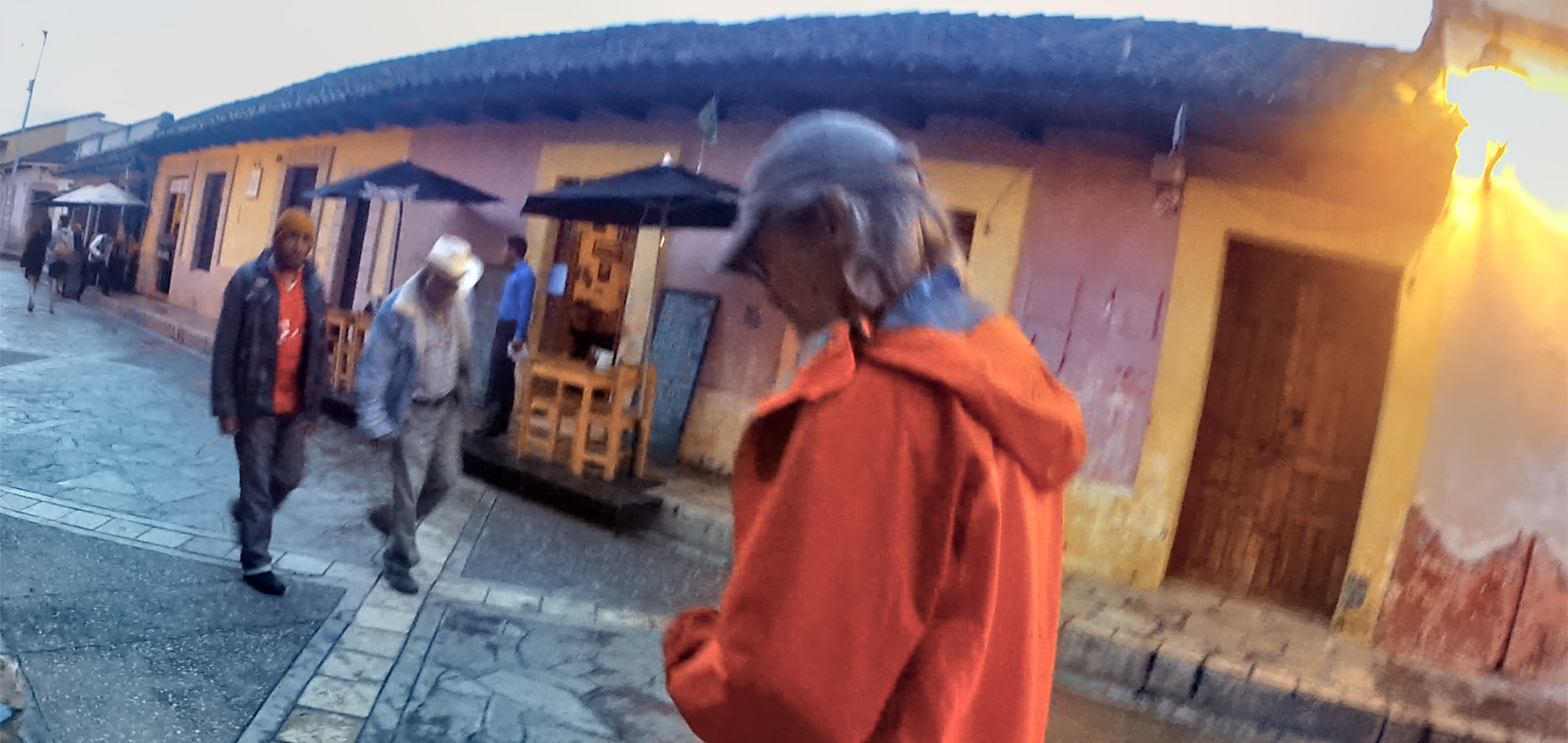
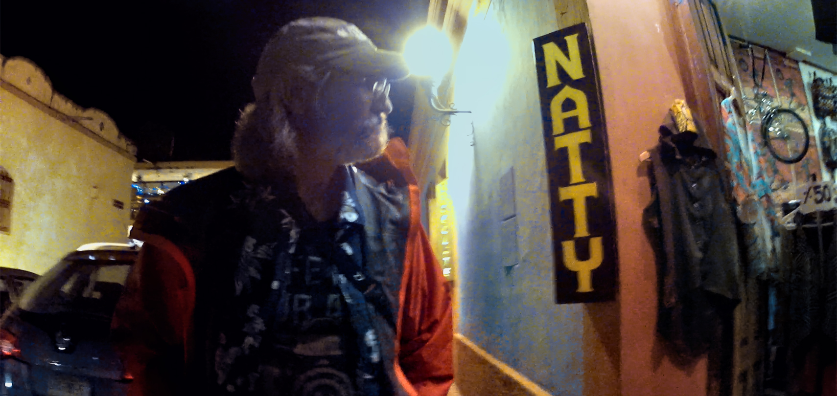
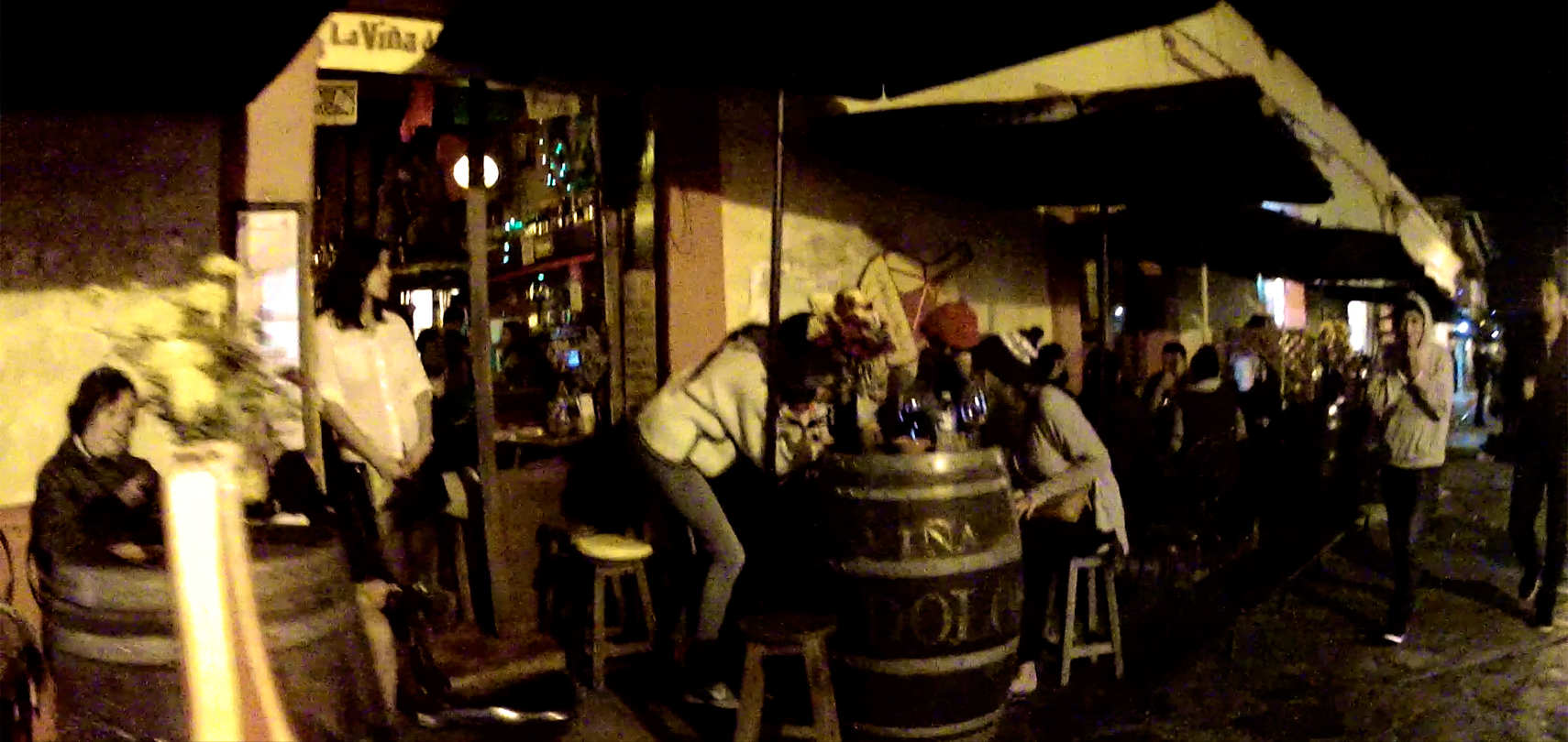
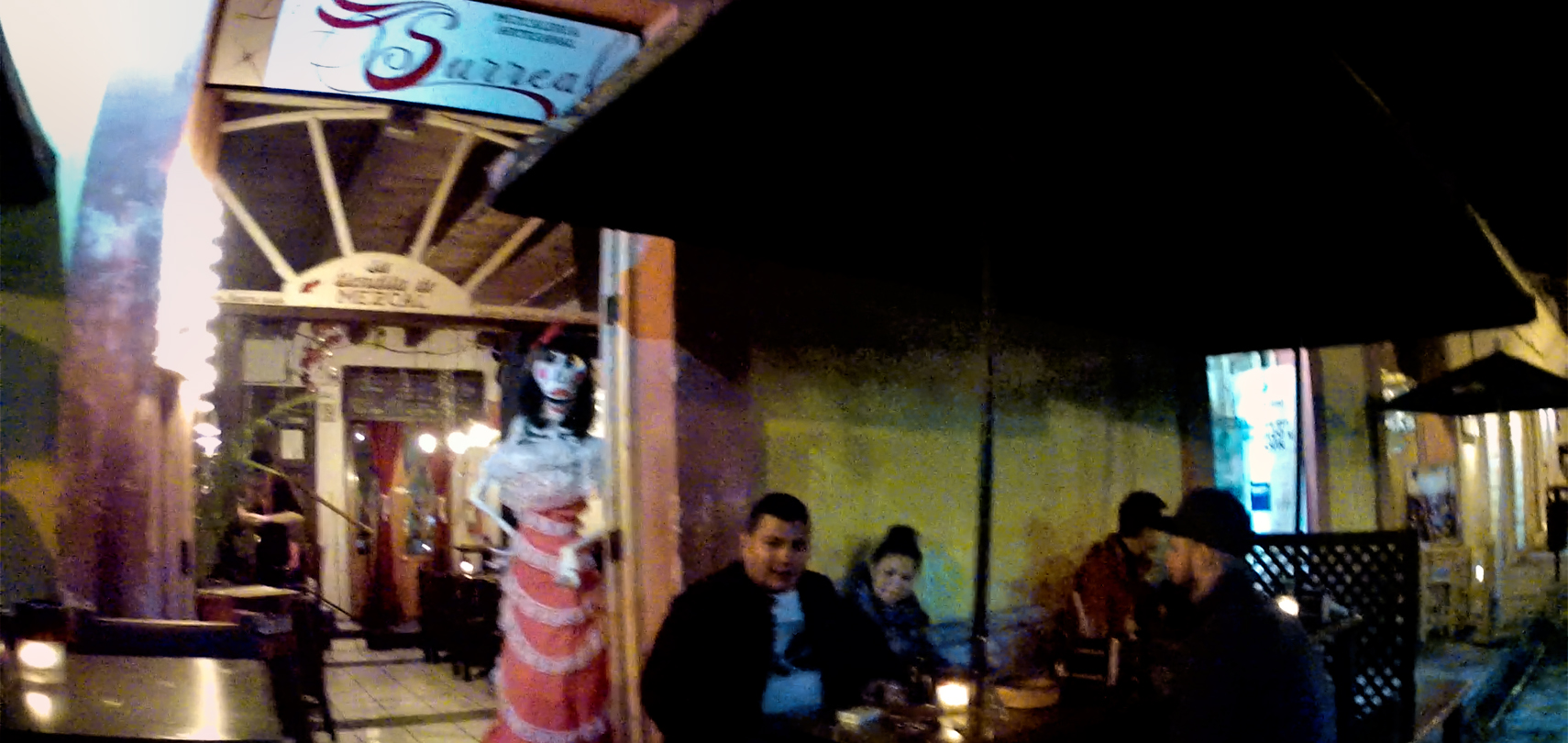
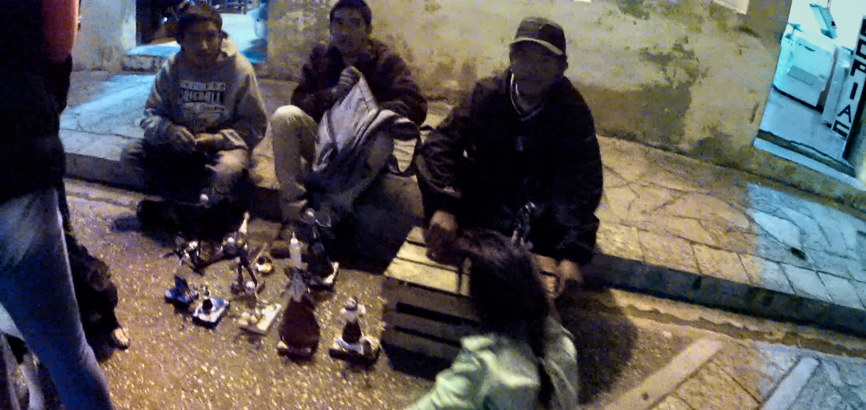
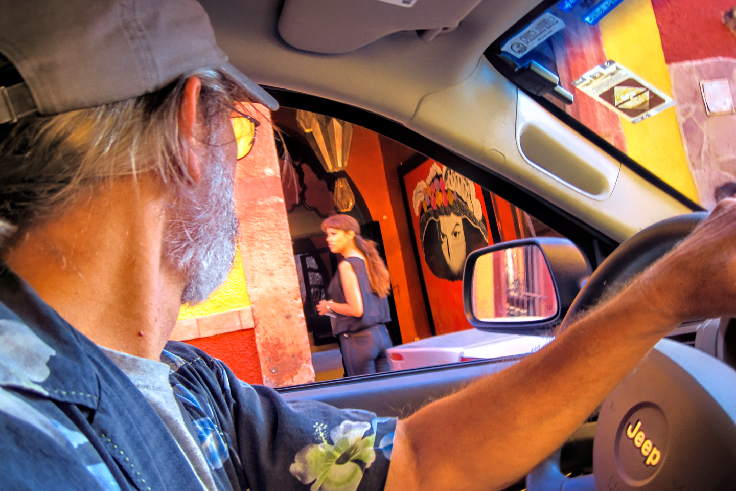
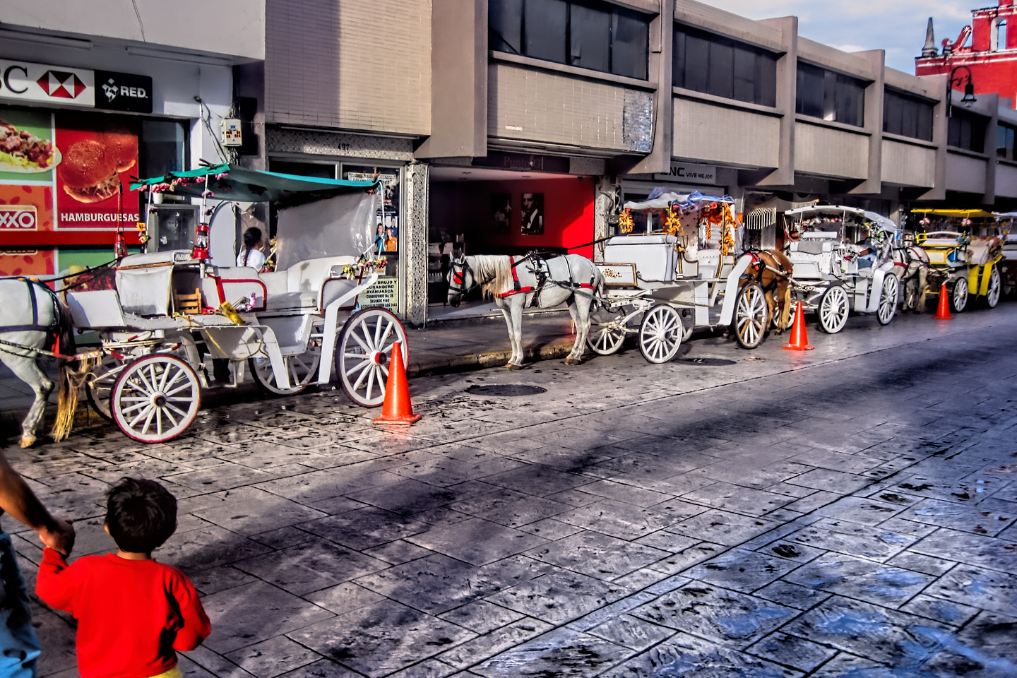
We didn’t have a lot of time in San Cristobal de las Casas. We arrived in late afternoon, and we were going to have to leave first thing the next morning. Our whole visit was compressed into a single quite wonderful evening, wandering the cobblestone streets between storefronts of buildings that were hundreds of years old. Many were restored and newly painted, mostly earth tones, rather than the muted pastels we’d so admired in Campeche. (See my earlier post: Mexican Road Trip: Edzná and Campeche, Where they Dance La Guaranducha!) The local folk were mostly indigenous Maya, with roots in this region going back countless generations, but it’s important to note that most of the people we saw on the street that night didn’t appear to be locals. They were visitors, just like us, most of them Chilangos, a disparaging term for people from the D.F. (Mexico City). There were college kids in jeans and jackets, on holiday from their studies, as well as backpacker types from Europe and Asia, all checking out the scene. Mexican President Felipe Calderon declared San Cristobal de las Casas to be “Lo mas Magico de los Pueblos Magicos!” (“The most Magical of the Magical Towns!”) That’s quite a distinctive honor, when you consider the fact that there are no less than 177 cities and towns in Mexico that have earned the designation of Pueblo Magico, an honor bestowed by the Mexican Government, for the purpose of preserving cultural heritage–and promoting tourism.
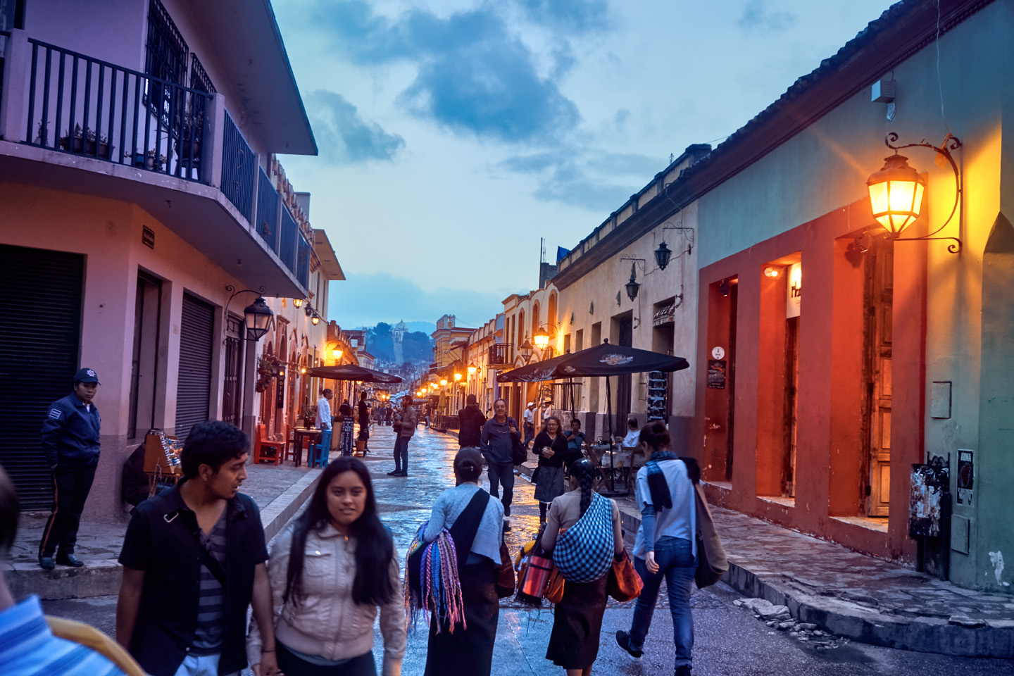
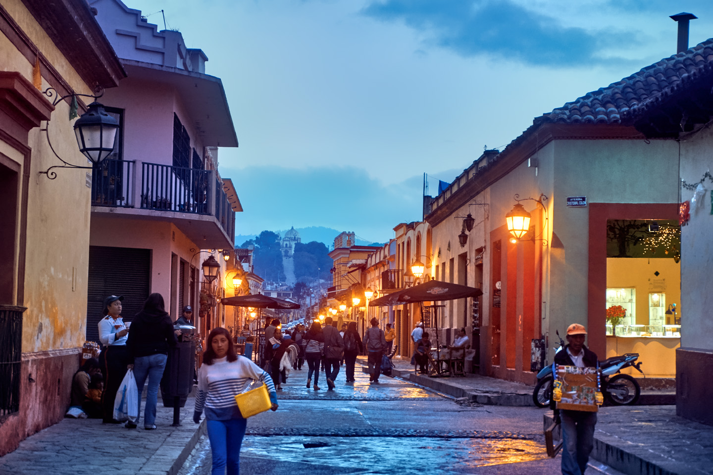
Mexican President Felipe Calderon declared San Cristobal de las Casas to be “Lo mas Magico de los Pueblos Magicos!” (“The most Magical of the Magical Towns!”)

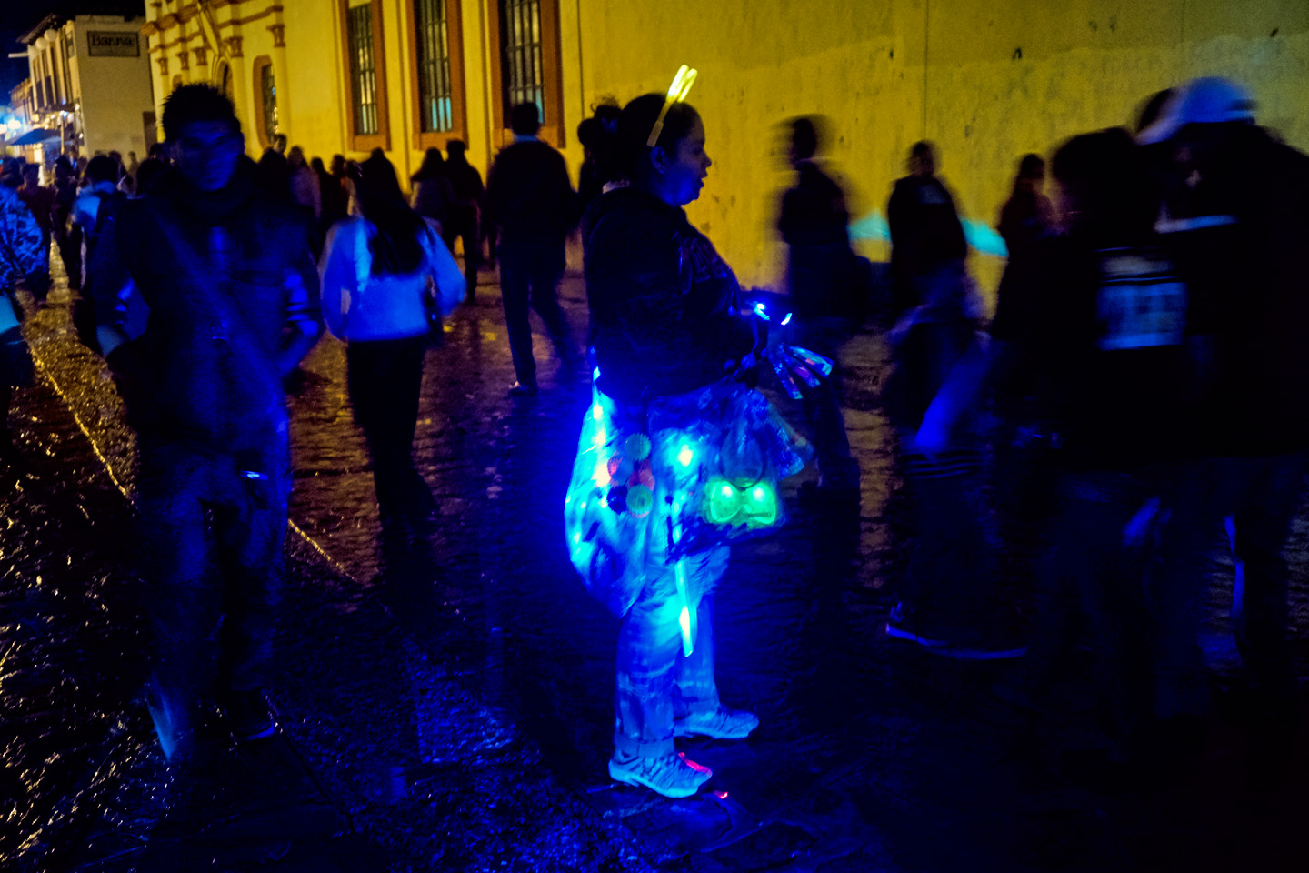
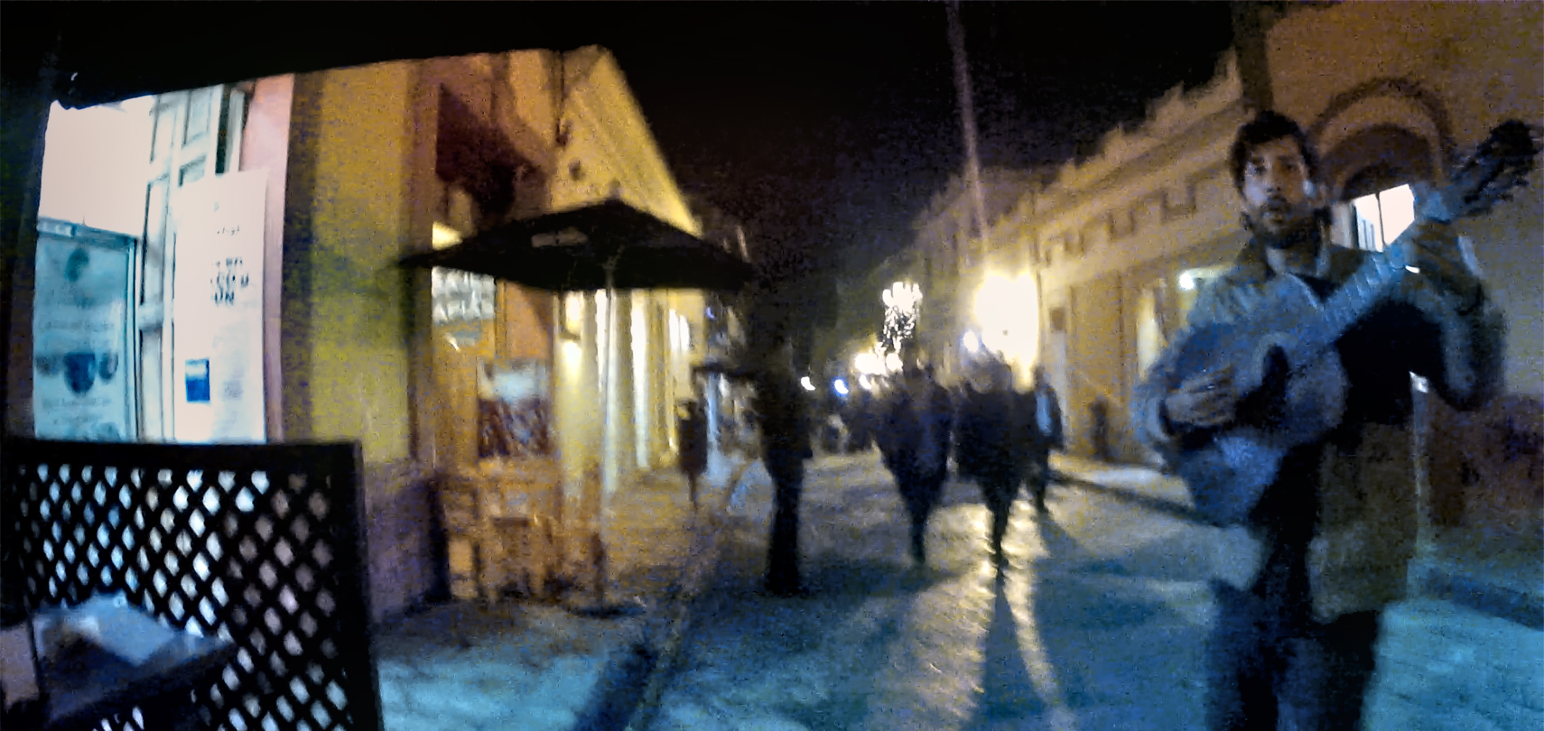
An evening spent in one of Mexico’s Colonial Cities always seems to include some sort of celebration in the main plaza. In San Cristobal de las Casas, they put on a concert, featuring a local orchestra playing both classical and contemporary instrumentals. The conductor was–let’s just say he was enthusiastic, and his musicians, of varying skill levels, did their best to keep up with him. The night was crisp and cool, the crowd respectful, applauding in all the right places. Colored spotlights lit the stage, and photo-luminescent plastic necklaces lit the faces in the audience with a ghostly blue glow.
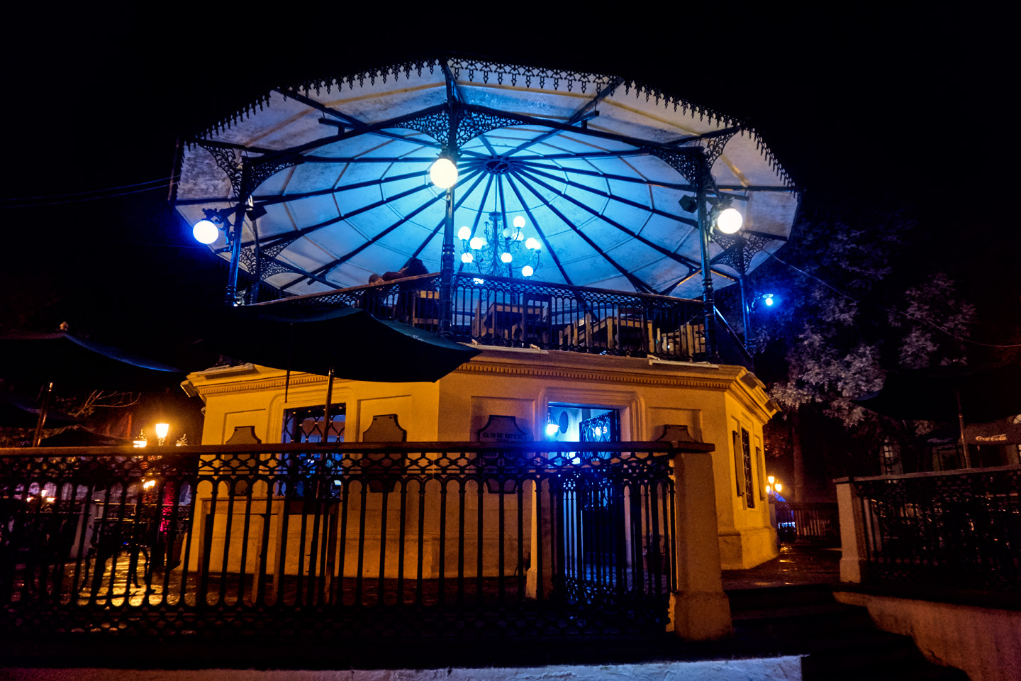
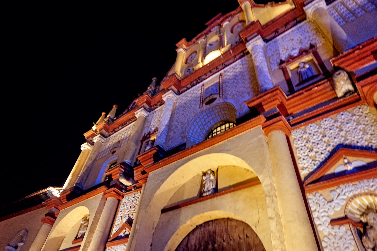
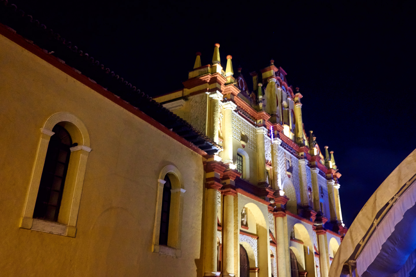
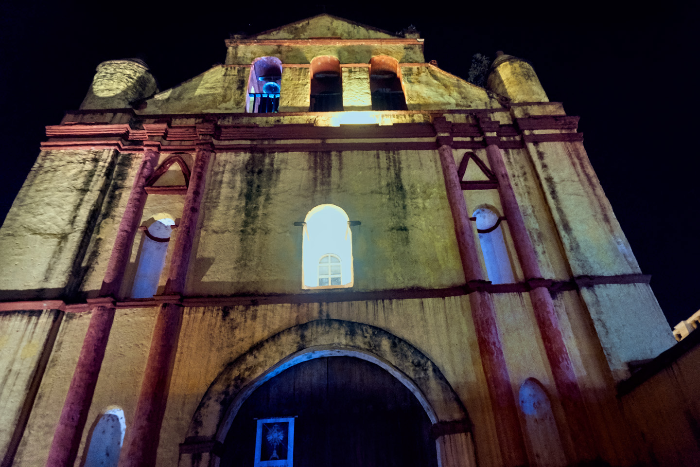
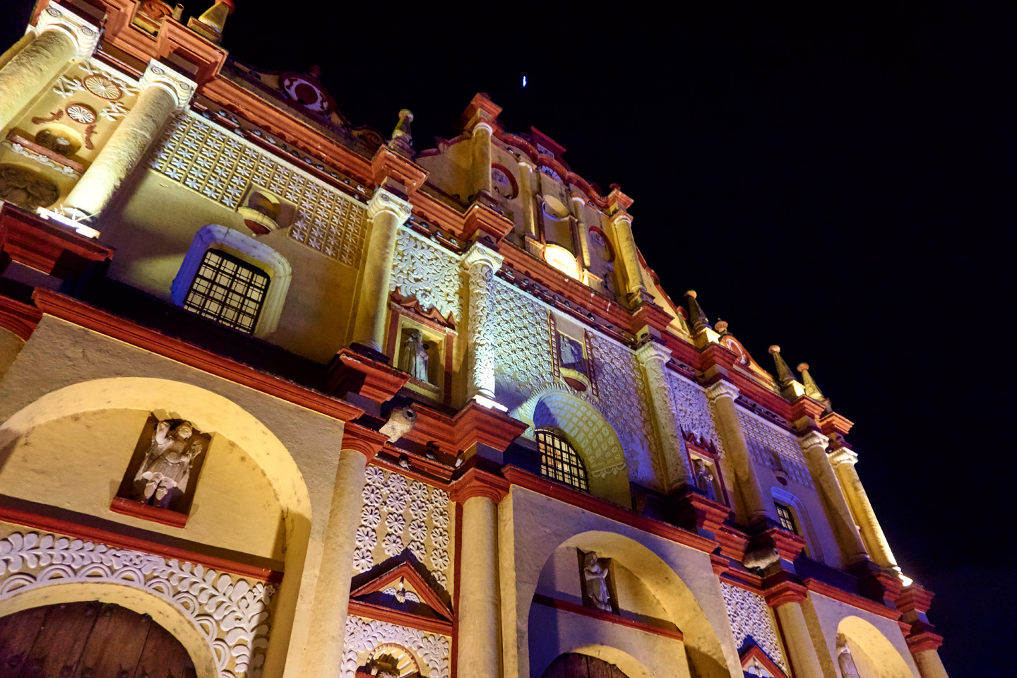
Like every Spanish Colonial City in Mexico, San Cristobal de las Casas has a centuries-old cathedral that fronts on the main plaza, in this case, the Cathedral of San Cristobal Martir. Construction started in 1528, making it one of the oldest churches in Mexico. There’s a simple elegance to the building’s facade, painted pale yellow (and in need of a fresh coat)!
Mike was shooting video with his GoPro camera while we were out for a stroll that evening. I was able to harvest some cool images by freezing the frames and taking screen shots; some examples, below:
And now, something a little different, courtesy of another old friend:
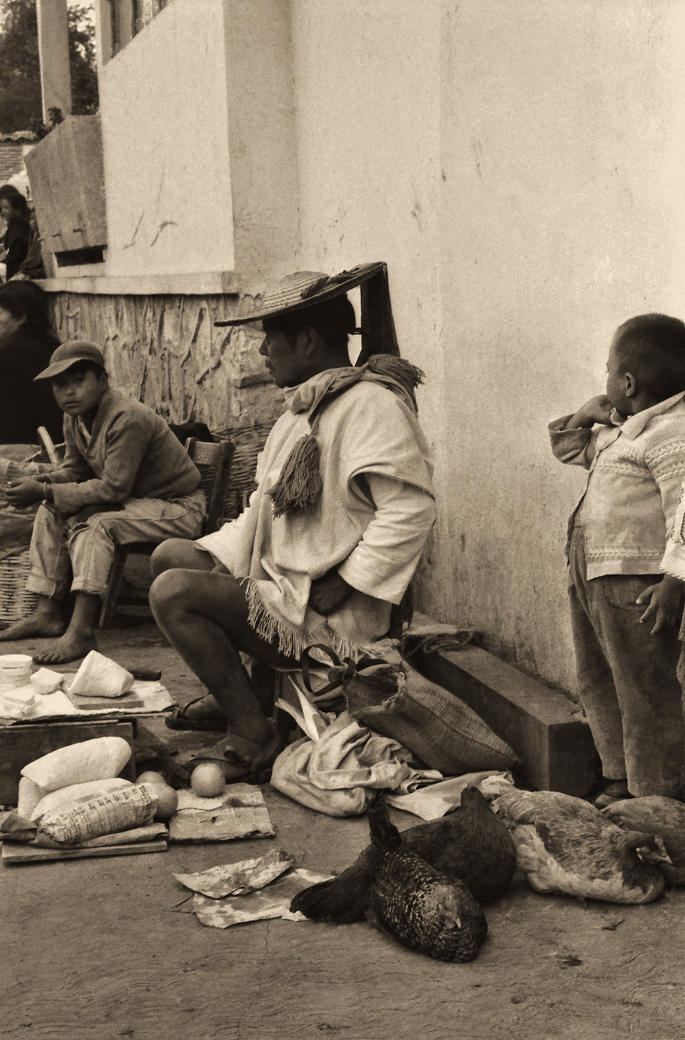
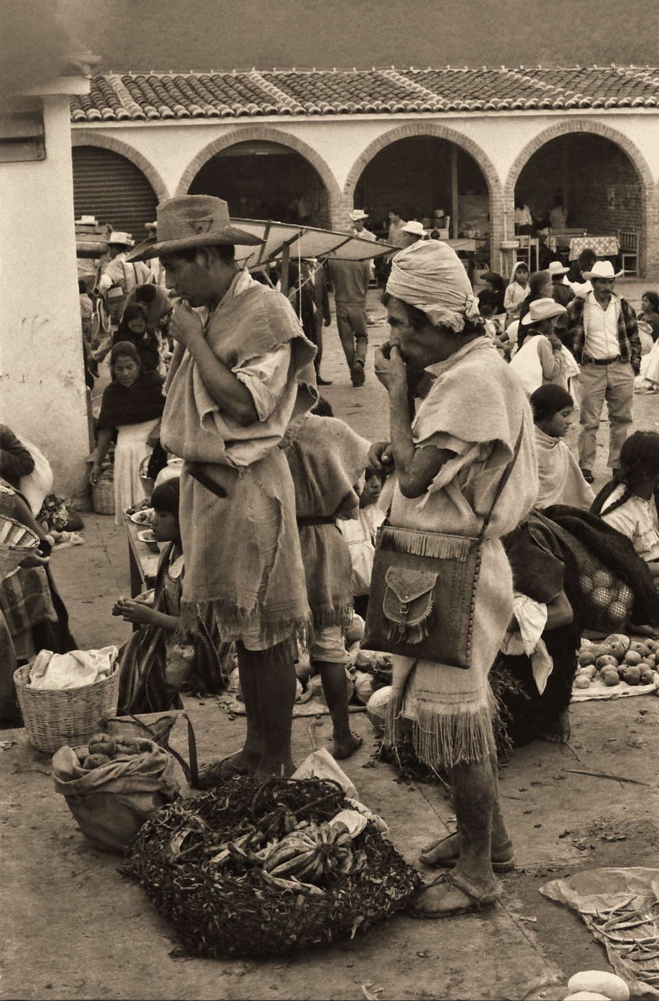
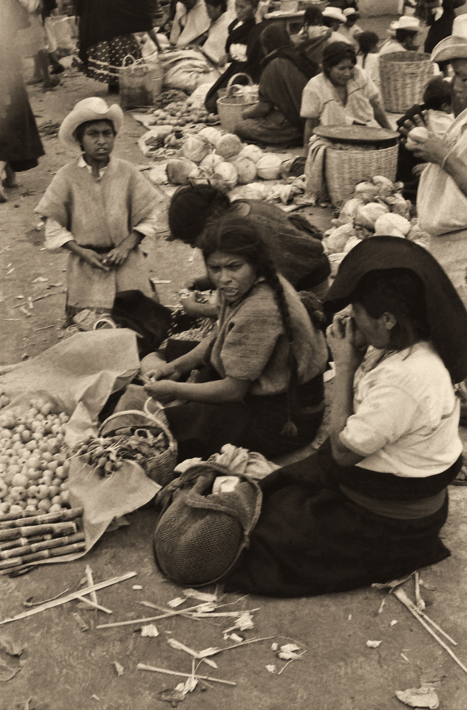
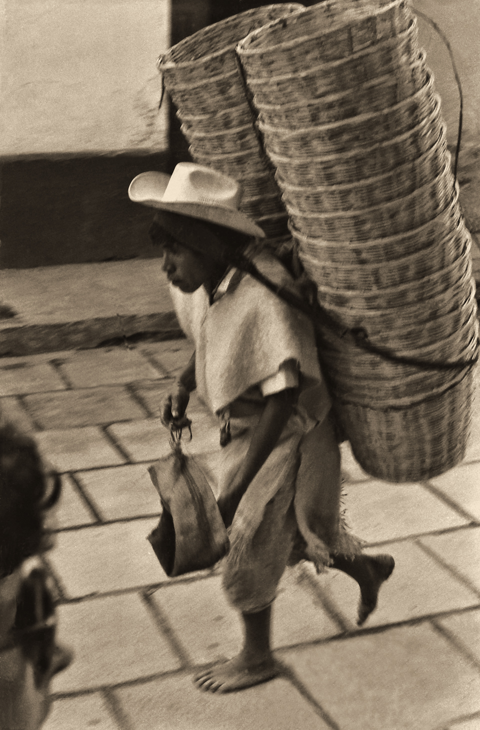
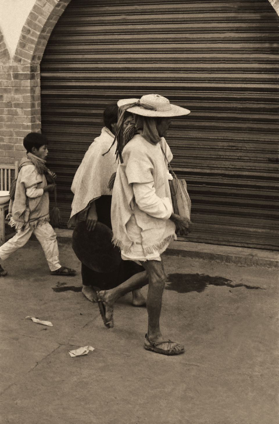
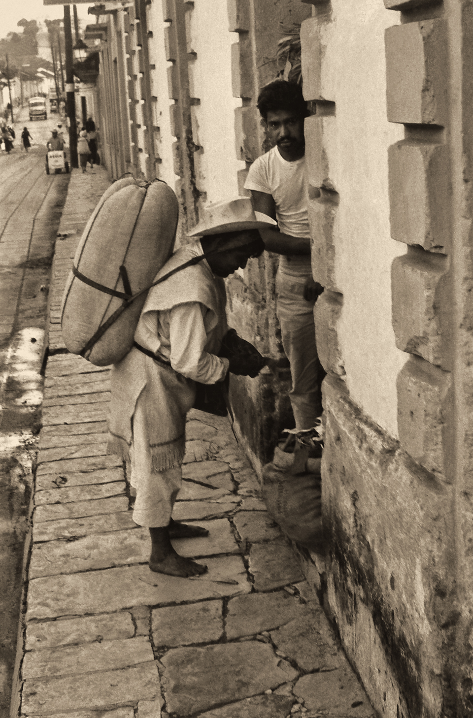
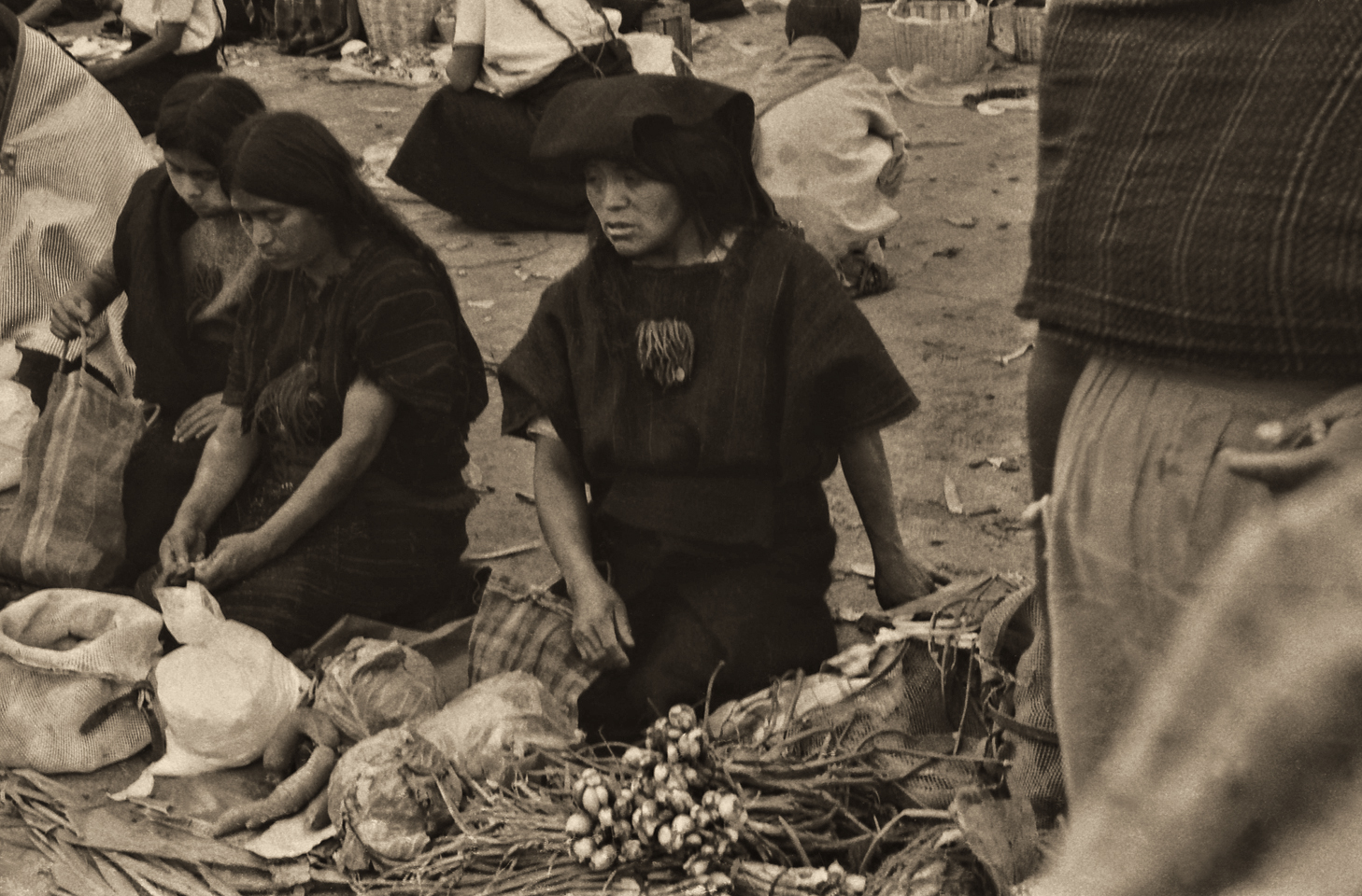
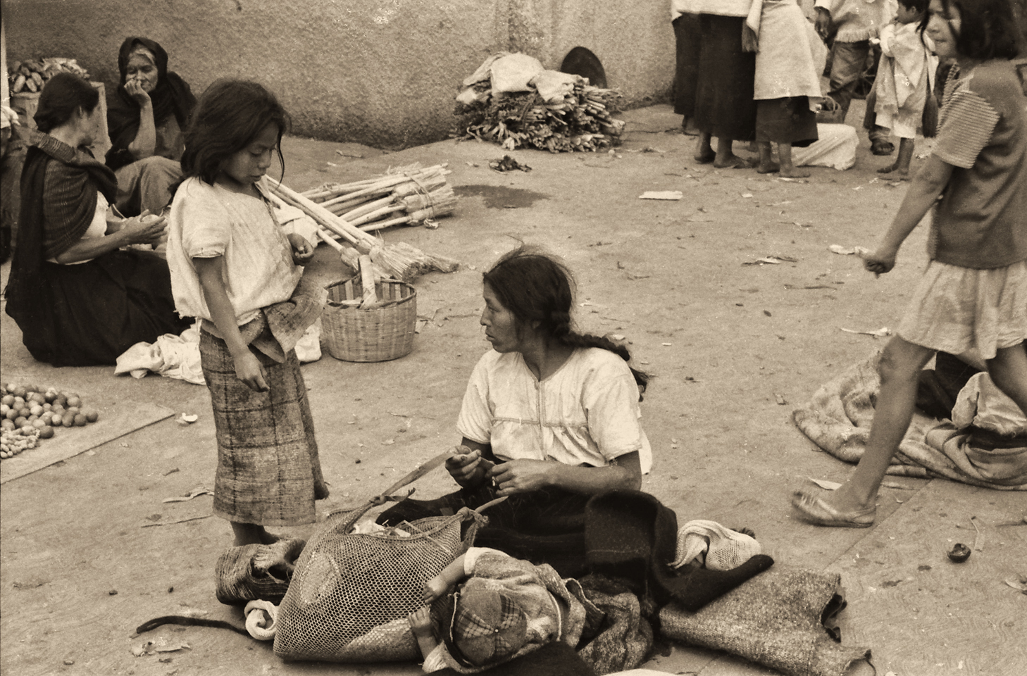
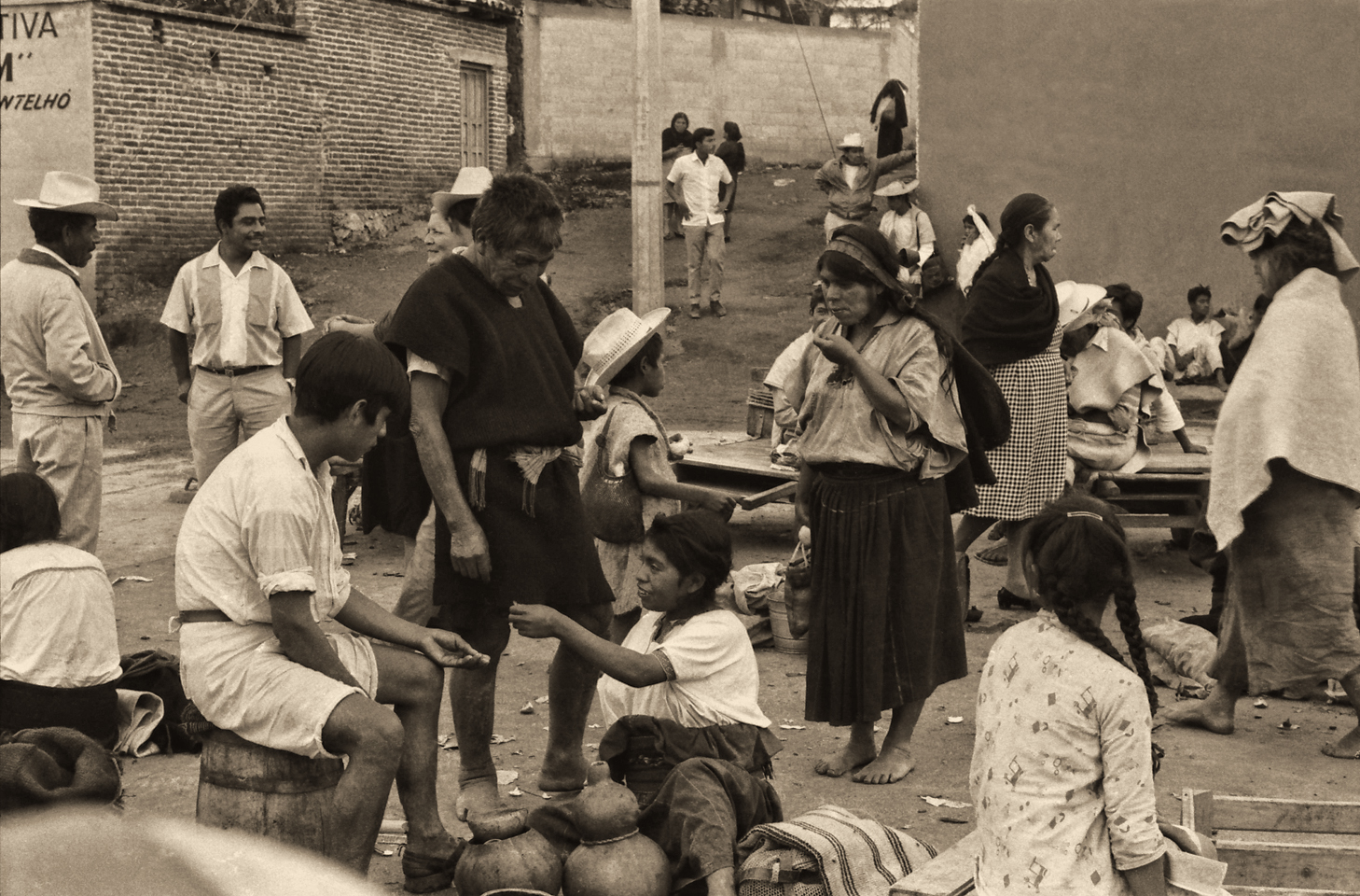
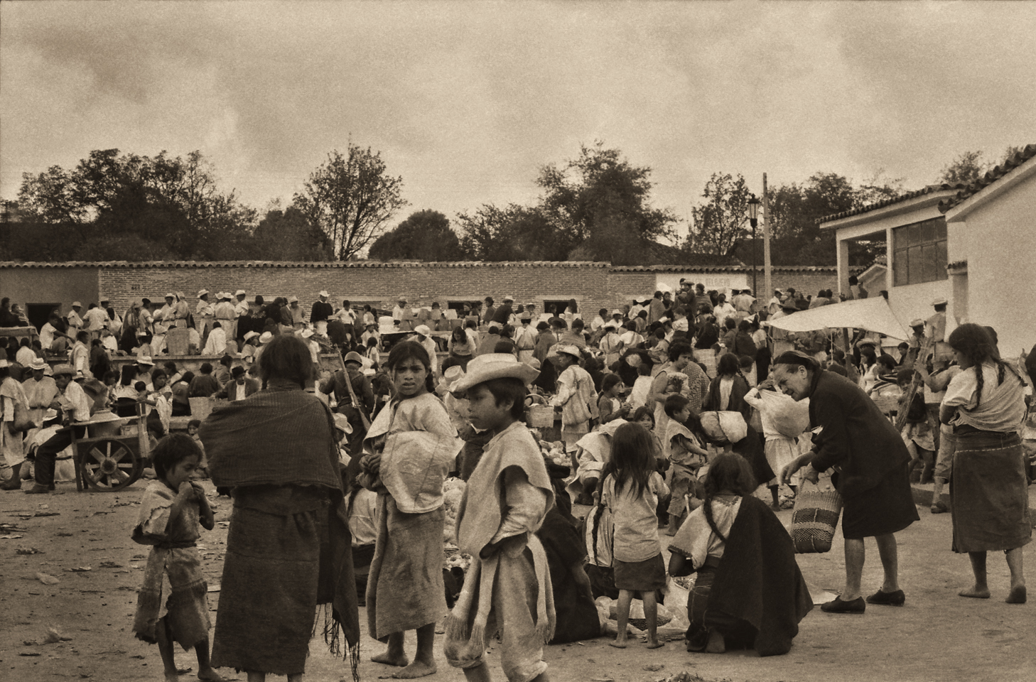
San Cristobal de las Casas in 1971
Original Photographs by Carl Duisberg
My good friend Carl Duisberg has been a world traveler almost as long as I’ve known him, and I’ve known him since we were both kids in school.
I recently helped Carl resurrect two dozen rolls of black and white film from some of his early travels, negatives that had been packed away for half a century and essentially forgotten. No prints were made when the film was processed, all those years ago, so when I scanned and edited the images, I brought wonderful photos to life that had never been seen before.
One of those rolls of film was shot in San Cristobal de las Casas, more than fifty years ago, and Carl has graciously agreed to share them here. Viewing these old photos, it’s apparent how much has changed in what was, at that time, a primarily indigenous community. In 1971, the modern world has barely intruded on this charming Colonial City in the mountains of Chiapas.
(If you’d like to see more of Carl’s work, check out the Historic Photos section of this website.)
CLICK PHOTOS TO EXPAND THE IMAGES TO FULL SCREEN

All in all, we sincerely enjoyed our brief visit to San Cristobal de las Casas. During my years in South America (back in the early 1970’s) I spent quite a lot of time in cities and towns surrounded by tropical mountains much like these, with cool climate, predominantly Indian populations, and Spanish Colonial buildings. Walking those streets felt like deja vu, even though I knew perfectly well I’d never been there before. It was the atmosphere, and the chilly evening, and the scenery, all of it together stirring fond memories dating back many decades.
Tomorrow, we’d push it a bit, as far as Oaxaca, and the next day to Puebla, or possibly Queretaro. From there, it was a short drive to San Miguel de Allende for a three day fiesta focused on the Dia de Los Muertos, the Day of the Dead. That was going to be the icing on the cake of our Mexican Road Trip. But first we had to get there, and it’s a long danged drive from San Cristobal de las Casas to San Miguel de Allende!
Next up: Mexican Road Trip: Cruising the Sierra Madre: From San Cristobal to Oaxaca
The next day, we’d be driving as far as the city of Oaxaca, 380 miles of curves, switchbacks, and rolling hills that would require at least ten hours of our full attention, crossing the Sierra Madre de Chiapas, and entering the rugged, agave studded landscape of the Sierra Madre de Oaxaca. If you’d like to know what that was like, read on!

The collage below features additional photos taken on the road in Mexico by my inestimable shotgun rider, Michael Fritz. Click any image to expand them to full screen:
Unless otherwise noted, all other images are the original work of myself, or that of Michael Fritz. All are protected by copyright.
The photographs on this site may not be duplicated for commercial purposes.
Click any photo to expand the image to full screen

Michael Fritz, “Elmo,” 1949-2025
READ MORE LIKE THIS:
This is an interactive Table of Contents. Click the thumbnails to open the pages.
ON THE ROAD IN MEXICO

MEXICAN ROAD TRIP: HOW TO PLAN AND PREPARE FOR A DRIVE TO THE YUCATAN
The published threat levels are a “full-stop” deal breaker for the average tourist. That’s unfortunate, because Mexican road trips are fantastic! Yes, there are risks, but all you have to do to reduce those risks to to an acceptable level is follow a few simple guidelines.
<<CLICK to Read More!>>

Mexican Road Trip: Heading South, From Laredo to Villahermosa
When it was our turn, soldiers in SWAT gear surrounded my Jeep, and an officer with a machine gun gestured for me to roll down my window. He asked me where we were going. I’d learned my lesson in customs, and knew better than to mention the Yucatan. “We’re going to Monterrey,” I said, without elaborating.
He checked our ID’s and our travel documents, then handed them back. “Don’t stop along the way,” he advised. “You need to get off this road and to a safe place as quickly as you can!”
<<CLICK to Read More!>>

Mexican Road Trip: Zapatista Road Blocks in Chiapas
“Good morning,” I said. “We’re driving to Palenque. Will you allow us to pass?”
The leader of the group, a young Mayan lad, walked up beside my Jeep, and fixed me with a menacing glare. “The road is closed,” he said, keeping his hand on the hilt of his machete. “By order of the Ejército Zapatista de Liberación Nacional!”
“Is it closed to everyone?” I asked innocently. “How about if we pay a toll? How much would the toll be?”
He gave me an even more menacing glare. “That will cost you everything you’ve got,” he said gruffly, brandishing his machete, while his companions did the same.
<<CLICK to Read More!>>

Mexican Road Trip: Mayan Ruins and Waterfalls in the Lacandon Jungle
The next morning, we were waiting at the entrance to the Archaeological Park a half hour before they opened for the day. We were the only ones there, so they let us through early, and I had the glorious privelege of photographing that wonderful ruin in the golden light of early morning, without a single fellow tourist cluttering my view.
<<CLICK to Read More!>>

Mexican Road Trip: Merida and the Meridanos
Merida is the largest city in southern Mexico, with a population of almost a million. Statistically, Yucatan is the safest of Mexico’s states, and Merida is widely considered the safest of all Mexico’s cities.
<<CLICK to Read More!>>


Mexican Road Trip: Cancún, Tulum, and the Riviera Maya
The millions of tourists who fly directly to Cancún from the U.S. or Canada are seeing the place out of context. They can’t possibly appreciate the fact that they’re 2,000 miles south of the border; a whole country, a whole culture, a whole history away from the U.S.A. Just looking around, on the surface? The second largest city in southern Mexico could easily pass for a beach town in Florida.
<<CLICK to Read More!>>

Mexican Road Trip: Circling the Yucatan, from Quintana Roo to Campeche
The Castillo at Muyil isn't huge, as Mayan pyramids go, topping out at just over 50 feet, but it’s definitely imposing. Try to imagine: the equivalent of a five story building, with a three story grand staircase, just appearing, out in the middle of nowhere? Boo-yah!
<<CLICK to Read More!>>

Mexican Road Trip: Edzná, and Campeche, Where They Dance La Guaranducha
La Guaranducha, a traditional dance from Campeche, is a celebration of life, community, and the joy of existence. On stage, there was a group of young men and women in traditional dress, but it was clear that the guys were little more than props, because all eyes were on the girls. So colorful, and so elegant, hiding coyly behind their pleated, folding hand fans.

Mexican Road Trip: Adventures Along the Puuc Route
All of these communities in the Puuc region were allied, politically, culturally, economically, and socially. The Puuc was the cradle of the Golden Age of the Maya. Labna and Sayil were among the brightest jewels in the crown of a realm that never quite coalesced into an empire.
<<CLICK to Read More!>>

Mexican Road Trip: The Road to Bonampak
Rainwater seeping through the limestone walls of the temple soaked the Bonampak Murals with a mineral-rich solution that, each time it dried, left behind a sheen of translucent calcite. The built-up coating protected the paintings for more than 1200 years. As a result, we're left with the finest examples of ancient art from the Americas to have survived into our modern era.

Mexican Road Trip: Crossing the Chiapas Highlands, to San Cristobal de las Casas
MX 199 crosses the Chiapas Highlands from Palenque to San Cristobal de las Casas. The distance is only 132 miles, but it's 132 miles of curvy mountain roads with switchbacks, steep grades, slow trucks, and villages chock-a-block with topes and bloqueos, unofficial road blocks. Everything I read, and everything I heard, described the drive as alternatively spectacular, dangerous, and fascinating, in seemingly equal measure.
Mexican Road Trip: Cruising the Sierra Madre, from San Cristobal to Oaxaca
Today, we’d be driving as far as the city of Oaxaca, 380 miles of curves, switchbacks, and rolling hills that would require at least ten hours of our full attention, crossing the Sierra Madre de Chiapas, and entering the rugged, agave-studded landscape of the Sierra Madre de Oaxaca. If you’d like to know what that was like, read on!

Mexican Road Trip: Flashing Lights in the Rear View: Officer Plata and La Mordida
As we drove away from the toll plaza, a State Police car that had been parked off to one side made a fast U-Turn and started following me. A moment later, he turned on his flashers and gave me a short blast on his siren, motioning for me to pull over. Two uniformed policemen got out, and approached me on the driver's side. One of them hung back, apparently checking out my license plate before making a phone call.
I wasn't sure if I was being stopped for some infraction, or if these guys were just fishing...

Mexican Road Trip: Three Days of the Dead in San Miguel de Allende
By mid-afternoon, the Jardin was beginning to fill with people. Painted faces were literally everywhere! It was like a costume party, but the venue wasn’t some hall or other indoor space, it was the whole entire town! Mike and I were definitely getting into the spirit of the thing–but we still drew the line at the notion of painting our beards...
Mexican Road Trip: Back to the Border: San Miguel de Allende to Eagle Pass
Saltillo was our crossroads: if we turned east here, we’d be retracing our previous route to the border at Nuevo Laredo--along the Highway of Death! This time, we knew better, so we turned north, toward Monclova, and Piedras Negras.


Southern Colonials: Merida, Campeche, and San Cristobal
Visiting the Spanish Colonial cities of Mexico is almost like traveling back in time. Narrow cobblestone streets wind between buildings, facades, and stately old mansions that date back three hundred years or more, along with beautiful plazas, parks, and soaring cathedrals, all of similar vintage.
<<CLICK to Read More!>>

San Miguel de Allende, Mexico's Colonial Gem
If you include the chilangos, (escapees from Mexico City), close to 20% of the population of San Miguel de Allende is from somewhere else, a figure that includes several thousand American retirees.
<<CLICK to Read More!>>

Day of the Dead in San Miguel de Allende
In San Miguel de Allende, they've adopted a variation on the American version of Halloween and made it a part of their Day of the Dead celebration. Costumed children circle the square seeking candy hand-outs from the crowd of onlookers. It's a wonderful, colorful parade that's all about the treats, with no tricks!
<<CLICK to Read More!>>
DIA DE LOS MUERTOS: A GALLERY OF PHOTOGRAPHS


IN THE LAND OF THE MAYA

Palenque: Mayan City in the Hills of Chiapas
Palenque! Just hearing the name conjures images of crumbling limestone pyramids rising up out of the jungle, of palaces and temples cloaked in mist, ornate stone carvings, colorful parrots and toucans flitting from tree to tree in the dense forest that constantly encroaches, threatening to swallow the place whole.
<<CLICK to Read More!>>

Uxmal: Architectural Perfection in the Land of the Maya
The Pyramid of the Magician is one of the most impressive monuments I've ever seen. There's a powerful energy in that spot--maybe something to do with all the blood that was spilled on the altars of human sacrifice at the top of those impossibly steep steps--but more than any building or other structure at any ancient ruin I've ever visited, more than any demonic ancient sculpture I've ever seen, that pyramid at Uxmal quite frankly scared the hell out of me!
<<CLICK to Read More!>>

The Mayan City of Edzná: First House of the Itzás
The Mayan Edzná is nothing less than epic, lyrical poetry, an extraordinary sonnet comprised of temples and palaces carved in stone that have stood, in regal grandeur, for more than a thousand years.
<<CLICK to Read More!>>

Photographer's Assignment: Chichén Itzá
To get the best photos, arrive at the park before it opens at 8 AM. There will only be a handful of other visitors, and you’ll have the place practically all to yourself for as much as two hours! Take your time composing your perfect shot.There won’t be a single selfie stick in sight.
<<CLICK to Read More!>>

Chichén Itzá: Requiem for the Feathered Serpent
The feathered serpent with the unquenchable thirst for blood may be gone now, or at least fallen out of favor, but as long as the ruins of this ancient city remain standing, he won’t be forgotten.
<<CLICK to Read More!>>

Tulum: The City that Greets the Dawn
Tulum is not all that large, as Mayan sites go, but its spectacular location, right on the east coast of the Yucatan Peninsula, makes it one of the best known, and definitely one of the most picturesque.
<<CLICK to Read More!>>

Cobá and Muyil: Mayan Cities in Quintana Roo
Cobá was a trading hub, positioned at the nexus of a network of raised stone and plaster causeways known as the sacbeob, the white roads, some of which extended for as much as 100 kilometers, connecting far-flung Mayan communities and helping to cement the influence of this powerful city.
<<CLICK to Read More!>>

Becan and Chicanná: Mayan Cities in the Rio Bec Style
Much about the Rio Bec architectural style was based on illusion: common elements include staircases that go nowhere and serve no function, false doorways into alcoves that end in blank walls, and buildings that appear to be temples, but are actually solid structures with no interior space.
<<CLICK to Read More!>>

The Puuc Hills: Apex of Mayan Architecture
The Puuc style was a whole new way of building. The craftsmanship was unsurpassed, and some of the monumental structures created in this period, most notably the Governor’s Palace at Uxmal, rank among the greatest architectural achievements of all time.
<<CLICK to Read More!>>

The Amazing Mayan Murals of Bonampak
Out of that handful of Mayan sites where mural paintings have survived, there is one in particular that stands head and shoulders above the rest. One very special place. Down by the Guatemalan border, in a remote corner of the Mexican State of Chiapas: a small Mayan ruin known as Bonampak.
<<CLICK to Read More!>>
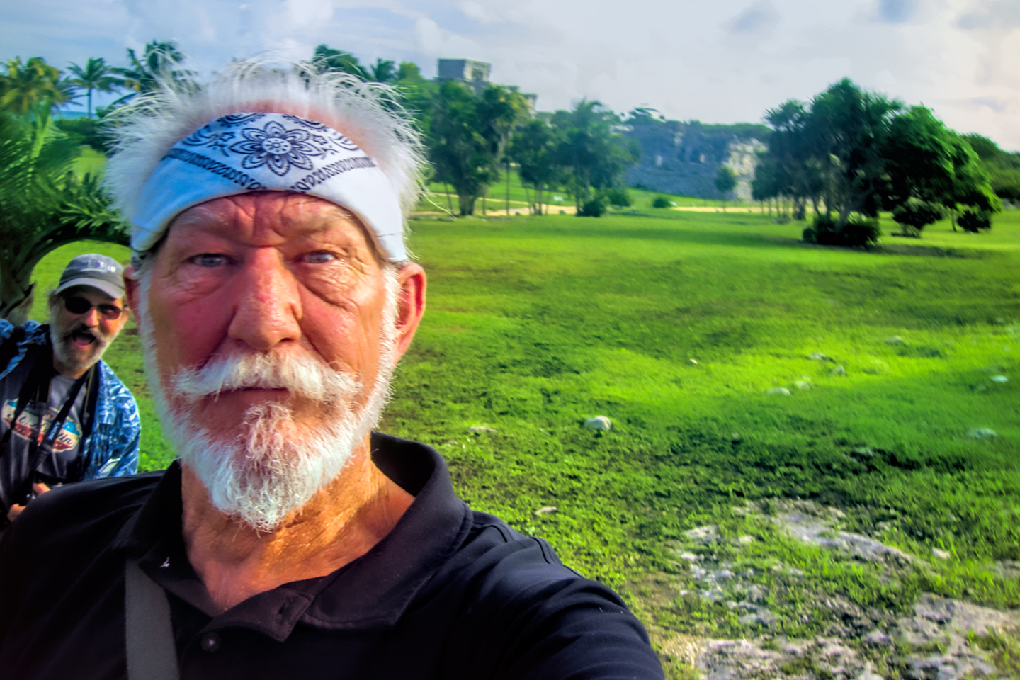
This series of posts is dedicated to my old friend Mike Fritz (aka Mr. Whiskers), my shotgun rider on my Mexican Road Trip. "Drive to the Yucatan and See Mayan Ruins" was at the top of my post-retirement bucket list, right after "Drive the Alaska Highway and see Denali." We checked off the whole Yucatan thing in a major way, and Mike was a heck of a good sport about it.
Michael passed away in February of 2025, after 75 years of a life well-lived. He was unique, and he'll be missed.

Michael Fritz ("Elmo") 1949-2025

There's nothing like a good road trip. Whether you're flying solo or with your family, on a motorcycle or in an RV, across your state or across the country, the important thing is that you're out there, away from your town, your work, your routine, meeting new people, seeing new sights, building the best kind of memories while living your life to the fullest.
Are you a veteran road tripper who loves grand vistas, or someone who's never done it, but would love to give it a try? Either way, you should consider making the Southwestern U.S. the scene of your own next adventure.
A few years ago I wrote a book about road trips in Arizona and New Mexico that's a lot like this website, packed with interesting information, and illustrated with beautiful photographs. Check it out! You can find it on Amazon, and at all other major booksellers.

ALASKA ROAD TRIP:
MEXICAN ROAD TRIP (IN THE LAND OF THE MAYA):
ARIZONA AND NEW MEXICO:
SOUTH AMERICA:
PHOTOGRAPHY:
TRIBAL LANDS:


Recent Comments