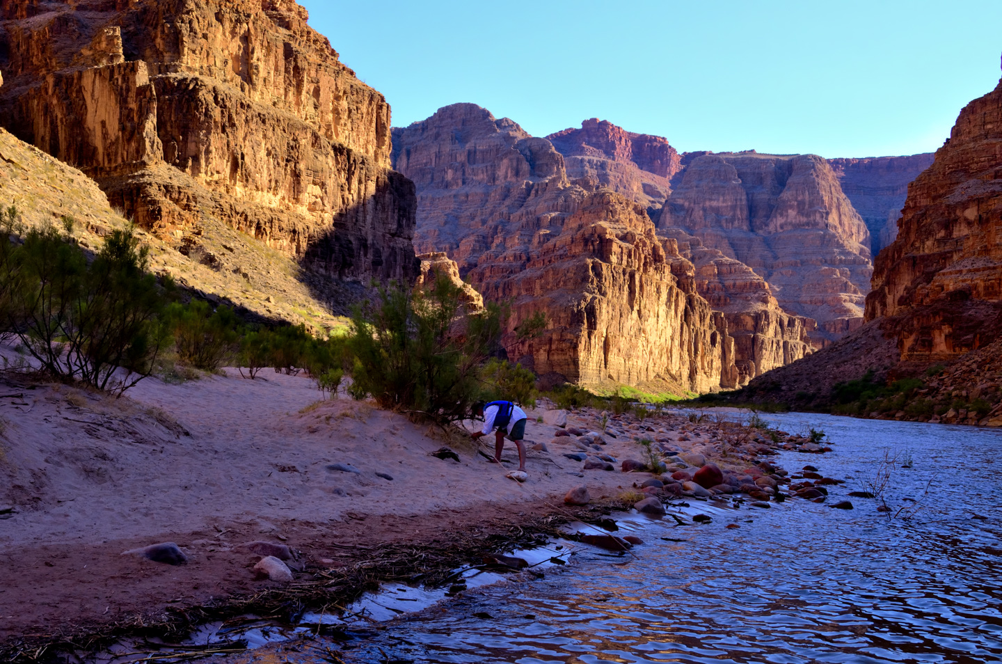
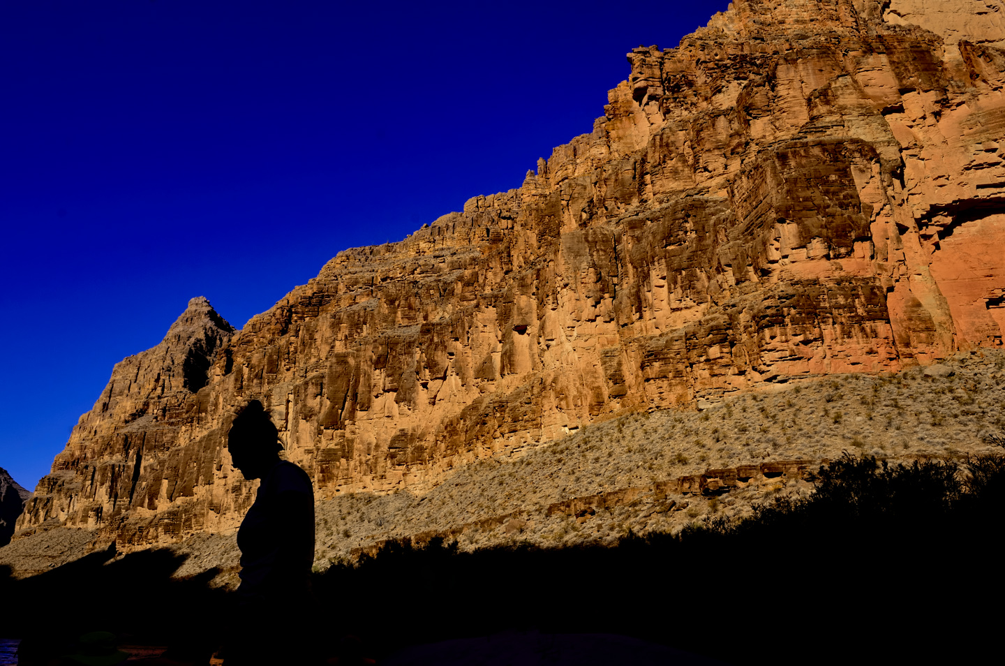
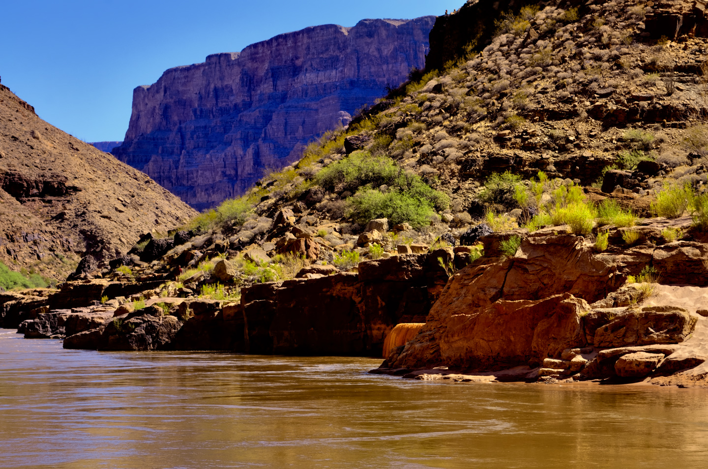
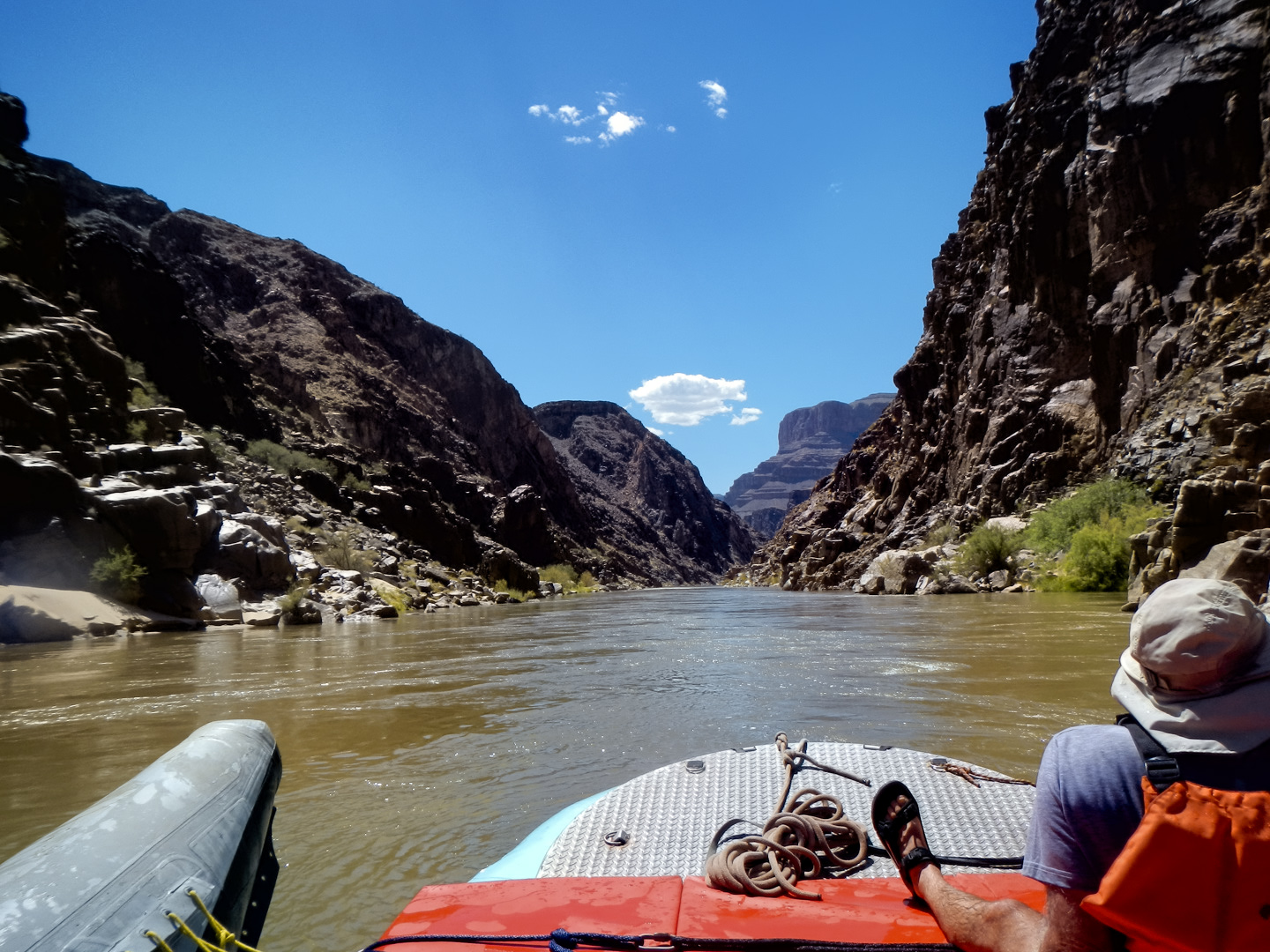
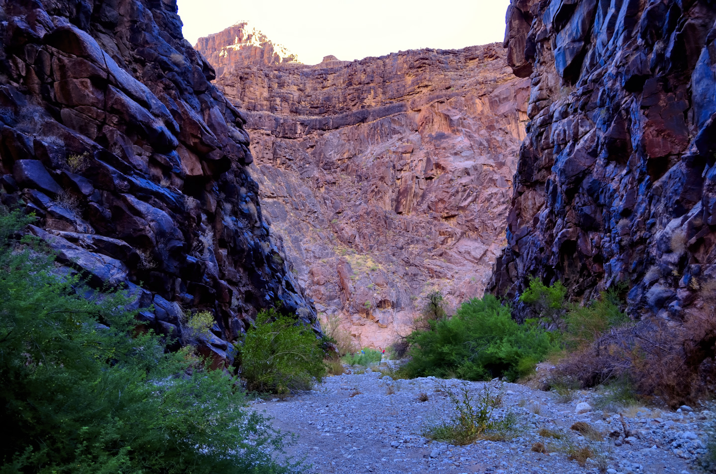
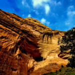
Day Seven! COFFEE! And another beautiful morning in the Grand Canyon. Our camp site was a narrow, rock-strewn beach that was in deep shadow when we arrived the previous evening, and it was in deep shadow still, so the air was chilly, relatively speaking, and our immediate surroundings were a bit dreary. 200 yards downstream was a different story altogether: the massive angular cliff that marked the first bend in the river was positively glowing, reflecting the bright light of the rising sun.
This day started out a bit differently. We had our breakfast, broke down the camp, loaded the rafts, and climbed aboard. But instead of firing up the outboard and motoring away downriver, John pulled out a well-worn copy of Desert Solitaire, a book by the late Edward Abbey, author, environmentalist, and champion of the sanctity of the desert. Ed Abbey considers cities like my home town of Phoenix an abomination, and he venerates the purity of wilderness. John read several passages from the book, read to us for at least half an hour, and we all listened with rapt attention.


The text John read to us was perfect for the setting, and after our experiences over the last few days, we all had a new found appreciation for the sentiments expressed.
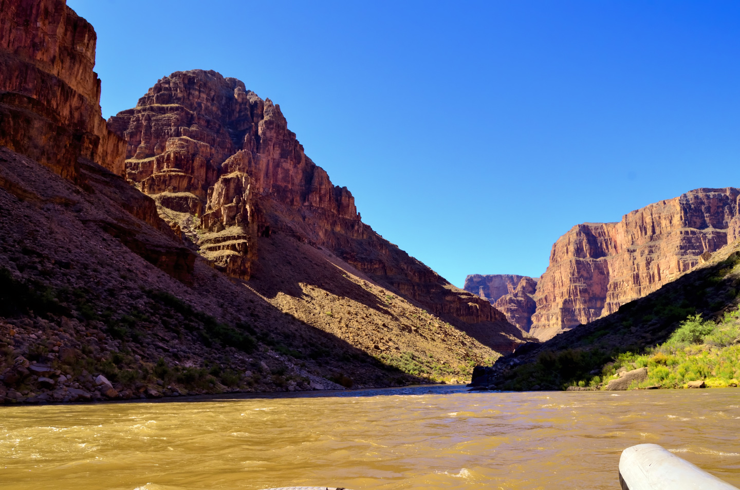
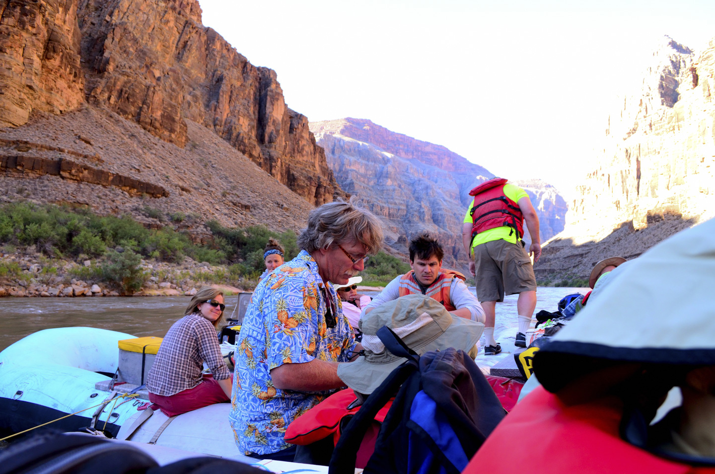
John’s assistant (the other John) pulled up the anchor that tied us to the beach, and we took off downstream. This was going to be a long day, in terms of the miles covered, with more than a few rapids, and some interesting stops. This was our last full day on the river, and it promised to be a good one.
Click Photos to expand the images to full screen
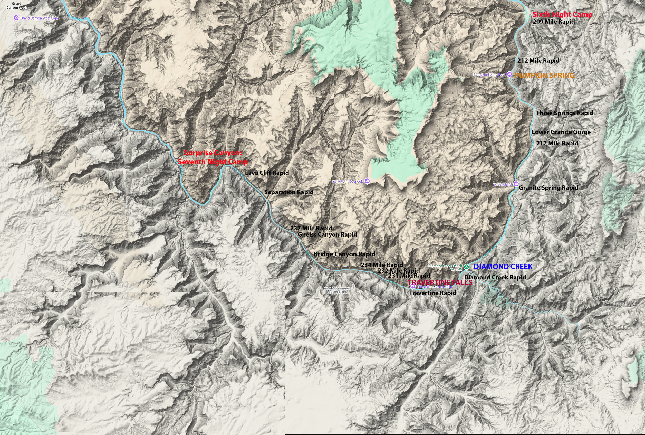
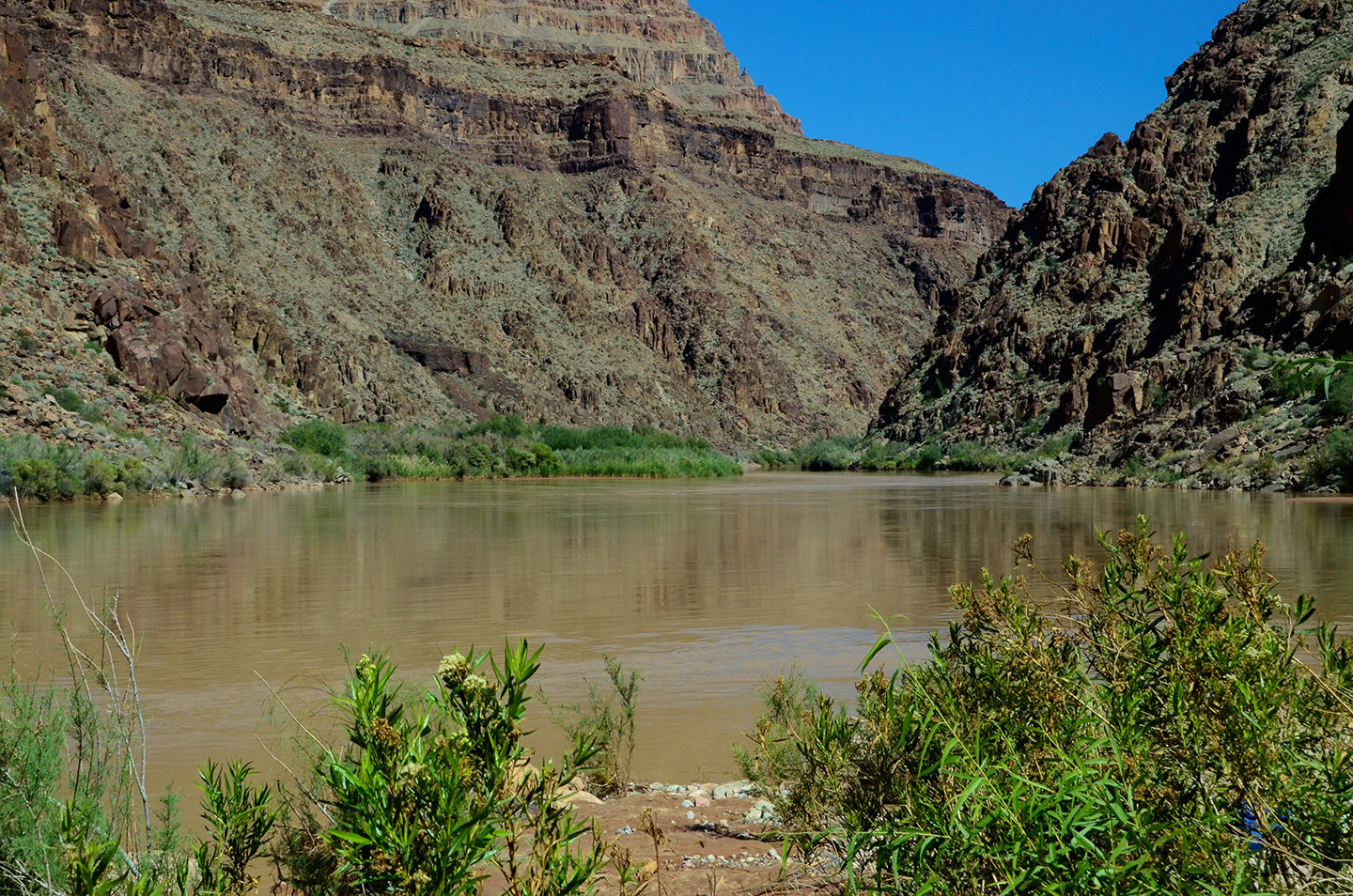
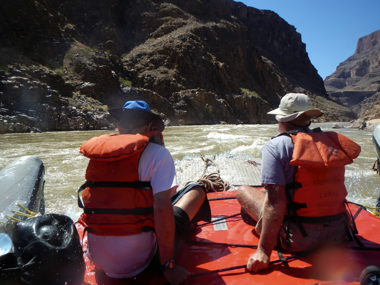
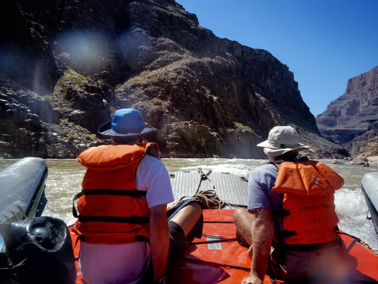
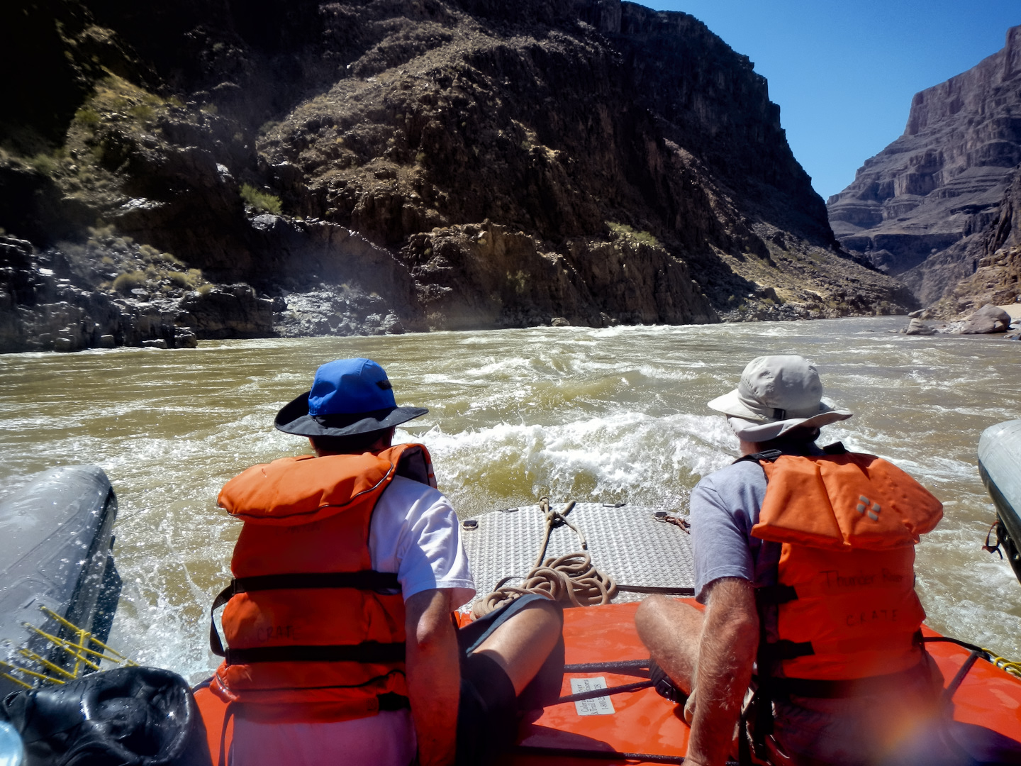
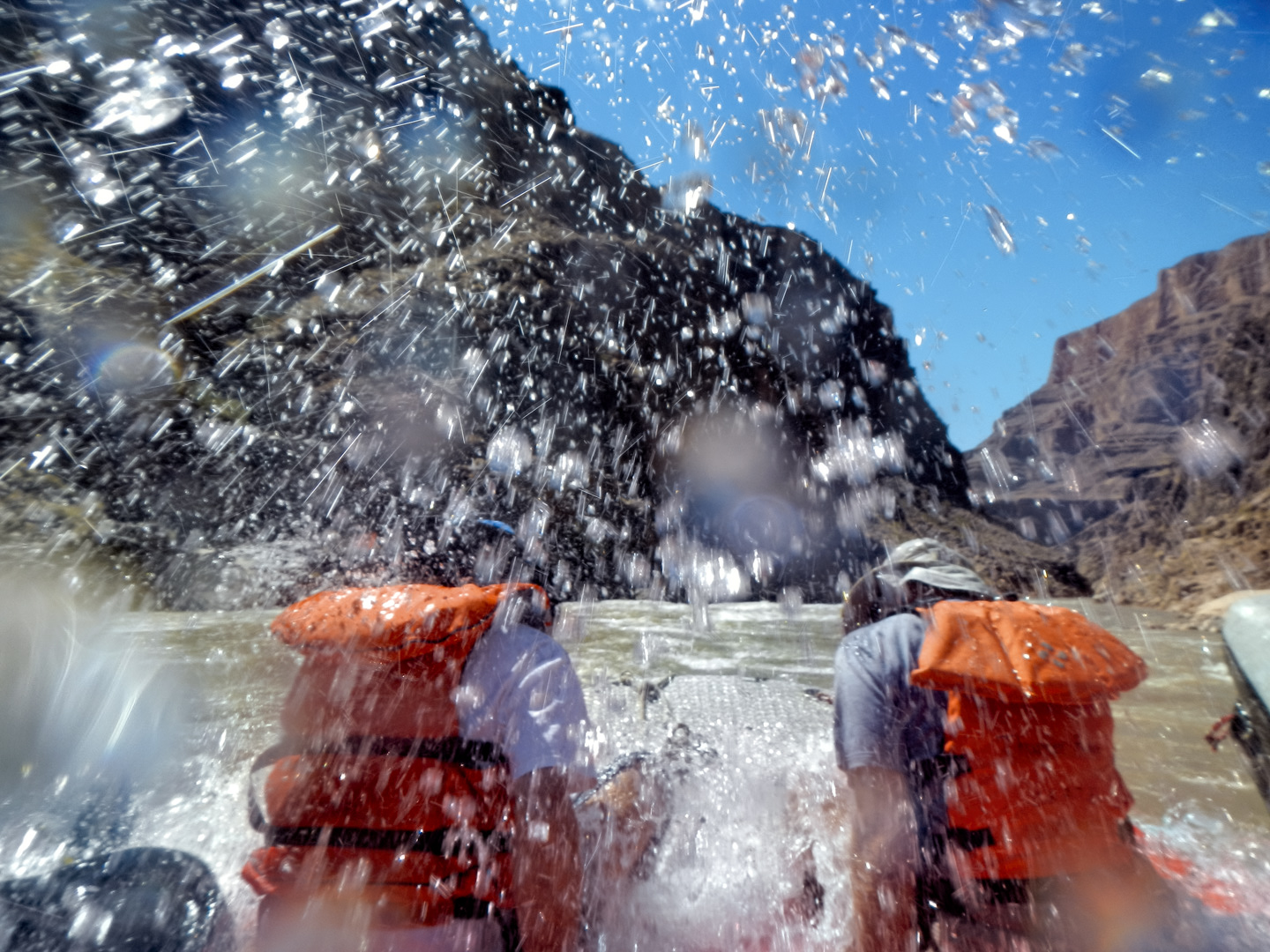
Day Seven on the River, from Pumpkin Springs to Surprise Canyon
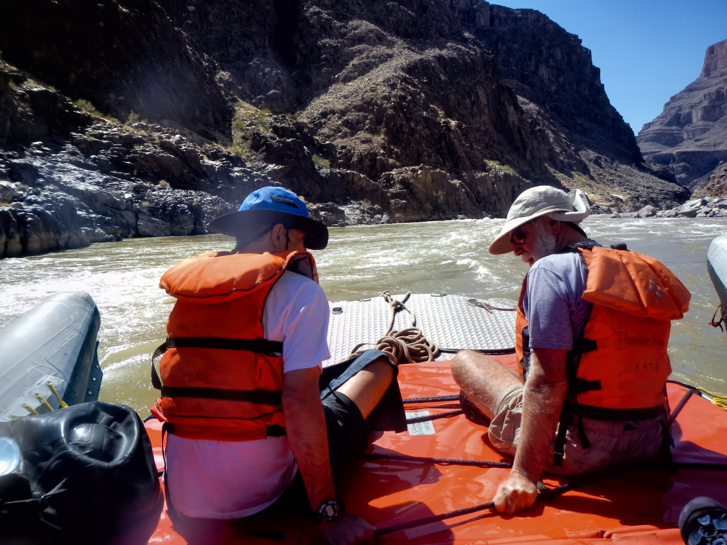
Our first order of business, once we got moving, was 209 Mile Rapid, not all that rough, but longish, with an 8 foot drop. Next came 212 Mile Rapid (also known as the Little Bastard), and a mile or so beyond that:
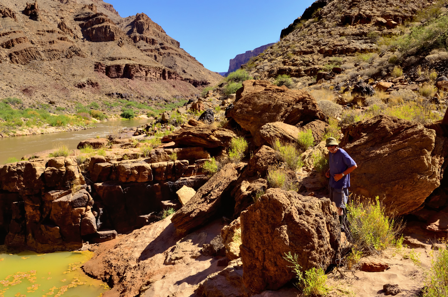
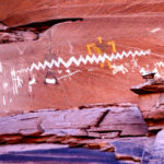
PUMPKIN SPRINGS!
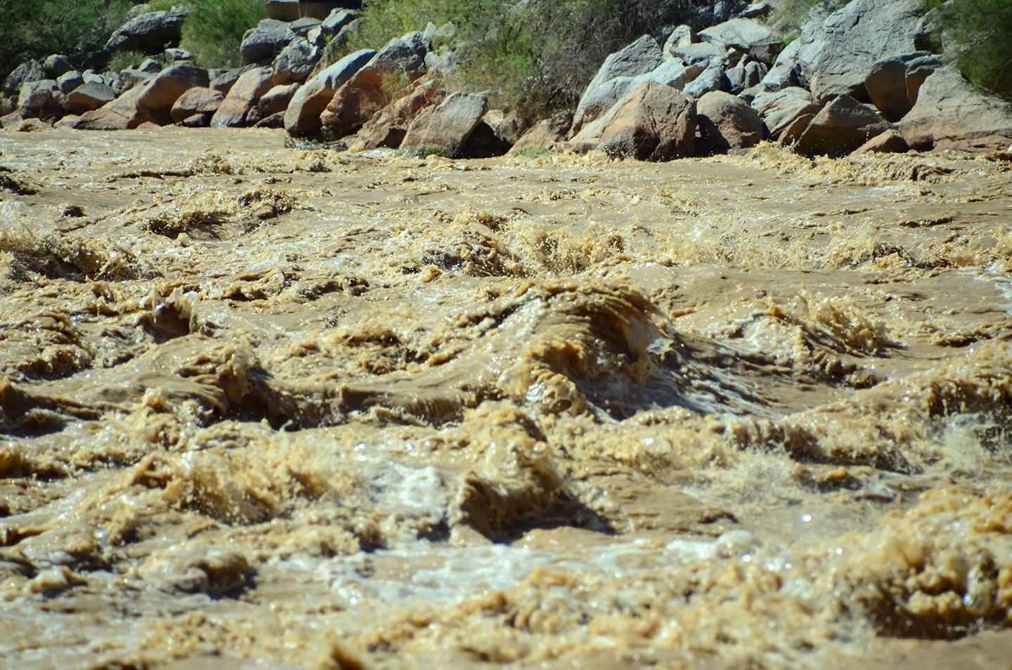
The spring got its name from its appearance: the spring water fills a travertine bowl that’s attached to the rock along the bank. The bowl is marked by vertical sections, and the whole business is stained orange by chemicals in the water. When you approach from the river, it looks just like a pumpkin. (See photo, above). The rafts pullled over to the bank and we all climbed off for a closer look. I have to tell you, Pumpkin Springs is not one of those natural springs that invites you to jump in for a soak. The water is a sick, greenish color, and there are floating mats of clotted chemicals, brown in color, looking for all the world like a pond full of raw sewage.
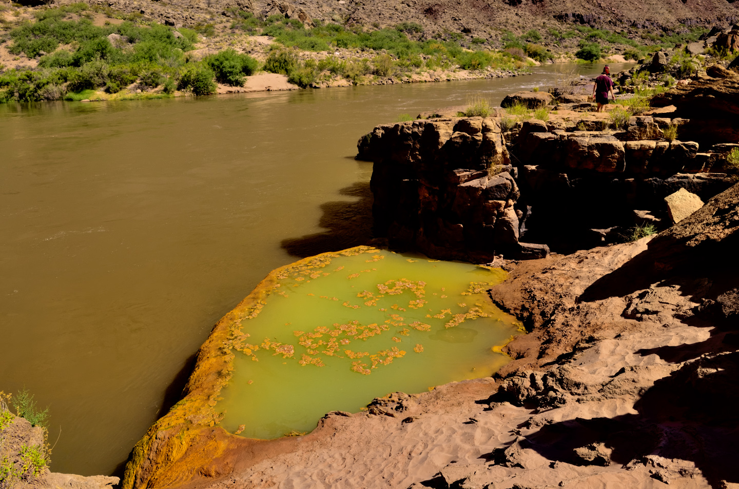
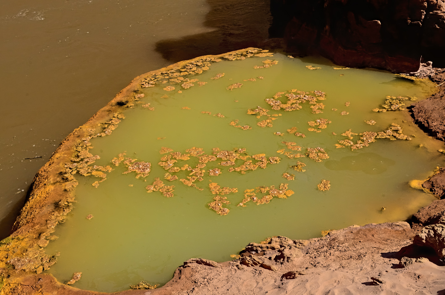
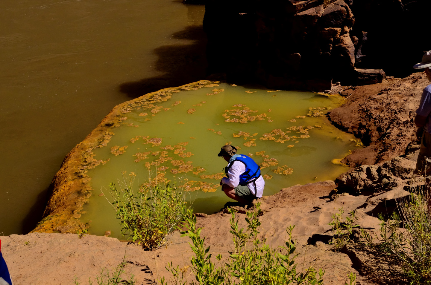
If you think that sounds awful, it gets worse: the water in this spring is chock-full of arsenic, around 1100 ppm. Anything above 50 ppm is considered toxic, meaning the water in Pumpkin Springs is a deadly poison.
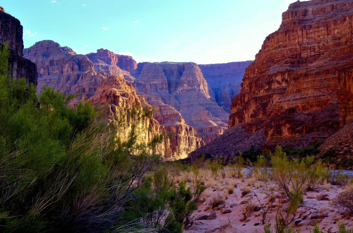
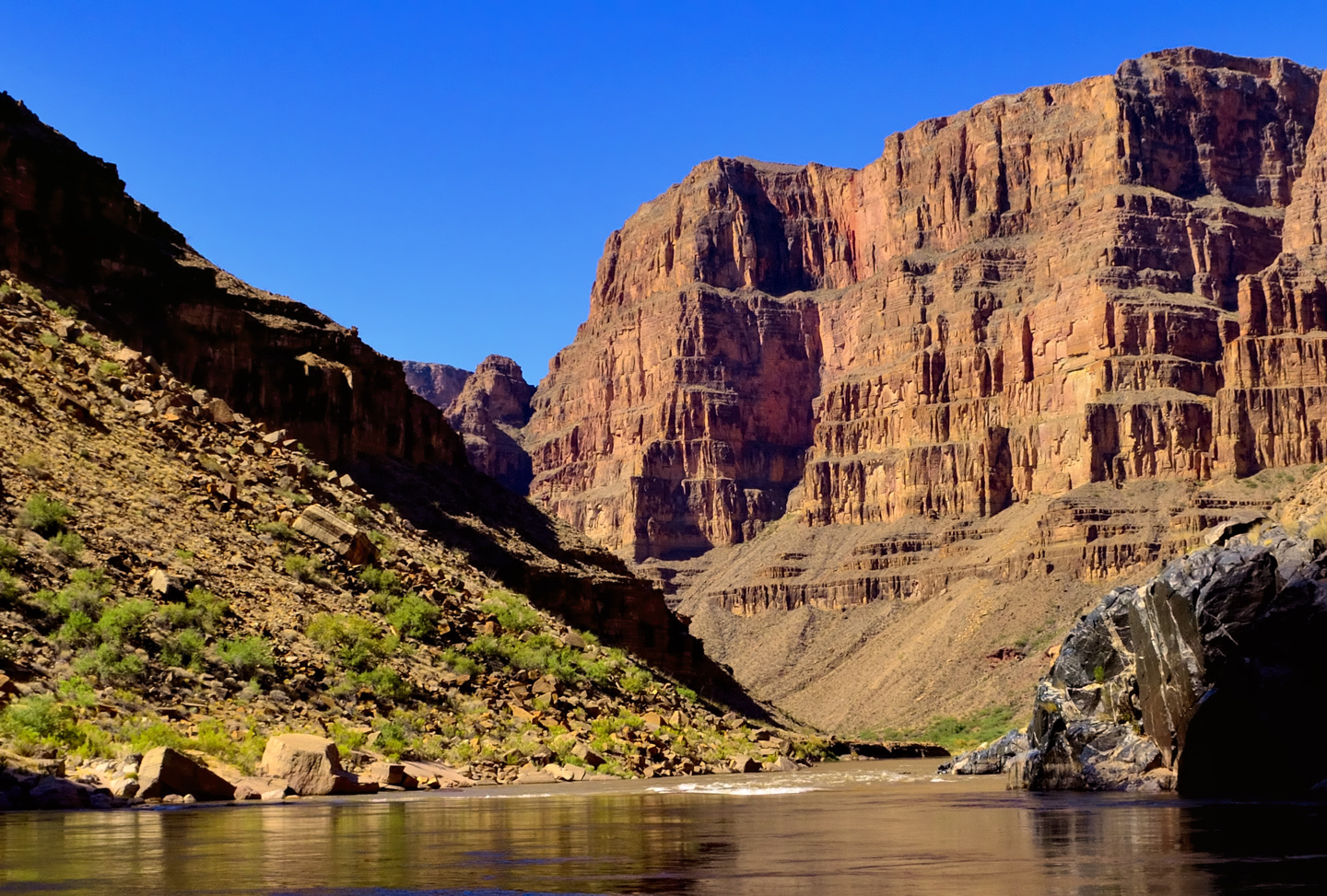
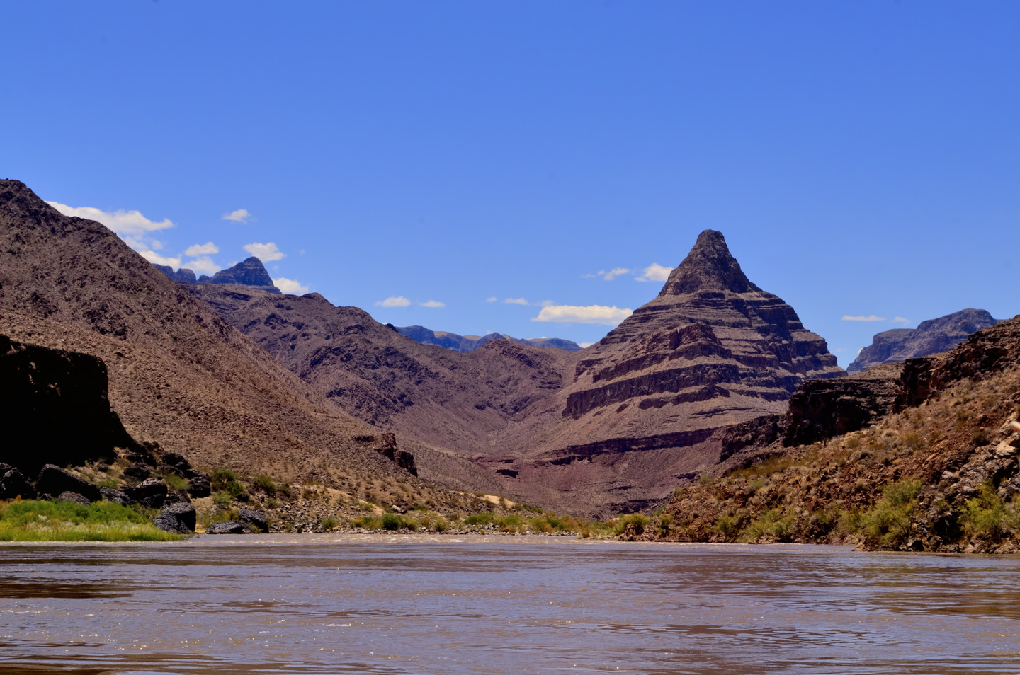
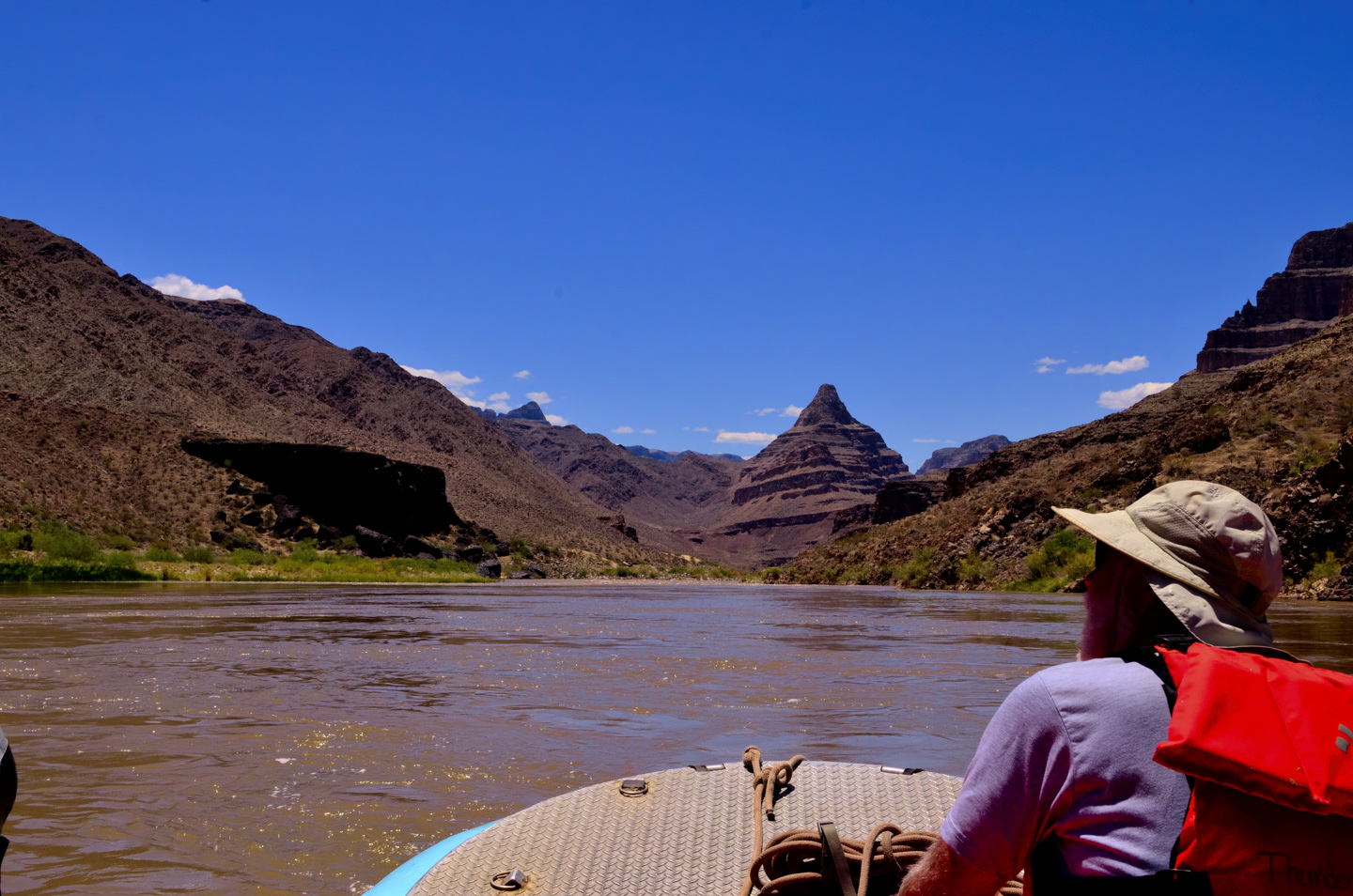
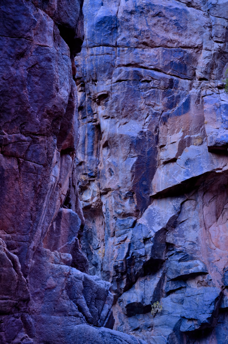
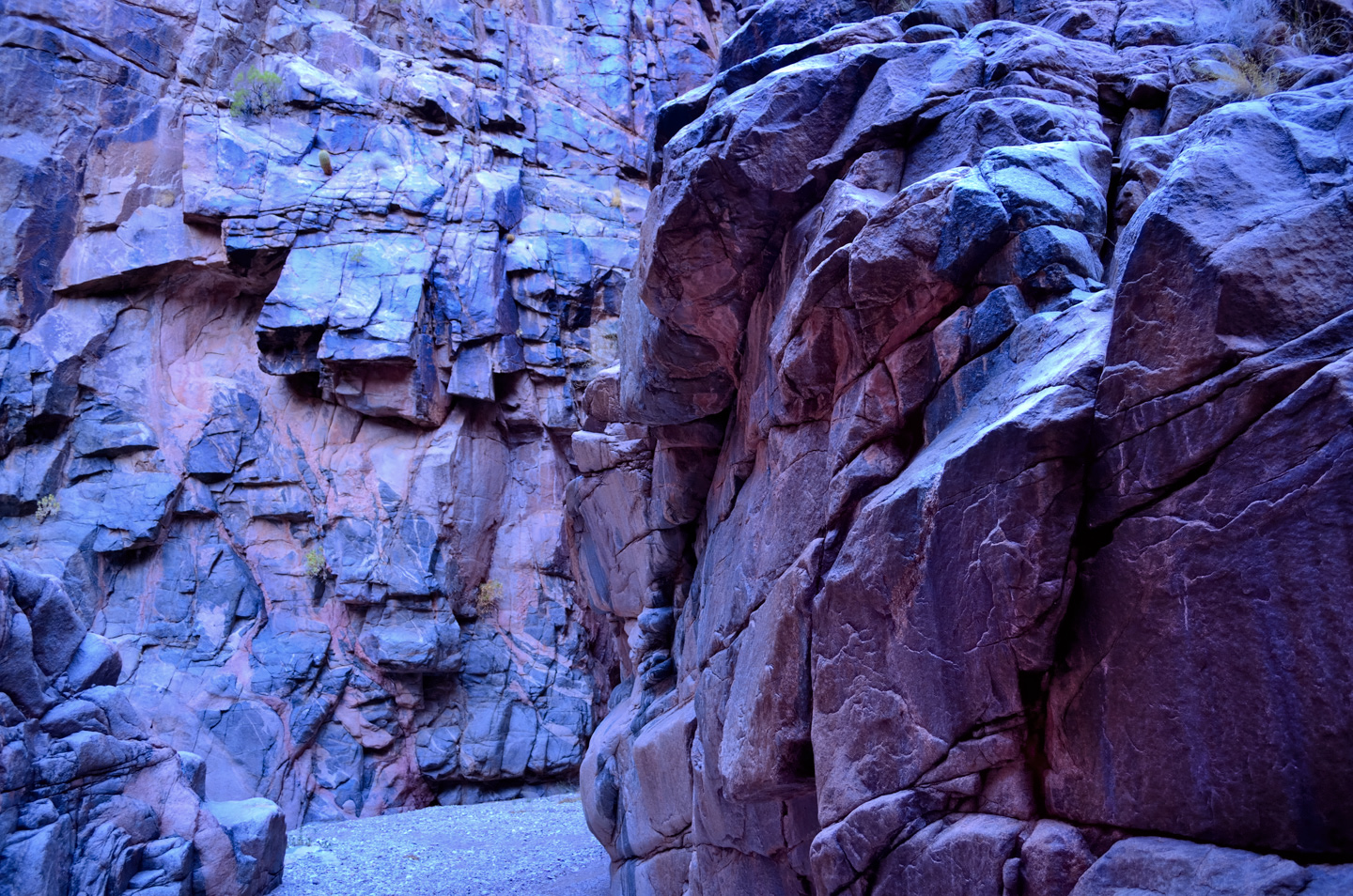
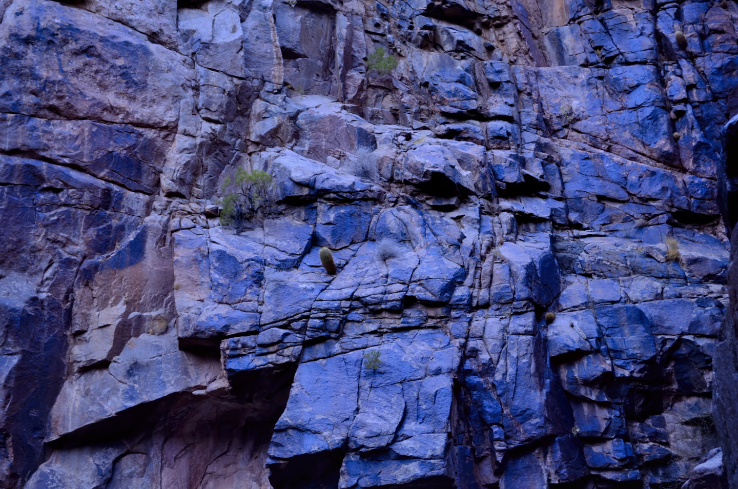
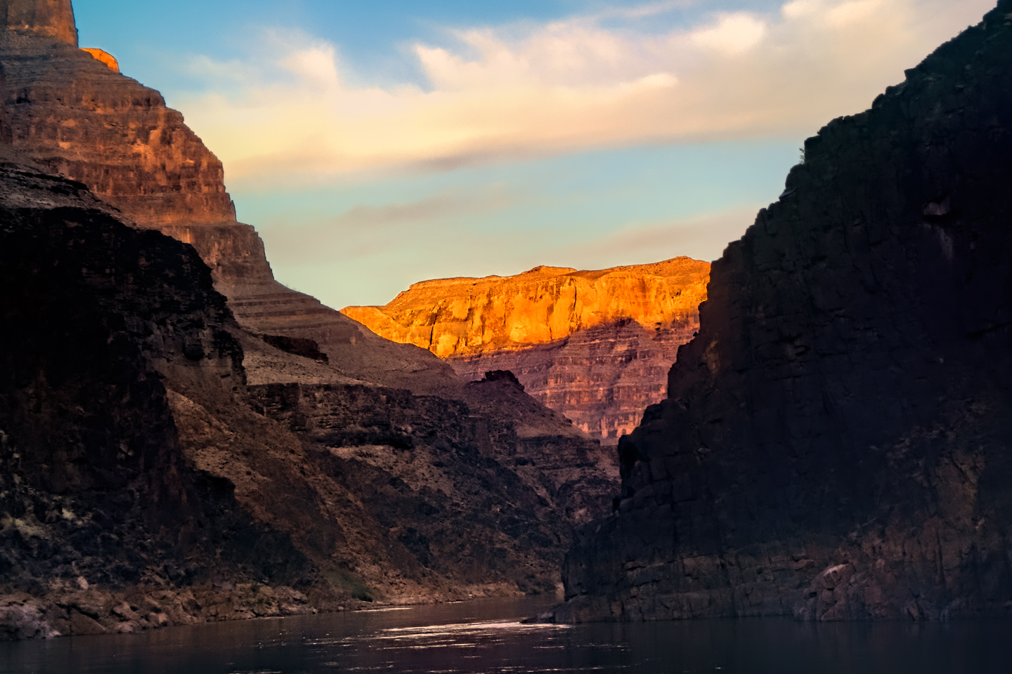
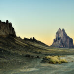
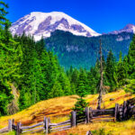
We stayed just long enough to see it, then climbed back aboard the rafts and motored the heck out of there. At mile 215 we hit Three Springs Rapid, and at mile 216 we entered Lower Granite Gorge. We were back to the basement rocks, dark black stone, and further evidence of the Great Unconformity that we’d observed so graphically in Blacktail Canyon. In fairly rapid succession we hit 217 Mile Rapid, a Class 5 with a whopping 16 foot drop, then Granite Spring Rapid, and finally 224 Mile Rapid. Next, a formation known as Diamond Peak loomed on the horizon directly ahead of us. This was a distinctive cone shaped mountain, topped by a narrower cone that looked a whole lot like a nipple—which of course gives rise to an alternate name for the mountain, which I’ll leave to your imagination.
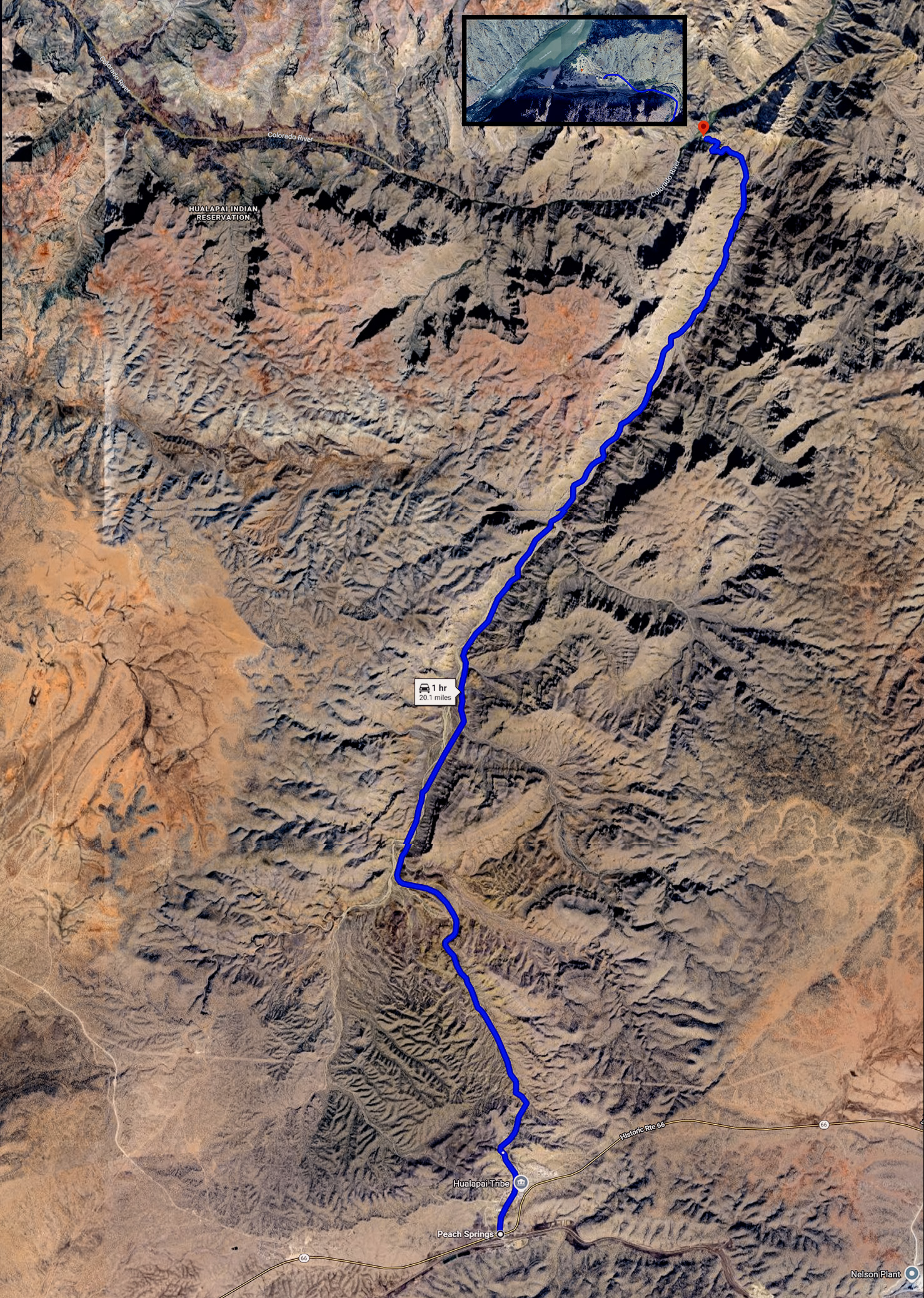
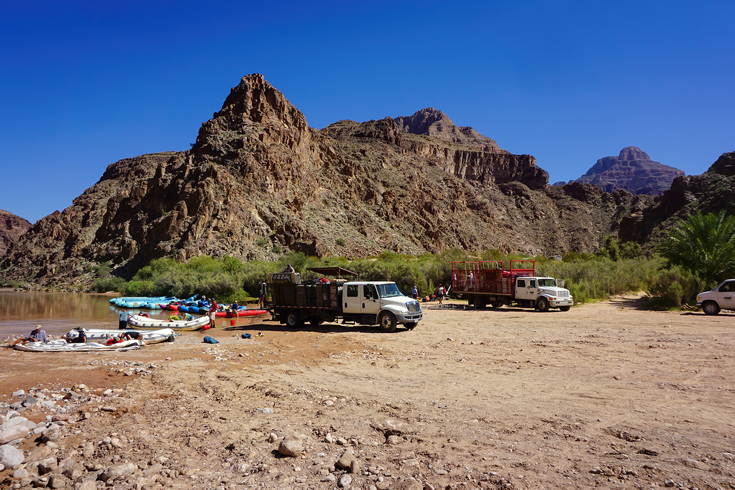
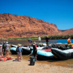
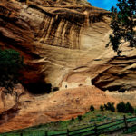
Beyond Diamond Peak we passed a broad, flat area on river left, and were a bit surprised to see several vehicles parked near the riverbank. There were at least a half dozen rafts pulled over, and a ramada-like permanent shelter. This was Diamond Creek, the only place along the river below Lee’s Ferry that’s accessible by road. Some rafting trips take out at this spot, exiting the canyon in trucks or vans that travel up a rough track to the rim before following a primitive road across the Hualapai Reservation to Old Route 66, near Peach Springs.
DIAMOND CREEK ROAD
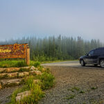
When I took my river trip in 2013, I was intrigued by the sight of vehicles on the riverbank at Diamond Creek. There was actually a road that would take you all the way down to the river, inside the Grand Canyon, and I was determined to drive that road in my Jeep.
It’s actually not as difficult as it sounds: the road starts in Peach Springs, on old Route 66 north of Kingman. The whole area is on the Hualapai reservation, and to drive Diamond Creek Road, you’ll need permits from the tribe, which you can obtain at the Hualapai Lodge. For Arizona residents, the cost is $16 per day for each person in your vehicle. If you’re from out of state, the cost is $26 per person per day. Overnight camping requires an additional fee. The road can be a little rough, so a high clearance vehicle with good tires and suspension is required.
Ask in Peach Springs about the road conditions before you start out, because heavy rain can render the road impassable, and you would not want to get stuck at the bottom. Bring plenty of drinking water and anything else you might need. There’s a camp ground at the end of the road, but the facilities are very basic. (Note that permits for camping cost extra; inquire at the Hualapai Lodge if you’re interested.)
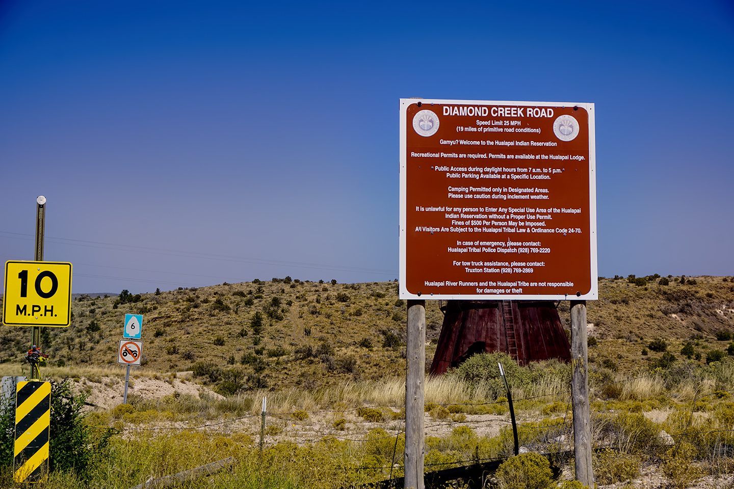
Sign at the beginning of Diamond Creek Road (Hualapai Route 6) , just outside Peach Springs.
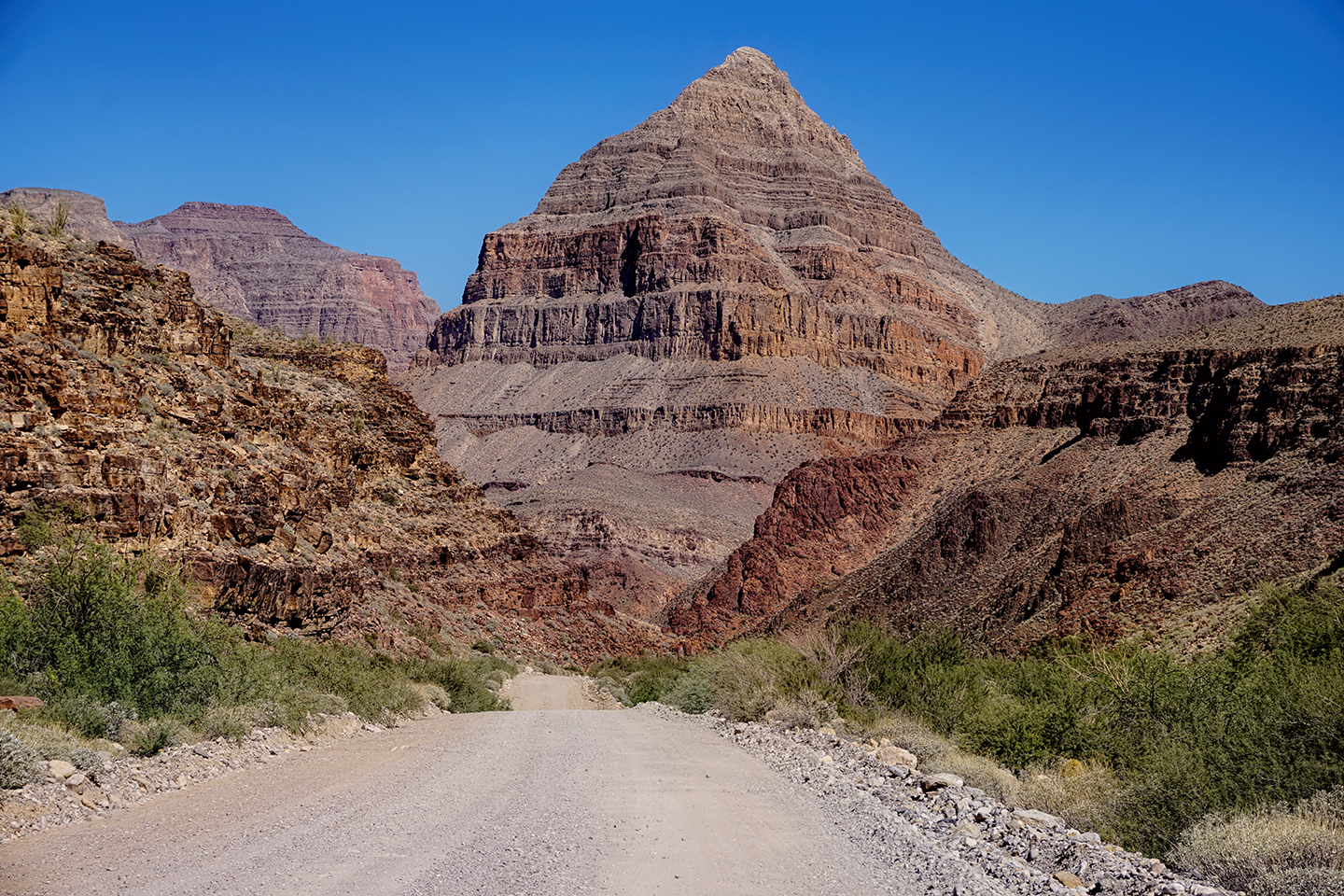
Diamond Peak, as seen from Diamond Creek Road, dominates the skyline as you near the river
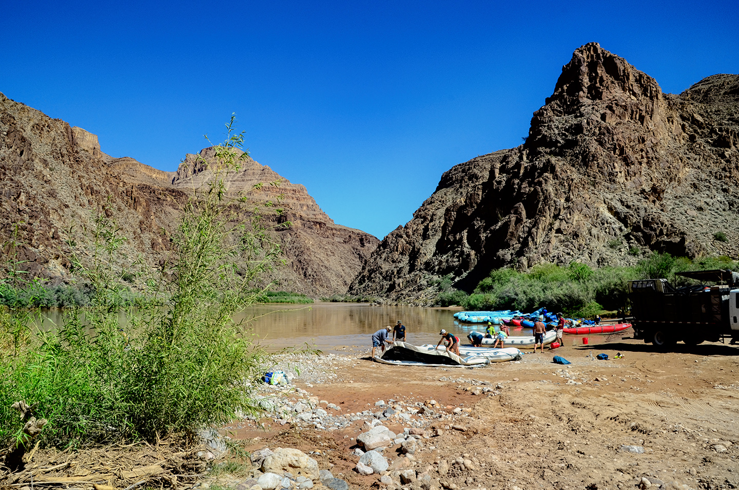
A rafting party deflates their rafts before loading them onto trucks for the drive to Peach Springs and beyond.
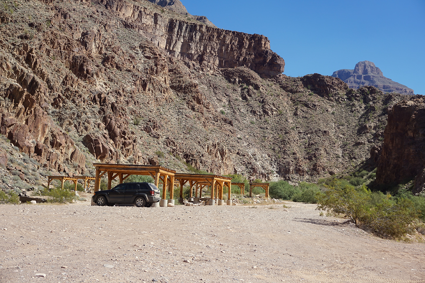
My Jeep Grand Cherokee, parked beneath one of the ramadas. Mission accomplished!
Click Photos to expand the images to full screen
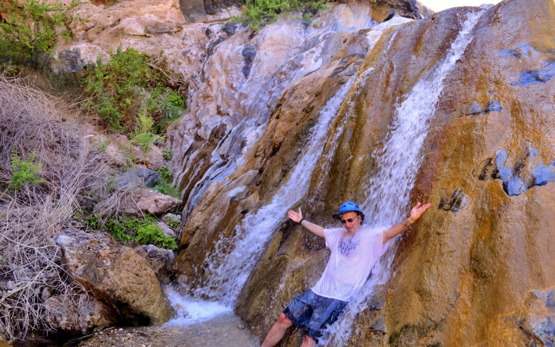
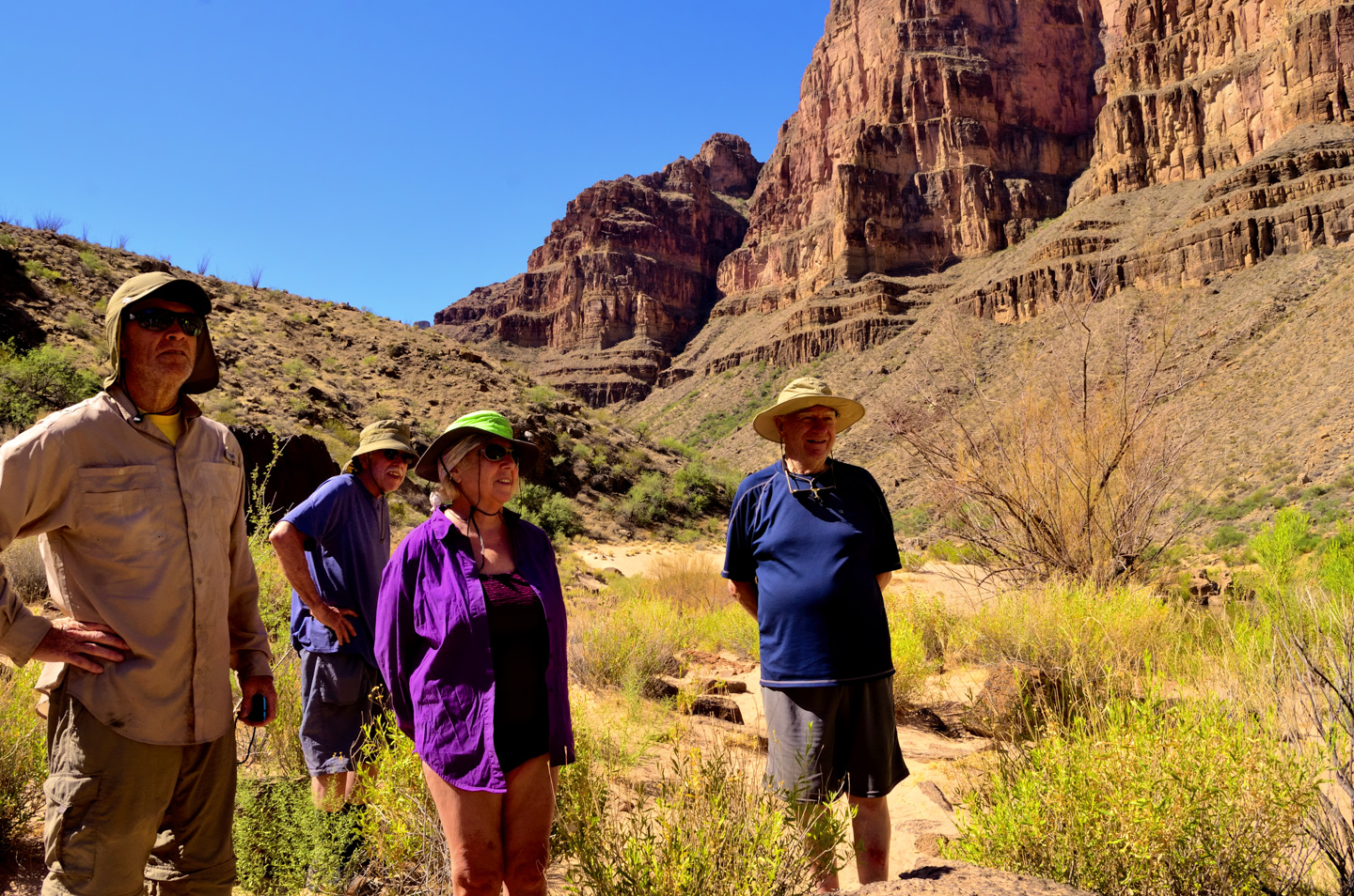
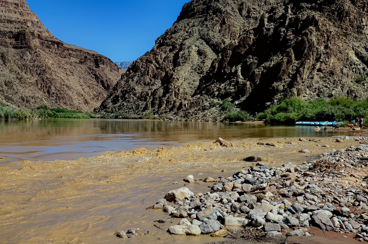
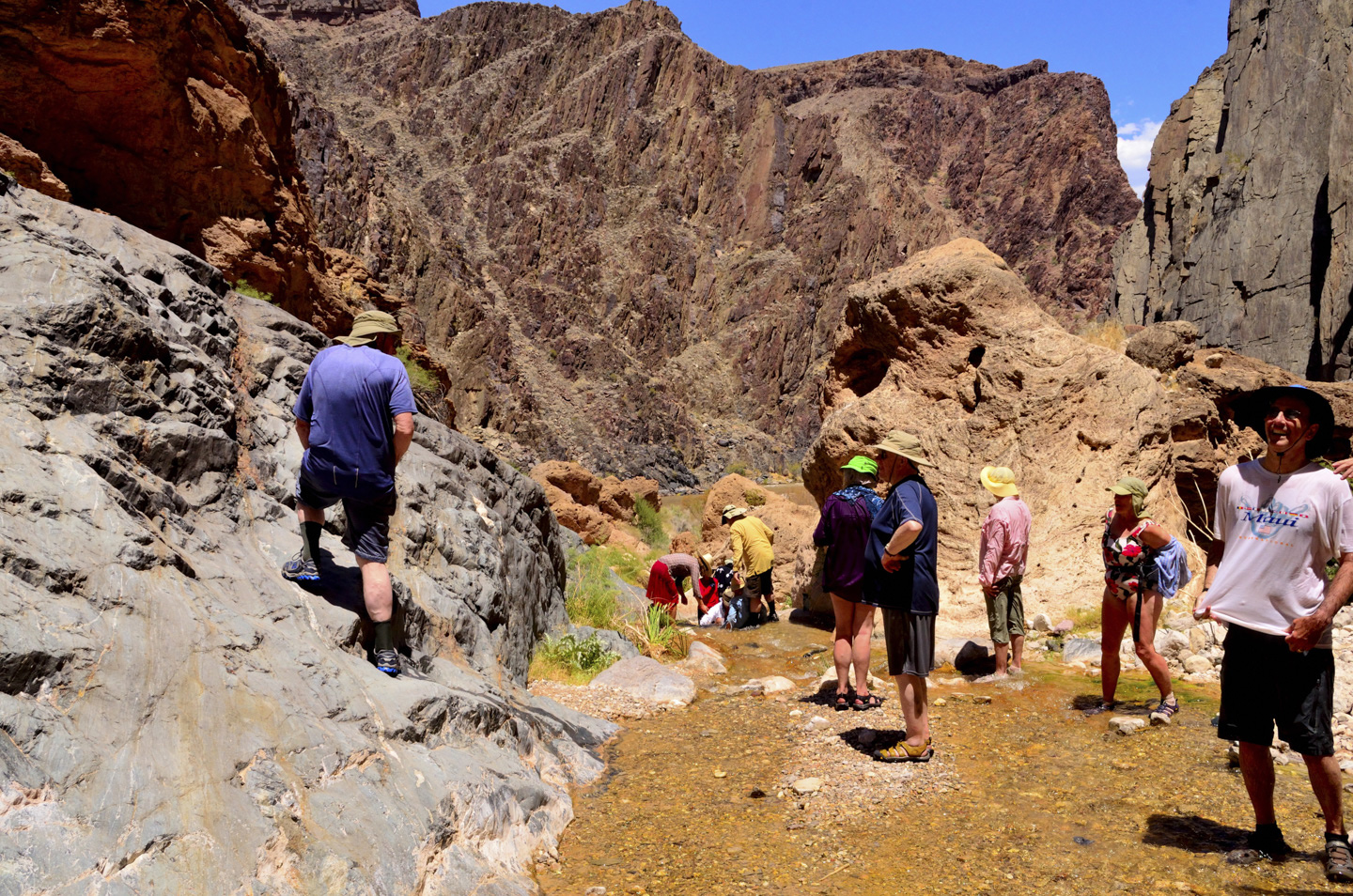
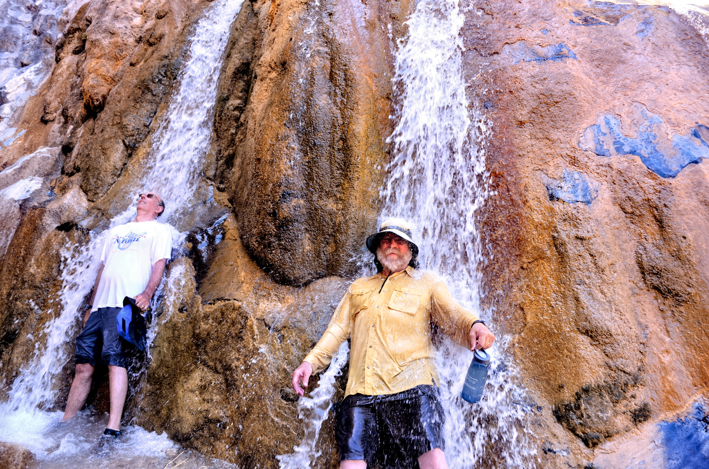
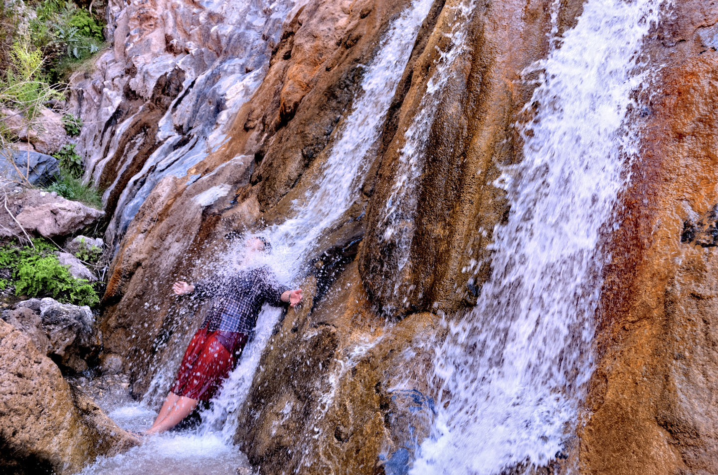
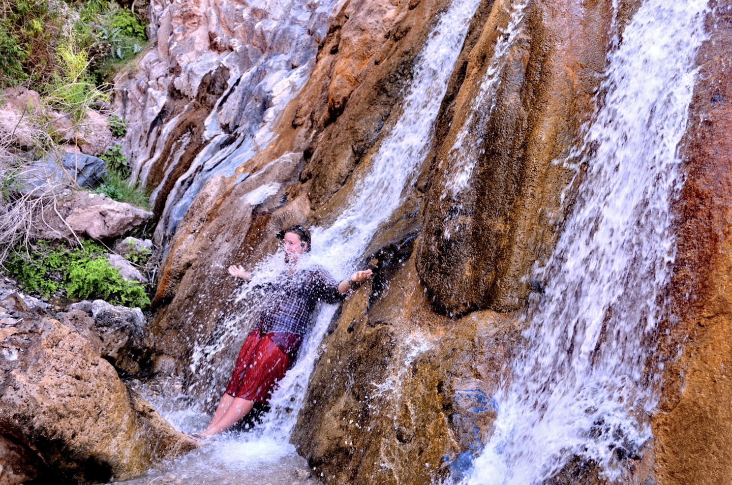
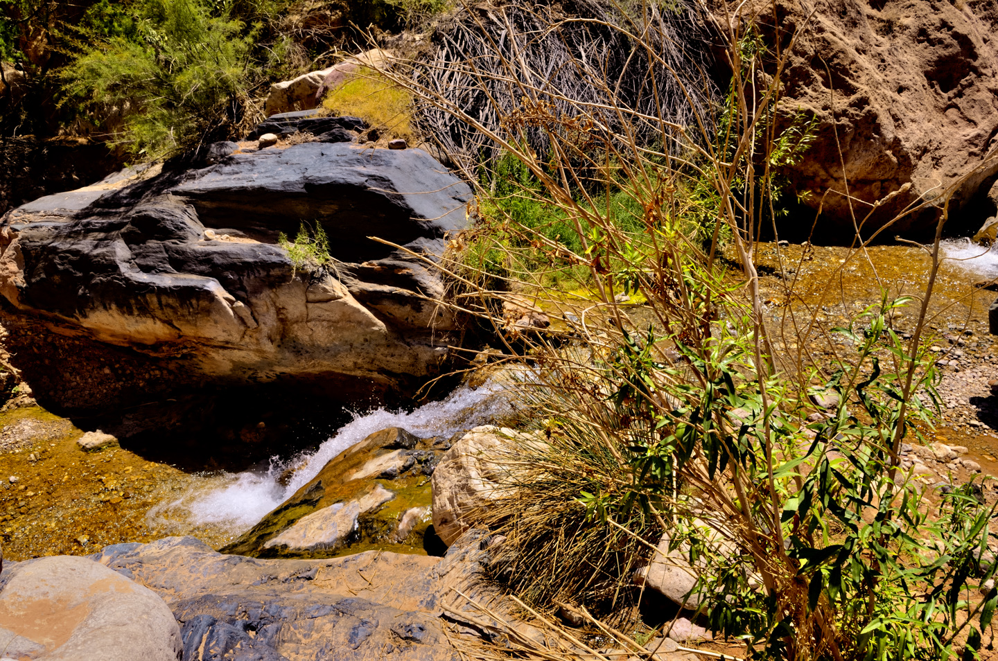
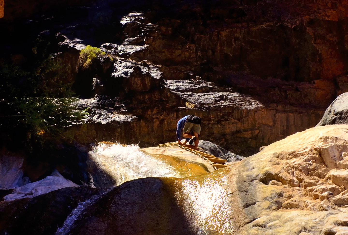
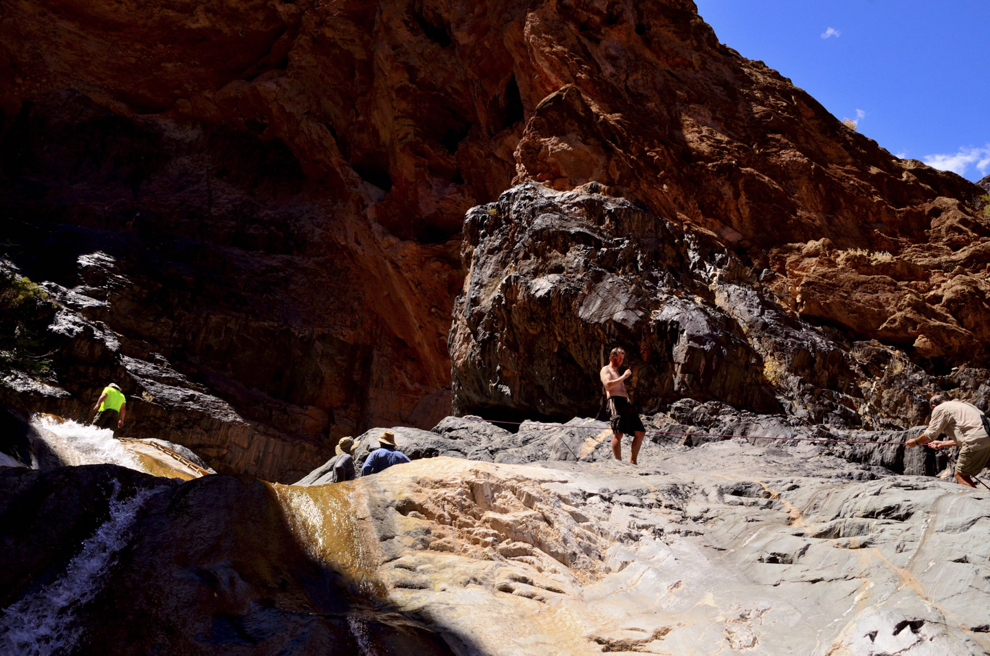
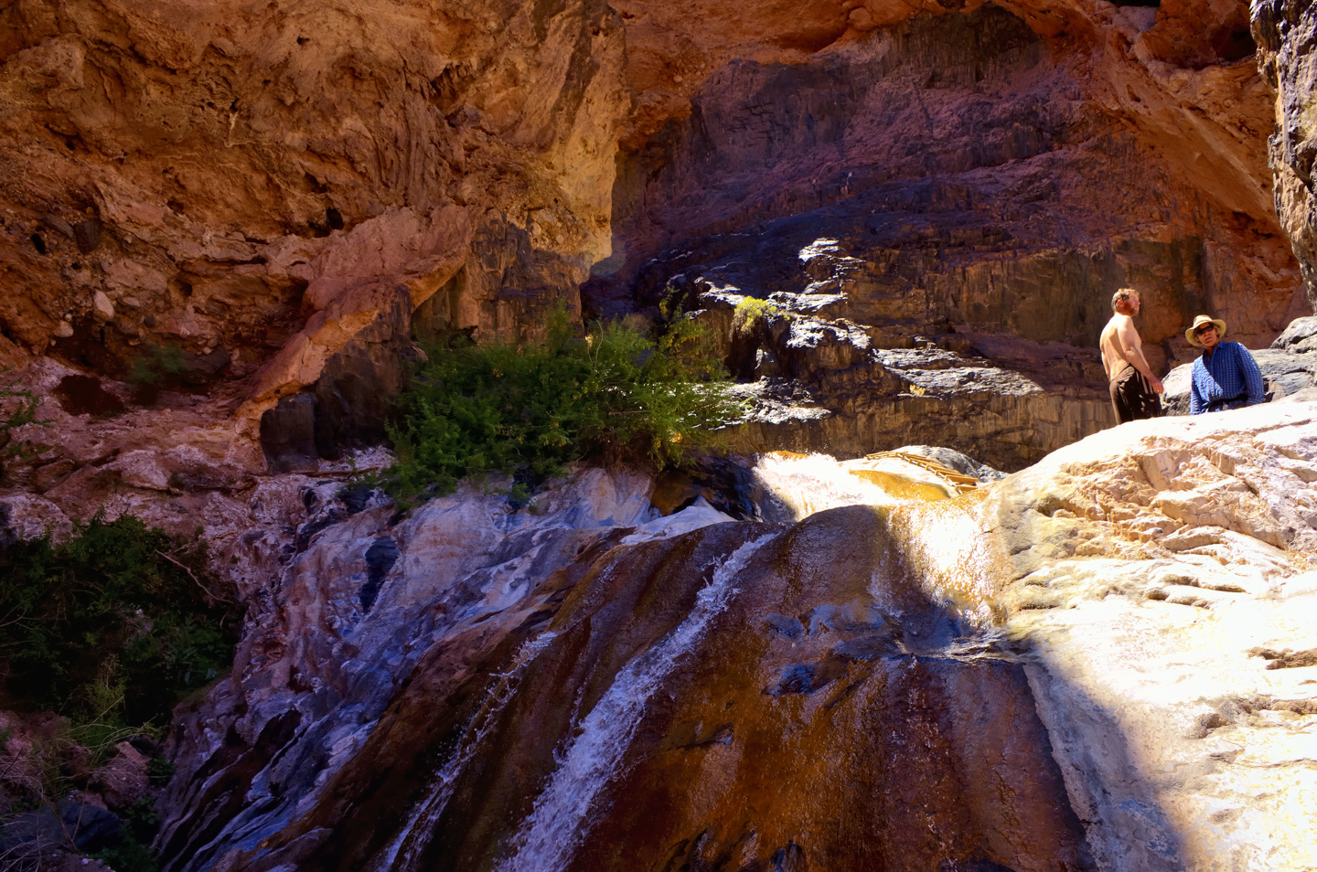
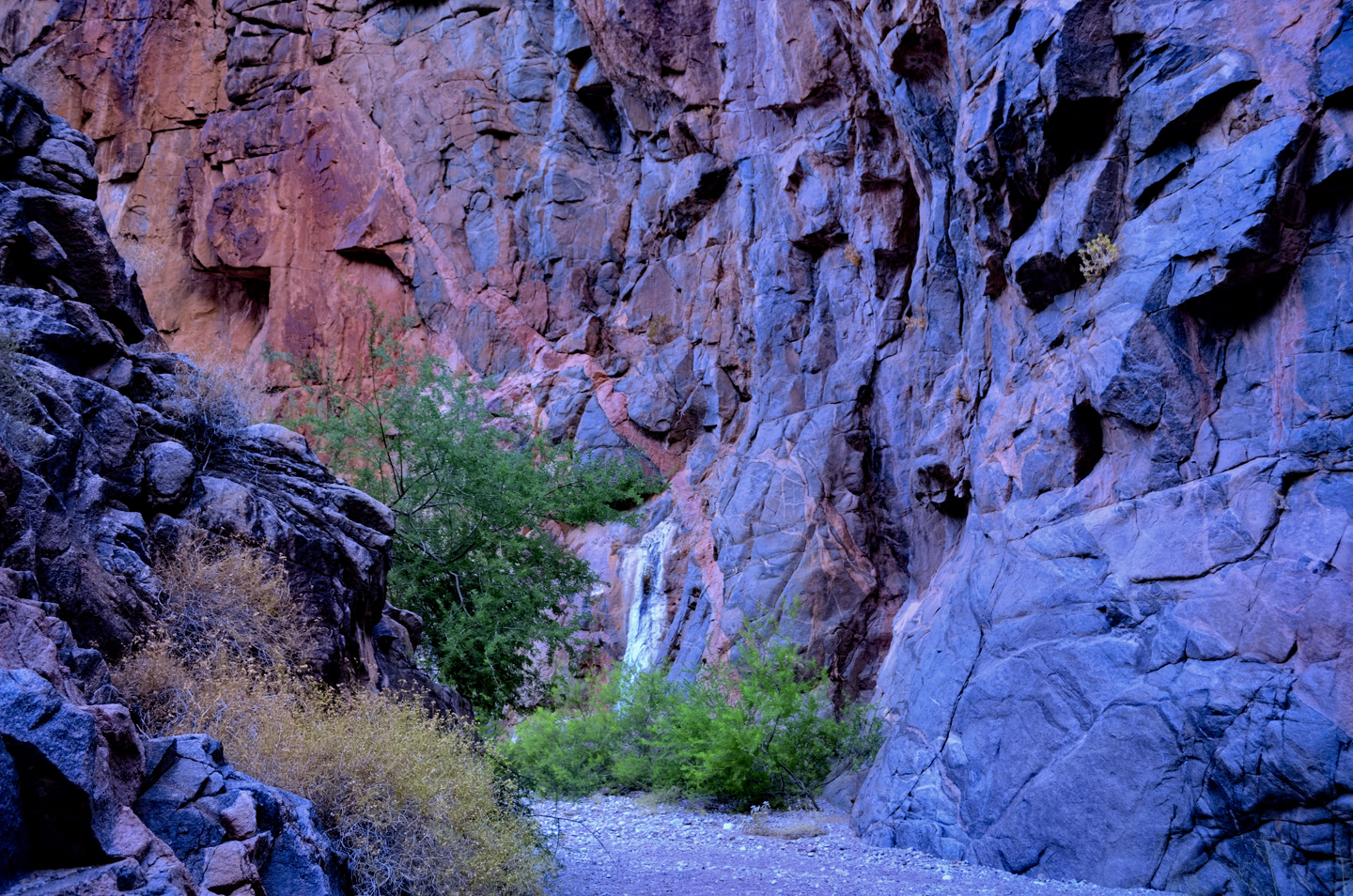
Immediately below that beach we hit Diamond Creek Rapid, then Travertine Rapid, where we pulled over to the bank at Travertine Canyon. The creek that entered the river here flowed across huge, slippery boulders in a series of small waterfalls, and we had great fun taking turns standing in the flow, almost like a natural shower.
If only the water had been warm, I would have broken out a bar of soap and lathered up!
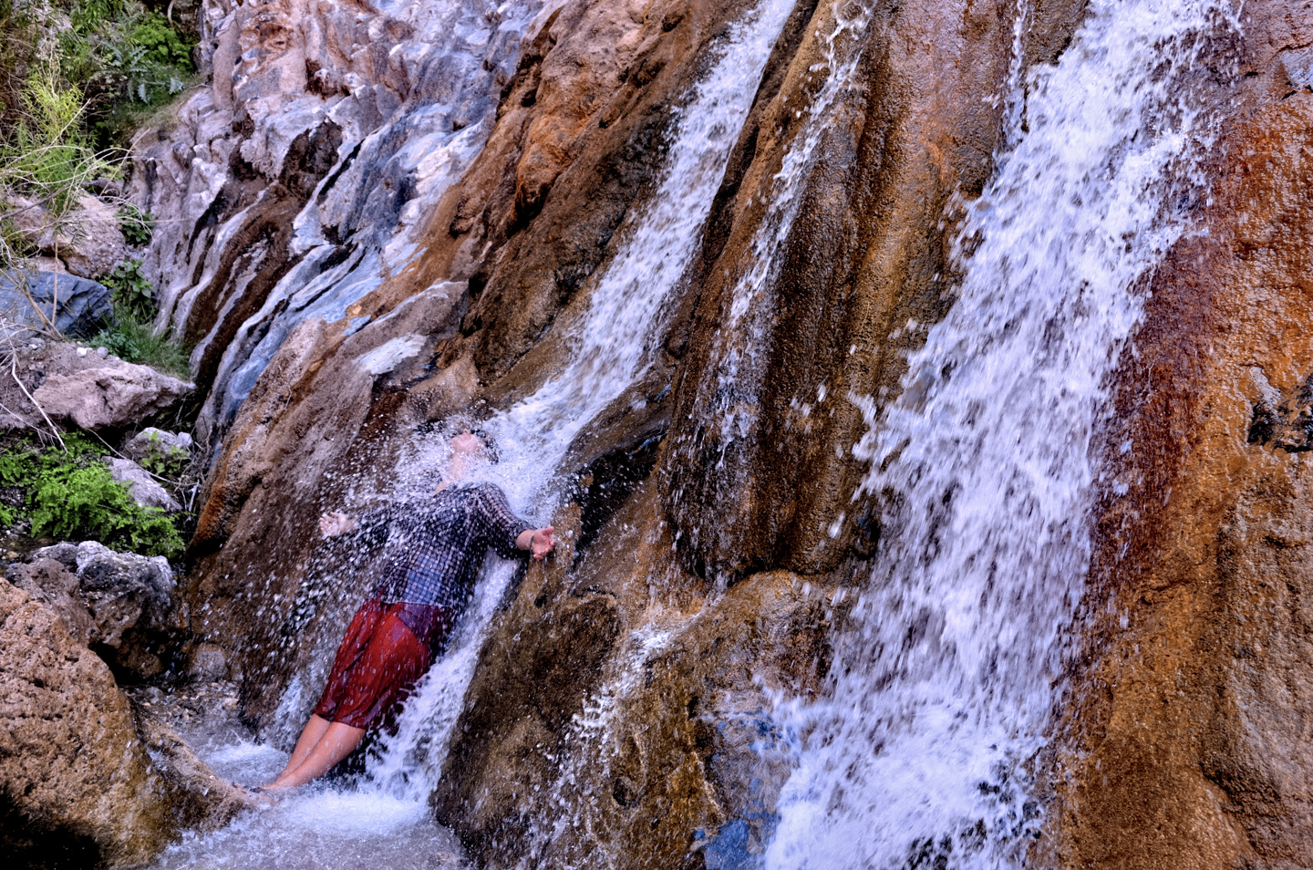
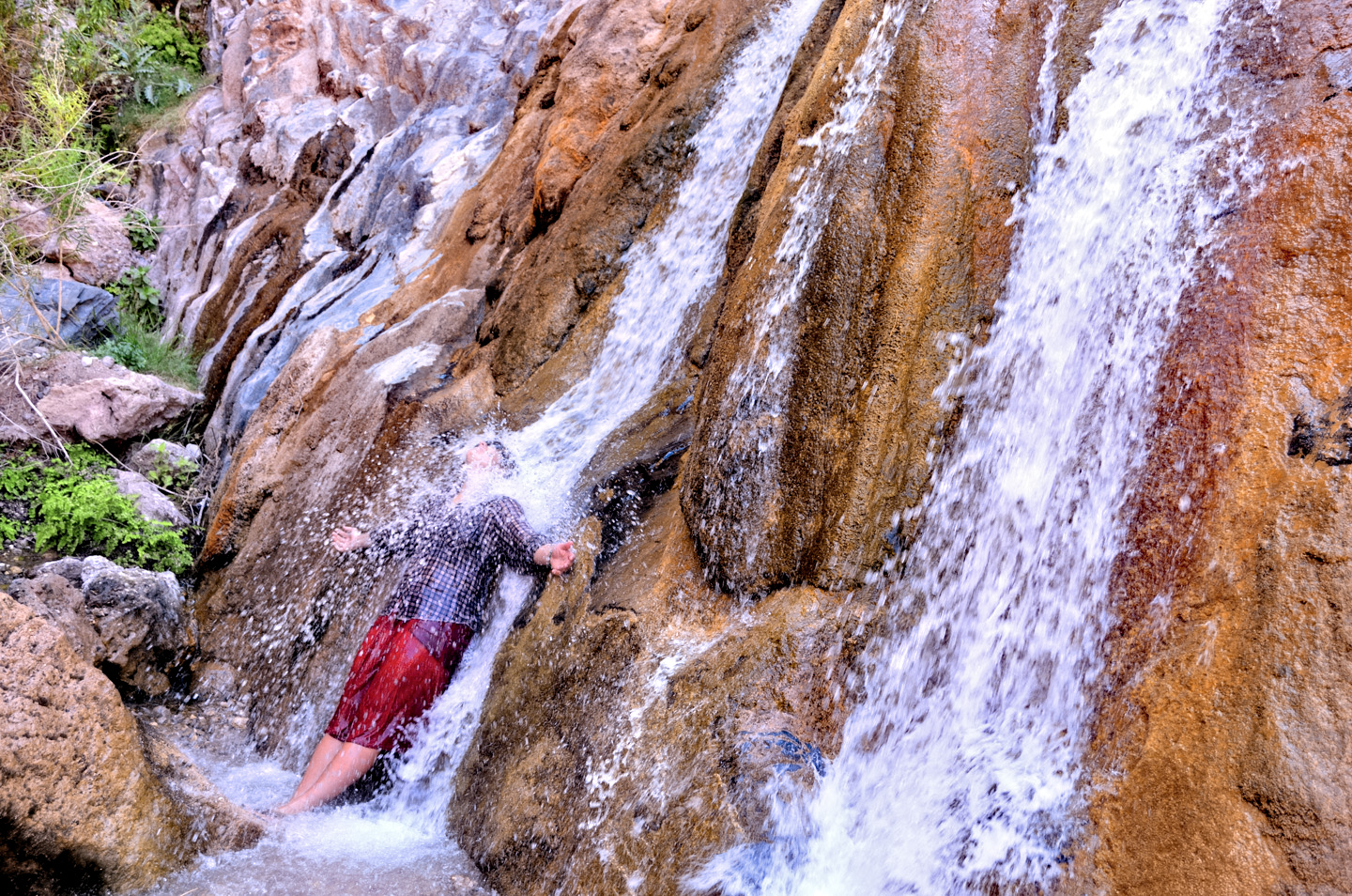
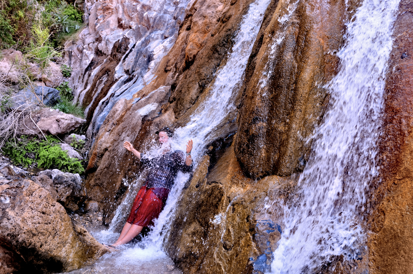
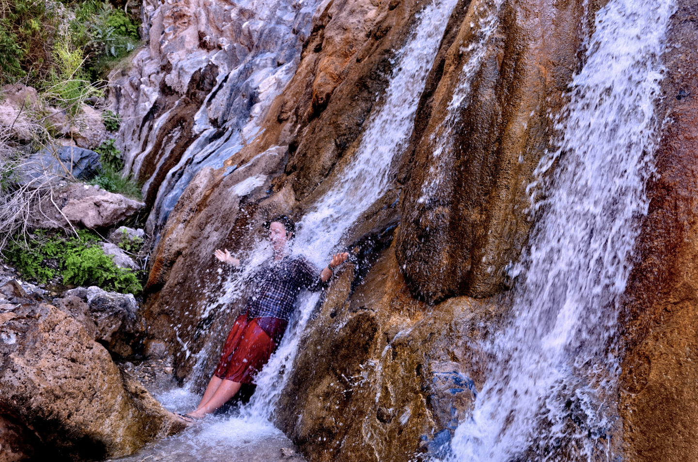
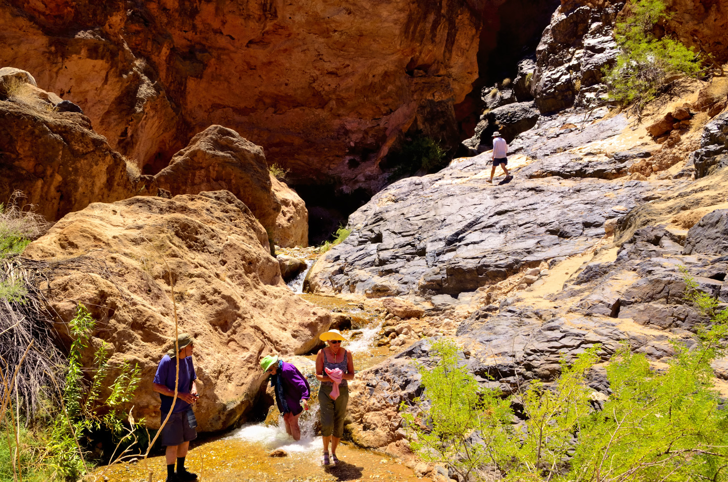
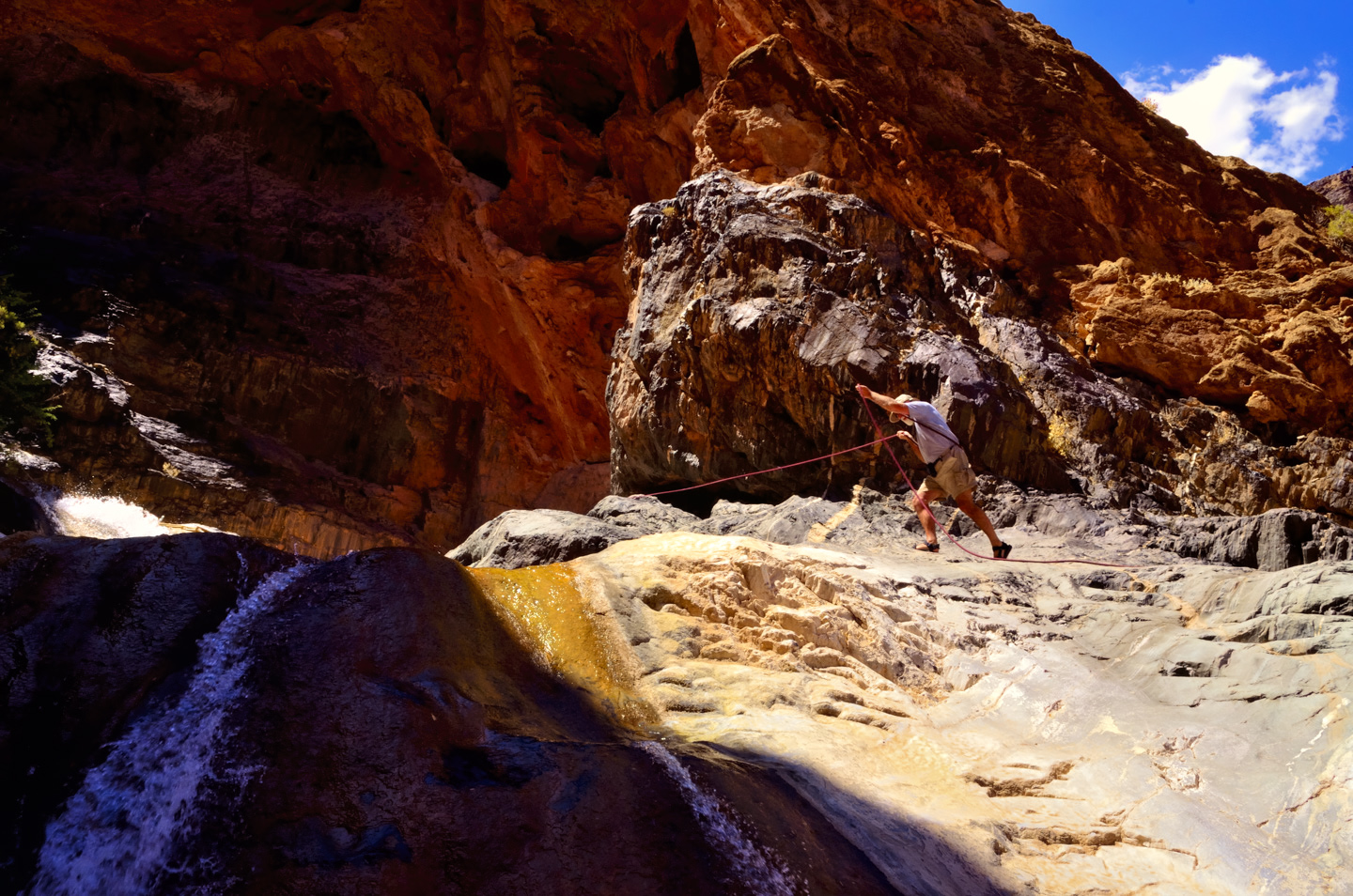
We took a short hike up the slope to another spot where water from the stream spilled over the rocks. The bouldering enthusiasts in our group had some fun there, scrambling up to the top for a better vantage point, looking down on the rest of us.
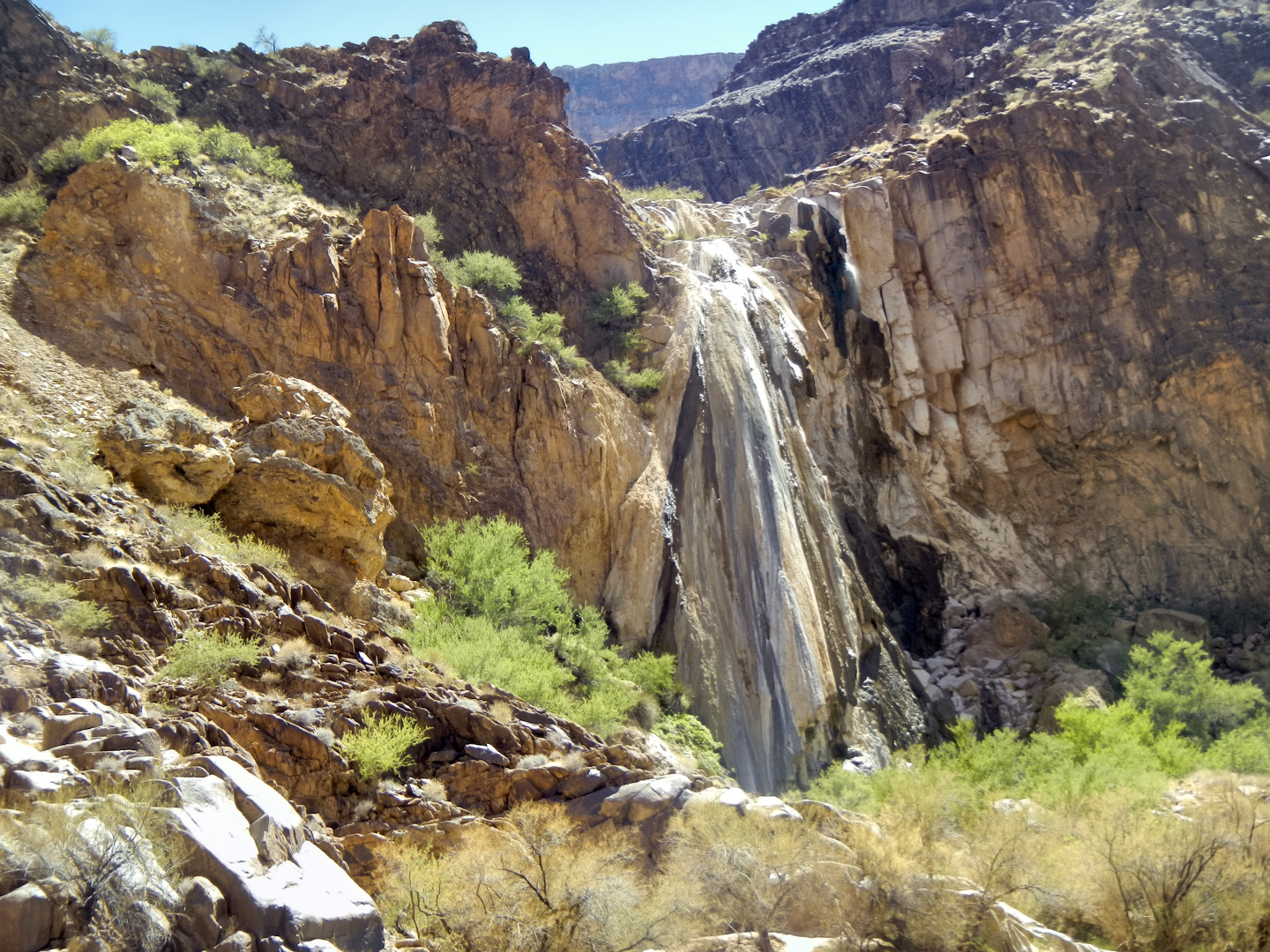
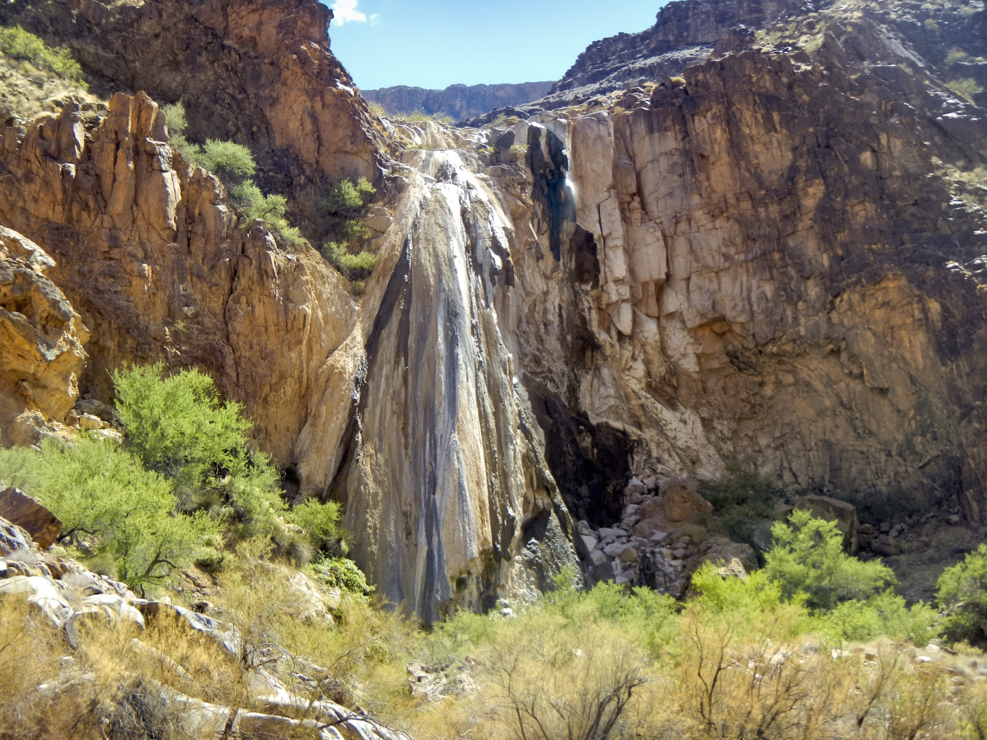
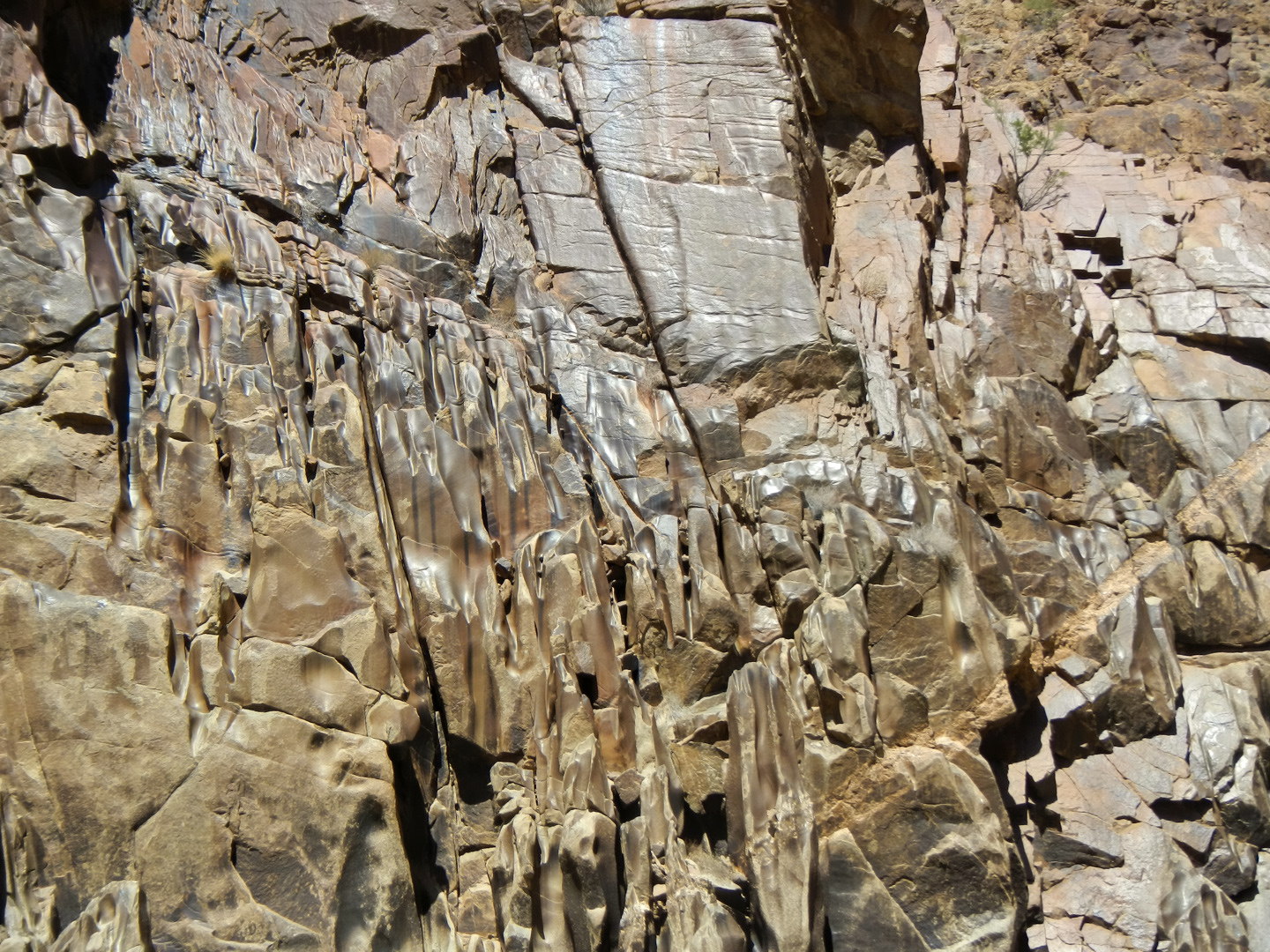
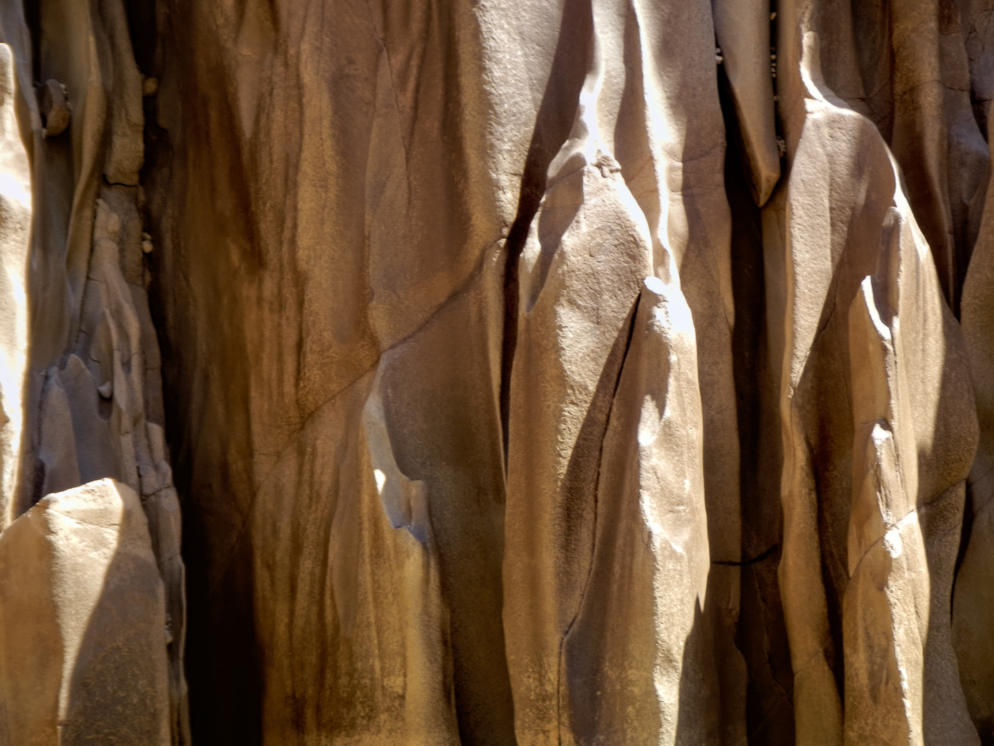
After our little break, we trudged back to the rafts and took off again. On river left we passed an extraordinary formation known as Travertine Falls, which is exactly what it sounds like: a waterfall cast in stone, layer upon layer of minerals deposited by water flowing over a cliff, built up into the perfect shape of a cascade, frozen in time.
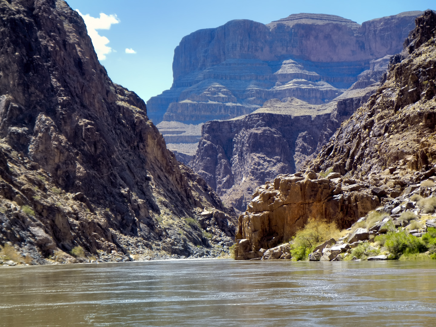
The rest of the afternoon was a long series of small rapids: 231 Mile. 232 Mile, 234 Mile, Bridge Canyon, Gneiss Canyon, 237 Mile, Separation Rapid, 241 Mile, and finally Lava Cliff Rapid.
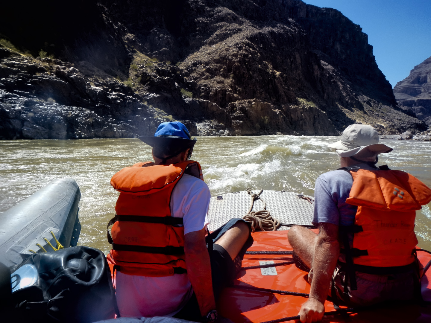
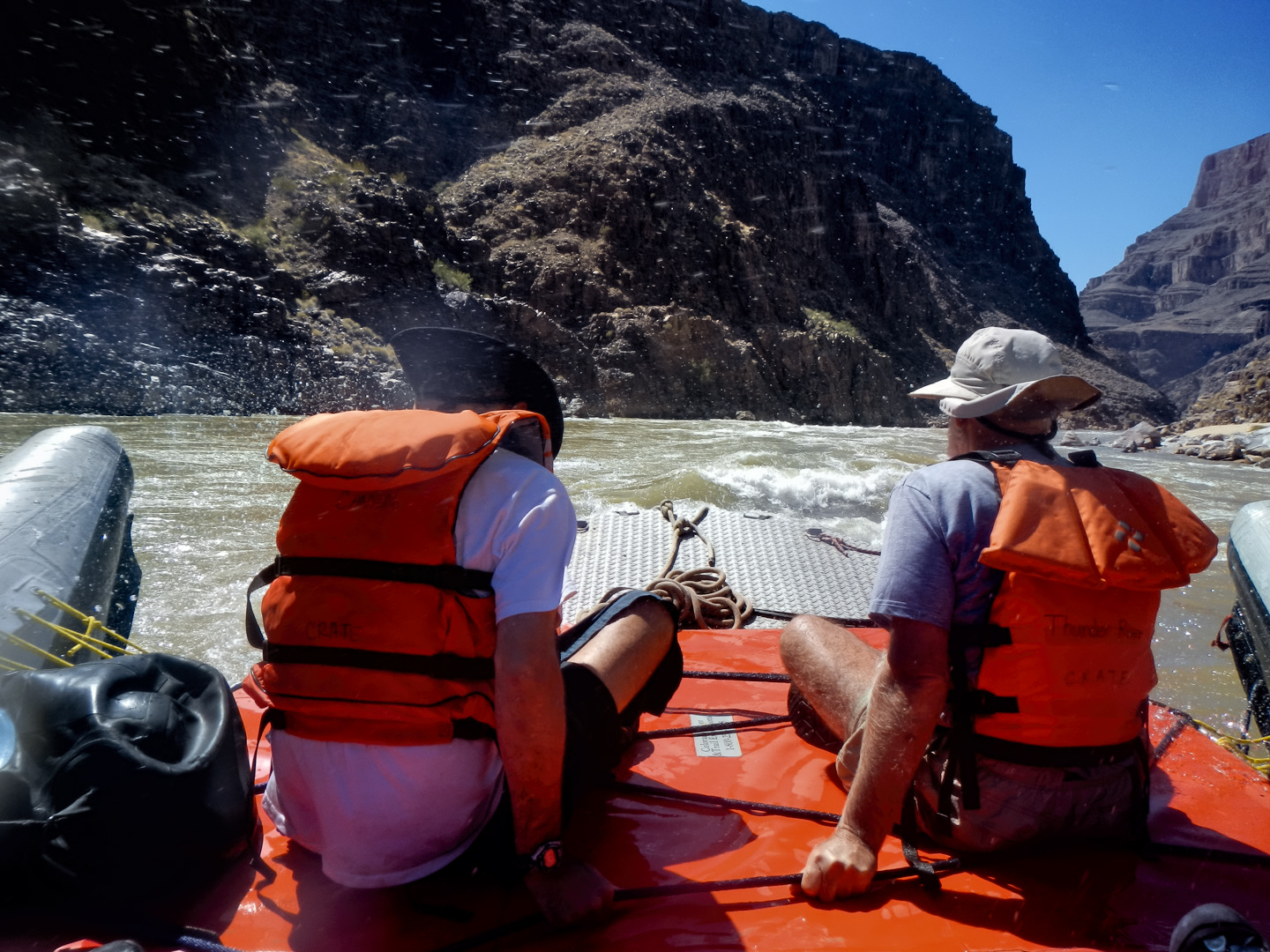

A couple of those were Class 7, the rest a bit smaller, but it made for a heck of a joyful ride on this, our last afternoon in the canyon, and the last rapids we’d be seeing, because the last thirty miles of river, from here to Pearce Ferry, is nothing but flat calm water. We pulled over at mile 248, Surprise Canyon, and that’s where we made our last camp. It was a beautiful spot, surrounded by blue-black rock.
Because it was our last night, the crew broke out a special treat for us: the last of the ice from the food storage lockers. There was just enough to go around, and by chipping off some small pieces and inserting them into our water bottles, we had the exquisite luxury of a truly COLD drink of water for the first time in days. Pleasure is obviously a relative concept, and highly subjective, but I think we were all in agreement on this one: that cold ice water was heavenly—probably the most supremely satisfying drink of water I’ve ever had the pleasure of tasting.
Click any of the images to expand them to full screen.
(Unless otherwise noted, all of these images are my original work, and are protected by copyright. They may not be duplicated for commercial purposes.)
The Adventure Continues:
This is an interactive Table of Contents. Click the pictures to open the pages.
A Grand Adventure! White Water Rafting on the Colorado River

Grand Canyon Rafting: Day 1: Colorado River and Trail Expeditions
The two rafts were shoved away from the beach until they floated free, and the boat drivers eased them into the middle of the channel. We were mostly moving with the current, but the beach dropped behind us pretty quickly, and in a matter of minutes we were out there, rafting down the Colorado River, heading squarely into the enchanted depths of the Grand Canyon...
<<CLICK to Read More!>>

Grand Canyon Rafting: Day 2: Redwall Cavern and Nankoweap
The cliffs and buttes were a perfect composition, the different colored layers of stone were all but glowing in the afternoon light, and we had this incredible world all to ourselves, not another boat in sight.

Grand Canyon Rafting: Day 3: From the Confluence to Phantom Ranch
The waters of the Little Colorado are a turquoise blue that is so startlingly bright it doesn't even look real. There’s a well-defined spot where that warm, turquoise blue water from the small river collides with the cold, deep green water flowing upstream from the big river. The two dramatically different colors mix, forming a shifting, swirling line of chartreuse. That spot is the confluence. It's magical, and utterly unique.

Grand Canyon Rafting: Day 4: Big Rapids in the Inner Gorge
I was still a little dazed by the whole thing, scenes of frothing, churning whitewater playing over and over in my head. Fleecy white clouds were piling up above the canyon rim, nearly filling the narrow patch of sky, until the lowering sun set them afire, a Grand Canyon sunset display that was the finest we’d seen, worthy of the spectacular setting. A fitting end to one of the most amazing days of my life.

Grand Canyon Rafting: Day 5: A Picnic on Havasu Creek
The trail meandered for a mile or so, finally dropping down level with the creek, giving us access to a series of perfect swimming holes. There’s something about that exotic turquoise water that welcomes swimmers--you have to get in it, if only to assure yourself that it’s real. The creek was cool, but far from cold, and a welcome change from the icy water in the river. We stopped at a particularly inviting spot to swim, relax, and eat our lunch. Sitting beside that creek, with our simple repast--it was like having a picnic in the Garden of Eden.

Grand Canyon Rafting: Day 6: National Canyon and Lava Falls
“Two Hander!” John called out rather gleefully, and we all clung to the ropes for dear life as the raft picked up speed. We were headed straight for the boil of Lava Falls, which was roaring like a freight train, bearing down. We entered the churning whitewater pretty much dead center, then moved hard to the right to avoid the standing waves and the big holes in the middle of the channel. We got good and drenched at least three times, almost like running under a series of waterfalls, bucking and lurching like crazy, but the whole thing was over in less than a minute.

Grand Canyon Rafting: Day 7: Pumpkin Springs and Waterfall Showers
Immediately below that beach we hit Diamond Creek Rapid, then Travertine Rapid, where we pulled over to the bank at Travertine Canyon. The creek that entered the river here flowed across huge, slippery boulders in a series of small waterfalls, and we had great fun taking turns standing in the flow, almost like a natural shower.

Grand Canyon Rafting: Day 8: Surprise Canyon to Pearce Ferry
The river broadened as we approached Lake Mead, and at mile 278 we entered the lake itself. Pearce Ferry was right there, and we were all pretty quiet as the rafts pulled in to shore for the last time. “Thrill of a lifetime” is a pretty strong statement, but it’s appropriate for this journey. There’s nothing else like it.

Grand Canyon Rafting
You find a rope, any rope, and you grab on with both hands for all you're worth. The river boils like the North Sea in a gale, great, rolling green waves and troughs. The raft plummets sideways into a hole fifteen feet deep, the outboard motor shrieks, a monster wave towering ten feet above your head comes crashing down across the deck, pummeling the passengers like a gigantic liquid fist that takes your breath away, leaving you suspended, time stopped, frozen in mid-scream.
<<CLICK to Read More!>>

There's nothing like a good road trip. Whether you're flying solo or with your family, on a motorcycle or in an RV, across your state or across the country, the important thing is that you're out there, away from your town, your work, your routine, meeting new people, seeing new sights, building the best kind of memories while living your life to the fullest.
Are you a veteran road tripper who loves grand vistas, or someone who's never done it, but would love to give it a try? Either way, you should consider making the Southwestern U.S. the scene of your own next adventure.
A few years ago I wrote a book about road trips in Arizona and New Mexico that's a lot like this website, packed with interesting information, and illustrated with beautiful photographs. Check it out! You can find it on Amazon, and at all other major booksellers.

ALASKA ROAD TRIP:
MEXICAN ROAD TRIP (IN THE LAND OF THE MAYA):
ARIZONA AND NEW MEXICO:
SOUTH AMERICA:
PHOTOGRAPHY:
TRIBAL LANDS:


Recent Comments