DAY 11: Back on the Road, from Chichén Itzá to Cancun
Mexico has always been well known to international travelers for the popular tourist destinations on its Pacific coast, places like Acapulco, Puerto Vallarta, and Cabo San Lucas, but prior to the early 1970’s, there were no equivalent options on the Atlantic side of the country. A visionary coalition of developers and financiers teamed with the Mexican government to correct that imbalance, by creating a Caribbean resort on what had been an essentially empty beach. They called their development Cancun, after the sleepy fishing village that was bulldozed to make room for their chicken wire and stucco shangrila, a sunny paradise of new hotels and nightclubs backed by white sand beaches and the sparkling blue expanse of the Caribbean Sea.
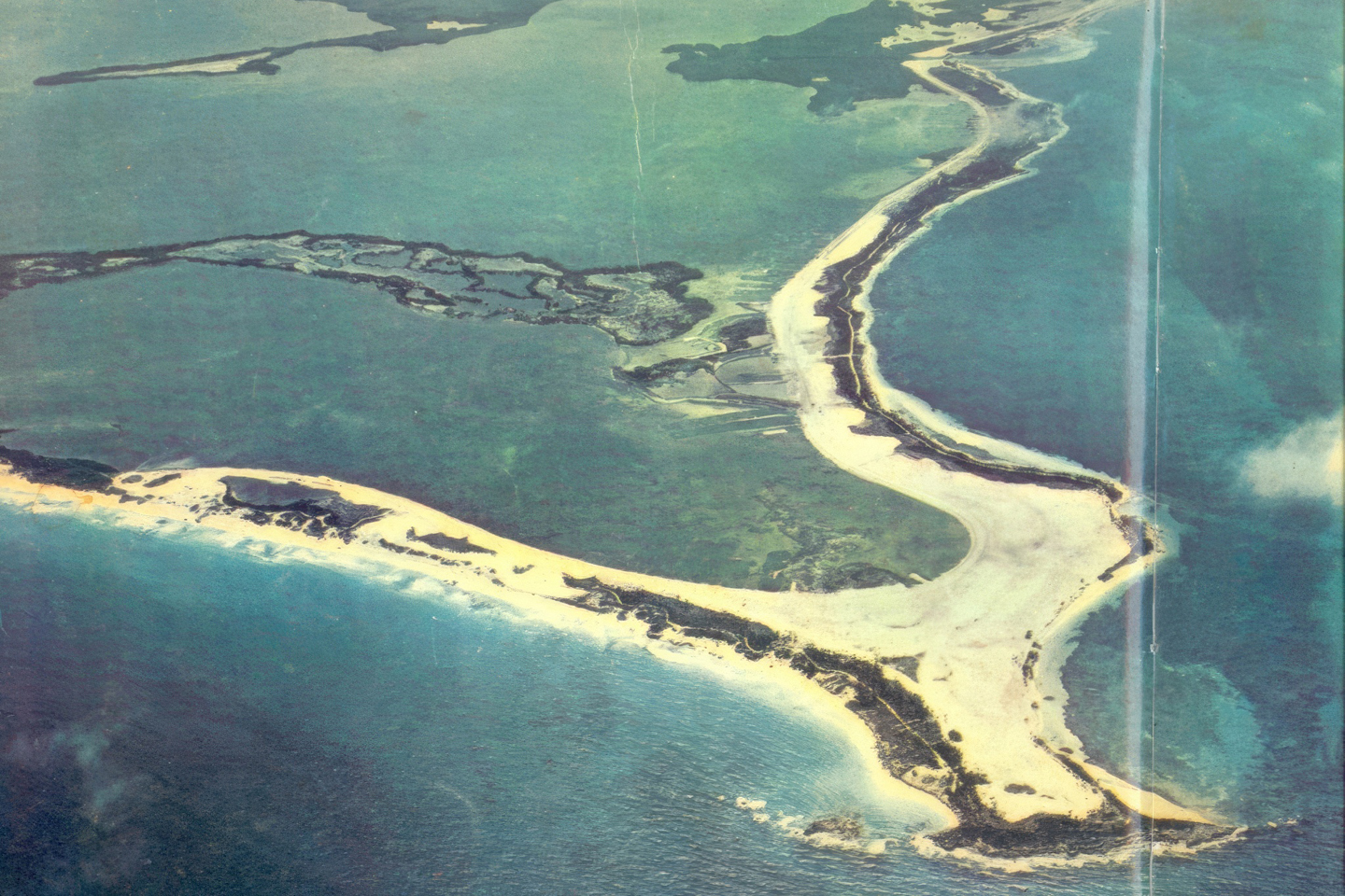
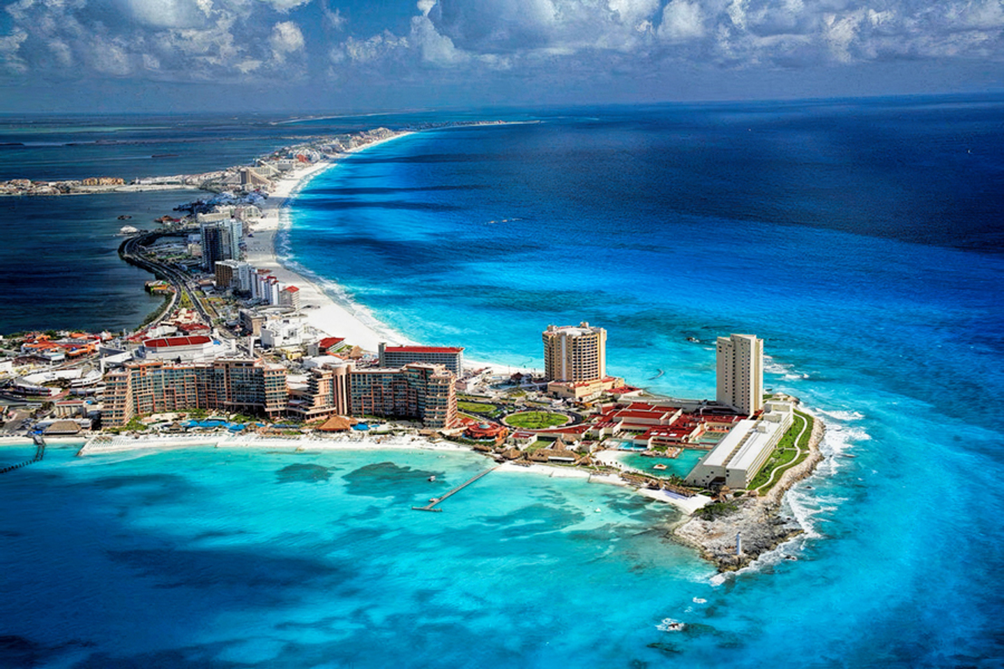
Aerial views of Cancun in 1970 (top), and again more recently
In the subsequent half century, Cancun grew from that sleepy fishing village into the second largest city in southern Mexico, transformed into a tourist mecca that sees as many as twenty-five million visitors in an average year. The Cancun of today is, hands down, the most popular destination in ALL of Mexico, but for me, personally, it was somewhere down near the bottom of my list of places I wanted to see on our road trip. Why such a negative view? Cancun is all about the beaches and clubs; this was mid-October, the tail end of an active rainy season, so it was a terrible time to be visiting beaches, and as for the clubs, as much as I hate to admit it, I’m getting too danged old to enjoy that sort of thing. My original inclination was to drive by Cancun and wave, without actually stopping. As far as I was concerned, the place has more in common with Miami than it does with the rest of Mexico, much less with the rest of the Yucatan, and we hadn’t driven this far south just to see a bunch of our fellow gringos wandering around in shorts and flip-flops.
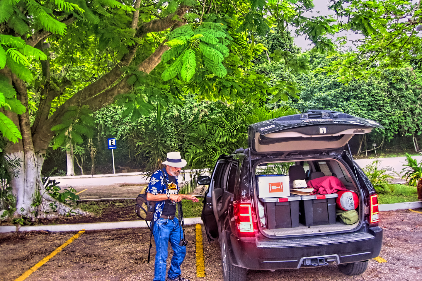
We hadn’t been quite sure where we were going after Chichén Itzá, so the night before, while hanging out in our room at the Doralba Inn, I logged into Expedia.Mx to check the availability and prices of hotels in several of the towns on the east coast of the peninsula, including Cancun, if only for comparison purposes. What I found among the listings changed everything: the Hotel One in downtown Cancun, moderately priced at $62 per night, was advertising an amenity I hadn’t seen anywhere else: free, overnight laundry service! After 11 days on the road, the notion of a full complement of clean clothes had enormous appeal, and that, all by itself, was reason enough to overlook my misgivings, and book a room smack in the middle of gringo central.
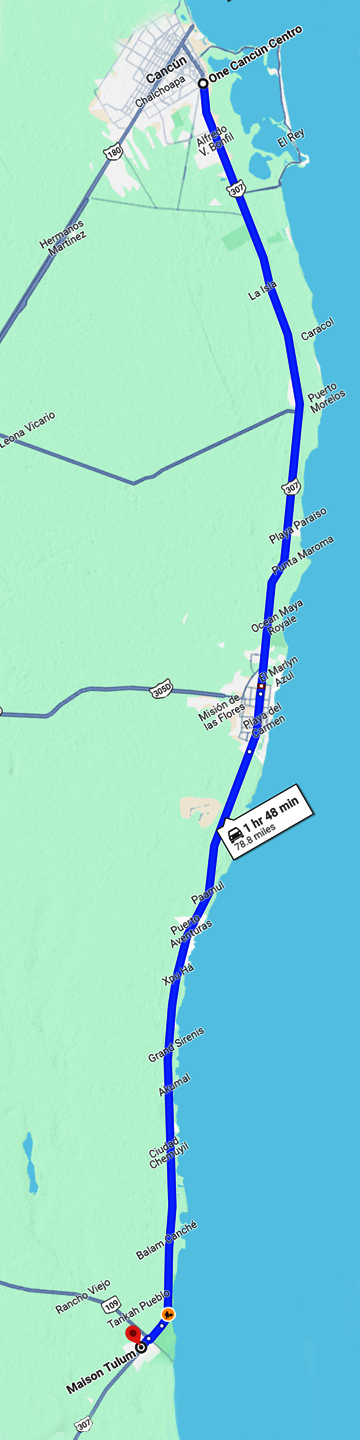
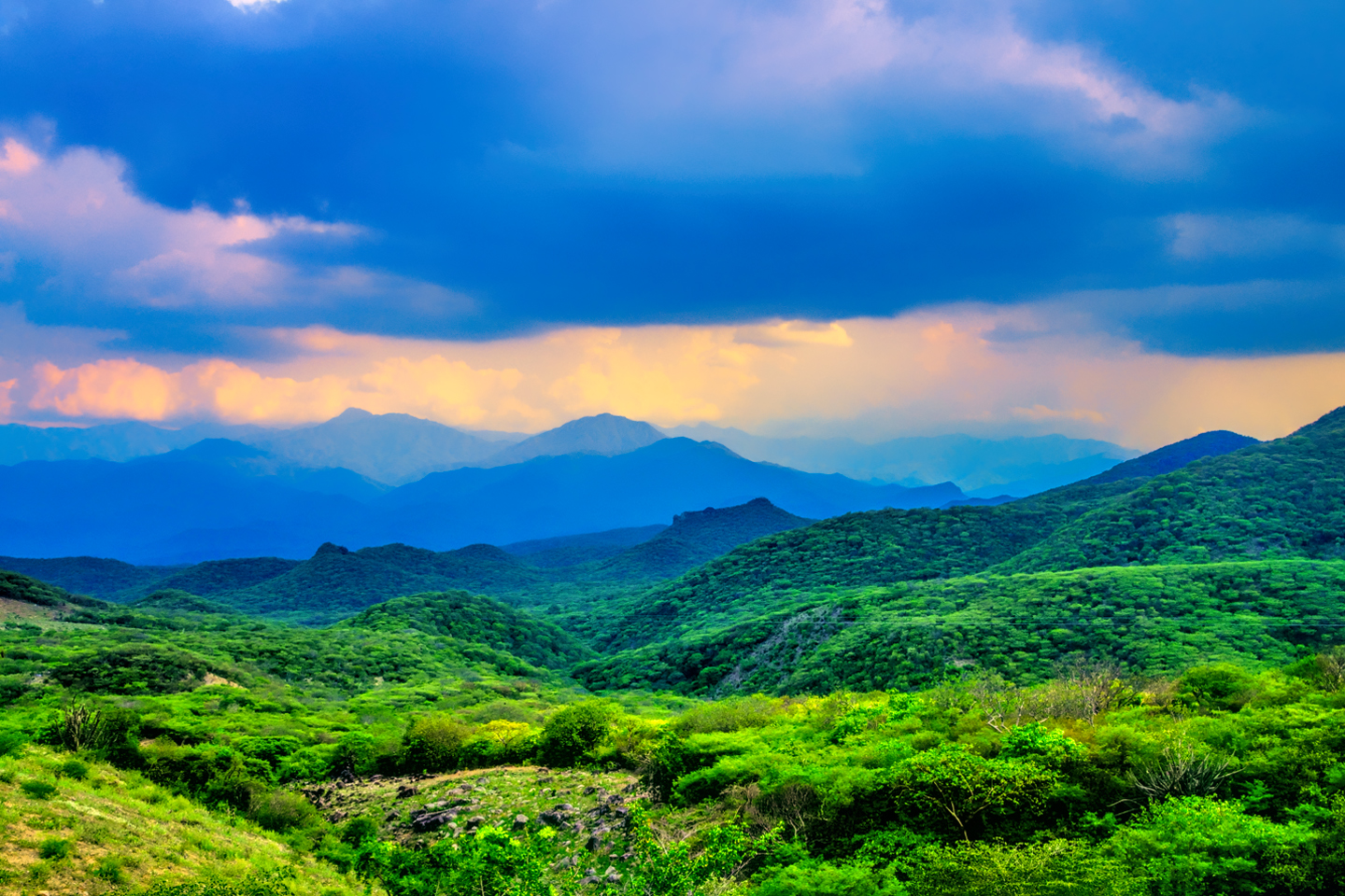
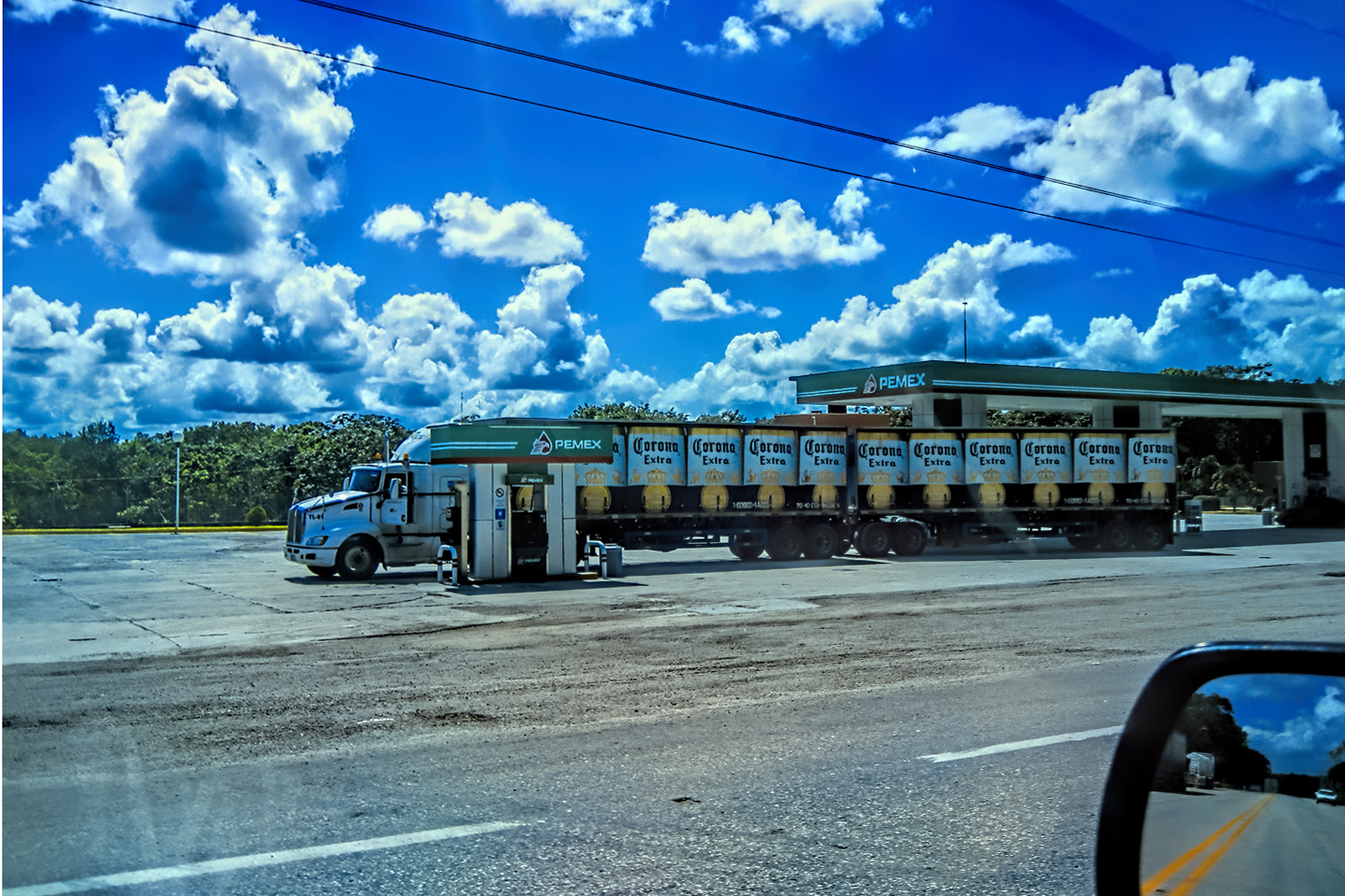
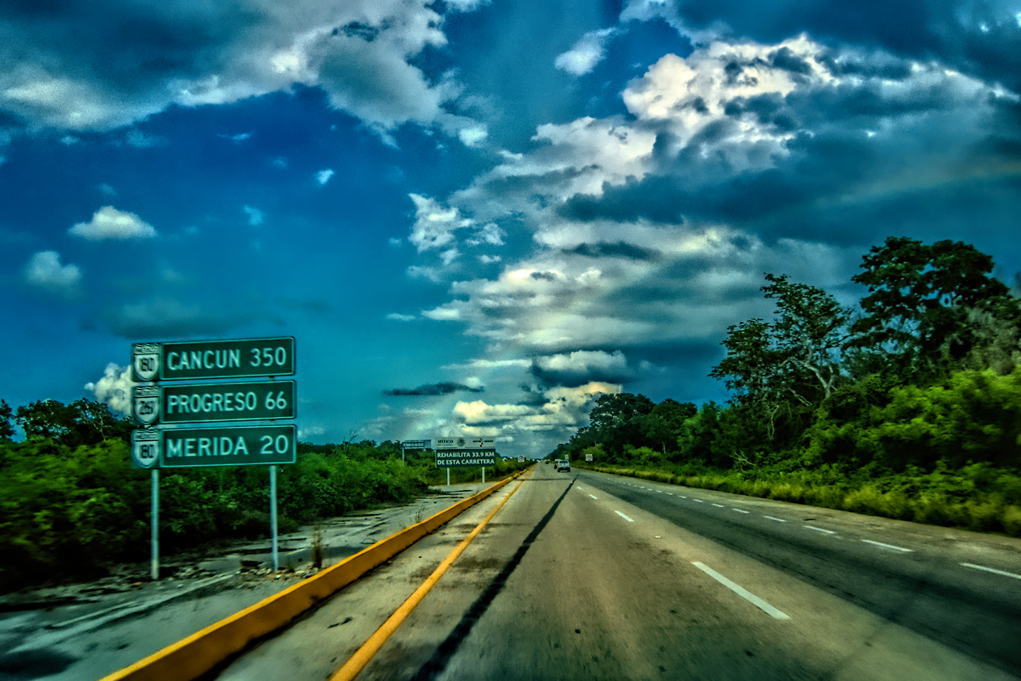
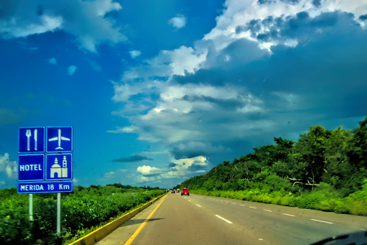
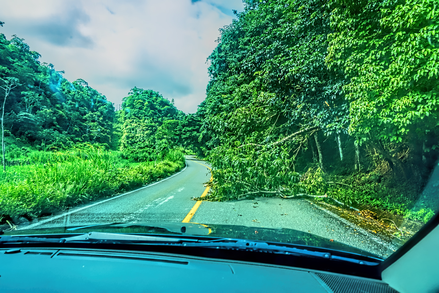
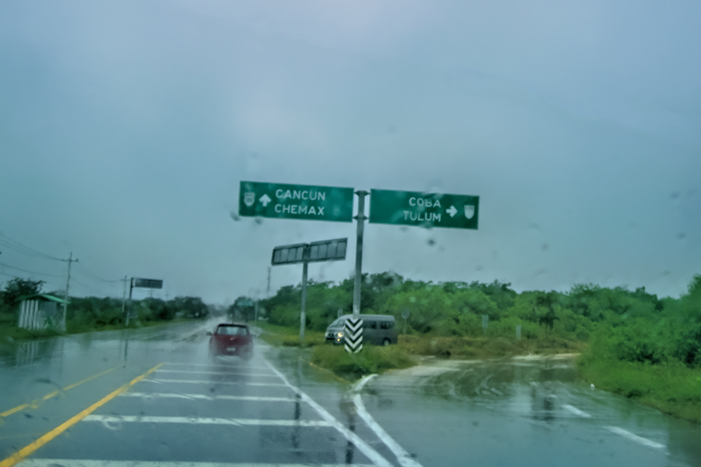
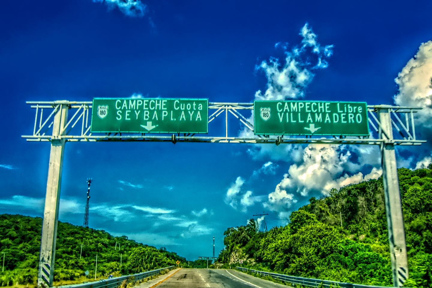
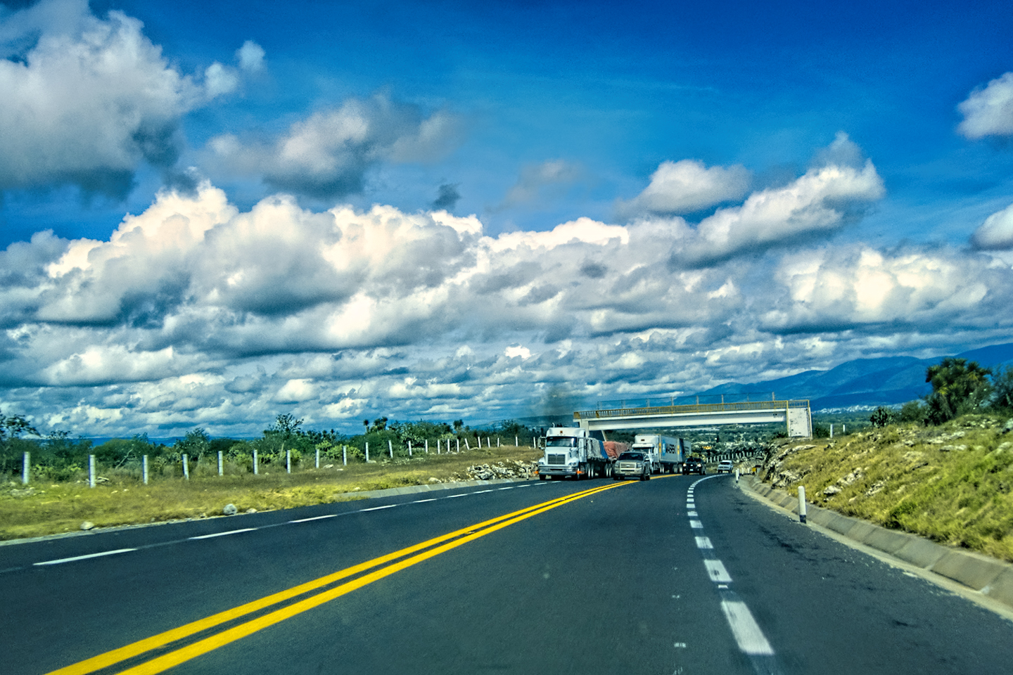
It actually felt good to have a plan for a change. We’d mapped out the route, so we knew exactly where to go, and how to get there. All we had to do was…get there! The rain clouds that had been massing along the horizon throughout our morning at Chichén Itzá had rolled overhead, and about the time we left the archaeological park, the first fat drops started falling. The timing of our visit to the ruins worked out perfectly, but our timing for the drive was lousy. We were facing 125 miles of toll road that would normally take at least two and a half hours. From the look of the sky, it was likely to pour the whole way, and that was definitely going to slow us down.
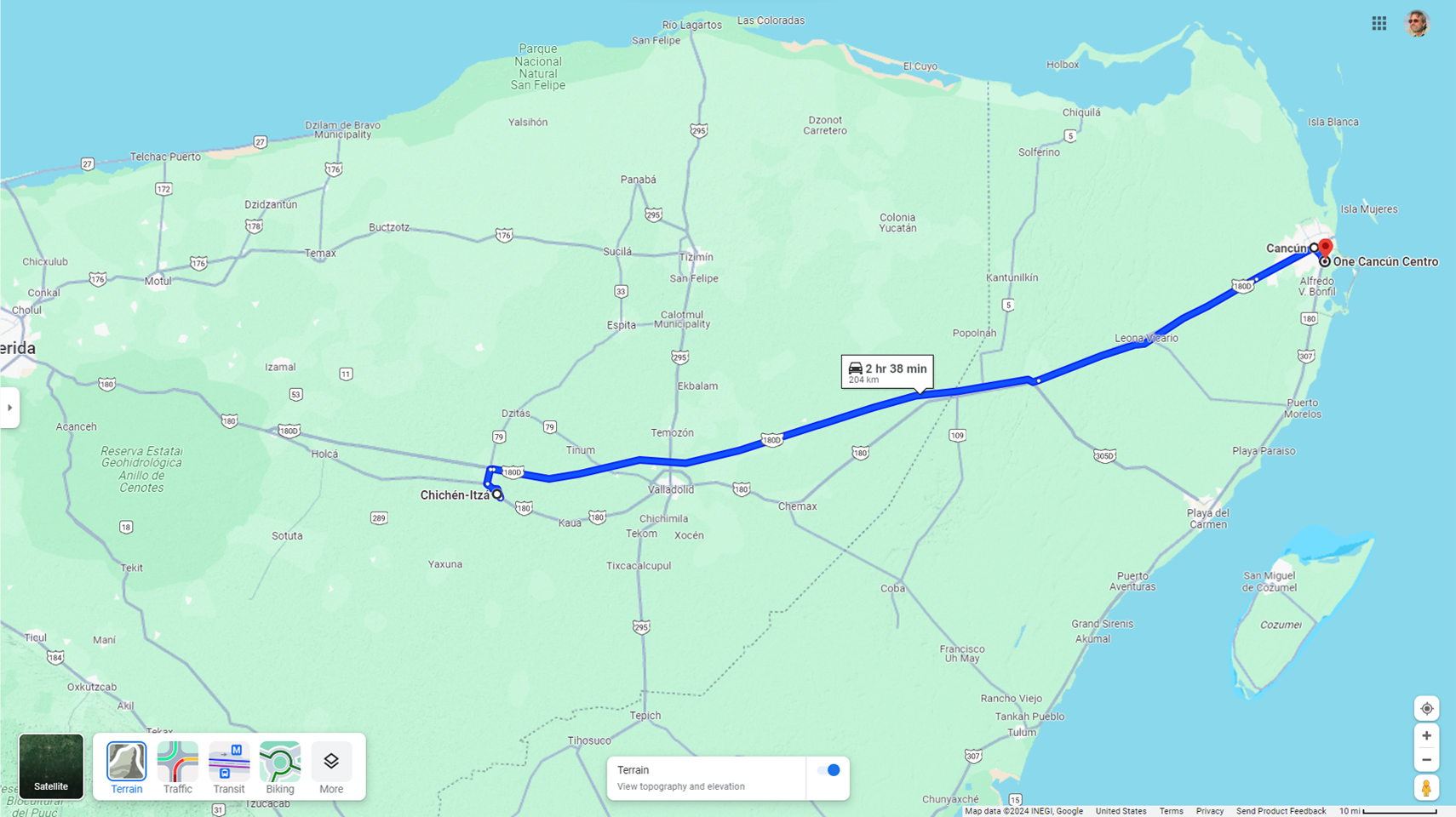
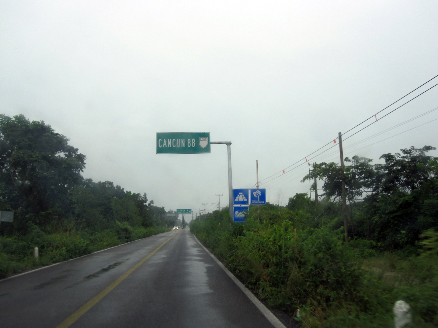
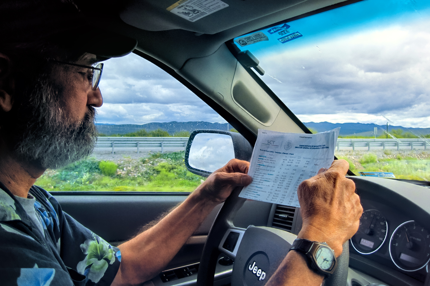
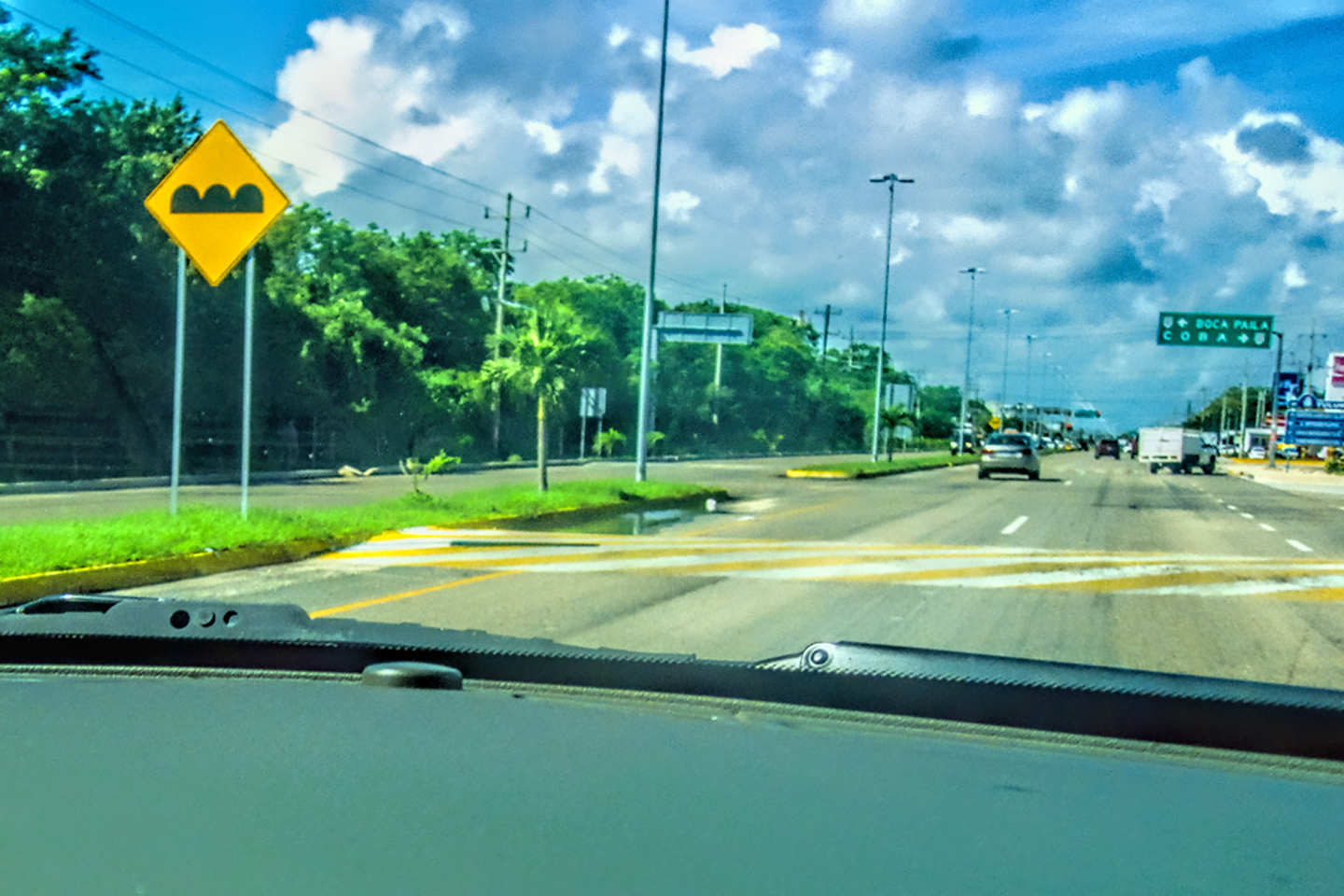
MX 180D, toll road from Chichén Itzá to Cancun
CLICK MAPS AND PHOTOS TO EXPAND
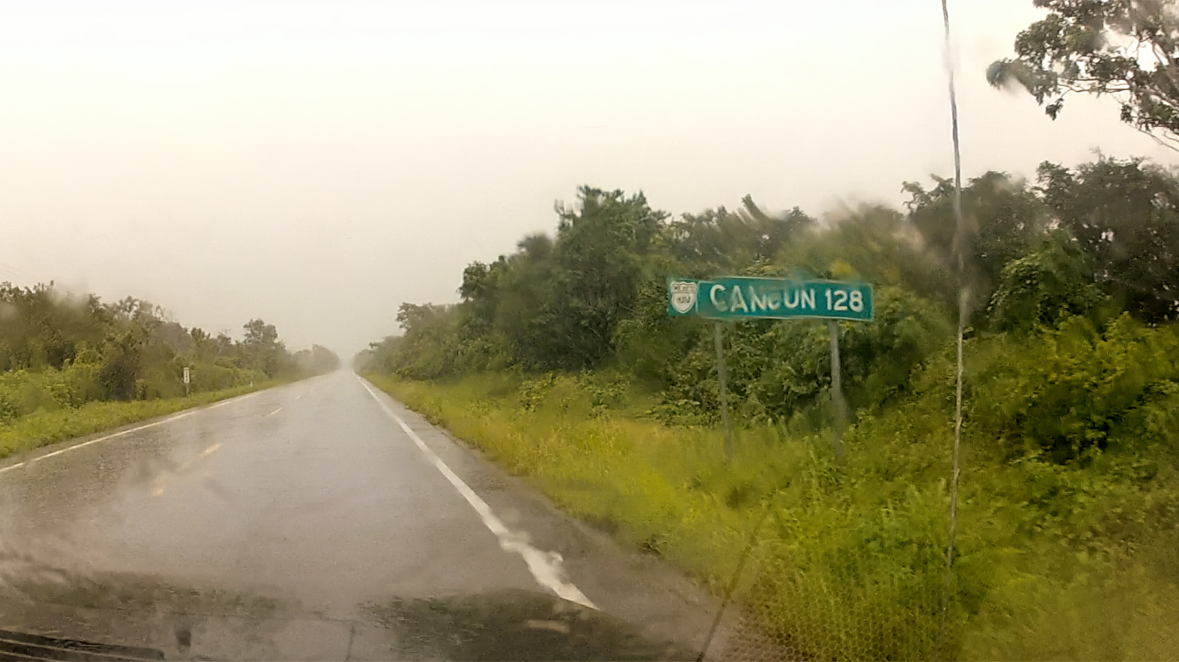
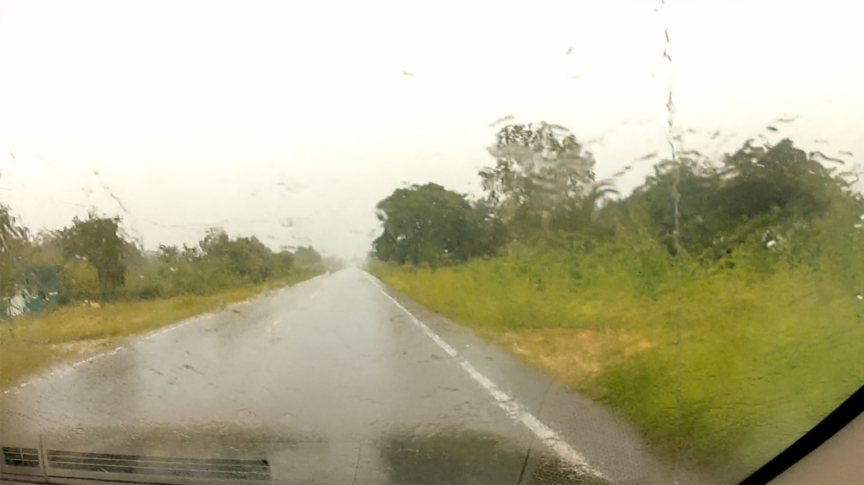
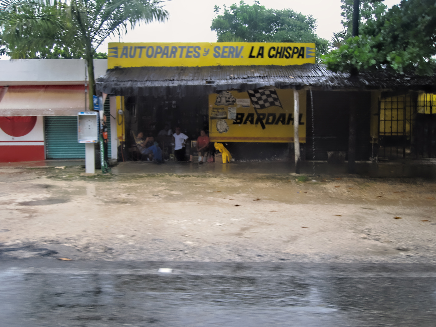
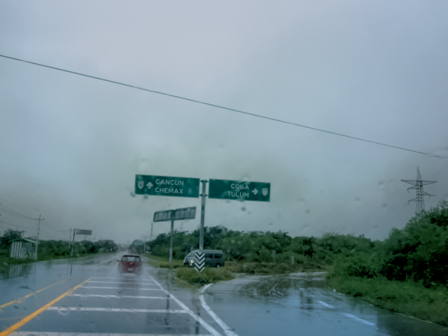
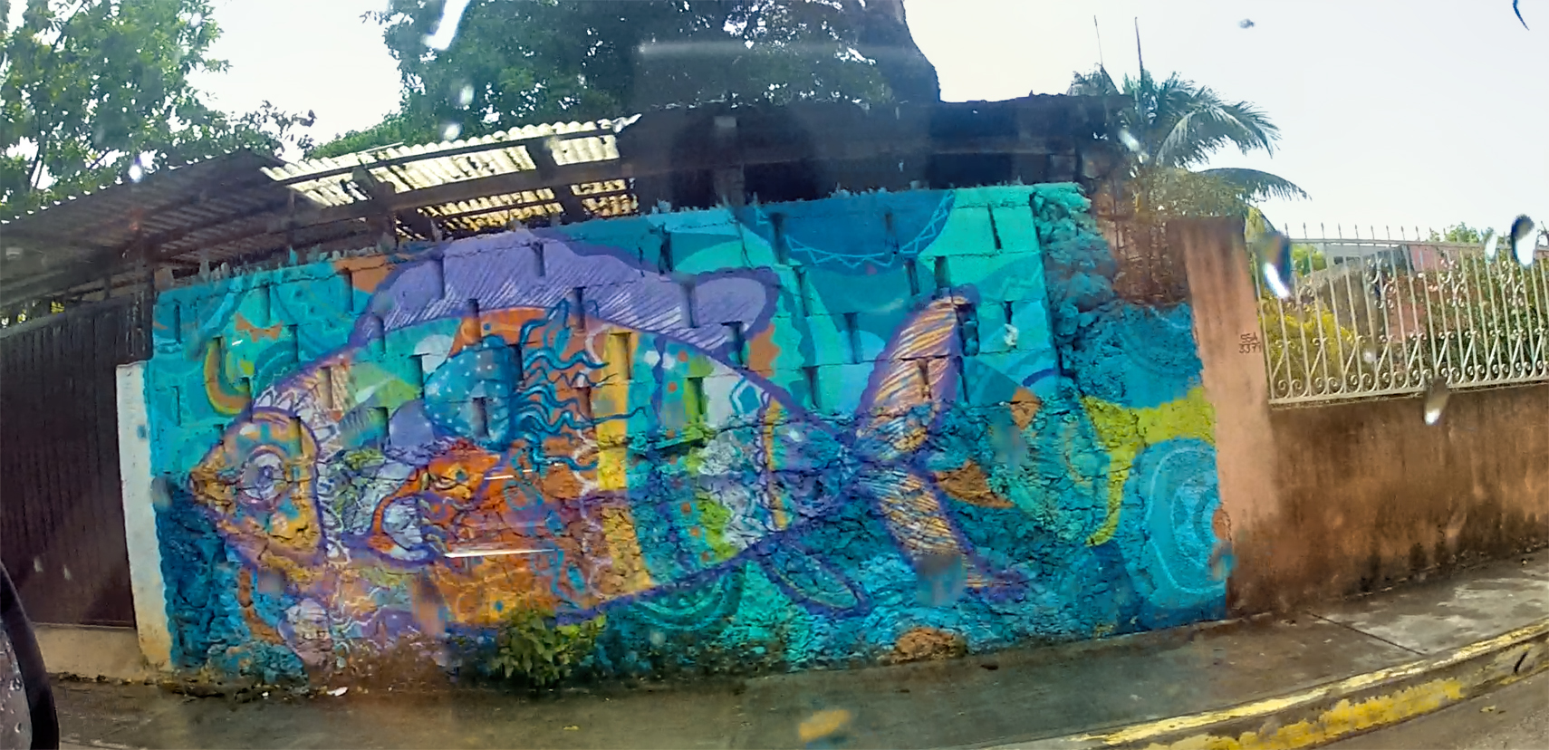
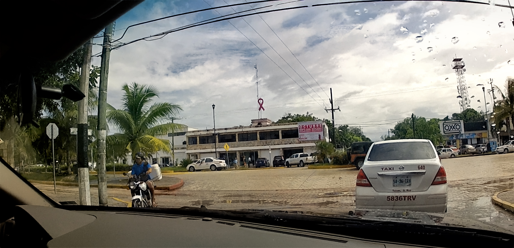
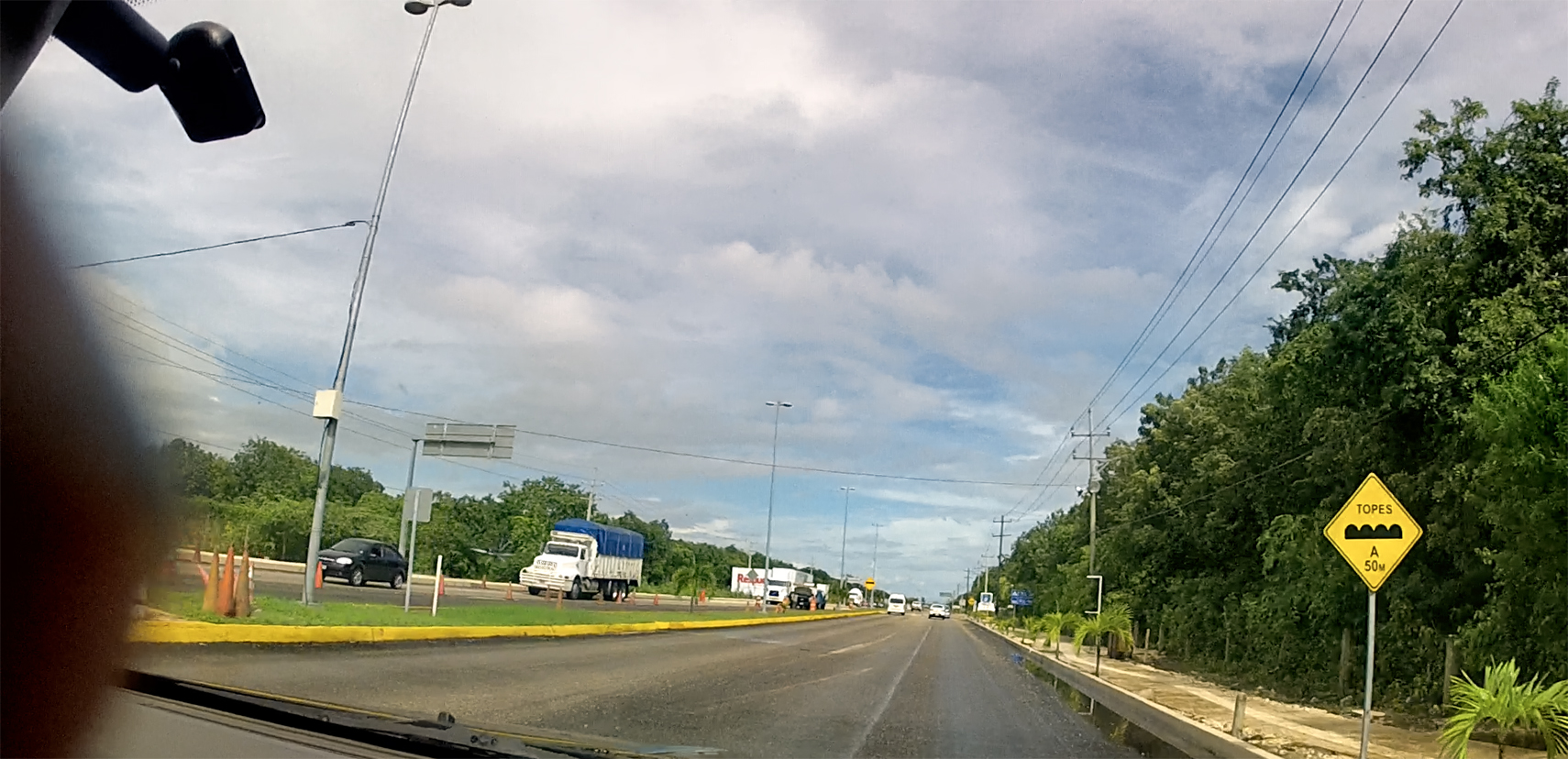
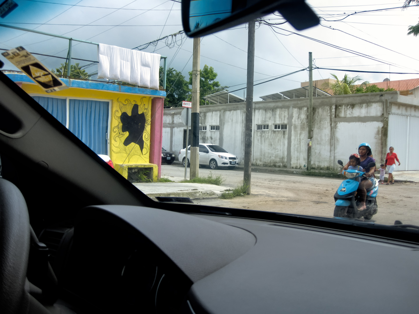
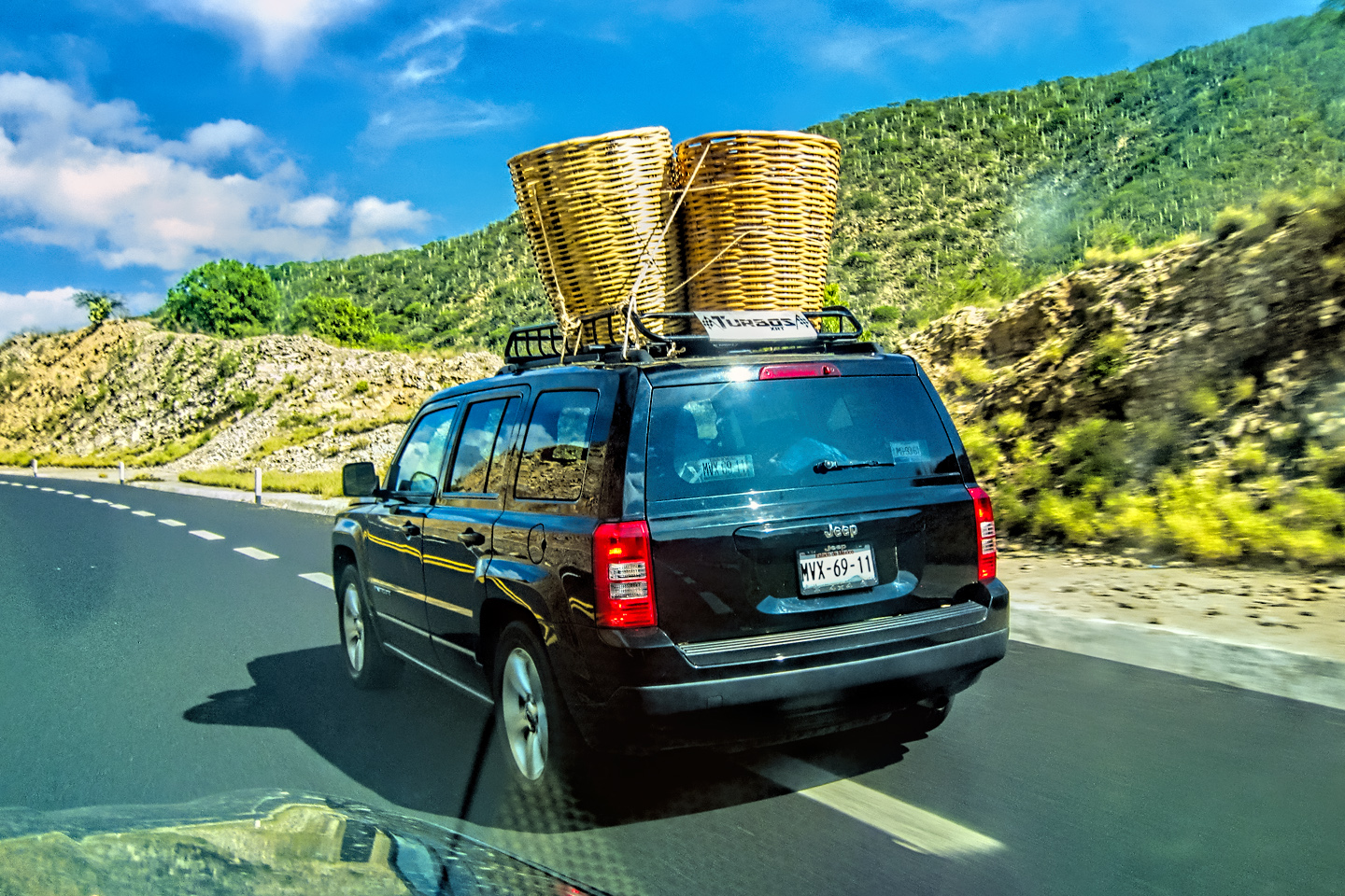
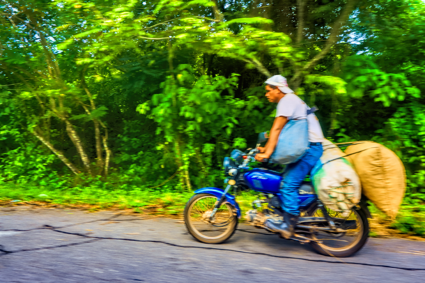
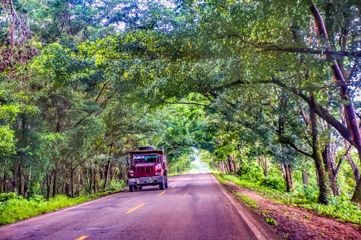
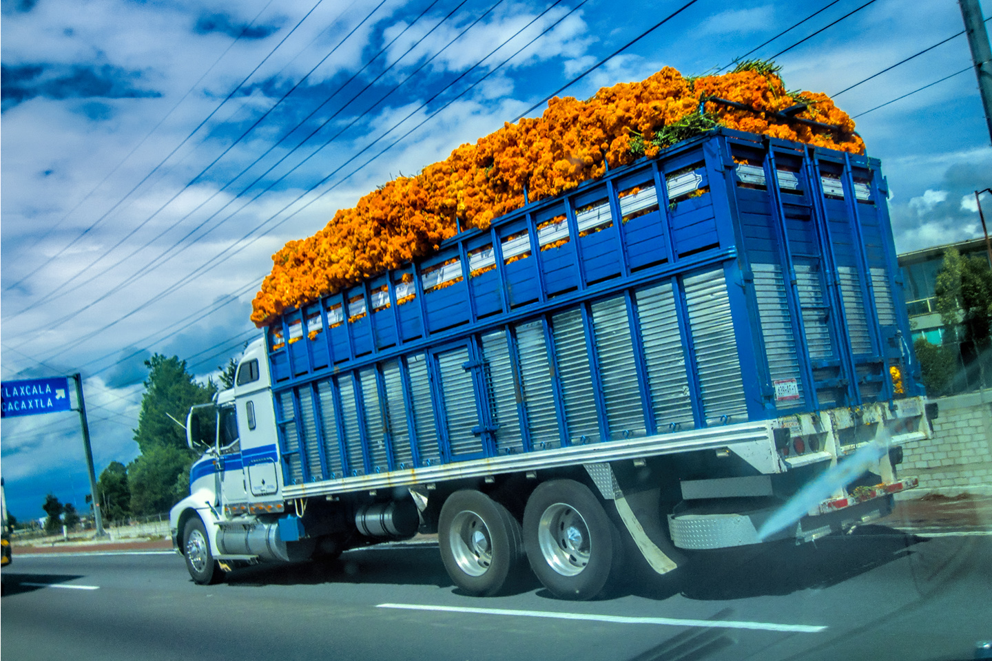
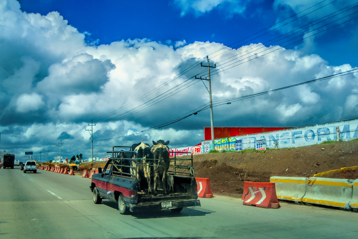
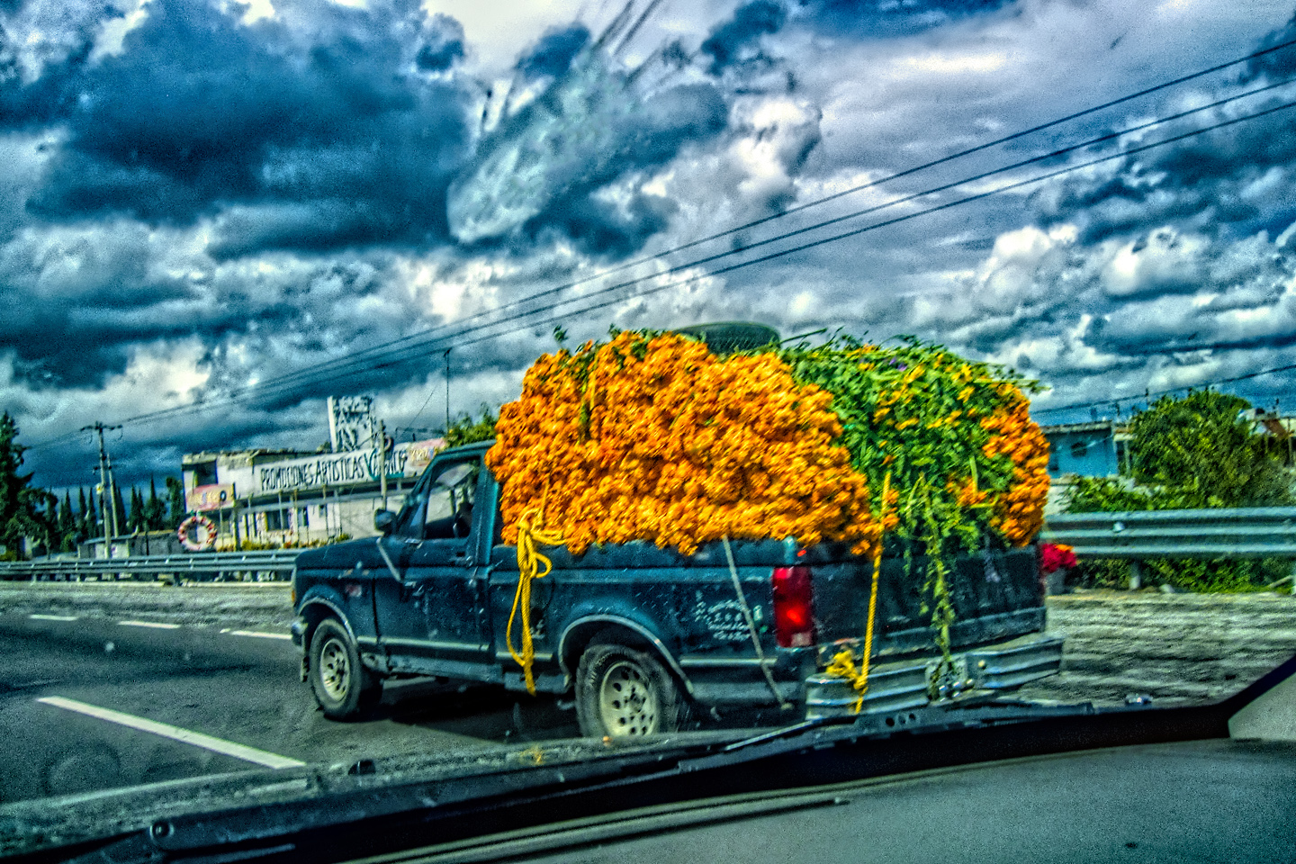
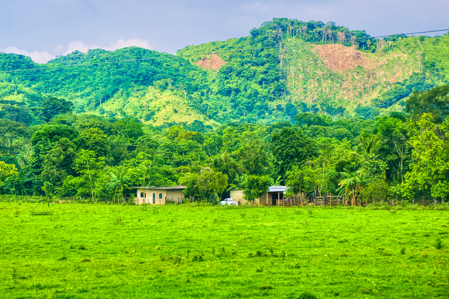
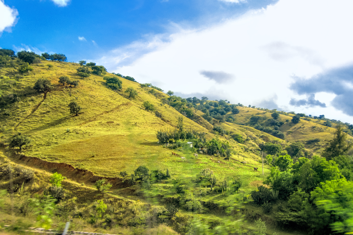
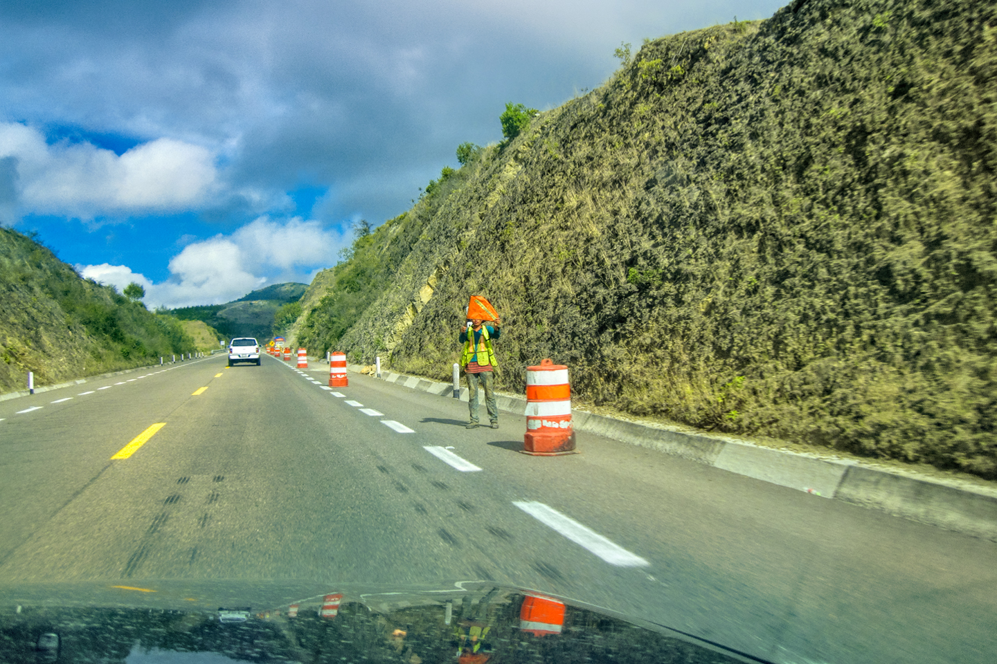
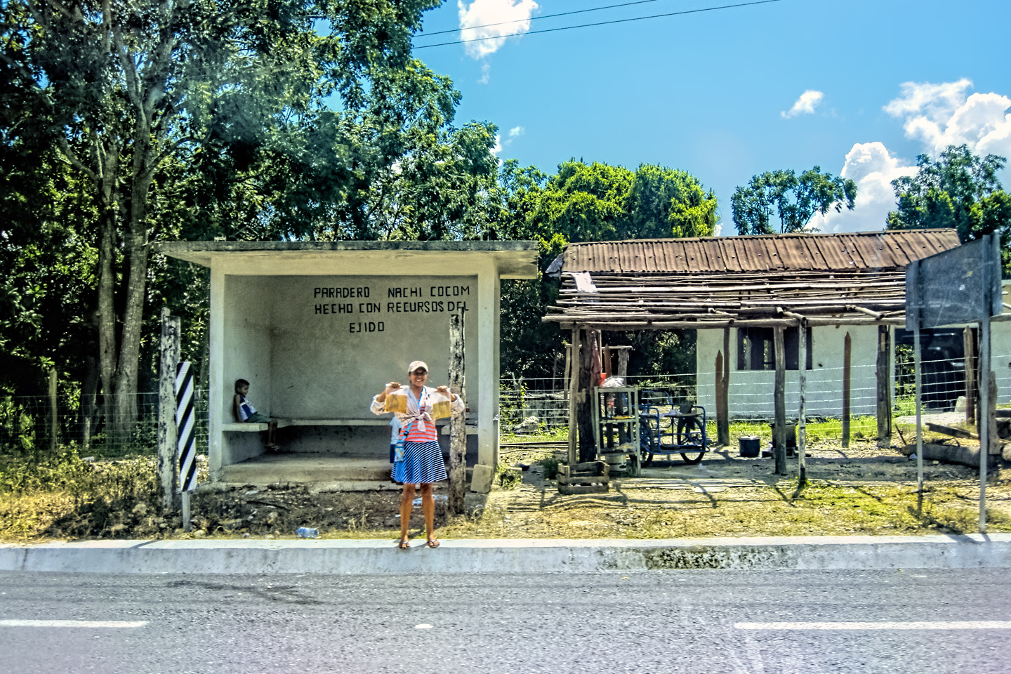
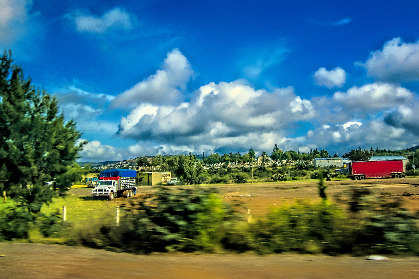
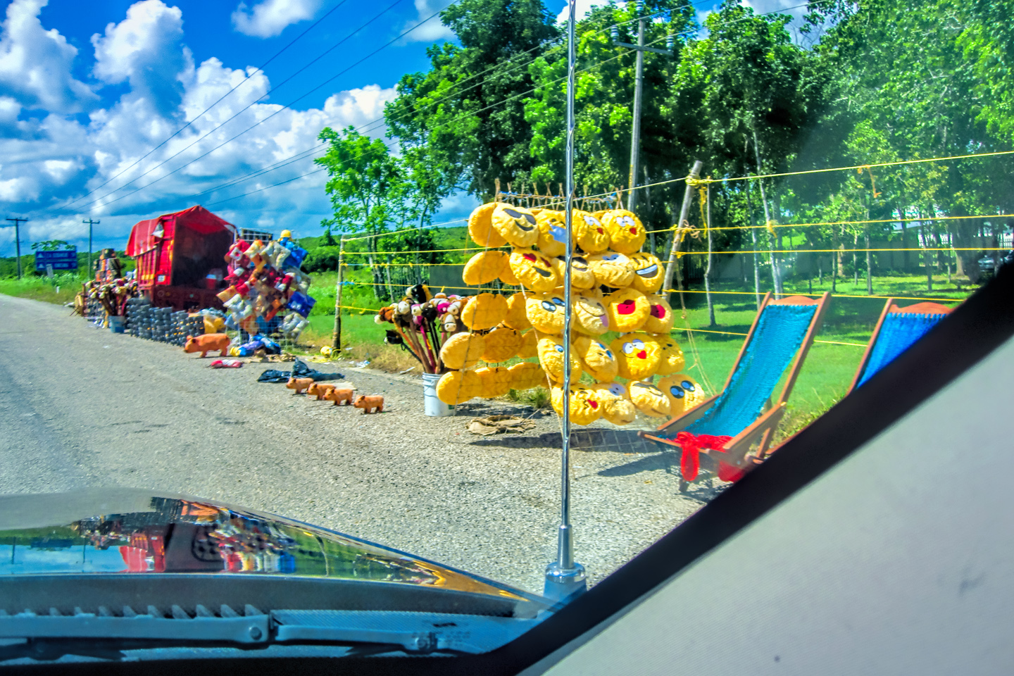
Scenes along the road, on a rain-soaked drive to Cancun
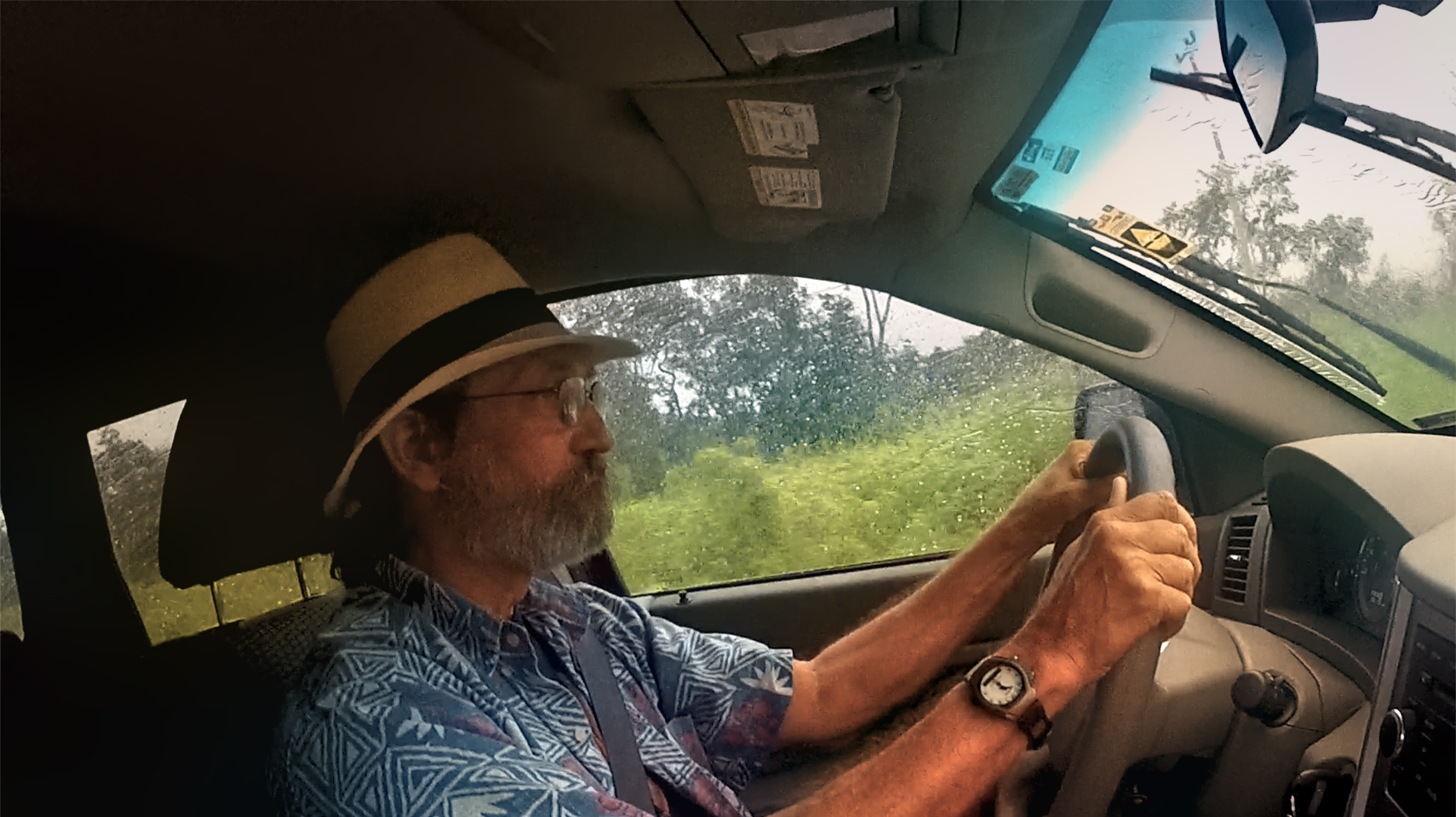
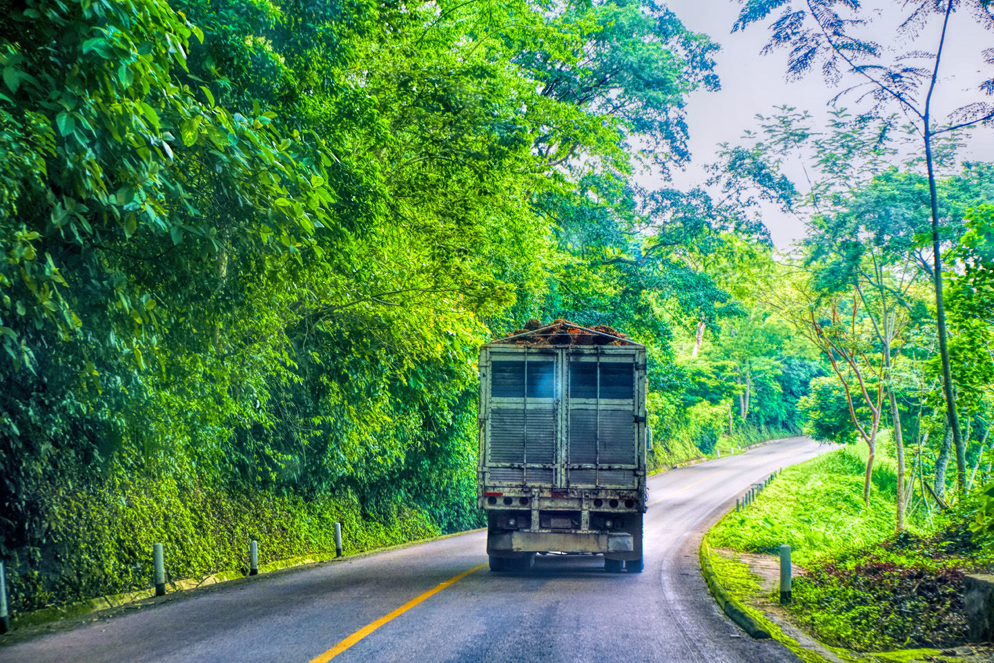
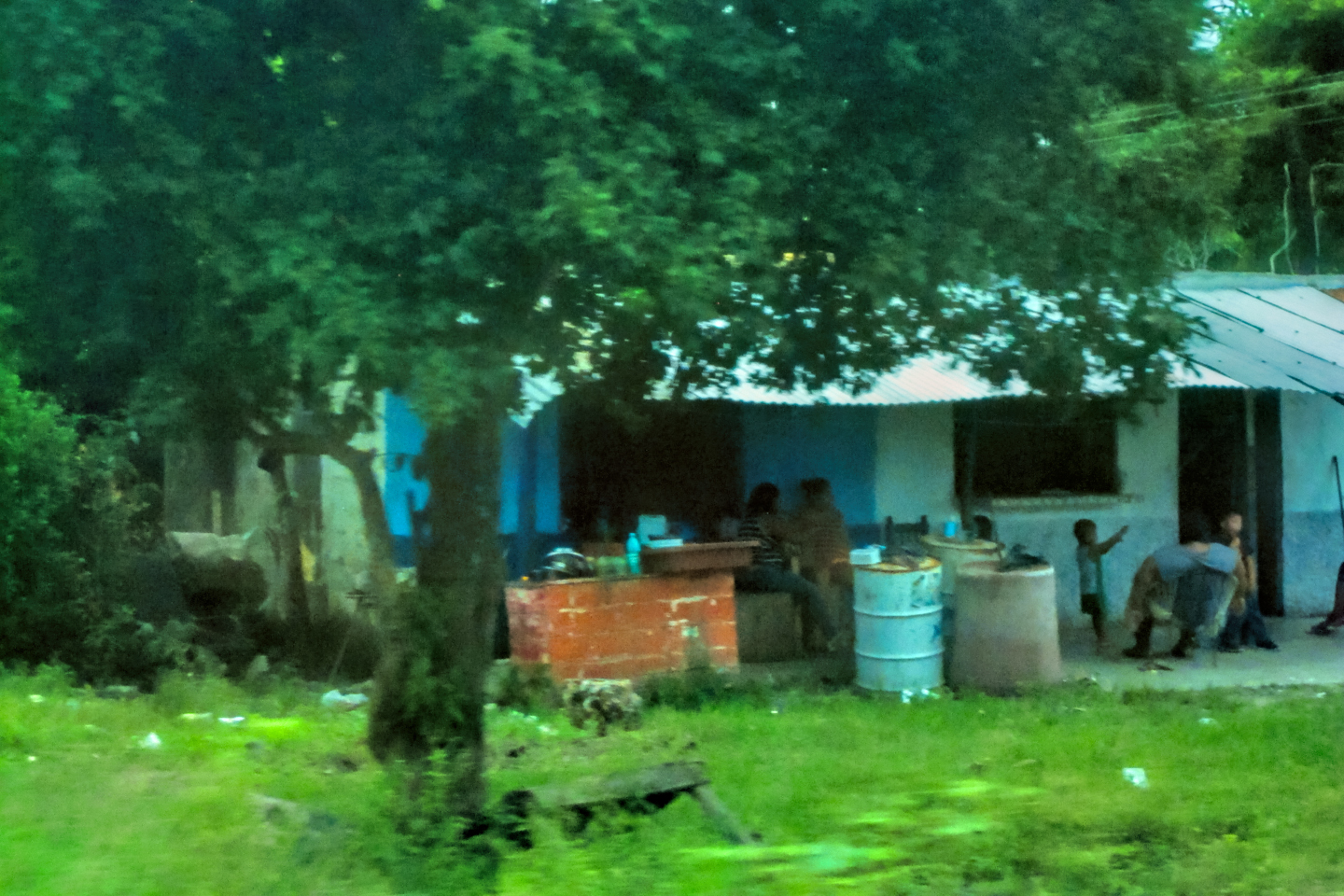
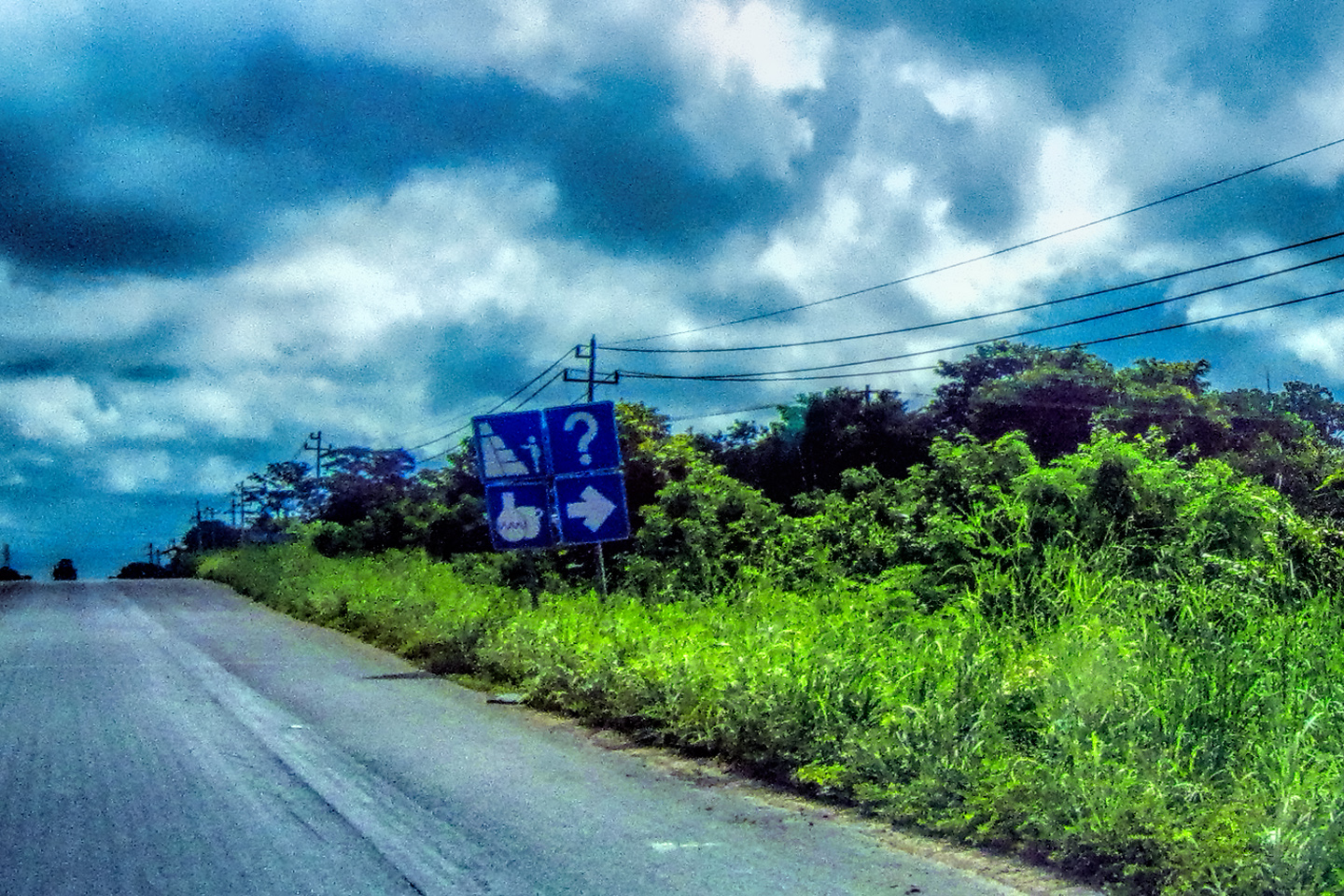
It was the kind of rain that windshield wipers can barely keep up with, even at their fastest speed; the kind of drive where you keep one eye glued to the white line, and white knuckles wrapped tight around the steering wheel for mile after intensely focused mile. Water accumulated on the roadway faster than it drained off, creating a dangerously slick surface, where any abrupt maneuver can lead to loss of control (hydroplaning), almost as bad as black ice. I was beyond thankful for my Jeep’s legendary traction, and my all weather, all terrain tires.
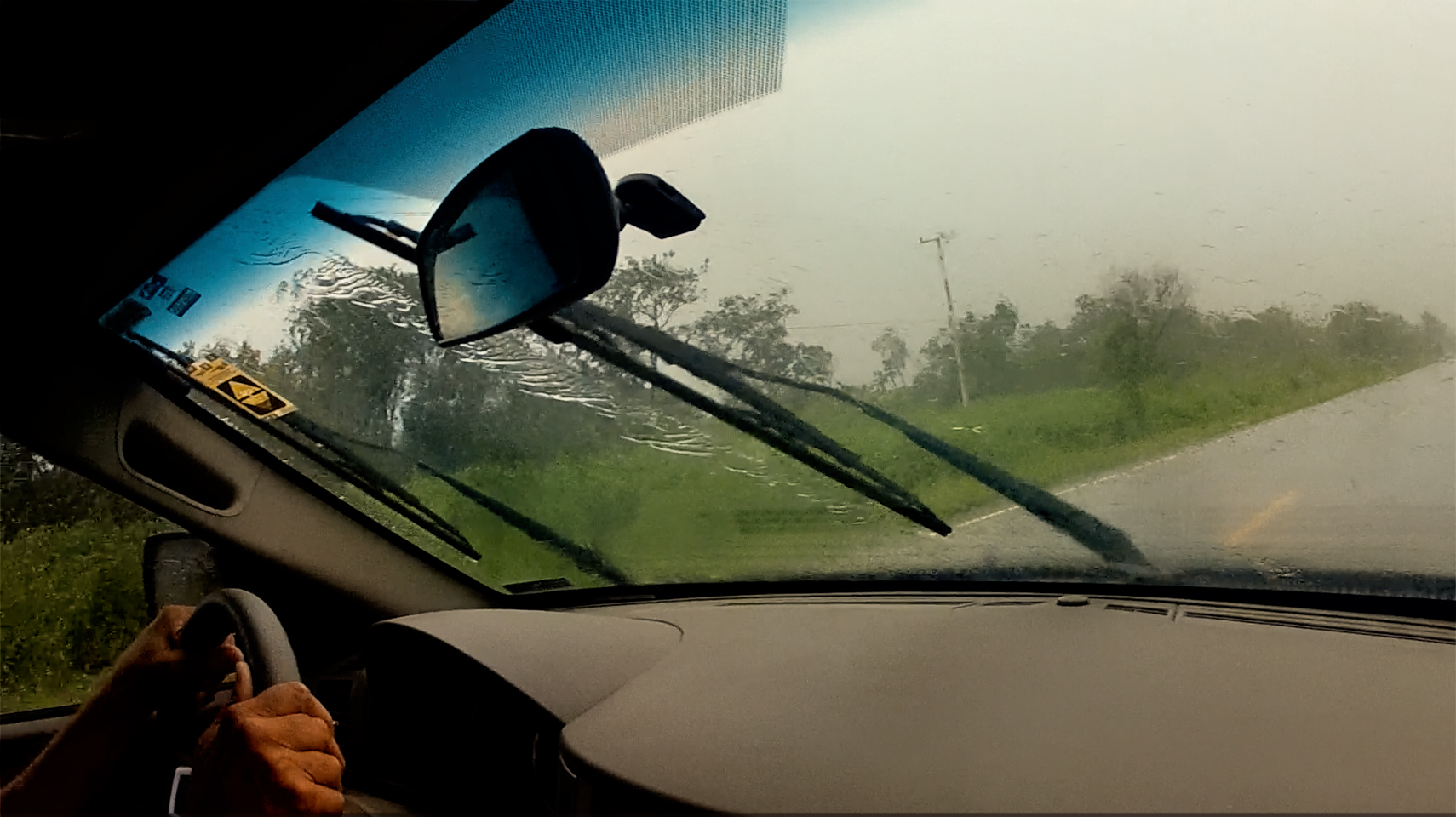
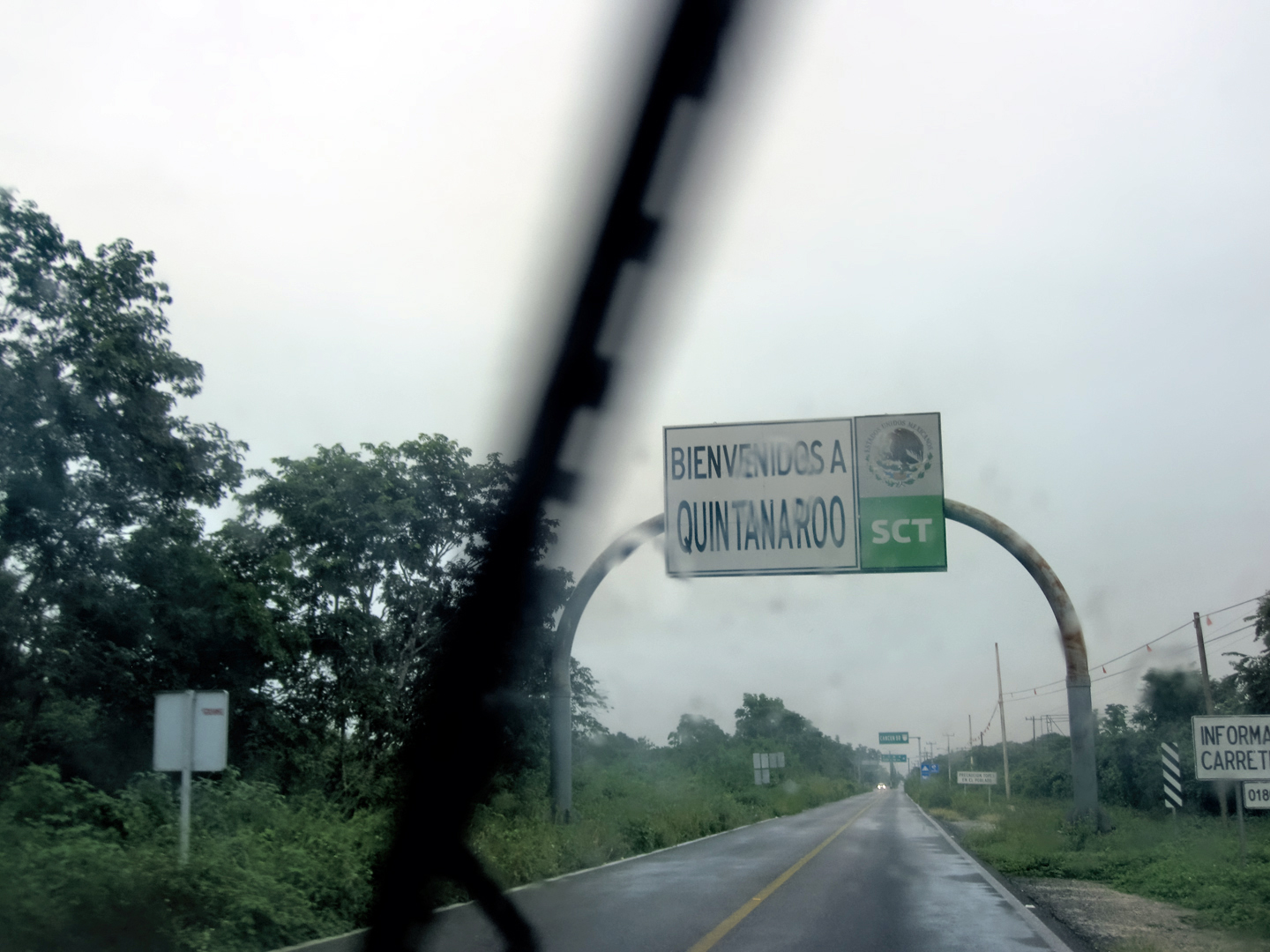
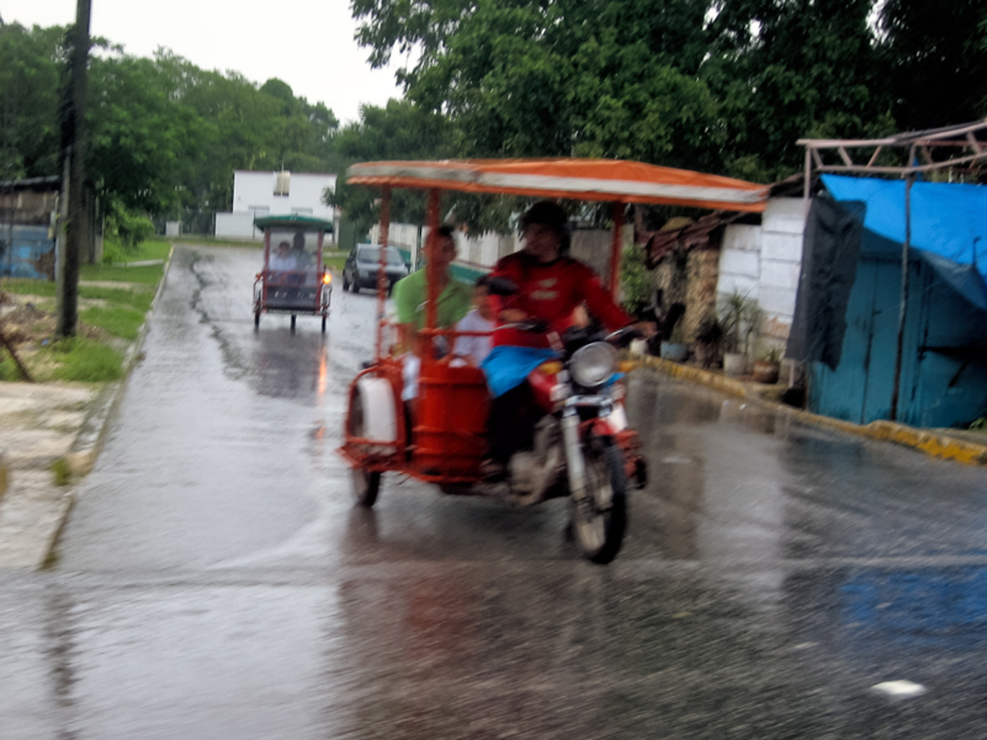
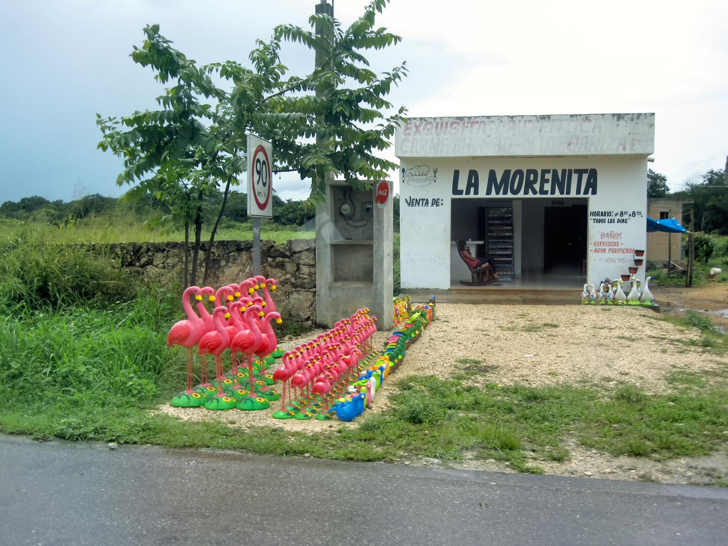
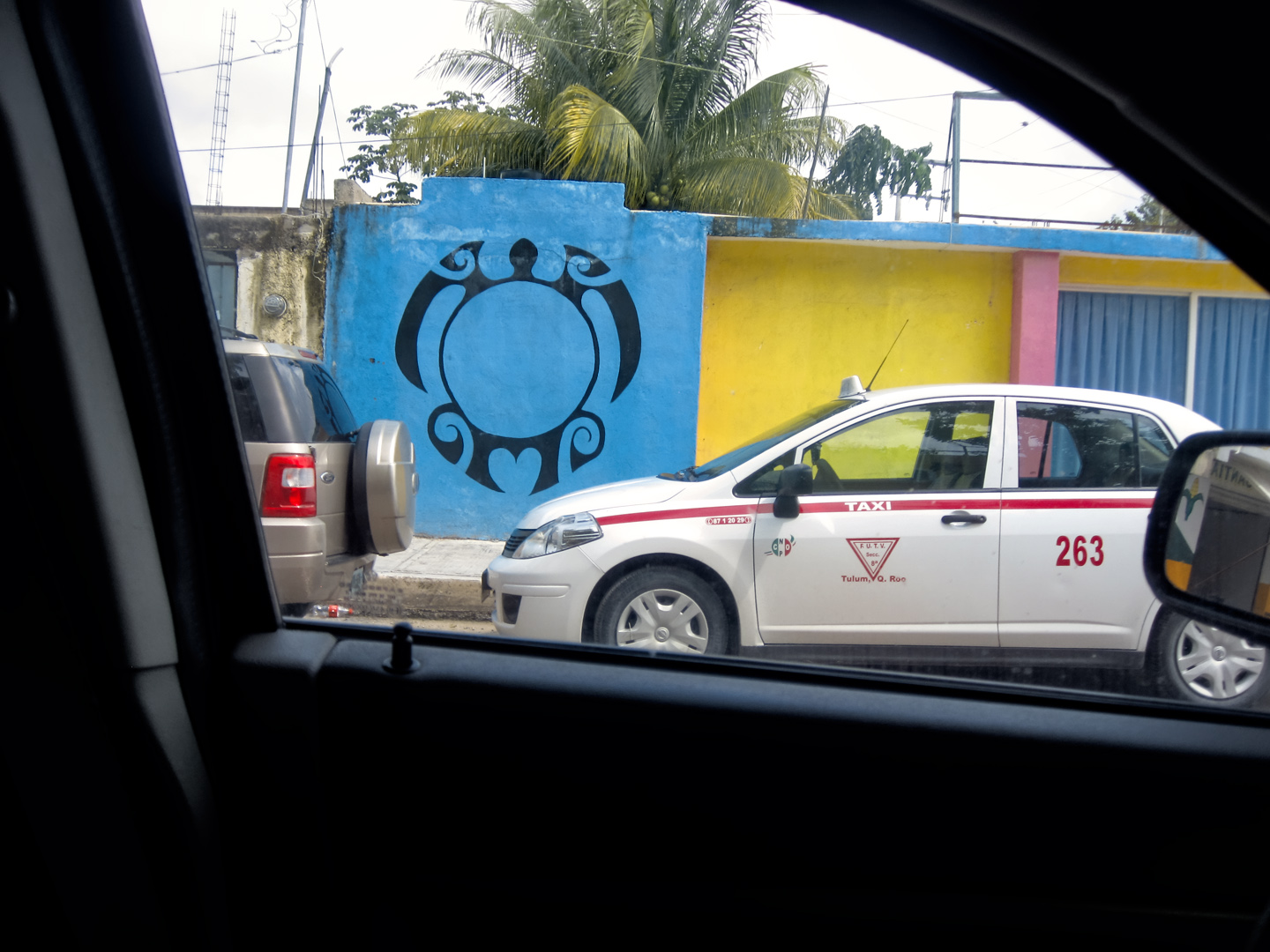
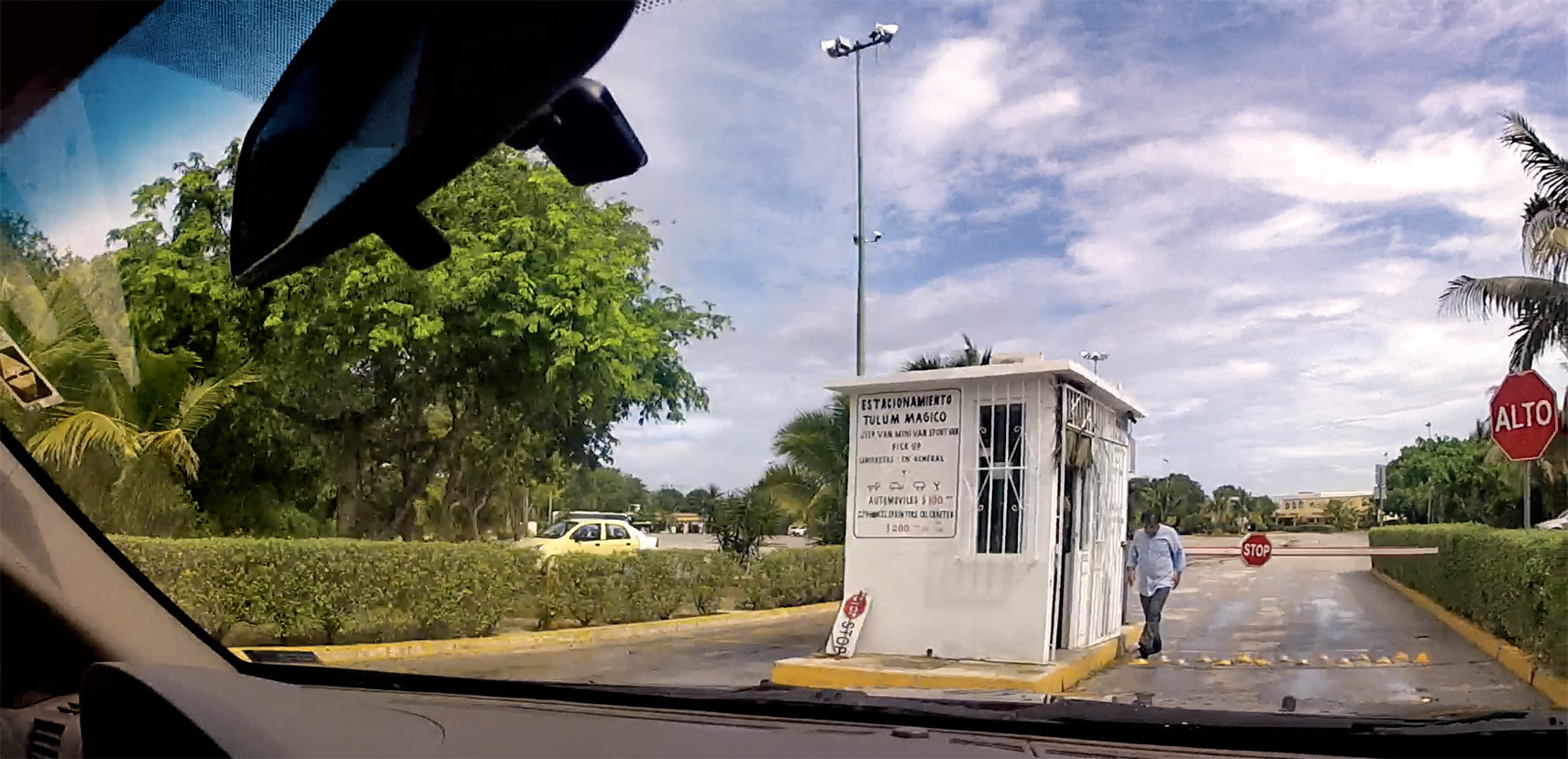
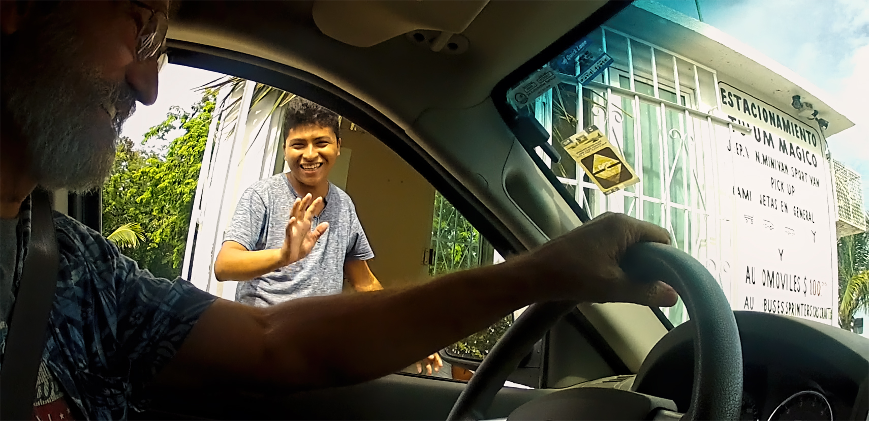
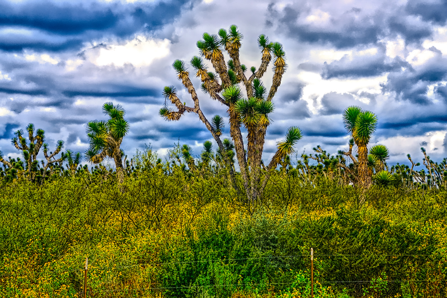
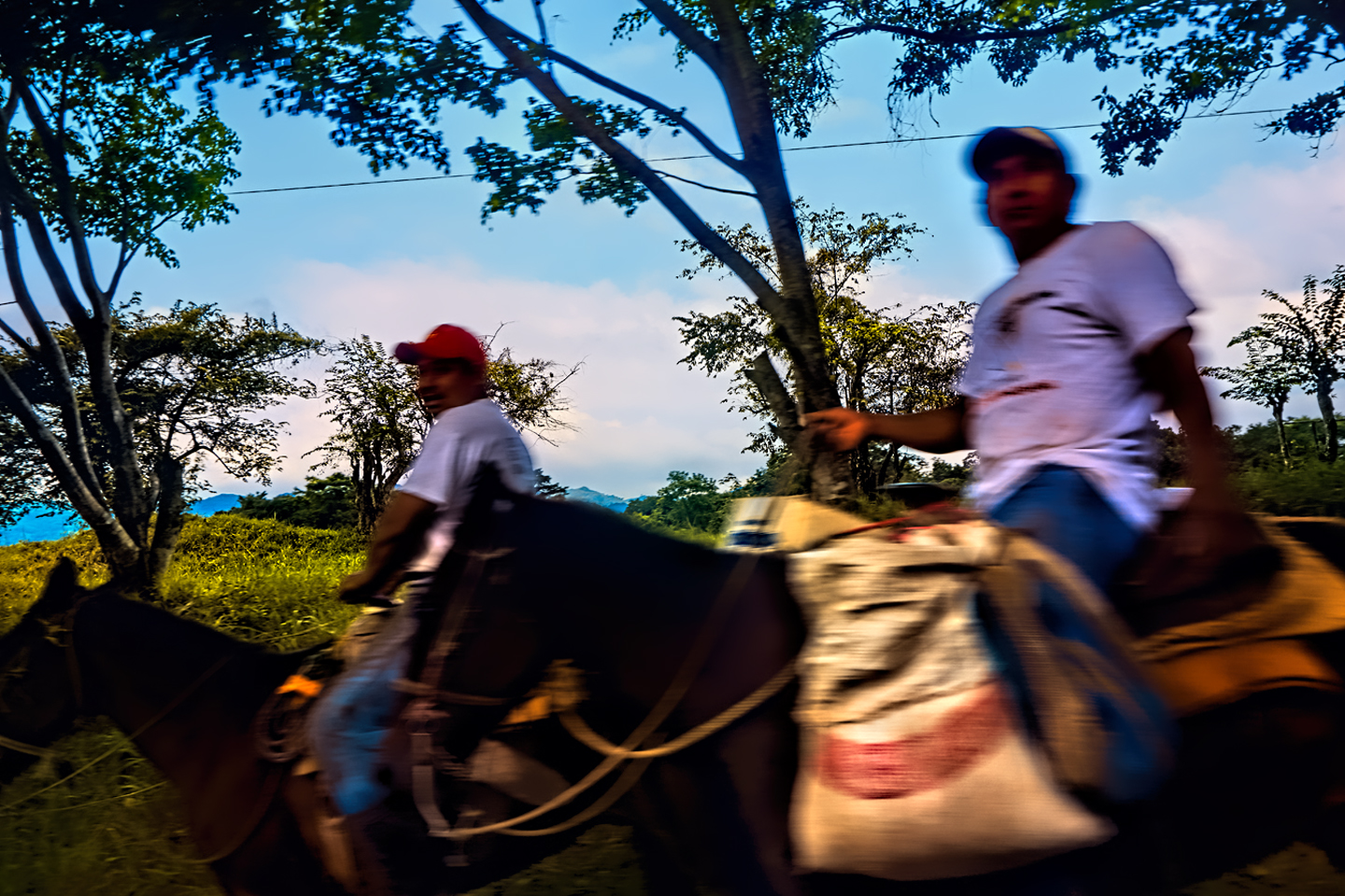
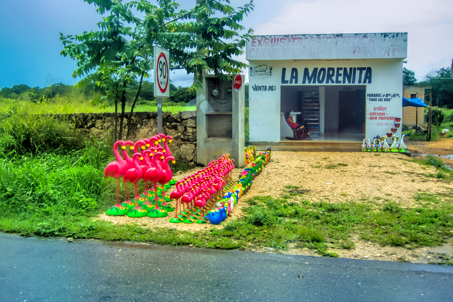
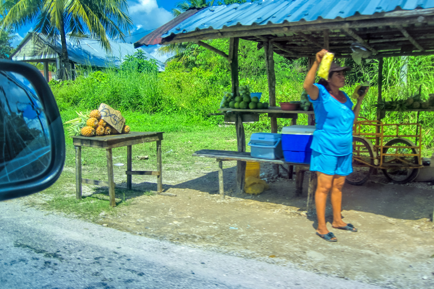
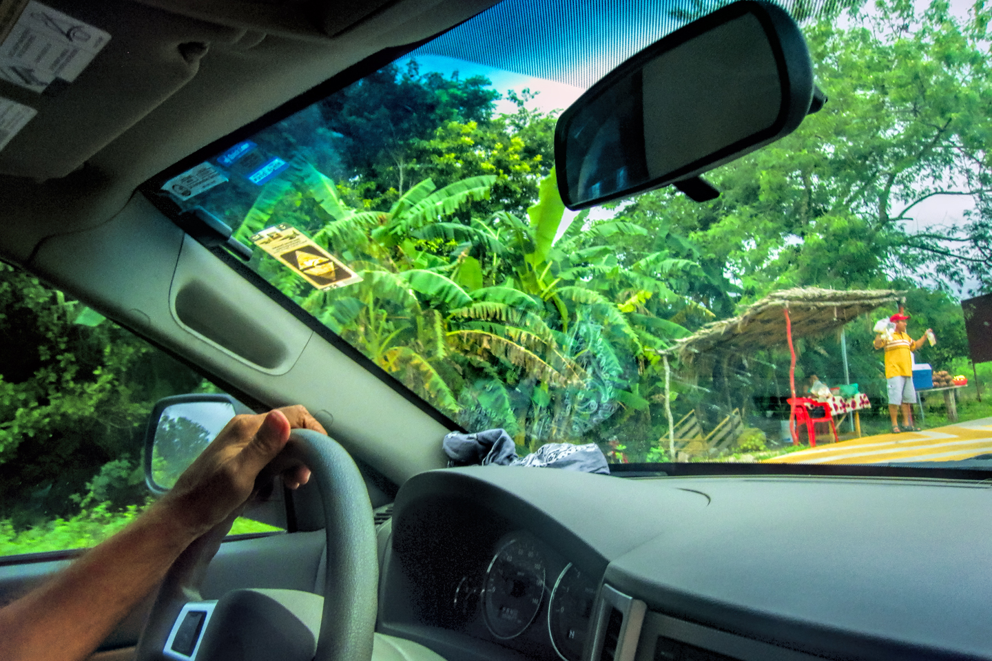
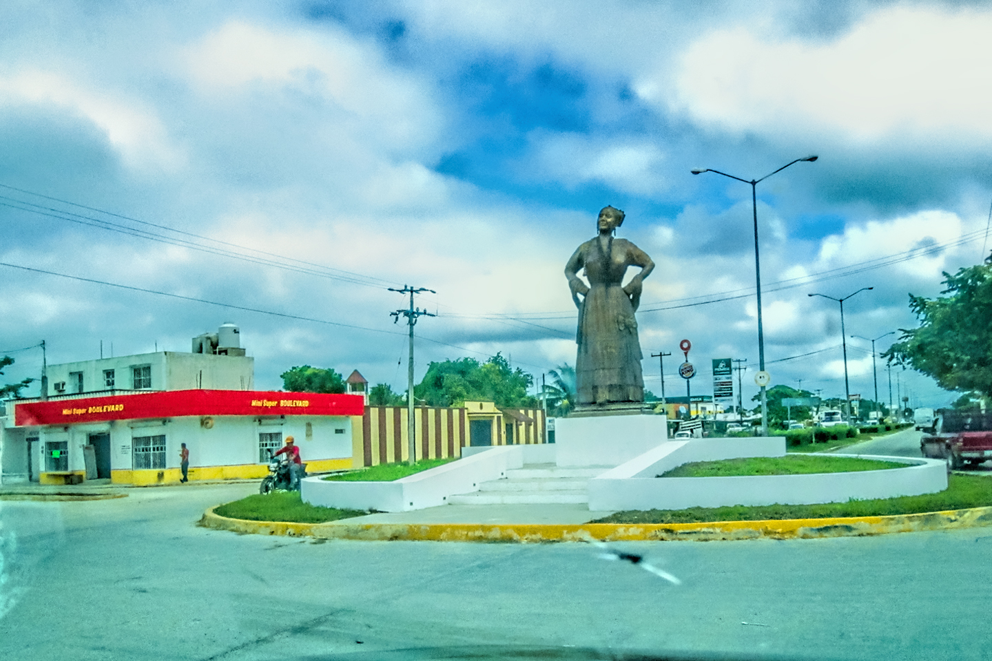
We didn’t get to enjoy the scenery along this stretch, but there wouldn’t have been much to see, even on a clear day. There were no towns visible from the highway, and few signs of civilization, not until we crossed the border into the state of Quintana Roo, and got closer to Cancun. We passed one roadside business selling pink plastic flamingoes, in several sizes, all lined up in rows, and we dodged motorcycles being used as rickshaws, transporting passengers down the rain-soaked highways. When we arrived in Cancun, the streets were clogged with those moto-taxis, along with a bazillion regular taxi cabs. We spotted our high rise hotel easily enough, and drove straight to it.
Scenes along the road to Cancun
We checked in, dropped off our dirty clothes, then headed back out to find a restaurant. That’s when the rain abruptly intensified into a true tropical downpour, roaring down in sheets! There was no food at the hotel, and we were starving, so I said “screw it,” (or words to that effect), and off we went, into the breech! We only drove maybe two blocks, plowing through water in the streets all the way up to our axles. There was a surprising amount of traffic, though several smaller vehicles, mostly taxi cabs, were stalled alongside the road, engines flooded by rainwater that was running from curb to curb, overwhelming the storm drains. I don’t remember our meal that night, don’t really remember the restaurant, but I definitely remember that drive through Cancun’s flooded downtown streets!

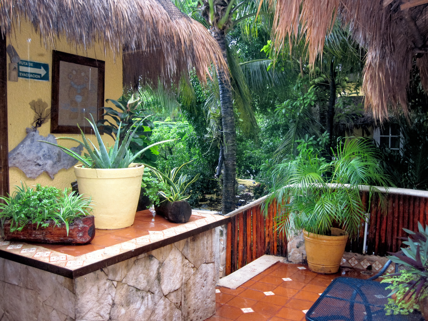
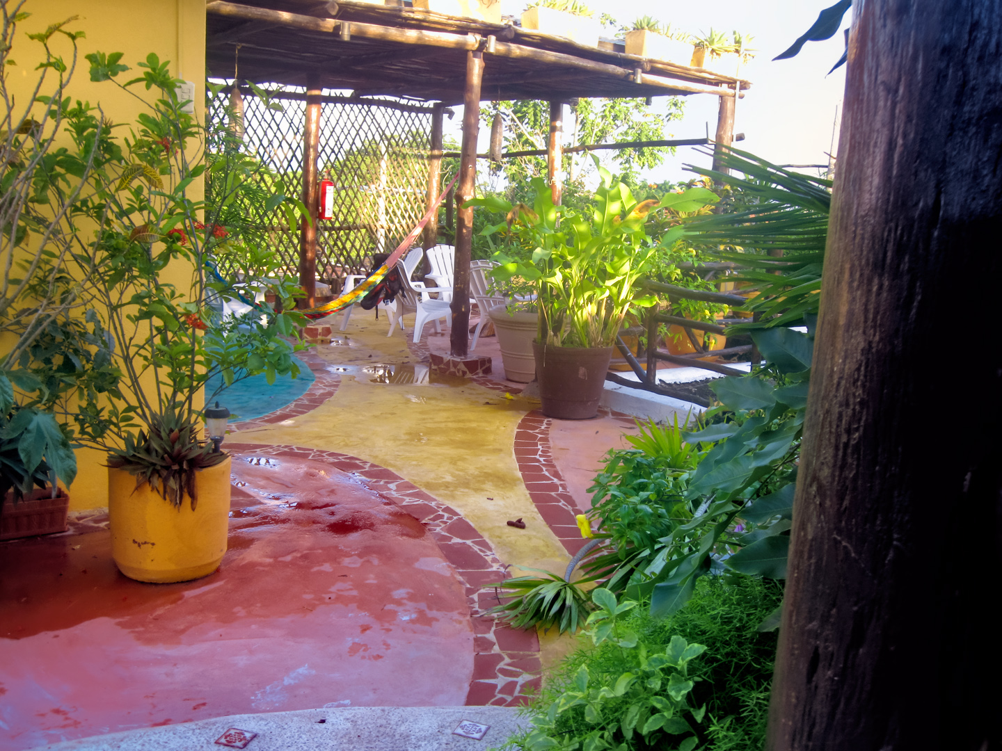
One Hotel, Cancun (our port in the storm–with free laundry!)

The weather became a major concern, if only for the next few days. There were more storms coming in from the Atlantic, and there was also a powerful hurricane bearing down on the Pacific Coast. There were fears that the systems would collide over Central Mexico and combine to form something seriously dangerous. I remember remarking to Mike about the mixed blessing of the information age. Everywhere we went, there were televisions tuned to weather reports warning the citizenry about the potential “super storm,” and being on a road trip, we couldn’t help but worry about it. There was a strong potential for washed-out highways (or worse), and for more disasters like what happened in Chetumal. We could be left stranded, or forced to alter our route, perhaps dramatically. After several days of being told by all the televisions and newspapers that the sky was about to fall, the hurricane surprised everyone by veering north. The “super storm” never happened, so all our worry was (thankfully) for nothing. In the old days, it’s doubtful that we would have heard a word about any of it until after it was over (if then). There was so much less media when we were younger, it was easy to avoid, especially outside the U.S.. Chances are, we would have been blissfully oblivious, and none the worse off for it.
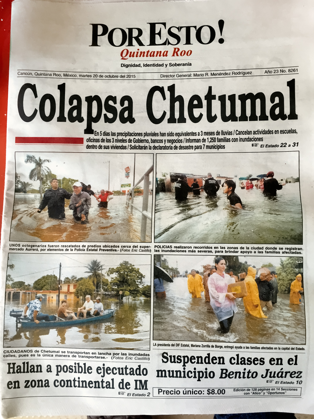
Por Esto! Local newspaper with a story about the storm
The same weather system devastated the nearby city of Chetumal, further south along the coast, where they’d endured five straight days of heavy rain. This newspaper (above) tells a horrifying story of destructive flooding. If we had been going on into Belize, as we originally intended, Chetumal would have been our border crossing point, so it was just as well that we’d changed our plans!
DAY 12: Cruising the Riviera Maya
Over breakfast the next morning, Mike and I talked about how different Cancun was from everything else we’d seen in Mexico. Newer, more modern, a lot less funky, though if you looked hard enough, you could still see the third-world poking through, not quite covered by the glitzy signs (most in English) and the fresh coats of paint. The millions of tourists who fly directly to Cancun from the U.S. or Canada are seeing the place out of context. They can’t possibly appreciate the fact that they’re 2,000 miles south of the border; a whole country, a whole culture, a whole history away from the U.S.A. Just looking around, on the surface? The second largest city in southern Mexico could easily pass for a beach town in Florida.

Downtown Cancun
From One hotel to the next along the Riviera Maya
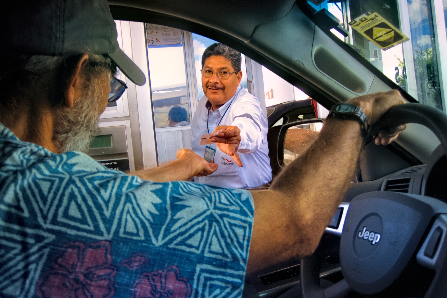
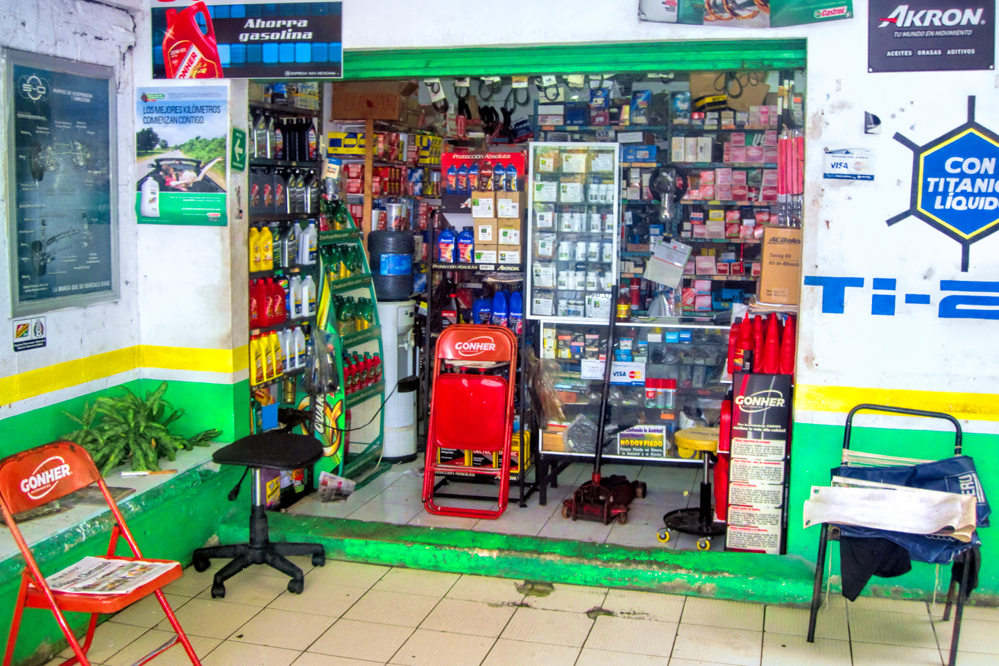
We retrieved our freshly washed laundry at the hotel, then made a stop at the front desk on our way out. The Jeep was due for an oil change, and Cancun seemed like a good place for it, so I asked the clerk if he knew where we could get it done quickly, without an appointment. He recommended a shop called Lubramax, just up the street.
I was using a new synthetic oil blend that wasn’t widely available yet, not even back in Arizona. I figured that might be a problem, so I’d brought along a case of it from home. When I got to the shop, I was told that they only do oil changes with the oil that they sell, and they weren’t allowed to make exceptions. In the end, I talked them into bending their rule, but only by agreeing to pay the cost of five quarts of multigrade that I couldn’t use.
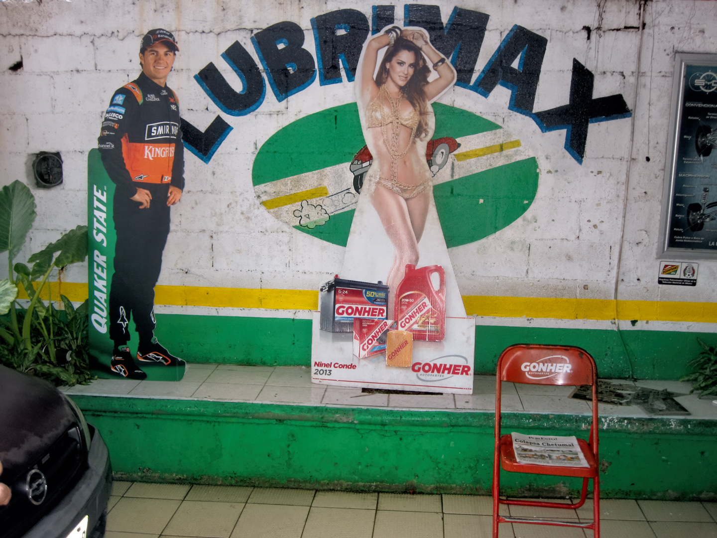
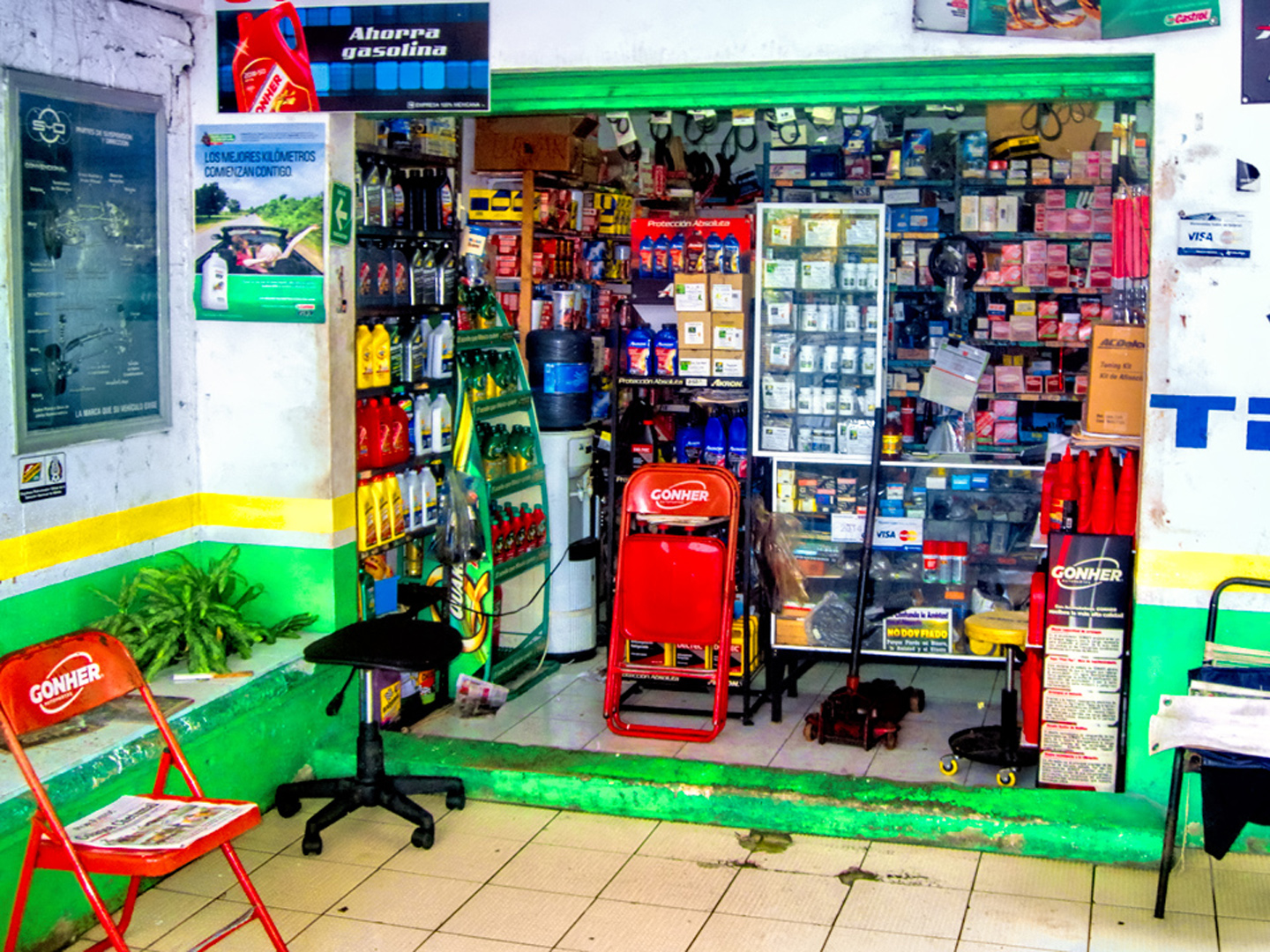
Oil Change Store in Cancun
Things like laundry and oil changes aren’t always easy to arrange when you’re on a long road trip, so it felt pretty good to have covered both tasks in a single morning. We gassed up at the Pemex station, then jumped on MX 307 to continue our journey.
The developers who created Cancun leveraged their success and expanded their project, focusing first on the area between Playa del Carmen and Tulum, then moving north as far as Puerto Morelos, and south as far as Felipe Carillo Puerto, a stretch of Caribbean Coastline well over 100 miles long. This whole area, originally known as the Cancun-Tulum Corridor, has been re-branded as the Riviera Maya, trading on the upscale reputation enjoyed by the French and Italian Rivieras on the Mediterranean Coast of Europe.
There are resorts along this coastline in every category, all inclusive properties that cater to every whim of their guests. There is world-class diving just off-shore, with the world’s second longest barrier reef, and limitless schools of colorful fish and other creatures that make their home among the coral.
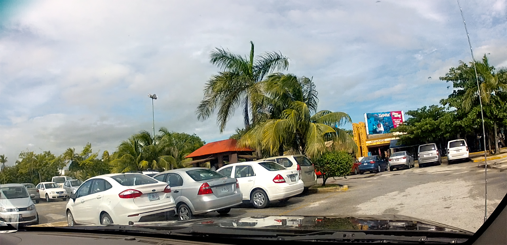
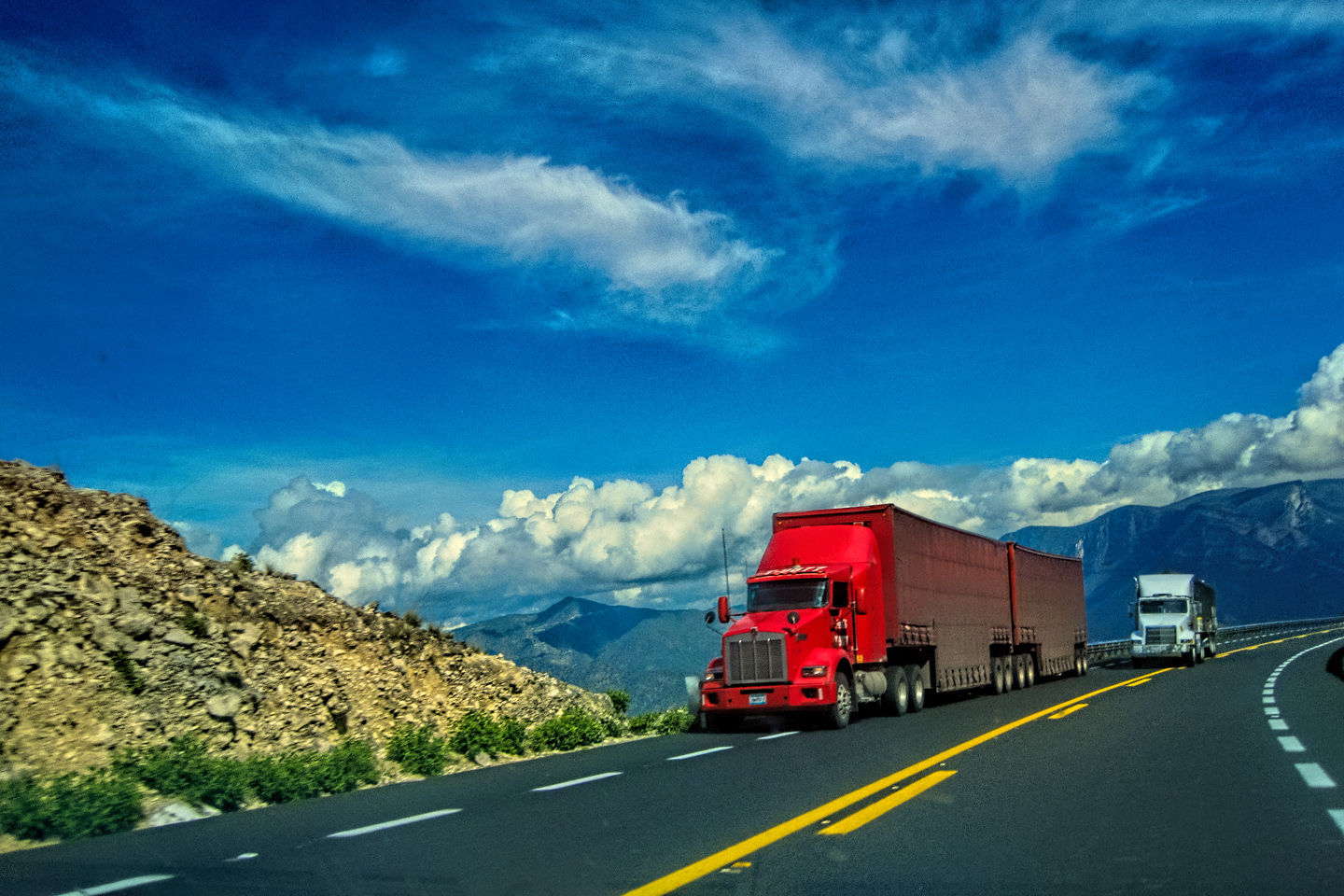
What we saw, driving through on MX 307, was a seemingly endless extension of Cancun, brand new, modern developments that wouldn’t look the least bit out of place if you picked them up and plopped them down in any coastal area north of the border. They even had Drive-through Starbucks, the ultimate symbol of advanced civilization!
We used Expedia once again, and we’d reserved a hotel in Tulum, the popular beach town that was about a two hour drive south from Cancun. Tulum was also the location of a very cool Mayan ruin that goes by the same name. So long as the weather cooperated, the rest of our day was set–but it still looked very much like rain!
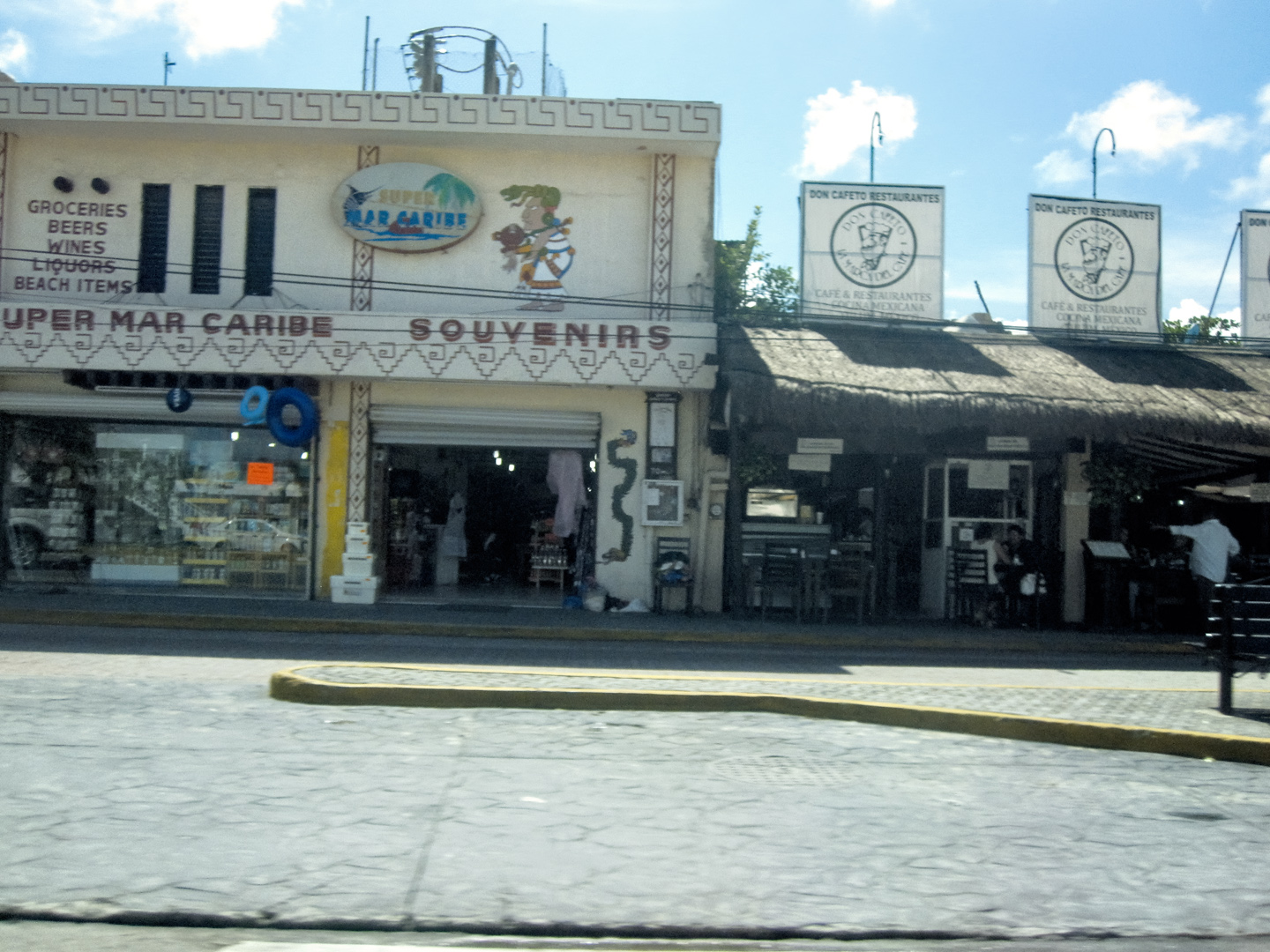
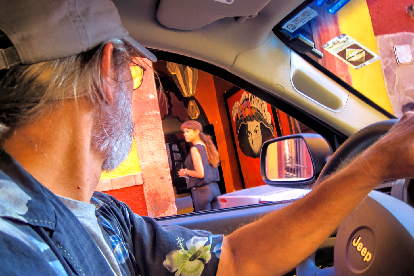
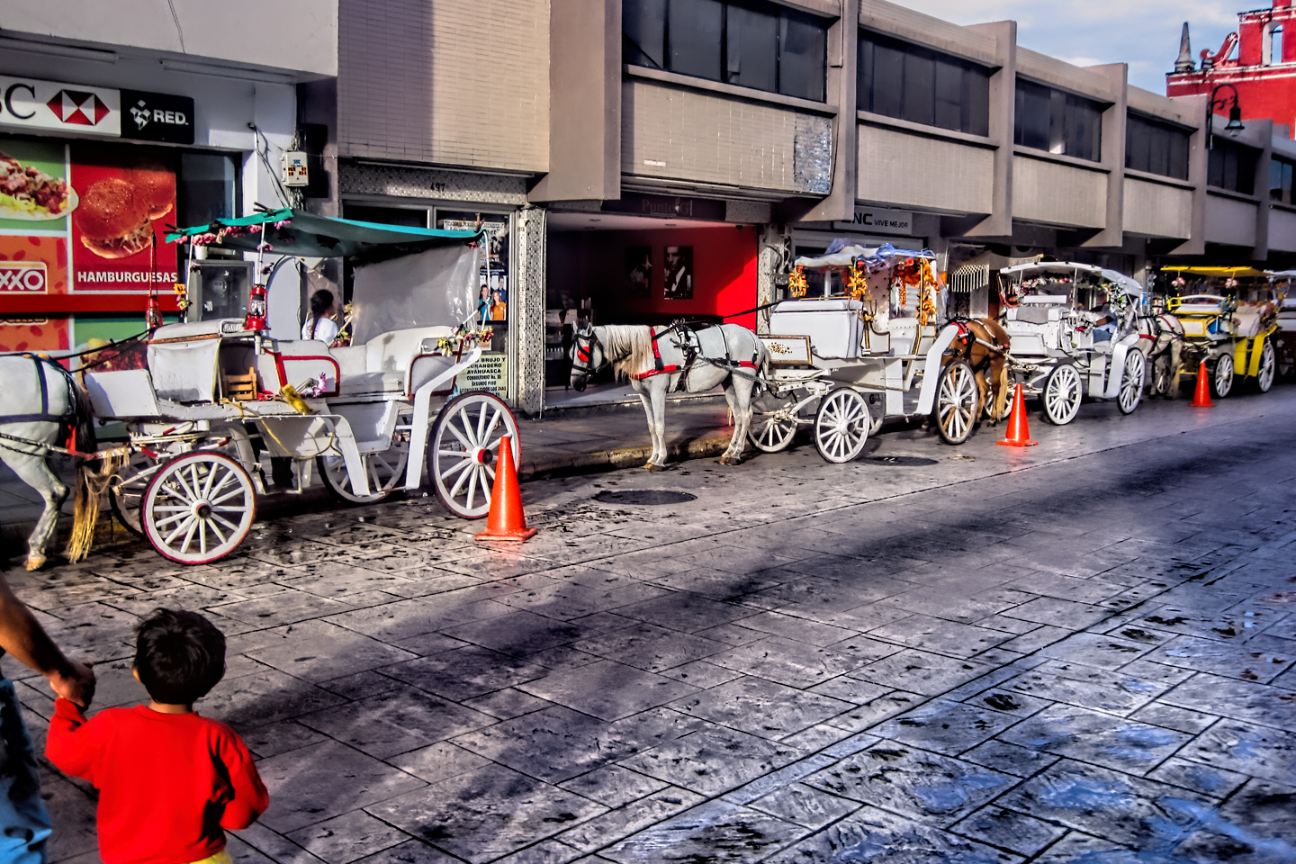
We drove through Playa del Carmen, one of the beach towns I’d always heard good things about. It’s popular with expatriate Americans, and it was easy to see why. The whole area is so overwhelming dominated by North American style and culture that there’s barely any room left for Mexico. I’m sure we could have found the true local core if we’d looked a little harder, but from the perspective of two old dudes passing through? A lot of what we were seeing seemed strangely out of place.

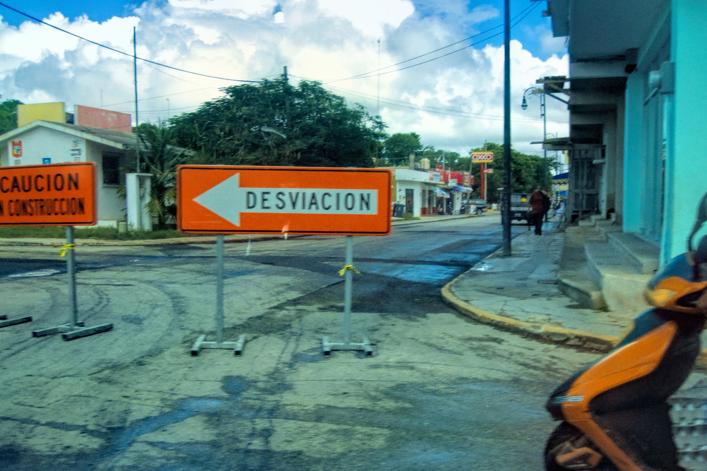
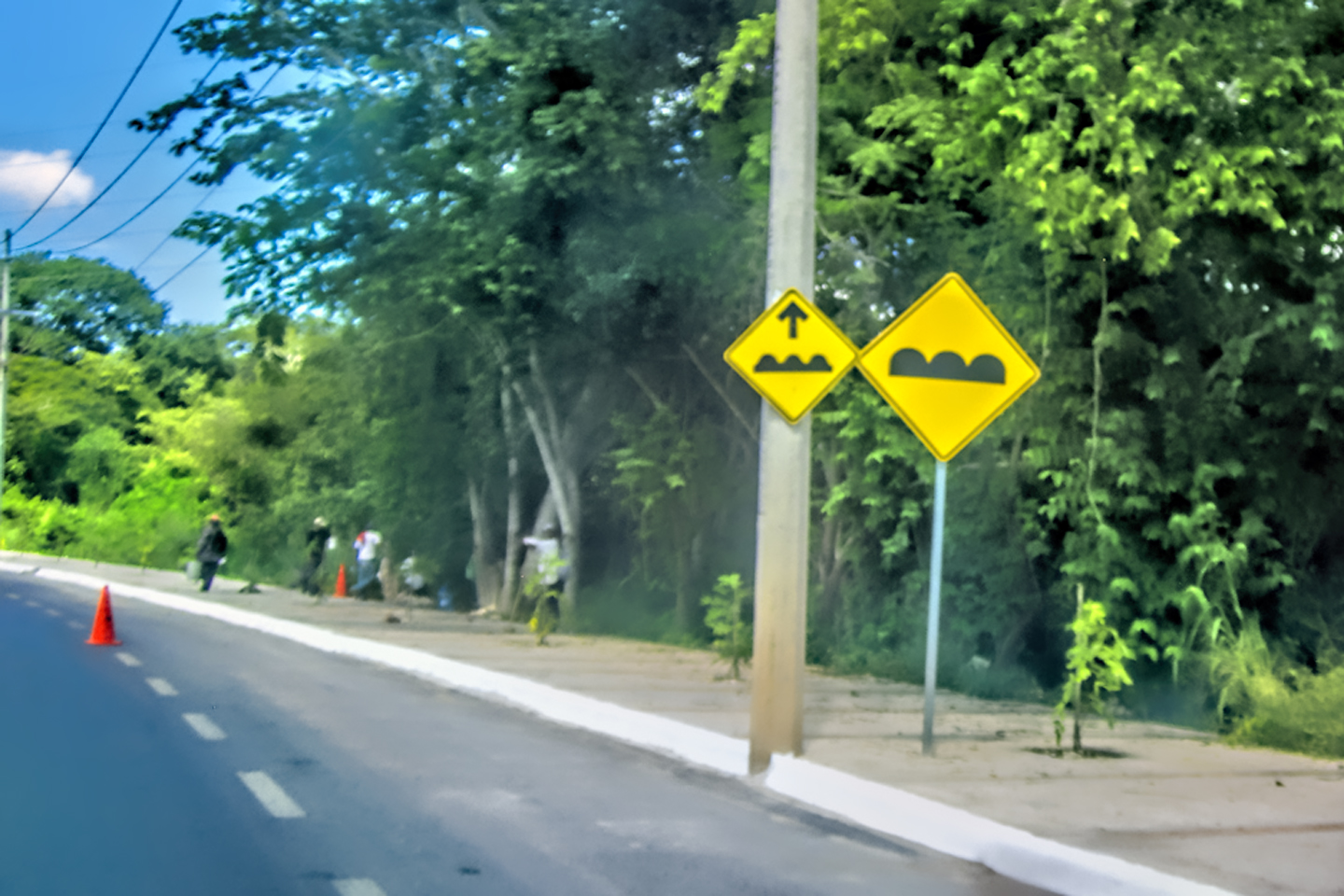
Scenes along the Road from Cancun to Tulum: The much heralded Riviera Maya!
All of that changed when we reached the town of Tulum, where they promote a hip/funky “New Age” ambience that attracts artists, artisans, and counter-culture types from around the globe. They’re trading on a common misperception about the ancient Maya, assuming them to have been peaceful mystics, possessed of great wisdom. (The wisdom part is possible, but peaceful? Quite the opposite! Check out my earlier post on that subject: The Amazing Mayan Murals of Bonampak). Either way, Tulum has somehow gained a reputation as a place where you can put yourself in touch with a higher plane of spiritual energy. I didn’t experience any such thing myself…but hey, I came of age in the sixties, so it’s not much of a stretch for me to concede the possibility.
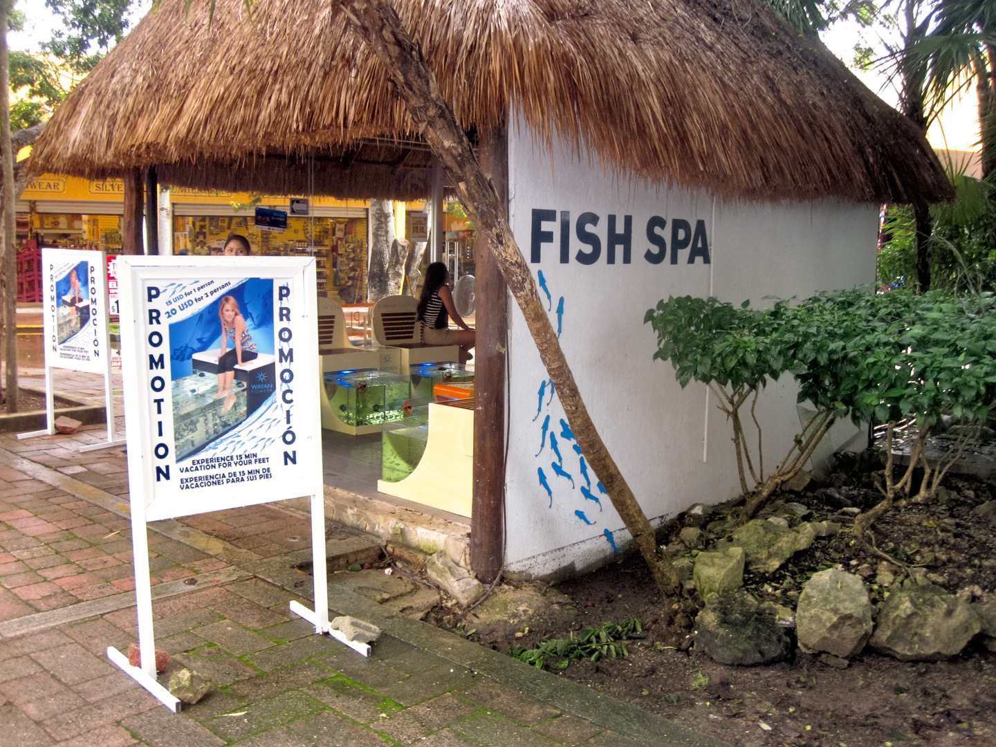
More scenes along the road. At the “fish spa,” you soak your feet in small aquariums filled with fish that nibble on your toes.
The hotel that we booked through Expedia was excellent!
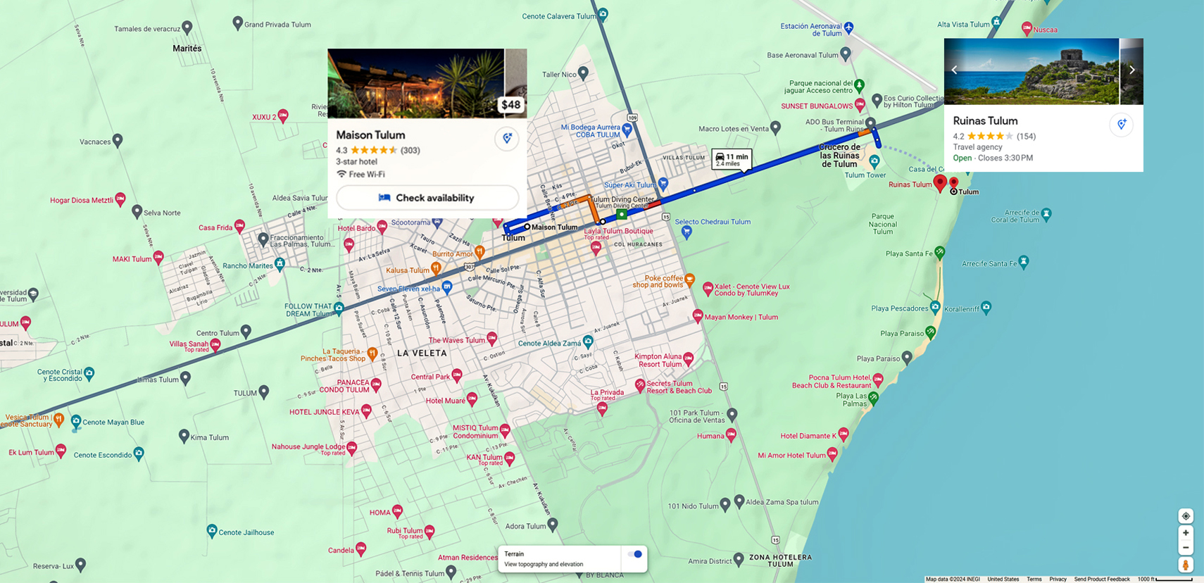
Hotel Maison Tulum
This place was a rare find. A boutique hotel, with maybe a half dozen very nice rooms located above a French Bakery and restaurant. Two blocks off the main drag, I really doubt we would have ever even seen it, had it not been for Expedia. We paid just $44 per night (figuring in a 10% discount for paying cash). In a heavily touristed area like Tulum, that was a heck of a good deal! (Prices quoted were correct in 2015; they’ve gone up since then, but it’s still an excellent value.)
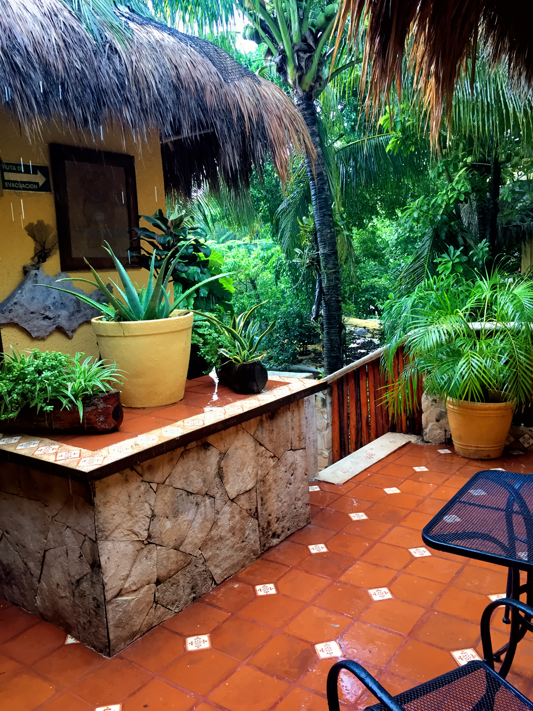
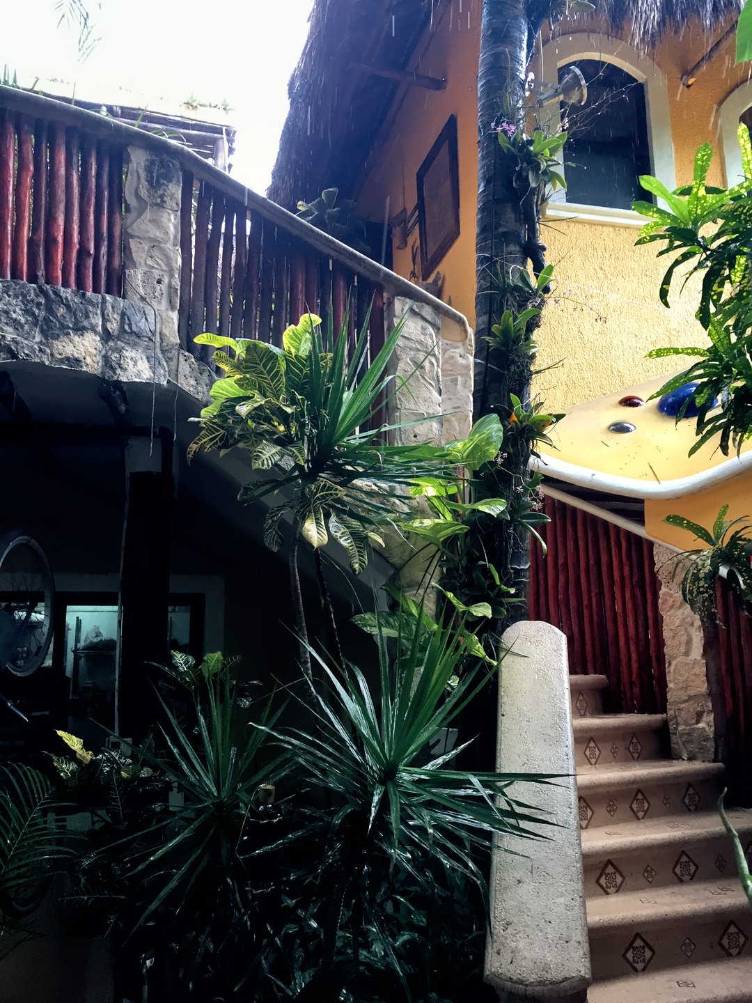
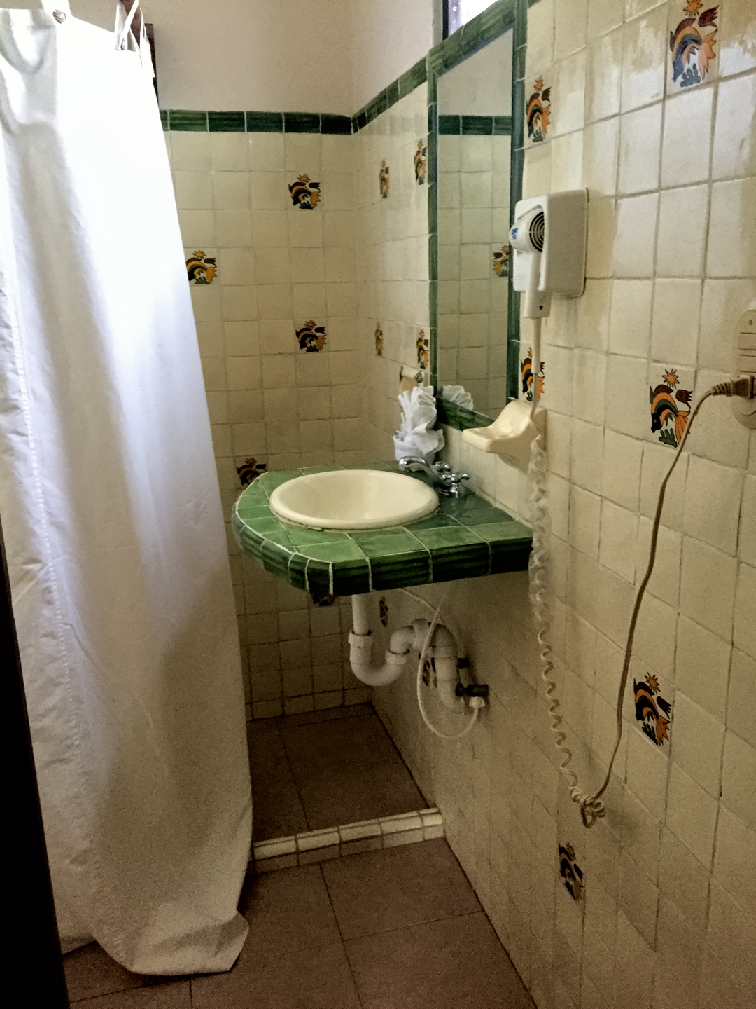
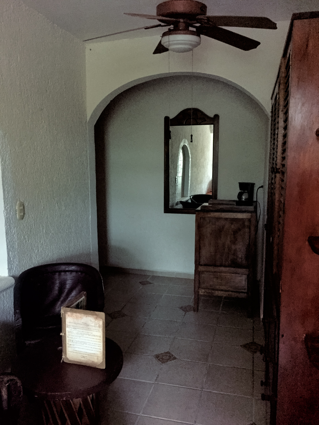
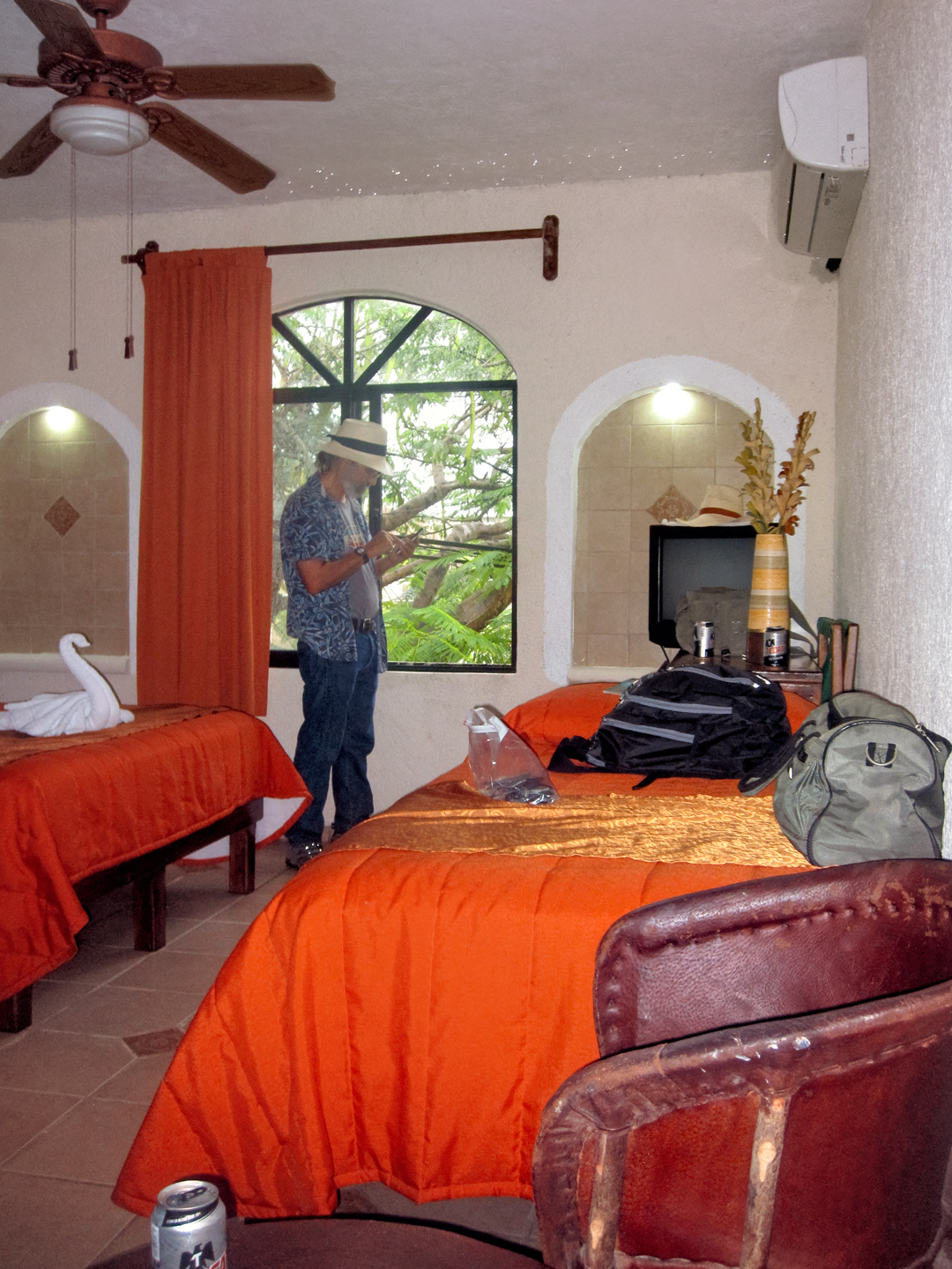
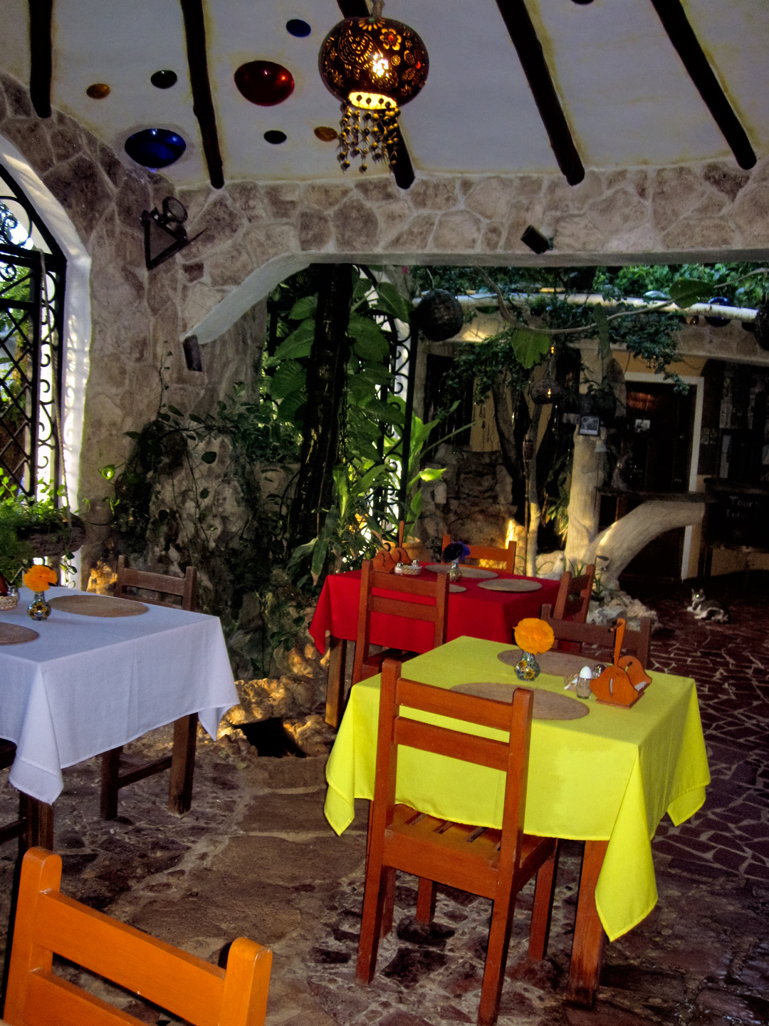
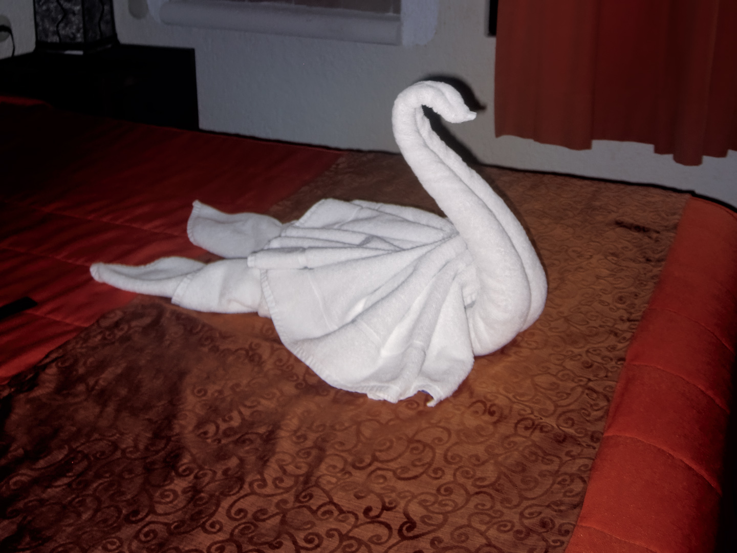
Scenes around the hotel and restaurant. There was a lovely courtyard at street level, as well as a rooftop terrace. Our room had a foyer, and our towels were folded into swans!
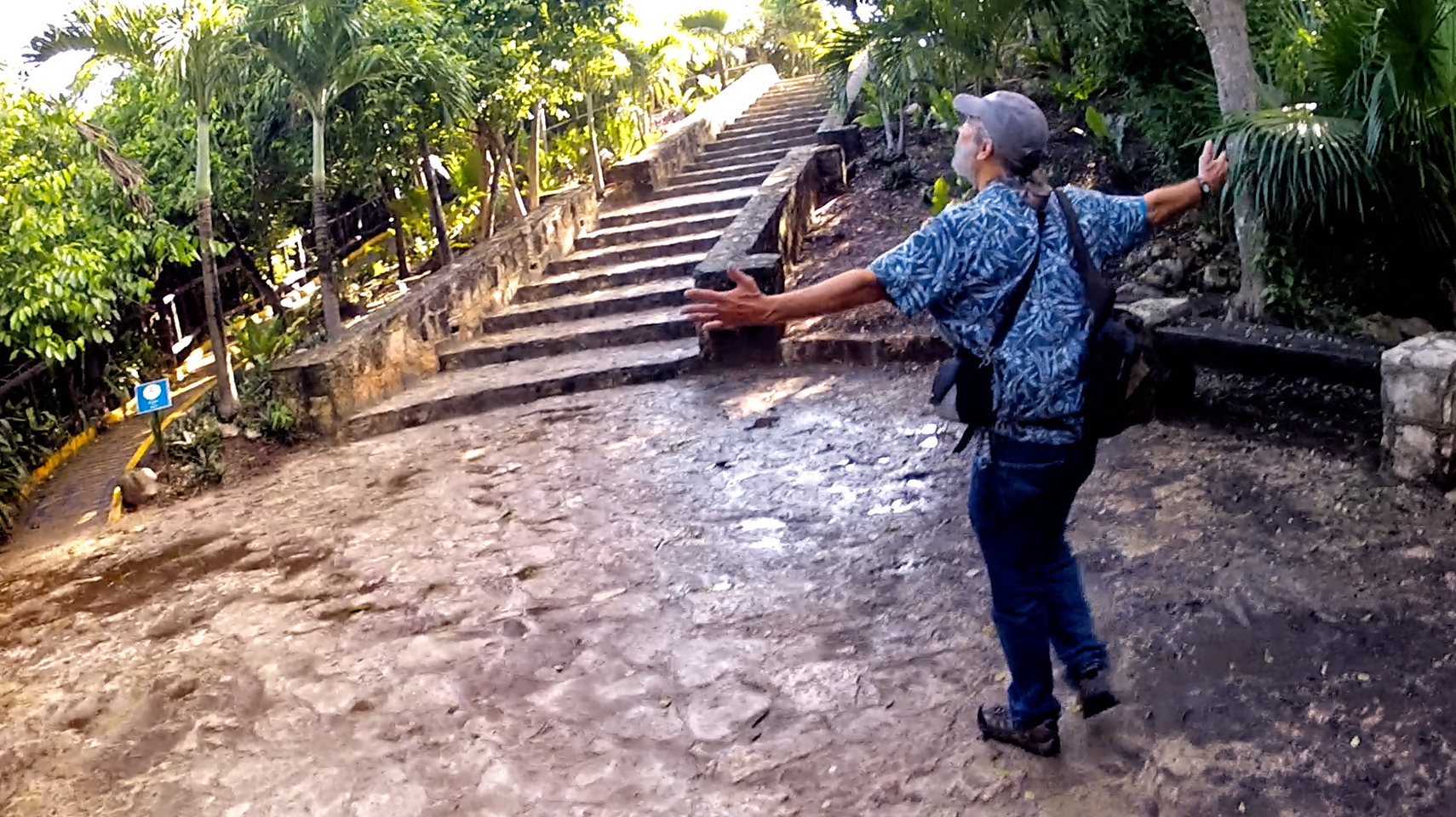
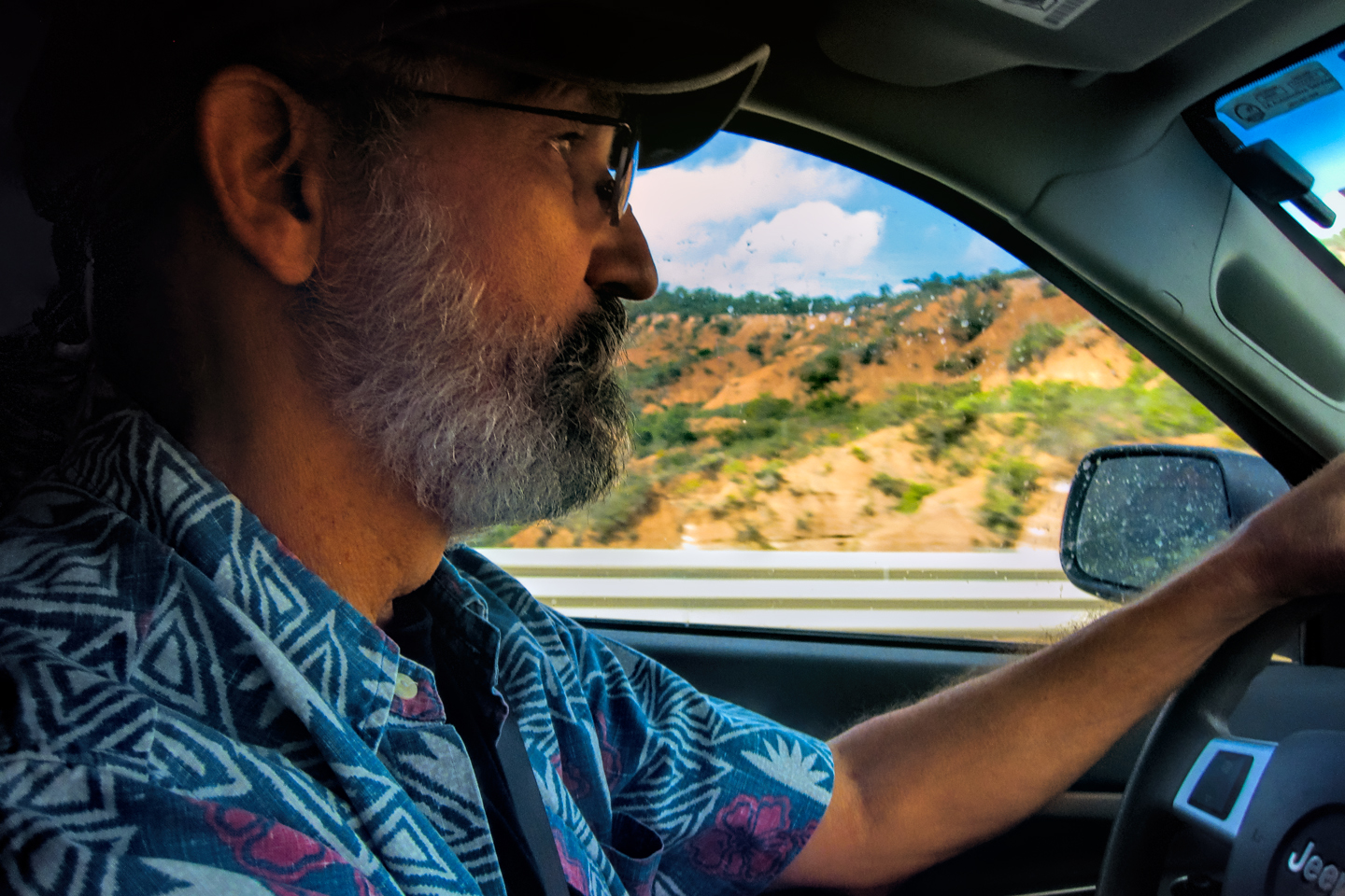
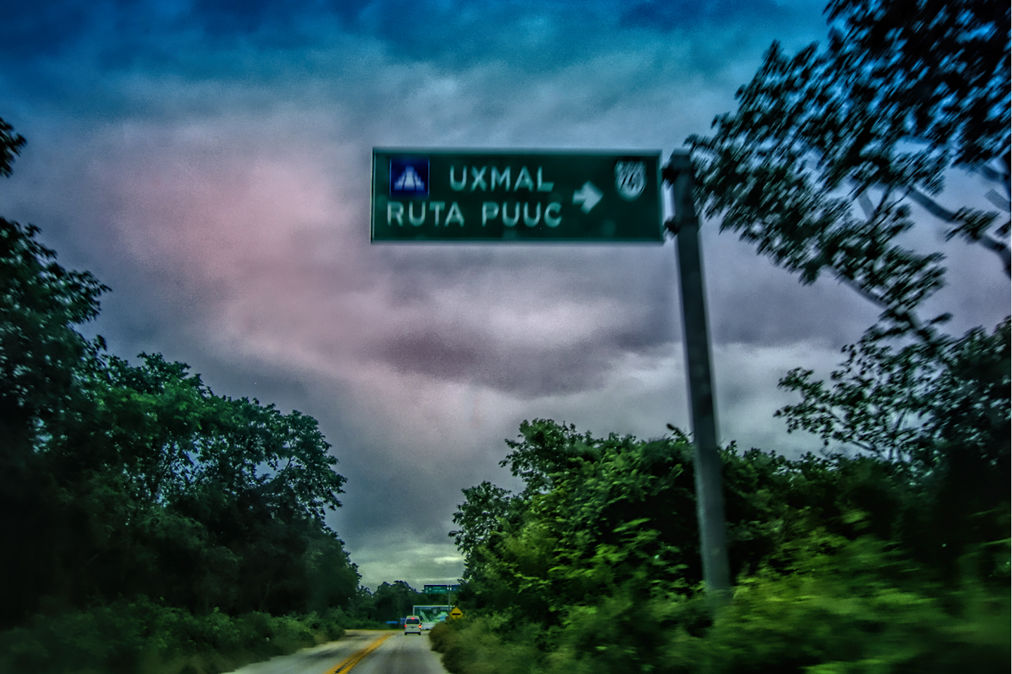
It rained lightly, on and off, through most of our drive down from Cancun, but we considered ourselves fortunate, because just after we got off the road and checked into our hotel, there was another cloudburst. Heavy rain poured down for about two hours, until mid-afternoon, when it stopped as abruptly as it started. Everything was wet, deep puddles lined the streets, but the clouds looked like they were breaking up a bit. Tulum, the Mayan ruin was just ten minutes away, so we grabbed our cameras, and headed over there.
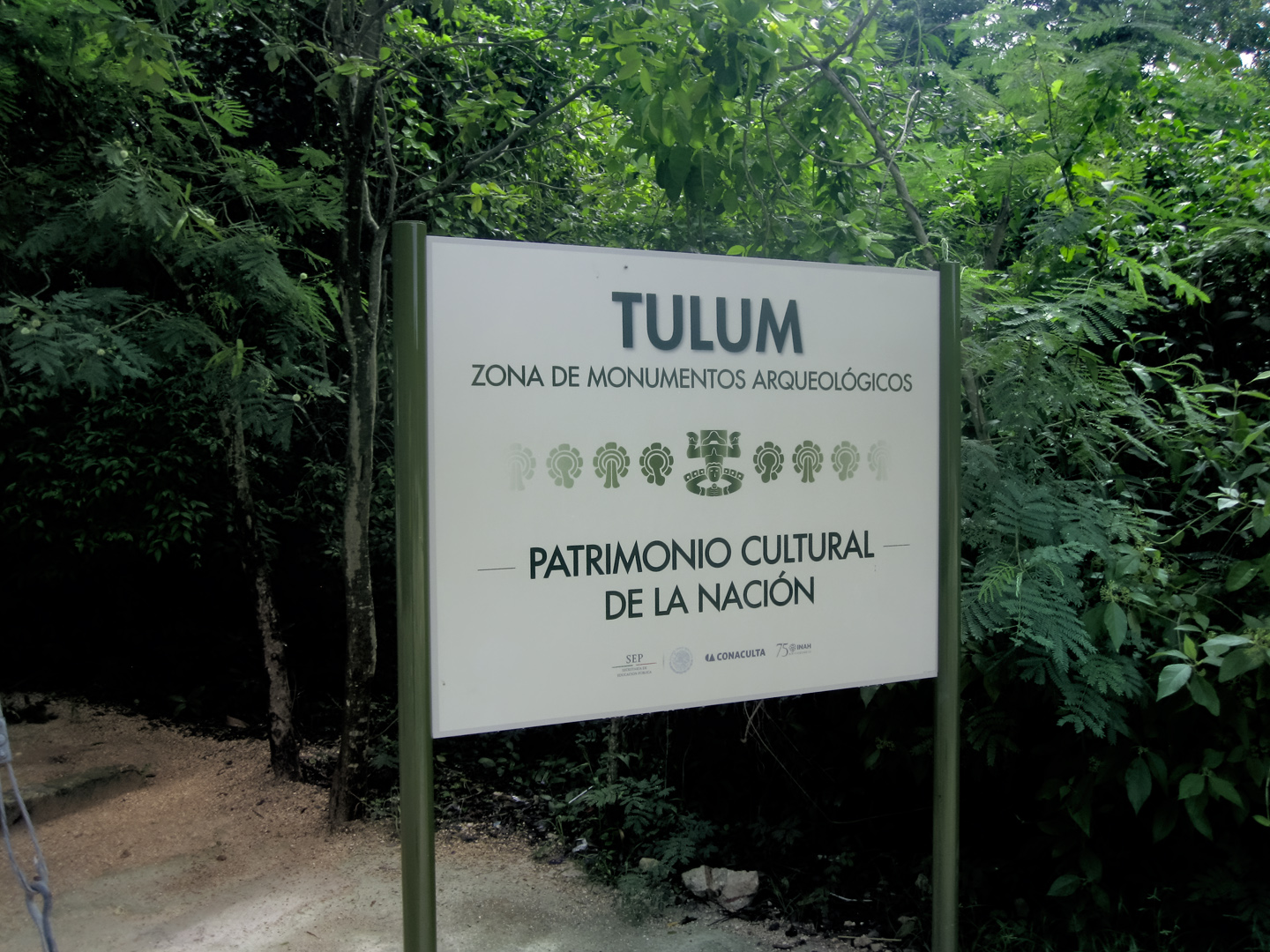
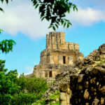
TULUM: MAYAN CITY BY THE SEA
Tulum, the ruin, is second only to Chichén Itzá in the number of visitors that it attracts; almost two million per year, which is far more than Uxmal, or Palenque, or any of the other Mayan cities in Mexico. Once again, this has less to do with the quality of the site than it does with the relative proximity to Cancun; it’s just two hours each way, and there’s even shopping, as well as a beach! As a day trip, it’s ideal, even for people who don’t care two hoots about Mayan ruins.
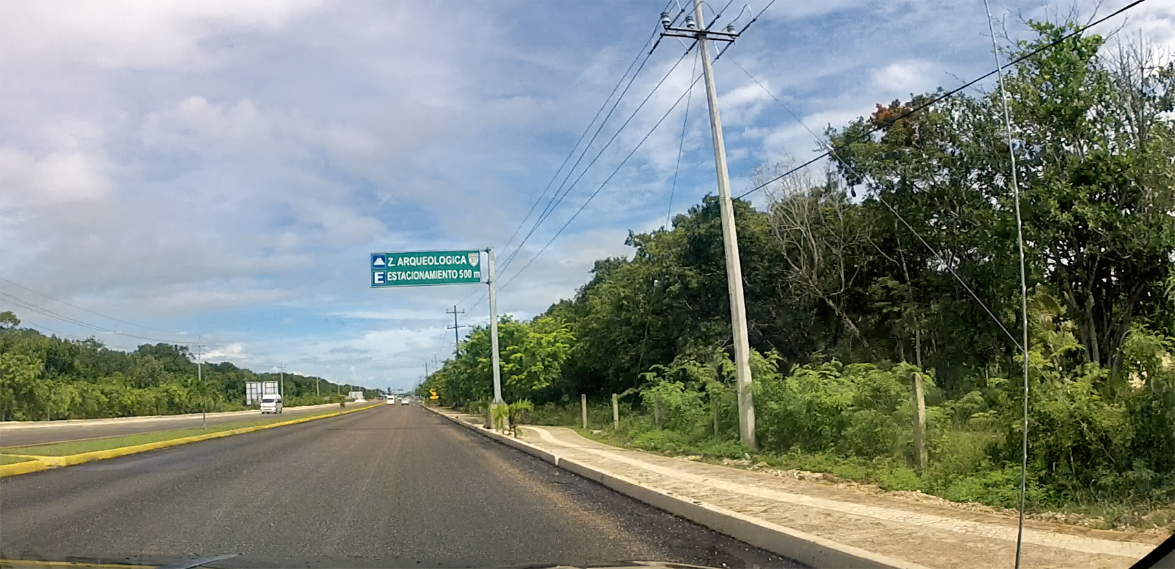
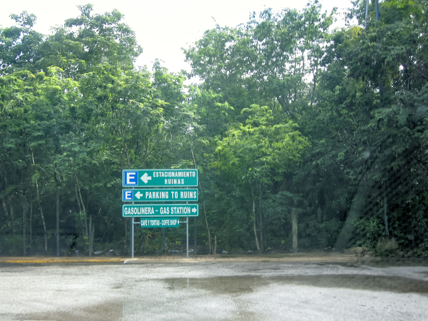
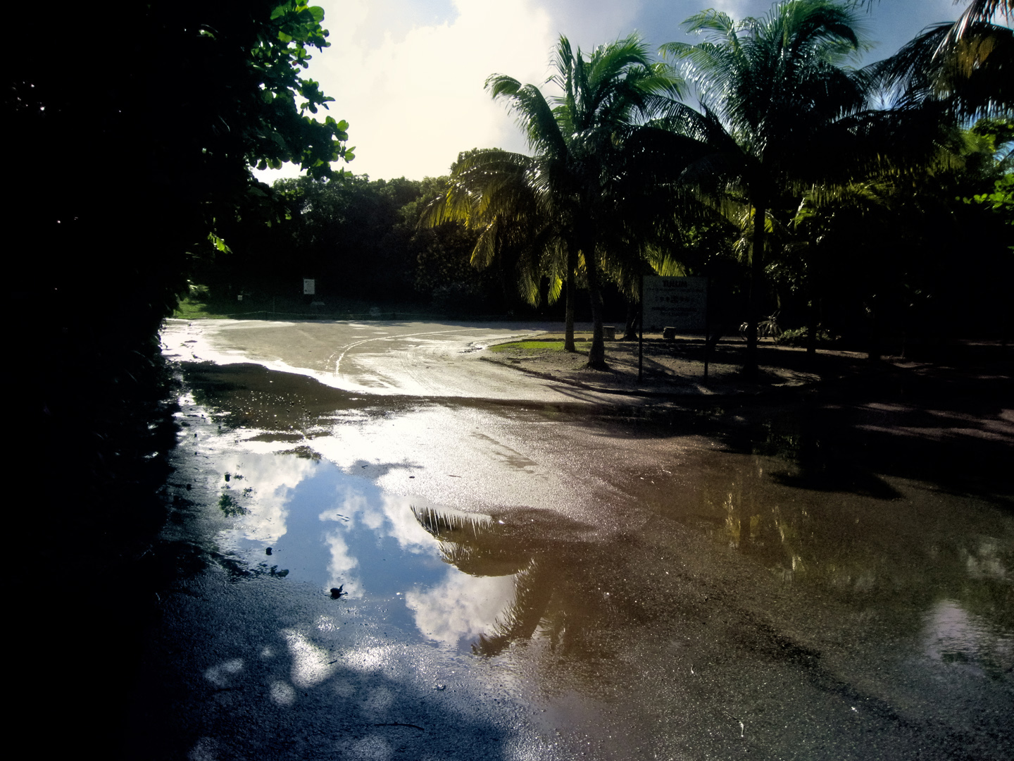
Driving in to the parking area for Tulum. Not all that busy, but this was the off season, on a seriously rainy day!
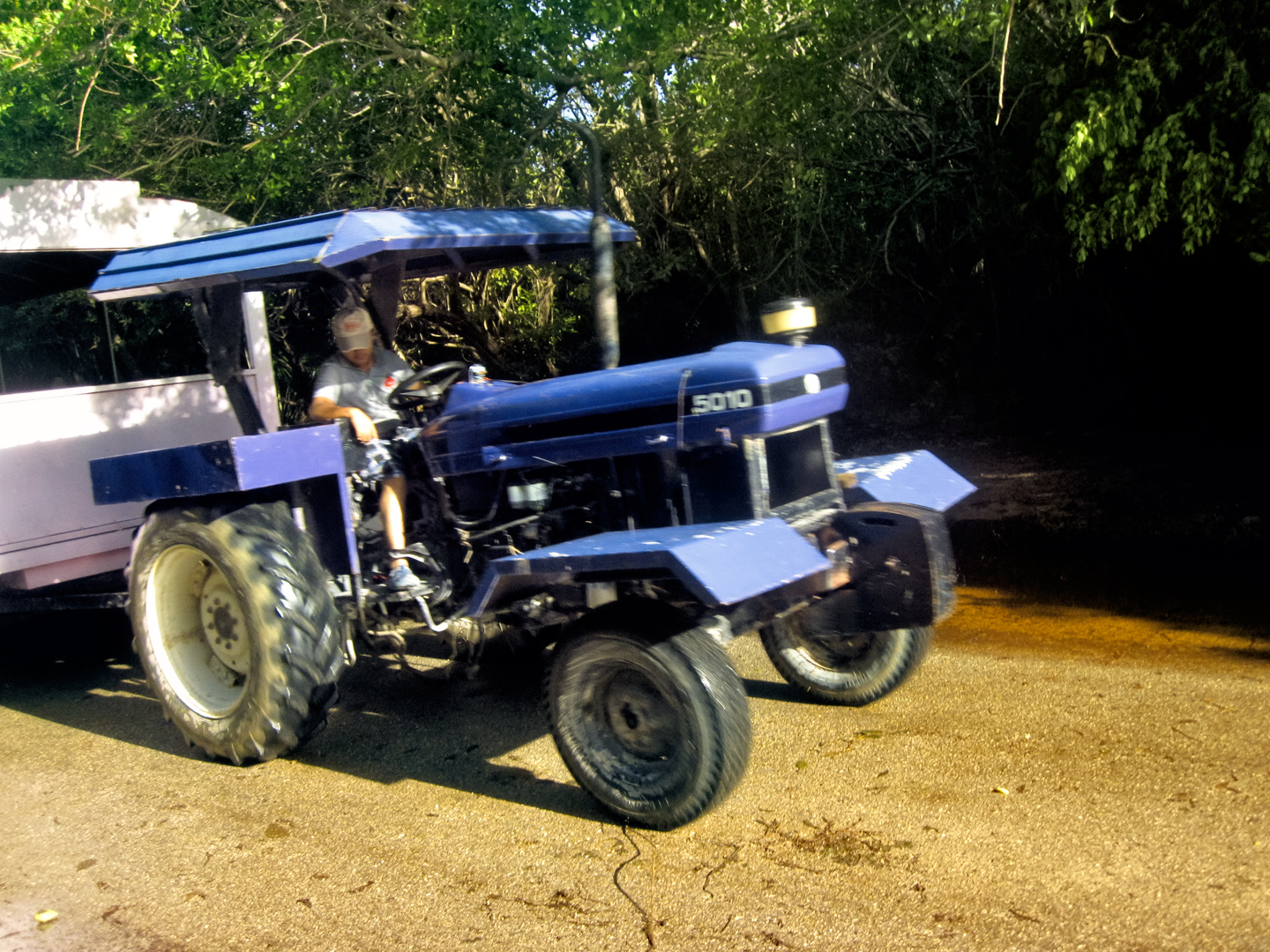
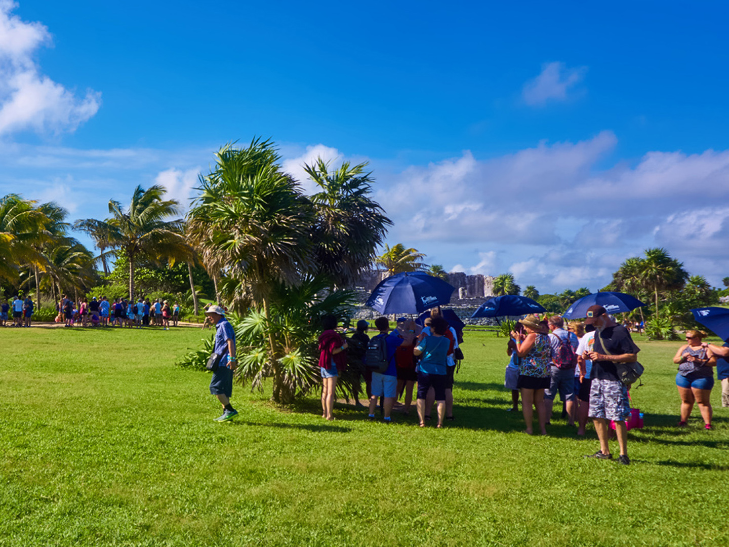
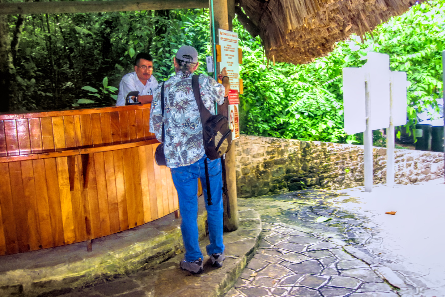
There were puddles everywhere from the rain, and the path between the parking area and the ruins was a flooded, muddy mess. It’s a bit of a hike, even without the water hazard–at least a half mile each way–so there are tractor-drawn carts that shuttle visitors back and forth for a nominal fee. On this particular day, a seat on the cart was well worth the additional cost of 100 Pesos– about five bucks each. It was already getting late in the day–after 3:00 PM, We weren’t even going to try to see everything on this visit, because we were already planning to return the next morning, when we’d have (hopefully!) better light, and a smaller crowd.
The path from the parking lot to the ruins was a real mess, so we were happy to catch a ride on the tractor drawn cart!
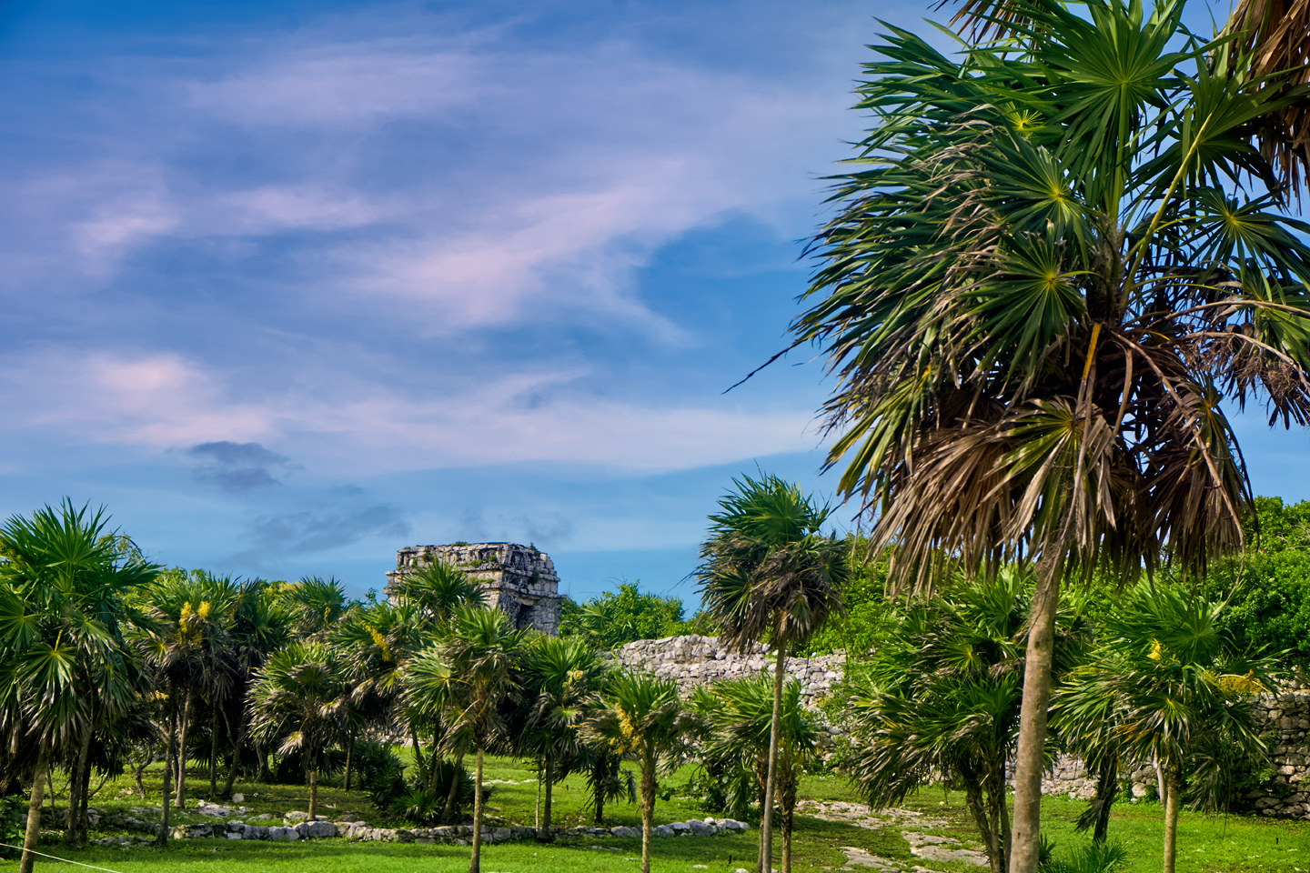
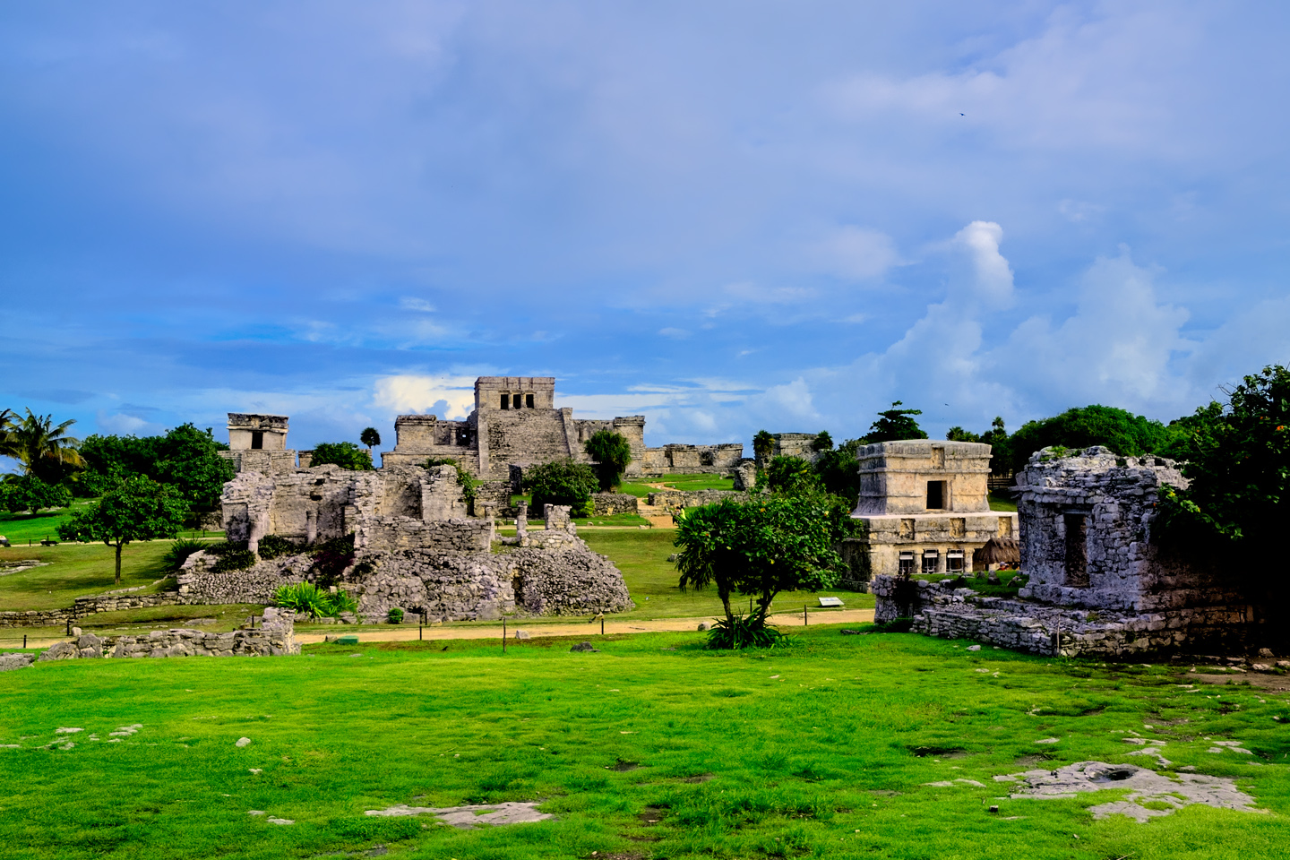
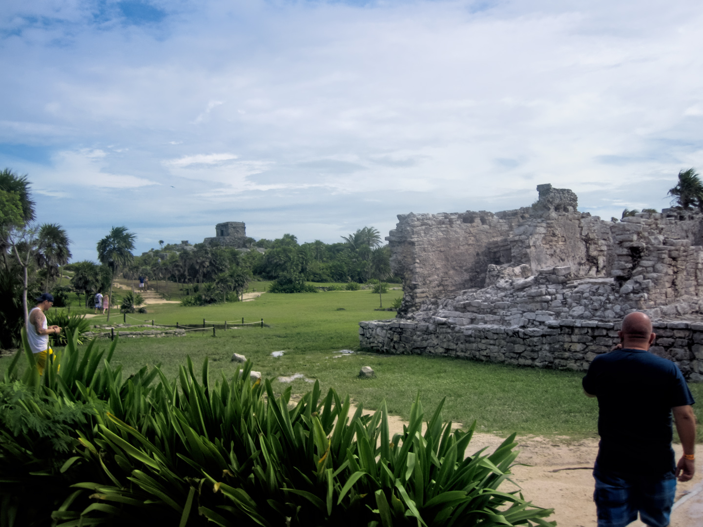
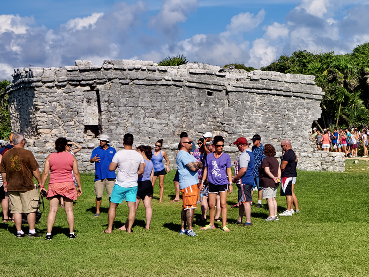
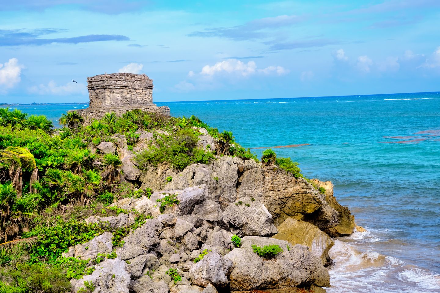
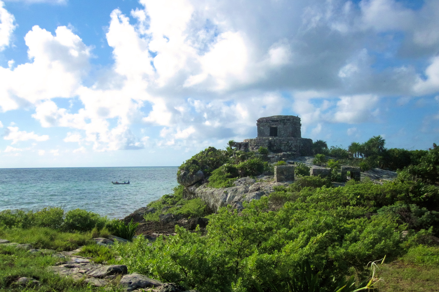
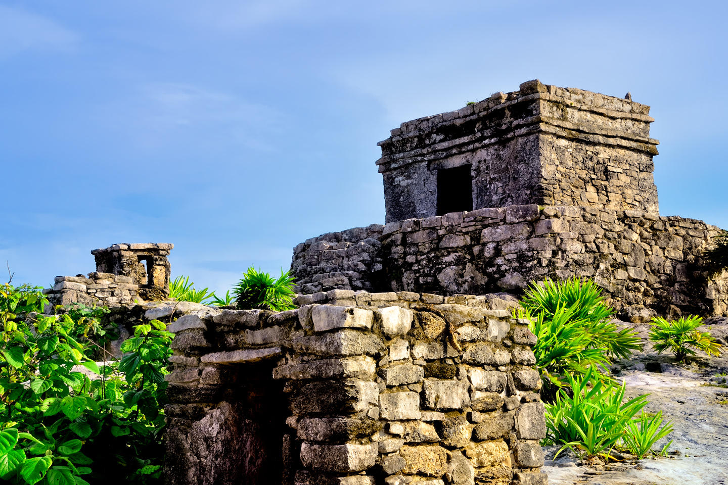
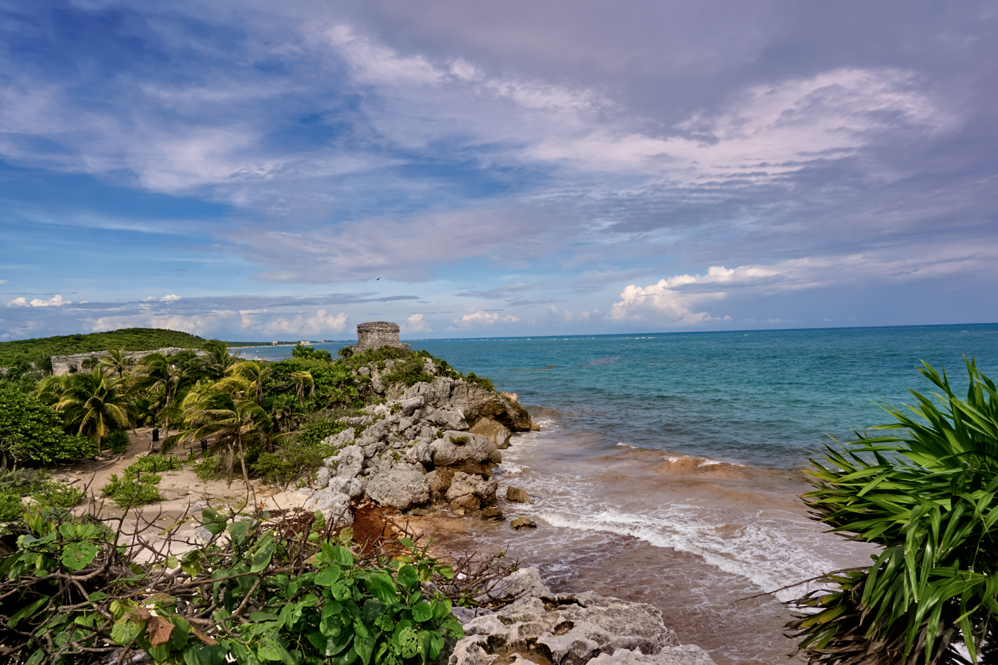
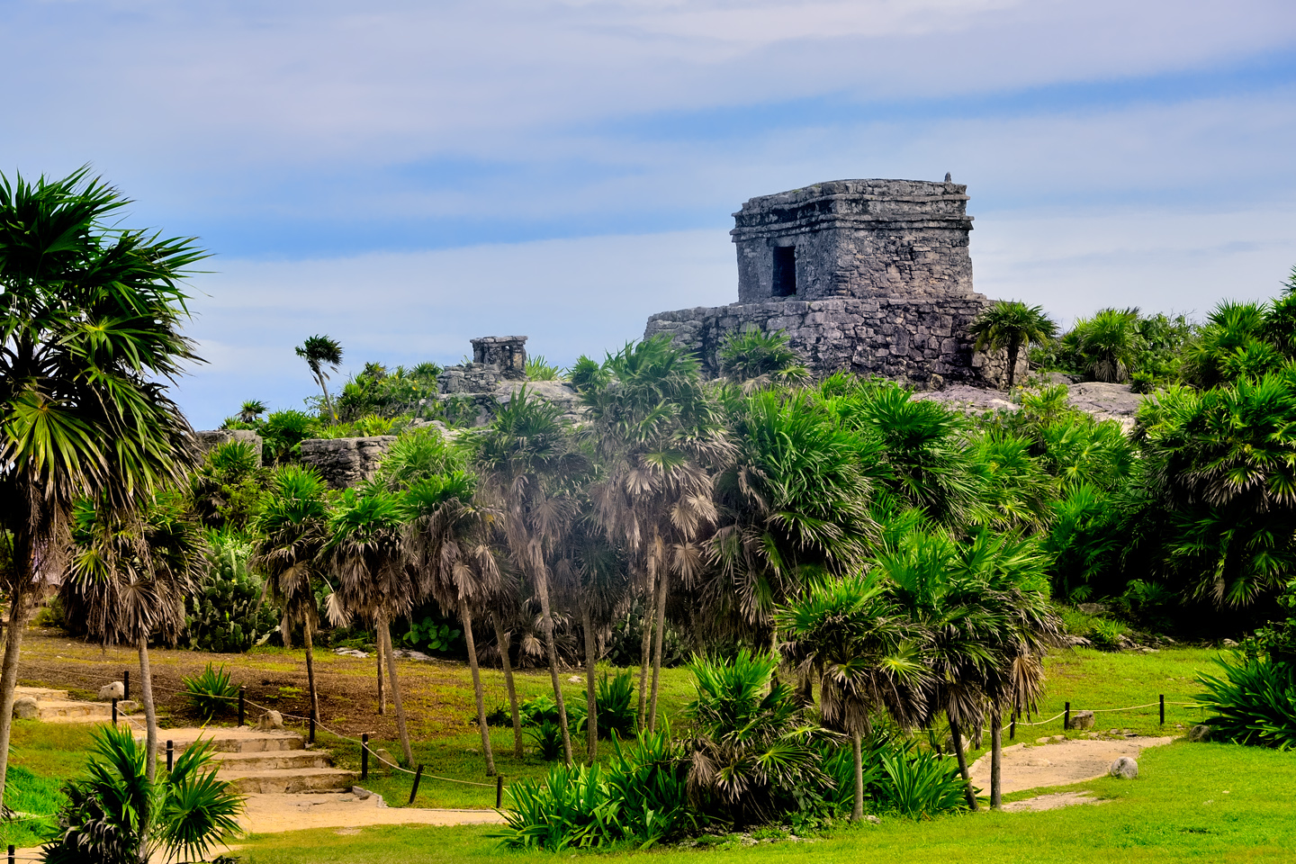
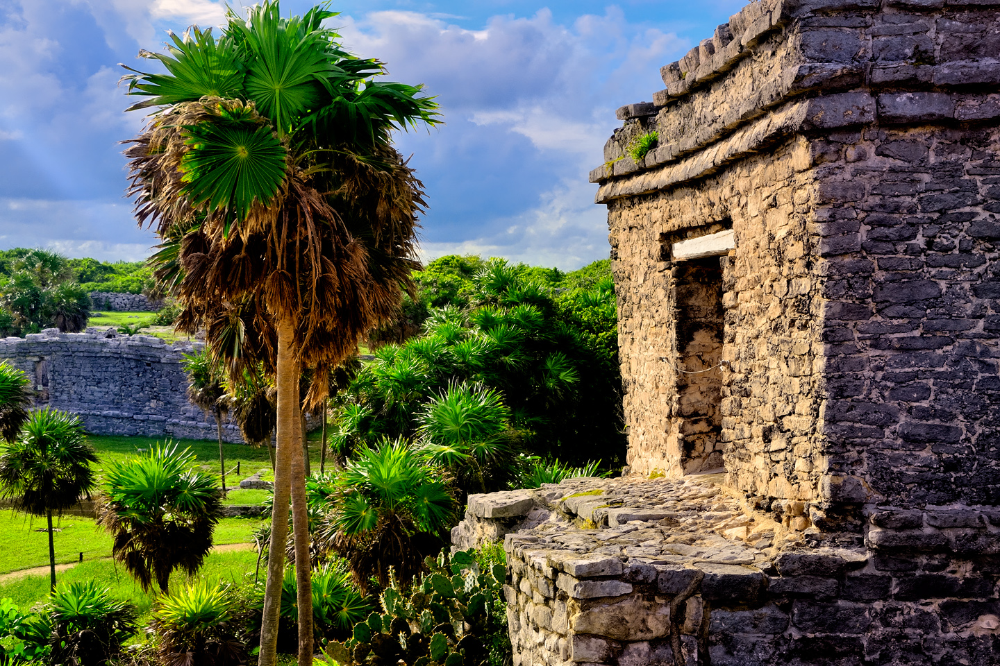
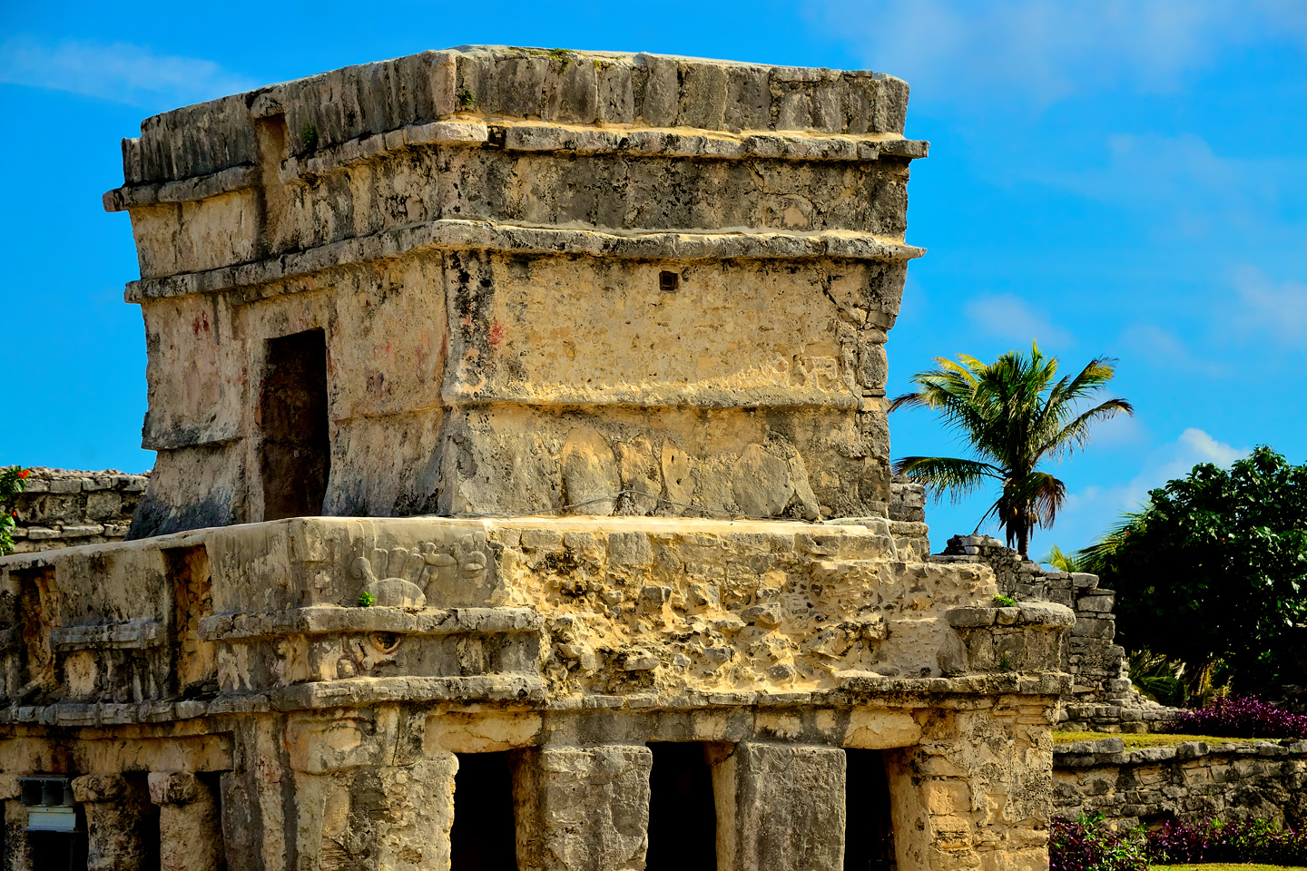
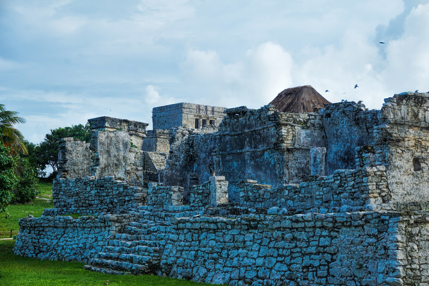
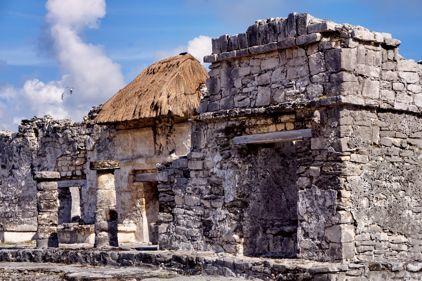
The shuttle deposited us at the entrance to the ruins, and we walked up a shallow flight of steps into the ancient Mayan city of Tulum. The expanse of manicured grass reminded me of a golf course, crossed by meandering paths that connected perhaps two dozen partially restored stone structures. When compared to the other Mayan cities we’d seen, Tulum was rather low-key. The one unique thing it had going for it was its location, location, location: it’s the only Mayan city of any size with an ocean view.
Entering the Archaeological Park of Tulum
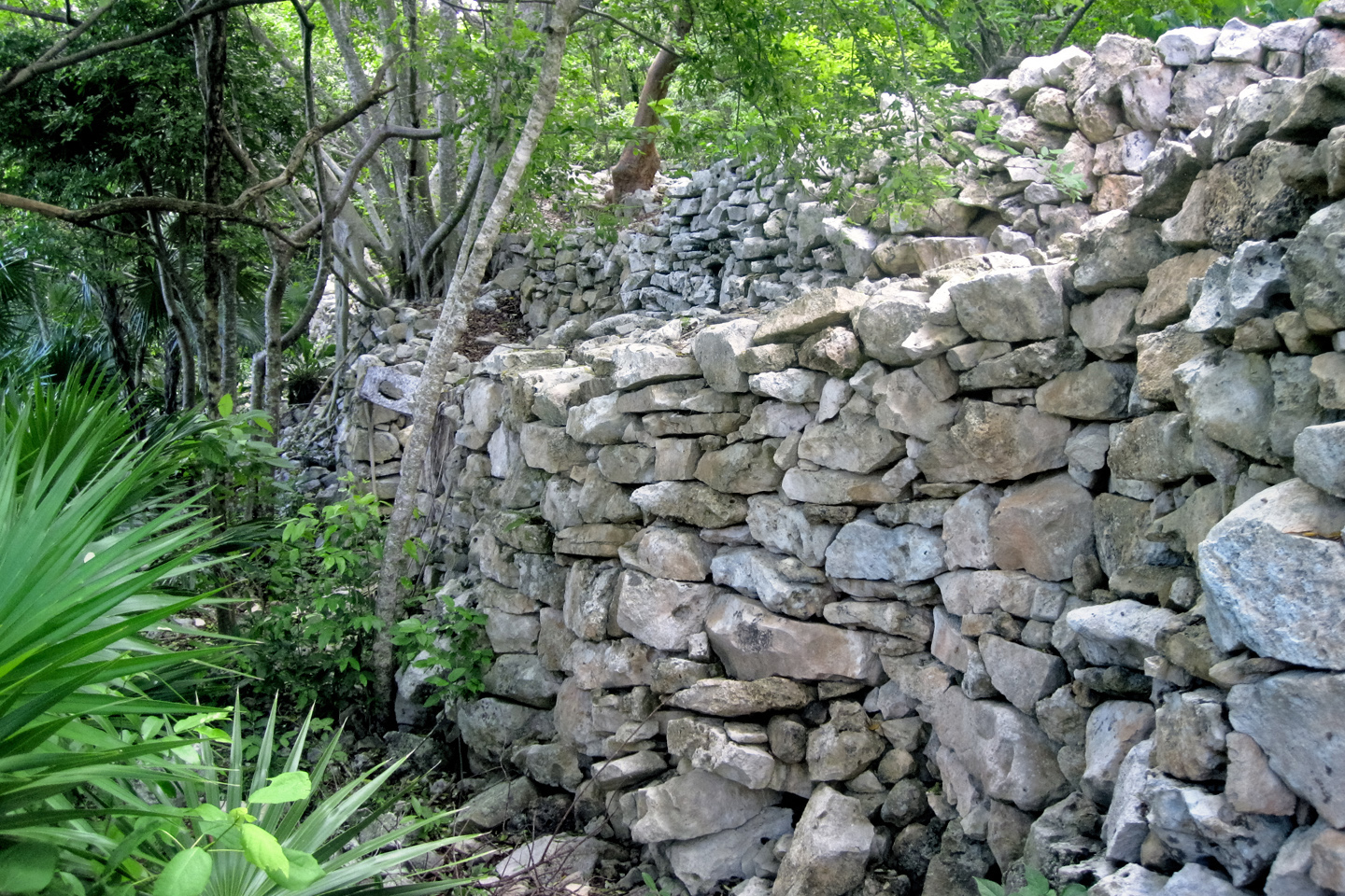
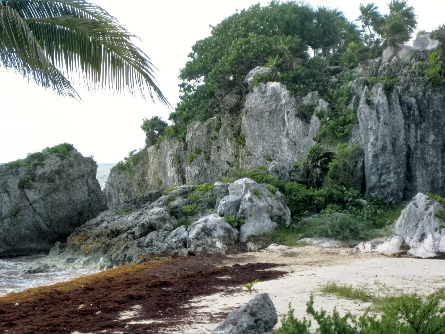
“Tulum” is the Maya word for “wall,” a reference to the fact that this was once a walled city. Portions of the original wall are still standing, and other sections have been partially rebuilt with the original stone, forming a boundary around the main plaza and all the most important monumental structures at the site. In its original form, the wall was a monumental construction in its own right. Built entirely of stone, it ranged from 10 to 16 feet in height, and it was as much as 26 feet thick, following the contours of the land for a total distance of 1300 feet, with the longest section, on the western side, running parallel to the sea.
CLICK MAPS AND PHOTOS TO EXPAND
Whatever you call it, the city was a port, and an important trading center. Some say it was owned and operated by the Lords of Coba, a much larger, much more important Mayan City that lies just a bit inland. According to another theory, Tulum and the many other spots along this coast that were used as ports in antiquity were part of an extensive trading network that was operated by a whole different group, a whole different ethnicity. The inland Mayan cities were ruled by dynasties of kings whose power came from their royal lineage, or from their prowess in war. The Lords of the ports were merchants. The coastal trade, mostly luxury goods, was incredibly lucrative, and the significant wealth that was created gave the merchant class a different, but equally important form of power. Not so very different from the dynamics that determine the pecking order of governments in our modern world.
Tulum was one of the few Mayan cities that was still occupied by its original inhabitants when the first Europeans arrived in the area, but within a very few years after that first encounter, the old world diseases brought along on the Spanish ships decimated the population. The survivors abandoned what was left of their stone cities, and in no time at all, the jungle reclaimed them. No first-hand accounts of life in Tulum were ever recorded, so what little has been written is based on archaeological research that was done prior to the 1980’s. More is needed, but odds are, it might never be allowed.
Because of its prominent location, readily visible from the sea, Tulum, is one of those sites that was never lost, and, given its picturesque setting, it was one of the first Mayan ruins to be exploited for tourism. What started as a trickle, back in the 19th century, has now become a flood. With millions of tourists passing through each year, generating hundreds of millions in revenue, there’s little incentive to do any serious additional digging. No treasure they might find, and no bit of knowledge they might glean could ever be worth more than what they’re bringing in now, just from the ticket sales alone.
The wall was built primarily for defense, but it also served to separate the priests and nobles from the common people who lived outside the wall, and made up the vast majority of the city’s population.
It’s thought that the original name of Tulum was “Zama,” which means “dawn.” The city’s monumental core is situated atop a forty foot high cliff, facing to the east. The stone temples catch the first rays of the rising sun when it climbs up out of the sea in the morning, the first location in the World of the Maya to greet the dawn each day.
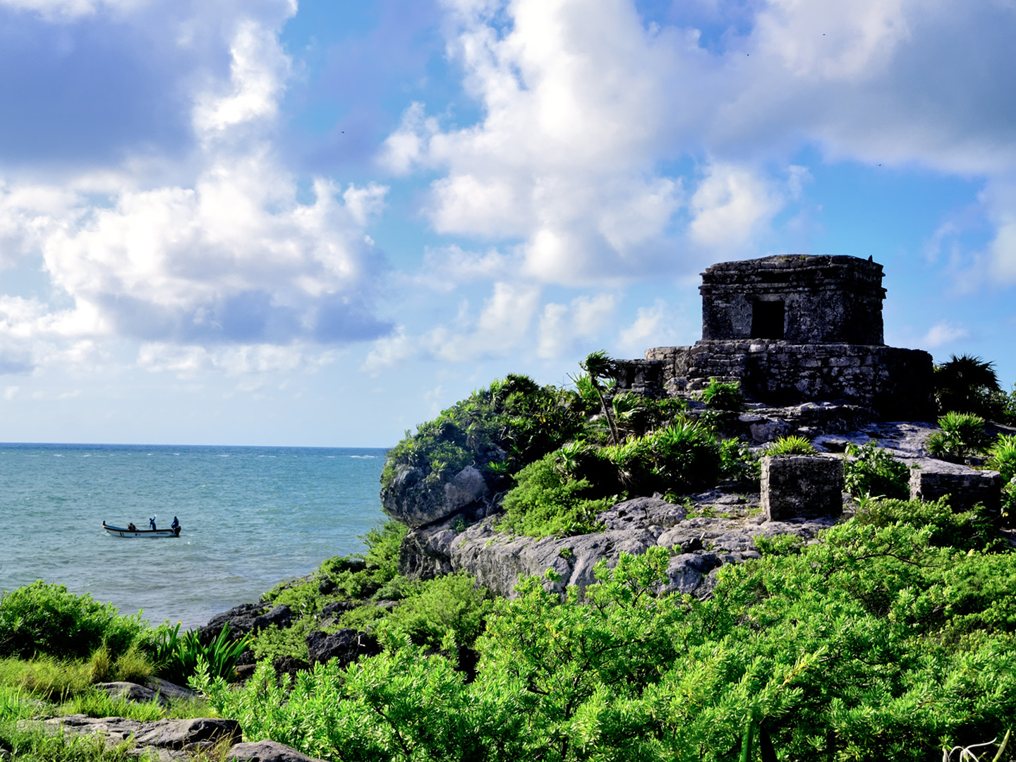
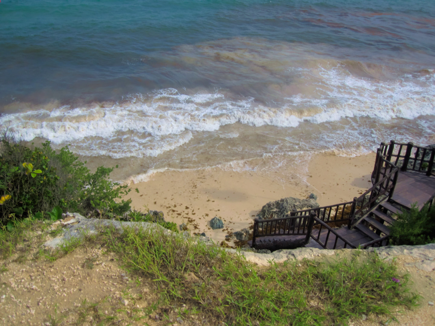
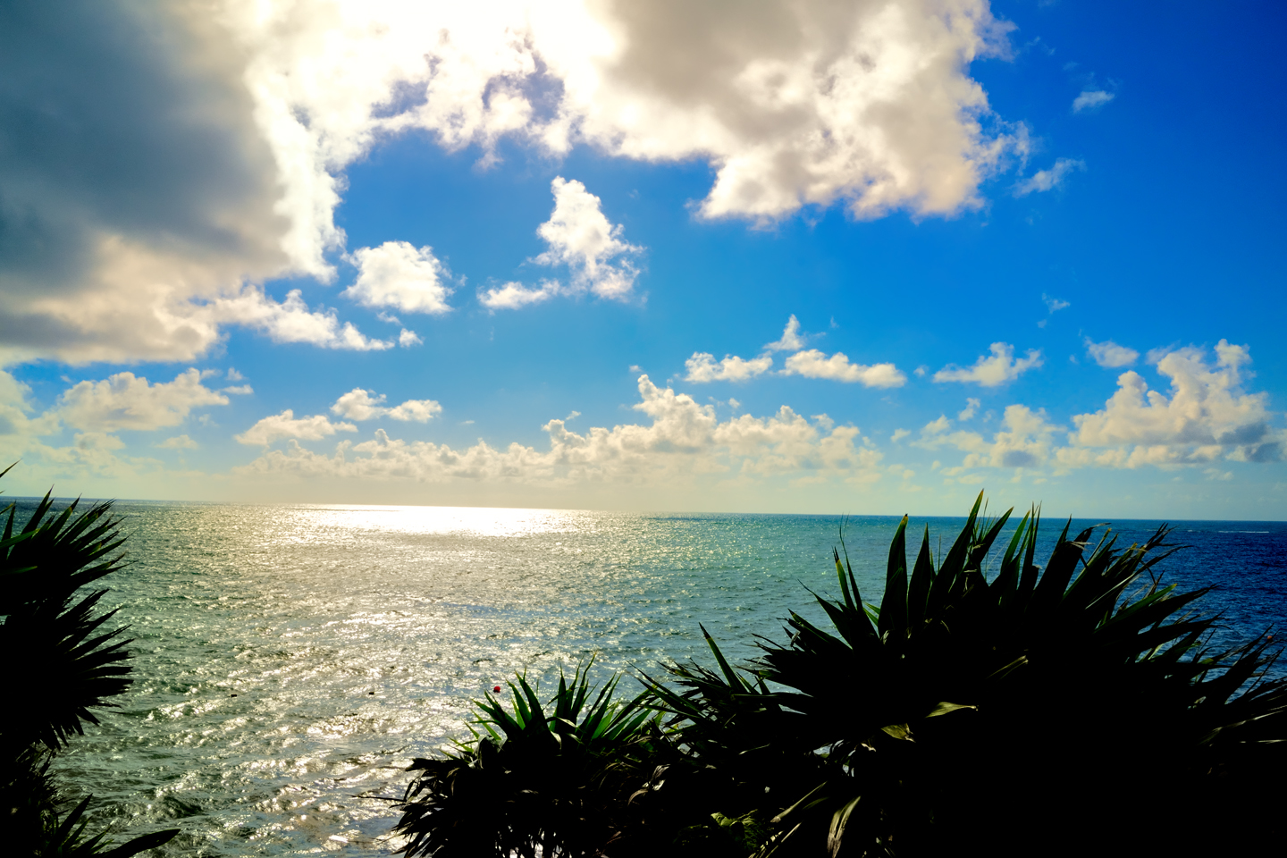
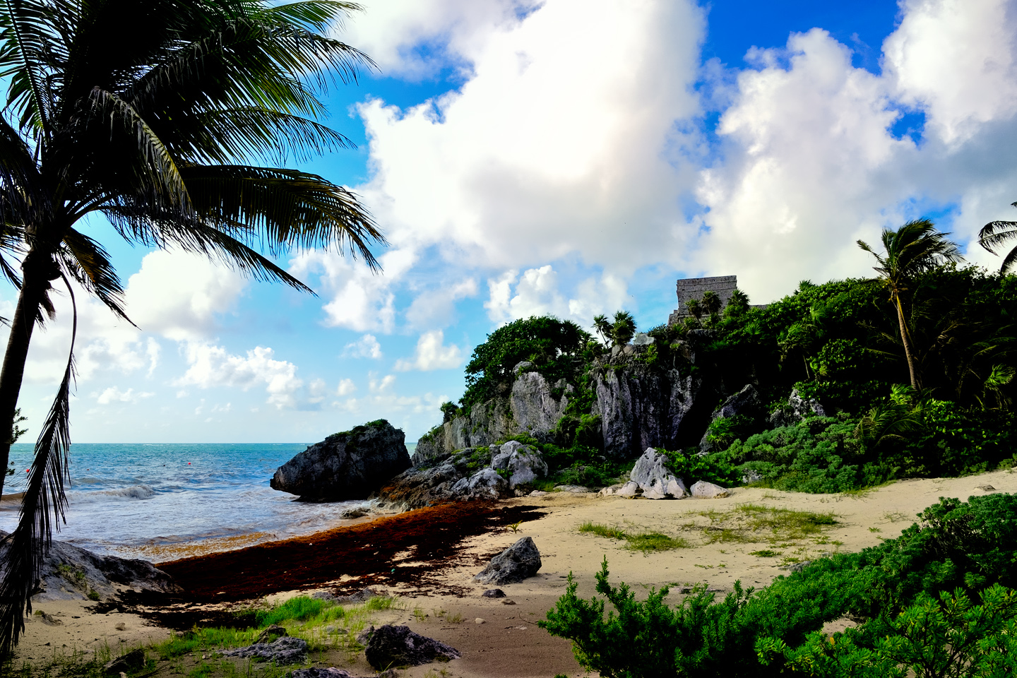
When Tulum was an active Mayan port, trade goods arrived in seagoing canoes that plied the coast. Loading and unloading took place on the beach below the cliffs, so they’ve built a wooden staircase for park visitors to make their way down to the water. The ocean is beautiful here, the many extraordinary shades of blue that are the hallmark of the Caribbean. Try to imagine what it must have been like when the Mayan city was at its peak. It would have truly been something to see!
The staff chased everyone out when the park closed at 5:00 PM. I would have loved to have stayed awhile longer, but I knew we’d be back first thing in the morning, so we’d have another opportunity to finish taking our photographs. So long as the weather cooperated, the early morning light on those eastward facing buildings might well be something special.
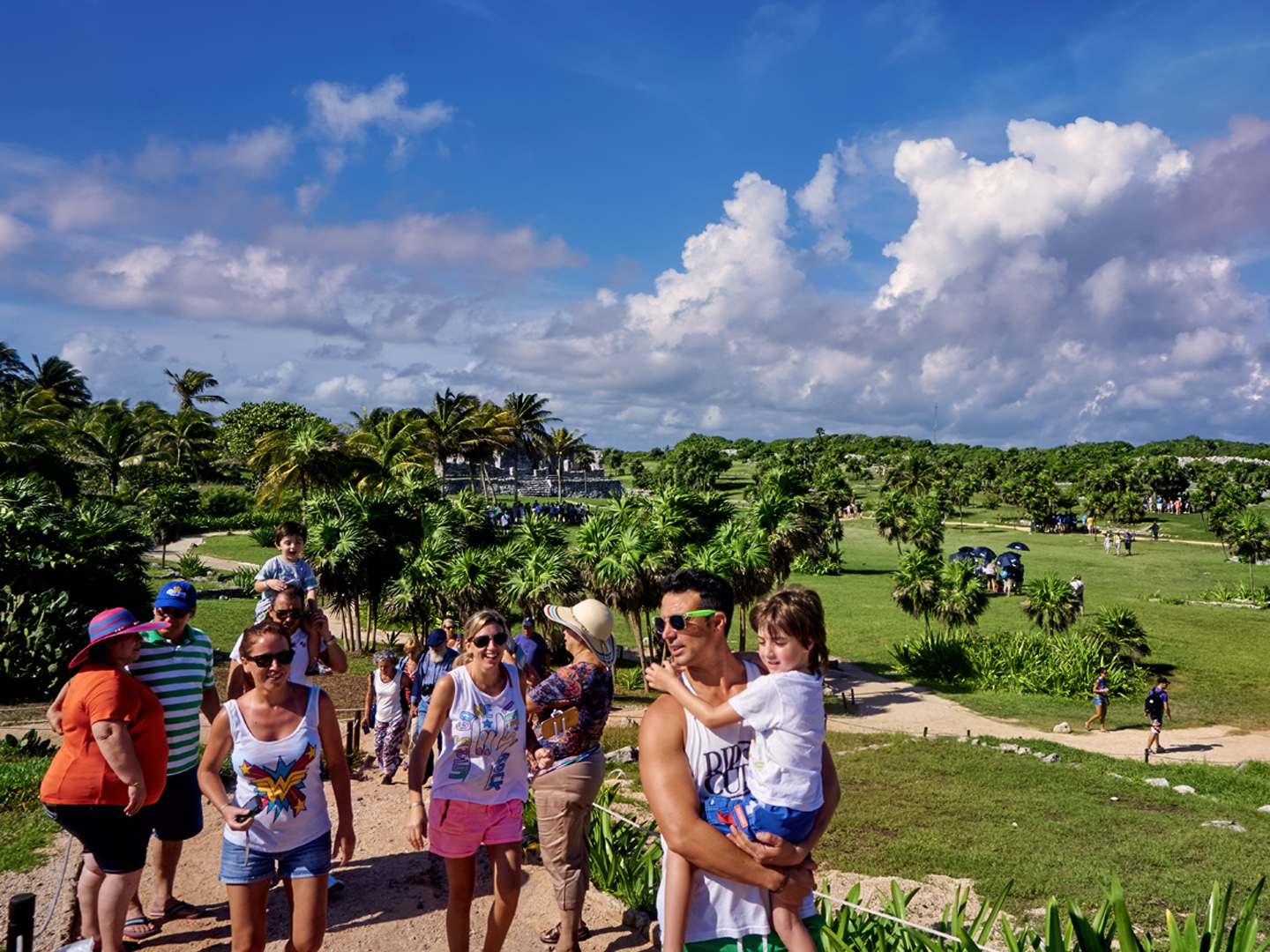
This first visit had been a bit crowded, despite being the off-season. There were at least a dozen tour groups clustered about the park at any given moment, and people were pretty much everywhere in an area that was a good bit smaller than the other Mayan cities we’d seen. The crowd wasn’t quite as bad as Chichén Itzá, but I’m sure the rain kept a few people away, so any other day probably would have been worse.
This off-season crowd is NOTHING compared to the herds of tourists that dominate in the spring and summer. Tulum is the second most popular Mayan ruin after Chichen Itza, attracting two million per year.
Day 13: Tulum, at the Break of Day
We woke up bright and early for our follow up visit to Tulum, but there was no skipping breakfast this time–not with a French bakery on the ground floor of our hotel. Even at that, we still managed to make it to the ruins before the parking lot opened, and we were (almost) the only passengers on the first tractor-drawn shuttle to the entrance. After dealing with crowds the day before, it was a pleasure to see the place all but empty on our second visit. (At least, at first!)
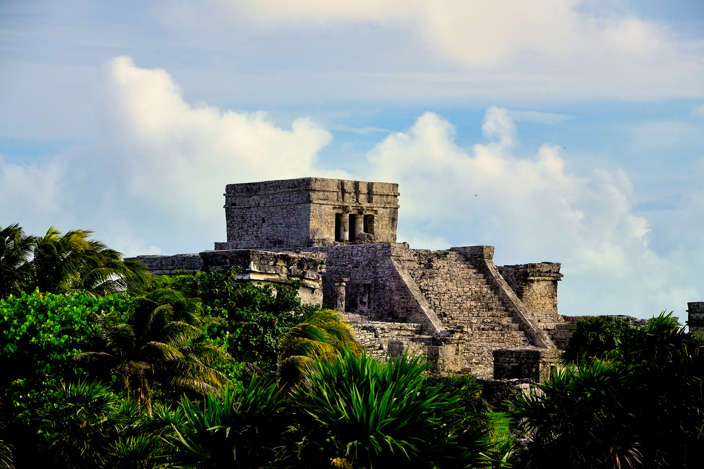
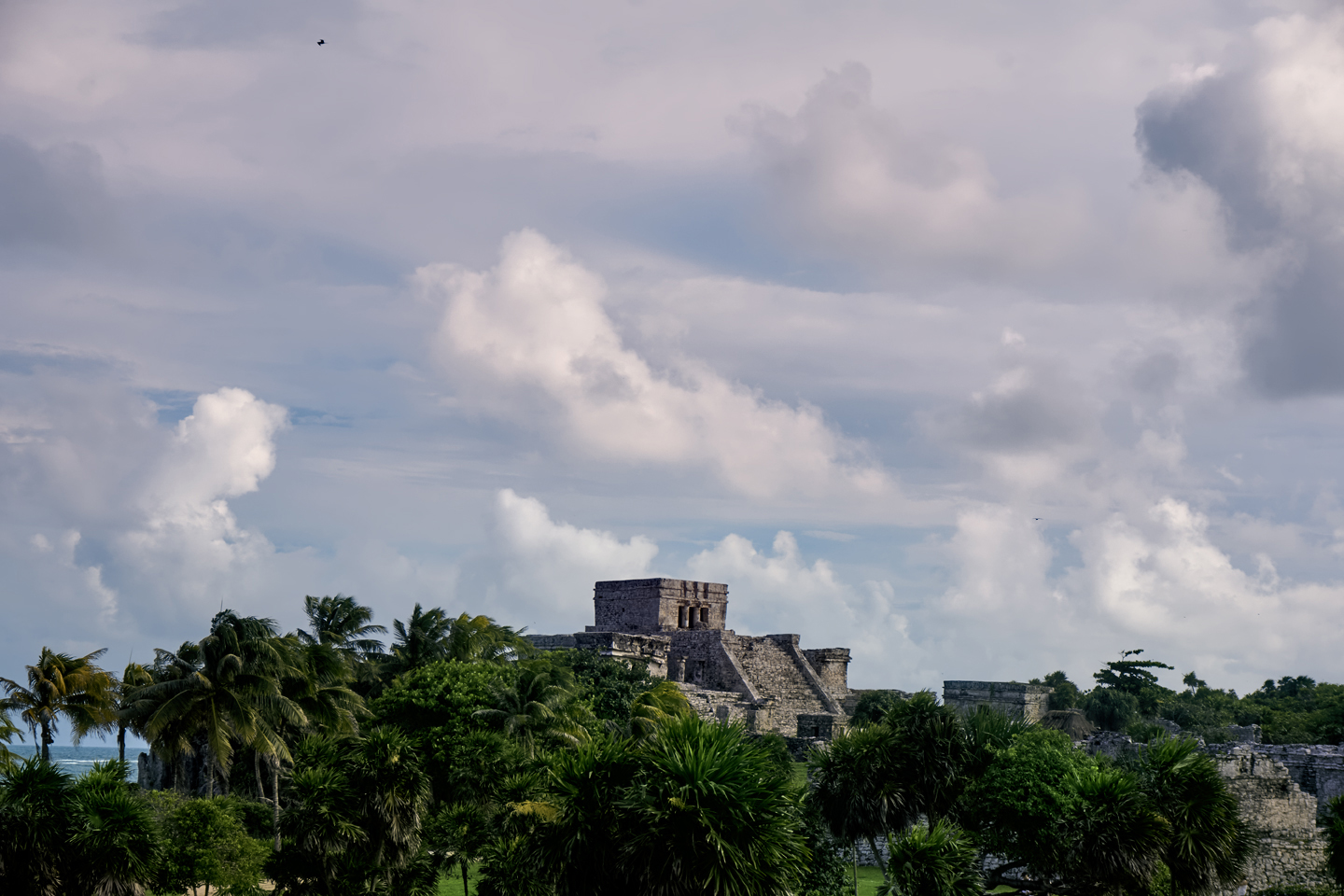
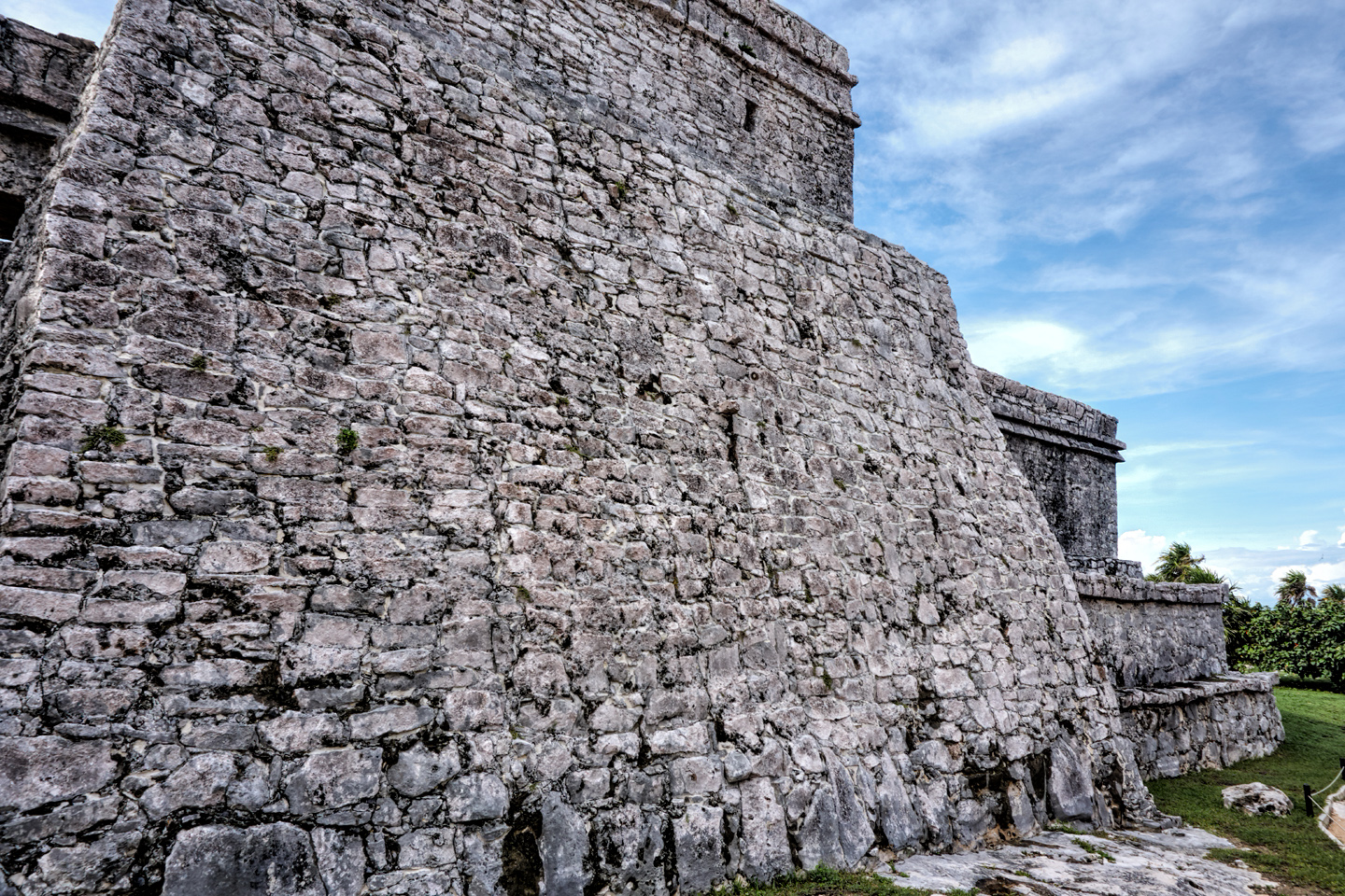
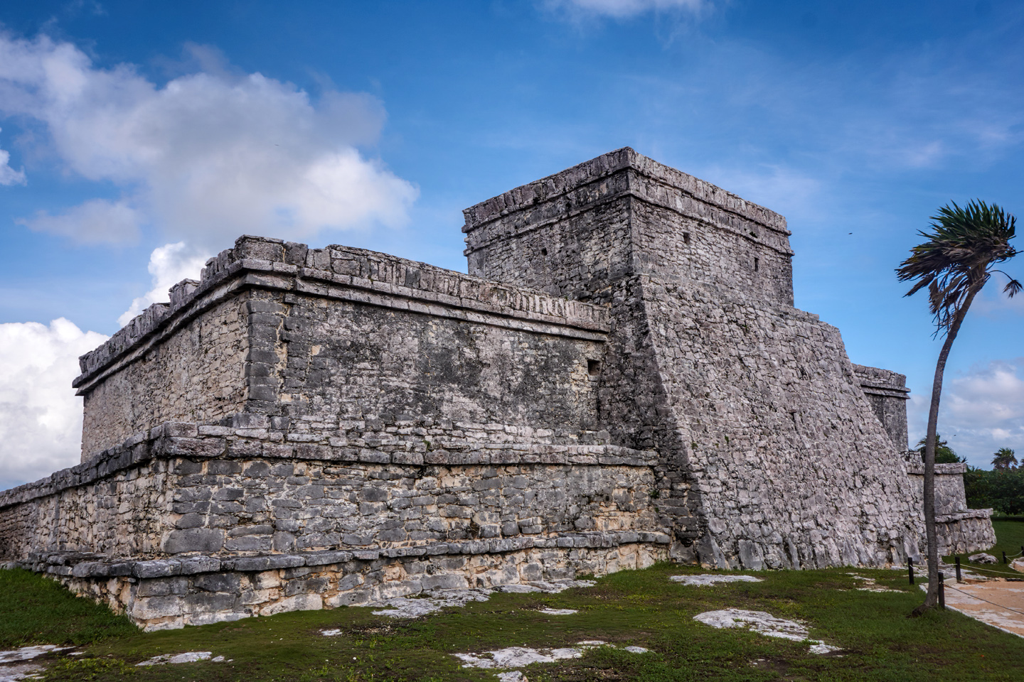
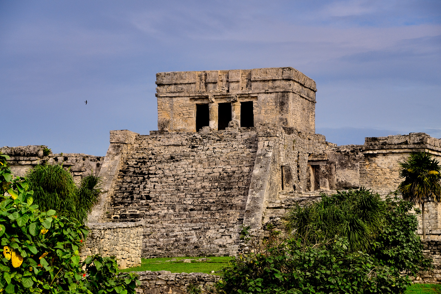
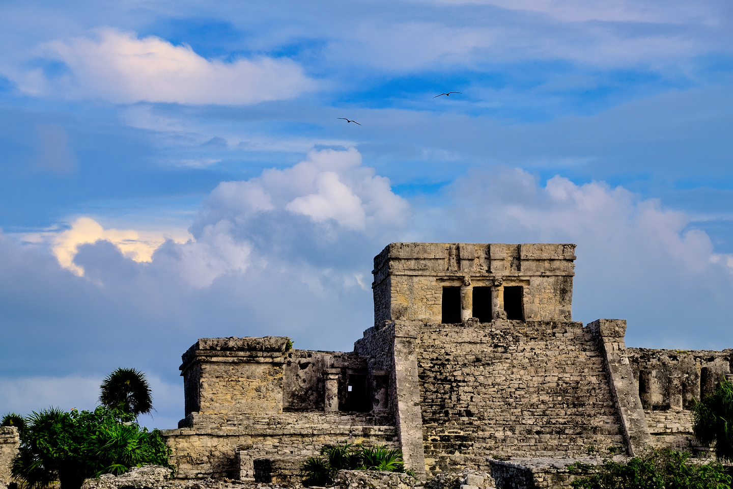
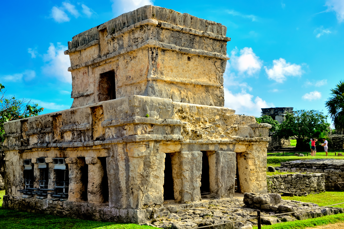
The most prominent building in Tulum is a truncated pyramid that stands at the eastern edge of the city, at the very top of the cliff that rises above the beach. Known as the Castillo, the Castle, the same name as the big pyramid at Chichén Itzá, the structure is thought to have served a dual purpose, as a temple, and as a combination landmark/lighthouse that guided boats headed to the port through a natural break in the offshore reef. The large, seaward facing wall would have been stuccoed and painted bright red, such that it would have been visible for quite a distance, and at night, the small windows at the top of the wall would have glowed like a pair of eyes from the signal fires within.
That morning, the sky was filled with amazing clouds that gave me a beautiful background for my photos of the Castillo, and there was great natural light coming across the water, from the sun that was still low in the east. I also got great photos of the second most well-known structure at Tulum, a much smaller stone building known as the Temple of the Wind. Four walls, a roof, and a door, it couldn’t be any simpler, but what sets it apart is its setting, atop a promontory overlooking the sea, and visible from just about everywhere.
CLICK MAPS AND PHOTOS TO EXPAND
Tulum is considered a Late Post-Classic site. It was at its peak from about 1250 AD up until the time of the Spanish Conquest, which is the period when most of the larger Mayan cities were already in terminal decline. From an architectural standpoint, the city is a hybrid, its buildings constructed mostly in the Peten Style, a manner of building which originated in Guatemala, but there is very definite influence from the Toltecs, the invaders from Central Mexico who arrived in the area in the 10th century. Tulum is an ideal tourist attraction, with park-like grounds and well-preserved buildings. You can see the whole place in two hours or less, there’s plenty of stuff to hold your interest, and it’s almost impossible to take a bad photograph. Many visitors to Cancun prefer Tulum to Chichén Itzá, because it’s so much easier to wrap your head around it. The buildings might not be as spectacular, but the experience, overall, is more digestible.
The ruin was small enough that we were easily able to cover the whole area during the hour or so before the crowds arrived.
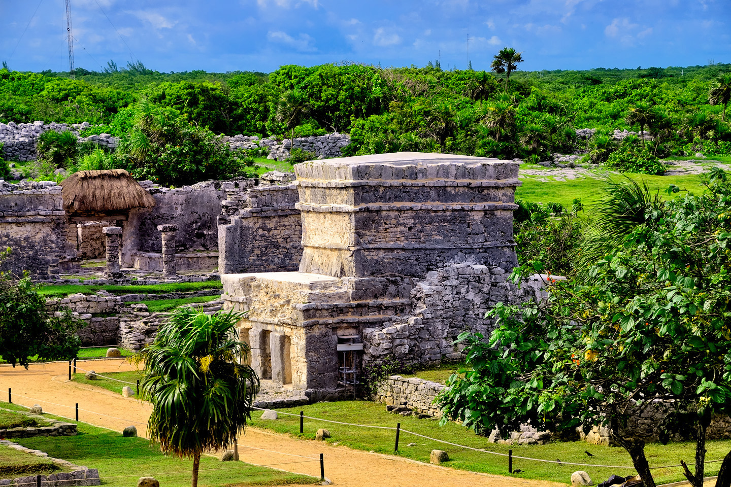
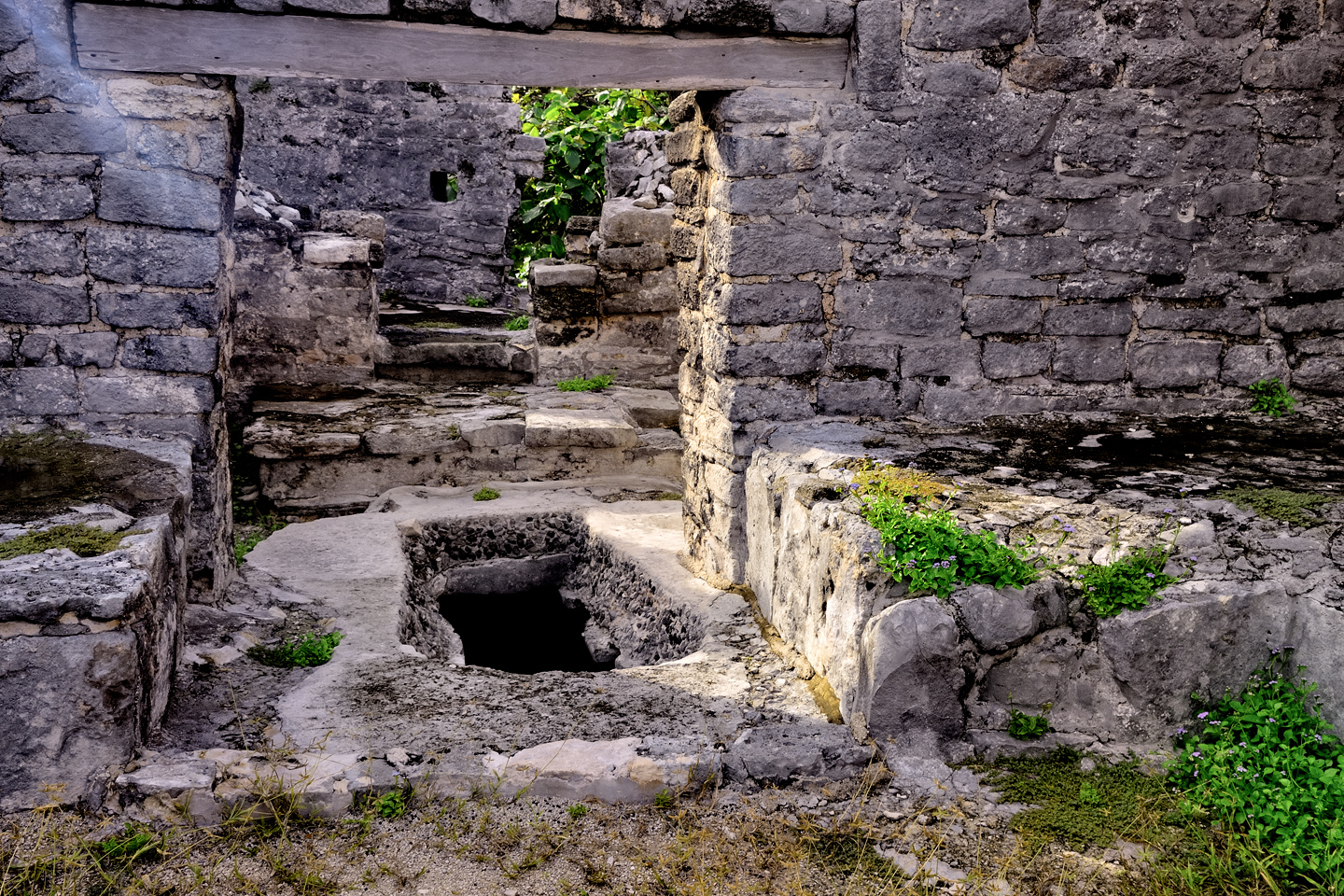
House of the Cenote, a residence or temple with its own well, an opening cut through to the water table.
Temple of the Frescoes, named for the painted murals that once covered the interior walls; faded, but still visible.
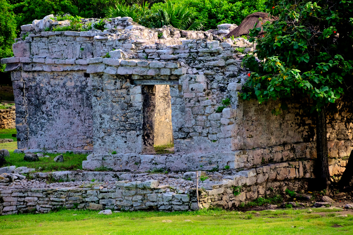
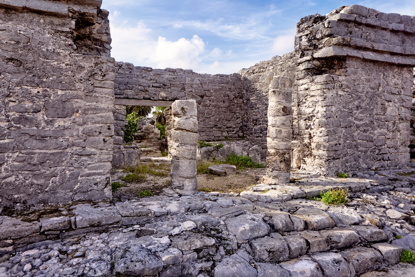
Two of the larger buildings, the House of the Columns, and the House of the Halach Uinic, both elite residences.
We sincerely enjoyed our follow-up visit to Tulum. Early arrival is a key strategy at a busy site like this one, and because we’d been there the day before, we were already familiar with the layout, and we didn’t have to waste any time getting oriented. All in all, it was a very efficient, highly productive photo session, and the natural light, from a sky half-filled with clouds, was fantastic. A few other visitors arrived during that first couple of hours, but it wasn’t until 10:00 AM, when the first of the big tour buses pulled into the lot, that the place started to feel crowded. That’s when we headed to the parking lot, our visit to this picturesque Mayan ruin now happily complete.
Next up: Mexican Road Trip: Circling the Yucatan, from Quintana Roo to Campeche
If I’ve piqued your interest about Tulum, and you’d like more information, you might be interested in reading my earlier post: Tulum: The City that Greets the Dawn. There’s more of everything, especially the history of the site, and there are many (many!) additional photos.

The photo collage below features additional photos taken on the road in Mexico by my inestimable shotgun rider, Michael Fritz. Click any image to expand them to full screen:
(Unless otherwise noted, all other images are my (or Michael’s) original work, and are protected by copyright. They may not be duplicated for commercial purposes.)
Click any photo to expand the image to full screen
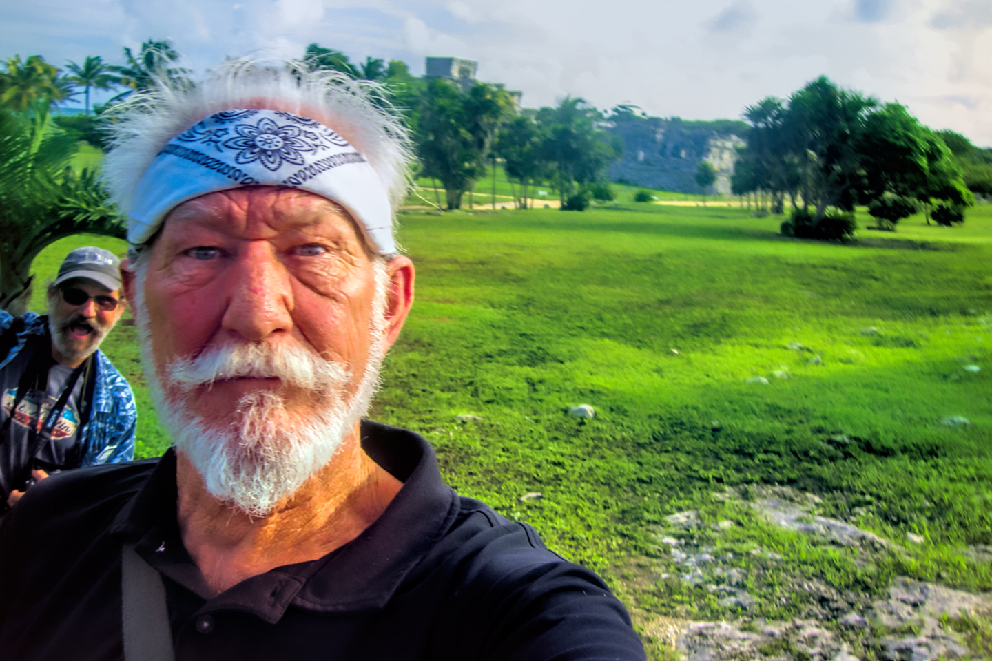
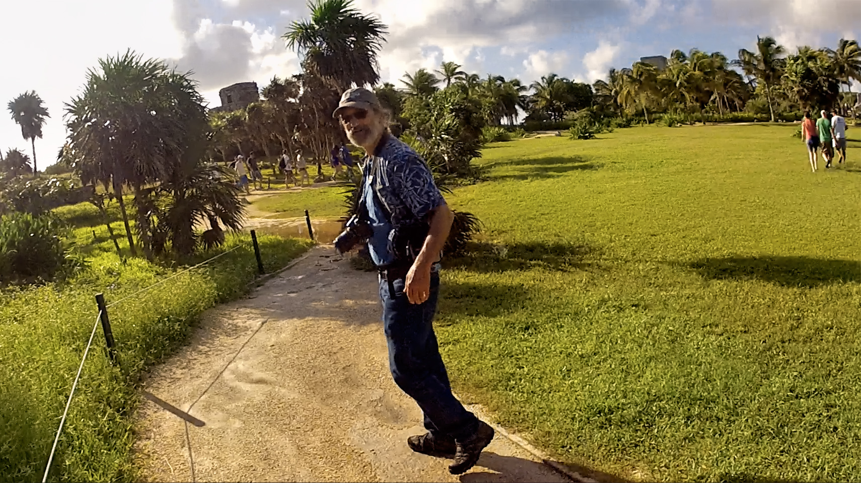
Michael Fritz, “Elmo,” 1949-2025
READ MORE LIKE THIS:
This is an interactive Table of Contents. Click the thumbnails to open the pages.
ON THE ROAD IN MEXICO

MEXICAN ROAD TRIP: HOW TO PLAN AND PREPARE FOR A DRIVE TO THE YUCATAN
The published threat levels are a “full-stop” deal breaker for the average tourist. That’s unfortunate, because Mexican road trips are fantastic! Yes, there are risks, but all you have to do to reduce those risks to to an acceptable level is follow a few simple guidelines.
<<CLICK to Read More!>>

Mexican Road Trip: Heading South, From Laredo to Villahermosa
When it was our turn, soldiers in SWAT gear surrounded my Jeep, and an officer with a machine gun gestured for me to roll down my window. He asked me where we were going. I’d learned my lesson in customs, and knew better than to mention the Yucatan. “We’re going to Monterrey,” I said, without elaborating.
He checked our ID’s and our travel documents, then handed them back. “Don’t stop along the way,” he advised. “You need to get off this road and to a safe place as quickly as you can!”
<<CLICK to Read More!>>

Mexican Road Trip: Zapatista Road Blocks in Chiapas
“Good morning,” I said. “We’re driving to Palenque. Will you allow us to pass?”
The leader of the group, a young Mayan lad, walked up beside my Jeep, and fixed me with a menacing glare. “The road is closed,” he said, keeping his hand on the hilt of his machete. “By order of the Ejército Zapatista de Liberación Nacional!”
“Is it closed to everyone?” I asked innocently. “How about if we pay a toll? How much would the toll be?”
He gave me an even more menacing glare. “That will cost you everything you’ve got,” he said gruffly, brandishing his machete, while his companions did the same.
<<CLICK to Read More!>>

Mexican Road Trip: Mayan Ruins and Waterfalls in the Lacandon Jungle
The next morning, we were waiting at the entrance to the Archaeological Park a half hour before they opened for the day. We were the only ones there, so they let us through early, and I had the glorious privelege of photographing that wonderful ruin in the golden light of early morning, without a single fellow tourist cluttering my view.
<<CLICK to Read More!>>

Mexican Road Trip: Merida and the Meridanos
Merida is the largest city in southern Mexico, with a population of almost a million. Statistically, Yucatan is the safest of Mexico’s states, and Merida is widely considered the safest of all Mexico’s cities.
<<CLICK to Read More!>>


Mexican Road Trip: Cancún, Tulum, and the Riviera Maya
The millions of tourists who fly directly to Cancún from the U.S. or Canada are seeing the place out of context. They can’t possibly appreciate the fact that they’re 2,000 miles south of the border; a whole country, a whole culture, a whole history away from the U.S.A. Just looking around, on the surface? The second largest city in southern Mexico could easily pass for a beach town in Florida.
<<CLICK to Read More!>>

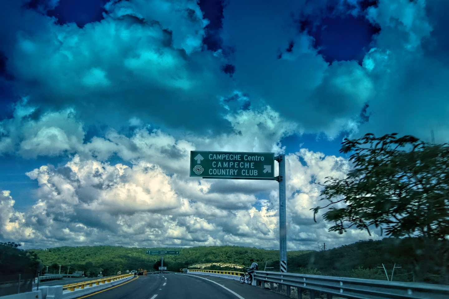
Mexican Road Trip: Circling the Yucatan, from Quintana Roo to Campeche
The Castillo at Muyil isn't huge, as Mayan pyramids go, topping out at just over 50 feet, but it’s definitely imposing. Try to imagine: the equivalent of a five story building, with a three story grand staircase, just appearing, out in the middle of nowhere? Boo-yah!
<<CLICK to Read More!>>

Mexican Road Trip: Edzná, and Campeche, Where They Dance La Guaranducha
La Guaranducha, a traditional dance from Campeche, is a celebration of life, community, and the joy of existence. On stage, there was a group of young men and women in traditional dress, but it was clear that the guys were little more than props, because all eyes were on the girls. So colorful, and so elegant, hiding coyly behind their pleated, folding hand fans.

Mexican Road Trip: Adventures Along the Puuc Route
All of these communities in the Puuc region were allied, politically, culturally, economically, and socially. The Puuc was the cradle of the Golden Age of the Maya. Labna and Sayil were among the brightest jewels in the crown of a realm that never quite coalesced into an empire.
<<CLICK to Read More!>>

Mexican Road Trip: The Road to Bonampak
Rainwater seeping through the limestone walls of the temple soaked the Bonampak Murals with a mineral-rich solution that, each time it dried, left behind a sheen of translucent calcite. The built-up coating protected the paintings for more than 1200 years. As a result, we're left with the finest examples of ancient art from the Americas to have survived into our modern era.

Mexican Road Trip: Crossing the Chiapas Highlands, to San Cristobal de las Casas
MX 199 crosses the Chiapas Highlands from Palenque to San Cristobal de las Casas. The distance is only 132 miles, but it's 132 miles of curvy mountain roads with switchbacks, steep grades, slow trucks, and villages chock-a-block with topes and bloqueos, unofficial road blocks. Everything I read, and everything I heard, described the drive as alternatively spectacular, dangerous, and fascinating, in seemingly equal measure.

Mexican Road Trip: Cruising the Sierra Madre, from San Cristobal to Oaxaca
Today, we’d be driving as far as the city of Oaxaca, 380 miles of curves, switchbacks, and rolling hills that would require at least ten hours of our full attention, crossing the Sierra Madre de Chiapas, and entering the rugged, agave-studded landscape of the Sierra Madre de Oaxaca. If you’d like to know what that was like, read on!

Mexican Road Trip: Flashing Lights in the Rear View: Officer Plata and La Mordida
As we drove away from the toll plaza, a State Police car that had been parked off to one side made a fast U-Turn and started following me. A moment later, he turned on his flashers and gave me a short blast on his siren, motioning for me to pull over. Two uniformed policemen got out, and approached me on the driver's side. One of them hung back, apparently checking out my license plate before making a phone call.
I wasn't sure if I was being stopped for some infraction, or if these guys were just fishing...

Mexican Road Trip: Three Days of the Dead in San Miguel de Allende
By mid-afternoon, the Jardin was beginning to fill with people. Painted faces were literally everywhere! It was like a costume party, but the venue wasn’t some hall or other indoor space, it was the whole entire town! Mike and I were definitely getting into the spirit of the thing–but we still drew the line at the notion of painting our beards...
Mexican Road Trip: Back to the Border: San Miguel de Allende to Eagle Pass
Saltillo was our crossroads: if we turned east here, we’d be retracing our previous route to the border at Nuevo Laredo--along the Highway of Death! This time, we knew better, so we turned north, toward Monclova, and Piedras Negras.


Southern Colonials: Merida, Campeche, and San Cristobal
Visiting the Spanish Colonial cities of Mexico is almost like traveling back in time. Narrow cobblestone streets wind between buildings, facades, and stately old mansions that date back three hundred years or more, along with beautiful plazas, parks, and soaring cathedrals, all of similar vintage.
<<CLICK to Read More!>>

San Miguel de Allende, Mexico's Colonial Gem
If you include the chilangos, (escapees from Mexico City), close to 20% of the population of San Miguel de Allende is from somewhere else, a figure that includes several thousand American retirees.
<<CLICK to Read More!>>

Day of the Dead in San Miguel de Allende
In San Miguel de Allende, they've adopted a variation on the American version of Halloween and made it a part of their Day of the Dead celebration. Costumed children circle the square seeking candy hand-outs from the crowd of onlookers. It's a wonderful, colorful parade that's all about the treats, with no tricks!
<<CLICK to Read More!>>
DIA DE LOS MUERTOS: A GALLERY OF PHOTOGRAPHS


IN THE LAND OF THE MAYA

Palenque: Mayan City in the Hills of Chiapas
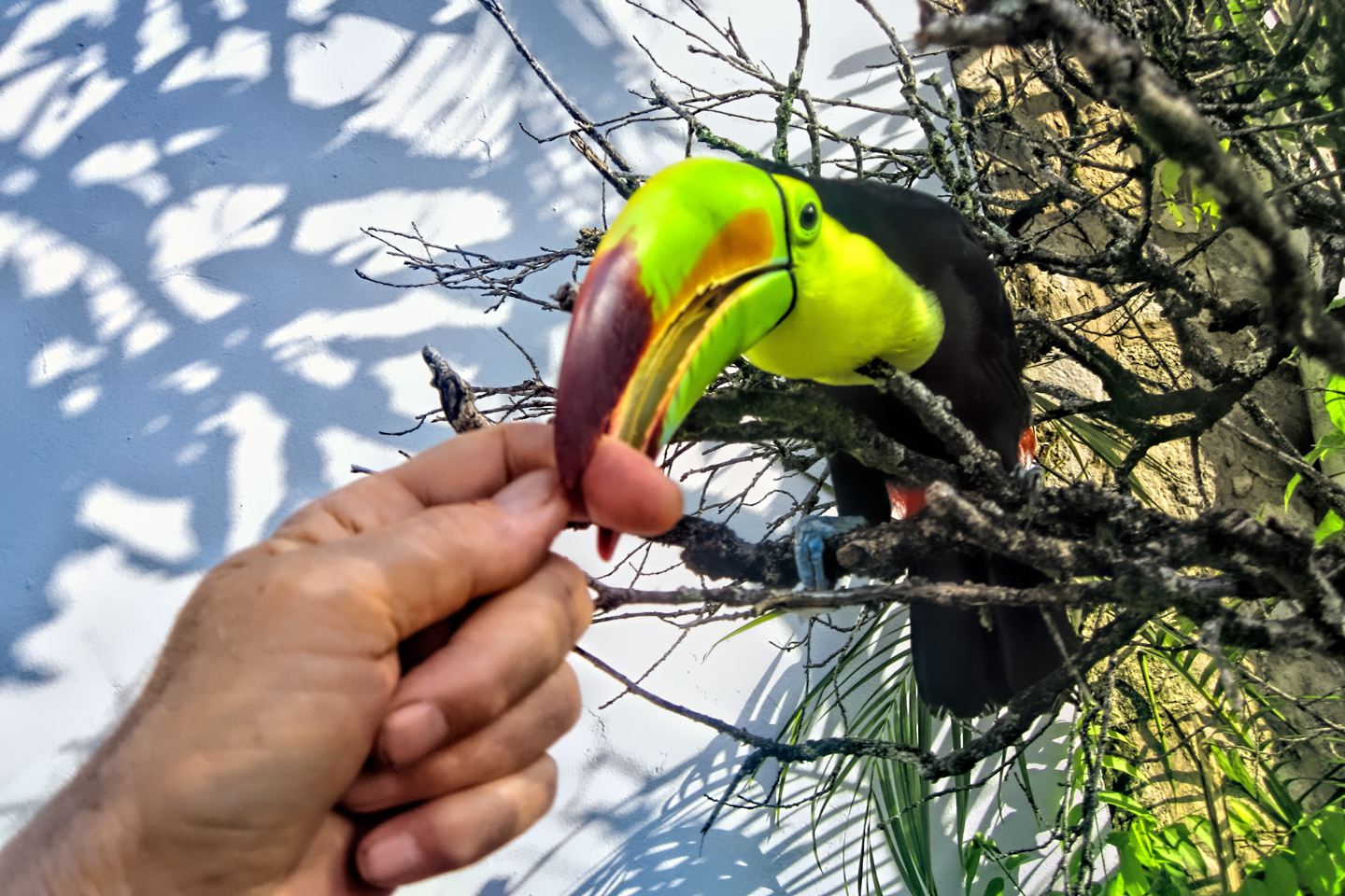
Palenque! Just hearing the name conjures images of crumbling limestone pyramids rising up out of the jungle, of palaces and temples cloaked in mist, ornate stone carvings, colorful parrots and toucans flitting from tree to tree in the dense forest that constantly encroaches, threatening to swallow the place whole.
<<CLICK to Read More!>>

Uxmal: Architectural Perfection in the Land of the Maya
The Pyramid of the Magician is one of the most impressive monuments I've ever seen. There's a powerful energy in that spot--maybe something to do with all the blood that was spilled on the altars of human sacrifice at the top of those impossibly steep steps--but more than any building or other structure at any ancient ruin I've ever visited, more than any demonic ancient sculpture I've ever seen, that pyramid at Uxmal quite frankly scared the hell out of me!
<<CLICK to Read More!>>

The Mayan City of Edzná: First House of the Itzás
The Mayan Edzná is nothing less than epic, lyrical poetry, an extraordinary sonnet comprised of temples and palaces carved in stone that have stood, in regal grandeur, for more than a thousand years.
<<CLICK to Read More!>>

Photographer's Assignment: Chichén Itzá
To get the best photos, arrive at the park before it opens at 8 AM. There will only be a handful of other visitors, and you’ll have the place practically all to yourself for as much as two hours! Take your time composing your perfect shot.There won’t be a single selfie stick in sight.
<<CLICK to Read More!>>

Chichén Itzá: Requiem for the Feathered Serpent
The feathered serpent with the unquenchable thirst for blood may be gone now, or at least fallen out of favor, but as long as the ruins of this ancient city remain standing, he won’t be forgotten.
<<CLICK to Read More!>>
Tulum: The City that Greets the Dawn
Tulum is not all that large, as Mayan sites go, but its spectacular location, right on the east coast of the Yucatan Peninsula, makes it one of the best known, and definitely one of the most picturesque.
<<CLICK to Read More!>>

Cobá and Muyil: Mayan Cities in Quintana Roo
Cobá was a trading hub, positioned at the nexus of a network of raised stone and plaster causeways known as the sacbeob, the white roads, some of which extended for as much as 100 kilometers, connecting far-flung Mayan communities and helping to cement the influence of this powerful city.
<<CLICK to Read More!>>

Becan and Chicanná: Mayan Cities in the Rio Bec Style
Much about the Rio Bec architectural style was based on illusion: common elements include staircases that go nowhere and serve no function, false doorways into alcoves that end in blank walls, and buildings that appear to be temples, but are actually solid structures with no interior space.
<<CLICK to Read More!>>

The Puuc Hills: Apex of Mayan Architecture
The Puuc style was a whole new way of building. The craftsmanship was unsurpassed, and some of the monumental structures created in this period, most notably the Governor’s Palace at Uxmal, rank among the greatest architectural achievements of all time.
<<CLICK to Read More!>>

The Amazing Mayan Murals of Bonampak
Out of that handful of Mayan sites where mural paintings have survived, there is one in particular that stands head and shoulders above the rest. One very special place. Down by the Guatemalan border, in a remote corner of the Mexican State of Chiapas: a small Mayan ruin known as Bonampak.
<<CLICK to Read More!>>
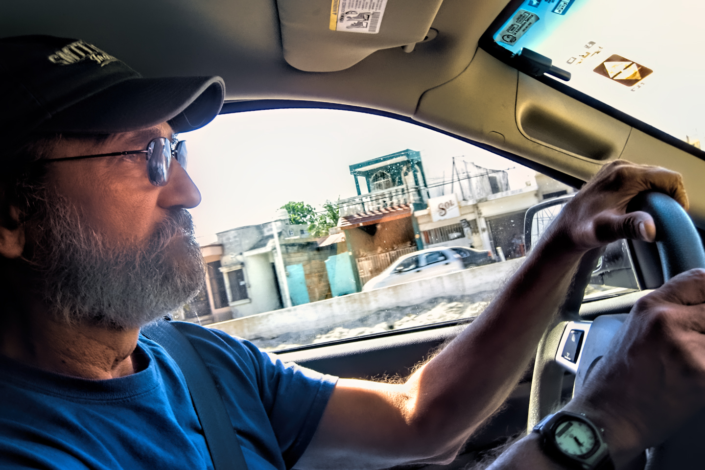
This series of posts is dedicated to my old friend Mike Fritz (aka Mr. Whiskers), my shotgun rider on my Mexican Road Trip. "Drive to the Yucatan and See Mayan Ruins" was at the top of my post-retirement bucket list, right after "Drive the Alaska Highway and see Denali." We checked off the whole Yucatan thing in a major way, and Mike was a heck of a good sport about it.
Michael passed away in February of 2025, after 75 years of a life well-lived. He was unique, and he'll be missed.

Michael Fritz ("Elmo") 1949-2025

There's nothing like a good road trip. Whether you're flying solo or with your family, on a motorcycle or in an RV, across your state or across the country, the important thing is that you're out there, away from your town, your work, your routine, meeting new people, seeing new sights, building the best kind of memories while living your life to the fullest.
Are you a veteran road tripper who loves grand vistas, or someone who's never done it, but would love to give it a try? Either way, you should consider making the Southwestern U.S. the scene of your own next adventure.
A few years ago I wrote a book about road trips in Arizona and New Mexico that's a lot like this website, packed with interesting information, and illustrated with beautiful photographs. Check it out! You can find it on Amazon, and at all other major booksellers.

ALASKA ROAD TRIP:
MEXICAN ROAD TRIP (IN THE LAND OF THE MAYA):
ARIZONA AND NEW MEXICO:
SOUTH AMERICA:
PHOTOGRAPHY:
TRIBAL LANDS:


Recent Comments