DAY 21:
From: SAN CRISTOBAL DE LAS CASAS
To: OAXACA
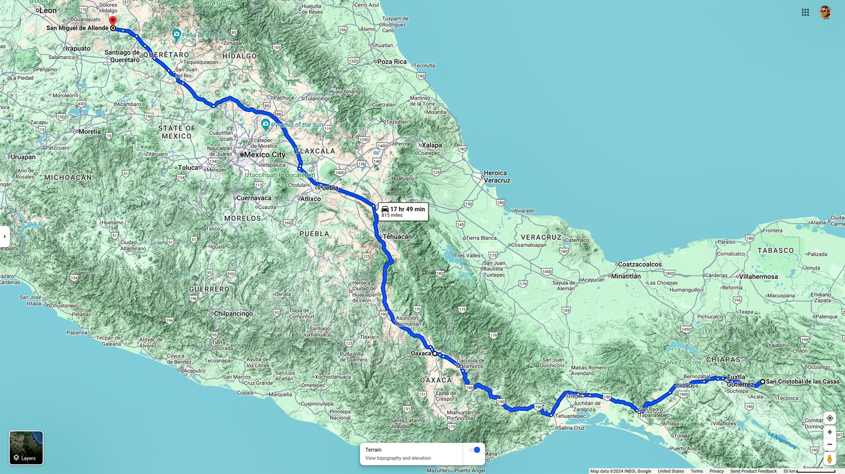
Day 21! We’d been on the road in Mexico for three very full weeks, and for most of that time, we had no fixed itinerary, and no set schedule. We never planned more than a day or two ahead, so the route that we were following evolved as we drove along. I prefer that style of travel, personally, because it affords maximum flexibility, but now that we were closing in on the last phase of our road trip, all that flexibility went right out the window. We wanted to experience Dia de los Muertos, the Day of the Dead celebration, and we’d concluded that the best place for us to do that would be in San Miguel de Allende, the charming Pueblo Magico and UNESCO World Heritage site, five hours north of Mexico City. We’d passed through there far too briefly on our drive south, and we’d vowed to return for a proper visit on our way back north. The three day fiesta was going to be our last hurrah before our final push back to the border, the cherry on the top of our Mexican Road Trip, and timing was suddenly critical. It was going to take us two full days of driving, just to get there in time for the start of the holiday. We’d spend three days and nights in San Miguel, and that would leave us exactly two days for the drive to the border and on to Austin, where we’d be arriving just in time for Mike to catch his flight back home. It was all perfectly doable, and perfectly timed, but there was ZERO room for any deviation or delay.
San Miguel de Allende is one of the most popular destinations in Mexico during the Day of the Dead holiday; we’d been warned about that, so we’d used Expedia.Mx to find a hotel with availability (the Hotel San Ramon), and we’d made our reservations weeks in advance. Knowing that we had our lodging squared away for the necessary dates was a good feeling, but this two-day drive we were facing wasn’t going to be like crossing Kansas on the Interstate. There were at least a bazillion things that could go wrong and prevent us from getting to San Miguel on schedule. We had just two days to cover most of the length of the country, much of that considerable distance over dangerously beautiful mountain roads…
San Cristobal de las Casas to San Miguel de Allende
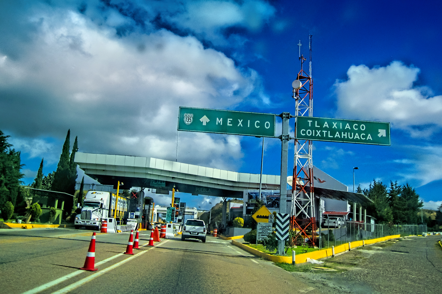
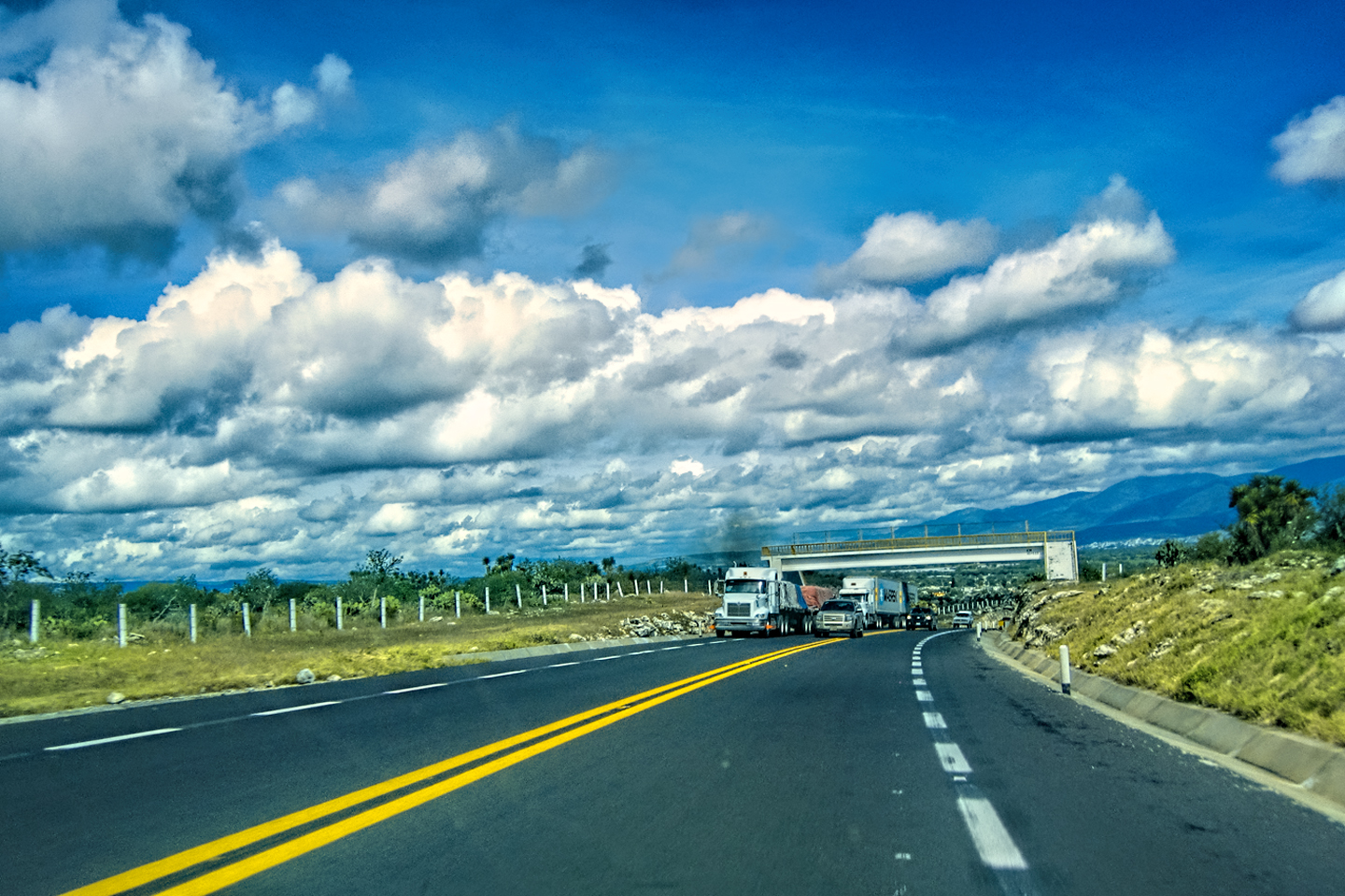
Today, we’d be driving as far as the city of Oaxaca, 380 miles of curves, switchbacks, and rolling hills that would require at least ten hours of our full attention, crossing the Sierra Madre de Chiapas, traversing the Isthmus of Tehuantepec, and entering the rugged, agave-studded landscape of the Sierra Madre de Oaxaca. If you’d like to know what that was like, read on! (CLICK PHOTOS AND MAPS TO EXPAND)
CROSSING THE SIERRA MADRE
on MX 190
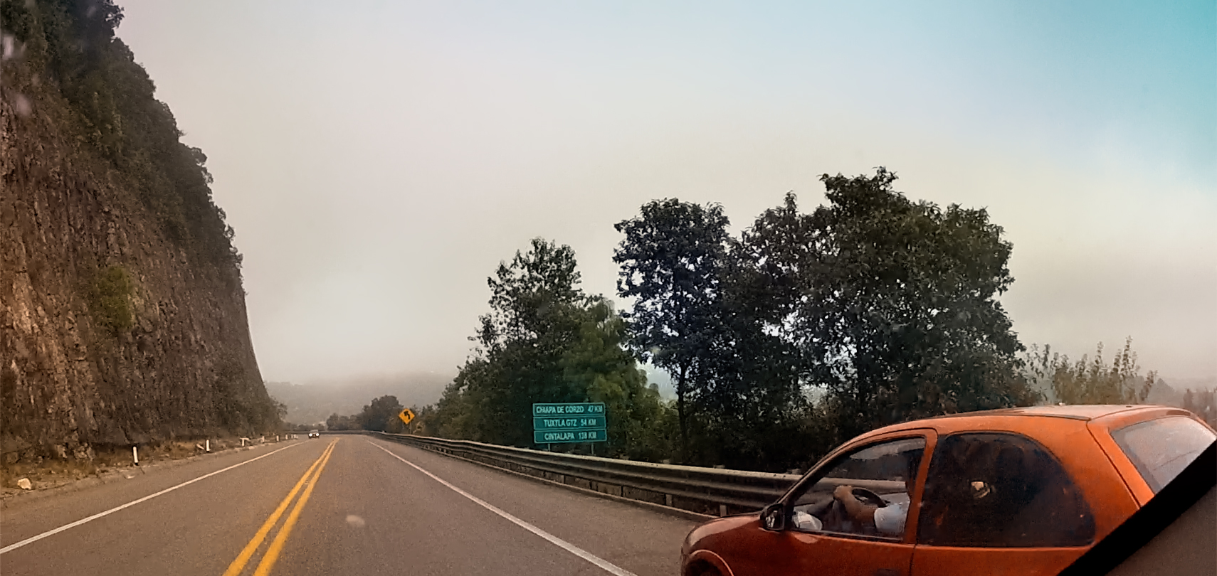
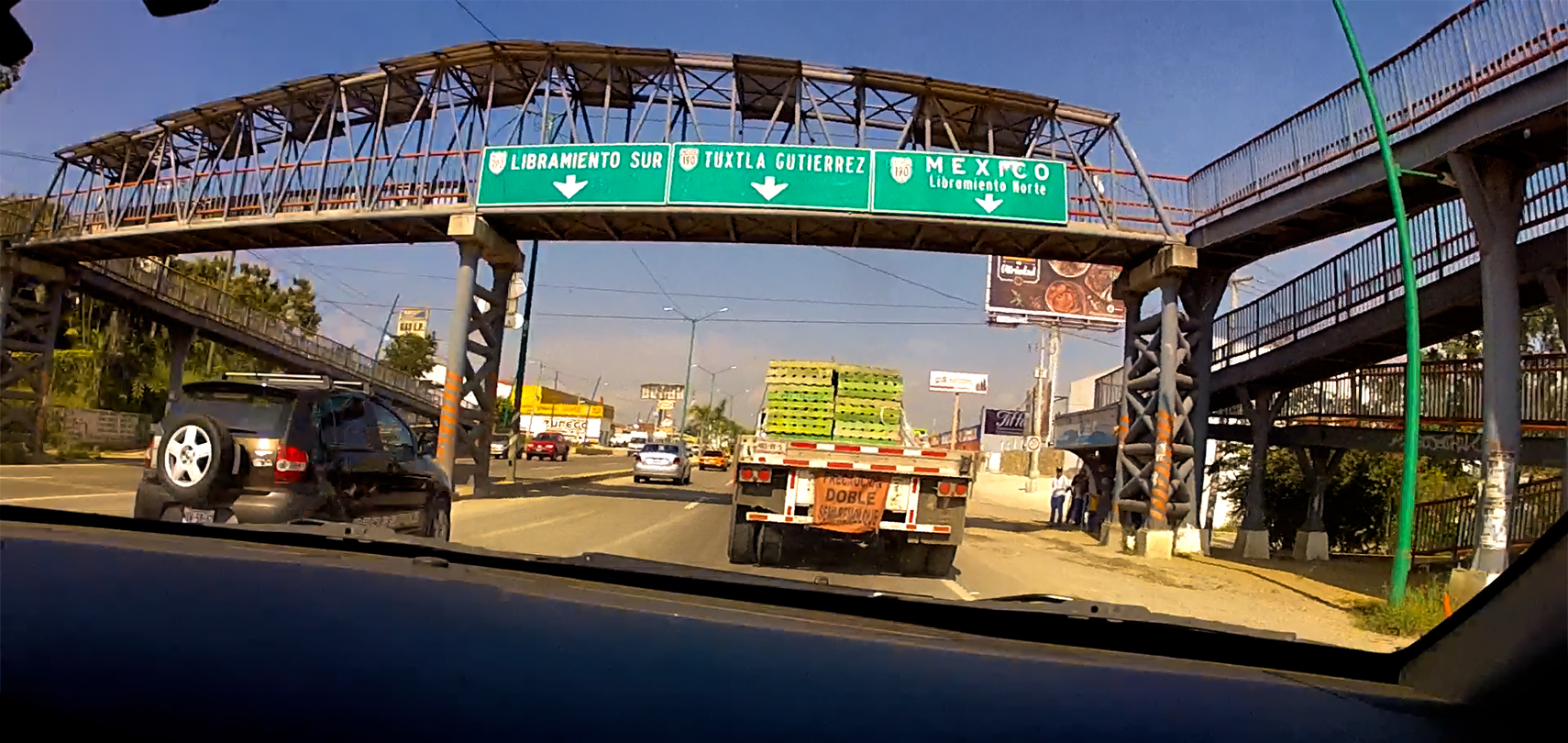
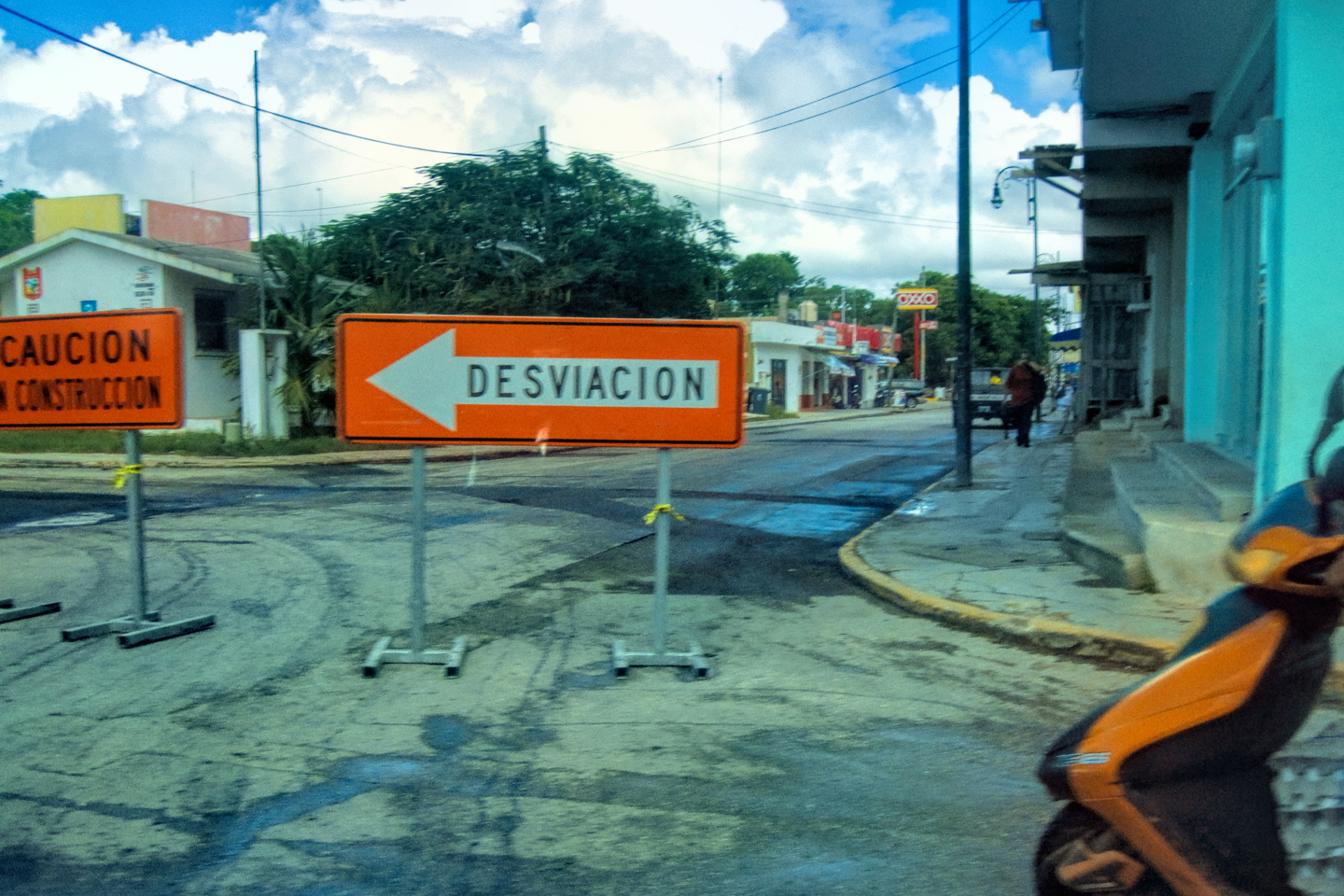
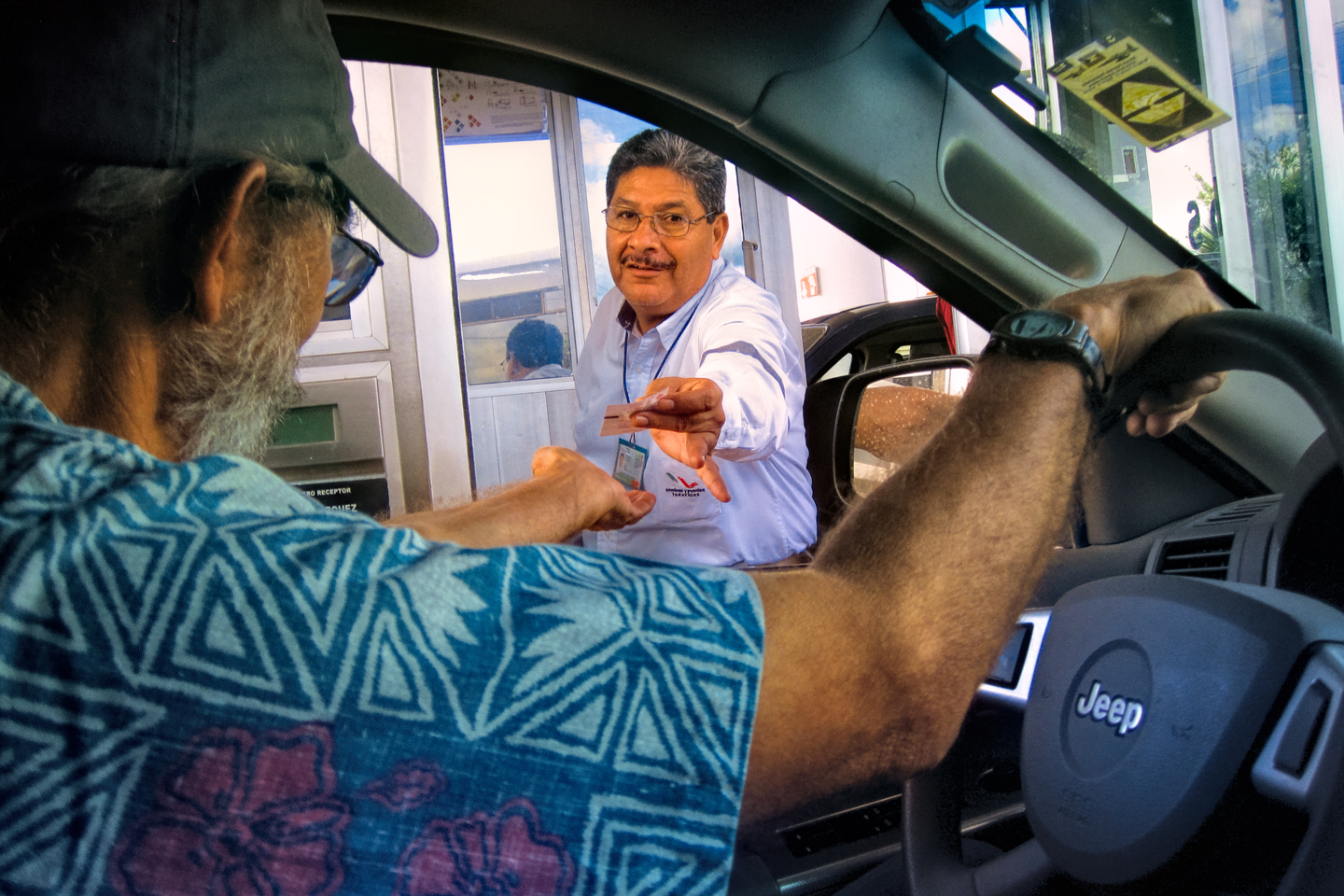
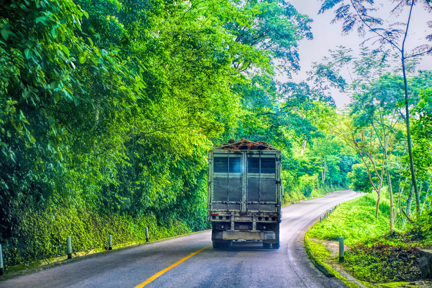
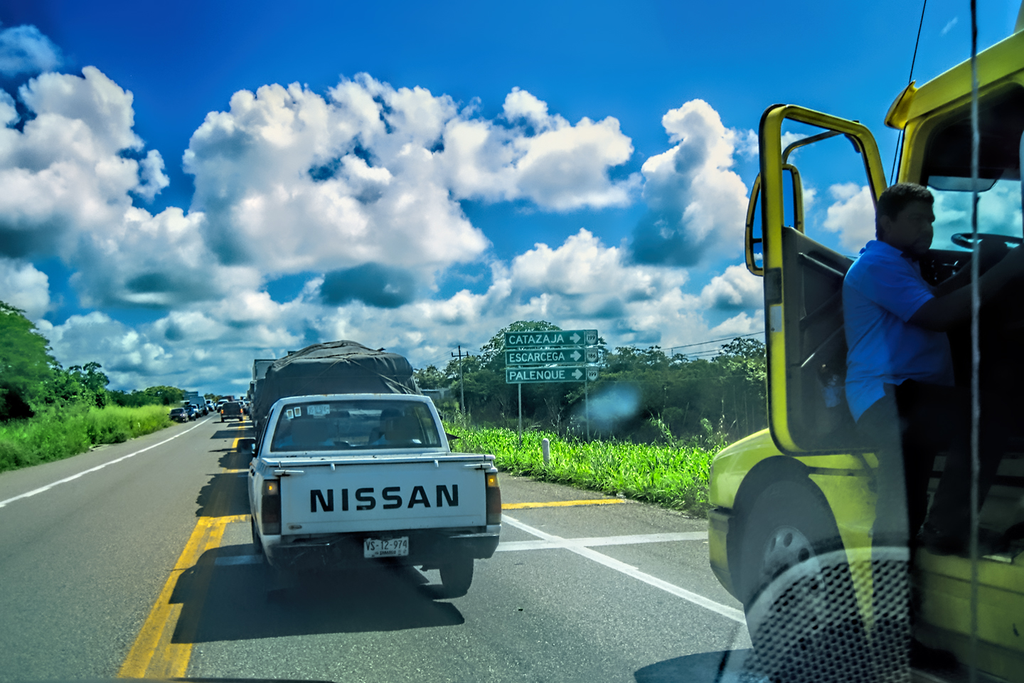
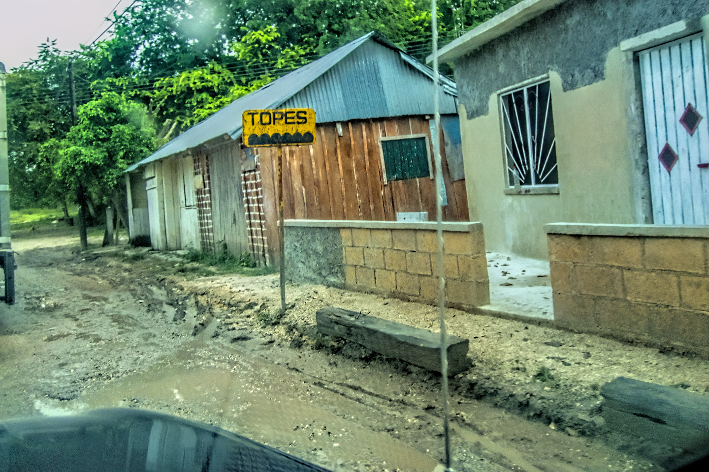
San Cristobal de las Casas is an old city that was laid out long before the advent of automobiles, so most of the roads are narrow one-way streets, and those few that are not tend to be jam-packed with more traffic than they can handle. In order to get out of town, we had to join that slow-and-go herd, dodging taxis, trucks, and pedestrians through the business district, until we finally spied a sign pointing toward the Toll Road to Tuxtla Guttierez.
Scenes along the road leaving San Cristobal de las Casas
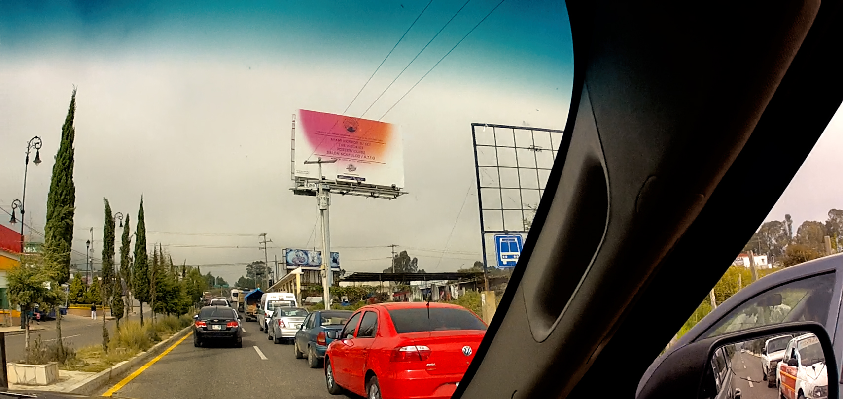
Scenes along MX 190 from San Cristobal de las Casas to Tuxtla Guttierez
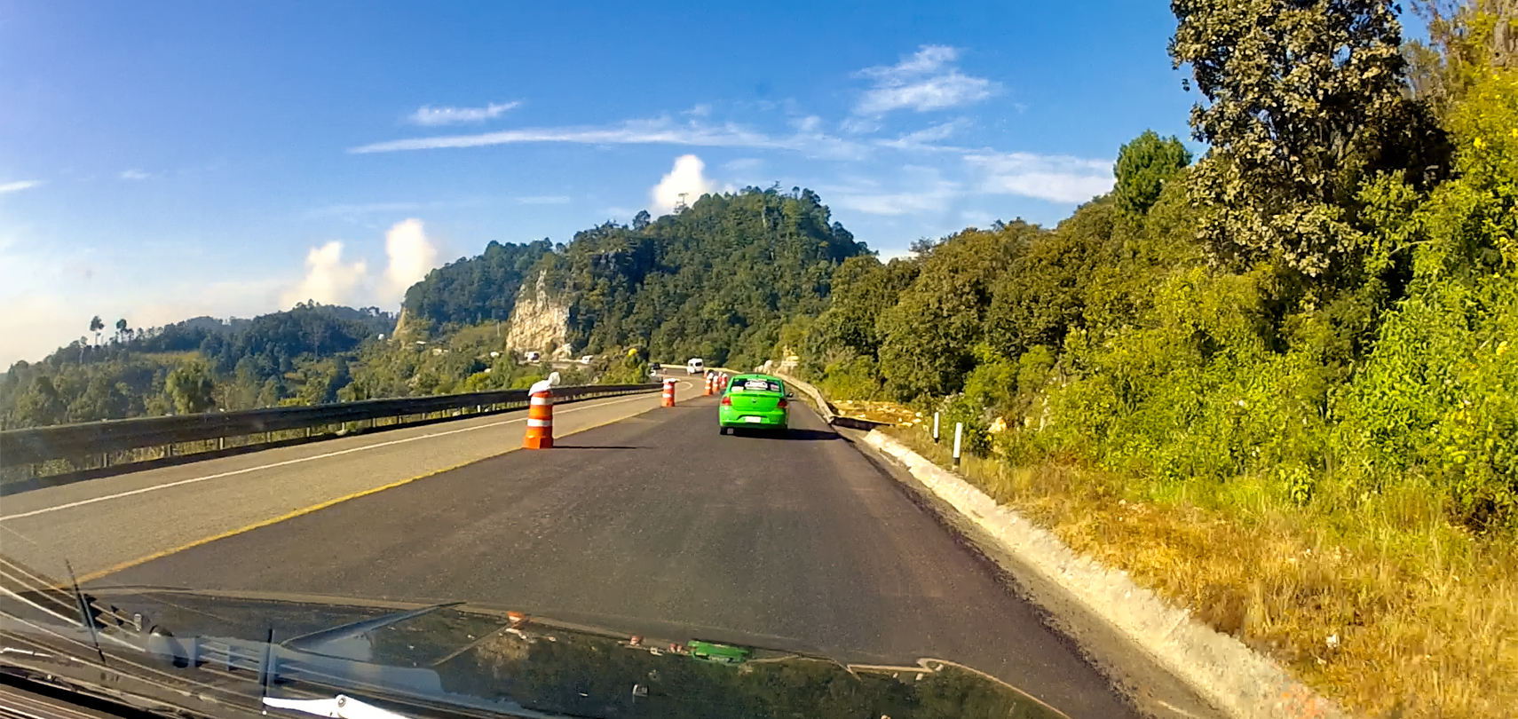
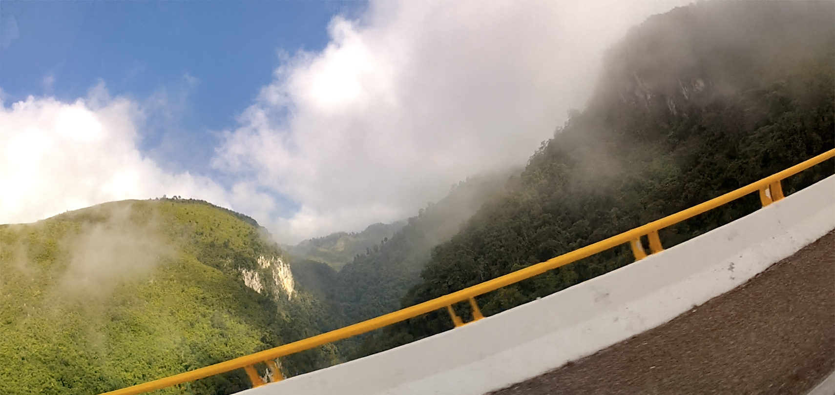
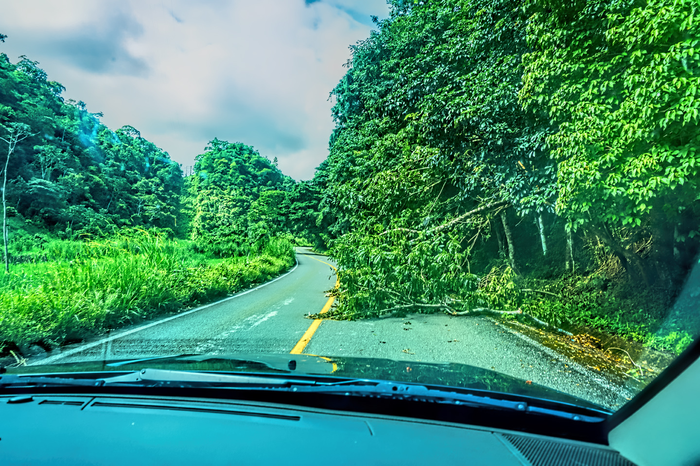
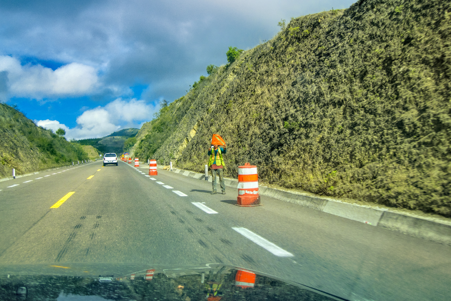
The city is surrounded by mountains, so once we found that road to Tuxtla, we started climbing. It was early, so the morning fog common to this route had not yet lifted; it was almost like driving into the clouds. There was a slowdown for road repairs a few miles outside of town, a common scenario in these mountains, where frequent rockslides damage the asphalt, and create hazardous driving conditions.
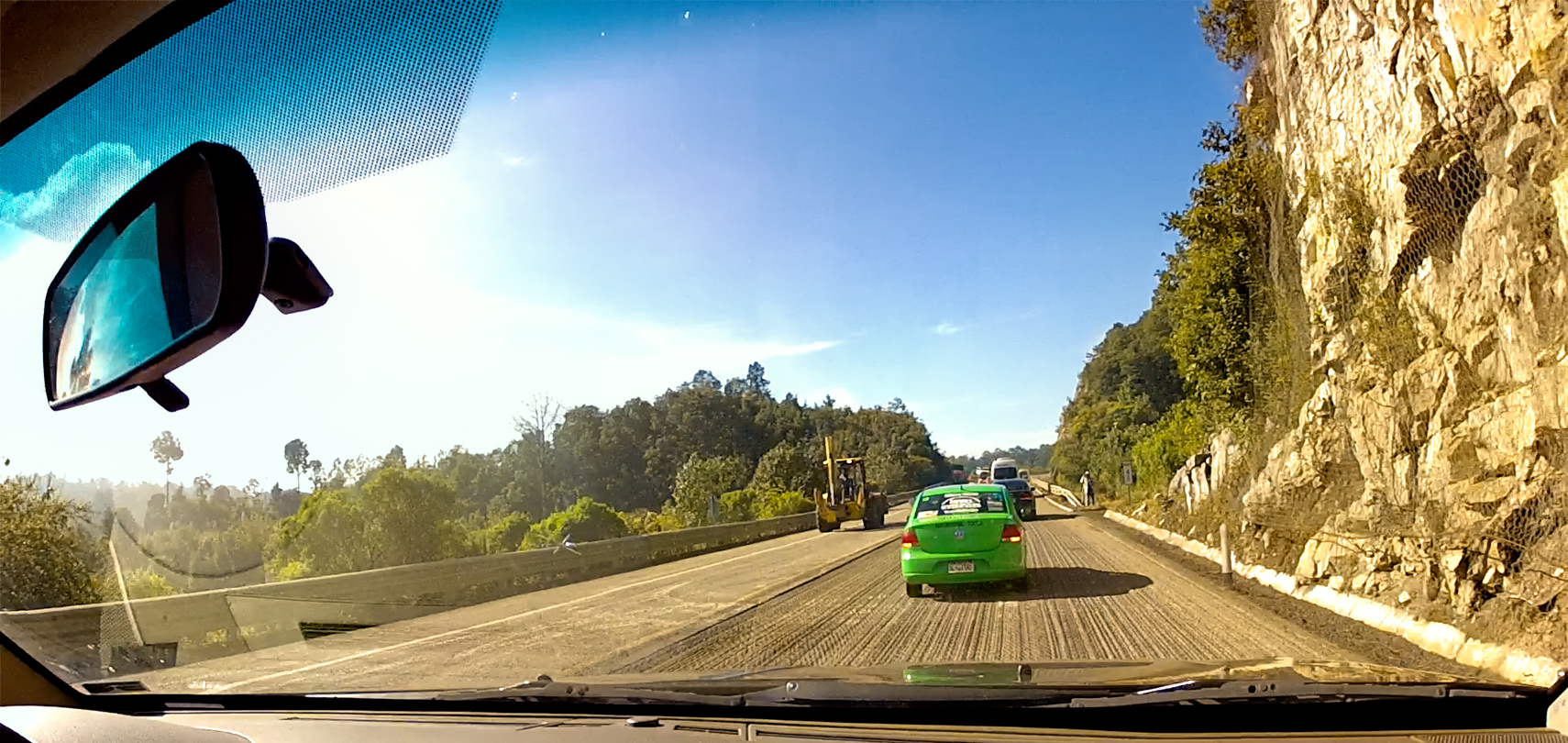
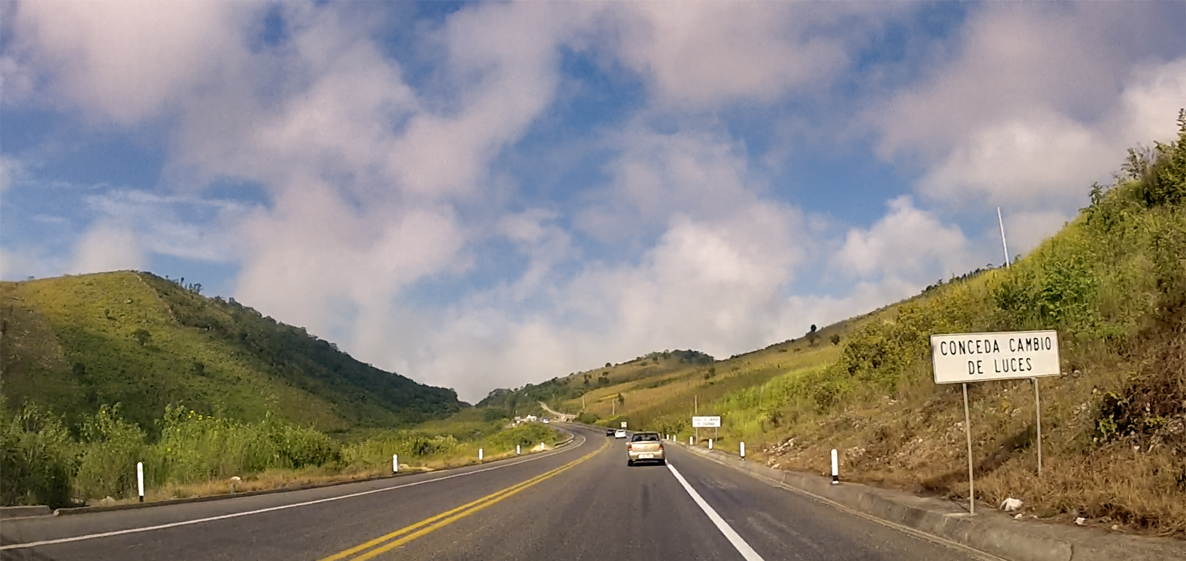
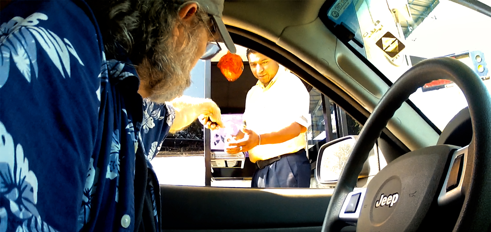
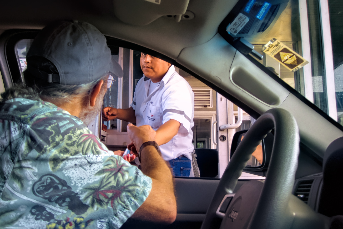
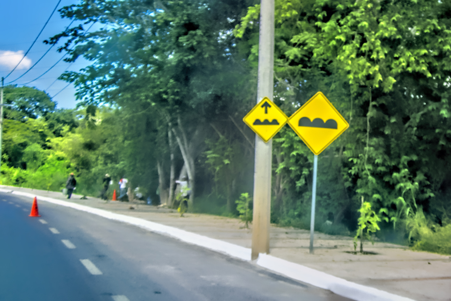
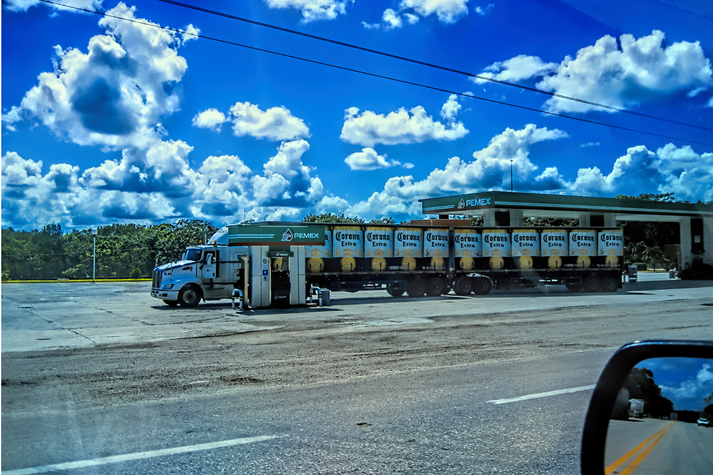
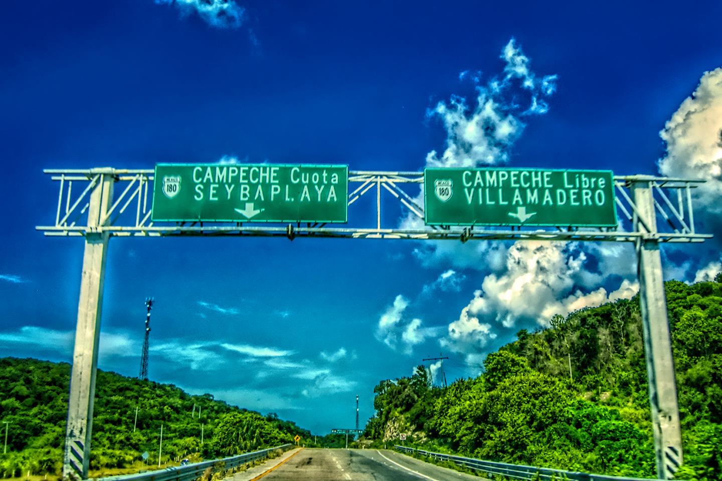
This portion of MX 190 is designated MX 190 D, because it is a “Cuota,” a toll road. What that means, in practical terms, is that there’s funding available for proper maintenance. Sometimes the cuotas are limited access divided highways, much like the modern expressways in the U.S. and Europe. More commonly, they are simply in better shape than the “libre,” (free) alternatives, with fewer potholes and topes (speed bumps), as well as less livestock, and fewer pedestrians, because they bypass the small towns.
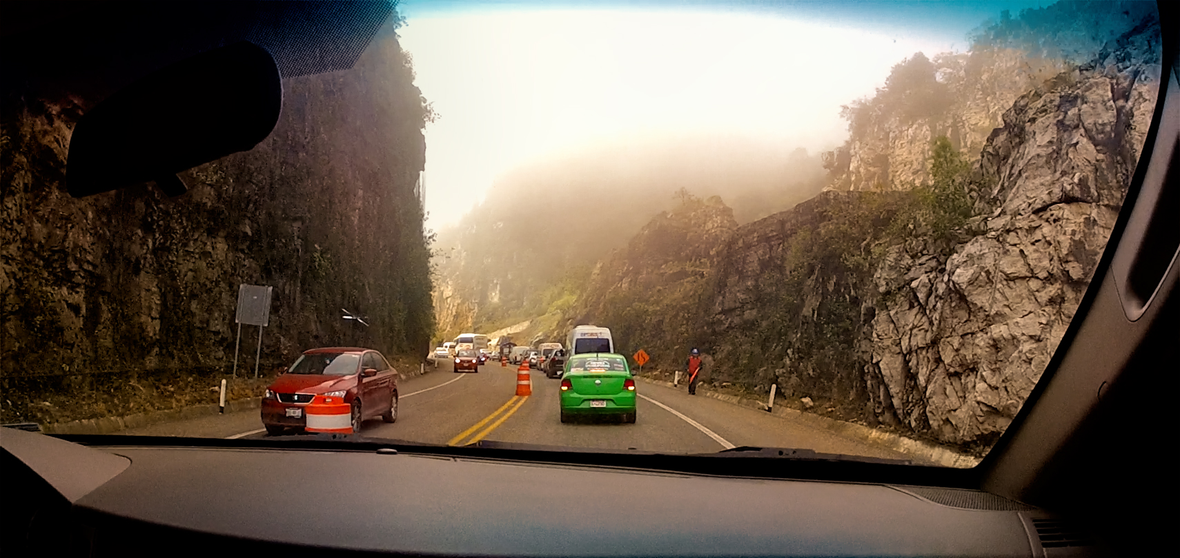
Construction zone: a portion of the highway is being resurfaced, using equipment and techniques that are all too familiar to drivers from the United States.
Pinche pendejo!
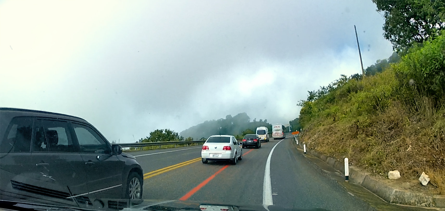
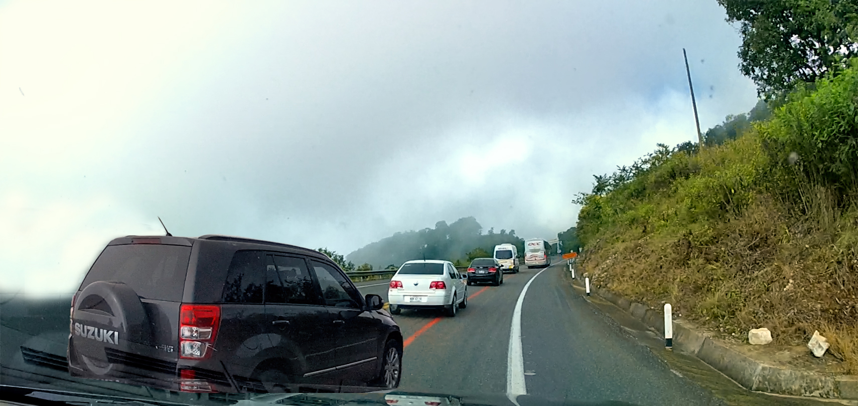
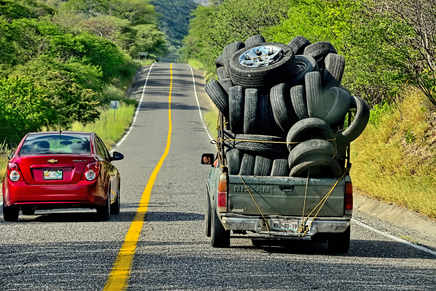
There are few (if any) passing lanes on these mountain roads, so long lines of vehicles tend to stack up behind slow trucks and buses. An entitled idiot in a Suzuki SUV decided he just HAD to leapfrog his way to the front of the pack, so he whipped around me on the left, then cut back into my lane, forcing me to brake and veer onto the shoulder. The horn on my Jeep is linked to my car alarm, with dual trumpets and a very loud siren. I gave him an extended blast, followed by two or three more. That didn’t change anything–but it made me feel better, and it most definitely got his attention!

Nobody likes being cut off; we stayed mad until the pendejo finally jumped every car in the line ahead of us and disappeared!
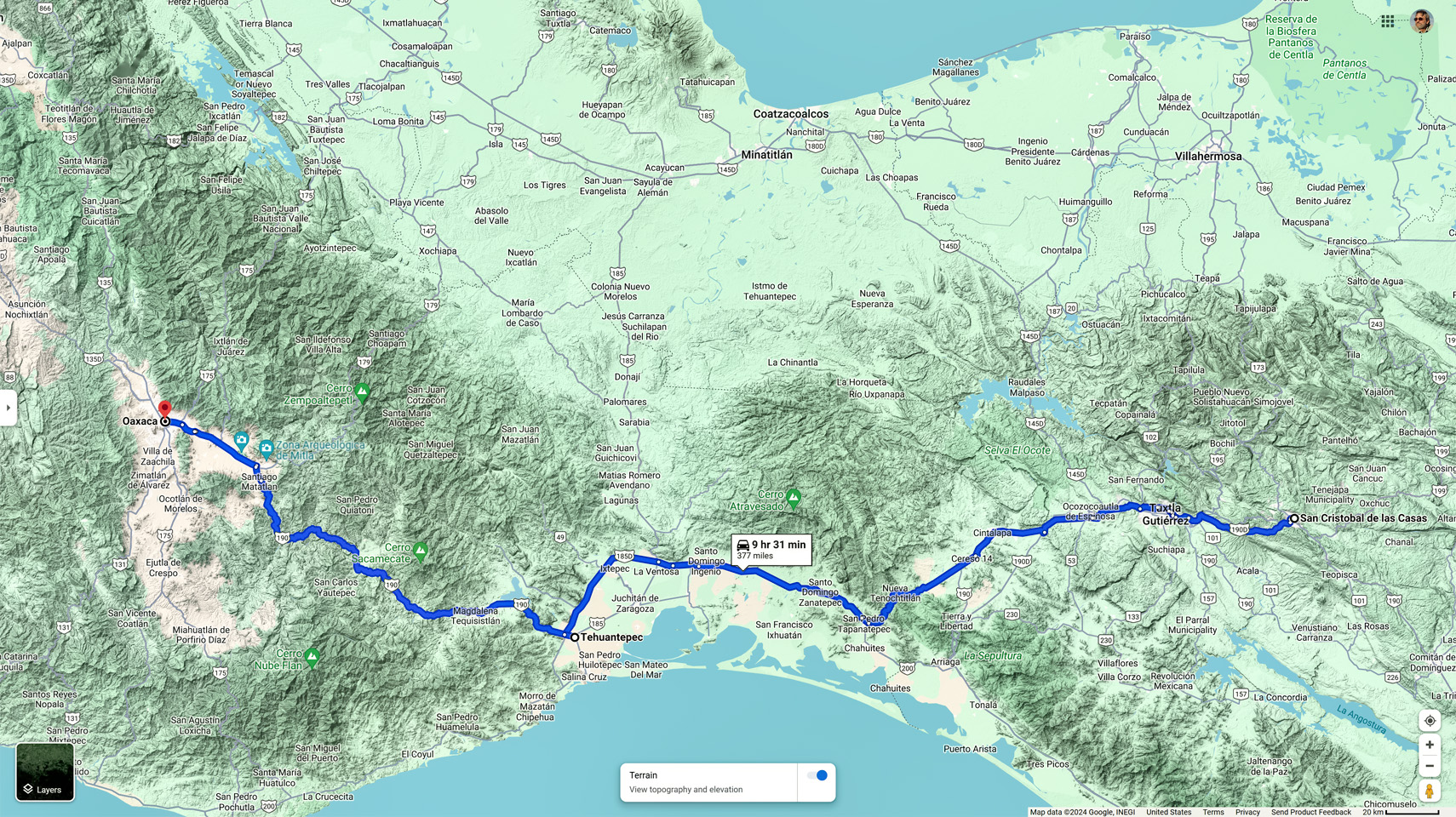
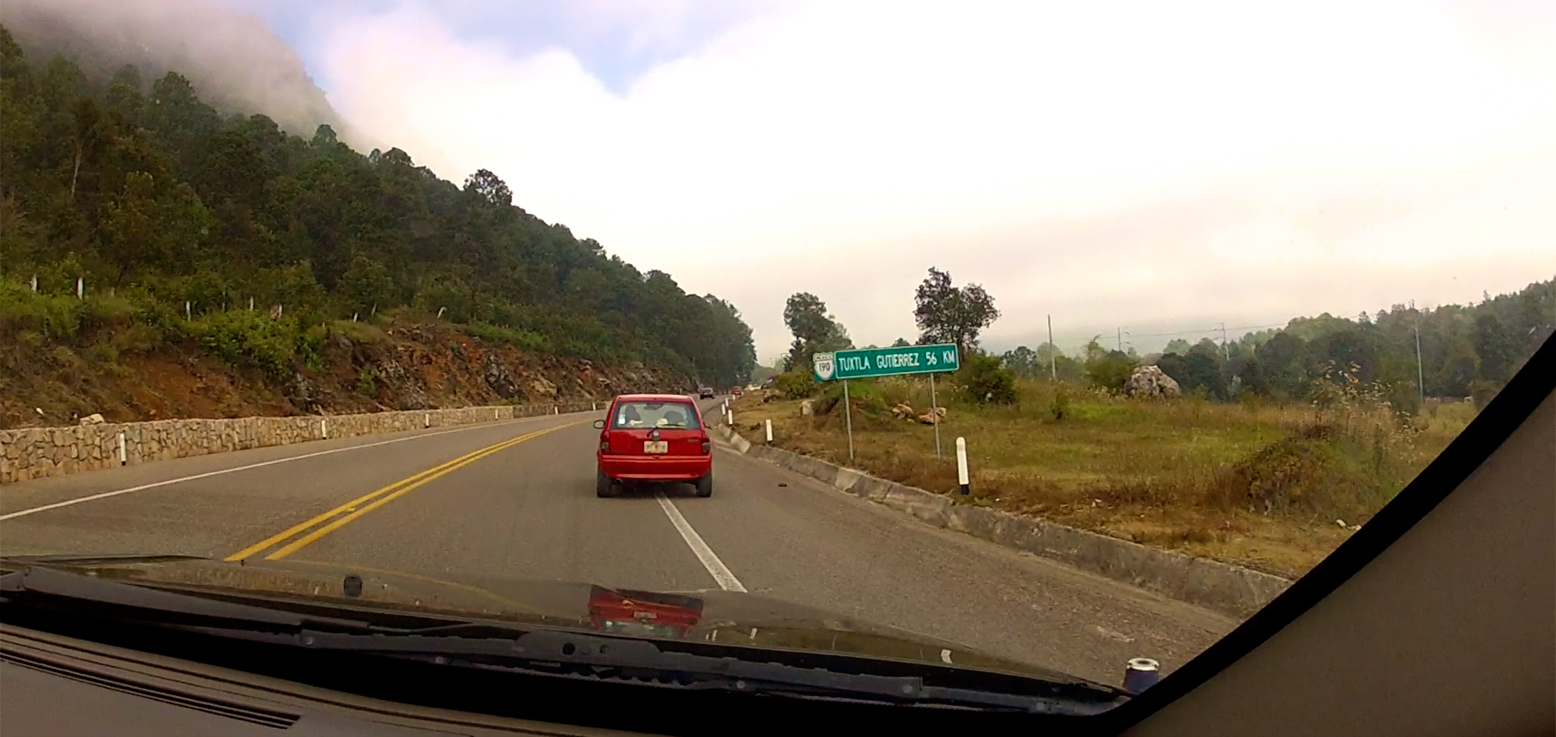
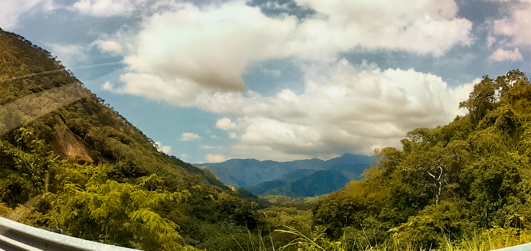
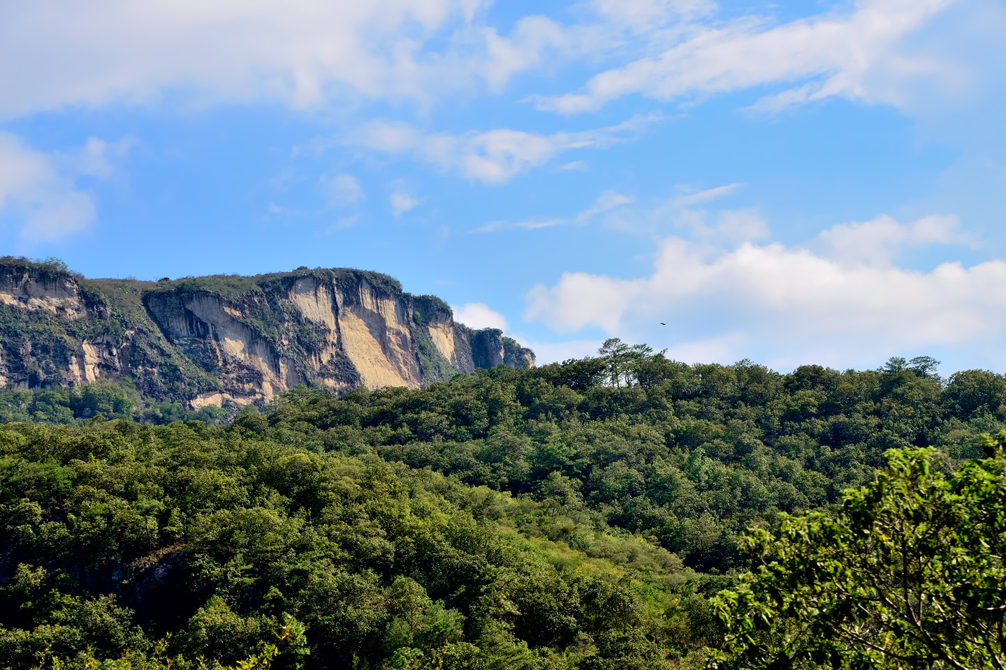
The area in between San Cristobal de las Casas and Tuxtla Guttierez is still the Chiapas Highlands, a mountainous plateau that forms the greater portion of the Sierra Madre de Chiapas. Tuxtla, with a population well in excess of half a million, is the capital of the State of Chiapas and the largest city in the region. The closer we got to it, the more level the terrain; since leaving San Cristobal, we’d dropped more than a mile in altitude, into a much warmer climate.
Scenes along MX 190 between San Cristobal and Tuxtla Guttierez
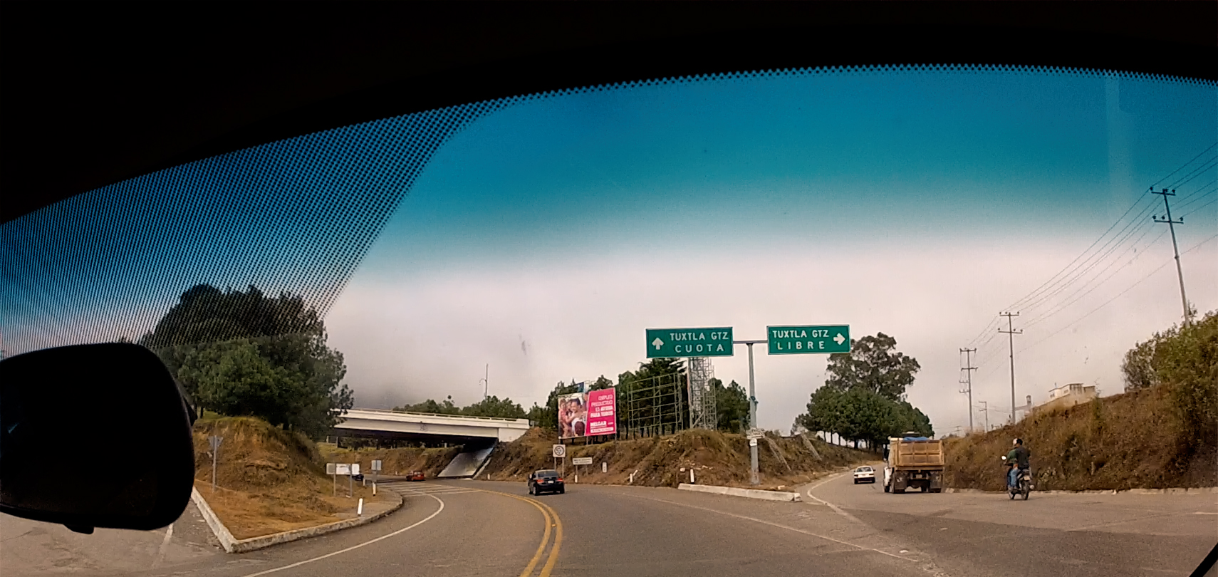
TUXTLA GUTTIEREZ
Scenes on the street in Tuxtla Guttierez
CLICK PHOTOS TO EXPAND!
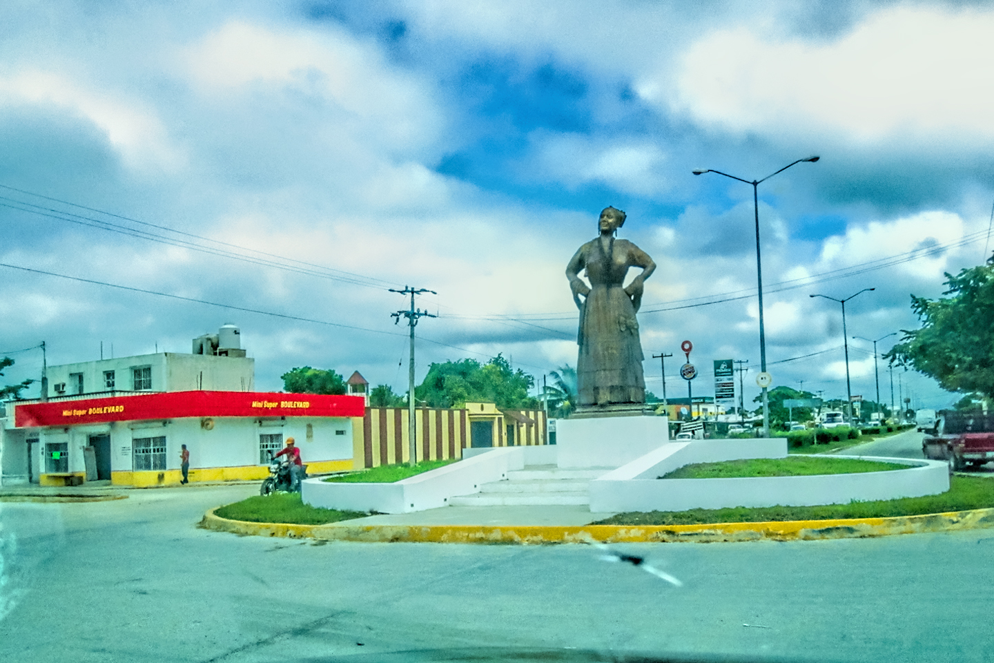
Tuxtla (pronounced tooks-tlah) Guttierez is not much of a town for tourists. There are no Mayan ruins, no beaches, no picturesque colonial architecture. It’s a contemporary era Mexican city with nothing special to set it apart. There’s no significant local industry, so the largest employer is the Chiapas state government. The city ‘s main claim to fame is as a transportation center, the hub where all the regional highways and bus lines come together, and the location of the largest regional airport.
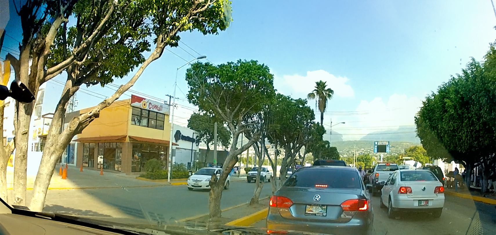
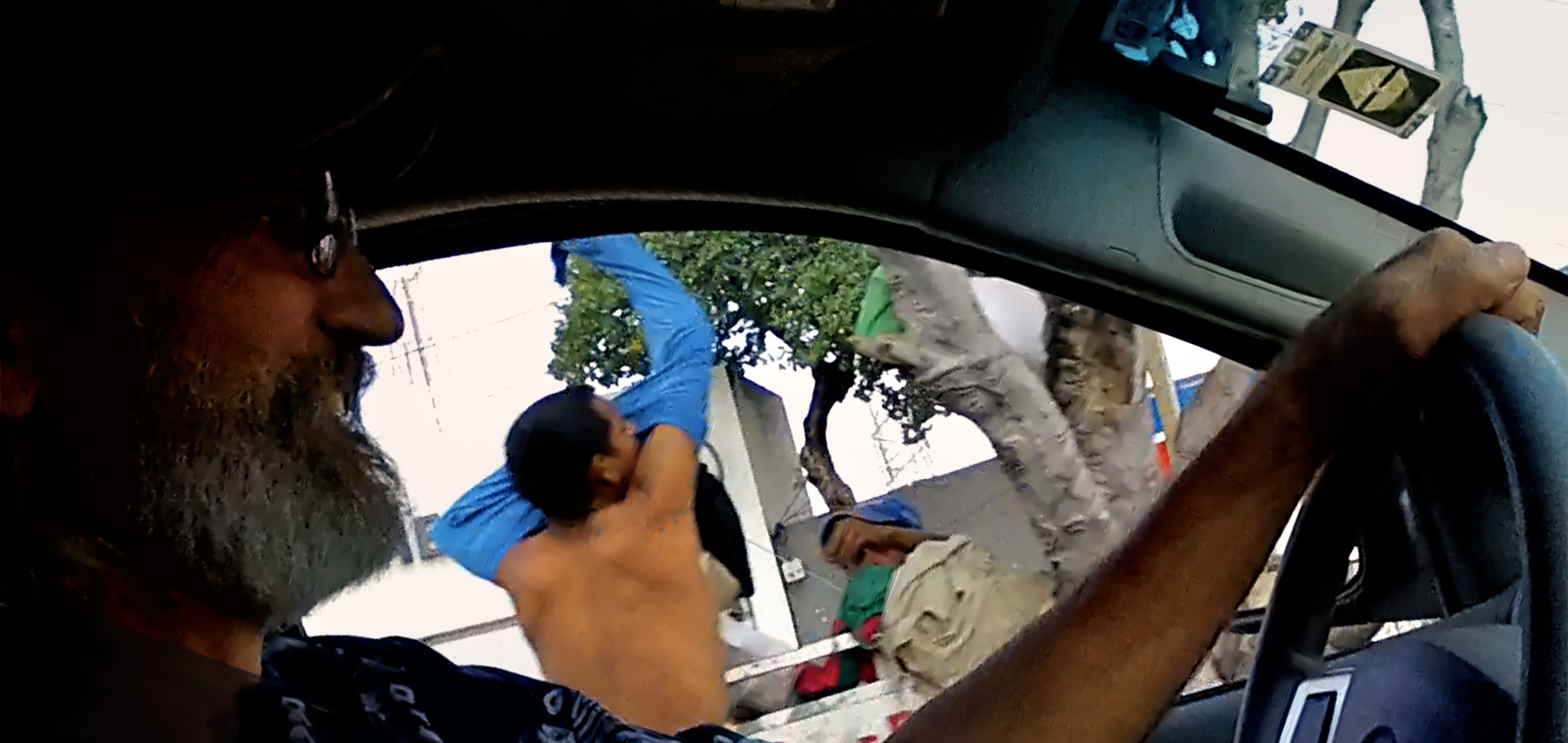
For me and Michael, it was nothing but an unwelcome delay. We had no plans to stop for anything other than fuel; since there was no bypass route, we had to drive through the middle of town, and the traffic was tied in knots.
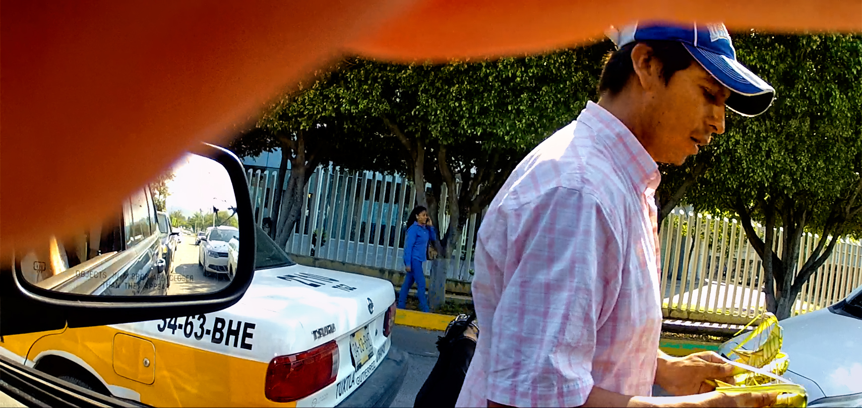
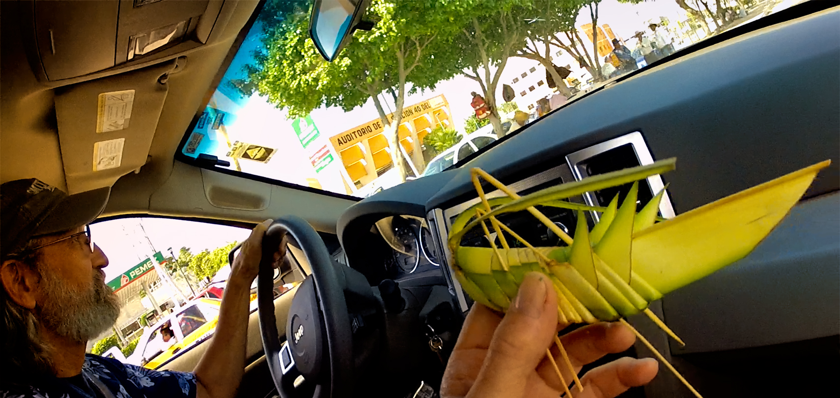
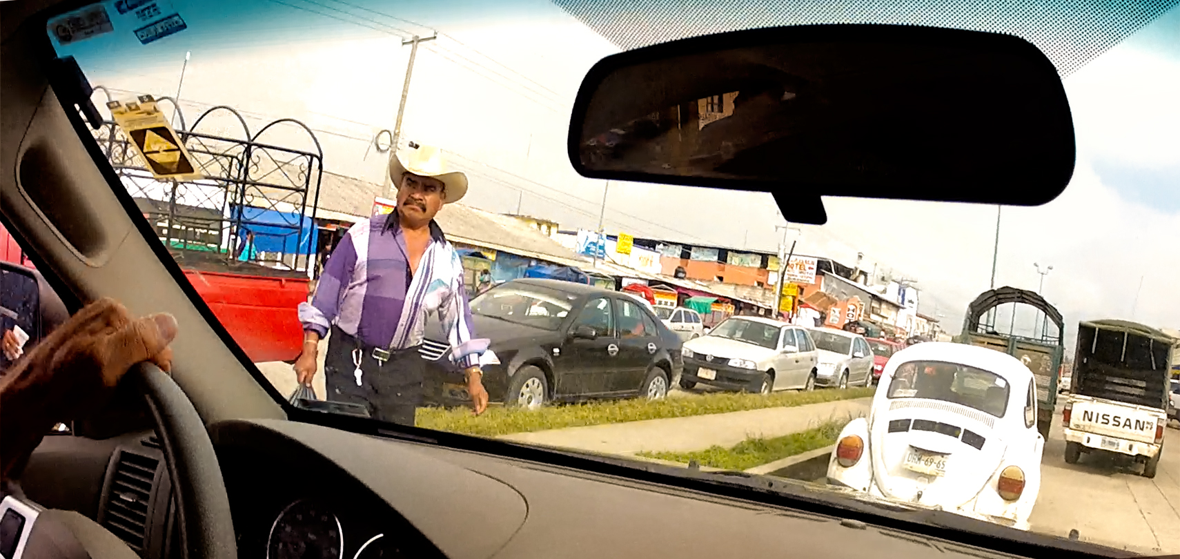
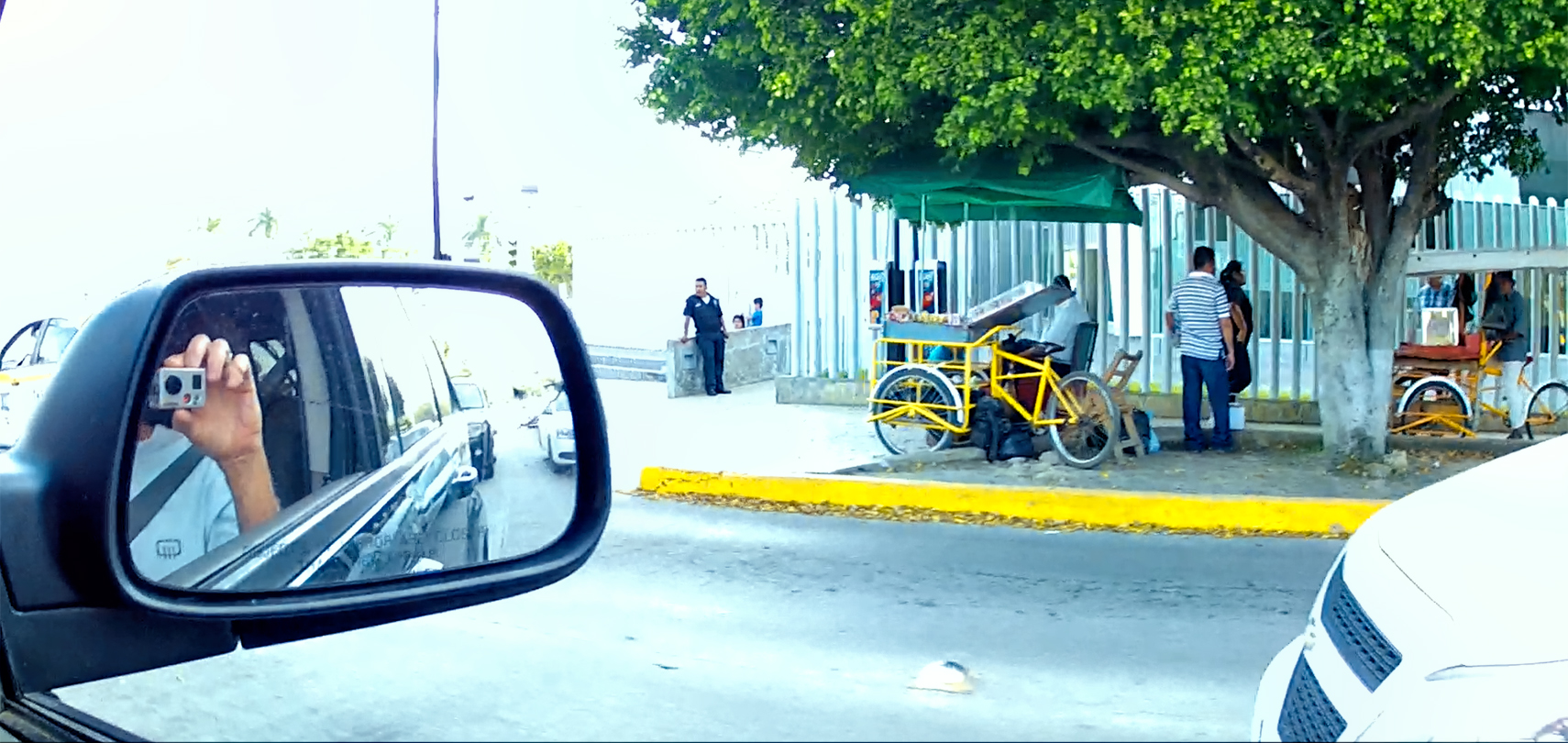
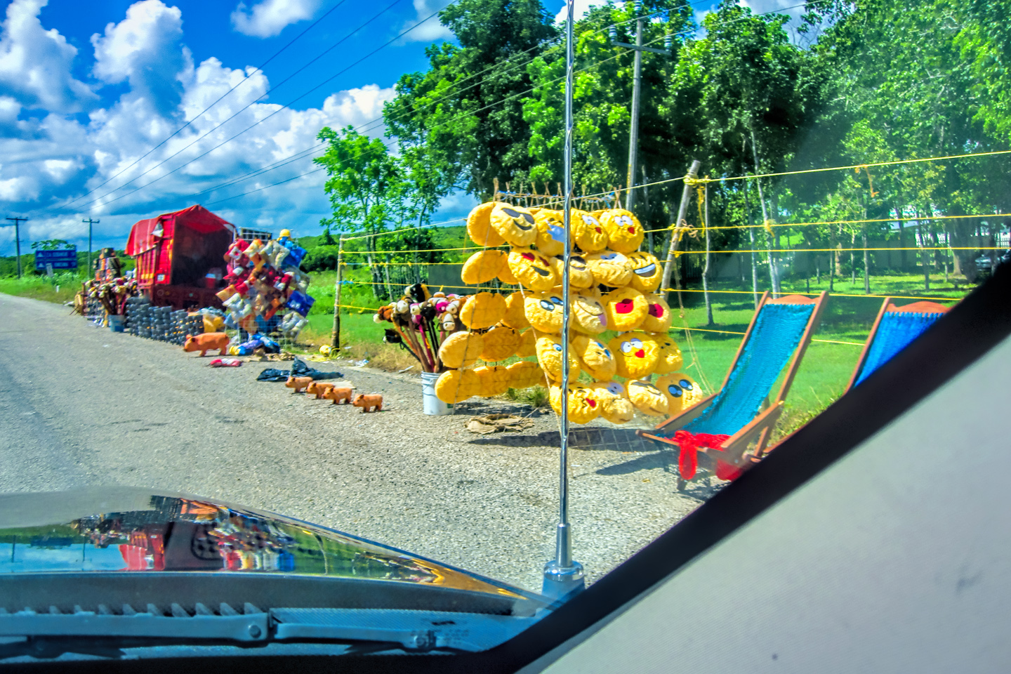
At one point we were stopped dead for at least ten minutes, nobody moving in any direction due to an accident in an intersection up ahead of us. Several of the sidewalk vendors took advantage of the situation to wander among the stalled vehicles, hawking snacks. I’d just recently recovered from a bout with the Turistas, so I wasn’t inclined to risk food from a questionable source, but Mike was hungry, so he called this guy over. Unfortunately, what he was selling wasn’t food. It was a unique local handicraft, a banana leaf, cleverly folded and trimmed to look like an oversized grasshopper. Mike decided it would make a great gift for his granddaughter, so he bought one. I can’t honestly remember if he got it home in one piece, but it was definitely an interesting souvenir!
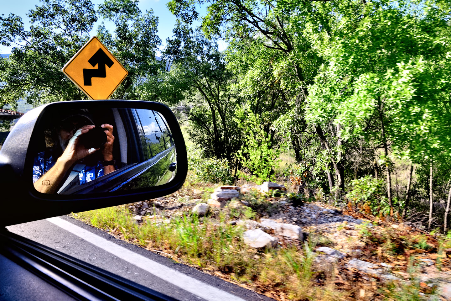
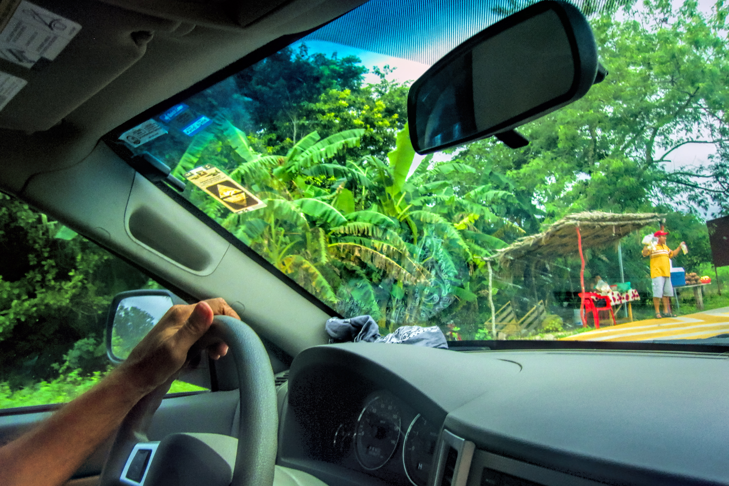
The images in the collage (above) and many of the other images in this post are screenshots harvested from Michael Fritz’s GoPro videos, which were taken through the front windshield and the passenger side window of the Jeep as we headed west from Tuxtla Guttierez. The camera was literally all over the place, so please excuse the unusual angles, and the reflections in the glass. Note that our road trip took place in 2015, so the imagery in Mike’s videos dates back to that year.
The collage (below) is actually a series of screen shots from Google Street View, captured along that same route.
MX 190: GOOGLE STREET VIEW
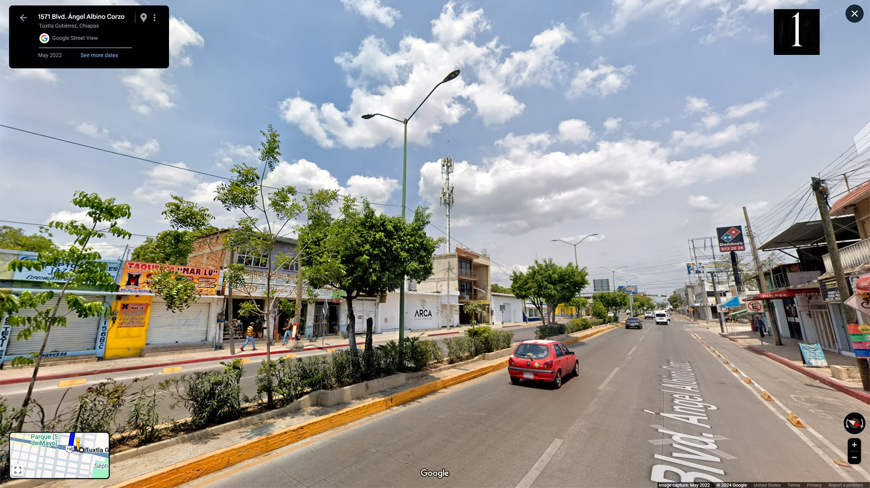
1). Street scene in Tuxtla Guttierez.
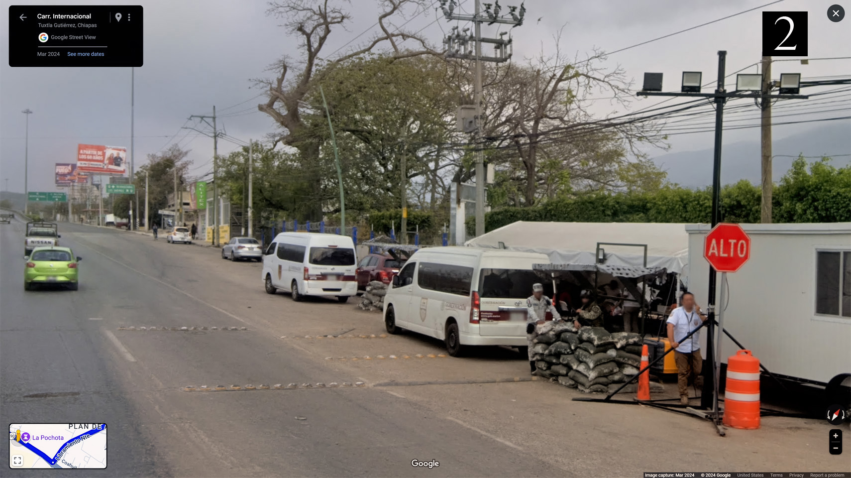
2). Leaving Tuxtla Guttierez, a military checkpoint with a machine gun set up behind sandbags.
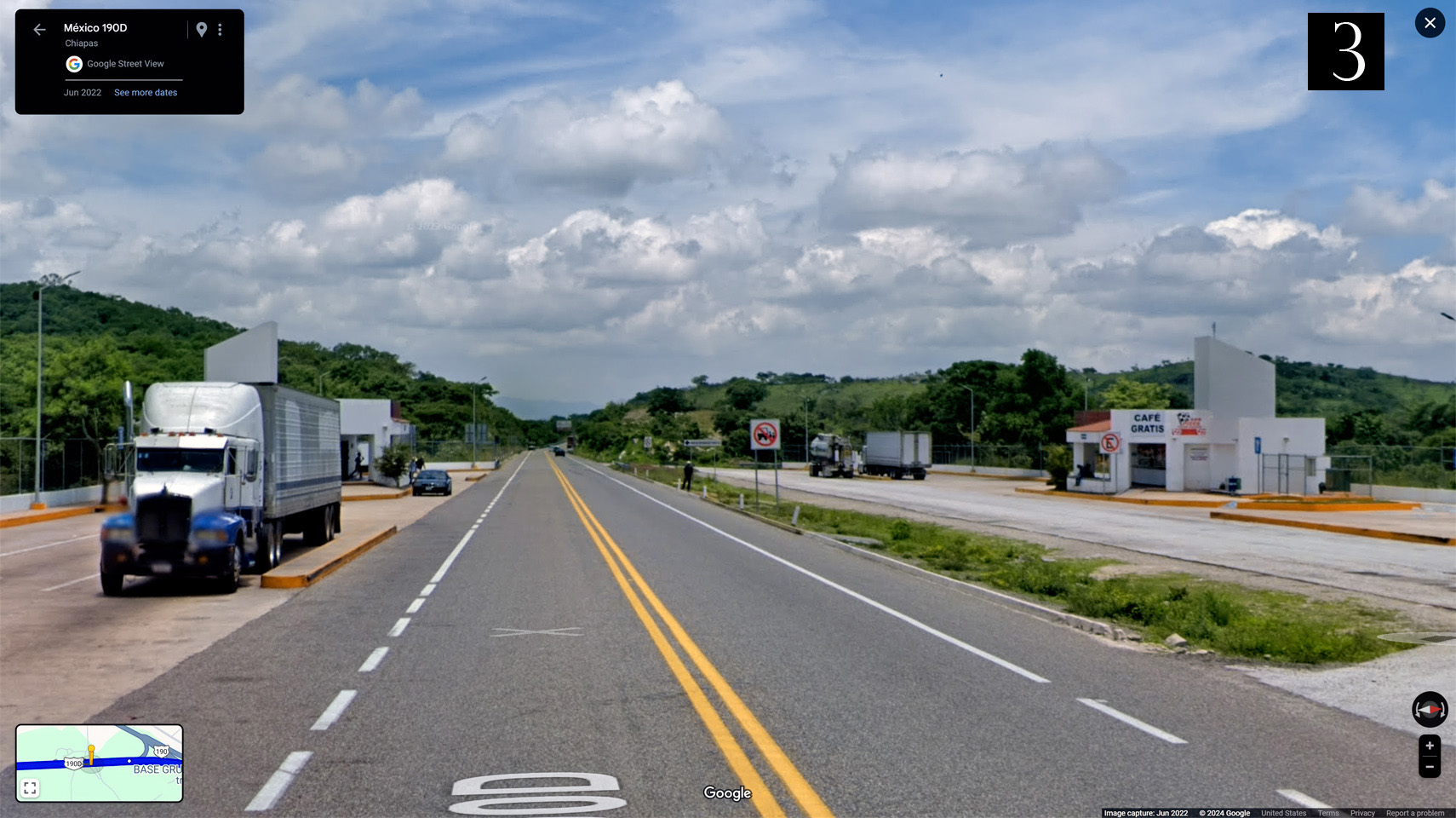
3). Rest stops on either side of the modern toll road (which is still limited access in this section, but no longer divided by a median).
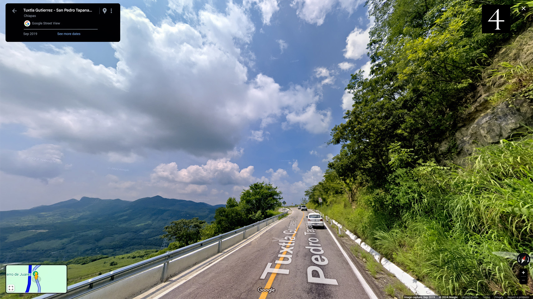
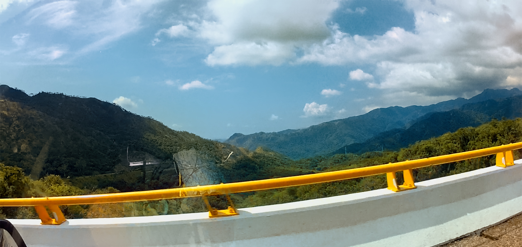
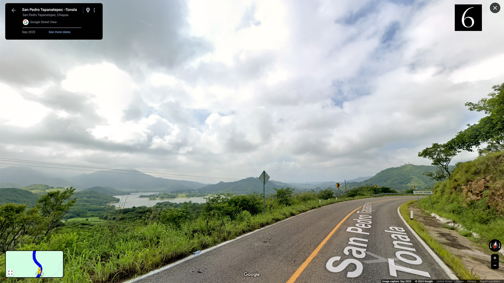
4). The road crosses another ridge of mountains, with stunning views of verdant valleys, just beyond the guard rail.
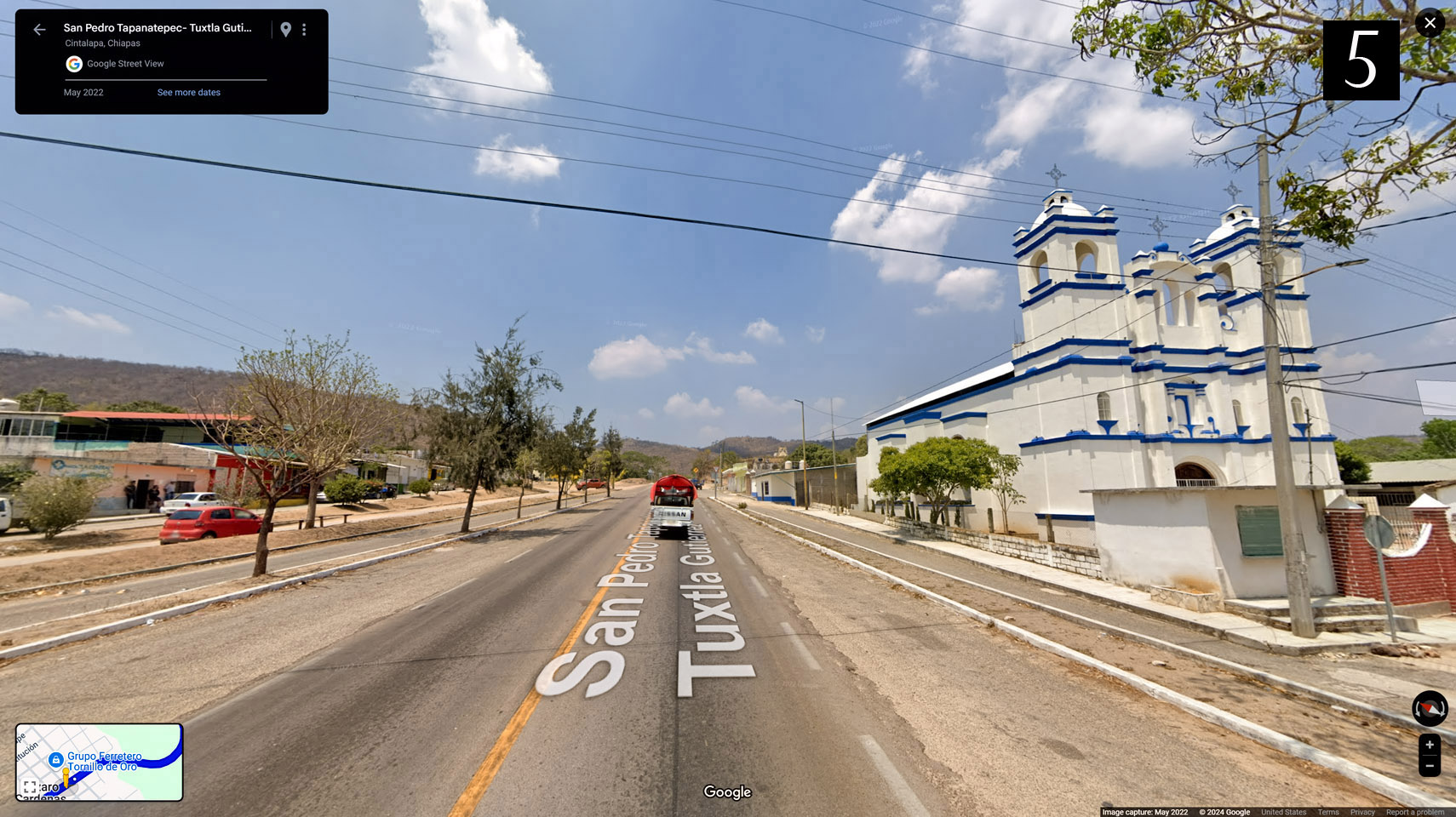
5). A relatively new, freshly painted blue and white church in the town of Lazaro Cardenas.
6). Beautiful curves, and beautiful views of the river below, backed up behind a small dam.
Images © 2024 Google
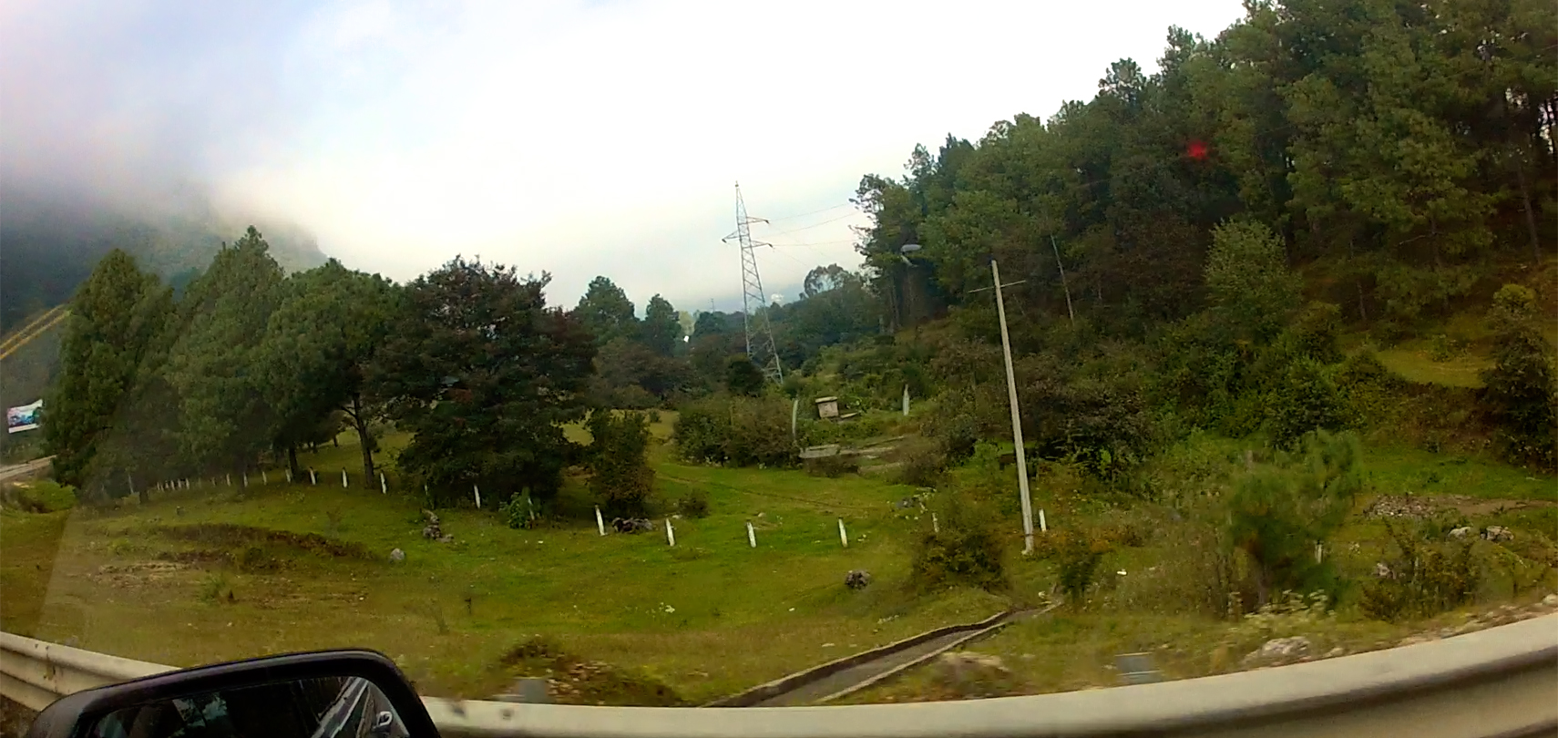
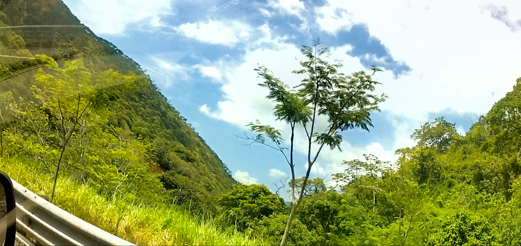
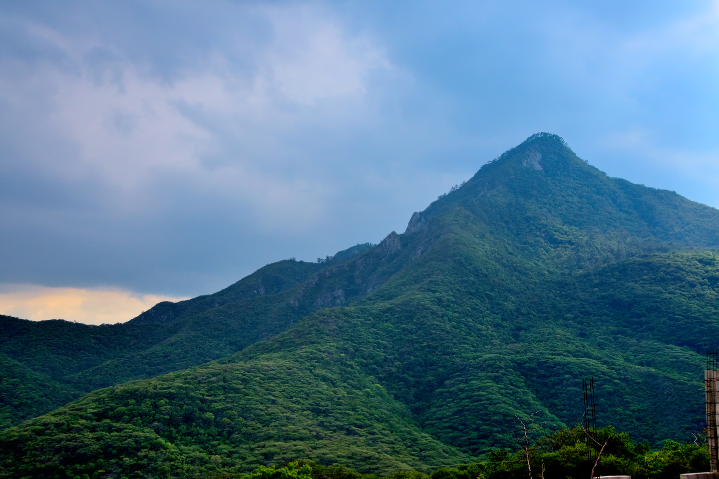
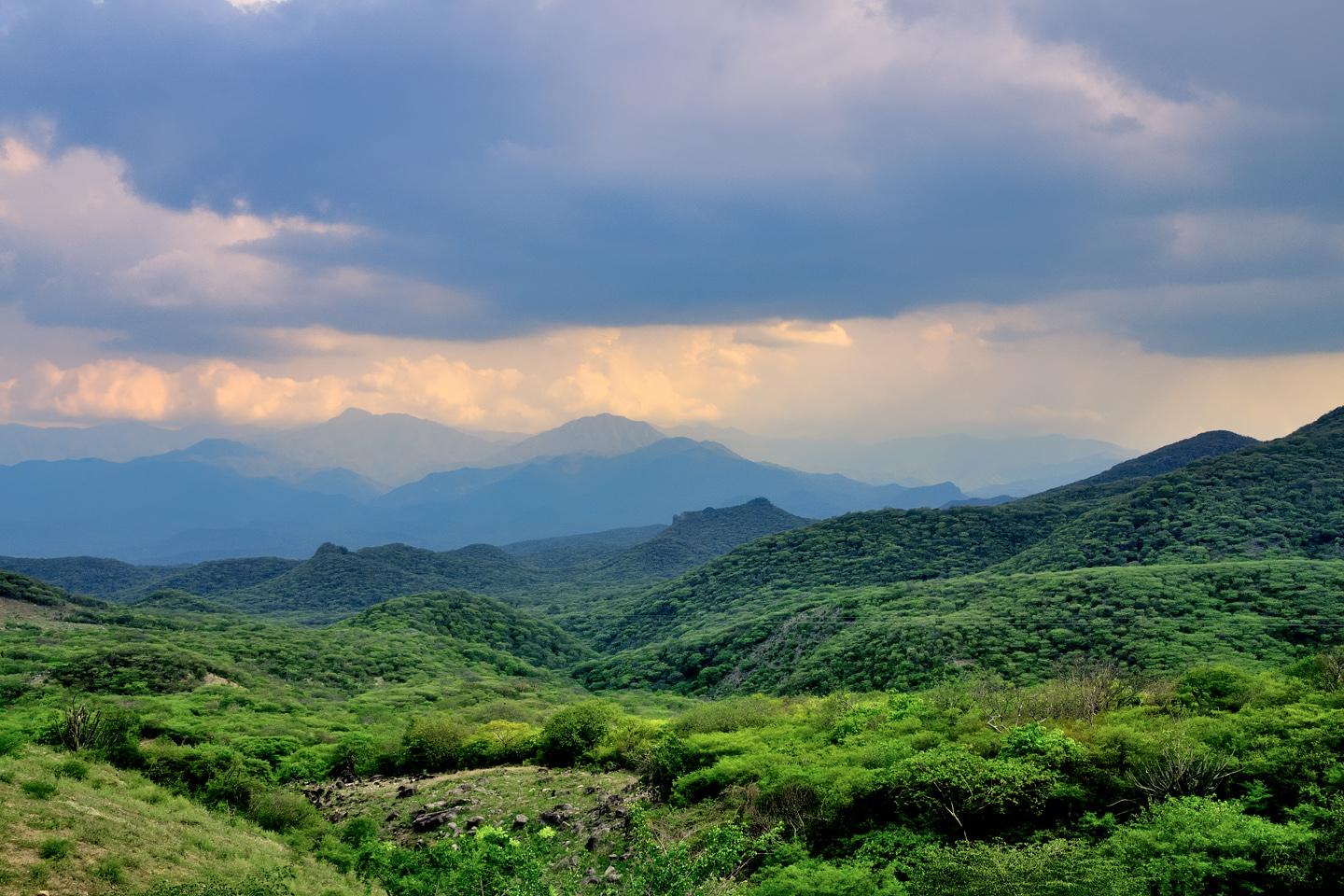
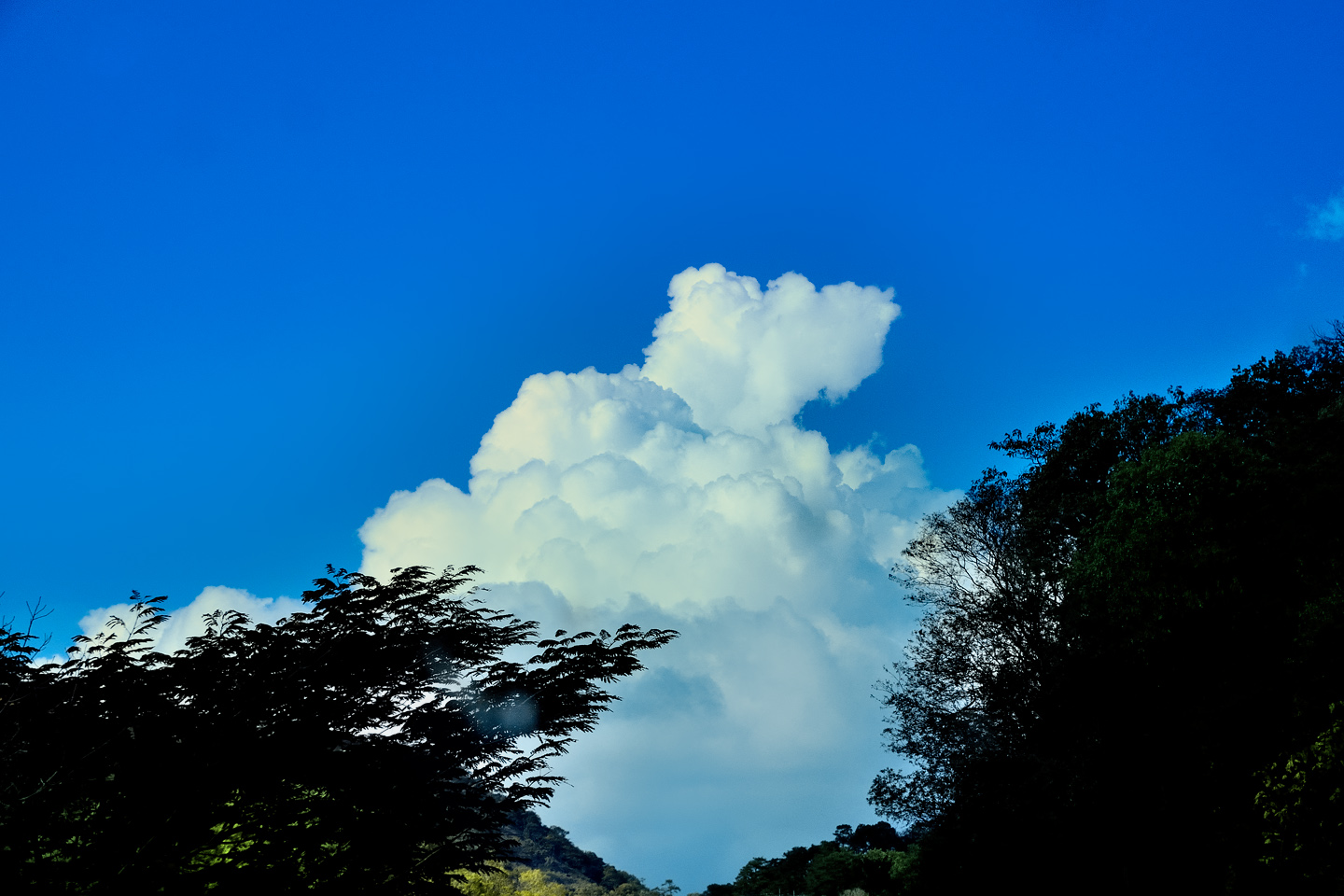
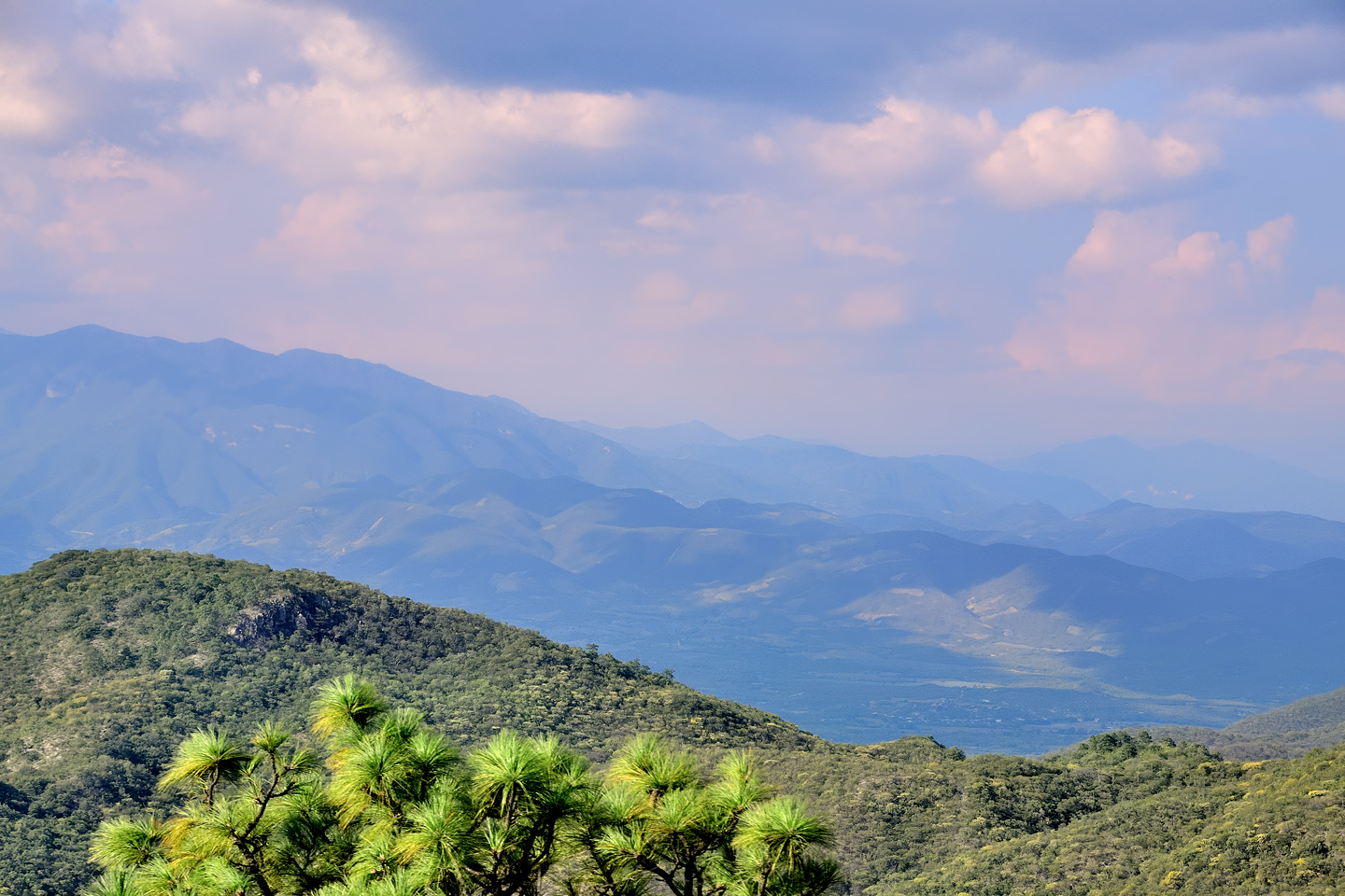
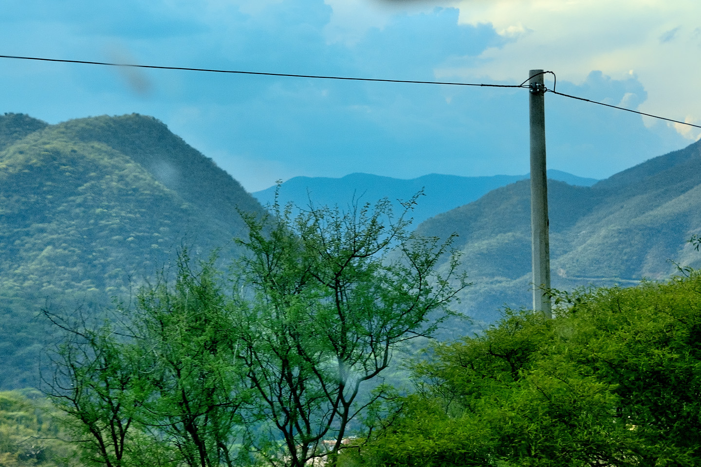
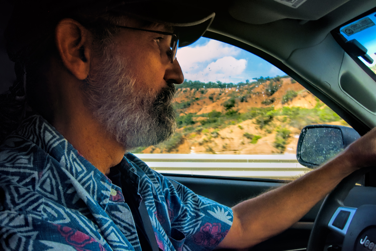
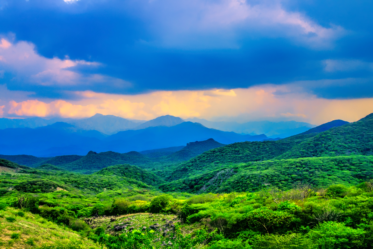
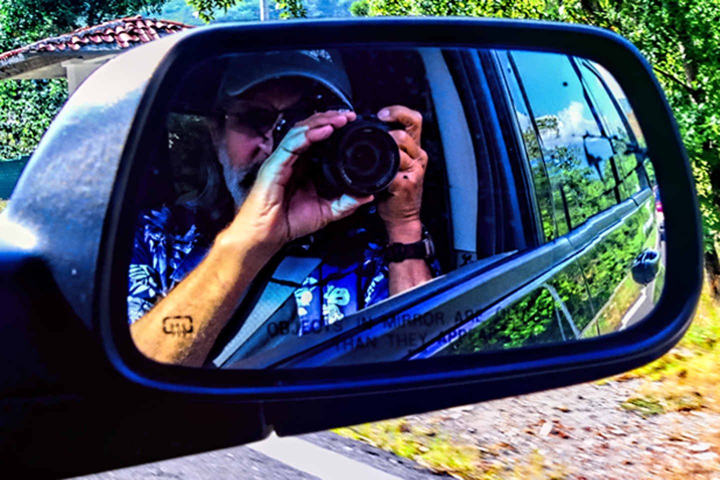
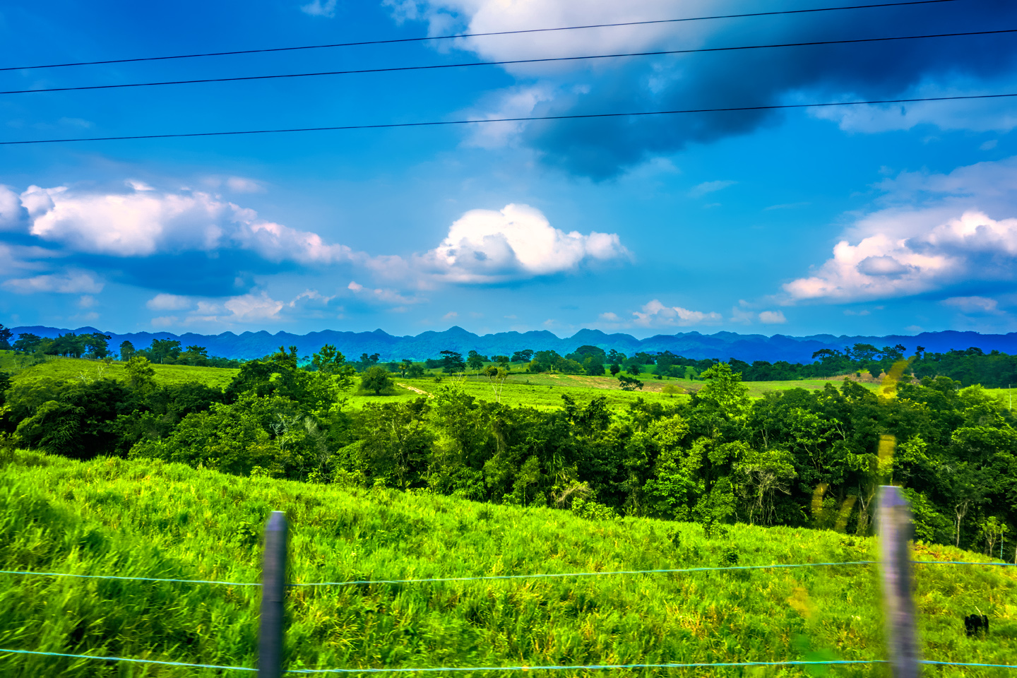
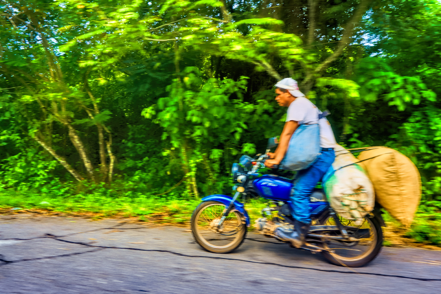
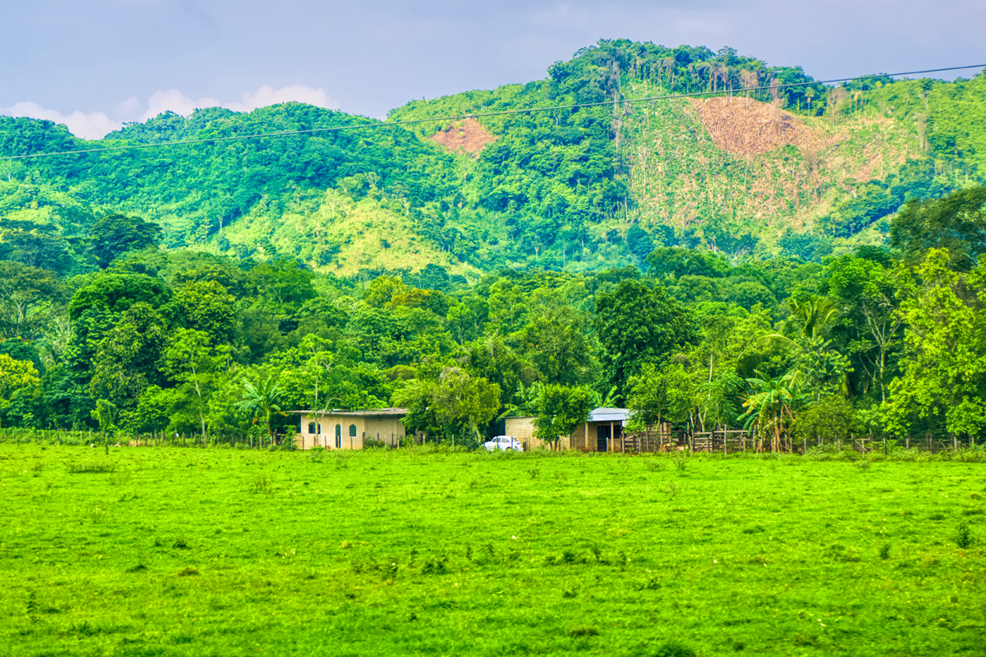
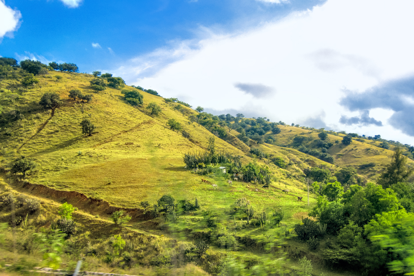
This part of the route was still tropical, with lush green vegetation covering the moutainsides, reminding me ever so much of the northern Andes, where I lived when I was a young guy, fresh out of college. Mike and I traded off along this stretch: he did the driving, while I sat back and enjoyed the views, shooting photos out the window of everything from road signs to clouds. In those days of my youth, I had to be miserly with my film, but on this trip, thanks to the marvel of digital photography, I had no such restrictions.
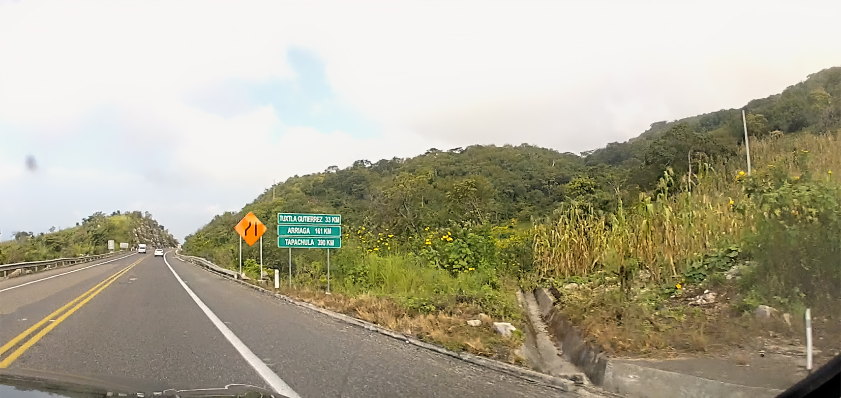
This was the point when we crossed the narrowest section of the Isthmus of Tehuantepec, and entered the Sierra Madre de Oaxaca.
Prior to the opening of the Panama Canal in 1914, the shortest overland route between the oceans was right here; mule trains, and, in later years, a standard gauge railroad ferried cargo from the Atlantic to the Pacific and vice versa. They still transport some cargo along that route, which is billed as a faster, less costly alternative to the Panama Canal, but the most important thing moving along that corridor today is the steady breeze, created by the temperature differential between the two oceans. There is a gap between the Cordilleras of the Sierra Madre, the Chivela Pass, which concentrates and accelerates the flow of air between massive walls of rock, creating a source of power with enormous potential. The level ground on either side of the highway is perfect for wind turbines, so in 2009, the Oaxaca Wind Power Complex was built. There are hundreds of turbines, lined up in rows for more than 30 km, producing hundreds of megawatts of clean energy, offsetting vast amounts of CO2 and other pollutants.
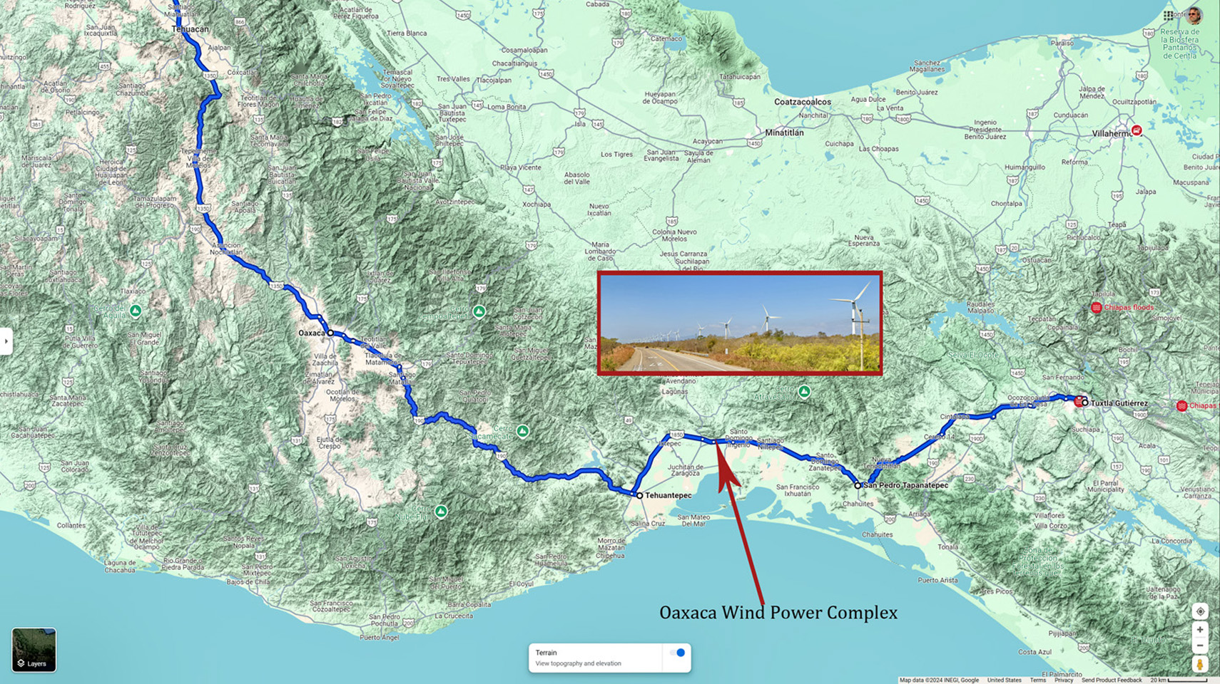
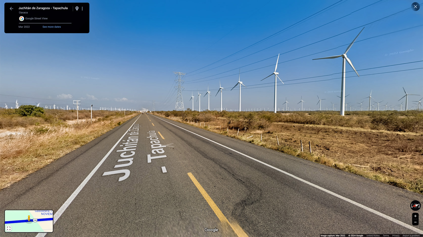
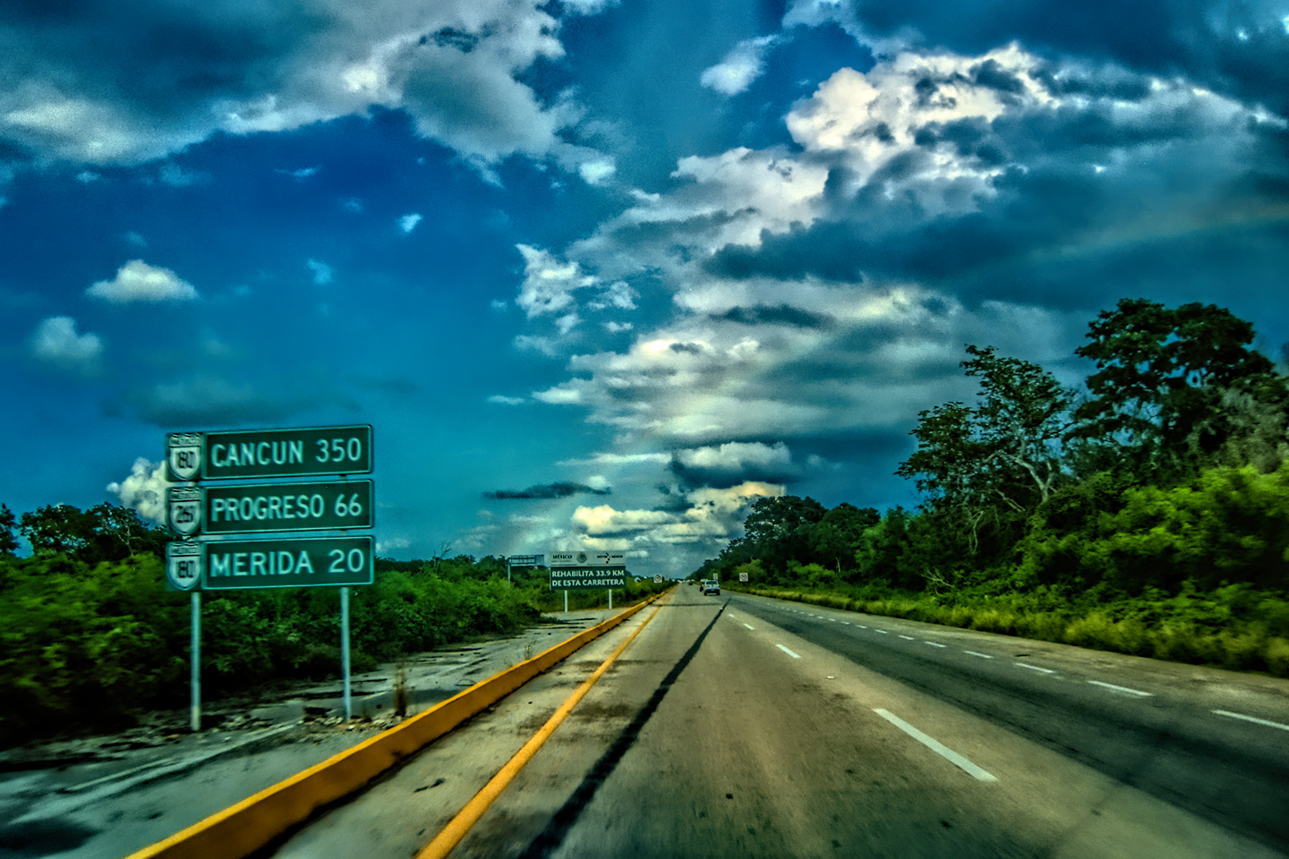
The Oaxaca Wind Power Complex is made up of hundreds of turbines installed alongside MX 190, beginning at about Kilometer 217 (as measured from Tuxtla Guttierez) and running west from there, all the way to Kilometer 250.
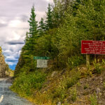
TRAVELER’S ADVISORY (effective September, 2024):
The U.S. Department of State has issued a Level 4 (Do Not Travel) advisory for this region. The restrictions are mandatory for U.S. government employees, and strongly advised for all U.S. travelers, due to the high prevalence of violent crime, and recent increases in activity by the Mexican cartels.
- Isthmus region: U.S. government employees may not travel to the area of Oaxaca bounded by Federal Highway 185D to the west, Federal Highway 190 to the north, and the Oaxaca-Chiapas border to the east. This includes the cities of Juchitan de Zaragoza, Salina Cruz, and San Blas Atempa.
Please note that Highway 190 through the Isthmus region is considered the northern edge of the restricted area, but is not included in the restrictions. It’s still considered the safest route between Tuxtla Guttierez and Oaxaca, but if you’re driving this way, it’s important that you stay on Highway 190 until you’re past Tehuantepec. Don’t deviate toward the coast, and don’t stop along the way unless it’s absolutely necessary!
Scenes along MX 190, West of the Isthmus of Tehuantepec CLICK PHOTOS AND MAPS TO EXPAND
MX 190: GOOGLE STREET VIEW
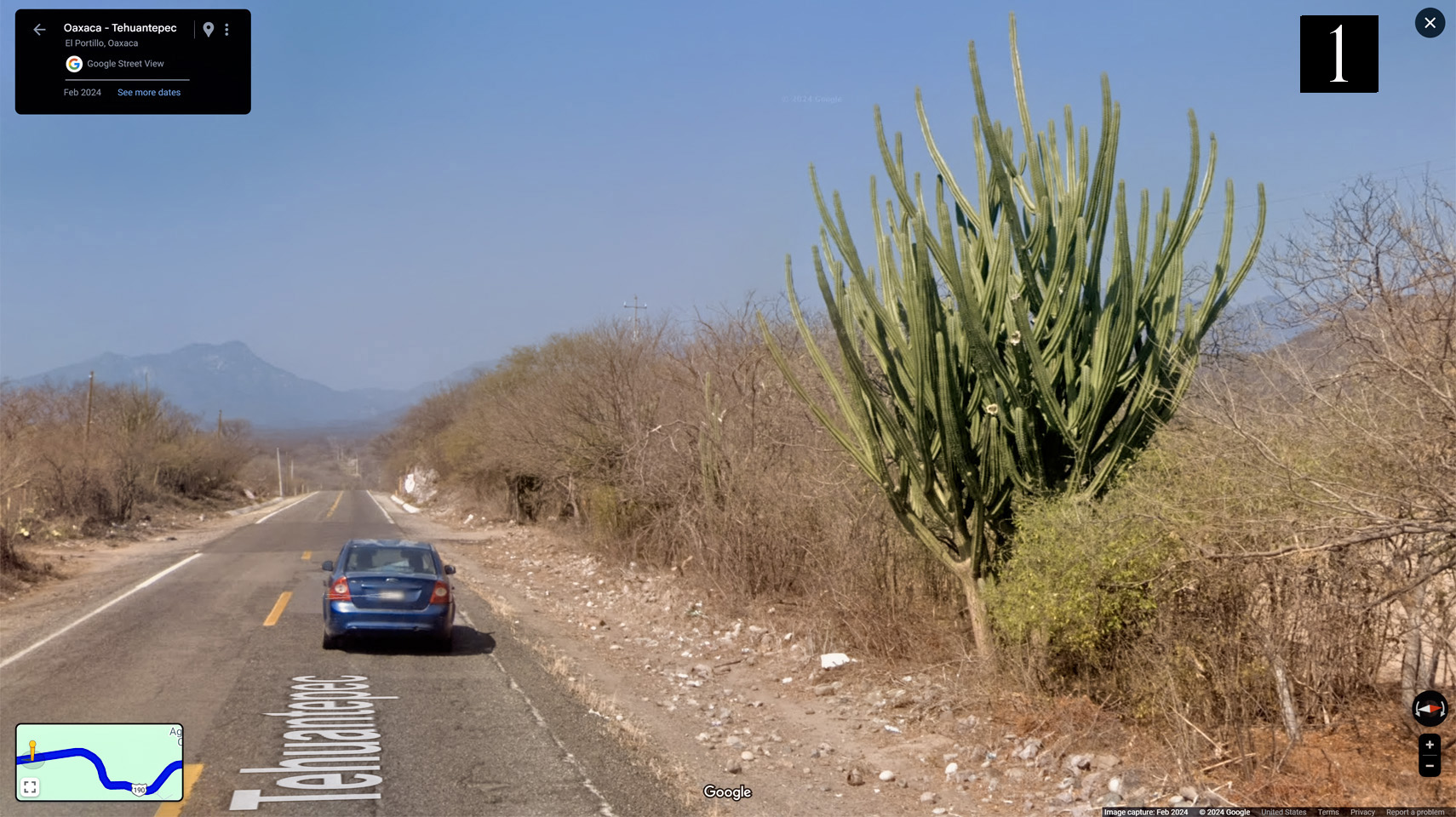
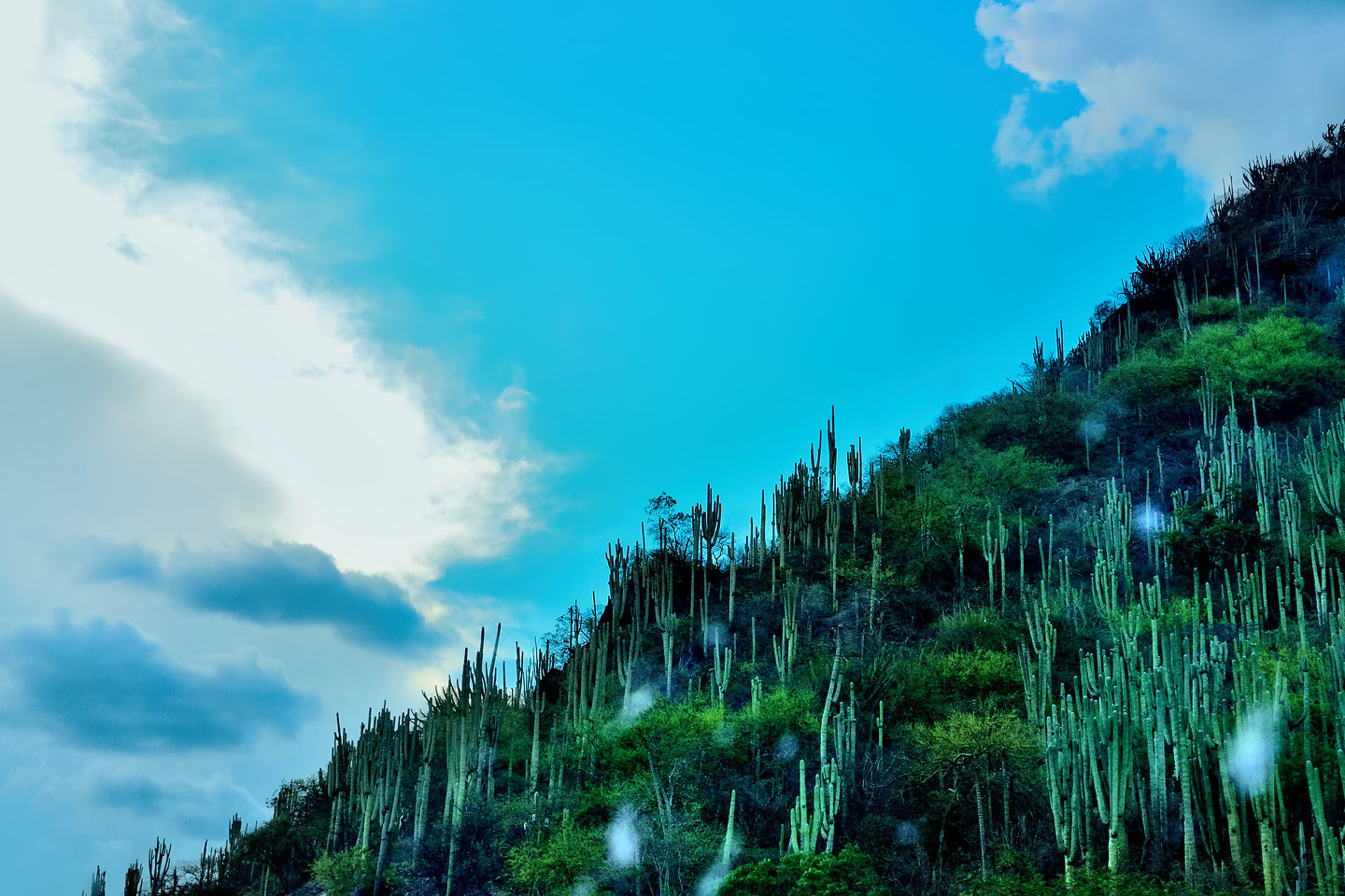
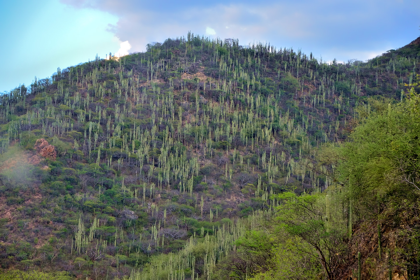
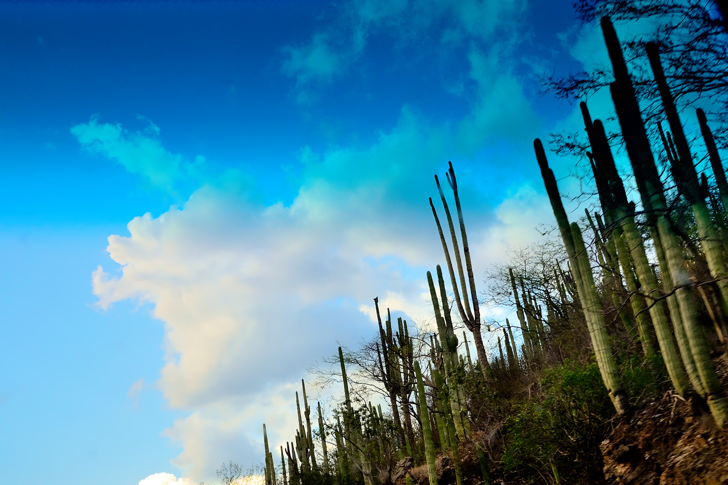
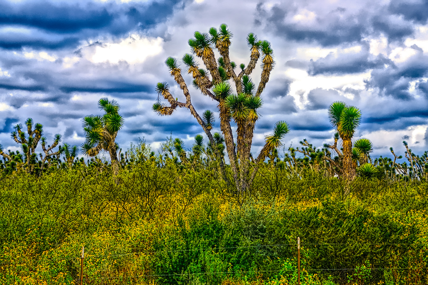
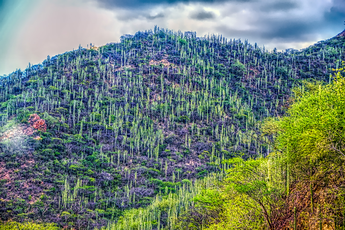
1). The further we travelled into the Sierra Madre de Oaxaca, the more desert-like the terrain, complete with tall cactus such as this fine specimen.
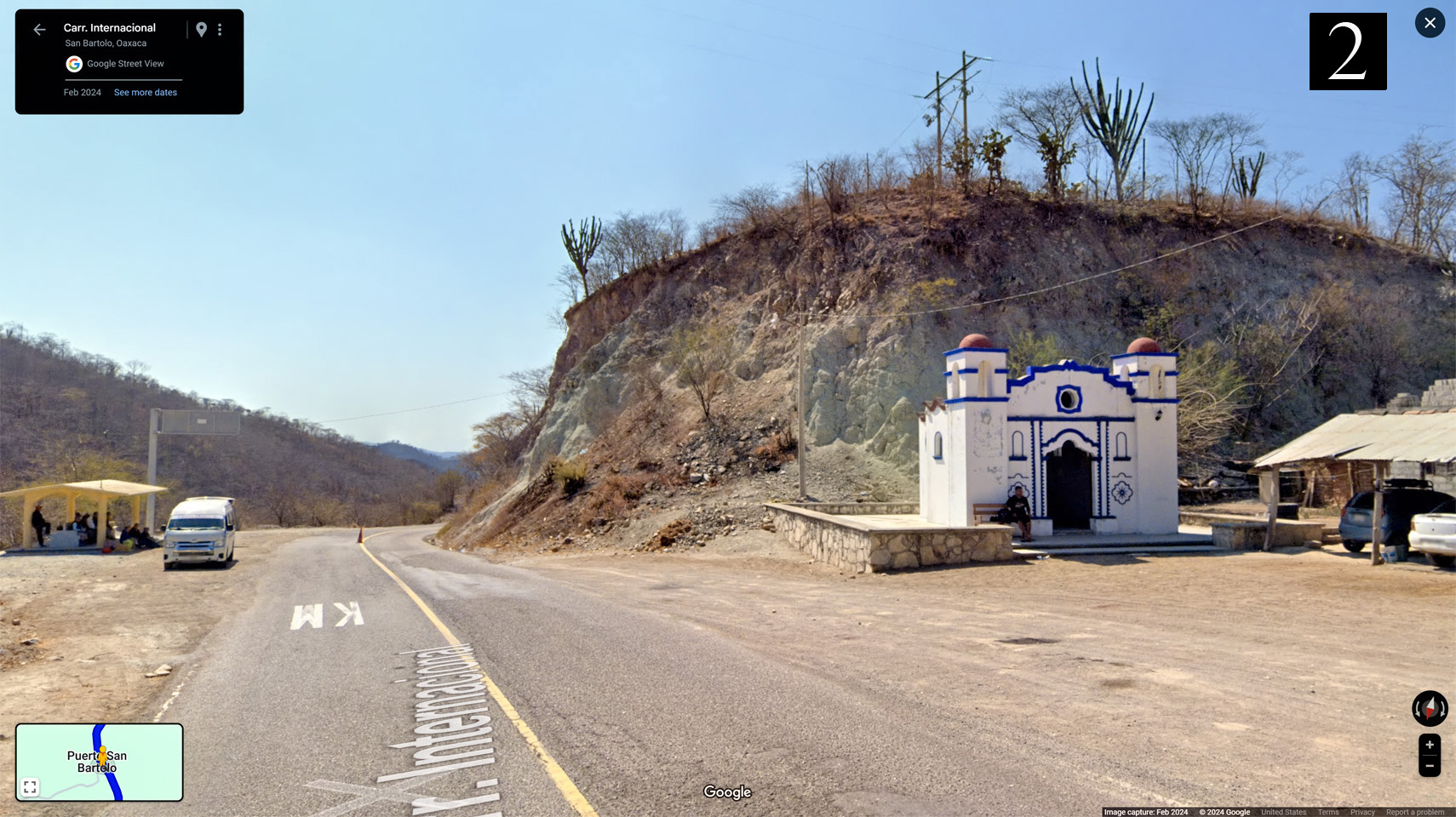
2). Not a church, but a Catholic shrine, most likely a place for travelers to pray for safe passage along a dangerous stretch of road.
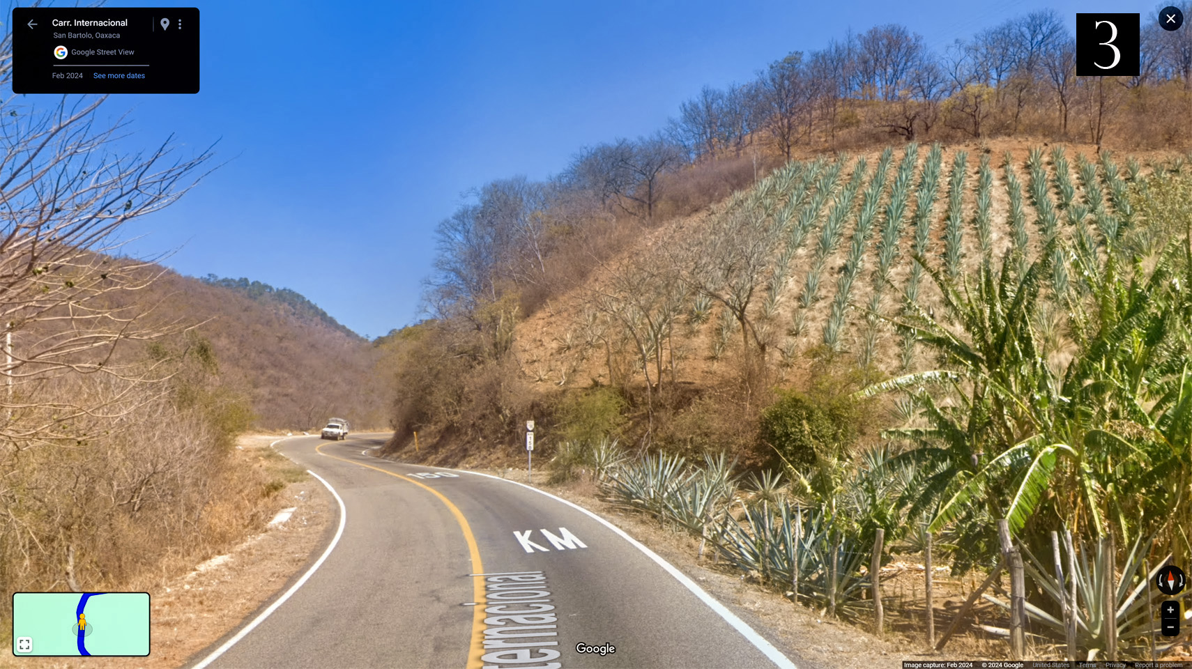
3). They don’t need flat land for growing agave. Any bare patch of dirt will do.
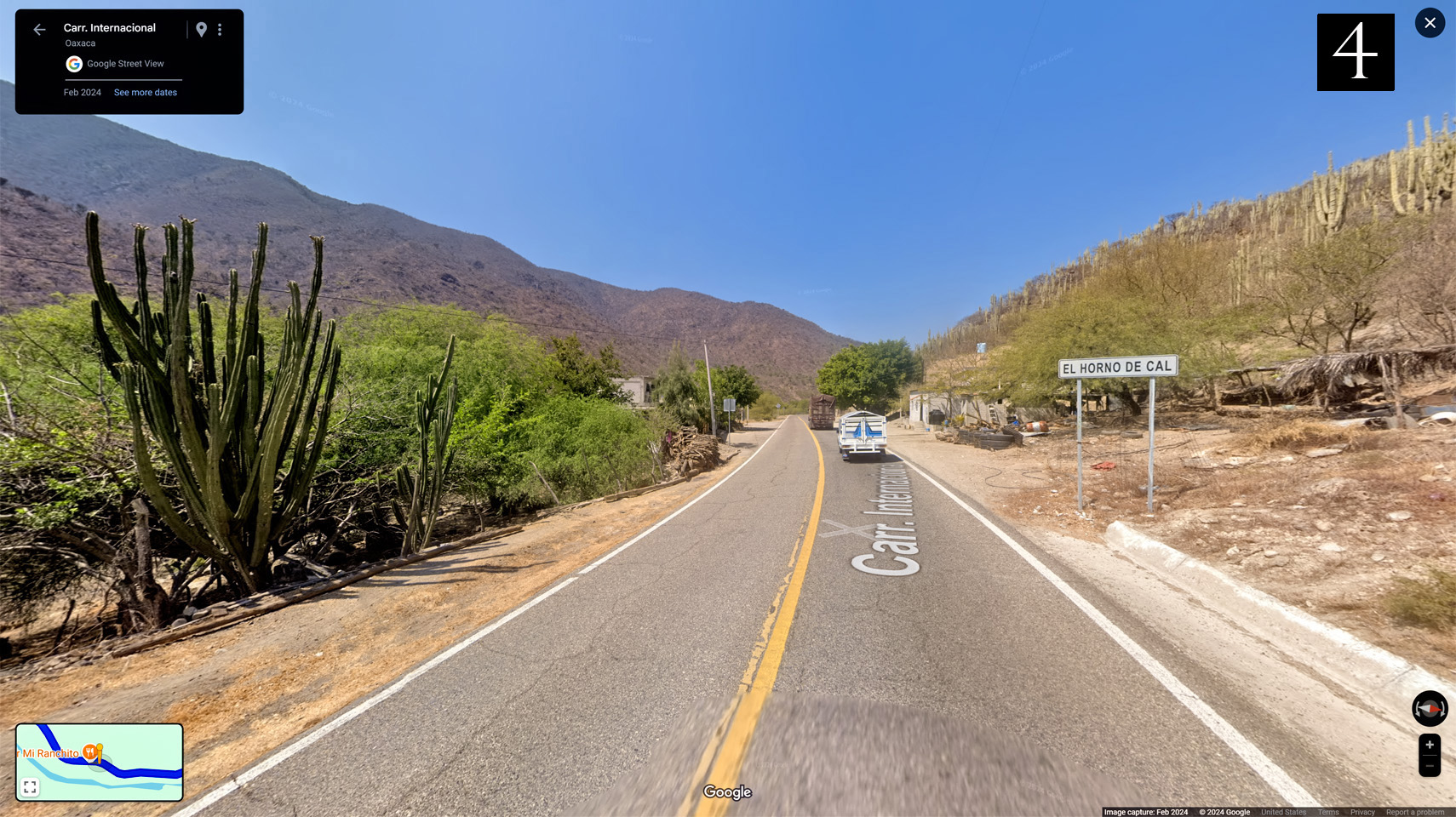
4.) A lime kiln, old fashioned method for producing an element needed to make cement.
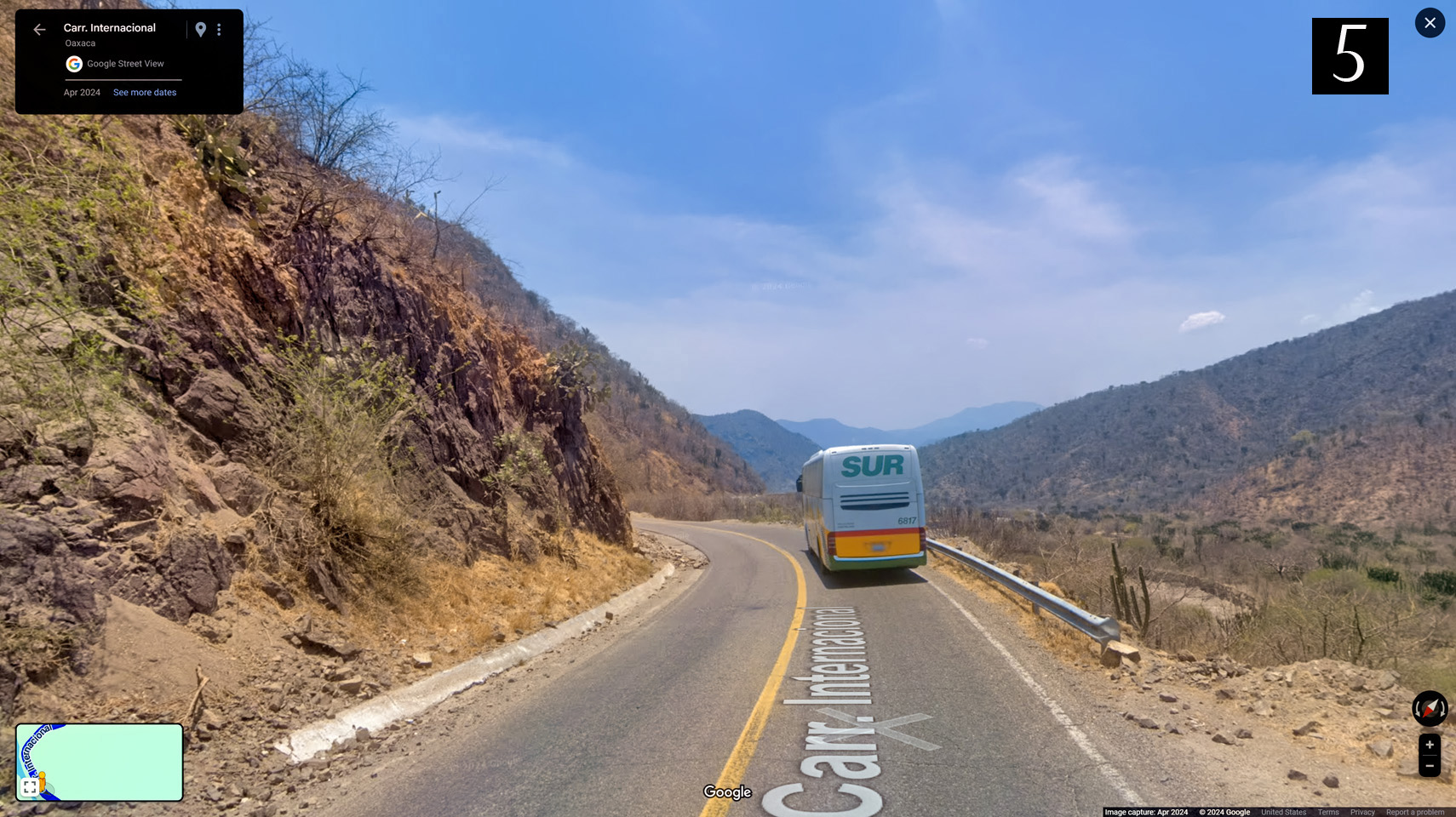
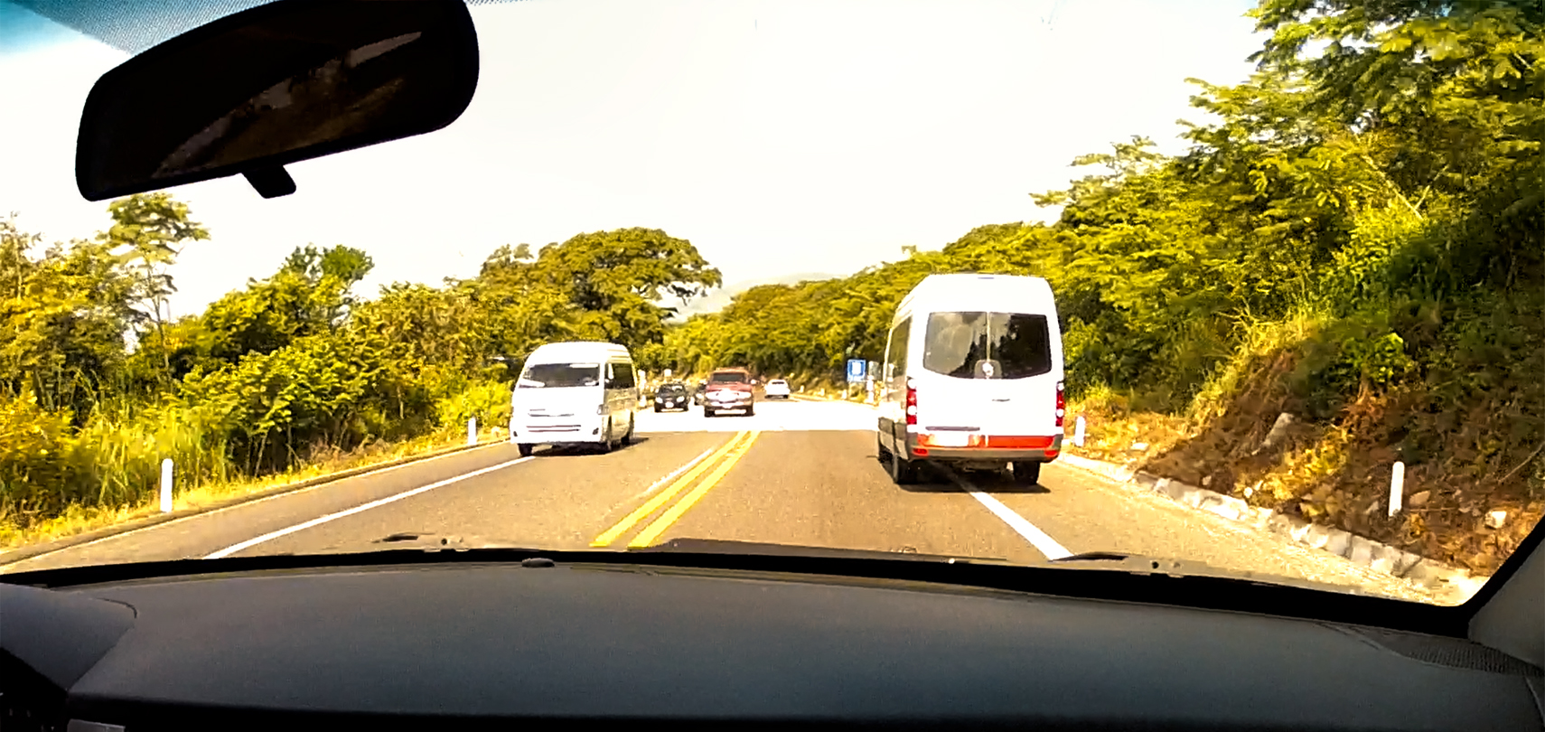
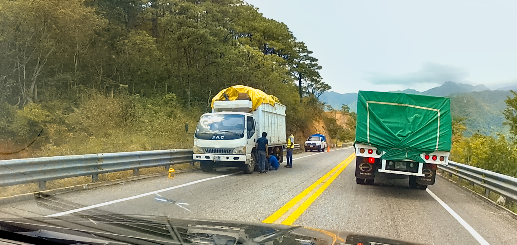
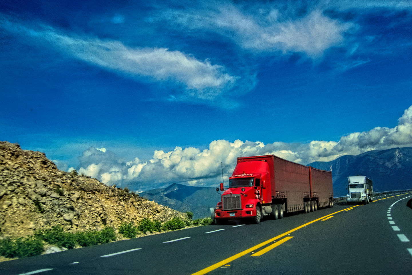
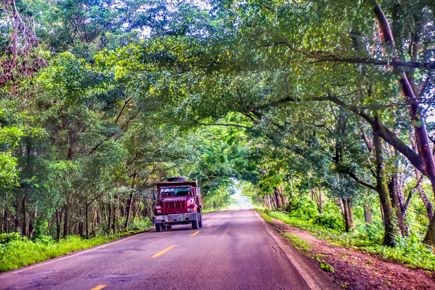
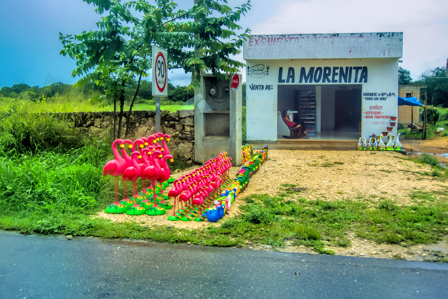
5). A cross country bus, by far the most common means of transport between cities in Mexico.
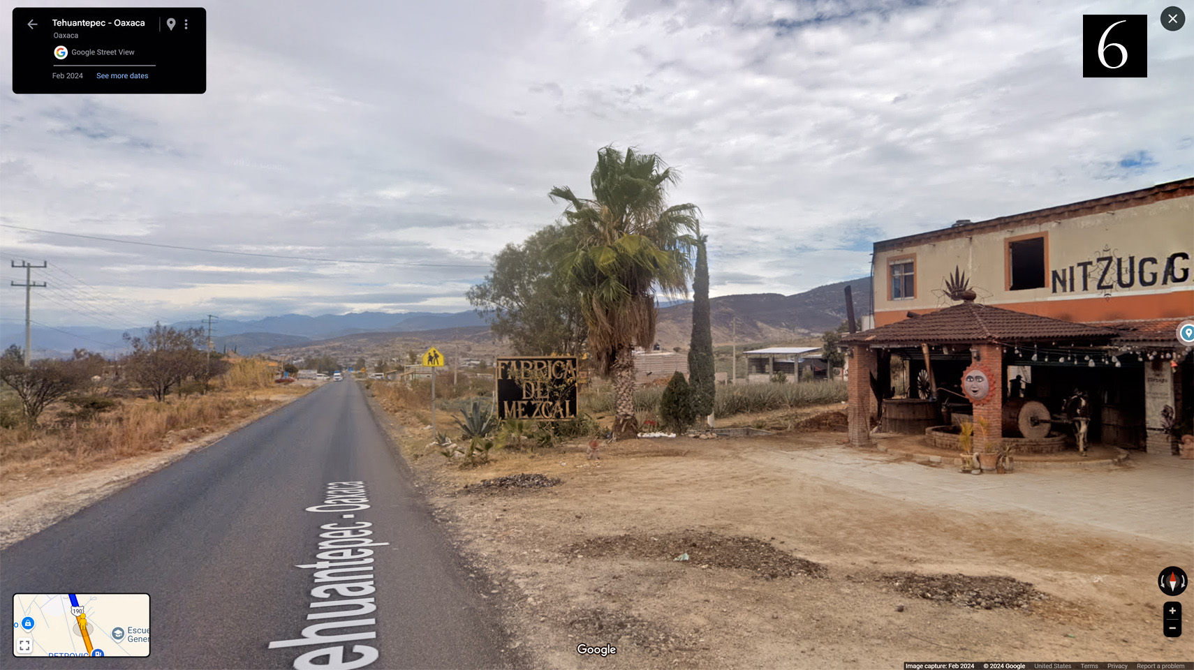
6). A small mescal factory with a pulping mill powered by a cow in harness, walking in circles.
Images © 2024 Google

As we climbed up into the Sierra Madre de Oaxaca, the terrain became much drier, with cactus and other desert vegetation, along with countless cultivated plots of agave, used to make Mescal.

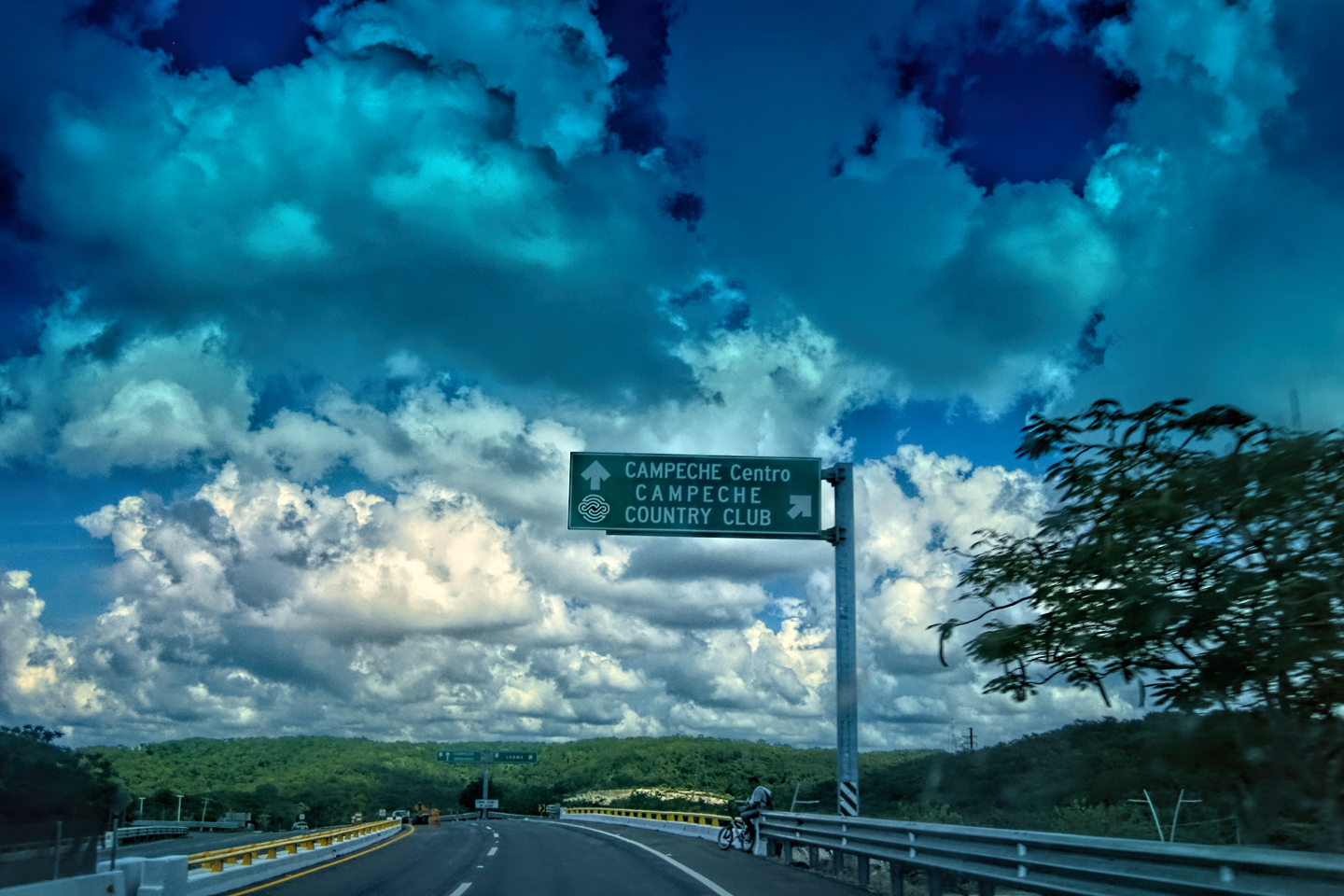
OAXACA
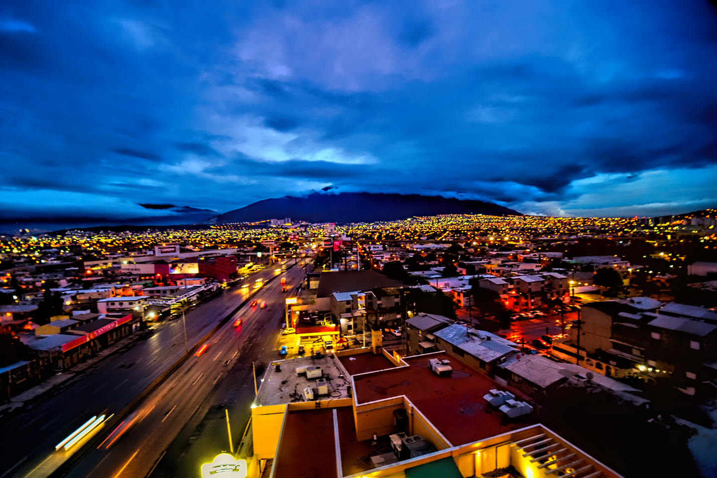
Driving in from the east, the town comes up rather abruptly. One minute, you’re in the mountains, and the next minute, you’re navigating busy city streets.
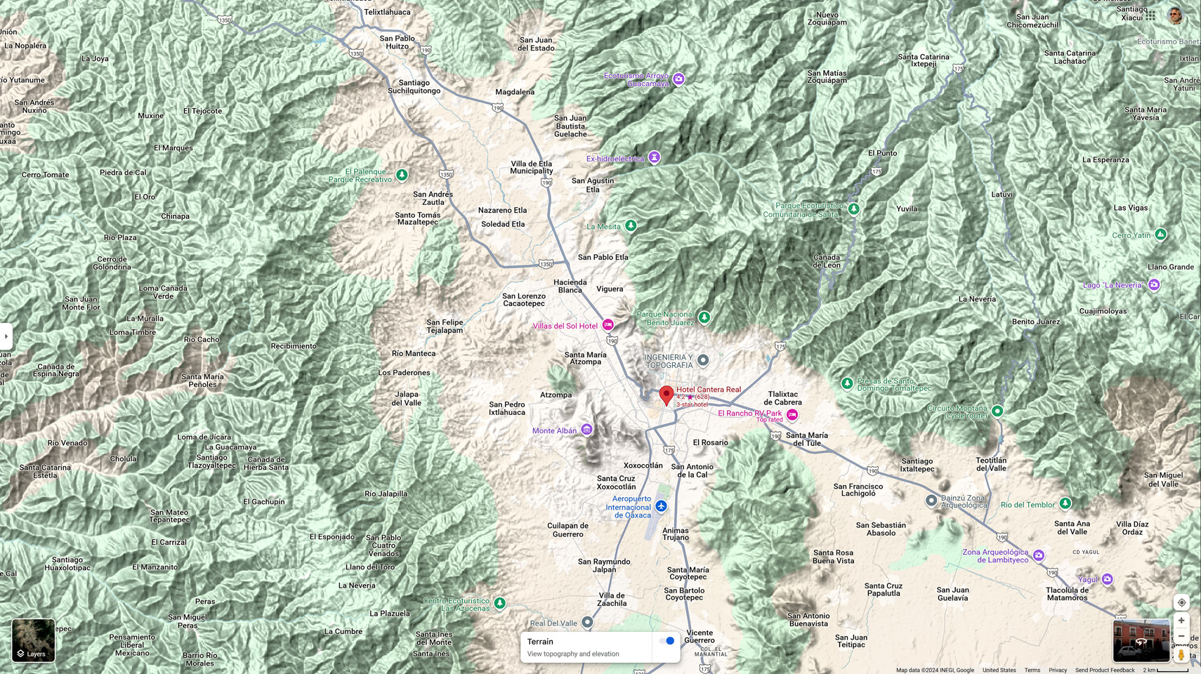
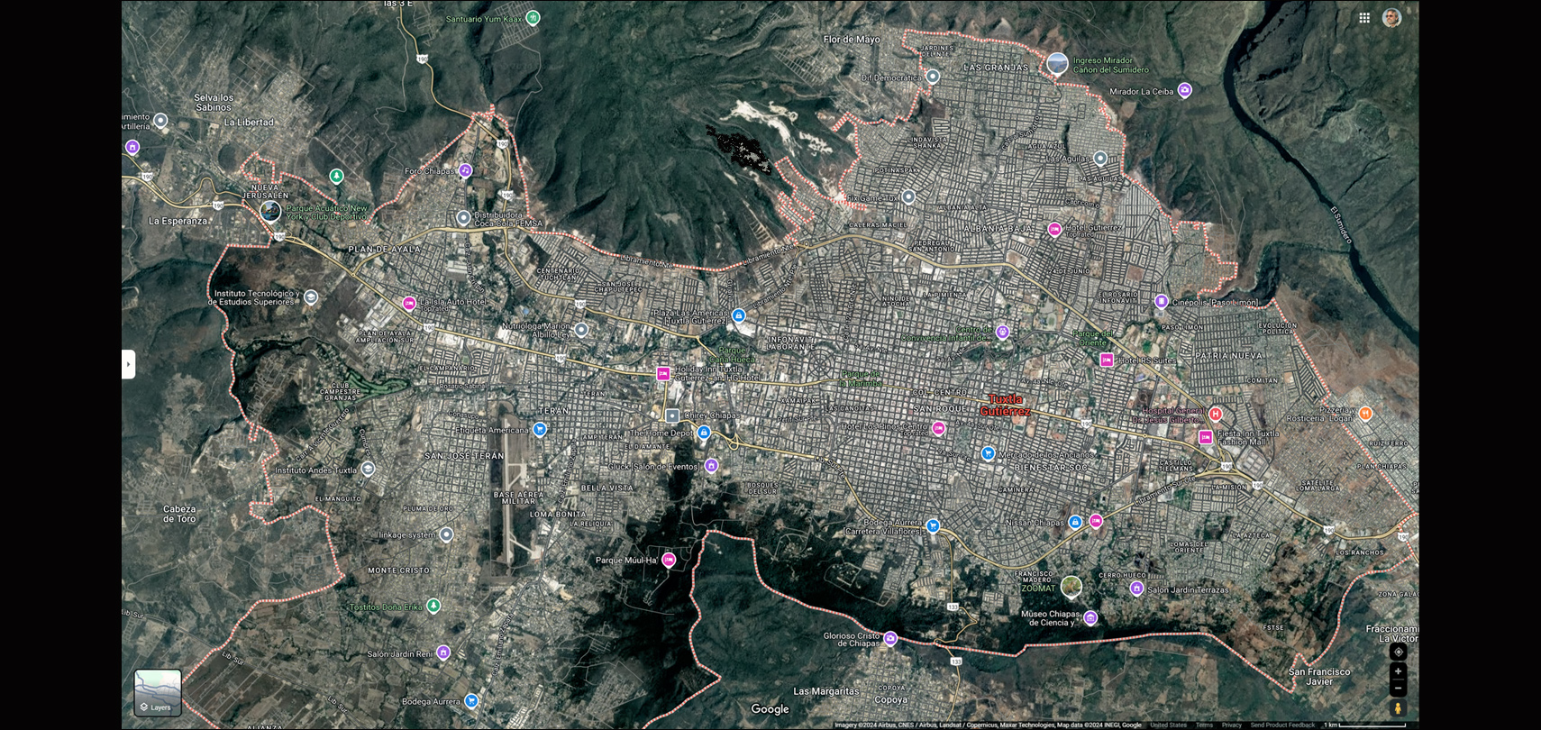
The City of Oaxaca, © Google Maps

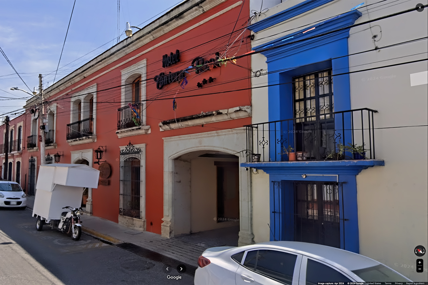
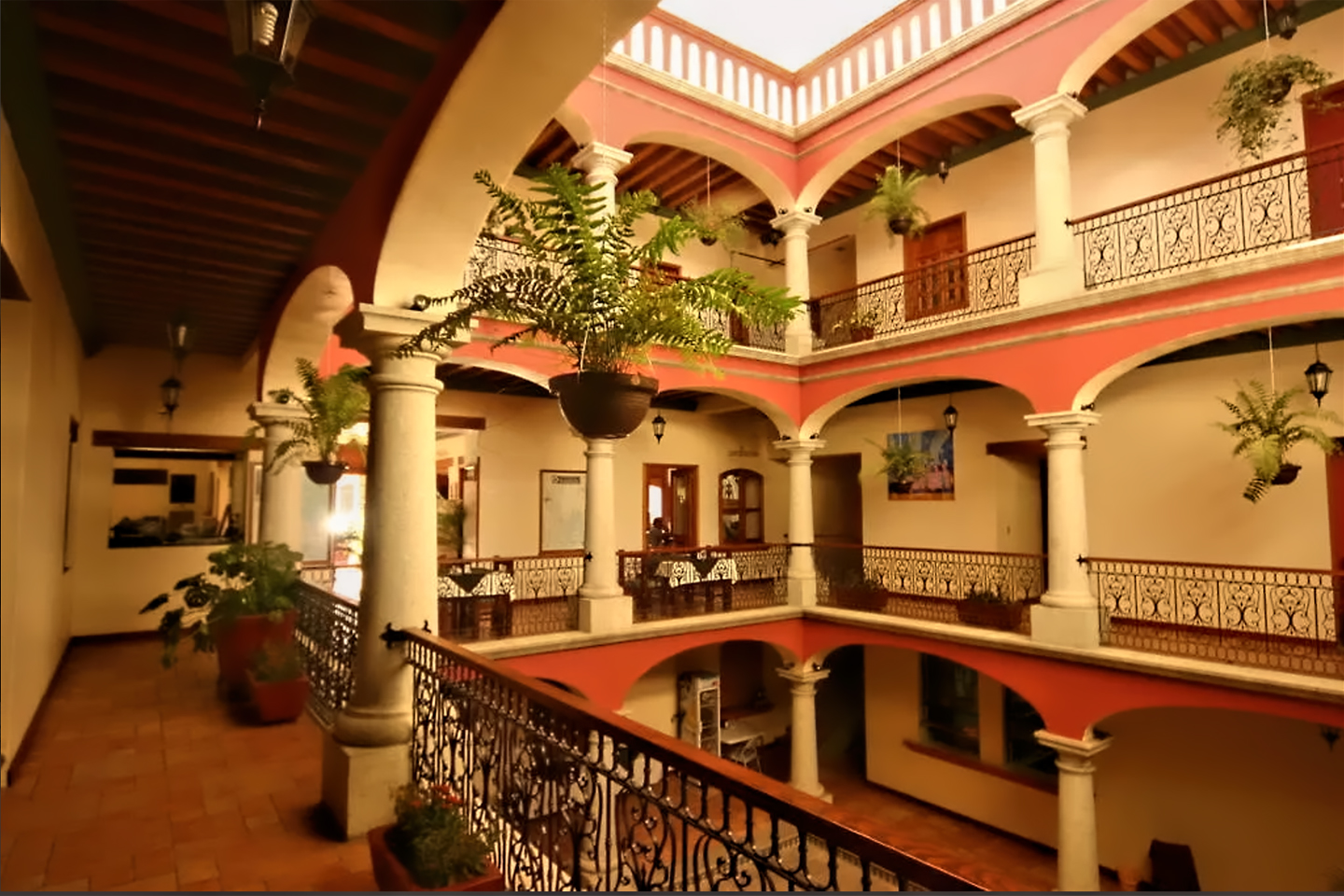
When we finally arrived, it was already quite late in the afternoon. We’d booked a room through Expedia.Mx, the Mexican version of Expedia, and it’s a good thing we did, because the city was jam-packed, gearing up for their own very impressive Dia de los Muertos celebration, just two days away. Visitors were pouring in from all over, filling up every hotel, every bar, and every restaurant in a 30 mile radius. At just $52 for the night (at that time, back in 2015), the Cantera Real was a bargain, and considering the fact that we booked it blind, at the last minute, during the week of a major national holiday? It was far nicer than we had any right to expect. Located in an old colonial building with an interior courtyard, and an easy walk to the city’s main attractions. Our only regret? That we couldn’t stay longer!
I don’t know if it would still be the same good deal today, but at that time (2015), Expedia.Mx found us some excellent bargains, at rates that were actually cheaper than we could have gotten, walking in off the street and bargaining directly with the hotel. I’ve never been a big fan of booking services like Expedia. I always felt they increased costs by adding an extra layer to the booking process, charging extra fees to the traveler, while siphoning profit from hotels that are frequently operating on the narrowest of margins. My experience with Expedia.Mx changed my attitude, at least conditionally. The Mexican version of the service presented options that we never would have found on our own, and it helped the hotels by filling rooms that might otherwise have gone unsold. Of greatest interest to us were the independent properties that were not on the main drag, which tended to be not only cheaper, but far more interesting than the Marriotts and the Holiday Inns and the other business class chain hotels from the U.S. and Europe.
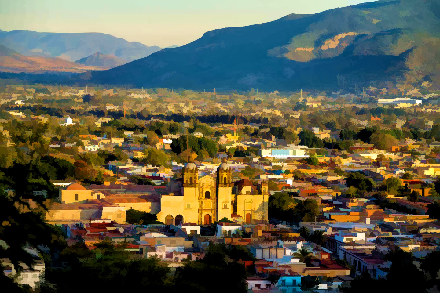
Oaxaca City
Oaxaca was one of the places I most wanted to see on this road trip, and we were actually there, but it was already getting dark, and after two long driving days back to back, we were both exhausted. We had dinner, somewhere near the hotel, and afterwards, instead of going out on the town, we went back to the room. The city was worth a few days, at minimum, and all we had was a few lousy hours? Unacceptable! I added Oaxaca to the growing list of places I was going to have to come back to, because this was just a tease, even worse than San Cristobal de las Casas, where we’d at least spent an afternoon and an evening exploring. Our visit to Oaxaca was so short, I barely remember having been there!
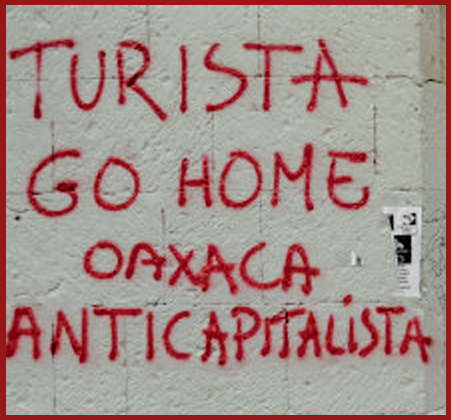
I would have loved to have had enough time to experience the city properly. Oaxaca is known for social and political activism, and a vibrant art scene. Student groups hold demonstrations, and indigenous activists organize protests. The Zapotecs, the largest indigenous group in the region, have roots here stretching back a thousand years or more. We saw a fair bit of graffiti, some of it wonderfully artistic, well executed and brightly colored, as well as some that came straight to the point: Turista Go Home (Tourist Go Home), Oaxaca AntiCapitalista.
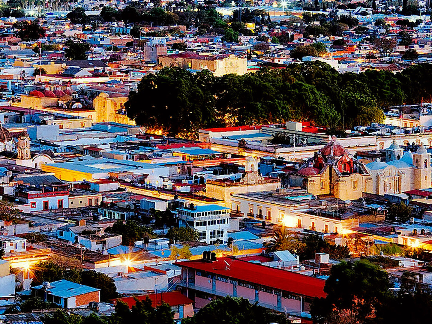
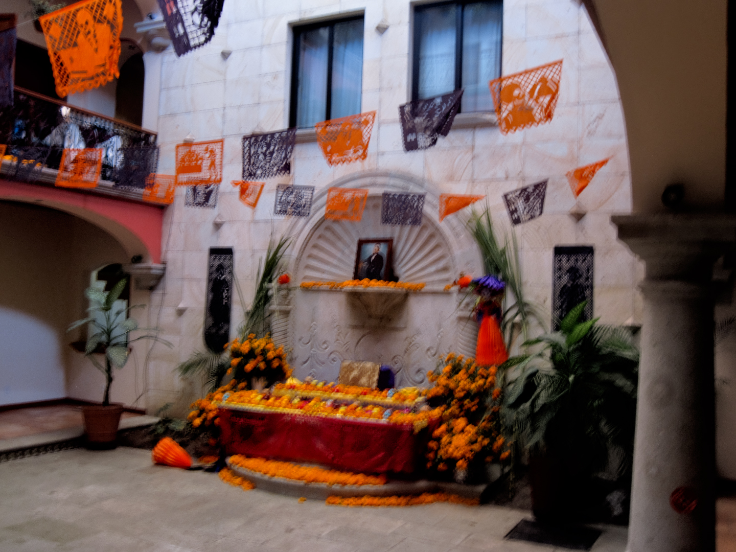
There was an ofrenda in the hotel’s underground garage, an altar, festooned with marigolds; the traditional shrine created by family members to honor deceased relatives during the Day of the Dead celebration. If we hadn’t been committed to San Miguel de Allende, we would surely have stayed in Oaxaca, which ranks right alongside San Miguel as one of the best places to celebrate the holiday. Out on the street, there was a frenzy of decoration going on, with ofrendas on street corners, and strings of marigolds draped from light poles, street signs, and trees. I got the sense that if I’d stood too long in one spot, I would have ended up with a painted face, and marigolds in my hair!
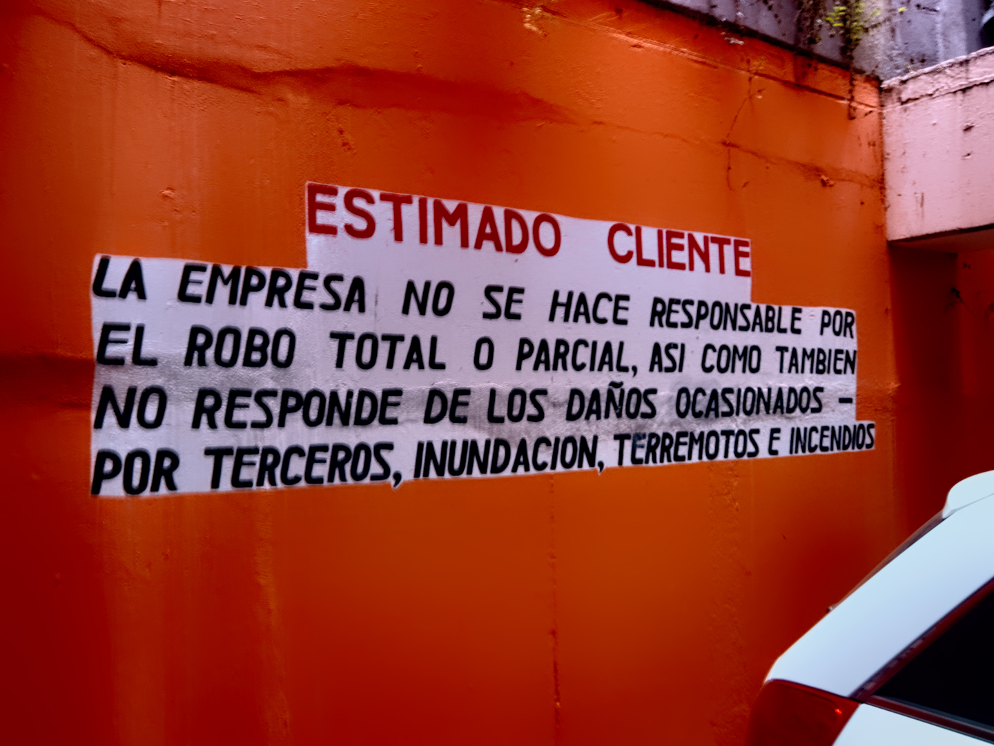
A Los Muertos Ofrenda, and a warning on the wall of our hotel garage: They’re not responsible for damage due to fires, floods, and earthquakes.
I tried not to think about all we were missing, by not spending more time in Oaxaca. Their cuisine, heavy on the spicy sauce known as molé, is world famous, and so is the Mescal, a popular alcoholic beverage distilled from agave. Mescal did not originate in Oaxaca, but 90% of all the Mescal in Mexico is produced there, making it a major regional enterprise, and a source of pride for the locals. Personally, I’ve always been a bit turned off by that stuff. It’s a close relative to Tequila, which I’ve often enjoyed in the form of Margaritas, but, in my mind, at least, matching Mescal against good Tequila is like comparing moonshine to top-shelf sipping whiskey. Most of the Mescal sold in the United States has an “extra ingredient,” a little something that some of the distillers started adding to their product in hopes of attracting attention and boosting sales.
Each of the bottles contains a gusano, a dead maguey worm, (actually a type of caterpillar), preserved by the alcohol, like a lab specimen. The worm isn’t considered a contaminant, it’s an ingredient, said to impart a unique flavor, and it’s there in accordance with a tradition beloved by drunken fraternity brothers everywhere: when a bottle of Mescal is passed around at a party, whoever ends up with the last swig is honor bound to eat the worm.
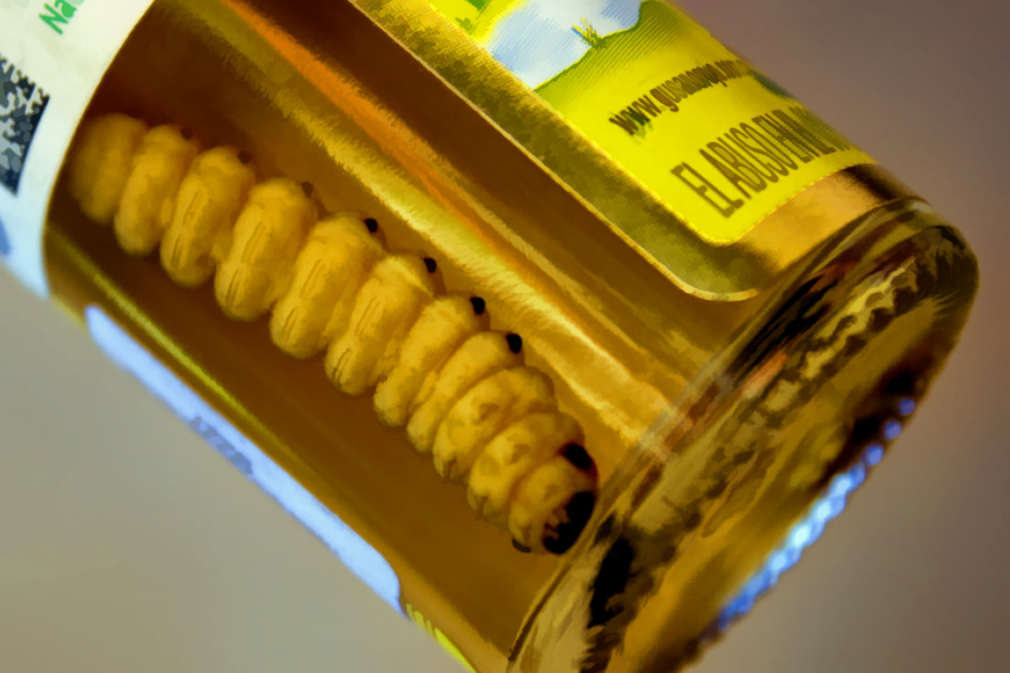
Mescal, with a plump maguey worm in the bottle.

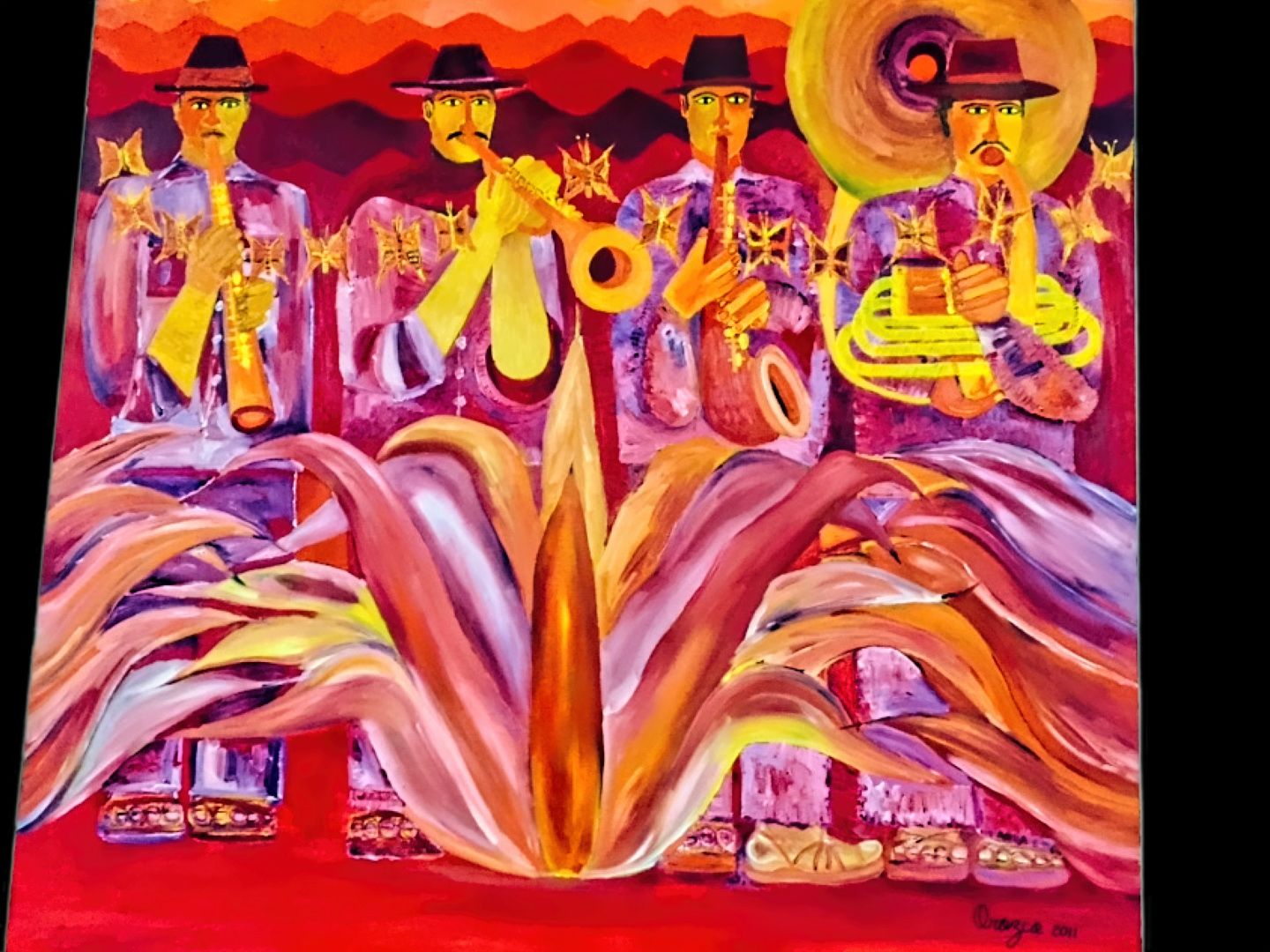
Paintings by local artists in Oaxaca
There are brilliant local painters whose work aligns with the “Oaxacan School,” a primitive style which draws inspiration from Native American themes, and features often bizarre depictions of “magical realism.” I would have loved to take in one or two of their good museums, or to browse in the art galleries. (See “The 6 Best Museums and Galleries in Oaxaca, Lonely Planet.com). Original paintings are beyond my means, even in Mexico, but it would have been cool to pick up a poster or two to frame on my wall at home. When it comes to art and traditional handicrafts, each of the different regions in Mexico has their own unique style, and Oaxaca has more to offer than most.
Shortly after dinner, as we were heading upstairs to our room, there was a bit of excitement in the lobby. A crew from one of the TV stations in Mexico City had just arrived in Oaxaca to cover the holiday, and they were apparently all staying at our hotel. The two reporters, a silver-haired man in a suit and tie, and an attractive woman in a dangerously short skirt, were apparently well-known celebrities, and their arrival created a minor uproar among the staff, setting off a flurry of selfie-taking and autograph signing. Mike and I watched all that from behind the railing on the second floor, then ducked into our room for some much needed sleep.
We were facing another long drive the next day, at least ten hours to Querétaro, where we planned to stay the night. From there, it was a hop and a skip to San Miguel de Allende, and if all went according to plan, we’d be arriving just in time for the beginning of the three day fiesta. We’d been looking forward to it for weeks. All we had to do now was get there!
Next up: Day 22,: Oaxaca → QUERETARO → Tequisquiapan …with an unfortunate incident along the way. Read all about it in my next post:
Mexican Road Trip: Flashing Lights in the Rear View: Officer Plata and La Mordida.

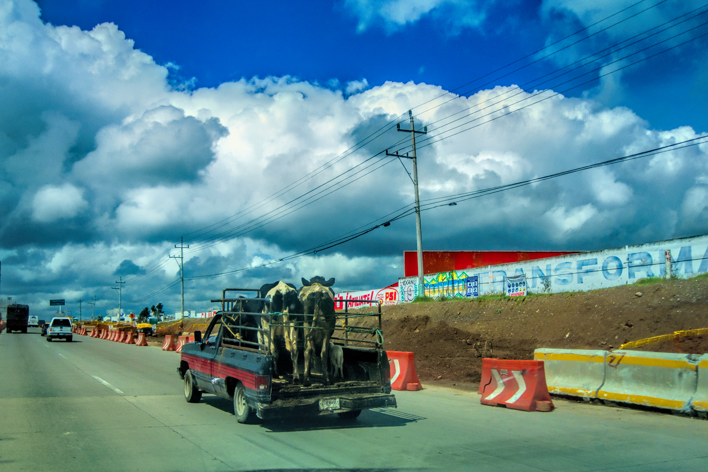
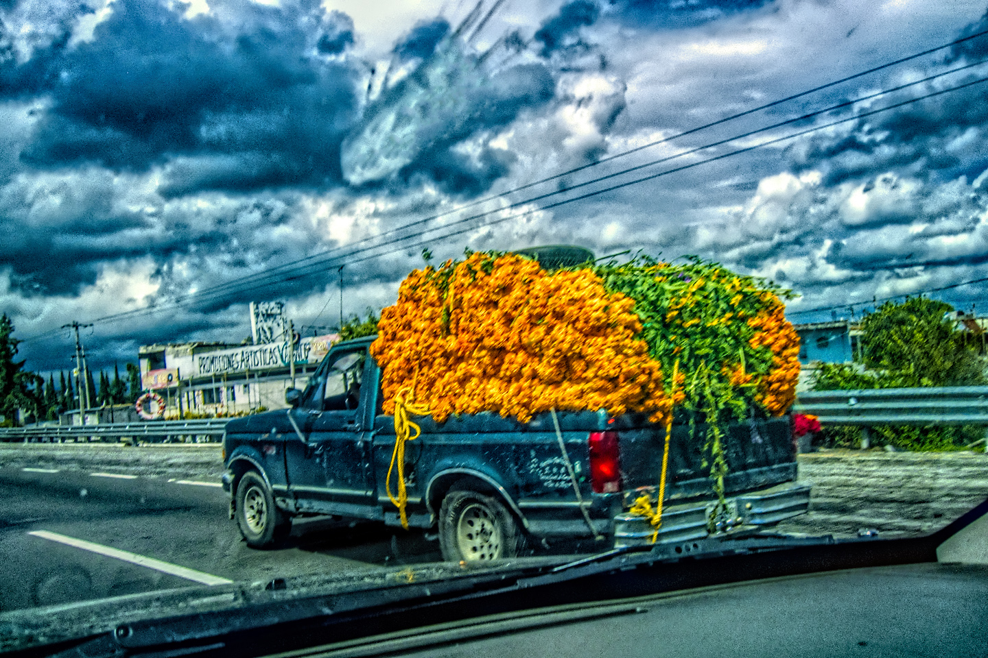
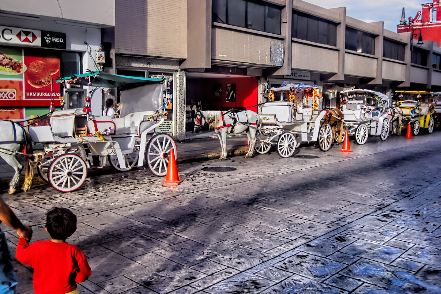
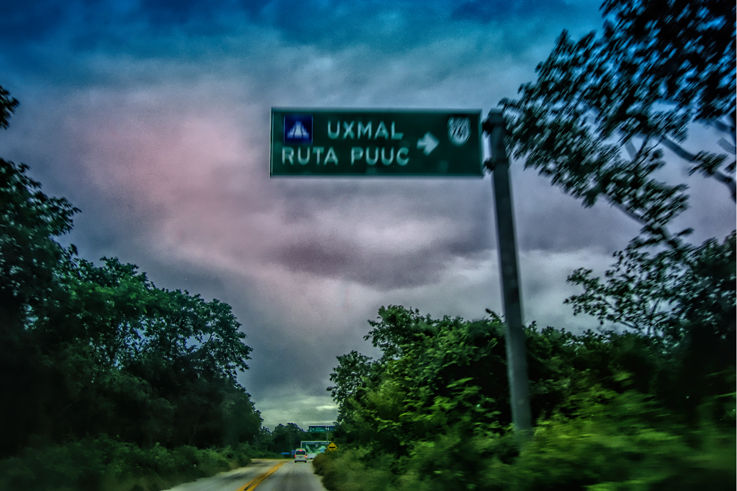
The collage below features additional photos taken on the road in Mexico by my inestimable shotgun rider, Michael Fritz. Click any image to expand them to full screen:
(Unless otherwise noted, all other images are my (or Michael’s) original work, and are protected by copyright. They may not be duplicated for commercial purposes.)
Click any photo to expand the image to full screen


Michael Fritz, “Elmo,” 1949-2025
READ MORE LIKE THIS:
This is an interactive Table of Contents. Click the thumbnails to open the pages.
ON THE ROAD IN MEXICO

MEXICAN ROAD TRIP: HOW TO PLAN AND PREPARE FOR A DRIVE TO THE YUCATAN
The published threat levels are a “full-stop” deal breaker for the average tourist. That’s unfortunate, because Mexican road trips are fantastic! Yes, there are risks, but all you have to do to reduce those risks to to an acceptable level is follow a few simple guidelines.
<<CLICK to Read More!>>

Mexican Road Trip: Heading South, From Laredo to Villahermosa
When it was our turn, soldiers in SWAT gear surrounded my Jeep, and an officer with a machine gun gestured for me to roll down my window. He asked me where we were going. I’d learned my lesson in customs, and knew better than to mention the Yucatan. “We’re going to Monterrey,” I said, without elaborating.
He checked our ID’s and our travel documents, then handed them back. “Don’t stop along the way,” he advised. “You need to get off this road and to a safe place as quickly as you can!”
<<CLICK to Read More!>>

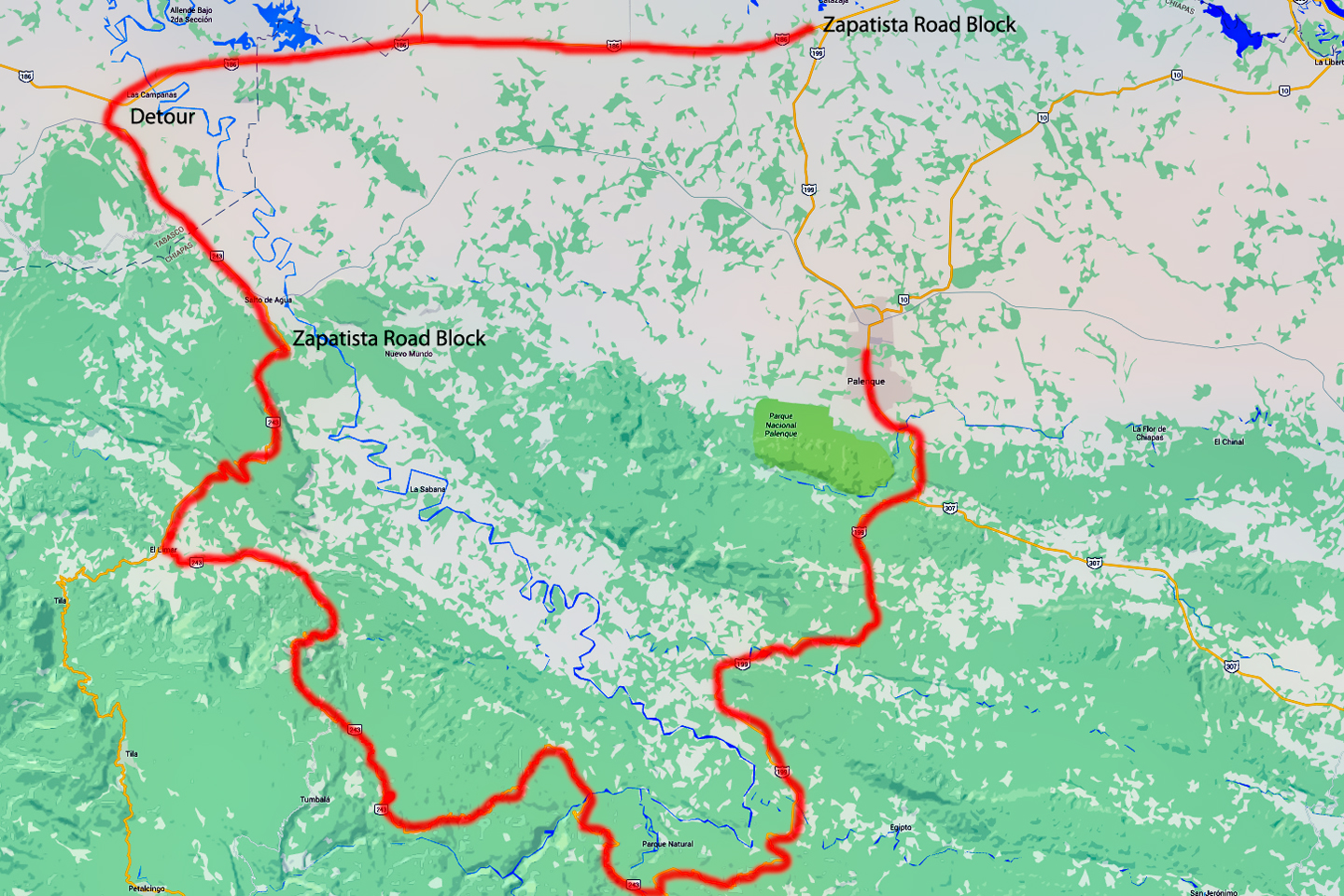
Mexican Road Trip: Zapatista Road Blocks in Chiapas
“Good morning,” I said. “We’re driving to Palenque. Will you allow us to pass?”
The leader of the group, a young Mayan lad, walked up beside my Jeep, and fixed me with a menacing glare. “The road is closed,” he said, keeping his hand on the hilt of his machete. “By order of the Ejército Zapatista de Liberación Nacional!”
“Is it closed to everyone?” I asked innocently. “How about if we pay a toll? How much would the toll be?”
He gave me an even more menacing glare. “That will cost you everything you’ve got,” he said gruffly, brandishing his machete, while his companions did the same.
<<CLICK to Read More!>>

Mexican Road Trip: Mayan Ruins and Waterfalls in the Lacandon Jungle
The next morning, we were waiting at the entrance to the Archaeological Park a half hour before they opened for the day. We were the only ones there, so they let us through early, and I had the glorious privelege of photographing that wonderful ruin in the golden light of early morning, without a single fellow tourist cluttering my view.
<<CLICK to Read More!>>

Mexican Road Trip: Merida and the Meridanos
Merida is the largest city in southern Mexico, with a population of almost a million. Statistically, Yucatan is the safest of Mexico’s states, and Merida is widely considered the safest of all Mexico’s cities.
<<CLICK to Read More!>>


Mexican Road Trip: Cancún, Tulum, and the Riviera Maya
The millions of tourists who fly directly to Cancún from the U.S. or Canada are seeing the place out of context. They can’t possibly appreciate the fact that they’re 2,000 miles south of the border; a whole country, a whole culture, a whole history away from the U.S.A. Just looking around, on the surface? The second largest city in southern Mexico could easily pass for a beach town in Florida.
<<CLICK to Read More!>>

Mexican Road Trip: Circling the Yucatan, from Quintana Roo to Campeche
The Castillo at Muyil isn't huge, as Mayan pyramids go, topping out at just over 50 feet, but it’s definitely imposing. Try to imagine: the equivalent of a five story building, with a three story grand staircase, just appearing, out in the middle of nowhere? Boo-yah!
<<CLICK to Read More!>>

Mexican Road Trip: Edzná, and Campeche, Where They Dance La Guaranducha
La Guaranducha, a traditional dance from Campeche, is a celebration of life, community, and the joy of existence. On stage, there was a group of young men and women in traditional dress, but it was clear that the guys were little more than props, because all eyes were on the girls. So colorful, and so elegant, hiding coyly behind their pleated, folding hand fans.

Mexican Road Trip: Adventures Along the Puuc Route
All of these communities in the Puuc region were allied, politically, culturally, economically, and socially. The Puuc was the cradle of the Golden Age of the Maya. Labna and Sayil were among the brightest jewels in the crown of a realm that never quite coalesced into an empire.
<<CLICK to Read More!>>

Mexican Road Trip: The Road to Bonampak
Rainwater seeping through the limestone walls of the temple soaked the Bonampak Murals with a mineral-rich solution that, each time it dried, left behind a sheen of translucent calcite. The built-up coating protected the paintings for more than 1200 years. As a result, we're left with the finest examples of ancient art from the Americas to have survived into our modern era.

Mexican Road Trip: Crossing the Chiapas Highlands, to San Cristobal de las Casas
MX 199 crosses the Chiapas Highlands from Palenque to San Cristobal de las Casas. The distance is only 132 miles, but it's 132 miles of curvy mountain roads with switchbacks, steep grades, slow trucks, and villages chock-a-block with topes and bloqueos, unofficial road blocks. Everything I read, and everything I heard, described the drive as alternatively spectacular, dangerous, and fascinating, in seemingly equal measure.

Mexican Road Trip: Cruising the Sierra Madre, from San Cristobal to Oaxaca
Today, we’d be driving as far as the city of Oaxaca, 380 miles of curves, switchbacks, and rolling hills that would require at least ten hours of our full attention, crossing the Sierra Madre de Chiapas, and entering the rugged, agave-studded landscape of the Sierra Madre de Oaxaca. If you’d like to know what that was like, read on!
Mexican Road Trip: Flashing Lights in the Rear View: Officer Plata and La Mordida
As we drove away from the toll plaza, a State Police car that had been parked off to one side made a fast U-Turn and started following me. A moment later, he turned on his flashers and gave me a short blast on his siren, motioning for me to pull over. Two uniformed policemen got out, and approached me on the driver's side. One of them hung back, apparently checking out my license plate before making a phone call.
I wasn't sure if I was being stopped for some infraction, or if these guys were just fishing...

Mexican Road Trip: Three Days of the Dead in San Miguel de Allende
By mid-afternoon, the Jardin was beginning to fill with people. Painted faces were literally everywhere! It was like a costume party, but the venue wasn’t some hall or other indoor space, it was the whole entire town! Mike and I were definitely getting into the spirit of the thing–but we still drew the line at the notion of painting our beards...
Mexican Road Trip: Back to the Border: San Miguel de Allende to Eagle Pass
Saltillo was our crossroads: if we turned east here, we’d be retracing our previous route to the border at Nuevo Laredo--along the Highway of Death! This time, we knew better, so we turned north, toward Monclova, and Piedras Negras.


Southern Colonials: Merida, Campeche, and San Cristobal
Visiting the Spanish Colonial cities of Mexico is almost like traveling back in time. Narrow cobblestone streets wind between buildings, facades, and stately old mansions that date back three hundred years or more, along with beautiful plazas, parks, and soaring cathedrals, all of similar vintage.
<<CLICK to Read More!>>

San Miguel de Allende, Mexico's Colonial Gem
If you include the chilangos, (escapees from Mexico City), close to 20% of the population of San Miguel de Allende is from somewhere else, a figure that includes several thousand American retirees.
<<CLICK to Read More!>>

Day of the Dead in San Miguel de Allende
In San Miguel de Allende, they've adopted a variation on the American version of Halloween and made it a part of their Day of the Dead celebration. Costumed children circle the square seeking candy hand-outs from the crowd of onlookers. It's a wonderful, colorful parade that's all about the treats, with no tricks!
<<CLICK to Read More!>>
DIA DE LOS MUERTOS: A GALLERY OF PHOTOGRAPHS


IN THE LAND OF THE MAYA

Palenque: Mayan City in the Hills of Chiapas
Palenque! Just hearing the name conjures images of crumbling limestone pyramids rising up out of the jungle, of palaces and temples cloaked in mist, ornate stone carvings, colorful parrots and toucans flitting from tree to tree in the dense forest that constantly encroaches, threatening to swallow the place whole.
<<CLICK to Read More!>>

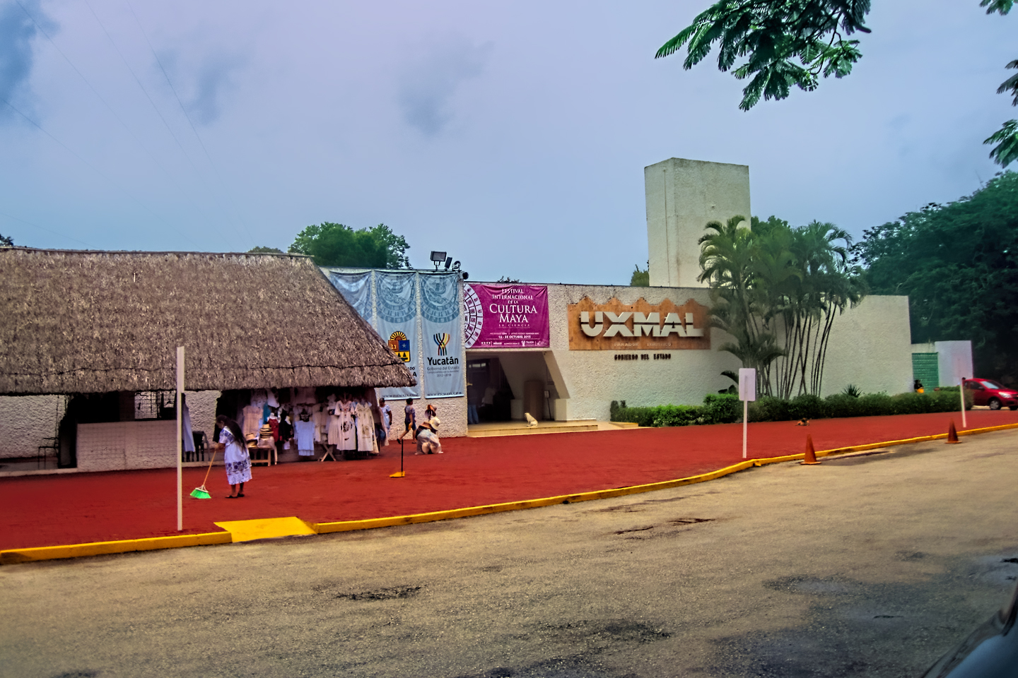
Uxmal: Architectural Perfection in the Land of the Maya
The Pyramid of the Magician is one of the most impressive monuments I've ever seen. There's a powerful energy in that spot--maybe something to do with all the blood that was spilled on the altars of human sacrifice at the top of those impossibly steep steps--but more than any building or other structure at any ancient ruin I've ever visited, more than any demonic ancient sculpture I've ever seen, that pyramid at Uxmal quite frankly scared the hell out of me!
<<CLICK to Read More!>>

The Mayan City of Edzná: First House of the Itzás
The Mayan Edzná is nothing less than epic, lyrical poetry, an extraordinary sonnet comprised of temples and palaces carved in stone that have stood, in regal grandeur, for more than a thousand years.
<<CLICK to Read More!>>

Photographer's Assignment: Chichén Itzá
To get the best photos, arrive at the park before it opens at 8 AM. There will only be a handful of other visitors, and you’ll have the place practically all to yourself for as much as two hours! Take your time composing your perfect shot.There won’t be a single selfie stick in sight.
<<CLICK to Read More!>>

Chichén Itzá: Requiem for the Feathered Serpent
The feathered serpent with the unquenchable thirst for blood may be gone now, or at least fallen out of favor, but as long as the ruins of this ancient city remain standing, he won’t be forgotten.
<<CLICK to Read More!>>

Tulum: The City that Greets the Dawn
Tulum is not all that large, as Mayan sites go, but its spectacular location, right on the east coast of the Yucatan Peninsula, makes it one of the best known, and definitely one of the most picturesque.
<<CLICK to Read More!>>

Cobá and Muyil: Mayan Cities in Quintana Roo
Cobá was a trading hub, positioned at the nexus of a network of raised stone and plaster causeways known as the sacbeob, the white roads, some of which extended for as much as 100 kilometers, connecting far-flung Mayan communities and helping to cement the influence of this powerful city.
<<CLICK to Read More!>>

Becan and Chicanná: Mayan Cities in the Rio Bec Style
Much about the Rio Bec architectural style was based on illusion: common elements include staircases that go nowhere and serve no function, false doorways into alcoves that end in blank walls, and buildings that appear to be temples, but are actually solid structures with no interior space.
<<CLICK to Read More!>>

The Puuc Hills: Apex of Mayan Architecture
The Puuc style was a whole new way of building. The craftsmanship was unsurpassed, and some of the monumental structures created in this period, most notably the Governor’s Palace at Uxmal, rank among the greatest architectural achievements of all time.
<<CLICK to Read More!>>

The Amazing Mayan Murals of Bonampak
Out of that handful of Mayan sites where mural paintings have survived, there is one in particular that stands head and shoulders above the rest. One very special place. Down by the Guatemalan border, in a remote corner of the Mexican State of Chiapas: a small Mayan ruin known as Bonampak.
<<CLICK to Read More!>>
This series of posts is dedicated to my old friend Mike Fritz (aka Mr. Whiskers), my shotgun rider on my Mexican Road Trip. "Drive to the Yucatan and See Mayan Ruins" was at the top of my post-retirement bucket list, right after "Drive the Alaska Highway and see Denali." We checked off the whole Yucatan thing in a major way, and Mike was a heck of a good sport about it.
Michael passed away in February of 2025, after 75 years of a life well-lived. He was unique, and he'll be missed.

Michael Fritz ("Elmo") 1949-2025

There's nothing like a good road trip. Whether you're flying solo or with your family, on a motorcycle or in an RV, across your state or across the country, the important thing is that you're out there, away from your town, your work, your routine, meeting new people, seeing new sights, building the best kind of memories while living your life to the fullest.
Are you a veteran road tripper who loves grand vistas, or someone who's never done it, but would love to give it a try? Either way, you should consider making the Southwestern U.S. the scene of your own next adventure.
A few years ago I wrote a book about road trips in Arizona and New Mexico that's a lot like this website, packed with interesting information, and illustrated with beautiful photographs. Check it out! You can find it on Amazon, and at all other major booksellers.

ALASKA ROAD TRIP:
MEXICAN ROAD TRIP (IN THE LAND OF THE MAYA):
ARIZONA AND NEW MEXICO:
SOUTH AMERICA:
PHOTOGRAPHY:
TRIBAL LANDS:


Recent Comments