DAY 4: AFTER THE ROADBLOCKS: THE ANCIENT MAYAN CITY OF PALENQUE
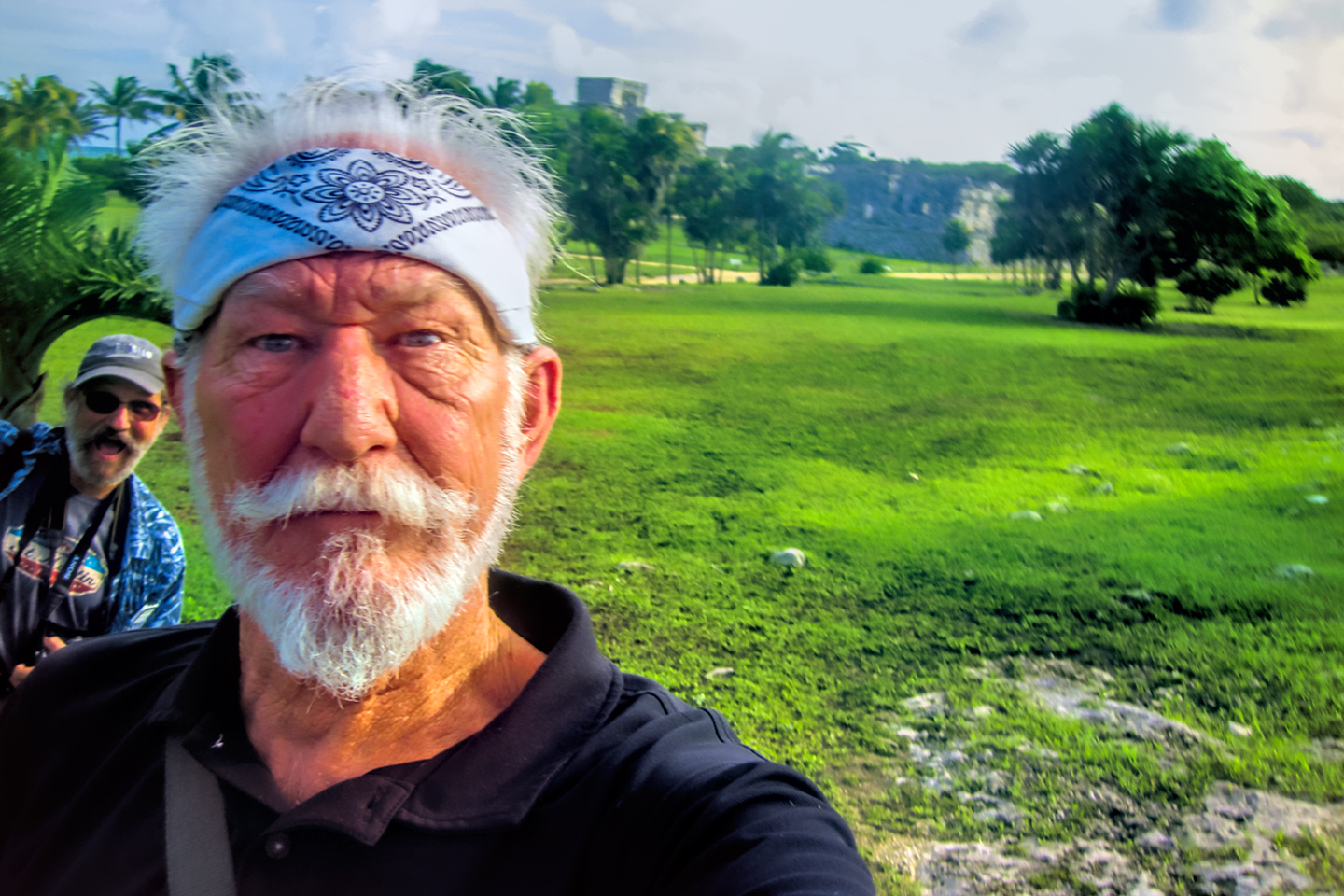
As a photographer, my favorite subject has always been beautiful landscapes, of the sort that you find in our National Parks, but ruined buildings, especially those that are ancient and iconic, run a very close second place. The Mayan cities in the Yucatan had been at the top of my bucket list for decades, but it wasn’t until after I retired that I finally had the free time, along with the wherewithal to actually make the long drive south, to see them for myself. Anticipation had been building since we started this road trip, through the course of four days, more than 1,300 miles, and some truly one-of-a-kind adventures. We’d spent the first half of this 4th day bashing through the countryside, evading Zapatista road blocks. Now, at long last, it was time for the good stuff!
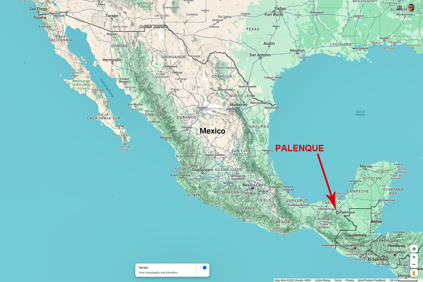
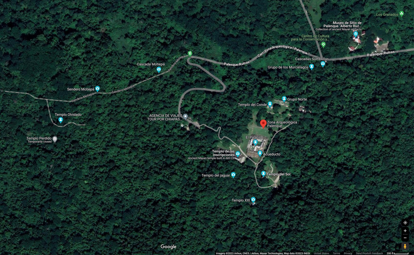
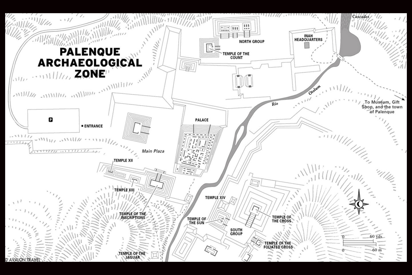
Location of the ruins of Palenque, adjacent to the town after which they were named
CLICK PHOTOS AND MAPS TO EXPAND

Palenque and the Yucatan Peninsula
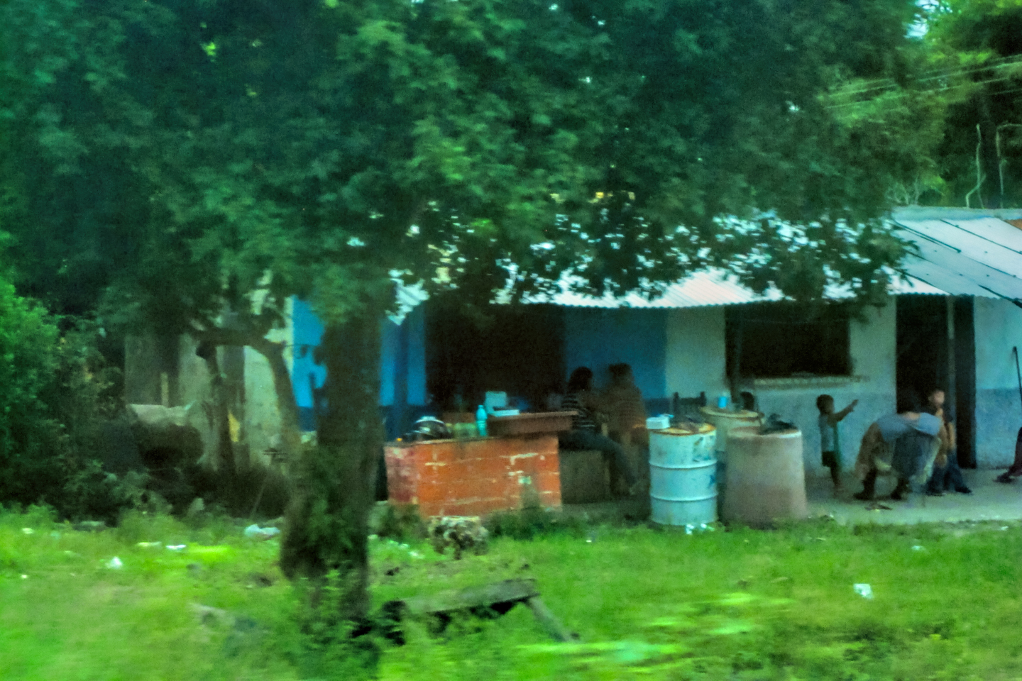
The Yucatan was our nominal goal on this road trip, but I’d decided to make Palenque our first stop, mostly because it was the first Mayan ruin that we came to on our way south from the border. Palenque was one of the southern Mayan kingdoms, at its peak during the Classic Era, more than a thousand years ago. It’s located in the State of Chiapas, in an area known as the Lacandon Jungle, well south of the Yucatan Peninsula. We drove to the town of Palenque, which I assumed was named after the ruined Mayan city. Turned out to be the other way around. Palenque, the town, is one of the oldest in southern Mexico, founded in 1567, with a current population of more than 130,000 residents. Palenque, the ruin, just five miles away, is the singular tourist attraction in the area, and the only real reason for stopping there.
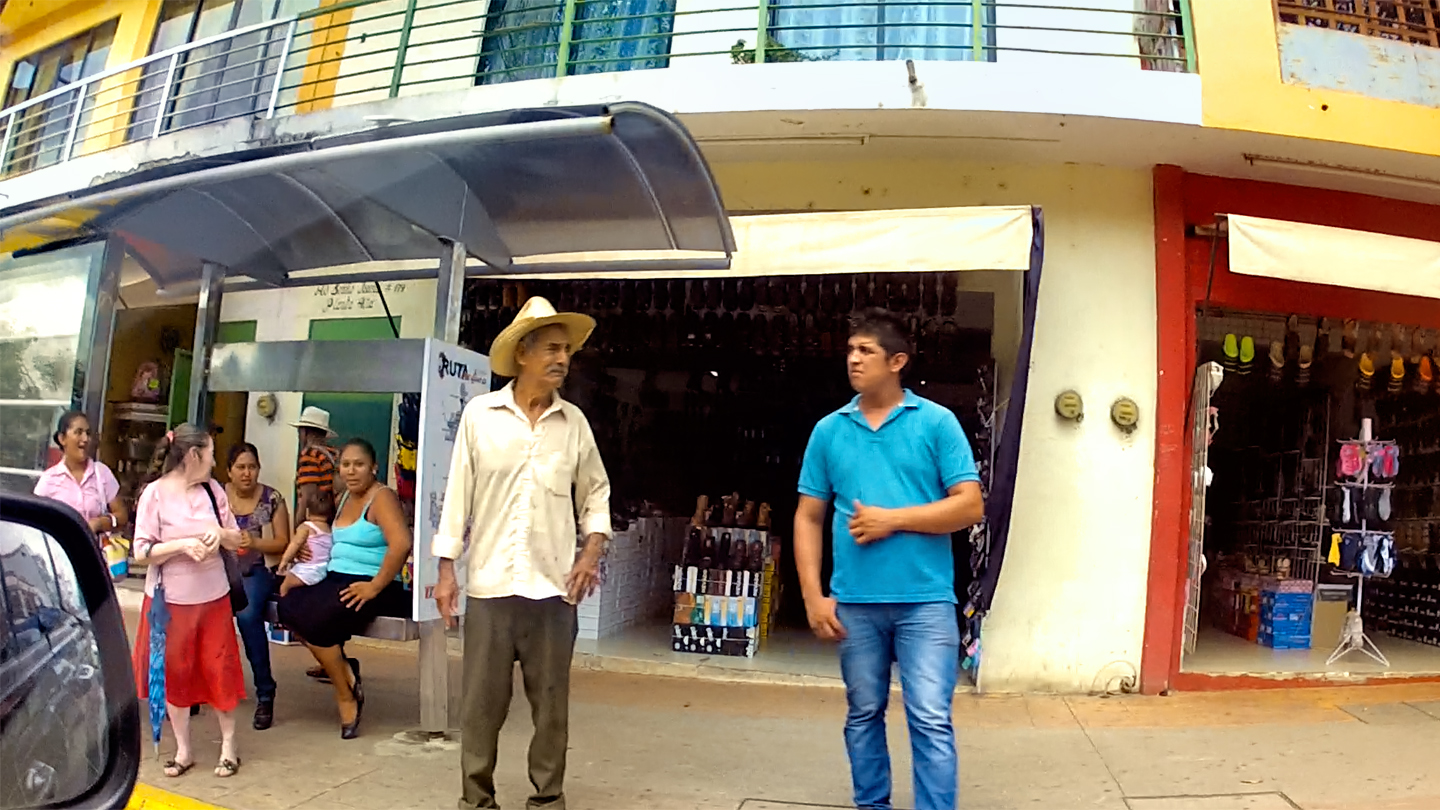
Street scene in the town of Palenque
Palenque is one of the most famous Mayan cities, not because it’s the biggest or the most elaborate, rather because it was the first to come to the attention of the outside world, as far back as the 17th century. Traveler’s descriptions of the ruins, illustrated with detailed drawings, inspired much debate among the European intelligentsia, who argued about the origins of the remarkable stone buildings that had been discovered, buried in the steaming jungle. Many scholars assumed that the ruins must have been left by Romans, or Phoenicians, while others saw them as remnants of the lost city of Atlantis! No one thought it possible that the primitive people native to the area could have produced such wonders on their own. Later research proved them all wrong, of course, because the modern day Maya, primitive though they might seem, are the direct descendents of the pyramid builders, and not so very far removed.
Of all the Mayan ruins in Mexico, Palenque is one of the most thoroughly and extensively studied. Today’s scholars actually do know a fair bit about the place, and by deciphering the glyphs in the Temple of the Inscriptions, they even know much of the ancient city’s history. If you’d like more details, click the thumbnail (at right/below) to read my earlier post: Palenque: Mayan City in the Hills of Chiapas.

The road to the ruins, and me, asking directions at the lower entrance
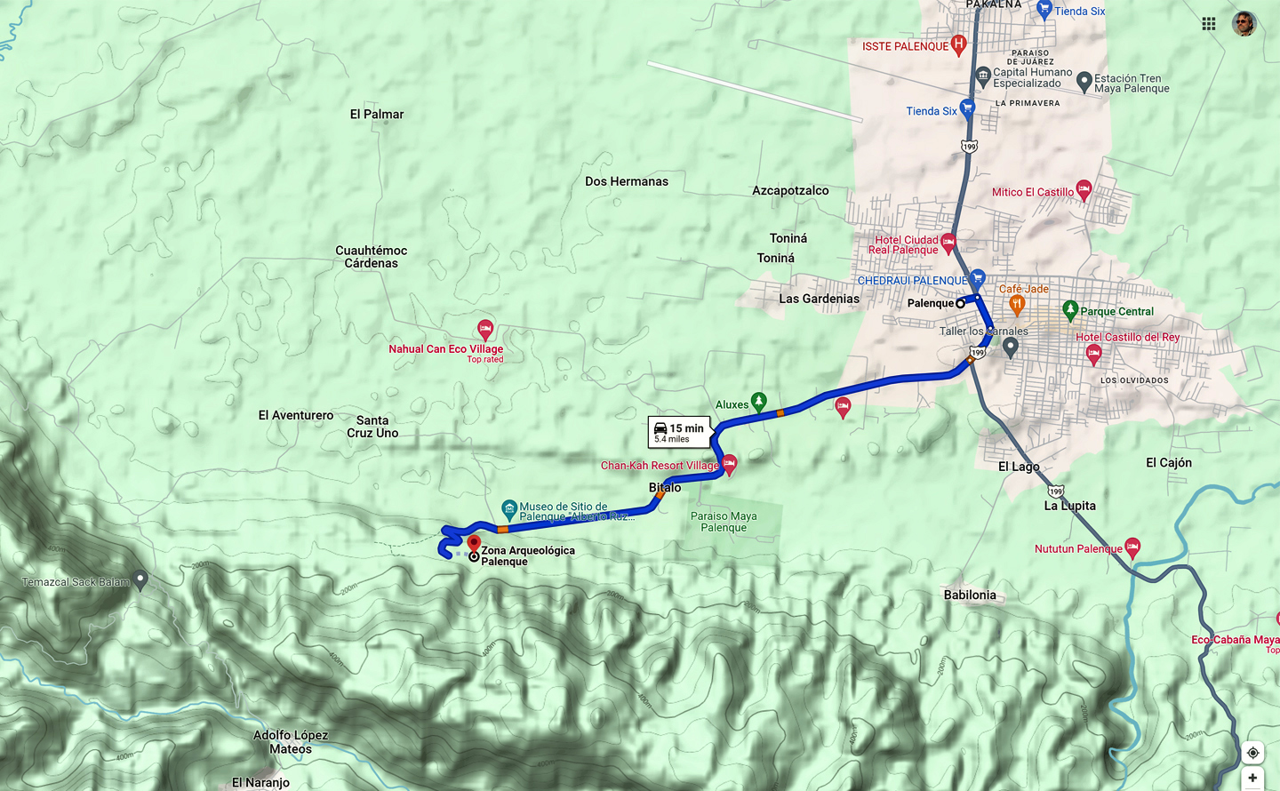
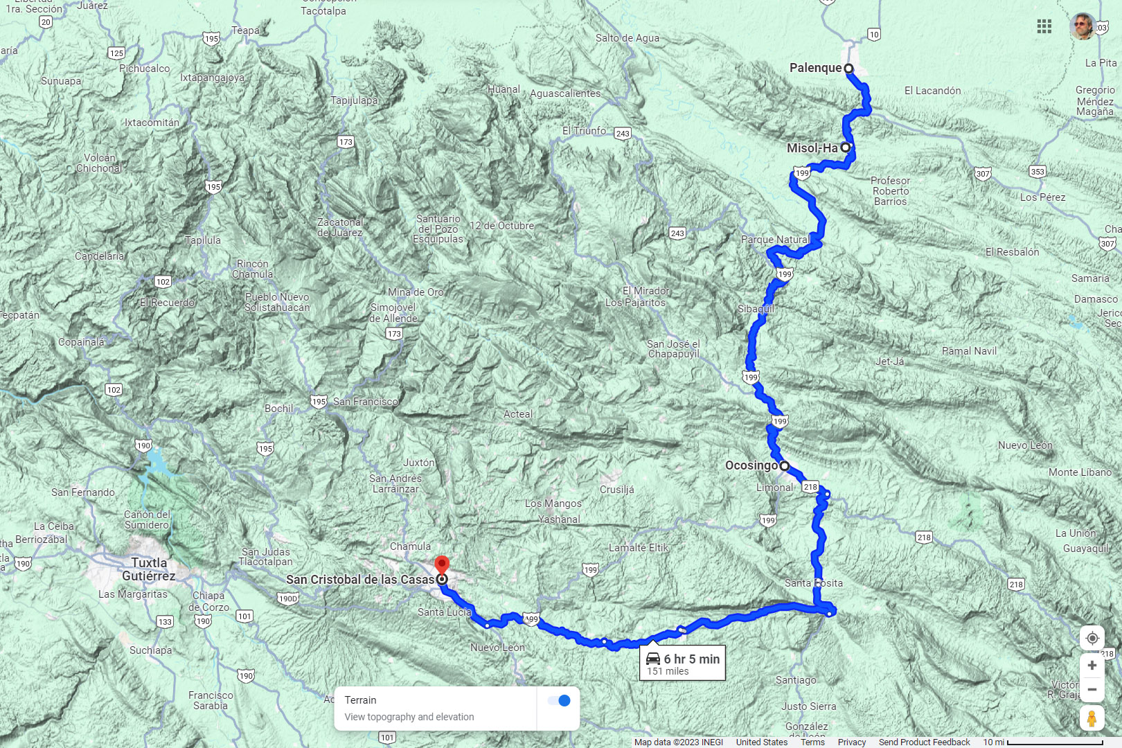
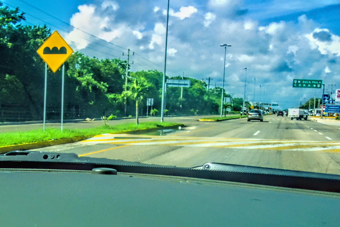
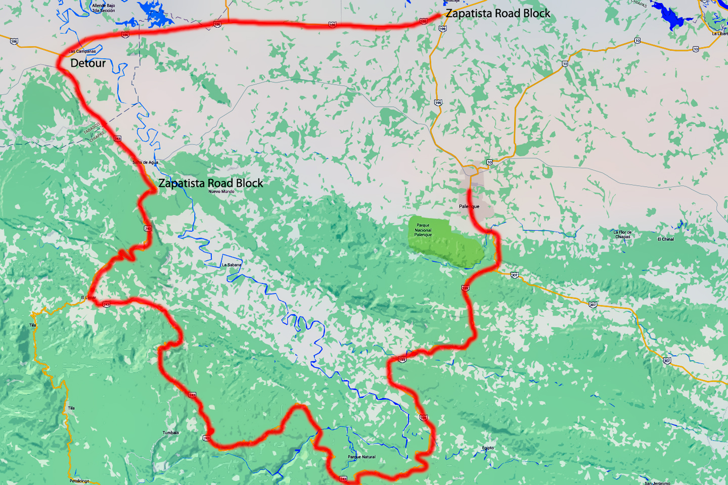
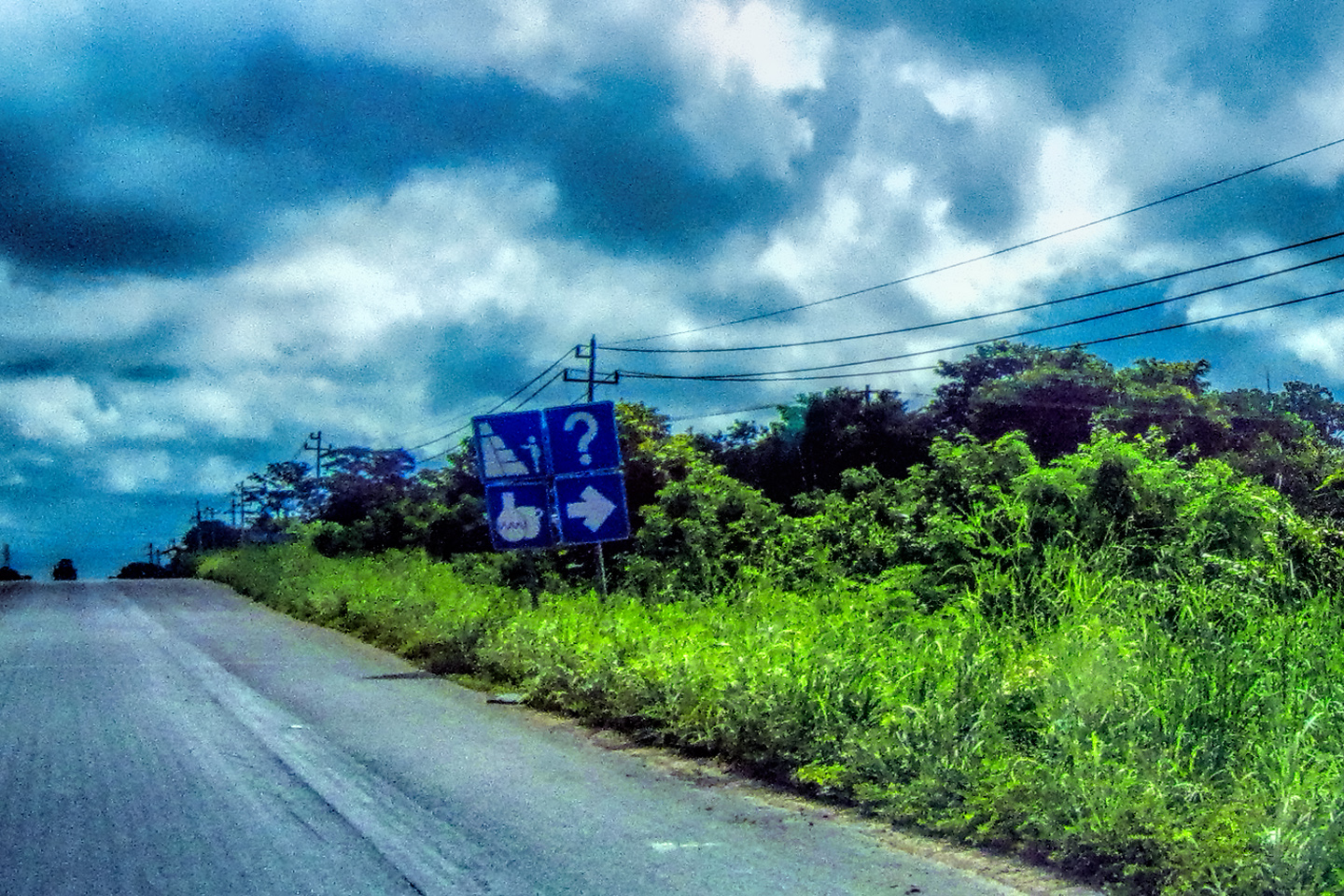
The drive from Villahermosa to Palenque shouldn’t have taken more than two hours, which would have put us there mid-morning. Thanks to the Zapatistas, we’d been forced into a detour that took us at least four extra hours, so it was already mid-afternoon! That left us just enough time for a brief visit to the archaeological park. First order of business was grabbing a hotel. (We did good! More on that below.) Then it was off to the ruins! There are small vans called combis that shuttle visitors from the town to the park for a reasonable fee, but we had my Jeep, so we simply drove ourselves.
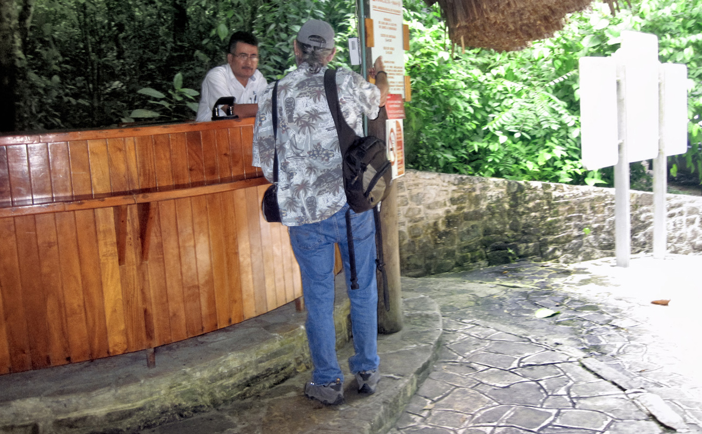
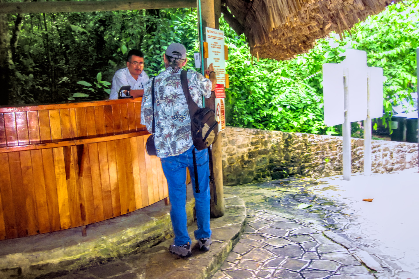
The road to the park is lined by jungle on both sides, and there are several resort hotels along the way; conveniently located, but a good bit more expensive than the lodging in town. We arrived at a ticket booth, where we paid two bucks apiece to enter the Palenque National Park; they made sure to warn us that this fee did NOT include entry to the ruins. We came to a secondary entrance to the grounds, across the road from a small museum. I attempted to buy our tickets, only to be told that they don’t sell them in that spot, that I needed to keep driving, on to the main entrance, a bit further up the road. While walking back to the Jeep, we were accosted by a half dozen guys, loudly offering their services as tour guides. They were overly aggressive, visibly angry with me when I turned them down, and when we got back in the Jeep and drove away, several of them actually chased us down the road, shouting at us to stop! I found out later that these weren’t authorized guides, they were local hustlers. If we had agreed to hire them, there was a good chance they would have taken our money and disappeared with it!
A word to the wise about tour guides: if you need a guide at Palenque, or at any of Mexico’s archaeological parks, it’s okay to hire someone on site, rather than through an agency, but you should always use the certified guides at the main entrance.
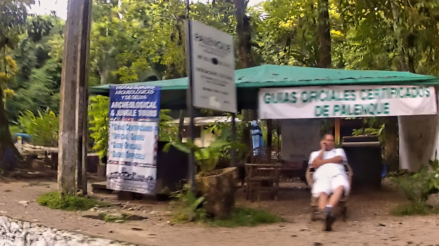

We came to a small parking lot with several empty spaces, but when I attempted to pull in, I was met by a local who made a great show of “guiding” me into the spot, using elaborate hand signals. He was in charge of this space, he informed us, and for a mere 100 Pesos, he would personally insure that our vehicle would be safe and secure for the duration of our visit. Did that mean it would NOT be safe if we declined to pay him? That was definitely the implication. Feeling a bit like I’d just been extorted, I handed over the 100 Pesos (a little over $5.00), then I made a great show of setting my extremely LOUD car alarm before we walked away toward the ticket booth. Entrance to the ruins was another $3.00 apiece, but even when you add all those charges together, I thought it quite reasonable. (Bordering on cheap!) If we had elected to hire a guide, it would have set us back an additional $60 for a two hour tour. That’s still cheap, in the larger scheme of things, but it was more than we wanted to pay, so we decided to skip it; I had a guide book that would tell us most of what we needed to know.
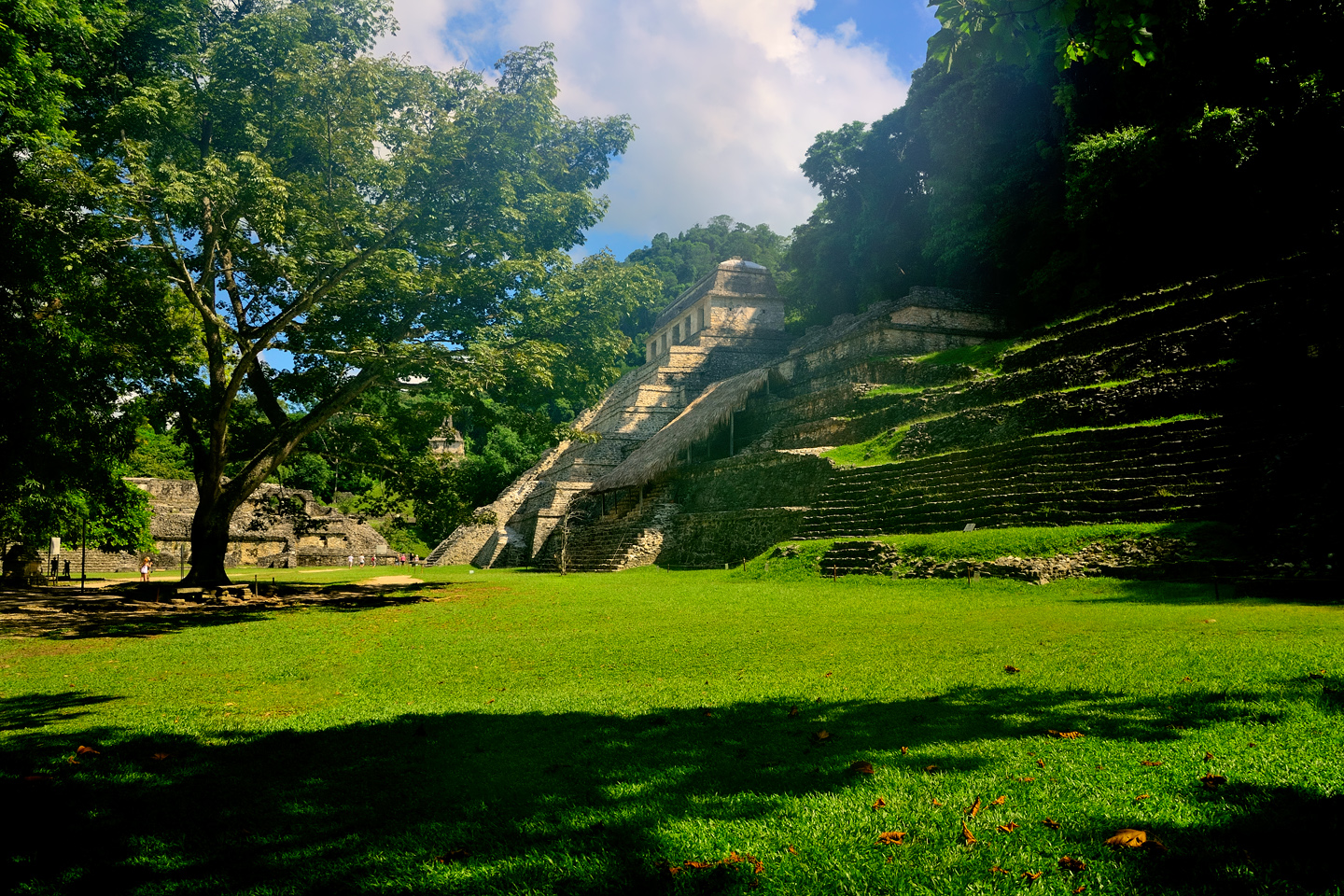
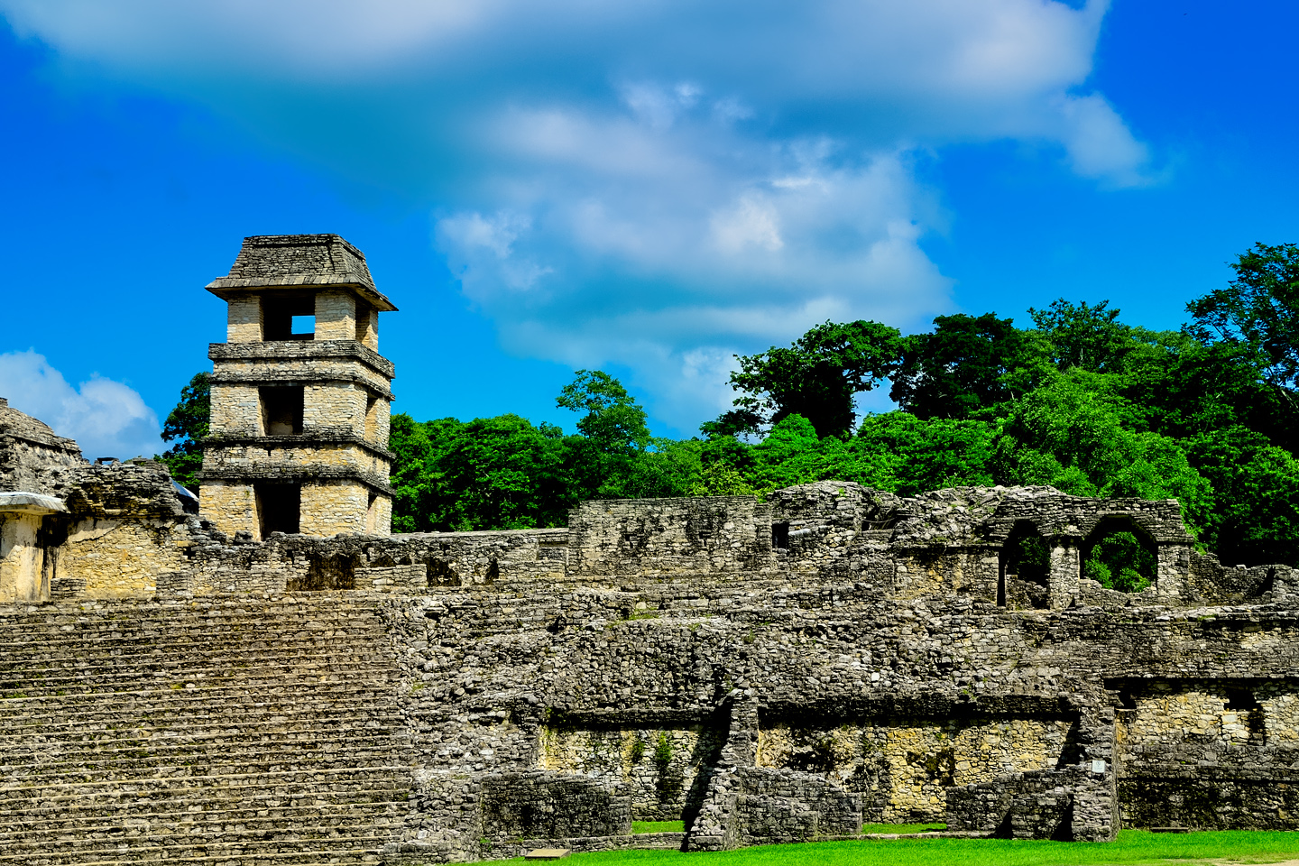
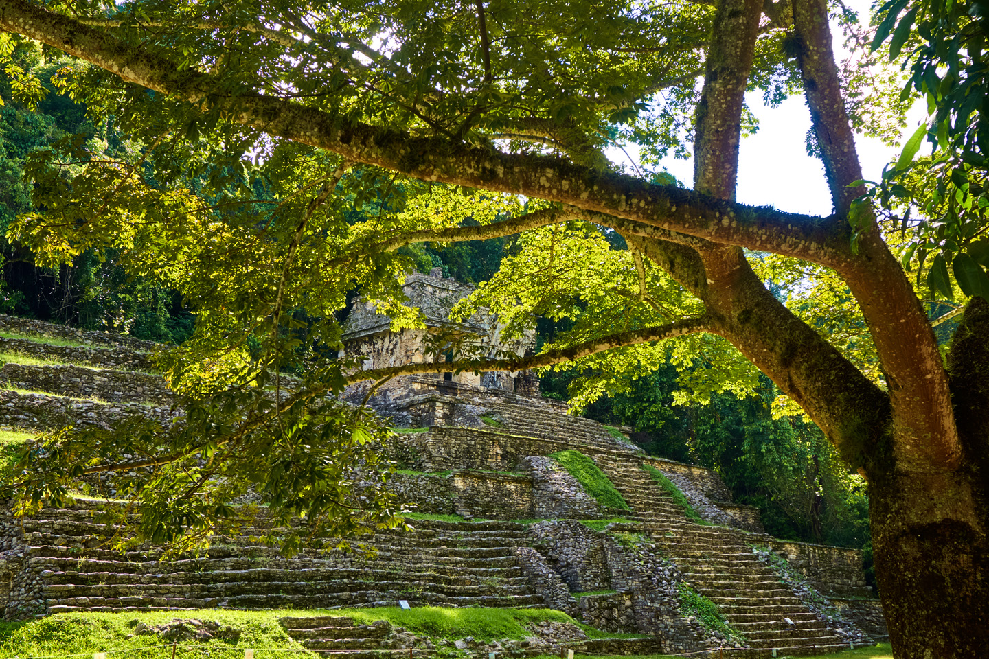
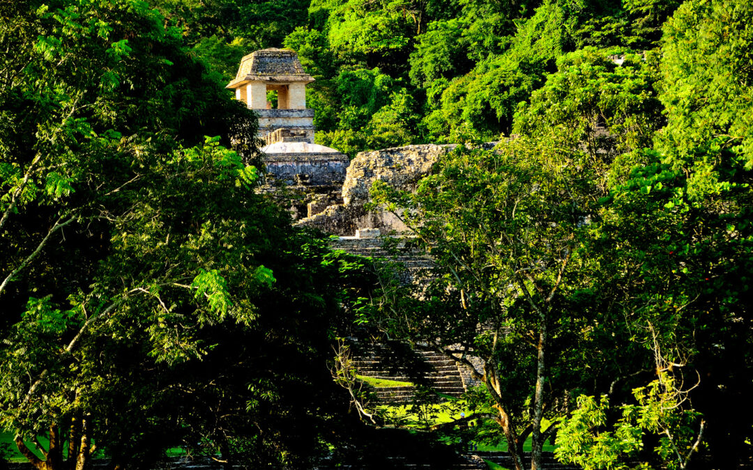
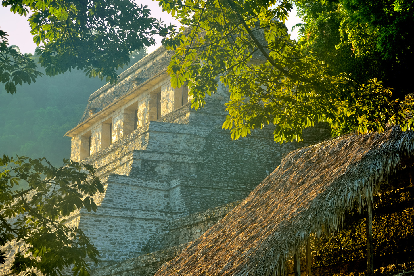
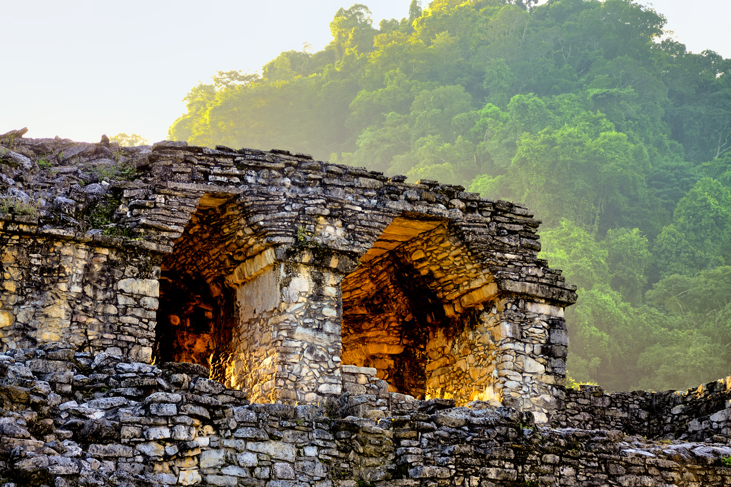
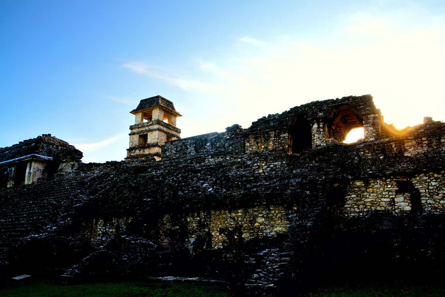
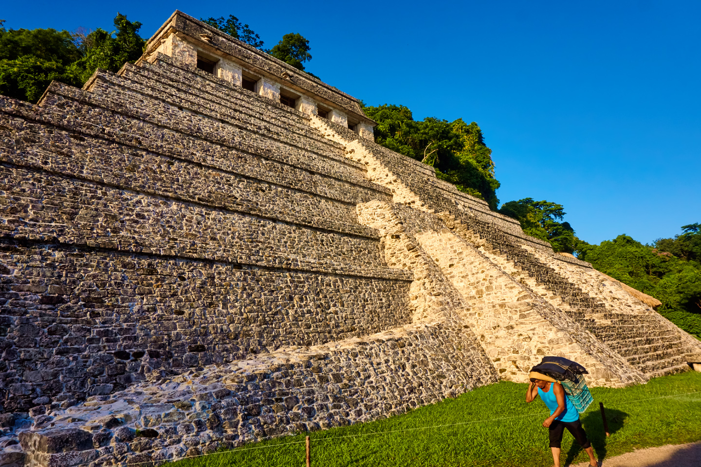
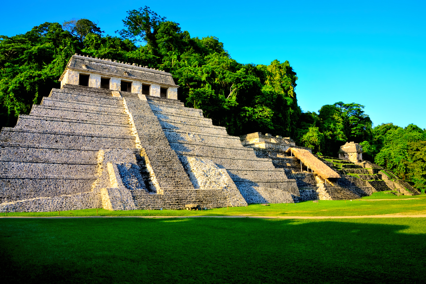
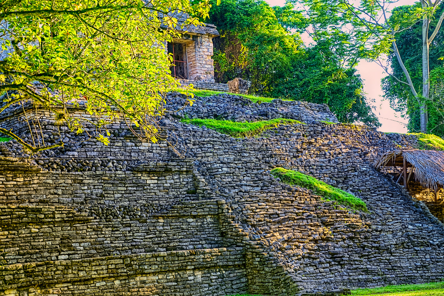
I’d studied my little book in advance, at least briefly, and I’d read quite a lot about Palenque, everything from illustrated articles in the National Geographic to my old college textbooks about the Maya, so I thought I knew what to expect. We walked up the entrance road, and when we caught our first view of Palenque’s main plaza, I stopped dead in my tracks, literally struck dumb by that view! As is so often the case with the world’s ancient wonders, no photograph can possibly prepare you for the extraordinary sight of the real thing, up close and in person. The most important buildings were right there, three pyramids lined up in a row, plus the huge Grand Palace with its four story tower, and so much more! There were crumbling temples crowning the hills in every direction, and the jungle crowded in close on all sides, threatening to swallow it all. Mayan ruins in the jungle–it was utterly fantastic! The only thing missing was Indiana Jones in his fedora!
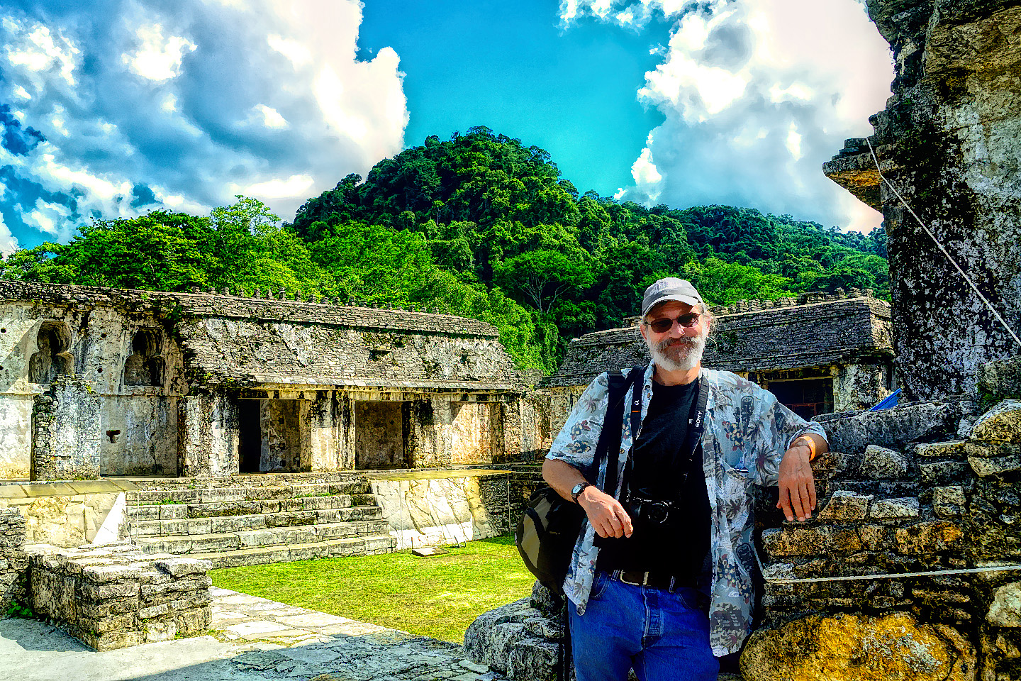
We spent a quite wonderful afternoon exploring the ruins. There were very few other visitors, because the Zapatistas and their road blocks had prevented all the normal traffic from getting through to the town. (If you’re wondering how Mike and I got around those guys, when everybody else got turned back, check out my previous post: Zapatista Road Blocks in Chiapas). We took full advantage of the minimal crowd, and I got some great photographs. At the busier Mayan sites, they no longer allow visitors to climb on the pyramids, and the buildings are surrounded by barrier ropes, to prevent you from getting too close. In 2015, when our visit took place, that hadn’t happened yet at Palenque. Some stuff was off limits, but we got to climb around on many of the buildings, up the steps, through the courtyards, so we really got to feel the place, the sights and sounds, the musty smells, the rough texture of the stone. I tried to imagine what it must have been like when it was a living city, the buildings stuccoed and painted in bright colors, murals and frescos on the interior walls, and people everywhere, including the priests and royals in their colorful finery. It must have really been something to see!
The park closed promptly at 5:00 PM, and they did a good job of herding everyone out before they locked the gates. Our hotel was just minutes away, so we headed back there to relax and regroup.
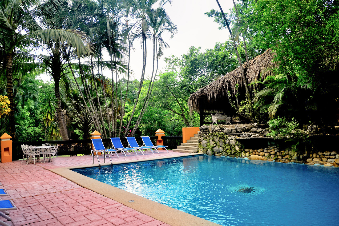
Comfort Inn Palenque/Hotel Maya Tucan
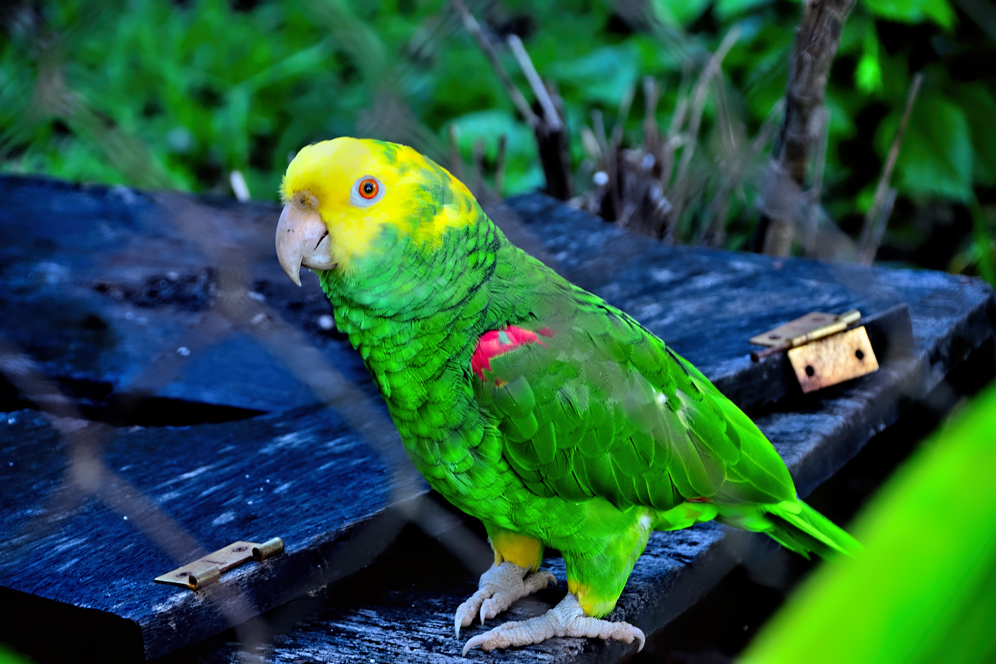
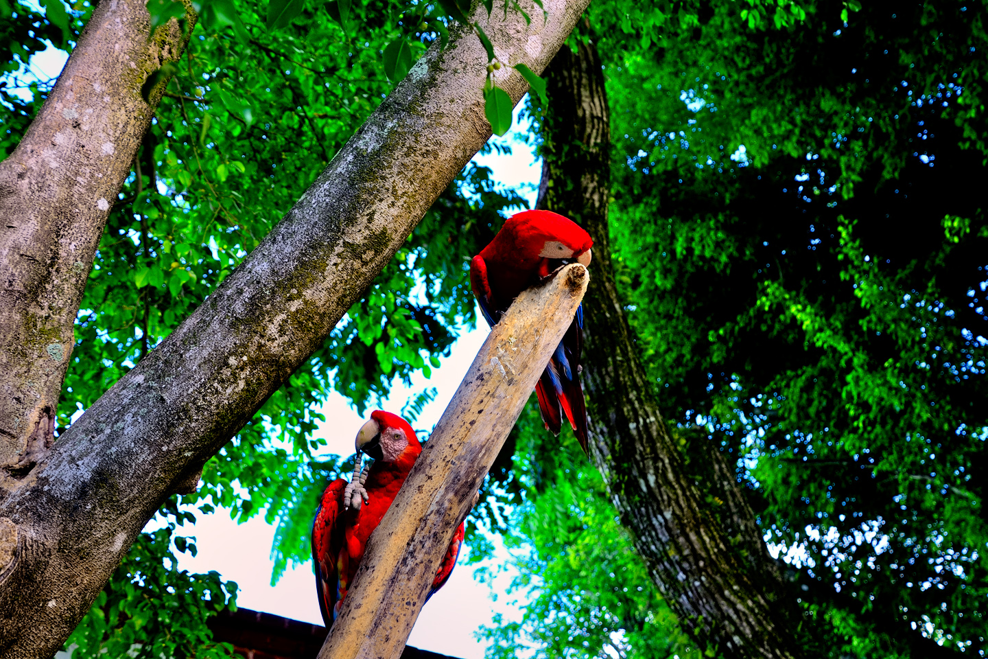
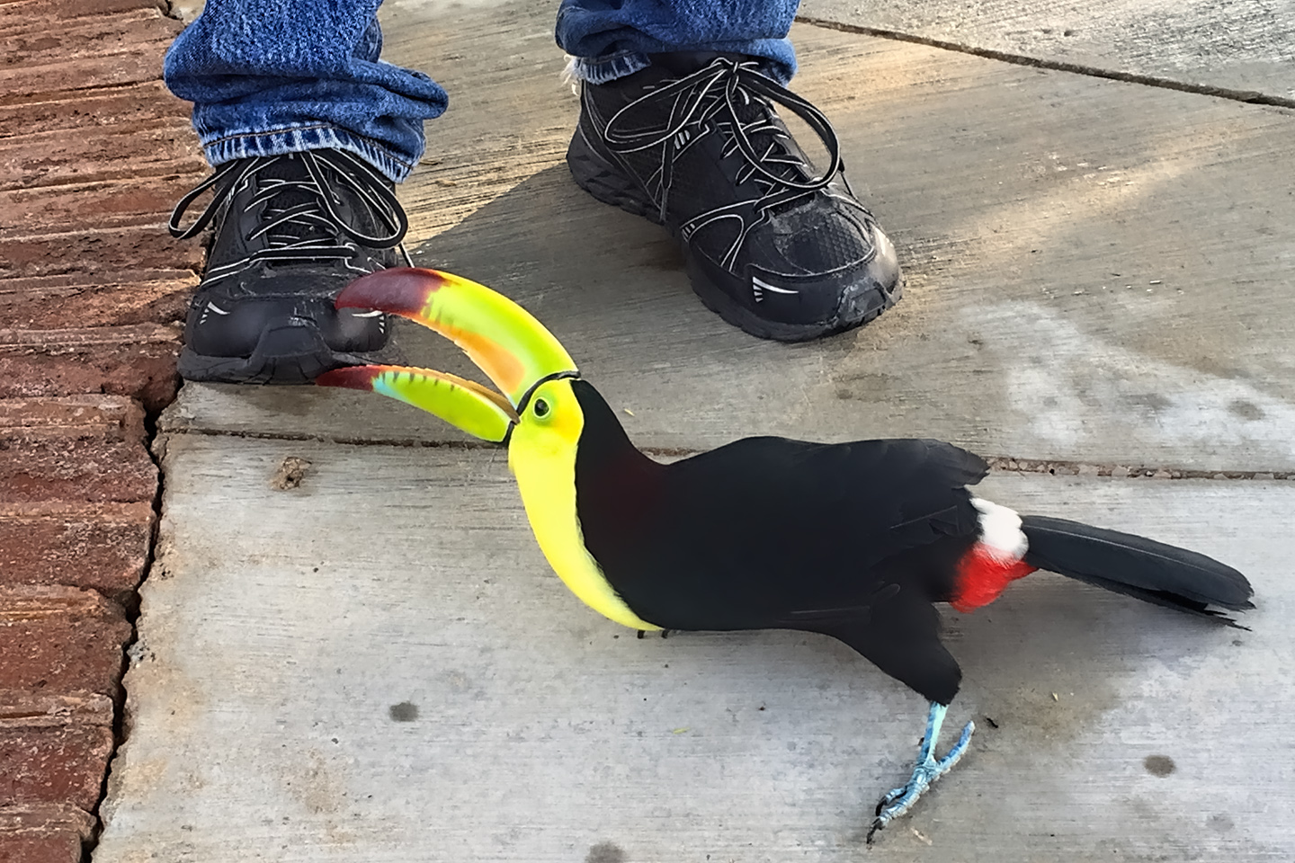
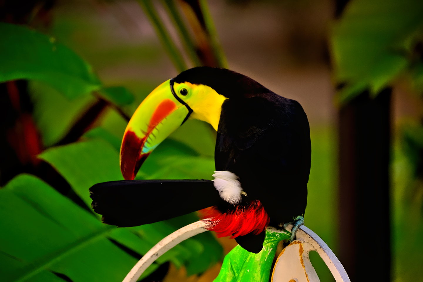
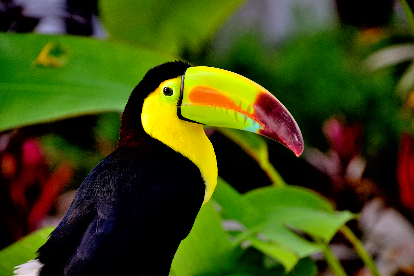
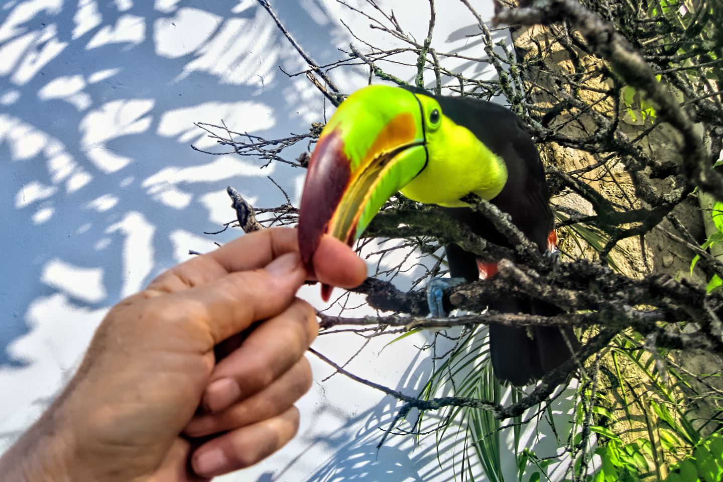
We’d vowed to avoid staying in boring American chain hotels, but we made an exception for the Comfort Inn in Palenque. One look at the pool and gardens and we knew, absolutely, that we were not in Kansas anymore, (or California, or anywhere else north of the border). The tropical foliage was one clue, but the real kicker was the tropical birds: parrots, scarlet macaws, and an extremely comical pair of toucans that chased Mike around the pool deck, trying to bite his shoes. We were there two nights, and I can definitely recommend it. (The property changed names since we were there, and is now called the Hotel Maya Tucan.)
Day 5: Palenque in the Morning Light
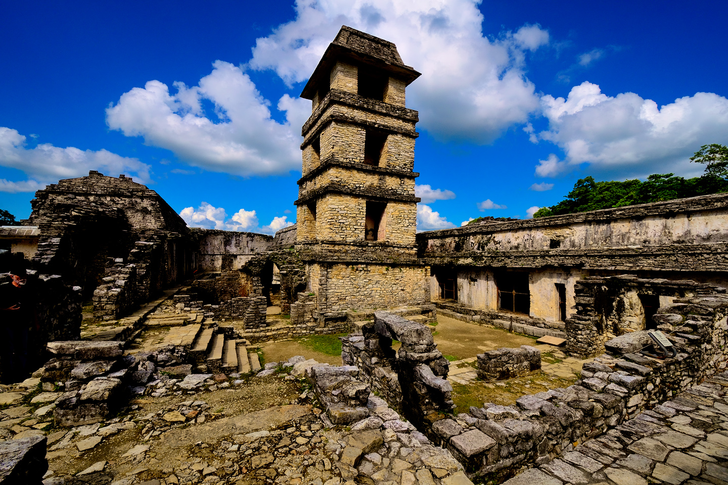
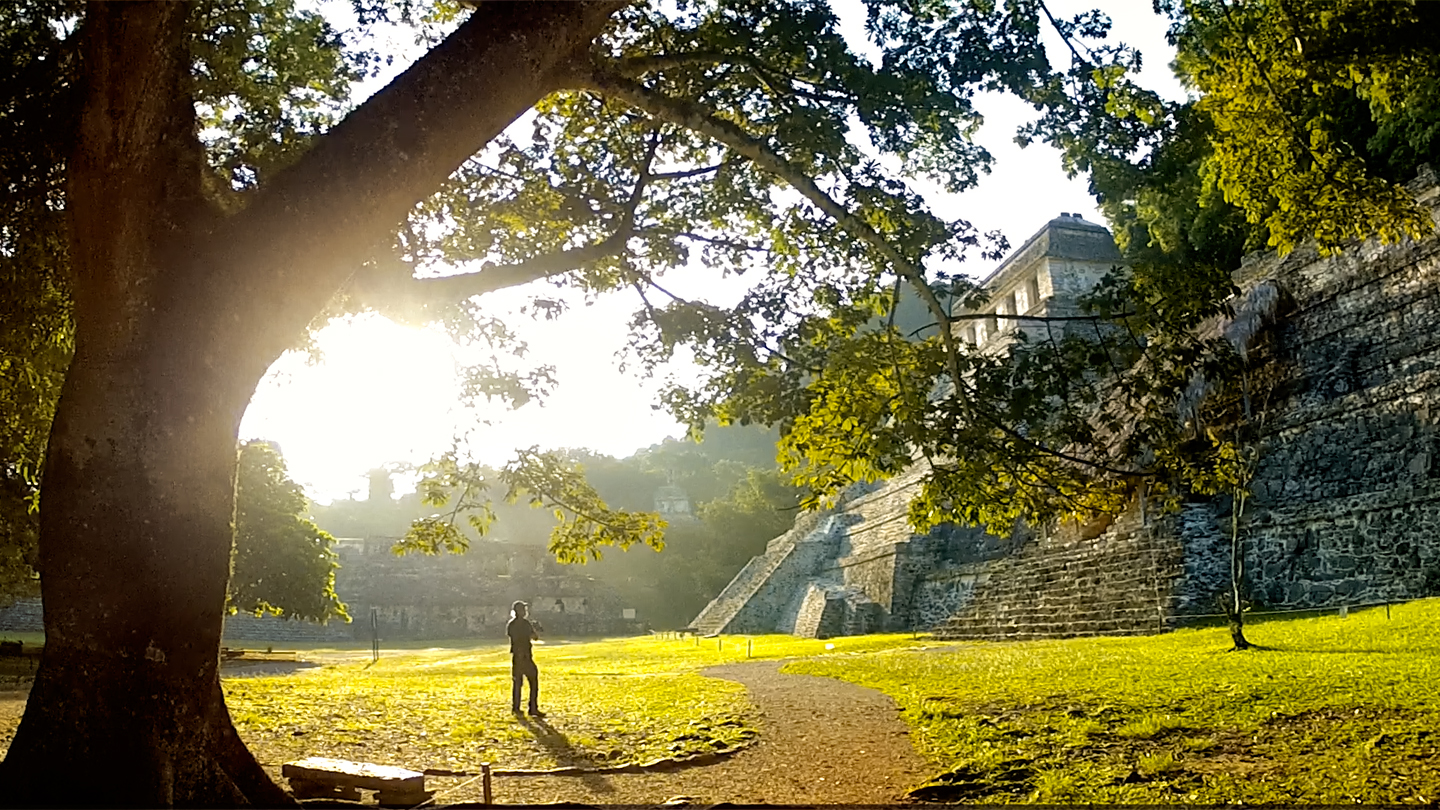
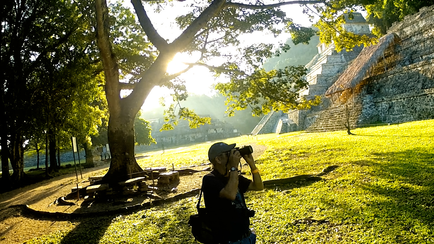
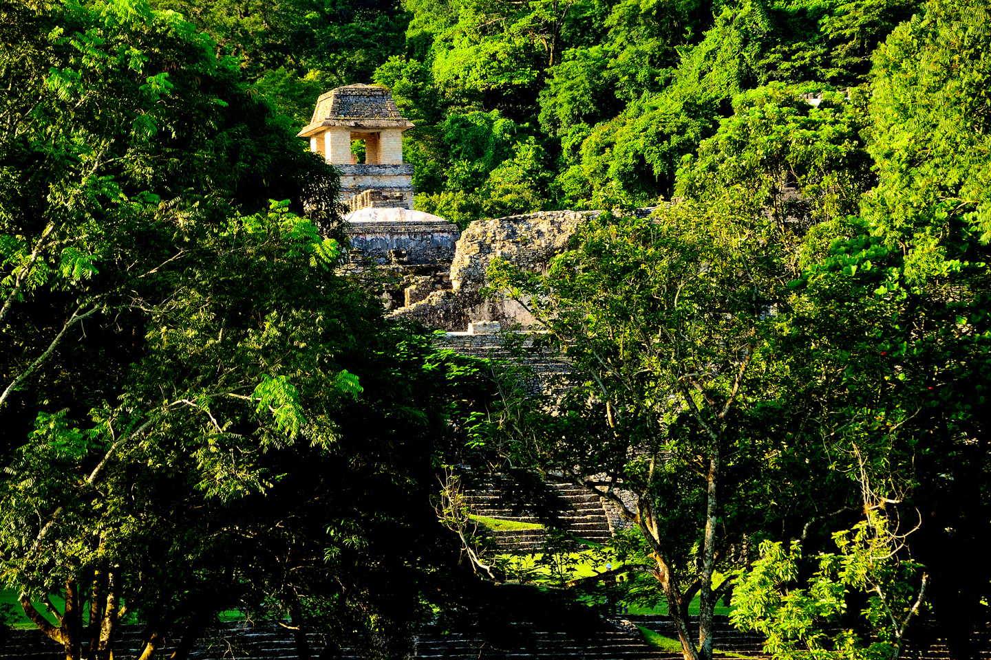
The next morning, Day 5 of our Road Trip, we were waiting at the entrance to the Archaeological Park a half hour before they opened for the day. We were the only ones there, so they let us through early, and I had the glorious privelege of photographing that wonderful ruin in the golden light of early morning, without a single fellow tourist cluttering my view. We hadn’t really intended to spread our visit across two different days, but I had no regrets. It all worked out quite well!
Palenque, when it first opens for the day, provides a rare opportunity for uncluttered photos:
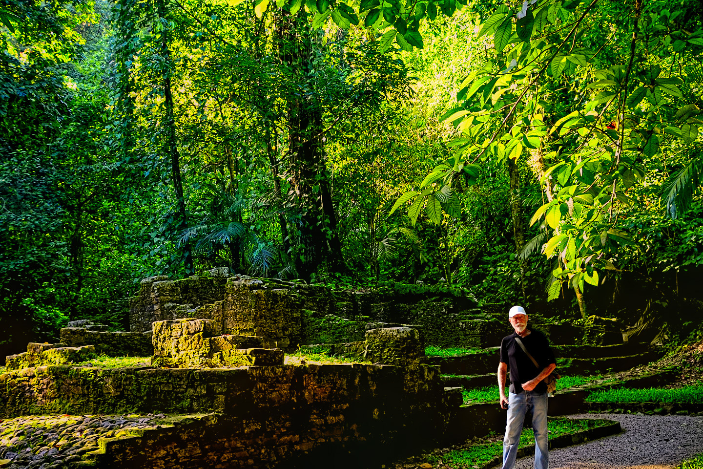
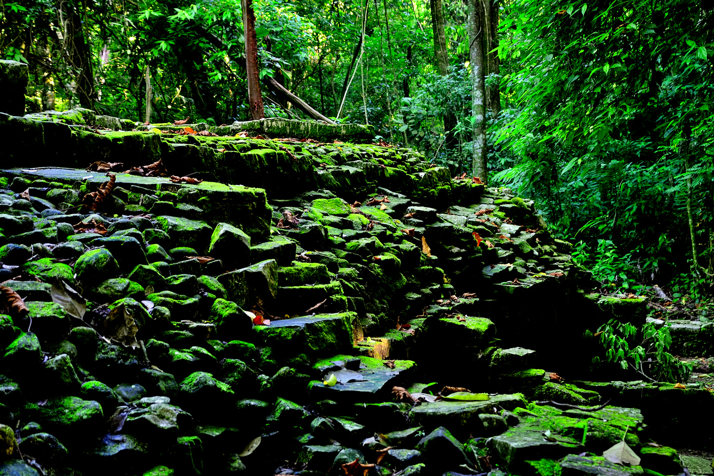
Our first visit to the park, the previous day, was unfortunately rushed, because we got such a late start. We’d checked out what’s known as the North Group, a set of smaller temples located apart from the grand structures on the main plaza, but we’d postponed the path that led down the mountain from there, into the area called the Arroyo Otulum, the lower section of the ruins. A stone staircase led the way into a steep sided gorge filled with jungle growth, and mossy, overgrown ruins. This was a for real rain forest, perpetually damp, humid, all but stifling within the confines of the ravine. It had been decades since I’d hiked in a jungle. This place brought back quite the mixed bag of memories!
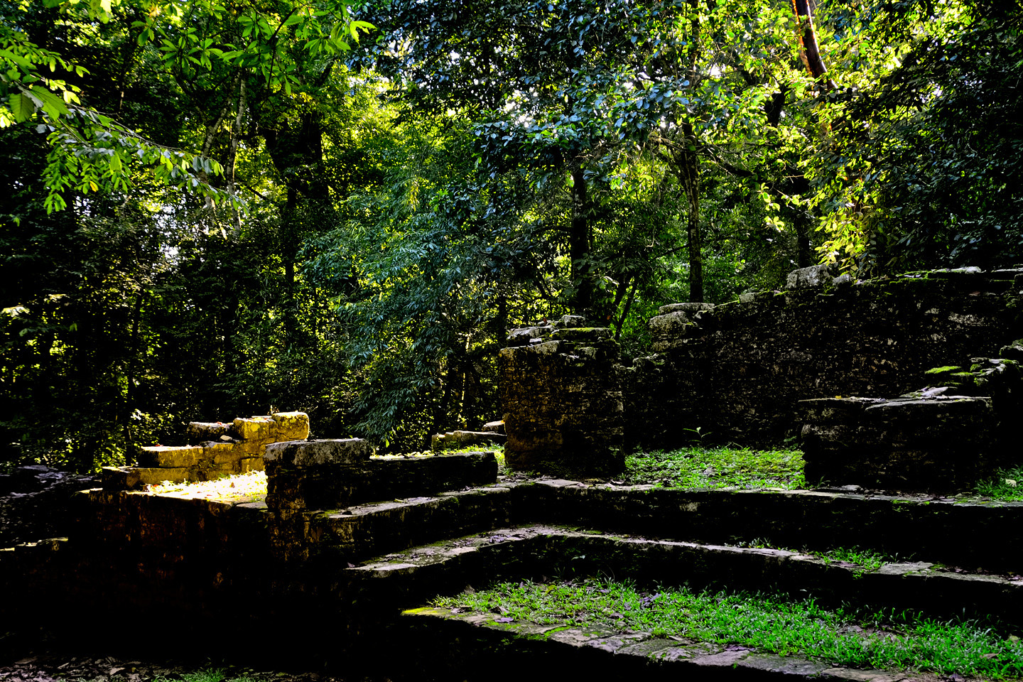
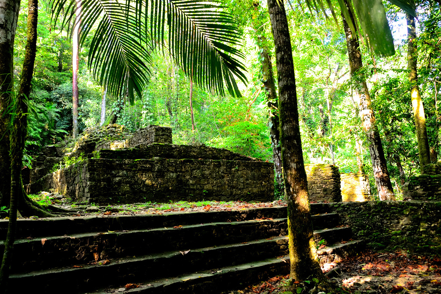
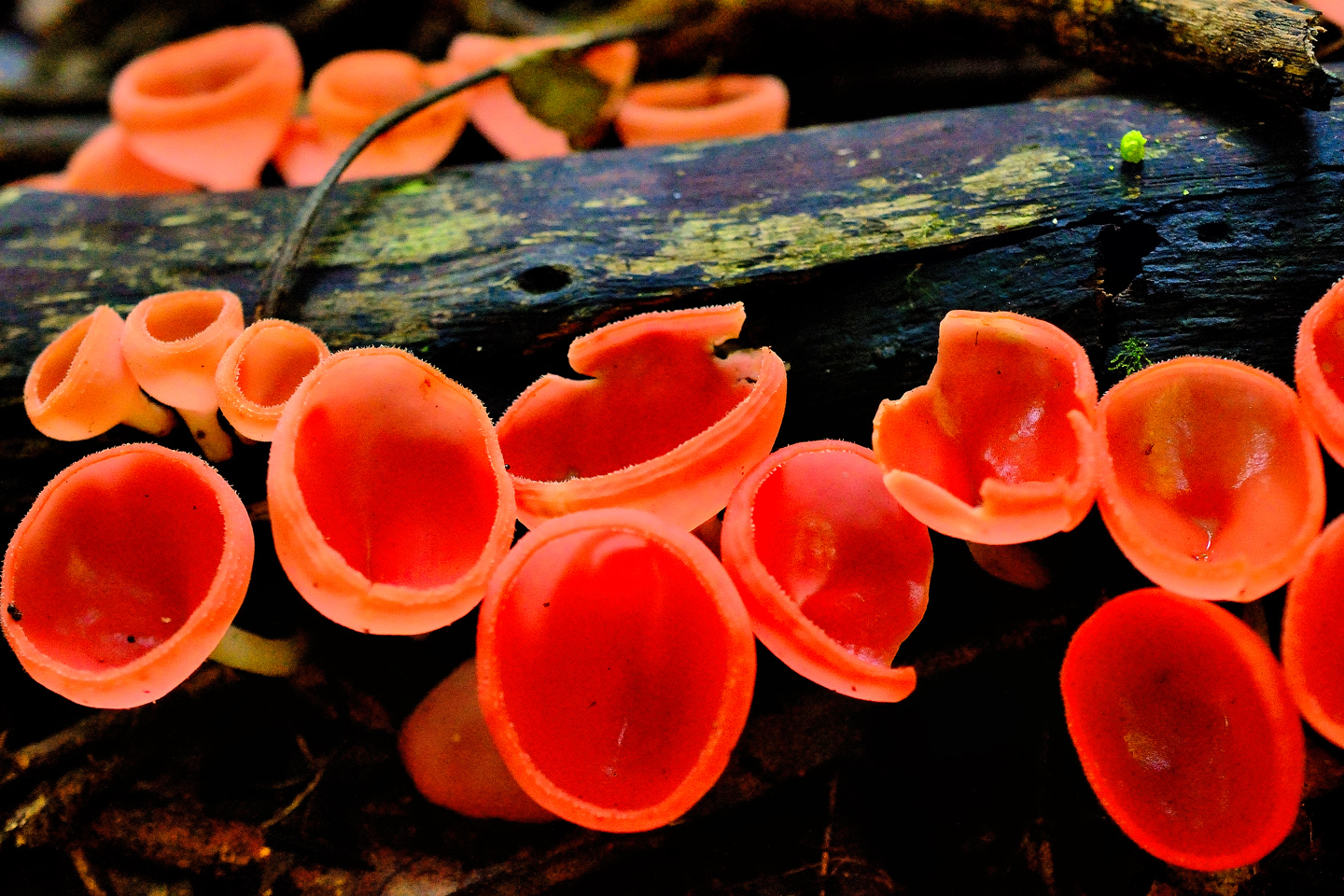
Ruins in the Arroyo Otulum, green with moss. The unusual orange fungi was found sprouting from a fallen log.

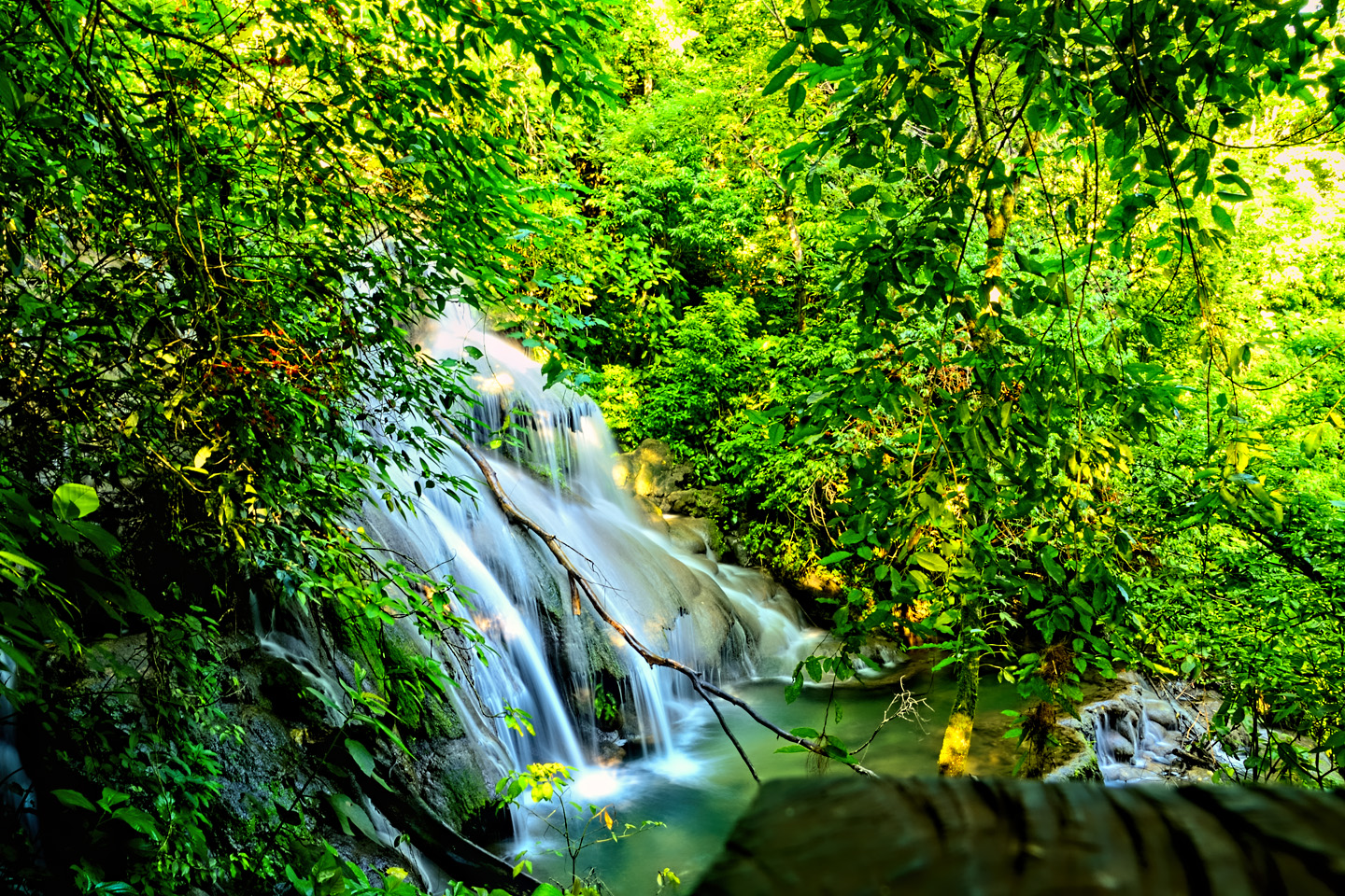
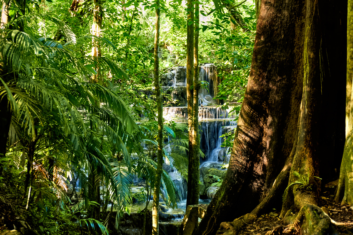
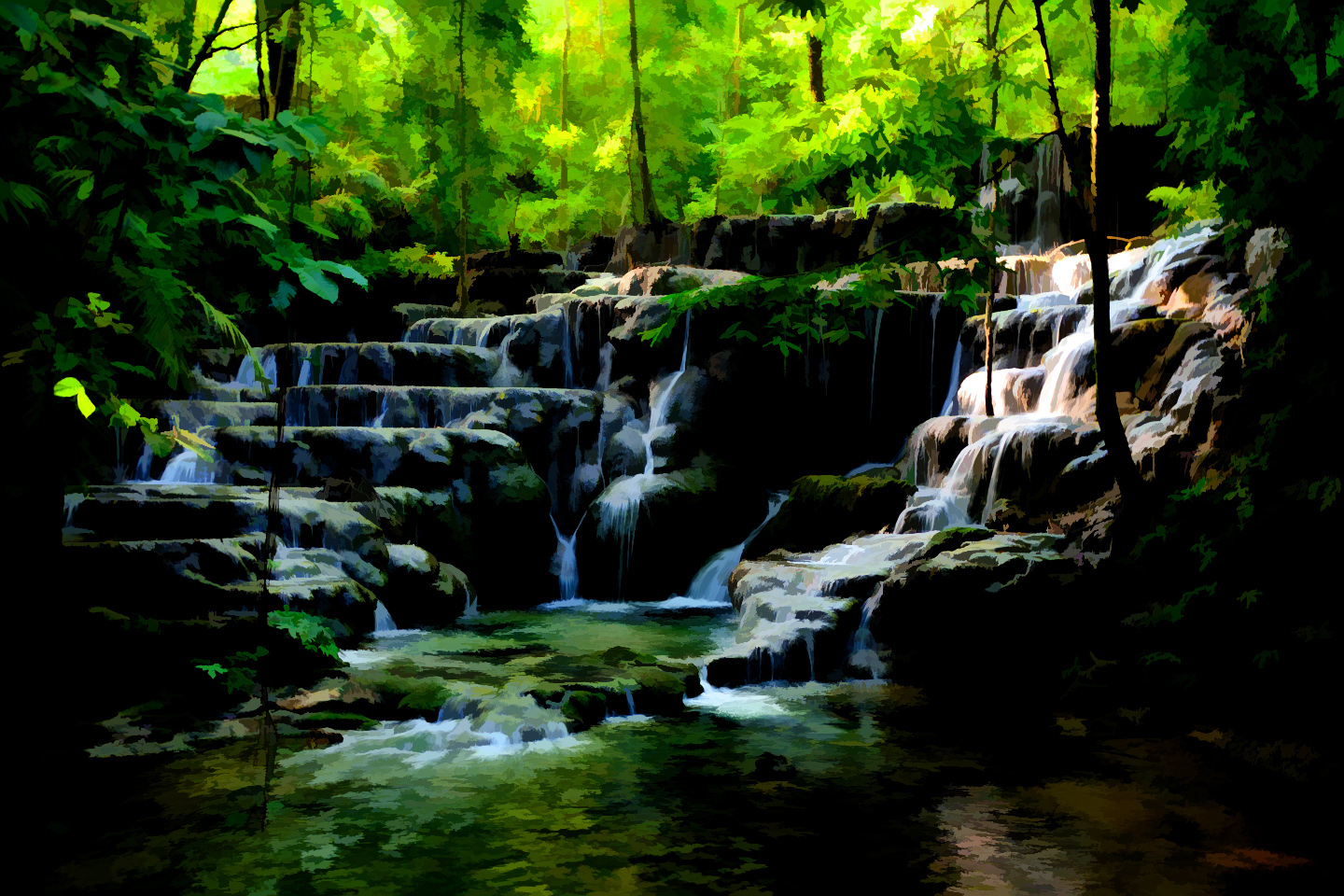
WATERFALLS AMONG THE RUINS
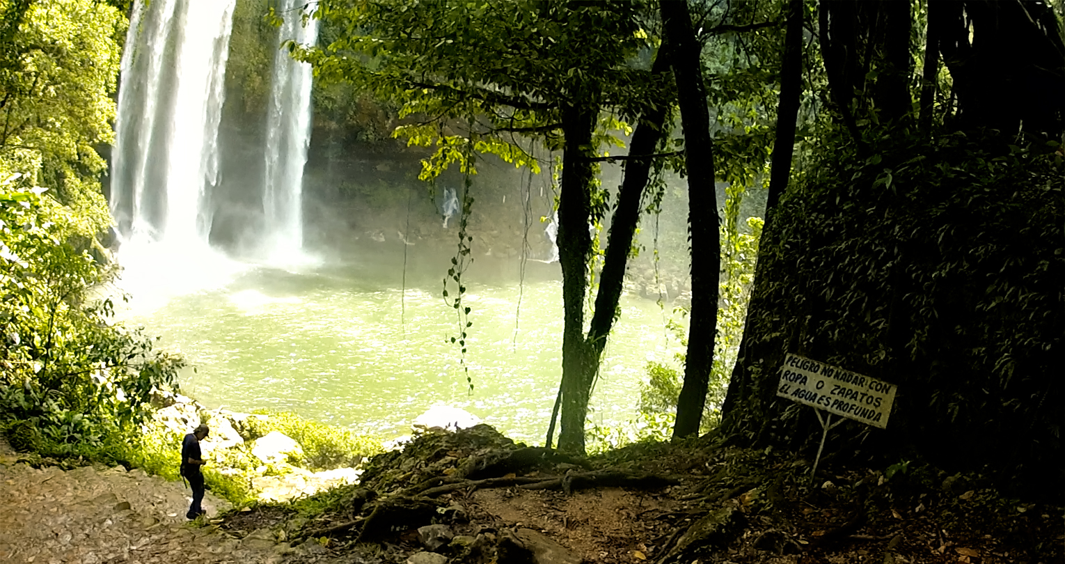
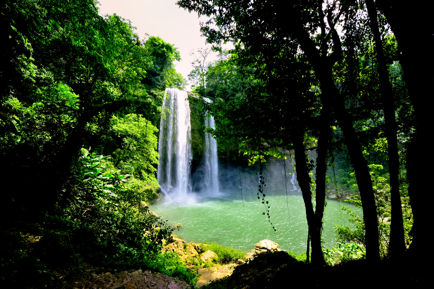
There were several beautiful waterfalls in the Arroyo Otulum, including a wide, multi-tiered cascade known as the Baño de la Reina, the Queen’s Bath. Was it actually used for that purpose by Palenque’s nobility? I’m not sure if that’s ever been established as fact, but it paints a lovely picture. The Maya loved water, especially flowing water, and Palenque, in it’s heyday, featured aqueducts, pools, and streams that ran through channels. There was even a flowing stream beneath the palace, engineered to sweep clean the toilets!
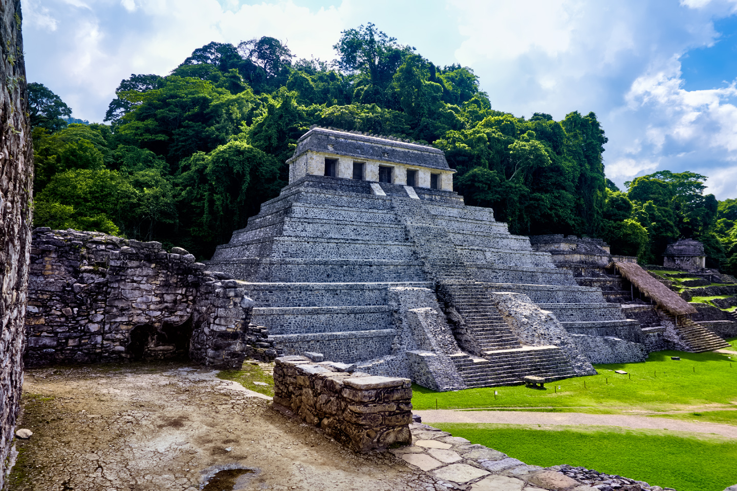
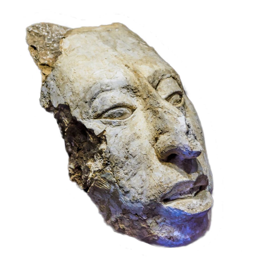
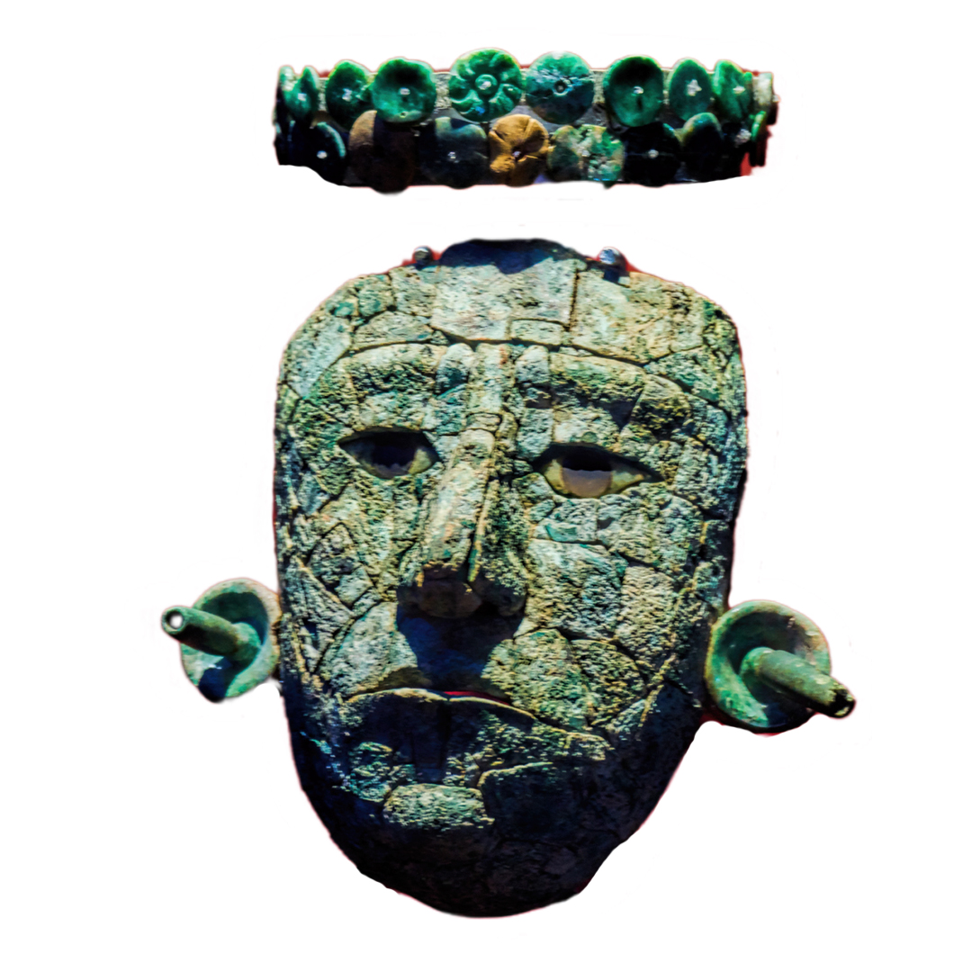
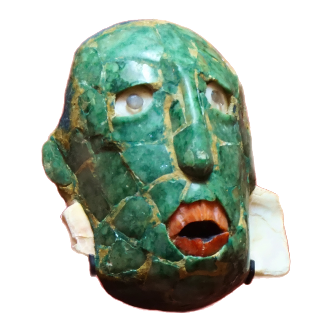
At the bottom of the hill, we emerged back out onto the road, right by that secondary entrance where we’d stopped the day before. I was afraid we’d run into the phony tour guides again, but they didn’t seem to be around this early in the day. We checked out the small museum, which had some very interesting exhibits of precious objects that had been recovered from the ruins, including jade funerary masks and molded stucco heads. The artistry is extraordinary, adding a human dimension to this ancient city in the jungle. Glyphs on these objects, as well as surviving examples carved into the stucco on the inside walls of the temples tell the story of the great king Pakal and his sons, the dynasty that ruled Palenque at the height of its power. The largest pyramid at the site, the Temple of the Inscriptions, was Pakal’s final resting place, a massive mausoleum with a hidden burial chamber, in the manner of the Egyptian pharoahs. After leaving the museum, we had to trudge back up the hill to the main section of ruins, and in that climate, it was no easy task!
By the time we finished touring the ruins a second time, I felt we’d done justice to Palenque, and I was ready to try something different. We’d been told about a particularly beautiful spot that was a short drive up the highway, so we decided to head out that way, and see for ourselves.
That’s how we came to visit:
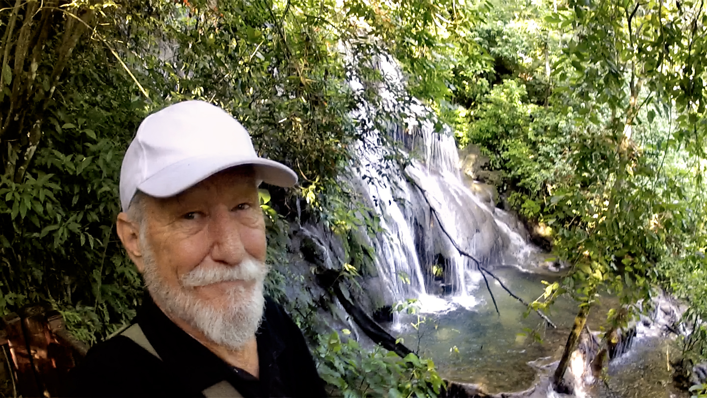
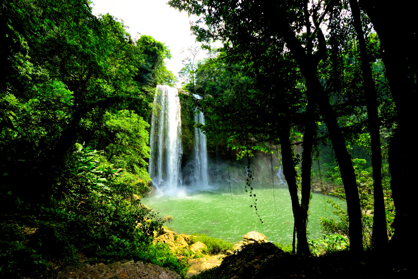
MISOL-HA: A WATERFALL IN THE LACANDON JUNGLE
About 12.5 miles west of Palenque, a short detour off the main highway takes you to a parking area and a path that goes downward. There’s a pervasive roar and a fine mist in the air from the elephant in the room, the cascade known as Misol Há, a beautiful waterfall that drops more than a hundred feet straight down into a circular pool of clear, blue water. The path leads to a viewing area at the base of the falls, and goes on from there to a slippery ledge carved into the rock behind the thundering cascade. If you don’t mind getting wet, you can get VERY close to this waterfall, and if you feel like a swim, the path continues all the way to the edge of the lagoon. This is a truly magnificent spot. The only other people we saw left just as we arrived, so for most of the time Mike and I were there, we had it all to ourselves!
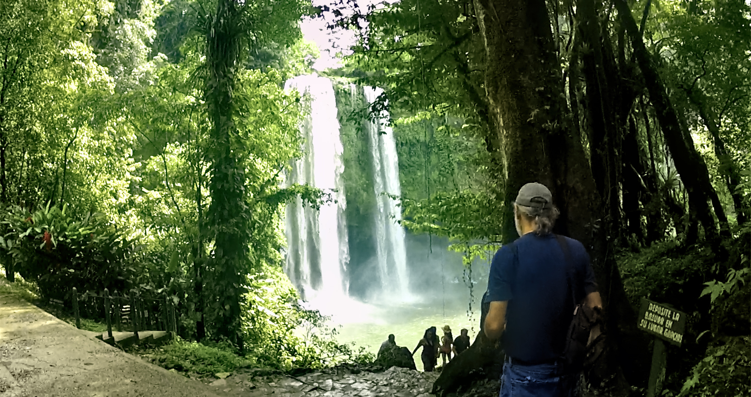
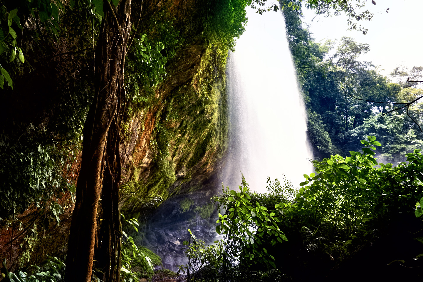
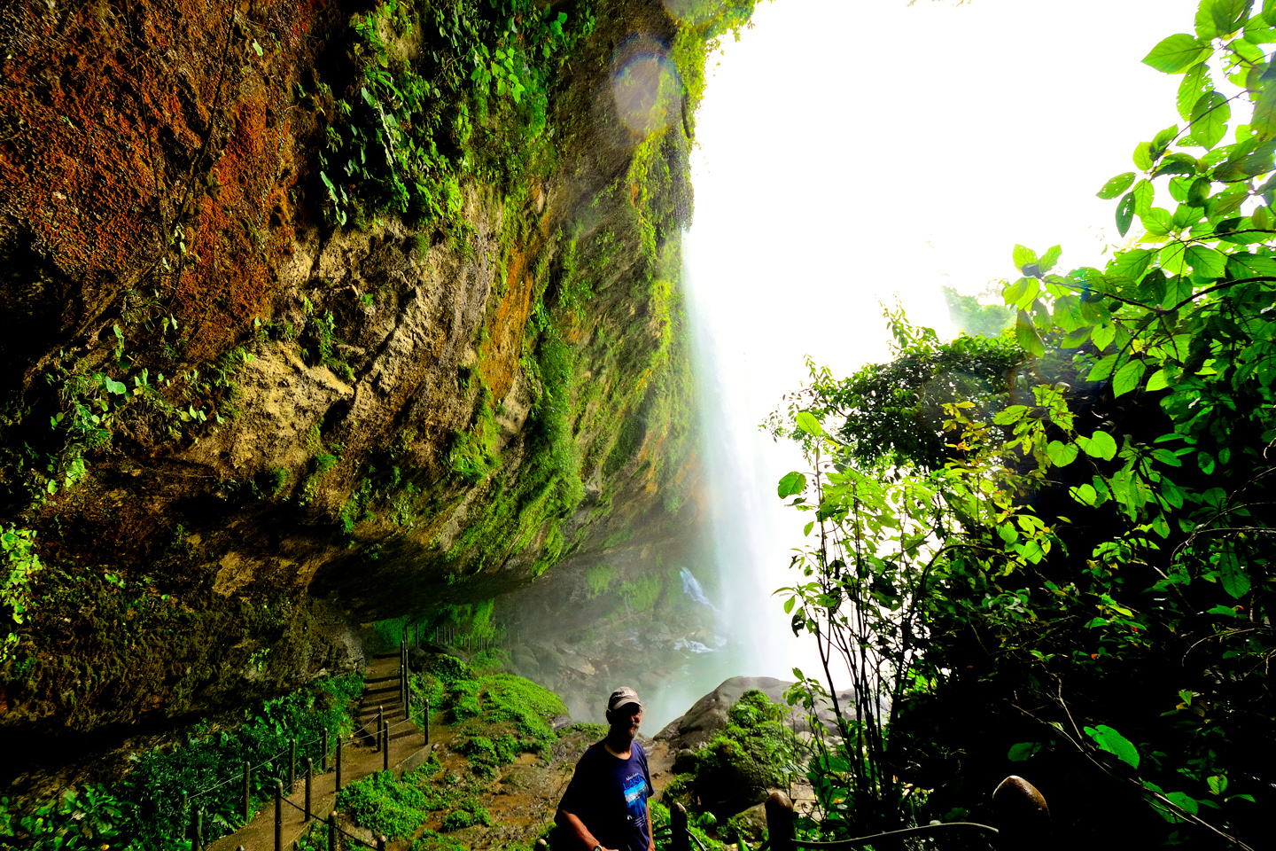
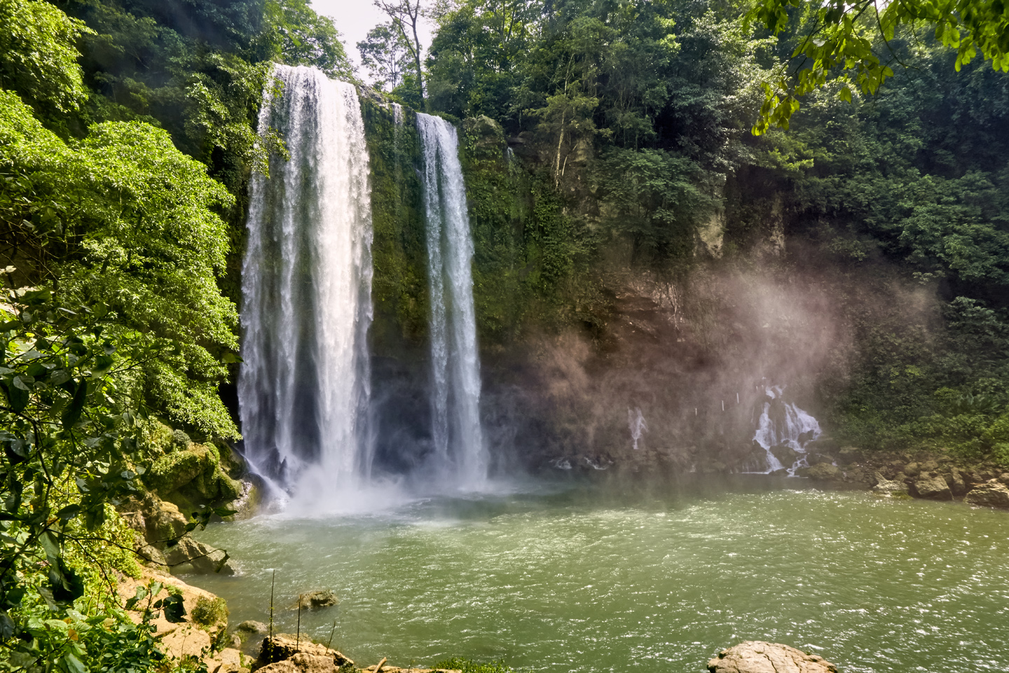
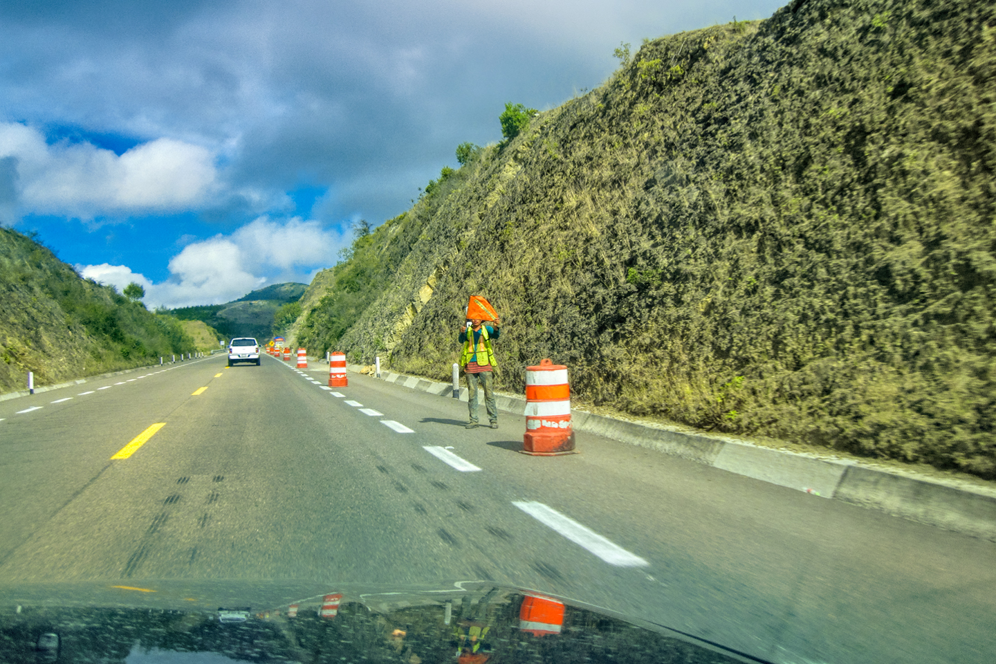
Misol Há, a 100 foot waterfall in the Lacandon Jungle of Chiapas
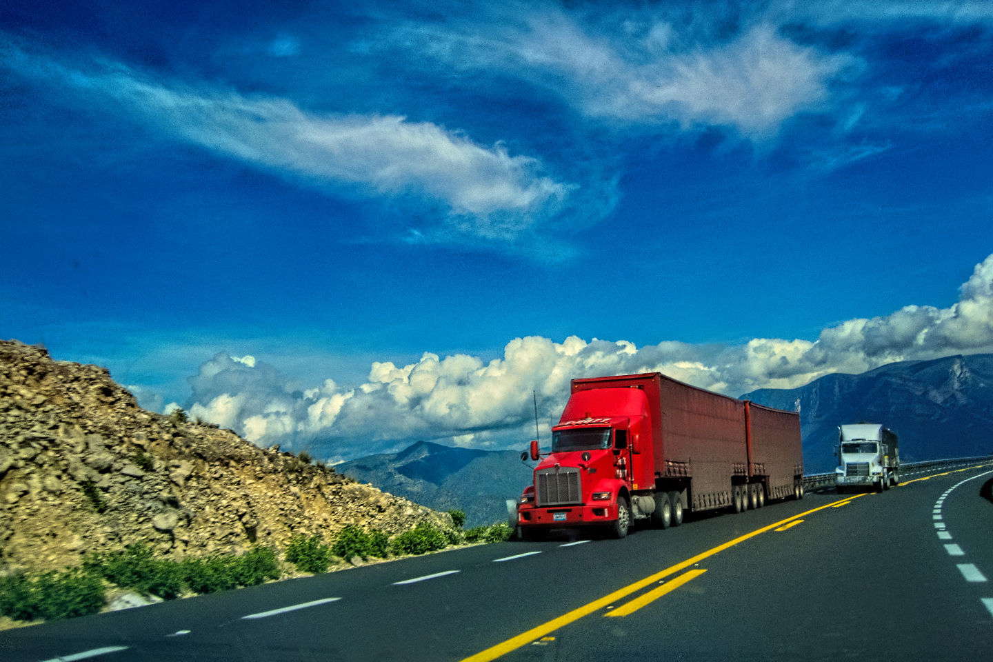
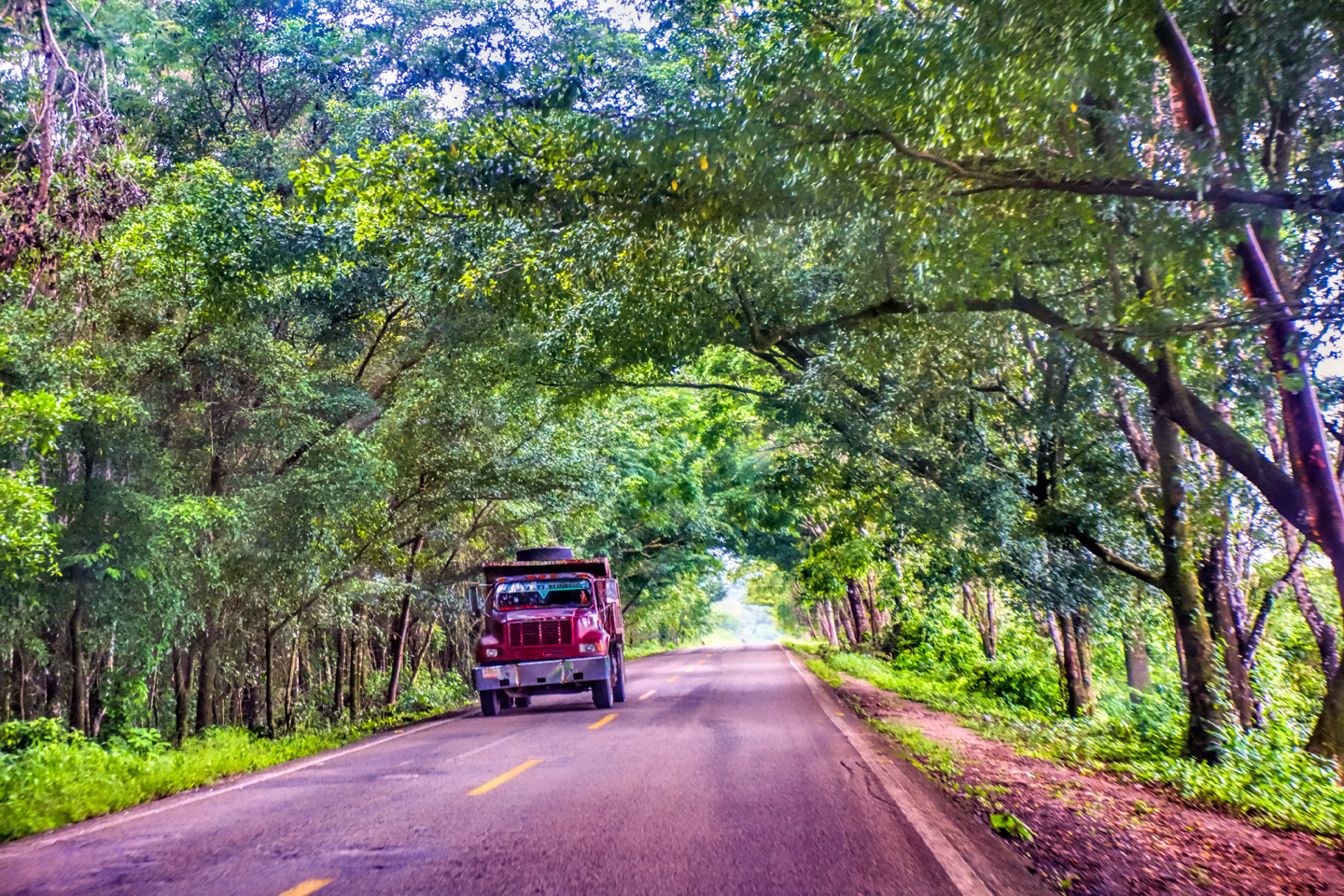
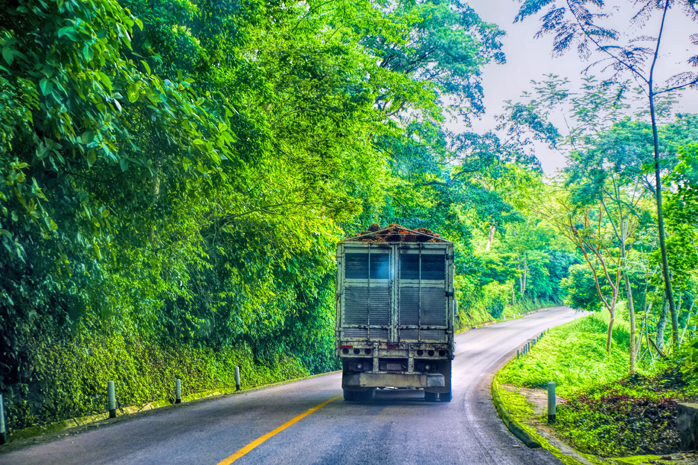
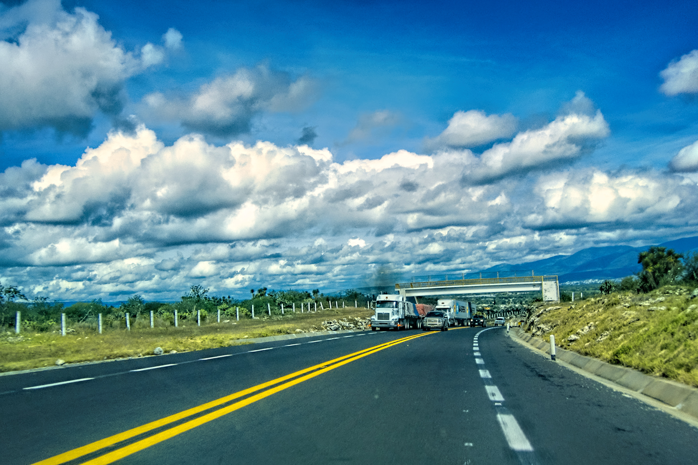
We finished up at the waterfall just after lunch, still early in the day. I wanted to drive to San Cristobal de Las Casas at some point in our trip, and I saw on my map that it was less than 150 miles away. I figured we could get there easily in an afternoon, so we started out. MX 199 turned out to be one of the slowest roads in existence, curvy, mountainous, narrow, packed with slow, overloaded trucks and buses, and no passing lanes. I’m sure we would have made it eventually, but the Zapatistas simply weren’t cooperating. They’d thrown up another of their road blocks in Chilon, maybe forty miles from Palenque, and they were turning back all traffic headed any further south. We ended up driving all the way back to Palenque, where we spent a second night with the toucans at the Comfort Inn.
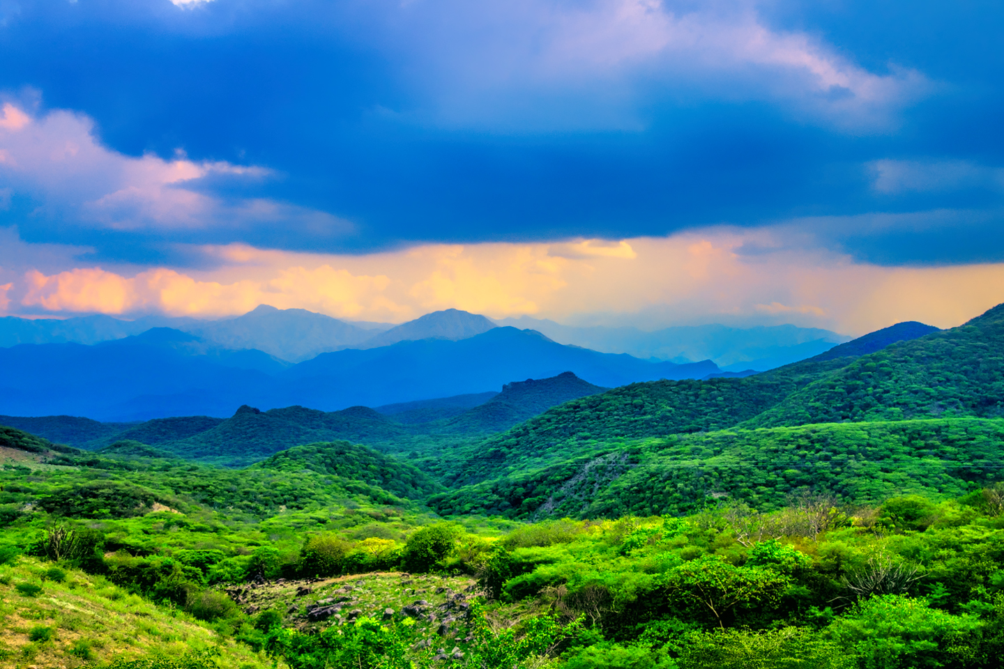
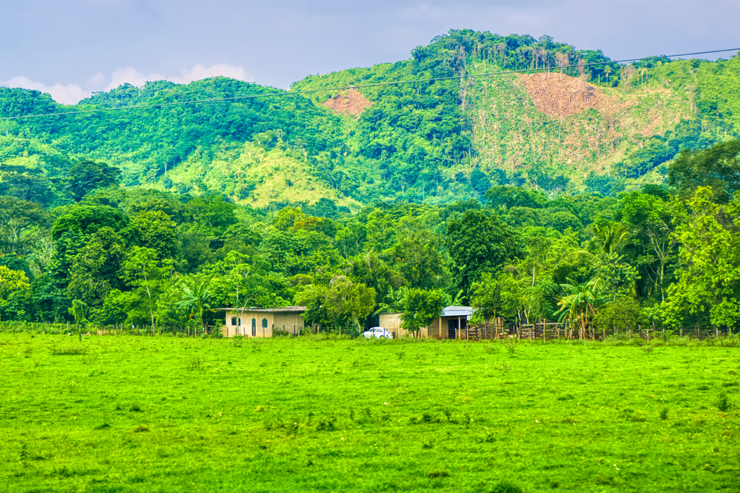
Our drive from Palenque to Chilon and back, with the stop at Misol Há, was some of the prettiest countryside we’d seen, so the day wasn’t wasted. Still, I’d have to admit that I shouldn’t have attempted the drive to San Cristobal de Las Casas. That was a rookie move. I’d underestimated the difficulty of that stretch of road, so it was just as well that we’d been forced to turn around. It actually made a lot more sense logistically to save San Cristobal for later, AFTER our circuit of the Yucatan, so that we’d only have to drive that crazy highway ONCE! Meanwhile? The Yucatan, and all its wonders, was waiting for us, just down the road.
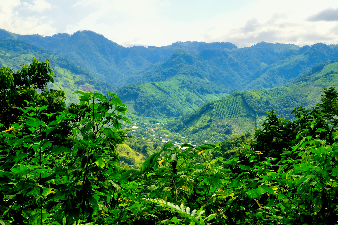
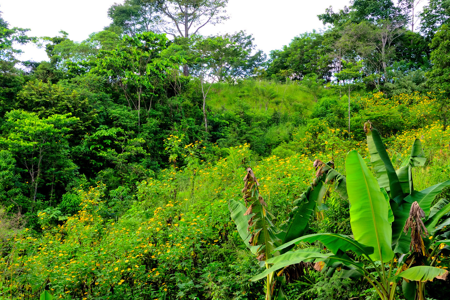
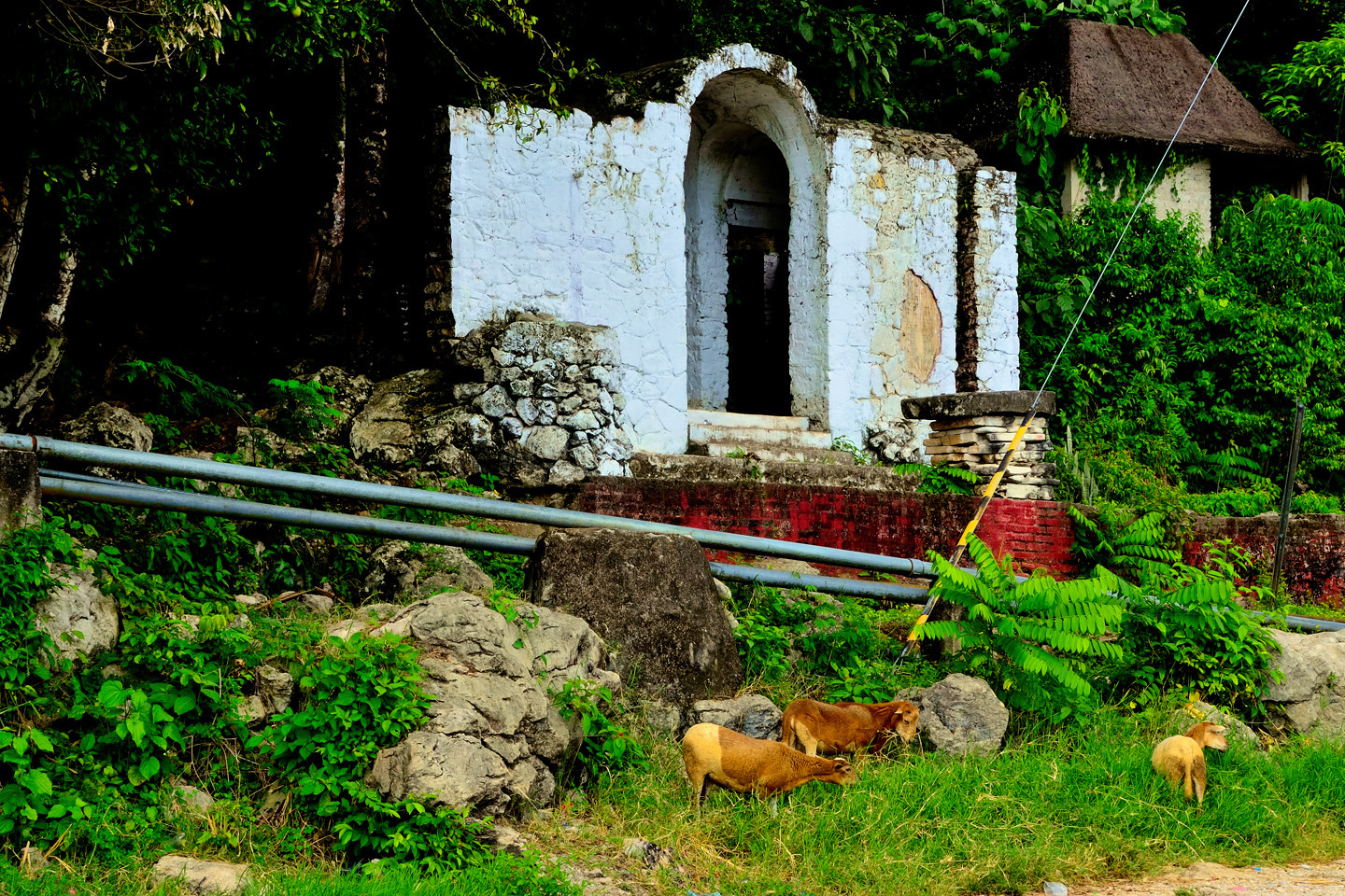
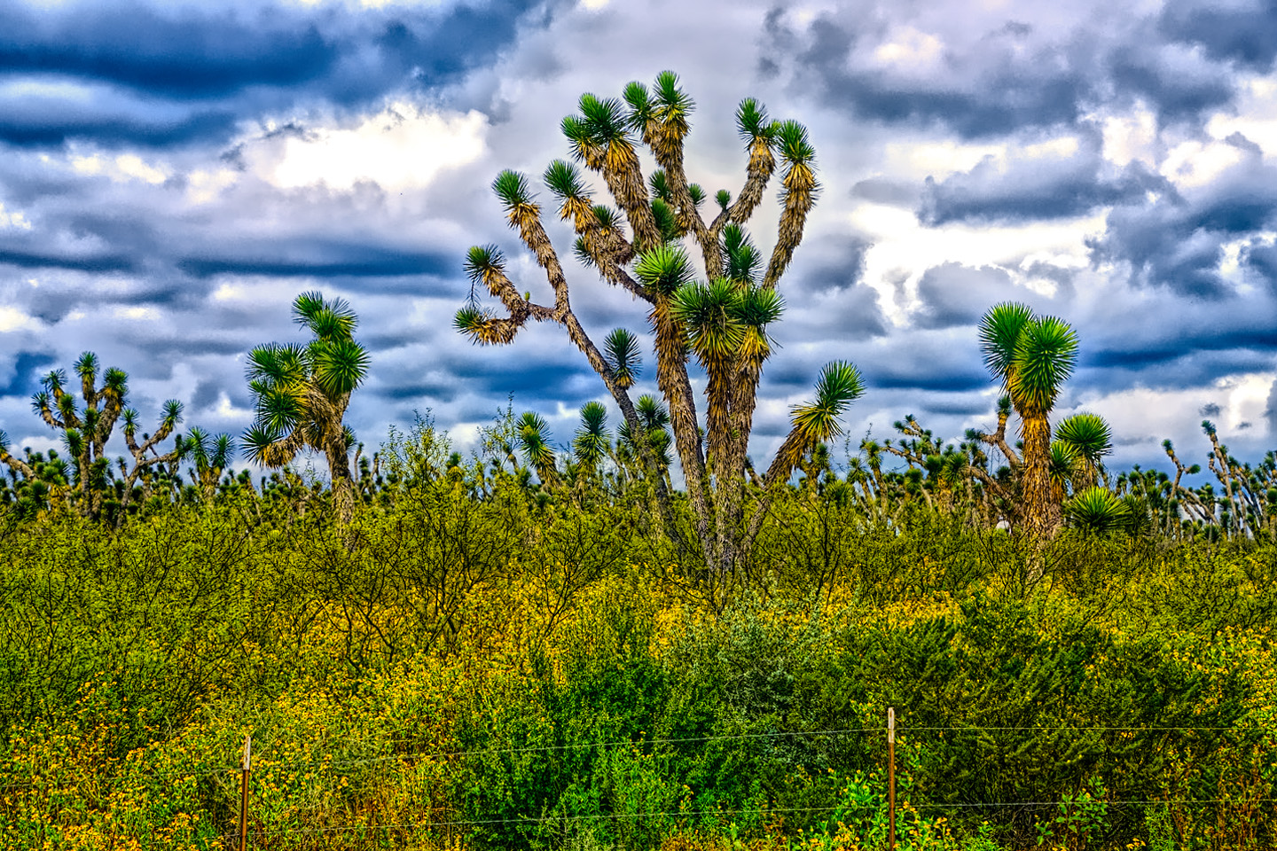
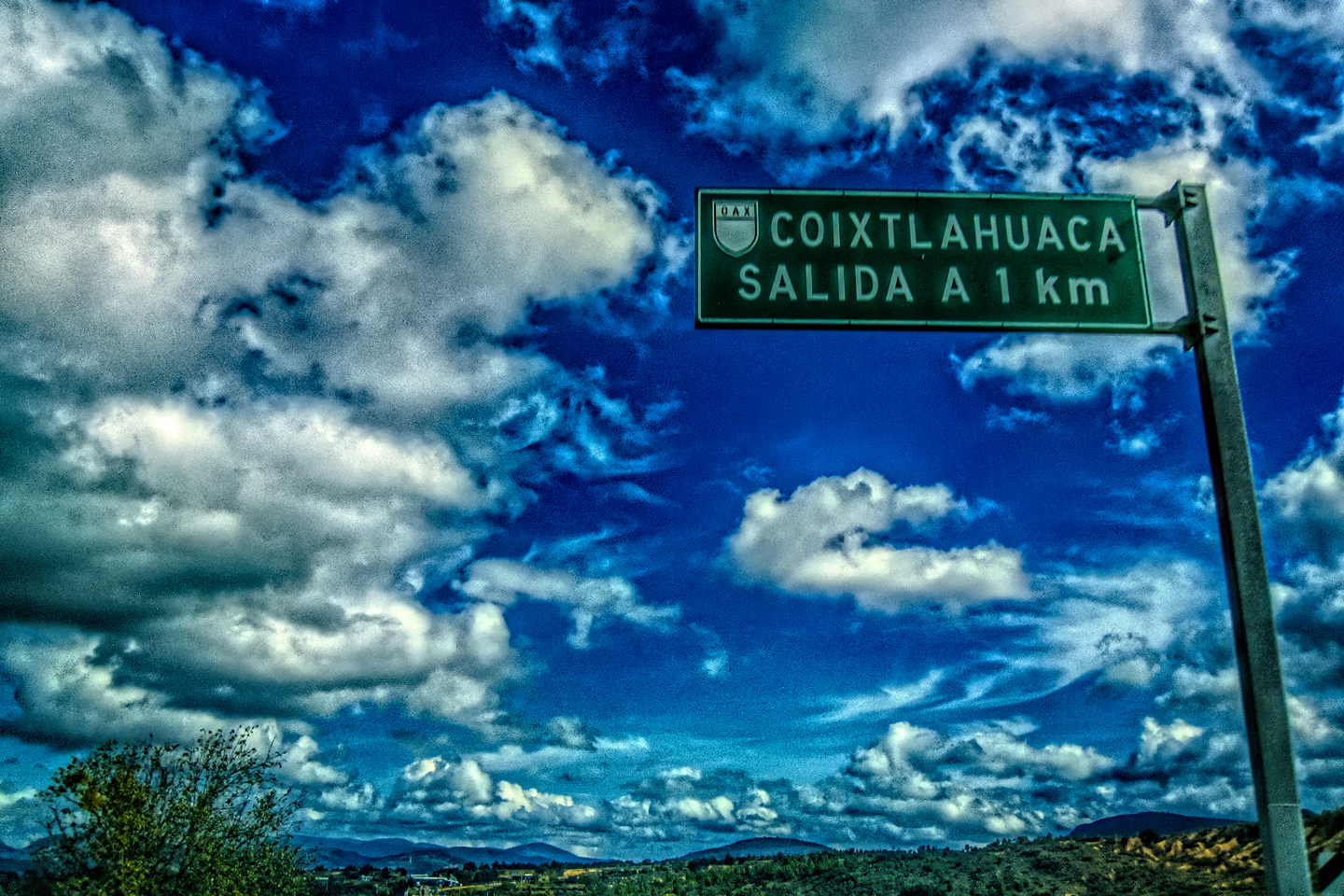
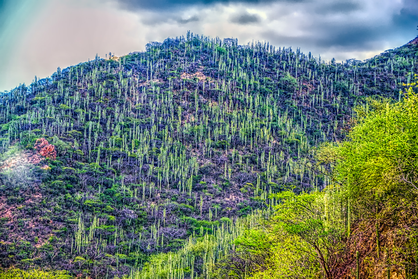
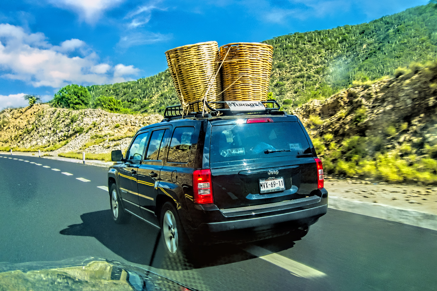
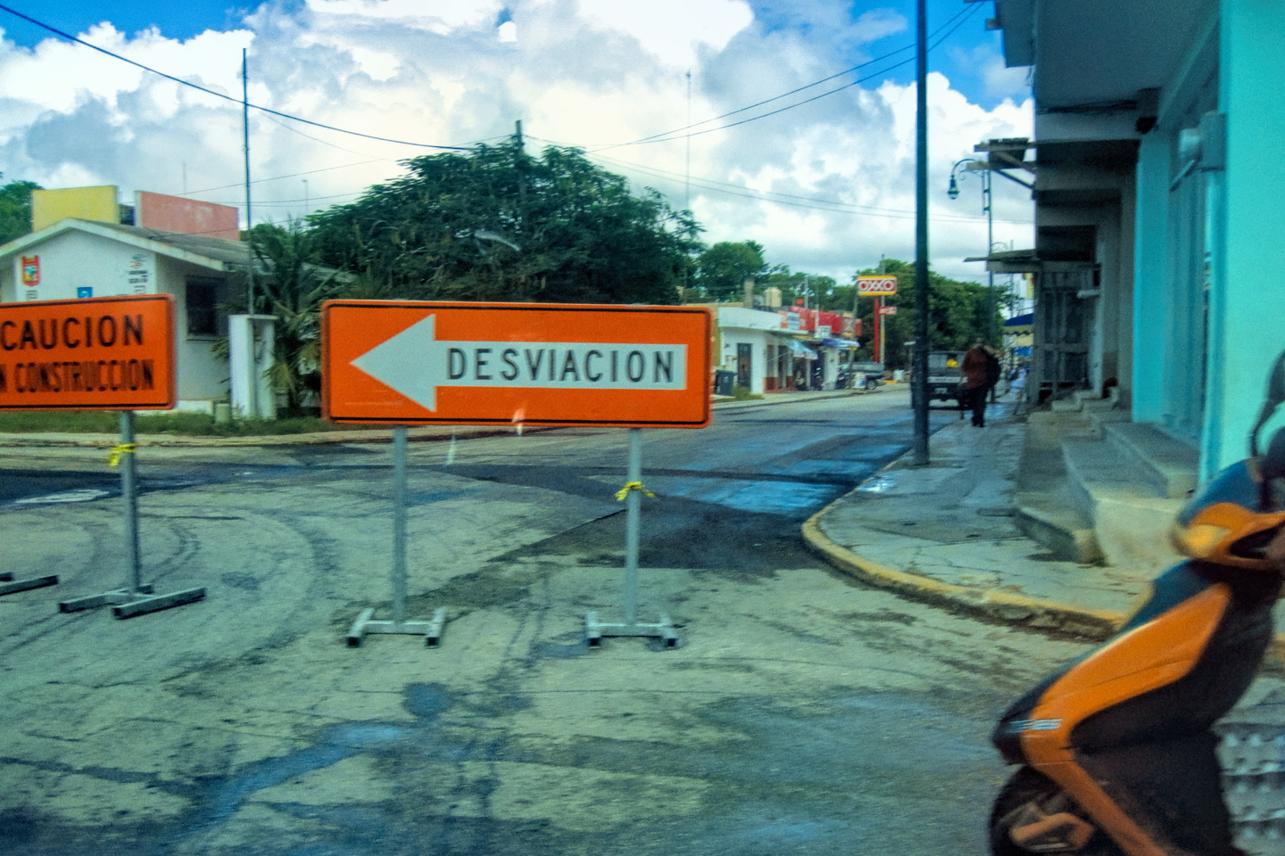
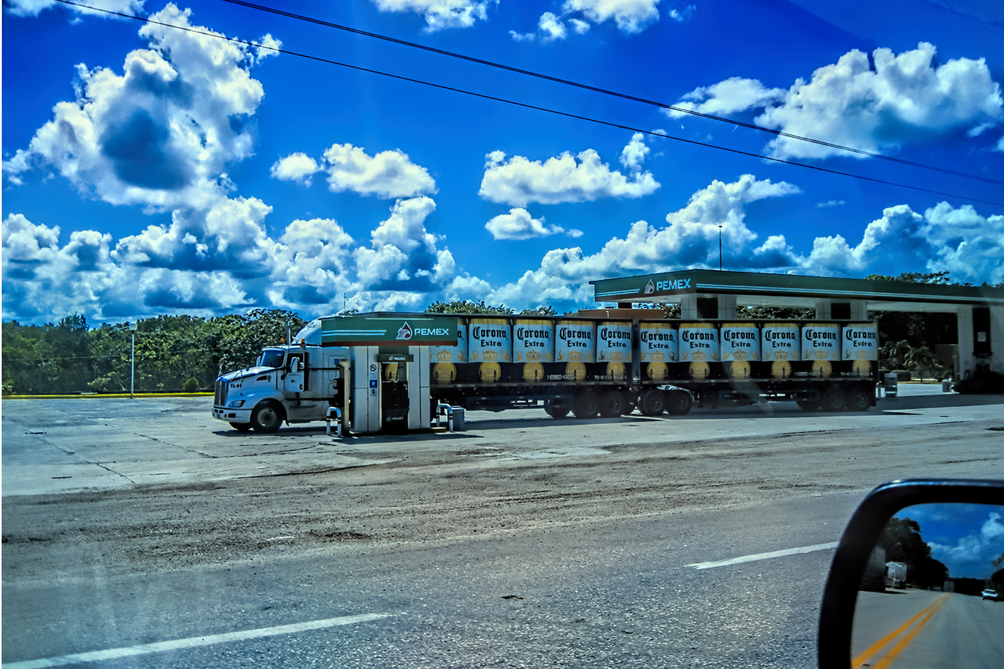
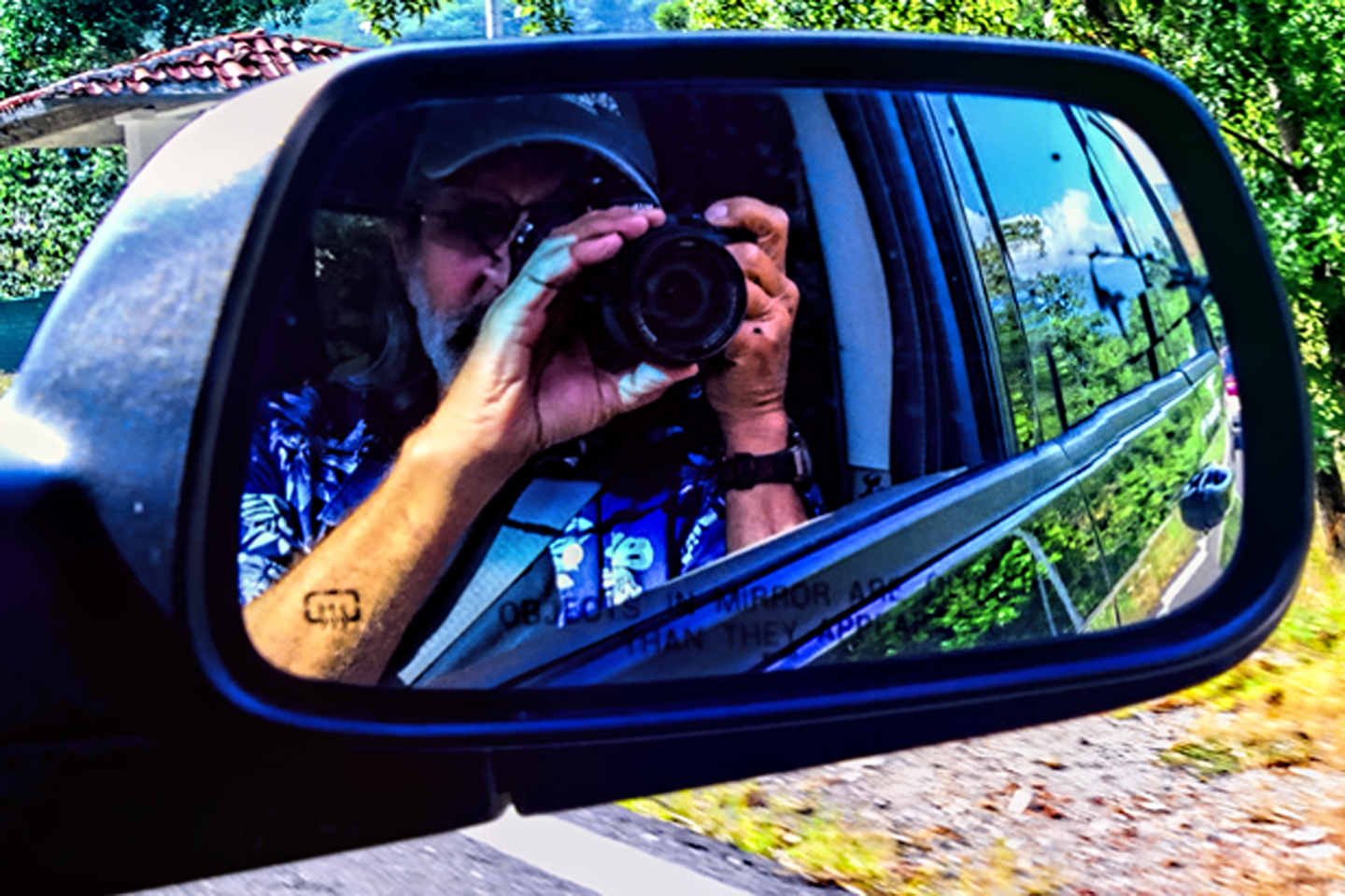
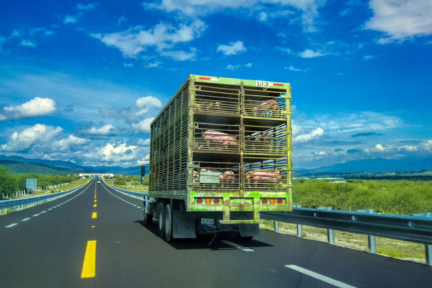
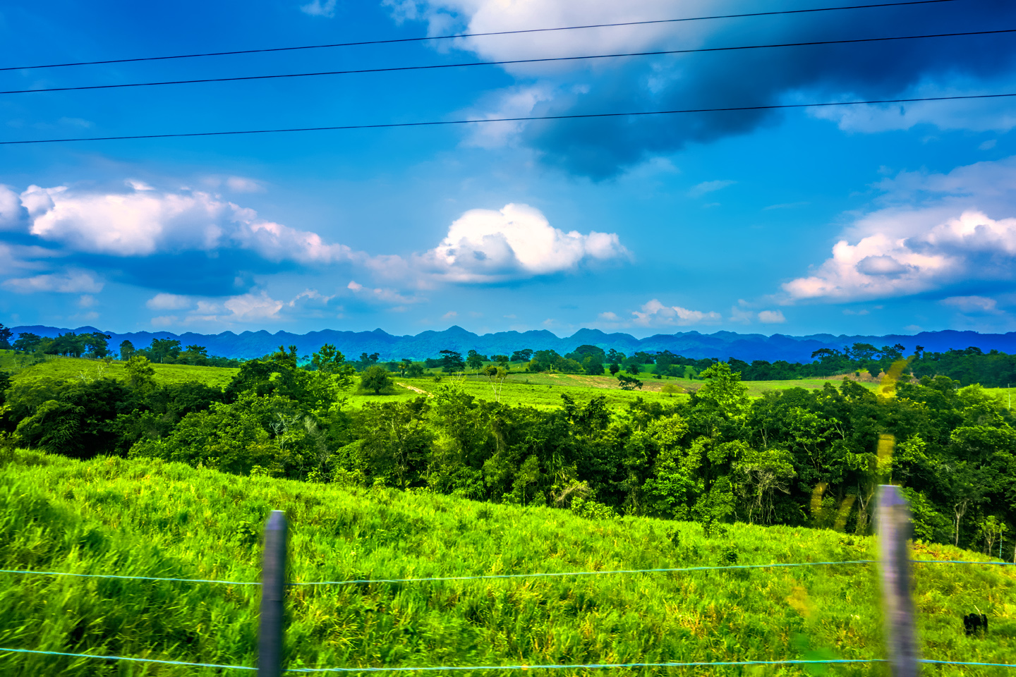
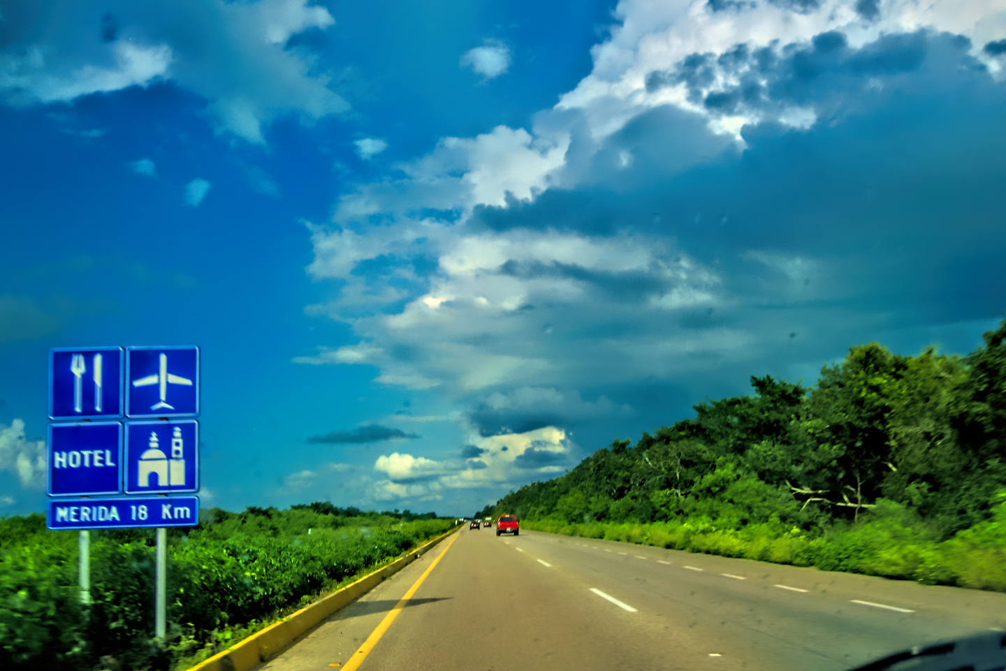
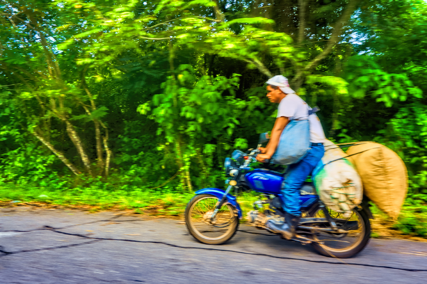
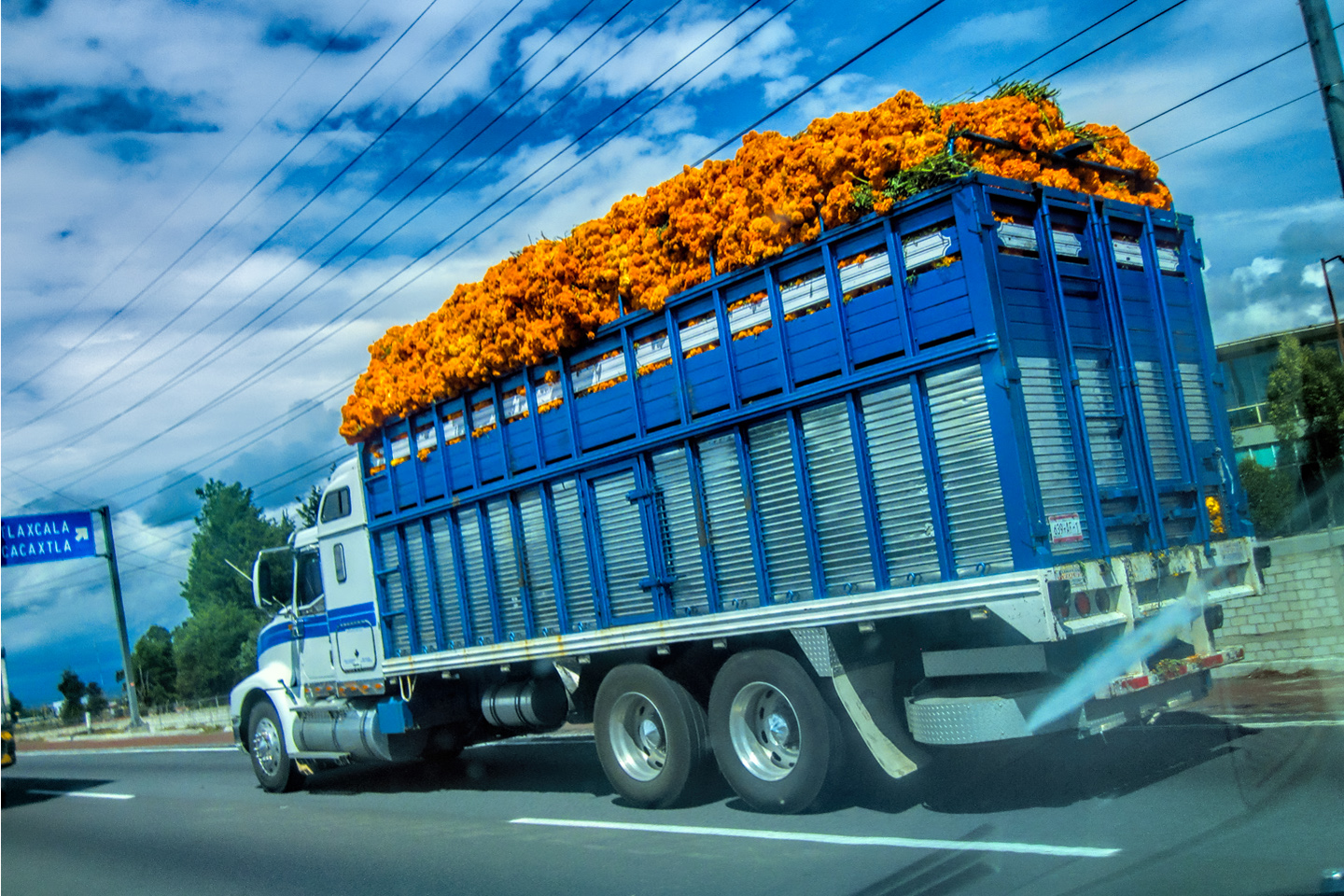
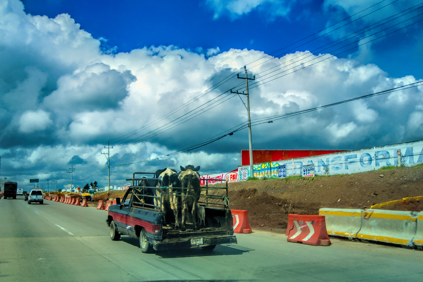
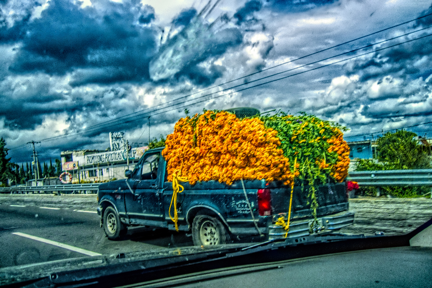
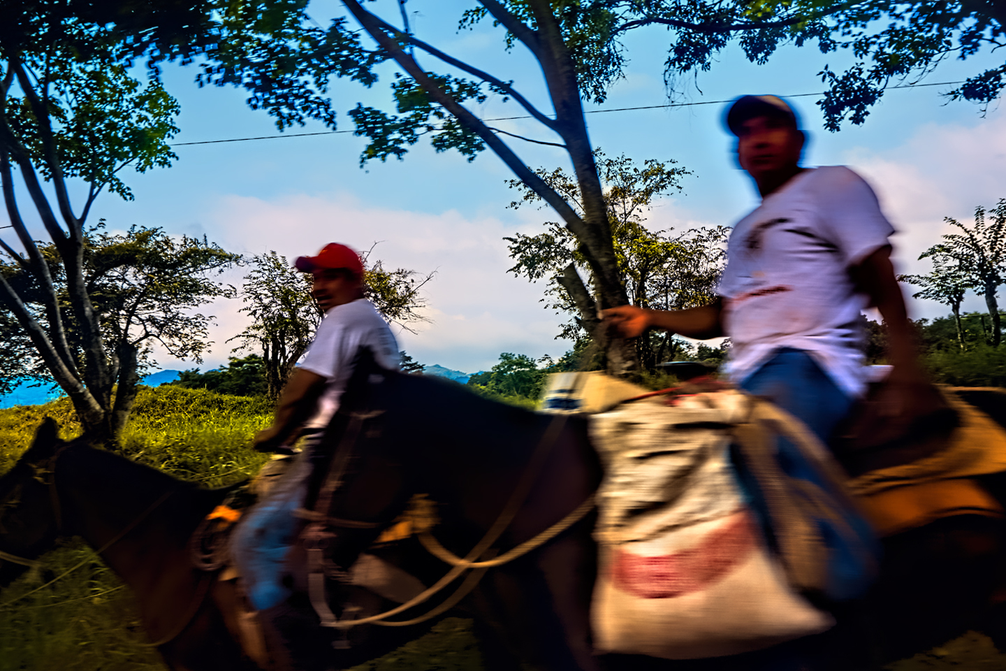
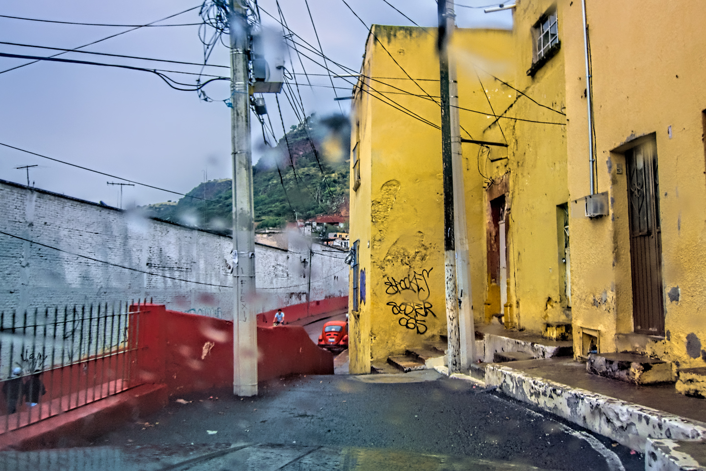
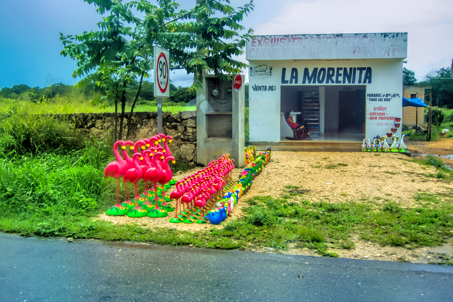
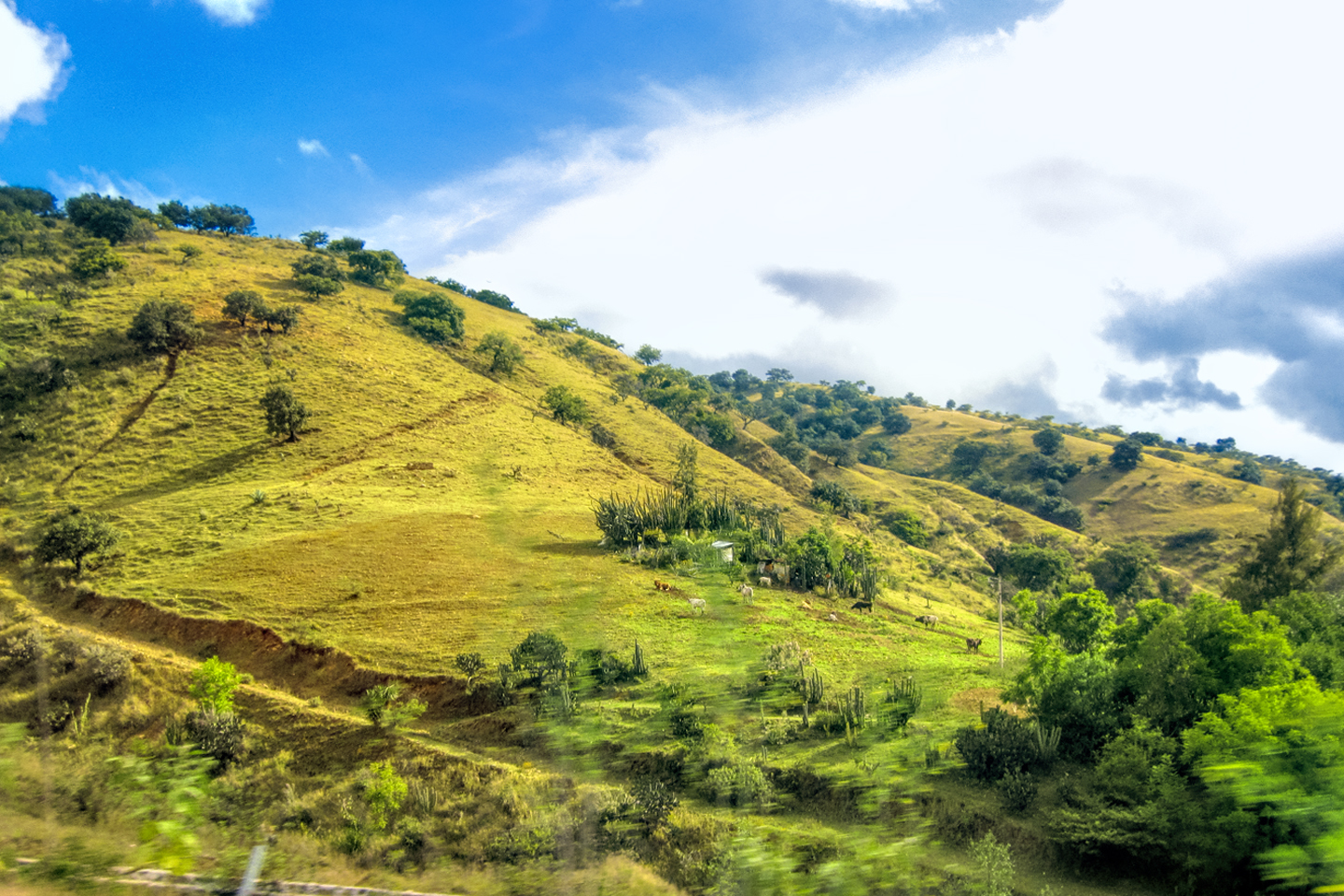
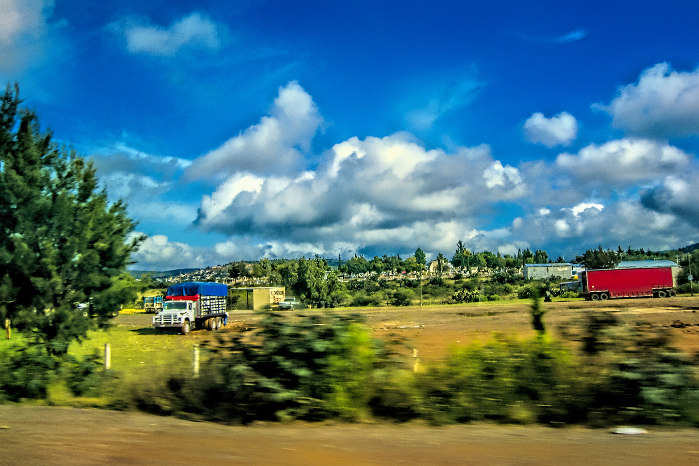
Scenes along the road, in the forested hills of Chiapas.

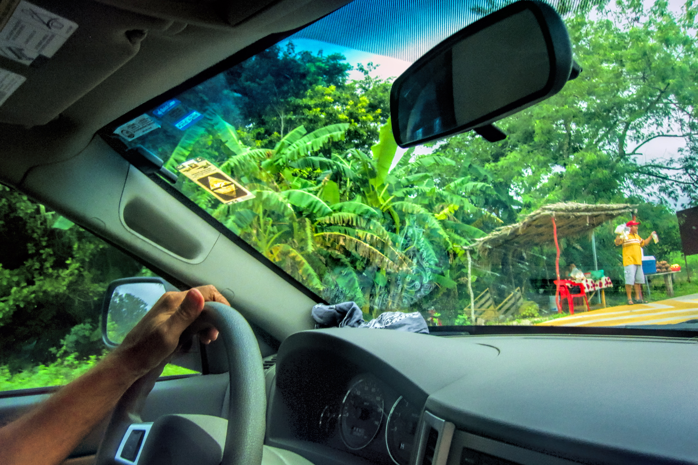
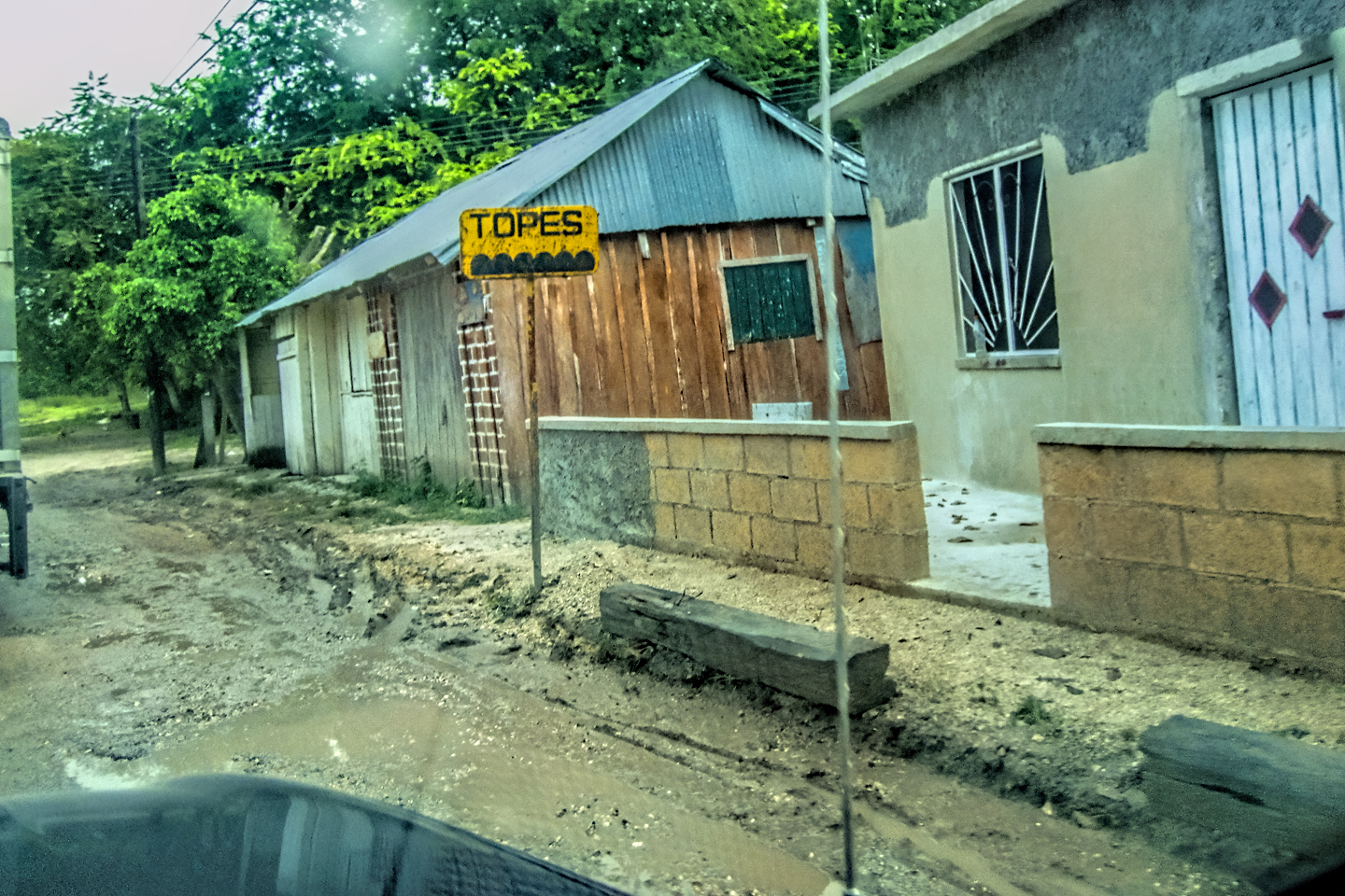
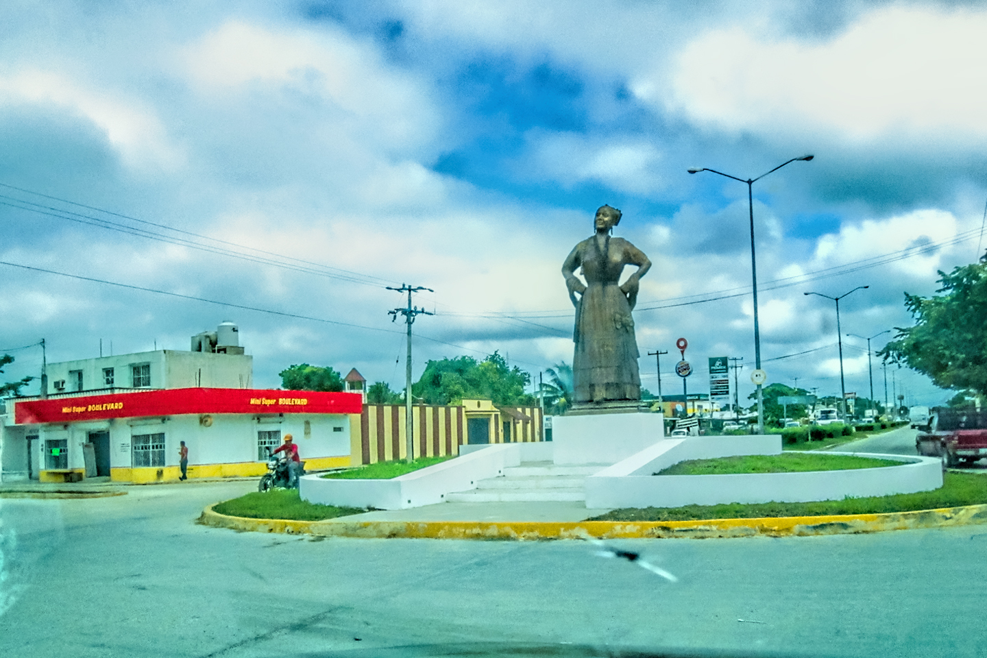
The photo collage below features additional pictures taken on the road in Mexico by my inestimable shotgun rider, Michael Fritz. Click any image to expand them to full screen:
(Unless otherwise noted, all other images are my (or Michael’s) original work, and are protected by copyright. They may not be duplicated for commercial purposes.)
Click any photo to expand the image to full screen
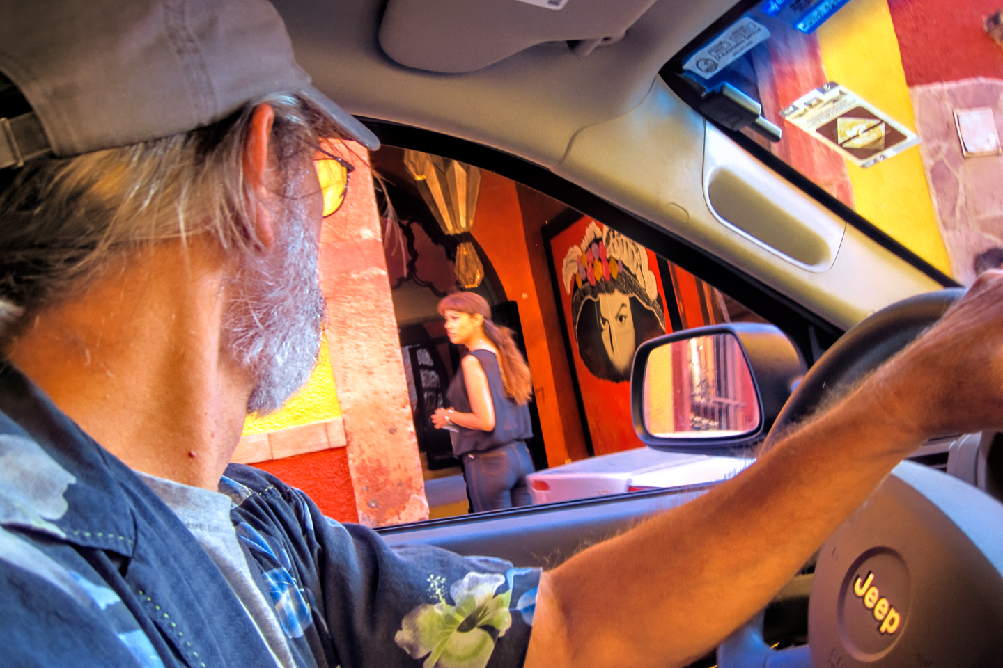
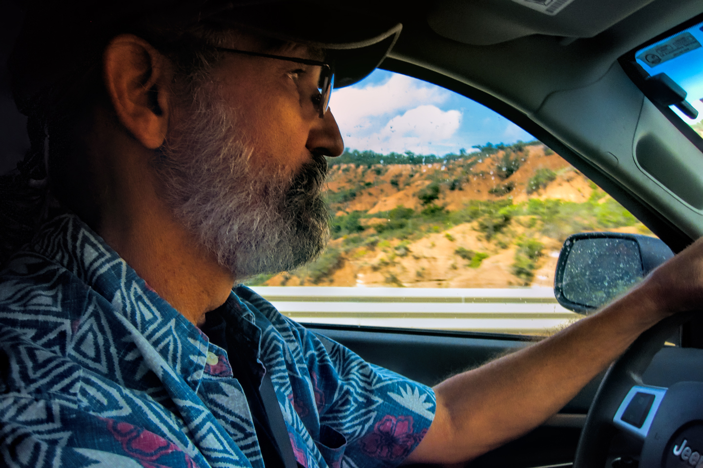
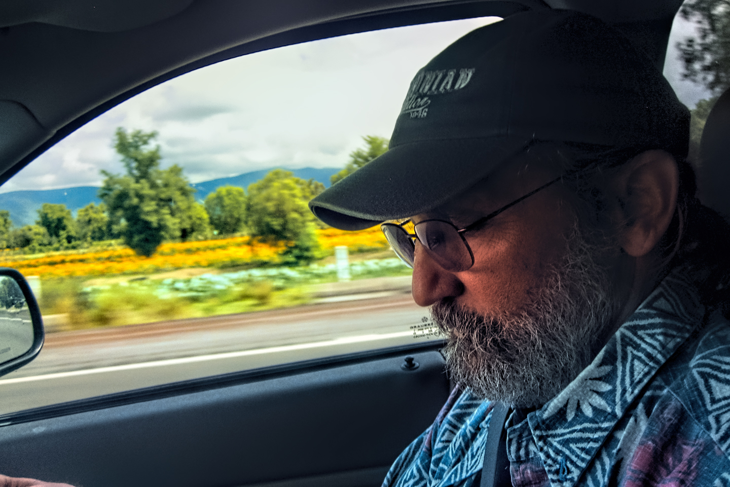
Michael Fritz, “Elmo,” 1949-2025
READ MORE LIKE THIS:
This is an interactive Table of Contents. Click the thumbnails to open the pages.
ON THE ROAD IN MEXICO

MEXICAN ROAD TRIP: HOW TO PLAN AND PREPARE FOR A DRIVE TO THE YUCATAN
The published threat levels are a “full-stop” deal breaker for the average tourist. That’s unfortunate, because Mexican road trips are fantastic! Yes, there are risks, but all you have to do to reduce those risks to to an acceptable level is follow a few simple guidelines.
<<CLICK to Read More!>>

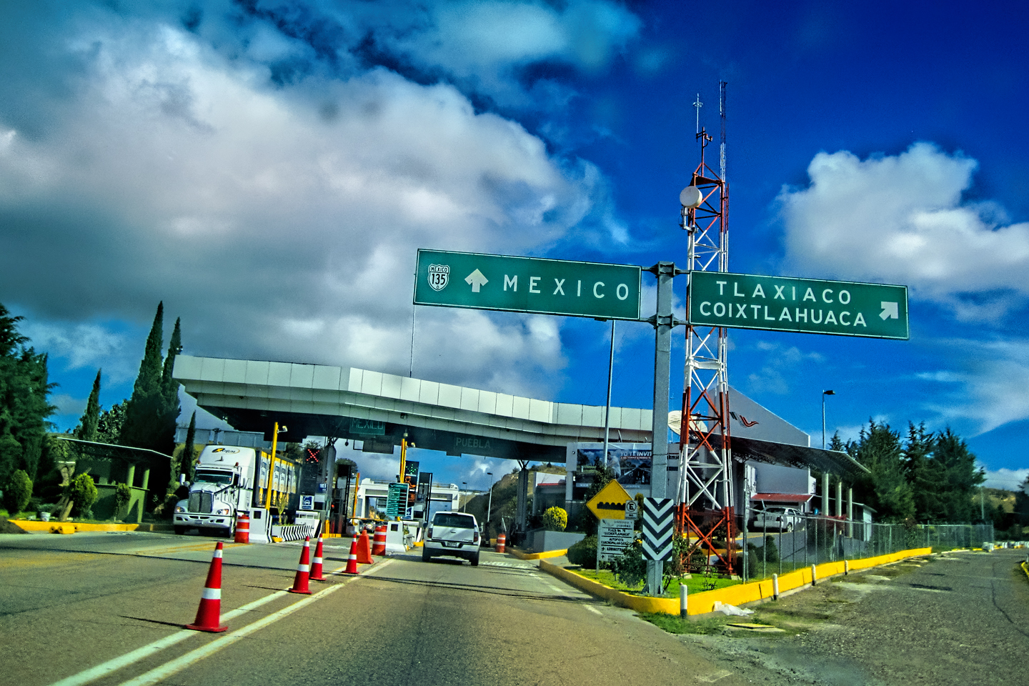
Mexican Road Trip: Heading South, From Laredo to Villahermosa
When it was our turn, soldiers in SWAT gear surrounded my Jeep, and an officer with a machine gun gestured for me to roll down my window. He asked me where we were going. I’d learned my lesson in customs, and knew better than to mention the Yucatan. “We’re going to Monterrey,” I said, without elaborating.
He checked our ID’s and our travel documents, then handed them back. “Don’t stop along the way,” he advised. “You need to get off this road and to a safe place as quickly as you can!”
<<CLICK to Read More!>>

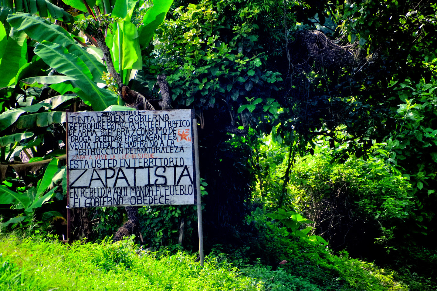
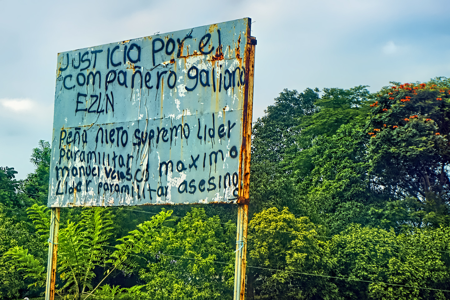
Mexican Road Trip: Zapatista Road Blocks in Chiapas
“Good morning,” I said. “We’re driving to Palenque. Will you allow us to pass?”
The leader of the group, a young Mayan lad, walked up beside my Jeep, and fixed me with a menacing glare. “The road is closed,” he said, keeping his hand on the hilt of his machete. “By order of the Ejército Zapatista de Liberación Nacional!”
“Is it closed to everyone?” I asked innocently. “How about if we pay a toll? How much would the toll be?”
He gave me an even more menacing glare. “That will cost you everything you’ve got,” he said gruffly, brandishing his machete, while his companions did the same.
<<CLICK to Read More!>>

Mexican Road Trip: Mayan Ruins and Waterfalls in the Lacandon Jungle
The next morning, we were waiting at the entrance to the Archaeological Park a half hour before they opened for the day. We were the only ones there, so they let us through early, and I had the glorious privelege of photographing that wonderful ruin in the golden light of early morning, without a single fellow tourist cluttering my view.
<<CLICK to Read More!>>
Mexican Road Trip: Merida and the Meridanos
Merida is the largest city in southern Mexico, with a population of almost a million. Statistically, Yucatan is the safest of Mexico’s states, and Merida is widely considered the safest of all Mexico’s cities.
<<CLICK to Read More!>>


Mexican Road Trip: Cancún, Tulum, and the Riviera Maya
The millions of tourists who fly directly to Cancún from the U.S. or Canada are seeing the place out of context. They can’t possibly appreciate the fact that they’re 2,000 miles south of the border; a whole country, a whole culture, a whole history away from the U.S.A. Just looking around, on the surface? The second largest city in southern Mexico could easily pass for a beach town in Florida.
<<CLICK to Read More!>>

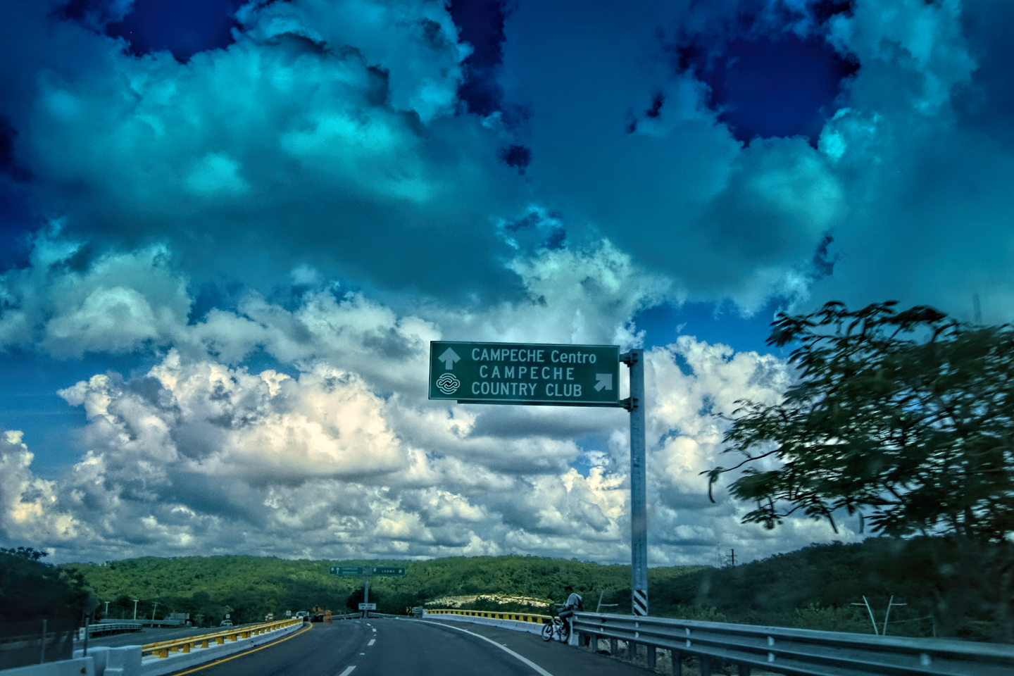
Mexican Road Trip: Circling the Yucatan, from Quintana Roo to Campeche
The Castillo at Muyil isn't huge, as Mayan pyramids go, topping out at just over 50 feet, but it’s definitely imposing. Try to imagine: the equivalent of a five story building, with a three story grand staircase, just appearing, out in the middle of nowhere? Boo-yah!
<<CLICK to Read More!>>

Mexican Road Trip: Edzná, and Campeche, Where They Dance La Guaranducha
La Guaranducha, a traditional dance from Campeche, is a celebration of life, community, and the joy of existence. On stage, there was a group of young men and women in traditional dress, but it was clear that the guys were little more than props, because all eyes were on the girls. So colorful, and so elegant, hiding coyly behind their pleated, folding hand fans.

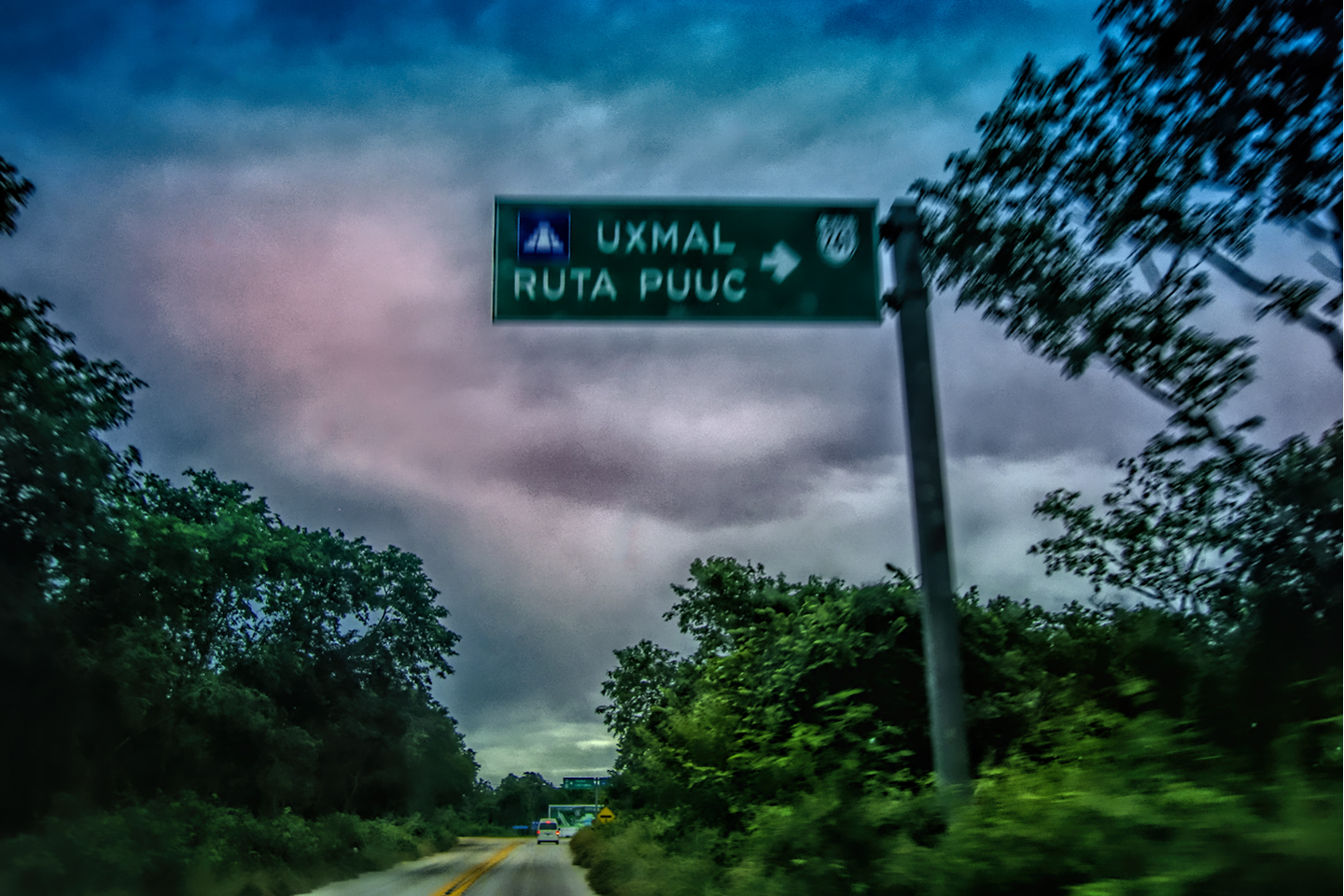
Mexican Road Trip: Adventures Along the Puuc Route
All of these communities in the Puuc region were allied, politically, culturally, economically, and socially. The Puuc was the cradle of the Golden Age of the Maya. Labna and Sayil were among the brightest jewels in the crown of a realm that never quite coalesced into an empire.
<<CLICK to Read More!>>

Mexican Road Trip: The Road to Bonampak
Rainwater seeping through the limestone walls of the temple soaked the Bonampak Murals with a mineral-rich solution that, each time it dried, left behind a sheen of translucent calcite. The built-up coating protected the paintings for more than 1200 years. As a result, we're left with the finest examples of ancient art from the Americas to have survived into our modern era.

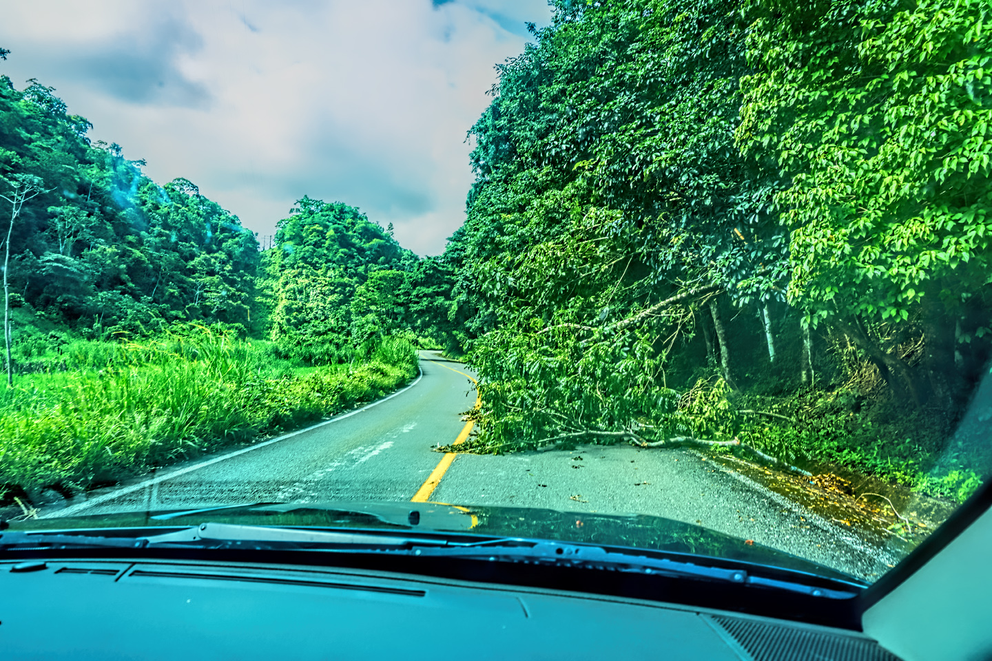
Mexican Road Trip: Crossing the Chiapas Highlands, to San Cristobal de las Casas
MX 199 crosses the Chiapas Highlands from Palenque to San Cristobal de las Casas. The distance is only 132 miles, but it's 132 miles of curvy mountain roads with switchbacks, steep grades, slow trucks, and villages chock-a-block with topes and bloqueos, unofficial road blocks. Everything I read, and everything I heard, described the drive as alternatively spectacular, dangerous, and fascinating, in seemingly equal measure.

Mexican Road Trip: Cruising the Sierra Madre, from San Cristobal to Oaxaca
Today, we’d be driving as far as the city of Oaxaca, 380 miles of curves, switchbacks, and rolling hills that would require at least ten hours of our full attention, crossing the Sierra Madre de Chiapas, and entering the rugged, agave-studded landscape of the Sierra Madre de Oaxaca. If you’d like to know what that was like, read on!

Mexican Road Trip: Flashing Lights in the Rear View: Officer Plata and La Mordida
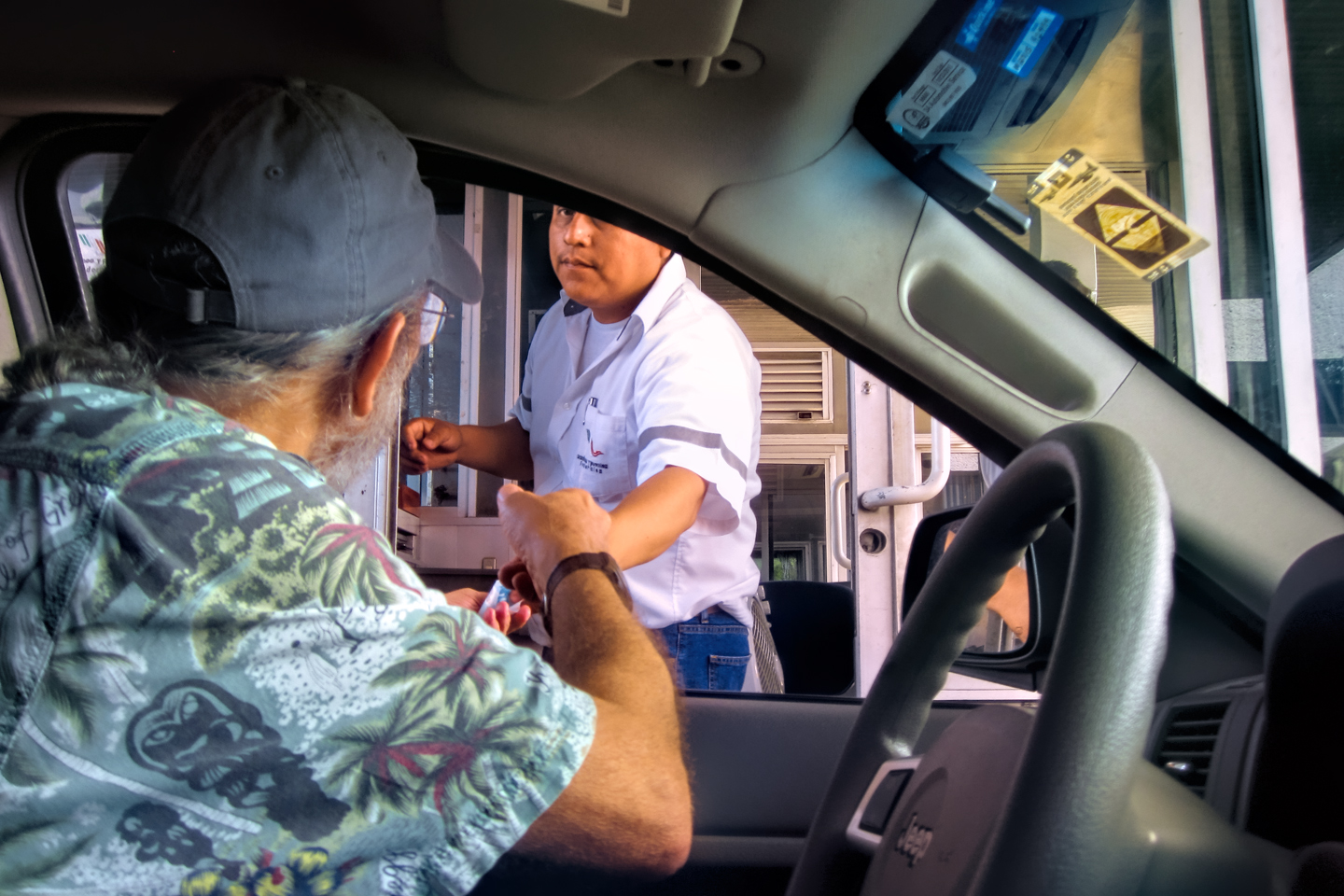
As we drove away from the toll plaza, a State Police car that had been parked off to one side made a fast U-Turn and started following me. A moment later, he turned on his flashers and gave me a short blast on his siren, motioning for me to pull over. Two uniformed policemen got out, and approached me on the driver's side. One of them hung back, apparently checking out my license plate before making a phone call.
I wasn't sure if I was being stopped for some infraction, or if these guys were just fishing...

Mexican Road Trip: Three Days of the Dead in San Miguel de Allende
By mid-afternoon, the Jardin was beginning to fill with people. Painted faces were literally everywhere! It was like a costume party, but the venue wasn’t some hall or other indoor space, it was the whole entire town! Mike and I were definitely getting into the spirit of the thing–but we still drew the line at the notion of painting our beards...
Mexican Road Trip: Back to the Border: San Miguel de Allende to Eagle Pass
Saltillo was our crossroads: if we turned east here, we’d be retracing our previous route to the border at Nuevo Laredo--along the Highway of Death! This time, we knew better, so we turned north, toward Monclova, and Piedras Negras.


Southern Colonials: Merida, Campeche, and San Cristobal
Visiting the Spanish Colonial cities of Mexico is almost like traveling back in time. Narrow cobblestone streets wind between buildings, facades, and stately old mansions that date back three hundred years or more, along with beautiful plazas, parks, and soaring cathedrals, all of similar vintage.
<<CLICK to Read More!>>

San Miguel de Allende, Mexico's Colonial Gem
If you include the chilangos, (escapees from Mexico City), close to 20% of the population of San Miguel de Allende is from somewhere else, a figure that includes several thousand American retirees.
<<CLICK to Read More!>>

Day of the Dead in San Miguel de Allende
In San Miguel de Allende, they've adopted a variation on the American version of Halloween and made it a part of their Day of the Dead celebration. Costumed children circle the square seeking candy hand-outs from the crowd of onlookers. It's a wonderful, colorful parade that's all about the treats, with no tricks!
<<CLICK to Read More!>>
DIA DE LOS MUERTOS: A GALLERY OF PHOTOGRAPHS


IN THE LAND OF THE MAYA
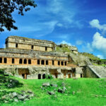
Palenque: Mayan City in the Hills of Chiapas
Palenque! Just hearing the name conjures images of crumbling limestone pyramids rising up out of the jungle, of palaces and temples cloaked in mist, ornate stone carvings, colorful parrots and toucans flitting from tree to tree in the dense forest that constantly encroaches, threatening to swallow the place whole.
<<CLICK to Read More!>>

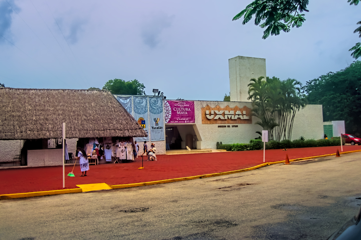
Uxmal: Architectural Perfection in the Land of the Maya
The Pyramid of the Magician is one of the most impressive monuments I've ever seen. There's a powerful energy in that spot--maybe something to do with all the blood that was spilled on the altars of human sacrifice at the top of those impossibly steep steps--but more than any building or other structure at any ancient ruin I've ever visited, more than any demonic ancient sculpture I've ever seen, that pyramid at Uxmal quite frankly scared the hell out of me!
<<CLICK to Read More!>>

The Mayan City of Edzná: First House of the Itzás
The Mayan Edzná is nothing less than epic, lyrical poetry, an extraordinary sonnet comprised of temples and palaces carved in stone that have stood, in regal grandeur, for more than a thousand years.
<<CLICK to Read More!>>

Photographer's Assignment: Chichén Itzá
To get the best photos, arrive at the park before it opens at 8 AM. There will only be a handful of other visitors, and you’ll have the place practically all to yourself for as much as two hours! Take your time composing your perfect shot.There won’t be a single selfie stick in sight.
<<CLICK to Read More!>>

Chichén Itzá: Requiem for the Feathered Serpent
The feathered serpent with the unquenchable thirst for blood may be gone now, or at least fallen out of favor, but as long as the ruins of this ancient city remain standing, he won’t be forgotten.
<<CLICK to Read More!>>

Tulum: The City that Greets the Dawn
Tulum is not all that large, as Mayan sites go, but its spectacular location, right on the east coast of the Yucatan Peninsula, makes it one of the best known, and definitely one of the most picturesque.
<<CLICK to Read More!>>

Cobá and Muyil: Mayan Cities in Quintana Roo
Cobá was a trading hub, positioned at the nexus of a network of raised stone and plaster causeways known as the sacbeob, the white roads, some of which extended for as much as 100 kilometers, connecting far-flung Mayan communities and helping to cement the influence of this powerful city.
<<CLICK to Read More!>>

Becan and Chicanná: Mayan Cities in the Rio Bec Style
Much about the Rio Bec architectural style was based on illusion: common elements include staircases that go nowhere and serve no function, false doorways into alcoves that end in blank walls, and buildings that appear to be temples, but are actually solid structures with no interior space.
<<CLICK to Read More!>>

The Puuc Hills: Apex of Mayan Architecture
The Puuc style was a whole new way of building. The craftsmanship was unsurpassed, and some of the monumental structures created in this period, most notably the Governor’s Palace at Uxmal, rank among the greatest architectural achievements of all time.
<<CLICK to Read More!>>

The Amazing Mayan Murals of Bonampak
Out of that handful of Mayan sites where mural paintings have survived, there is one in particular that stands head and shoulders above the rest. One very special place. Down by the Guatemalan border, in a remote corner of the Mexican State of Chiapas: a small Mayan ruin known as Bonampak.
<<CLICK to Read More!>>
This series of posts is dedicated to my old friend Mike Fritz (aka Elmo), my shotgun rider on my Mexican Road Trip. "Drive to the Yucatan and See Mayan Ruins" was at the top of my post-retirement bucket list, right after "Drive the Alaska Highway and see Denali." We checked off the whole Yucatan thing in a major way, and Mike was a heck of a good sport about it.
Michael passed away in February of 2025, after 75 years of a life well-lived. He was unique, and he'll be missed.

Michael Fritz ("Elmo") 1949-2025

There's nothing like a good road trip. Whether you're flying solo or with your family, on a motorcycle or in an RV, across your state or across the country, the important thing is that you're out there, away from your town, your work, your routine, meeting new people, seeing new sights, building the best kind of memories while living your life to the fullest.
Are you a veteran road tripper who loves grand vistas, or someone who's never done it, but would love to give it a try? Either way, you should consider making the Southwestern U.S. the scene of your own next adventure.
A few years ago I wrote a book about road trips in Arizona and New Mexico that's a lot like this website, packed with interesting information, and illustrated with beautiful photographs. Check it out! You can find it on Amazon, and at all other major booksellers.

ALASKA ROAD TRIP:
MEXICAN ROAD TRIP (IN THE LAND OF THE MAYA):
ARIZONA AND NEW MEXICO:
SOUTH AMERICA:
PHOTOGRAPHY:
TRIBAL LANDS:
Recent Comments