VERMONT ROAD TRIP: PART 2:
Route 100: A leaf Peepers Paradise
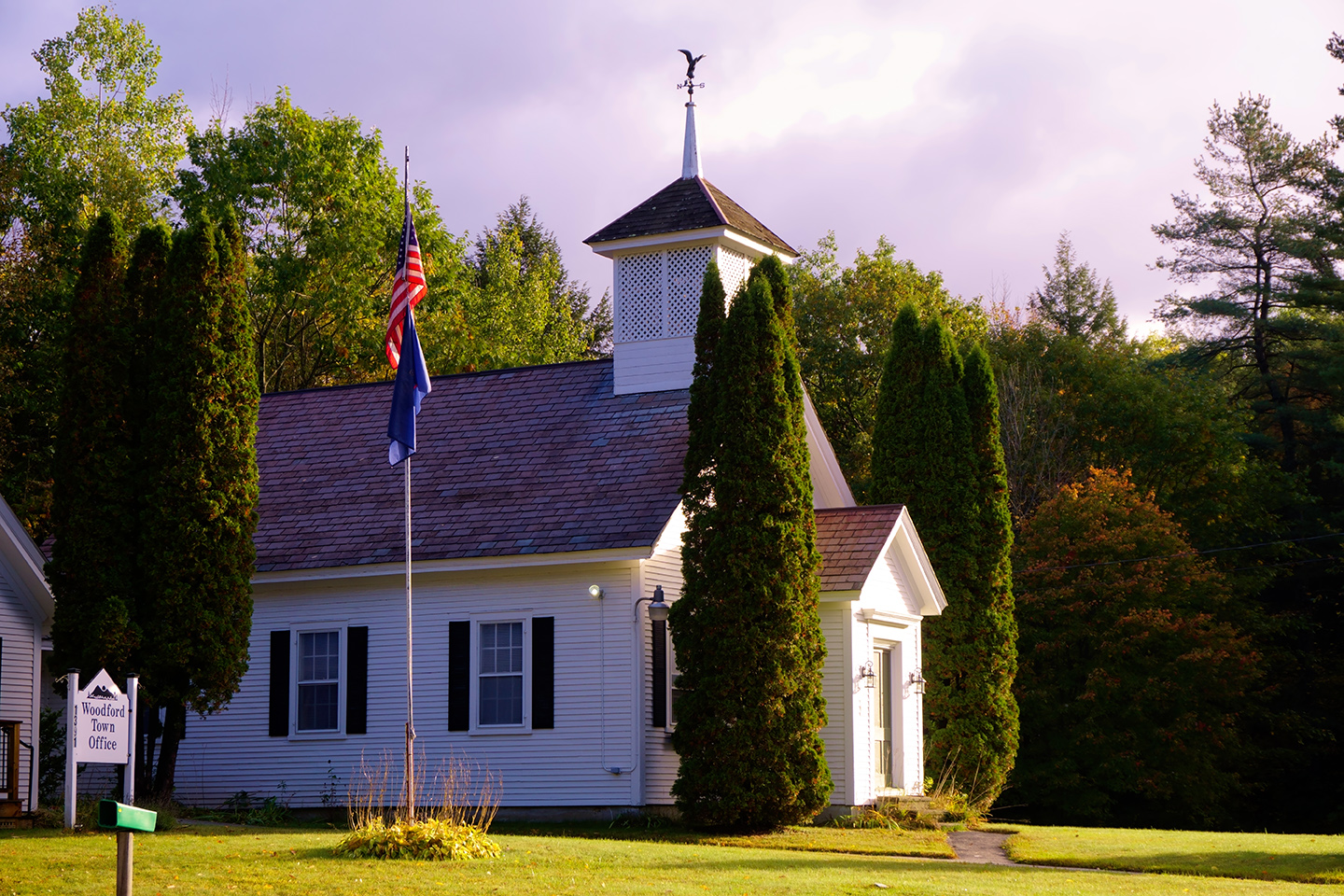
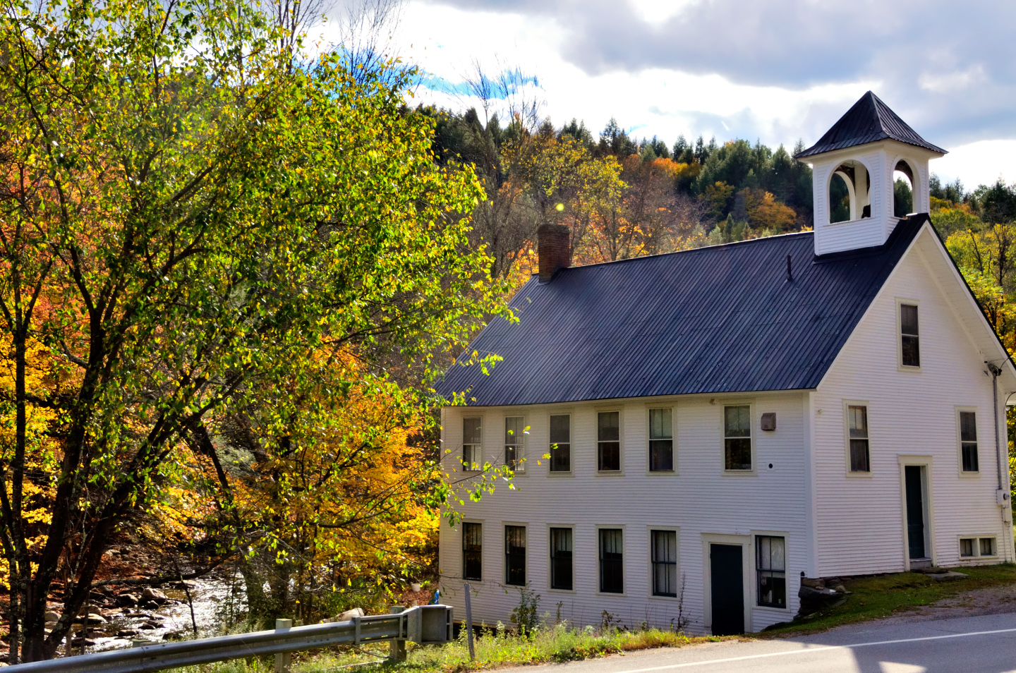
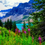
Woodford, Vermont town hall
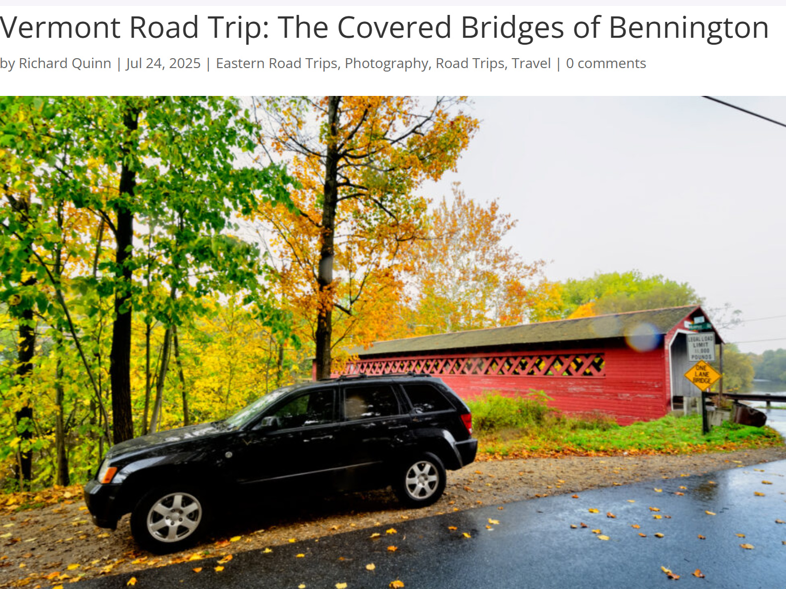
Barry told us to stick to Vermont Route 100 as we made our way north through the state, and that was excellent advice. Starting from Bennington, we followed VT 9, the Molly Stark Byway, east through Woodford to Wilmington, near the southern end of that famous road.
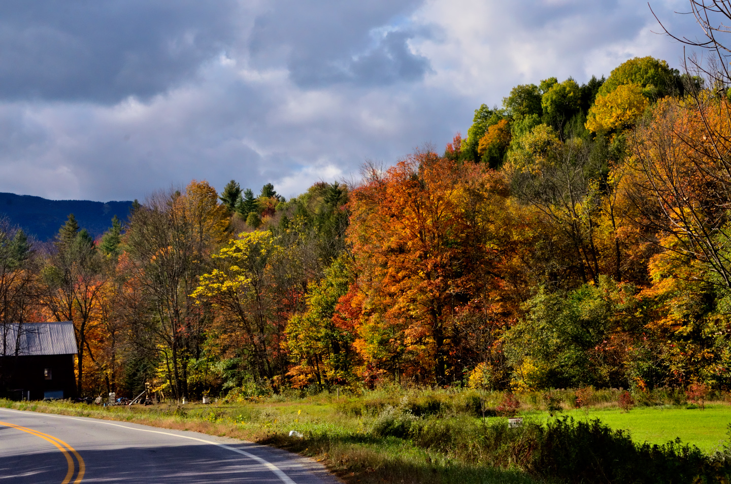
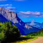
Scenes along VT Route 9
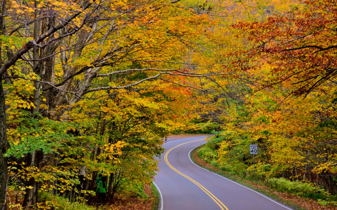
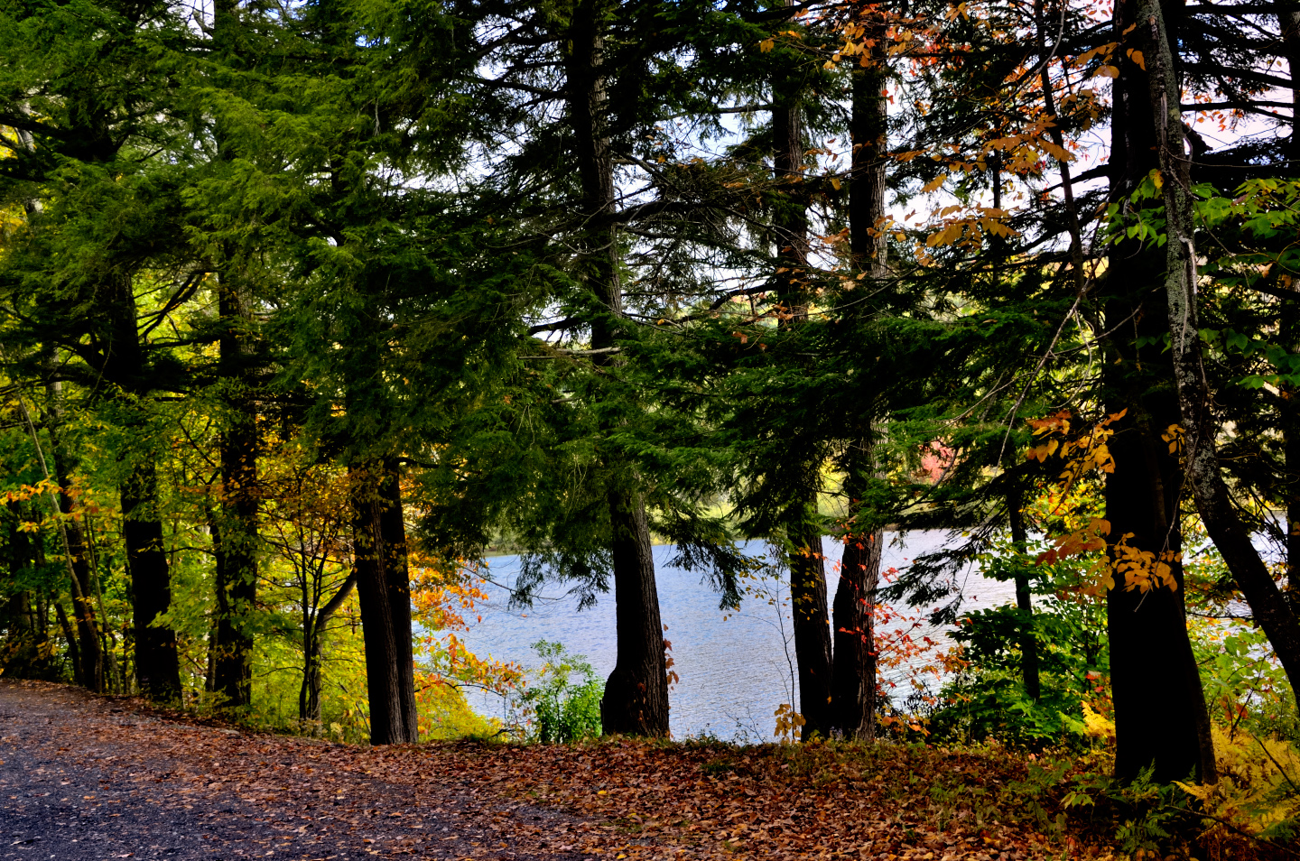
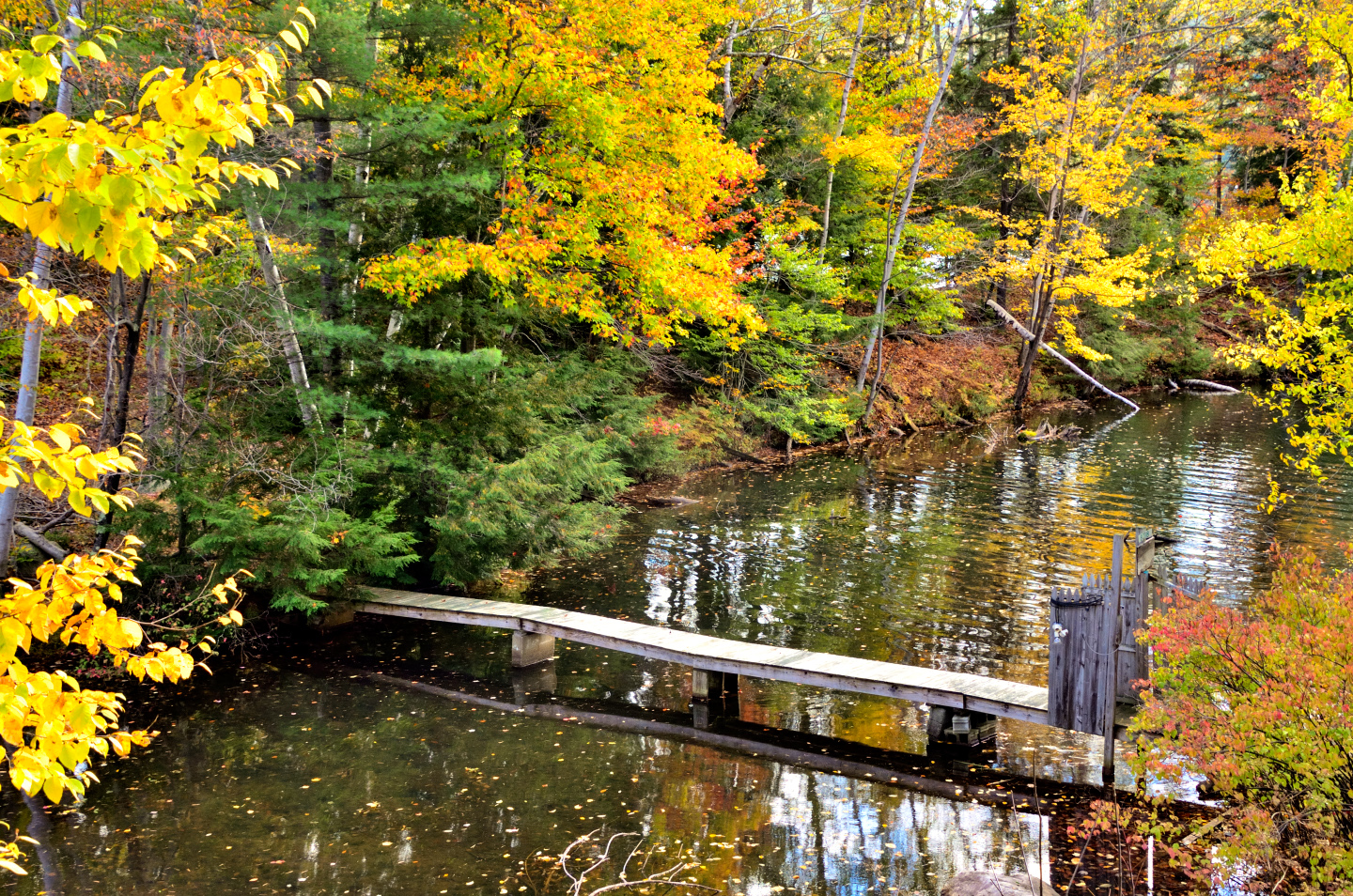
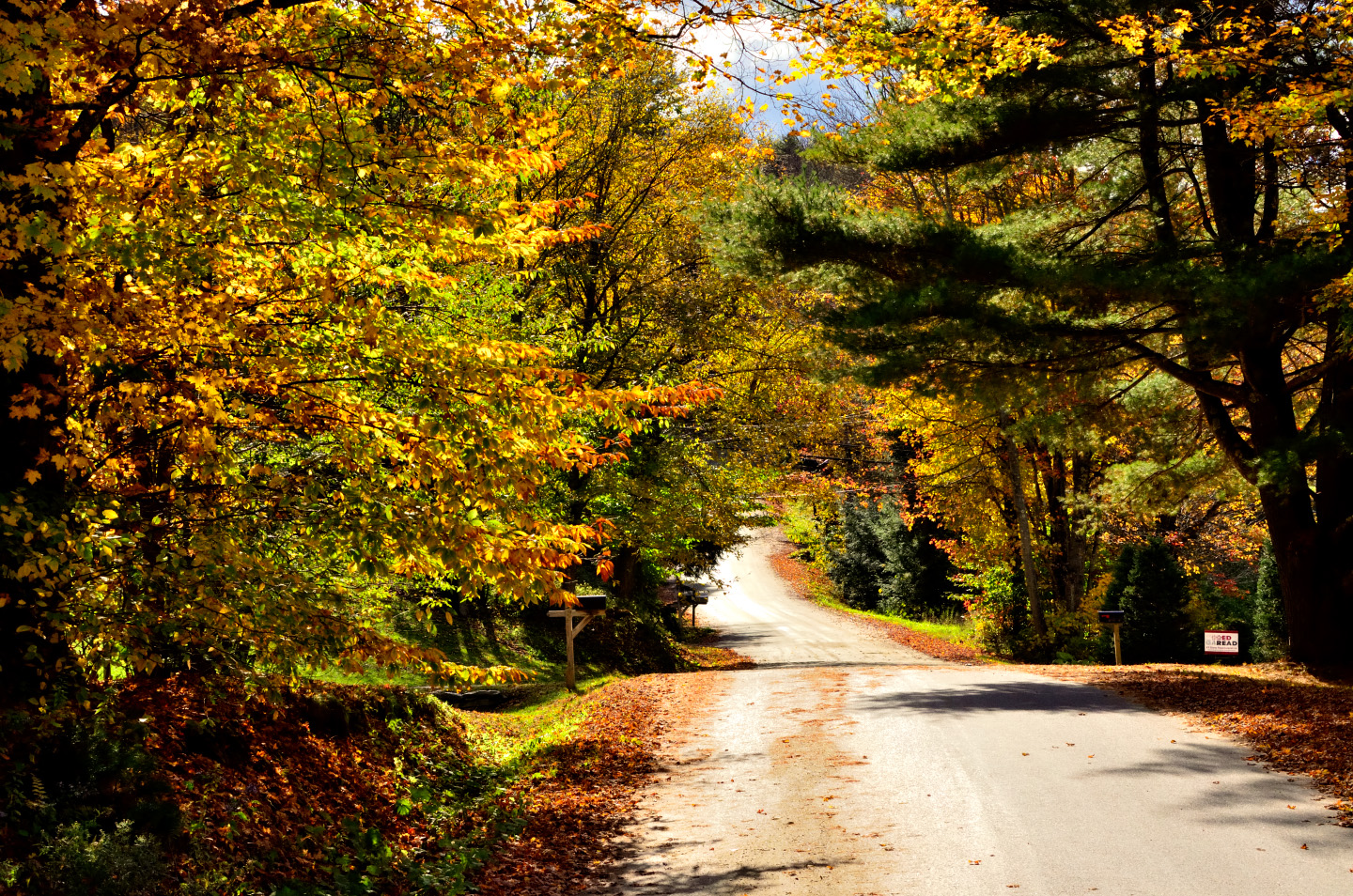
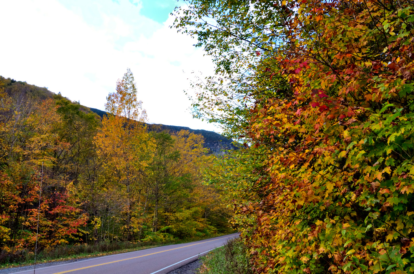
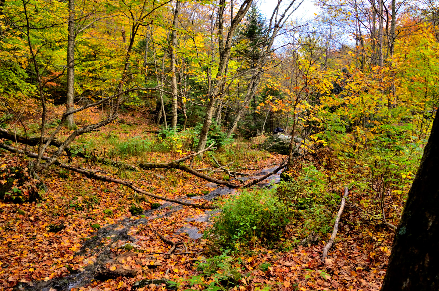
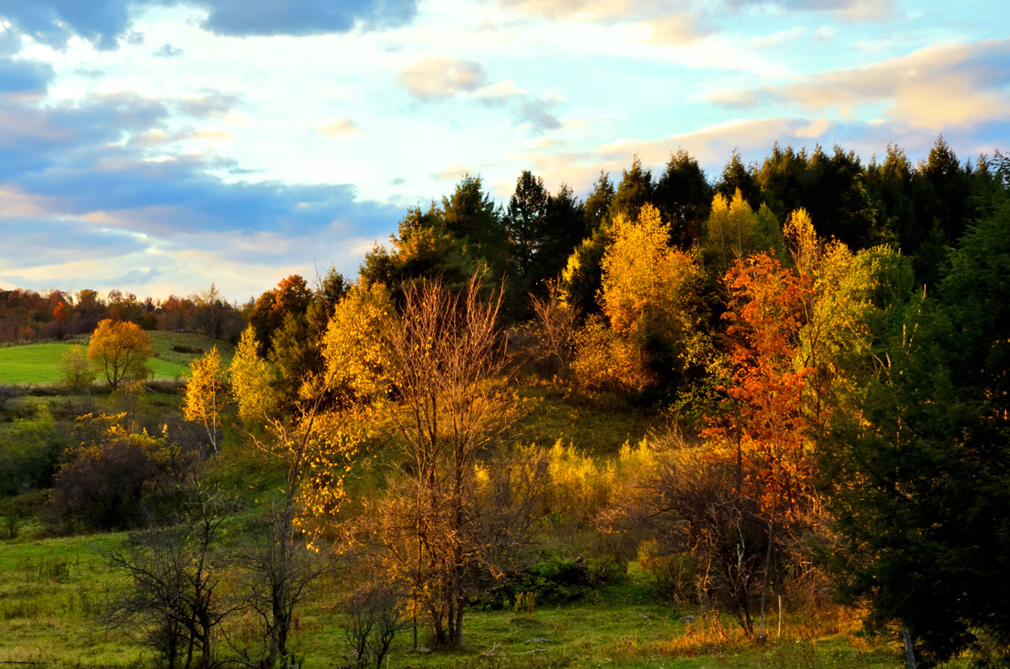
VT 100
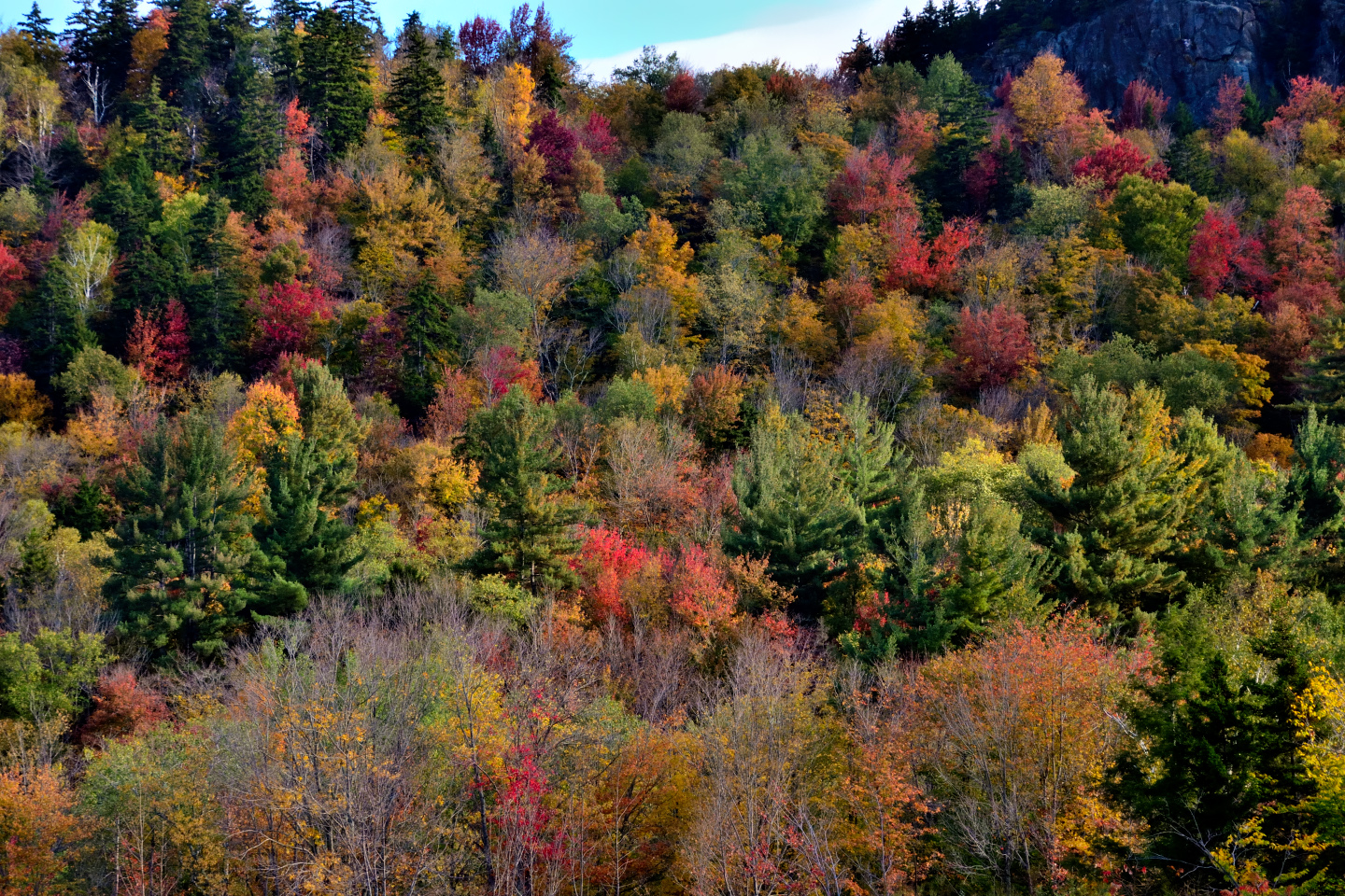
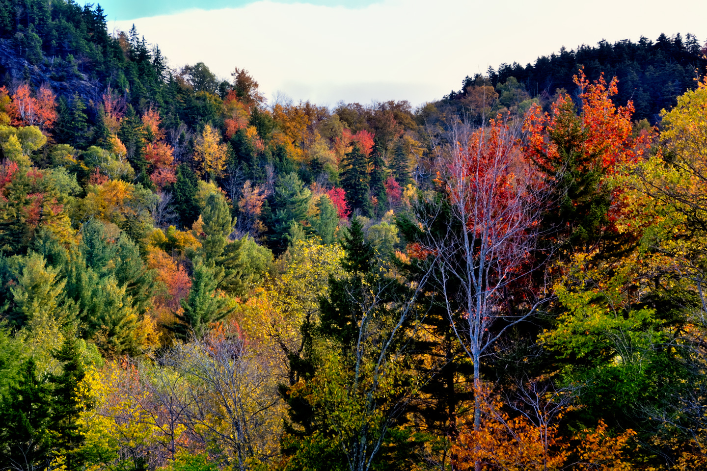
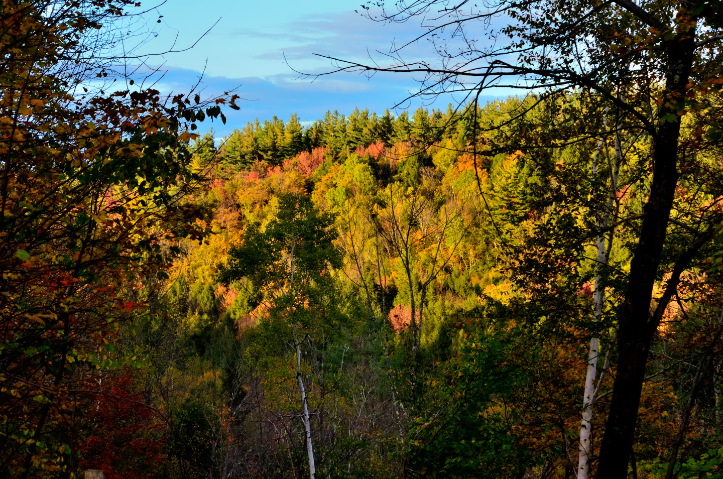
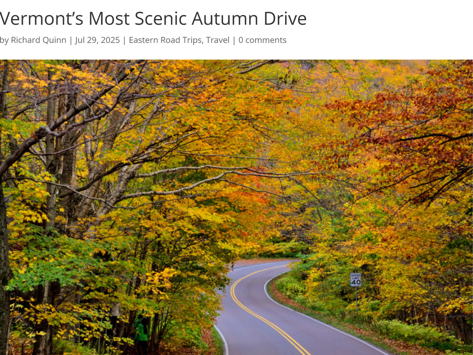
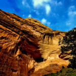
Vermont Route 100 is widely considered the most scenic drive in Vermont, if not in all of New England. The winding, two-lane highway parallels the eastern flanks of the Green Mountains for 216 miles, from the bottom of the state all the way to the top. Along the way the route passes through picturesque villages while cruising up and around forested hills that are ablaze with autumn color. There are mountain vistas, lakes and rivers, waterfalls, farms, and iconic covered bridges, a perfect autumn photo op around nearly every bend in the road. We had a couple of deviations planned, including Smuggler’s Notch, at the northern end (mostly because I was intrigued by the name!) Other than that, it was VT 100 all the way.
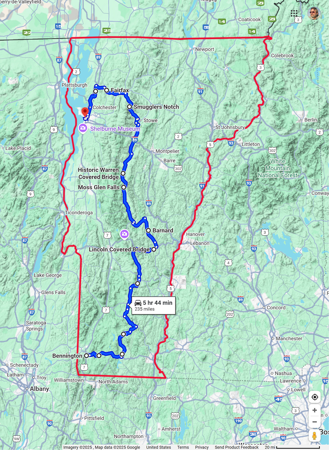
Our route through Vermont, from Bennington to Burlington, mostly on VT 100
CLICK PHOTOS AND MAPS FOR AN EXPANDED VIEW
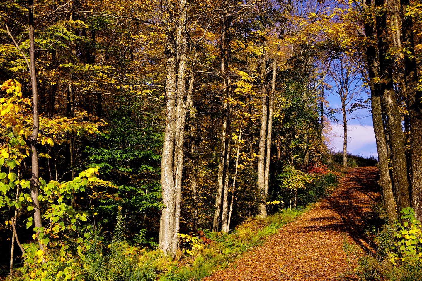
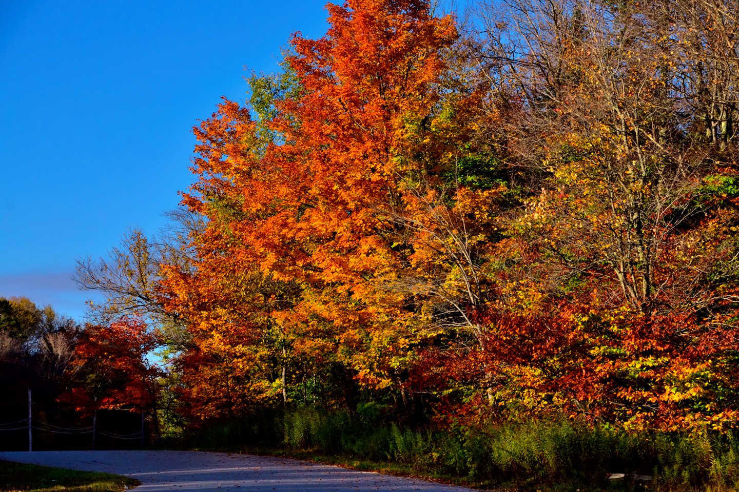
Route 100 was exactly as advertised, and, unlike the previous day, we had plenty of sunshine illuminating the scenery.
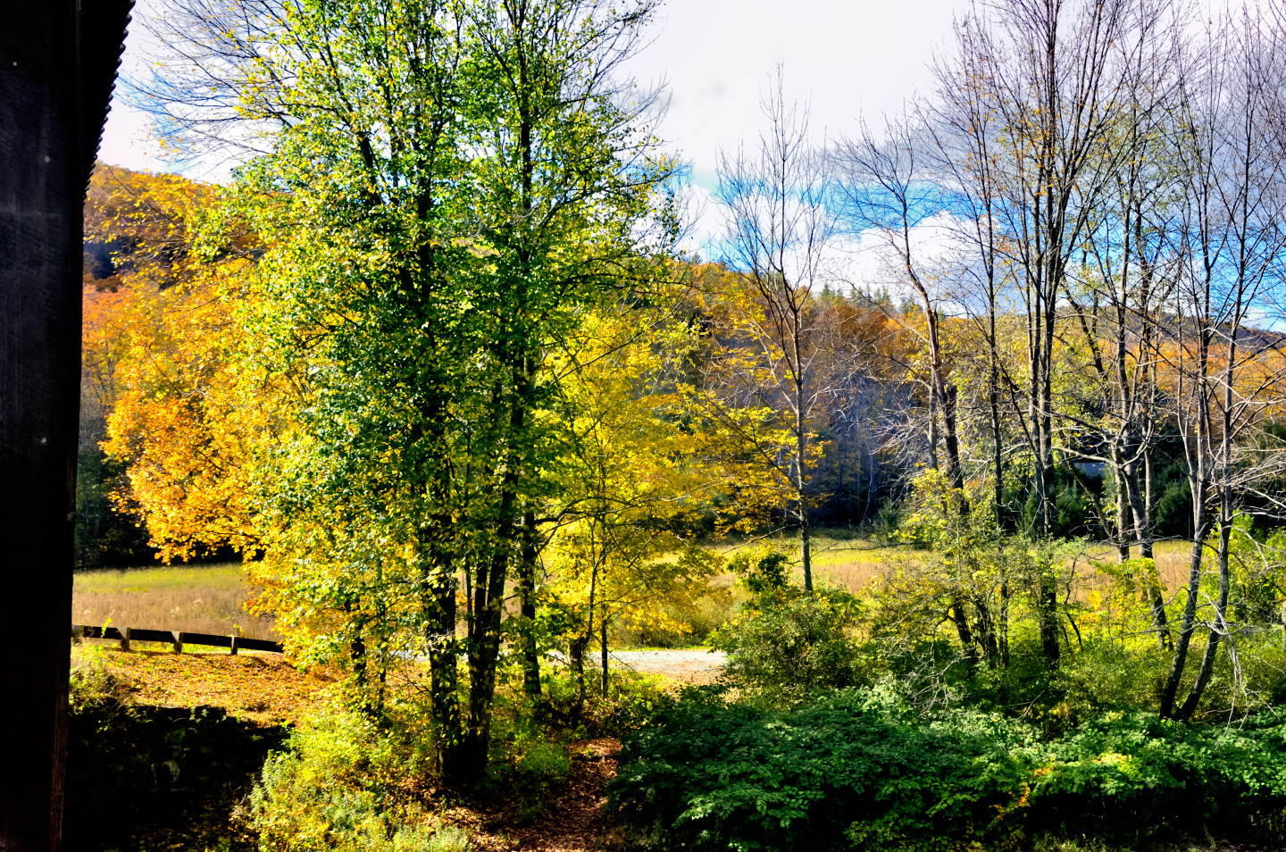
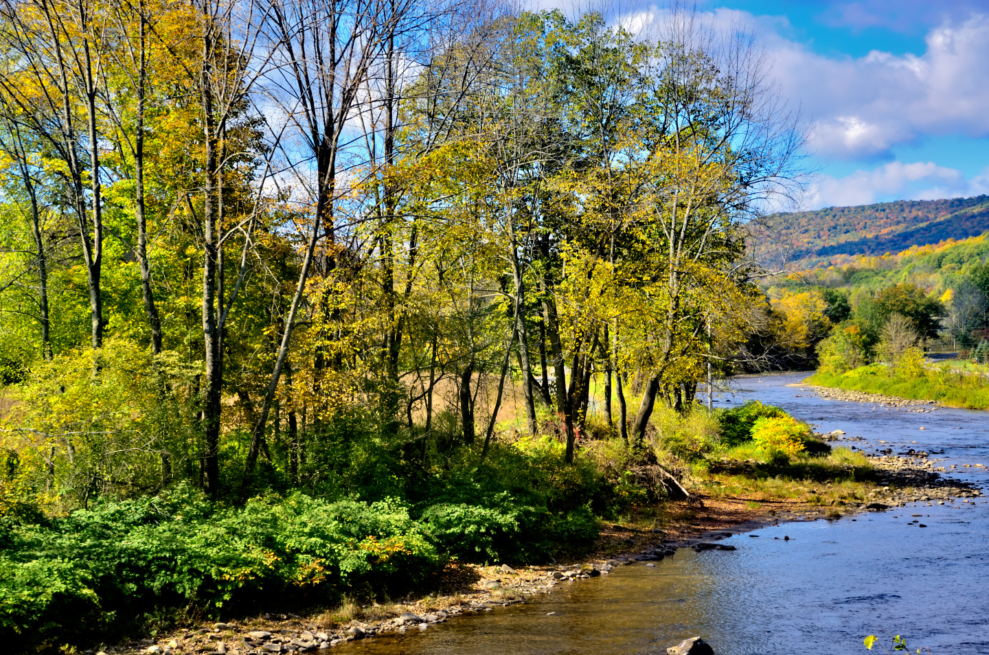
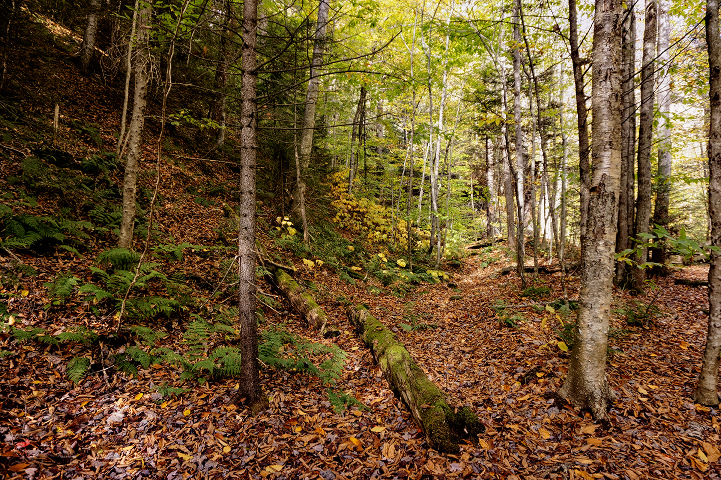
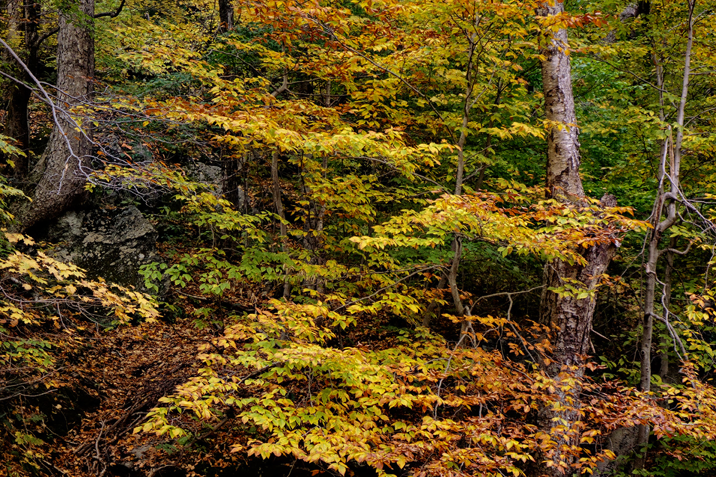
Route 100 is celebrated as one of the best routes in New England for leaf peeping. The variety of trees and uninterrupted swaths of forest provided us with a particularly vivid autumn display. It was easy to see why this drive is so often featured in travel guides as their top pick for an autumn road trip.
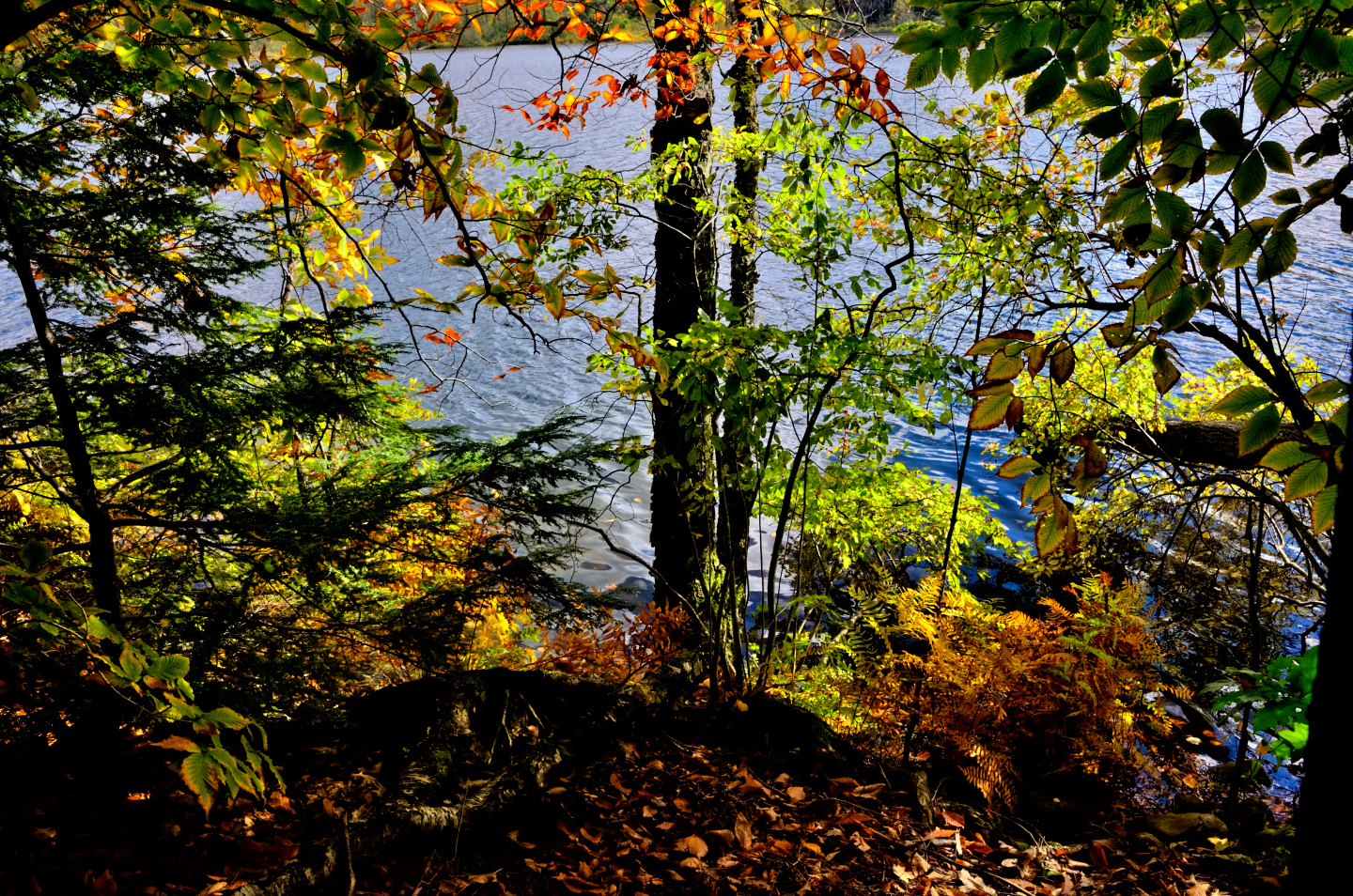
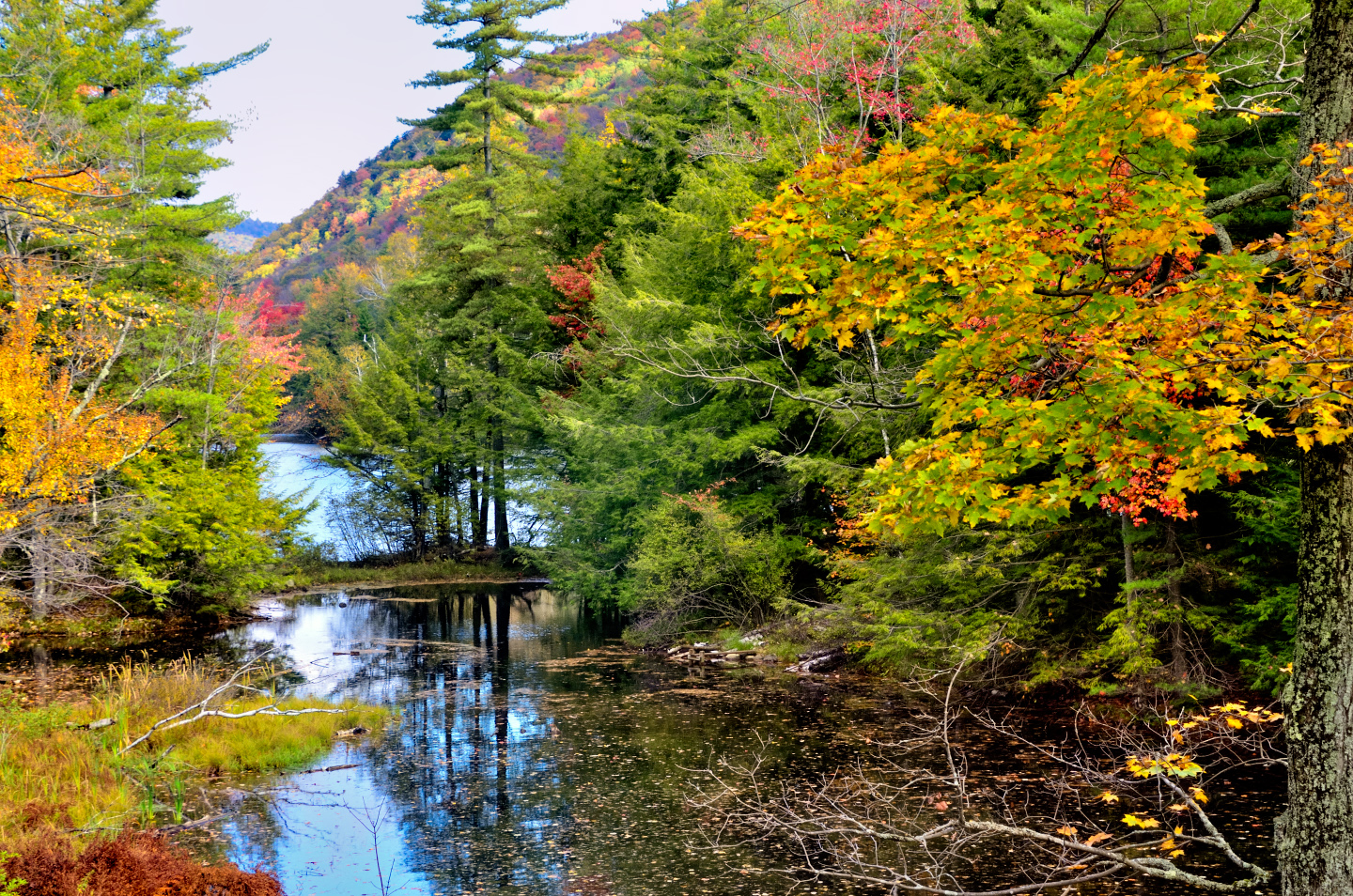
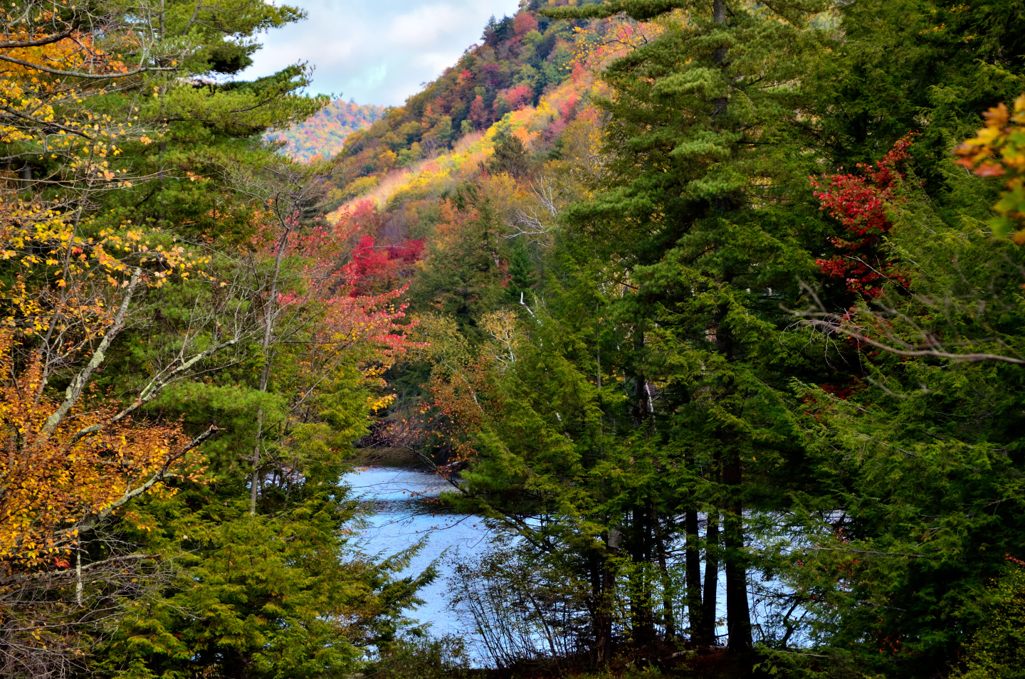
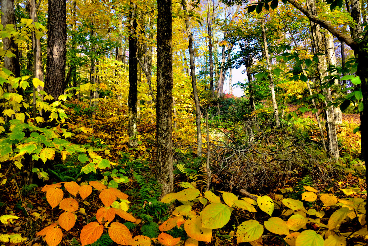
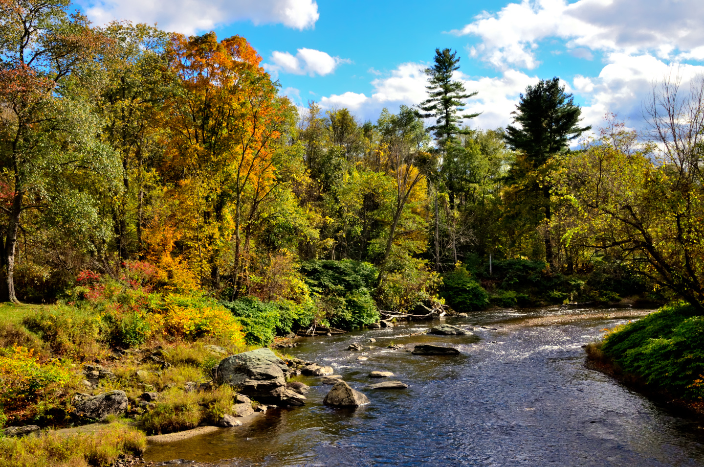
In some areas, the colors were at their peak, while in others the trees were just beginning to turn. The seasonal change is a fleeting phenomenon, and it flows across the landscape in a slowly rippling wave, like a wisp of a breeze through a field of grain.
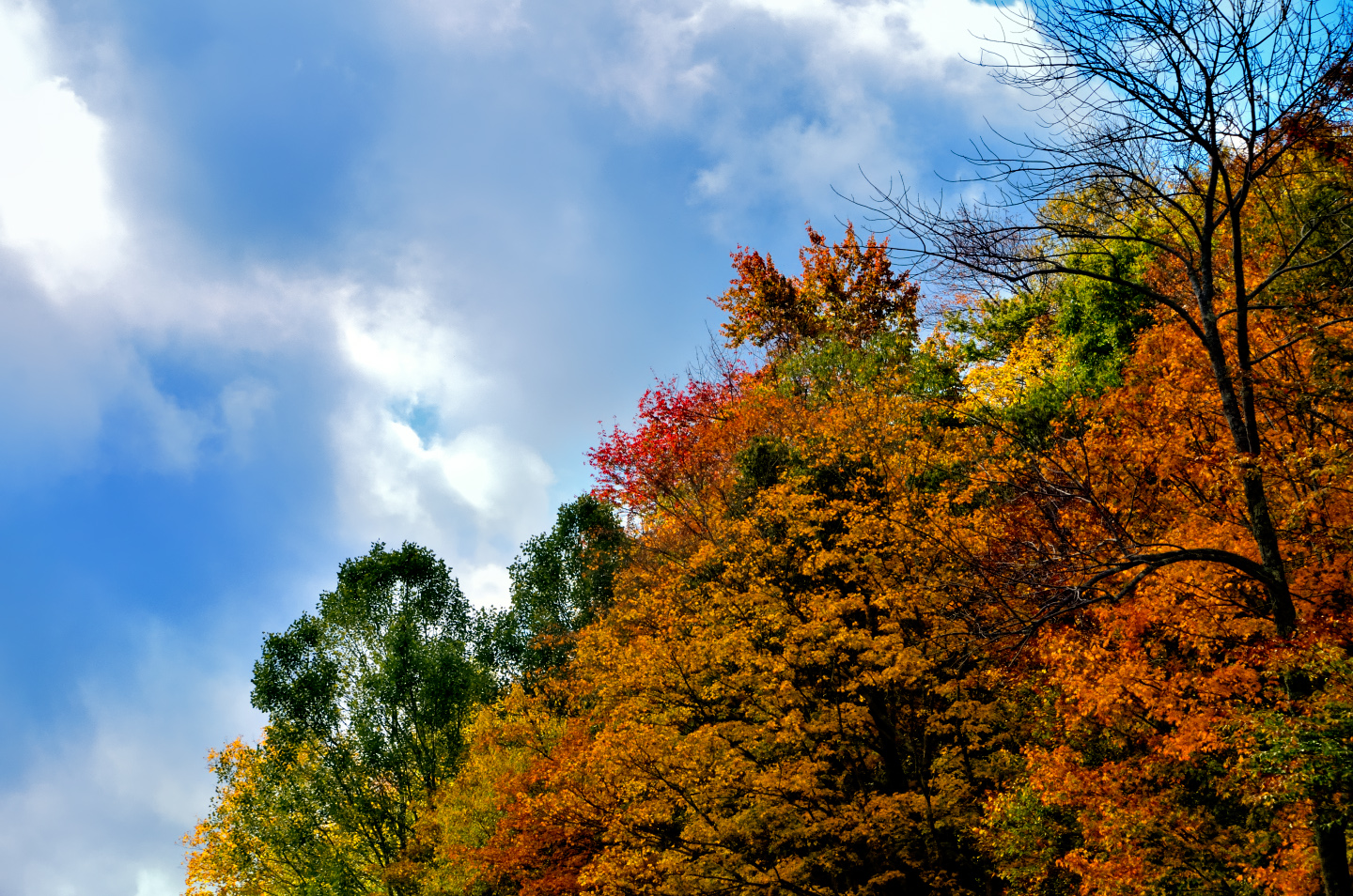
Different hillsides featured different colors, from muted brown and umber to blazing reds, golds, and yellows.
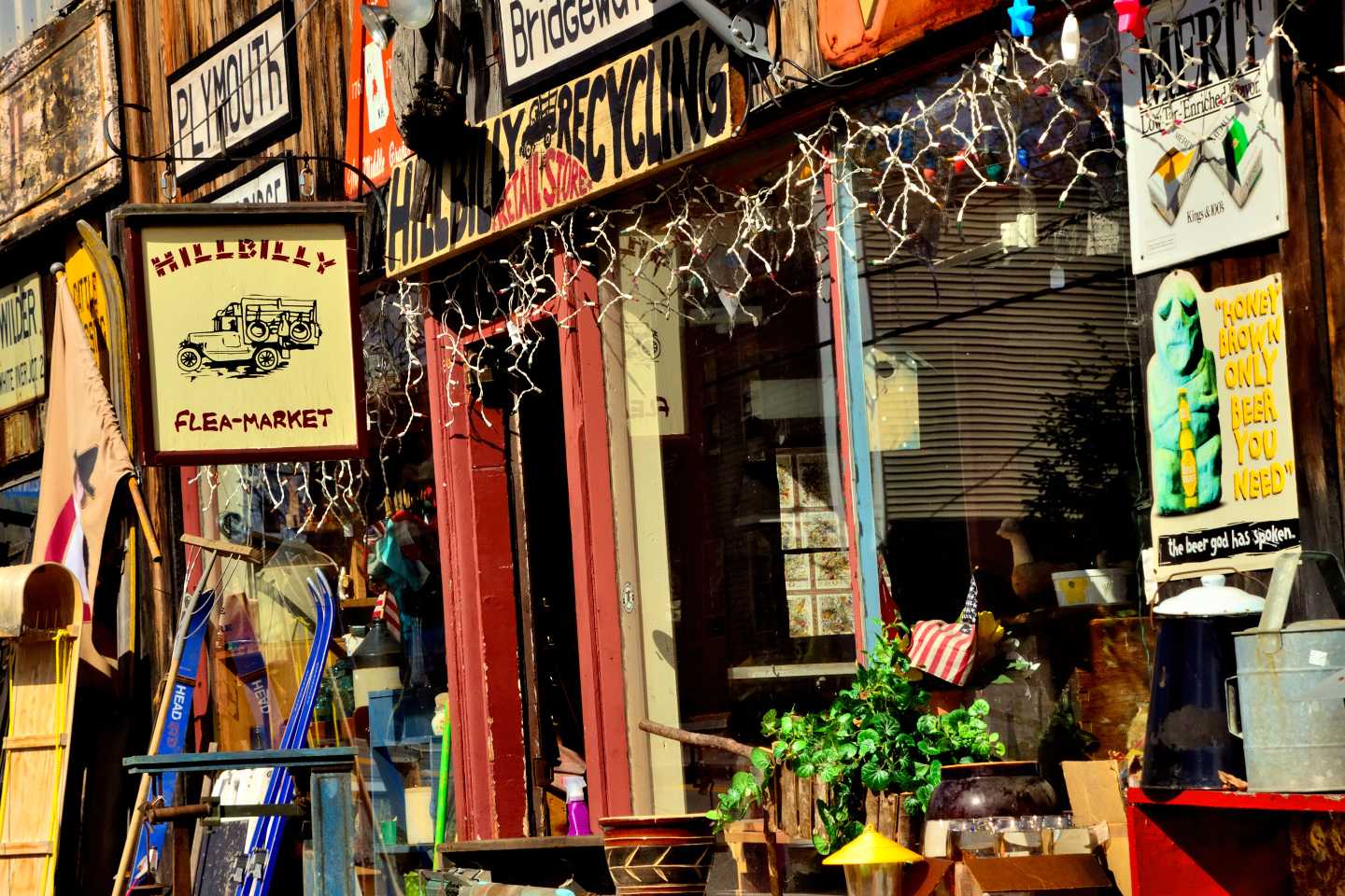
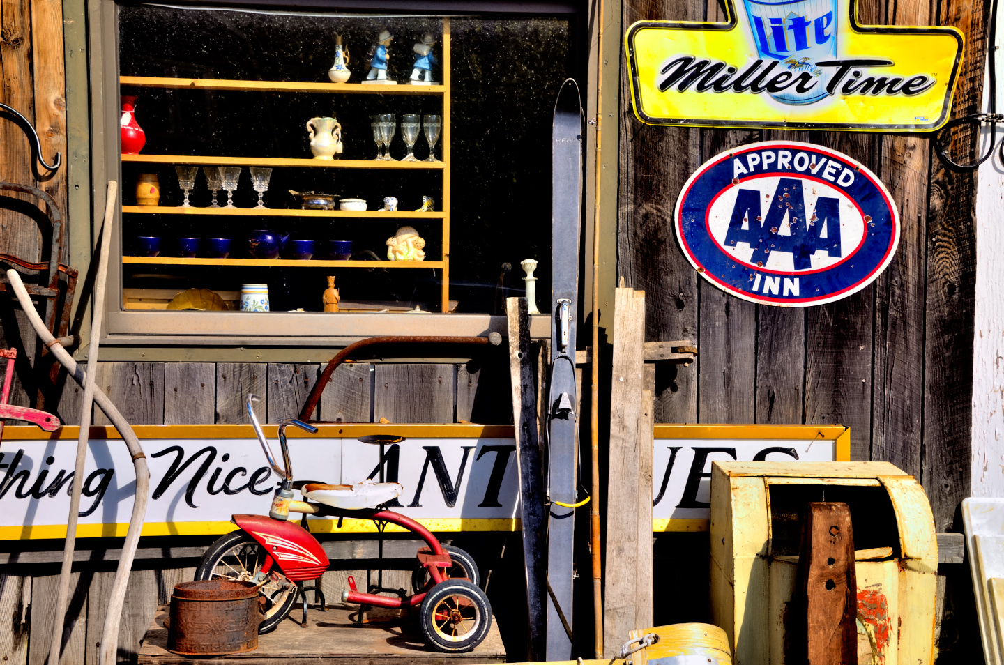
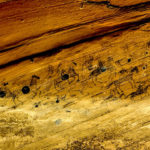
Antique store, Plymouth Notch on VT 100
We spent at least three hours driving the first hundred miles, from the point where Route 9 connected with Route 100 in Wilmington, to the intersection with US 4 near Killington. We took a little detour at that point, and drove east on US 4 as far as Woodstock, where we paused to check out:
The Historic Lincoln Covered Bridge.
The bridge spans 136 feet across the Ottauquechee River and is 18.5 feet wide, carrying a single-lane roadway. The structure consists of two arch trusses with a combination of laminated wood and iron, sheltered by a standing-seam metal roof and vertical plank siding. It underwent major restoration in 1989 to strengthen the supporting timbers and improve load capacity. High-strength steel rods were added for reinforcement, but all such modern upgrades were hidden under the wood siding to maintain the historic appearance of the structure. The most obvious difference between this bridge and the bridges in and around Bennington was the color: it’s NOT RED!
CLICK PHOTOS FOR AN EXPANDED VIEW
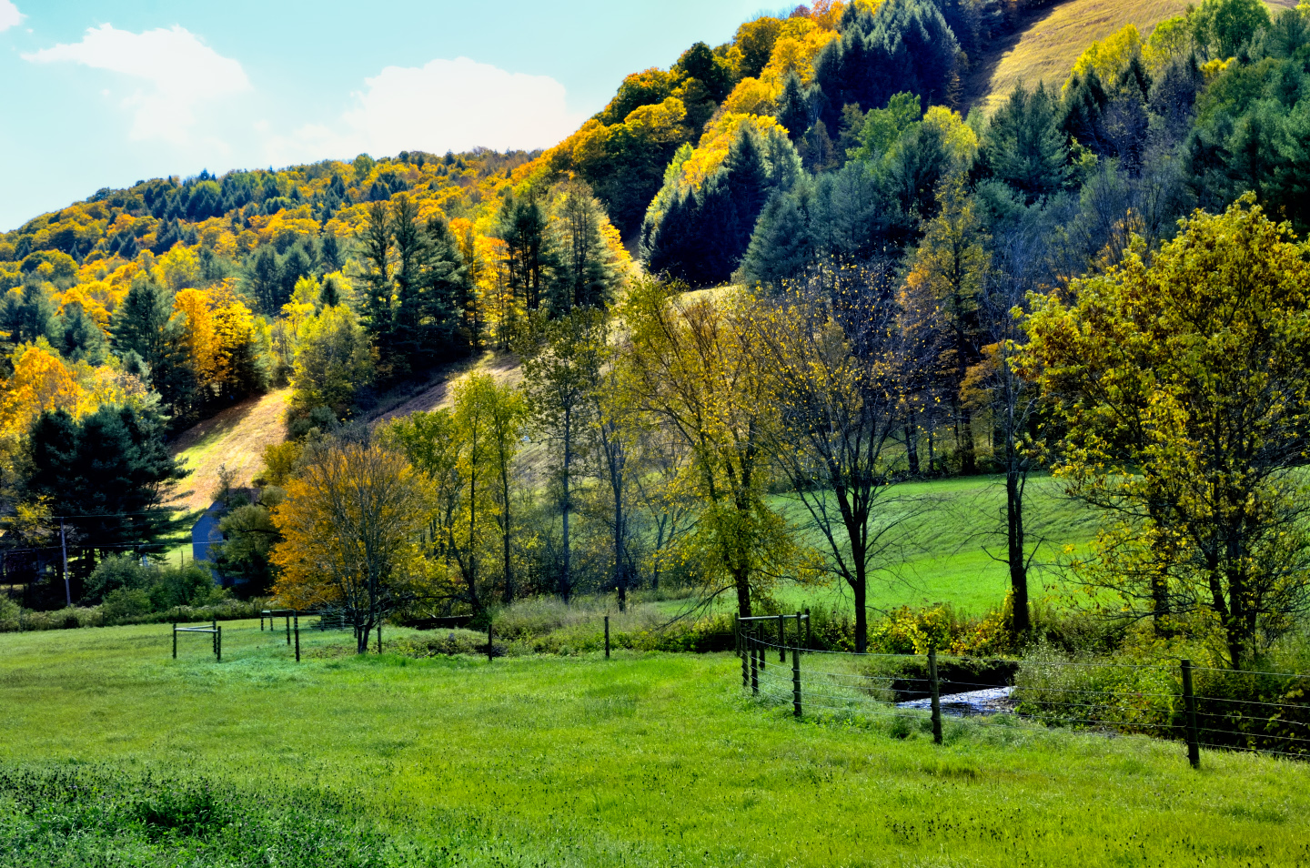
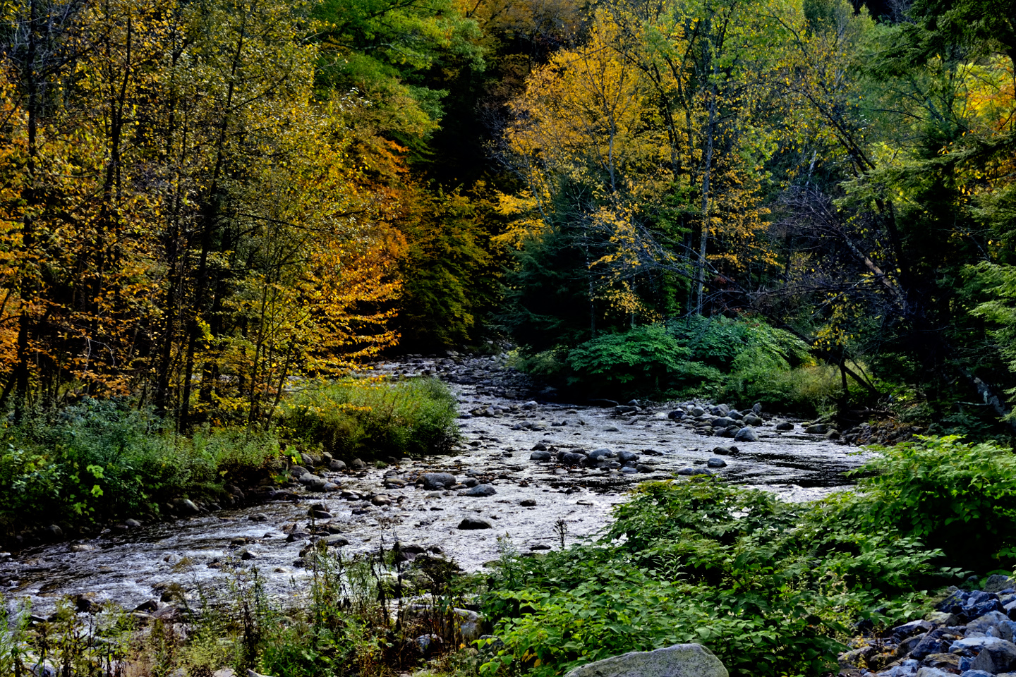
From the town of Woodstock, we turned north on VT 12 and drove ten miles to Barnard, a very pretty area by the shores of Silver Lake, a popular recreation area.
Silver Lake, near Barnard, Vermont
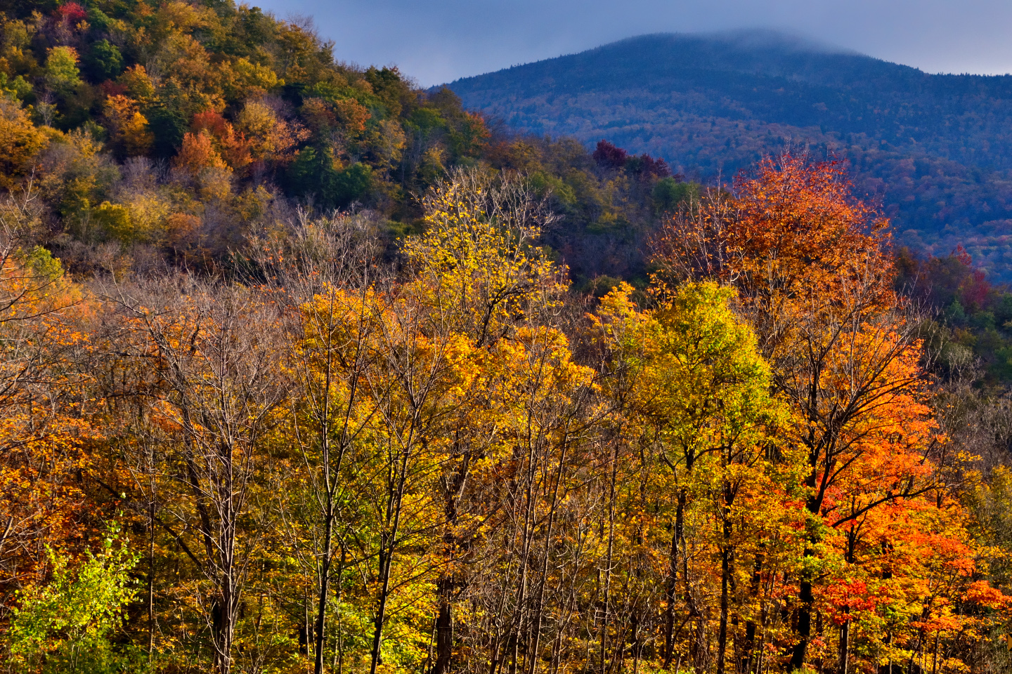
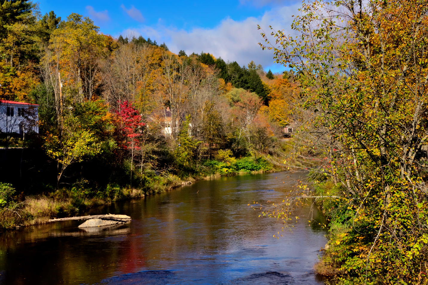
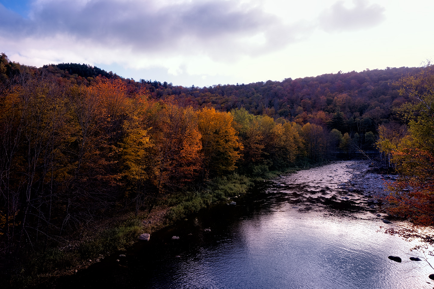
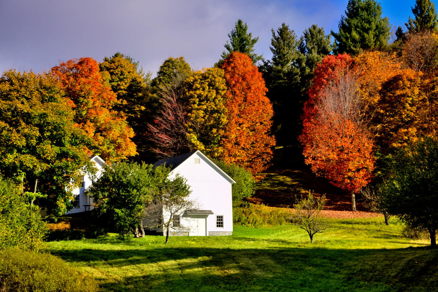
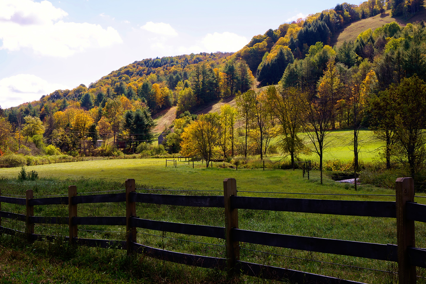
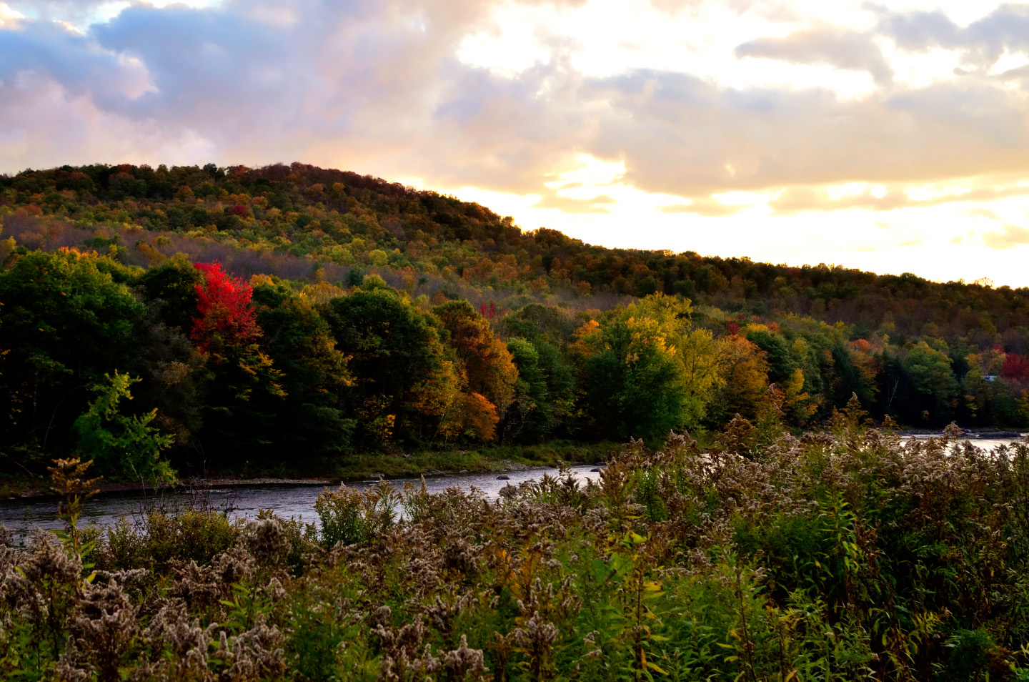
From Barnard, we drove a few miles further north on VT 12, until that route ended at an intersection with VT 107. A couple of miles on that pretty highway took us right back to Vermont Route 100, and the resumption of our northerly peregrinations. The neatly arranged farms and fields gave an orderly appearance to the countryside, as if the whole area was groomed and manicured, a rare instance of a landscape improved by people.
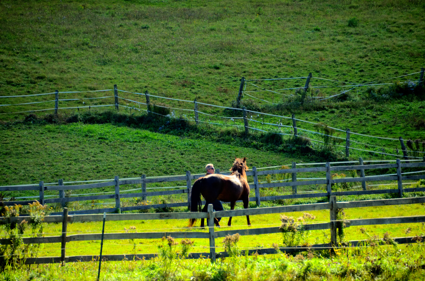
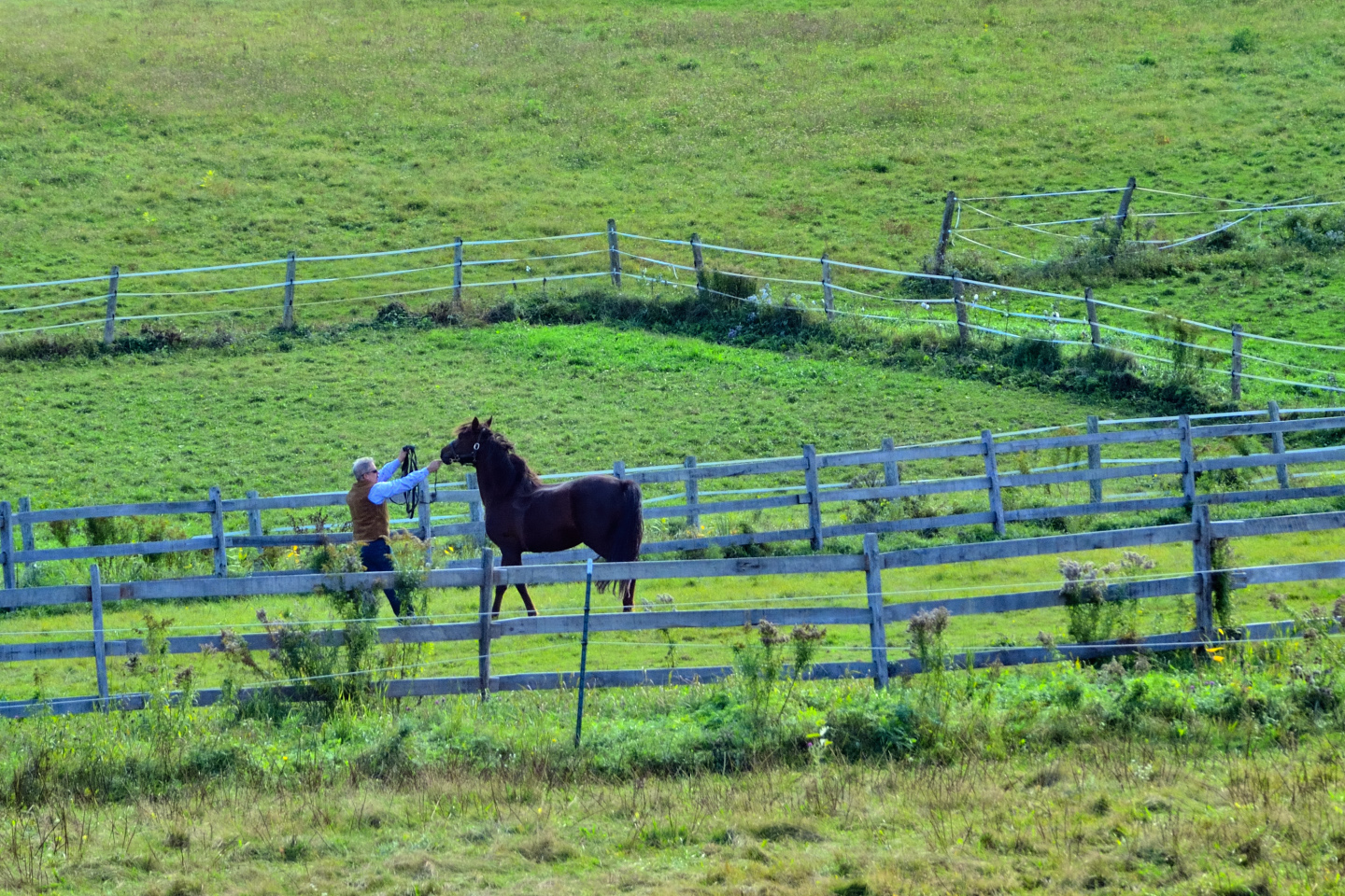
A pastoral scene near Granville Notch, a horse trainer calming an excitable stallion.
Twenty miles further along, we pulled over into a small parking area and checked out our next roadside attraction:
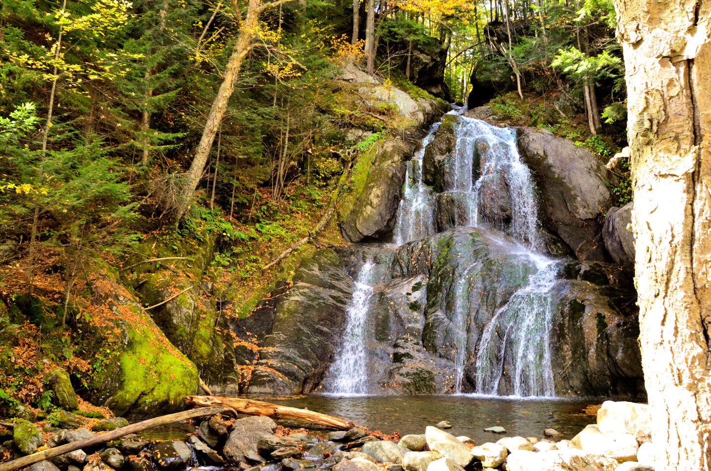
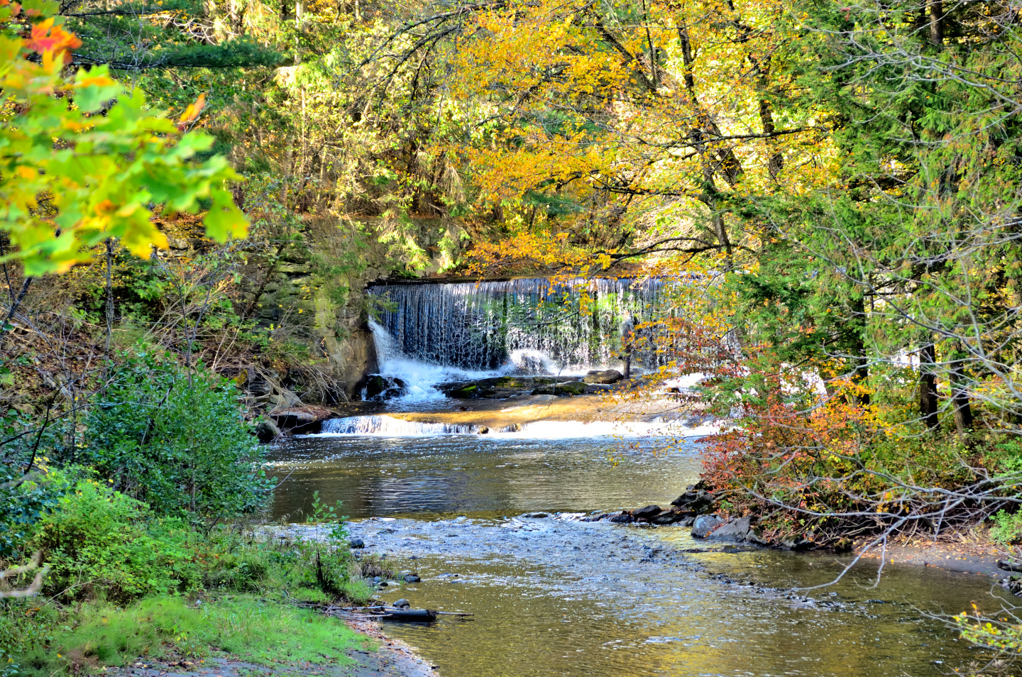
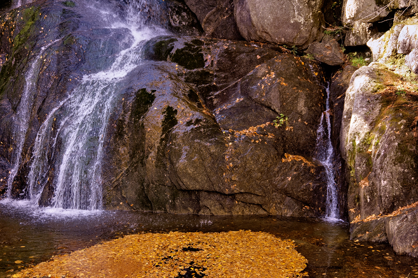
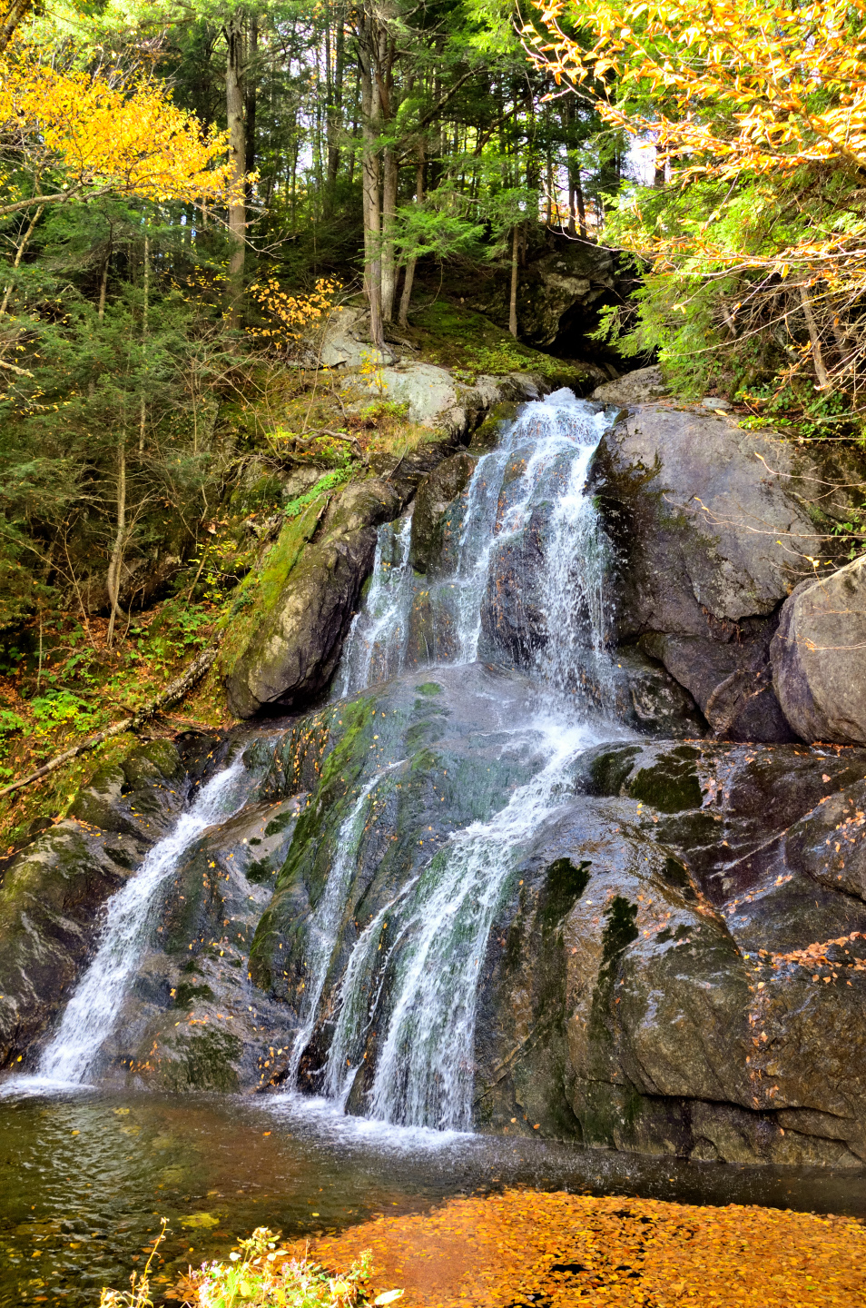
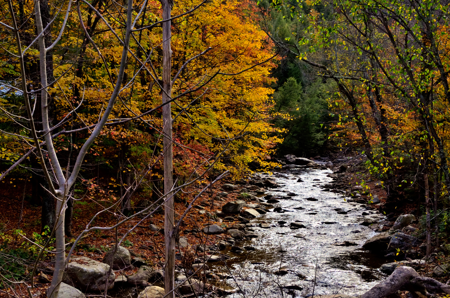
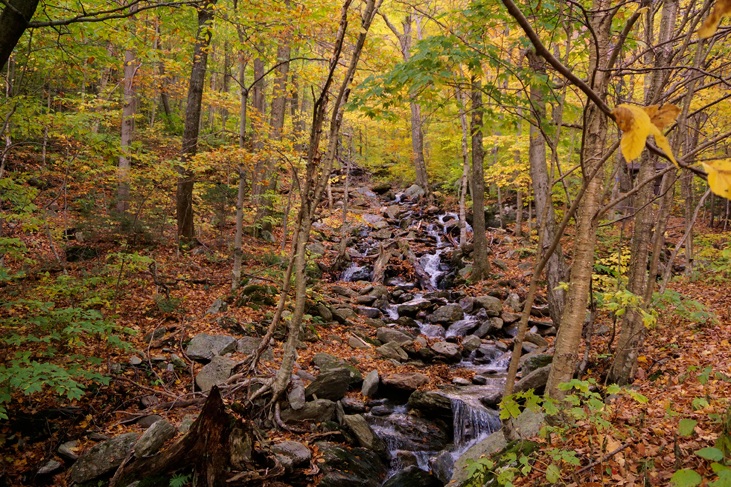
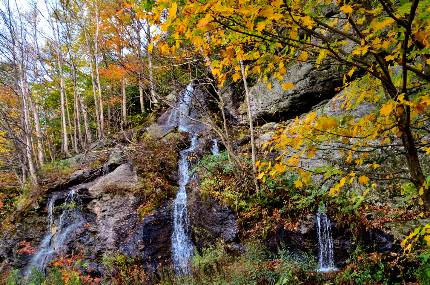
MOSS GLEN FALLS
Just off Vermont Route 100, not far from Granville Notch, there was a pretty little cascade called Moss Glen Falls. This one is often confused with a different, much larger waterfall some forty miles further north, which, as it happens, is also called Moss Glen Falls. To get to the larger waterfall, you have to hike a half mile on a path that can be a bit slippery at the top. To view the smaller version pictured here, all you have to do is pull off the road into the parking area. Big Moss Glen Falls tumbles an impressive 125 feet down a ravine. Little Moss Glen is just 40 feet high, but it’s most definitely worth a stop.
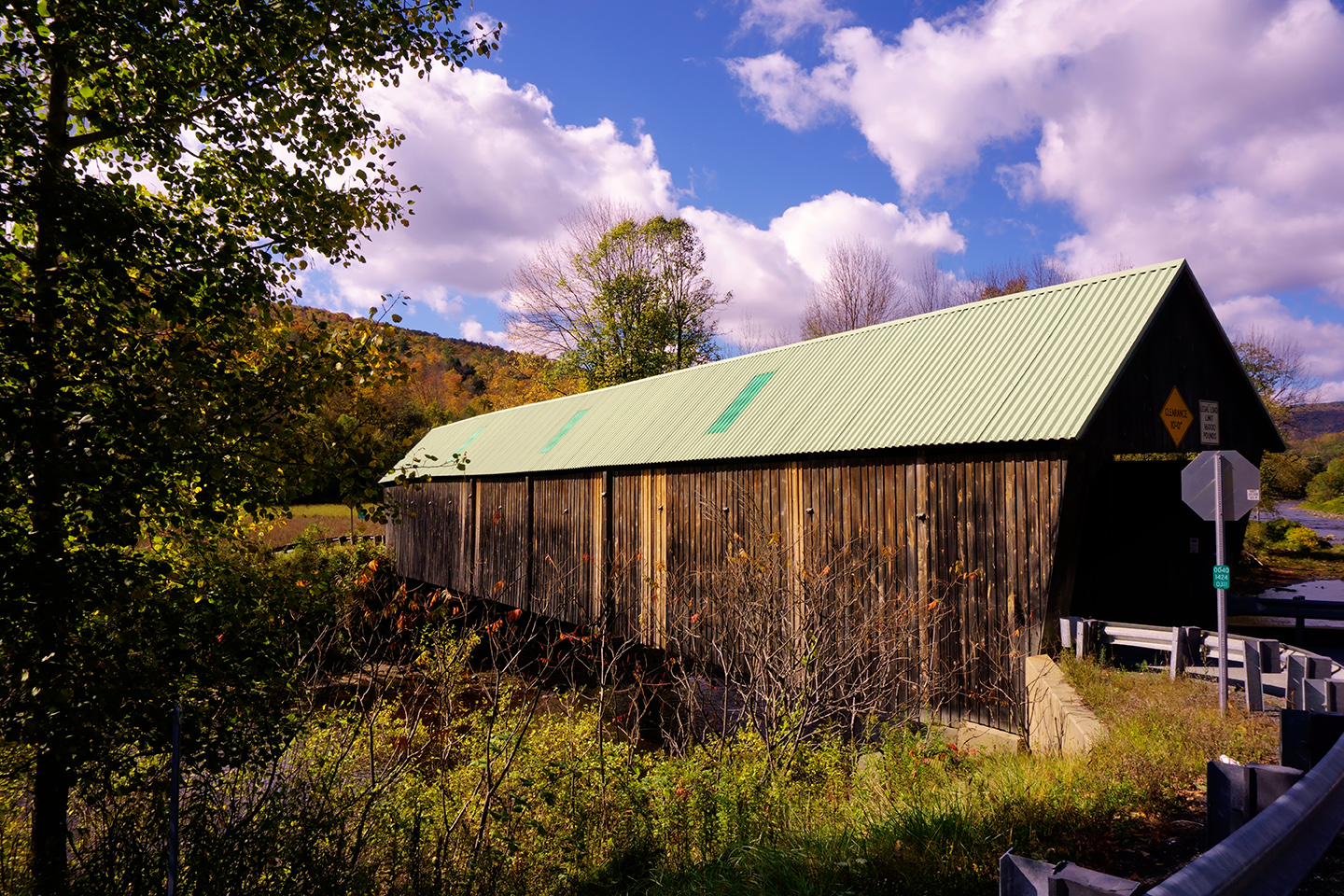
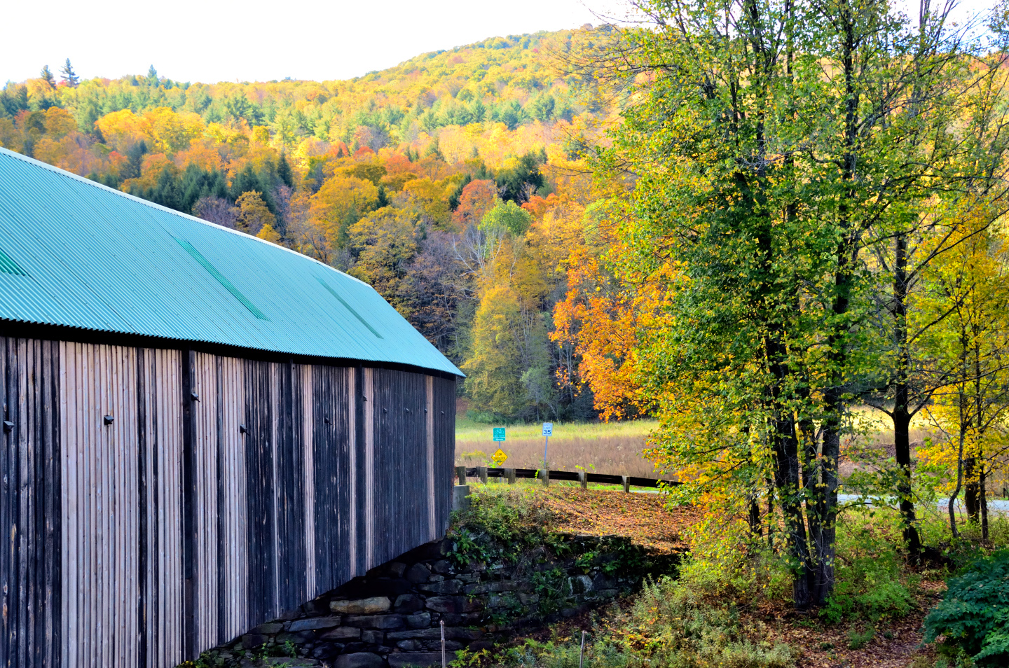
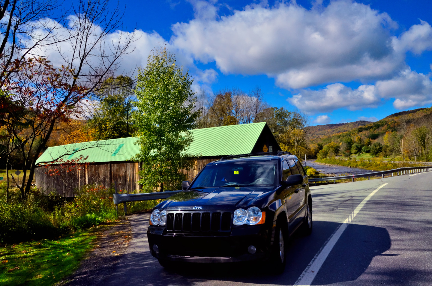
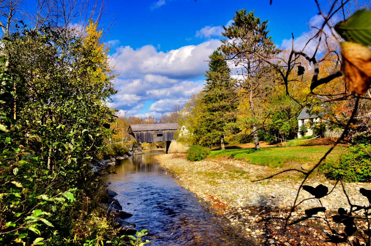
We drove another ten minutes north on Route 100, and spotted an interesting sign pointing off to the right. We followed “Covered Bridge Road” to the banks of the Mad River, where we stopped to admire the:
HISTORIC WARREN COVERED BRIDGE
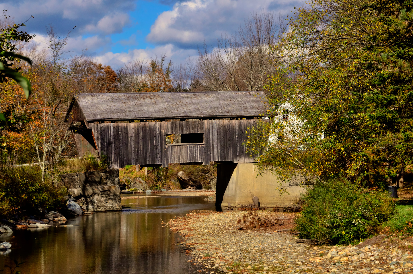
This picturesque wooden bridge was built in 1880 by a local craftsman named Walter Bagley, using the Queen post truss, a traditional but somewhat rare engineering style. This bridge is unique in Vermont for having its trusses covered both inside and outside for extra weather protection. The Warren provides a 60 foot span across the Mad River, just east of Route 100, and it’s sturdier than it looks: it’s open to traffic, and it can handle vehicles up to eight tons! The Warren Covered Bridge was added to the National Register of Historic Places in 1974.
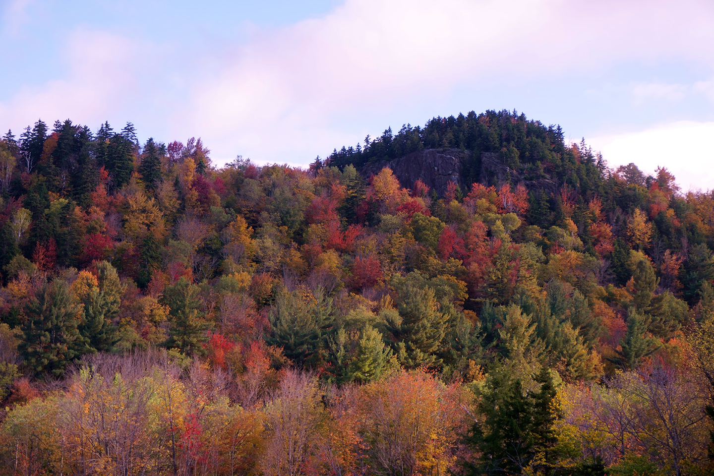
Travelling north toward Stowe, the terrain became more mountainous. This is where we left Route 100 in favor of Route 108, and a drive through:
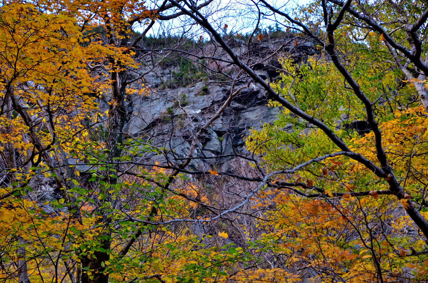
SMUGGLER’S NOTCH
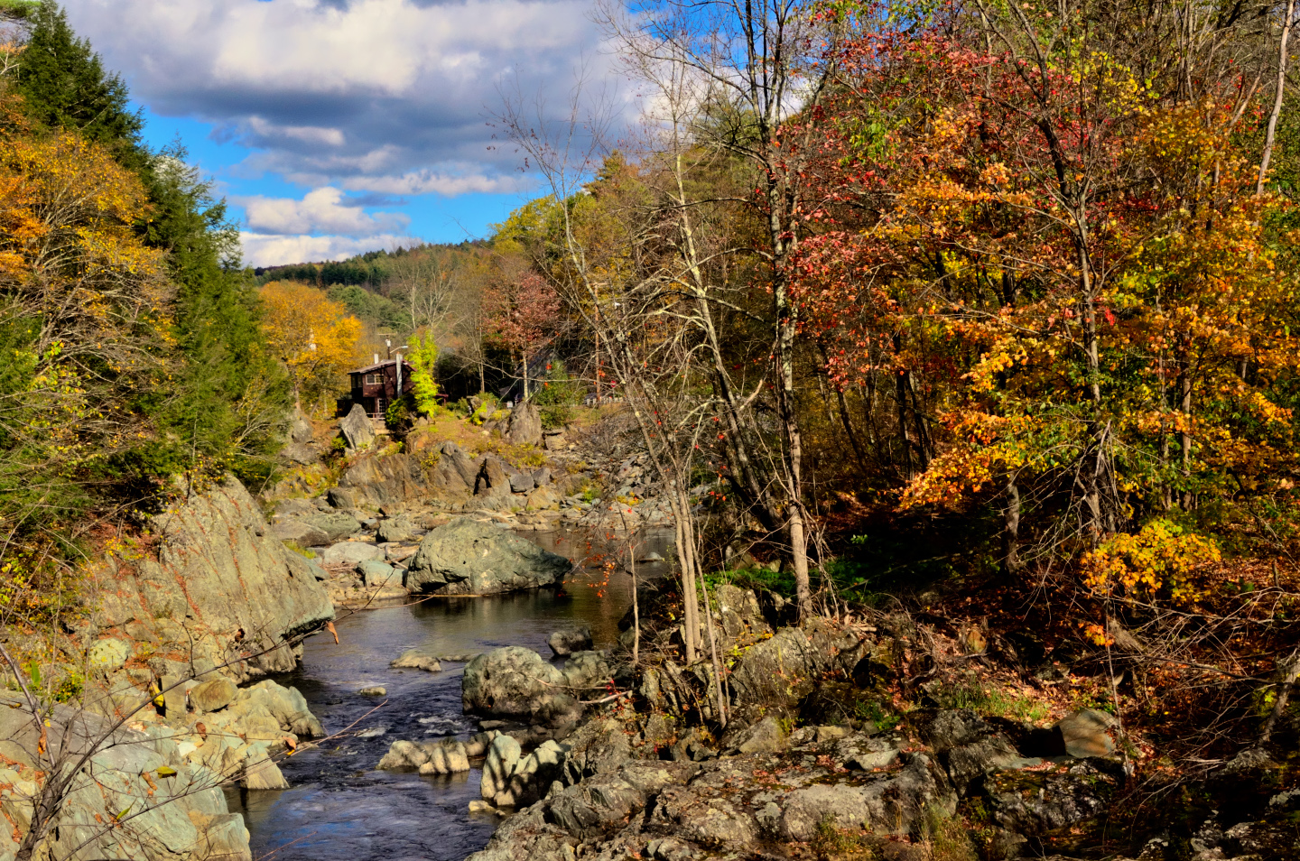
In the Green Mountains of Vermont, a pass between peaks is called a Notch, and this mountain pass, known as Smuggler’s Notch, has a history that informs its name. Less than 40 miles from the border, it was an ideal route for early 19th century smugglers bringing in embargoed goods from Canada, and a hundred years later, during the Prohibition era, the route was reprised by bootleggers bringing in liquor. These days, there isn’t nearly as much smuggling going on, so Smuggler’s Notch has been re-purposed as a popular ski resort. For us, driving through at the peak of the seasonal change, the Notch offered a different blend of scenery, and a different mix of trees on a wonderfully winding road.
At the top of the Notch, the highway cuts through granite cliffs, a literal notch in the wall of old, weathered mountains .
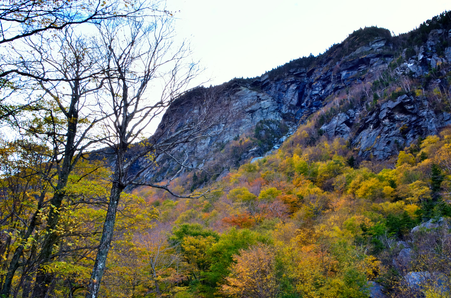
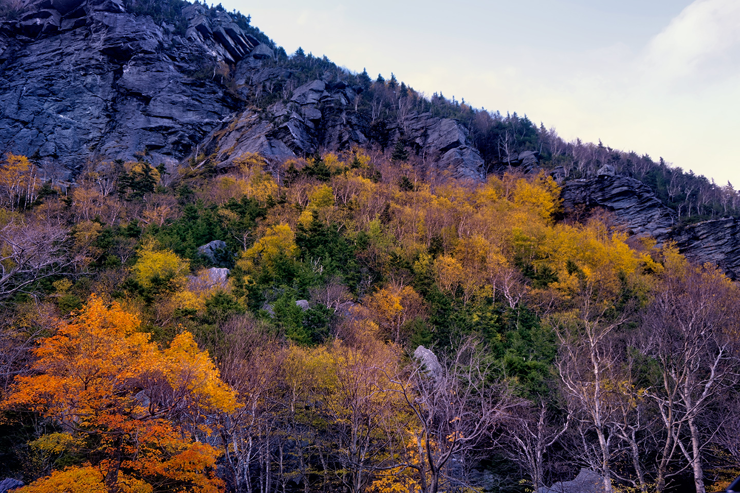
There are waterfalls alongside the road, stupendous views wherever there is open space, and more autumn color than our eyes could absorb. All in all, this was a VERY worthwhile deviation off the famous Route 100!
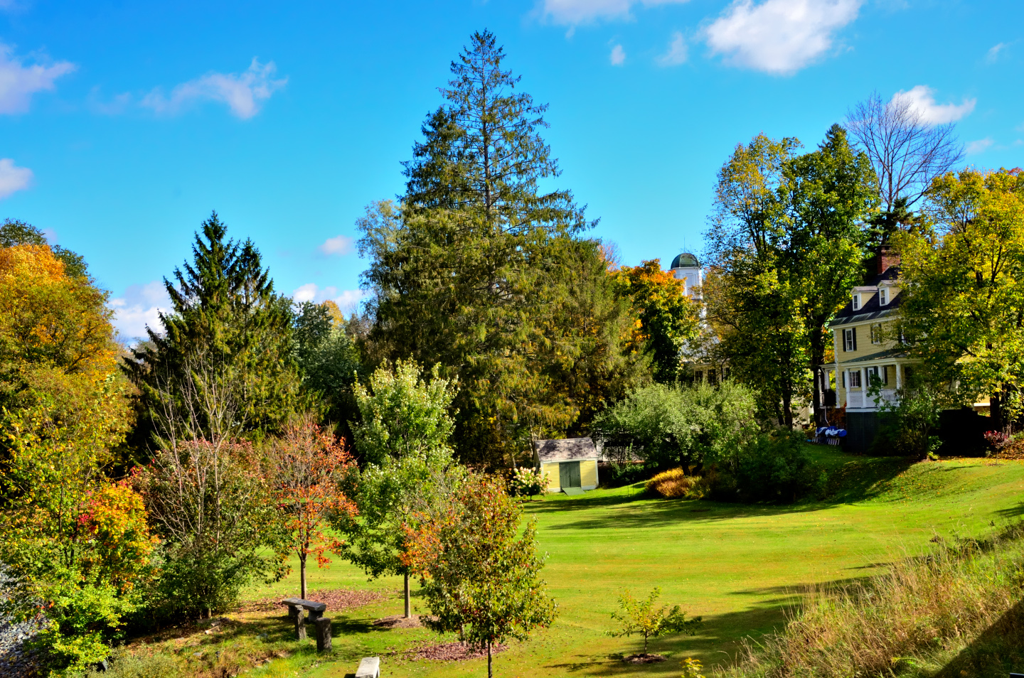
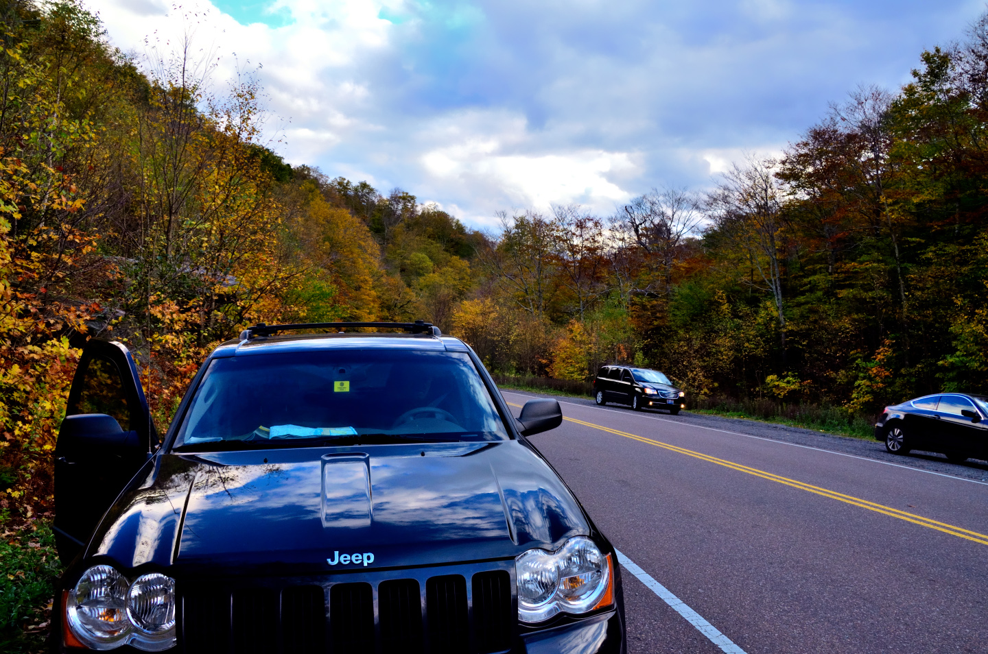
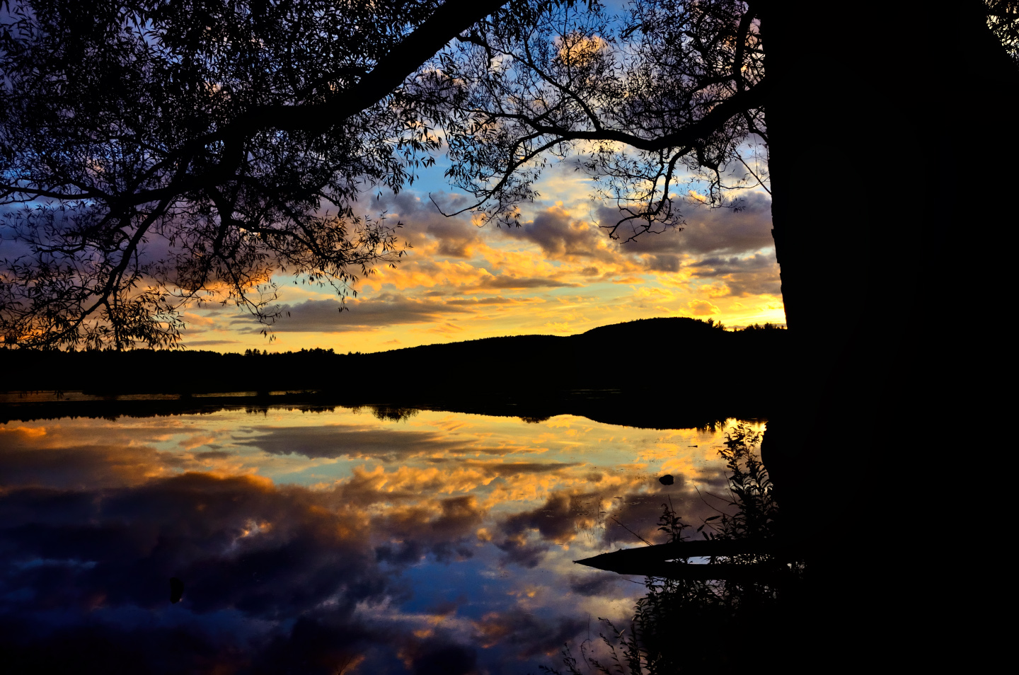
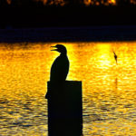
It was getting close to the end of the day as we crested the Notch and came down the other side. We’d decided on Burlington as our best bet for finding reasonable lodging with no reservations. Our timing for this trip, the first week of October, was a little bit early for the peak of the Autumn color, but if we had waited, we would have experienced the peak of the leaf-peeping crowd, when Route 100 turns into a conga-line of cars, every wide spot in the road clogged with gawkers. By coming early, the crowd on the road was minimal.
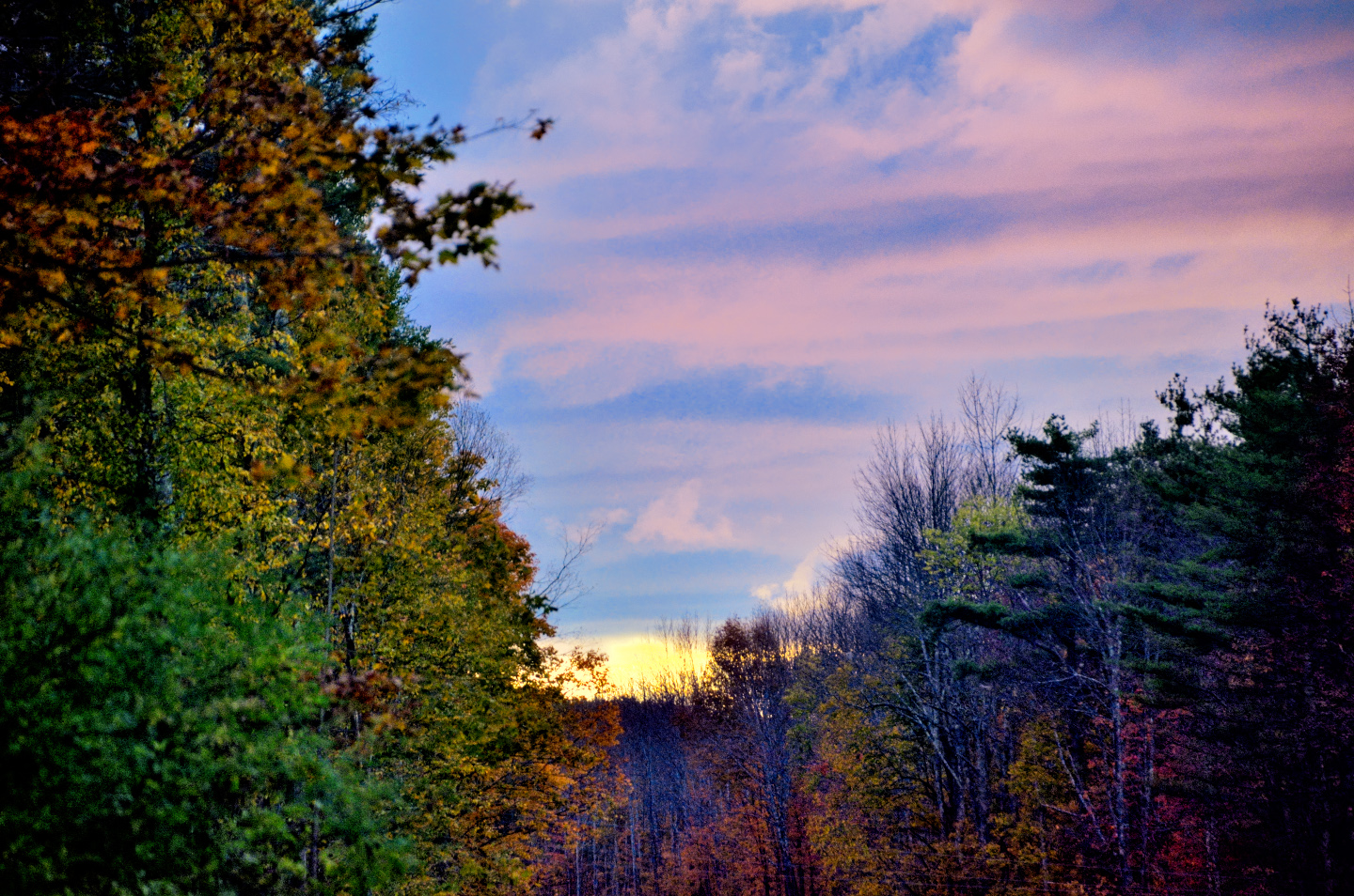
Sun going down over Smugglers Notch
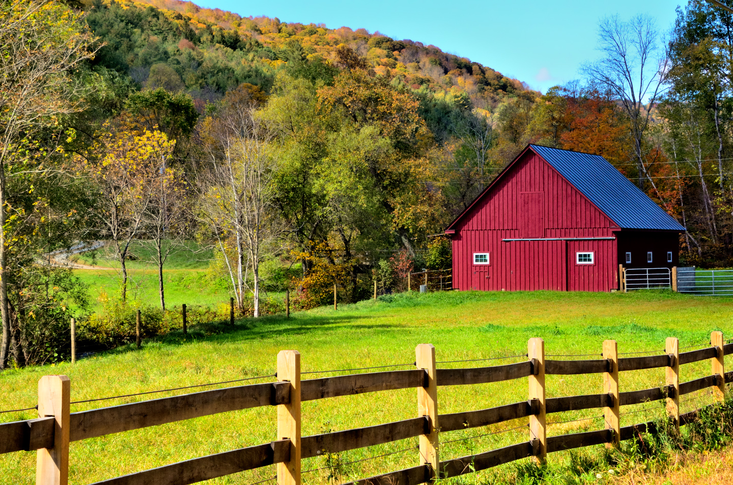
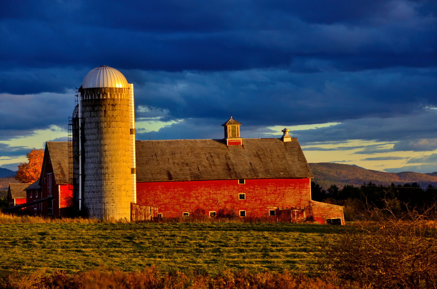
Coming down off the mountain on Route 108, we connected with Route 104 in the little own of Cambridge, and we followed that west toward Fairfax. This was a VERY pretty drive! We passed by a farm with a perfect red barn, and when we reached US 7, we turned south toward Burlington.
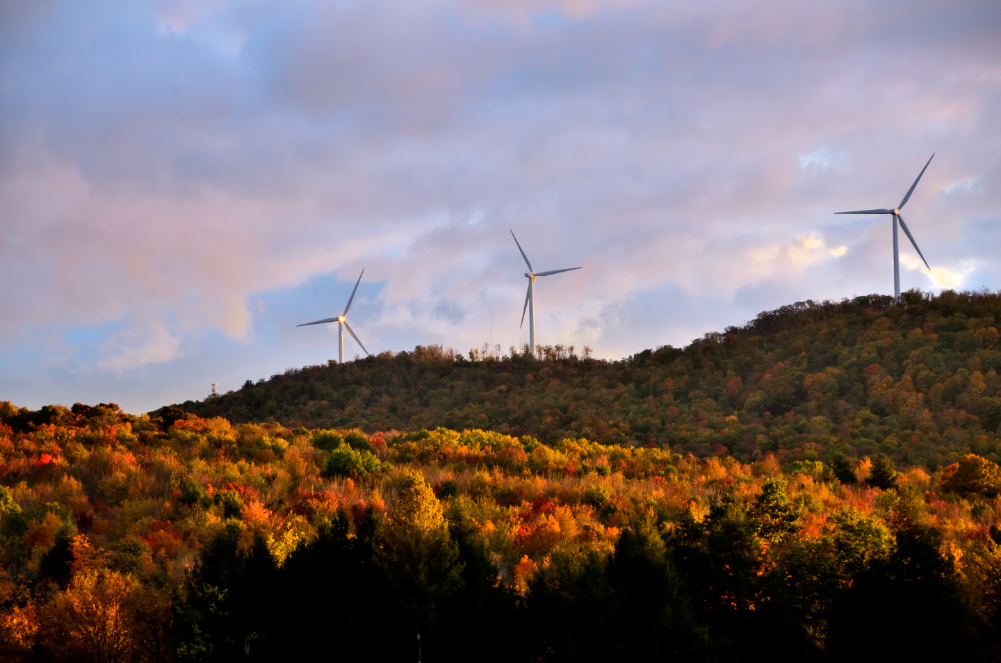
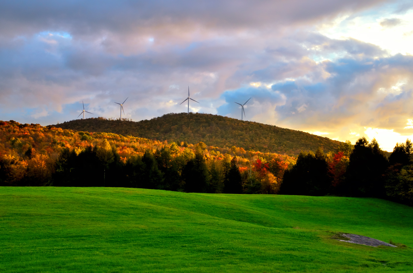
There were power-generating windmills on the hill tops that did not seem the least bit out of place. Vermonters tend to be more environmentally conscious than most, so clean energy technologies (like windmills) are popular here.
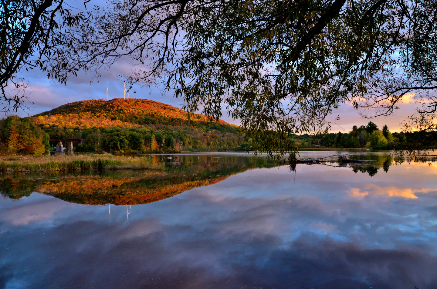
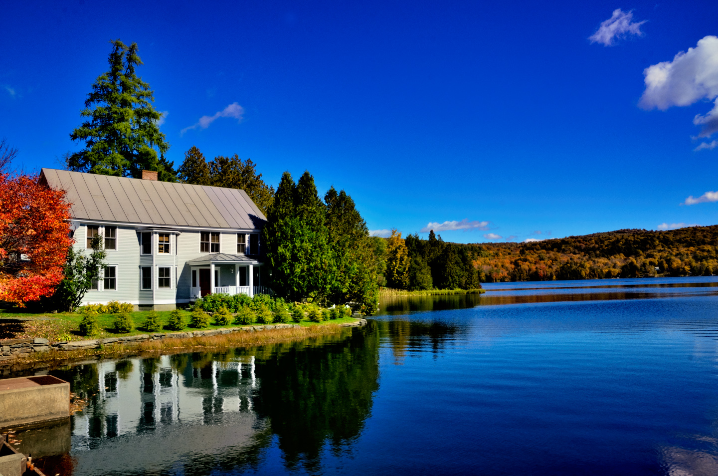
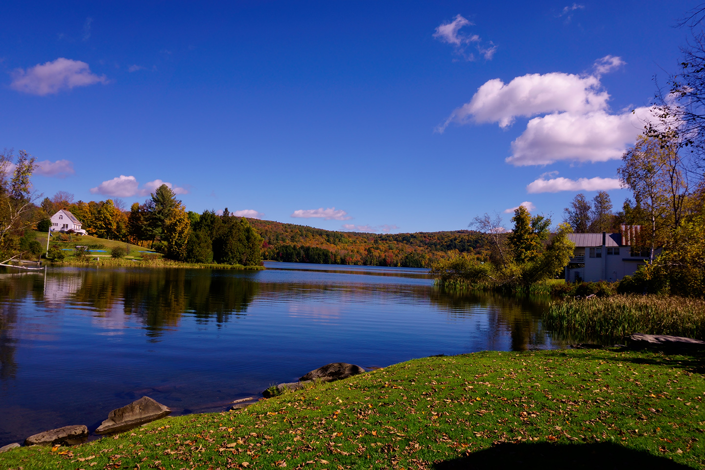
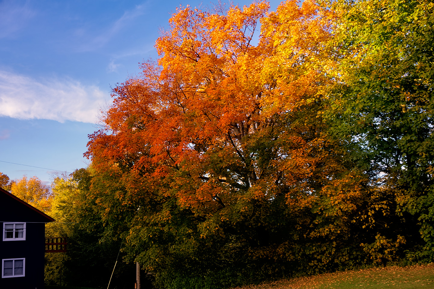
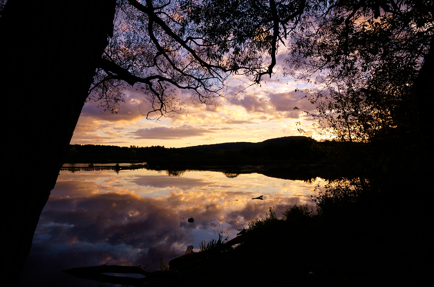
At the end of our drive, just before Burlington, I spotted a scene beside the road that screamed “Stop! Right here! Take my picture!” So I did just that:
Our Road Trip on Vermont’s Most Scenic Autumn Drive was nothing short of spectacular. When combined with our tour of the Covered Bridges of Bennington, our itinerary was perfect for the purpose, and I was able to check that box (Photograph the Autumn Leaves in New England), with a very big smile on my face.
If you missed it, you should check out my previous post: Vermont Road Trip: The Covered Bridges of Bennington
Click any photo in this post to expand the image to full screen.
EASTERN ROAD TRIPS
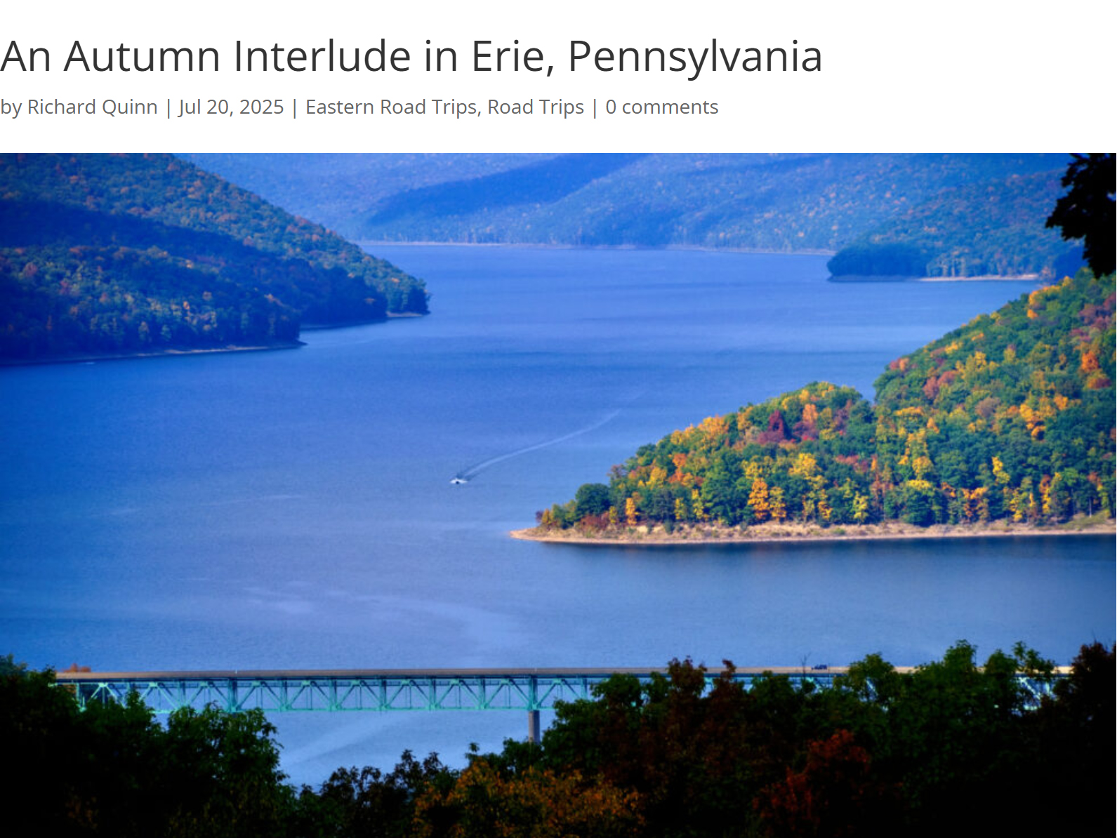
In Erie, Pennsylnania the natural world has been reclaiming lost territory: there are wetlands edging out those old shuttered factory sites, beautiful beaches on the shore of Lake Erie, a State Park (Presque Isle) offshore from the old port facilities, and creeks flowing into the big lake that are world class locations for catching Steelhead Trout.
The six New England states, taken together, support more than 28 million acres of dense, mature forests. Some of it is evergreen, but most of it is deciduous, so, come the fall, you have more than ten BILLION trees changing color and losing their leaves, all over the course of a couple of weeks.
Route 100 is celebrated as one of the best routes in New England for leaf peeping. The variety of trees and uniterrupted swaths of forest provided us with a particularly vivid autumn display. It was easy to see why this drive is so often featured in travel guides as their top pick for an autumn road trip.
WASHINGTON D.C. FOR PHOTOGRAPHERS

Each weekend I’d focus on a different monument, and I’d shoot them from every conceivable angle, before, during, and after the golden hour of the sunrise. Why the weekend? Because, grasshopper, on weekend mornings, there are no commuters, so there is no traffic, no parked cars, no people in the way of your photo shoot!
<<CLICK to Read More!>>

The slightly elevated position of the Lincoln Memorial gives photographers a clear line of sight from every vantage point, with a multitude of options for interesting compositions. But if you want the very best light, and the smallest crowds, you're going to have to get out there at sunrise!
<<CLICK to Read More!>>

As a subject for photographers, the Jefferson has it all: columns and curves, sculpture, carved inscriptions, a dome! The Tidal Basin serves as a reflecting pool, and, for a couple of weeks every spring, the whole business is surrounded by flowering cherry trees.
<<CLICK to Read More!>>

Shoot the flower buds when they first emerge, shoot them again when they're in full florescence, and if you can swing it, one last time when they start to drop, and you have pink petals falling around you like rain...
<<CLICK to Read More!>>

There's nothing like a good road trip. Whether you're flying solo or with your family, on a motorcycle or in an RV, across your state or across the country, the important thing is that you're out there, away from your town, your work, your routine, meeting new people, seeing new sights, building the best kind of memories while living your life to the fullest.
Are you a veteran road tripper who loves grand vistas, or someone who's never done it, but would love to try? Either way, you should consider making the Southwestern U.S. the scene of your own next adventure.
A few years ago I wrote a book about road trips in Arizona and New Mexico that's a lot like this website, packed with interesting information, and illustrated with beautiful photographs. Check it out! You can find it on Amazon, and at all other major booksellers.

ALASKA ROAD TRIP:
MEXICAN ROAD TRIP (IN THE LAND OF THE MAYA):
ARIZONA AND NEW MEXICO:
SOUTH AMERICA:
PHOTOGRAPHY:
TRIBAL LANDS:


Recent Comments