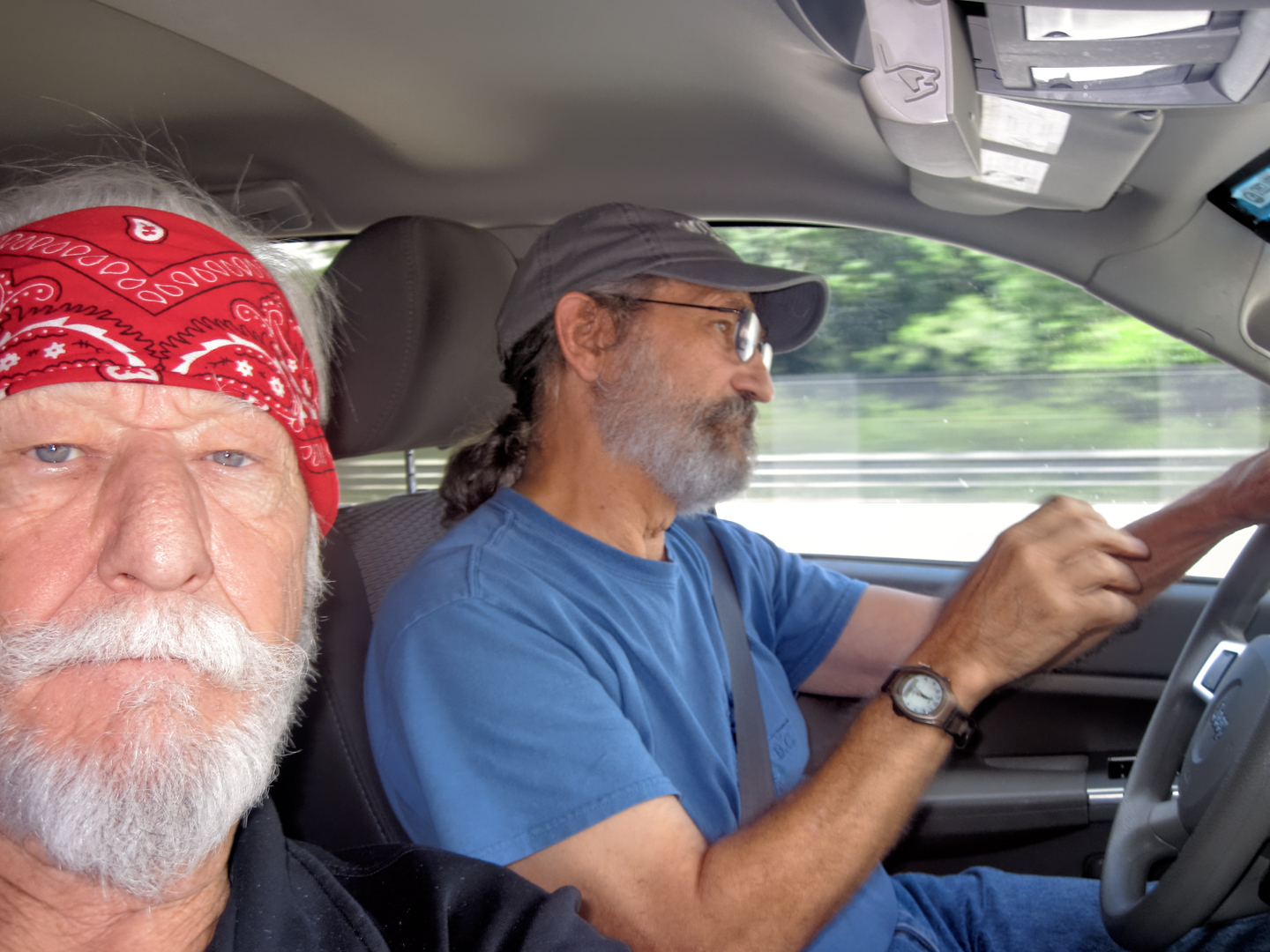
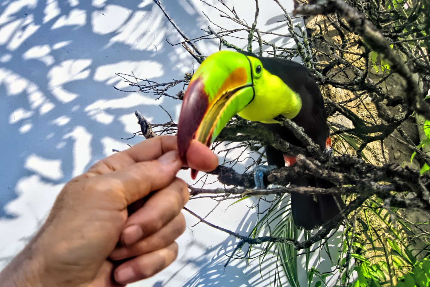
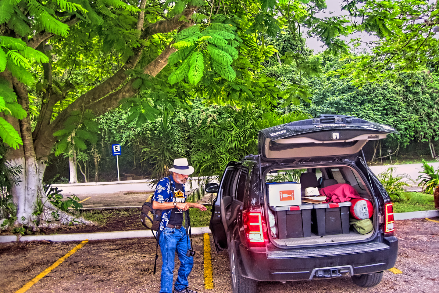
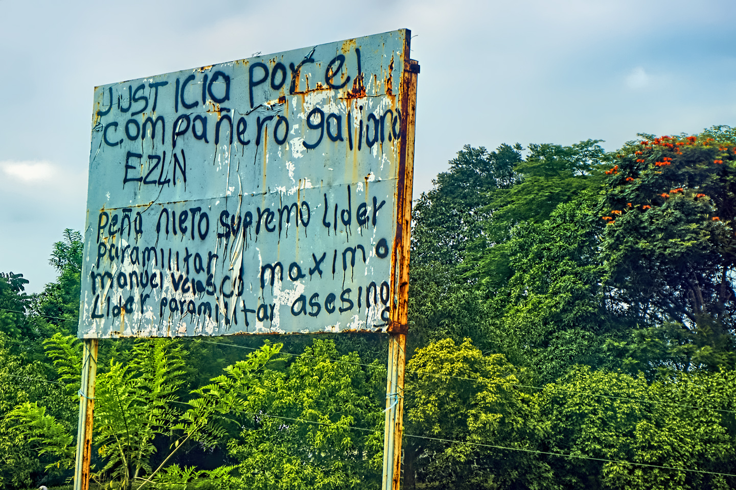
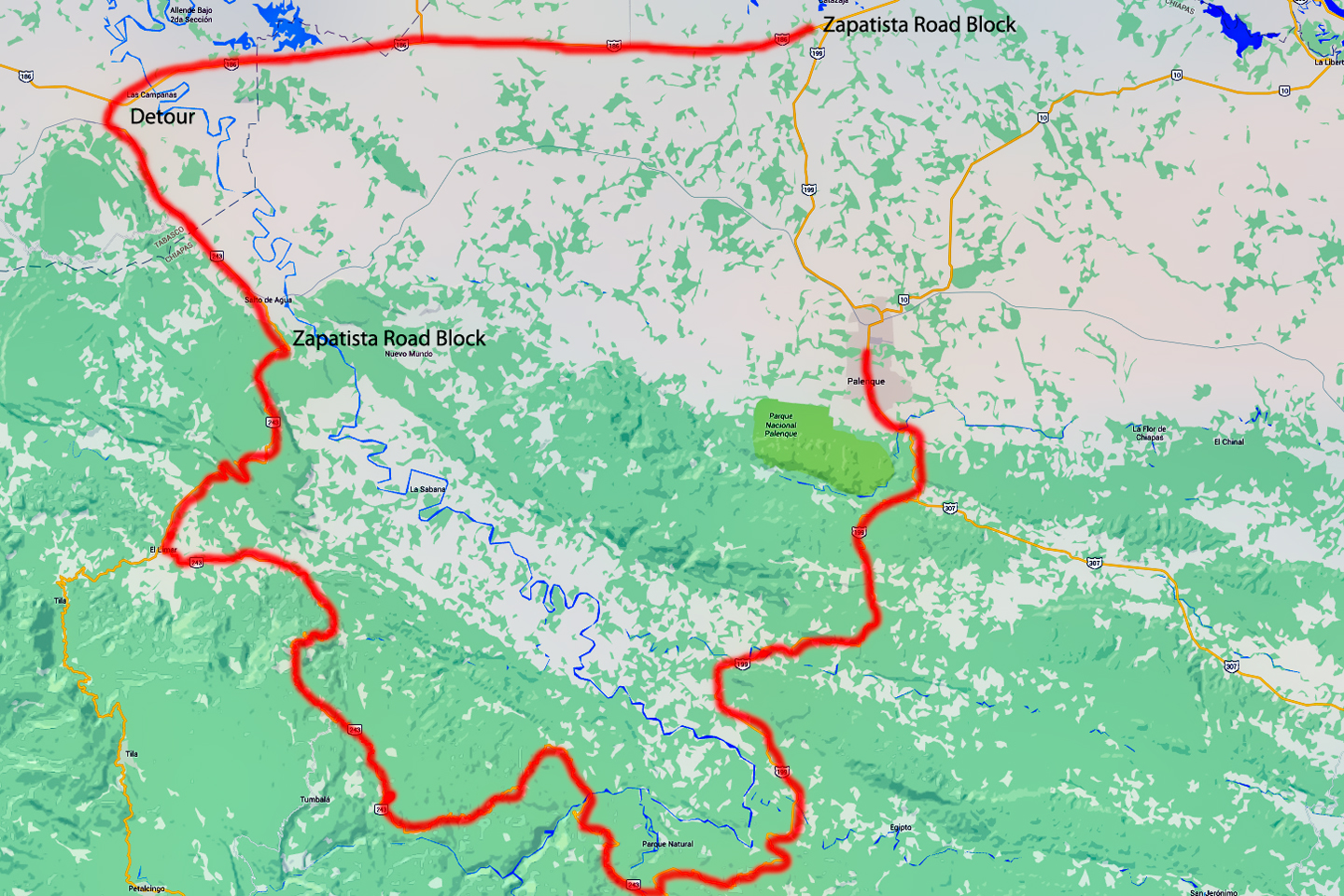
When our attempt at driving west to San Cristobal de las Casas was thwarted by yet another Zapatista roadblock, our only option was to return to Palenque, where we spent another night with the toucans at the Comfort Inn. It was beginning to feel like we were spinning our wheels a bit. We were already almost a week into our Mexican Road Trip, and, quite frankly, it was past time to come up with a realistic plan for the rest of it. When we started out, I had a general idea of the places I wanted to see, but I stopped short of creating a day-by-day itinerary. I rarely make advance reservations when I’m road tripping, because I prefer having the freedom to add destinations, or to skip them, or to change the order of them based on what I see and hear when I get closer to where I’m going. Southern Mexico didn’t lend itself all that well to that style of travel, because there were simply too many possibilities! And then there was the time factor: Michael, my traveling companion, had a fixed date when he had to be back home in Arizona, which only gave us three more weeks, including the time that would be required to drive back north. Under the circumstances, it made sense to impose some structure on our little expedition.
At the hotel in Palenque, we studied our maps, and a reasonably logical sequence began to take shape: I wanted to see Mayan ruins in the Yucatan. Some of the big ones, like Chichén Itzá and Uxmal, those were a given, but I still hadn’t decided about the rest. I figured we could start in Merida, and circle the peninsula clockwise, stopping at as many Mayan sites as possible along the way. After that, back to Chiapas to make one more attempt at driving to San Cristobal de Las Casas (another of my “must-see” destinations), and finally, back to the border, with a stop in Oaxaca, and a longer stop in San Miguel de Allende, to take in the Day of the Dead celebration. We’d originally hoped to cross into Belize, and possibly Guatemala, to visit ruins in those countries, but considering our time constraints, and the aggravating complexity of multiple border crossings, that was beginning to seem unlikely. Two, maybe three beers later, I had a rough sketch of a plan tucked away in my pocket, and we were ready to hit the sack.
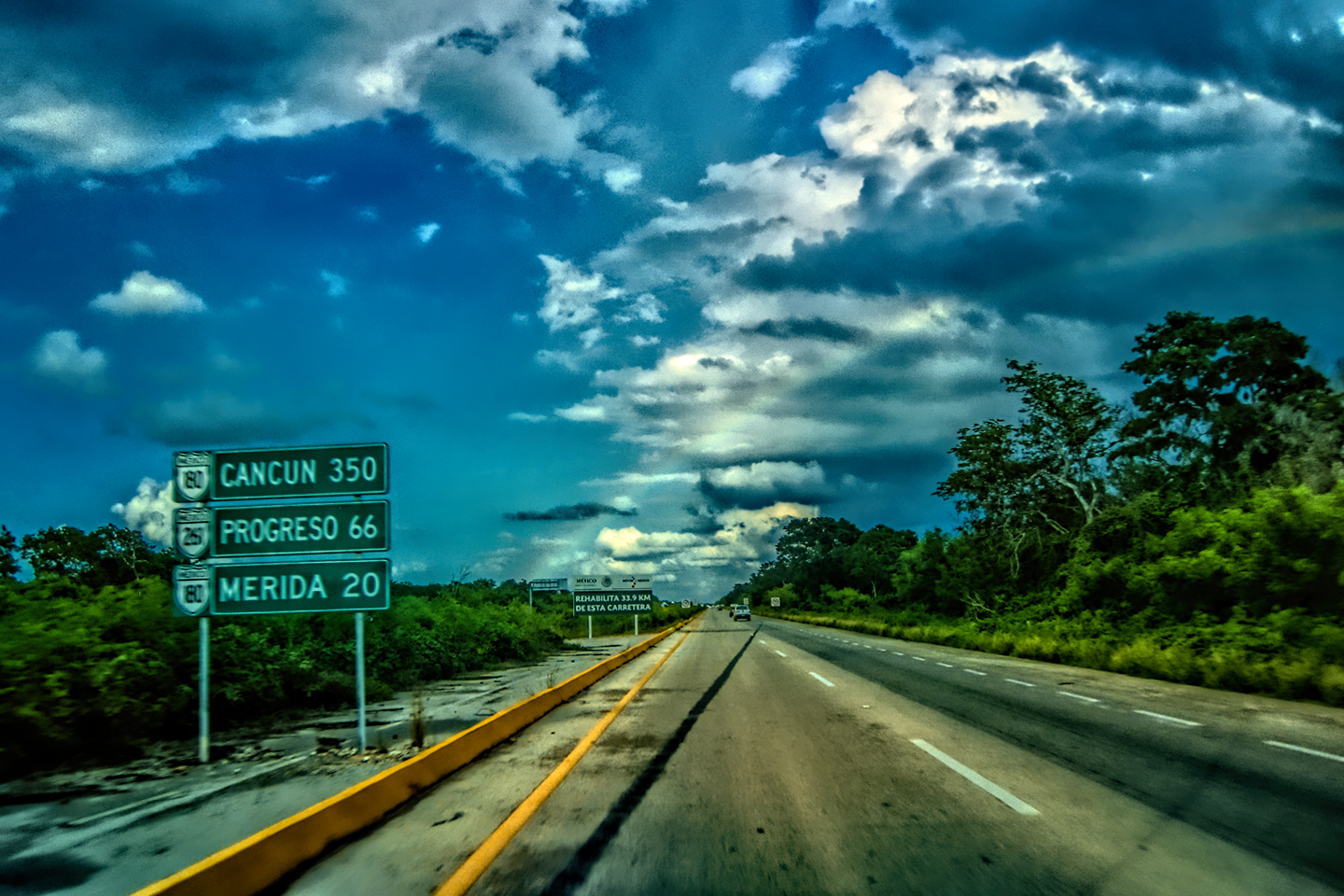
DAY 6: AT LONG LAST, THE YUCATAN!
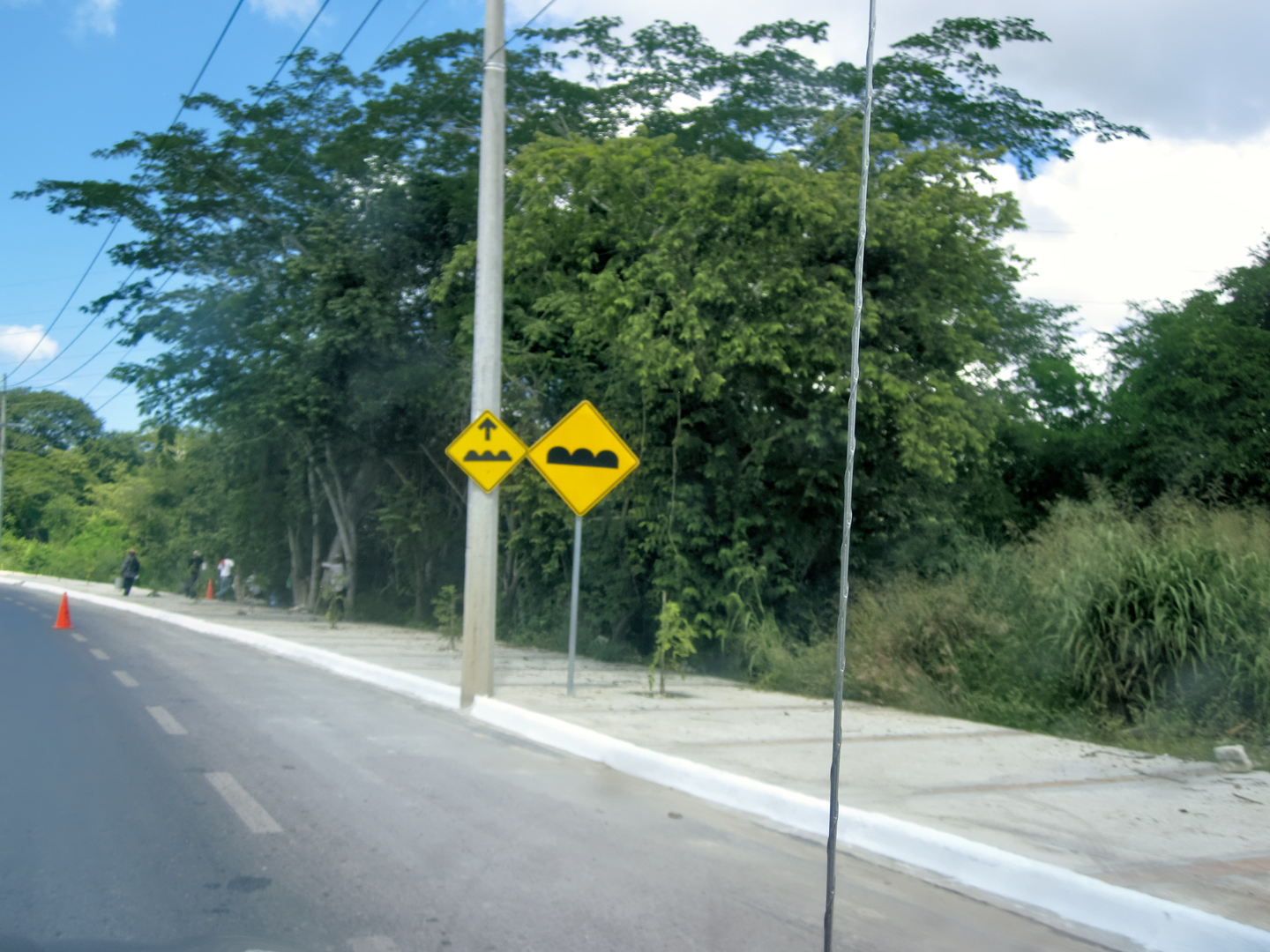
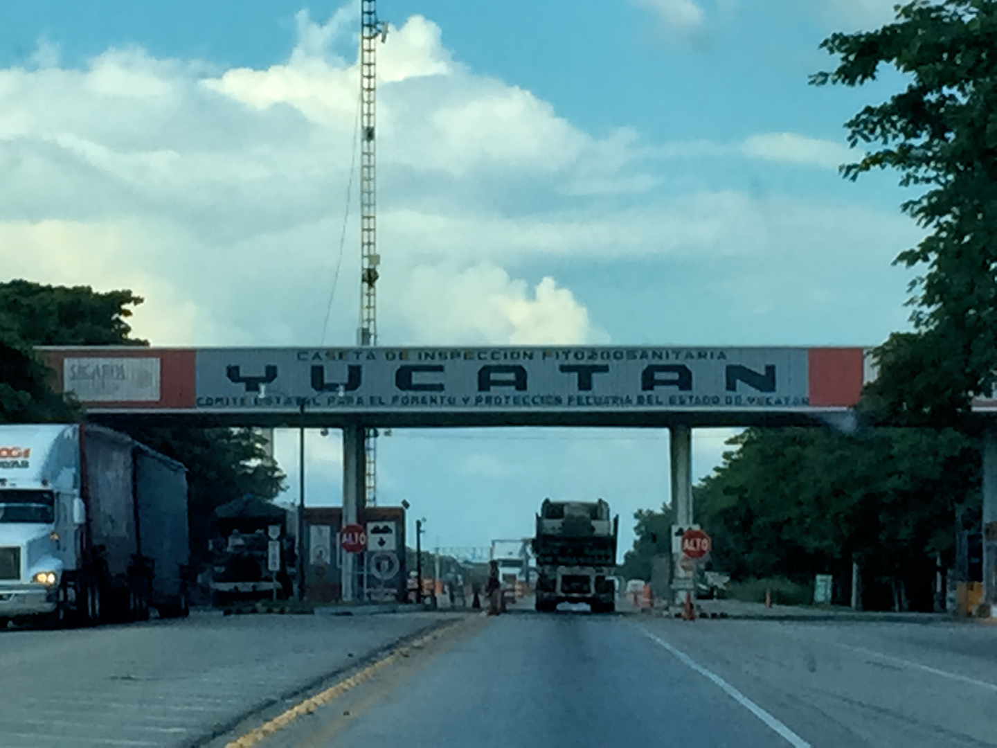
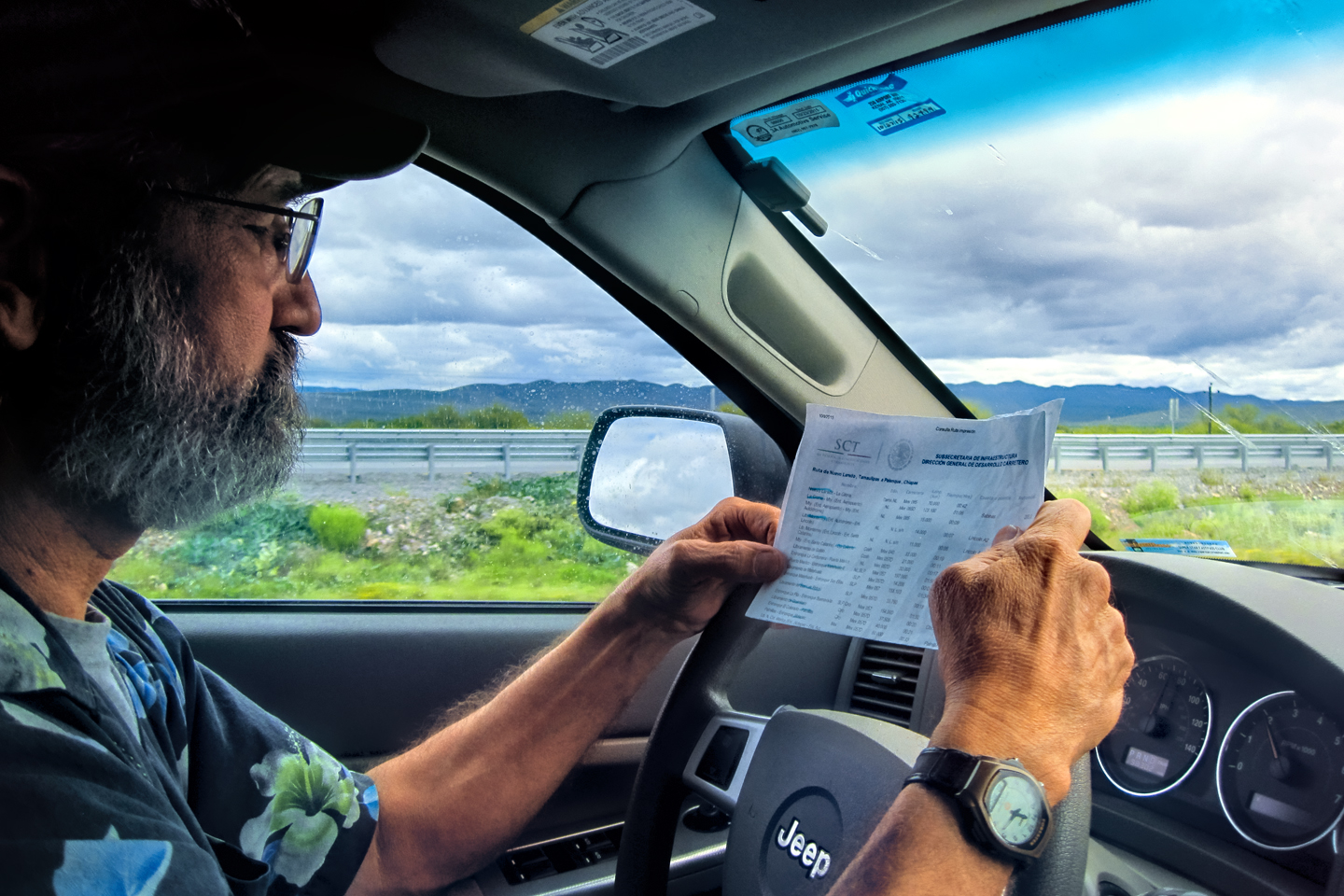
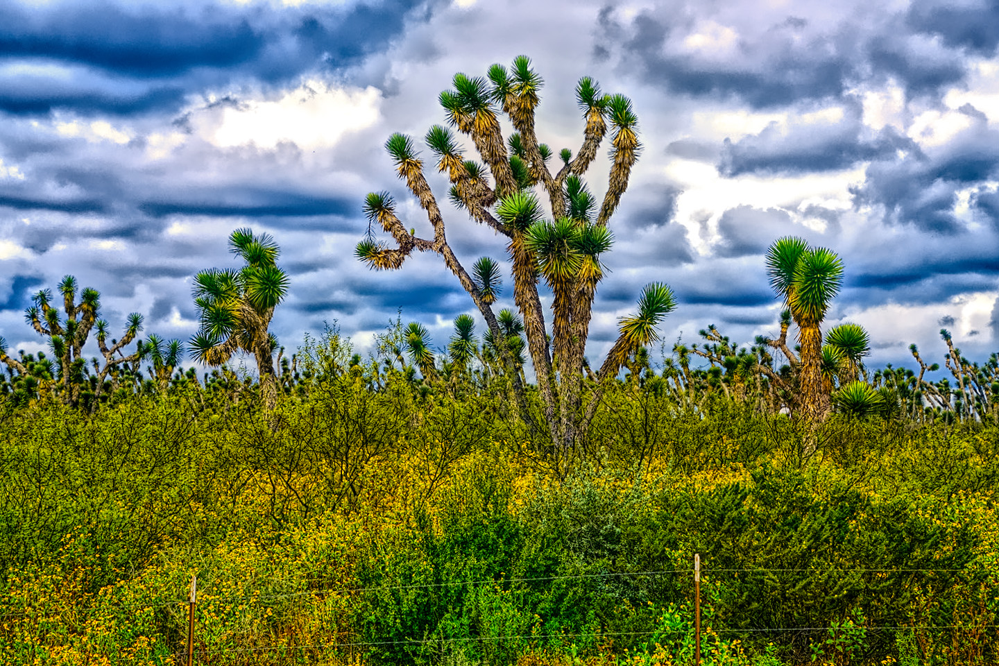
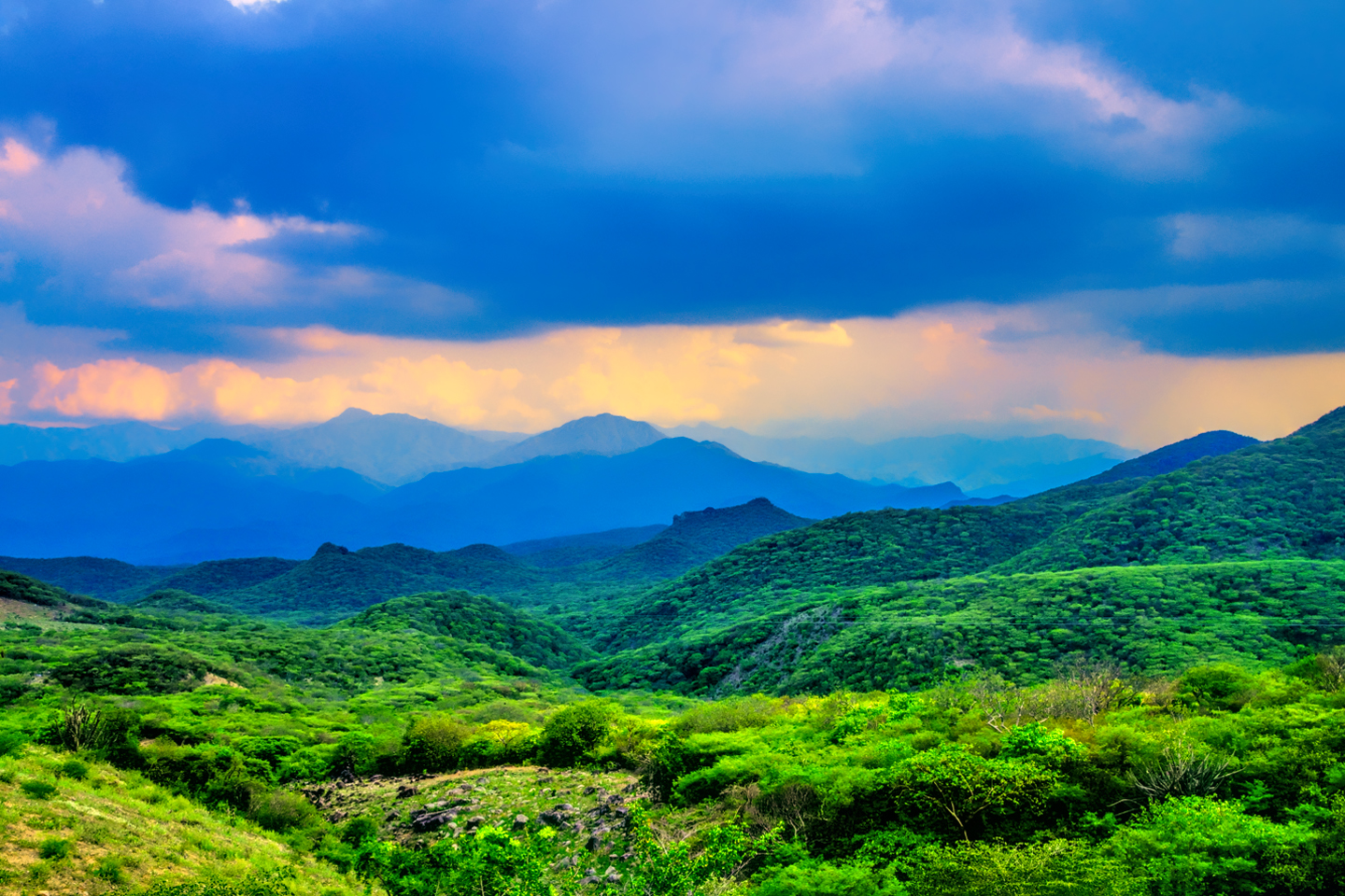
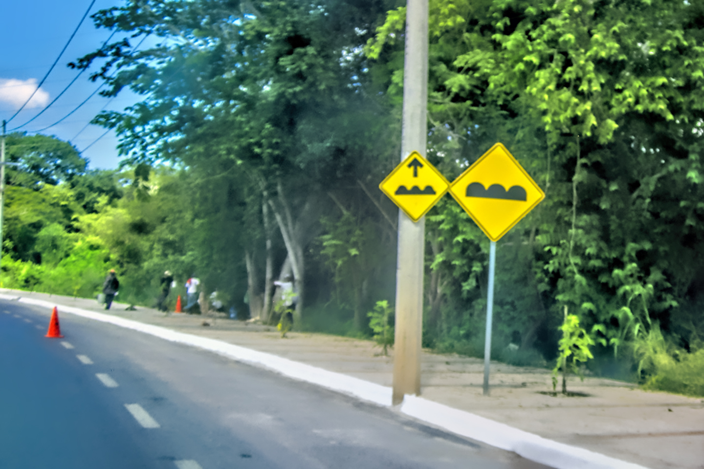
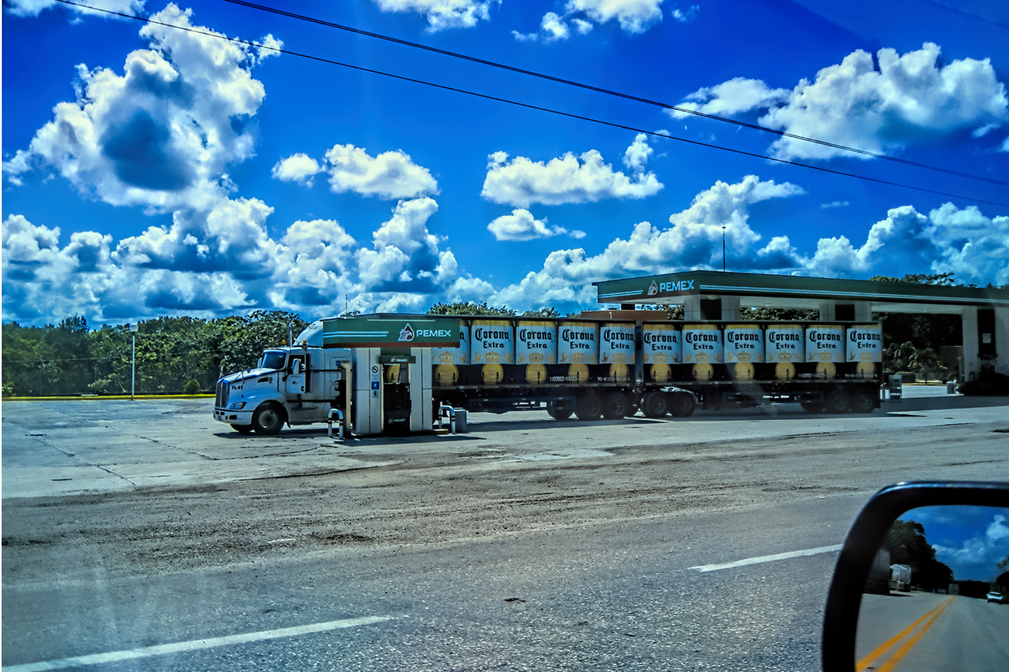
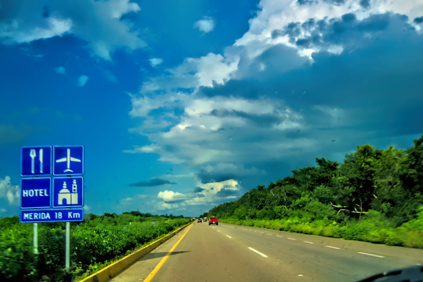
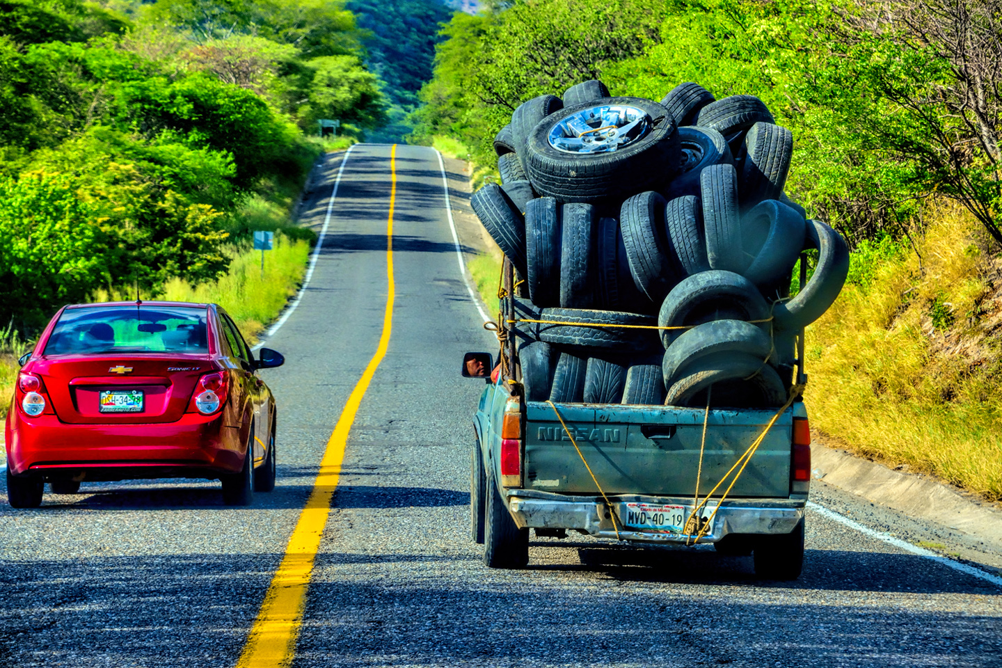
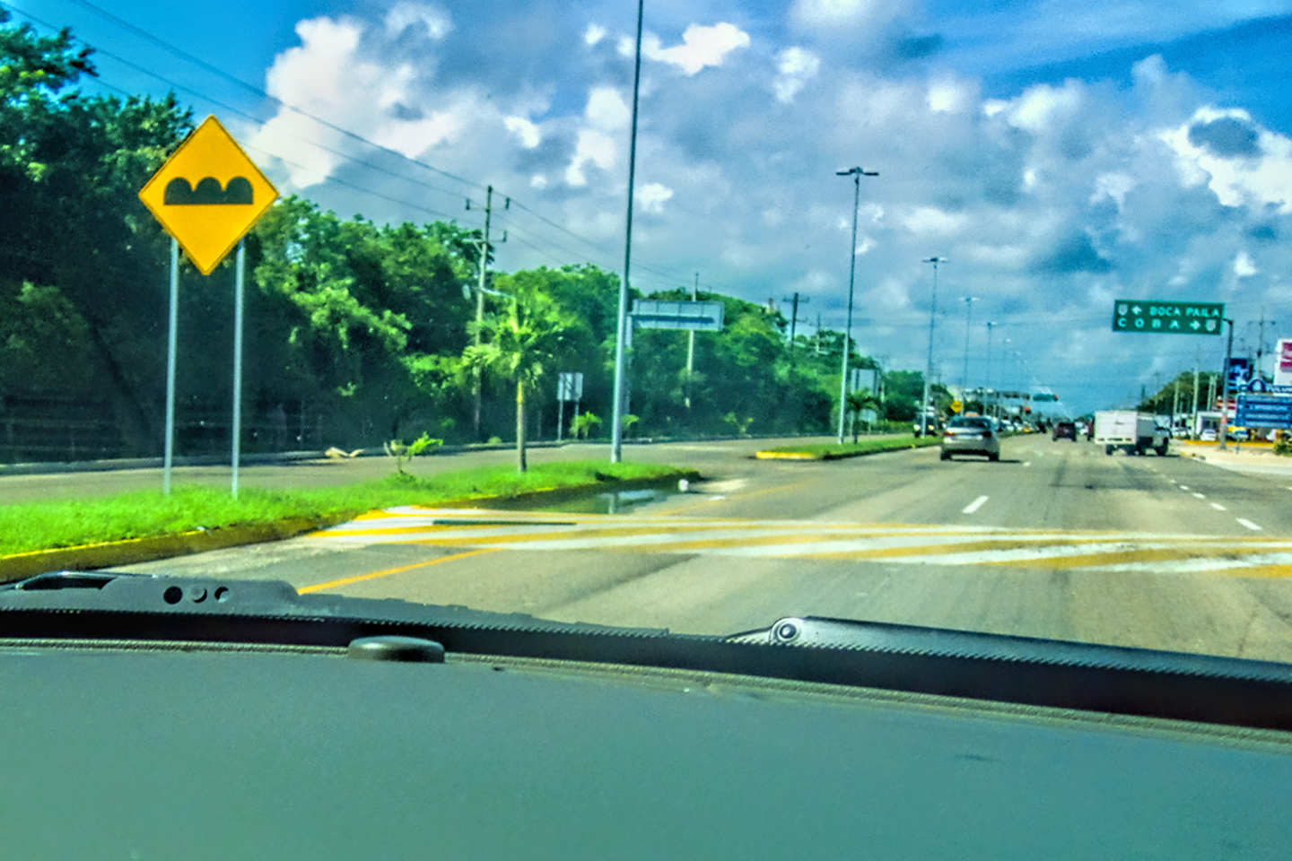
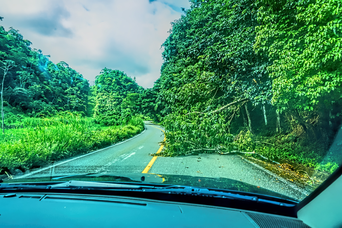
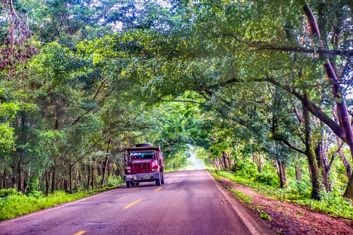
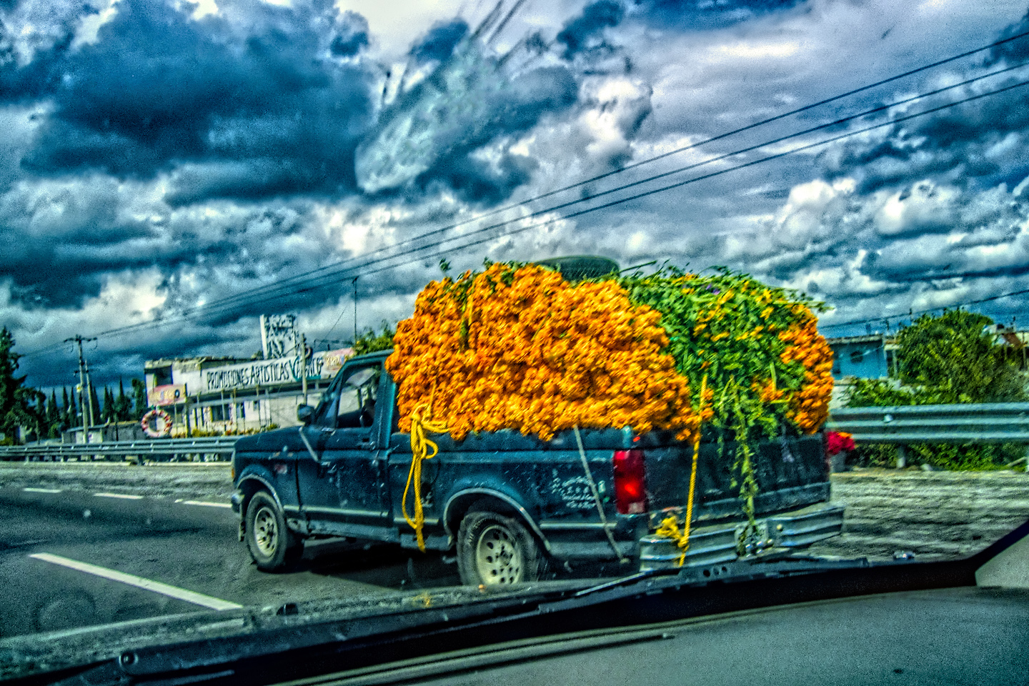
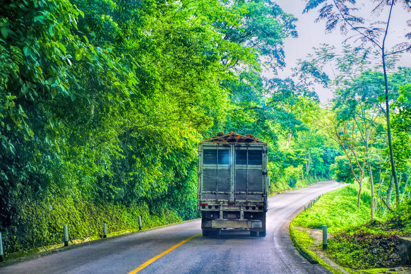
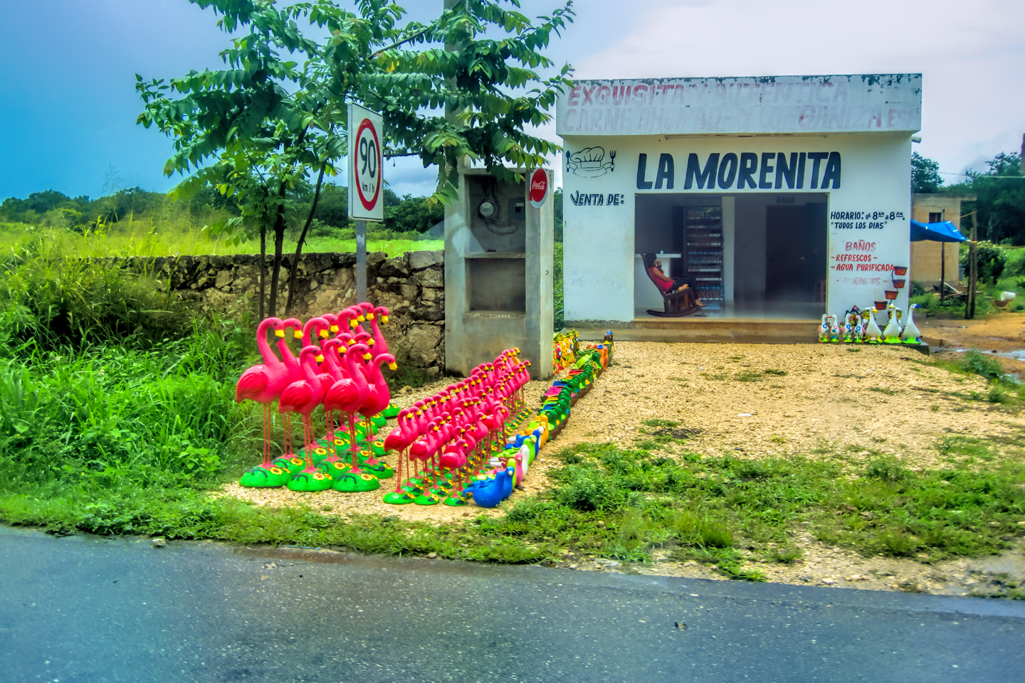
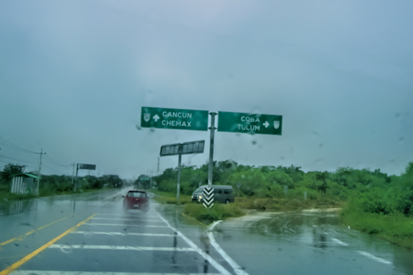
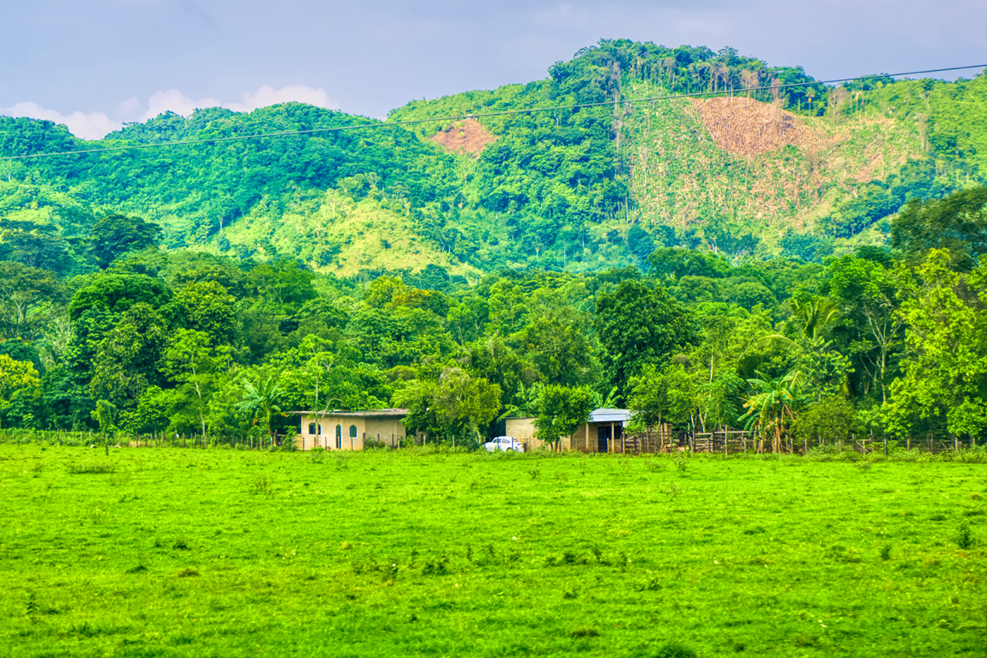
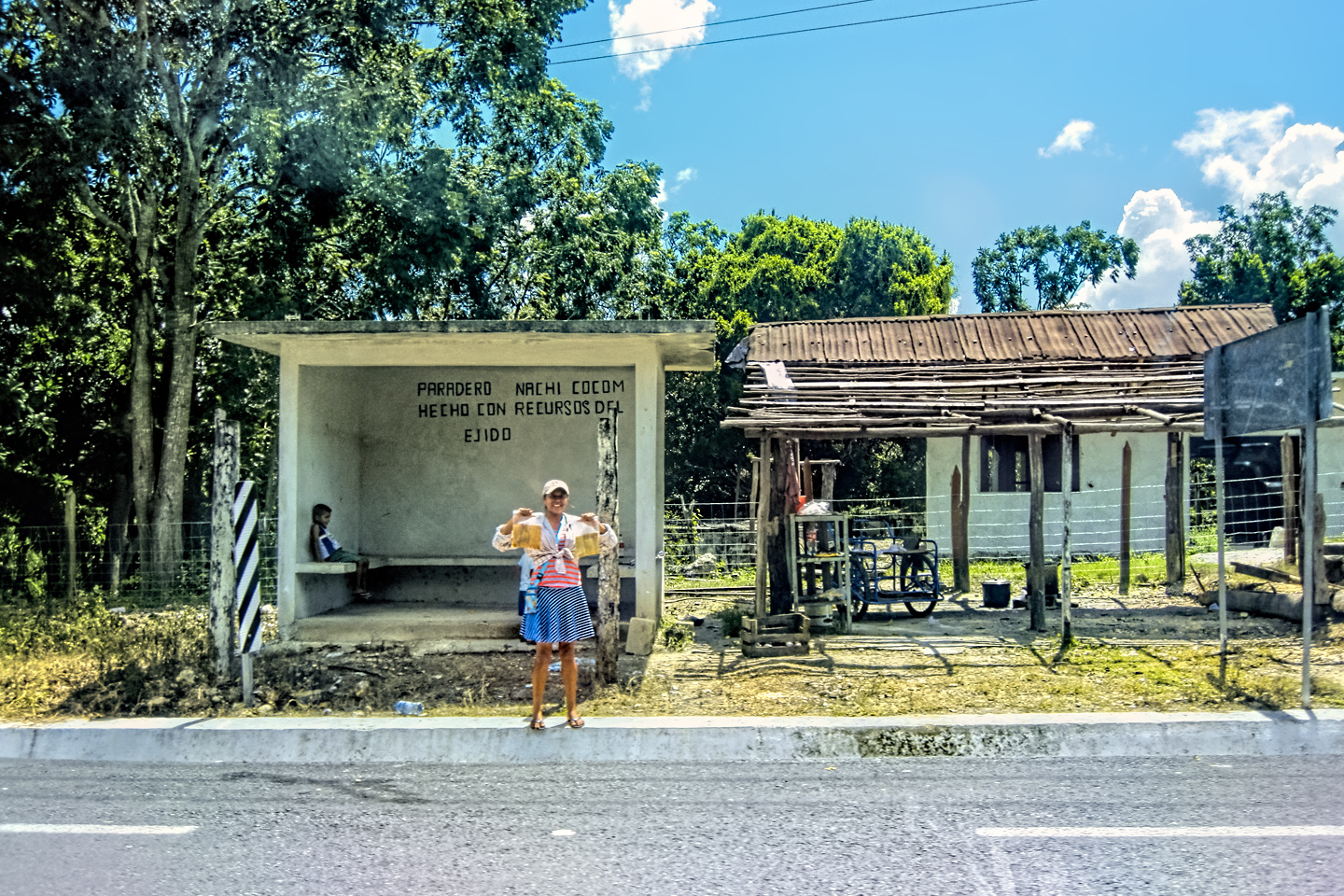
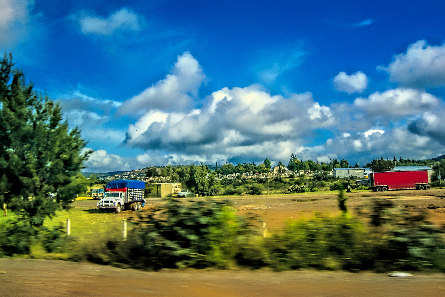
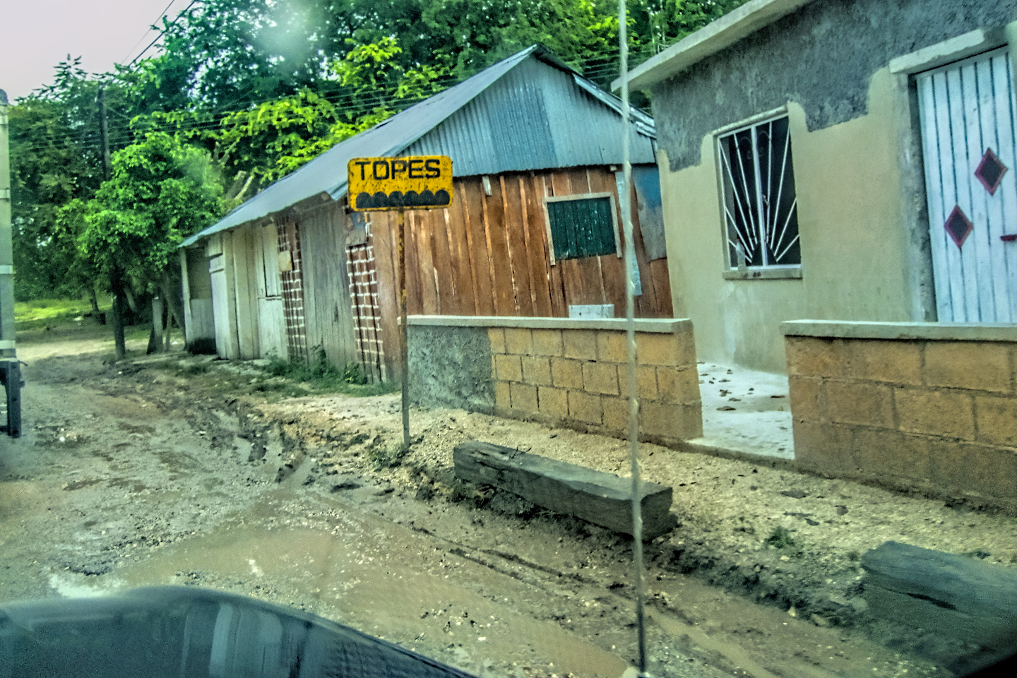
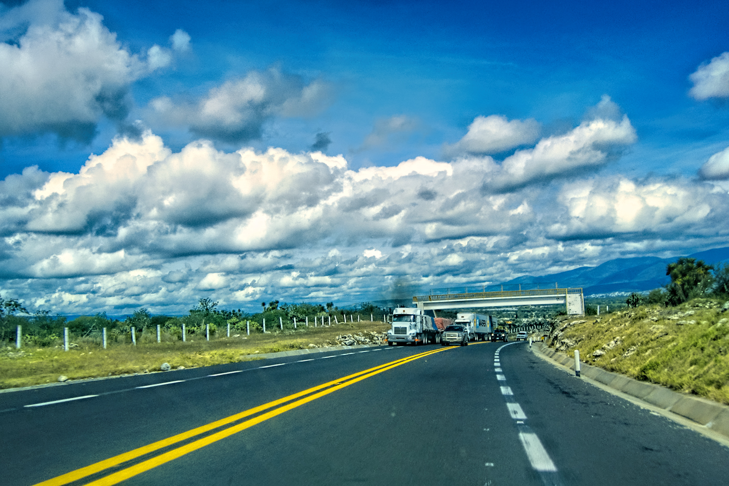
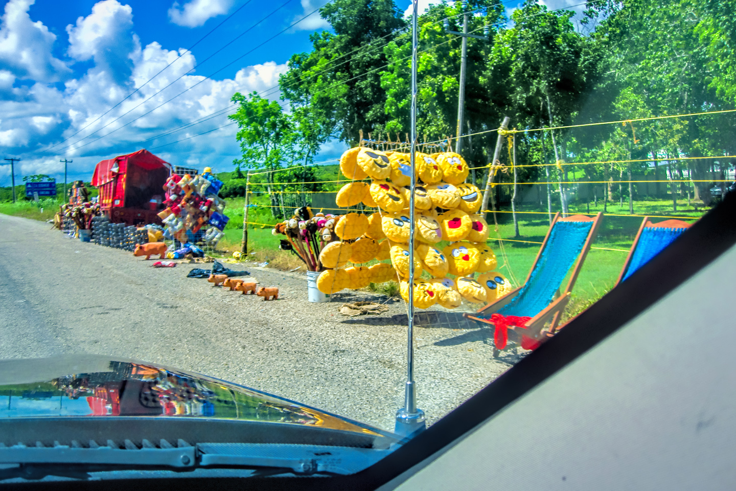
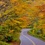
The next morning, Day 6, we checked out of the Comfort Inn, and headed north, destination: Merida, capital of the Yucatan, a mere 333 miles away! The main road going to or from Palenque is MX 199, the same road that the Zapatistas shut down with their bloqueo when we first arrived in the area, two days earlier. This time, there was no sign of any road block, and we merged smoothly onto MX 186, the principal east/west route across the bottom of the Yucatan peninsula. This highway was a main road, but it wasn’t an expressway; there was traffic in both directions, and access was not limited, so there were hazards in the right-of-way ranging from slow moving donkey carts to topes, the bone-jarring speed bumps installed to slow traffic through populated areas.
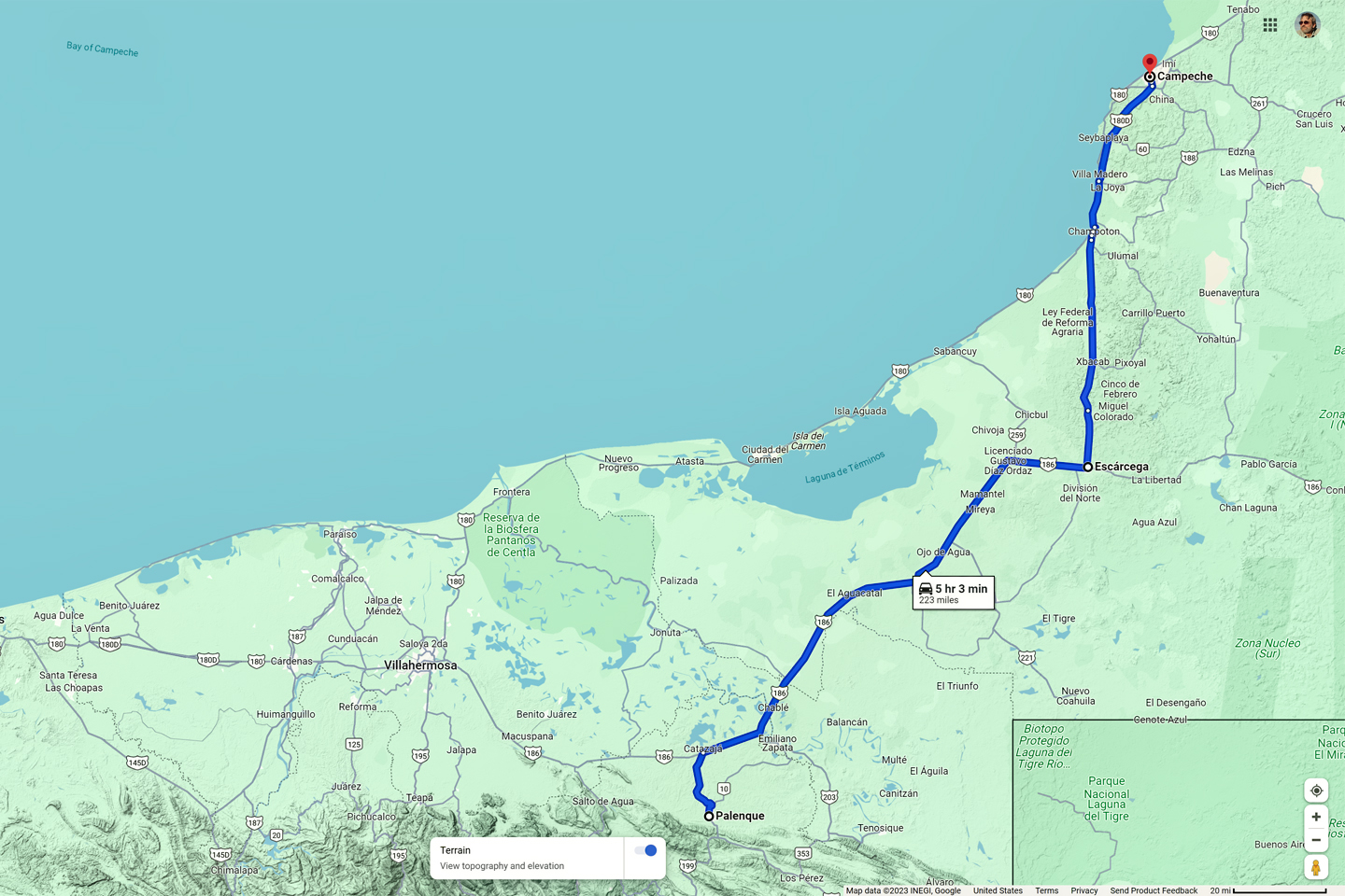
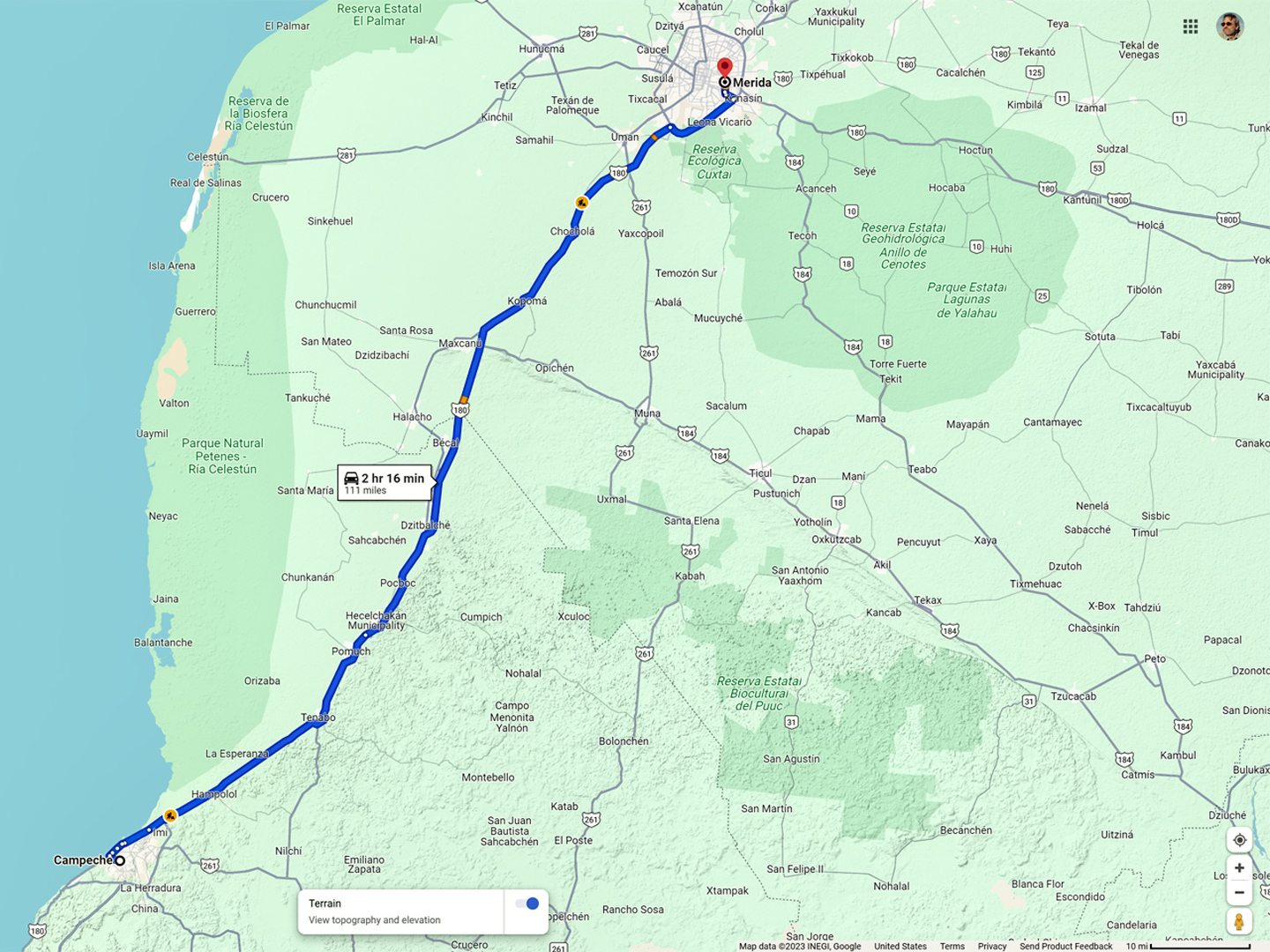
Day 6: From Palenque to Campeche
After 20 miles or so the road crossed a river, the Usumacinta, which served as the boundary between the State of Chiapas and the State of Tabasco. I had to smile when I noticed the sign marking the Usumacinta. Many years ago I wrote a novel that I called Chivor, an adventure yarn set mostly in Colombia. The flawed hero of my story was a treasure hunter named Sam, and in the first scene, I had him sneaking into Mexico from Guatemala, smuggling a jade figurine illegally dug from a ruin. He gets ambushed and shot by bandits while traveling down the Usumacinta River in a canoe. When I wrote that, I’d never been anywhere near the Usumacinta River. I chose the location after studying a map, a traditional paper road map, because this was at least fifteen years before Google gave us easy access to all that wonderful satellite imagery.
CLICK PHOTOS AND MAPS TO EXPAND
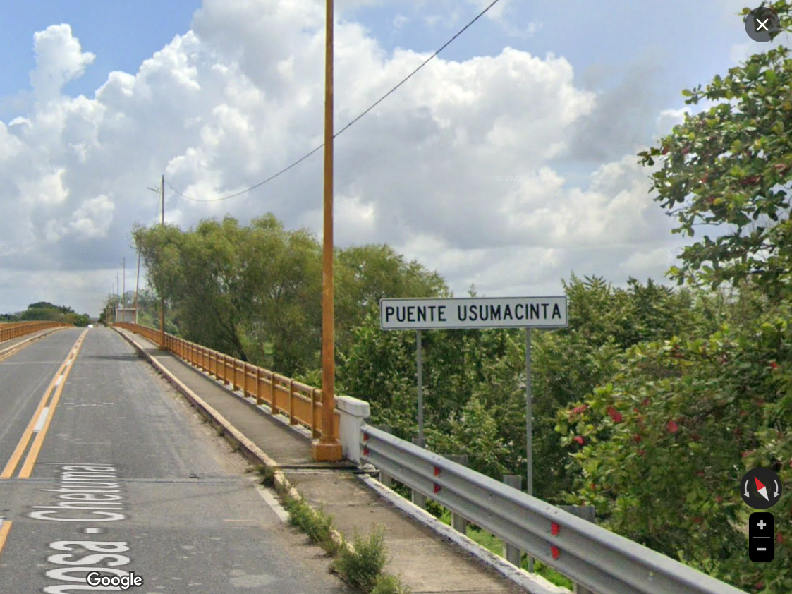
I had no idea what the area actually looked like. The World Wide Web hadn’t been developed yet, so there was no easy way to find out. My descriptions of the terrain as written in my novel were based solely on my imagination, and now, after all those years, I was actually there, close enough, anyway, crossing the Usumacinta on a highway bridge! It wasn’t exactly Deja vu, since I knew I’d never seen it before, but it was a similar, eerie sensation!
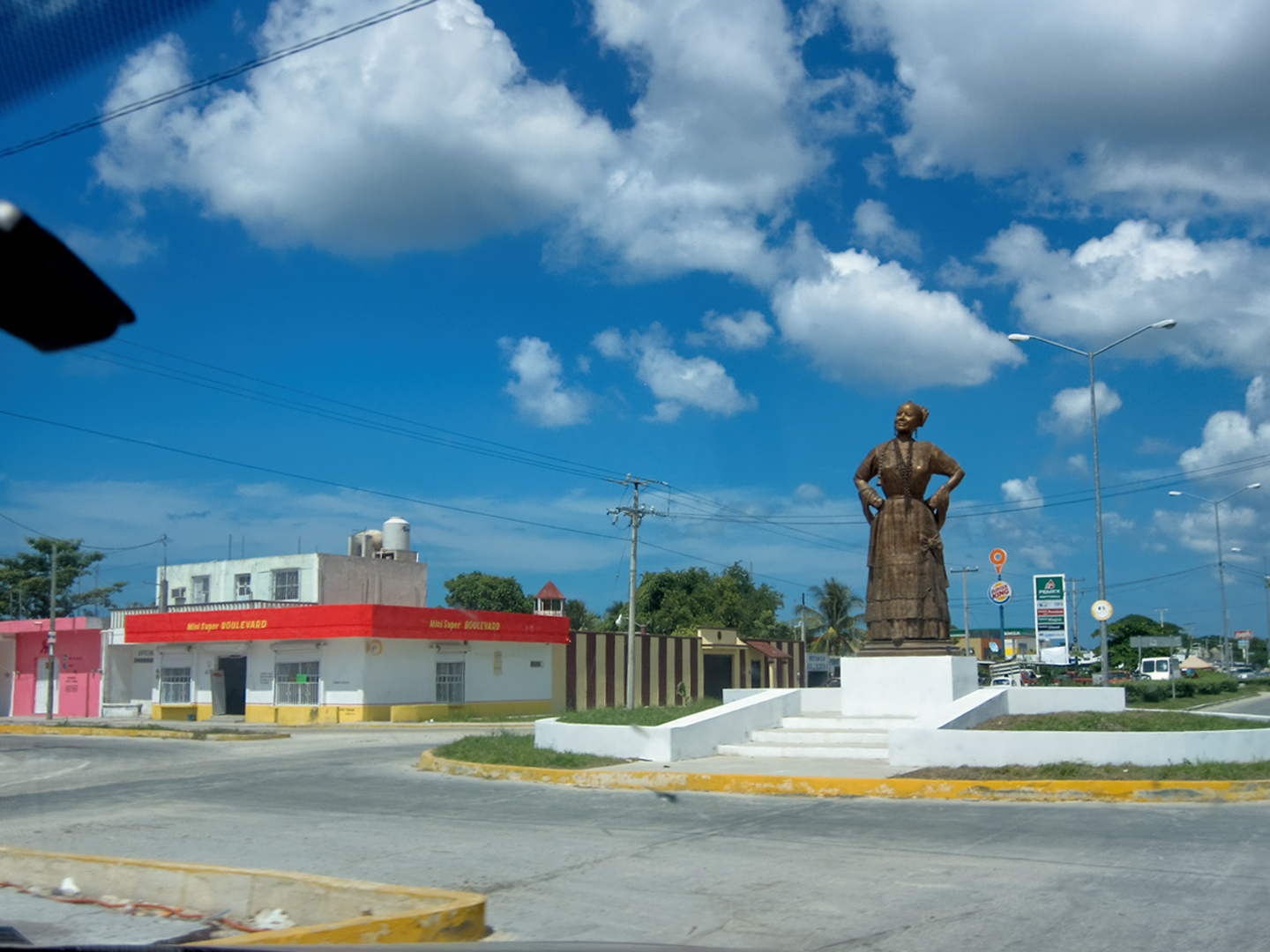
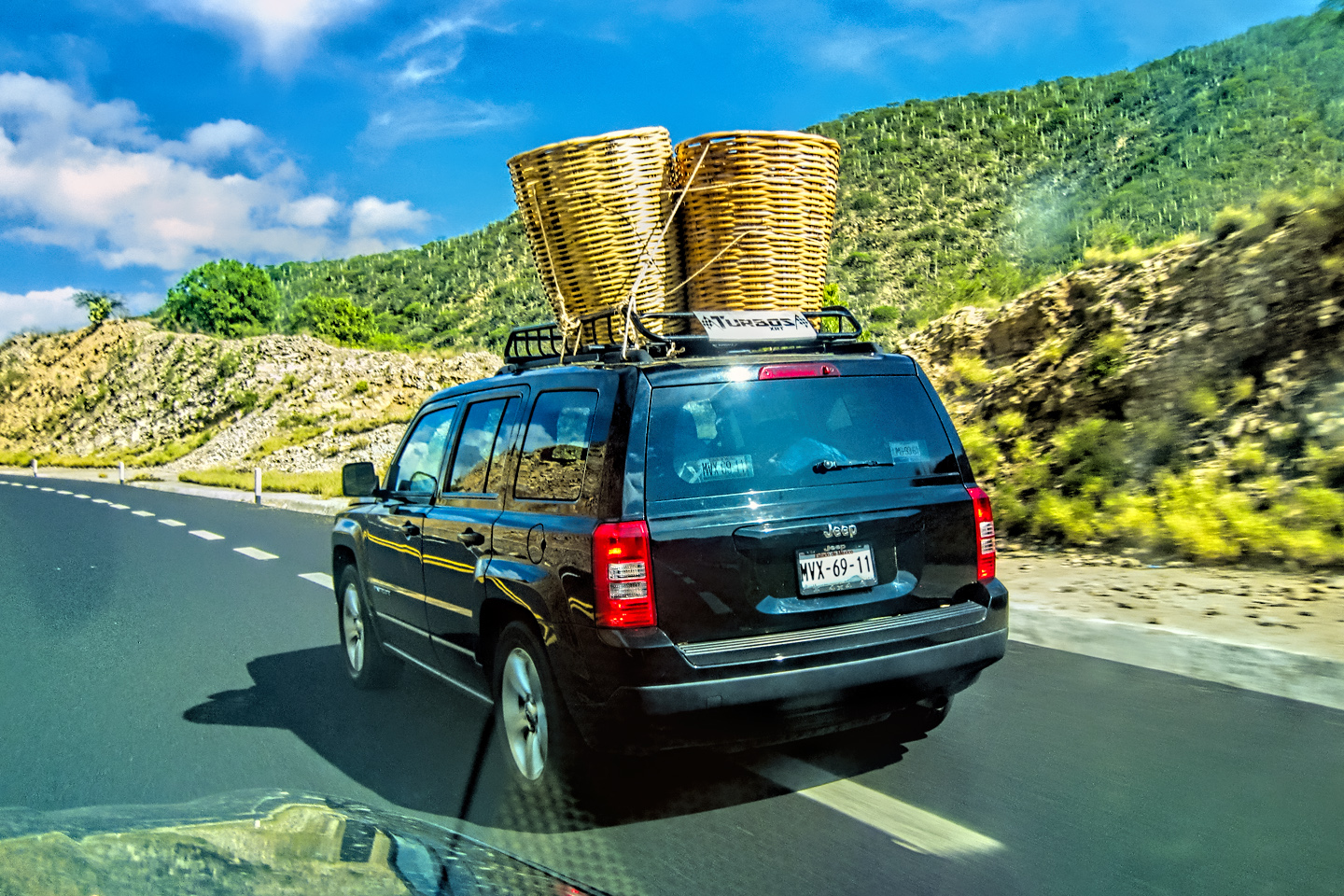
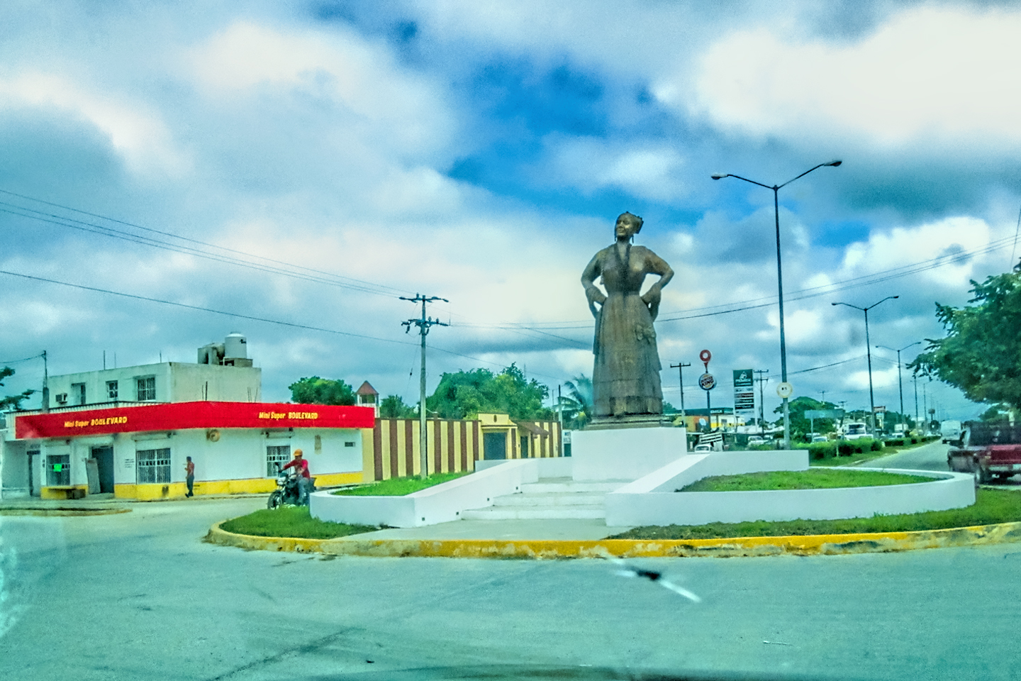
Monument to the Women of Campeche in Escarcega; Choices: Toll Road vs Free Road; Campeche Toll Plaza; Me & Mike, driving to Campeche; Sign warning of Topes, dead ahead!
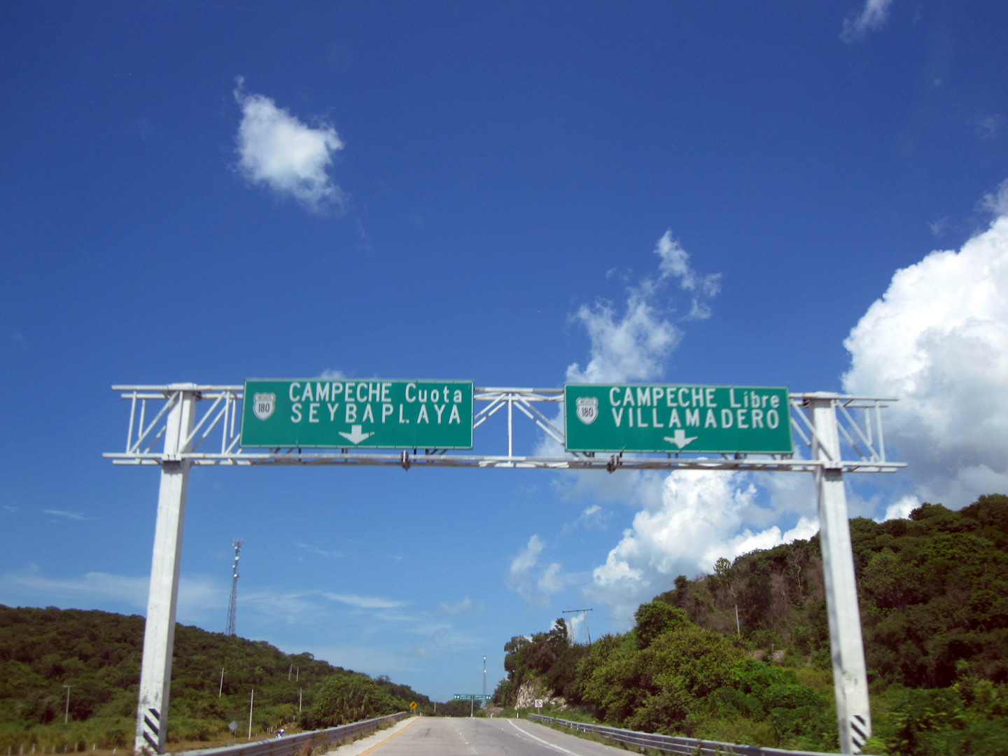
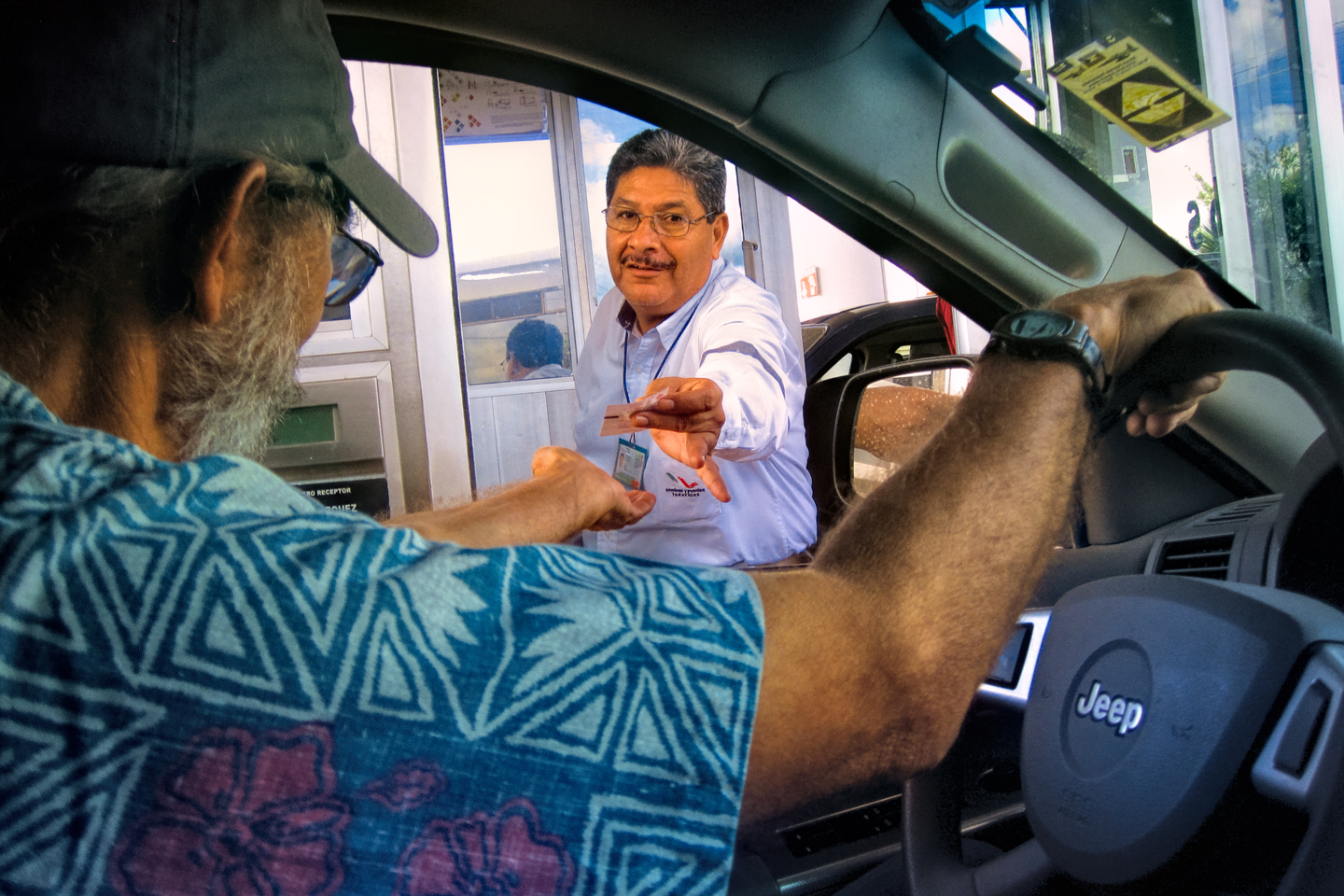
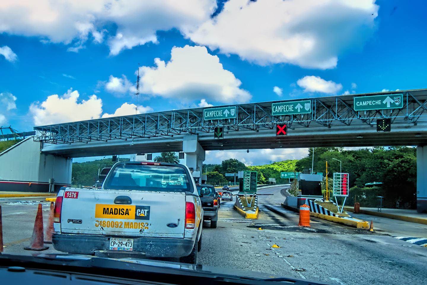
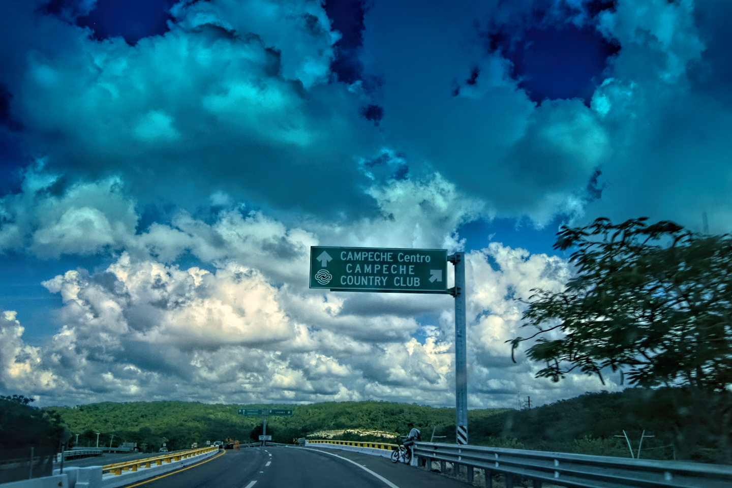
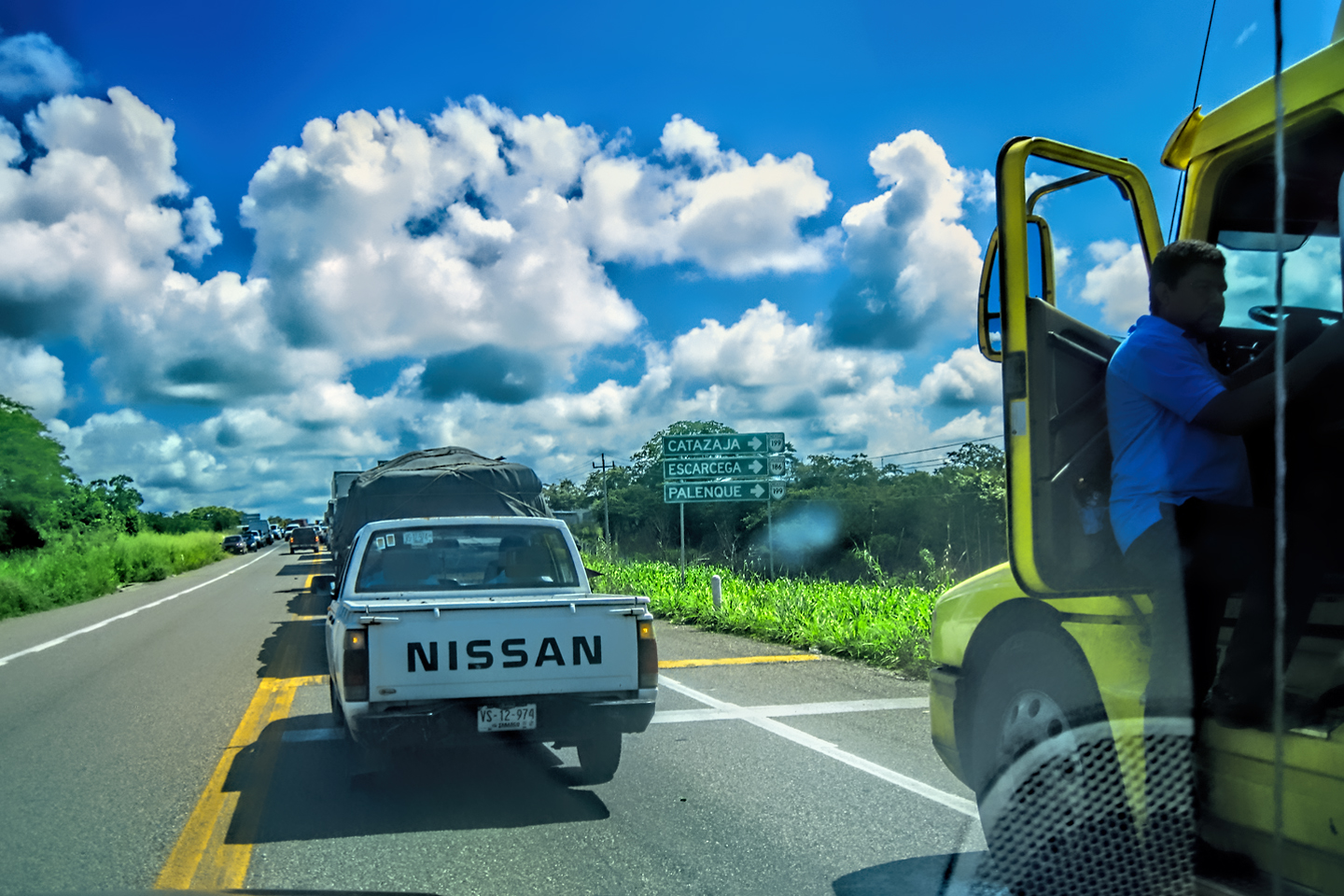
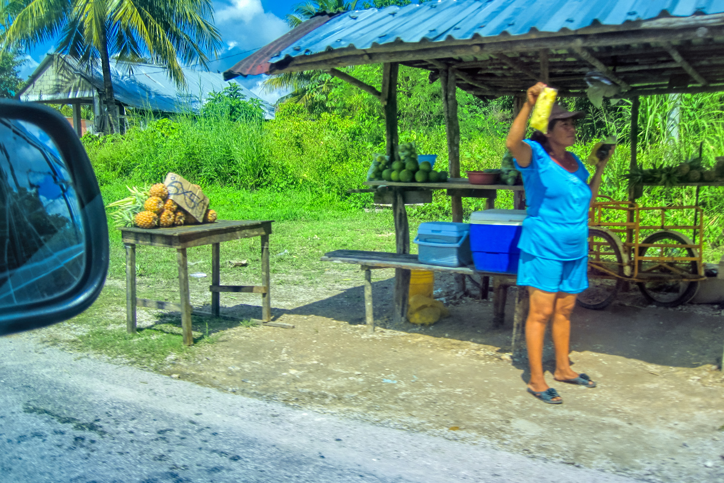
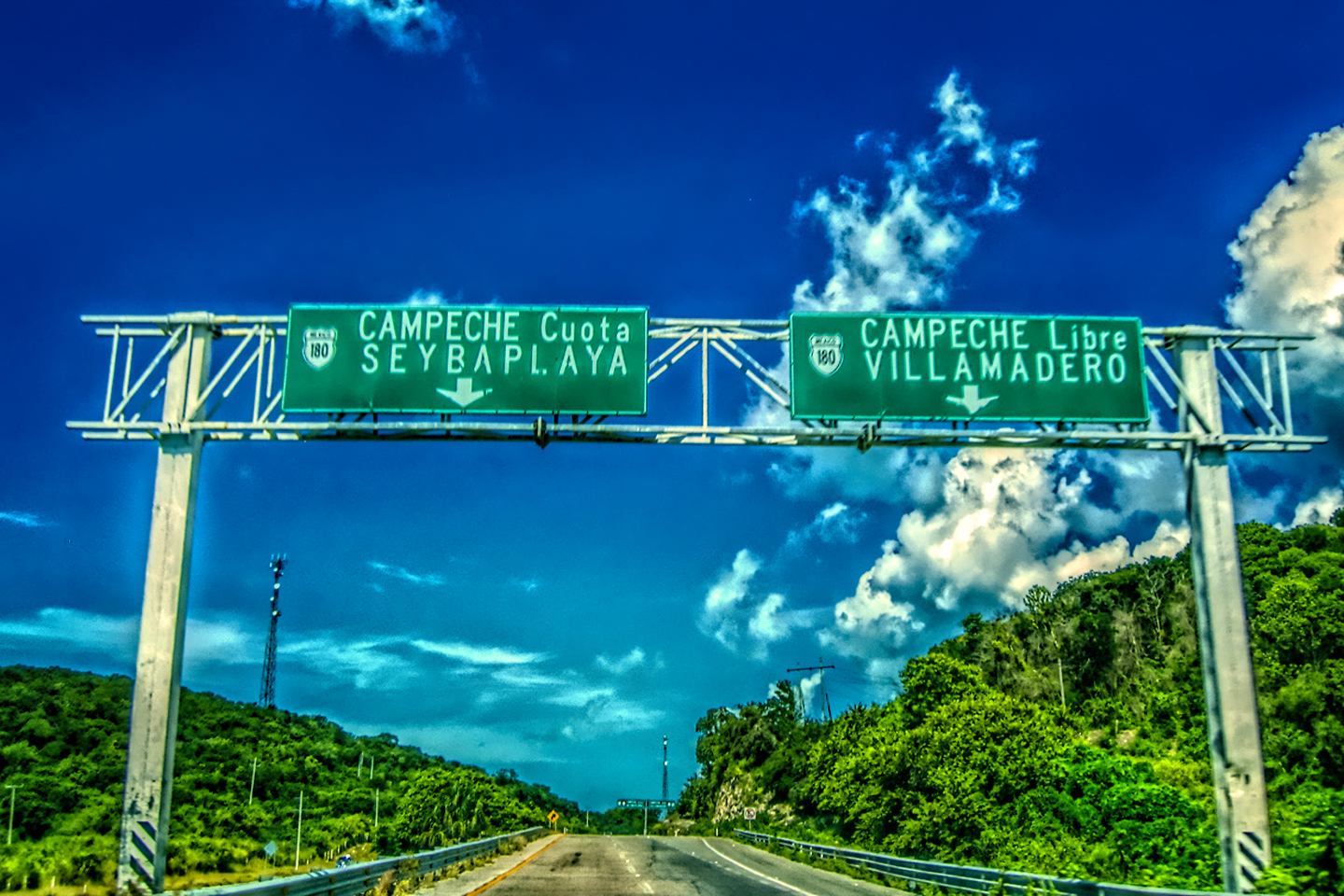
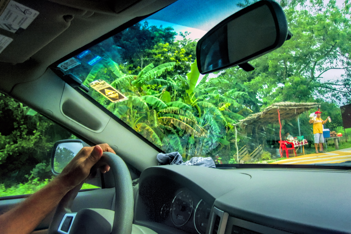
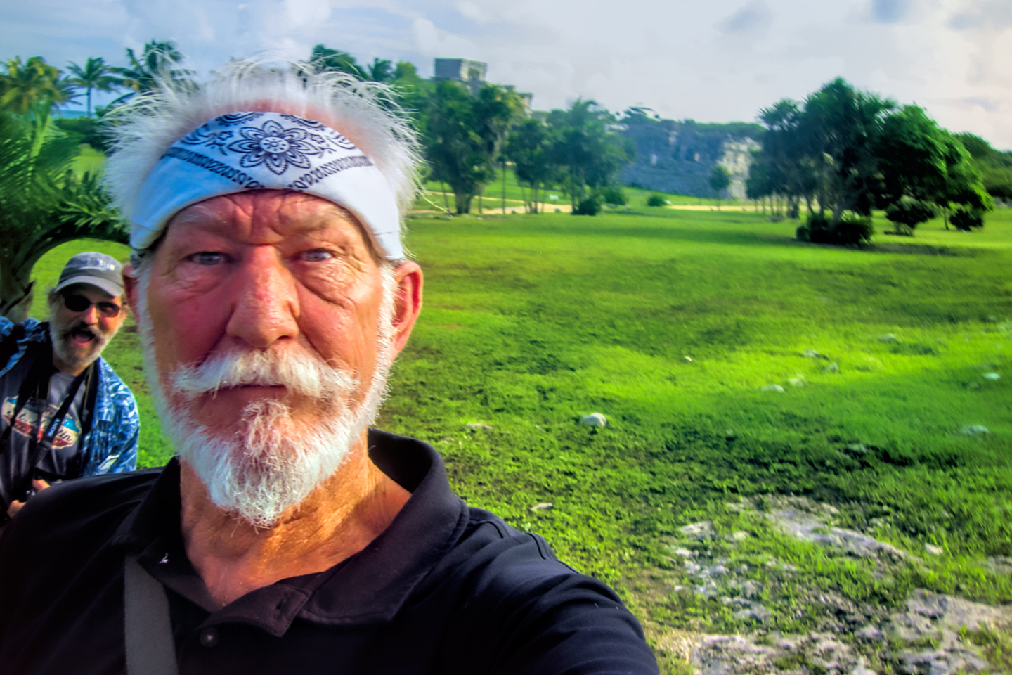
The first leg of our drive this day took us northeast to the town of Escarcega, where we left MX 186, and merged on to MX 180, headed due north to the city of Campeche. We had a choice between the Libre (free) version of the road, which hugged the approaching coastline, passing through a half dozen tiny towns, and the Cuota (Toll Road), which would take us to Campeche more directly. Rule of thumb when driving in Mexico: when given a choice, always take the Toll Road, if only to avoid the damned topes!
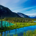
The Yucatan peninsula is bordered by the Gulf of Mexico to the west, and the Caribbean Sea to the east. As we entered the city I could smell the ocean, the salty tang of it, and I could feel it in the air, bringing back some really great memories of my youthful adventures on the coast of Colombia (more than 50 years ago).
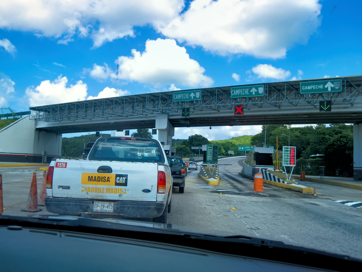
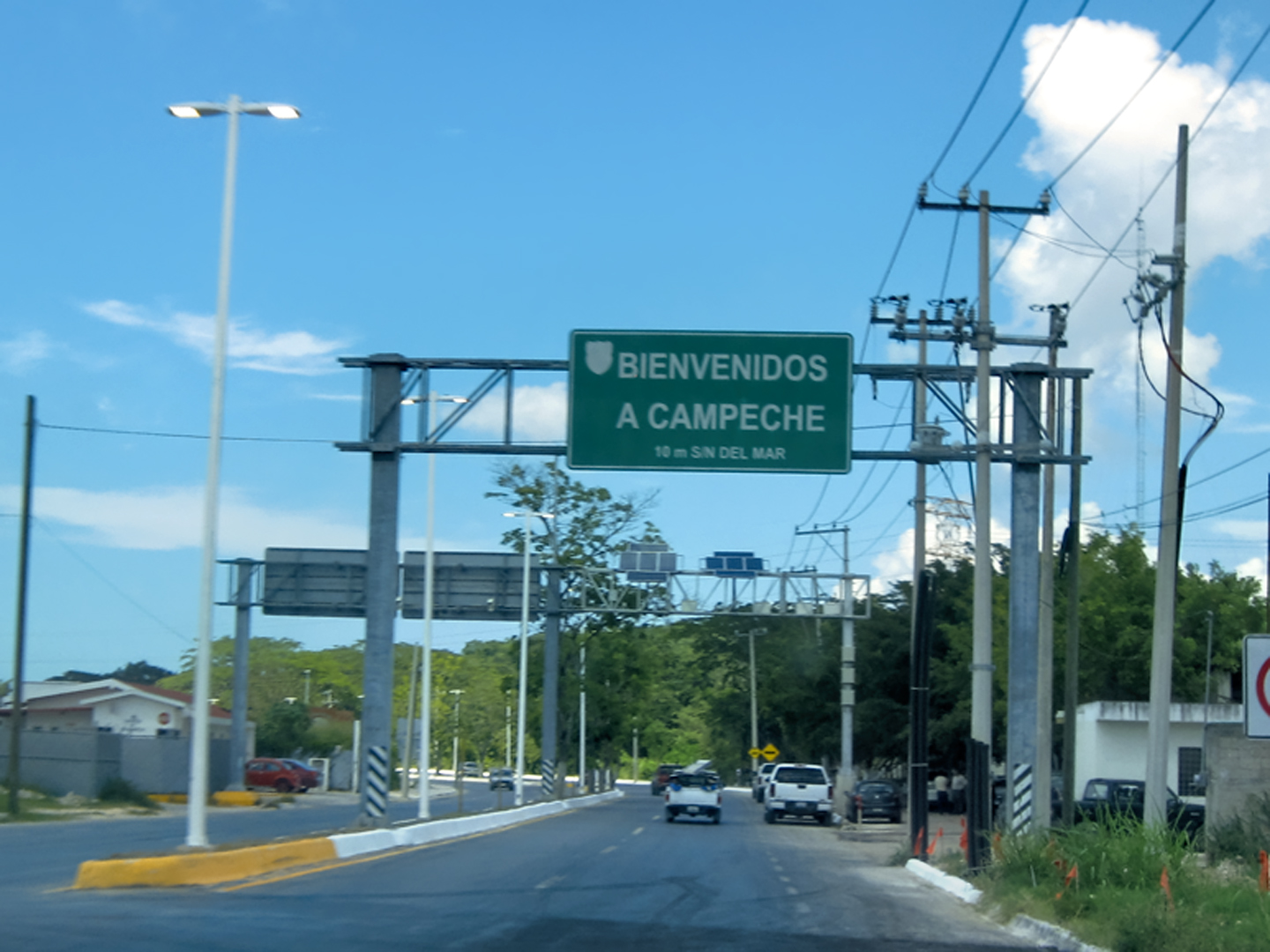
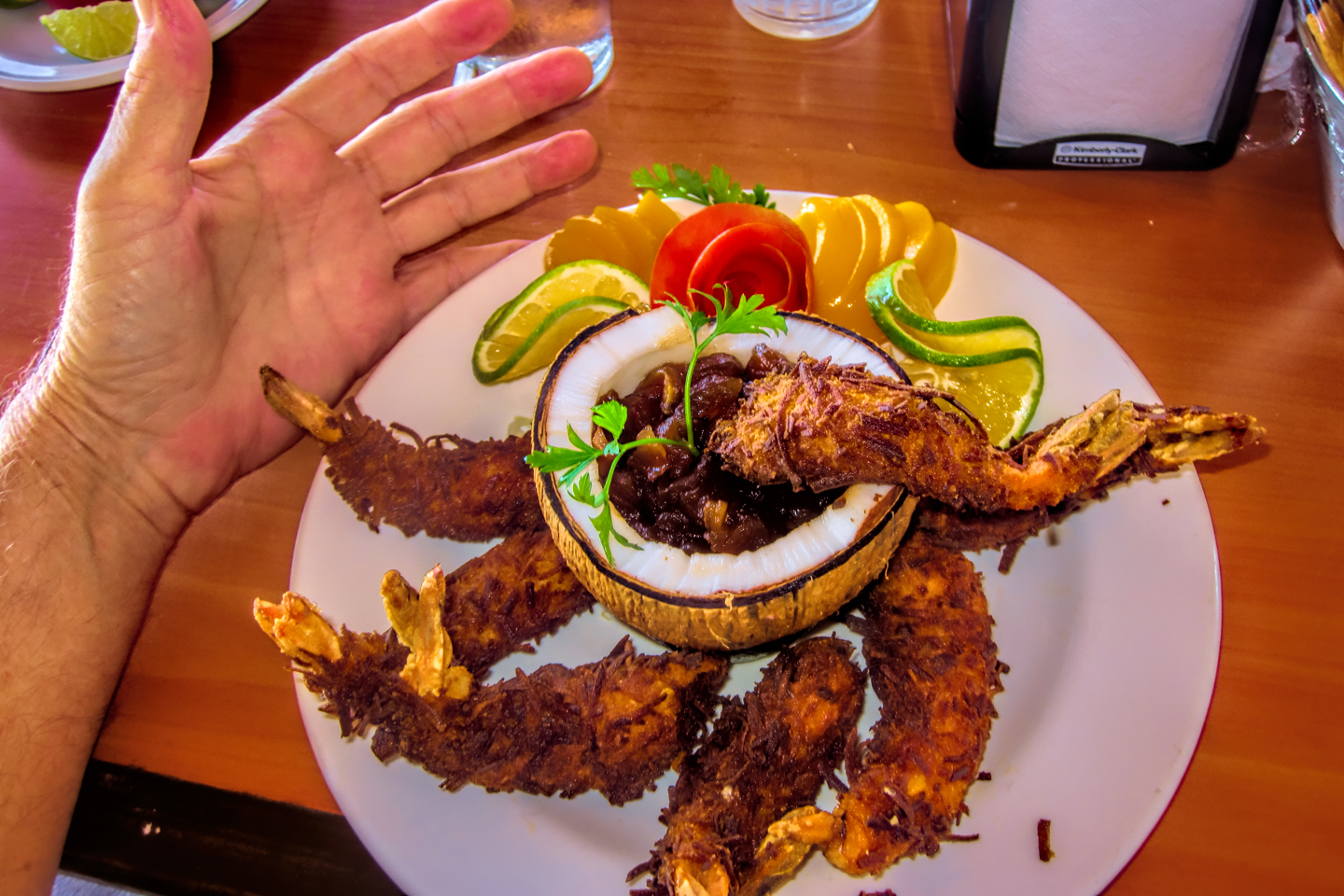
Campeche is one of the oldest cities in Mexico, founded by the Conquistadores in 1540, eighty years before the Pilgrims landed at Plymouth Rock. The historic city center is a UNESCO World Heritage Site, but passing through like we were, we didn’t see ANY of that. We had at least two more hours of driving before we’d get to Merida, so we decided to save Campeche for another day, when we had more time to explore, and perhaps stay the night. This time, we merely paused for lunch. The local specialty is shrimp, courtesy of one of the largest fleets of shrimp boats in the Gulf of Mexico. An open air seaside restaurant served up some of the best I’ve ever eaten!
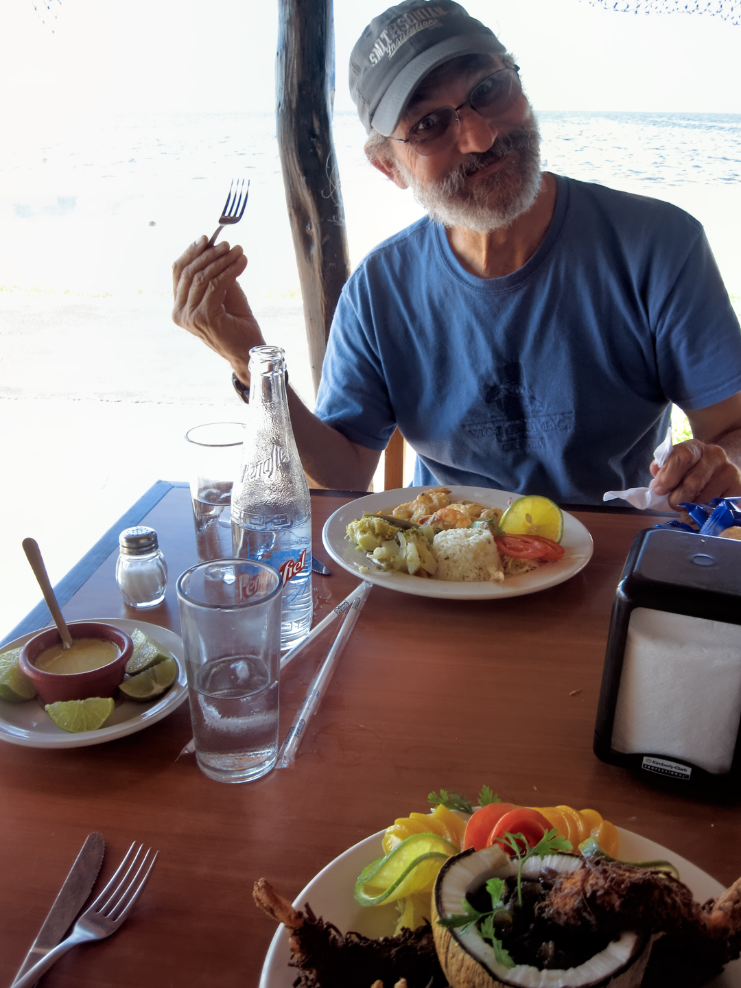
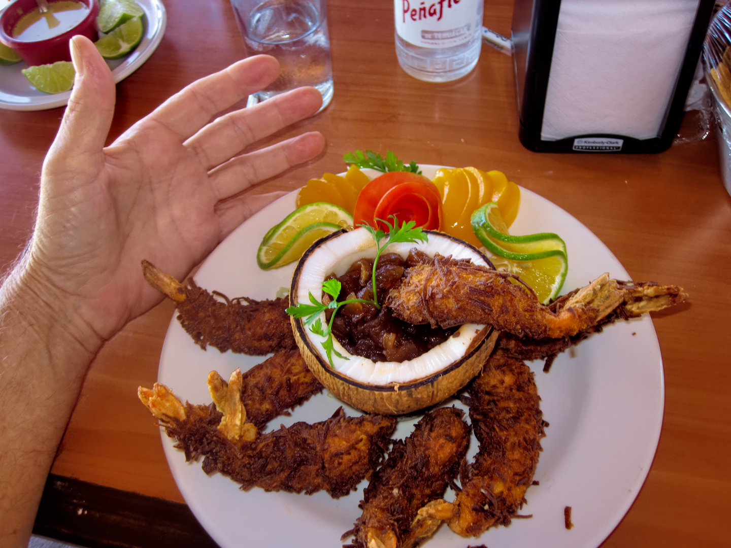
You’ve never eaten fresh shrimp until you’ve had it in Campeche!
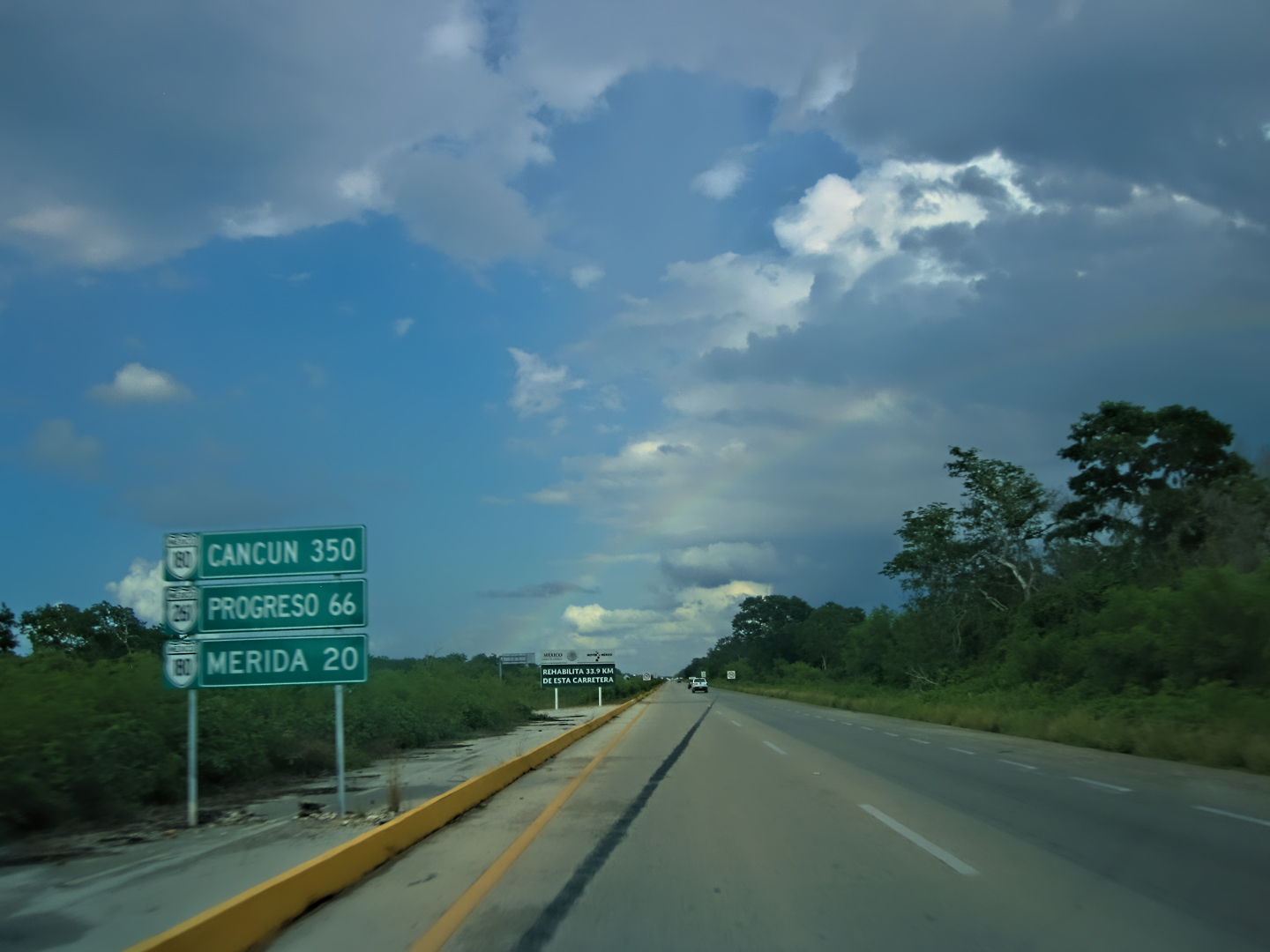
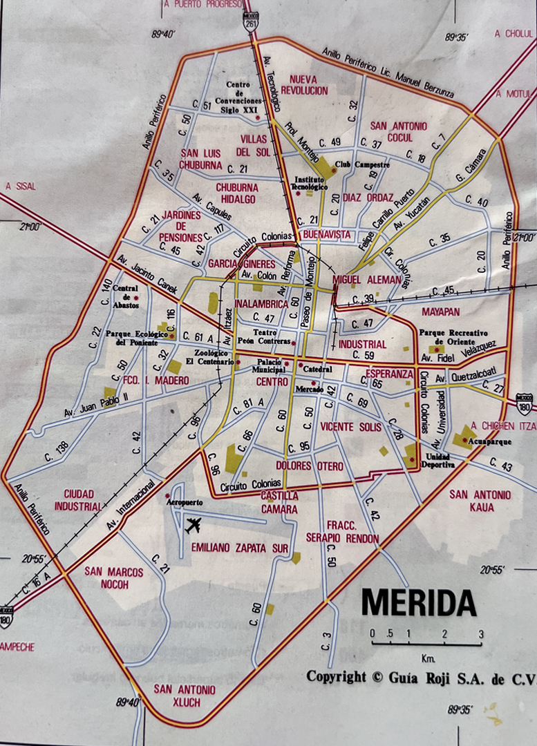
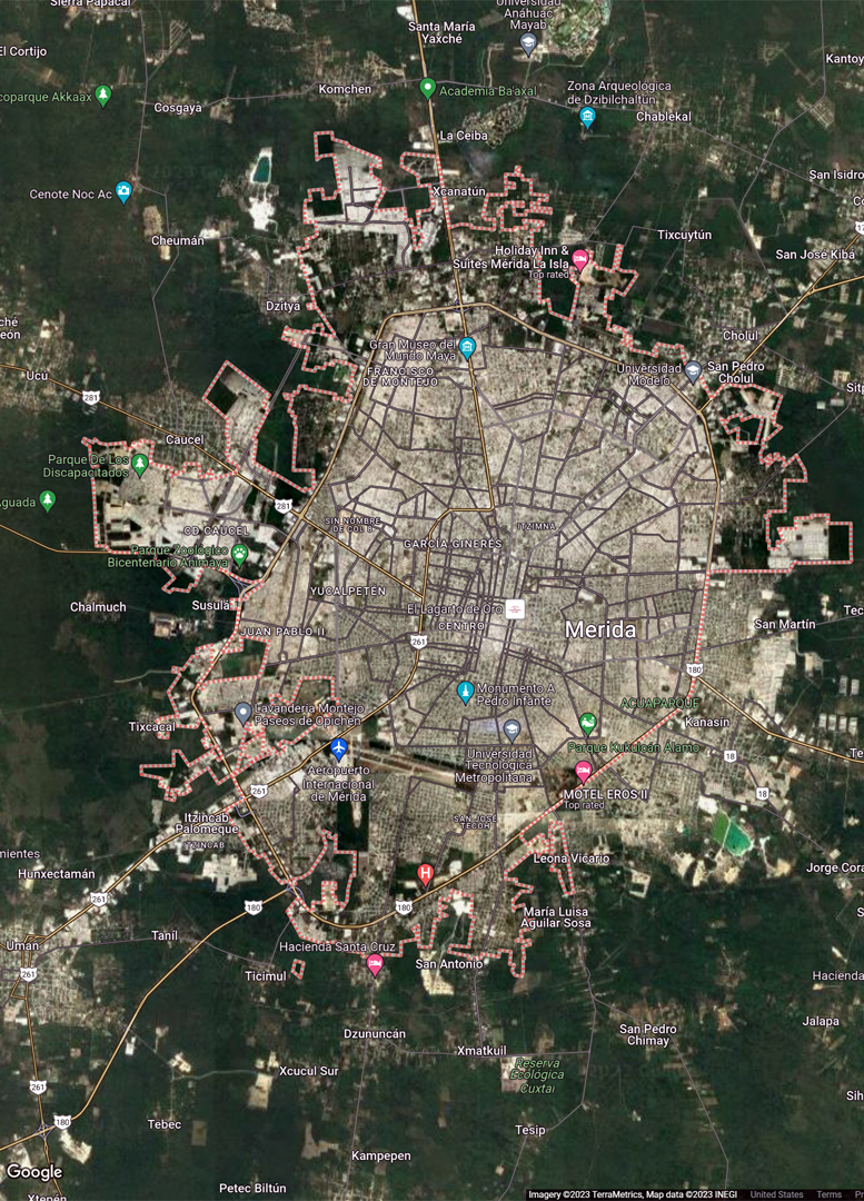
After Campeche, the Highway veered inland. It was a Toll Road, a true expressway, relatively new and in excellent condition, so we made short work of the 111 miles to the big town. Merida was not only the capital of the State of Yucatan, it was the largest city in southern Mexico, with a population of almost a million. Statistically, Yucatan is the safest of Mexico’s states, and Merida is widely considered the safest of all Mexico’s cities. There’s a relatively large population of expatriates, Americans and other foreign nationals who reside in Merida on a permanent basis, so I was very curious about it, wondering what it would be like to actually live there.
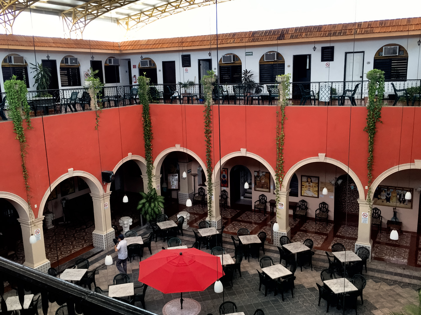
Tired from the drive, our first order of business was finding lodging, and because we didn’t know the city at all, we weren’t sure where to look. The main drag is the Paseo Montejo, a wide boulevard lined, at least in part, with stately old homes. We followed that toward the city center, until we spotted a likely prospect, the City Express Hotel. We booked a room, and even though the place was perfectly nice, I had immediate regrets. The hotel was a Marriott property, and that left us batting 1.000: every single hotel we’d stayed in so far was connected to an American chain, and I was quite certain we could do better than that, if only in price! Sitting in our room, using Google to figure out where to eat dinner, I had a flash of inspiration, and did a quick search on “cheap hotel rooms in Merida.” The search results included a link to the Mexican version of Expedia, and a quick search on that site helped me find a place that sounded perfect for us: The Dolores Alba Inn, near the old city center, and at $35 per night (in 2015), it was less than half what we were paying at the City Express. We planned to stay in Merida at least one more day, so I used Expedia to book us a room for the following night.
I had never used online booking sites in the past, because I figured I could get a better deal by walking in off the street and negotiating. The booking sites take a portion of the hotel’s profit, and they charge a fee to the traveler, so I blindly assumed that the bottom line cost would always be higher. I was also leery about reserving a hotel room sight unseen, not sure if the travelers’ reviews posted online could really be trusted. But I had an open mind. There was an obvious advantage to the consolidated listings, and the ability to compare prices and amenities, especially in an unfamiliar town. If the cheaper hotel proved to be even half as nice as it sounded in their ad, I just might have to revise my attitude!
DAY 7: MERIDA
We had a bland, boring continental breakfast at our hotel, then went back to the room to plan our next move. We’d be spending at least one, possibly two full days in Merida, and I wanted to hold the driving to a minimum. Traffic in the city was terrible, one confusing roundabout after another, and the streets were filled with idiots who apparently considered driving a blood sport.
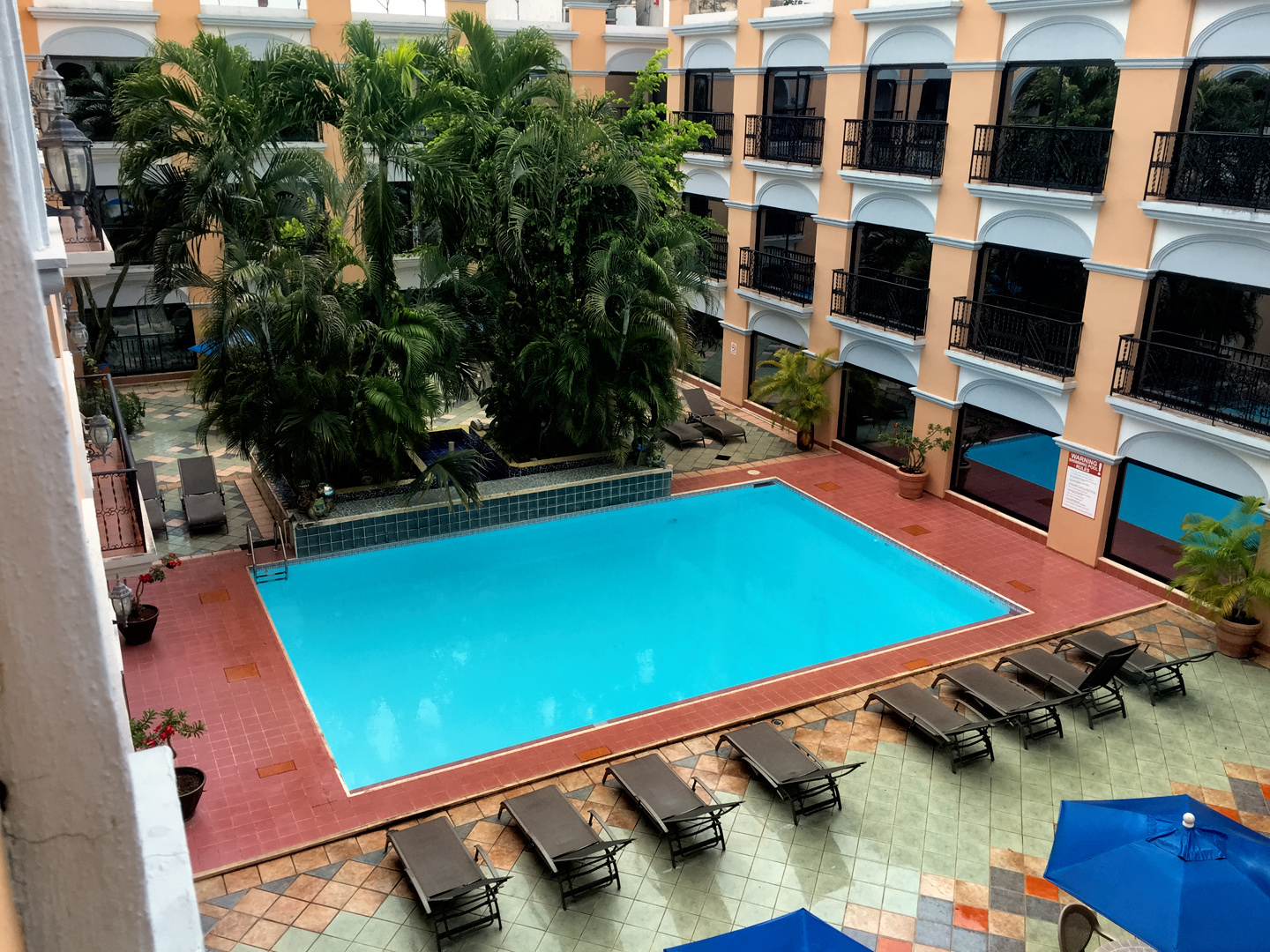
Our reservation at the Dolores Alba was all set and paid for, but the room wasn’t supposed to be available until 3:00. We drove over there anyway, and presented ourselves at the desk, to see if we could finagle an earlier check in. That wasn’t possible, unfortunately, but they did agree to let us leave the Jeep in their parking lot, and that was almost as good. The Dolores had a much better location than our first hotel. It was just three blocks from the main plaza, so we’d be able to do practically all our exploring on foot.
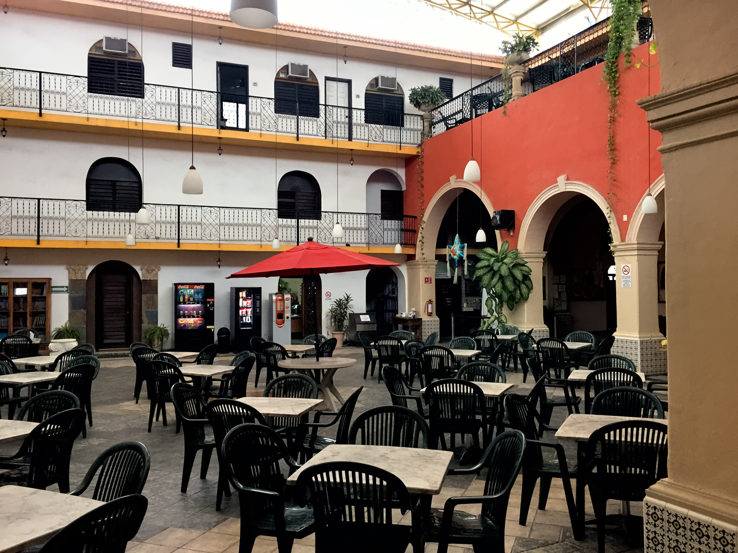
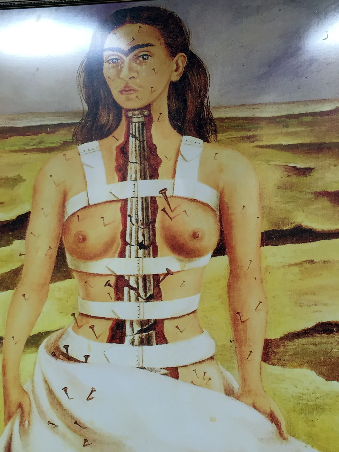
The Dolores was actually nicer than we expected, with a double courtyard, a pool on one side, and a dining area on the other. Prints of Frida Kahlo’s surrealistic paintings hung on the walls, setting the tone for the place. $35 per night for a double room seemed like an unusual bargain. I asked about their prices, and was quite surprised to learn that our rate was a special discount that was only available through Expedia, a big savings that more than offset Expedia’s booking fee. If we had walked in off the street, they would have charged us $50 for the same room, which was the opposite of what I would have expected. From that point forward, Expedia.mx became my method of first resort for finding and reserving hotel rooms in Mexico!
(Note: this road trip was in 2015; current prices and discounts will undoubtedly vary.)
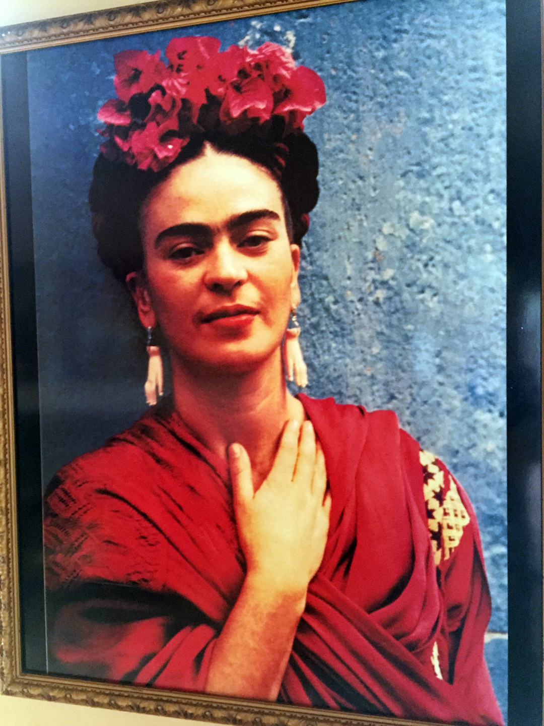
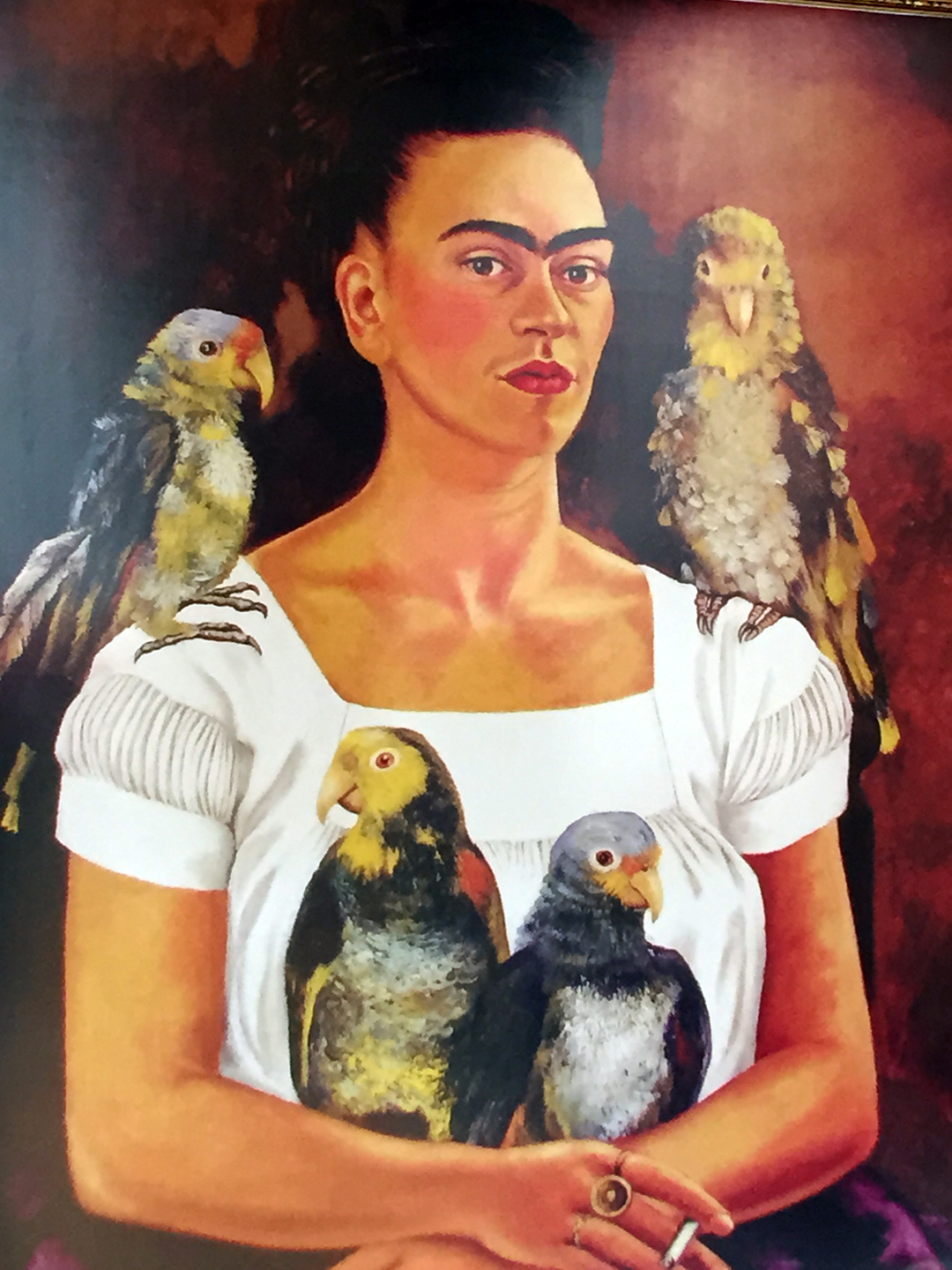
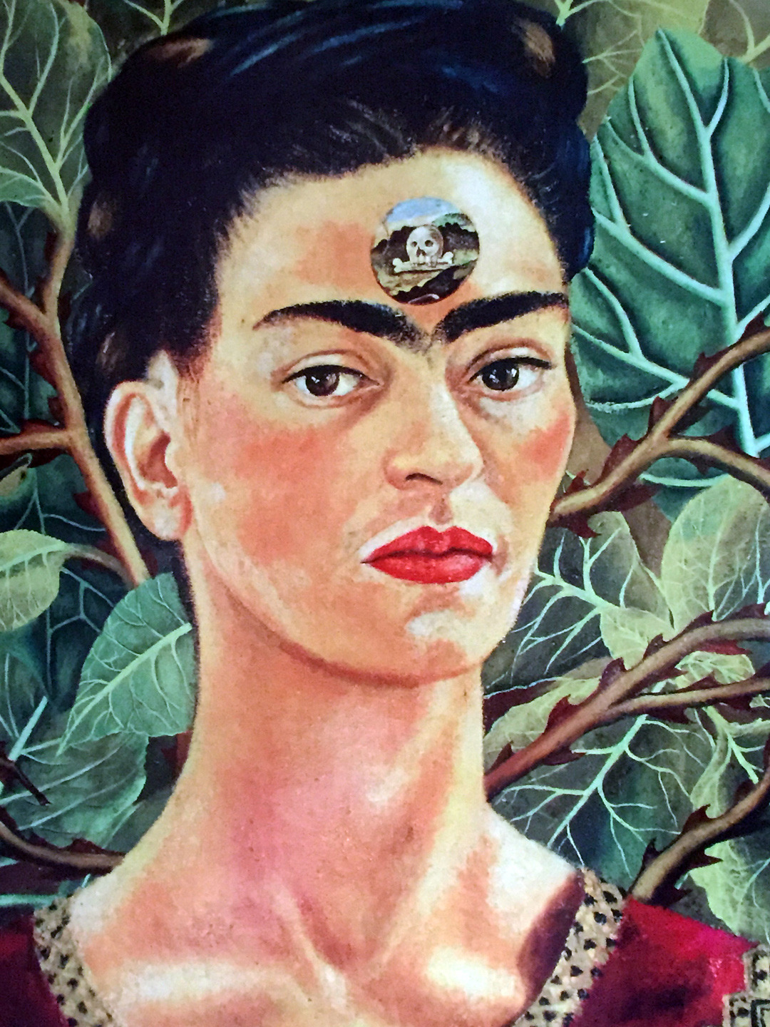
Prints of paintings by famed Mexican artist Frida Kahlo hang on corridor walls throughout the hotel
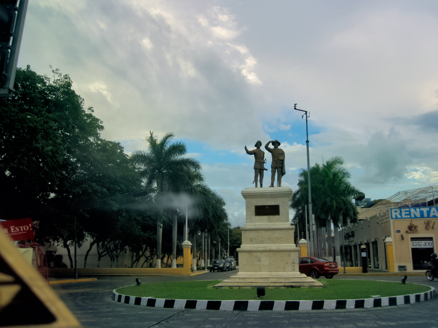
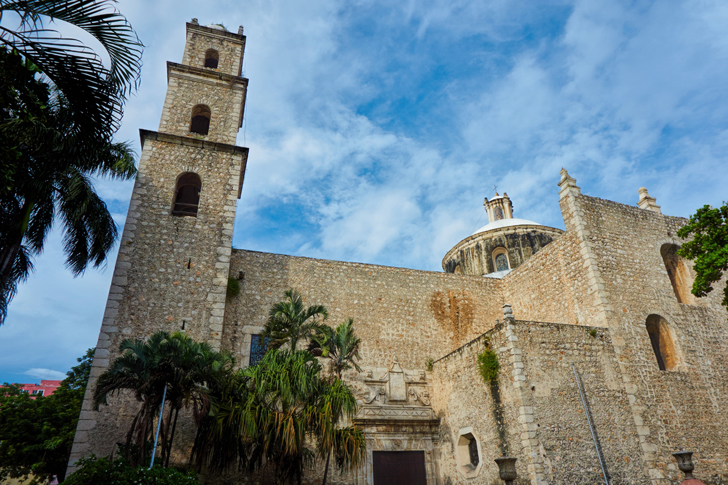
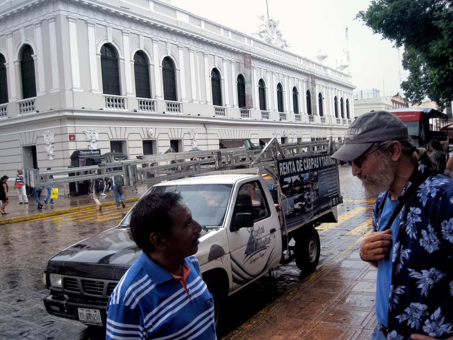
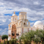
Merida is a Colonial City with a long history, dating all the way back to the 16th century. There is no “modern” downtown with steel and glass skyscrapers of the sort we saw in Monterrey and Queretaro. Instead, Merida, known as the “White City,” has a core of historic buildings, fine examples of the Spanish Colonial Architecture that once dominated this part of the world, featuring arches, colonnades, wrought iron, and elaborate cornices decorating old buildings plastered with white stucco. The cathedral on the main plaza dates back to 1562, and was built, at least in part, using stone recycled from ruined Mayan temples.
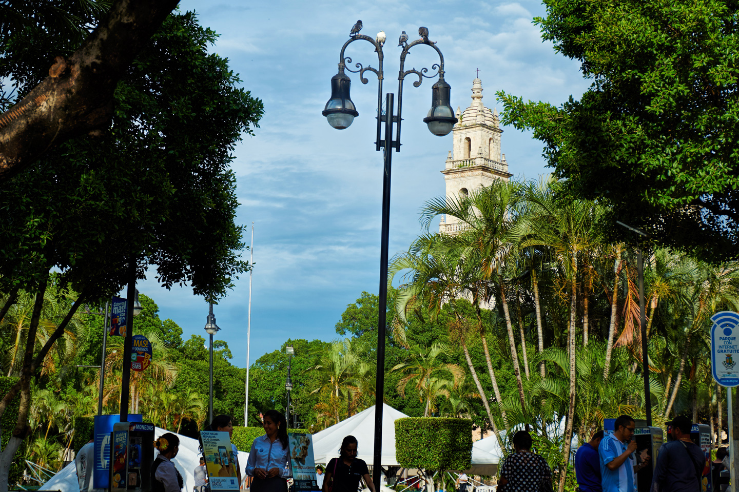
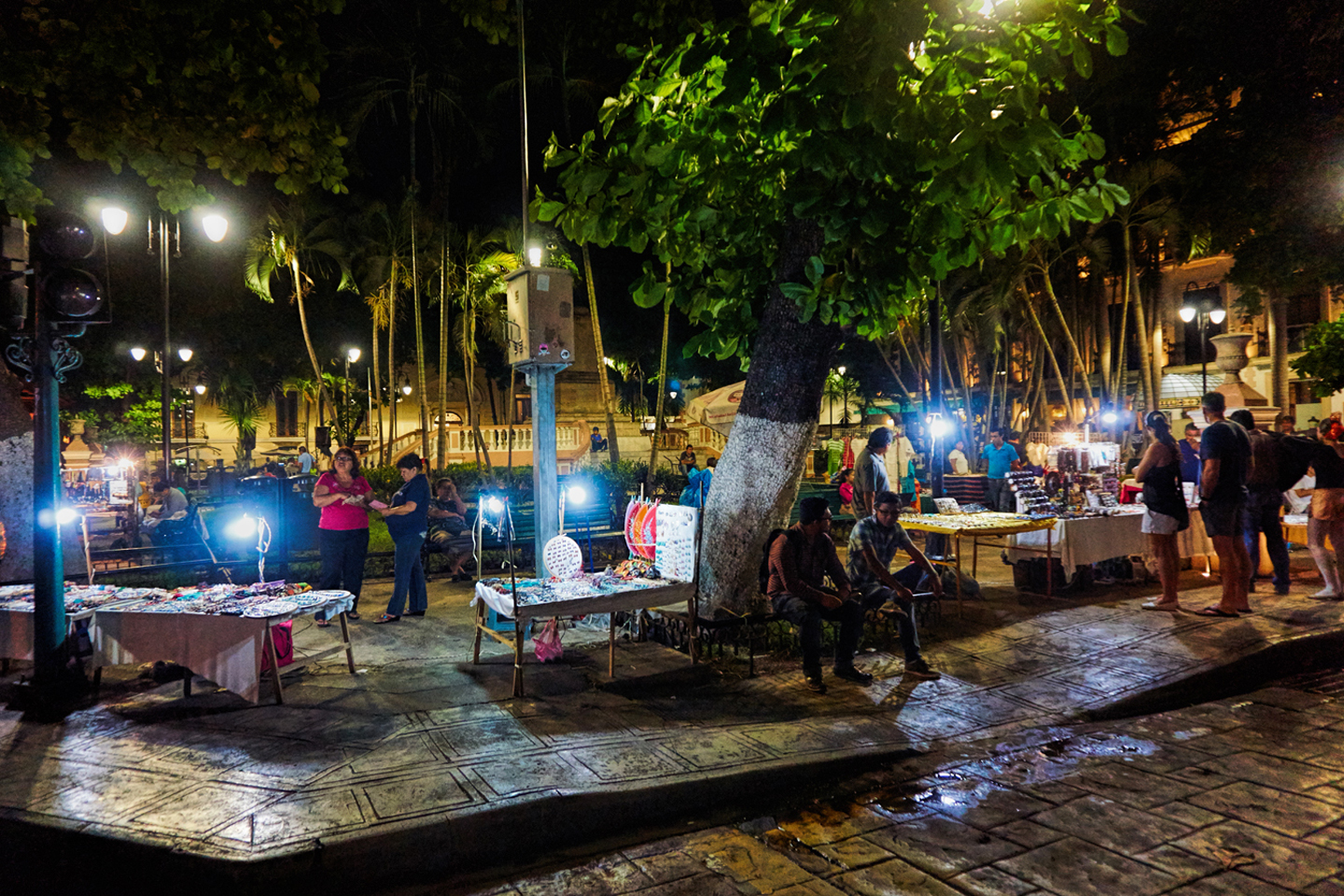
We spent the day wandering the area near the Plaza. The sky was cloudy, threatening rain, on and off, so it was a bit humid, yet not overly hot. The climate in Merida is a lot like South Florida, with balmy winters and steaming hot summers. This was October, so it was pleasantly in between.
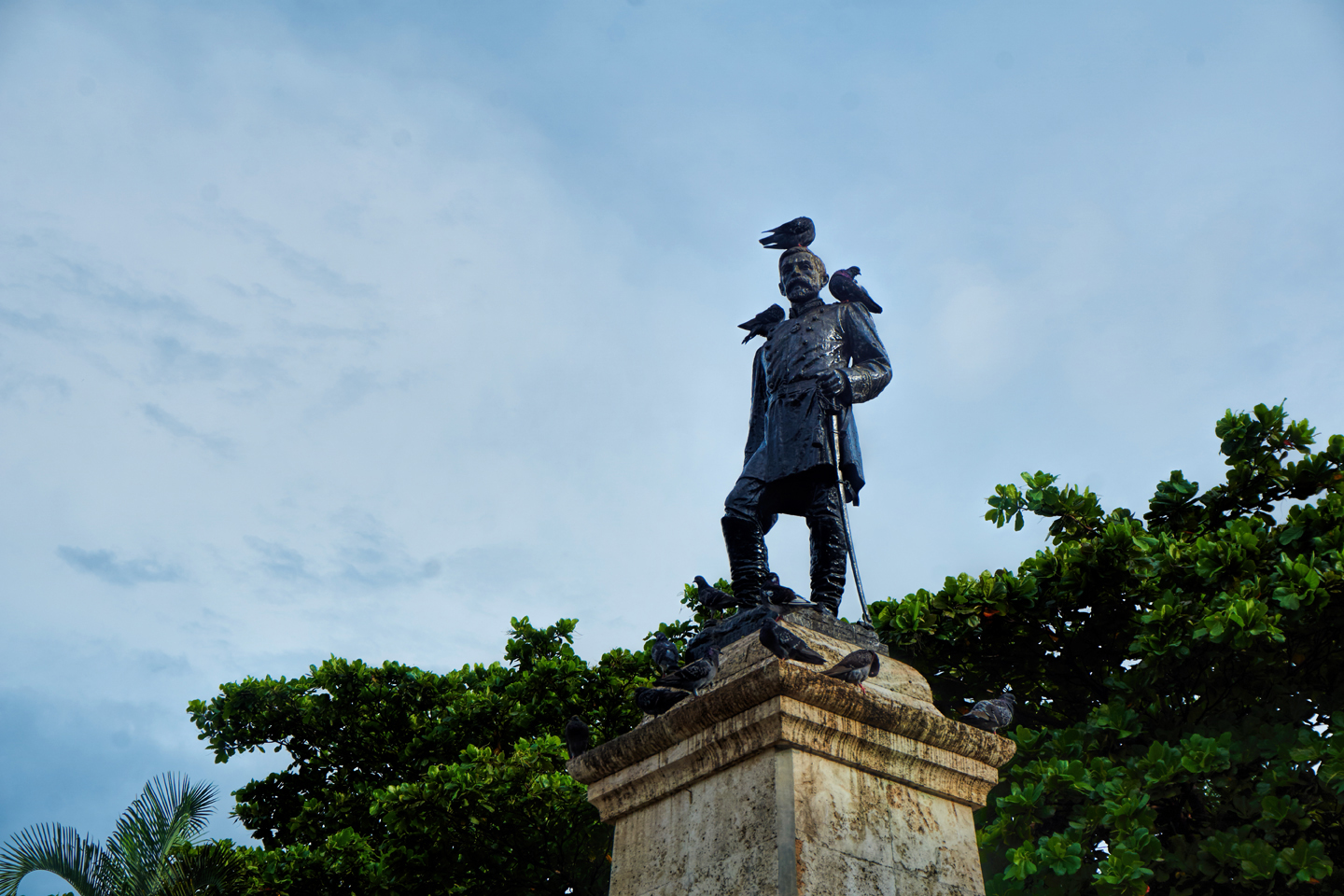
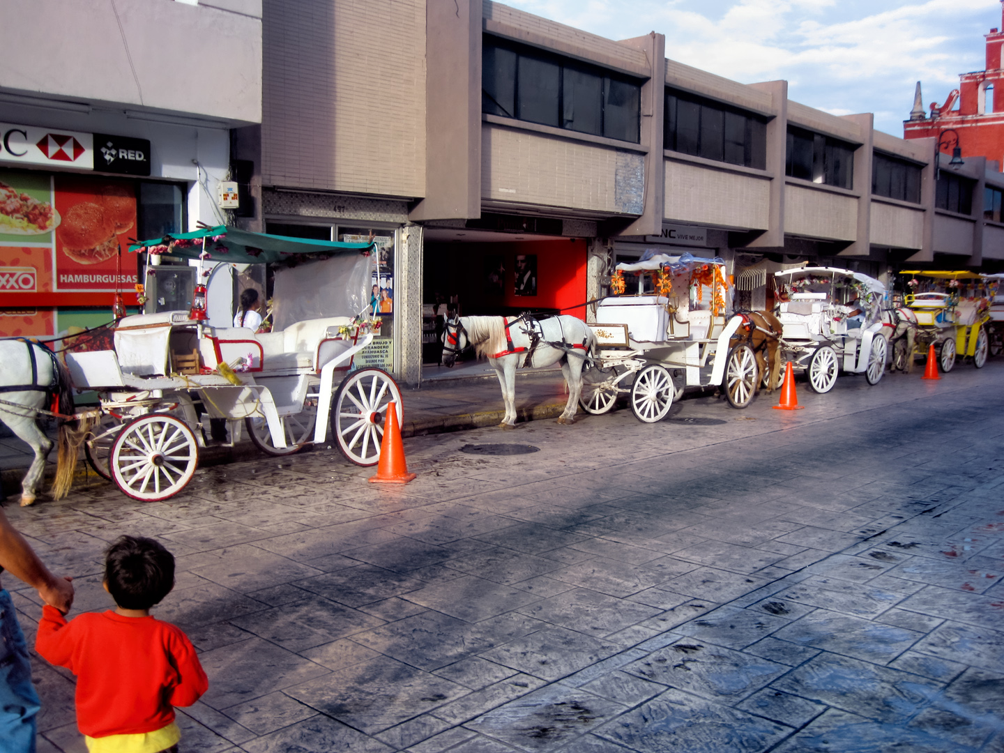
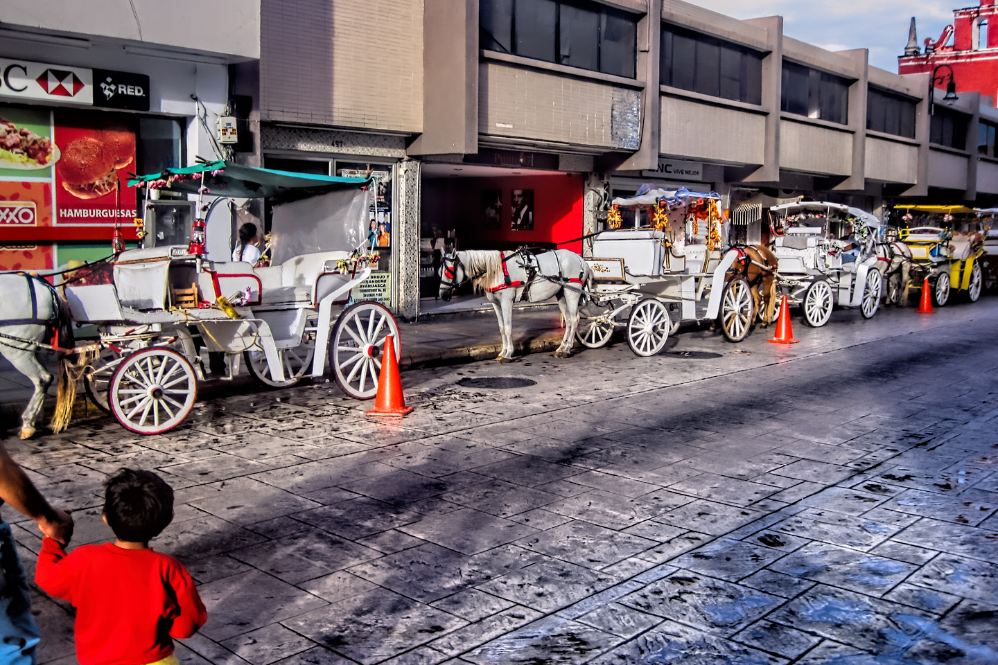
Merida was a walled city at one time in its history, fortified against the occasional native uprising, and some of the old city gates are still standing, as monuments to a very different era. Touring the downtown in a horse drawn carriage is a popular activity for tourists, as well as for locals.

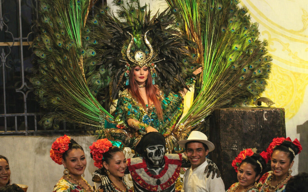
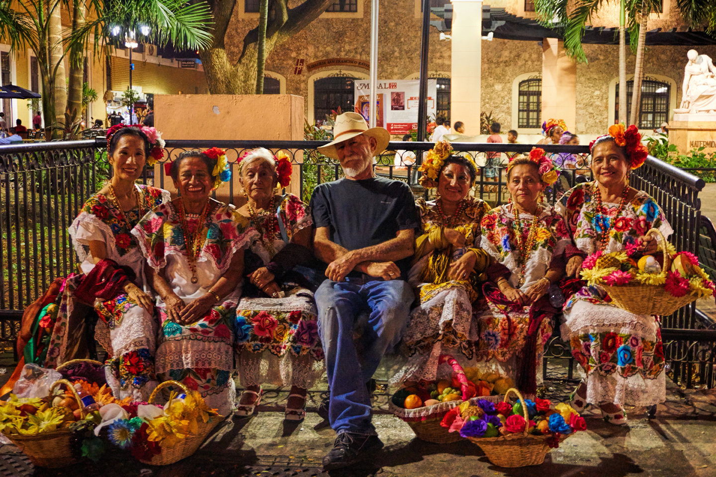
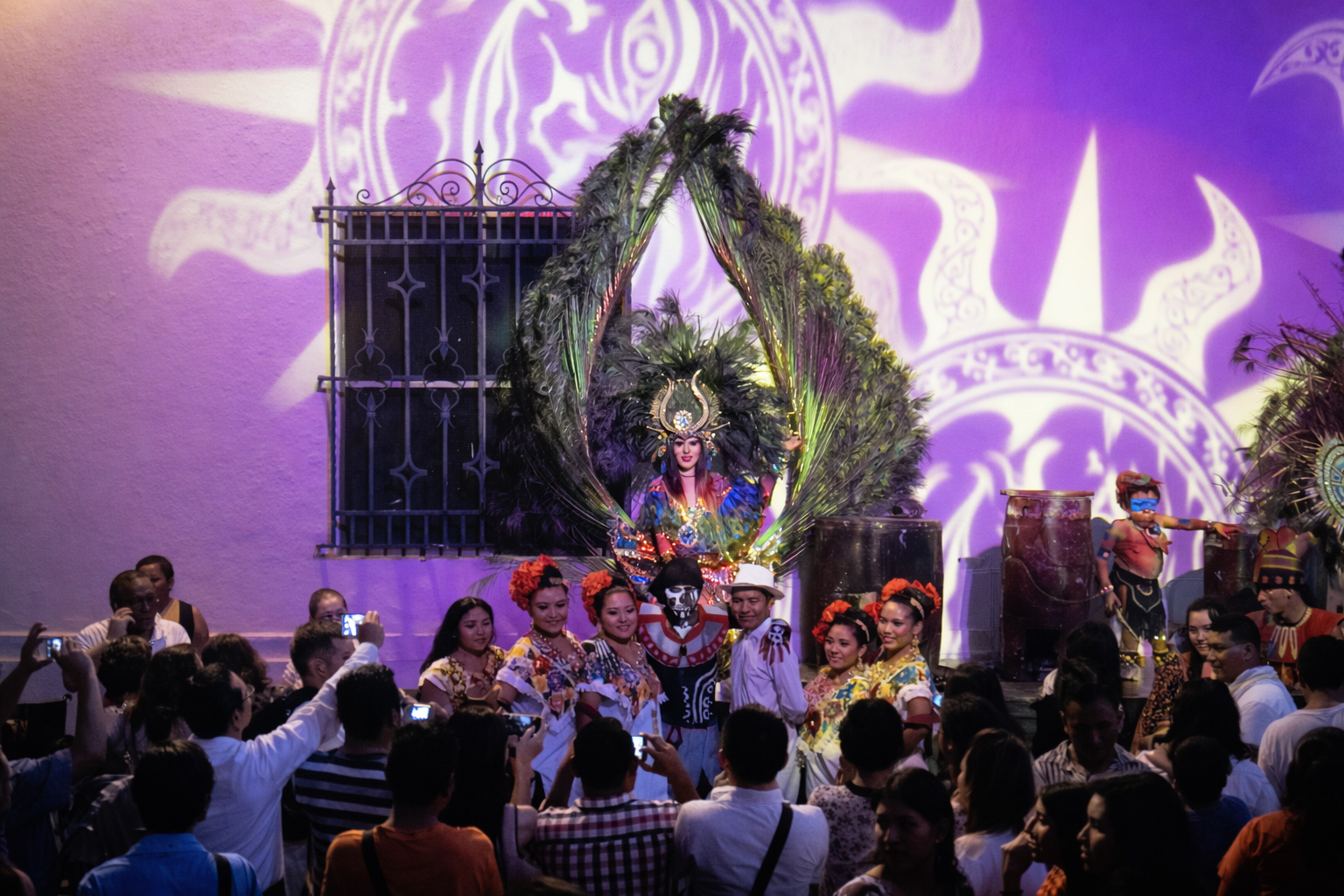
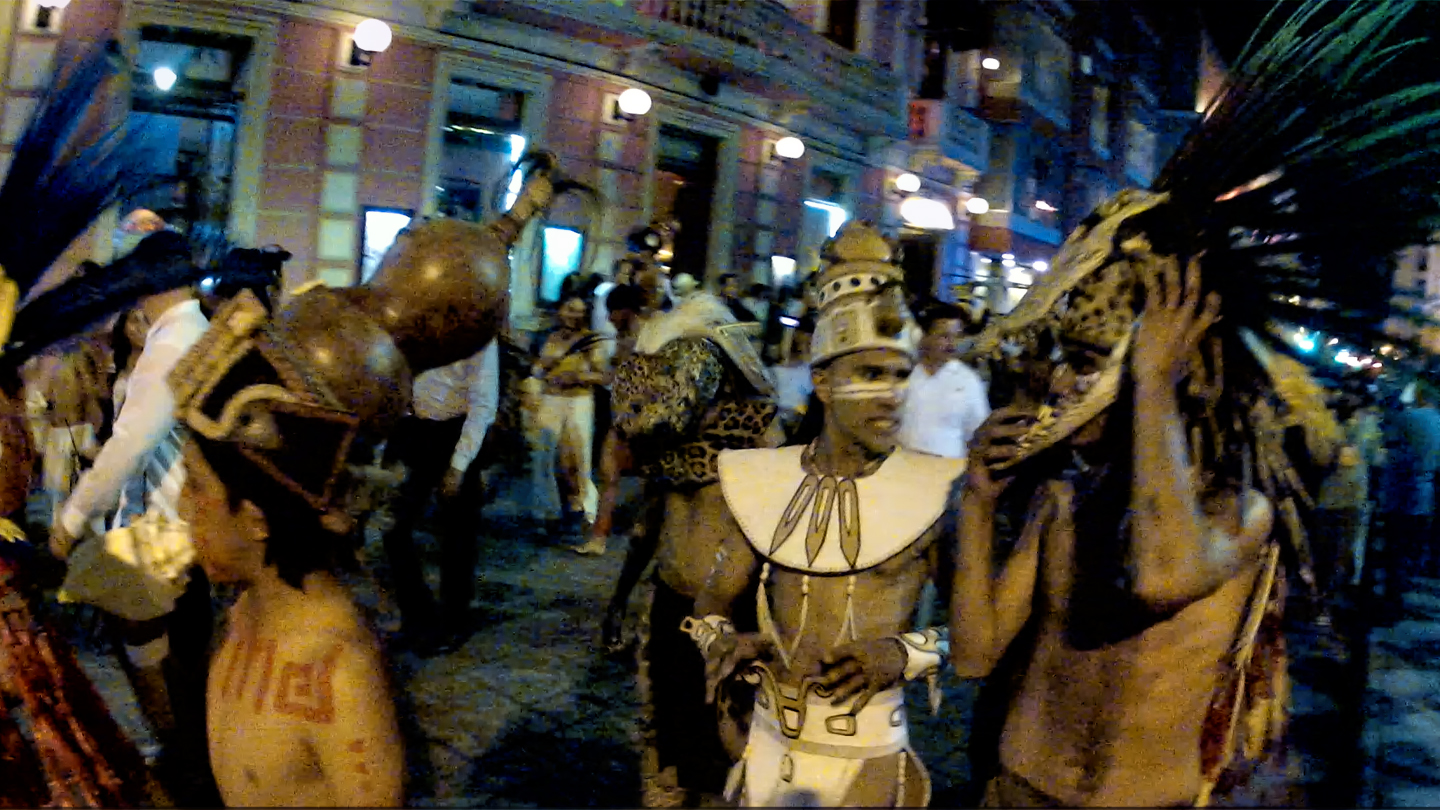
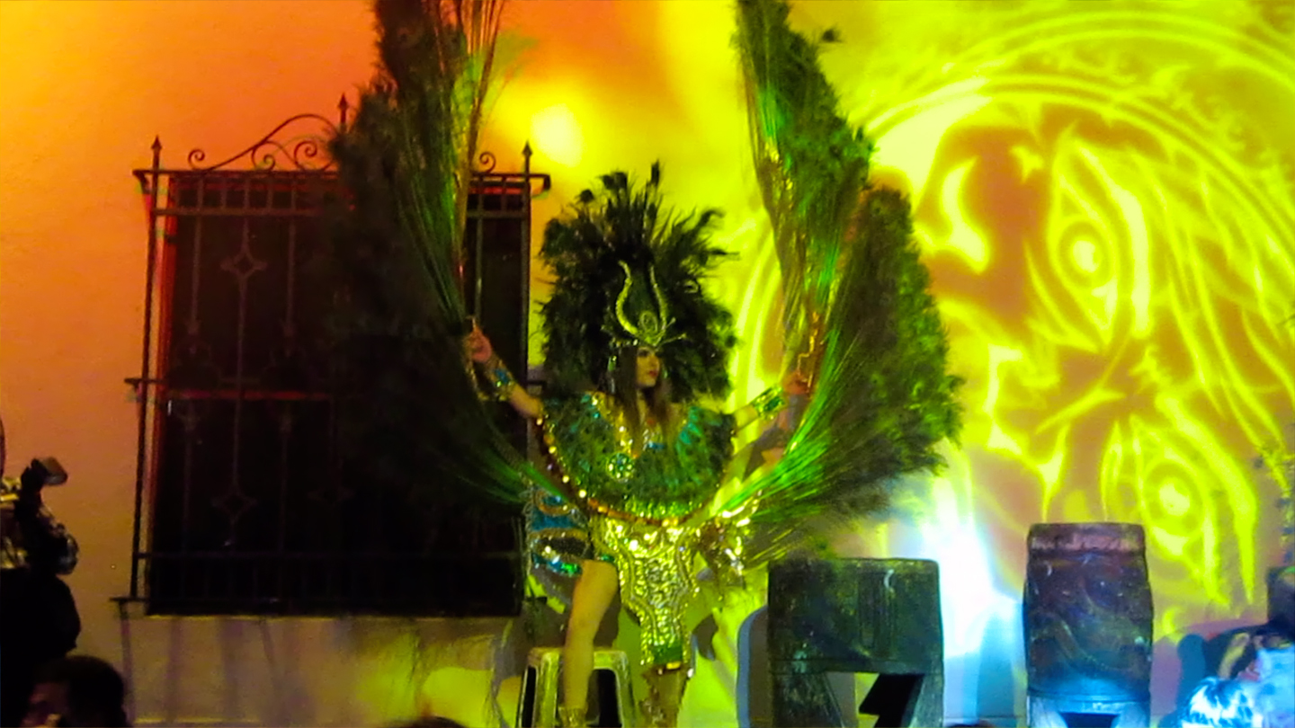
There was quite a bustle of activity around the square, preparations for the big Festival of the Maya that would be taking place over the next 10 days. That first night, the big event was going to be a recreation of the ceremonial ball game that was played in the ancient Mayan cities, and the following night, a huge celebration with costumed dancers. We met several local people that day, and they all made a point of inviting us to the festivities. We knew nothing about any of that in advance, so our excellent timing was purely a stroke of good luck!
One gentleman in particular, on the pretext of practicing his English, gave us a lengthy spiel about Panama Hats. The real ones come from Ecuador, and I knew a bit about them, because I used to live there, and I’ve traveled in the Province where they’re traditionally made. Our would-be friend informed us that they made them in the Yucatan as well, just as good and much cheaper! I expressed some skepticism about all that, and the next thing I knew, he’d steered us into a dingy, cluttered shop on the next block. This was his uncle’s store, he explained, and he’d get us the best deal in town.
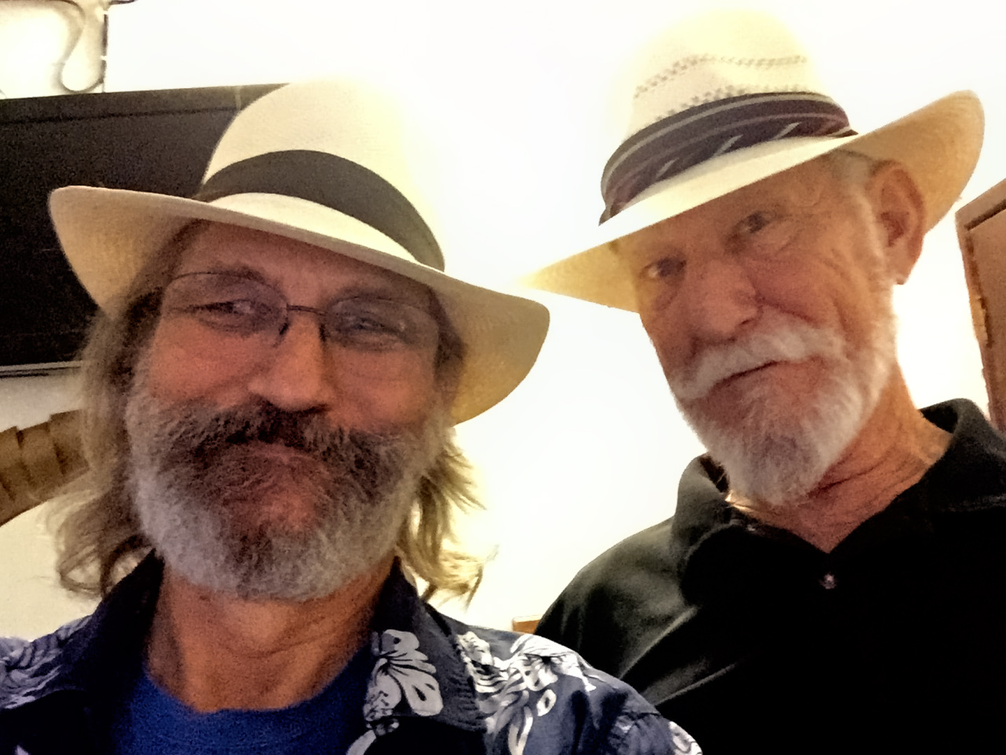
The “uncle” came out of the back and started in on the hard sell. A real Panama hat costs $200 or more, and these were selling for $80. I examined the weave, pointed out that it wasn’t all that tight, and offered him $40. After some back and forth, Mike and I each bought a hat, and paid just $50 apiece. The price seemed fair, and we felt pretty smug about our bargaining skills, until later that day, when we discovered that everywhere else in town, the same hats were selling for as little as 750 Pesos–which was about forty bucks!
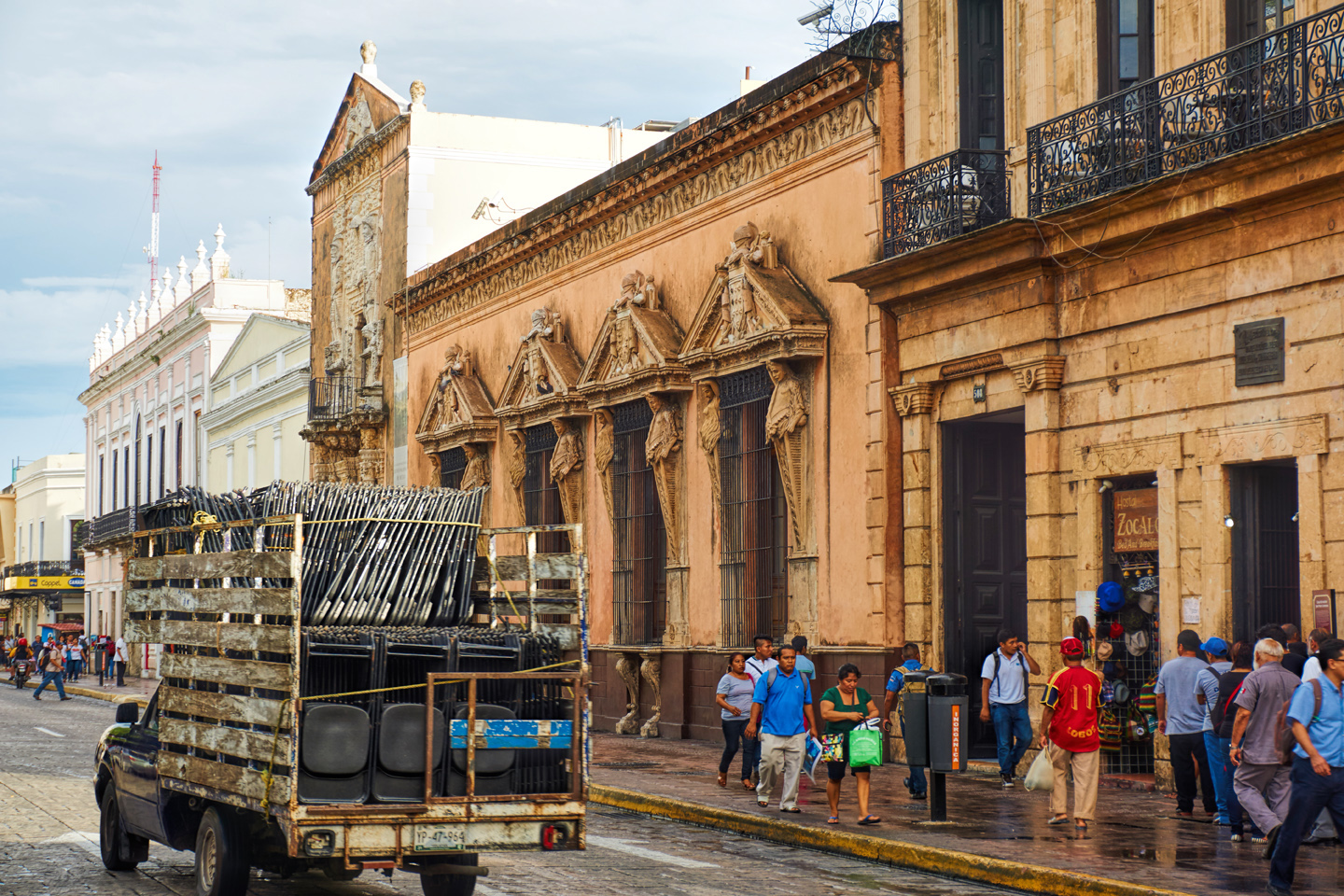
Merida was a friendly town, and we didn’t feel unsafe in any part of it, not even when wandering in the public market, or down by the bus terminals, traditionally the sketchiest neighborhoods in any city. There were numerous displays of public art on and around the Grand Plaza, but my favorite had to be the Staircase Murals, painted by Mexican artist Fernando Castro Pacheco in the early 1970’s. They can be seen above a staircase in the courtyard of Merida’s Palace of Government:
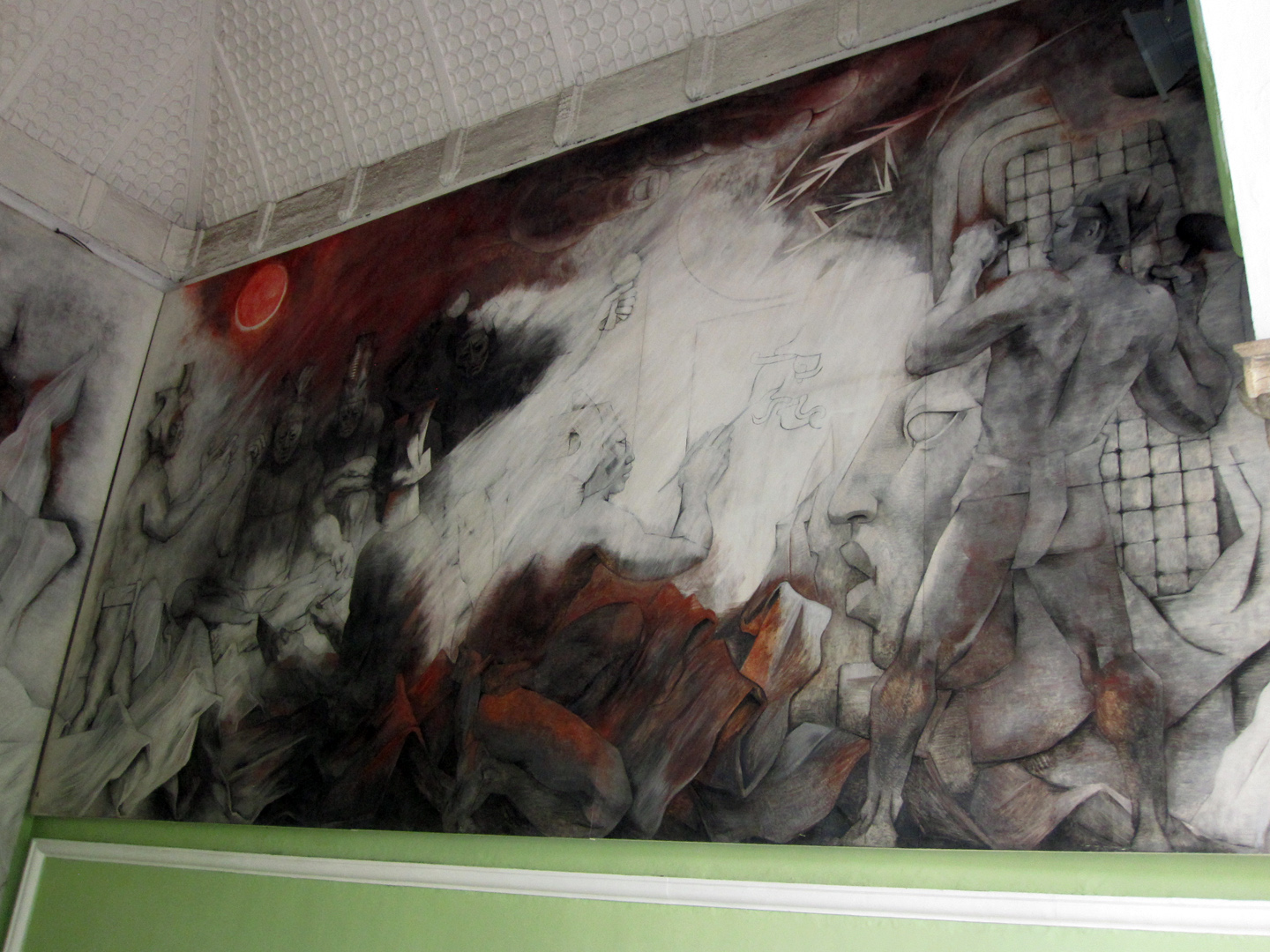
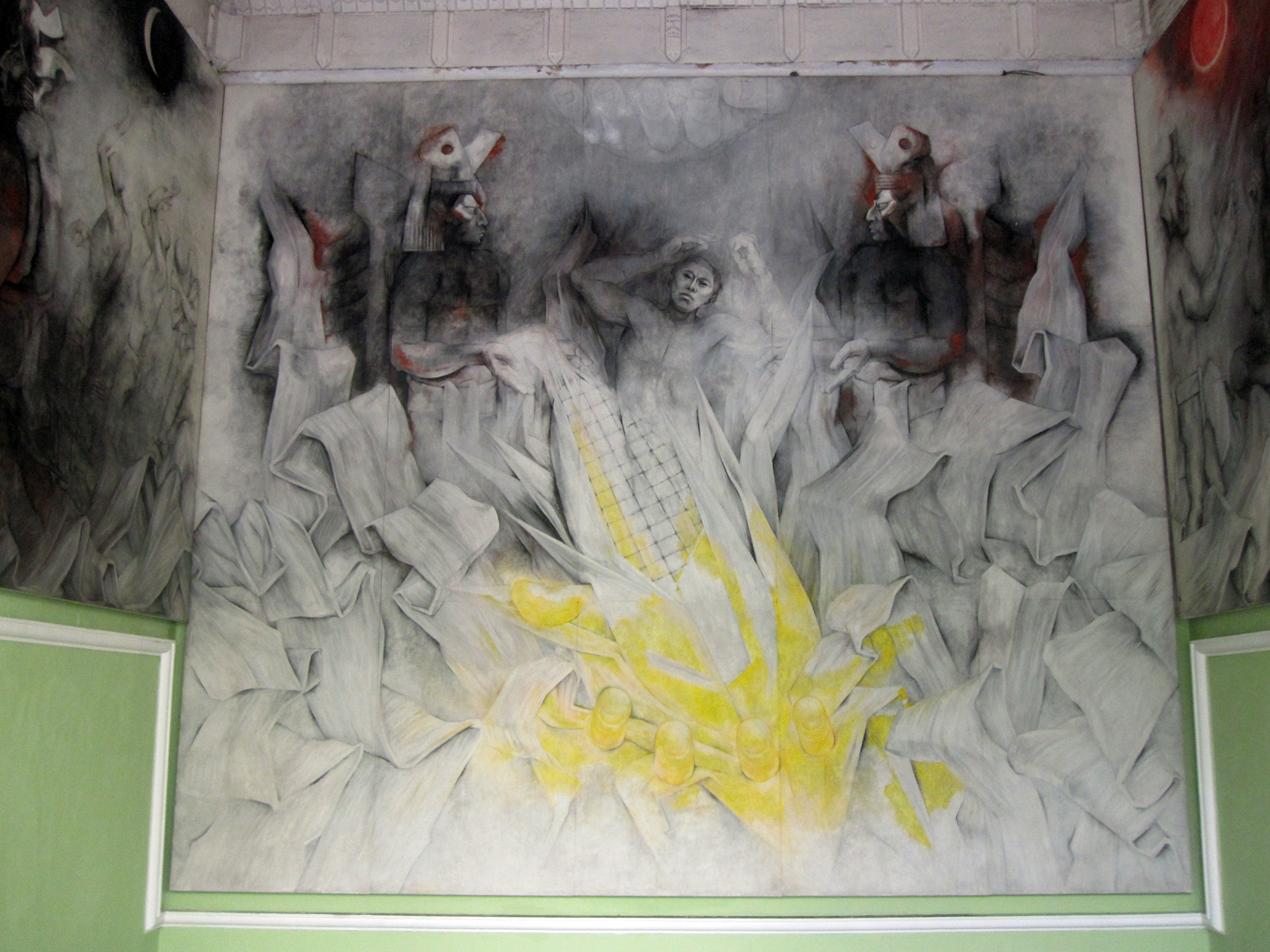
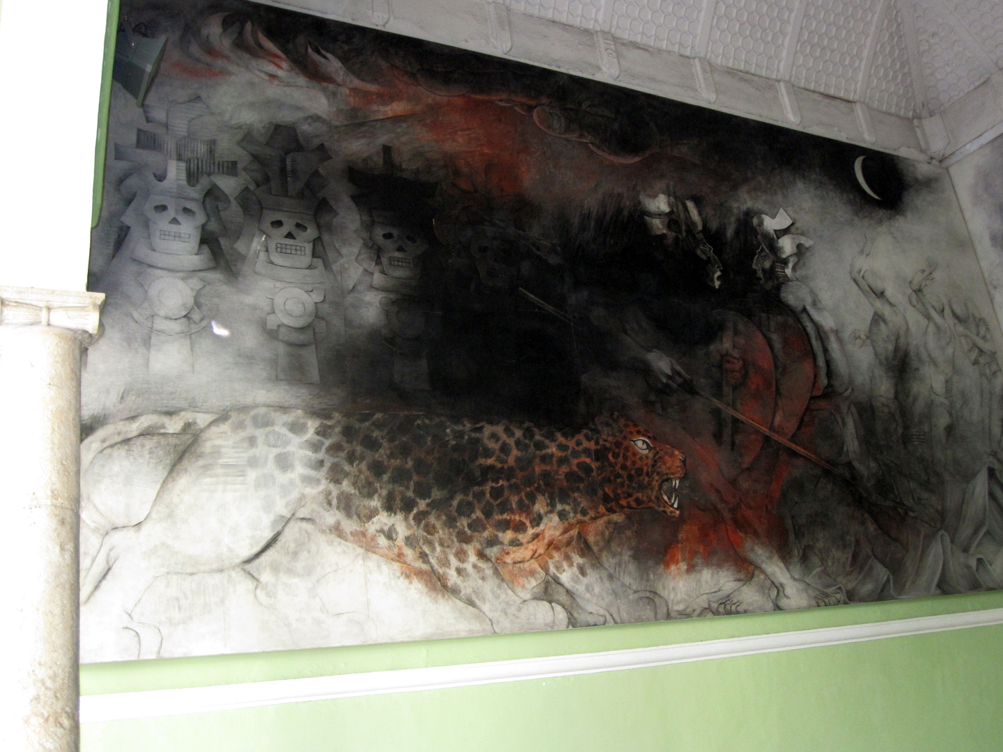
The Staircase Murals, by Fernando Castro Pacheco
By the end of that day we were pretty well beat from all the walking, so after an early dinner, we headed back to our room, and skipped the Mayan Ball Game. (One of many lazy decisions I later regretted!)
DAY 8: MERIDA
Having missed the opening night of the Maya Festival, I was determined to make the most of the celebration planned for the second night, on Day 8 of our Road Trip. I extended our stay at the Dolores Alba for one more night, and we spent the morning and afternoon wandering the city. The more I saw of Merida, the better I liked it. It was easy to imagine renting a house there some day, and sticking around for a while.
That night, the dancers and their costumes were extraordinary. There were no strangers in the crowd, and I don’t think I’ve ever felt quite so included in a public fiesta!
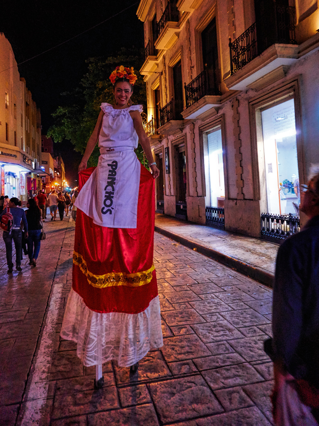
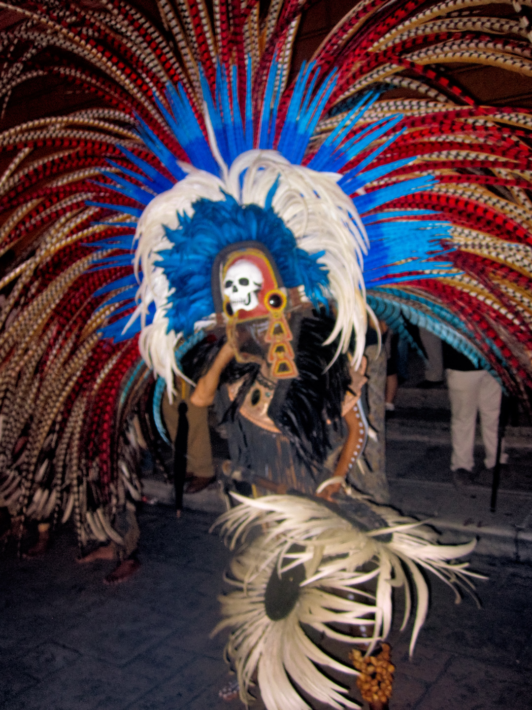
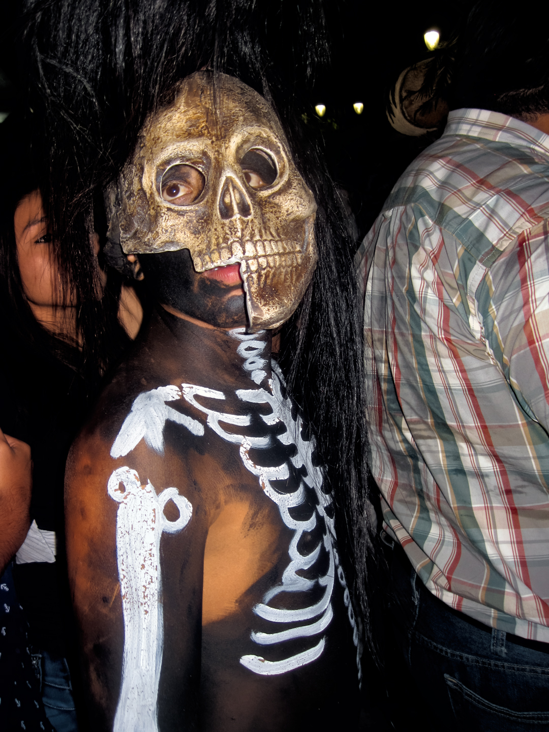
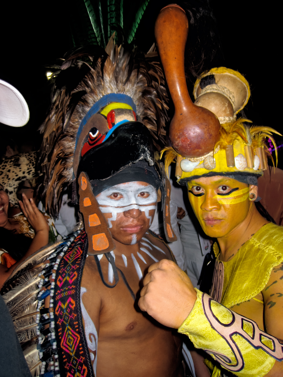

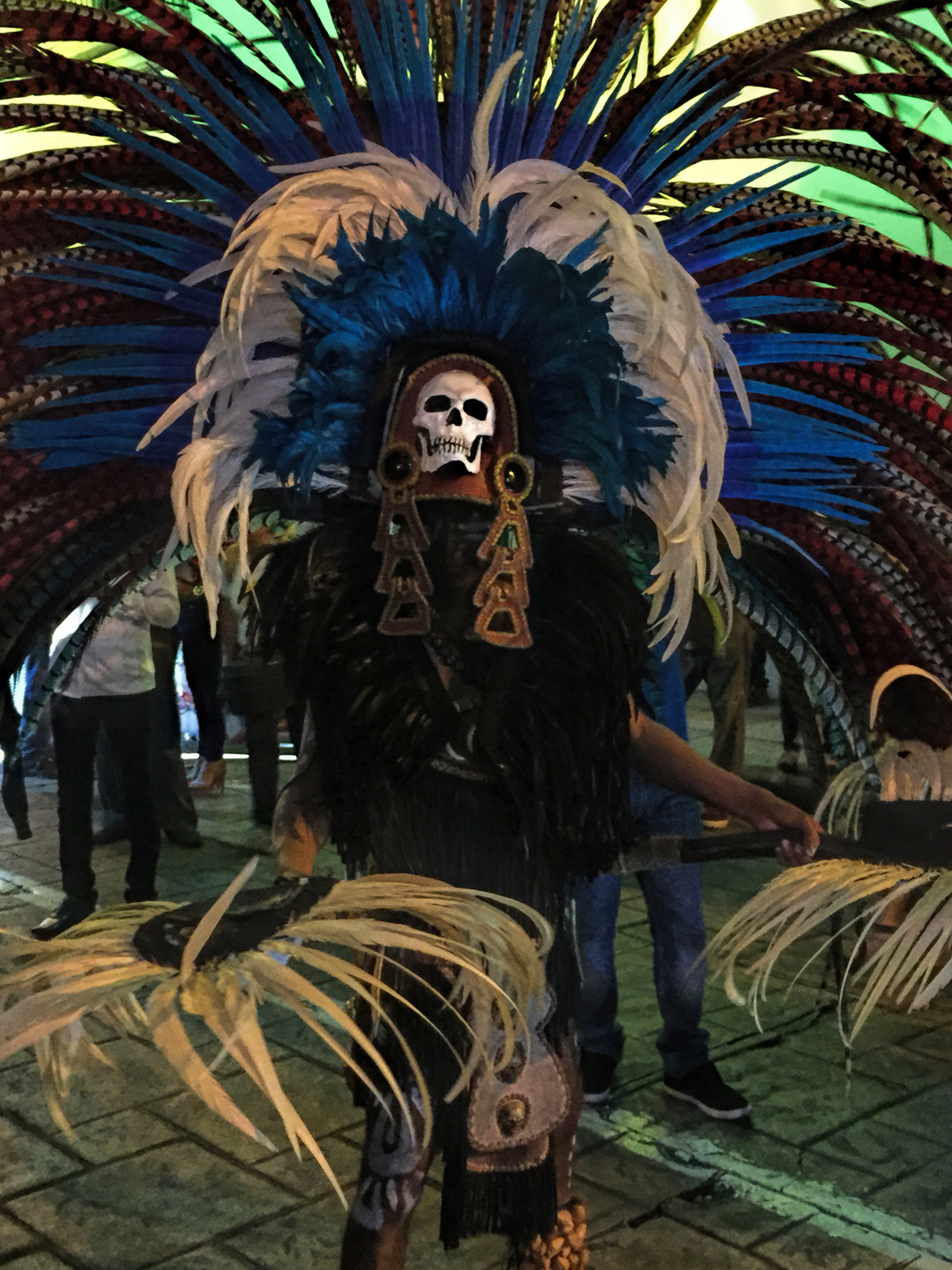
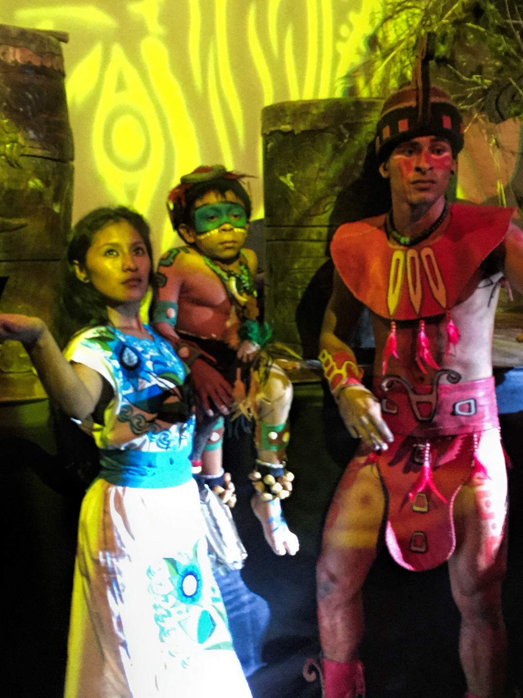
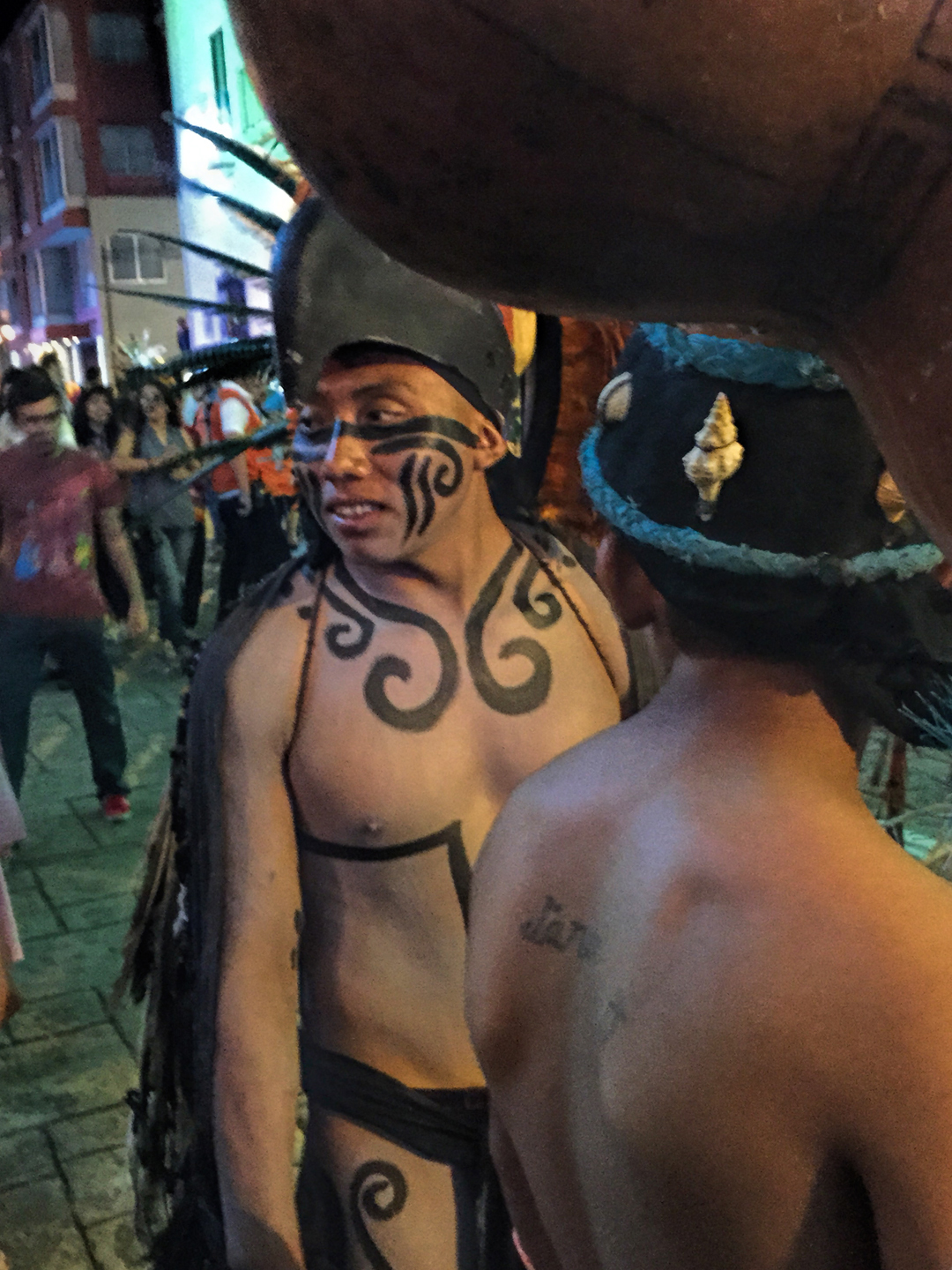
The elaborate costumes are unique, with a Mayan flair that permeates the crowd. Everyone on the street joins in the celebration!
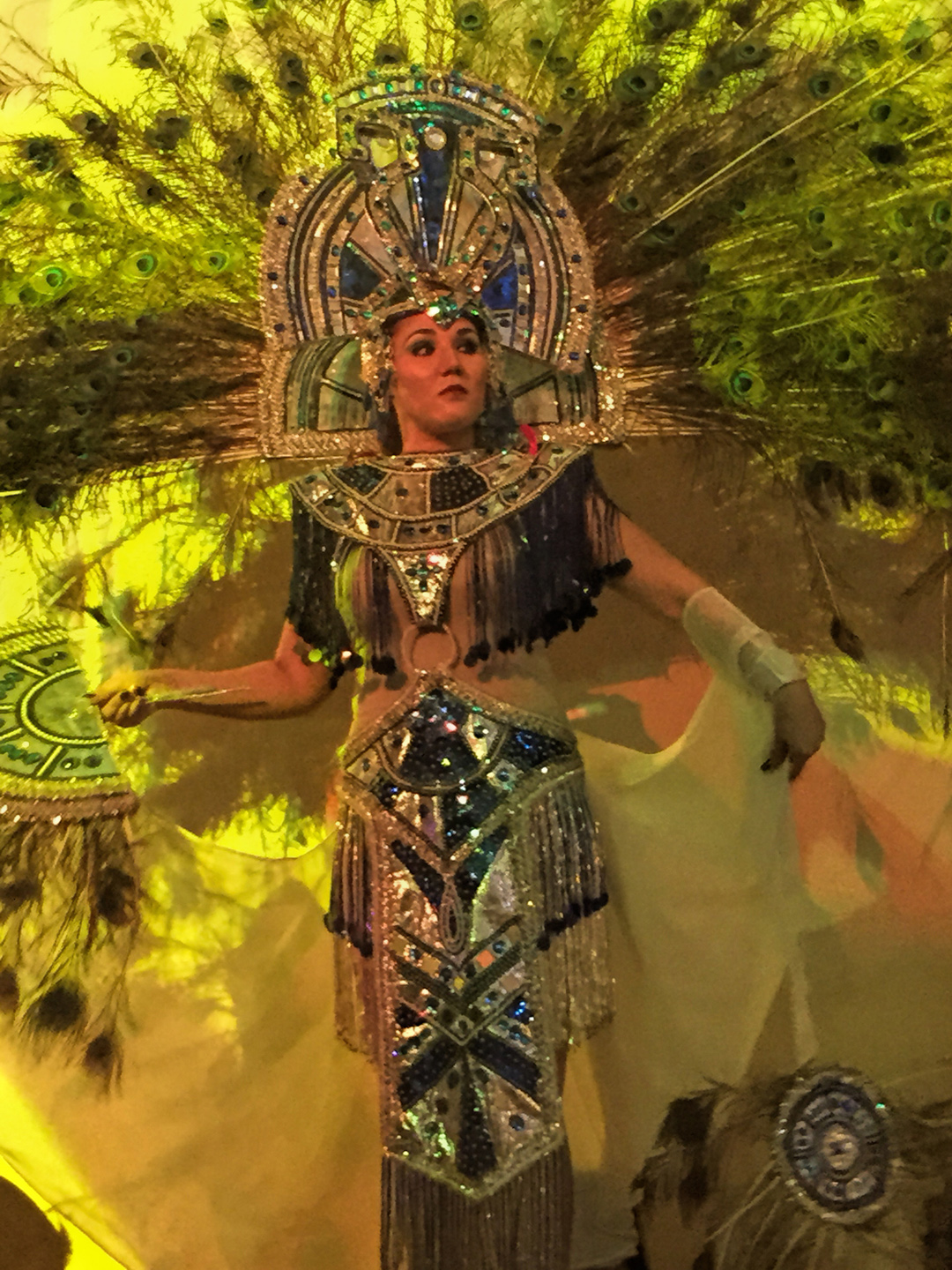
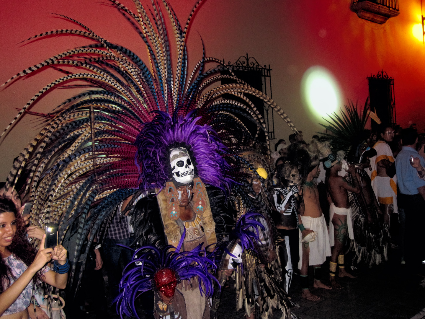
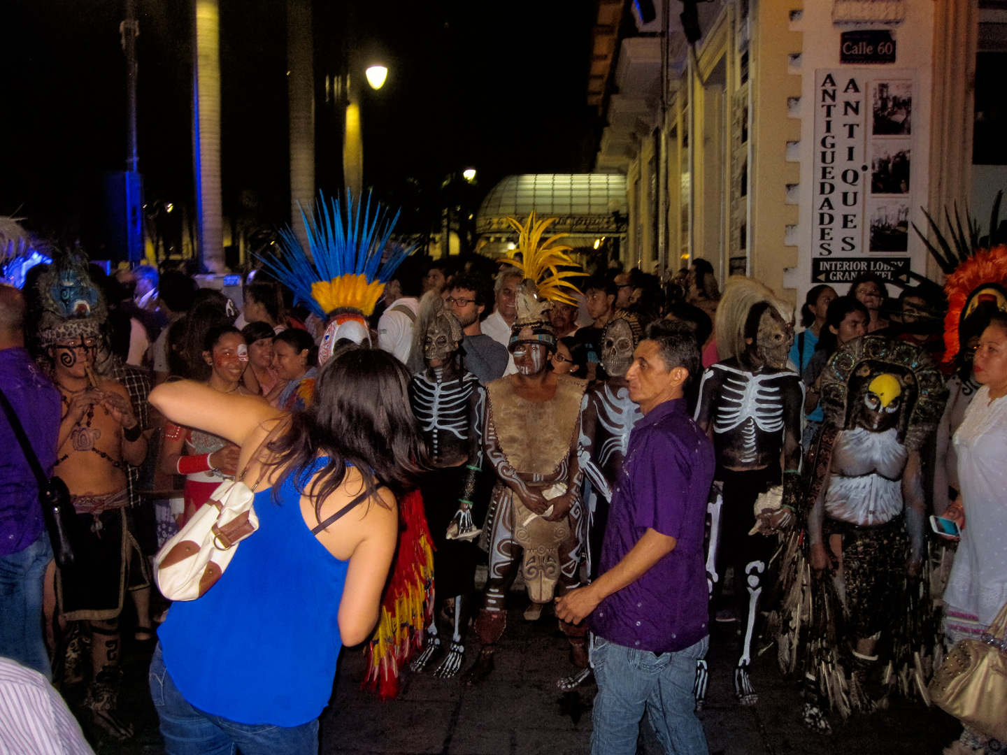
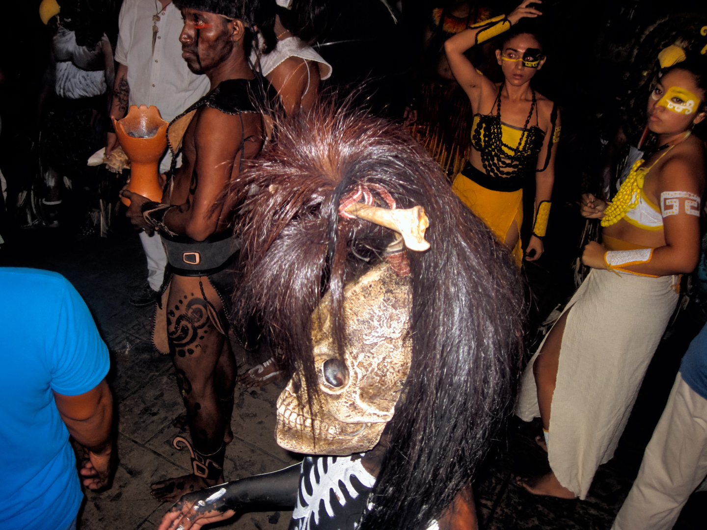
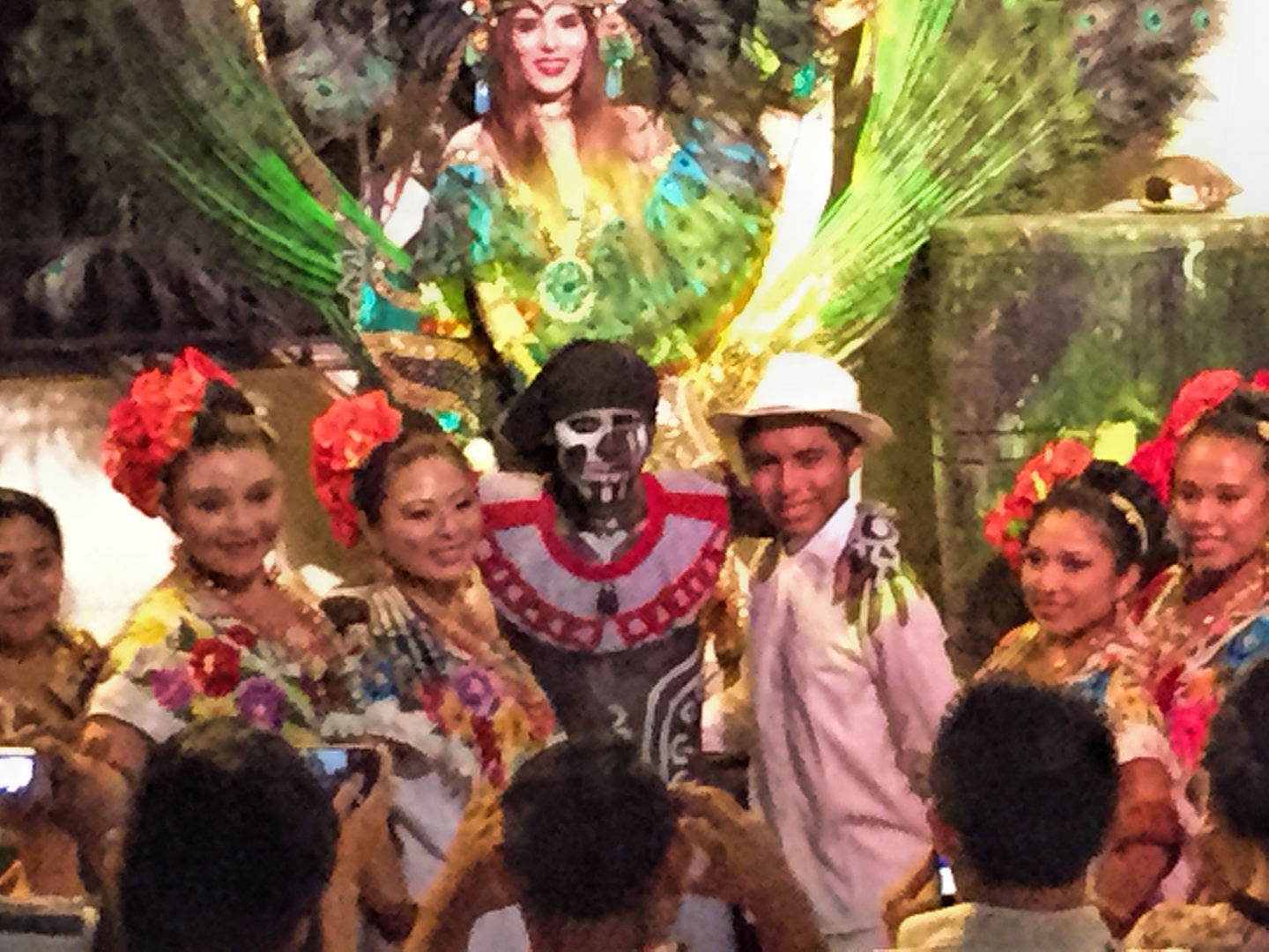
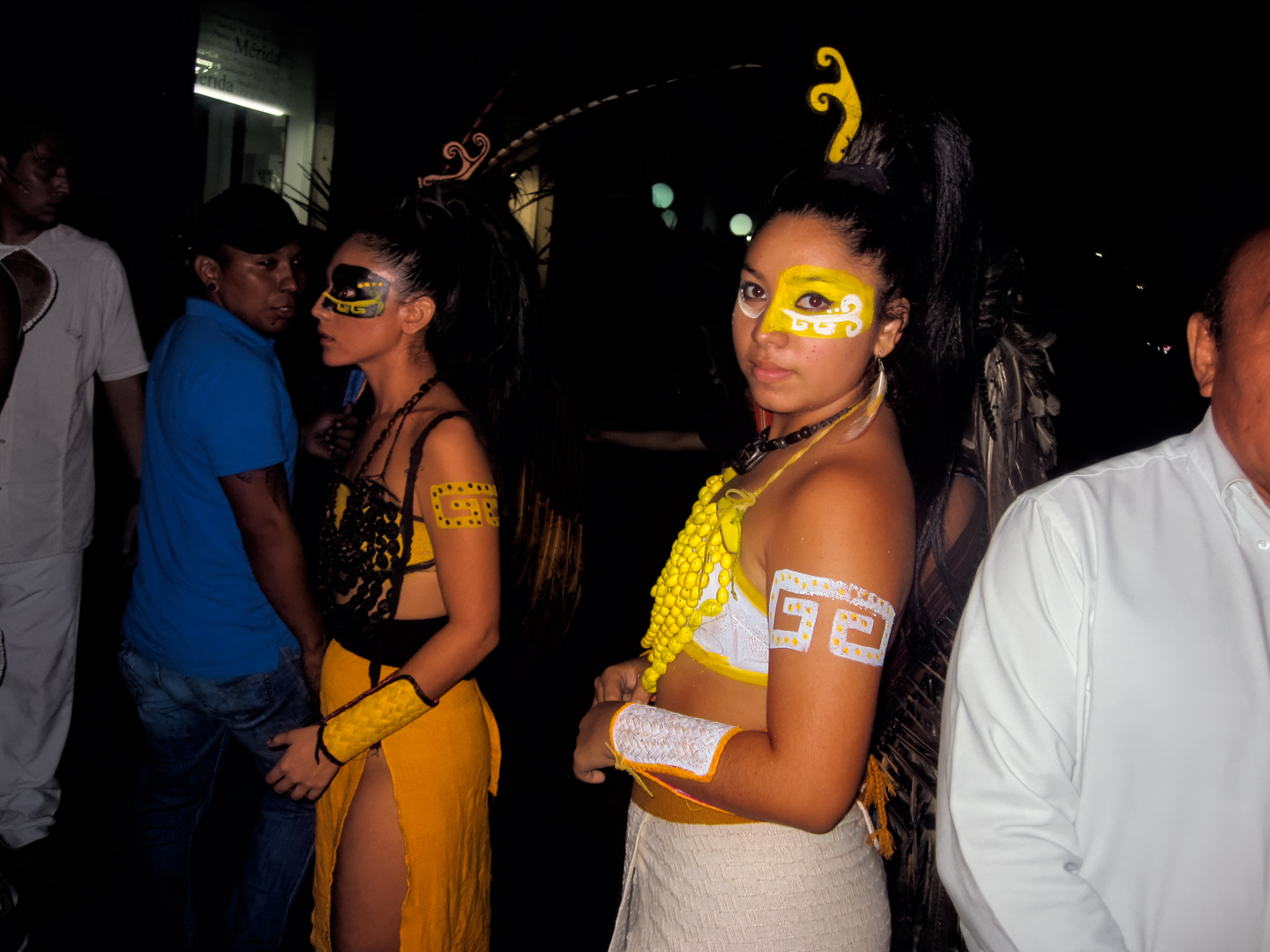
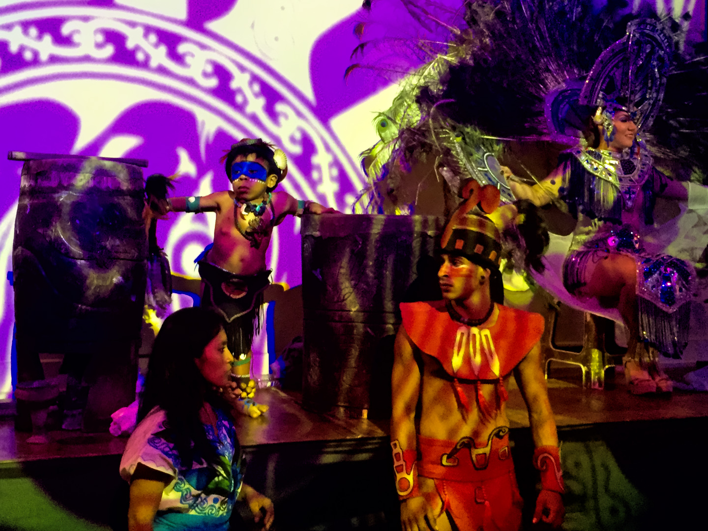
The festival features performers in costumes with a Mayan flair.
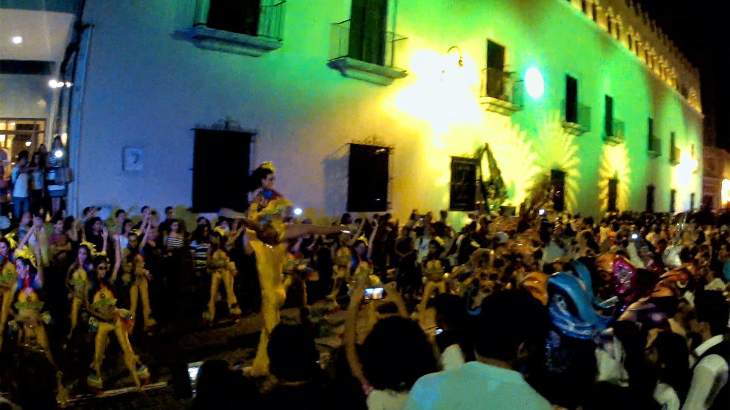
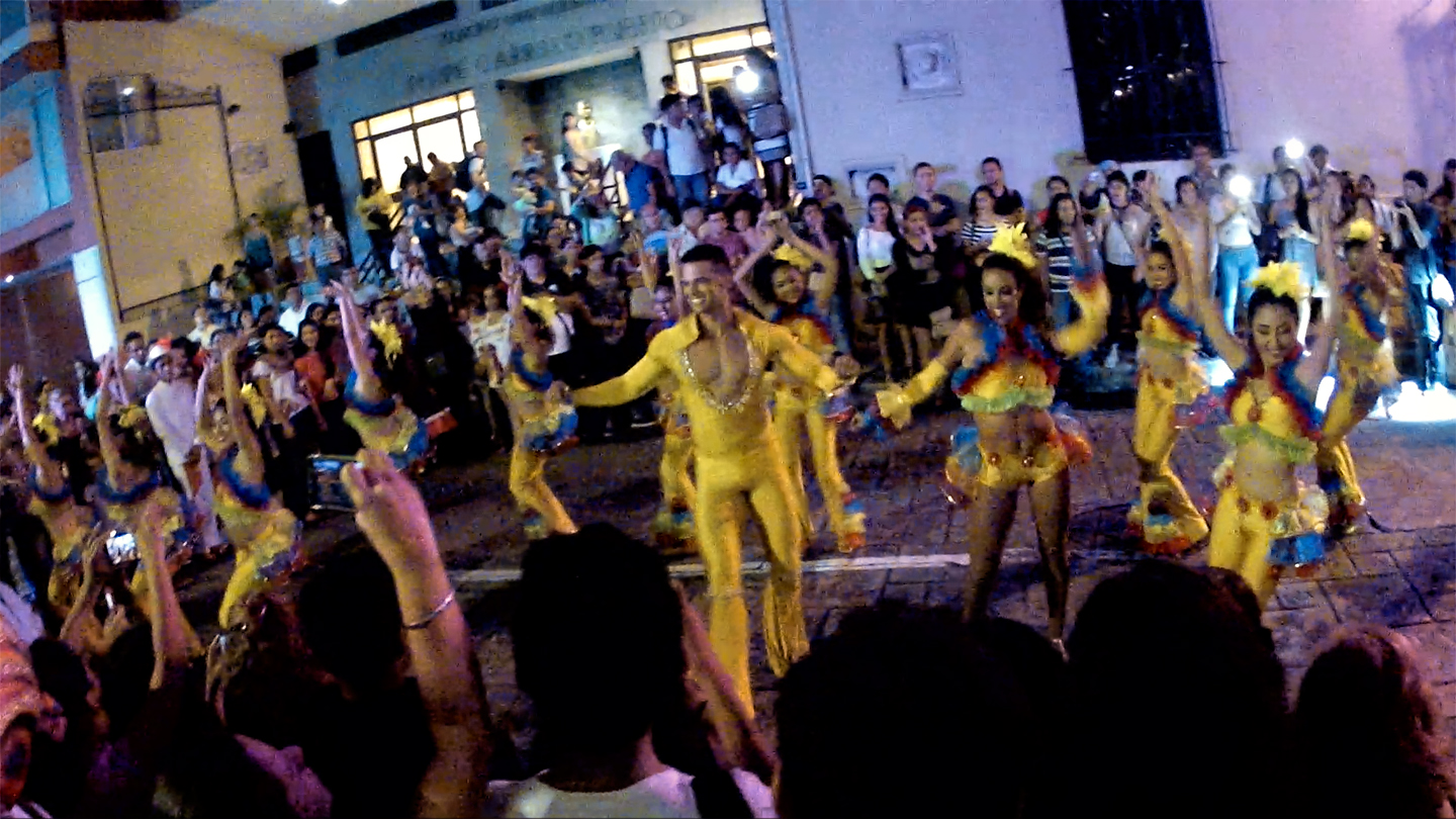
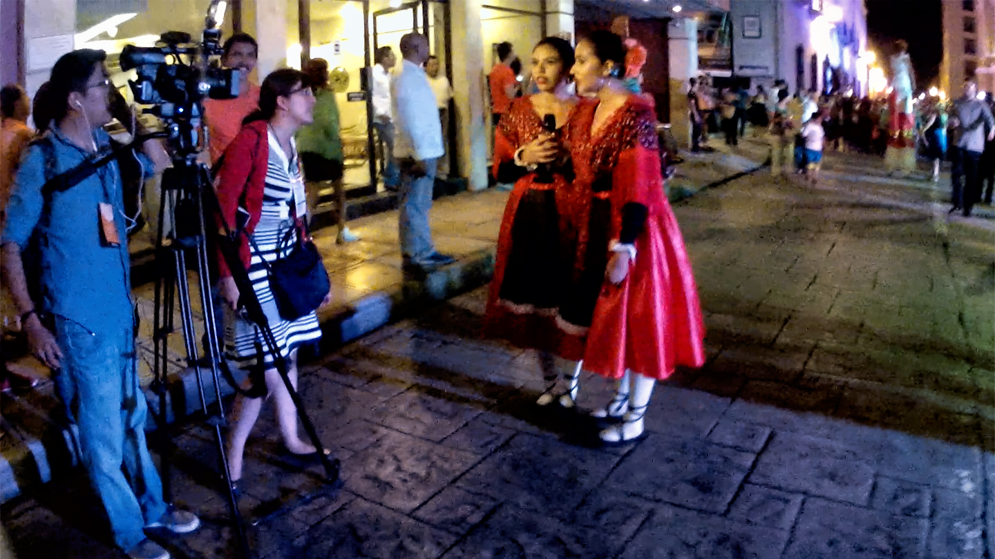
Mixed in with the Mayan themed entertainers, there were troupes of contemporary costumed dancers performing elaborate routines in the street, and at least one camera crew from the local television station covering the event.
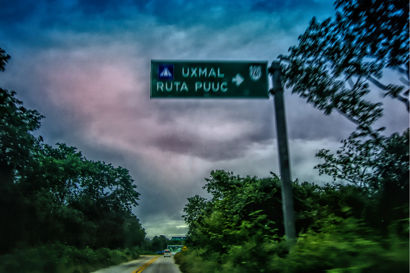
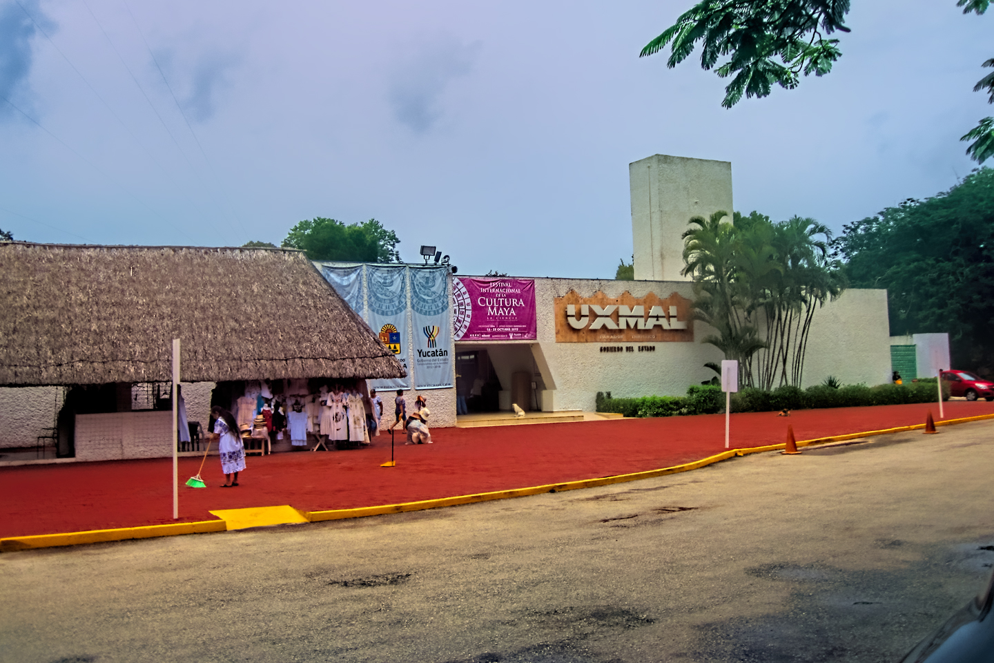
From what we could see, it was clear that the Meridanos, the good citizens of Merida, really know how to party! Our stop in the White City was, all in all, a great success, but now, I was ready to move on to some serious Mayan ruins. Uxmal was an hour south of the city, and Chichén Itzá was an hour and a half to the east, not quite halfway to Cancun and the Riviera Maya. I figured we should spend a day and a night at Uxmal, and then hit Chichén Itzá the following day. After that, Cancun, just so we could say we’d been there, followed by Tulum, the Mayan city by the sea, and after that? Still to be determined, but I was quite sure we’d figure it out. There was so much to look forward to, I had trouble falling asleep that night!

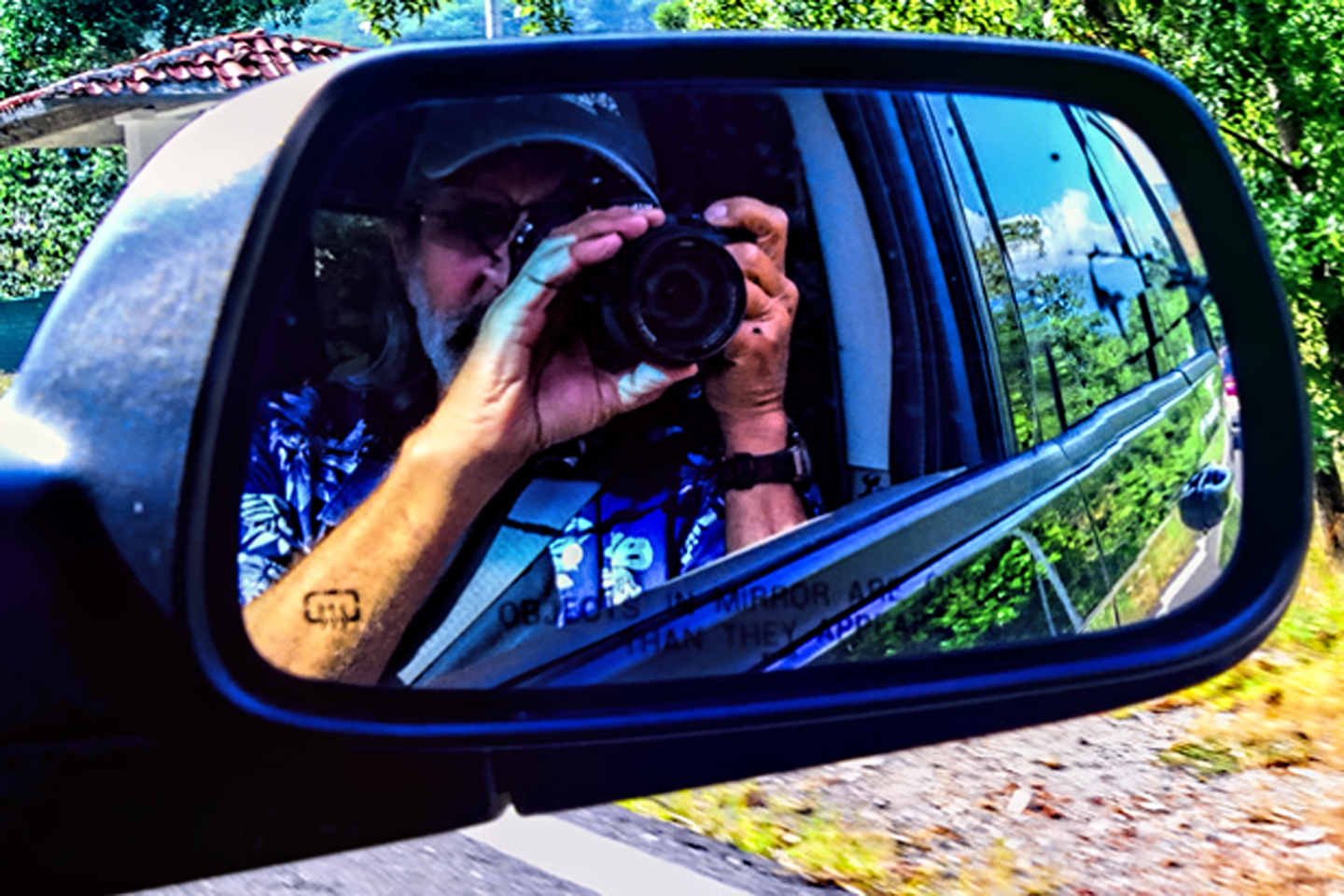
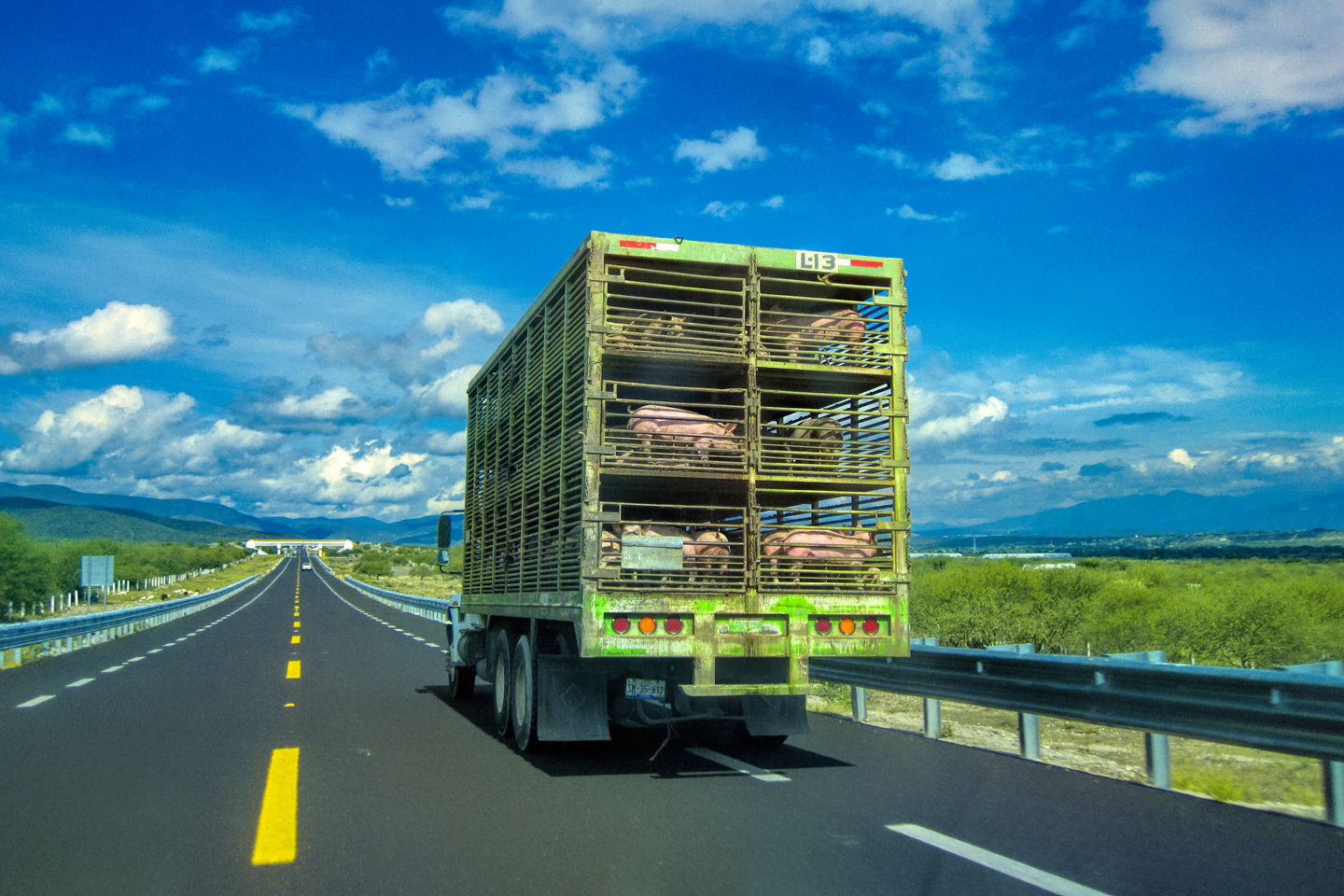
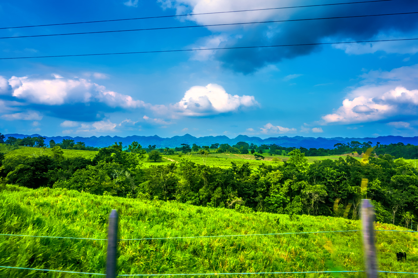
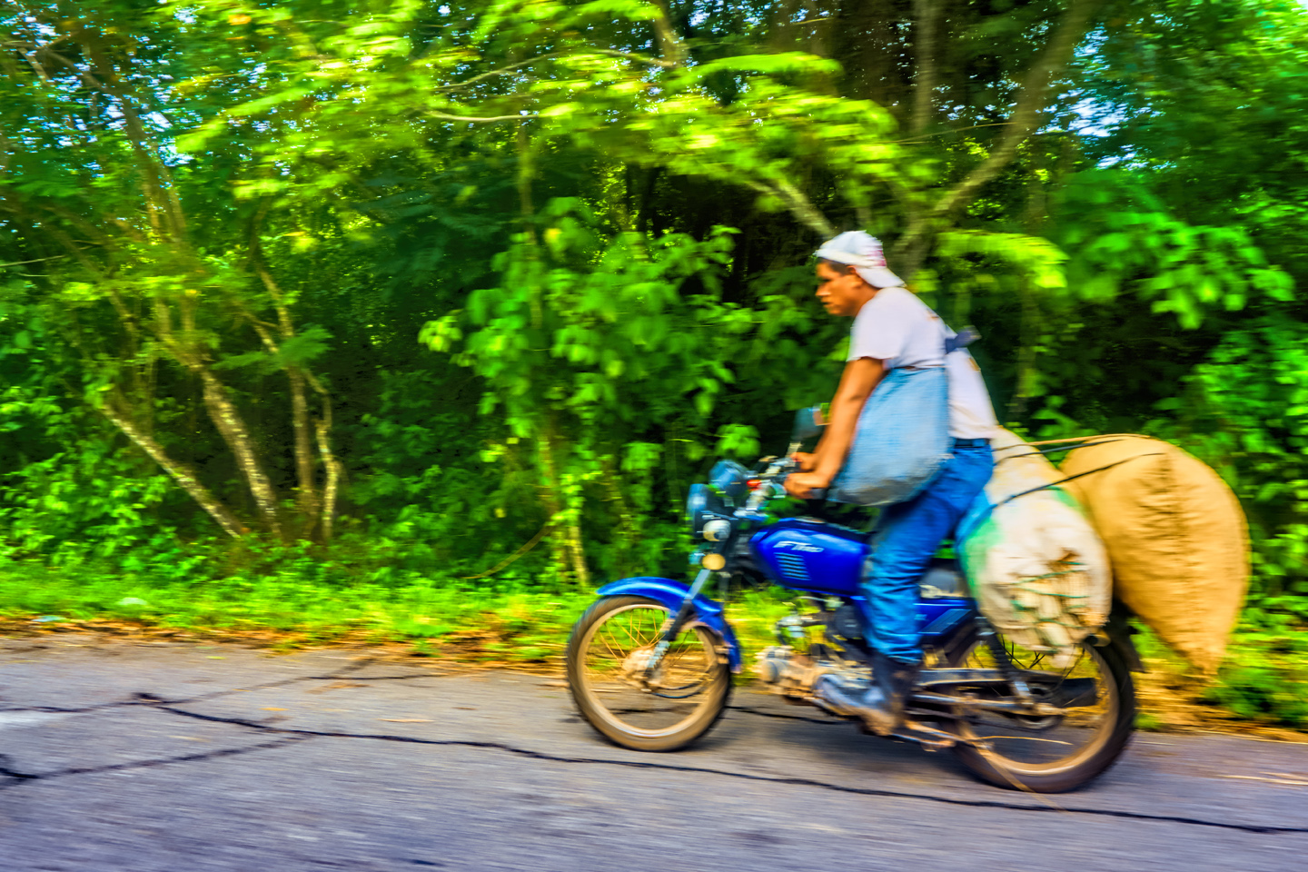
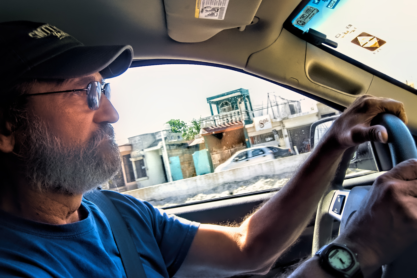
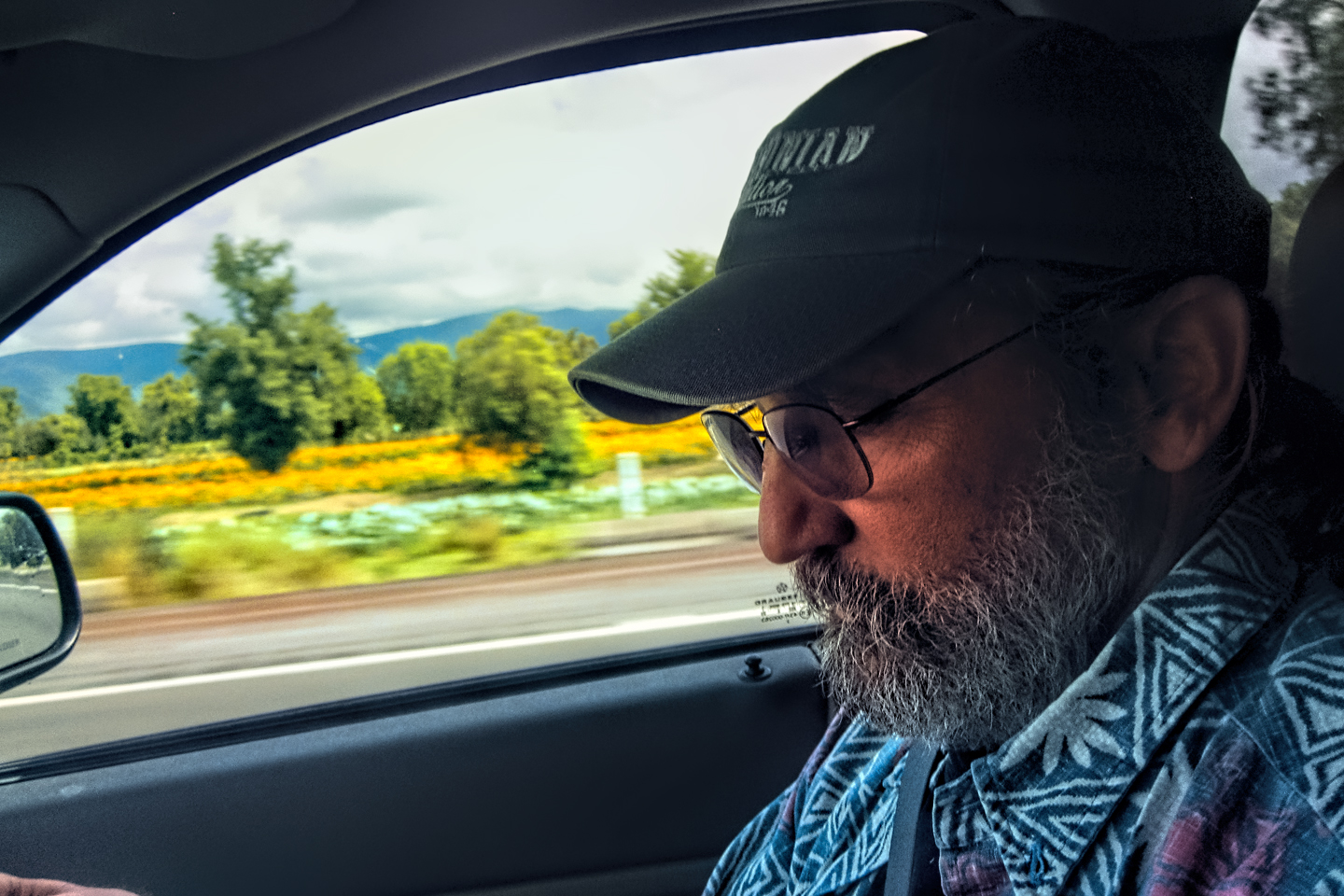
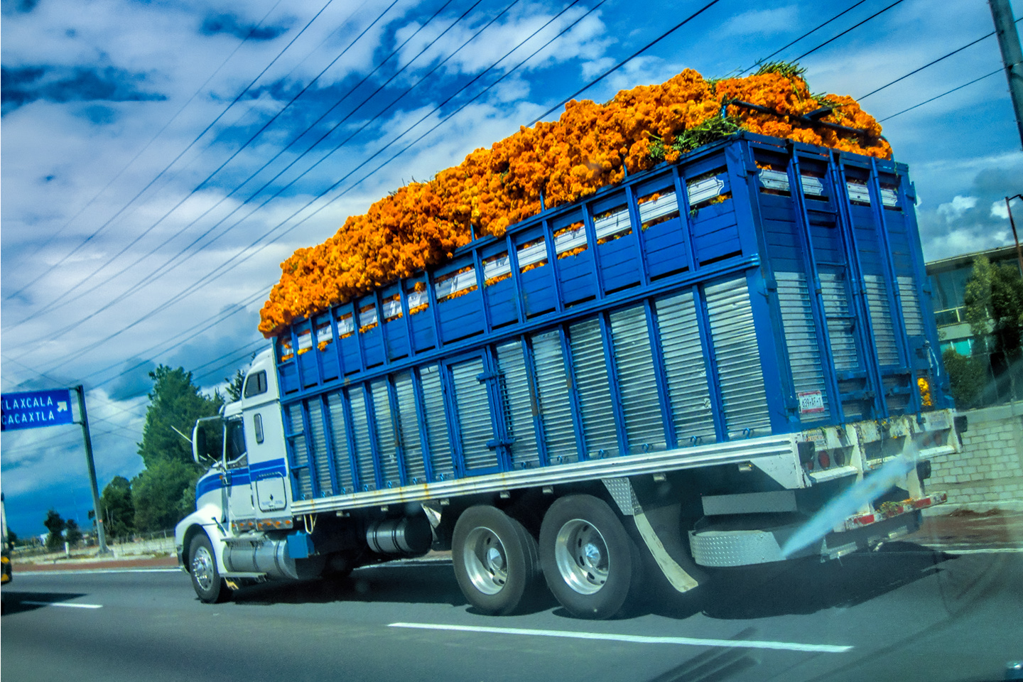
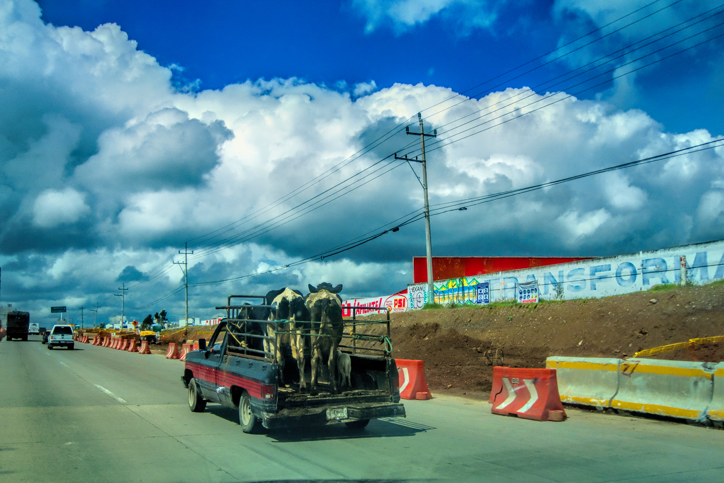
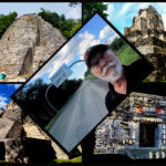
The photo collage below features additional pictures taken on the road in Mexico by my inestimable shotgun rider, Michael Fritz. Click any image to expand them to full screen:
(Unless otherwise noted, all other images are my (or Michael’s) original work, and are protected by copyright. They may not be duplicated for commercial purposes.)
Click any photo to expand the image to full screen
Michael Fritz. “Elmo,” 1949-2025
READ MORE LIKE THIS:
This is an interactive Table of Contents. Click the thumbnails to open the pages.
ON THE ROAD IN MEXICO

MEXICAN ROAD TRIP: HOW TO PLAN AND PREPARE FOR A DRIVE TO THE YUCATAN
The published threat levels are a “full-stop” deal breaker for the average tourist. That’s unfortunate, because Mexican road trips are fantastic! Yes, there are risks, but all you have to do to reduce those risks to to an acceptable level is follow a few simple guidelines.
<<CLICK to Read More!>>

Mexican Road Trip: Heading South, From Laredo to Villahermosa
When it was our turn, soldiers in SWAT gear surrounded my Jeep, and an officer with a machine gun gestured for me to roll down my window. He asked me where we were going. I’d learned my lesson in customs, and knew better than to mention the Yucatan. “We’re going to Monterrey,” I said, without elaborating.
He checked our ID’s and our travel documents, then handed them back. “Don’t stop along the way,” he advised. “You need to get off this road and to a safe place as quickly as you can!”
<<CLICK to Read More!>>

Mexican Road Trip: Zapatista Road Blocks in Chiapas
“Good morning,” I said. “We’re driving to Palenque. Will you allow us to pass?”
The leader of the group, a young Mayan lad, walked up beside my Jeep, and fixed me with a menacing glare. “The road is closed,” he said, keeping his hand on the hilt of his machete. “By order of the Ejército Zapatista de Liberación Nacional!”
“Is it closed to everyone?” I asked innocently. “How about if we pay a toll? How much would the toll be?”
He gave me an even more menacing glare. “That will cost you everything you’ve got,” he said gruffly, brandishing his machete, while his companions did the same.
<<CLICK to Read More!>>

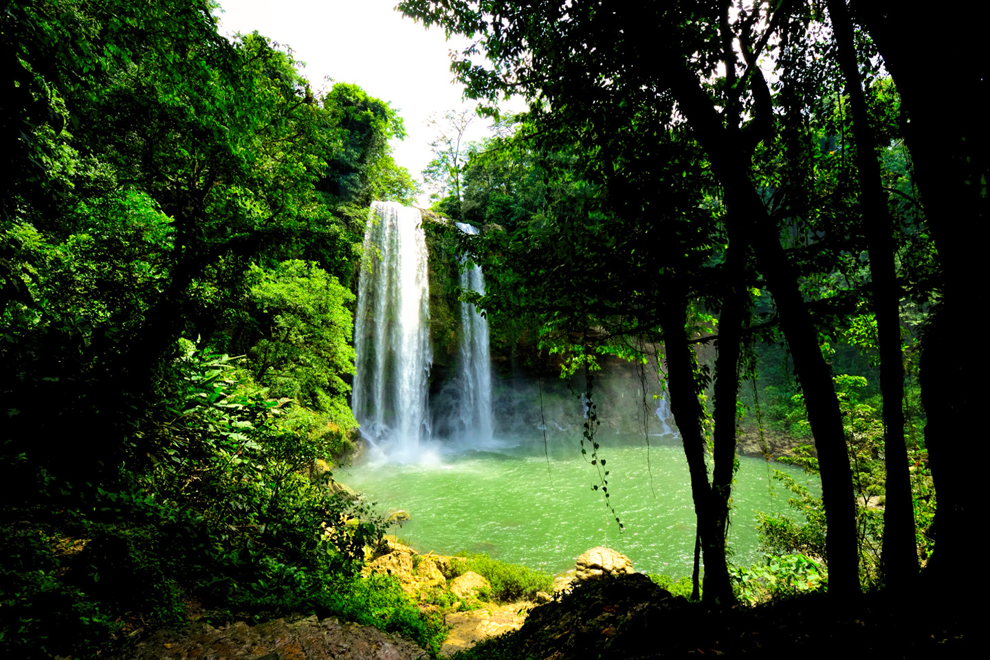
Mexican Road Trip: Mayan Ruins and Waterfalls in the Lacandon Jungle
The next morning, we were waiting at the entrance to the Archaeological Park a half hour before they opened for the day. We were the only ones there, so they let us through early, and I had the glorious privelege of photographing that wonderful ruin in the golden light of early morning, without a single fellow tourist cluttering my view.
<<CLICK to Read More!>>

Mexican Road Trip: Merida and the Meridanos
Merida is the largest city in southern Mexico, with a population of almost a million. Statistically, Yucatan is the safest of Mexico’s states, and Merida is widely considered the safest of all Mexico’s cities.
<<CLICK to Read More!>>

Mexican Road Trip: Cancún, Tulum, and the Riviera Maya
The millions of tourists who fly directly to Cancún from the U.S. or Canada are seeing the place out of context. They can’t possibly appreciate the fact that they’re 2,000 miles south of the border; a whole country, a whole culture, a whole history away from the U.S.A. Just looking around, on the surface? The second largest city in southern Mexico could easily pass for a beach town in Florida.
<<CLICK to Read More!>>

Mexican Road Trip: Circling the Yucatan, from Quintana Roo to Campeche
The Castillo at Muyil isn't huge, as Mayan pyramids go, topping out at just over 50 feet, but it’s definitely imposing. Try to imagine: the equivalent of a five story building, with a three story grand staircase, just appearing, out in the middle of nowhere? Boo-yah!
<<CLICK to Read More!>>

Mexican Road Trip: Edzná, and Campeche, Where They Dance La Guaranducha
La Guaranducha, a traditional dance from Campeche, is a celebration of life, community, and the joy of existence. On stage, there was a group of young men and women in traditional dress, but it was clear that the guys were little more than props, because all eyes were on the girls. So colorful, and so elegant, hiding coyly behind their pleated, folding hand fans.

Mexican Road Trip: Adventures Along the Puuc Route
All of these communities in the Puuc region were allied, politically, culturally, economically, and socially. The Puuc was the cradle of the Golden Age of the Maya. Labna and Sayil were among the brightest jewels in the crown of a realm that never quite coalesced into an empire.
<<CLICK to Read More!>>

Mexican Road Trip: The Road to Bonampak
Rainwater seeping through the limestone walls of the temple soaked the Bonampak Murals with a mineral-rich solution that, each time it dried, left behind a sheen of translucent calcite. The built-up coating protected the paintings for more than 1200 years. As a result, we're left with the finest examples of ancient art from the Americas to have survived into our modern era.

Mexican Road Trip: Crossing the Chiapas Highlands, to San Cristobal de las Casas
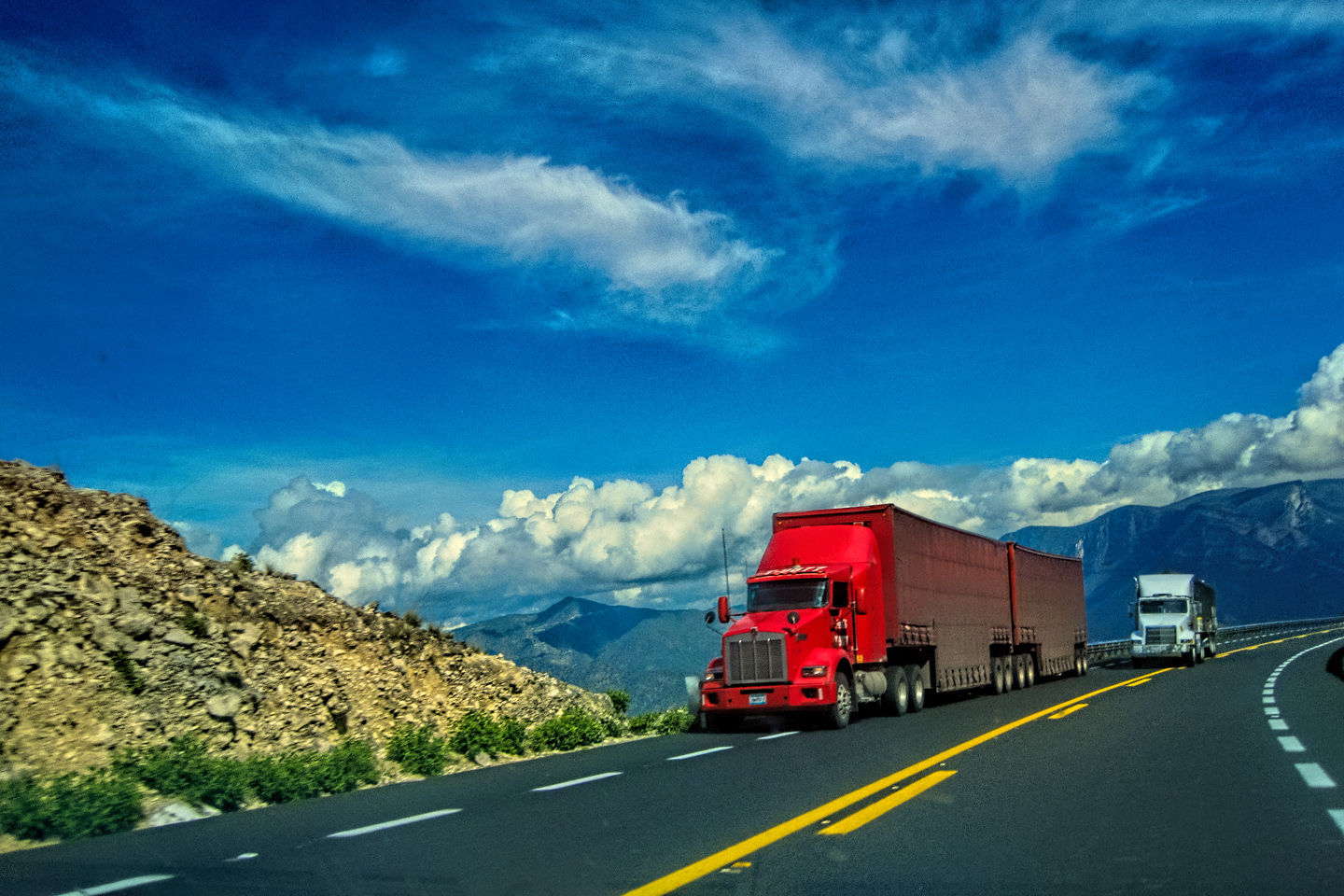
MX 199 crosses the Chiapas Highlands from Palenque to San Cristobal de las Casas. The distance is only 132 miles, but it's 132 miles of curvy mountain roads with switchbacks, steep grades, slow trucks, and villages chock-a-block with topes and bloqueos, unofficial road blocks. Everything I read, and everything I heard, described the drive as alternatively spectacular, dangerous, and fascinating, in seemingly equal measure.

Mexican Road Trip: Cruising the Sierra Madre, from San Cristobal to Oaxaca
Today, we’d be driving as far as the city of Oaxaca, 380 miles of curves, switchbacks, and rolling hills that would require at least ten hours of our full attention, crossing the Sierra Madre de Chiapas, and entering the rugged, agave-studded landscape of the Sierra Madre de Oaxaca. If you’d like to know what that was like, read on!

Mexican Road Trip: Flashing Lights in the Rear View: Officer Plata and La Mordida
As we drove away from the toll plaza, a State Police car that had been parked off to one side made a fast U-Turn and started following me. A moment later, he turned on his flashers and gave me a short blast on his siren, motioning for me to pull over. Two uniformed policemen got out, and approached me on the driver's side. One of them hung back, apparently checking out my license plate before making a phone call.
I wasn't sure if I was being stopped for some infraction, or if these guys were just fishing...

Mexican Road Trip: Three Days of the Dead in San Miguel de Allende
By mid-afternoon, the Jardin was beginning to fill with people. Painted faces were literally everywhere! It was like a costume party, but the venue wasn’t some hall or other indoor space, it was the whole entire town! Mike and I were definitely getting into the spirit of the thing–but we still drew the line at the notion of painting our beards...
Mexican Road Trip: Back to the Border: San Miguel de Allende to Eagle Pass
Saltillo was our crossroads: if we turned east here, we’d be retracing our previous route to the border at Nuevo Laredo--along the Highway of Death! This time, we knew better, so we turned north, toward Monclova, and Piedras Negras.


Southern Colonials: Merida, Campeche, and San Cristobal
Visiting the Spanish Colonial cities of Mexico is almost like traveling back in time. Narrow cobblestone streets wind between buildings, facades, and stately old mansions that date back three hundred years or more, along with beautiful plazas, parks, and soaring cathedrals, all of similar vintage.
<<CLICK to Read More!>>

San Miguel de Allende, Mexico's Colonial Gem
If you include the chilangos, (escapees from Mexico City), close to 20% of the population of San Miguel de Allende is from somewhere else, a figure that includes several thousand American retirees.
<<CLICK to Read More!>>

Day of the Dead in San Miguel de Allende
In San Miguel de Allende, they've adopted a variation on the American version of Halloween and made it a part of their Day of the Dead celebration. Costumed children circle the square seeking candy hand-outs from the crowd of onlookers. It's a wonderful, colorful parade that's all about the treats, with no tricks!
<<CLICK to Read More!>>
DIA DE LOS MUERTOS: A GALLERY OF PHOTOGRAPHS


IN THE LAND OF THE MAYA

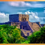
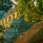
Palenque: Mayan City in the Hills of Chiapas
Palenque! Just hearing the name conjures images of crumbling limestone pyramids rising up out of the jungle, of palaces and temples cloaked in mist, ornate stone carvings, colorful parrots and toucans flitting from tree to tree in the dense forest that constantly encroaches, threatening to swallow the place whole.
<<CLICK to Read More!>>

Uxmal: Architectural Perfection in the Land of the Maya
The Pyramid of the Magician is one of the most impressive monuments I've ever seen. There's a powerful energy in that spot--maybe something to do with all the blood that was spilled on the altars of human sacrifice at the top of those impossibly steep steps--but more than any building or other structure at any ancient ruin I've ever visited, more than any demonic ancient sculpture I've ever seen, that pyramid at Uxmal quite frankly scared the hell out of me!
<<CLICK to Read More!>>

The Mayan City of Edzná: First House of the Itzás
The Mayan Edzná is nothing less than epic, lyrical poetry, an extraordinary sonnet comprised of temples and palaces carved in stone that have stood, in regal grandeur, for more than a thousand years.
<<CLICK to Read More!>>

Photographer's Assignment: Chichén Itzá
To get the best photos, arrive at the park before it opens at 8 AM. There will only be a handful of other visitors, and you’ll have the place practically all to yourself for as much as two hours! Take your time composing your perfect shot.There won’t be a single selfie stick in sight.
<<CLICK to Read More!>>

Chichén Itzá: Requiem for the Feathered Serpent
The feathered serpent with the unquenchable thirst for blood may be gone now, or at least fallen out of favor, but as long as the ruins of this ancient city remain standing, he won’t be forgotten.
<<CLICK to Read More!>>

Tulum: The City that Greets the Dawn
Tulum is not all that large, as Mayan sites go, but its spectacular location, right on the east coast of the Yucatan Peninsula, makes it one of the best known, and definitely one of the most picturesque.
<<CLICK to Read More!>>

Cobá and Muyil: Mayan Cities in Quintana Roo
Cobá was a trading hub, positioned at the nexus of a network of raised stone and plaster causeways known as the sacbeob, the white roads, some of which extended for as much as 100 kilometers, connecting far-flung Mayan communities and helping to cement the influence of this powerful city.
<<CLICK to Read More!>>

Becan and Chicanná: Mayan Cities in the Rio Bec Style
Much about the Rio Bec architectural style was based on illusion: common elements include staircases that go nowhere and serve no function, false doorways into alcoves that end in blank walls, and buildings that appear to be temples, but are actually solid structures with no interior space.
<<CLICK to Read More!>>

The Puuc Hills: Apex of Mayan Architecture
The Puuc style was a whole new way of building. The craftsmanship was unsurpassed, and some of the monumental structures created in this period, most notably the Governor’s Palace at Uxmal, rank among the greatest architectural achievements of all time.
<<CLICK to Read More!>>

The Amazing Mayan Murals of Bonampak
Out of that handful of Mayan sites where mural paintings have survived, there is one in particular that stands head and shoulders above the rest. One very special place. Down by the Guatemalan border, in a remote corner of the Mexican State of Chiapas: a small Mayan ruin known as Bonampak.
<<CLICK to Read More!>>
This series of posts is dedicated to my old friend Mike Fritz (aka Elmo), my shotgun rider on my Mexican Road Trip. "Drive to the Yucatan and See Mayan Ruins" was at the top of my post-retirement bucket list, right after "Drive the Alaska Highway and see Denali." We checked off the whole Yucatan thing in a major way, and Mike was a heck of a good sport about it.
Michael passed away in February of 2025, after 75 years of a life well-lived. He was unique, and he'll be missed.

Michael Fritz ("Elmo") 1949-2025

There's nothing like a good road trip. Whether you're flying solo or with your family, on a motorcycle or in an RV, across your state or across the country, the important thing is that you're out there, away from your town, your work, your routine, meeting new people, seeing new sights, building the best kind of memories while living your life to the fullest.
Are you a veteran road tripper who loves grand vistas, or someone who's never done it, but would love to give it a try? Either way, you should consider making the Southwestern U.S. the scene of your own next adventure.
A few years ago I wrote a book about road trips in Arizona and New Mexico that's a lot like this website, packed with interesting information, and illustrated with beautiful photographs. Check it out! You can find it on Amazon, and at all other major booksellers.

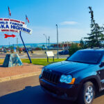
ALASKA ROAD TRIP:
MEXICAN ROAD TRIP (IN THE LAND OF THE MAYA):
ARIZONA AND NEW MEXICO:
SOUTH AMERICA:
PHOTOGRAPHY:
TRIBAL LANDS:
Recent Comments